 Block
Washington, Nebraska
14 topographic sheets cover this place, the earliest surveyed in 1893 and the latest in 1982. It stands in Township 7. It lies in ZIP code area 68068. The Survey maps it on the Kennard quadrangle. 129 people lived here at the 2020 count. It stands 1,148 feet above sea level.
Population over time
2 figuresWashington fell from 150 to 129 between 2010 and 2020. These are the recorded population figures Wikidata holds for this place, reached through the Geographic Names Information System number this page is keyed on rather than by name, so they belong to this place and not to another of the same name. Most are census counts, but not all are: an early figure may be a founding or settlement estimate, and an estimate published within five years of a census is left out. The change column is computed, and is left blank where more than 20 years separate a figure from the one before it, because a gap that long is not a change between two counts.
| Year | People | Change |
|---|---|---|
| 2010 | 150 | |
| 2020 | 129 | -21 (-14%) |
Topographic sheets covering this place
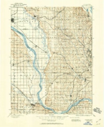
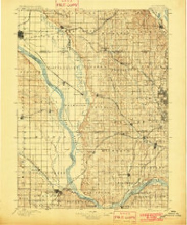
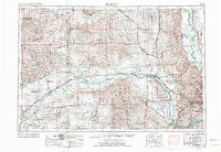
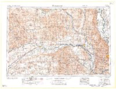
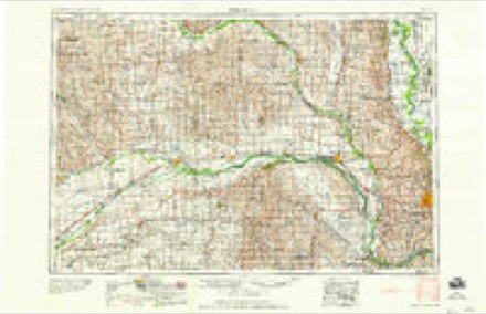
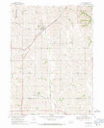
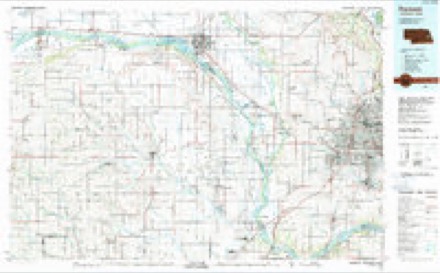
7 surveys from 14 printed sheetsMatched by testing this settlement's coordinate against the published boundary of every sheet in the United States Geological Survey's historical collection. Each opens the scanned sheet at the Survey.
- 1893 USGS Fremont quadrangle1:125000
- 1896 USGS Fremont quadrangle1:125000, 5 printings
- 1955 USGS Fremont quadrangle1:250000, 3 printings
- 1957 USGS Fremont quadrangle1:250000
- 1958 USGS Fremont quadrangle1:250000
- 1968 USGS Kennard quadrangle1:24000
- 1982 USGS Fremont quadrangle1:100000, 2 printings
Fires near this place
57 since 2008Regional context, not property-specific evidence. The federal wildfire occurrence database lists 57 fires within 5 miles of Washington between 2008 and 2020, burning about 424 acres in total. None started naturally. None was recorded as arson. Distance is straight-line from the map coordinates, so a fire counted here may appear on a neighbouring settlement's page as well.
| Reported cause | Fires |
|---|---|
| Debris and open burning | 35 |
| Missing data/not specified/undetermined | 11 |
| Recreation and ceremony | 4 |
| Misuse of fire by a minor | 3 |
| Fireworks | 2 |
| Power generation/transmission/distribution | 1 |
| Equipment and vehicle use | 1 |
The most recent of them, most recent first, with the day each was reported and the service that recorded it.
| Date | Cause | Size | Reported by | Name on the report |
|---|---|---|---|---|
| 8 August 2018 | Missing data/not specified/undetermined | under an acre | Nebraska Forest Service | not named |
| 31 August 2019 | Debris and open burning | under an acre | Nebraska Forest Service | not named |
| 23 August 2008 | Debris and open burning | under an acre | Nebraska Forest Service | not named |
| 5 July 2008 | Fireworks | under an acre | Nebraska Forest Service | not named |
| 4 July 2008 | Debris and open burning | under an acre | Nebraska Forest Service | not named |
| 29 July 2017 | Power generation/transmission/distribution | 1.0 acres | Nebraska Forest Service | not named |
| 22 July 2020 | Debris and open burning | under an acre | Nebraska Forest Service | not named |
| 22 July 2020 | Debris and open burning | under an acre | Nebraska Forest Service | not named |
Storms near this place
17 since 1998Regional context, not property-specific evidence. The National Weather Service names Washington in 17 storm reports between 1998 and 2025: 9 hail, 5 thunderstorm wind, 3 tornado. The reports record 3 injuries. Each account below is quoted exactly as the forecast office filed it, from the NOAA Storm Events Database, and each date opens the federal record of that event.
| When | Event | Place named | Harm | What the report says |
|---|---|---|---|---|
| August 2025 | Thunderstorm Wind | Washington | 2 hurt, $2,700,000 | A damaging wind event swept across Washington County, Nebraska, during the morning hours of August 9th, 2025, with a path of damage extending from the southwest to the eastern portion of the county. Measured wind reports indicated damaging wind speeds, with a maximum measured gust of 86 miles per hour reported by a public station 1 mile south-southeast of Blair. Widespread measured gusts throughout the county ranged from 58 miles per hour (recorded at the Blair Municipal AWOS) to 70 miles per hour.||However, the severity of the damage suggested straight-line winds were considerably higher, with the peak estimated wind speed reaching 110 miles per hour 1 mile south-southeast of Blair, where a building roof collapse was reported. Near Blair, the destruction was particularly acute; estimated 95 miles per hour gusts snapped large tree trunks, and estimated 90 miles per hour winds resulted in a very large tree fell onto a camper 4 miles northeast of Blair. Other reports of estimated 90 mph gusts included siding ripped off a garage and large trees (2-3 feet in diameter) downed near 2 SSE Kennard. Given the wide-scale damage to infrastructure, the estimated cost for public infrastructure repairs alone reached $2,699,403.00. This figure does not reflect the total economic damage, which includes the extensive losses sustained by private and commercial properties. |
| April 2024 | Tornado (EF4) | Washington | 1 hurt | This segment of the tornado is a continuation of the EF-4 tornado that tracked through western Douglas County. After crossing Dutch Hall road into southern Washington County, the tornado damaged homes and farm outbuildings between County Road 29 and County Road 31 from Dutch Hall Road to County Road 36. The width of the tornado at this time ranged from one-third to one-half mile wide. The most significant damage was sustained to a home, machine shop and horse barn, one-third of a mile southeast of the intersection of County Road 40 and County Road 29. Trees were snapped and debarked, the house was moved from its foundation, flat-bed and horse-trailers rolled or lofted, and the machine shop and horse barns destroyed. The storm damage survey following this tornado determined high-end EF-3 damage occurred here. At least one horse was killed, and several others were injured. After this, the tornado crossed the intersection of County Road 36 and County Road 31, producing EF-0 to EF-1 damage in the form of partial roof and siding loss to farm buildings and manufactured homes, plus the snapping of large tree limbs. As it approached State Highway 133, several homes and farm outbuildings sustained EF-2 damage due to the loss of roofs or exterior walls. Crossing Highway 133, the tornado was just less than one-half mile wide, and moved into residential areas generally between County Road 32 and US Highway 75. The most significant damage of the whole tornado track occurred near the intersections of County Road P30 and County Road 33 with the destruction of multiple homes. Several houses were rated with high-end EF-3 damage, and one house was rated as receiving EF-4 damage. Peak winds in this area were estimated to be 170 miles per hour. The tornado then crossed US Highway 75 about 2 miles southeast of Blair moving across the very southern portion of the Cargill plant. The tornado weakened and narrowed, but snapped power poles and derailed several empty rail container cars from the tracks, resulting in EF-1 damage. The peak width of the tornado during this segment of its track was 1900 yards wide, with an average width of around 1000 yards. The tornado continued into southwestern Harrison county in Iowa where it dissipated shortly after crossing US Highway 30. |
| April 1998 | Thunderstorm Wind | Washington | $150,000 | no account filed |
| April 2024 | Hail | Washington | - | The office received a public report of quarter sized hail on mPING. |
| July 2023 | Hail | Washington | - | Public reported 1-inch hail via mPING. |
| July 2021 | Thunderstorm Wind | Washington | - | Personal weather station measured a peak wind gust of 59 mph. |
| August 2016 | Tornado (EF0) | Washington | - | A second brief touchdown was observed from the same supercell that produced the earlier tornado. This brief touchdown occurred just to the northeast of the previous touchdown. No damage was observed in the area. |
| August 2016 | Tornado (EF0) | Washington | - | A rapidly rotating wall cloud was observed to the north northeast of the town of Washington. The wall cloud produced a funnel that briefly had a condensation to the surface with a dust debris cloud present. No damage was observed in the area from the tornado. |
| May 2012 | Hail | Washington | - | Hail around dime-size fell for around 20 minutes southeast of Arlington. |
| May 2012 | Hail | Washington | - | Hail up to golf ball-size fell around 9 pm CDT southeast of Arlington. Hail around dime-size, however, fell until around 920 pm CDT. |
| March 2011 | Hail | Washington | - | Hail up to 1.5 inches in diameter fell from around the Washington area to the southwest side of Blair. The larger hail stones were mainly around the Washington area which caused extensive vehicle and roof, siding and window damage around Washington. |
| March 2006 | Thunderstorm Wind | Washington | - | Thunderstorm winds estimated at 60 mph blew down a barn northeast of Washington. |
| September 2006 | Thunderstorm Wind | Washington | - | A trained spotter estimated that thunderstorm winds gusted over 60 mph near Washington. |
| September 2016 | Hail | Washington | - | no account filed |
| August 2016 | Hail | Washington | - | no account filed |
| March 2009 | Hail | Washington | - | no account filed |
| August 2005 | Hail | Washington | - | no account filed |
Nearest settlements
The eight closest, with where each one stands in the county. Distances are straight-line, computed from the Geographic Names Information System coordinates.
| Map | Place | Distance | Sheets |
|---|---|---|---|
| Kennard | 5.2 miles | 14 | |
| Arlington | 8.5 miles | 15 | |
| Fort Calhoun | 10.4 miles | 15 | |
| De Soto | 10.6 miles | 15 | |
| Orum | 10.8 miles | 8 | |
| Blair | 11.1 miles | 9 | |
| Nashville | 11.2 miles | 13 | |
| Fontanelle | 15.2 miles | 8 |
Elsewhere
Matched on this settlement's Geographic Names Information System number rather than its name, so it cannot be a different place of the same name in another state.
| Wikipedia article on Washington | An encyclopaedic summary. Its text is share-alike, so it is linked here rather than copied. |
| Wikidata item Q2029442 | The structured record the population and elevation above come from. Public domain (CC0). |
Provenance
This settlement is recorded in the Geographic Names Information System as feature 834490. The sheet list is computed by point-in-boundary test against the United States Geological Survey's historical topographic inventory. Both are works of the United States government and carry no copyright under 17 U.S.C. 105.
Wildfire. Short, Karen C. 2022. Spatial wildfire occurrence data for the United States, 1992-2020 [FPA_FOD_20221014]. 6th Edition. Fort Collins, CO: Forest Service Research Data Archive. https://doi.org/10.2737/RDS-2013-0009.6 Collected with United States Government funding and usable without additional permissions or fees.
Storms. NOAA National Centers for Environmental Information, Storm Events Database https://www.ncei.noaa.gov/stormevents/ A work of the United States government, no copyright under 17 U.S.C. 105. Narratives are quoted verbatim from the National Weather Service report and are not edited or summarised.