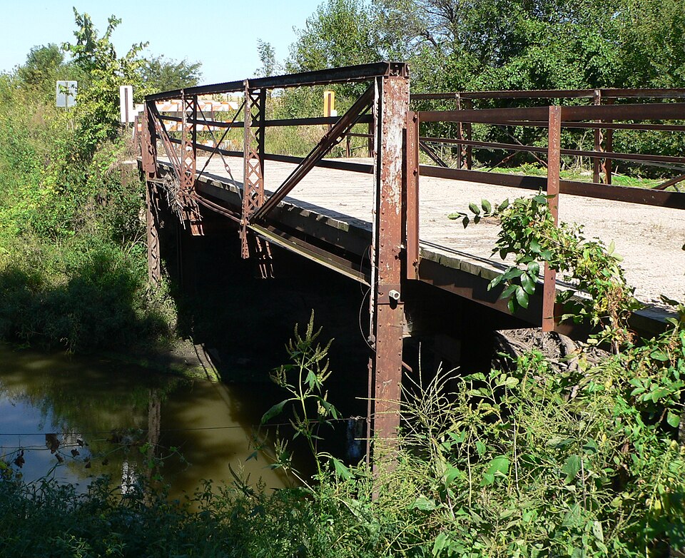
| September 2014 | Flood | Surprise | $5,000 | The Big Blue River rose above flood stage on the evening of the 11th, and then crested in the early morning on the 12th before falling below flood stage later on the same day. The flooding was minor and confined to low-lying areas along the river. |
| June 1997 | Thunderstorm Wind | Surprise | $3,000 | no account filed |
| July 2011 | Flood | Surprise | $1,000 | Rainfall of 3 to 5 inches fell across sections of the upper Big Blue River west of Surprise. The heavy rain caused the Big Blue River near Surprise to exceed its 7 foot flood stage for a little over 24 hours. The flooding affected mainly agricultural lowlands along the river. |
| May 2011 | Flood | Surprise | $1,000 | Rainfall of around 3 inches in several hours caused flooding along the upper reaches of the Big Blue River near Surprise. The river near Surprise crested at little over 8 feet a little before midnight CST on the 12th, flood stage is 7 feet. Flooding mainly affected agricultural lowlands but also flooded a county road or two in the area. |
| May 2011 | Flash Flood | Surprise | $1,000 | Heavy rain, around 3 inches in a few hours in the Surprise area, caused the Big Blue River and some small tributaries to flood in the Surprise area. The flooding mainly affected agricultural lowlands, but a few roads were also flooded for a bit. |
| July 2024 | Flood | Surprise | - | Flooding from excessive rain runoff was noted at the Surprise river gauge (SRPN1) along the Big Blue River in southwestern Butler county. The river gauge crested at 2 am CST on the 2nd at a height of 7.57 feet. Flood stage continued until 2 am CST on the 4th. |
| October 2023 | Thunderstorm Wind | Surprise | - | Emergency Manager relayed a report of a center pivot that had flipped in the storm. The time was estimated by radar. |
| October 2023 | Thunderstorm Wind | Surprise | - | Emergency Manager reported a roof ripped off of a shed. The time was estimated by radar. |
| June 2020 | Thunderstorm Wind | Surprise | - | Public reported damage to agriculture buildings on farm. |
| May 2019 | Heavy Rain | Surprise | - | Measured 3.0 inches of rain in Surprise in 24 hours. |
| May 2019 | Heavy Rain | Surprise | - | Overnight rainfall of 2.78 inches. |
| May 2016 | Flood | Surprise | - | Minor flooding was observed along the Big Blue River near the city of Surprise. The river crested at 9 feet on the 14th. This led the flooding of agricultural land along the river, as well as Country Road 24 1/2 downstream of Surprise. |
| July 2014 | Hail | Surprise | - | A trained spotter just north of the town of Surprise reported hail up to baseball size. The hail continued south into town where reports of golf ball to hen egg size hail were reported. |
| May 2013 | Thunderstorm Wind | Surprise | - | Center pivot was flipped over and a grain bin was damaged. |
| May 2011 | Hail | Surprise | - | Golf ball-size hail fell near Surprise from the first of 2 supercell thunderstorms that hit the area within an hour and half or so. The hail from the storms covered the ground several inches deep that stayed on the ground for a few hours. |
| May 2011 | Flash Flood | Surprise | - | Several slow moving thunderstorms crossed the Surprise area dropping around 2 to 3 inches of rain in a few hours. This produced flash flooding over at least one road in or near Surprise. Damage due to flooding was minimal, however. The storms also dropped large hail in the region and a funnel or possible brief tornado. |
| May 2011 | Heavy Rain | Surprise | - | Rainfall of close to 3 inches fell in a few hour period in the Surprise area. The rain caused flash flooding along parts of the upper reaches of the Big Blue River. |
| June 2008 | Flood | Surprise | - | Heavy rain producing thunderstorms that tracked across the Big Blue River basin on June 4th caused the Big Blue River to flood from near Surprise downstream into Seward county south of Ulysses for the second time in a week. This time the crest was much higher and the water remained above flood stage longer due to additional heavy rain producing thunderstorms from June 5th through early on the 8th. The flooding from this event began during the early morning hours of June 5th and in Butler county it continued into the early morning hours of June 11th. The river at Surprise reached a crest of 11.3 feet around 7pm CDT on June 5th, flood stage is 7 feet. The flooding closed many county roads and a few highway spurs from near Surprise downstream through Ulysses. The flooding around Ulysses hampered tornado cleanup. Farmland was also flooded. The North Branch of the Big Blue River also flooded for a while on June 5, which caused the closure of Highway 92 between northbound Highway 15 and northbound Highway 81. |
| June 2008 | Flood | Surprise | - | This flooding event along the Big Blue River continued from late May when heavy rainfall during the evening of May 29th caused the Big Blue River to flood from near Surprise downstream into Seward county south of Ulysses. The flooding began during the early morning hours of May 30th and in Butler county it continued into the late morning hours of June 1st. The river at Surprise reached a crest of 7.7 feet at 915pm CDT on May 31st, flood stage is 7 feet. The flooding affected mainly just agricultural lowlands. |
| May 2008 | Flood | Surprise | - | Heavy rainfall during the evening of May 29th caused the Big Blue River to flood from near Surprise downstream into Seward county south of Ulysses. The flooding began during the early morning hours of May 30th and in Butler county it continued into the late morning hours of June 1st. The river at Surprise reached a crest of 7.7 feet at 915pm CDT on May 31st, flood stage is 7 feet. The flooding affected mainly just agricultural lowlands, but a few county roads were flooded. |
| June 2008 | Hail | Surprise | - | A few hailstones approached baseball-size in the Surprise area which busted a few windshields. The hail was from the same supercell thunderstorm that produced a tornado in the Ulysses area. |
| August 2007 | Flood | Surprise | - | Flooding was observed along the Big Blue River from near Surprise to around Ulysses. The flooding closed a few county roads and also flooded some agricultural lowlands.||The Big Blue River at Surprise was above its 7 foot flood stage from around 445 am CDT on 8/8 until 345 am on 8/11. The river crested just under 9.5 feet around 1130 pm CDT on 8/9, but observed a 12-18 hour high water flow of around 9.3 to 9.5 feet centered on that time. |
| May 2006 | Thunderstorm Wind | Surprise | - | Thunderstorm winds were estimated at 60 mph by a trained spotter near Surprise. |
| May 2006 | Thunderstorm Wind | Surprise | - | Spotters estimated thunderstorm winds gusted to 65 mph east of town. |
| September 2006 | Thunderstorm Wind | Surprise | - | A downburst that encompassed the Surprise tornado this evening had a footprint that was approximately 10 miles long by 3 miles wide. A NWS storm survey estimated that wind speeds were around 80 mph with a maximum gust of possibly up to 100 mph which snapped several power poles. In addition to the snapped poles the downburst winds flipped several center pivots, damaged trees, flattened crops and cause minor to moderate structual damage throughout a 28 square mile area. |
| September 2006 | Tornado (F2) | Surprise | - | A tornado did extensive tree damage and some structual damage throughout the town of Surprise including destroying a mobile home and tearing the roof off of a bar. The tornado was embedded in a larger downburst area that did damage over a 28 square mile area surrounding Surprise according a NWS storm survey. The tornado was rated an F2 in Surprise, where it initially touched down, and then weakened and lifted a few minutes later 1 mile northeast of town. |
| May 2011 | Hail | Surprise | - | no account filed |
| May 2003 | Hail | Surprise | - | no account filed |
| April 2002 | Hail | Surprise | - | no account filed |
| July 2002 | Hail | Surprise | - | no account filed |
| June 1999 | Hail | Surprise | - | no account filed |
 Block