| August 2015 | Thunderstorm Wind | Stratton | 1 killed, $1,040,000 | The high wind gust snapped the top of an 80 foot tree off, with the top of the tree flying over a nearby house. The wind also flipped a swing set. The house shook because the winds were so strong. Elsewhere around town there was widespread, major tree damage. Twelve to eighteen inch diameter trees were snapped and uprooted. Power poles were damaged which lead to power outages in town and the surrounding area. In town one garage and one unanchored mobile home were destroyed. There were many roofs damaged as well as siding on houses. A camper was overturned, damaged and resulted in one (direct) fatality. |
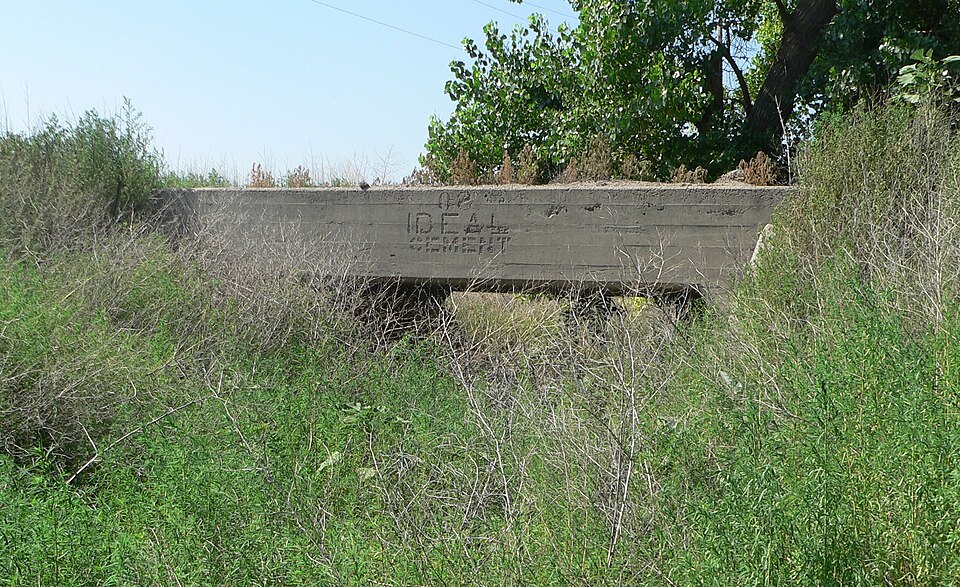
| May 2023 | Flood | Stratton | $740,000 | Highway 34 from Benkelman to Trenton was closed due to flooding. Highway 25 from Trenton to highway 6 was also closed. The train bridge west of Stratton was washed out due to the flooding. A road grader was also found to be almost fully submerged. |
| May 2025 | Tornado (EF3) | Stratton | $575,000 | The tornado touched down south of Muddy creek where it tore shingles off of a house. The tornado then traveled to the north and crossed Road 714. As it crossed the road it completely removed a metal machine shed, which included pulling bolts through the concrete foundation. The structure was tossed roughly 50 yards to the north. Other notable damage at this location included leveling two buildings at an old farmstead, pushing a combine roughly 60 feet, tipping over an empty grain cart into a grain truck, pushing a drill backward in the shape of a quarter circle, and then scattering seven empty cattle feeders feeders in a line going north into a wheat field. ||The tornado continued north to CR 717 where it damaged trees and grain bins, broke a power pole, and blew a stock tank over a hundred yards at a homestead. The tornado then turned northeast crossing 12th Ave and CR 720 causing damage to trees, pivots, or structures. It then turned back north after passing the CR 720 and Veteran's Highway intersection. It continued along Veteran's Highway, breaking off 30 power poles before ending just south of a homestead between CR 723 and CR722. ||The path north of CR 714 is estimated based on radar imagery and connecting the points of the tornado damage that was surveyed. |
| July 2020 | Thunderstorm Wind | Stratton | $500,000 | Emergency Manager reported power outages in Stratton, Culbertson, Trenton, and Palisade. |
| May 2025 | Thunderstorm Wind | Stratton | $350,000 | A storm survey found estimated 120 mph straight line winds that continued along Highway 34 to the northeast. Multiple sheds and at least 15 power poles were blown down along with numerous large tree limbs. 3 center pivots along the straight lined wind path were also flipped. The damage path was roughly 1600 yards wide. |
| June 2025 | Thunderstorm Wind | Stratton | $80,000 | A spotter relayed via pictures of a flipped pivot in a open field with an associated shower overhead. |
| May 2025 | Tornado (EF0) | Stratton | $80,000 | A storm chaser relayed that a satellite tornado from the main tornado to the north crossed Highway 34 along with flipping a pivot. |
| May 2025 | Thunderstorm Wind | Stratton | $75,000 | A NWS storm survey found damage to a farmstead at the intersection of CR 716 and 351 from straight line winds. Damage included part of a wheat header rotated in place. An empty grain bin was destroyed, with parts of it blown against a machine shed to the northeast. Part of door blown off track; doors were closed. Part of the destroyed bin was impaled in the roof. Wheels on a grain auger were bent. Hardwood trees were snapped. A roof was also blown off of a well house. Another farmstead to the northeast across Road 351 sustained damage which included an empty gravity wagon tipped over along with a large swath of tree trunks apart of a wind break snapped. An old barn was also collapsed. |
| June 1994 | Hail | Stratton | $50,000 | no account filed |
| May 2025 | Thunderstorm Wind | Stratton | $40,000 | An NWS Storms survey found evidence of straight line winds along Road 714 north of Stratton in the form of 50 yards of fence posts broken near poles. An additional 3 power poles were also found snapped roughly 3-5 feet from the surface. Further east along Road 714 hardwood trees had been uprooted. Further to the east a large 10 inch tree uprooted; additional trees around 2 foot in diameter were also uprooted. |
| May 2021 | Flash Flood | Stratton | $25,000 | Heavy rain produced flash flooding, washing out a culvert and portions of County Road 714 along a creek. |
| August 2002 | Thunderstorm Wind | Stratton | $1,500 | Roof of house damaged. |
| August 2002 | Hail | Stratton | $1,000 | Numerous house windows lost due to 4-inch hail. |
| August 2009 | Lightning | Stratton | $750 | Lightning started a pasture fire. |
| July 2022 | Thunderstorm Wind | Stratton | $500 | A trained spotter called in a report of estimated 55 mph winds based on damage to a metal lid. The lid is reportedly 50 pounds and has about a 5 foot cross-section. The lid flew off of a 10 foot tall bin due to the wind. The lid was damaged but still functional according to the spotter. |
| July 2020 | Flash Flood | Stratton | $100 | Runoff from prolonged heavy rainfall in Dundy County caused the Republican River to surpass flood stage in the western part of Hitchcock County, from the county line to Stratton. The flood waters did not cause any damage to buildings, roads, or bridges along the river channel. In addition, the river stage at Stratton was just under 11 feet, which is just below the record stage for the site. |
| June 2025 | Thunderstorm Wind | Stratton | - | AWN site Lorens farm reported a 64 mph wind gust. |
| May 2025 | Hail | Stratton | - | The public reported two inch hail. |
| July 2025 | Hail | Stratton | - | Law enforcement report of hail ranged from half inch to golf ball size. |
| July 2025 | Hail | Stratton | - | Public report of hail near penny to dime size in Stratton. |
| August 2025 | Hail | Stratton | - | A trained spotter reported ping pong ball size hail. |
| May 2024 | Thunderstorm Wind | Stratton | - | A center pivot was drug roughly three feet and flipped on its side. |
| June 2024 | Hail | Stratton | - | Quarter to half dollar size hail was reported in the town of Stratton. |
| July 2023 | Hail | Stratton | - | Pea to penny sized hail observed. Hail was mainly pea to dime in size, with a few the size of pennies. |
| July 2023 | Hail | Stratton | - | The hail ranged from dime to nickel in size and was accompanied by 50 MPH gusts. |
| August 2023 | Hail | Stratton | - | Dime size hail was covering the ground on County Road 350 between roads 722 and 720. |
| August 2023 | Hail | Stratton | - | Report received of quarter sized hail in field at location. |
| June 2023 | Hail | Stratton | - | Report of pea to golf ball sized hail at the Swanson Reservoir. Broken windows and camper damage reported. |
| July 2023 | Hail | Stratton | - | Spotter reported hail up to quarters in size at location. Time is radar estimated. |
| August 2023 | Hail | Stratton | - | Report received of hail up to ping pong ball sized at location. Most of the hail was quarter sized. |
| August 2023 | Hail | Stratton | - | Trained spotter estimated nickel size hail fell over the location. |
| July 2020 | Flood | Stratton | - | Runoff from prolonged heavy rainfall in Dundy County caused the Republican River to surpass flood stage in the western part of Hitchcock County, from the county line to Stratton. The flood waters did not cause any damage to buildings, roads, or bridges along the river channel. In addition, the river stage at Stratton was just under 11 feet, which is just below the record stage for the site. |
| June 2017 | Hail | Stratton | - | Estimated wind gusts of 30-40 MPH occurred with the hail. |
| May 2015 | Flood | Stratton | - | The Republican River near Stratton was out of its banks by a quarter to half a mile on both sides of the river. The crest of the river peaked at a height of 10.89 ft. at 7 A.M. CST. |
| April 2013 | Hail | Stratton | - | Spotter measured hail stones 2 3/8 by 1 7/8. |
| March 2013 | Hail | Stratton | - | The spotter described the hail as being the size of a tater tot and nearly covering the ground. |
| July 2013 | Thunderstorm Wind | Stratton | - | Thunderstorm winds downed live tree branches five inches in diameter. Time of report is estimated from Doppler radar. |
| August 2011 | Thunderstorm Wind | Stratton | - | Spotter estimated peak thunderstorm wind gusts to 60 mph along with pea-size hail. |
| August 2010 | Hail | Stratton | - | Report from the Stratton Fire Department was relayed to NWS through county law enforcement. |
| July 2009 | Hail | Stratton | - | Hail resulted in an unknown amount of damage to nearby corn fields. |
| June 2008 | Hail | Stratton | - | Hail was mostly one inch in diameter with a few golf ball sized stones. Hail lasted for almost 25 minutes. |
| April 2008 | Hail | Stratton | - | Dime sized hail was covering the ground with drifts around buildings. |
| May 2007 | Thunderstorm Wind | Stratton | - | Pea-size hail also reported. |
| May 2004 | Thunderstorm Wind | Stratton | - | Power Poles snapped along Highway 34. |
| August 2002 | Flash Flood | Stratton | - | Water running across many low-lying roadways. |
| August 2002 | Thunderstorm Wind | Stratton | - | Fuel tank blown over. |
| April 2001 | Thunderstorm Wind | Stratton | - | Farm buildings were damaged including a roof blown off a barn. A car, motor home, and tractor were also damaged along with trees between Stratton and Trenton. |
| June 2001 | Thunderstorm Wind | Stratton | - | The strong winds blew a satellite dish off a house. |
| June 1998 | Thunderstorm Wind | Stratton | - | 70 mph thunderstorm wind gust estimated by spotter. |
| May 1998 | Thunderstorm Wind | Stratton | - | Spotter estimated 70 to 80 mph wind gust. |
| May 2025 | Thunderstorm Wind | Stratton | - | no account filed |
| September 2025 | Hail | Stratton | - | no account filed |
| July 2022 | Hail | Stratton | - | no account filed |
| June 2022 | Hail | Stratton | - | no account filed |
| May 2018 | Hail | Stratton | - | no account filed |
| May 2018 | Hail | Stratton | - | no account filed |
| October 2017 | Hail | Stratton | - | no account filed |
| July 2016 | Hail | Stratton | - | no account filed |
| July 2016 | Hail | Stratton | - | no account filed |
| June 2014 | Hail | Stratton | - | no account filed |
 Block