 Block
From the record
7 National Register listings published here.
Sources: the National Register database, National Park Service
81 topographic sheets cover 32 settlements here, and 7 properties are on the National Register of Historic Places.
7 National Register listings published here.
Sources: the National Register database, National Park Service
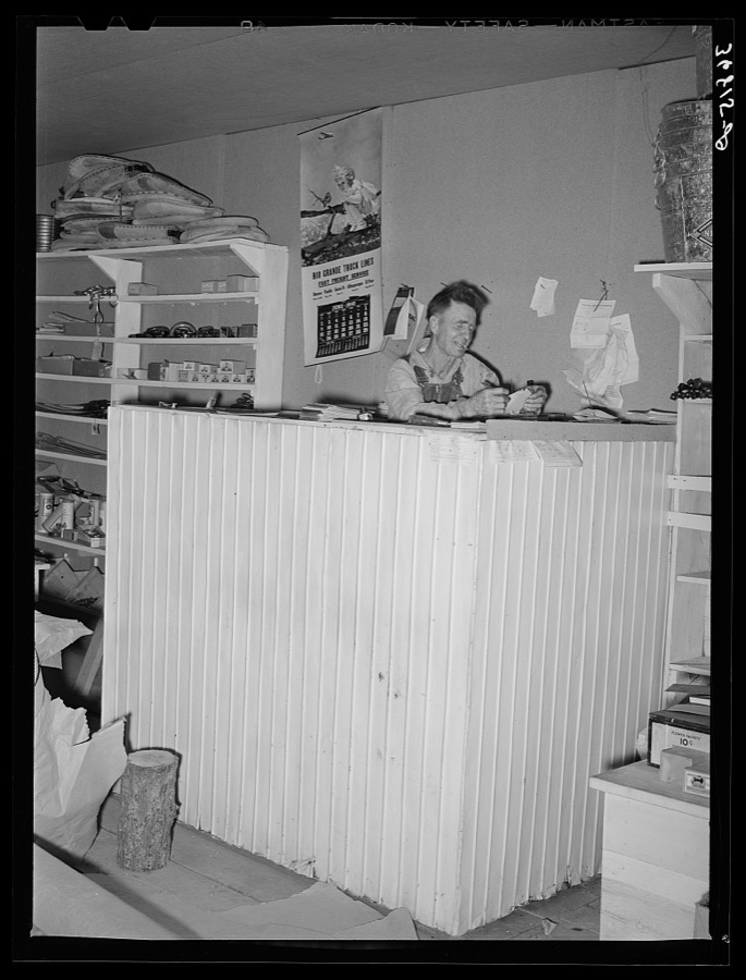
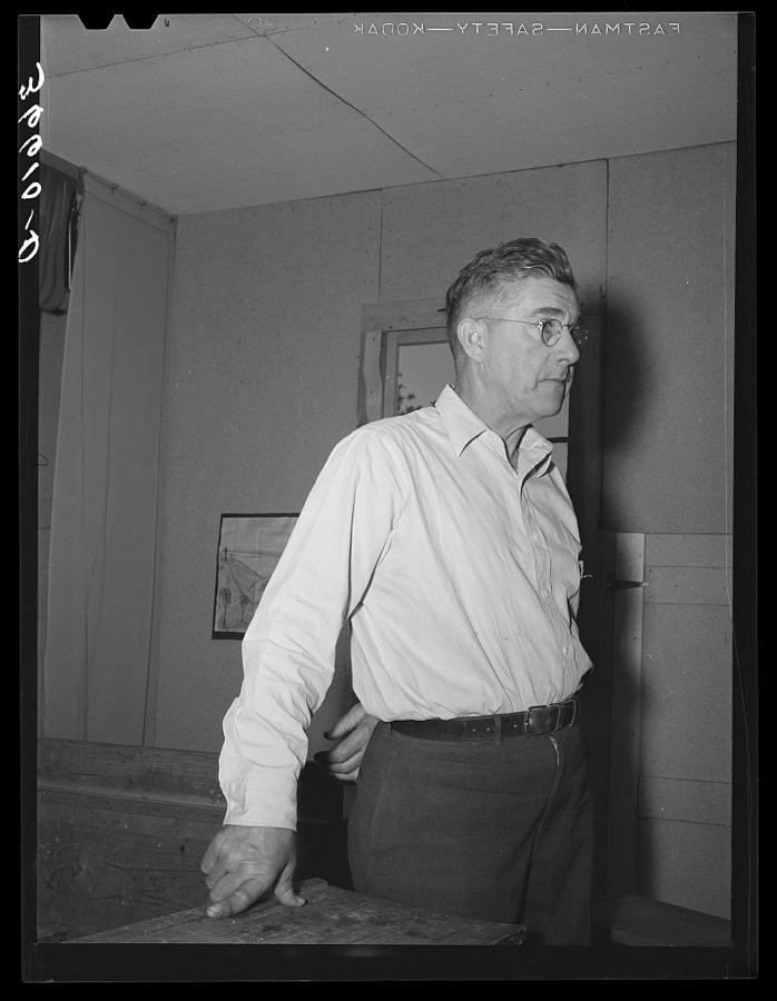
Taken for the Office of War Information and the Farm Security Administration, who photographed the country between 1935 and 1944. Works of United States government photographers, with no known restriction on use. Each opens its catalogue record.

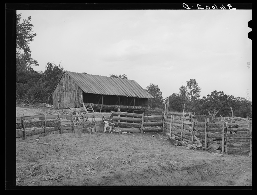
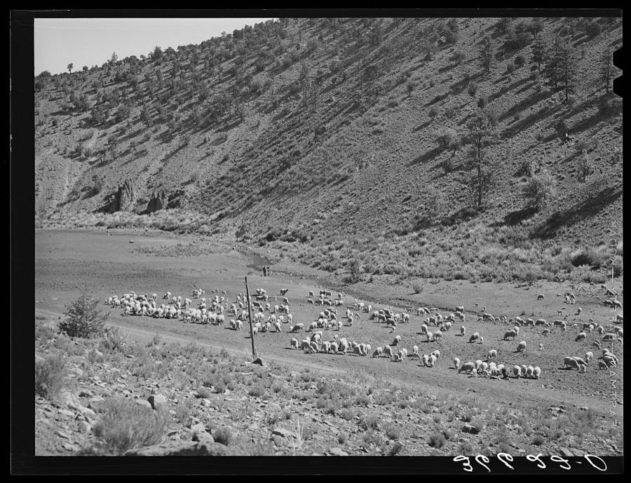
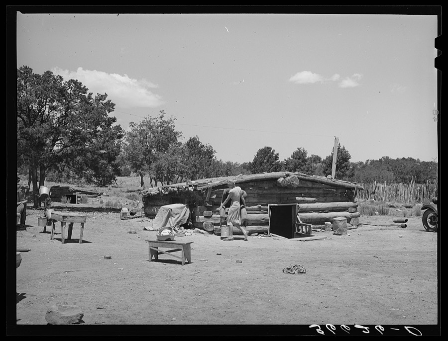

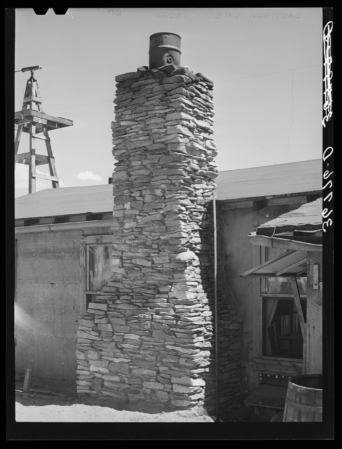

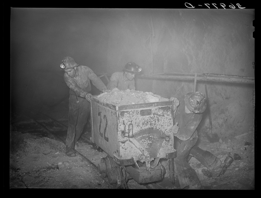
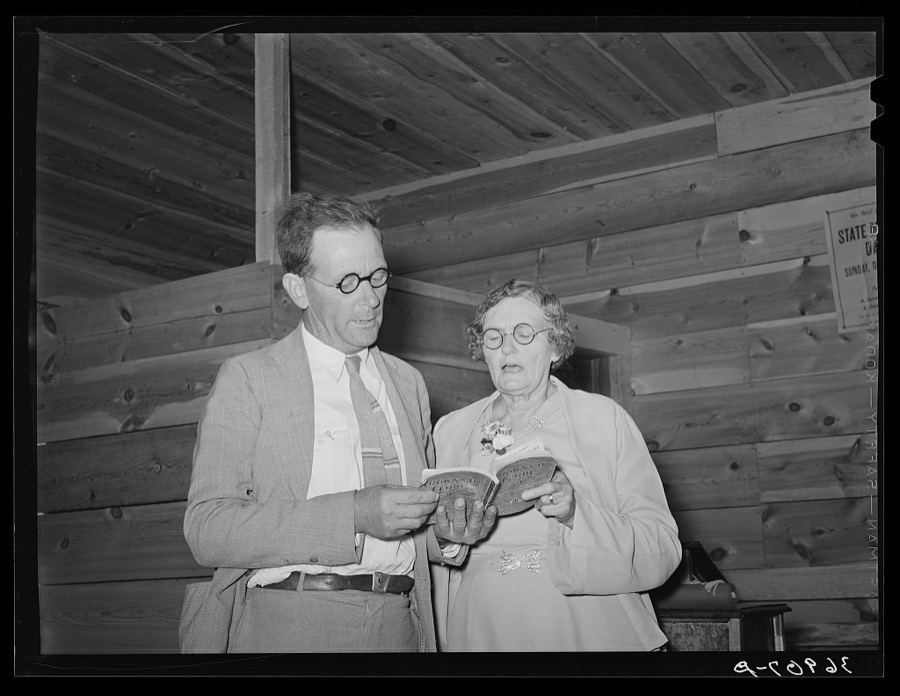
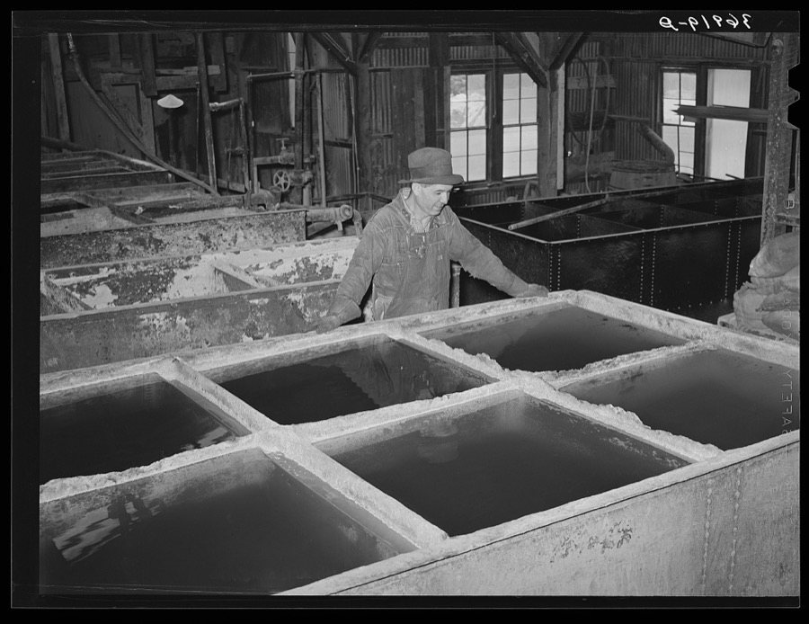
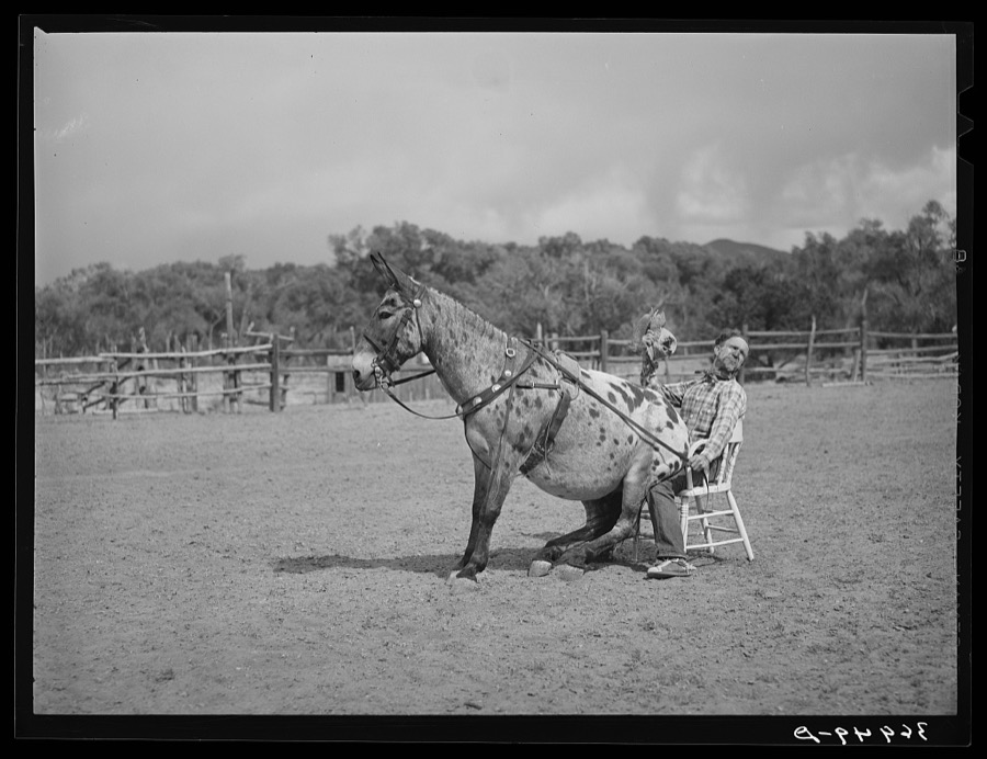
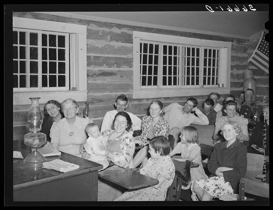
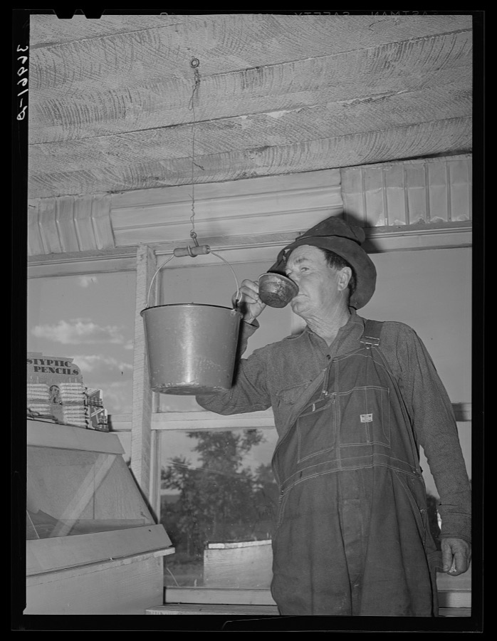
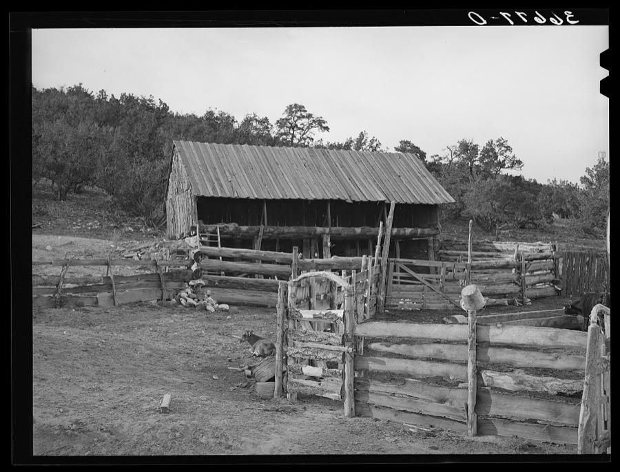
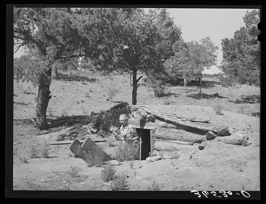
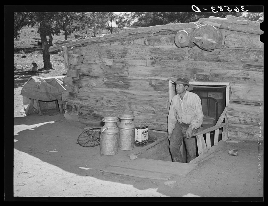
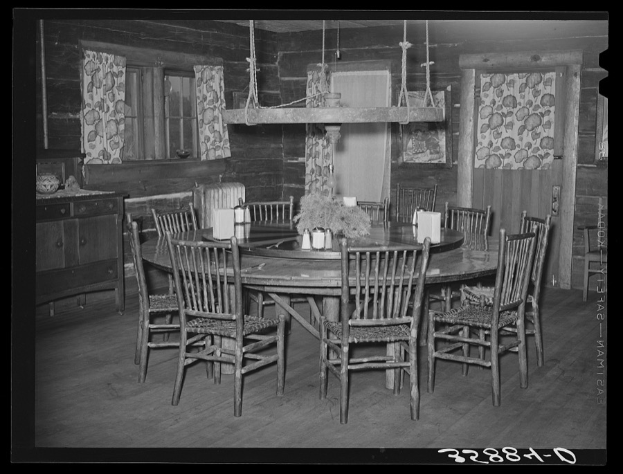
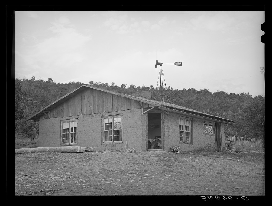
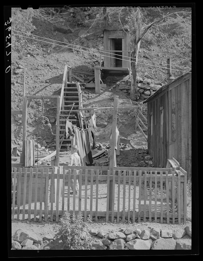
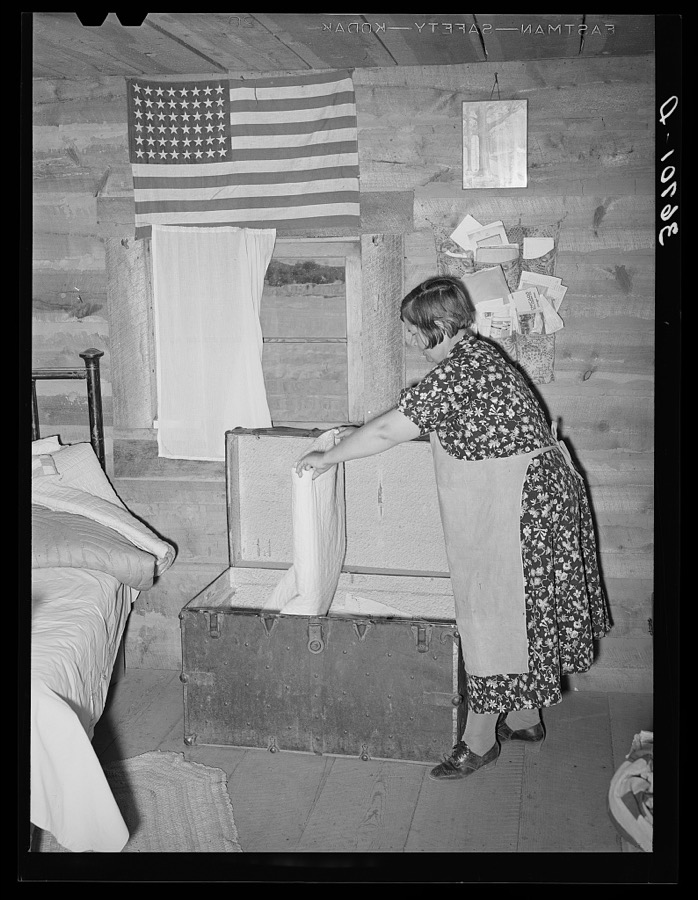

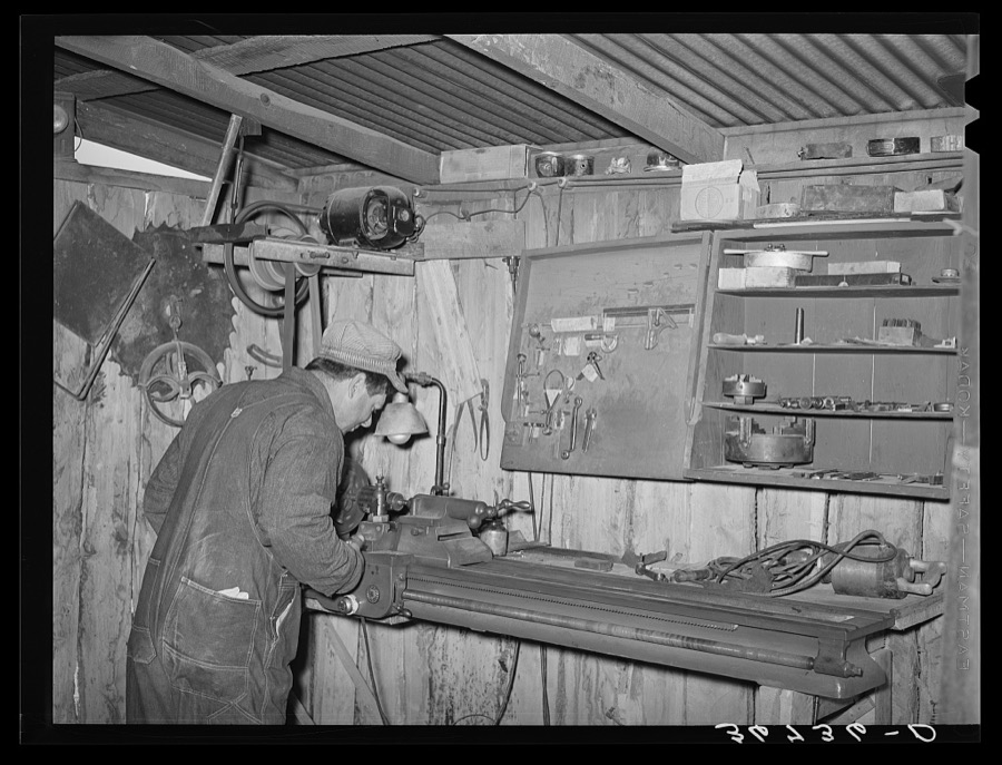
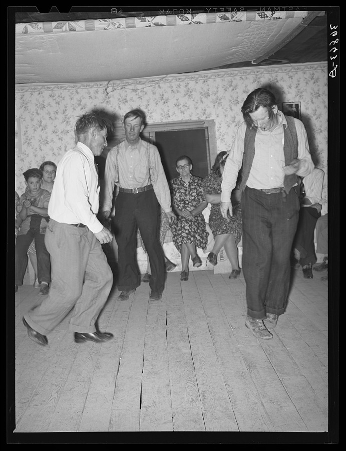
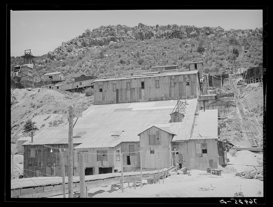
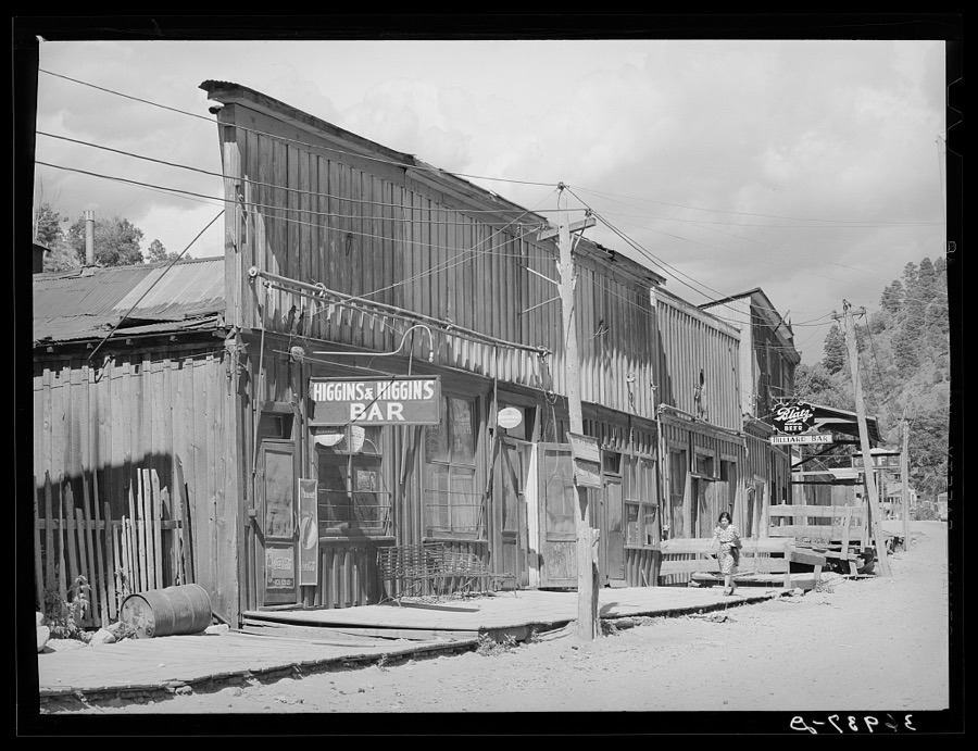
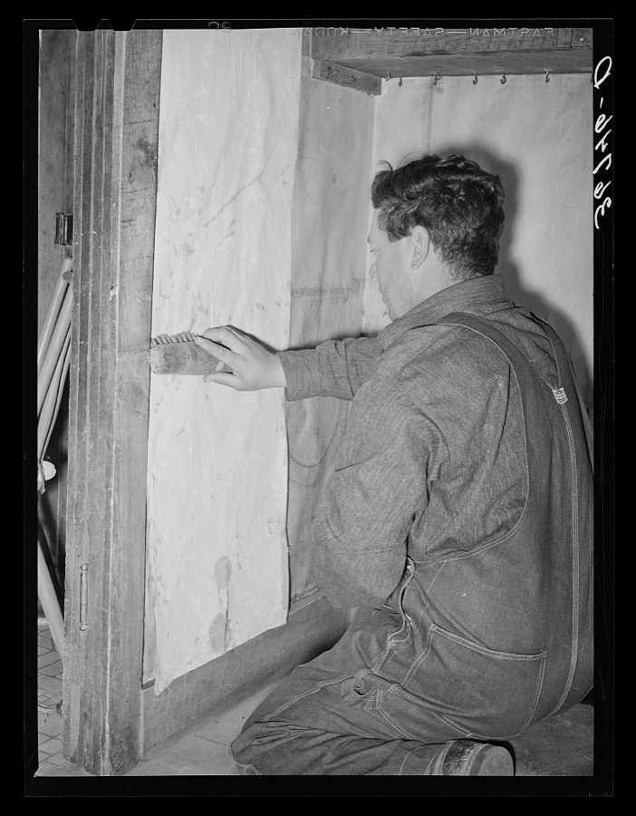
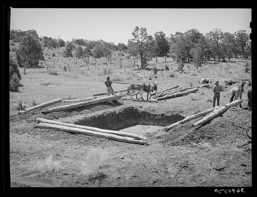
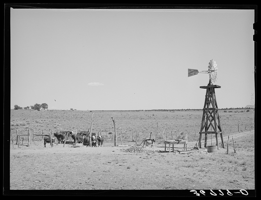
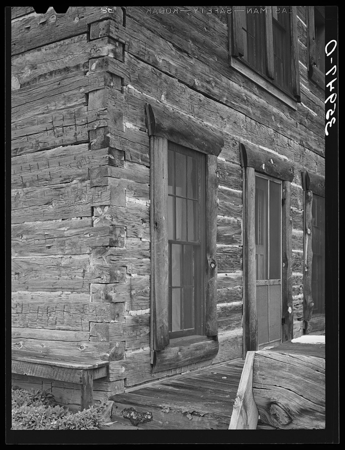
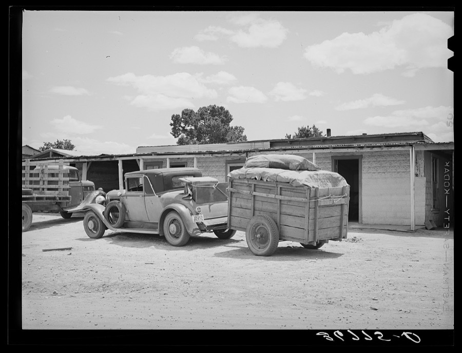
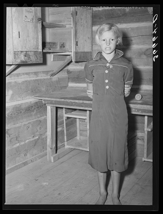
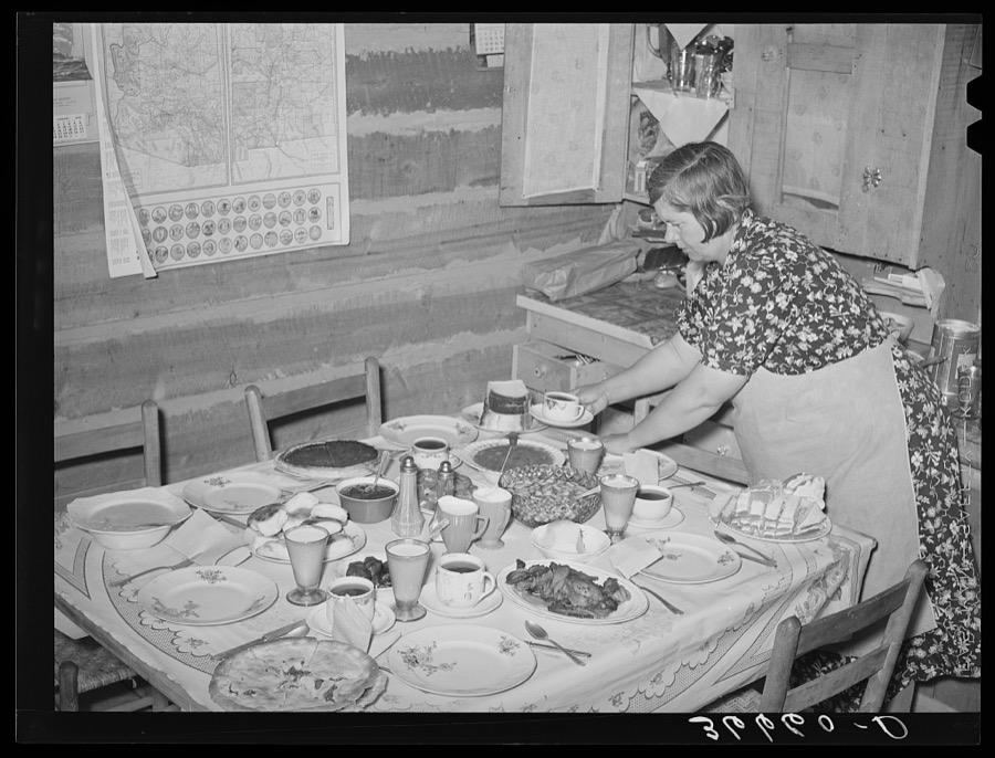
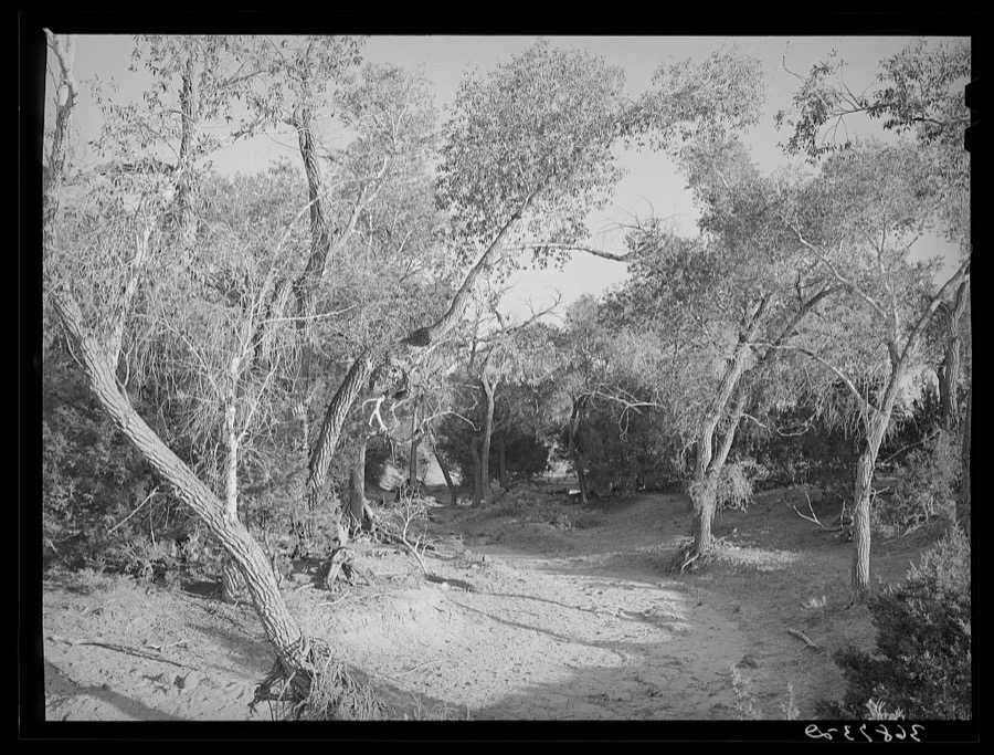

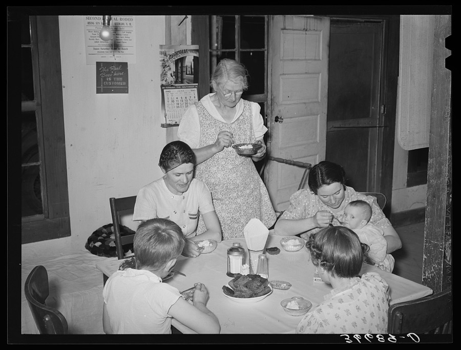

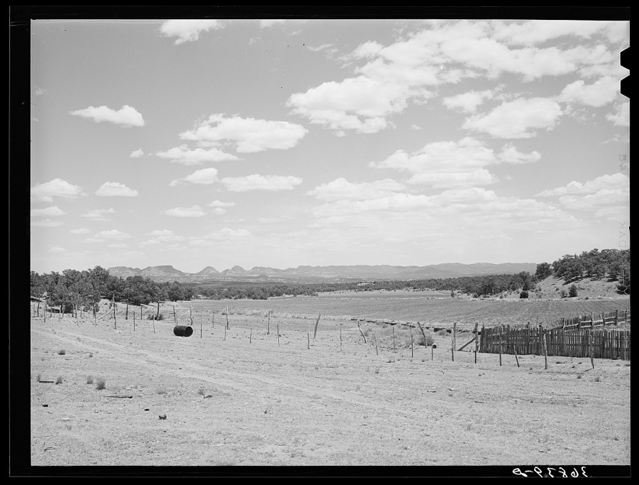
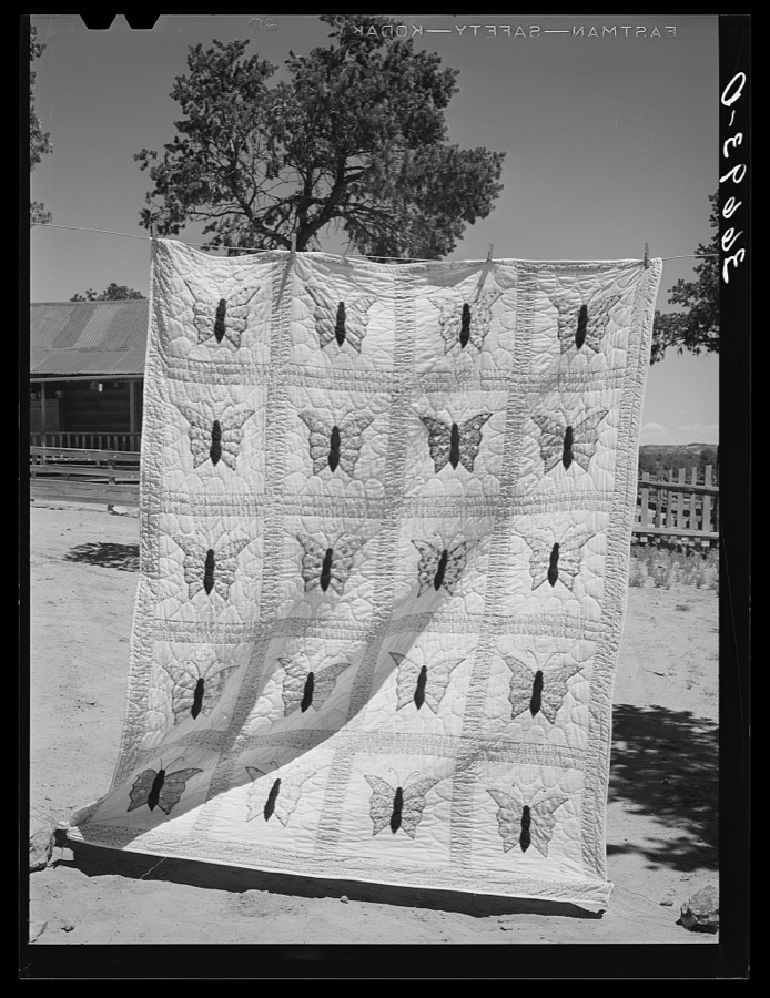
Every property in this county listed on the National Register of Historic Places, with the year it was listed and the federal nomination document.
| Photograph | Property | Type | Listed | Reference |
|---|---|---|---|---|
| Bearwallow Mountain Lookout Cabins and Shed | building | 1988 | 87002473 | |
| Black Mountain Lookout Cabin | building | 1988 | 87002474 | |
| El Caso Lookout Complex | structure | 1988 | 87002476 | |
| Mangas Mountain Lookout Complex | structure | 1988 | 87002471 | |
 | Mogollon Baldy Lookout Cabin | building | 1988 | 87002470 |
 | Mogollon Historic District | district | 1987 | 87001541 |
| Socorro Mines Mining Company Mill, Fannie Hill | district | 1987 | 87001567 |
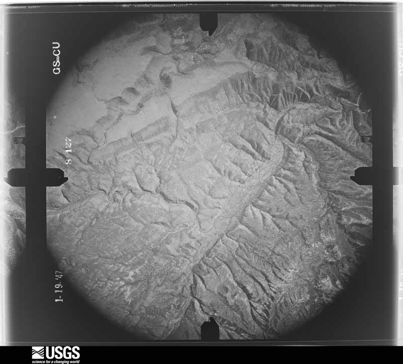
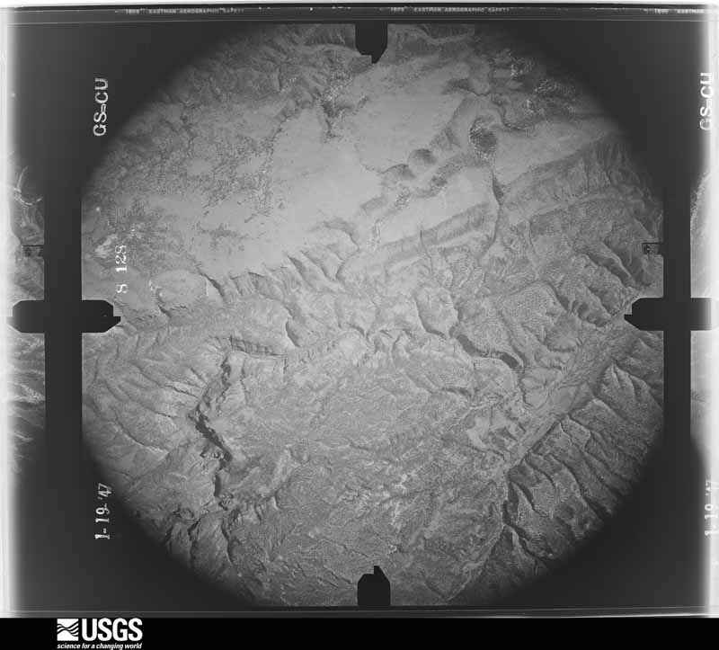
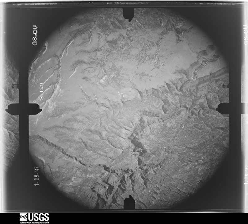
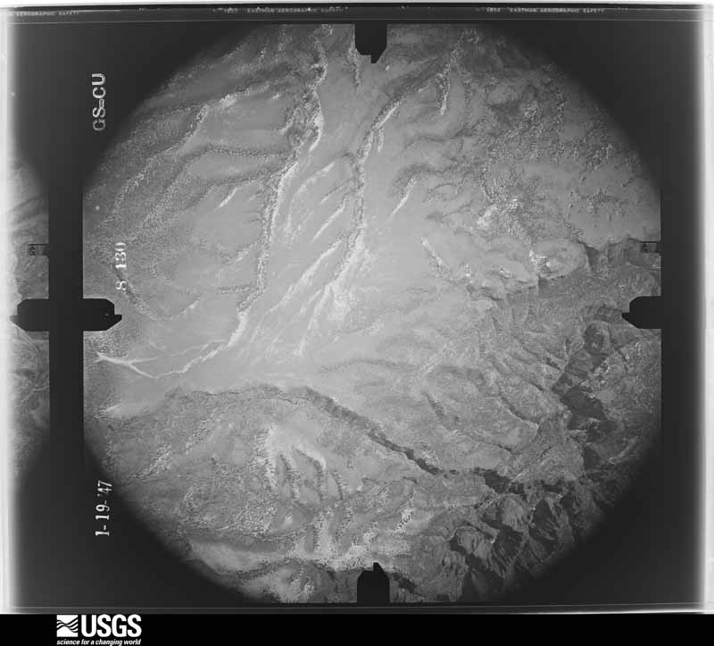
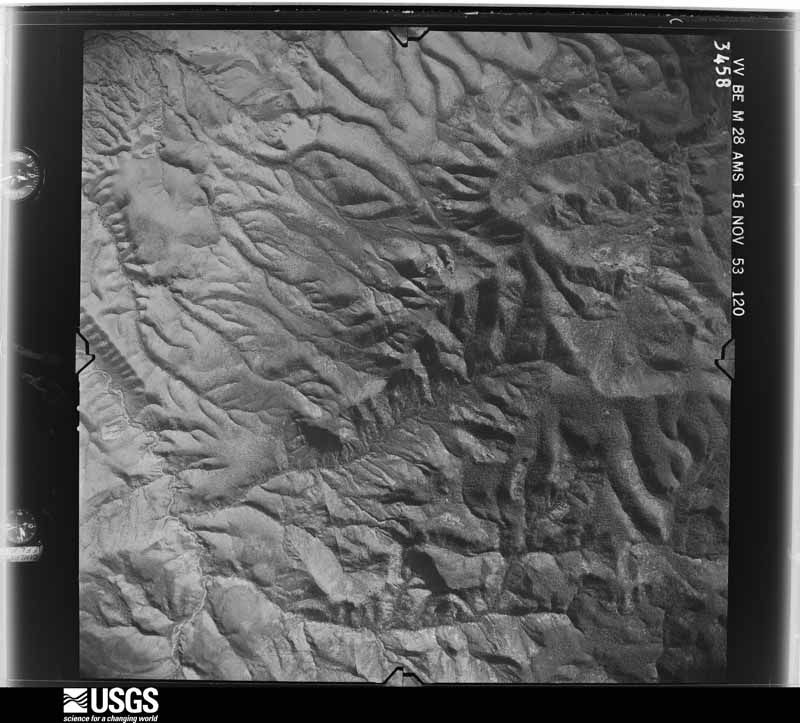
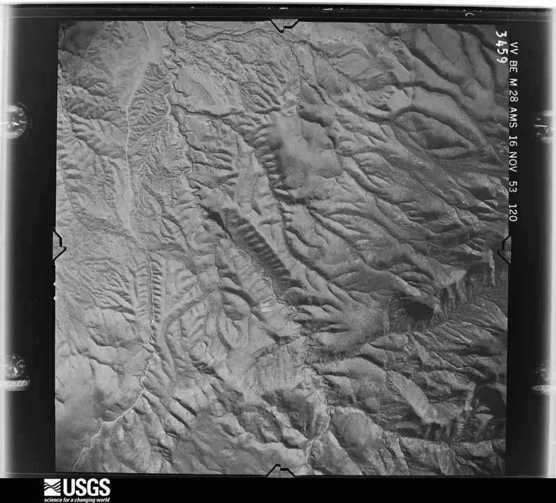
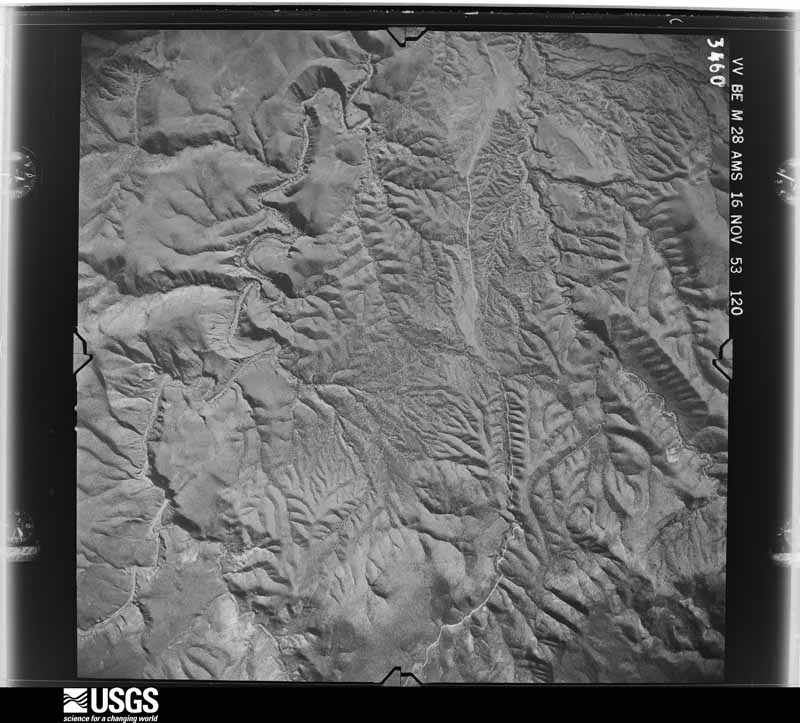
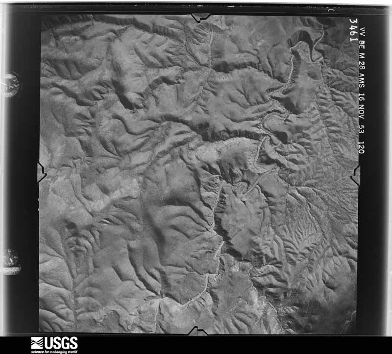
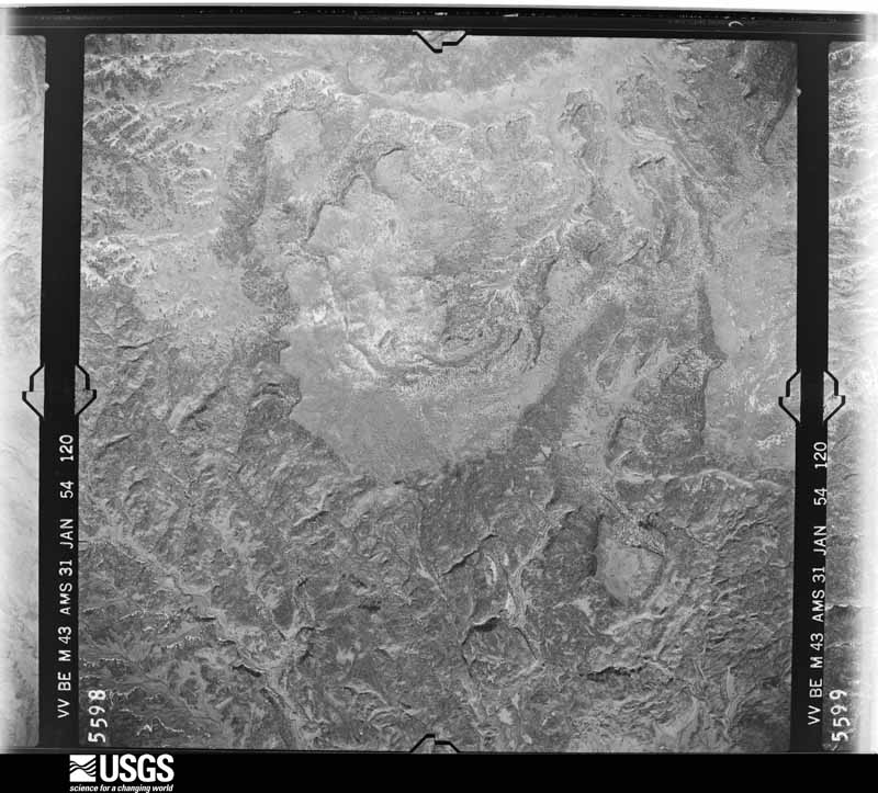
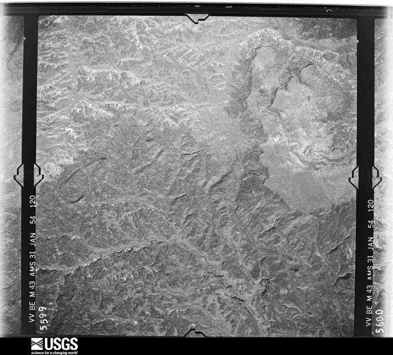
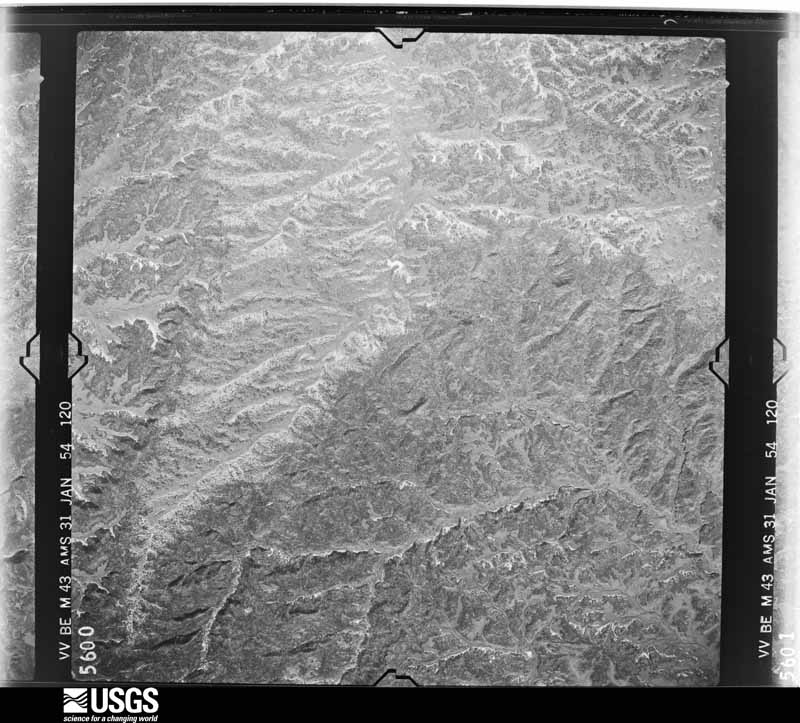
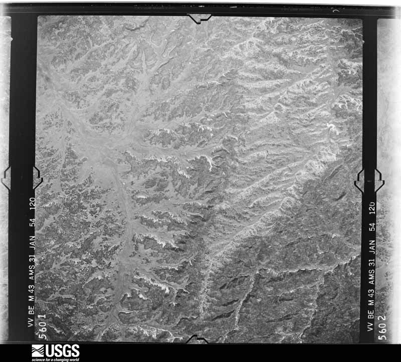
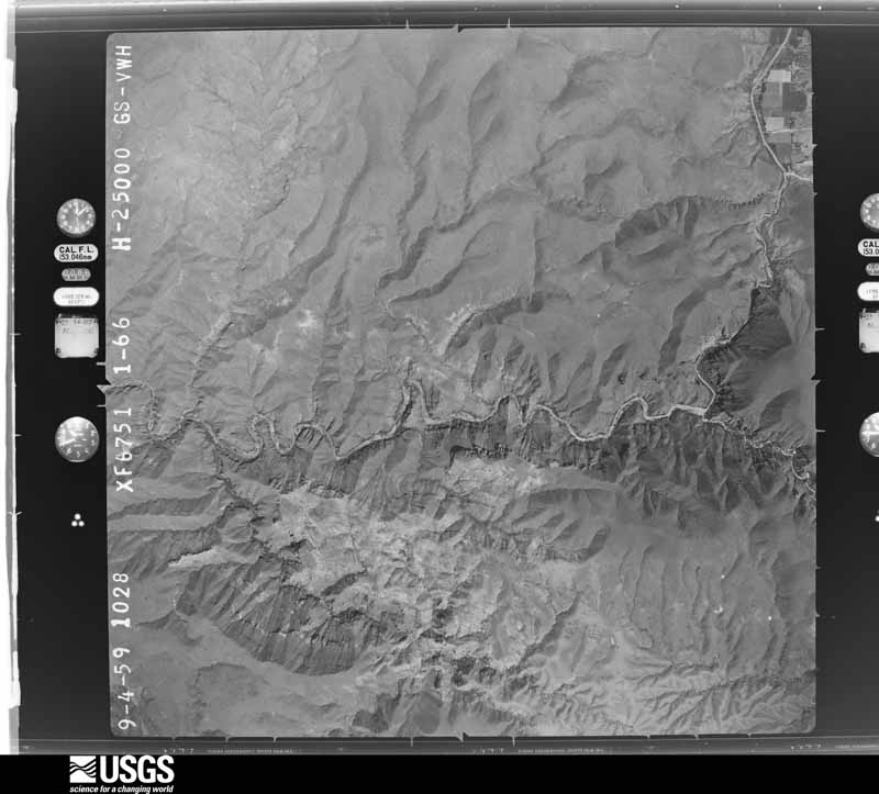
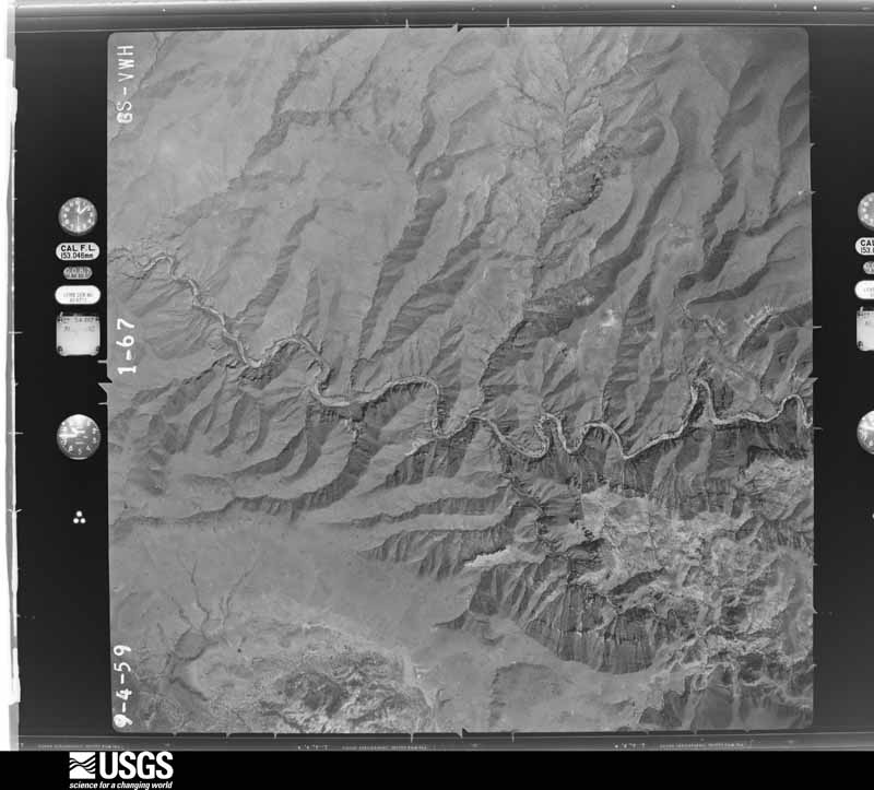
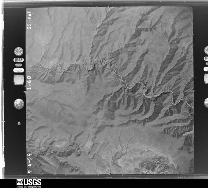
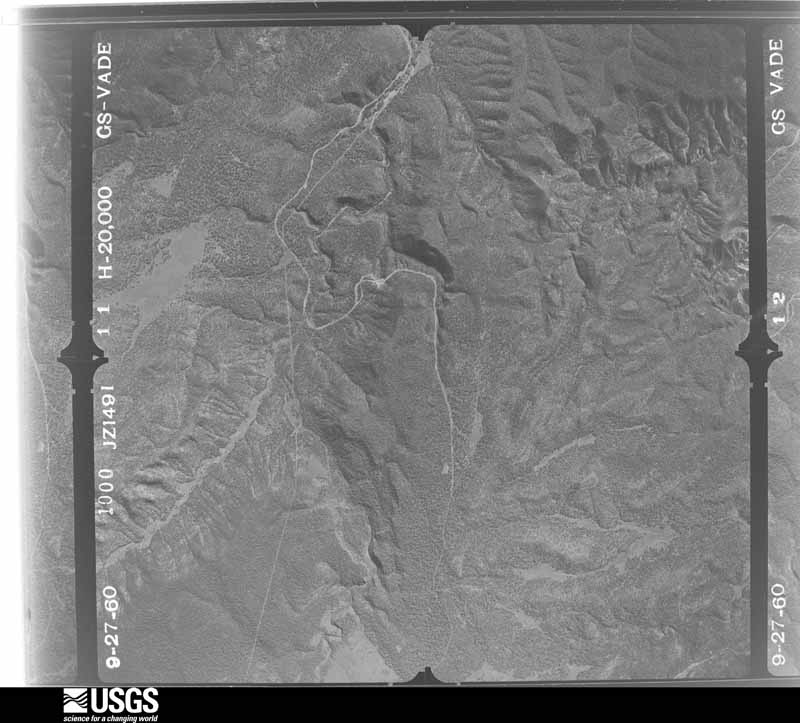
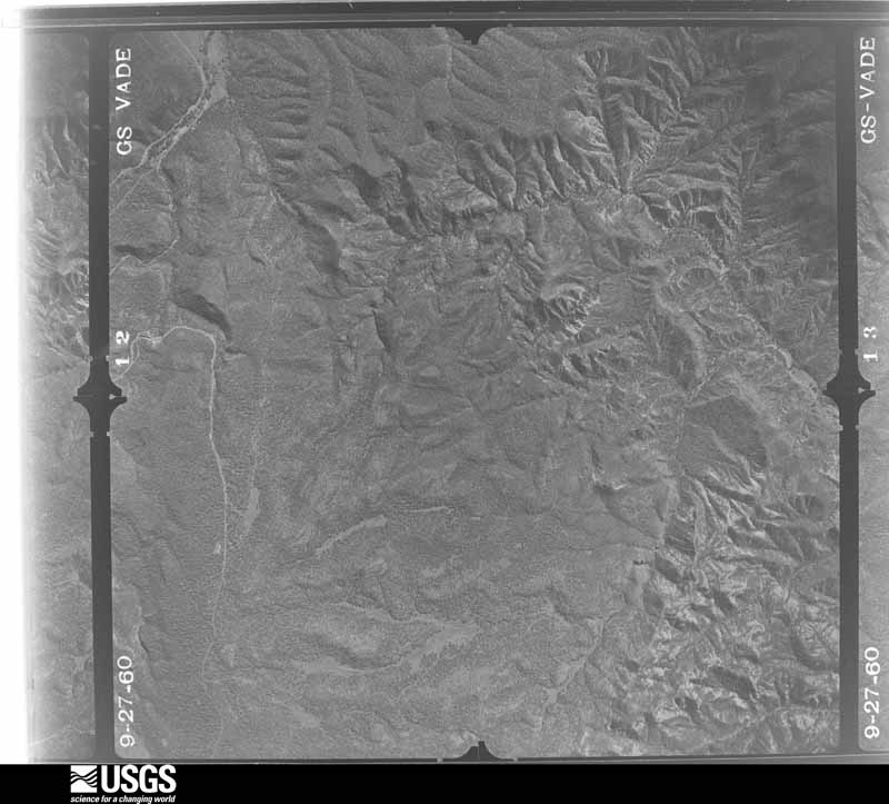
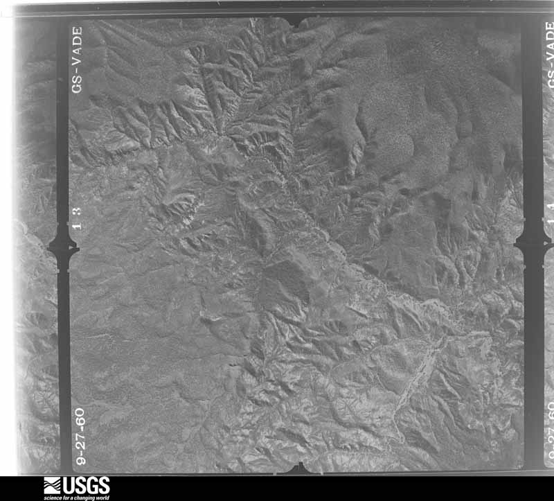
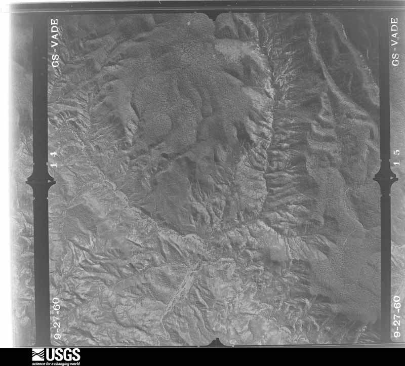
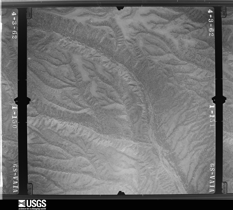
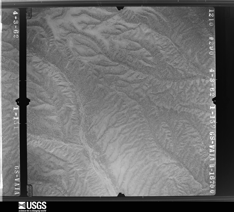
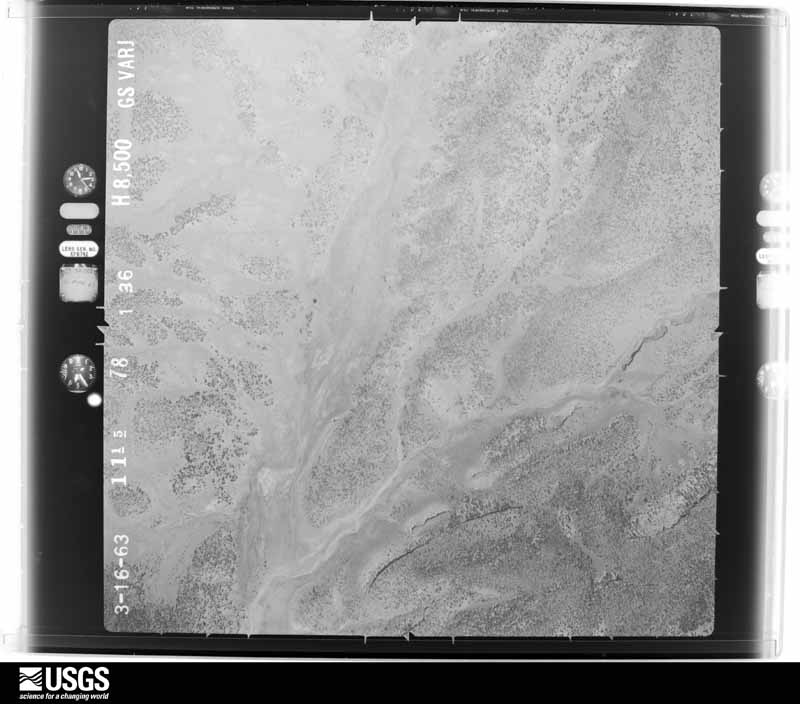
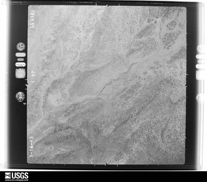
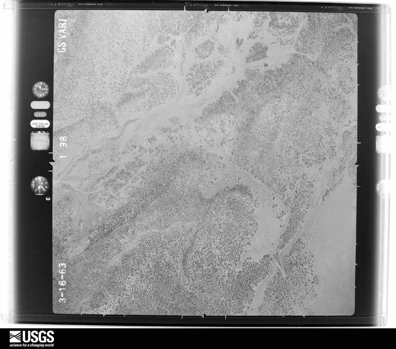
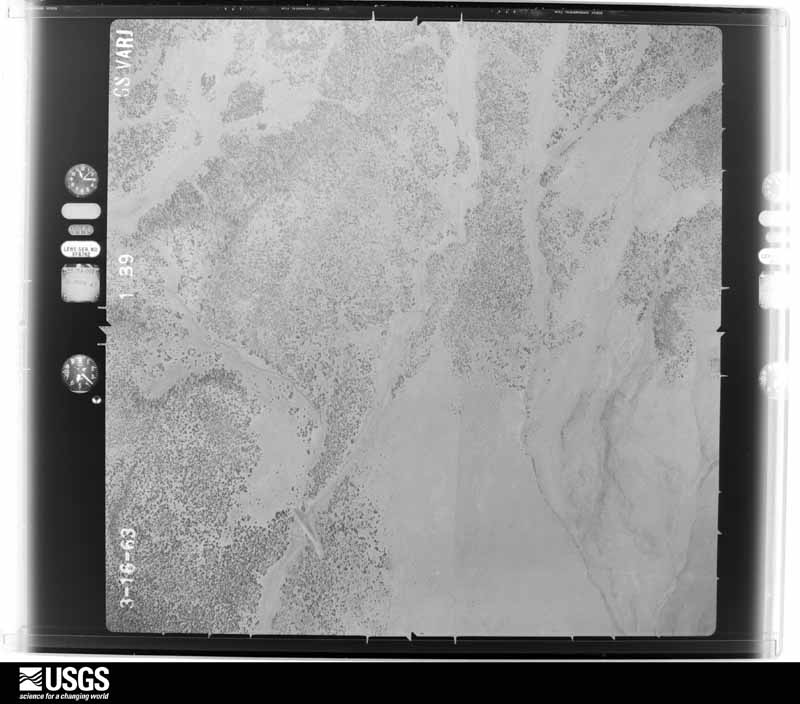
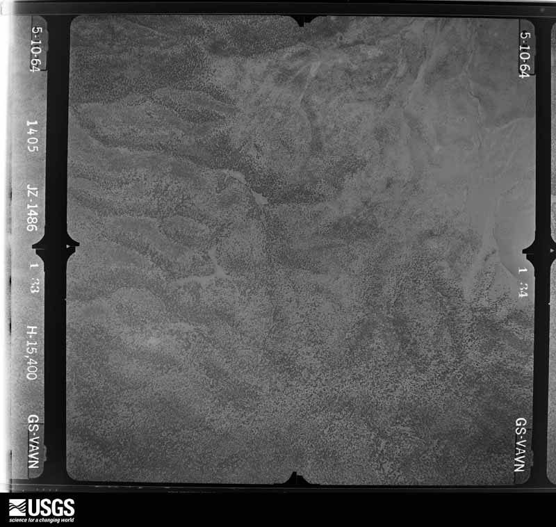
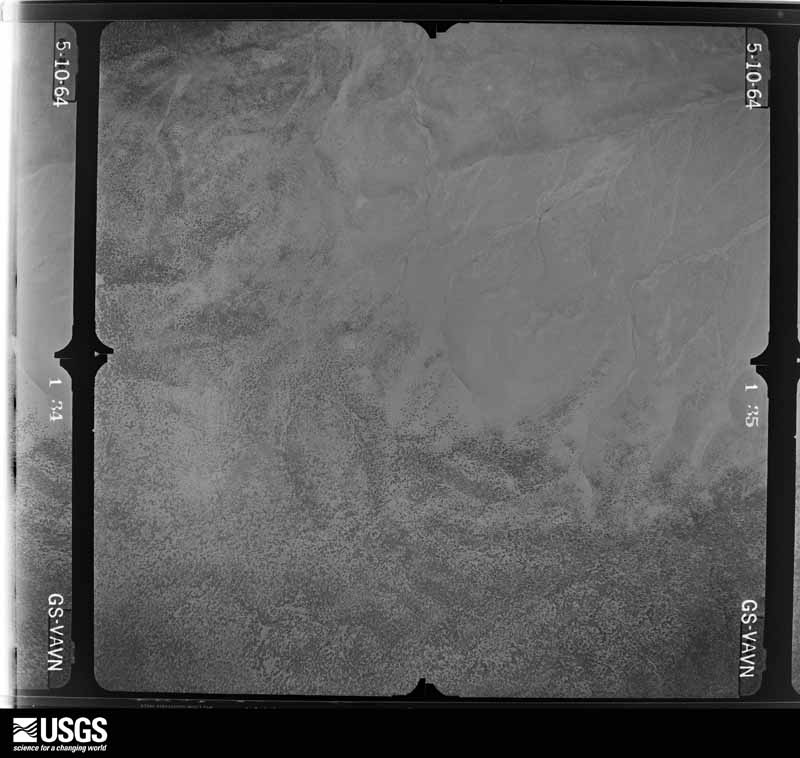
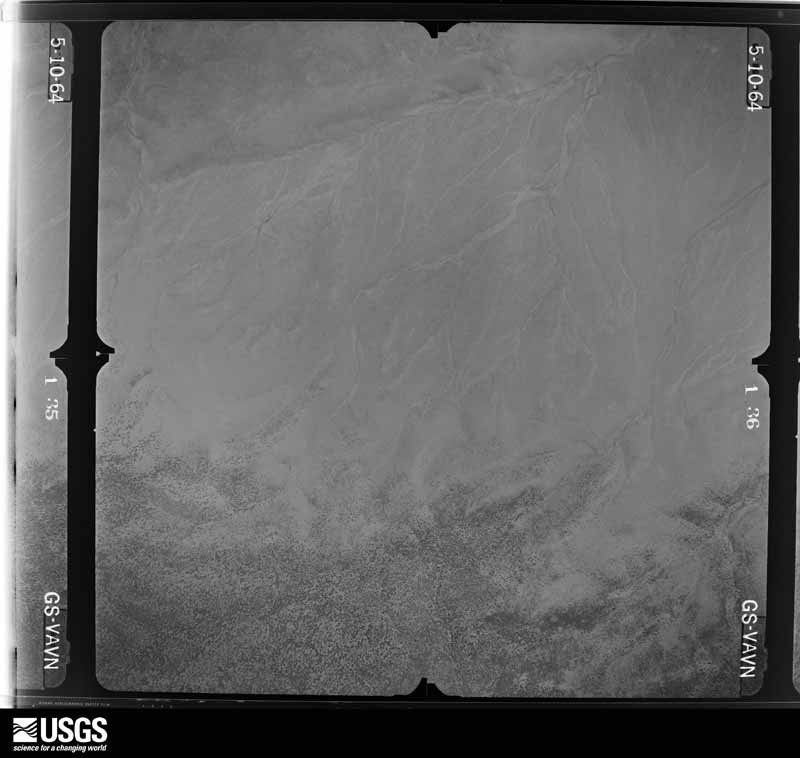
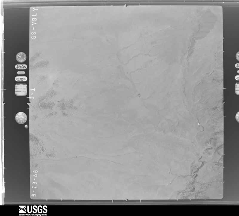
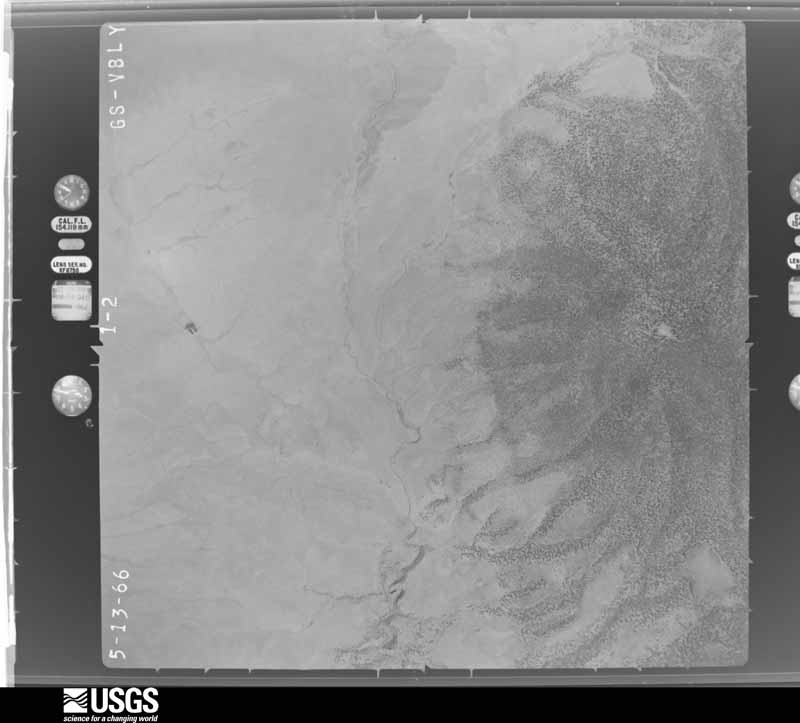
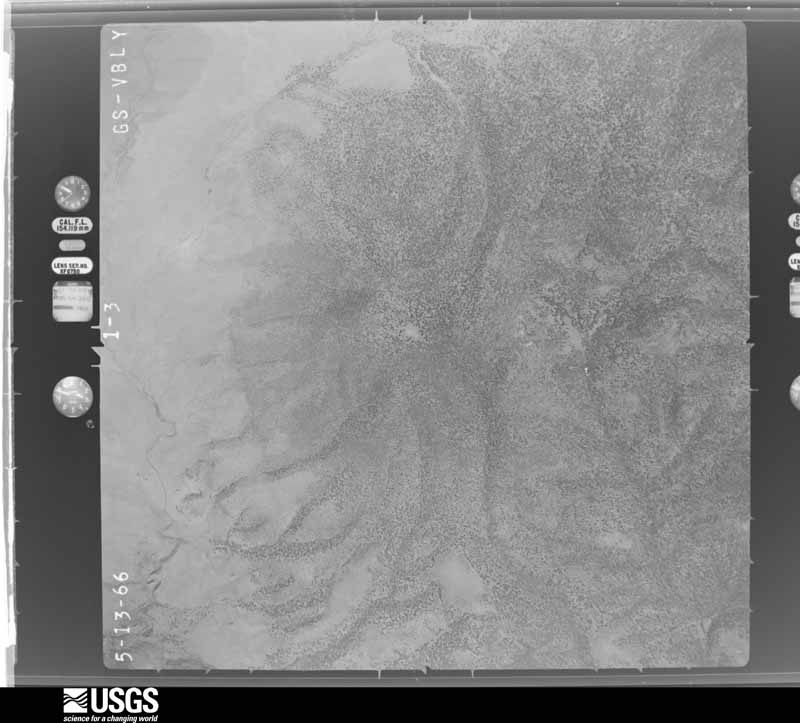
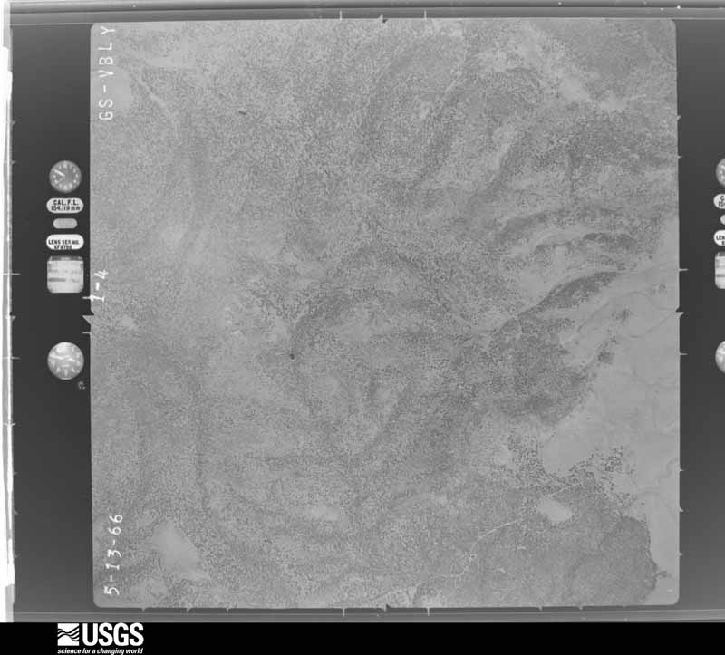
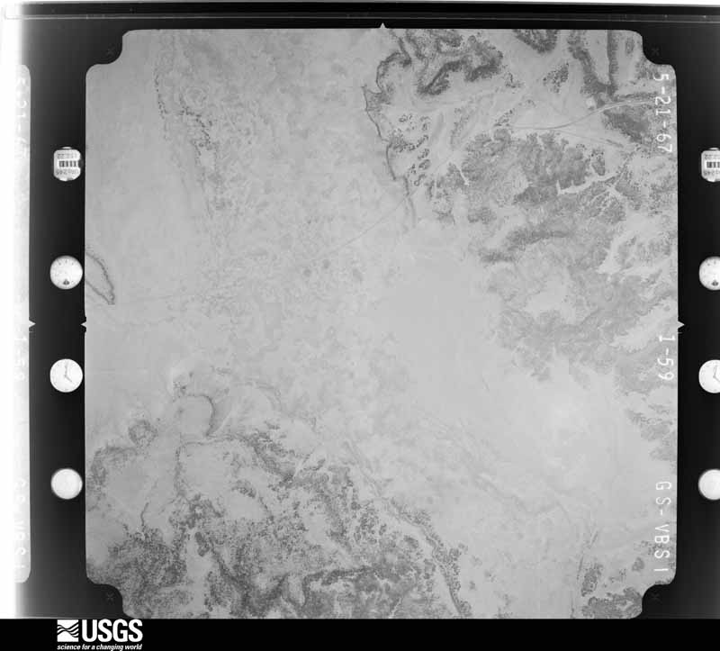
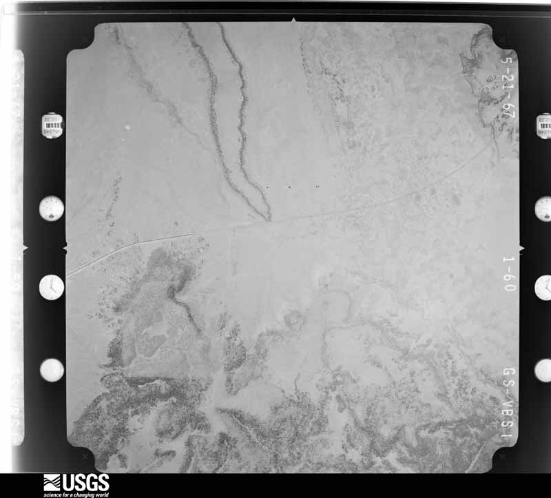
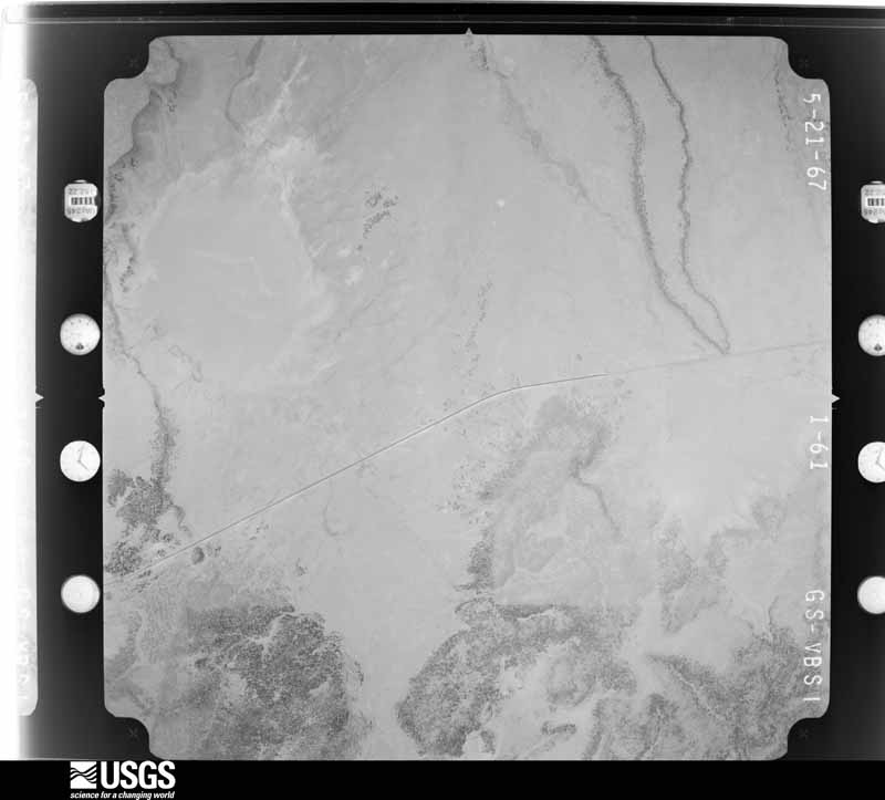
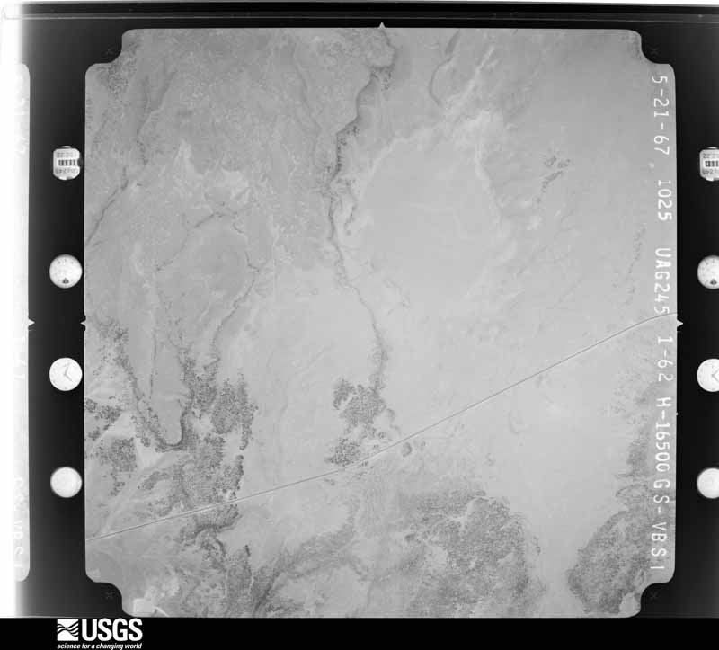
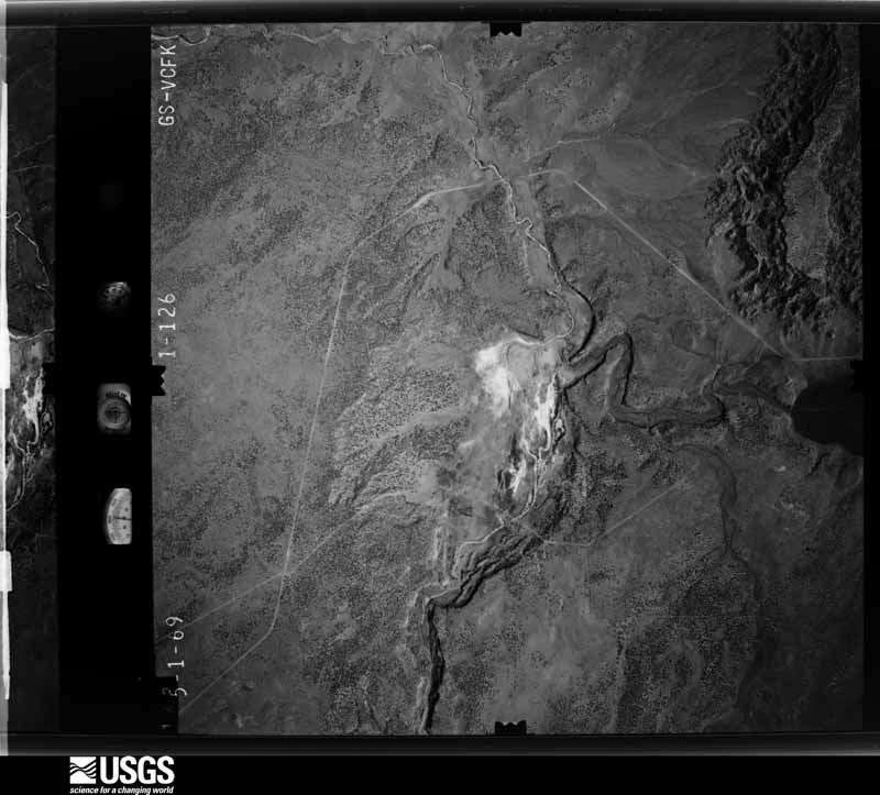
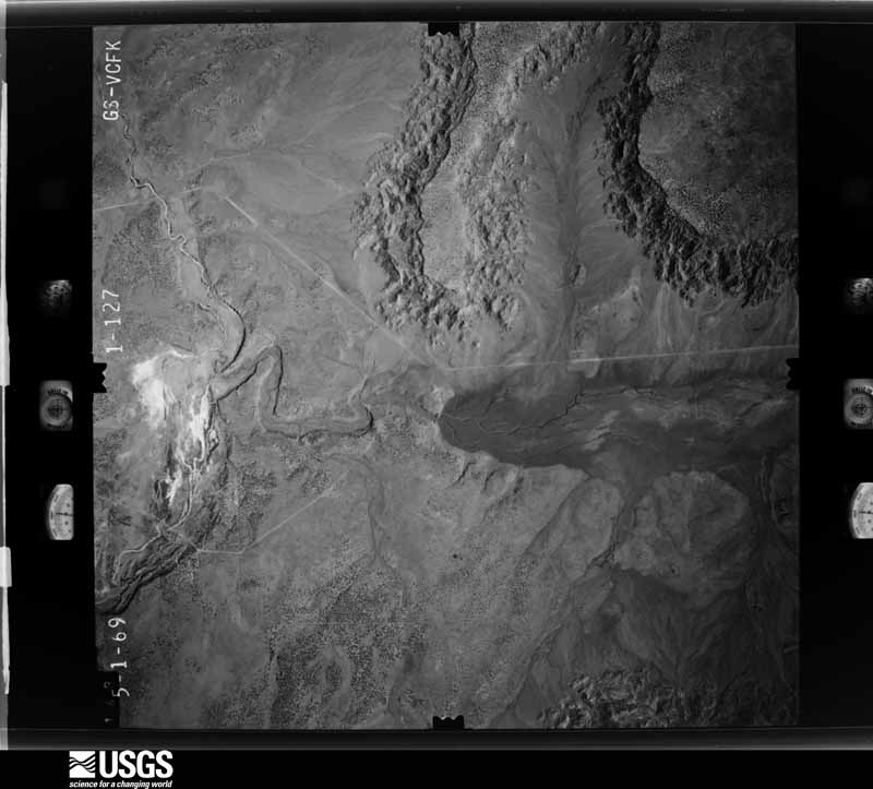
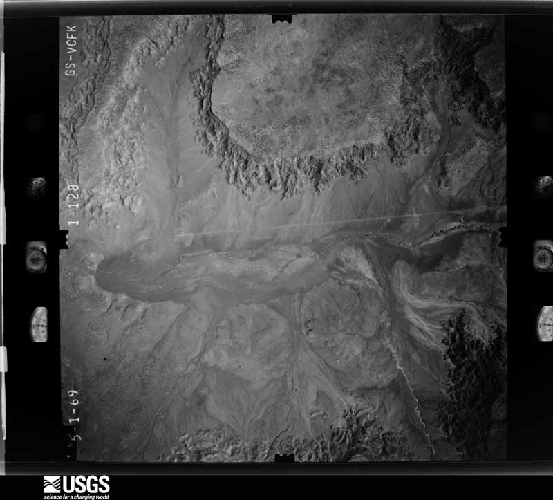
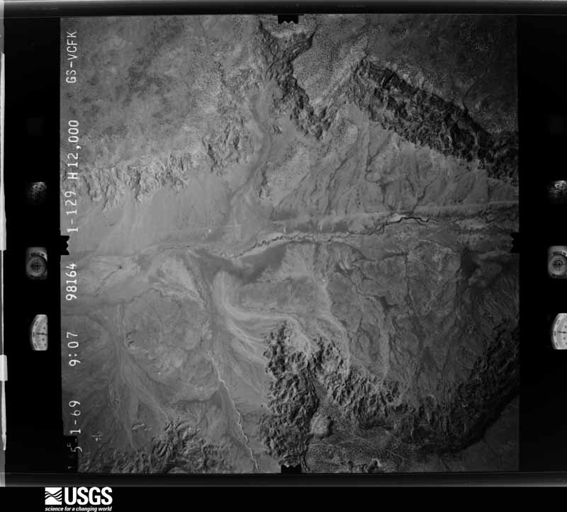
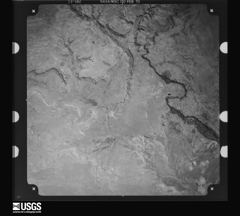
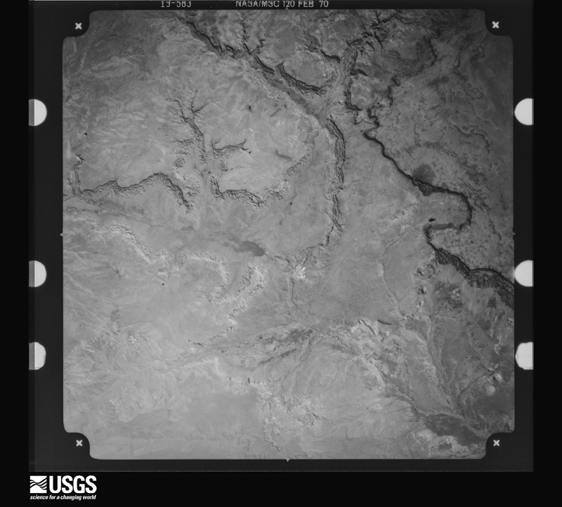
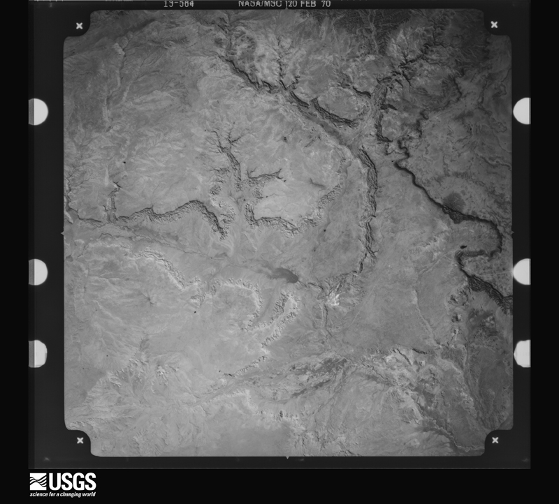
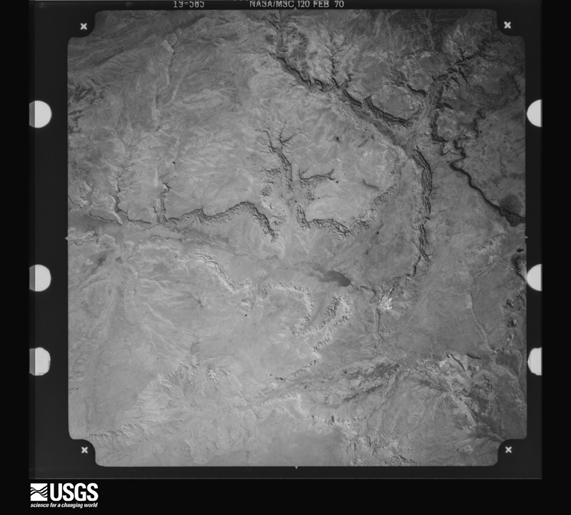
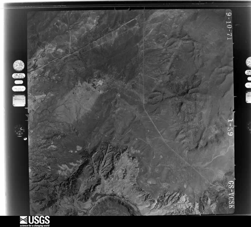
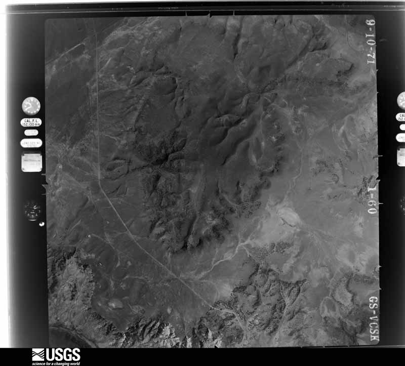
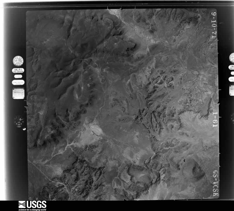
Flown by the U.S. Geological Survey between 1937 and 1989, the Aerial Photo Single Frames collection is the definitive mid-century view of the land: fields, roads and rivers as the camera saw them. The Survey holds 4,341 frames inside the rectangle that bounds this county; the 48 frames below were taken over the county itself, chosen across the decades of flights (at most four a year from that rectangle), so one flight cannot crowd out the rest. The full set is free to browse and download at EarthExplorer under the dataset Aerial Photo Single Frames.

The thermometers that kept this county's weather, and the gages that measured the flow of its streams, as the federal records hold them. The extremes below are measured values from those records, not estimates.
Who lived here in 1950, one enumeration district at a time, as the Census Bureau described each district. Each row opens its official National Archives result, with Population Schedules and ED Maps available there.
Every wildfire the federal occurrence database records inside this county: 3,974 of them, burning about 1,128,970 acres. 3,547 started naturally and 47 were recorded as arson. Each settlement page carries the fires within five miles of it.
| Reported cause | Fires |
|---|---|
| Natural | 3547 |
| Recreation and ceremony | 122 |
| Missing data/not specified/undetermined | 114 |
| Debris and open burning | 53 |
| Arson/incendiarism | 47 |
| Equipment and vehicle use | 41 |
| Smoking | 33 |
| Power generation/transmission/distribution | 7 |
| Other causes | 4 |
| Fireworks | 3 |
| Misuse of fire by a minor | 2 |
| Railroad operations and maintenance | 1 |
The five largest, by the area the report gives. None of them was recorded as arson.
| Date | Cause | Size | Reported by | Name on the report |
|---|---|---|---|---|
| 16 May 2012 | Natural | 297,845 acres | Gila National Forest | WHITEWATER-BALDY |
| 29 May 2005 | Natural | 77,000 acres | Gila National Forest | BULL |
| 19 June 2006 | Recreation and ceremony | 55,307 acres | Gila National Forest | BEAR |
| 22 May 2018 | Recreation and ceremony | 50,296 acres | Gila National Forest | BUZZARD |
| 31 March 2002 | Natural | 37,600 acres | New Mexico State Forestry Division | MIDDLE |
| 5 June 2000 | Natural | 32,860 acres | Socorro Field Office | CHANCE |
| 3 June 1992 | Natural | 29,000 acres | Gila National Forest | CREEL |
| 7 June 2003 | Natural | 27,600 acres | Gila National Forest | MOONSHINE |
Every settlement page carries the fires within five miles of it - see the settlement index below.
The NOAA Storm Events Database holds 68 reports for this county, causing 2 deaths, no injuries and about $3,700,000 in recorded property damage. Each settlement page carries the reports that name it.
| Kind of event | Reports |
|---|---|
| Flash Flood | 33 |
| Hail | 14 |
| Flood | 8 |
| Thunderstorm Wind | 5 |
| Heavy Rain | 4 |
| Funnel Cloud | 2 |
| Wildfire | 1 |
| Lightning | 1 |
The most serious of them, by death, then injury, then recorded damage. The accounts are quoted exactly as the forecast office filed them.
| When | Event | Place named | Harm | What the report says |
|---|---|---|---|---|
| September 2013 | Flash Flood | Mogollon | 1 killed, $1,500,000 | Portions of Bursum Road to the community of Mogollon was completely destroyed by flash flooding. All homes and business along the creek in Mogollon were flooded and damaged, many severely. Several vehicles were carried away, destroyed, and left in the bottom of the creek bed. The USFS delivered MREs, water, and sanitary supplies to Mogollon by foot and with 2 mules. An 83-year old Arizona man was found dead 8 miles downstream from where his vehicle was located and destroyed in Mineral Creek. |
| August 2009 | Lightning | Quemado | 1 killed, $1,000 | Harry Beggerly, 61, died near Quemado Lake from a lightning strike on the afternoon of August 30, while seeking shelter from the rain under a 30 foot tall tree. |
| September 2013 | Flash Flood | Pleasanton | $1,000,000 | State EOC Situation Report #10 detailed catastrophic flooding in the Glenwood area. Whitewater Creek topped the US 180 bridge at Pleasanton. The San Francisco River at Glenwood rose to its 2nd highest crest ever observed at 29,900 cfs (18.7 feet) at 2am then fell sharply around sunrise. A flash flood emergency was posted for Glenwood. A levee at Circle Drive in Glenwood was breached flooding 16 residences with about 3 feet of water. A large metal barn was moved into the river bed. |
| September 2013 | Flash Flood | Glenwood Catron Co A | $250,000 | The Catwalk area northeast of Glenwood was completely destroyed. Whitewater Creek at the Catwalk measured a peak flow of 16,100 cfs (19.07 feet) at 1115pm on the 14th which was 5 to 6 times higher than any other flow ever observed. The suspended portion of the Catwalk area within the canyon was washed out. A 30 feet section of a concrete girder bridge was destroyed. The campground was completely covered in silt with minor damage. Trails within the park were destroyed. |
| July 2021 | Flash Flood | Apache Crk Jewett Ar | $150,000 | Heavy rain resulted in significant flash flooding near Apache Creek. The fast moving flood waters rushed through at least one home and overtopped an earthen dam. A metal tank was swept downstream, and a truck in the Apache Creek was submerged in the water. Damages are estimated. |
| August 1998 | Flash Flood | Reserve | $150,000 | Heavy damage was reported at the Catron County Fairgrounds following torrential rain of 2.5 inches in about an hour. Early warnings from the National Weather Service allowed county officials to evacuate 6 homes well ahead of the water and debris flow. Unusual for western New Mexico, this severe storm also produced large hail. |
| July 2021 | Flash Flood | Horse Spgs | $100,000 | The Catron County emergency manager reported that heavy rain in Old Horse Springs resulted in flash flooding across the area. A local resident measured 3.5 inches of rain in just 45 minutes. This resulted in multiple barns and homes in the area flooded as well as the local fire department. The emergency manager also reported that several county roads had been washed away. Damages are estimated. |
| September 2013 | Flood | Reserve Arpt | $100,000 | State EOC Situation Report #9 detailed that the San Francisco River breached its banks and levees at Reserve, Elm, and Glenwood. Power outages occurred in the community of Wild Horse. 18 hunters were evacuated and another 18 hunters were stranded near the San Francisco River. An elk fence was washed away and nearby fields flooded at Alma. |
| June 2024 | Thunderstorm Wind | Quemado | $75,000 | Severe thunderstorm winds destroyed two out-buildings, one large wooden barn and one steel metal shop in Quemado, NM. The steel building ended up landing on top of the neighbors residence and caused significant damage to the structure. There were no reports of injuries. |
| September 2013 | Flash Flood | Alma | $60,000 | Mineral Creek measured a peak flow of 868 cfs (4.39 feet) at 145am on the 15th which was 7 to 8 times higher than any other flow ever observed. US 180 closed due to water from Mineral Creek flooding roadway. NM 159 closed east of US 180 as well. Water in several homes in Alma. |
| July 2018 | Flash Flood | Reserve | $50,000 | Torrential rainfall forced mud, rocks, and debris across roadways. Law enforcement reported damage to dirt roads with significant erosion in the area. Damage amounts are a very rough estimate. |
| September 2013 | Flood | Aragon | $50,000 | Flooding along Tularosa Creek and nearby arroyos lead to flooding on Tularosa River. |
| September 2013 | Flood | Pietown | $50,000 | Numerous roads washed out across northeastern Catron County including York Ranch Road. |
| January 2008 | Flood | Reserve Negrito Arpt | $25,000 | Heavy rain on January 27th caused the West Fork of the Gila River to leave its banks and severely damage a bridge on state highway 15 near the Gila cliff dwellings. |
| July 2008 | Flash Flood | Quemado Arpt | $25,000 | Highway 60 was flooded at mile marker 31 and State Road 601 was flooded between mile markers 2 and 4. One house was flooded in Quemado. |
| September 2021 | Flash Flood | Reserve Negrito Arpt | $20,000 | Heavy rain in the Gila Cliff Dwellings flooded many creeks, canyons, and trails in the National Monument. Water overtook a bridge as debris clogged the canyon underneath which stranded visitors for a short time. Damages are estimated. |
| September 2013 | Flood | Tres Lagunas | $20,000 | A creek overflowed its banks into nearby ranch buildings northeast of Pietown. |
| July 2008 | Flash Flood | Quemado | $15,000 | State road 601 was closed due to flooding from 2 to 5 miles northwest of U.S. 60. |
| August 2016 | Flash Flood | Glenwood | $10,000 | High water forced rocks, mud, and debris over Catwalk Road near Glenwood. Mineral Creek road was washed out east of Alma. |
| July 2014 | Flash Flood | Horse Spgs | $10,000 | At least two roads were washed out near Beaverhead from heavy rainfall. Damage estimated for repairs. |
| August 2012 | Flash Flood | Mogollon | $10,000 | Eight feet flow of water within Silver Creek washed debris over Highway 159 and surrounding bridges and yards. |
| January 2008 | Flash Flood | Glenwood | $10,000 | The ranger station in Glenwood reported Whitewater Creek and Little Creek were out of their banks. Water over state road 174 from Glenwood to Catwalk, and was 3 feet deep in one spot. White Water and Crabapple motels were flooded. |
| July 2016 | Flash Flood | Reserve Negrito Arpt | $5,000 | Torrential rainfall created flash flooding within Bell and Kennedy canyons west of the Beaverhead Ranger Station. Roads in the area were damaged due to high flows in ditches and arroyos. Low lying areas filled up with significant amounts of standing water. The ranger station reported 1.31 inches of rainfall however much higher amounts were likely within the canyons west of the area. |
| August 2013 | Flash Flood | Alma | $5,000 | Flash flooding in Vigil Canyon near Alma was reported by two rangers that were trapped and nearly carried away by flood waters. Flood debris was reported 15 feet in depth within the canyon. Some elk fences were destroyed and several mobile home trailers were briefly endangered. |
| January 2010 | Flood | Reserve Negrito Arpt | $5,000 | Over 2 inches of rain combined with some snow melt resulted in flooding along State Highway 15. The approach to the West Fork Bridge was washed out when the West Fork of the Gila River rose out of its banks. State Highway 15 was closed between the Gila Cliff Dwellings Visitor Center and the trail head for the Gila Cliff Dwellings National Monument. |
| September 1999 | Hail | Datil | $3,000 | Guests from Eagle Ranch reported hail that dented several cars. |
| July 2011 | Flash Flood | Luna | $1,000 | An unnamed arroyo feeding into the San Francisco River became flooded near the Luna Post Office. The water was at least four feet high and washed away the porch steps of a nearby mobile home. The headwaters of the arroyo are located northwest of town, within the Wallow Fire burn scar. |
| July 2022 | Thunderstorm Wind | Red Hill | - | An estimated 60 mph thunderstorm gust was observed near Red Hill likely from strong downburst winds. |
| June 2022 | Thunderstorm Wind | Horse Spgs | - | A mesonet station near Old Horse Springs measured a 64 mph wind gust from strong downburst winds from nearby shower activity. |
| May 2018 | Hail | Datil | - | Nickel size hail in Datil. |
| May 2018 | Hail | Datil | - | Hail up to the size of pennies a few miles northwest of Datil. |
| May 2018 | Funnel Cloud | Datil | - | Local media shared imagery of a funnel cloud near Datil on Twitter. |
| July 2017 | Flash Flood | Glenwood | - | Whitewater Creek flooded Catwalk Road and U.S. Highway 180 at Glenwood. Road closed. |
| May 2016 | Hail | Pleasanton | - | Penny size hail in Pleasanton. |
| May 2016 | Funnel Cloud | Datil | - | Funnel cloud spotted with weak thunderstorm 5 to 6 miles southeast of Datil. |
| December 2016 | Heavy Rain | Reserve Negrito Arpt | - | Various observers, automated gages, and broadcast media indicated heavy rainfall with significant impacts around southwest Catron County. Rainfall amounts averaged 2 to 3 inches in the Mogollon Mountains and Gila River watershed. Low water crossings near the Catwalk were flooded and closed. A group of hikers were stranded by the Gila River and lifted to safety by rescue teams. No injuries, fatalities, or significant damages occurred. |
| September 2016 | Heavy Rain | Mogollon | - | The Hummingbird Saddle rain gage reported 3.93 inches of rainfall from the remnants of Hurricane Newton. No flooding was observed. |
| September 2016 | Heavy Rain | Pleasanton | - | Pleasanton recorded 3.50 inches of rainfall from the remnants of Hurricane Newton. No significant flooding was reported in nearby creeks and streams. |
| January 2015 | Heavy Rain | Glenwood Catron Co A | - | Heavy rain within the headwaters of Whitewater Creek produced high flows along Catwalk Road. Several feet of rocks, mud, and debris were observed within flood-prone low water crossings. |
| October 2015 | Hail | Glenwood | - | Pea to quarter size hail. |
| July 2013 | Flood | Mogollon | - | Morning rainfall that ranged from 1 to nearly 3 in some areas around the burn scar caused heavy flows in creeks in the area which in turn deposited debris on roads. Roads were closed until the Department of Transportation could clear them. |
| July 2013 | Flash Flood | Negrito Arpt | - | Flooding occurred in Hail Canyon along Forest Road 141 on the northern periphery of the Whitewater-Baldy burn scar. Rainfall amounts ranging from 0.25 - 0.75 were reported across the entirety of the burn scar. Pictures showed significant amounts of large rocks and sediment were deposited on this road. Crews had to plow road before it was passable. |
| September 2013 | Flash Flood | Mogollon | - | Bursum Road closed from near Mogollon east about 10 miles due to debris and flooding over the roadway. |
| September 2013 | Flash Flood | Reserve Negrito Arpt | - | Rapid water rise, 5 to 8 feet, with debris in the Middle Fork Gila River near the Gila Cliff Dwellings Visitor Center. Observer never witnessed anything like it and was concerned flood would wipe out USGS gauge. Bridge did not get washed out. Search and rescue efforts initiated for 2 stranded hikers. |
| September 2013 | Flood | Reserve Negrito Arpt | - | State EOC Situation Reports detailed flooding along the Gila River that caused closures of FR 614 into Lower Forks Campground and FR 528 into Grapevine Campground. Additional long duration heavy rainfall in the area forced the Gila River to rise 15 feet near the Gila Cliff Dwelling Monument with significant flooding. Access to the monument and visitor center was closed. All campgrounds in the region were closed, including Lower and Upper Scorpion. |
| August 2013 | Flash Flood | Luna | - | Spotter one-half mile west of Luna reported intense heavy rainfall with ditches around home overflowing. Reported they were trapped at home and unable to use road to leave. Power outage also reported. |
| July 2013 | Flash Flood | Mogollon | - | Bursum Rd - NM 159 was closed due to flooding and burn scar debris from mile marker 2-25. Per reports, Silver Creek flooded Mogollon and blew out Bursum Rd. in several locations near Mogollon. Whitewater Creek also flooded and brought down a significant amount of ash. The Catwalk was closed due to flooding as well. Rainfall amounts ranging from 0.50 to 1.40 inches were recorded from RAWS and HADS sites in the area. |
| July 2013 | Flash Flood | Alma | - | Photos received by local district ranger showed flooding across the Whitewater-Baldy burn scar in Deer Park, Little Whitewater, and Whitewater Creeks. |
| September 2013 | Flash Flood | Glenwood | - | Runoff resulted in flash flooding along Whitewater Creek with a report of a roaring sound near the Deer Park drainage channel. Black and silty water was reported along with considerable debris across NM 174. Up to 14 inches of water was flowing over the highway at the upper crossing just downstream of the Catwalk. |
| December 2007 | Flash Flood | Glenwood | - | Heavy rain of 2 to 2.5 inches caused Whitewater Creek to leave its banks and flow across Highway 174, resulting in its closure. |
| July 2006 | Flash Flood | Cruzville | - | Highway 12 between Cruzville and Apache Creek had 1 to 2 feet of fast moving water running over the roadway during heavy rain. |
| September 2002 | Flash Flood | Glenwood | - | Heavy rain over rural southwest sections of Catron County produced a 11 foot rise in water along the San Francisco River and water over State Road 159 at Glenwood. |
| August 1999 | Flash Flood | Reserve | - | Rocks and mud swept across several roads between Reserve and Glenwood. |
| October 2015 | Hail | Pleasanton | - | no account filed |
| October 2015 | Hail | Pleasanton | - | no account filed |
| October 2015 | Hail | Glenwood | - | no account filed |
| October 2015 | Hail | Glenwood | - | no account filed |
| October 2015 | Hail | Mogollon | - | no account filed |
| October 2015 | Hail | Pleasanton | - | no account filed |
| July 2006 | Hail | Pleasanton | - | no account filed |
The Survey's mineral resources record lists 249 workings inside this county. 18 still produce and 231 are closed or unrecorded. Each settlement page carries the workings within five miles of it.
| Commodity | Workings |
|---|---|
| Silver | 76 |
| Sand and Gravel, Construction | 51 |
| Fluorine-Fluorite | 40 |
| Gold, Silver | 21 |
| Gold | 19 |
| Copper | 15 |
| Tin | 7 |
| Silver, Gold | 6 |
| Stone, Crushed/Broken | 6 |
| Manganese | 4 |
| Lead, Copper | 3 |
| Volcanic Materials | 3 |
| Tin, Iron | 3 |
| Geothermal | 3 |
The least common of them first, because a county's hundredth gravel pit says nothing its first ten did not.
| Where | Site | Commodity | Status | Recorded |
|---|---|---|---|---|
| Bearup Mine | Gold, Silver, Zinc, Copper | Past Producer | 1969 | |
| Cooney Mine | Silver, Copper, Gold | Past Producer | ||
| Deer Trail Tunnel | Lead, Copper, Gold, Silver, Zinc | Prospect | ||
| Elephant Mine | Copper, Lead, Silver | Unknown | ||
| Goat Corral Canyon Prospect | Clay | Occurrence | ||
| Gold Bar Group | Lead, Zinc, Silver, Copper, Fluorine-Fluorite, Gold, Molybdenum | Occurrence | Argentite, Chalcopyrite, Galena, Gold, Molybdenite, Sphalerite | |
| Haystack Mountain Area Workings | Silver, Copper, Fluorine-Fluorite, Gold | Prospect | ||
| Independence Mine | Silver, Zinc | Occurrence | Silver | |
| Kirkpatrick Prospect | Diatomite | Prospect | ||
| Little Fanney Mine | Gold, Silver, Copper, Lead | Producer | 1895, 1934 | |
| Lone Pine Mine | Gold, Tellurium | Unknown | ||
| Lone Star Prospects | Silver, Gold, Fluorine-Fluorite | Occurrence | Fluorite, Gold | |
| Mogollon District | Gold, Silver, Copper, Lead, Zinc, Iron | Producer | 1875, 1879 | |
| N Slope Whitewater Canyon Prospect | Manganese, Tungsten | Occurrence | ||
| Old Uncle John Mine | Silver, Copper, Lead, Zinc | Unknown | ||
| Pacific Mine | Silver, Gold, Copper | Past Producer | ||
| Rainstorm Gulch Workings | Gold, Fluorine-Fluorite, Silver | Prospect | ||
| Red Basin Deposit | Uranium | Past Producer | ||
| Red Hill Pit | Sand and Gravel, Construction, Volcanic Materials | Producer | Gravel, Sand | |
| Sacaton Mine | Fluorine-Fluorite, Silica | Past Producer | ||
| Silver Drip Mine Area | Tin, Fluorine-Fluorite, Gold, Tellurium | Prospect | ||
| Silver Tip Group | Silver, Copper | Past Producer | Argentite, Chalcocite | |
| Taylor Creek Placer - Lode | Iron, Tin | Past Producer | 1918, 1939 | |
| The Lime Kiln | Calcium | Unknown | ||
| Uncle John Mine | Lead, Cadmium, Copper, Zinc | Prospect | ||
| Uncle John Prospect | Lead, Zinc, Gold, Silver, Copper, Cadmium | Past Producer | 1884, 1955 | |
| Unnamed Cinder Pit | Pumice | Unknown | ||
| Upper Little Dry Creek Workings | Silver, Fluorine-Fluorite, Gold, Molybdenum, Zinc | Prospect | ||
| Zuni Salt Lake | Halite | Producer | Halite | |
| Zuni Salt Lake | Salt | Producer | ||
| Baby Mine | Uranium, Vanadium, Fluorine-Fluorite | Past Producer | 1956 | |
| Cooney Mine | Silver, Gold, Copper | Past Producer | 1875, 1885, 1911 | |
| Huckleberry Spar Mine | Calcium, Fluorine-Fluorite, Silica | Past Producer | 1920, 1939 | |
| Lone Star No. Seven Prospect | Calcium, Fluorine-Fluorite, Silica | Prospect | 1931 | |
| Midnight Deposit | Uranium, Vanadium | Past Producer | ||
| Minnehoha Mine | Silver, Gold, Copper | Unknown | ||
| Pilgrim Camp Prospects | Copper, Molybdenum | Occurrence | ||
| Royal Gorge Group | Gold, Silver, Fluorine-Fluorite | Occurrence | Argentite, Gold | |
| Trilby Mine | Gold, Silver, Fluorine-Fluorite | Past Producer | Argentite, Gold | |
| Western Big Dry Creek Property | Silver, Molybdenum | Occurrence | ||
| Beaver Creek Kemp Mesa Claims | Tin, Iron | Prospect | 1920 | |
| Confidence Mine | Gold, Silver, Lead, Copper | Past Producer | 1895 | |
| Deadwood Mine | Gold, Silver, Lead, Copper | Producer | 1935, 1950 | |
| Geothermal Test Well | Geothermal | Unknown | ||
| Hiawatha Lode and Placer Deposit | Tin, Iron | Past Producer | 1918, 1920 | |
| Last Chance Mine | Gold, Silver, Lead, Copper | Producer | 1895, 1941 | |
| Name Unknown Scoria Deposit | Volcanic Materials | Occurrence | Scoria | |
| Name Unknown Scoria Deposit | Volcanic Materials | Occurrence | Scoria | |
| Red Butte Pit | Volcanic Materials | Producer | Scoria | |
| Squaw Creek Placer - Lode Deposit | Tin, Iron | Past Producer | 1908, 1940 | |
| True Blue Property | Copper, Lead | Prospect | ||
| Unnamed Spring | Geothermal | Unknown | ||
| Unnamed Spring | Geothermal | Unknown | ||
| Bambi Claims | Manganese | Past Producer | 1954 | |
| Black Box | Manganese | Past Producer | 1954 | |
| Kordic Claim | Manganese | Prospect | ||
| Bearup Mine | Silver, Gold | Occurrence | ||
| Deadwood Mine | Silver, Gold | Producer | ||
| Eberle Mill | Silver, Gold | Plant | ||
| Eberle Mine | Silver, Gold | Producer | ||
| Gold Dust Group | Silver, Gold | Occurrence | ||
| Gold Dust Mine | Silver, Gold | Past Producer | Argentite, Gold | |
| Materials Pit 65-12-S | Stone, Crushed/Broken | Past Producer | ||
| Materials Pit 66-22-S | Stone, Crushed/Broken | Past Producer | ||
| Materials Pit 68-12-S | Stone, Crushed/Broken | Past Producer | ||
| Materials Pit 68-25-S | Stone, Crushed/Broken | Past Producer | ||
| Materials Pit 68-9-S | Stone, Crushed/Broken | Past Producer | ||
| Materials Pit 78-14-S | Stone, Crushed/Broken | Producer | ||
| Apache Association Placer | Tin | Unknown | ||
| Cherokee Association Placer | Tin | Unknown | ||
| Hiawatha Mine | Tin | Past Producer | ||
| Indian Association Placer | Tin | Unknown | ||
| Pawnee Association | Tin | Unknown | ||
| Unnamed Mine | Tin | Unknown | ||
| Alberta Mine | Gold, Silver, Copper | Past Producer | Argentite, Chalcopyrite, Gold, Malachite | |
| Alberta Mine | Silver, Copper | Past Producer | ||
| Bismark Lode | Silver, Copper | Unknown | ||
| Buffalo and Mountain View Prospects | Copper, Gold, Silver | Prospect | ||
| Eberle Mine | Gold, Silver, Copper | Producer | Argentite, Chlorargyrite, Gold | |
| Johnson Mine | Gold, Silver, Copper, Fluorine-Fluorite | Past Producer | 1935 | |
| Johnson Mine | Silver, Copper | Prospect | ||
| Lower Little Dry Creek Workings | Copper | Prospect | ||
| Maud S. Mine | Gold, Silver, Copper | Past Producer | 1932 | |
| Maud S. Mine | Silver, Copper | Past Producer | ||
| Pacific Mine | Gold, Silver, Copper | Past Producer | Argentite, Chlorargyrite, Gold, Malachite, Silver | |
| Point of Rock Prospect | Copper | Occurrence | ||
| South Alpine Mine | Copper, Gold, Silver | Prospect | ||
| Alexander Mine | Gold, Silver | Prospect | ||
| Clifton Prospect | Silver, Gold | Occurrence | ||
| Comet Tunnmel | Gold, Silver | Prospect | ||
| Enterprise Mine | Gold | Occurrence | ||
| Eureka Mine | Gold, Silver | Occurrence | ||
| Fairview Mine and Vicinity | Gold, Silver | Prospect | ||
| Floride Prospect | Silver, Gold | Prospect | ||
| Gold Bar | Gold | Unknown | ||
| Golden Eagle Mine | Gold, Silver | Occurrence | ||
| Great Western Mine | Gold, Silver | Unknown | ||
| Last Chance Group and Mine | Silver, Gold | Past Producer | ||
| Little Fannie Mine | Silver, Gold | Producer | ||
| Queen Mine | Silver, Gold | Occurrence | ||
| Royal Gorge Claim | Gold, Silver | Prospect | ||
| Silver Tip Group | Gold, Silver | Unknown | ||
| Trilby Mine | Gold, Silver | Occurrence | ||
| Upper Big Dry Creek Prospects | Gold, Silver | Occurrence | ||
| Deep Down Mine | Gold, Silver | Past Producer | Argentite, Gold | |
| Duck 1-6 | Gold, Silver | Unknown | ||
| Golden Eagle Mine | Gold, Silver | Past Producer | Argentite, Gold | |
| Golden Link Mine | Gold, Silver, Fluorine-Fluorite | Past Producer | Argentite, Gold | |
| Phyllis T-2 | Gold, Silver | Occurrence | ||
| Queen Mine | Gold, Silver | Past Producer | 1935 | |
| Spruce Creek Workings | Fluorine-Fluorite, Gold, Silver | Prospect | ||
| The Kay L-1 | Gold, Silver | Occurrence | ||
| Blue Rock Prospect | Fluorine-Fluorite | Past Producer | 1942 | |
| Blue Rock Prospect | Fluorine-Fluorite | Occurrence | 1942 | |
| Blue Rock Prospect | Fluorine-Fluorite | Occurrence | ||
| Deer Park Canyon Prospects | Fluorine-Fluorite | Occurrence | ||
| Goddard Canyon Prospects | Fluorine-Fluorite | Occurrence | Vein | |
| Goodard Canyon Prospects | Fluorine-Fluorite | Occurrence | ||
| Hardscrabble Prospects | Fluorine-Fluorite | Prospect | ||
| Hightower Jr Prospect | Fluorine-Fluorite | Occurrence | Fluorite | |
| Hightower Jr. Prospect | Fluorine-Fluorite | Occurrence | Fluorite | |
| Hightower,Jr. Prospect | Fluorine-Fluorite | Occurrence | 1945 | |
| Holt Group Claims | Fluorine-Fluorite | Occurrence | Fluorite | |
| Holt Tunnel | Fluorine-Fluorite | Prospect | ||
| Huckleberry Mine | Fluorine-Fluorite | Past Producer | 1926, 1934, 1944 | |
| Huckleberry Mine | Fluorine-Fluorite | Past Producer | Fluorite | |
| Ida Bell and Bessie #1 Prospects | Fluorine-Fluorite | Prospect | ||
| Iron Clad Claims | Fluorine-Fluorite | Prospect | ||
| Lauderbaugh Prospect | Fluorine-Fluorite | Prospect | ||
| Liberty Bell #1 Claim | Fluorine-Fluorite, Silver | Occurrence | ||
| Little Spar Prospects | Fluorine-Fluorite | Occurrence | Fluorite | |
| Little Spar Prospects | Fluorine-Fluorite | Unknown | ||
| Lone Star Group | Fluorine-Fluorite | Prospect | ||
| Lone Star No.7 Prospect | Fluorine-Fluorite | Occurrence | 1931 | |
| Moose Group | Fluorine-Fluorite | Occurrence | ||
| Morning Star Prospects | Fluorine-Fluorite | Occurrence | ||
| Red Colt Canyon Prospects | Fluorine-Fluorite | Unknown | ||
| Red Shaft Prospect | Fluorine-Fluorite | Occurrence | Fluorite | |
| Red Shaft Prospect | Fluorine-Fluorite | Prospect | ||
| Sacaton Mine | Fluorine-Fluorite | Past Producer | 1943 | |
| Seminole Group | Fluorine-Fluorite | Prospect | ||
| Shelton Canyon Prospects | Fluorine-Fluorite | Occurrence | Vein | |
| Shelton Canyon Prospects | Fluorine-Fluorite | Occurrence | ||
| Thunderhead Workings | Fluorine-Fluorite | Prospect | ||
| Whitewater Campground Area Prospect | Fluorine-Fluorite | Occurrence | ||
| Wilcox Peak Prospects | Fluorine-Fluorite | Prospect | ||
| Wilcox Prospects | Fluorine-Fluorite | Occurrence | ||
| Wytcherly Prospect | Fluorine-Fluorite | Past Producer | 1939, 1942 | |
| Cimarron Mesa Pit | Sand and Gravel, Construction | Producer | Sedimentary | |
| Horse Springs BLM Pit | Sand and Gravel, Construction | Producer | Sedimentary | |
| Lopez Pit | Sand and Gravel, Construction | Producer | Sedimentary | |
| Materials Pit 54-94-S | Sand and Gravel, Construction | Past Producer | ||
| Materials Pit 56-79-S | Sand and Gravel, Construction | Past Producer | ||
| Materials Pit 56-80-S | Sand and Gravel, Construction | Past Producer | ||
| Materials Pit 57-146-S | Sand and Gravel, Construction | Past Producer | ||
| Materials Pit 57-147-S | Sand and Gravel, Construction | Past Producer | ||
| Materials Pit 58-87-S | Sand and Gravel, Construction | Past Producer | ||
| Materials Pit 59-117-S | Sand and Gravel, Construction | Past Producer | ||
| Materials Pit 59-118-S | Sand and Gravel, Construction | Past Producer | ||
| Materials Pit 62-24-S | Sand and Gravel, Construction | Past Producer | ||
| Materials Pit 65-13-S | Sand and Gravel, Construction | Past Producer | ||
| Materials Pit 65-14-S | Sand and Gravel, Construction | Past Producer | ||
| Materials Pit 65-32-S | Sand and Gravel, Construction | Past Producer | ||
| Materials Pit 65-33-S | Sand and Gravel, Construction | Past Producer | ||
| Materials Pit 65-66-S | Sand and Gravel, Construction | Past Producer | ||
| Materials Pit 66-7-S | Sand and Gravel, Construction | Past Producer | ||
| Materials Pit 68-23-S | Sand and Gravel, Construction | Past Producer | ||
| Materials Pit 68-24-S | Sand and Gravel, Construction | Past Producer | ||
| Materials Pit 69-21-F | Sand and Gravel, Construction | Past Producer | ||
| Materials Pit 70-7-F | Sand and Gravel, Construction | Past Producer | ||
| Materials Pit 72-17-F | Sand and Gravel, Construction | Past Producer | ||
| Project Sp-F-031-2200 | Sand and Gravel, Construction | Unknown | ||
| S. U. Canyon Sand and Gravel Pit | Sand and Gravel, Construction | Unknown | ||
| Sand and Gravel Pit | Sand and Gravel, Construction | Unknown | ||
| Starkweather Pit | Sand and Gravel, Construction | Producer | Sedimentary | |
| Unnamed Borrow Pit | Sand and Gravel, Construction | Unknown | ||
| Unnamed Borrow Pit | Sand and Gravel, Construction | Unknown | ||
| Unnamed Borrow Pit | Sand and Gravel, Construction | Unknown | ||
| Unnamed Borrow Pit | Sand and Gravel, Construction | Unknown | ||
| Unnamed Borrow Pit | Sand and Gravel, Construction | Unknown | ||
| Unnamed Borrow Pit | Sand and Gravel, Construction | Unknown | ||
| Unnamed Borrow Pit | Sand and Gravel, Construction | Unknown | ||
| Unnamed Borrow Pit | Sand and Gravel, Construction | Unknown | ||
| Unnamed Borrow Pit | Sand and Gravel, Construction | Unknown | ||
| Unnamed Borrow Pit | Sand and Gravel, Construction | Unknown | ||
| Unnamed Borrow Pit | Sand and Gravel, Construction | Unknown | ||
| Unnamed Borrow Pit | Sand and Gravel, Construction | Unknown | ||
| Unnamed Gravel Pit | Sand and Gravel, Construction | Unknown | ||
| Unnamed Gravel Pit | Sand and Gravel, Construction | Unknown | ||
| Unnamed Gravel Pit | Sand and Gravel, Construction | Unknown | ||
| Unnamed Gravel Pit | Sand and Gravel, Construction | Unknown | ||
| Unnamed Gravel Pit | Sand and Gravel, Construction | Unknown | ||
| Unnamed Gravel Pit | Sand and Gravel, Construction | Unknown | ||
| Unnamed Gravel Pit | Sand and Gravel, Construction | Unknown | ||
| Unnamed Gravel Pit | Sand and Gravel, Construction | Unknown | ||
| Unnamed Gravel Pit | Sand and Gravel, Construction | Unknown | ||
| Unnamed Gravel Pit | Sand and Gravel, Construction | Unknown | ||
| Unnamed Gravel Pit | Sand and Gravel, Construction | Unknown | ||
| Williams Pit I.D. No. 2901685 | Sand and Gravel, Construction | Unknown | ||
| Anna E. Group | Silver | Unknown | ||
| Apache Group | Silver | Unknown | ||
| Black Jack Prospect | Silver | Occurrence | ||
| Blackbird Lode | Silver | Unknown | ||
| Blair Lode | Silver | Unknown | ||
| Blue Bird Lode | Silver | Unknown | ||
| Braton Lode | Silver | Unknown | ||
| Confidence Mine | Silver | Past Producer | ||
| Cross Lode | Silver | Unknown | ||
| Czar Mine | Silver | Unknown | ||
| Dalton Lode | Silver | Unknown | ||
| Deep Down Mine | Silver | Past Producer | ||
| Deloche Trail Prospects | Silver | Occurrence | ||
| Dutch Boy Lode | Silver | Unknown | ||
| Emperial Lode | Silver | Occurrence | ||
| Free Milling Lode | Silver | Unknown | ||
| Galveston Consolidated Deposit | Silver | Unknown | ||
| Golden Bar Lode B | Silver | Unknown | ||
| Good Hope Lode | Silver | Unknown | ||
| Horace Lode | Silver | Unknown | ||
| Humming Bird Lode | Silver | Unknown | ||
| Hustler Group | Silver | Unknown | ||
| Independence Mine | Silver | Unknown | ||
| Iron Group | Silver | Prospect | ||
| Jackpot Lode | Silver | Unknown | ||
| Last Attemp Lode | Silver | Unknown | ||
| Leap Year Lode | Silver | Unknown | ||
| Little Charlie Group | Silver | Unknown | ||
| Lone Star Lode | Silver | Unknown | ||
| Lucky Cuss Deposit | Silver | Unknown | ||
| Mascot Lode | Silver | Unknown | ||
| Mountain View Claim | Silver | Unknown | ||
| North Alpine Lode | Silver | Unknown | ||
| Old Strike Lode | Silver | Unknown | ||
| Old Tom Lode | Silver | Unknown | ||
| Red Bird Lode | Silver | Unknown | ||
| Regal Adit | Silver | Unknown | ||
| Reward Prospect | Silver | Occurrence | ||
| Silver Bar Lode #2 Group | Silver | Unknown | ||
| Silver Fountain Lode | Silver | Unknown | ||
| Silver Twig Group | Silver | Unknown | ||
| Slayback Deposit | Silver | Unknown | ||
| Socorro Group | Silver | Unknown | ||
| Thurman Lode | Silver | Unknown | ||
| Tip Top Lode | Silver | Unknown | ||
| Top Lode | Silver | Unknown | ||
| Valentine Lode | Silver | Unknown | ||
| Virginia Lode | Silver | Occurrence | ||
| Waldorf Lode | Silver | Unknown | ||
| Whitney Lode | Silver | Unknown |
Named settlements recorded in the Geographic Names Information System, each with the topographic sheets covering it. Villages, hamlets and abandoned places alike. Each is shown with the nearest named watercourse or landform and the survey quadrangle it falls on.
Reserve census division · 87830 · On Apache Creek · Squirrel Springs Canyon quadrangle
13 sheets, 1915 to 1999
Reserve census division · 87820 · Near Negro Canyon · Aragon quadrangle
14 sheets, 1915 to 1999
Reserve census division · 87830 · Near Ward Canyon · Bull Basin quadrangle
15 sheets, 1915 to 1999
Reserve census division · 88039 · Near Red Canyon · Mogollon quadrangle
14 sheets, 1910 to 1999
Reserve census division · 88039 · Near Sheridan Canyon · Mogollon quadrangle
14 sheets, 1910 to 1999
Reserve census division · 87830 · Near Cold Springs Canyon · Cruzville quadrangle
13 sheets, 1915 to 1999
Quemado census division · 87821 · Near Crosby Canyon · Datil quadrangle
8 sheets, 1954 to 1995
Quemado census division · 87821 · Fullerton quadrangle
11 sheets, 1918 to 1983
No longer a settlement
Reserve census division · 88039 · On Whitewater Creek · Glenwood quadrangle
14 sheets, 1910 to 1999
Quemado census division · 87821 · Sugarloaf Mountain quadrangle
7 sheets, 1954 to 1995
Reserve census division · 87830 · On Tularosa River · Reserve quadrangle
14 sheets, 1915 to 1999
Quemado census division · 87829 · Near Baca Canyon · Mangas quadrangle
10 sheets, 1954 to 1983
Reserve census division · 88039 · Near Coffee Gulch · Mogollon quadrangle
14 sheets, 1910 to 1999
Quemado census division · 87821 · On Alamocito Creek · Horse Mountain West quadrangle
12 sheets, 1918 to 1999
Quemado census division · 87821 · Horse Mountain West quadrangle
12 sheets, 1918 to 1999
Quemado census division · 87829 · Near Sweazea Draw · Omega quadrangle
10 sheets, 1954 to 1983
Reserve census division · 88039 · Near Holt Gulch · Holt Mountain quadrangle
14 sheets, 1910 to 1999
Quemado census division · 87829 · On Rito Creek · Quemado quadrangle
10 sheets, 1954 to 1983
Reserve census division · 87830 · Near Dry Leggett Canyon · Reserve quadrangle
14 sheets, 1915 to 1999
Reserve census division · 87830 · Near Starkweather Canyon · Reserve quadrangle
14 sheets, 1915 to 1999
Reserve census division · 87830 · Near Magdalena Canyon · Reserve quadrangle
14 sheets, 1915 to 1999
Quemado census division · 87827 · Near Still Canyon · Tres Lagunas quadrangle
10 sheets, 1954 to 1983
Reserve census division · 88039 · Near Gold Hill · Holt Mountain quadrangle
14 sheets, 1910 to 1999
The vanished settlements of Catron County: the places named above that are no longer on the map.