 Block
From the record
5 National Register listings published here.
Sources: the National Register database, National Park Service
23 topographic sheets and 2 fire insurance atlases across 1 place.
5 National Register listings published here.
Sources: the National Register database, National Park Service
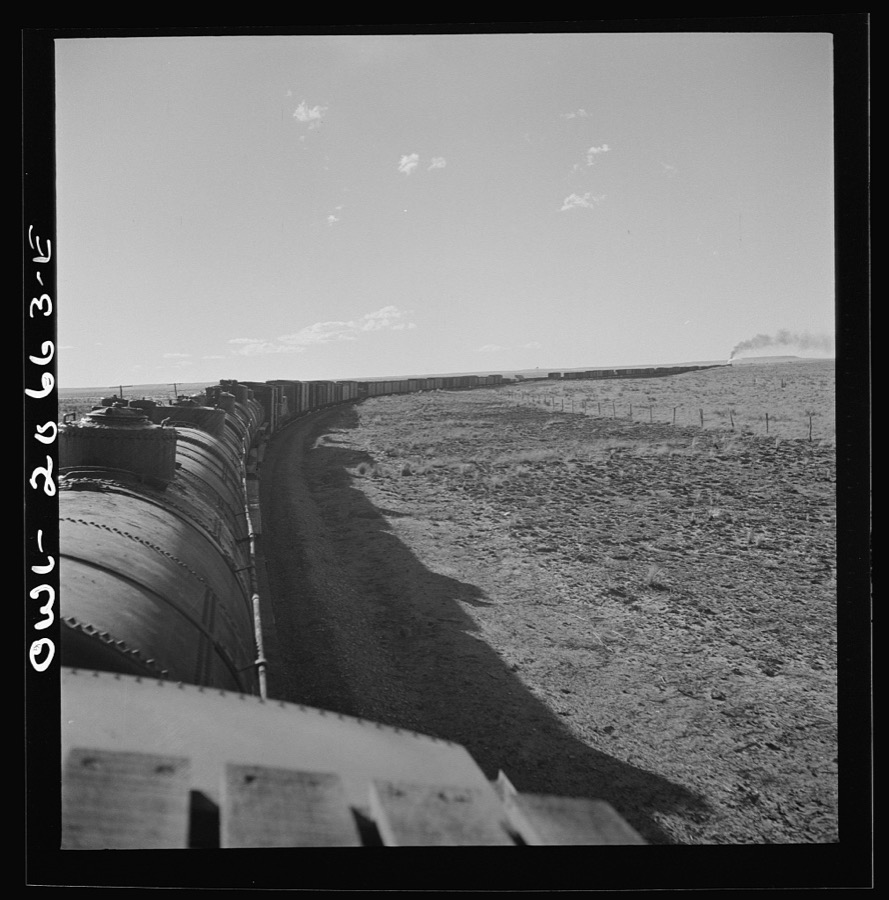
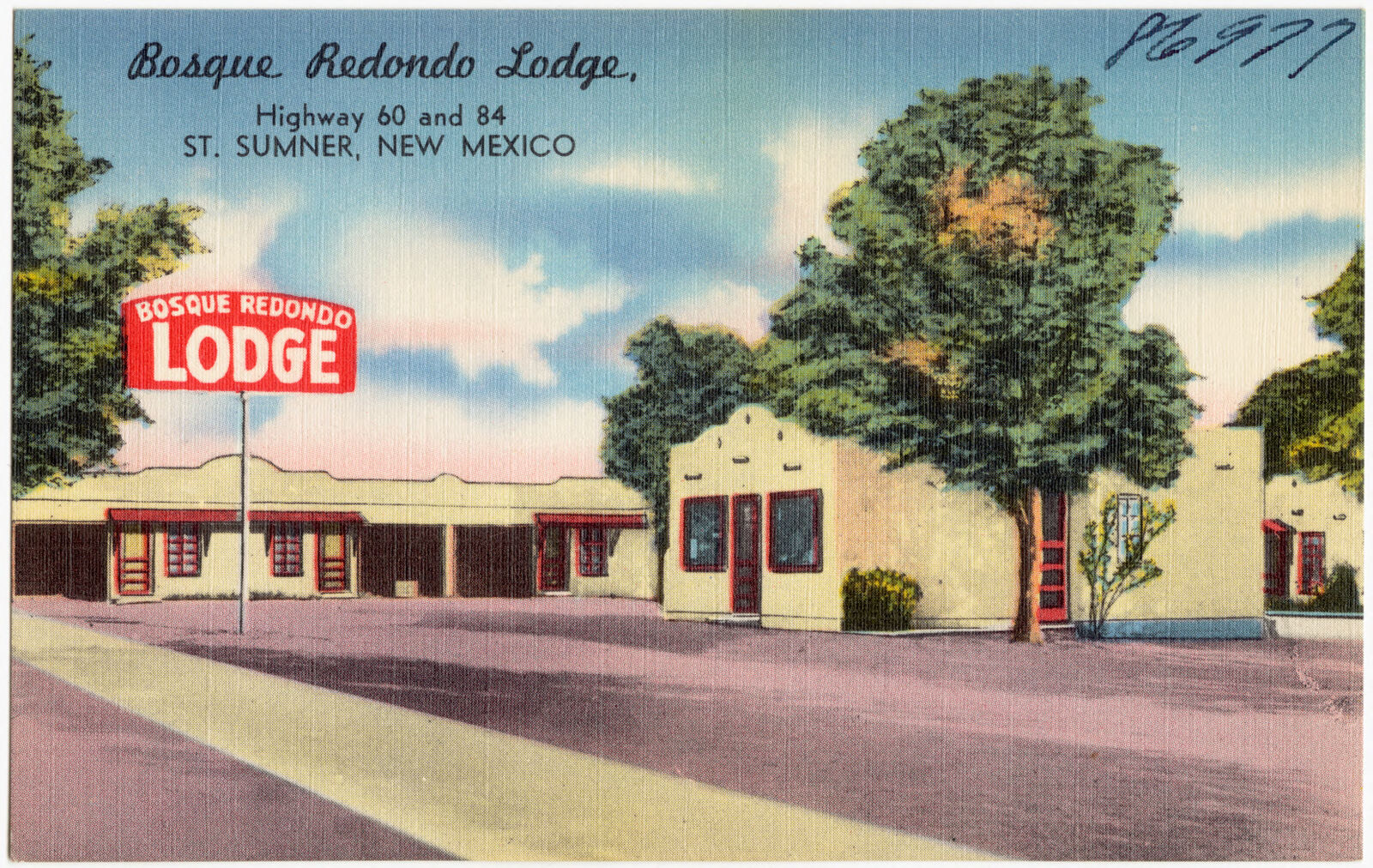
Taken for the Office of War Information and the Farm Security Administration, who photographed the country between 1935 and 1944. Works of United States government photographers, with no known restriction on use. Each opens its catalogue record.

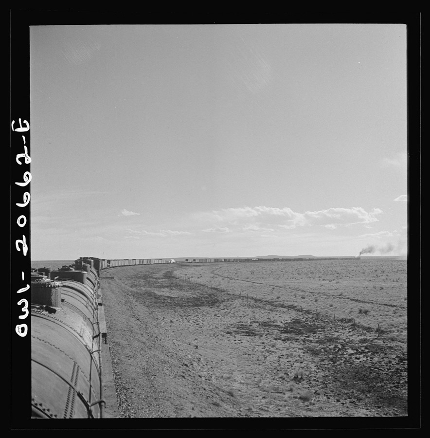
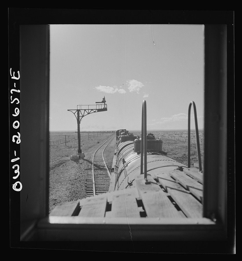
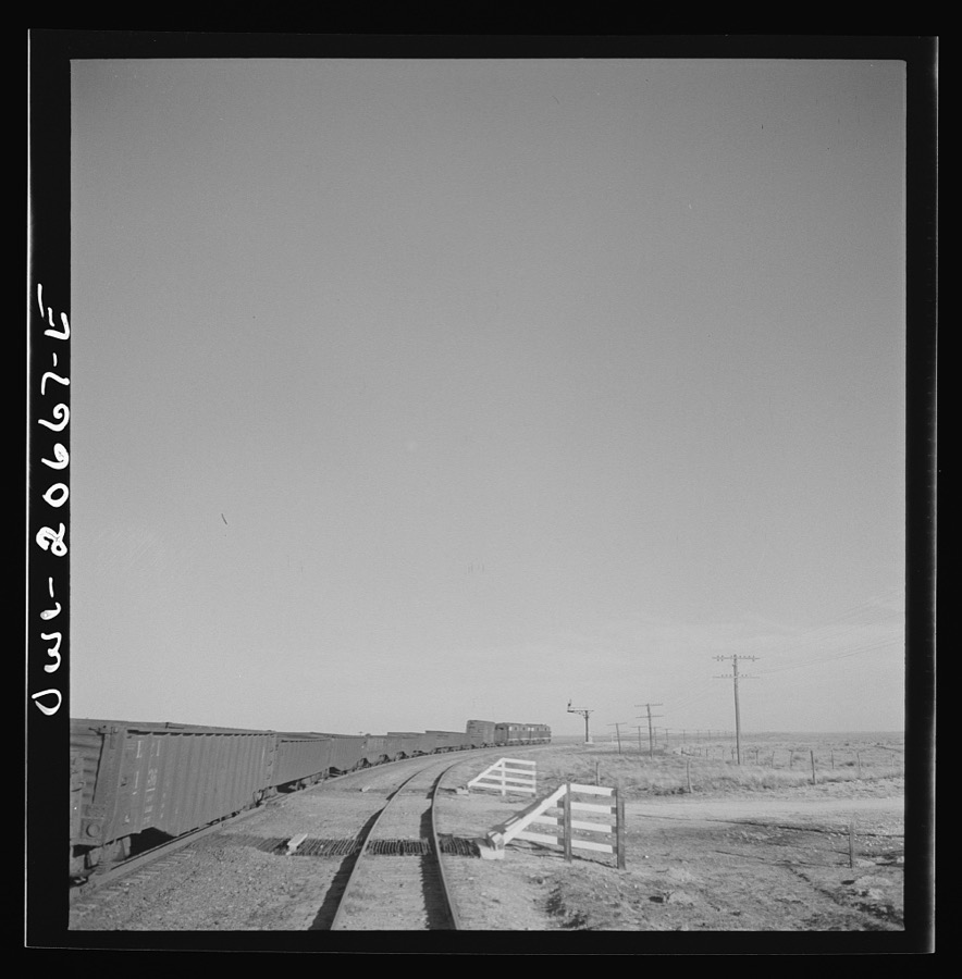
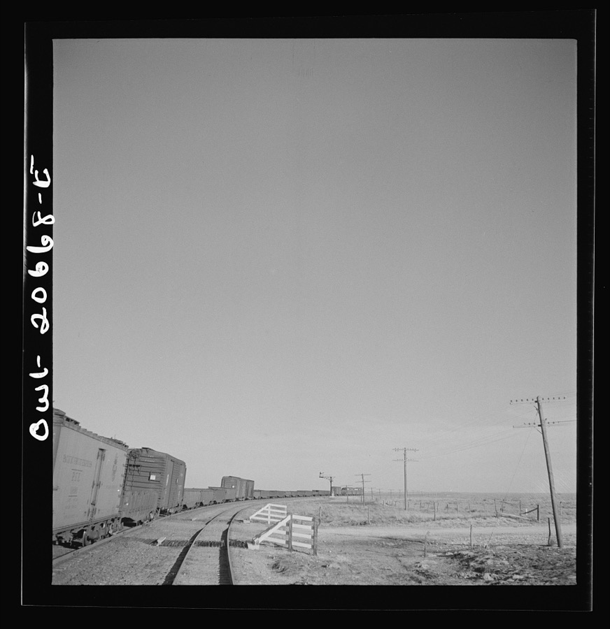
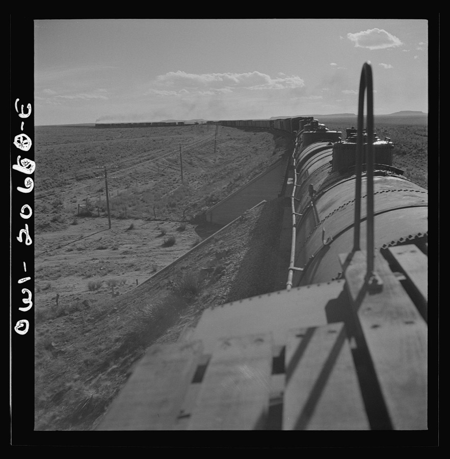
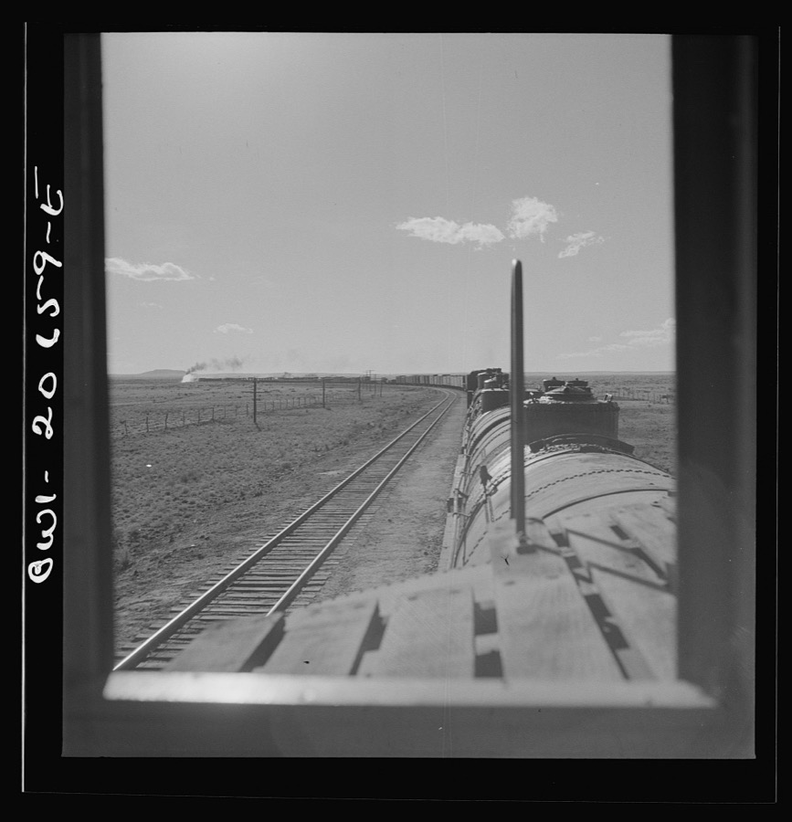
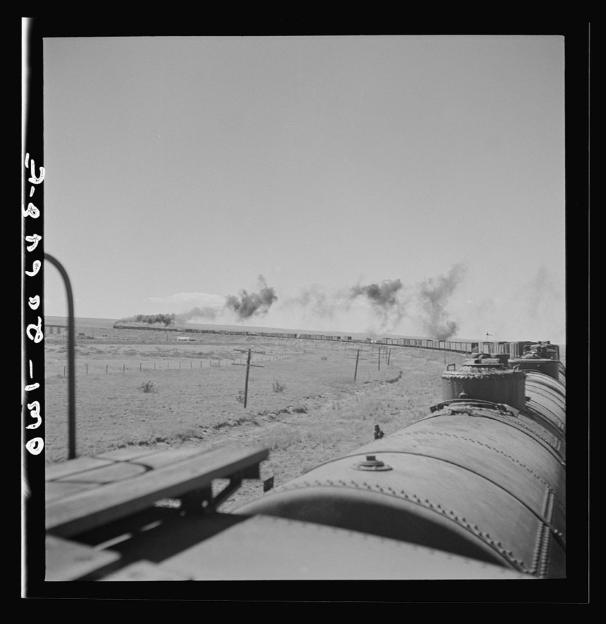
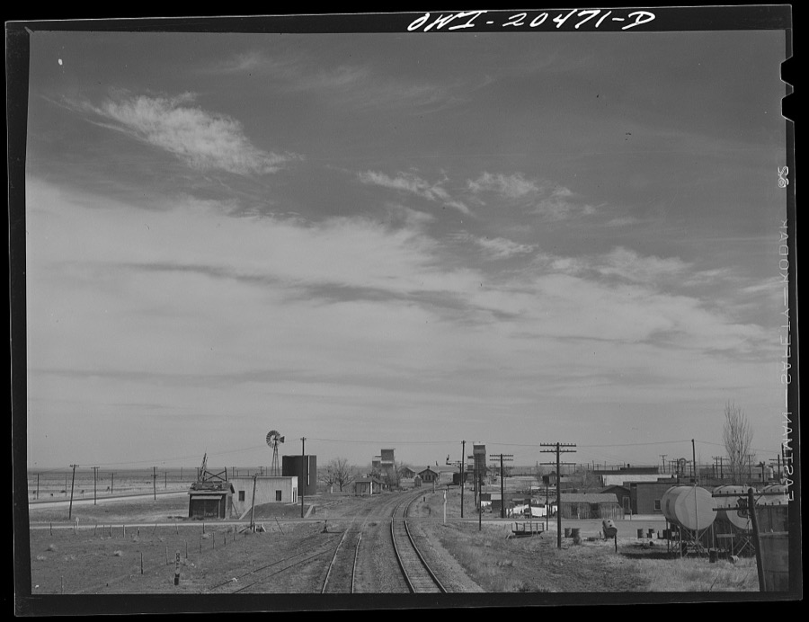
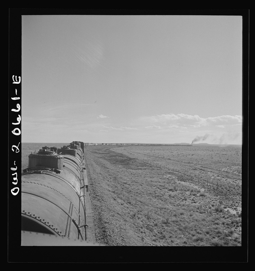
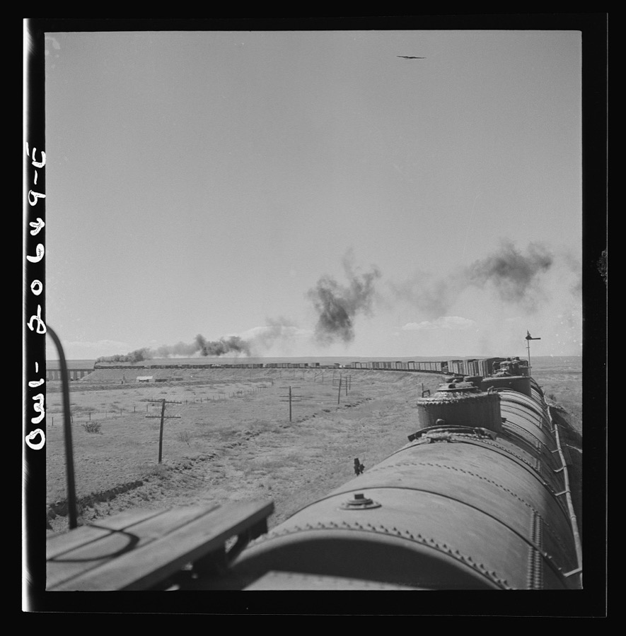
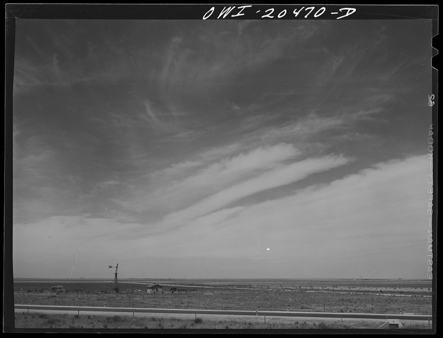

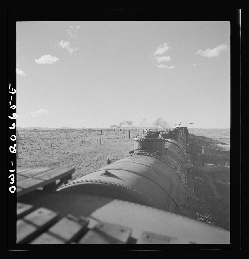
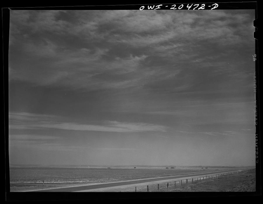
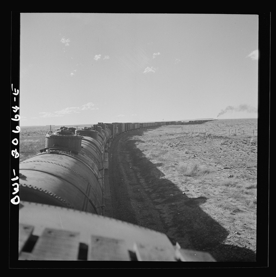
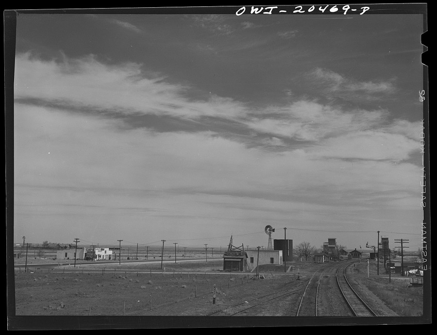
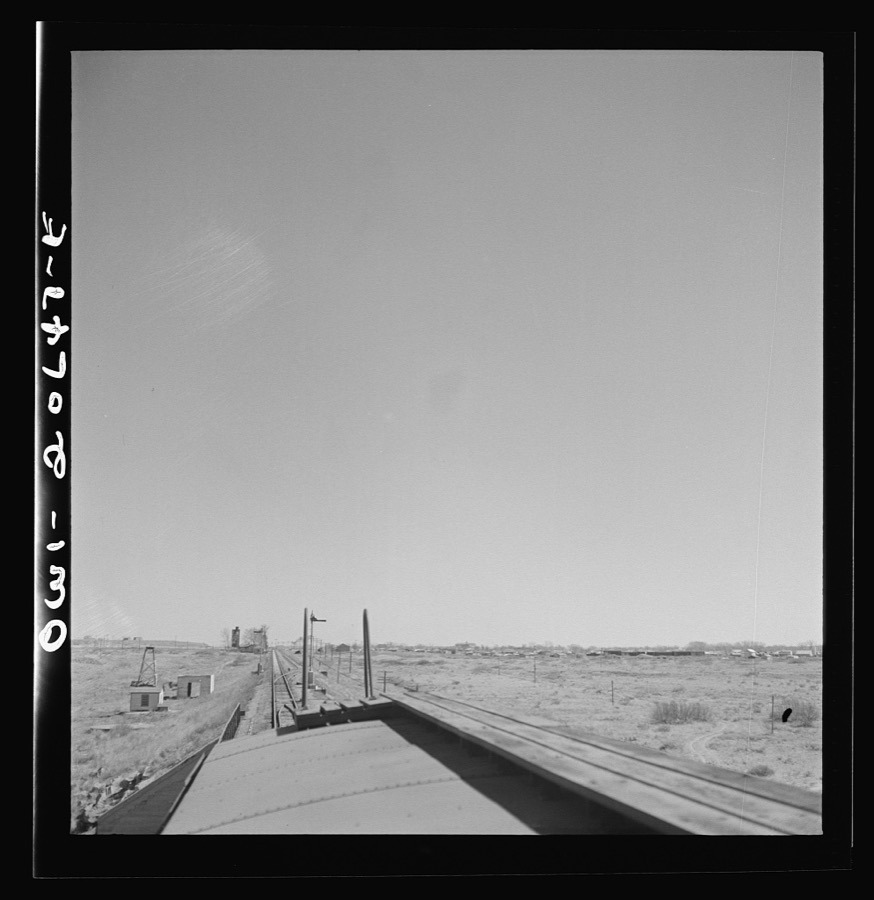
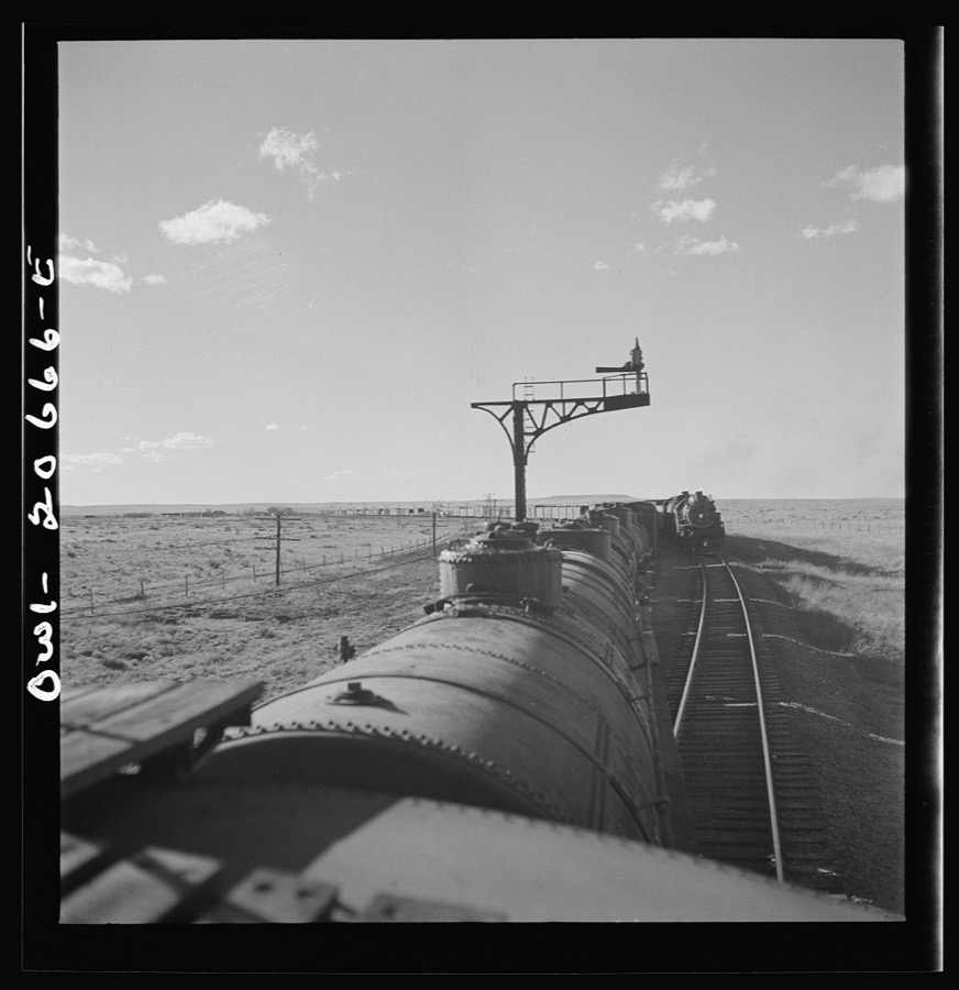

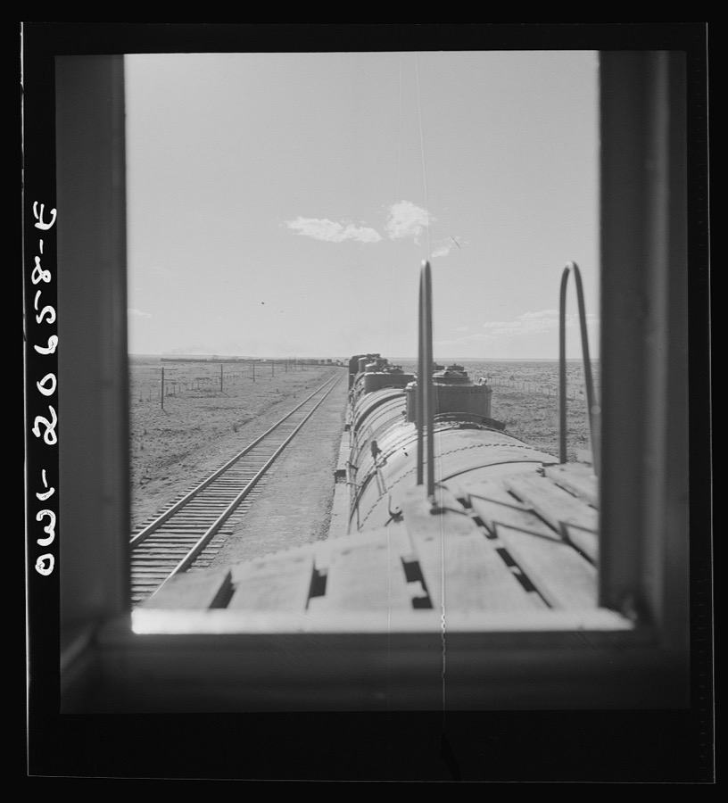
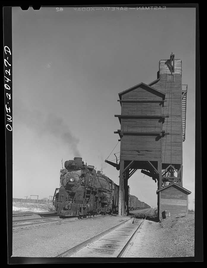

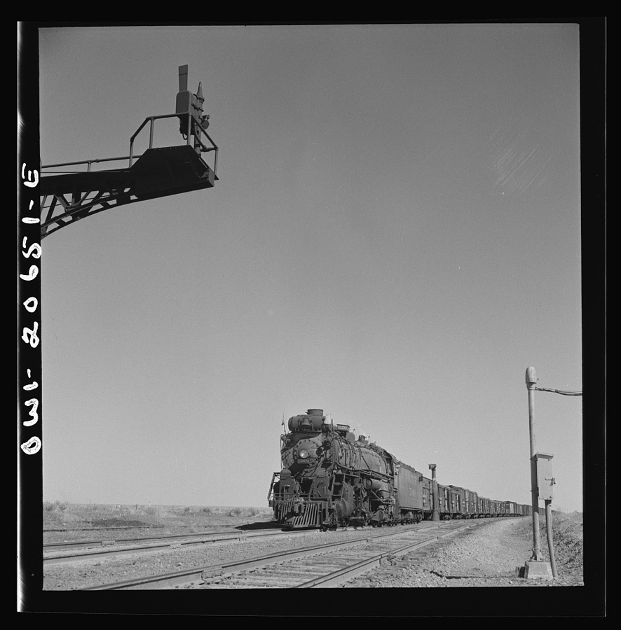
Every property in this county listed on the National Register of Historic Places, with the year it was listed and the federal nomination document.
| Photograph | Property | Type | Listed | Reference |
|---|---|---|---|---|
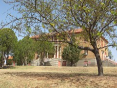 | De Baca County Courthouse | building | 1987 | 87000896 |
 | Fort Sumner Cemetery Wall and Entry | structure | 2008 | 08000575 |
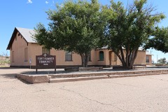 | Fort Sumner Community House | building | 2003 | 03000798 |
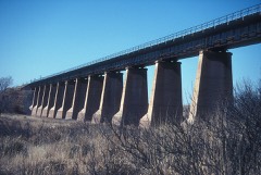 | Fort Sumner Railroad Bridge | structure | 1979 | 79001539 |
Sampled issues, machine-read from the Library of Congress scan and published page by page, so every headline and column is searchable text.
Fort Sumner, Guadalupe County, N.M., 190? to 1947. Machine-read from the Library of Congress scan.
Taiban, Roosevelt County, N.M., 19?? to 1922. Machine-read from the Library of Congress scan.
Selected from the Digital Public Library of America's 1 image records catalogued for this county. Every one shown here carries a public-domain status or a licence that permits reuse on a site that carries advertising; non-commercial, share-alike and restricted images are excluded. The selection is spread across the county's towns (at most eight per town), so no single institution's bulk upload crowds out the rest. Each opens the holding library's record, and the complete set at the Digital Public Library of America is one click away.
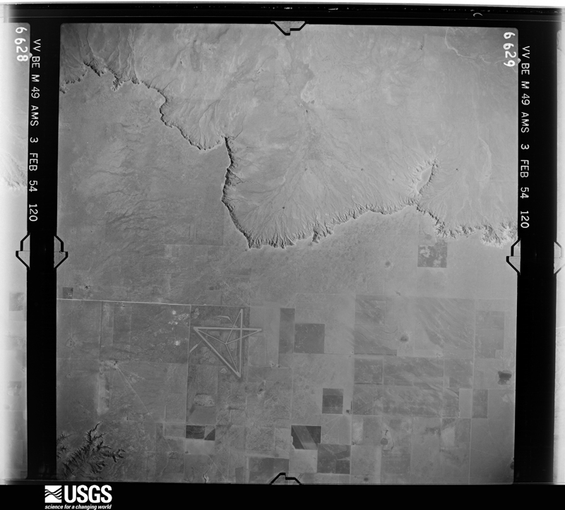
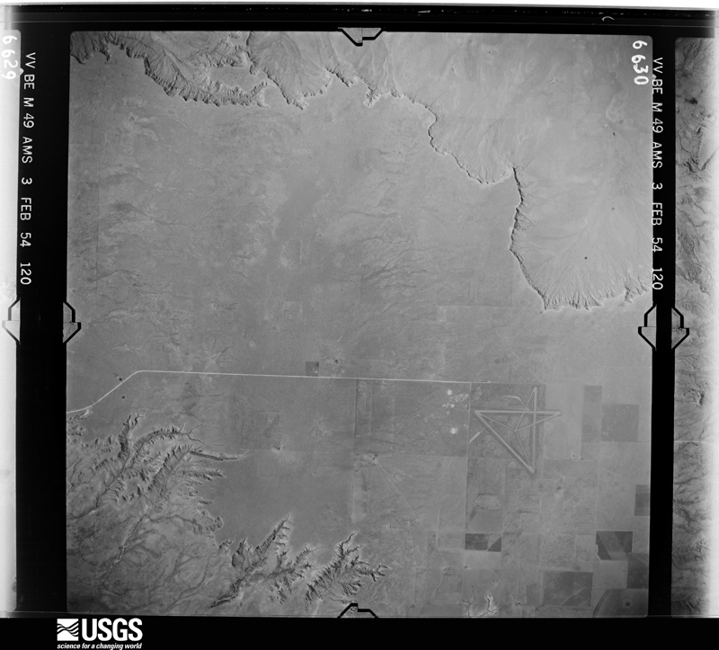
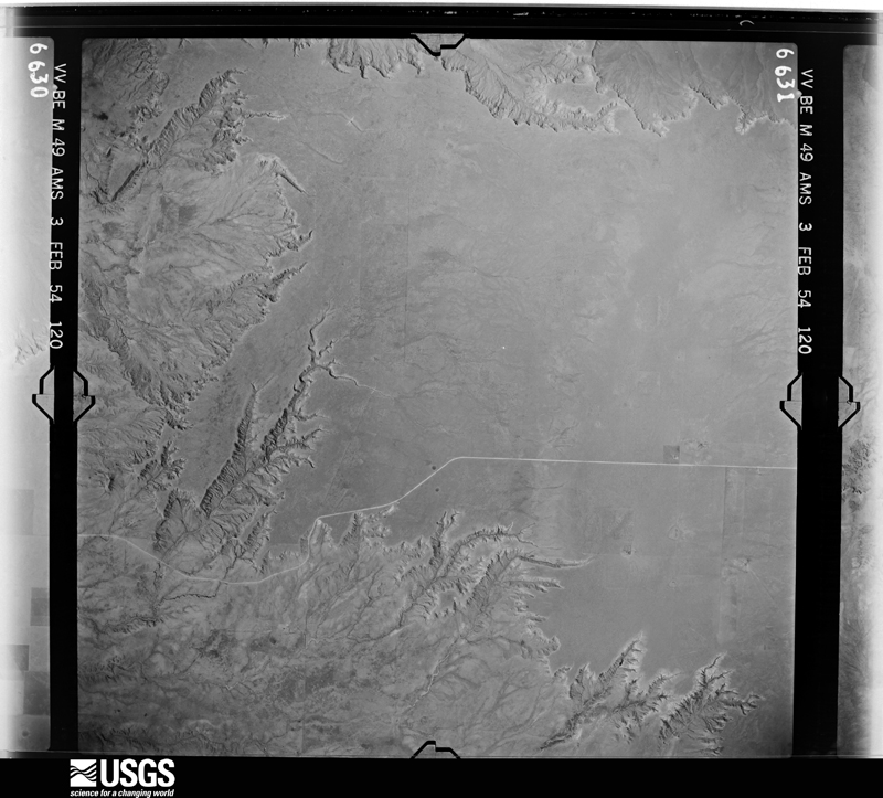
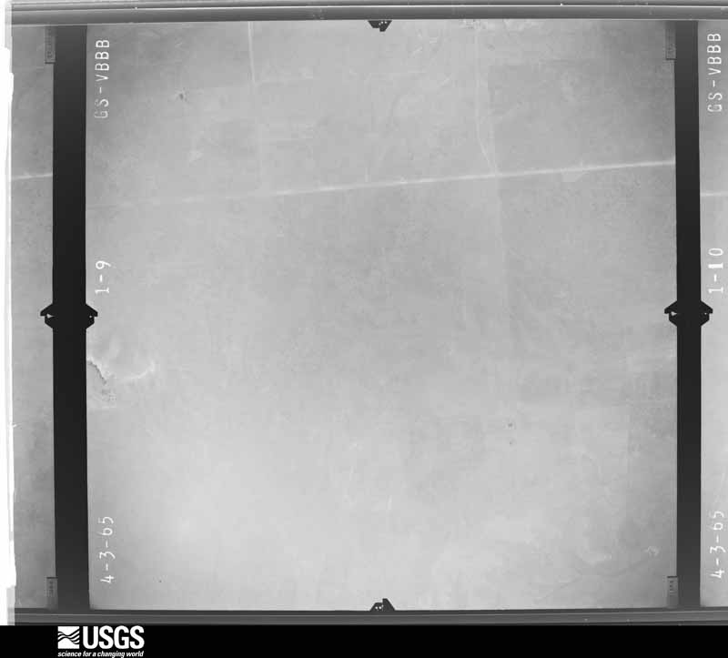
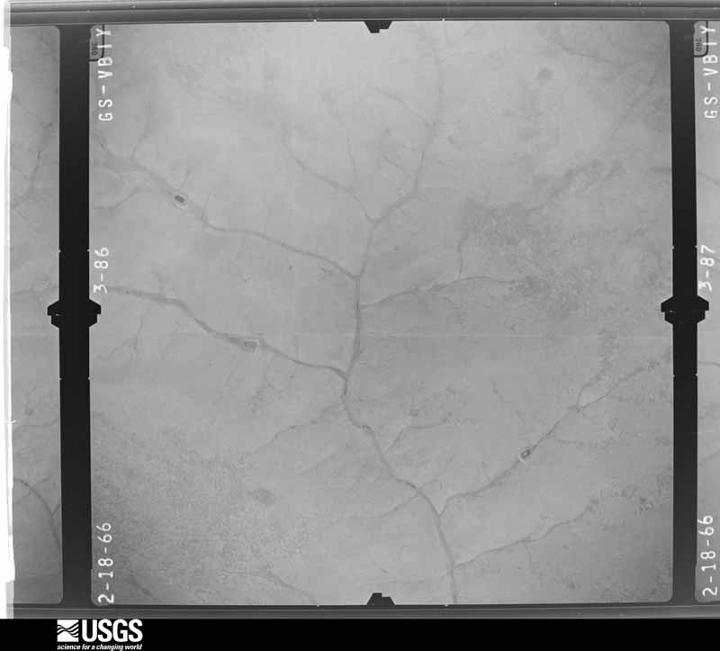
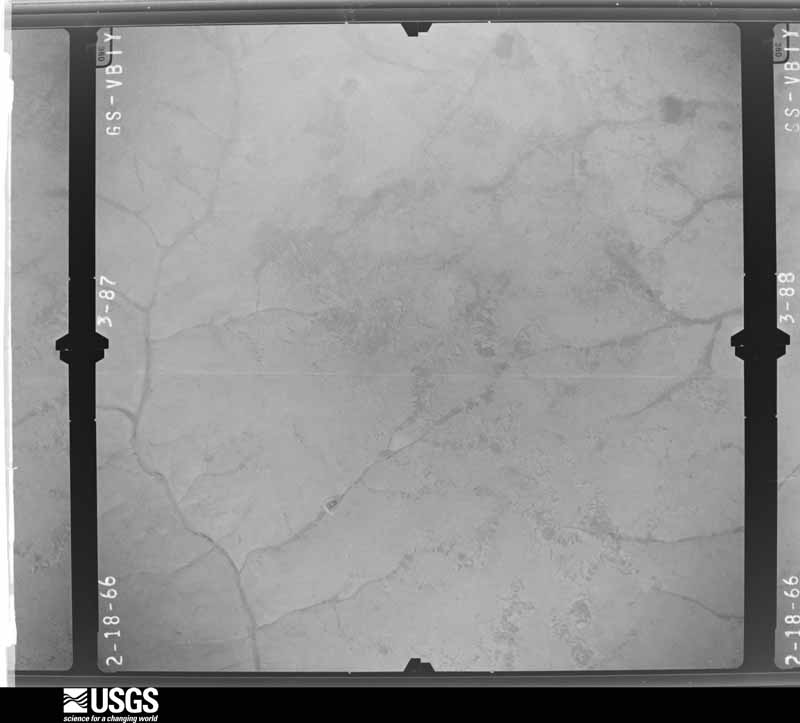
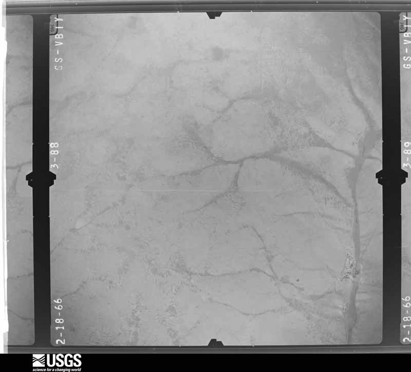
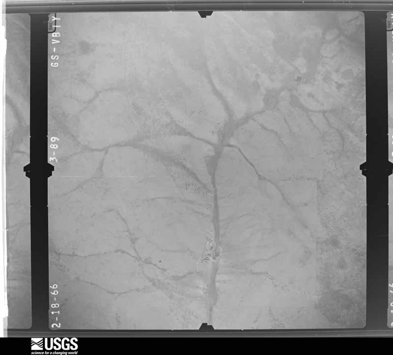
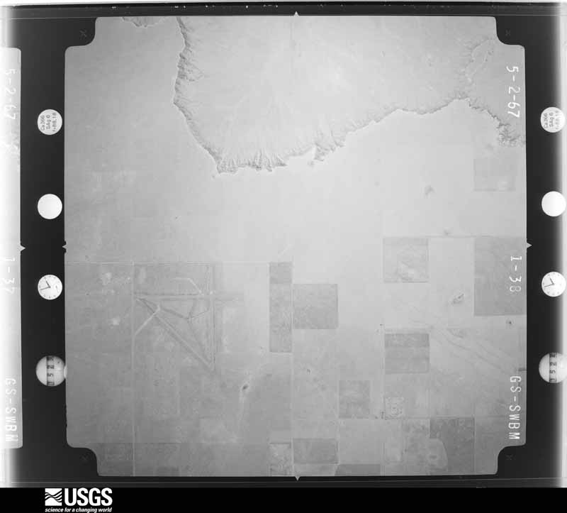
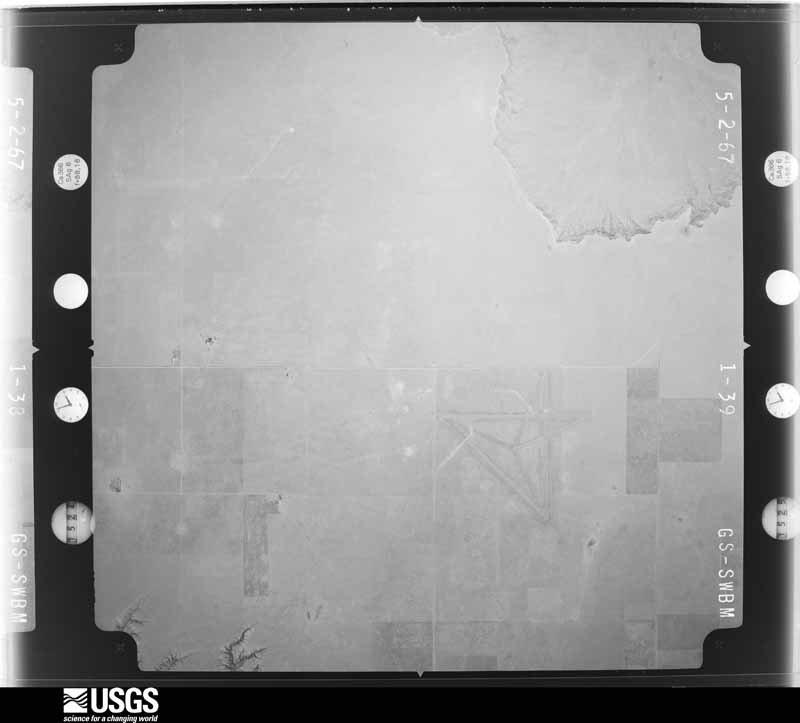
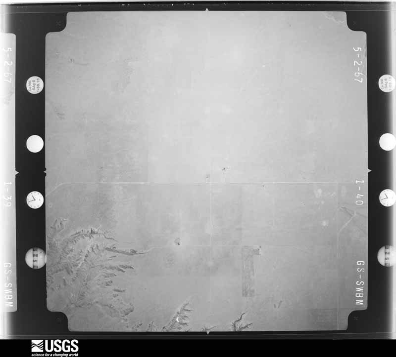
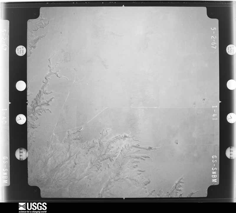
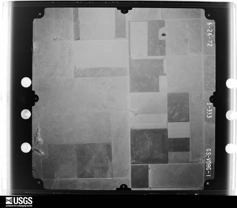
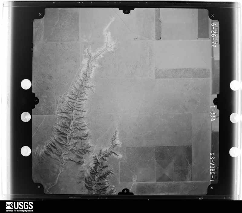
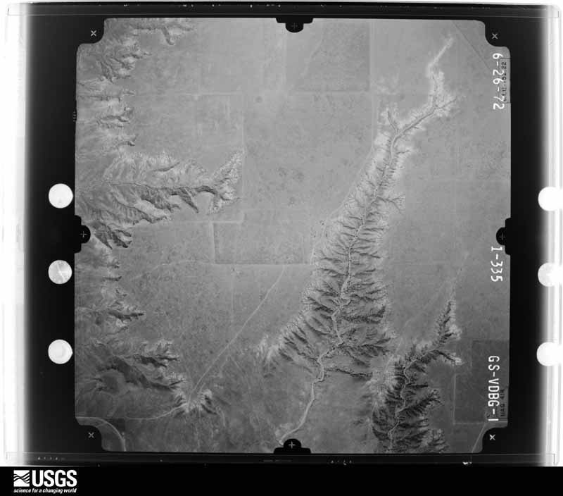
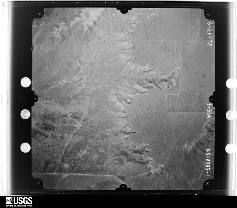
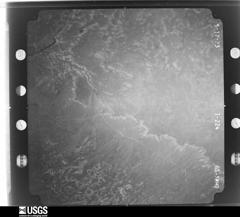
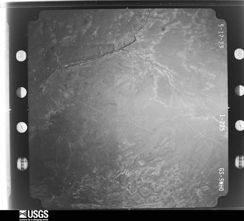
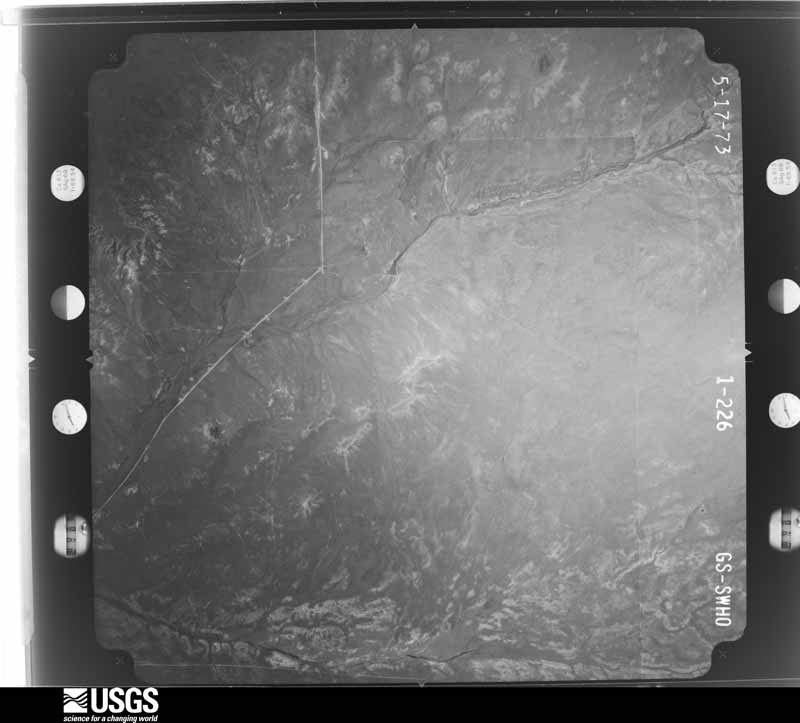
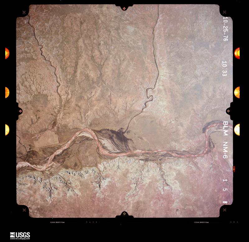
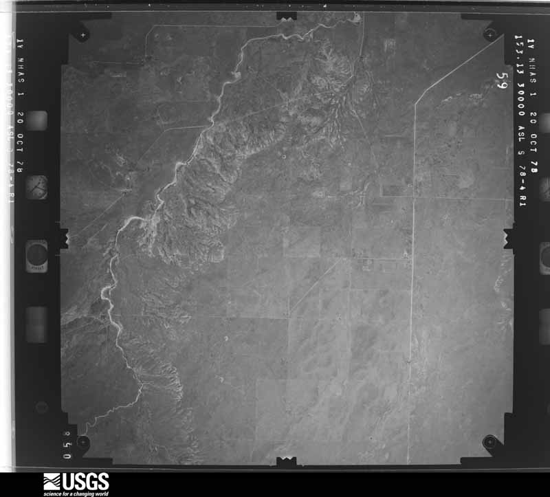
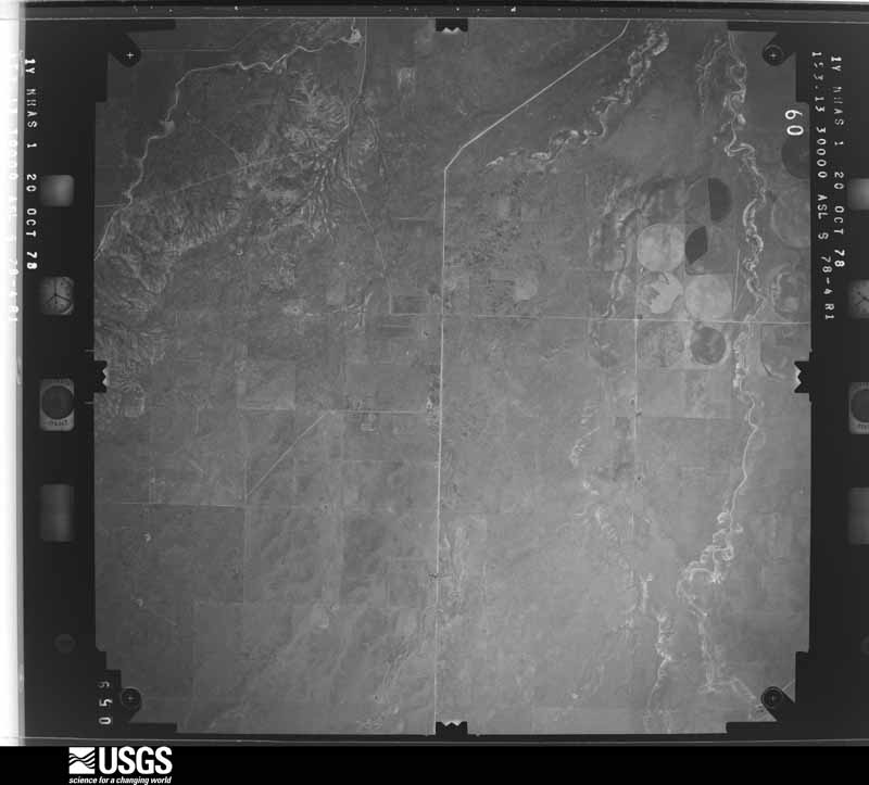
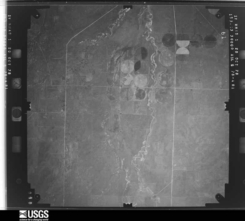
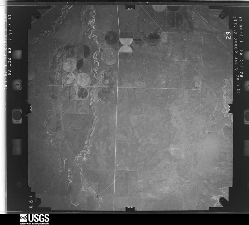
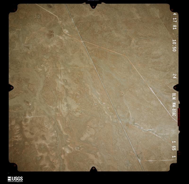
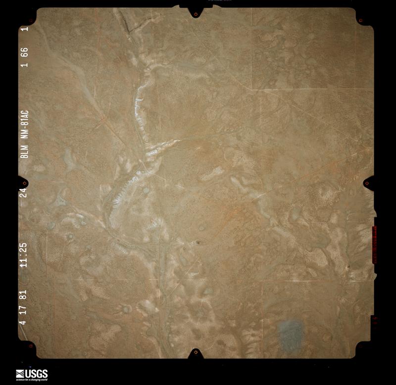
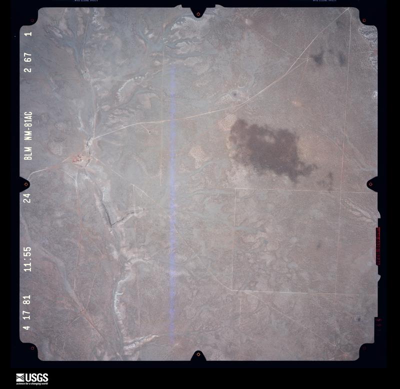
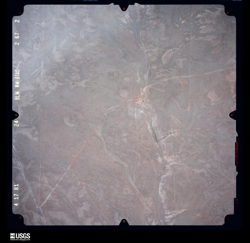
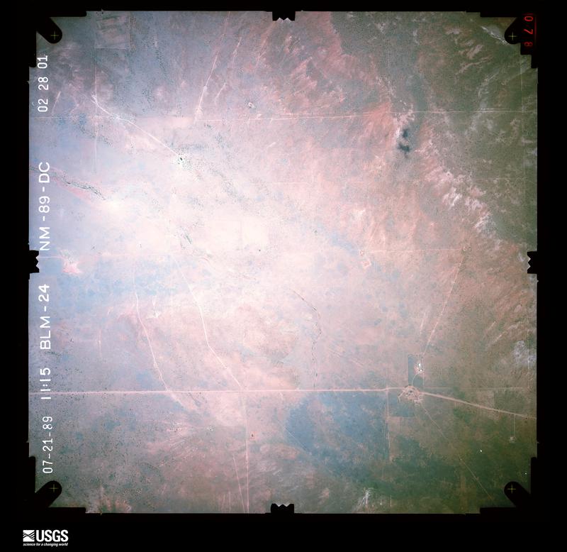
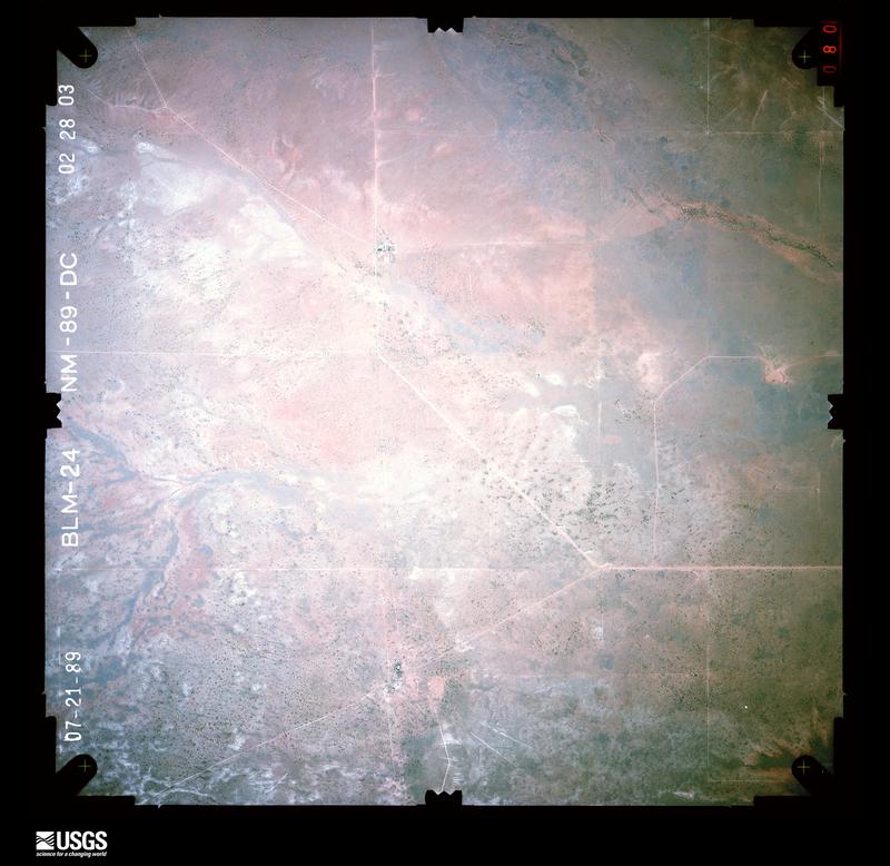
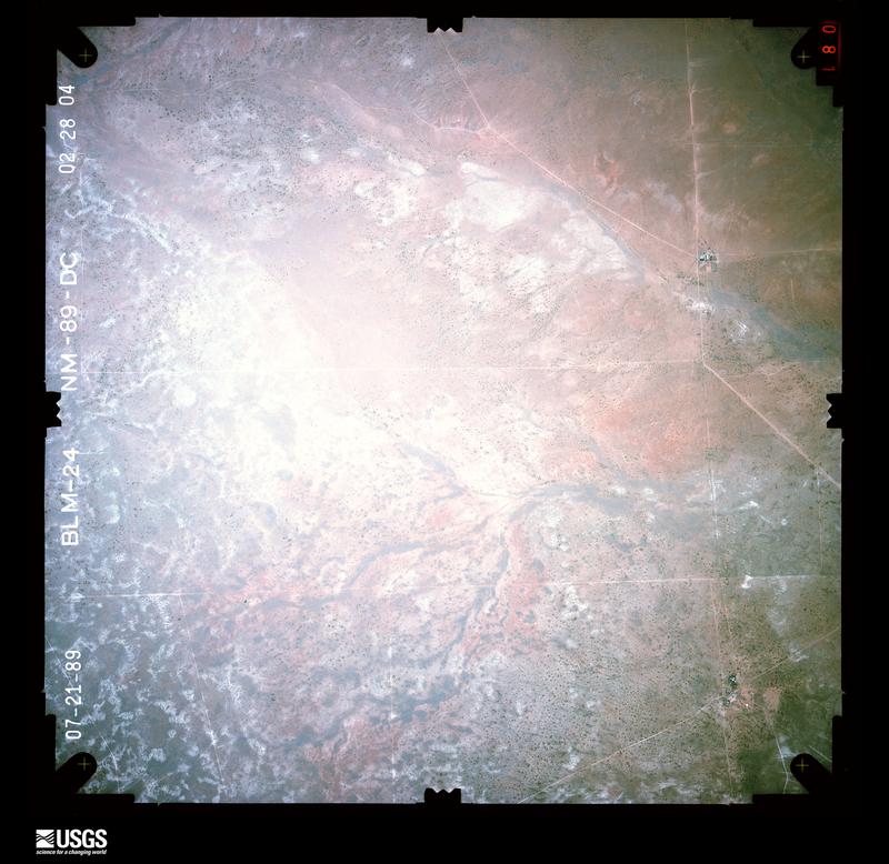
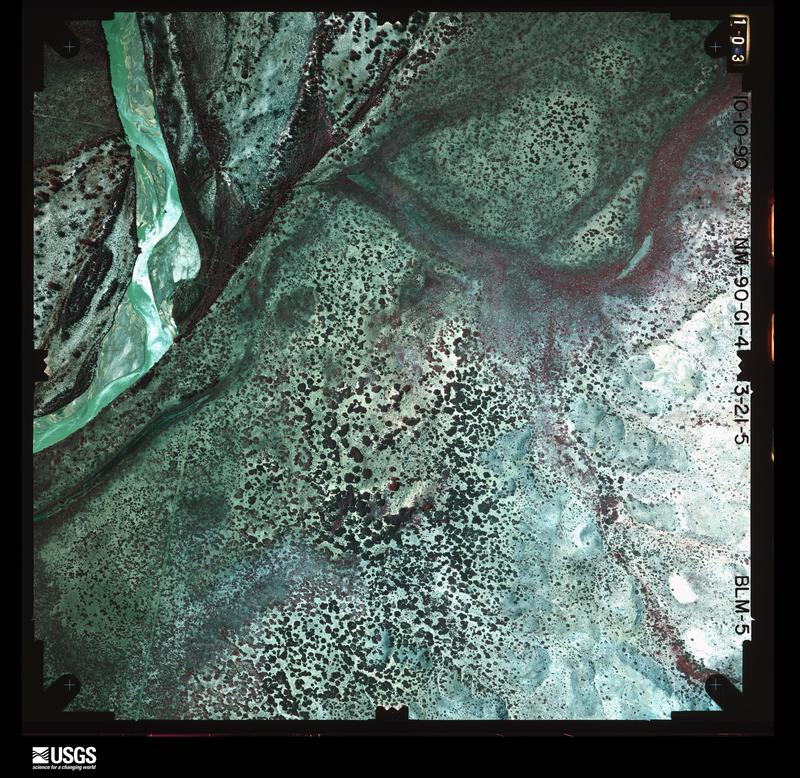
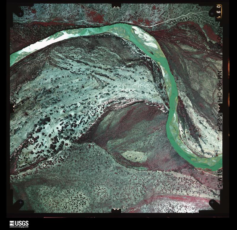
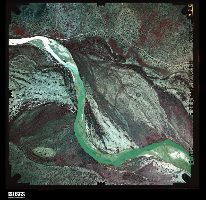
Flown by the U.S. Geological Survey between 1937 and 1989, the Aerial Photo Single Frames collection is the definitive mid-century view of the land: fields, roads and rivers as the camera saw them. The Survey holds 2,896 frames inside the rectangle that bounds this county; the 44 frames below were taken over the county itself, chosen across the decades of flights (at most four a year from that rectangle), so one flight cannot crowd out the rest. The full set is free to browse and download at EarthExplorer under the dataset Aerial Photo Single Frames.
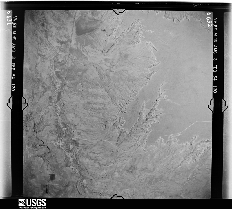
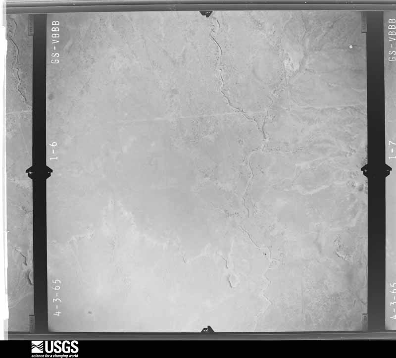
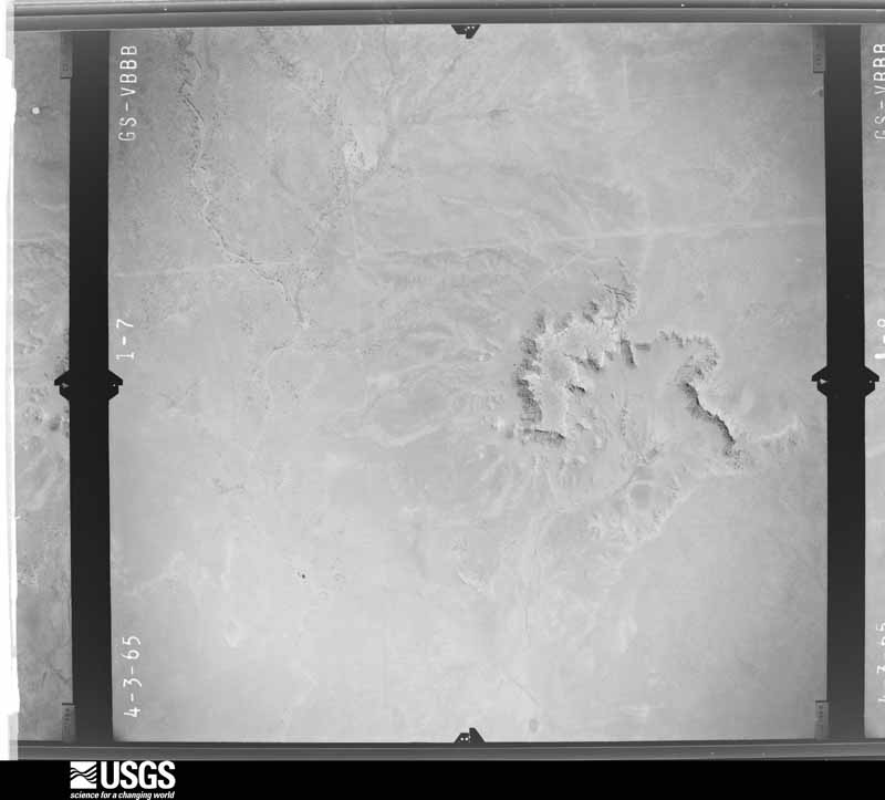
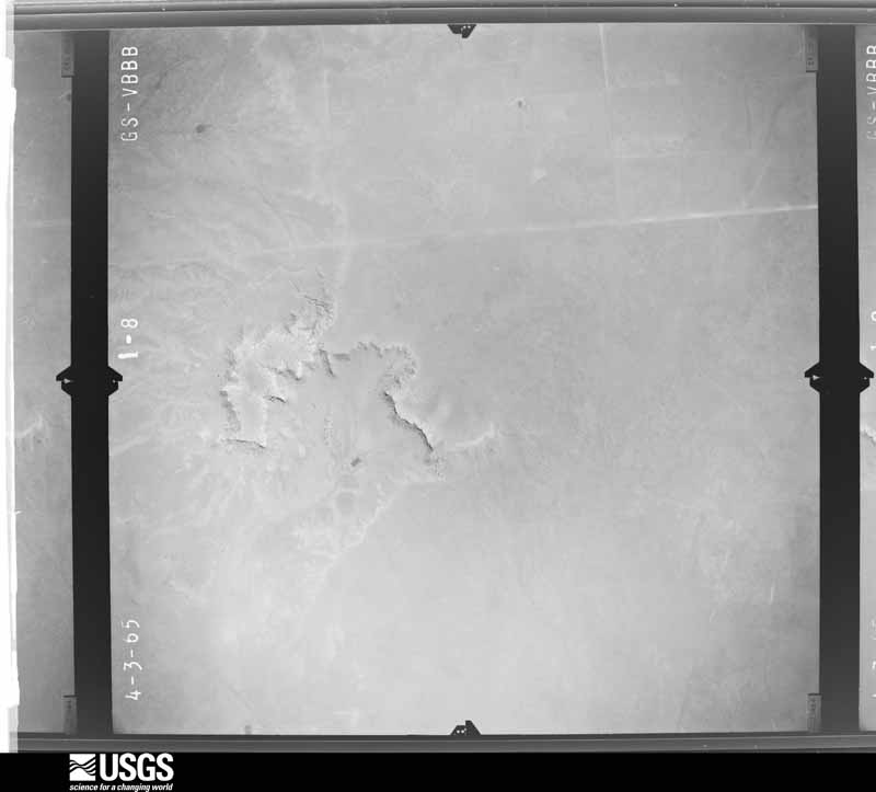
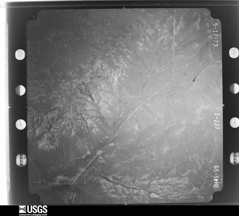
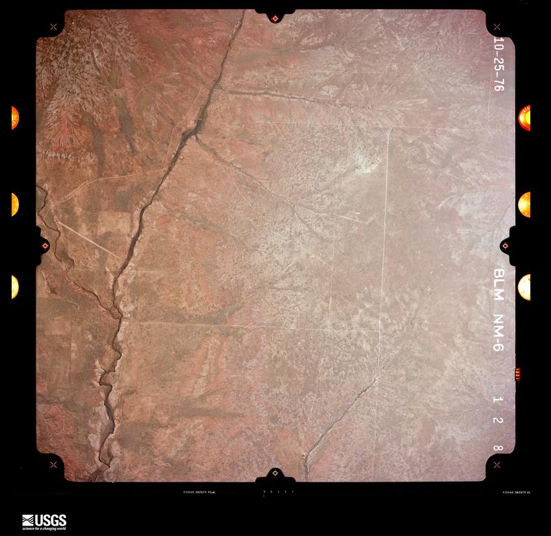
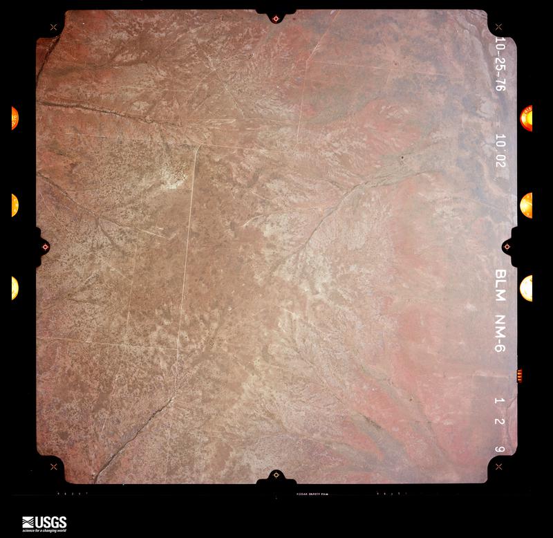
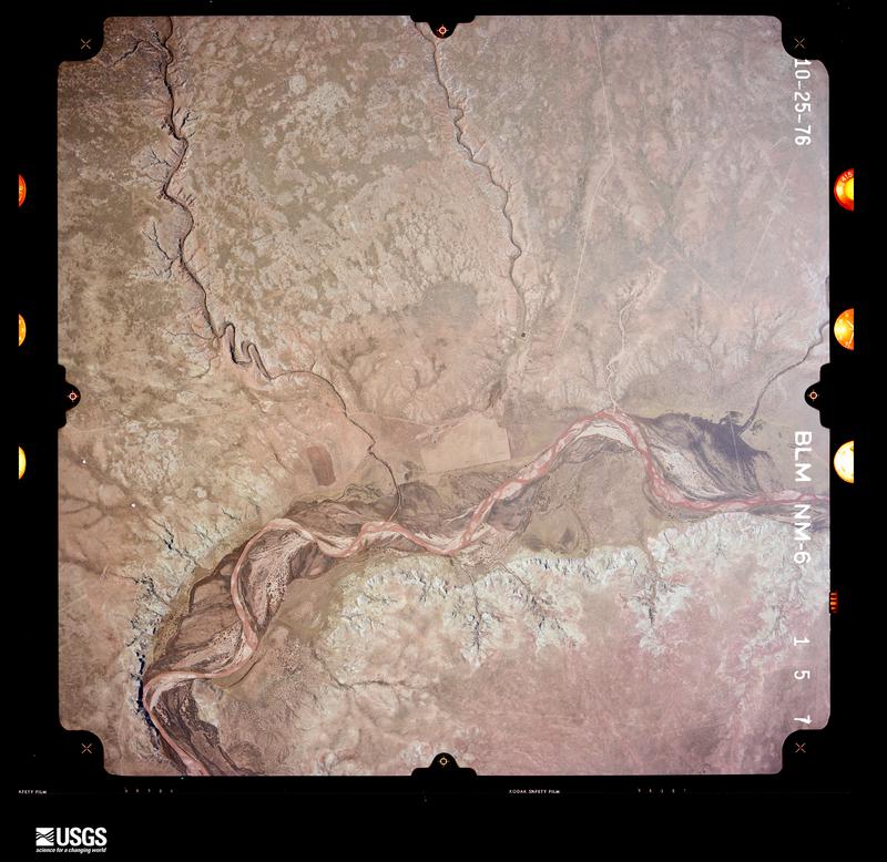


The thermometers that kept this county's weather, and the gages that measured the flow of its streams, as the federal records hold them. The extremes below are measured values from those records, not estimates.
Who lived here in 1950, one enumeration district at a time, as the Census Bureau described each district. Each row opens its official National Archives result, with Population Schedules and ED Maps available there.
Every wildfire the federal occurrence database records inside this county: 282 of them, burning about 115,210 acres. 115 started naturally and 1 was recorded as arson. Each settlement page carries the fires within five miles of it.
| Reported cause | Fires |
|---|---|
| Natural | 115 |
| Missing data/not specified/undetermined | 80 |
| Equipment and vehicle use | 45 |
| Debris and open burning | 19 |
| Railroad operations and maintenance | 9 |
| Smoking | 8 |
| Power generation/transmission/distribution | 5 |
| Arson/incendiarism | 1 |
The five largest, by the area the report gives. None of them was recorded as arson.
| Date | Cause | Size | Reported by | Name on the report |
|---|---|---|---|---|
| 17 February 2000 | Railroad operations and maintenance | 42,212 acres | New Mexico State Forestry Division | JOHNNY |
| 18 June 2011 | Debris and open burning | 10,077 acres | New Mexico State Forestry Division | BURNING TENT |
| 23 April 2006 | Natural | 4,000 acres | New Mexico State Forestry Division | WILTON |
| 10 July 2011 | Natural | 3,480 acres | New Mexico State Forestry Division | BAILEY COMPLEX |
| 10 August 2011 | Natural | 3,200 acres | New Mexico State Forestry Division | GARZA |
| 18 August 1994 | Missing data/not specified/undetermined | 2,500 acres | New Mexico State Forestry Division | MITCHELL |
| 26 March 1998 | Missing data/not specified/undetermined | 2,421 acres | Roswell Field Office | MESA |
| 11 July 2011 | Natural | 1,920 acres | New Mexico State Forestry Division | TRIANGLE 2 |
Every settlement page carries the fires within five miles of it - see the settlement index below.
The NOAA Storm Events Database holds 246 reports for this county, causing no deaths, no injuries and about $637,000 in recorded property damage. Each settlement page carries the reports that name it.
| Kind of event | Reports |
|---|---|
| Hail | 144 |
| Thunderstorm Wind | 63 |
| Flash Flood | 20 |
| Tornado | 11 |
| Funnel Cloud | 3 |
| Heavy Rain | 3 |
| Flood | 2 |
The most serious of them, by death, then injury, then recorded damage. The accounts are quoted exactly as the forecast office filed them.
| When | Event | Place named | Harm | What the report says |
|---|---|---|---|---|
| July 2015 | Thunderstorm Wind | Chilili | $250,000 | Several rail cars toppled off the tracks of a BNSF train near Fort Sumner. |
| May 2019 | Thunderstorm Wind | Ft Sumner | $100,000 | Two large transmission lines were blown down to the north of Fort Sumner. Power outages were reported throughout De Baca County. Damage amounts are a very rough estimate due to an unknown length of wire damage. |
| June 2017 | Thunderstorm Wind | Taiban | $50,000 | Several roadways signs along U.S. Highway 60 between Tolar and Taiban were blown away due to severe winds. |
| May 2015 | Flash Flood | Taiban | $50,000 | Spotter reported several arroyos were overflowing their banks and washing out numerous roads. State Road 294 was closed due to flooding near junction with U.S. Highway 60 for several hours after causative event. Most of the flooding subsided by 3 am which allowed some roads to become passable. No damage was reported with this flooding. |
| September 1993 | Tornado (F1) | Fort Sumner | $50,000 | A tornado moved across Sumner Lake, hitting the Alamo Boat Club Deck. The tornado damaged and flipped over two pontoon boats, stripped the roof from one cabin, damaged roofs of five other cabins and broke several power poles and television antennas. |
| May 1997 | Hail | Yeso | $30,000 | Billard ball size hail damaged cars along Highway 60 east of Yeso. |
| June 2003 | Thunderstorm Wind | Ft Sumner | $25,000 | Ranch house roof lost to high winds as line of thunderstorms moved east. |
| August 2021 | Flash Flood | Ft Sumner | $20,000 | Heavy rain with totals of two to three inches within an hour produced flash flooding along New Mexico State Highway 272. A trained spotter reported that the highway near Fort Sumner was impassable due to water over the roadway. Damages are estimated. |
| September 2018 | Flash Flood | Dunlap | $10,000 | Fences were washed out along state road 20. Debris was forced over the roadway. Damages are a very rough estimate. |
| July 2014 | Flash Flood | Ft Sumner | $10,000 | Water from the Alamogordo Creeek drainage between 3 and 4 feet deep over Highway 84. Around 300 yards wide. Highway shut down by State Police. |
| September 2014 | Hail | Ft Sumner | $10,000 | Hail size ranged from quarter to golf ball size. Scientists working with the Columbia Scientific Balloon Facility reported damage to windows and ventilation units in several campers stationed in Fort Sumner. |
| July 1997 | Thunderstorm Wind | Ft Sumner | $10,000 | High winds, which downed power lines, and heavy rain were reported by Ft Sumner police. |
| July 2022 | Thunderstorm Wind | Ft Sumner | $5,000 | A mesonet station near Fort Sumner measured a 73 mph thunderstorm wind gust. These gusts downed a tree and caused minor crop damage. Damages are estimated. |
| June 2017 | Thunderstorm Wind | Ft Sumner | $5,000 | Thunderstorm outflow winds near 60 mph blew a metal carport over into a nearby street. |
| August 2008 | Thunderstorm Wind | Ft Sumner | $3,000 | Tree branches were downed in Fort Sumner by thunderstorm wind gusts over 65 mph. |
| June 2021 | Thunderstorm Wind | Ft Sumner | $2,500 | Law enforcement reported a downed tree in Fort Sumner from strong winds associated with a severe thunderstorm. No information was provided on the diameter of the tree or if additional damage resulted. Damages are roughly estimated for the loss of the tree. |
| July 1997 | Thunderstorm Wind | Ft Sumner | $2,000 | no account filed |
| June 2022 | Thunderstorm Wind | Ft Sumner | $1,000 | A member of the public in Fort Sumner measured a 64 mph wind gust associated with a dry microburst. One inch diameter tree branches were downed with no other damage reported. Damages are estimated for the tree. |
| September 2020 | Thunderstorm Wind | Ft Sumner | $1,000 | Strong winds blew the roof off of a carport in Fort Sumner. |
| May 2014 | Thunderstorm Wind | Yeso | $1,000 | A 10 inch diameter tree was snapped in half from estimated 70 to 80 mph winds. |
| July 1997 | Thunderstorm Wind | Ft Sumner | $1,000 | no account filed |
| July 2009 | Thunderstorm Wind | Yeso | $500 | Several three to four inch tree branches were snapped off. |
| June 2025 | Thunderstorm Wind | Taiban | - | A trained spotter in Taiban along U.S. 60 reported estimated wind gusts of 60 mph from a cluster of severe thunderstorms. |
| April 2025 | Hail | Ft Sumner | - | A trained spotter in Fort Sumner reported quarter size hail from a severe thunderstorm. |
| April 2025 | Flash Flood | Ft Sumner | - | U.S. Highway 84 was closed through Fort Sumner due to severe flooding over the highway. Numerous flooding impacts were reported in town including crop damage from flooded fields, residential road closures and damage due to water over roads, and irrigation ditches overflowing. The Fort Sumner high school football field was flooded due to the heavy rainfall. |
| April 2025 | Tornado (EFU) | Ft Sumner | - | Photos from two chasers on social media indicate a tornado on the ground approximately 11 miles south of Fort Sumner. |
| April 2025 | Flash Flood | Ft Sumner | - | Heavy rainfall from severe thunderstorms resulted in 2.5 feet of water flowing over State Highway 20 from mile marker 37 to 41 leading to the closure of the highway. |
| April 2025 | Hail | Yeso | - | A COOP observer 2 mile south of Yeso observed quarter size hail from a severe thunderstorm. |
| April 2025 | Hail | Yeso | - | A COOP observer 7 miles east northeast of Yeso observed 1.5 inch hail from a severe thunderstorm. |
| May 2025 | Thunderstorm Wind | Ft Sumner | - | The mesonet station east of Fort Sumner measured peak wind gusts of 66 mph from nearby showers. |
| May 2025 | Hail | Dunlap | - | Penny to nickel size hail. |
| June 2025 | Hail | Taiban | - | A trained spotter along NM 294 south of Taiban observed a few golf ball sized hail among lots of pea size hail. |
| August 2024 | Thunderstorm Wind | Ft Sumner | - | The Fort Sumner Airport recorded a thunderstorm wind gust of 58 mph. |
| October 2024 | Hail | Ft Sumner | - | A strong storm dropped penny size hail in central De Baca County west of Fort Sumner. |
| June 2023 | Thunderstorm Wind | Ft Sumner | - | The Fort Sumner Airport reported a thunderstorm wind gust of 64 mph. |
| May 2023 | Hail | Ft Sumner | - | Two reports of hail ranging in size from 1 to 1.75 inches five miles north of Sumner Lake State Park. |
| May 2023 | Flash Flood | Taiban | - | A storm chaser reported a foot of fast moving water crossing NM Highway 252 at this location. No damages were reported. |
| May 2023 | Hail | Ft Sumner | - | There were two reports of dime and quarter size hail a few miles west of Fort Sumner. |
| July 2023 | Thunderstorm Wind | Ft Sumner | - | The Fort Sumner Airport measured a peak thunderstorm outflow wind gust of 59 mph. |
| May 2022 | Hail | Dunlap | - | A trained spotter reported nickel size hail just east of Mesa that was accumulating on the ground. |
| August 2022 | Hail | Yeso | - | Half dollar size hail was reported east of Yeso. |
| June 2022 | Hail | Yeso | - | A trained spotter near Yeso reported golf-ball size hail that lasted about five minutes from a severe thunderstorm. |
| June 2022 | Thunderstorm Wind | Ft Sumner | - | The Columbia Scientific Balloon Facility measured a 66 mph wind gust associated with a dry microburst. No damage was reported. |
| May 2021 | Hail | Yeso | - | A trained spotter estimated one inch hail from a severe thunderstorm in Yeso. |
| May 2021 | Thunderstorm Wind | Ft Sumner | - | A trained spotter near Fort Sumner measured a 58 mph wind gust along the outflow boundary of a severe thunderstorm. The spotter also reported pea size hail. |
| June 2021 | Flood | Dunlap | - | Heavy rain south of Yeso in De Baca County resulted in the closure of New Mexico State Road 20 from mile marker 10 to mile marker 13. There are no known impacts. |
| September 2021 | Thunderstorm Wind | Ft Sumner | - | A mesonet station in Fort Sumner measured a 62 mph thunderstorm wind gust. |
| July 2021 | Flash Flood | Dunlap | - | Heavy rain and flash flooding forced the closure of New Mexico State Road 20 from mile marker 0 to mile marker 45. No damages were known. |
| March 2019 | Hail | Ft Sumner | - | Quarter size hail reported six miles west of Fort Sumner. |
| March 2019 | Thunderstorm Wind | Ft Sumner | - | The Columbia Scientific Balloon Facility reported a peak wind gust up to 64 mph as a line of thunderstorms moved through the area. |
| May 2019 | Thunderstorm Wind | Ft Sumner | - | Minor damage was reported to residences within Fort Sumner. Sheet metal was torn off some roofs and barns. The nearby Columbia Scientific Balloon Facility reported a peak wind gust up to 66 mph. |
| December 2019 | Funnel Cloud | Ft Sumner | - | A rancher spotted a funnel cloud several miles to the southeast of Santa Rosa over rural countryside. |
| July 2018 | Thunderstorm Wind | Ft Sumner | - | Sumner Lake reported peak wind gusts between 50 and 60 mph. |
| July 2018 | Hail | Ft Sumner | - | Nickel to quarter size hail at Sumner Lake. |
| August 2018 | Thunderstorm Wind | Ft Sumner | - | Peak wind gust up to 63 mph at Sumner Lake. |
| August 2018 | Thunderstorm Wind | Ft Sumner | - | Peak wind gust up to 58 mph at the Columbia Scientific Balloon Facility. |
| June 2018 | Thunderstorm Wind | Ft Sumner | - | Outflow from thunderstorms well to the southeast of Fort Sumner produced a 61 mph wind gust at the CSBF. |
| May 2017 | Hail | Ft Sumner | - | First round of hail with stones up to the size of quarters. |
| May 2017 | Hail | Ft Sumner | - | Second round of large hail with stones up to the size of ping pong balls. |
| August 2017 | Thunderstorm Wind | Ft Sumner | - | Wind gust up to 60 mph one mile southwest of Fort Sumner. |
The Survey's mineral resources record lists 33 workings inside this county. 2 still produce and 31 are closed or unrecorded. Each settlement page carries the workings within five miles of it.
| Commodity | Workings |
|---|---|
| Sand and Gravel, Construction | 30 |
| Gypsum-Anhydrite | 2 |
| Uranium | 1 |
The least common of them first, because a county's hundredth gravel pit says nothing its first ten did not.
| Where | Site | Commodity | Status | Recorded |
|---|---|---|---|---|
| Cebolo Creek Occurrence | Uranium | Occurrence | ||
| Pecos River Valley Gypsum Deposits | Gypsum-Anhydrite | Past Producer | Gypsum | |
| Sumner Lake Gypsum Deposits | Gypsum-Anhydrite | Occurrence | Gypsum | |
| Borrow Pit | Sand and Gravel, Construction | Past Producer | ||
| Cortez Pit | Sand and Gravel, Construction | Past Producer | ||
| Fort Sumner Pit | Sand and Gravel, Construction | Producer | ||
| Sanders Pit | Sand and Gravel, Construction | Past Producer | 1991 | |
| State Pit 67-5-S | Sand and Gravel, Construction | Past Producer | ||
| Steele Pit | Sand and Gravel, Construction | Producer | 1992 | |
| Unnamed Gravel Pit | Sand and Gravel, Construction | Past Producer | ||
| Unnamed Gravel Pit | Sand and Gravel, Construction | Past Producer | ||
| Unnamed Gravel Pit | Sand and Gravel, Construction | Past Producer | ||
| Unnamed Gravel Pit | Sand and Gravel, Construction | Past Producer | ||
| Unnamed Gravel Pit | Sand and Gravel, Construction | Past Producer | ||
| Unnamed Gravel Pit | Sand and Gravel, Construction | Past Producer | ||
| Unnamed Gravel Pit | Sand and Gravel, Construction | Past Producer | ||
| Unnamed Gravel Pit | Sand and Gravel, Construction | Past Producer | ||
| Unnamed Gravel Pit | Sand and Gravel, Construction | Past Producer | ||
| Unnamed Gravel Pit | Sand and Gravel, Construction | Past Producer | ||
| Unnamed Gravel Pit | Sand and Gravel, Construction | Past Producer | ||
| Unnamed Gravel Pit | Sand and Gravel, Construction | Past Producer | ||
| Unnamed Gravel Pit | Sand and Gravel, Construction | Past Producer | ||
| Unnamed Gravel Pit | Sand and Gravel, Construction | Past Producer | ||
| Unnamed Gravel Pit | Sand and Gravel, Construction | Past Producer | ||
| Unnamed Gravel Pit | Sand and Gravel, Construction | Past Producer | ||
| Unnamed Gravel Pit | Sand and Gravel, Construction | Past Producer | ||
| Unnamed Gravel Pit | Sand and Gravel, Construction | Past Producer | ||
| Unnamed Gravel Pit | Sand and Gravel, Construction | Past Producer | ||
| Unnamed Gravel Pit | Sand and Gravel, Construction | Past Producer | ||
| Unnamed Gravel Pit | Sand and Gravel, Construction | Past Producer | ||
| Unnamed Gravel Pit | Sand and Gravel, Construction | Past Producer | ||
| Unnamed Gravel Pit | Sand and Gravel, Construction | Past Producer | ||
| Unnamed Gravel Pit Group | Sand and Gravel, Construction | Past Producer |
Named settlements recorded in the Geographic Names Information System, each with the topographic sheets covering it. Villages, hamlets and abandoned places alike. Each is shown with the nearest named watercourse or landform and the survey quadrangle it falls on. The 1 place that was also surveyed for fire insurance comes first, with the number of atlases and photographs held for them.
East De Baca census division · 88119 · On Truchas Creek · Fort Sumner East quadrangle
7 sheets, 1954 to 1979
Fire insurance: 2 atlases
West De Baca census division · 88136 · Yeso Mesa quadrangle
6 sheets, 1954 to 1981
No longer a settlement
East De Baca census division · 88134 · Watts Hill quadrangle
7 sheets, 1954 to 1979
No longer a settlement
West De Baca census division · 88119 · On Guadalupe Arroyo · Sumner Dam quadrangle
7 sheets, 1954 to 1984
West De Baca census division · 88119 · Ricardo quadrangle
7 sheets, 1954 to 1979
No longer a settlement
West De Baca census division · 88119 · On Salado Creek · Sumner Dam quadrangle
7 sheets, 1954 to 1984
East De Baca census division · 88134 · Near Long Canyon · Taiban quadrangle
7 sheets, 1954 to 1979
The vanished settlements of De Baca County: the places named above that are no longer on the map.
7 topographic sheets and 2 fire insurance atlases, 1931 to 1939