 Block
Taiban, New Mexico
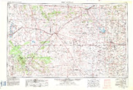
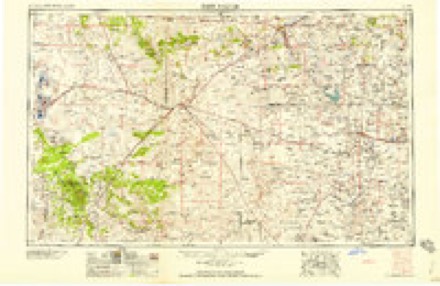
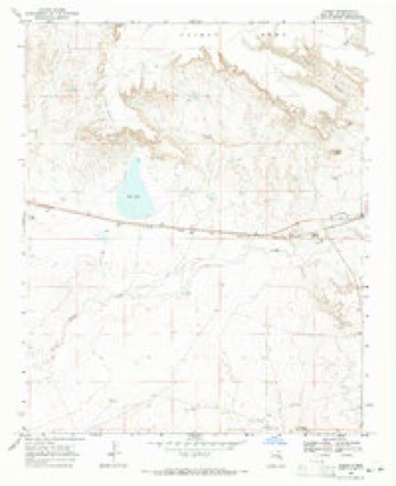
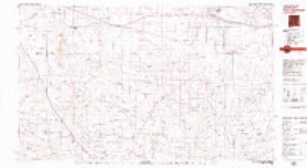
7 topographic sheets cover this place, the earliest surveyed in 1954 and the latest in 1979. It stands in the East De Baca census division. It lies in ZIP code area 88134. It lies near Long Canyon. The Survey maps it on the Taiban quadrangle. It stands 4,130 feet above sea level.
Topographic sheets covering this place
4 surveys from 7 printed sheetsMatched by testing this settlement's coordinate against the published boundary of every sheet in the United States Geological Survey's historical collection. Each opens the scanned sheet at the Survey.
- 1954 USGS Fort Sumner quadrangle1:250000, 3 printings
- 1958 USGS Fort Sumner quadrangle1:250000
- 1968 USGS Taiban quadrangle1:24000, 2 printings
- 1979 USGS Fort Sumner quadrangle1:100000
Fires near this place
20 since 1993Regional context, not property-specific evidence. The federal wildfire occurrence database lists 20 fires within 5 miles of Taiban between 1993 and 2016, burning about 6,254 acres in total. 8 started naturally. None was recorded as arson. Distance is straight-line from the map coordinates, so a fire counted here may appear on a neighbouring settlement's page as well.
| Reported cause | Fires |
|---|---|
| Natural | 8 |
| Missing data/not specified/undetermined | 7 |
| Equipment and vehicle use | 3 |
| Smoking | 1 |
| Power generation/transmission/distribution | 1 |
The most recent of them, most recent first, with the day each was reported and the service that recorded it.
| Date | Cause | Size | Reported by | Name on the report |
|---|---|---|---|---|
| 16 September 2010 | Natural | 30 acres | Capitan District | BUTTS |
| 6 August 2016 | Natural | 1.0 acres | Capitan District | CEDAR POST |
| 5 August 2010 | Natural | 600 acres | Capitan District | CRENSHAW |
| 3 August 2011 | Natural | 80 acres | New Mexico State Forestry Division | NORTH WOODY |
| 18 August 1994 | Missing data/not specified/undetermined | 2,500 acres | New Mexico State Forestry Division | MITCHELL |
| 12 August 2005 | Natural | 350 acres | New Mexico State Forestry Division | BOMBIN RANGE |
| 4 July 2001 | Equipment and vehicle use | under an acre | New Mexico State Forestry Division | WILCOX |
| 25 July 2011 | Natural | 500 acres | New Mexico State Forestry Division | BLACK HAT |
Mines and quarries near this place
1 within 5 milesRegional context, not property-specific evidence. The federal mineral resources record lists 1 working within 5 miles of Taiban: 1 past producer. None of them still produces. What was taken out: Sand and Gravel, Construction. Distance is straight-line from the map coordinates, so a quarry counted here may appear on a neighbouring settlement's page as well.
| Where | Site | Commodity | Status | Recorded |
|---|---|---|---|---|
| Unnamed Gravel Pit | Sand and Gravel, Construction | Past Producer |
Storms near this place
29 since 1998Regional context, not property-specific evidence. The National Weather Service names Taiban in 29 storm reports between 1998 and 2025: 17 hail, 6 thunderstorm wind, 5 flash flood, 1 flood. No death or injury is recorded in these reports. Each account below is quoted exactly as the forecast office filed it, from the NOAA Storm Events Database, and each date opens the federal record of that event.
| When | Event | Place named | Harm | What the report says |
|---|---|---|---|---|
| June 2017 | Thunderstorm Wind | Taiban | $50,000 | Several roadways signs along U.S. Highway 60 between Tolar and Taiban were blown away due to severe winds. |
| May 2015 | Flash Flood | Taiban | $50,000 | Spotter reported several arroyos were overflowing their banks and washing out numerous roads. State Road 294 was closed due to flooding near junction with U.S. Highway 60 for several hours after causative event. Most of the flooding subsided by 3 am which allowed some roads to become passable. No damage was reported with this flooding. |
| June 2025 | Thunderstorm Wind | Taiban | - | A trained spotter in Taiban along U.S. 60 reported estimated wind gusts of 60 mph from a cluster of severe thunderstorms. |
| June 2025 | Hail | Taiban | - | A trained spotter along NM 294 south of Taiban observed a few golf ball sized hail among lots of pea size hail. |
| May 2023 | Flash Flood | Taiban | - | A storm chaser reported a foot of fast moving water crossing NM Highway 252 at this location. No damages were reported. |
| May 2017 | Hail | Taiban | - | Quarter size hail. |
| September 2017 | Flash Flood | Taiban | - | State highway 294 closed due to flash flooding between mile markers 0 and 15. |
| June 2017 | Thunderstorm Wind | Taiban | - | Wind gust near 70 mph with dime size hail. |
| October 2017 | Flash Flood | Taiban | - | Flash flooding over several roadways around De Baca County, including state road 294 at Taiban Creek. |
| May 2015 | Thunderstorm Wind | Taiban | - | Trained spotter estimated 60 mph wind gusts from severe storm. The winds knocked fruit off nearby tree, but no other damage was reported. |
| May 2015 | Hail | Taiban | - | Chaser reported quarter size hail along state road 294. |
| May 2015 | Hail | Taiban | - | Trained spotter reported penny sized hail. |
| June 2015 | Thunderstorm Wind | Taiban | - | Observer reported strong wind gust seen all year. No damaged reported but lots of tumbleweeds and dirt blew around. |
| May 2015 | Flash Flood | Taiban | - | Heavy rain caused all of the creeks to overflow their banks and washout a few roads. The spotter measured 3.5 inches of rain caused this flooding. Power was out for a while before returning around 945 am. No other damage was reported. |
| October 2015 | Hail | Taiban | - | Pea to ping pong size hail. |
| October 2015 | Hail | Taiban | - | Twitter photo showed roughly tennis ball size hail near Taiban. No reported damage. |
| September 2013 | Flood | Taiban | - | NM 294 closed due to flooding. |
| July 2025 | Hail | Taiban | - | no account filed |
| July 2024 | Thunderstorm Wind | Taiban | - | no account filed |
| October 2015 | Hail | Taiban | - | no account filed |
| February 2009 | Hail | Taiban | - | no account filed |
| July 2009 | Hail | Taiban | - | no account filed |
| July 2009 | Hail | Taiban | - | no account filed |
| June 2008 | Hail | Taiban | - | no account filed |
| May 2005 | Hail | Taiban | - | no account filed |
| May 2005 | Hail | Taiban | - | no account filed |
| June 2002 | Hail | Taiban | - | no account filed |
| June 2000 | Hail | Taiban | - | no account filed |
| June 1998 | Hail | Taiban | - | no account filed |
Newspapers printed here
580 digitised pages1 paper published in this town, digitised by the Library of Congress and free to read: 138 issues, 580 pages. Every page is searchable, so a name or a street can be looked for directly in what the town printed about itself at the time.
| Newspaper | Published |
|---|---|
| Taiban Valley News | 19?? to 1922 |
What the paper printed
4,834 wordsFront pages of the local paper, read from the Library of Congress scans: 5 issues spread across its run from 1917 to 1921, 4,834 words in total. Each is reproduced on its own page, exactly as the recogniser returned it.
These pages read less well than anything else here, and the number is worth stating: about three words in four come through cleanly, against nine in ten for the building records. An 1896 broadsheet sets eight-point type in seven columns on microfilm, which is the hardest thing in this archive to read by machine. We tested our own recognisers against the Library's and they were not better, so the Library's text is what appears, with the wholly unreadable columns removed. Read it as a guide to what the paper covered, and follow the link to the scan before quoting anything.
| Issue | Paper | Length |
|---|---|---|
| 1917-06-15 | Taiban Valley News | 1,901 words |
| 1917-07-27 | Taiban Valley News | 601 words |
| 1917-09-07 | Taiban Valley News | 642 words |
| 1917-10-26 | Taiban Valley News | 658 words |
| 1921-12-30 | Taiban Valley News | 1,032 words |
Nearest settlements
The eight closest, with where each one stands in the county. Distances are straight-line, computed from the Geographic Names Information System coordinates.
| Map | Place | Distance | Sheets |
|---|---|---|---|
| La Lande | 6.6 miles | 7 | |
| Fort Sumner | 12.7 miles | 7 | |
| Canton (historical) | 15.5 miles | 7 | |
| Agudo | 15.8 miles | 7 | |
| Ricardo (historical) | 20.2 miles | 7 | |
| Lake Sumner | 23.2 miles | 7 | |
| Guadalupe | 23.4 miles | 7 | |
| Salado | 23.6 miles | 7 |
Elsewhere
Matched on this settlement's Geographic Names Information System number rather than its name, so it cannot be a different place of the same name in another state.
| Wikipedia article on Taiban | An encyclopaedic summary. Its text is share-alike, so it is linked here rather than copied. |
| Wikidata item Q7675884 | The structured record the population and elevation above come from. Public domain (CC0). |
Provenance
This settlement is recorded in the Geographic Names Information System as feature 899942. The sheet list is computed by point-in-boundary test against the United States Geological Survey's historical topographic inventory. Both are works of the United States government and carry no copyright under 17 U.S.C. 105.
Wildfire. Short, Karen C. 2022. Spatial wildfire occurrence data for the United States, 1992-2020 [FPA_FOD_20221014]. 6th Edition. Fort Collins, CO: Forest Service Research Data Archive. https://doi.org/10.2737/RDS-2013-0009.6 Collected with United States Government funding and usable without additional permissions or fees.
Mines and quarries. USGS Mineral Resources Data System (MRDS) https://mrdata.usgs.gov/mrds/ A work of the United States government, no copyright under 17 U.S.C. 105.
Storms. NOAA National Centers for Environmental Information, Storm Events Database https://www.ncei.noaa.gov/stormevents/ A work of the United States government, no copyright under 17 U.S.C. 105. Narratives are quoted verbatim from the National Weather Service report and are not edited or summarised.