 Block
From the record
6 National Register listings published here.
Sources: the National Register database, National Park Service
52 topographic sheets and 7 fire insurance atlases across 2 places.
6 National Register listings published here.
Sources: the National Register database, National Park Service
Taken for the Office of War Information and the Farm Security Administration, who photographed the country between 1935 and 1944. Works of United States government photographers, with no known restriction on use. Each opens its catalogue record.
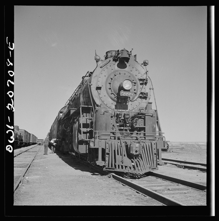

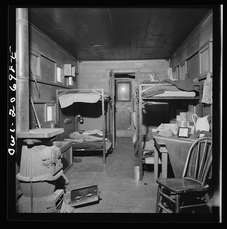
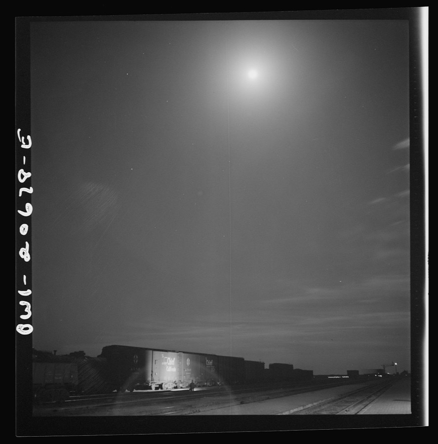
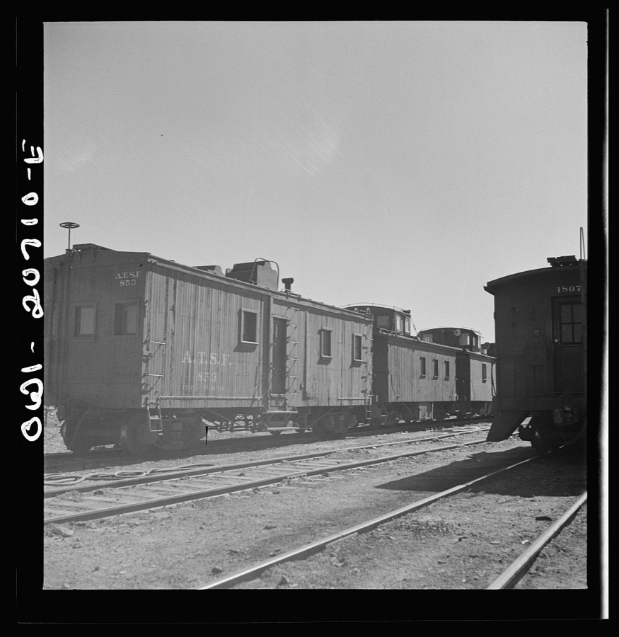
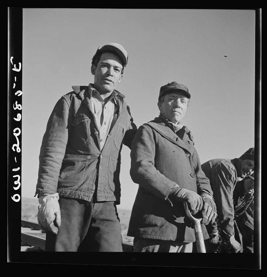

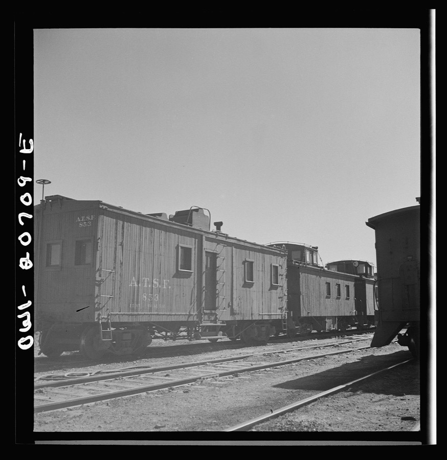
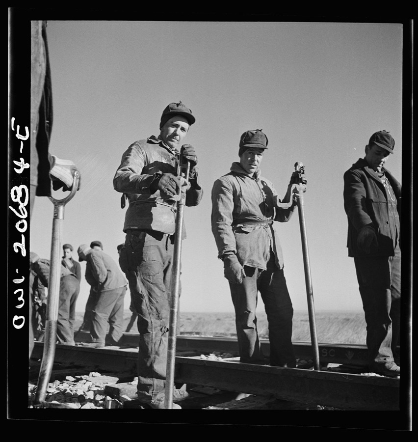

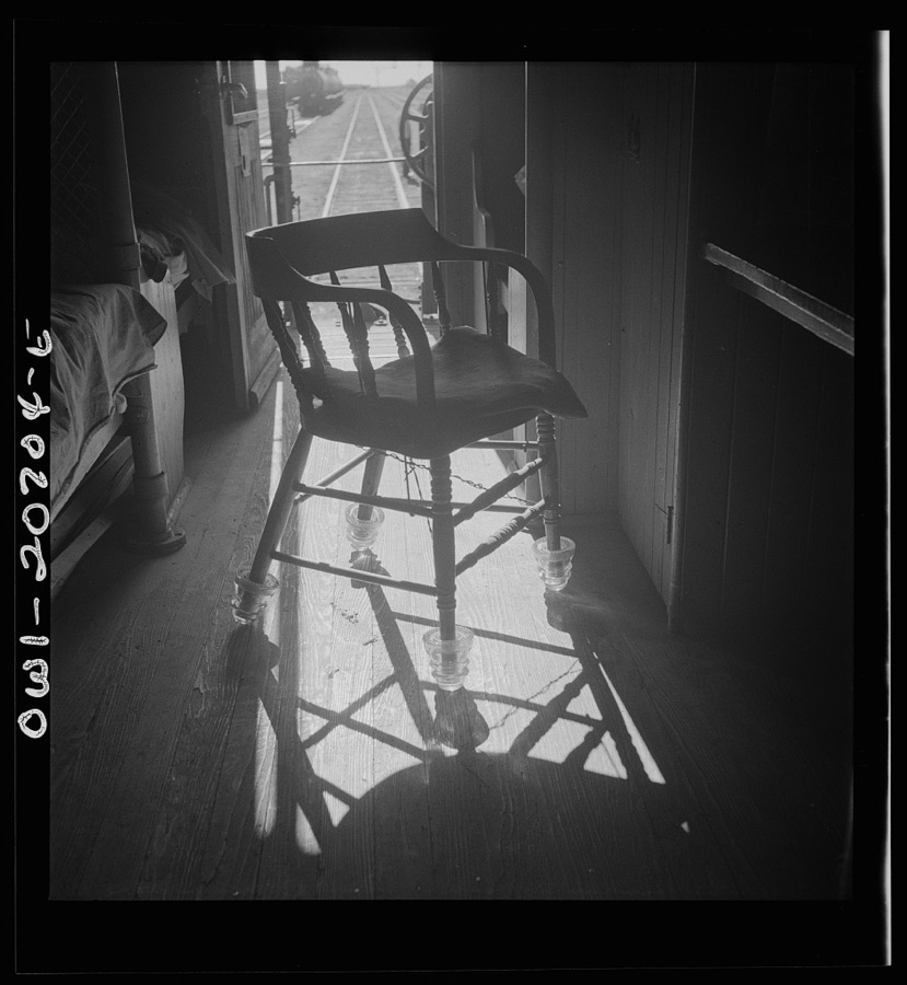
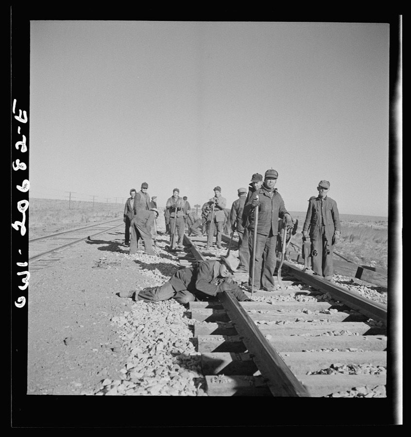
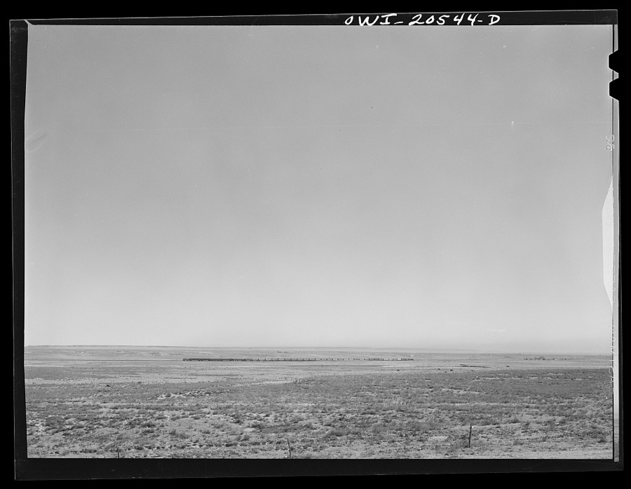

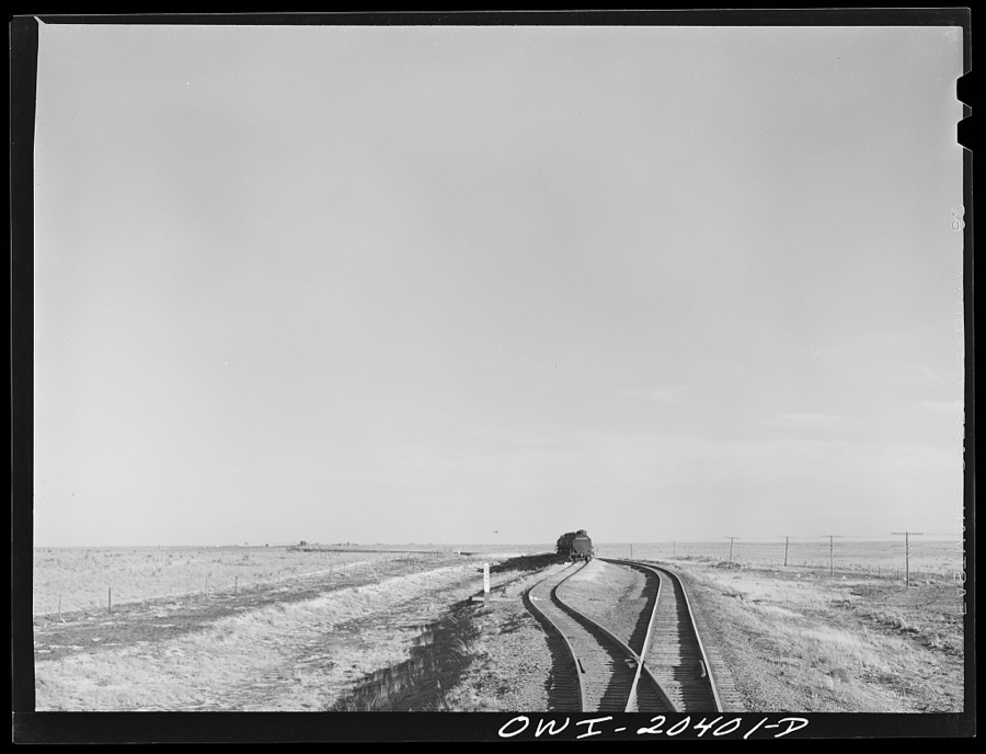
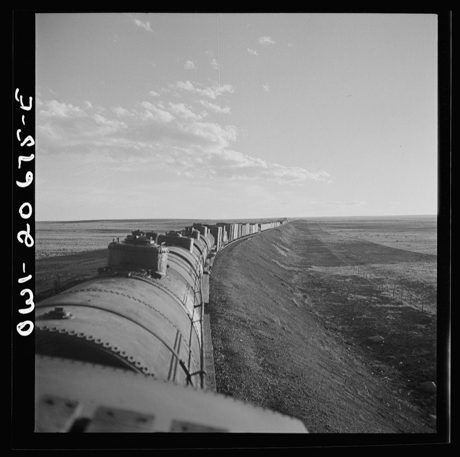
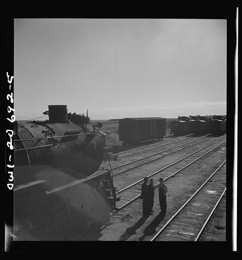
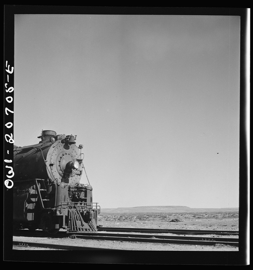
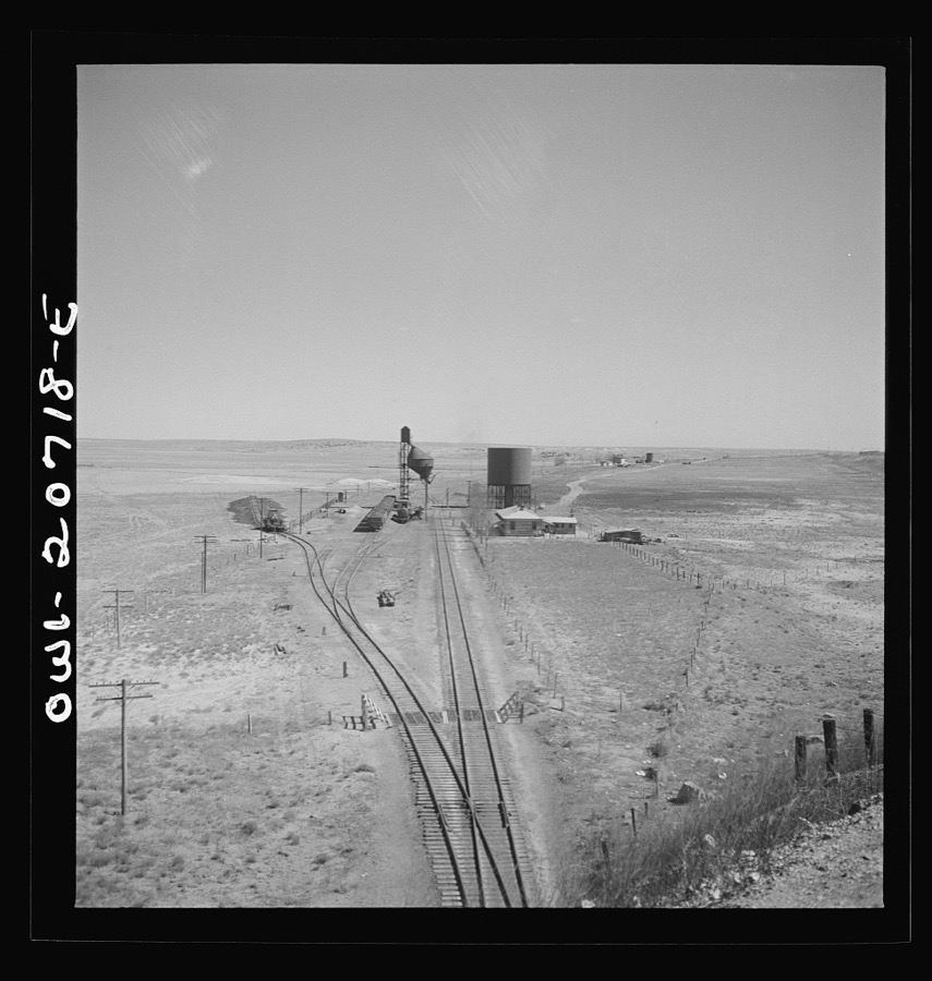
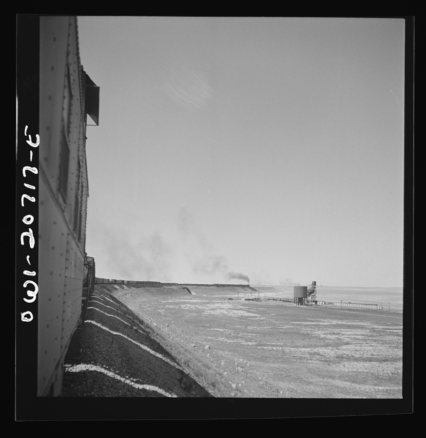
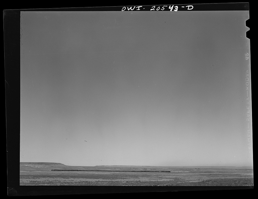
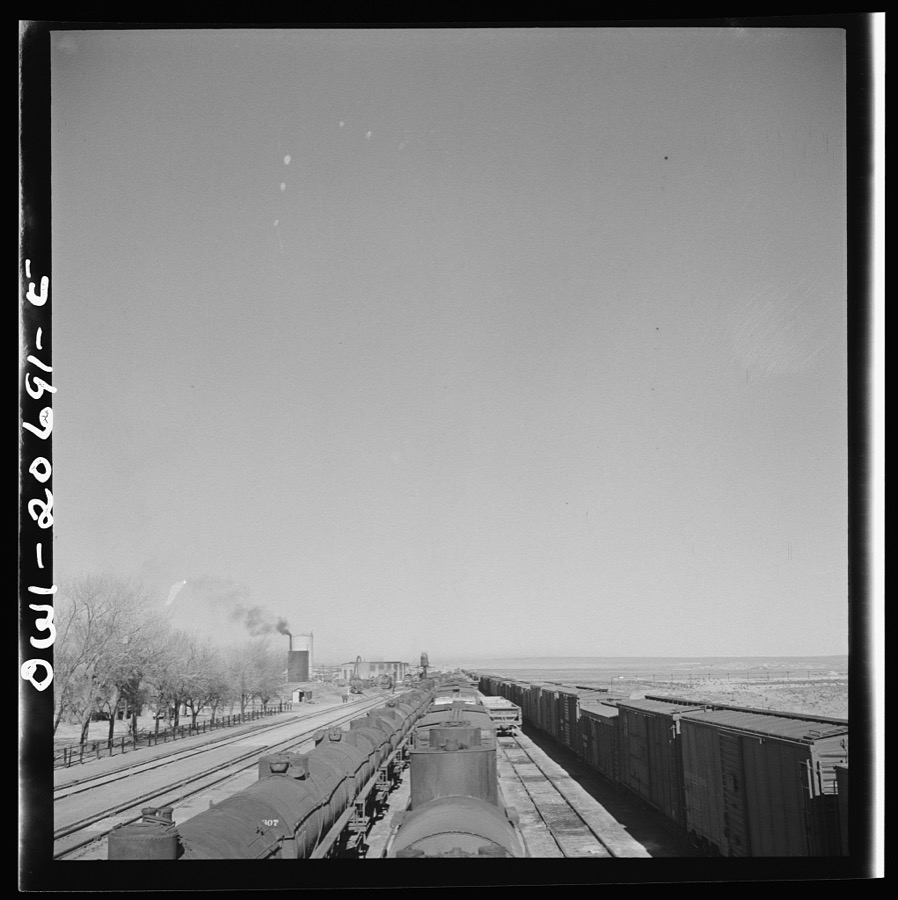
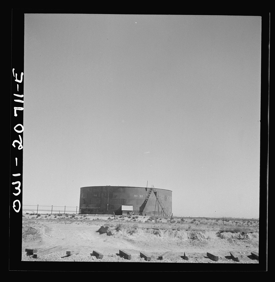
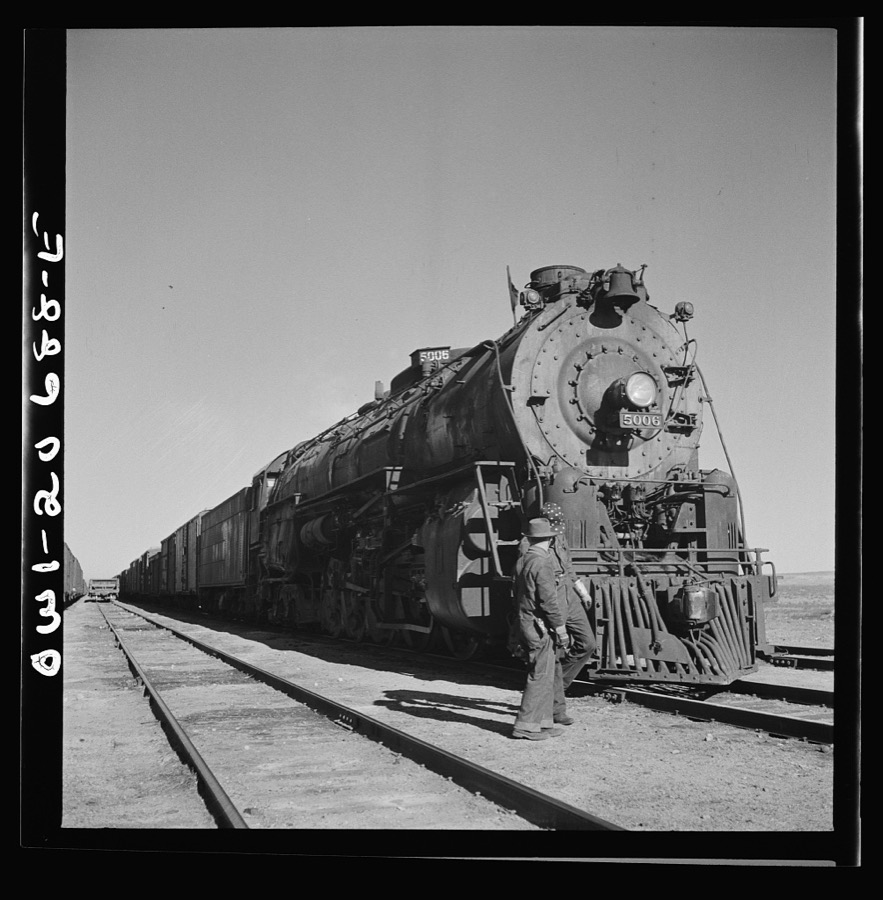
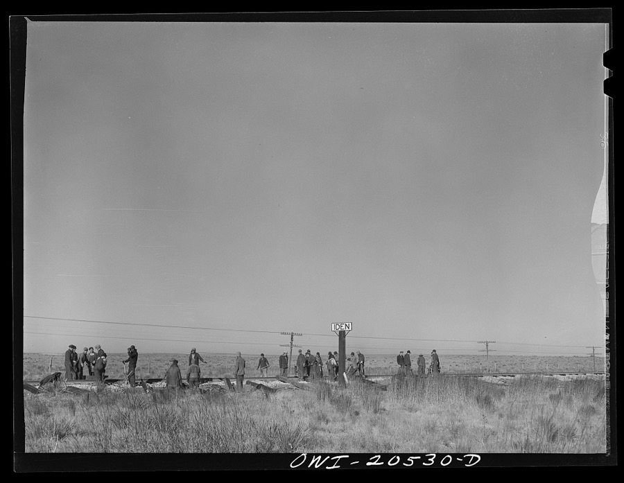
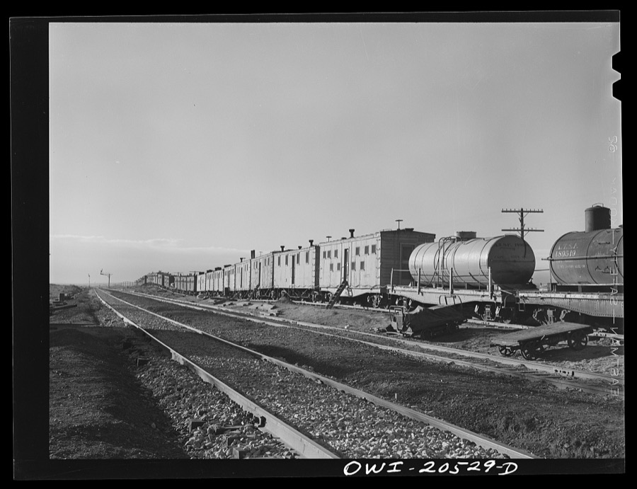
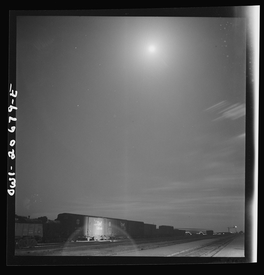
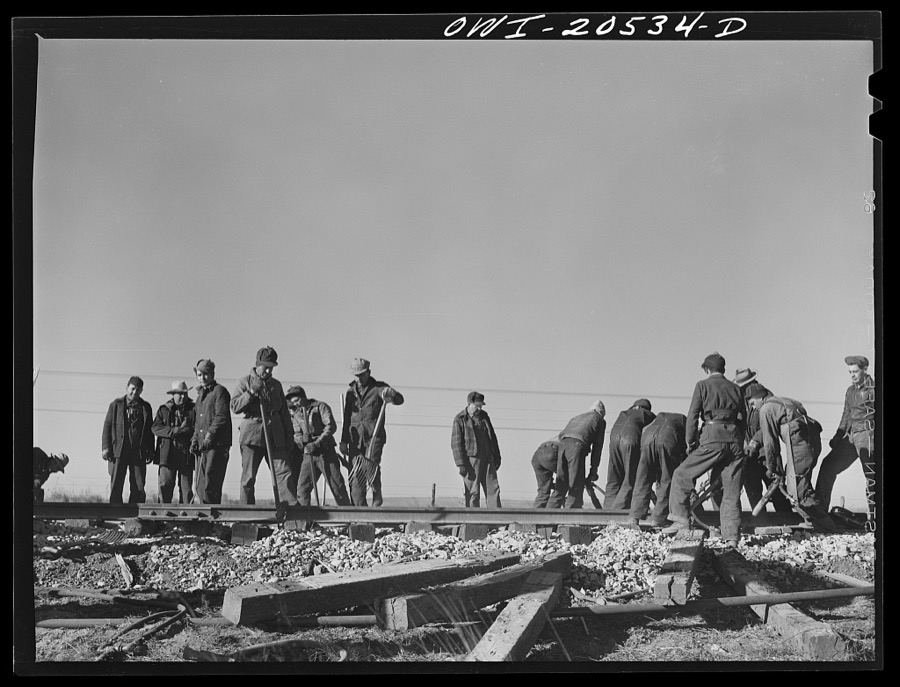
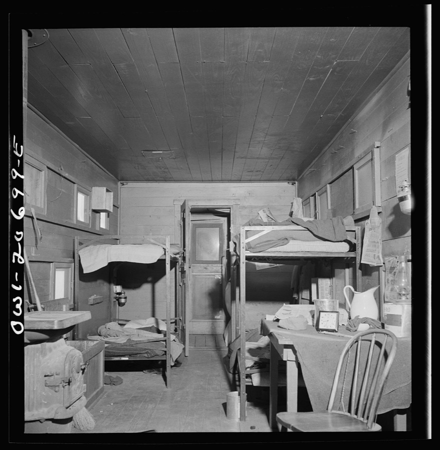

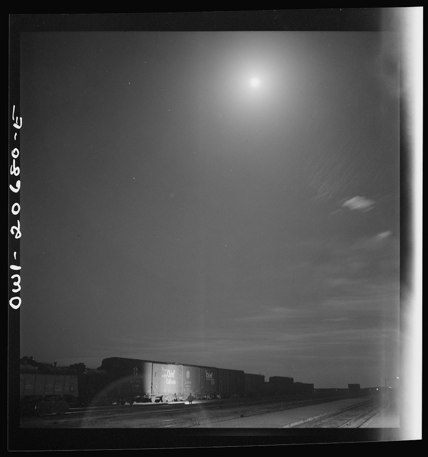
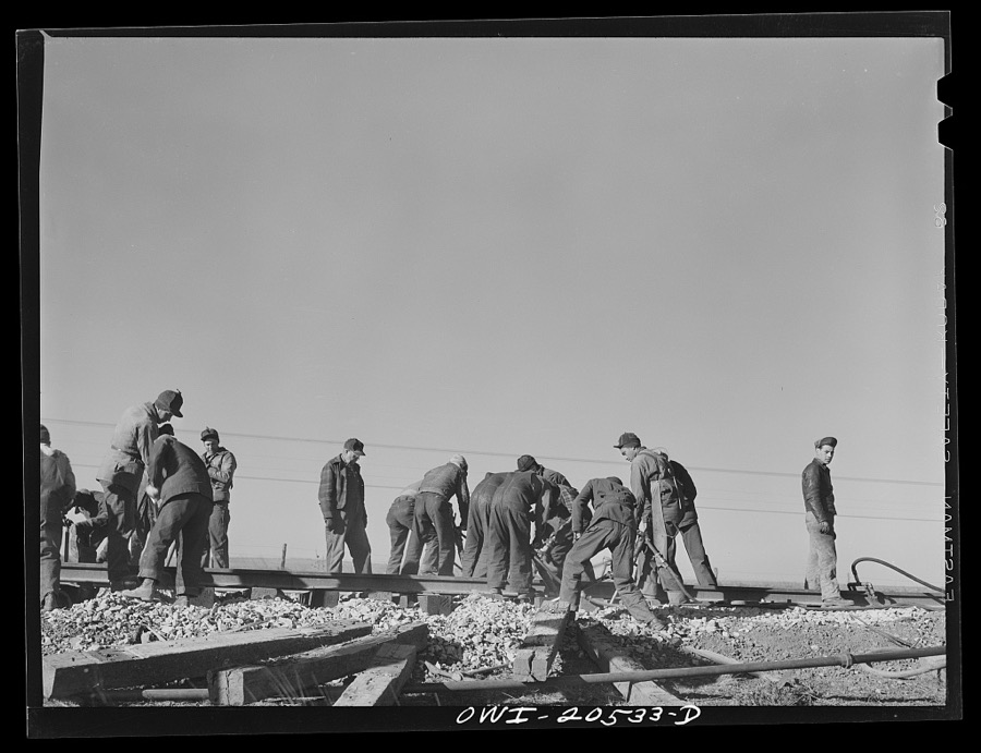
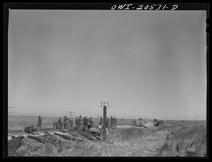

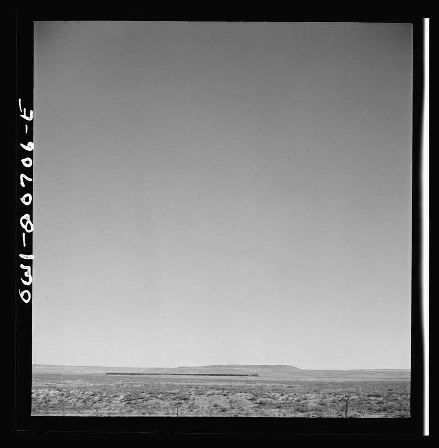
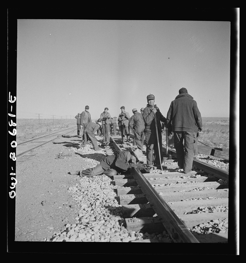


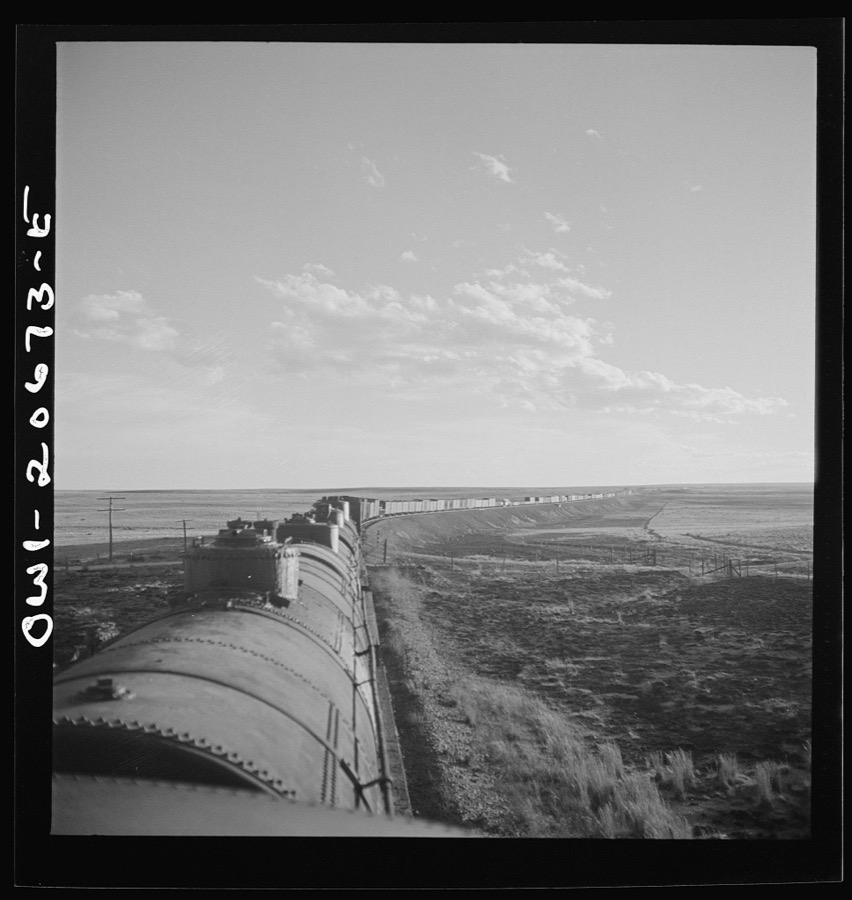
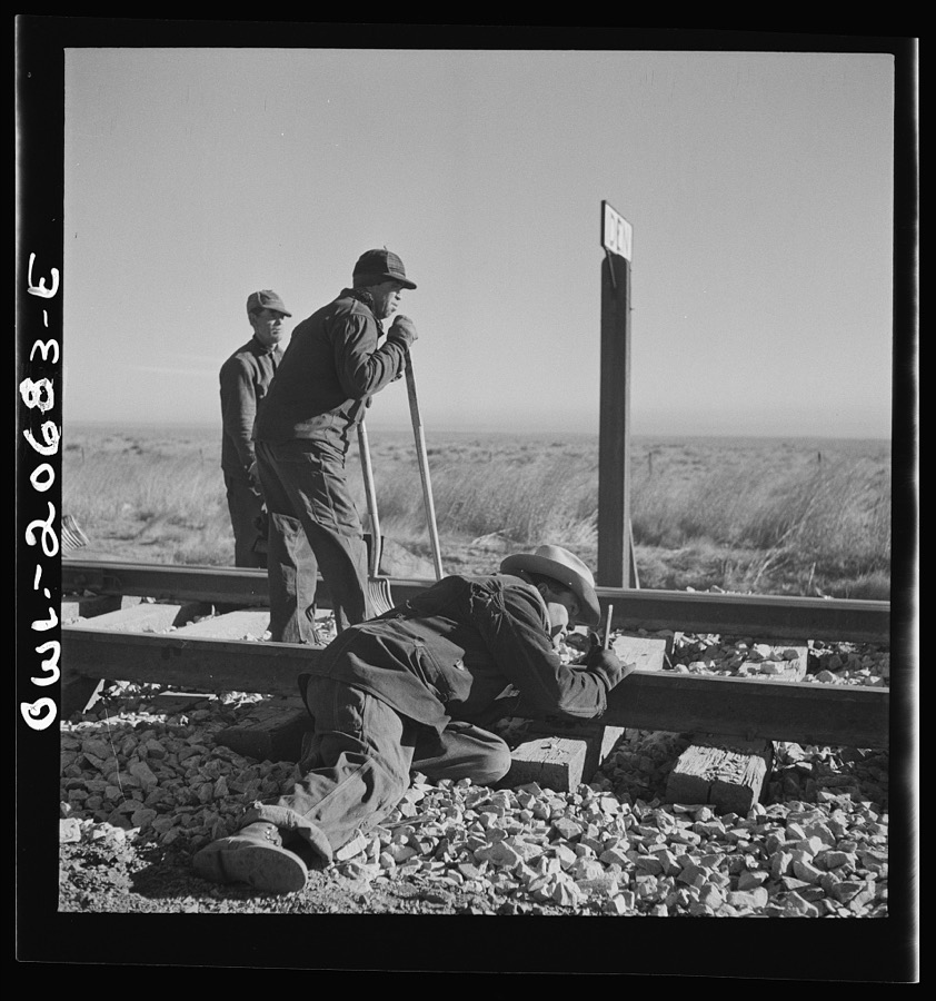
Every property in this county listed on the National Register of Historic Places, with the year it was listed and the federal nomination document.
| Photograph | Property | Type | Listed | Reference |
|---|---|---|---|---|
| Abandoned Route 66-Cuervo to NM 156 | structure | 1993 | 93001206 | |
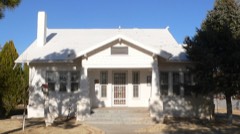 | Jesus M. Casaus House | building | 1982 | 82003324 |
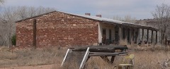 | Alexander Grzelachowski House and Store | building | 1993 | 93000570 |
 | Guadalupe County Courthouse in Santa Rosa | building | 1987 | 87000890 |
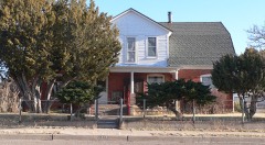 | Julius J. Moise House | building | 1984 | 84000633 |
 | Park Lake Historic District | district | 1996 | 96000267 |
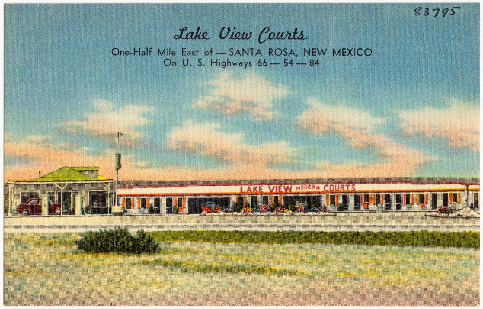
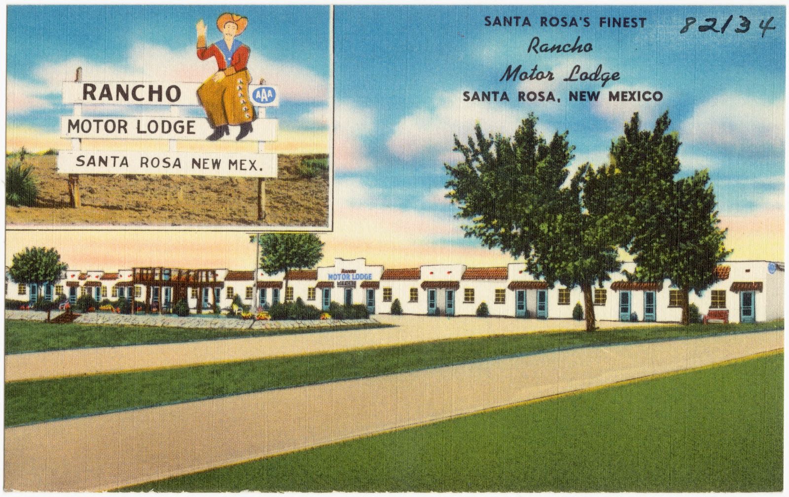
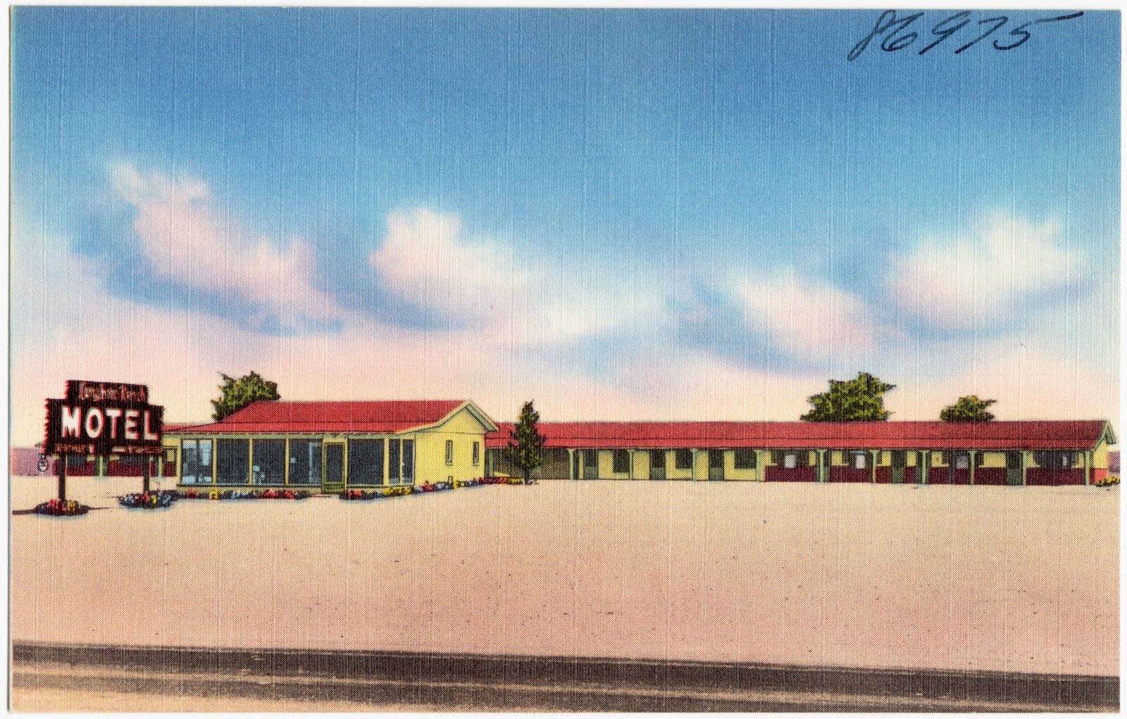
Selected from the Digital Public Library of America's 4 image records catalogued for this county. Every one shown here carries a public-domain status or a licence that permits reuse on a site that carries advertising; non-commercial, share-alike and restricted images are excluded. The selection is spread across the county's towns (at most eight per town), so no single institution's bulk upload crowds out the rest. Each opens the holding library's record, and the complete set at the Digital Public Library of America is one click away.

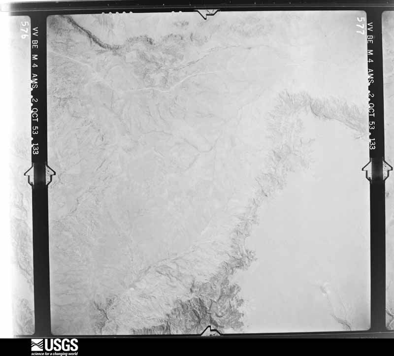
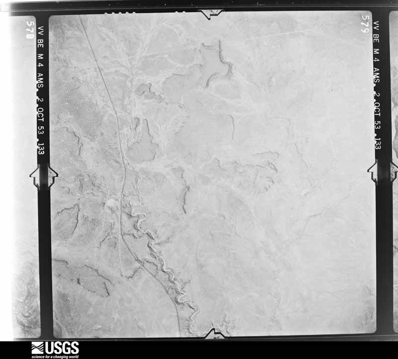
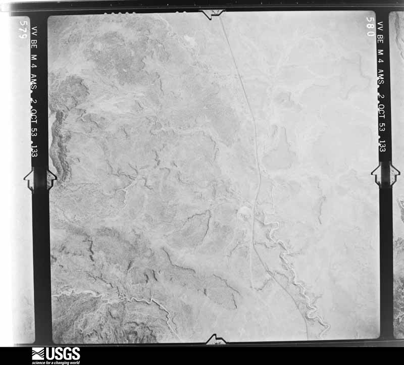
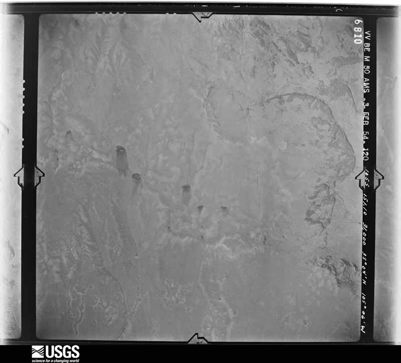
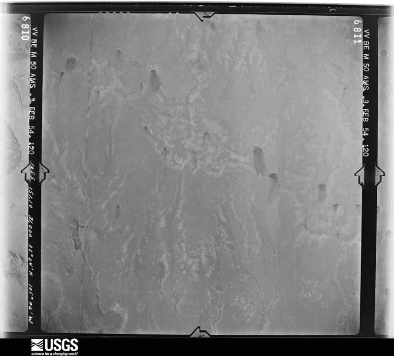
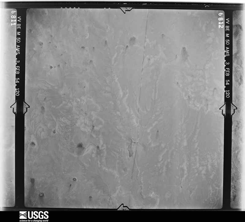
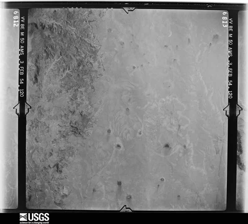
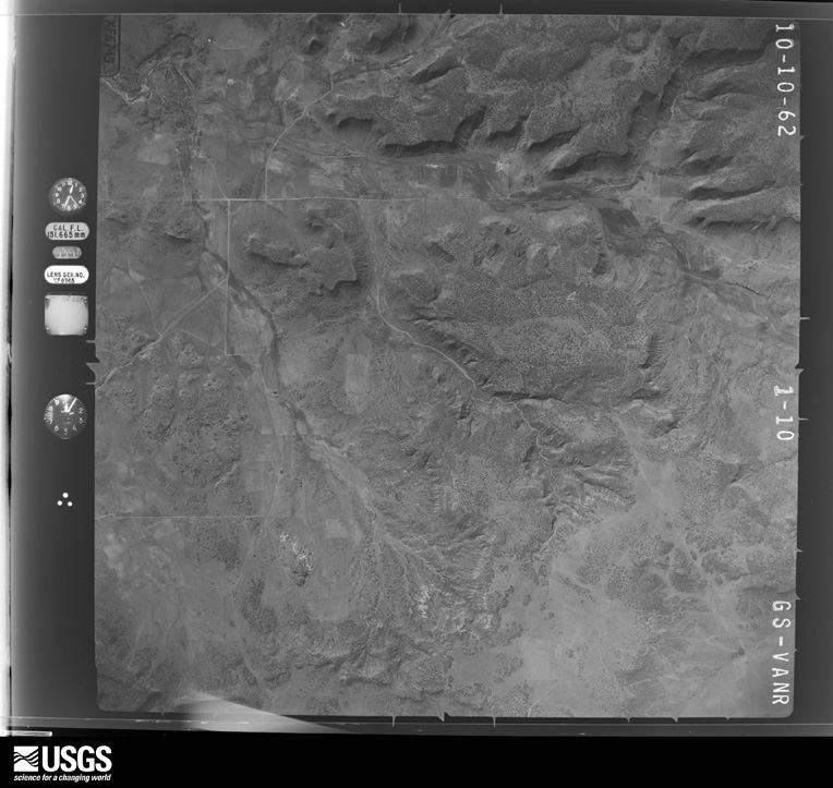
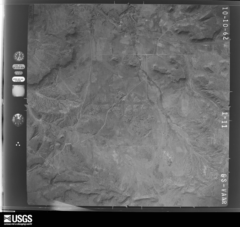
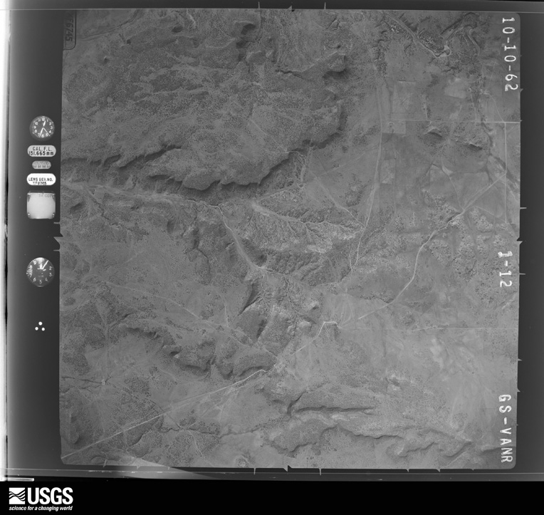
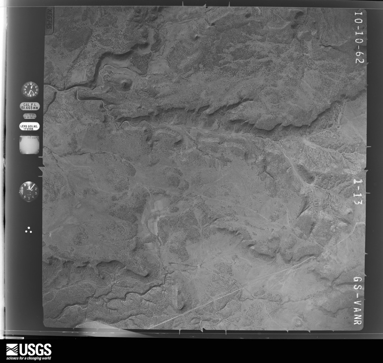
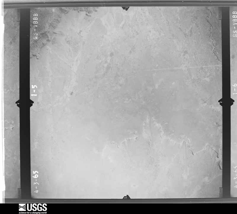
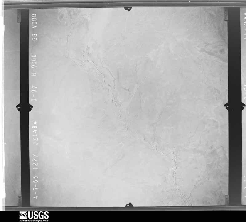
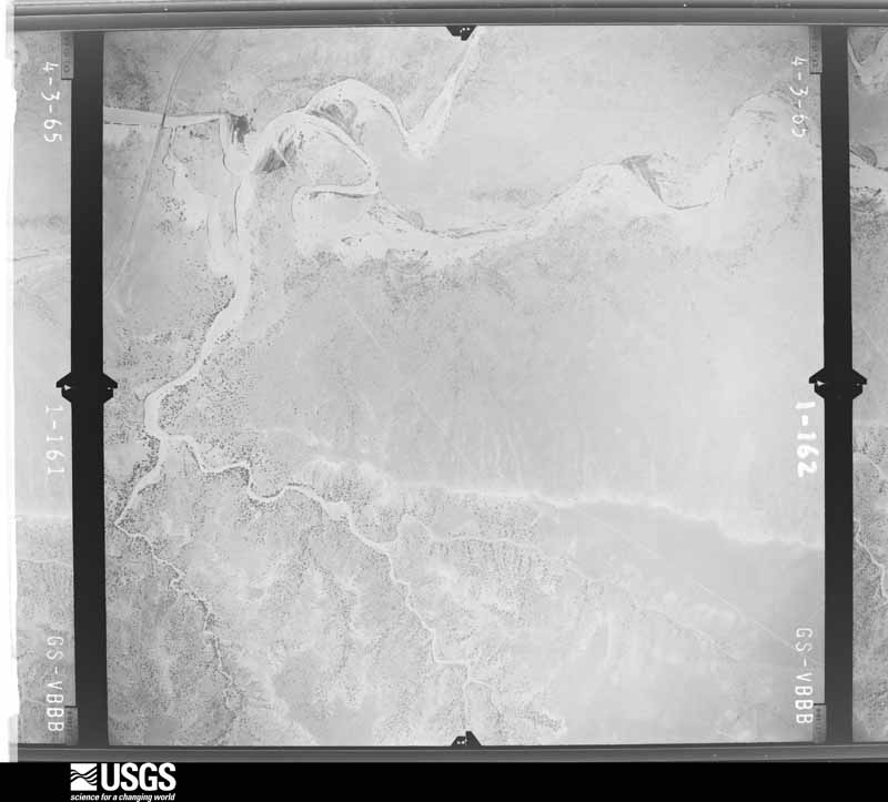
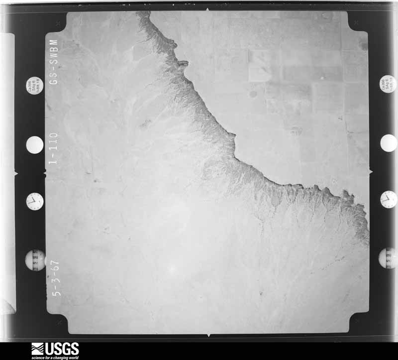
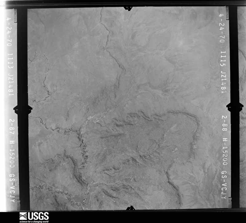
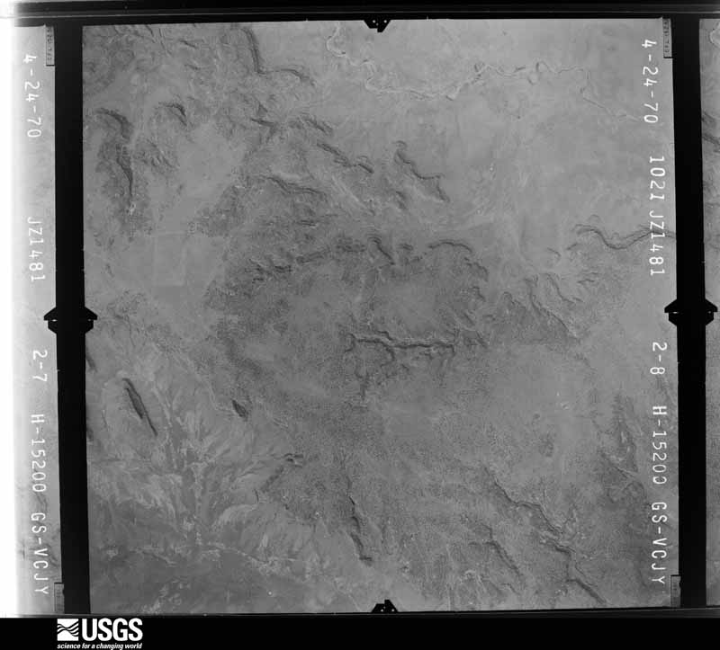
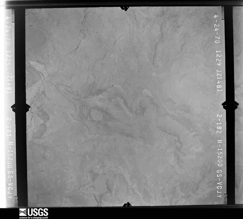
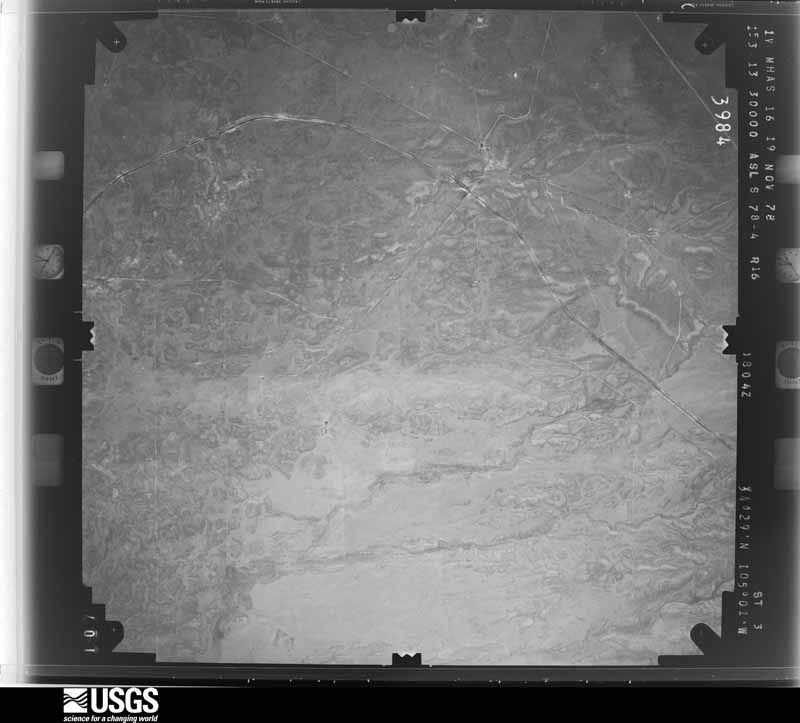
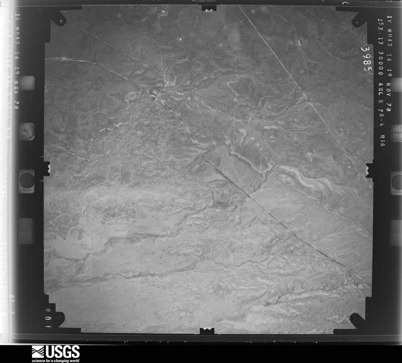
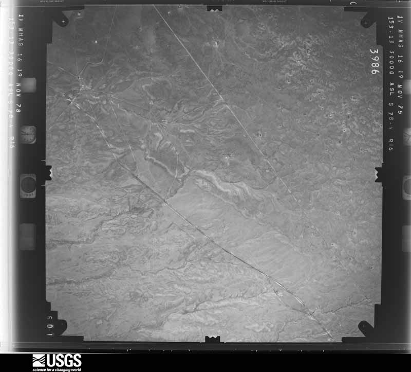
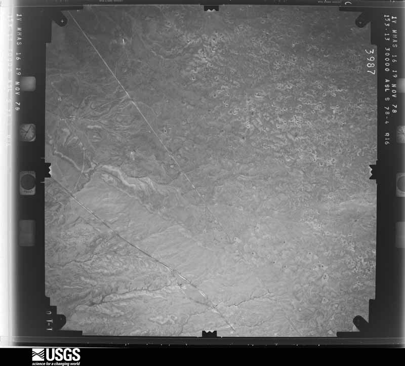
Flown by the U.S. Geological Survey between 1937 and 1989, the Aerial Photo Single Frames collection is the definitive mid-century view of the land: fields, roads and rivers as the camera saw them. The Survey holds 2,167 frames inside the rectangle that bounds this county; the 40 frames below were taken over the county itself, chosen across the decades of flights (at most four a year from that rectangle), so one flight cannot crowd out the rest. The full set is free to browse and download at EarthExplorer under the dataset Aerial Photo Single Frames.





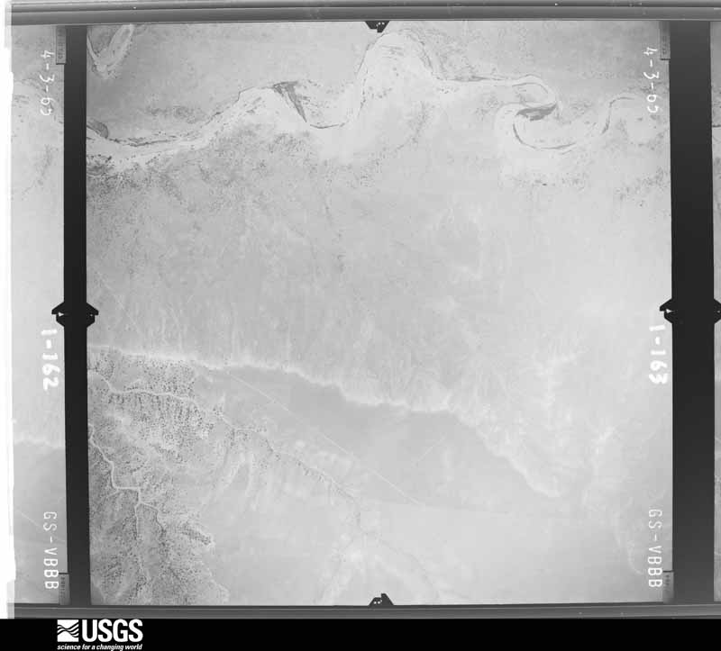
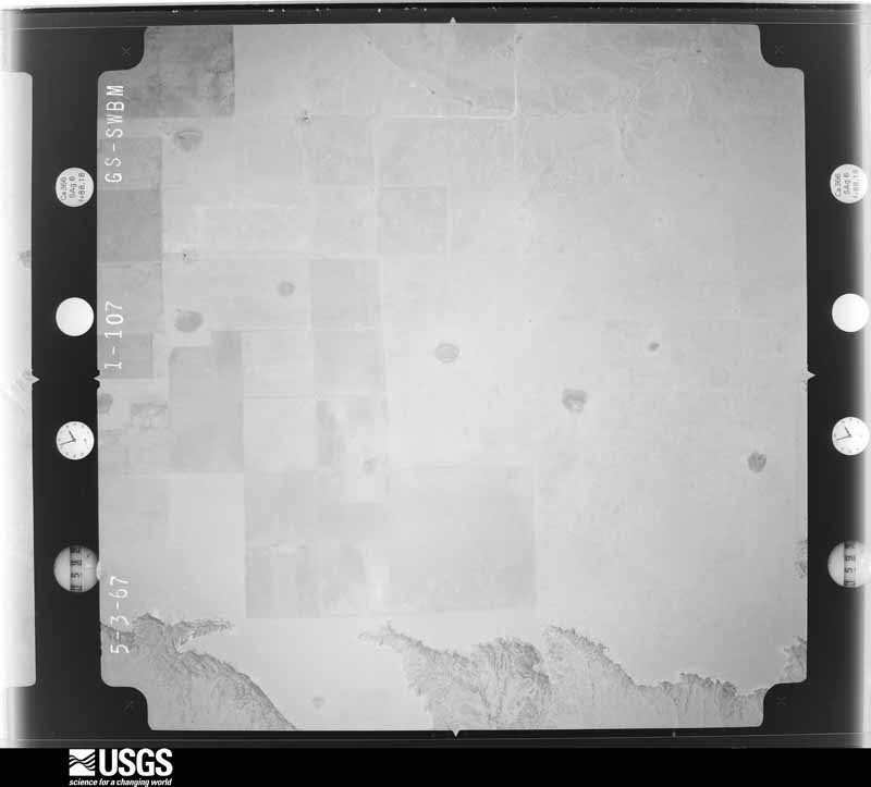
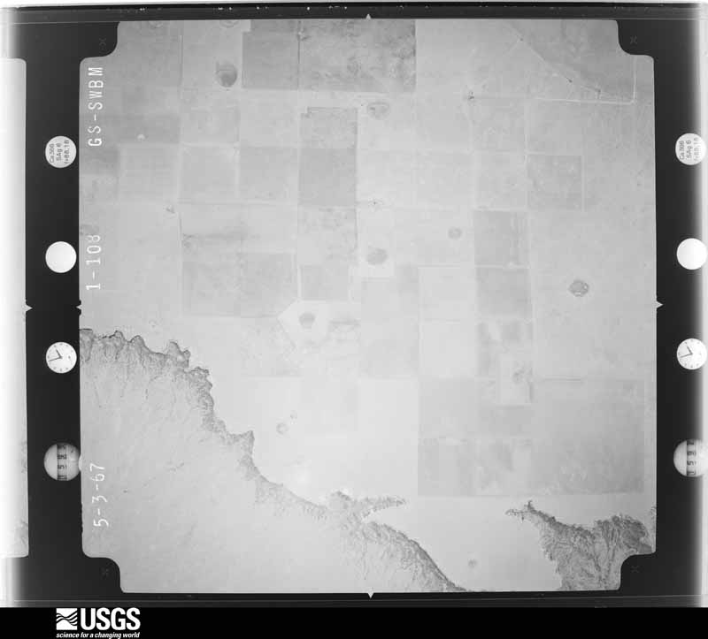
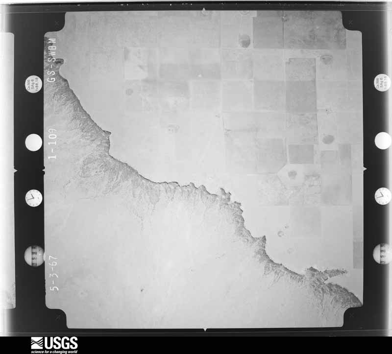

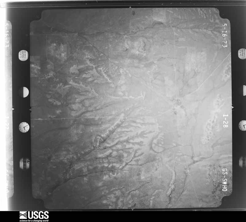
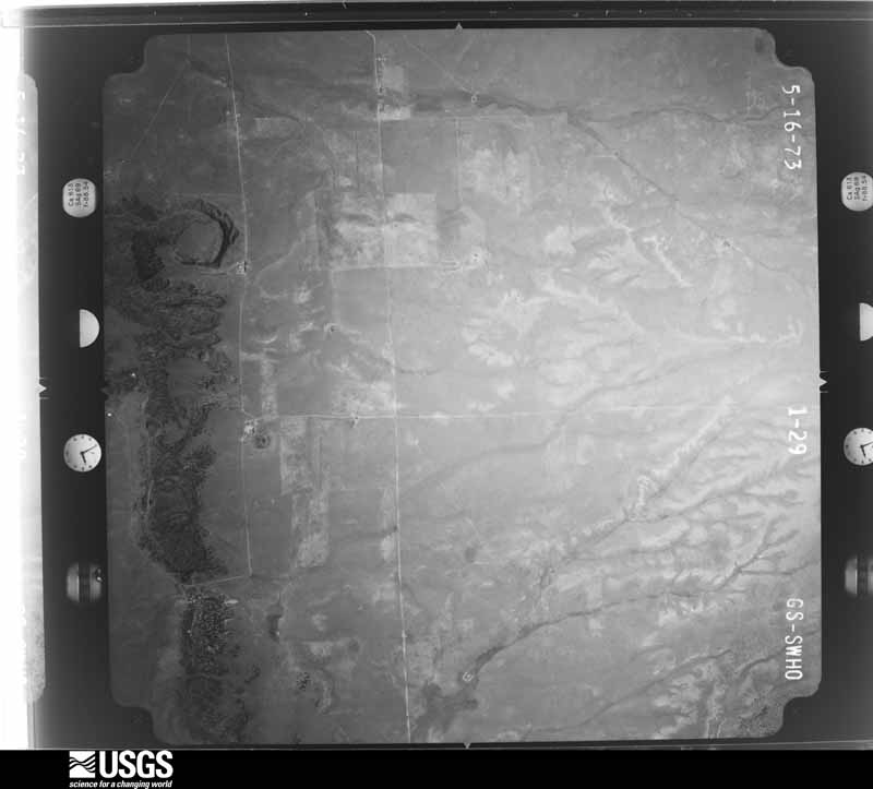
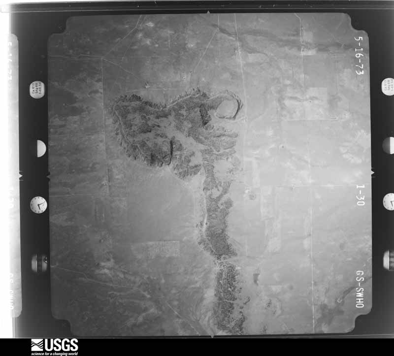
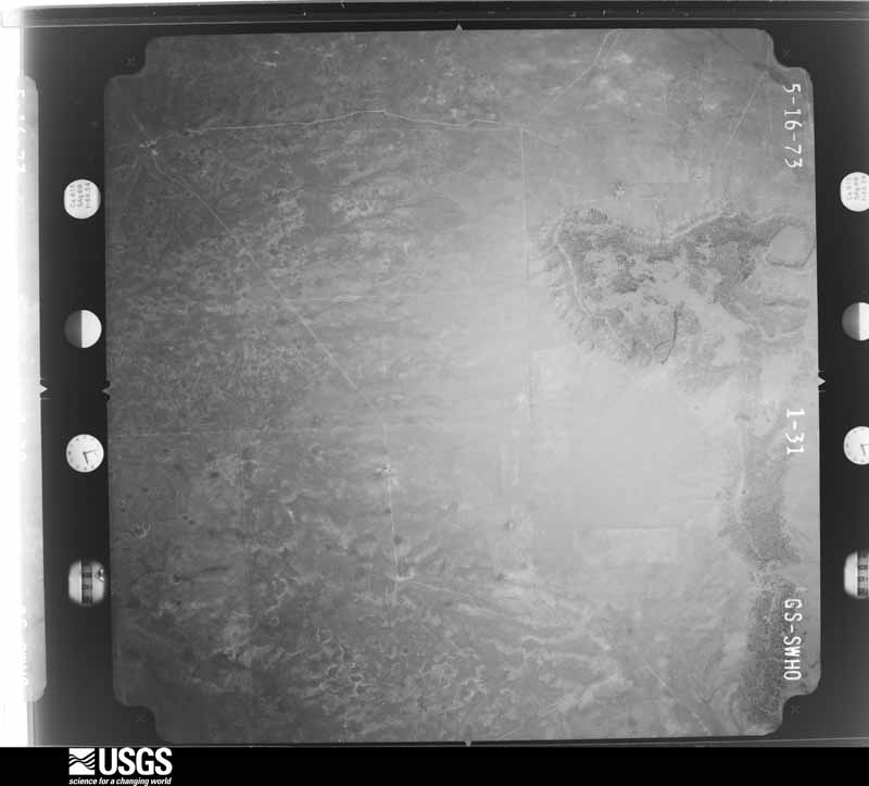




The thermometers that kept this county's weather, and the gages that measured the flow of its streams, as the federal records hold them. The extremes below are measured values from those records, not estimates.
Who lived here in 1950, one enumeration district at a time, as the Census Bureau described each district. Each row opens its official National Archives result, with Population Schedules and ED Maps available there.
Every wildfire the federal occurrence database records inside this county: 290 of them, burning about 184,873 acres. 95 started naturally and none was recorded as arson. Each settlement page carries the fires within five miles of it.
| Reported cause | Fires |
|---|---|
| Missing data/not specified/undetermined | 118 |
| Natural | 95 |
| Equipment and vehicle use | 22 |
| Smoking | 21 |
| Railroad operations and maintenance | 13 |
| Debris and open burning | 12 |
| Power generation/transmission/distribution | 3 |
| Recreation and ceremony | 3 |
| Other causes | 1 |
| Fireworks | 1 |
| Misuse of fire by a minor | 1 |
The five largest, by the area the report gives. None of them was recorded as arson.
| Date | Cause | Size | Reported by | Name on the report |
|---|---|---|---|---|
| 16 March 1997 | Missing data/not specified/undetermined | 38,000 acres | New Mexico State Forestry Division | PEREZ |
| 16 March 2000 | Railroad operations and maintenance | 12,800 acres | New Mexico State Forestry Division | MILAGRO |
| 15 April 2006 | Missing data/not specified/undetermined | 8,000 acres | New Mexico State Forestry Division | LUMBRE |
| 19 March 1992 | Missing data/not specified/undetermined | 8,000 acres | New Mexico State Forestry Division | FRONTIER |
| 25 June 2002 | Natural | 7,420 acres | New Mexico State Forestry Division | TEJON |
| 7 May 2011 | Equipment and vehicle use | 6,159 acres | New Mexico State Forestry Division | MILAGRO |
| 21 May 2006 | Natural | 6,000 acres | New Mexico State Forestry Division | BORICA |
| 9 March 2000 | Missing data/not specified/undetermined | 5,100 acres | New Mexico State Forestry Division | VAUGHN |
Every settlement page carries the fires within five miles of it - see the settlement index below.
The NOAA Storm Events Database holds 248 reports for this county, causing no deaths, no injuries and about $2,322,810 in recorded property damage. Each settlement page carries the reports that name it.
| Kind of event | Reports |
|---|---|
| Hail | 160 |
| Thunderstorm Wind | 36 |
| Flash Flood | 20 |
| Tornado | 14 |
| Heavy Rain | 6 |
| Flood | 6 |
| Funnel Cloud | 4 |
| Lightning | 1 |
| Strong Wind | 1 |
The most serious of them, by death, then injury, then recorded damage. The accounts are quoted exactly as the forecast office filed them.
| When | Event | Place named | Harm | What the report says |
|---|---|---|---|---|
| September 2013 | Flood | Puerto De Luna | $1,500,000 | Law enforcement and emergency management reported major flooding along El Rito Creek and at Power Dam. NM 91 was closed between mile markers 0 and 9. The El Rito Creek South Bridge was nearly topped. Large chunks of concrete from Power Dam were destroyed. A railroad bridge over El Rito Creek was compromised and engineers closed rail traffic to assess the bridge. Extensive damage was done to nearby Park Lake Trail. A bridge carrying a water line to Puerto de Luna was extensively damaged. Low lying areas near Brush Dam were flooded in Puerto de Luna. Extensive road damaged has occurred to city and county roads. |
| August 2015 | Flash Flood | Santa Rosa | $120,000 | State police had to pull 3 vehicles out of mud on Highway 91 created by the heavy rains. Reilly Road between Highway 91 and Blue Hole was later closed as it was covered by flash flood water. These waters also went into the nearby senior center. |
| June 2023 | Flash Flood | Santa Rosa | $100,000 | Flash flooding reported across Santa Rosa via NM State EOC and County EM. Extent of impacts and potential damages are unknown. |
| July 2015 | Thunderstorm Wind | Cuervo | $100,000 | Large wooden doors were blown off a barn. Several trees had severe damage. A plastic roof on a greenhouse was blown off. A metal tail of a windmill was wrapped around the wheel base. |
| July 2013 | Hail | Santa Rosa | $100,000 | Nickel to golfball sized hail pounded the Santa Rosa area resulting in major damage. Partial roof collapses and broken skylights were common throughout the central and western portions of the community. Smaller hail accumulated to depths of up to two feet in areas. Snow plows were required to clear roads. Many local residents and motorists described the scene as snow in July. |
| July 1996 | Thunderstorm Wind | Anton Chico | $70,000 | no account filed |
| August 2015 | Thunderstorm Wind | Santa Rosa | $60,000 | State police reported thunderstorm winds causing damage to the roofs of several buildings along old route 66 in the center of town. |
| July 2014 | Flash Flood | Puerto De Luna | $50,000 | Five to 6 feet of water from the Alamogordo Creek drainage over Highway 156. Pavement was stripped. Half a mile of fence line was tore out due to the flooding. A bunkhouse located near the water crossing took on water damage and water filled up the basement. Two water retention ponds were over-topped. Part of the Pacific Railroad tracks were left dangling because the base was washed out from the heavy rains. |
| September 2013 | Flood | Santa Rosa | $50,000 | State EOC Situation Report #2 reported Blue Hole Road closed due to flooding. The Santa Rosa golf course and a pump house flooded with extensive damage. Entire golf course was under water. Flooding was also reported near the KSRR transmitter. |
| July 2014 | Thunderstorm Wind | Anton Chico | $45,000 | A mobile home was flipped and subsequently destroyed due to strong winds from a passing severe thunderstorm. |
| August 2018 | Hail | Santa Rosa Muni Arpt | $30,000 | Hail up to the size of golf balls with strong winds broke windows out of one residence east of Santa Rosa. Damage amounts are a rough estimate. |
| July 2014 | Lightning | Santa Rosa | $30,000 | Two lightning bolts just a few seconds apart made direct hits to the TravelCenters of America just after midnight on July 16th. The strikes caused a power surge which fried circuitry and temporarily knocked 17 fuel pumps out of service. The pumps were not restored to service until the late afternoon during that day as electricians worked to repair the damage caused by the strikes. |
| June 2020 | Thunderstorm Wind | Santa Rosa | $20,000 | A semi trailer was blown over from thunderstorm winds 6 miles west of Santa Rosa. The airport in Santa Rosa reported a peak wind gust up to 60 mph around the time of the incident. Damage amounts are estimated for an overturned semi trailer with unknown contents. |
| July 2022 | Strong Wind | not stated | $10,000 | A trained spotter traveling on Interstate 40 near mile marker 286 near Santa Rosa reported that strong winds overturned a semi-truck. This was likely due to a microburst, and the nearby Santa Rosa AWOS was only reporting winds of 17 mph at the time of the accident. There was no information on injuries. Damages are estimated for the semi-truck. |
| June 2015 | Thunderstorm Wind | Santa Rosa | $10,000 | Five inch diameter tree limbs downed. Small electrical pole toppled. Some siding stripped off roof of McDonalds. |
| August 2015 | Flash Flood | Puerto De Luna | $5,000 | Spotter reported between 1 to 2 feet of flash flood waters over the Puerta de Luna Road southeast of Santa Rosa. |
| July 2009 | Thunderstorm Wind | Vaughn | $5,000 | A two foot diameter, 60 foot tall tree was blown down in the front of a police station. Winds were estimated at 60 to 70 mph. |
| August 2007 | Thunderstorm Wind | Vaughn | $4,000 | A bow echo caused damaging winds which blew down a small tree, caused roof damage to city buildings and blew down a sign at a gas station. |
| August 2015 | Hail | Pastura | $3,000 | Public reports indicate baseball size hail fell between Pastura and Vaughn along U.S. Highway 54. EM had back windshield blown out by the hail that was falling from the same storm. |
| July 2013 | Hail | Santa Rosa | $3,000 | A SKYWARN Spotter relayed a report of automobile damage due to large hail just north of Santa Rosa. Hail sizes in this area ranged from nickel to golfball sized. |
| August 1979 | Tornado (F0) | not stated | $2,500 | no account filed |
| June 2021 | Hail | Dilia | $2,000 | Multiple sources in Dilia reported nickel to quarter size hail from a severe thunderstorm tracking southward through the area. One resident of Dilia reported that the hail broke their skylight. Damages are estimated for the loss of the skylight. |
| June 2017 | Hail | Pintada | $1,000 | Hail up to the size of quarters near Milagro. Spotter reported that a family members windshield was smashed from this same storm farther to the north of this location. |
| August 1997 | Thunderstorm Wind | Newkirk | $1,000 | Trees and porch coverings were damaged by thunderstorm winds. |
| June 2024 | Thunderstorm Wind | Santa Rosa Muni Arpt | $500 | Strong winds from a severe thunderstorm broke one inch tree limbs and blew off house shingles a few miles east of Santa Rosa. |
| July 2009 | Hail | Vaughn | $500 | A wind shield was damaged on a vehicle. |
| May 1959 | Tornado (F1) | not stated | $250 | no account filed |
| June 1978 | Tornado (F2) | not stated | $30 | no account filed |
| September 1958 | Tornado (F0) | not stated | $30 | no account filed |
| April 2026 | Tornado (EFU) | Vaughn | - | Workers looking east from a wind farm field team near Corona observed a brief tornado. |
| April 2025 | Hail | Puerto De Luna | - | A trained spotter along U.S. Highway 84 5 miles east of Puerto De Luna observed quarter sized hail from a severe thunderstorm. |
| May 2025 | Thunderstorm Wind | Vaughn | - | The mesonet station a few miles southeast of Vaughn measured a 61 mph wind gust as showers moved through the area. |
| May 2025 | Thunderstorm Wind | Vaughn | - | The mesonet station a few miles southeast of Vaughn measured a peak wind gust surpassing the limits of their instrumentation of 67 mph with another wind gust of 61 mph shortly thereafter as showers moved through the area. |
| May 2025 | Thunderstorm Wind | Vaughn | - | A public station along the Union Pacific Railroad east of Vaughn measured a wind gust of 60 mph as virga showers moved through the area. |
| May 2025 | Thunderstorm Wind | San Ignacio | - | The Thompson Cattle mesonet station measured a 62 mph wind gust as showers moved through the area. |
| August 2025 | Flash Flood | Santa Rosa | - | Heavy rain from severe thunderstorms resulted in five inches of water on 8th Street near Eddy Avenue and 6 inches of water on Park Lake Drive in Santa Rosa, NM. |
| August 2025 | Thunderstorm Wind | Santa Rosa Muni Arpt | - | A peak wind gust of 68 mph was measured by the AWOS at the Santa Rosa Route 66 Airport. This wind gust resulted in a large tree to be blown over in the downtown area. |
| June 2025 | Thunderstorm Wind | Newkirk | - | A mesonet station near Newkirk measured a severe thunderstorm wind gust of 67 mph. |
| June 2025 | Flash Flood | San Ignacio | - | Large accumulations of hail covering areas along I-40 combined with heavy rainfall resulted in rushing water over the roadways and drainages to overflow their banks. |
| June 2025 | Hail | Newkirk | - | A trained spotter reported quarter size hail along I-40 near Newkirk. Heavy hail accumulations ended up covering the interstate and impacting travel. |
| June 2025 | Hail | Puerto De Luna | - | Quarter size hail was observed from a severe thunderstorm on U.S. Highway 84 east southeast of Puerto de Luna. |
| June 2025 | Flash Flood | Newkirk | - | Flood waters reported over NM129 just north of I-40 at the Newkirk Gas Station. |
| July 2025 | Thunderstorm Wind | Santa Rosa Muni Arpt | - | The AWOS at Santa Rosa airport measured a 75 mph wind gust from outflow winds caused by a severe thunderstorm a few miles east of the site. |
| October 2025 | Hail | Puerto De Luna | - | A CoCoRaHS observer near Puerto de Luna observed nickel size hail. |
| July 2024 | Hail | Dilia | - | A cooperative observer a mile south southeast of Dilia observed quarter size hail from a severe thunderstorm. |
| May 2024 | Hail | Santa Rosa | - | A local resident south of Santa Rosa reported quarter size hail from a severe thunderstorm moving east. |
| May 2024 | Hail | Pintada | - | A storm chaser travelling along Interstate 40 reported ping pong ball size hail from a severe storm moving east along the interstate. |
| May 2024 | Hail | Santa Rosa | - | Local law enforcement reported a severe thunderstorm producing golf ball size hail in Santa Rosa. |
| May 2024 | Hail | Puerto De Luna | - | A CoCoRaHS observer reported pea to quarter size hail a few miles east southeast of Puerto De Luna. The storm produced hail accumulation depth of up to 4 inches in some places. |
| May 2023 | Tornado (EFU) | Vaughn | - | Storm chasers shared video of a brief tornado in a very remote area just north of Vaughn, NM. |
| June 2023 | Hail | Pintada | - | One inch hail fell 4 miles south of Milagro in western Guadalupe County in association with a supercell. Hail accumulations of up to 3 inches occurred at that location. |
| August 2023 | Thunderstorm Wind | Santa Rosa Muni Arpt | - | The Santa Rosa Airport measured a thunderstorm wind gust of 60 mph. |
| July 2023 | Thunderstorm Wind | Vaughn | - | A mesonet station just southeast of Vaughn reported a 67 mph wind gust from a dry thunderstorm. |
| June 2023 | Hail | Pastura | - | Three storm reports with hail between 1 to 1.75 inches covered U.S. Highway 54 from a second trailing supercell. Hail fell for around 20 minutes near Pastura in Guadalupe County. |
| July 2023 | Flash Flood | Cuervo | - | A storm chaser reported flooding on secondary roads near I-40 west of Newkirk. |
| June 2023 | Hail | Pastura | - | One inch hail accumulated and covered NM State Highway 219, three miles north-northeast of Pastura in central Guadalupe County. |
| June 2023 | Hail | Puerto De Luna | - | A supercell 5 miles south-southeast of Puerto De Luna in central Guadalupe County initially produced ping pong ball size hail, growing to 2 inch size hail 13 minutes later. |
| May 2021 | Hail | Vaughn | - | A trained spotter estimated nickel size hail from a strong thunderstorm near Vaughn. A travel camera indicated that hail had accumulated along U.S. Highway 285, but no impacts were reported. |
| May 2021 | Hail | Vaughn | - | A trained spotter reported penny size hail from a strong thunderstorm tracking eastward near Vaughn. |
| May 2021 | Hail | Dahlia | - | A trained spotter near Milagro reported penny to quarter size hail from a severe thunderstorm tracking southeastward through the area. |
The Survey's mineral resources record lists 58 workings inside this county. 2 still produce and 56 are closed or unrecorded. Each settlement page carries the workings within five miles of it.
| Commodity | Workings |
|---|---|
| Sand and Gravel, Construction | 37 |
| Uranium | 5 |
| Copper | 4 |
| Calcium | 4 |
| Vanadium | 2 |
| Gypsum-Anhydrite | 2 |
| Calcium, Sand and Gravel, Construction | 2 |
| Silver, Uranium, Lead | 1 |
| Oil Sands | 1 |
| Gemstone | 1 |
| Copper, Silver, Lead | 1 |
| Limestone, General | 1 |
| Copper, Gold, Lead | 1 |
| Copper, Silver | 1 |
The least common of them first, because a county's hundredth gravel pit says nothing its first ten did not.
| Where | Site | Commodity | Status | Recorded |
|---|---|---|---|---|
| American Uranium Prospect | Uranium, Copper, Silver, Lead | Occurrence | ||
| Materials Pit 58-16-S | Limestone, General | Past Producer | ||
| Pintada Group | Copper, Silver | Past Producer | ||
| Porcupine Prospect | Copper, Silver, Uranium, Lead | Occurrence | 1952 | |
| Santa Rosa Jet Deposit | Gemstone | Past Producer | ||
| Santa Rosa Tar Sands | Oil Sands, Uranium | Past Producer | 1930, 1939 | |
| Stauber Mine | Copper, Gold, Lead | Past Producer | ||
| Branch Ranch Prospect | Uranium, Vanadium | Occurrence | 1952 | |
| Materials Pit 62-12-S | Calcium, Sand and Gravel, Construction | Past Producer | ||
| Materials Pit 62-33-S | Calcium, Sand and Gravel, Construction | Past Producer | ||
| Neafus Ranch Prospect | Uranium, Vanadium | Occurrence | 1952 | |
| Santa Rosa Gypsum Deposits | Gypsum-Anhydrite | Occurrence | Gypsum | |
| Vaughn Region Gypsum Deposits | Gypsum-Anhydrite | Occurrence | Gypsum | |
| Materials Pit 56-90-S | Calcium | Producer | ||
| Materials Pit 57-5-S | Calcium | Producer | ||
| Materials Pit 62-10-S | Calcium | Unknown | ||
| Materials Pit 66-46-S | Calcium | Past Producer | ||
| Pastura Mine | Copper | Past Producer | ||
| Pintada Mine | Copper | Past Producer | 1895, 1939, 1970 | |
| Stauber Mine | Copper | Past Producer | 1915 | |
| Santa Rosa Railroad Cut | Uranium | Occurrence | 1952 | |
| Herrera Pit | Sand and Gravel, Construction | Past Producer | ||
| Materials 56-47-S | Sand and Gravel, Construction | Unknown | ||
| Materials Pit 57-13-F | Sand and Gravel, Construction | Past Producer | ||
| Materials Pit 57-51-S | Sand and Gravel, Construction | Past Producer | ||
| Materials Pit 57-54-S | Sand and Gravel, Construction | Unknown | ||
| Materials Pit 57-6-S | Sand and Gravel, Construction | Unknown | ||
| Materials Pit 57-84-S | Sand and Gravel, Construction | Past Producer | ||
| Materials Pit 58-44-S | Sand and Gravel, Construction | Past Producer | ||
| Materials Pit 58-55-S | Sand and Gravel, Construction | Past Producer | ||
| Materials Pit 59-13-F | Sand and Gravel, Construction | Past Producer | ||
| Materials Pit 59-34-S | Sand and Gravel, Construction | Unknown | ||
| Materials Pit 62-34-F | Sand and Gravel, Construction | Unknown | ||
| Materials Pit 65-9-S & 69-14-S | Sand and Gravel, Construction | Past Producer | ||
| Materials Pit 66-23-S | Sand and Gravel, Construction | Unknown | ||
| Materials Pit 66-24-S | Sand and Gravel, Construction | Unknown | ||
| Materials Pit 66-3-S | Sand and Gravel, Construction | Past Producer | ||
| Materials Pit 71-8-S | Sand and Gravel, Construction | Past Producer | ||
| Materials Pit 72-18-S | Sand and Gravel, Construction | Past Producer | ||
| Materials Pit 78-1-S & 78-27-S | Sand and Gravel, Construction | Unknown | ||
| Materials Pit 78-39-S | Sand and Gravel, Construction | Past Producer | ||
| Materials Pit F-020-3 | Sand and Gravel, Construction | Past Producer | ||
| Sandstone Tunnel | Sand and Gravel, Construction | Past Producer | ||
| Tapia Pit | Sand and Gravel, Construction | Unknown | ||
| Two Unnamed Pits | Sand and Gravel, Construction | Unknown | ||
| Unnamed Pit | Sand and Gravel, Construction | Unknown | ||
| Unnamed Pit | Sand and Gravel, Construction | Unknown | ||
| Unnamed Pit | Sand and Gravel, Construction | Unknown | ||
| Unnamed Pit | Sand and Gravel, Construction | Unknown | ||
| Unnamed Pit | Sand and Gravel, Construction | Past Producer | ||
| Unnamed Pit | Sand and Gravel, Construction | Unknown | ||
| Unnamed Pit | Sand and Gravel, Construction | Unknown | ||
| Unnamed Pit | Sand and Gravel, Construction | Unknown | ||
| Unnamed Pit | Sand and Gravel, Construction | Unknown | ||
| Unnamed Pit | Sand and Gravel, Construction | Unknown | ||
| Unnamed Pit | Sand and Gravel, Construction | Unknown | ||
| Unnamed Pit | Sand and Gravel, Construction | Unknown | ||
| Unnamed Quarry | Sand and Gravel, Construction | Unknown |
Named settlements recorded in the Geographic Names Information System, each with the topographic sheets covering it. Villages, hamlets and abandoned places alike. Each is shown with the nearest named watercourse or landform and the survey quadrangle it falls on. The 2 places that were also surveyed for fire insurance come first, with the number of atlases and photographs held for them.
Santa Rosa census division · 88435 · On El Rito Creek · Santa Rosa quadrangle
7 sheets, 1954 to 1984
Fire insurance: 4 atlases
Vaughn census division · 88353 · Vaughn quadrangle
6 sheets, 1954 to 1984
Fire insurance: 3 atlases
Santa Rosa census division · 88435 · On Pintada Arroyo · Santa Rosa quadrangle
7 sheets, 1954 to 1984
No longer a settlement
Santa Rosa census division · 88417 · Canada Colorado quadrangle
6 sheets, 1954 to 1984
No longer a settlement
Dilia census division · 88435 · Near Mesita Cortada · Colonias quadrangle
14 sheets, 1892 to 1963
Santa Rosa census division · 88417 · On Cuervo Mesa · Cuervo quadrangle
6 sheets, 1954 to 1963
Dilia census division · 87711 · Near Cañon de la Luvina · Potrillo Hill quadrangle
13 sheets, 1890 to 1983
Dilia census division · 87711 · Near Cañon Blanco · Dilia quadrangle
13 sheets, 1890 to 1983
Vaughn census division · 88321 · Near Encinosa Draw · Milagro quadrangle
6 sheets, 1954 to 1984
Santa Rosa census division · 88435 · Puerto De Luna quadrangle
7 sheets, 1954 to 1984
Santa Rosa census division · 88435 · On Cañada Bonita · San Ignacio quadrangle
6 sheets, 1954 to 1984
Vaughn census division · 88435 · Near Milagro Canyon · Milagro quadrangle
6 sheets, 1954 to 1984
No longer a settlement
Dilia census division · 87711 · Near Cañon de Oso · Anton Chico quadrangle
13 sheets, 1890 to 1983
Dilia census division · 87724 · Near Cañon Blanco · Dilia quadrangle
13 sheets, 1890 to 1983
The vanished settlements of Guadalupe County: the places named above that are no longer on the map.
7 topographic sheets and 4 fire insurance atlases, 1908 to 1951
6 topographic sheets and 3 fire insurance atlases, 1921 to 1930
The complete index, with nothing left out. Each of these is a separate record with its own page: a federal survey report, or the case file that argued a property on to the National Register. Both are public domain and reproduced word for word.
The vanished settlements of Guadalupe County, the places these records name that are no longer on the map.