 Block
From the record
2 National Register listings published here.
Sources: the National Register database, National Park Service
35 topographic sheets and 2 fire insurance atlases across 1 place.
2 National Register listings published here.
Sources: the National Register database, National Park Service
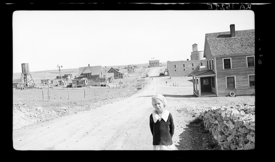
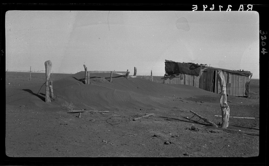
Taken for the Office of War Information and the Farm Security Administration, who photographed the country between 1935 and 1944. Works of United States government photographers, with no known restriction on use. Each opens its catalogue record.
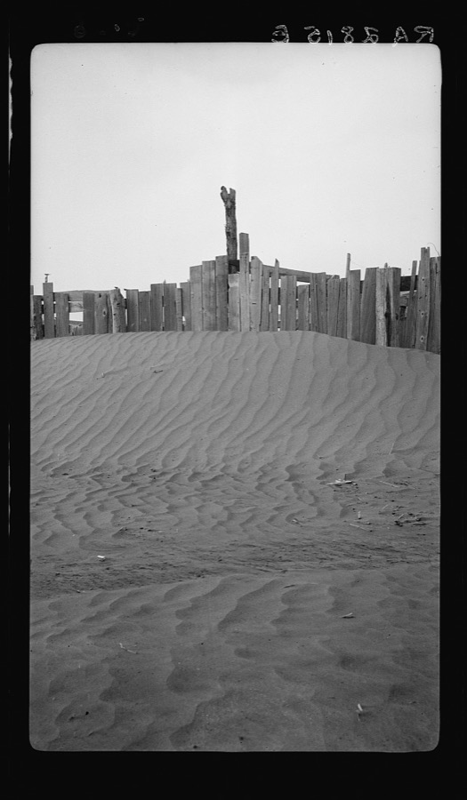
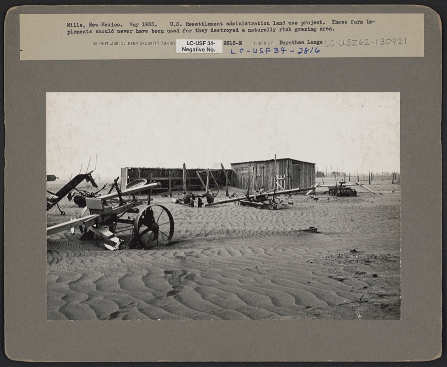
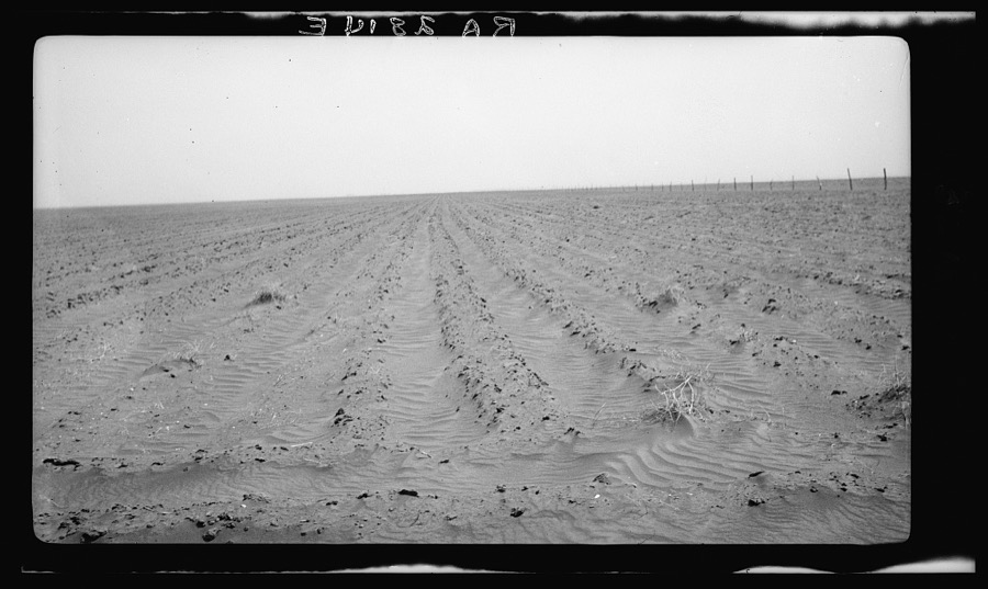
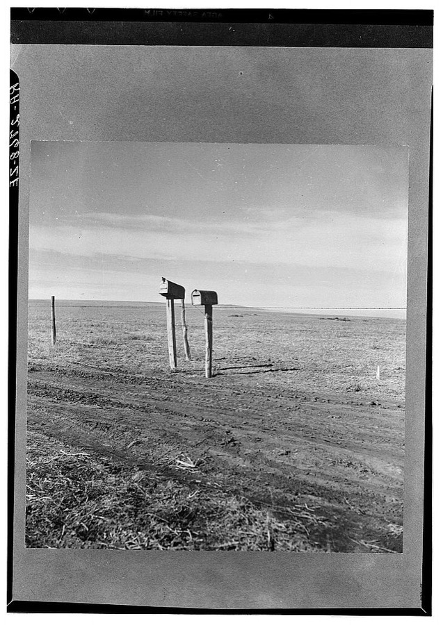
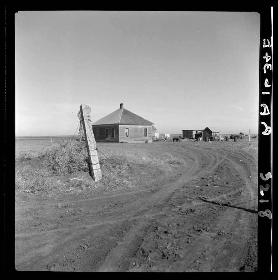

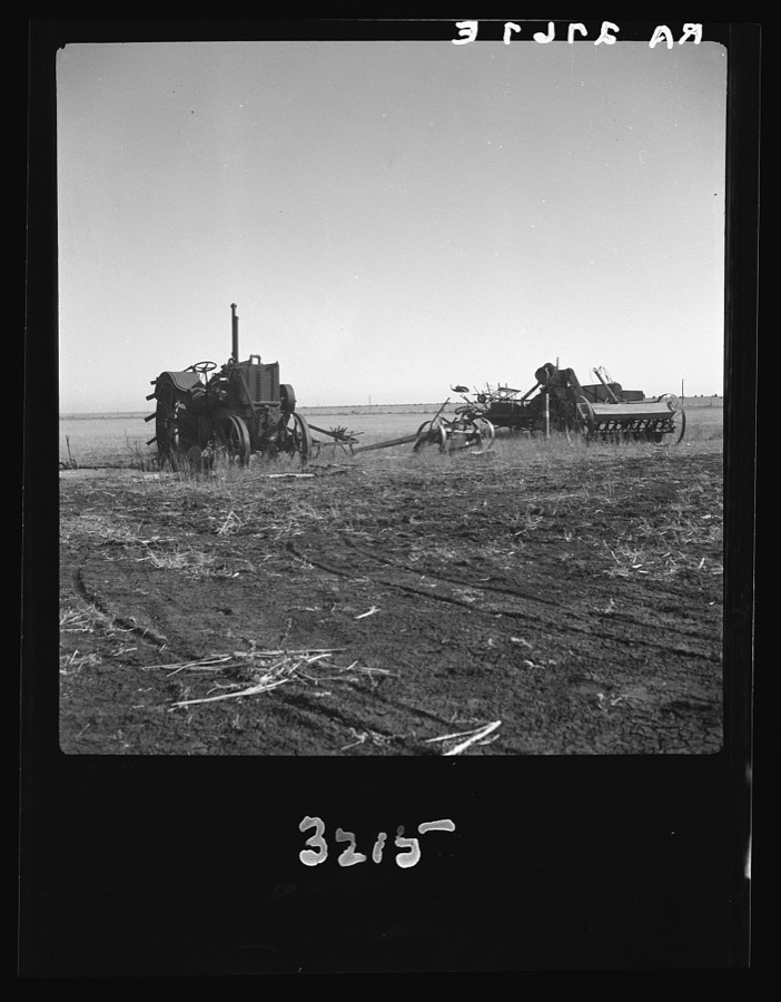
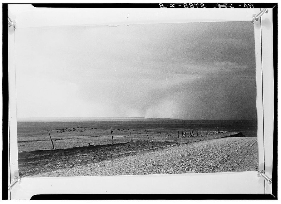
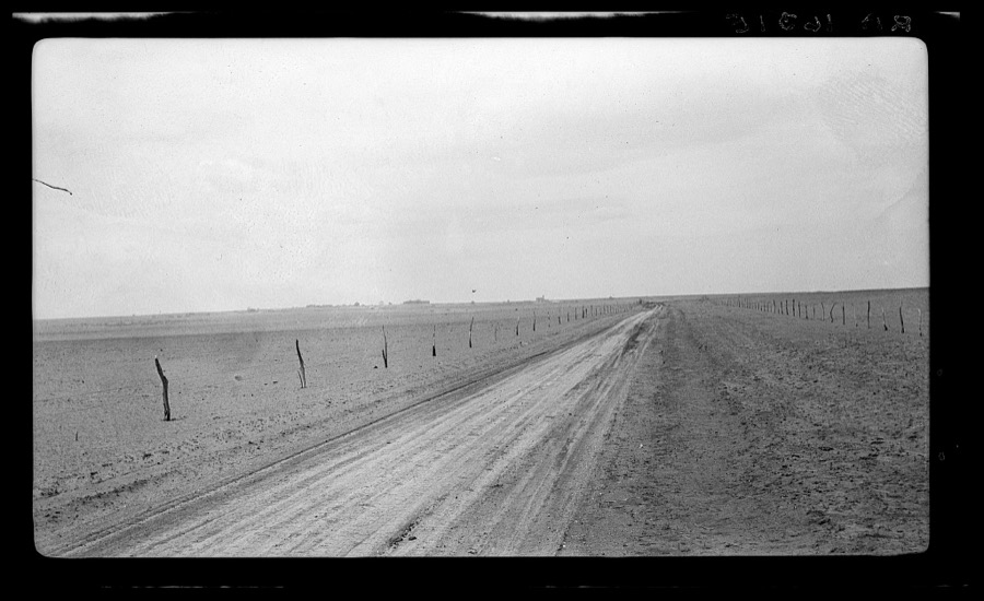
Every property in this county listed on the National Register of Historic Places, with the year it was listed and the federal nomination document.
| Photograph | Property | Type | Listed | Reference |
|---|---|---|---|---|
| Bueyeros School | building | 1996 | 96000265 | |
| Harding County Courthouse | building | 1987 | 87000895 |
Sampled issues, machine-read from the Library of Congress scan and published page by page, so every headline and column is searchable text.
Roy, Mora Co., N.M., 19??. Machine-read from the Library of Congress scan.
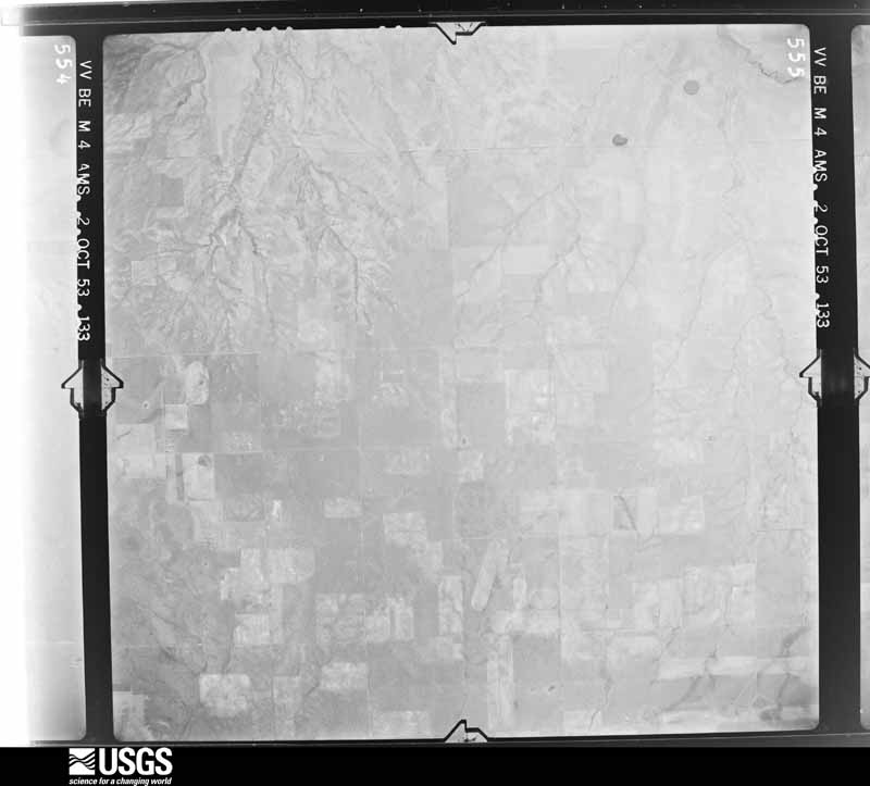
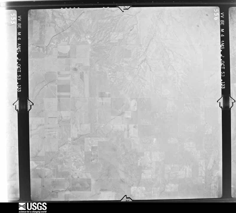
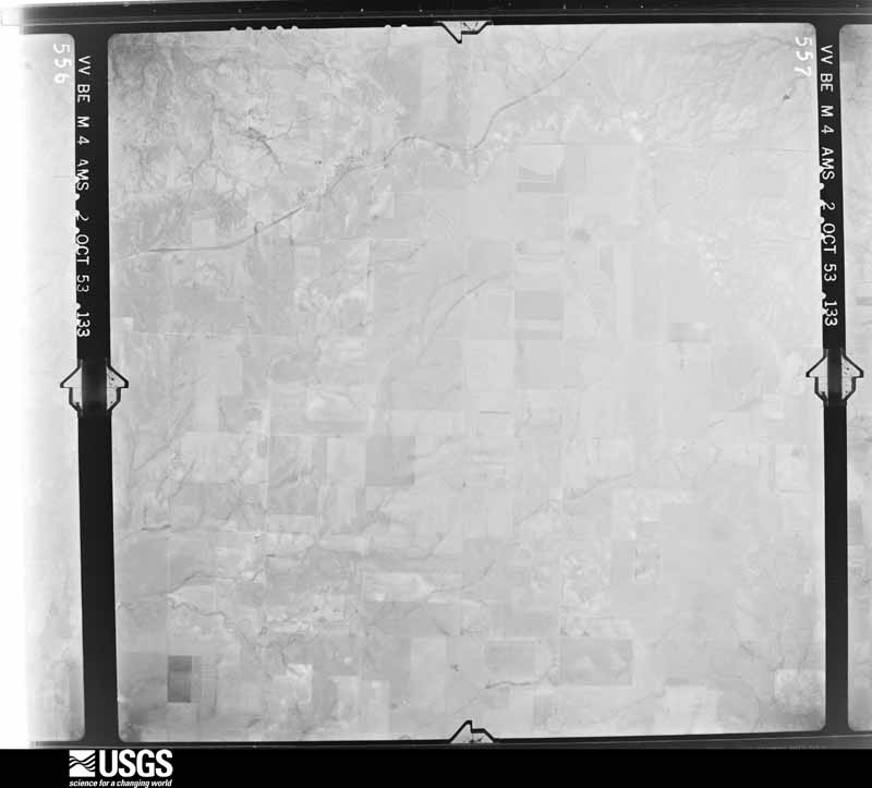
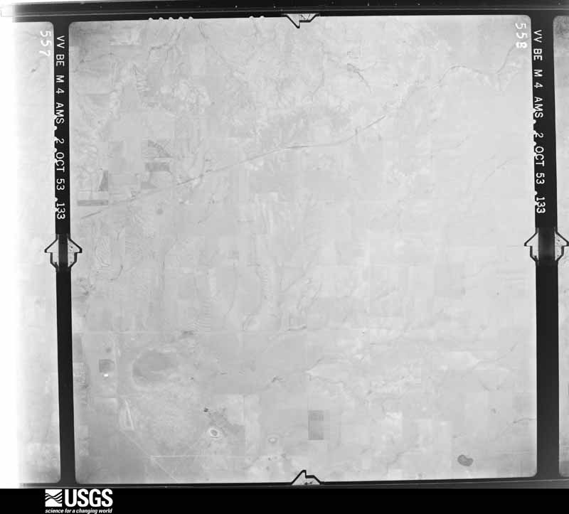
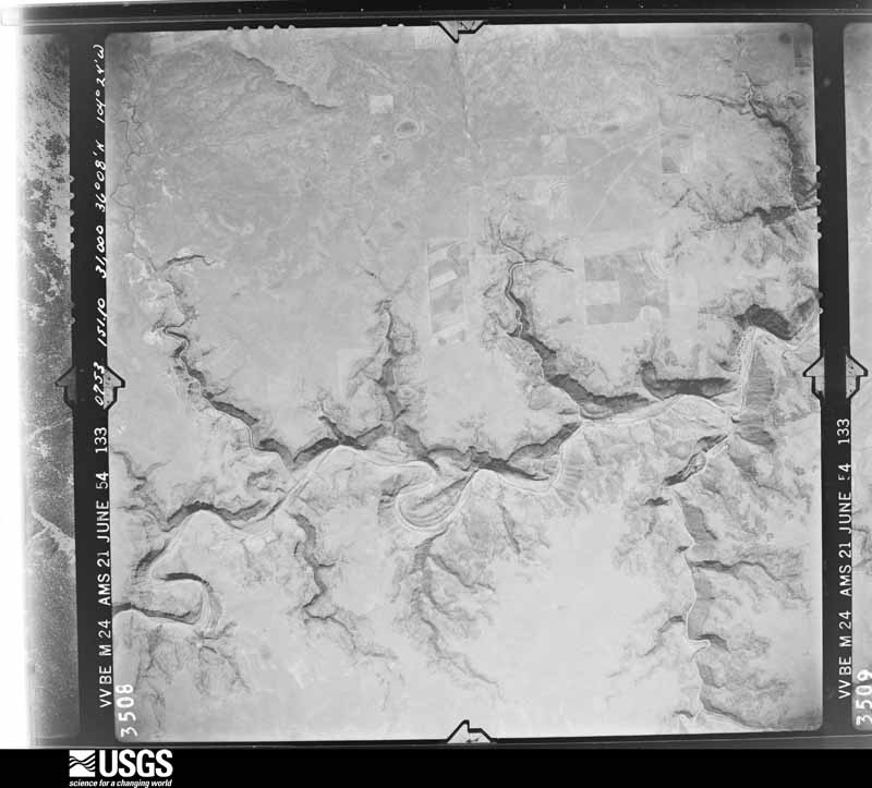
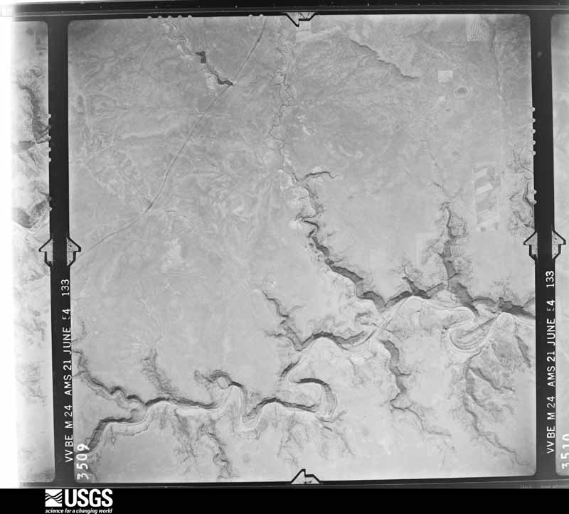
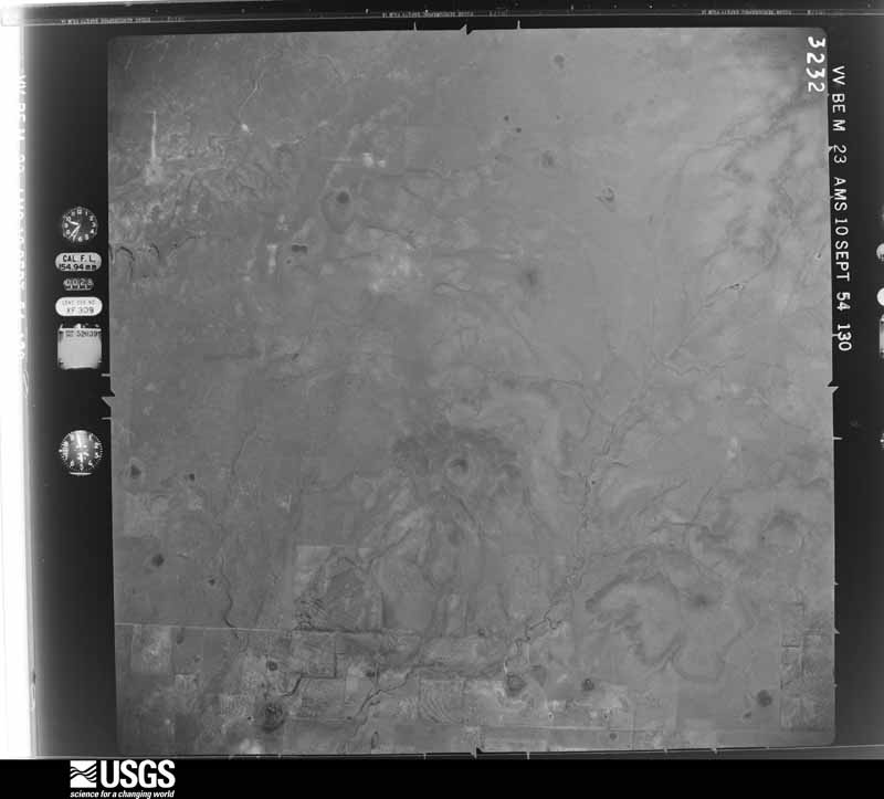
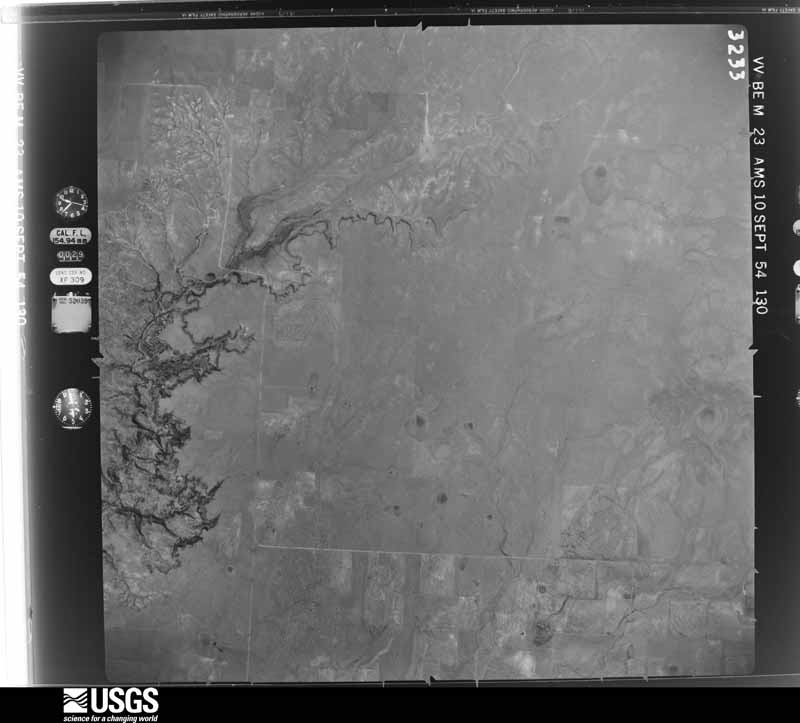
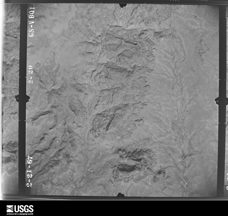
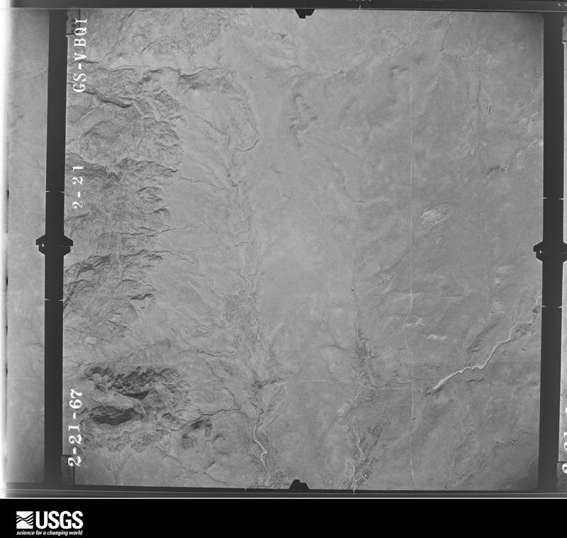
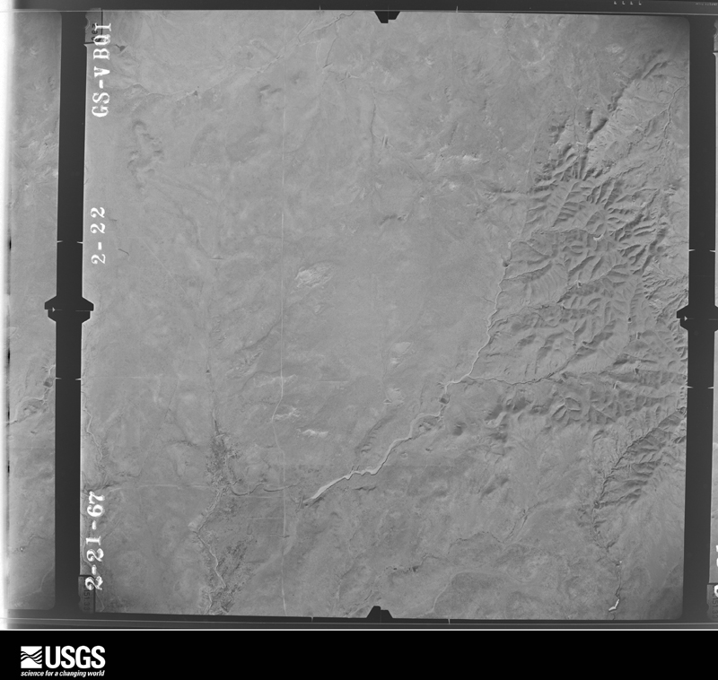
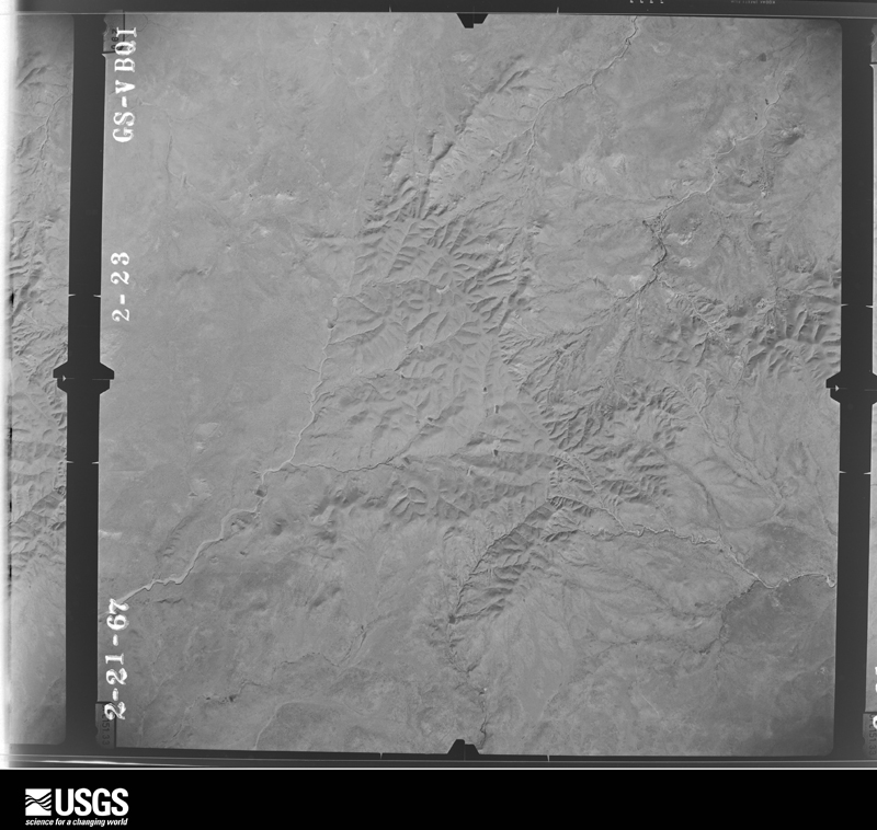
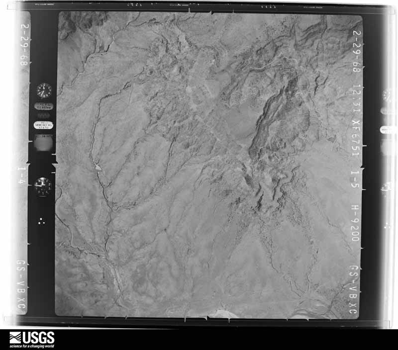
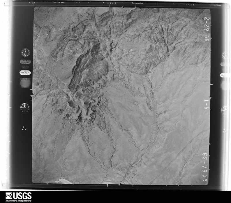
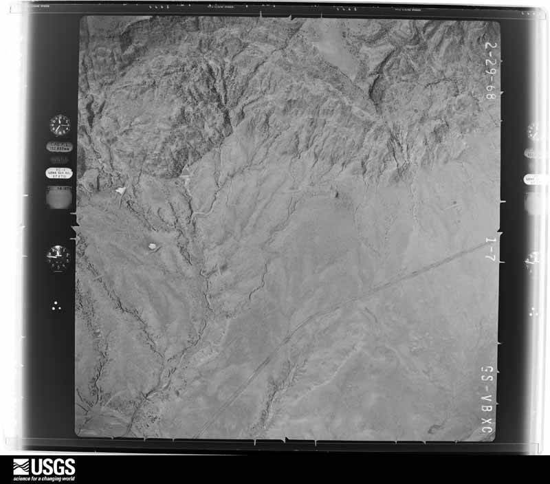
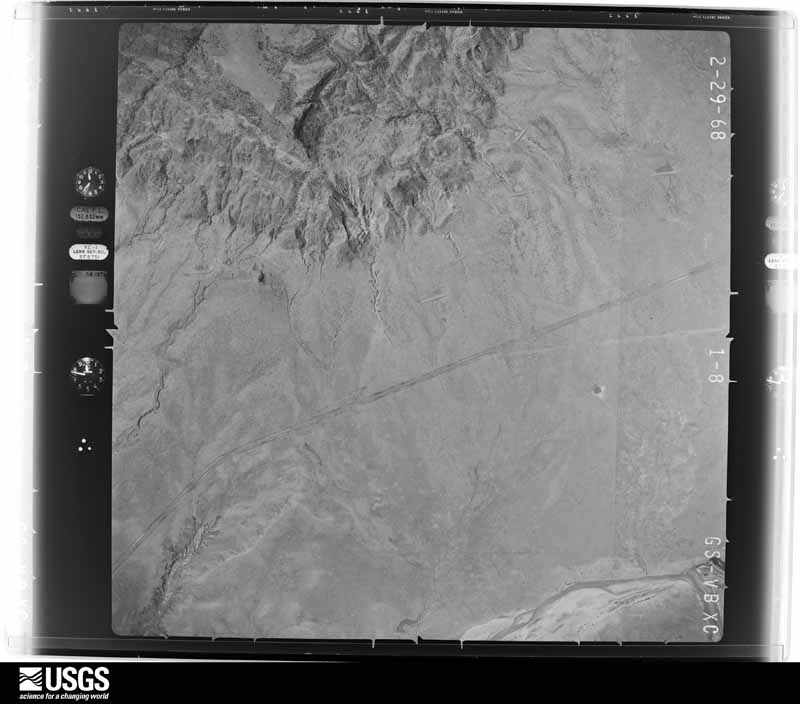
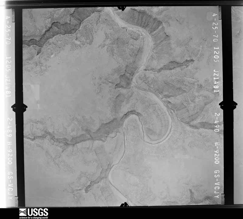
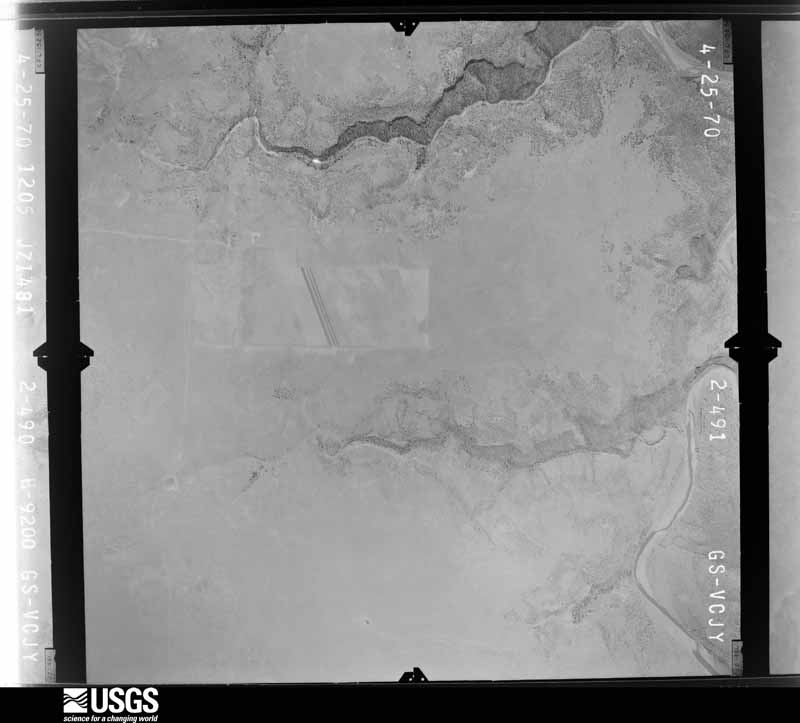
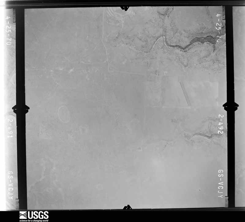
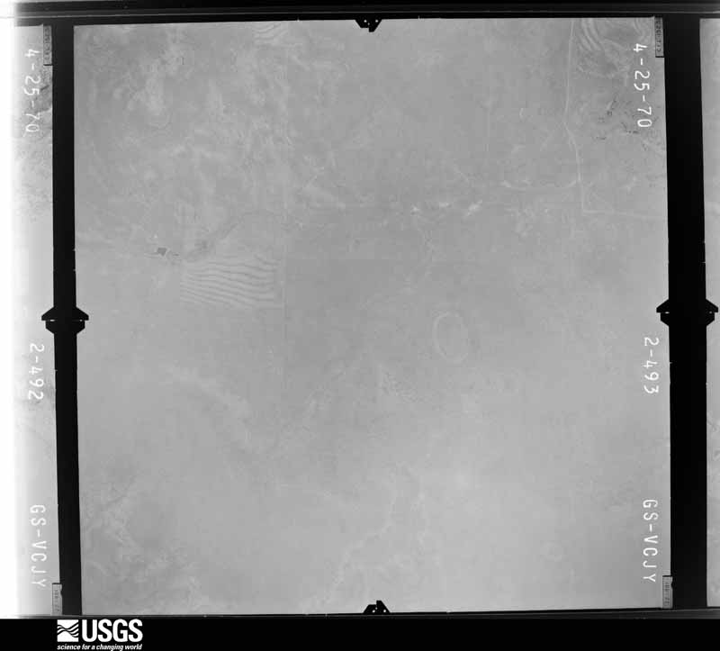
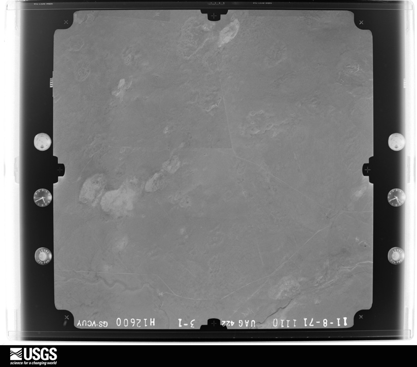
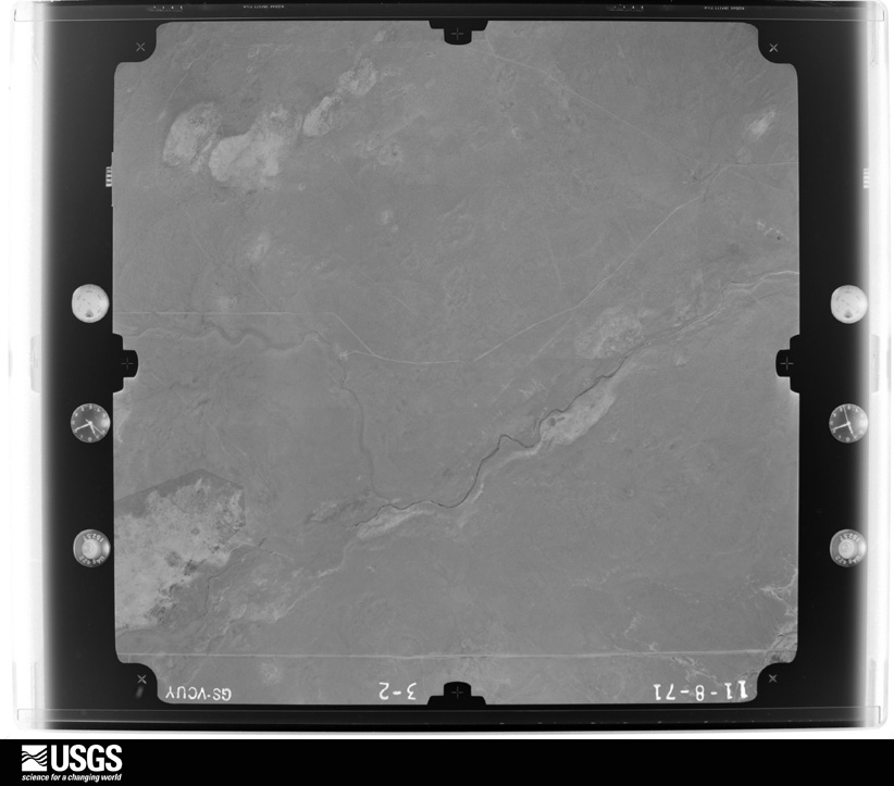
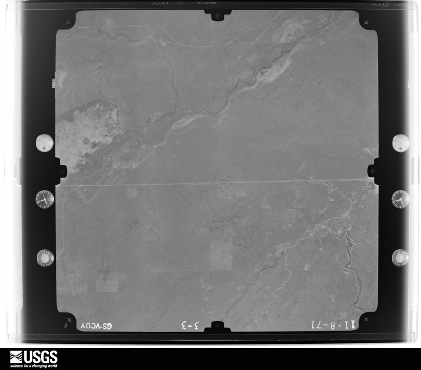
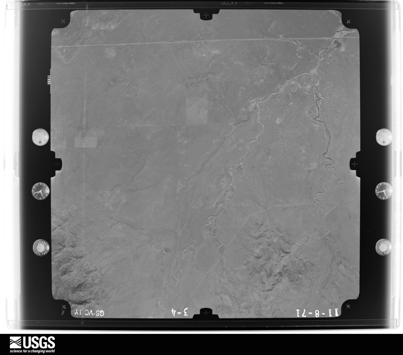
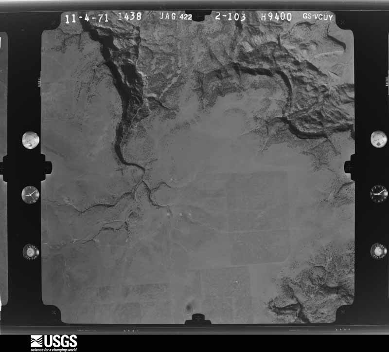
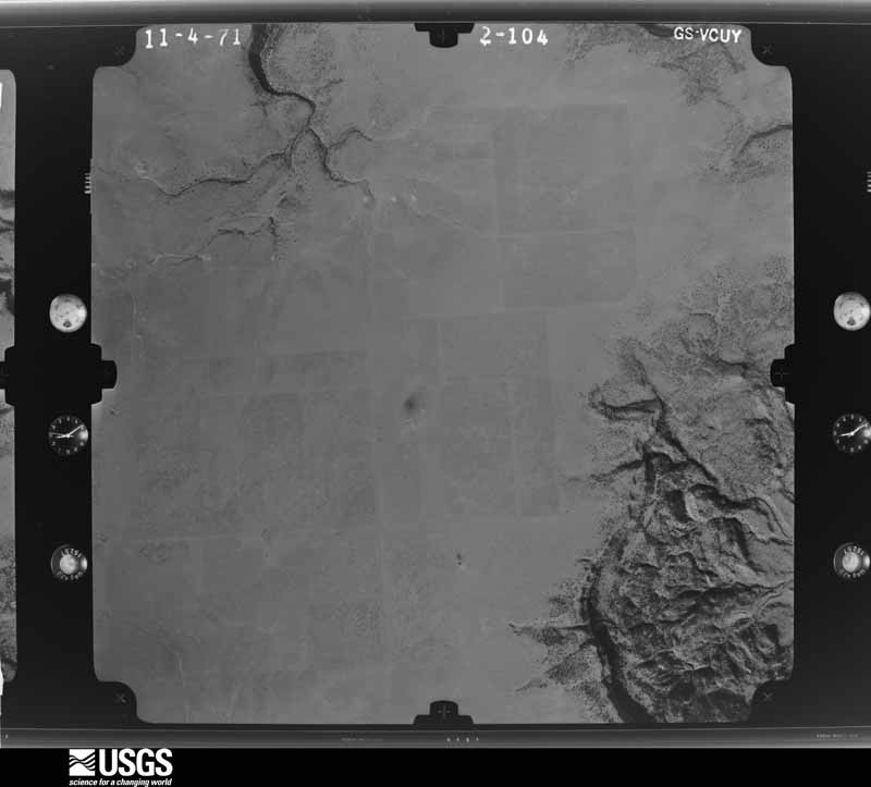
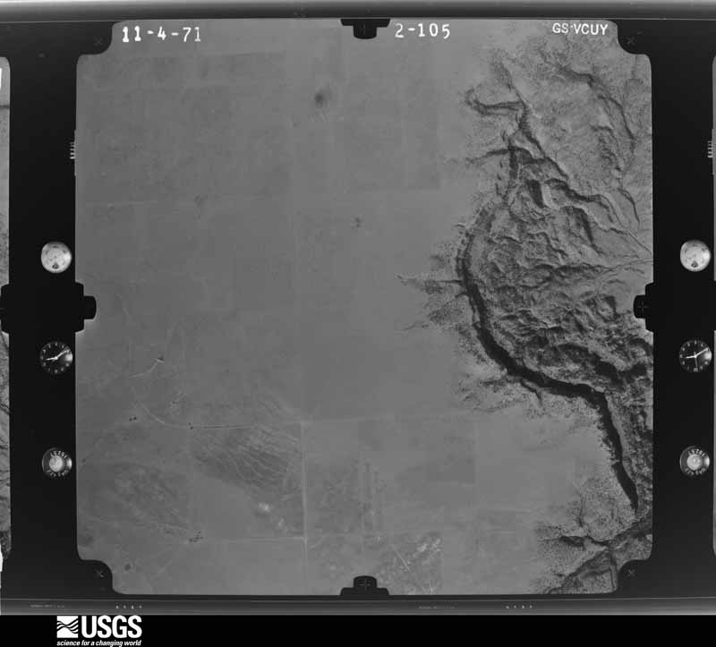
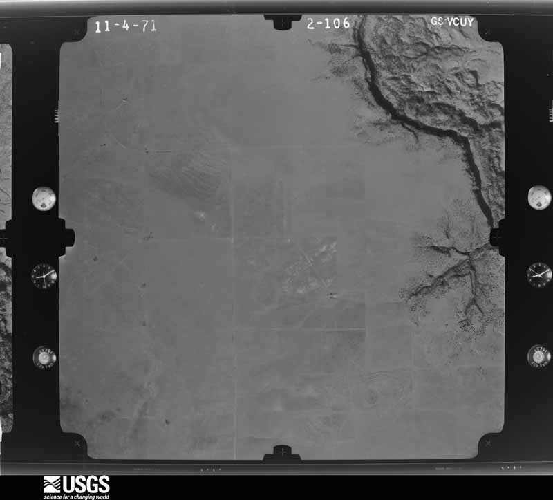
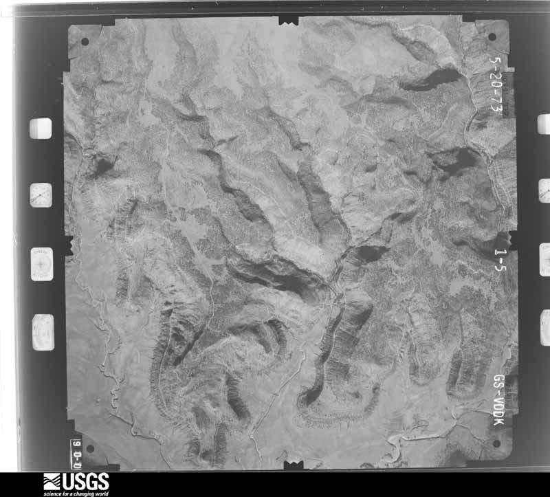
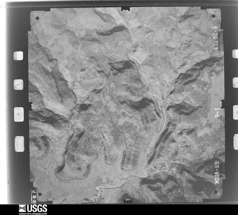
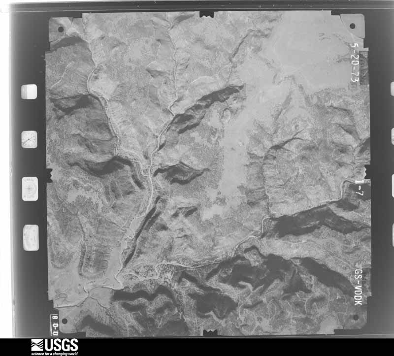
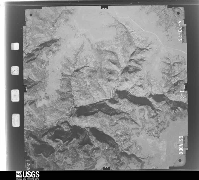
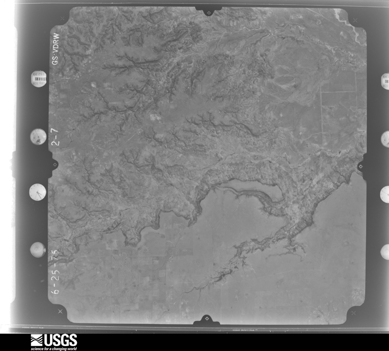
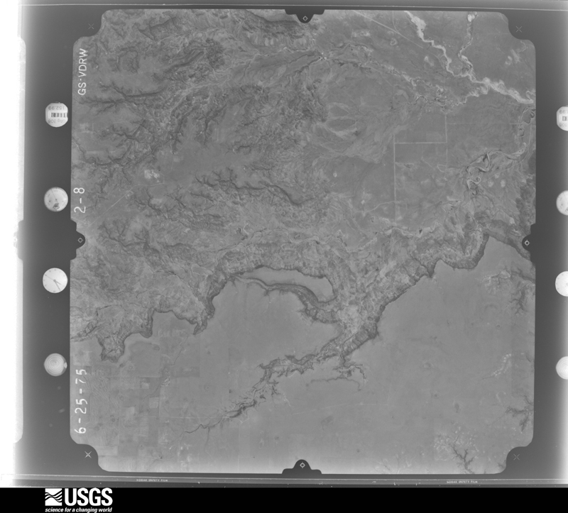
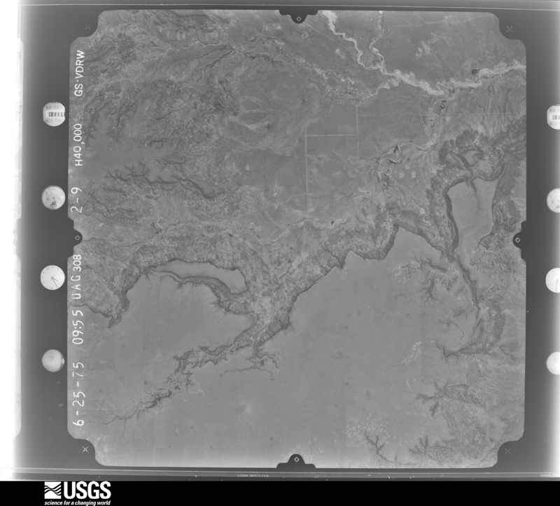
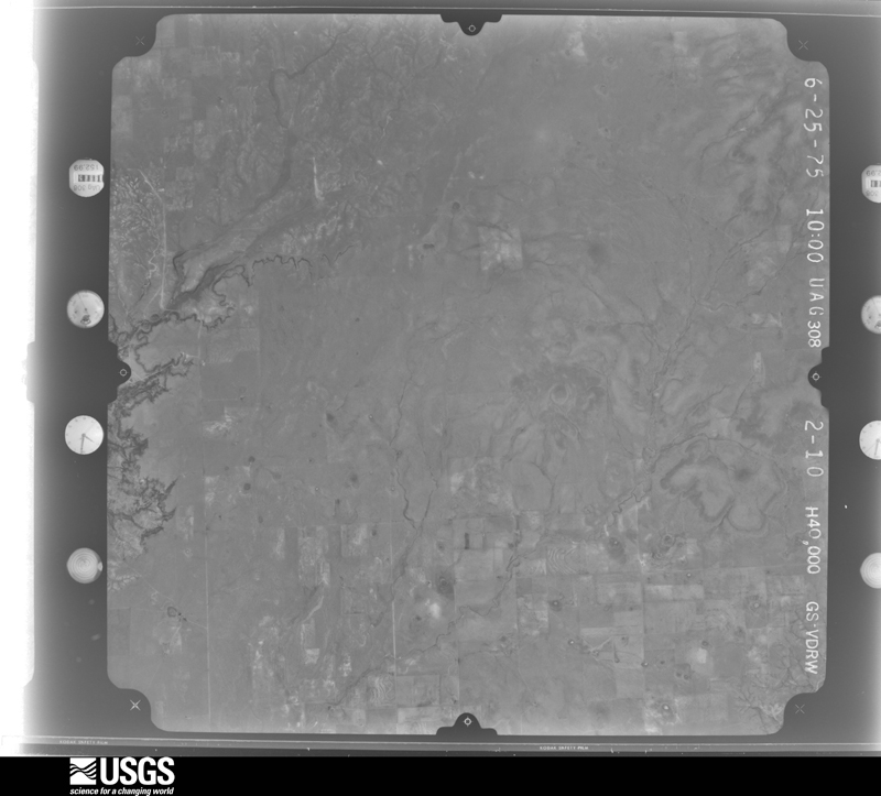
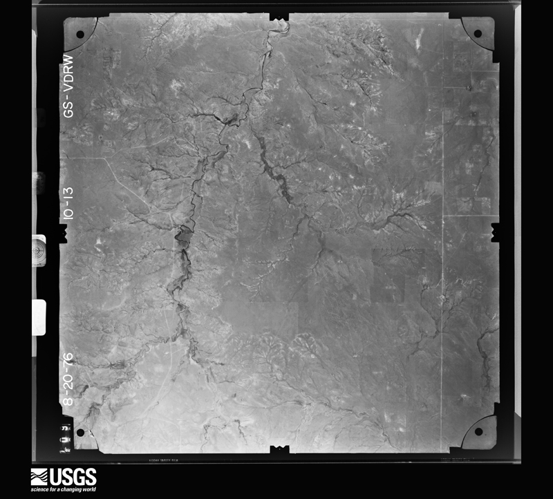
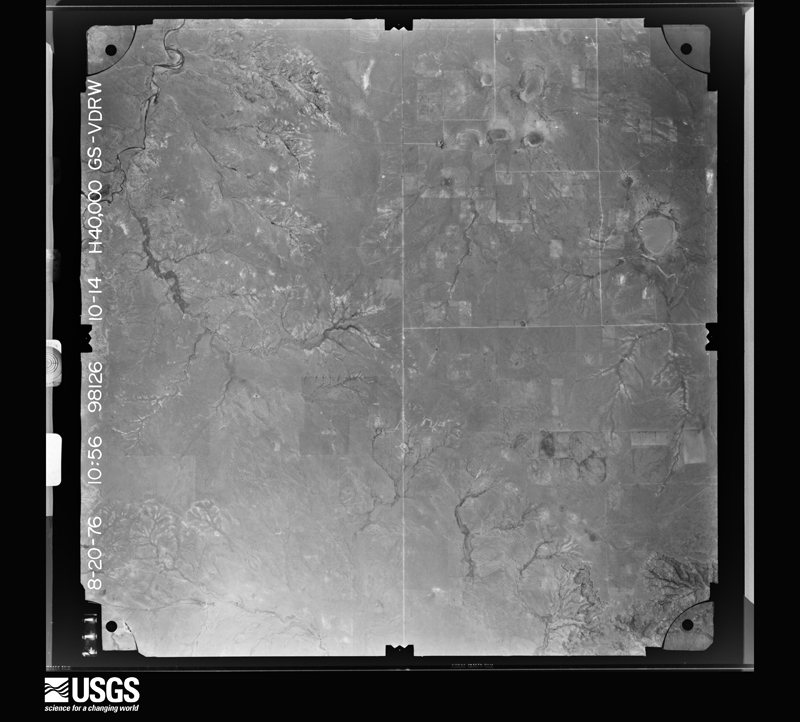
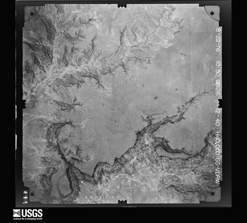
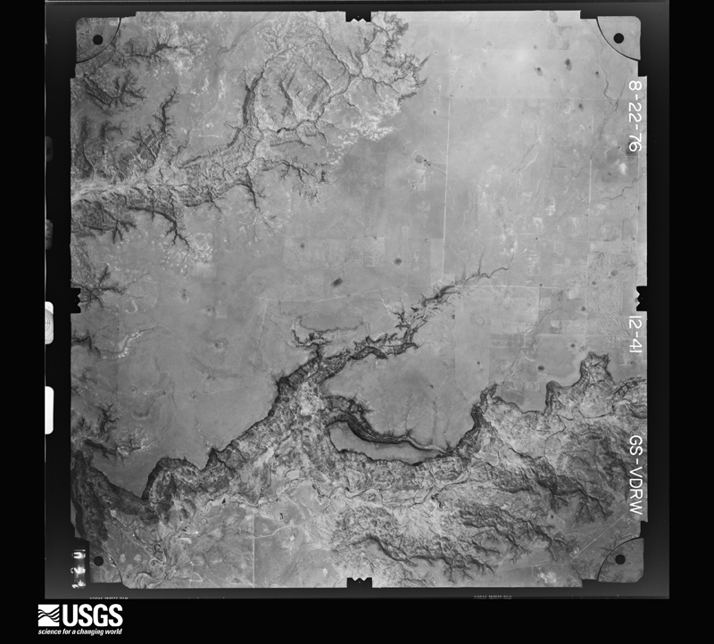
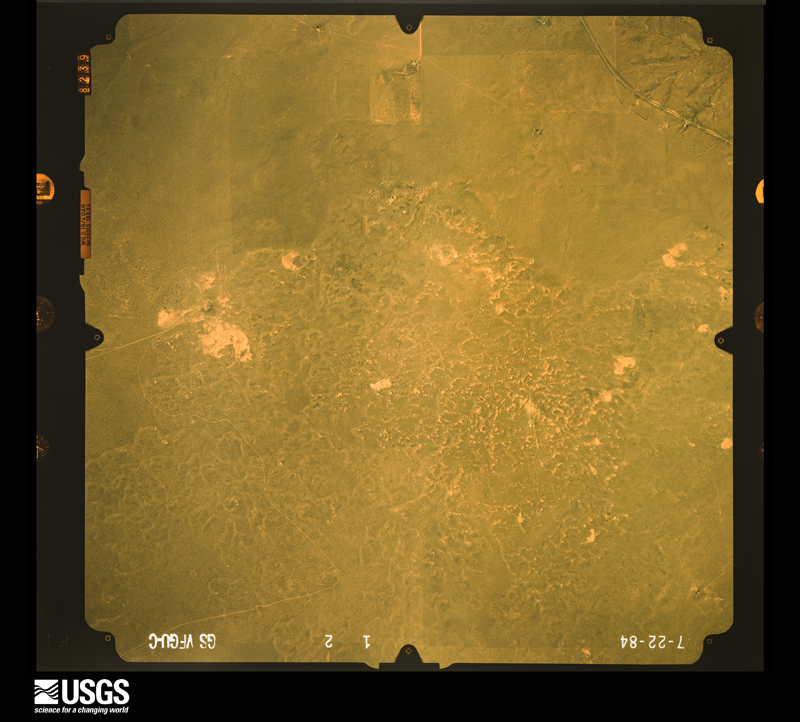
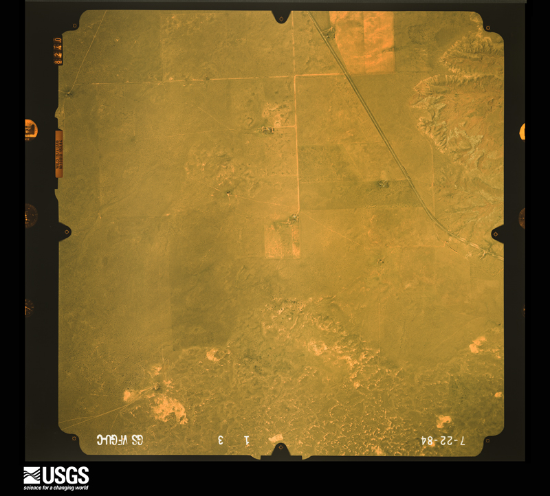
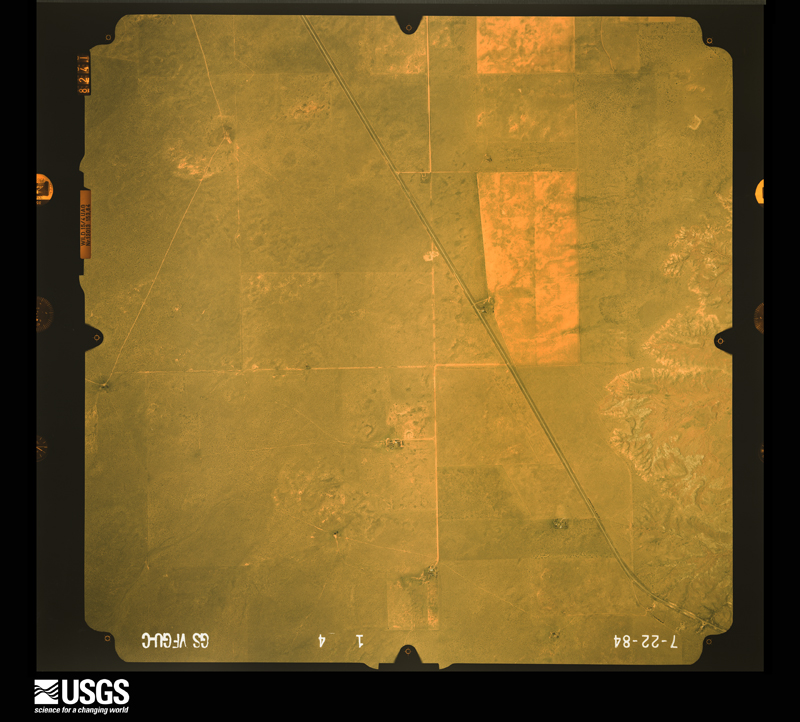
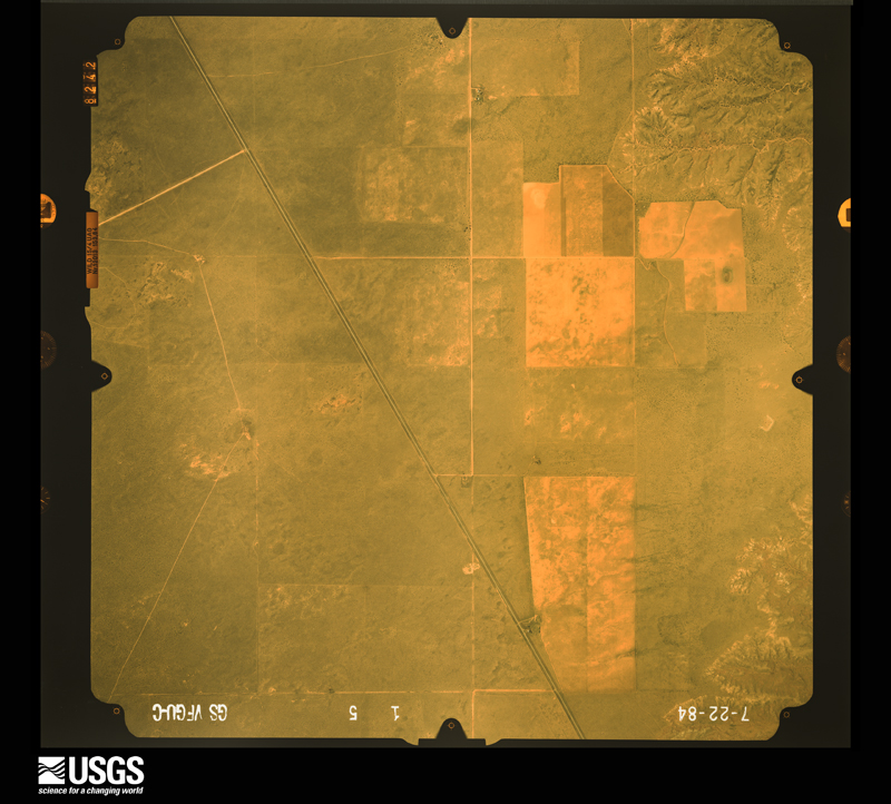
Flown by the U.S. Geological Survey between 1937 and 1989, the Aerial Photo Single Frames collection is the definitive mid-century view of the land: fields, roads and rivers as the camera saw them. The Survey holds 1,774 frames inside the rectangle that bounds this county; the 44 frames below were taken over the county itself, chosen across the decades of flights (at most four a year from that rectangle), so one flight cannot crowd out the rest. The full set is free to browse and download at EarthExplorer under the dataset Aerial Photo Single Frames.
The thermometers that kept this county's weather, and the gages that measured the flow of its streams, as the federal records hold them. The extremes below are measured values from those records, not estimates.
Who lived here in 1950, one enumeration district at a time, as the Census Bureau described each district. Each row opens its official National Archives result, with Population Schedules and ED Maps available there.
Every wildfire the federal occurrence database records inside this county: 99 of them, burning about 71,072 acres. 45 started naturally and none was recorded as arson. Each settlement page carries the fires within five miles of it.
| Reported cause | Fires |
|---|---|
| Natural | 45 |
| Missing data/not specified/undetermined | 40 |
| Debris and open burning | 4 |
| Equipment and vehicle use | 4 |
| Recreation and ceremony | 3 |
| Smoking | 2 |
| Power generation/transmission/distribution | 1 |
The five largest, by the area the report gives. None of them was recorded as arson.
| Date | Cause | Size | Reported by | Name on the report |
|---|---|---|---|---|
| 6 June 2020 | Natural | 22,872 acres | Las Vegas District | FARM CAMP |
| 9 July 2016 | Natural | 9,842 acres | Las Vegas District | CLAVEL |
| 16 June 2006 | Natural | 9,000 acres | New Mexico State Forestry Division | HARDING PLEX |
| 7 March 1992 | Missing data/not specified/undetermined | 3,000 acres | New Mexico State Forestry Division | MEEKS |
| 22 June 2018 | Natural | 2,024 acres | Cibola National Forest | BLANCO |
| 14 July 1994 | Missing data/not specified/undetermined | 1,920 acres | New Mexico State Forestry Division | CLAVEL |
| 2 July 2011 | Natural | 1,900 acres | Las Vegas District | SALAZAR |
| 6 June 2020 | Natural | 1,355 acres | Cibola National Forest | K107 |
Every settlement page carries the fires within five miles of it - see the settlement index below.
The NOAA Storm Events Database holds 186 reports for this county, causing no deaths, 11 injuries and about $343,300 in recorded property damage. Each settlement page carries the reports that name it.
| Kind of event | Reports |
|---|---|
| Hail | 142 |
| Thunderstorm Wind | 24 |
| Tornado | 8 |
| Flash Flood | 5 |
| Heavy Rain | 3 |
| Funnel Cloud | 2 |
| Lightning | 1 |
| Flood | 1 |
The most serious of them, by death, then injury, then recorded damage. The accounts are quoted exactly as the forecast office filed them.
| When | Event | Place named | Harm | What the report says |
|---|---|---|---|---|
| June 1992 | Hail | not stated | 4 hurt | no account filed |
| June 1992 | Hail | not stated | 4 hurt | no account filed |
| May 1977 | Tornado (F3) | not stated | 2 hurt, $25,000 | no account filed |
| May 1962 | Tornado (F2) | not stated | 1 hurt, $25,000 | no account filed |
| May 1995 | Thunderstorm Wind | Roy | $200,000 | Several severe thunderstorms passed over western Harding County producing large hail and damaging winds, some of which were tornado-like. A mid-evening storm damaged or destroyed five barns at the Chicosa Lake State Park northeast of Roy. A second storm just before midnight tore a porch off a park bunk house and blew over a radio communications tower. Total damage from the two storms was estimated at $200,000. |
| May 2021 | Hail | Roy | $50,000 | A trained spotter west southwest of Roy reported 1 inch hail from a severe thunderstorm moving southeast through the area. The observer also reported that their home roof was leaking as a result of hail damage. Damages are estimated for the roof damage. |
| July 2016 | Hail | Mosquero | $25,000 | Large hail and strong winds produced heavy damage to a residence eight miles east-southeast of Solano. Golf ball size hail and 75 mph were reported. Windows were busted out of. A power pole was broken off at the base. A 12 inch diameter tree limb was snapped off the tree. The large hail piled up three to four inches deep. |
| June 2025 | Hail | Rosebud | $5,000 | Quarter size hail was able to break 2 storm windows at a residence. Damage is an estimate. |
| August 1993 | Hail | Mosquero | $5,000 | The public reported golfball-size hail 6 miles east of Mosquero at 1718 MST. |
| July 2010 | Thunderstorm Wind | Bueyeros | $4,000 | A large 4 foot diameter tree was knocked over by the strong wind gusts. |
| June 2015 | Thunderstorm Wind | Rosebud | $3,000 | Observer noted that thunderstorm wind gusts broke a few electrical poles. |
| June 2023 | Hail | Yates | $1,000 | A trained spotter reported quarter size hail that produced damage to windows and skylights. |
| June 2020 | Hail | Rosebud | $300 | Hail up to the size of nickels fell a few miles northwest of Rosebud. The combination of hail and strong winds was enough to damage several window screens at a residence. Damage amounts are a rough estimate for two windows. |
| August 2025 | Thunderstorm Wind | Mills | - | The Mills Canyon RAWS measured a 70 mph wind gust from a severe thunderstorm. |
| June 2025 | Hail | Bueyeros | - | Hen egg size hail was observed in far northeast Harding County from a supercell thunderstorm. |
| July 2025 | Flash Flood | Mosquero | - | Flash Flooding made Trigg Road impassable near the confluence of Conejo and Vallentine Creeks with a concrete culvert becoming inundated and damaged. Location is approximate. |
| July 2024 | Thunderstorm Wind | Mosquero | - | Trained spotter reported 3 inch tree limbs snapped from tree. No damage was reported. |
| June 2024 | Thunderstorm Wind | Rosebud | - | A trained storm spotter relayed an estimated thunderstorm wind gust of 58 mph. A nearby spotter reported weak and old tree limbs down. |
| May 2024 | Hail | Rosebud | - | Golf ball size hail from a severe thunderstorm was observed in southern Harding County northwest of Ute Lake State Park. |
| July 2023 | Hail | Roy | - | Quarter size hail was reported. |
| July 2023 | Thunderstorm Wind | Mills | - | A mesonet station near Mills measured a thunderstorm wind gust of 58 mph. |
| May 2023 | Hail | Rosebud | - | There was a public report of penny size hail 7 miles north of Ute Lake State Park. |
| May 2023 | Hail | Rosebud | - | There was a public report of penny size hail 6 miles north-northeast of Ute Lake State Park. |
| June 2023 | Hail | Roy | - | Hail was mostly dime size but some were up to half dollars. |
| June 2023 | Hail | Mosquero | - | Tennis ball size hail reported east-northeast of Mosquero, NM. |
| June 2023 | Hail | Roy | - | Hail fell for at least ten minutes. |
| June 2023 | Hail | Solano | - | Quarter sized hail caused damage to flower gardens. |
| June 2023 | Hail | Mosquero | - | Golf ball size hail fell with a cell that tracked over Mosquero, NM. |
| June 2023 | Hail | Rosebud | - | The Rosebud COOP observer reported pea to nickel size hail. |
| July 2023 | Hail | Roy | - | Quarter to golf ball size hail was reported. |
| June 2022 | Thunderstorm Wind | Mills | - | A RAWS station near Mills reported a 59 mph thunderstorm wind gust. |
| June 2022 | Hail | Mosquero | - | The Harding County emergency manager reported quarter size hail near Mosquero. |
| June 2022 | Hail | Roy | - | A storm chaser near Roy reported quarter size hail. |
| May 2021 | Hail | Mills | - | A trained spotter reported nickel size hail in Mills from a strong thunderstorm. |
| July 2021 | Hail | Mills | - | A trained spotter reported nickel size hail from a strong thunderstorm near Chicosa Lake State Park. |
| July 2021 | Hail | Mills | - | A trained spotter reported one inch hail from a severe thunderstorm near Mills. |
| July 2020 | Thunderstorm Wind | Mills | - | Downburst winds up to 70 mph were reported near Mills. |
| May 2020 | Hail | Roy | - | Half dollar size hail reported near Mills Canyon. |
| May 2019 | Hail | Mosquero | - | Nickel size hail was reported in Mosquero. |
| May 2019 | Hail | Rosebud | - | Penny size hail was reported a few miles northwest of Rosebud. |
| June 2019 | Hail | Bueyeros | - | Quarter size hail reported several miles south of Bueyeros. |
| June 2019 | Hail | Rosebud | - | Golf ball size hail a few miles west of Rosebud. |
| June 2019 | Hail | Yates | - | Penny size hail reported 22 miles east-northeast of Roy. |
| June 2019 | Hail | Rosebud | - | Half dollar size hail a few miles south of Rosebud. |
| June 2019 | Hail | Rosebud | - | Half dollar size hail fell a couple miles south-southeast of Rosebud. |
| June 2019 | Hail | Rosebud | - | Hail up to the size of two inches was reported four miles south of Rosebud. |
| June 2019 | Hail | Rosebud | - | Quarter size hail fell along NM-39 north of Tucumcari. |
| June 2019 | Thunderstorm Wind | Rosebud | - | Thunderstorm wind gusts up to 60 mph were estimated along NM-39 north of Tucumcari. |
| July 2019 | Hail | Rosebud | - | Nickel size hail fell a few miles north of Rosebud. |
| July 2019 | Heavy Rain | Mosquero | - | The COOP observer near Mosquero reported 3.34 inches of rainfall from storms overnight. |
| August 2019 | Hail | Rosebud | - | Nickel size hail reported near Rosebud. |
| August 2018 | Thunderstorm Wind | Bueyeros | - | High winds pulled plants from ground and downed several tree limbs. Very heavy rainfall and small hail accompanied the high winds. |
| August 2018 | Thunderstorm Wind | Mills | - | A peak wind gust up to 58 mph was reported at Mills Canyon. |
| May 2018 | Hail | Rosebud | - | Ping pong ball size hail five miles north of Logan. |
| May 2018 | Hail | Mosquero | - | Hail up to the size of quarters near Mosquero. |
| May 2017 | Hail | Roy | - | Hail up to the size of golf balls in Roy. |
| August 2017 | Flash Flood | Mosquero | - | NM-102 flooded and impassable between mile markers 3 and 4 at Tequesquite Creek. |
| August 2017 | Flood | Rosebud | - | Ute Creek above Logan reached minor flood stage of 7 feet at 600 am MDT on the 23rd and periodically remained above minor flood stage through 300 am MDT on the 25th. The river crested at 8.67 feet with a discharge of 3,964 cfs at 945 am MDT on the 23rd. |
| August 2017 | Flash Flood | Yates | - | Rancher reported 5 inches of rainfall. Water was running off Mesa Quitaras and flooding everywhere. Carrizo Creek is running like a river. |
| June 2017 | Hail | Roy | - | Hail up to the size of quarters near Roy. |
The Survey's mineral resources record lists 32 workings inside this county. 12 still produce and 20 are closed or unrecorded. Each settlement page carries the workings within five miles of it.
| Commodity | Workings |
|---|---|
| Sand and Gravel, Construction | 23 |
| Calcium | 8 |
| Uranium | 1 |
The least common of them first, because a county's hundredth gravel pit says nothing its first ten did not.
| Where | Site | Commodity | Status | Recorded |
|---|---|---|---|---|
| Polita Number Two | Uranium | Unknown | ||
| Materials Pit 56-64-S | Calcium | Producer | ||
| Materials Pit 56-66-S | Calcium | Producer | ||
| Materials Pit 59-82-S | Calcium | Producer | ||
| Materials Pit 63-16-S | Calcium | Unknown | ||
| Materials Pit 66-30-S | Calcium | Producer | ||
| Materials Pit 76-4-S | Calcium | Producer | ||
| Materials Pit 76-5-S | Calcium | Producer | ||
| Materials Pit 76-7-S | Calcium | Producer | ||
| Bains Pit | Sand and Gravel, Construction | Producer | Sedimentary | |
| Materials Pit 56-67-F | Sand and Gravel, Construction | Producer | ||
| Materials Pit 58-115-F | Sand and Gravel, Construction | Past Producer | ||
| Materials Pit 58-116-S | Sand and Gravel, Construction | Producer | ||
| Materials Pit 59-83-F | Sand and Gravel, Construction | Unknown | ||
| Materials Pit 60-20-S | Sand and Gravel, Construction | Producer | ||
| Materials Pit 63-15-S | Sand and Gravel, Construction | Producer | ||
| Materials Pit 63-17-F | Sand and Gravel, Construction | Past Producer | ||
| Unnamed Pit | Sand and Gravel, Construction | Unknown | ||
| Unnamed Pit | Sand and Gravel, Construction | Unknown | ||
| Unnamed Pit | Sand and Gravel, Construction | Unknown | ||
| Unnamed Pit | Sand and Gravel, Construction | Unknown | ||
| Unnamed Pit | Sand and Gravel, Construction | Unknown | ||
| Unnamed Pit | Sand and Gravel, Construction | Unknown | ||
| Unnamed Pit | Sand and Gravel, Construction | Unknown | ||
| Unnamed Pit | Sand and Gravel, Construction | Unknown | ||
| Unnamed Pit | Sand and Gravel, Construction | Unknown | ||
| Unnamed Pit | Sand and Gravel, Construction | Unknown | ||
| Unnamed Pit | Sand and Gravel, Construction | Unknown | ||
| Unnamed Pit | Sand and Gravel, Construction | Unknown | ||
| Unnamed Pit | Sand and Gravel, Construction | Unknown | ||
| Unnamed Pit | Sand and Gravel, Construction | Unknown | ||
| Unnamed Pit | Sand and Gravel, Construction | Unknown |
Named settlements recorded in the Geographic Names Information System, each with the topographic sheets covering it. Villages, hamlets and abandoned places alike. Each is shown with the nearest named watercourse or landform and the survey quadrangle it falls on. The 1 place that was also surveyed for fire insurance comes first, with the number of atlases and photographs held for them.
North Harding census division · 87743 · Roy quadrangle
7 sheets, 1954 to 1981
Fire insurance: 2 atlases
North Harding census division · 87743 · Near Carrizo Canyon · Albert quadrangle
4 sheets, 1954 to 1973
North Harding census division · 87743 · Near Cañon Armenta · Canon Encierro quadrangle
7 sheets, 1954 to 1981
No longer a settlement
South Harding census division · 88415 · On Del Muerto Creek · Bueyeros quadrangle
4 sheets, 1954 to 1973
South Harding census division · 88426 · On Deposito Creek · Gallegos quadrangle
4 sheets, 1954 to 1969
The vanished settlements of Harding County: the places named above that are no longer on the map.