 Block
Rosebud, New Mexico
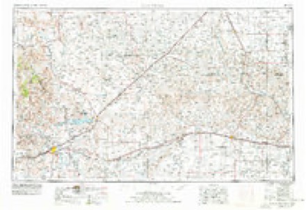
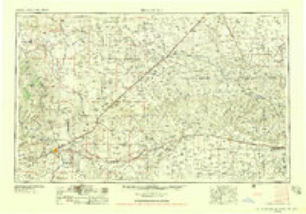
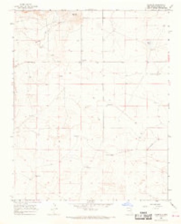
4 topographic sheets cover this place, the earliest surveyed in 1954 and the latest in 1966. It stands in the South Harding census division. It lies in ZIP code area 88410. The Survey maps it on the Rosebud quadrangle. It stands 4,826 feet above sea level.
Topographic sheets covering this place
3 surveys from 4 printed sheetsMatched by testing this settlement's coordinate against the published boundary of every sheet in the United States Geological Survey's historical collection. Each opens the scanned sheet at the Survey.
- 1954 USGS Tucumcari quadrangle1:250000, 2 printings
- 1958 USGS Tucumcari quadrangle1:250000
- 1966 USGS Rosebud quadrangle1:24000
Storms near this place
33 since 1996Regional context, not property-specific evidence. The National Weather Service names Rosebud in 33 storm reports between 1996 and 2025: 25 hail, 6 thunderstorm wind, 1 tornado, 1 flood. No death or injury is recorded in these reports. Each account below is quoted exactly as the forecast office filed it, from the NOAA Storm Events Database, and each date opens the federal record of that event.
| When | Event | Place named | Harm | What the report says |
|---|---|---|---|---|
| June 2025 | Hail | Rosebud | $5,000 | Quarter size hail was able to break 2 storm windows at a residence. Damage is an estimate. |
| June 2015 | Thunderstorm Wind | Rosebud | $3,000 | Observer noted that thunderstorm wind gusts broke a few electrical poles. |
| June 2020 | Hail | Rosebud | $300 | Hail up to the size of nickels fell a few miles northwest of Rosebud. The combination of hail and strong winds was enough to damage several window screens at a residence. Damage amounts are a rough estimate for two windows. |
| June 2024 | Thunderstorm Wind | Rosebud | - | A trained storm spotter relayed an estimated thunderstorm wind gust of 58 mph. A nearby spotter reported weak and old tree limbs down. |
| May 2024 | Hail | Rosebud | - | Golf ball size hail from a severe thunderstorm was observed in southern Harding County northwest of Ute Lake State Park. |
| May 2023 | Hail | Rosebud | - | There was a public report of penny size hail 7 miles north of Ute Lake State Park. |
| May 2023 | Hail | Rosebud | - | There was a public report of penny size hail 6 miles north-northeast of Ute Lake State Park. |
| June 2023 | Hail | Rosebud | - | The Rosebud COOP observer reported pea to nickel size hail. |
| May 2019 | Hail | Rosebud | - | Penny size hail was reported a few miles northwest of Rosebud. |
| June 2019 | Hail | Rosebud | - | Golf ball size hail a few miles west of Rosebud. |
| June 2019 | Hail | Rosebud | - | Half dollar size hail a few miles south of Rosebud. |
| June 2019 | Hail | Rosebud | - | Half dollar size hail fell a couple miles south-southeast of Rosebud. |
| June 2019 | Hail | Rosebud | - | Hail up to the size of two inches was reported four miles south of Rosebud. |
| June 2019 | Hail | Rosebud | - | Quarter size hail fell along NM-39 north of Tucumcari. |
| June 2019 | Thunderstorm Wind | Rosebud | - | Thunderstorm wind gusts up to 60 mph were estimated along NM-39 north of Tucumcari. |
| July 2019 | Hail | Rosebud | - | Nickel size hail fell a few miles north of Rosebud. |
| August 2019 | Hail | Rosebud | - | Nickel size hail reported near Rosebud. |
| May 2018 | Hail | Rosebud | - | Ping pong ball size hail five miles north of Logan. |
| August 2017 | Flood | Rosebud | - | Ute Creek above Logan reached minor flood stage of 7 feet at 600 am MDT on the 23rd and periodically remained above minor flood stage through 300 am MDT on the 25th. The river crested at 8.67 feet with a discharge of 3,964 cfs at 945 am MDT on the 23rd. |
| August 2017 | Thunderstorm Wind | Rosebud | - | Peak wind gust up to 60 mph. |
| August 2017 | Hail | Rosebud | - | Hail up to the size of nickels with strong winds. |
| May 2012 | Thunderstorm Wind | Rosebud | - | Small tree limbs were broken off a tree as the gust front came through. |
| July 2009 | Thunderstorm Wind | Rosebud | - | Winds were estimated between 50 and 60 mph with no damage reported. |
| May 2023 | Hail | Rosebud | - | no account filed |
| May 2023 | Hail | Rosebud | - | no account filed |
| May 2023 | Hail | Rosebud | - | no account filed |
| August 2015 | Hail | Rosebud | - | no account filed |
| September 2006 | Hail | Rosebud | - | no account filed |
| May 2002 | Hail | Rosebud | - | no account filed |
| May 1996 | Hail | Rosebud | - | no account filed |
| June 1996 | Tornado (F0) | Rosebud | - | no account filed |
| June 1996 | Hail | Rosebud | - | no account filed |
| June 1996 | Hail | Rosebud | - | no account filed |
Nearest settlements
The eight closest, with where each one stands in the county. Distances are straight-line, computed from the Geographic Names Information System coordinates.
Elsewhere
Matched on this settlement's Geographic Names Information System number rather than its name, so it cannot be a different place of the same name in another state.
| Wikidata item Q109874245 | The structured record the population and elevation above come from. Public domain (CC0). |
Provenance
This settlement is recorded in the Geographic Names Information System as feature 898594. The sheet list is computed by point-in-boundary test against the United States Geological Survey's historical topographic inventory. Both are works of the United States government and carry no copyright under 17 U.S.C. 105.
Storms. NOAA National Centers for Environmental Information, Storm Events Database https://www.ncei.noaa.gov/stormevents/ A work of the United States government, no copyright under 17 U.S.C. 105. Narratives are quoted verbatim from the National Weather Service report and are not edited or summarised.