 Block
From the record
8 National Register listings published here, 2 of them National Historic Landmarks.
Sources: the National Register database, National Park Service
37 topographic sheets cover 3 settlements here, and 8 properties are on the National Register of Historic Places.
8 National Register listings published here, 2 of them National Historic Landmarks.
Sources: the National Register database, National Park Service
Taken for the Office of War Information and the Farm Security Administration, who photographed the country between 1935 and 1944. Works of United States government photographers, with no known restriction on use. Each opens its catalogue record.
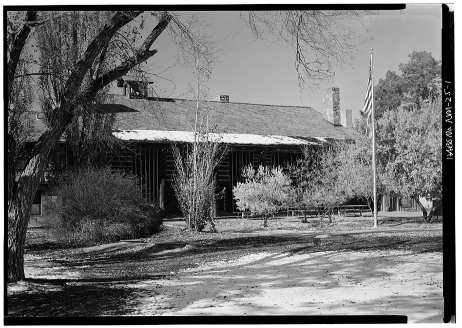

Every property in this county listed on the National Register of Historic Places, with the year it was listed and the federal nomination document.
| Photograph | Property | Type | Listed | Reference |
|---|---|---|---|---|
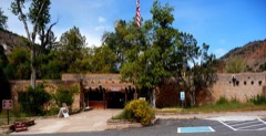 | Bandelier CCC Historic District | district | 1987 | 87001452 |
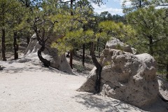 | Bayo Road | structure | 2003 | 03001141 |
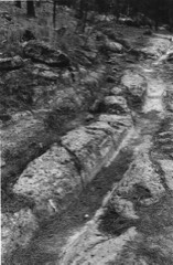 | Grant Road | structure | 2004 | 03001409 |
| Los Alamos Scientific Laboratory | district | 1966 | 66000893 | |
| Lujan Road | structure | 2005 | 04001478 | |
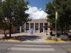 | United States Post Office-Los Alamos, New Mexico | building | 2015 | 15000493 |
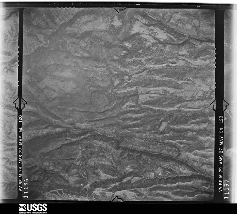
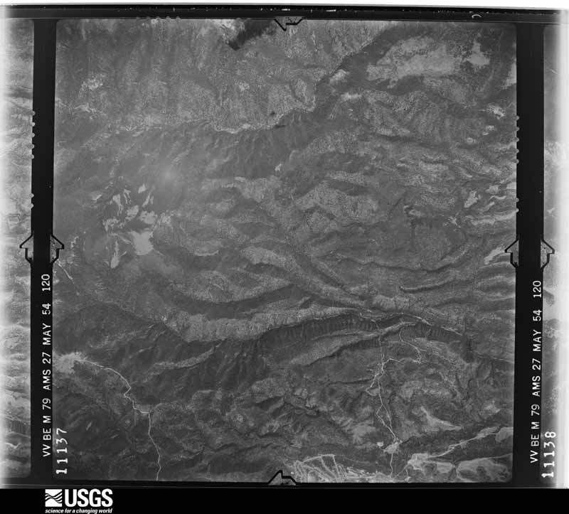
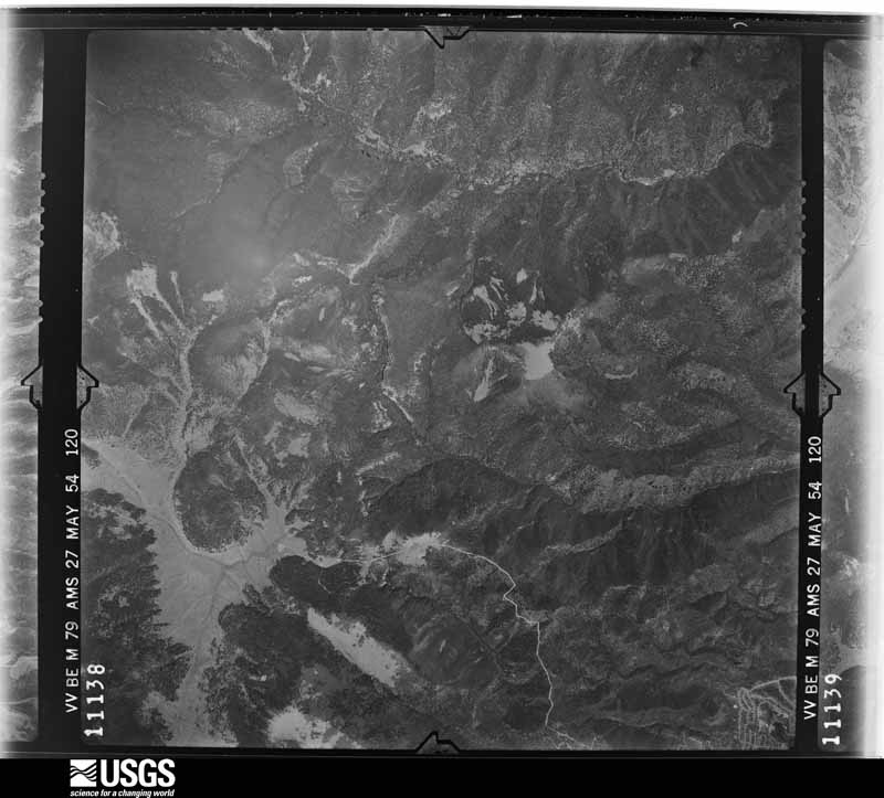
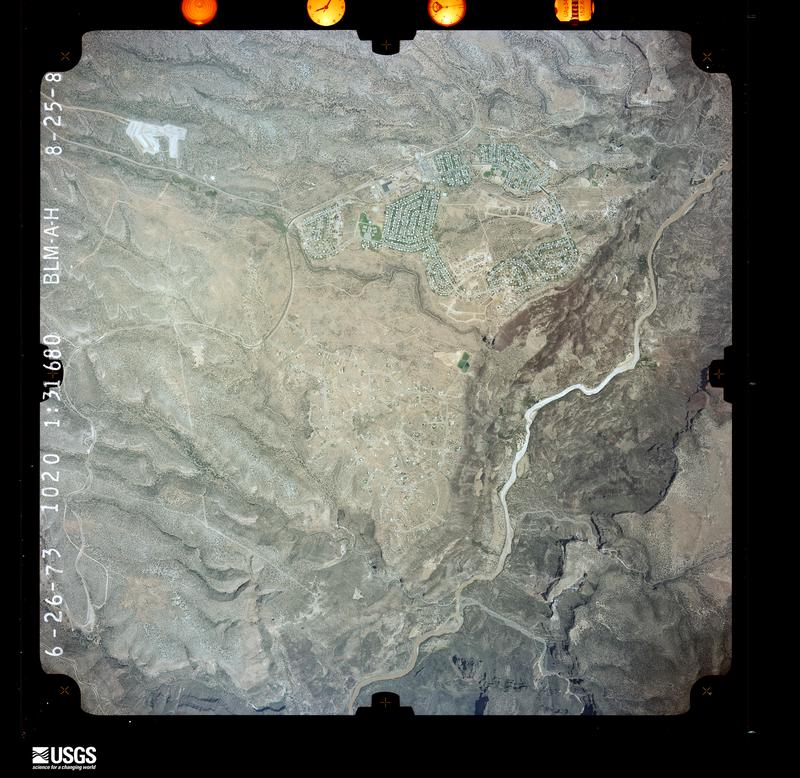
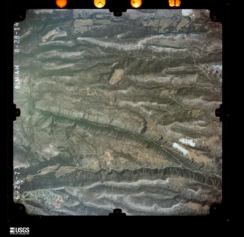
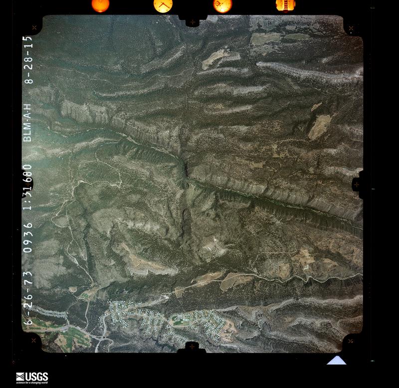
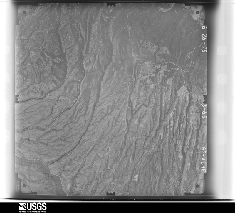
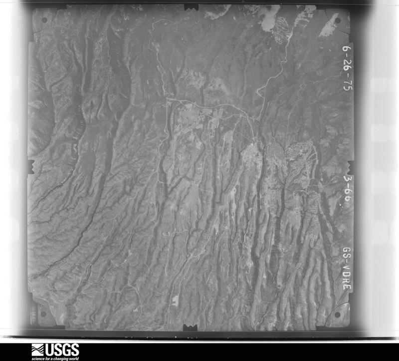
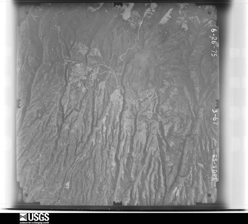
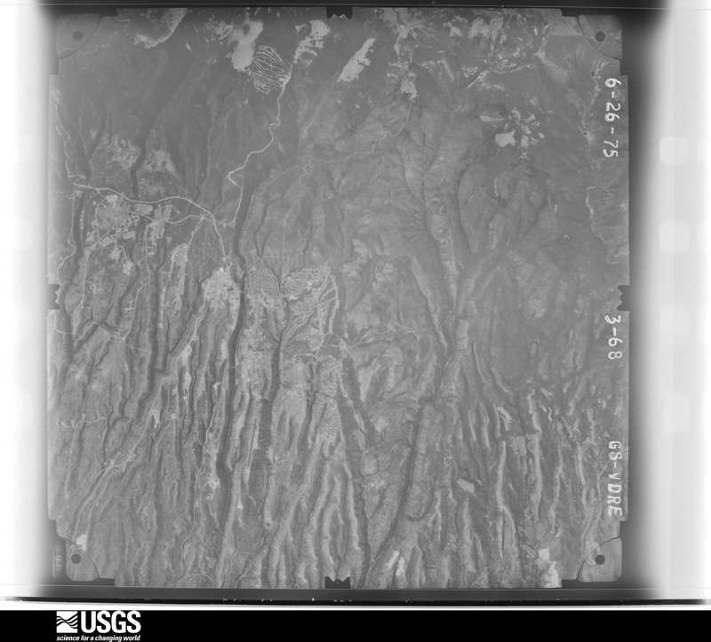
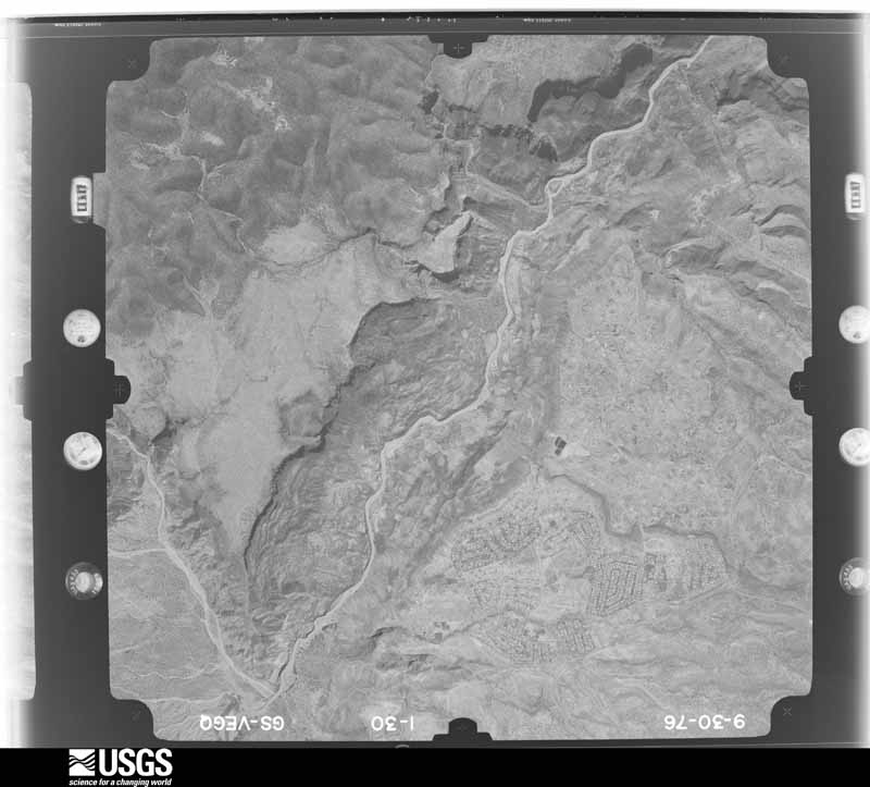
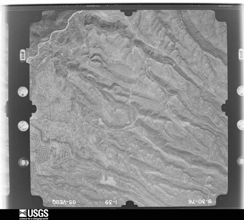
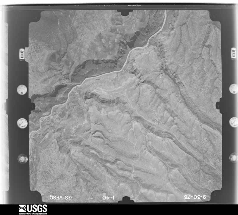
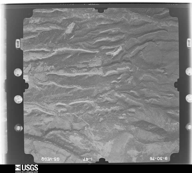
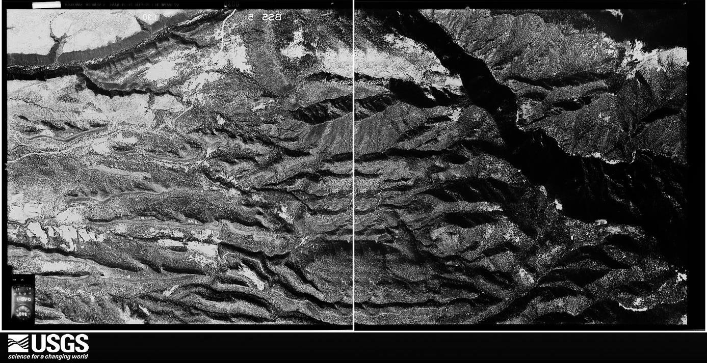
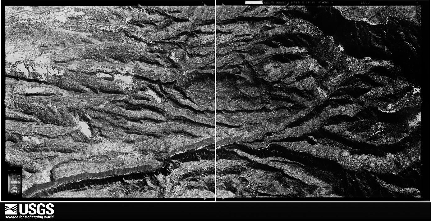
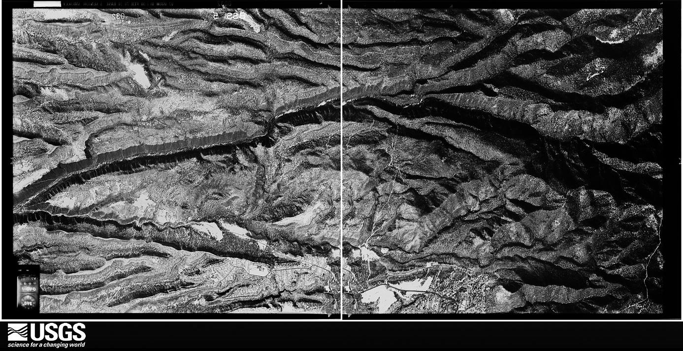
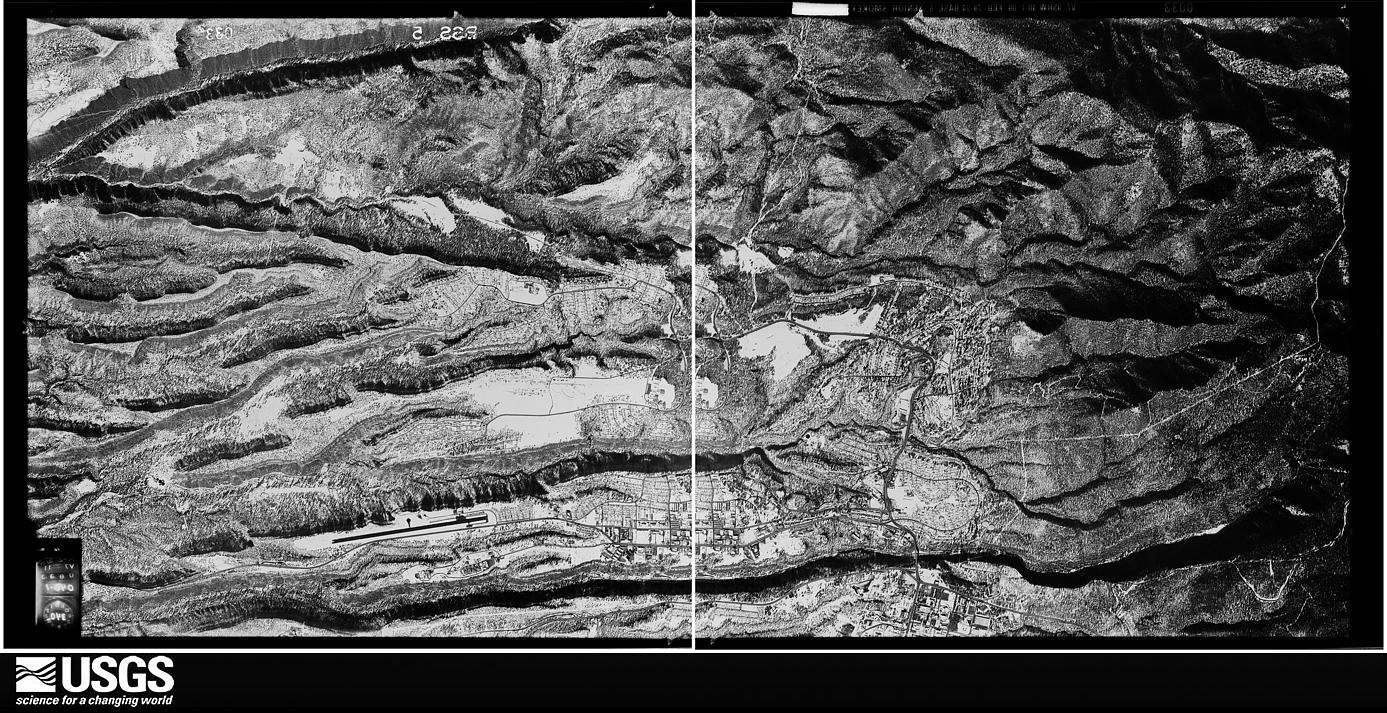
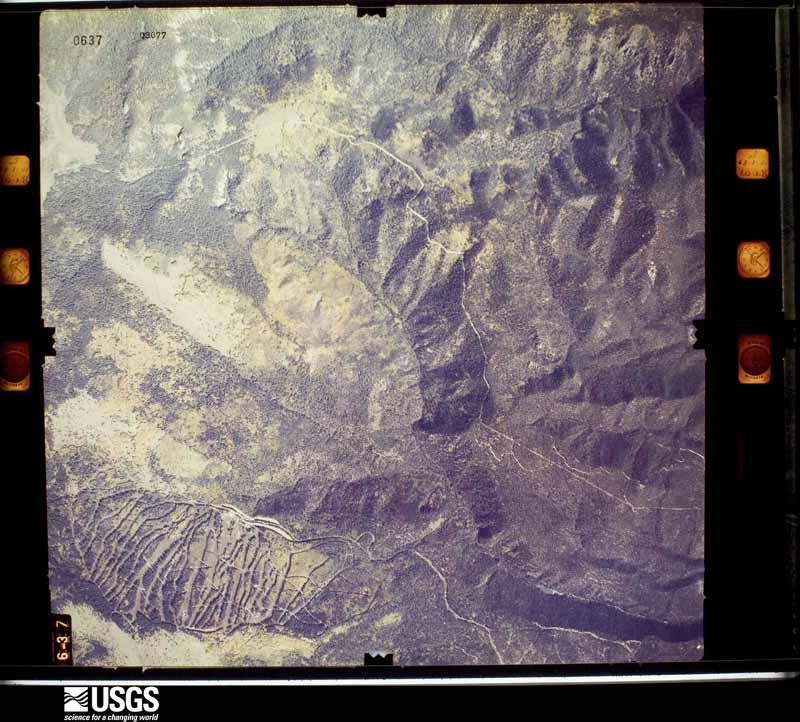
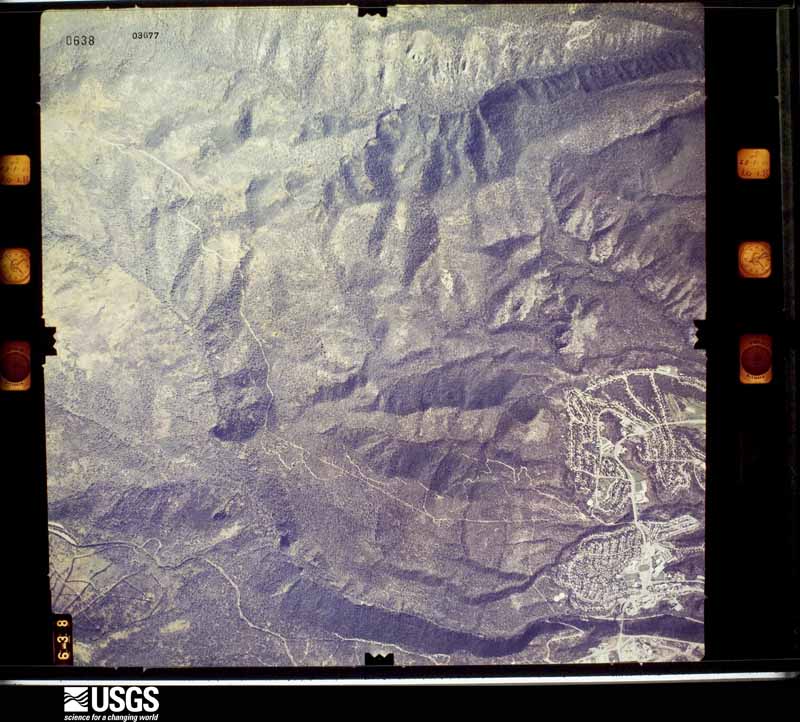
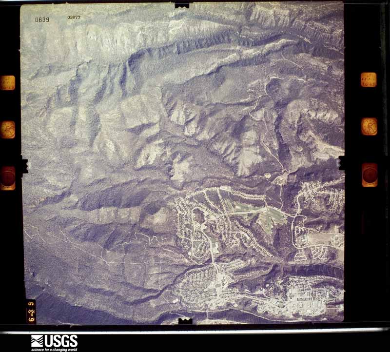
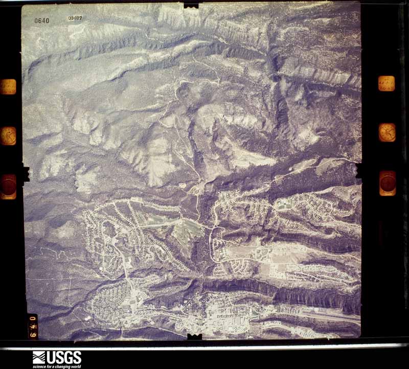
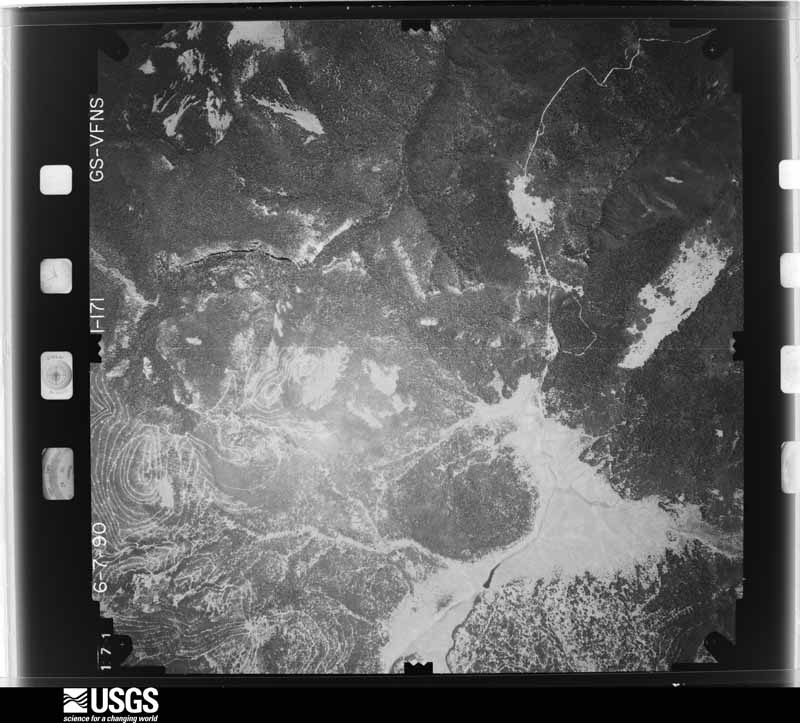
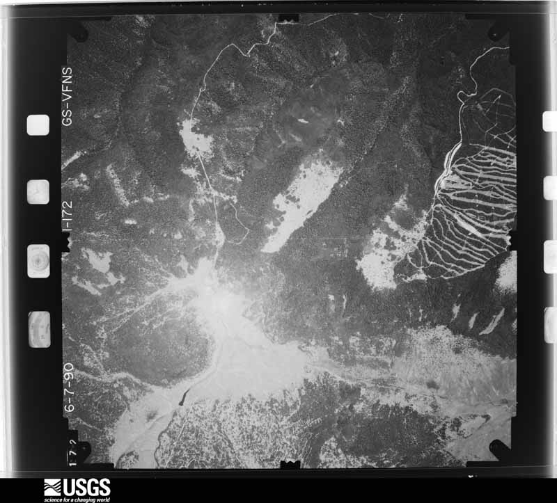
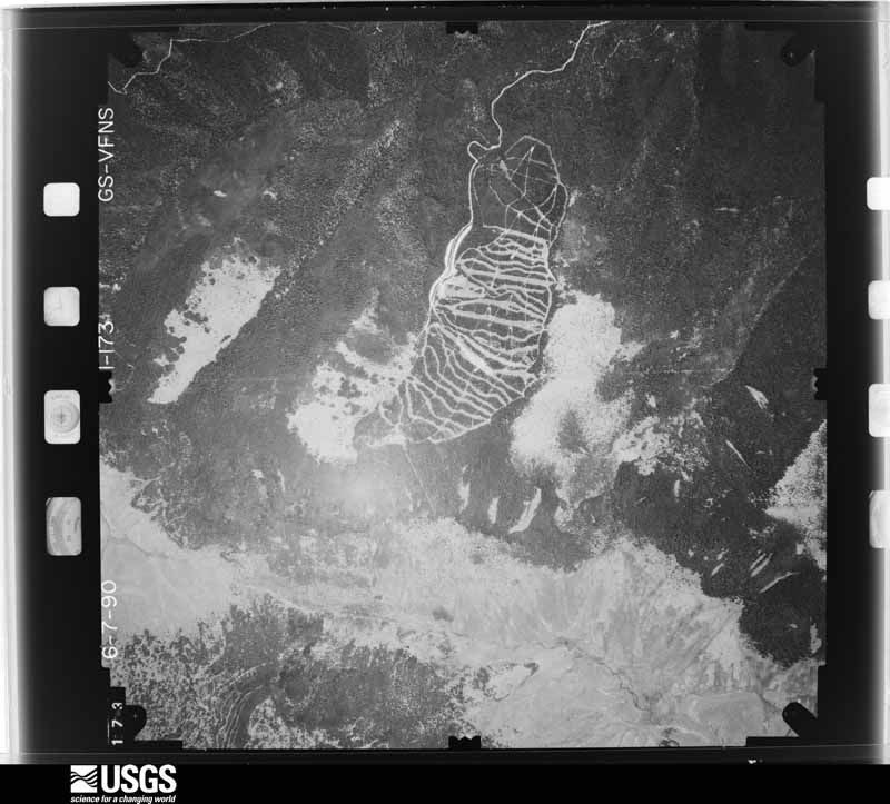
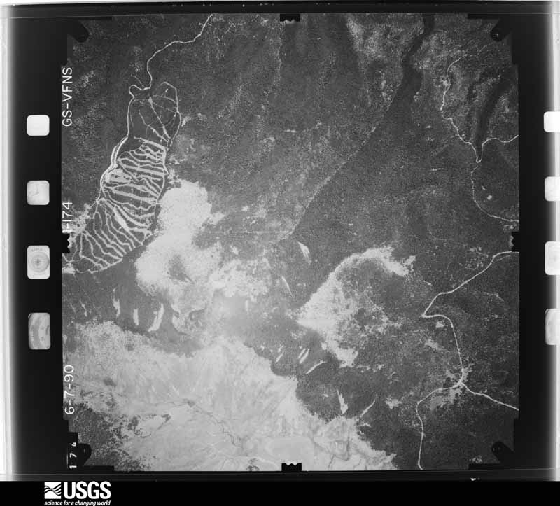
Flown by the U.S. Geological Survey between 1937 and 1989, the Aerial Photo Single Frames collection is the definitive mid-century view of the land: fields, roads and rivers as the camera saw them. The Survey holds 385 frames inside the rectangle that bounds this county; the 26 frames below were taken over the county itself, chosen across the decades of flights (at most four a year from that rectangle), so one flight cannot crowd out the rest. The full set is free to browse and download at EarthExplorer under the dataset Aerial Photo Single Frames.
The thermometers that kept this county's weather, and the gages that measured the flow of its streams, as the federal records hold them. The extremes below are measured values from those records, not estimates.
Who lived here in 1950, one enumeration district at a time, as the Census Bureau described each district. Each row opens its official National Archives result, with Population Schedules and ED Maps available there.
Every wildfire the federal occurrence database records inside this county: 197 of them, burning about 383 acres. 153 started naturally and 9 were recorded as arson. Each settlement page carries the fires within five miles of it.
| Reported cause | Fires |
|---|---|
| Natural | 153 |
| Recreation and ceremony | 18 |
| Missing data/not specified/undetermined | 10 |
| Arson/incendiarism | 9 |
| Debris and open burning | 3 |
| Power generation/transmission/distribution | 2 |
| Misuse of fire by a minor | 2 |
The five largest, by the area the report gives. One of them was set deliberately.
| Date | Cause | Size | Reported by | Name on the report |
|---|---|---|---|---|
| 10 May 2000 | Debris and open burning | 294 acres | Northern Pueblos Agency | C. GRANDE |
| 26 July 1997 | Natural | 19 acres | Bandelier National Monument | BURNT MESA |
| 29 March 2019 | Power generation/transmission/distribution | 8.0 acres | Bernalillo District | 19-60710355N |
| 3 May 2000 | Arson/incendiarism | 7.0 acres | Santa Fe National Forest | GUAJE |
| 20 June 2004 | Missing data/not specified/undetermined | 4.9 acres | New Mexico State Forestry Division | LOS ALAMOS |
| 29 June 1994 | Natural | 4.0 acres | Santa Fe National Forest | not named |
| 18 July 2020 | Natural | 3.5 acres | Santa Fe National Forest | QUEMAZON |
| 24 July 2018 | Natural | 3.0 acres | Santa Fe National Forest | AMERICAN |
Every settlement page carries the fires within five miles of it - see the settlement index below.
The NOAA Storm Events Database holds 58 reports for this county, causing no deaths, no injuries and about $1,509,800,000 in recorded property damage. Each settlement page carries the reports that name it.
| Kind of event | Reports |
|---|---|
| Hail | 37 |
| Flash Flood | 13 |
| Thunderstorm Wind | 4 |
| Wildfire | 1 |
| Dust Devil | 1 |
| Funnel Cloud | 1 |
| Lightning | 1 |
The most serious of them, by death, then injury, then recorded damage. The accounts are quoted exactly as the forecast office filed them.
| When | Event | Place named | Harm | What the report says |
|---|---|---|---|---|
| May 2000 | Wildfire | Los Alamos | $1,500,000,000 | no account filed |
| August 2011 | Flash Flood | Los Alamos | $6,000,000 | After 1 to 1.5 inches of rain fell on the northern portion of the Las Conchas burn scar, flash flooding was reported in Santa Clara Canyon. Four people that were working in the canyon had to be rescued by helicopter. |
| July 2001 | Flash Flood | Los Alamos | $3,500,000 | no account filed |
| August 2001 | Flash Flood | Los Alamos | $100,000 | Brief heavy rain and strong runoff caused more damage to North Road in Los Alamos where recent drainage upgrades and repairs were washed away. North Road continues to suffer damage with such rapid and high runoff from the burned areas of Pueblo Canyon which have not recovered from last years Cerro Grande fire storm. |
| July 2012 | Flash Flood | Los Alamos | $50,000 | Mud, logs and large rocks washed onto State Road 501 (West Jemez Rd.) near State Road 4, as well as in Los Alamos Canyon and along Camp May road. Heavy equipment and road graders were needed to clear the debris. |
| October 2012 | Hail | (Lam)Los Alamos Airport | $50,000 | KOB-TV reported from the Los Alamos Monitor Newspaper that multiple aircraft at the Los Alamos Airport were damaged. A thin metal surface on numerous planes was dinged and dented due to large hail. The Airport Manager was reported as saying up to 18 planes were damaged. |
| May 2013 | Dust Devil | Los Alamos | $30,000 | Roof of gymnasium torn off and dropped onto library and playground area at Barranca Mesa Elementary School. |
| July 2009 | Hail | (Lam)Los Alamos Airport | $25,000 | The hail dented automobiles and cracked wind shields. |
| July 2009 | Hail | (Lam)Los Alamos Airport | $25,000 | The hail caused extensive damage to cars. |
| October 2012 | Hail | Los Alamos | $10,000 | Newspaper report with images of significant hail damage to a mobile home in Los Alamos. Home owners reported hail was ping pong ball sized. Location is estimated from article giving home address. Time is estimated, based on radar imagery and other hail reports in the area. All images attached to this event are courtesy of the Los Alamos Daily Post newspaper. |
| August 2008 | Flash Flood | White Rock | $10,000 | Boulders and several rock slides poured onto route 4 between White Rock and the Bandelier National Monument due to heavy rain. |
| June 2025 | Hail | (Lam)Los Alamos Airport | - | Two different reports received of quarter size hail on the north side of Los Alamos. |
| July 2024 | Hail | (Lam)Los Alamos Airport | - | A trained spotter in Los Alamos reported nickel size hail from a thunderstorm. |
| June 2024 | Thunderstorm Wind | White Rock | - | A Los Alamos National Laboratory mesonet 5 miles south southwest of Los Alamos recorded a wind gust of 59 mph from a severe thunderstorm. |
| June 2024 | Thunderstorm Wind | (Lam)Los Alamos Airport | - | A Los Alamos National Laboratory mesonet station 3 miles east southeast of Los Alamos recorded a wind gust of 67 mph from a severe thunderstorm. |
| May 2024 | Hail | Los Alamos | - | Los Alamos Sky Cam and pictures from local residents showed significant accumulations of pea to penny size hail in downtown Los Alamos from a thunderstorm. Hail accumulation depth looked to be around 2 to 3 inches based on tire track marks on the road. |
| May 2020 | Hail | Los Alamos | - | Hail up to the size of nickels reported in Los Alamos. |
| June 2017 | Hail | Los Alamos | - | Hail up to the size of nickels in Los Alamos. |
| June 2017 | Hail | Los Alamos | - | Hail up to the size of half dollars in Los Alamos. |
| June 2017 | Hail | Los Alamos | - | Hail up to the size of nickels in Los Alamos. |
| June 2017 | Hail | Los Alamos | - | Hail up to the size of quarters in Los Alamos. |
| August 2016 | Lightning | Los Alamos | - | Lightning splintered a tree at the Los Alamos Golf Course near 16 Los Alamos High School Golf Team members and four coaches. The strike occurred at around 4 pm, about 300 feet away from where the team was practicing. Several of the students reported feeling a strong static electricity sensation flow through their bodies. Fortunately, no injuries occurred. |
| October 2015 | Hail | Los Alamos | - | Penny to nickel size hail covered the ground. |
| July 2013 | Flash Flood | Los Alamos | - | Power outages as well as flooding in the basement at Los Alamos National Labs were reported. An isolated strong cell formed over the area and stayed generally stationary for 2 hours. Rainfall amounts over 1.5 were recorded at sites across LANL. |
| August 2013 | Funnel Cloud | White Rock | - | A funnel cloud developed just to the southwest of White Rock. A photo taken by Karl Maness showed a well developed funnel as viewed from the LANL Emergency Operations Center. |
| May 2012 | Hail | Los Alamos | - | Quarter size hail reported in Los Alamos. |
| May 2012 | Hail | Los Alamos | - | The emergency manager reported dime to penny size hail. |
| October 2012 | Hail | Los Alamos | - | Quarter size hail reported at the Los Alamos airport. |
| October 2012 | Hail | Los Alamos | - | Hail piled up to a depth of four inches. County officials had to utilize snow plows to clear hail piles from roadways. |
| July 2012 | Flash Flood | Los Alamos | - | The intersection of State Road 4 and State Road 501 (West Jemez Rd.) was closed due to flash flooding. |
| August 2011 | Flash Flood | Los Alamos | - | Water and debris flowed over Highway 501 after approximately one inch of rain fell over central portions of the Las Conchas burn scar. The highway was temporarily closed. |
| August 2011 | Flash Flood | Los Alamos | - | Both Highway 4 and 501 were closed in the Jemez Mountains due to flooding. Heavy rains on the Las Conchas burn scar caused significant runoff and debris flow over the roadways. At least a 50 yard stretch of debris several inches deep was noted along State Highway 501. Both roads had to be cleared by the Highway Department before traffic was allowed to pass. |
| July 2009 | Hail | Los Alamos | - | The security team at Los Alamos National Laboratory reported penny to nickel sized hail. |
| July 2009 | Hail | (Lam)Los Alamos Airport | - | Spotters and law enforcement reported golfball size hail in Los Alamos for at least 5 minutes. |
| July 2005 | Hail | Los Alamos | - | A brief and intense hail storm with stones ranging form one half inch to one inch in diameter covered city streets and parking lots to a depth of 4 to 8 inches. |
| June 2000 | Flash Flood | Los Alamos | - | Heavy ash and debris swept off the Cerro Grande Burn area into Water and Pajarito Canyons during heavy rain of 1 inch just west of Los Alamos. |
| August 2000 | Flash Flood | Los Alamos | - | Heavy storm water runoff flooded Guaje and Garcia Canyons below the Cerro Grande Burn area during a burst of 1 inch rainfall. |
| August 2024 | Hail | (Lam)Los Alamos Airport | - | no account filed |
| October 2015 | Hail | Los Alamos | - | no account filed |
| July 2009 | Hail | (Lam)Los Alamos Airport | - | no account filed |
| July 2009 | Hail | (Lam)Los Alamos Airport | - | no account filed |
| May 2008 | Hail | Los Alamos | - | no account filed |
| May 2008 | Hail | (Lam)Los Alamos Airport | - | no account filed |
| June 2006 | Hail | Los Alamos | - | no account filed |
| June 2006 | Hail | Los Alamos | - | no account filed |
| June 2000 | Flash Flood | Los Alamos | - | no account filed |
| October 2000 | Hail | Los Alamos | - | no account filed |
| July 2000 | Flash Flood | Los Alamos | - | no account filed |
| July 1990 | Hail | not stated | - | no account filed |
| July 1990 | Hail | not stated | - | no account filed |
| July 1990 | Thunderstorm Wind | not stated | - | no account filed |
| July 1989 | Hail | not stated | - | no account filed |
| July 1989 | Hail | not stated | - | no account filed |
| May 1989 | Hail | not stated | - | no account filed |
| December 1977 | Thunderstorm Wind | not stated | - | no account filed |
| September 1968 | Hail | not stated | - | no account filed |
| June 1965 | Hail | not stated | - | no account filed |
| July 1961 | Hail | not stated | - | no account filed |
The Survey's mineral resources record lists 1 working inside this county. It is closed or unrecorded. Each settlement page carries the workings within five miles of it.
| Commodity | Workings |
|---|---|
| Sand and Gravel, Construction | 1 |
The least common of them first, because a county's hundredth gravel pit says nothing its first ten did not.
| Where | Site | Commodity | Status | Recorded |
|---|---|---|---|---|
| Materials Pit 57-69-S | Sand and Gravel, Construction | Unknown |
Named settlements recorded in the Geographic Names Information System, each with the topographic sheets covering it. Villages, hamlets and abandoned places alike. Each is shown with the nearest named watercourse or landform and the survey quadrangle it falls on.
Los Alamos census division · 87544 · Near Acid Canyon · Guaje Mountain quadrangle
21 sheets, 1892 to 2002
White Rock census division · 87544 · Near Escobas Mesa · Frijoles quadrangle
21 sheets, 1892 to 2002
White Rock census division · 87547 · Near Pajarito Canyon · White Rock quadrangle
20 sheets, 1892 to 2002
The complete index, with nothing left out. Each of these is a separate record with its own page: a federal survey report, or the case file that argued a property on to the National Register. Both are public domain and reproduced word for word.