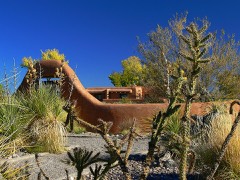
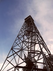
Block
From the record
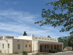
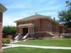
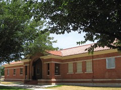
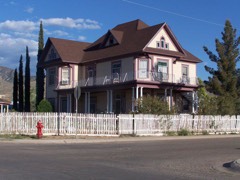
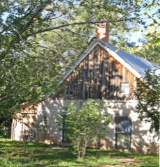
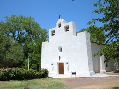
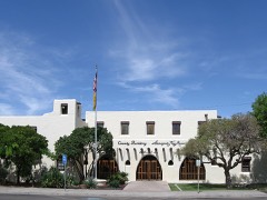
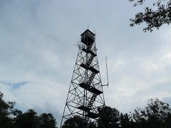
24 National Register listings published here.
Sources: the National Register database, National Park Service
135 topographic sheets and 5 fire insurance atlases across 1 place.
24 National Register listings published here.
Sources: the National Register database, National Park Service
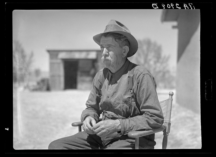
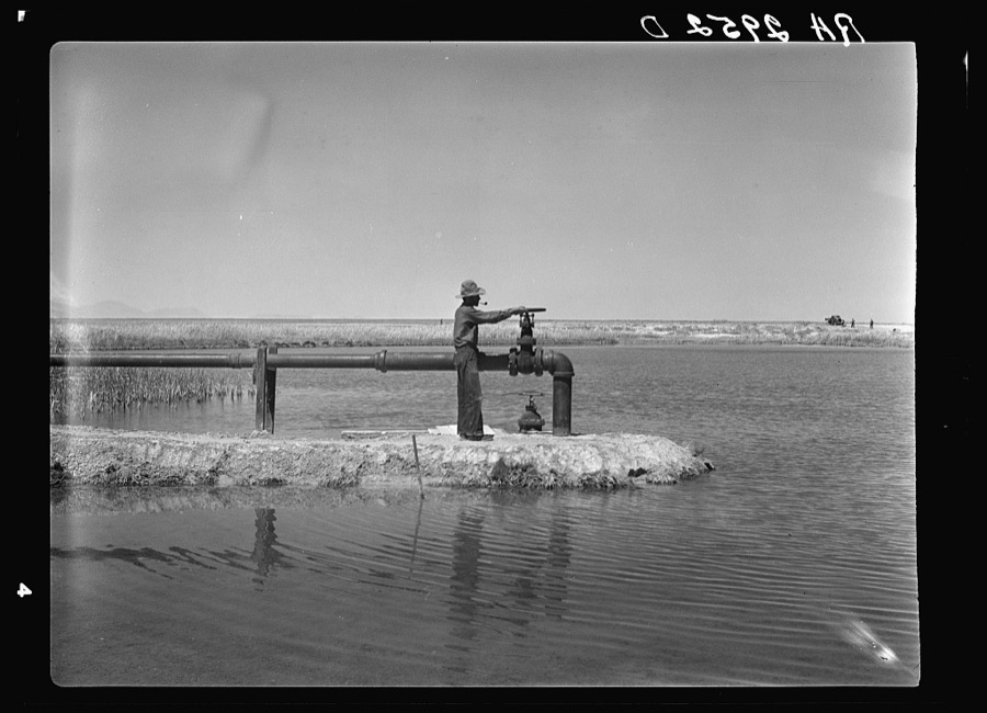
Taken for the Office of War Information and the Farm Security Administration, who photographed the country between 1935 and 1944. Works of United States government photographers, with no known restriction on use. Each opens its catalogue record.

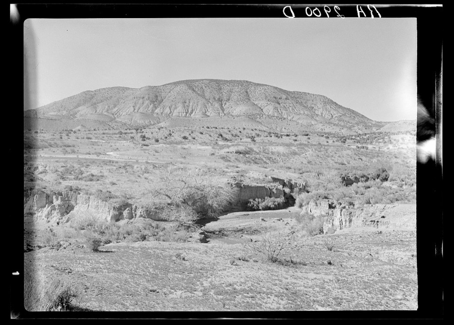
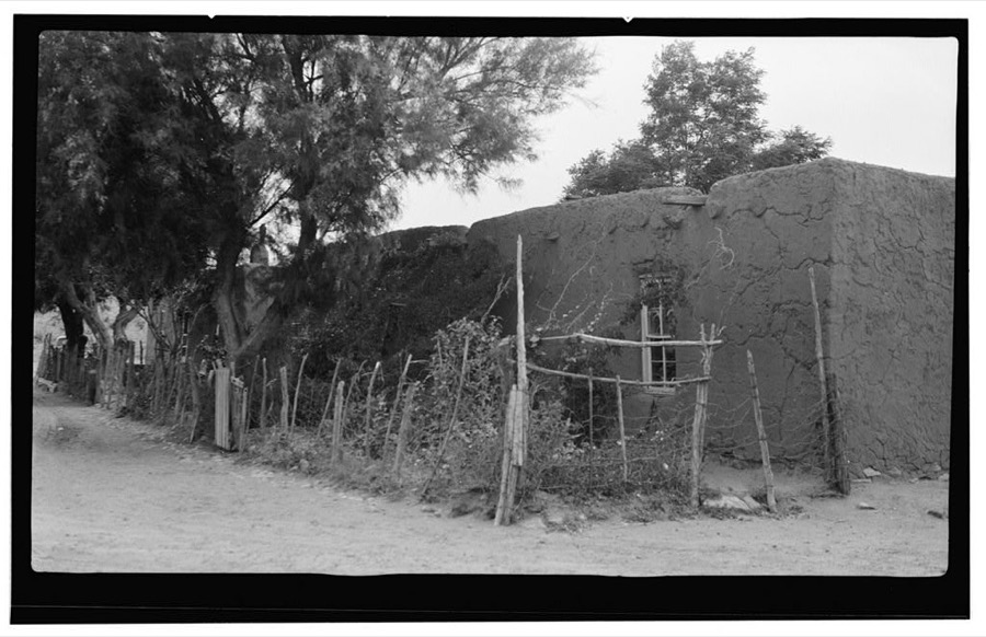
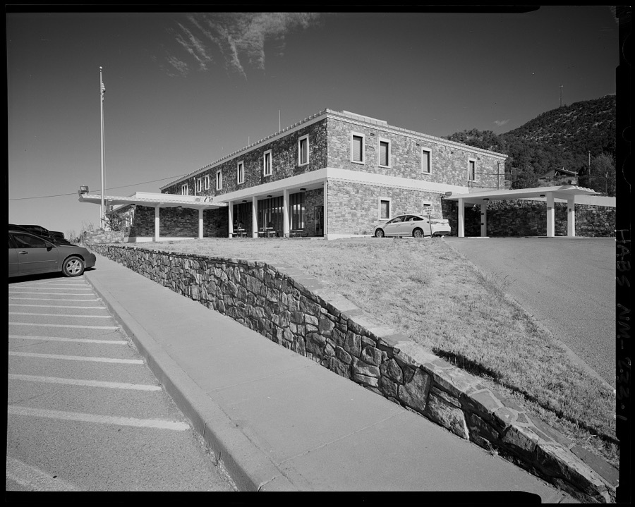
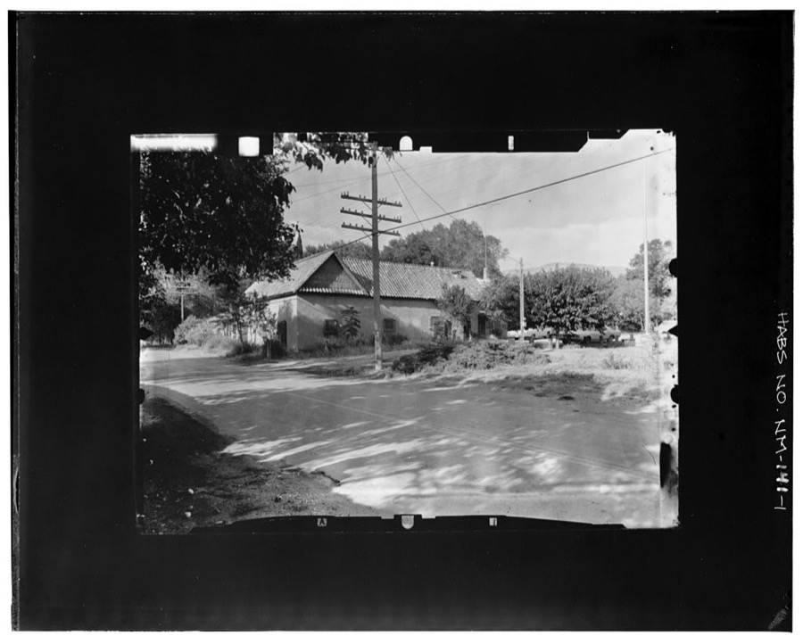
Every property in this county listed on the National Register of Historic Places, with the year it was listed and the federal nomination document.
Sampled issues, machine-read from the Library of Congress scan and published page by page, so every headline and column is searchable text.
Alamogordo, Otero County, N.M., 1912 to 1914. Machine-read from the Library of Congress scan.
Alamogordo, N.M., 1899 to 1912. Machine-read from the Library of Congress scan.
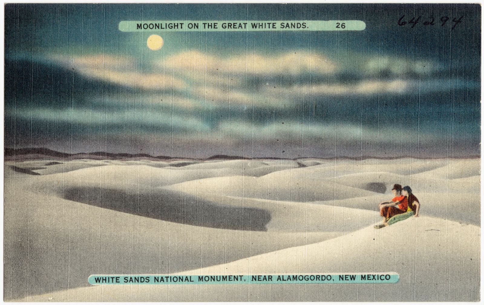
Selected from the Digital Public Library of America's 5 image records catalogued for this county. Every one shown here carries a public-domain status or a licence that permits reuse on a site that carries advertising; non-commercial, share-alike and restricted images are excluded. The selection is spread across the county's towns (at most eight per town), so no single institution's bulk upload crowds out the rest. Each opens the holding library's record, and the complete set at the Digital Public Library of America is one click away.


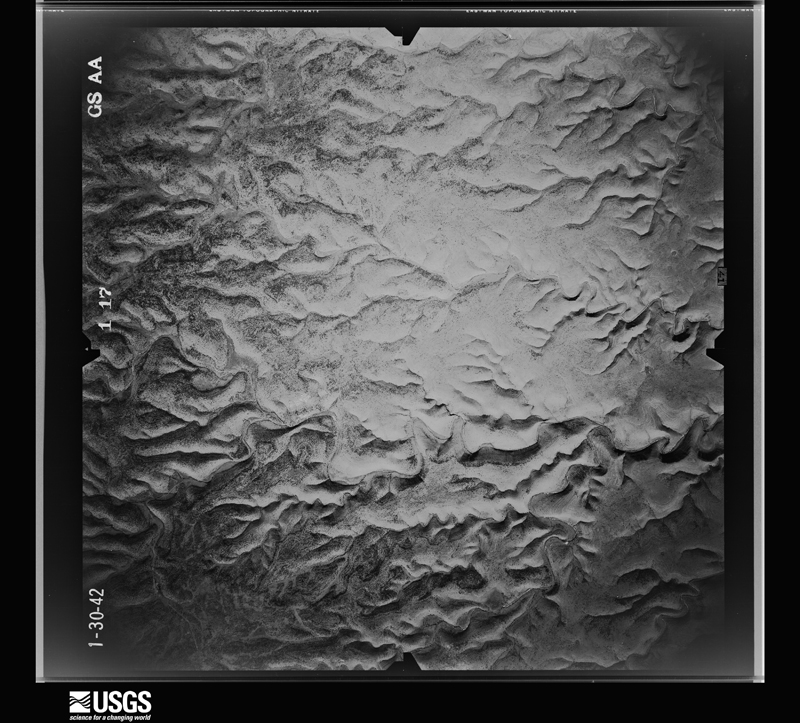
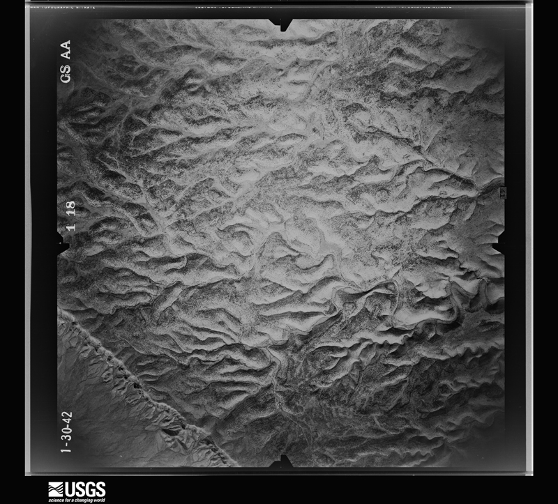
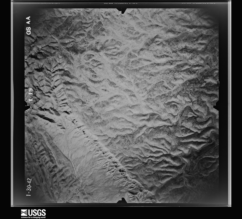
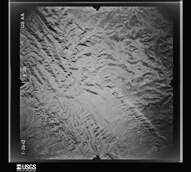
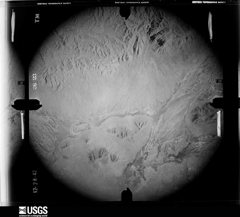
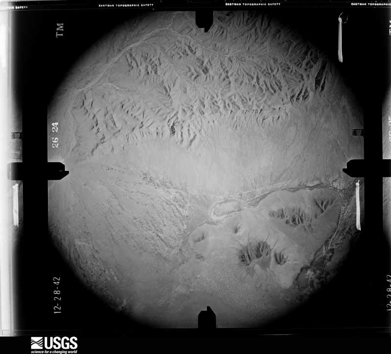
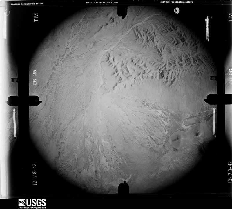
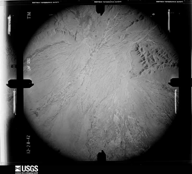
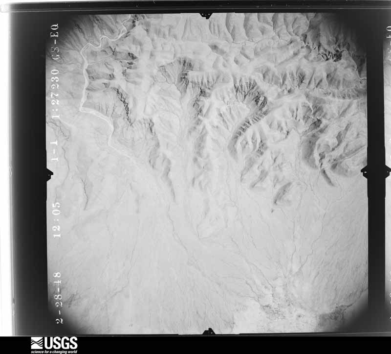
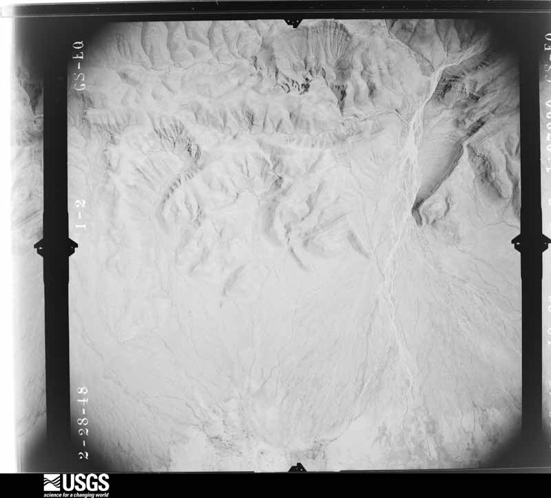
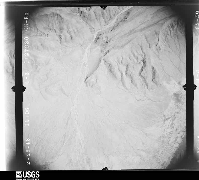
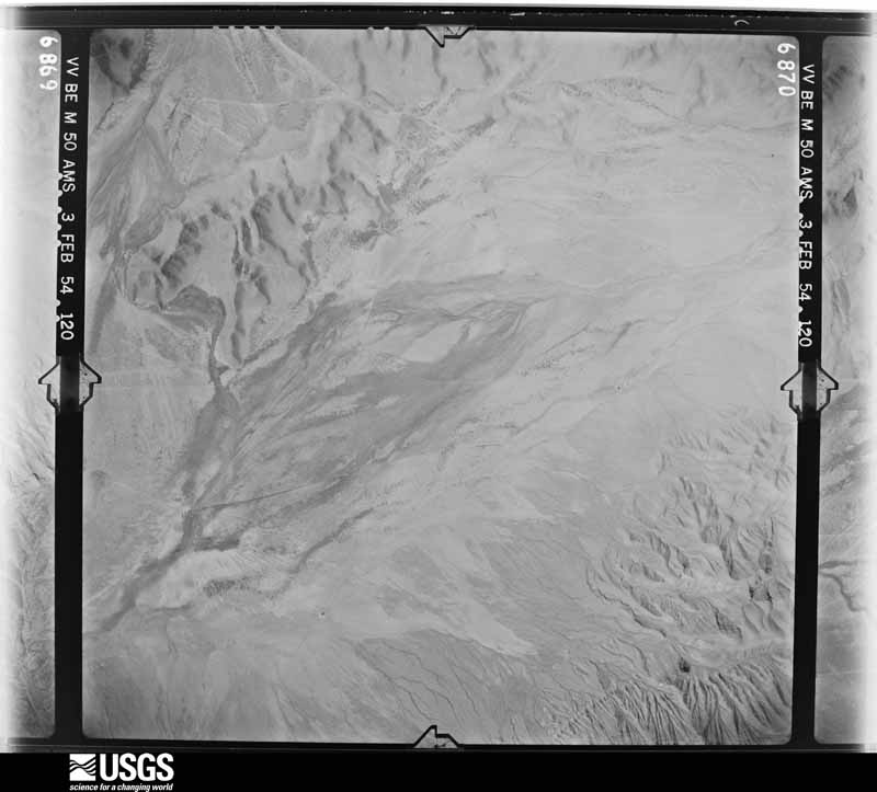
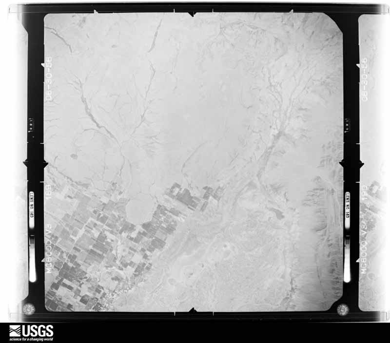
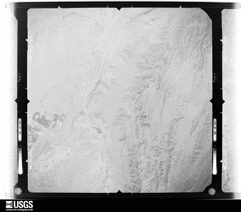
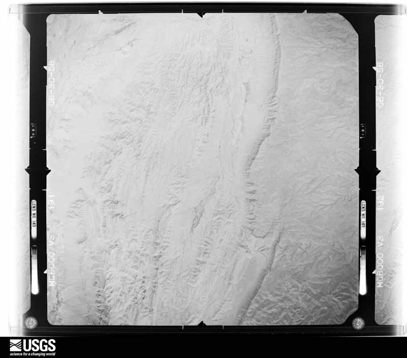
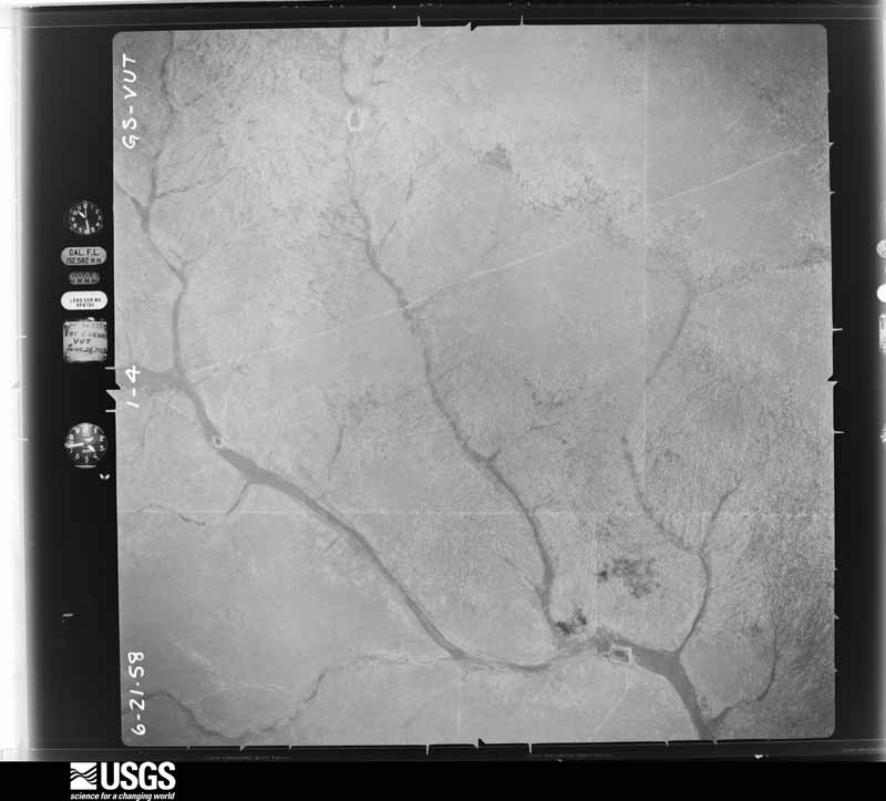
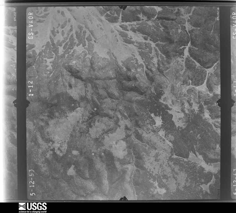
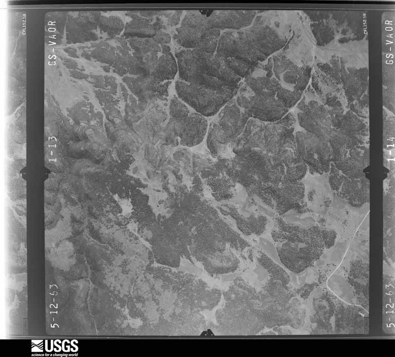
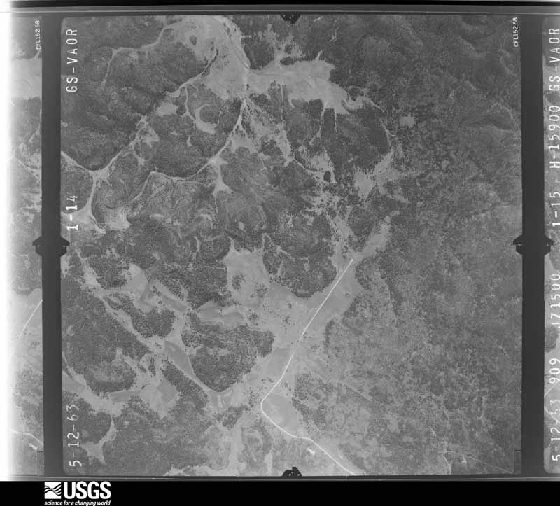
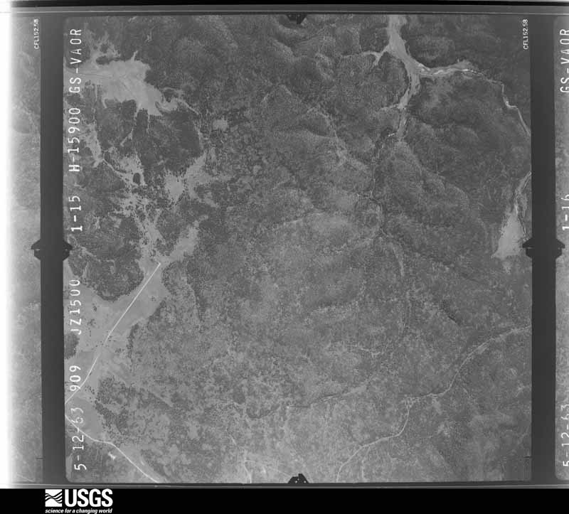
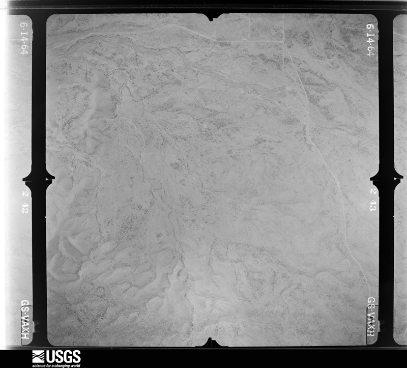
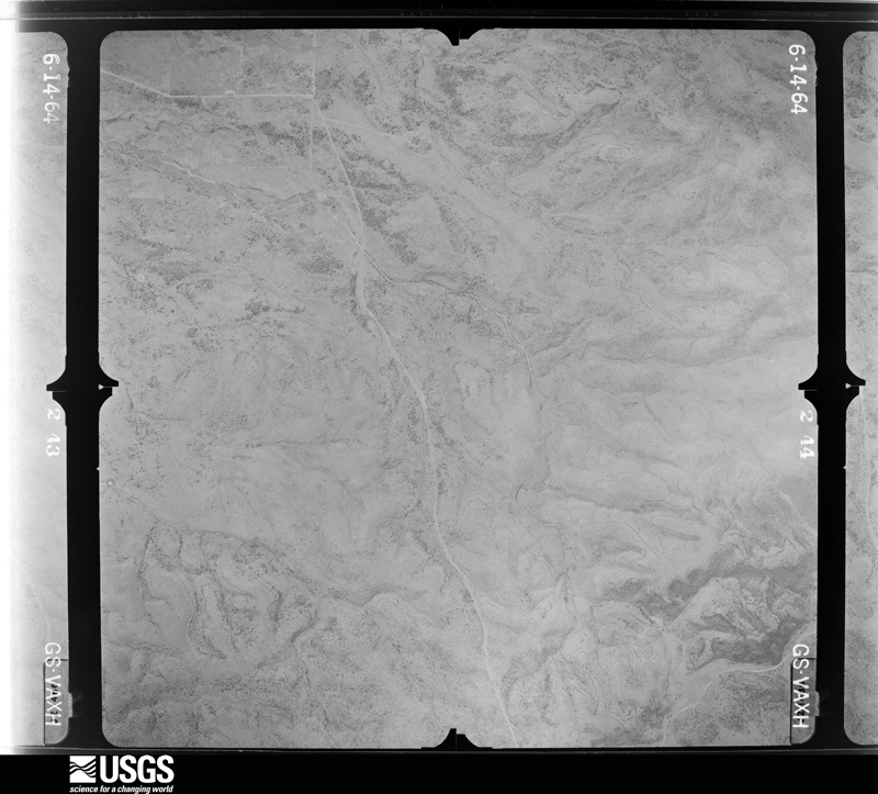
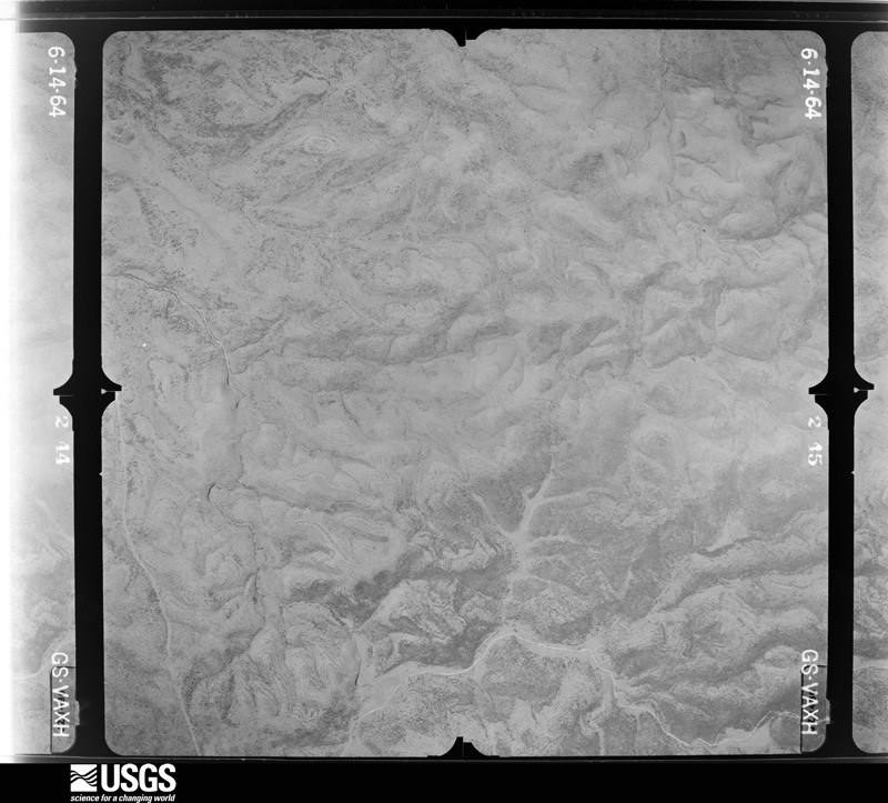
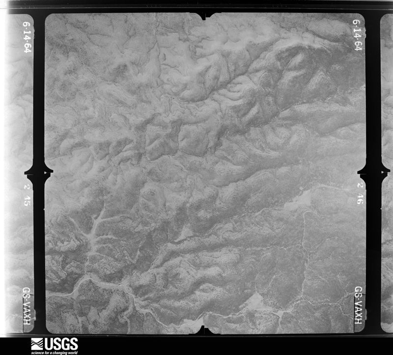
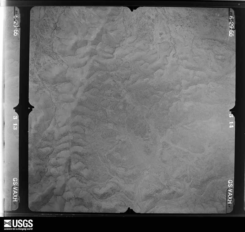
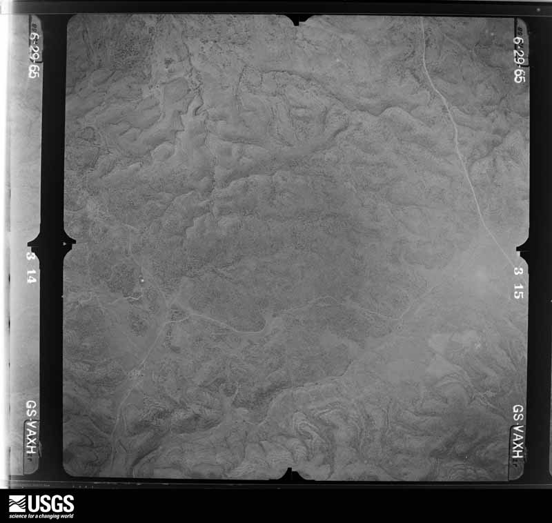
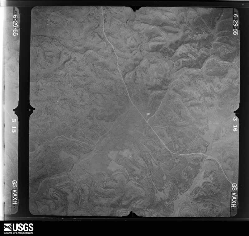
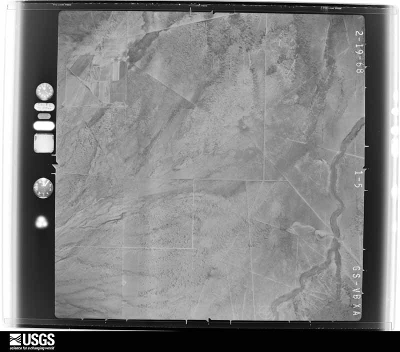
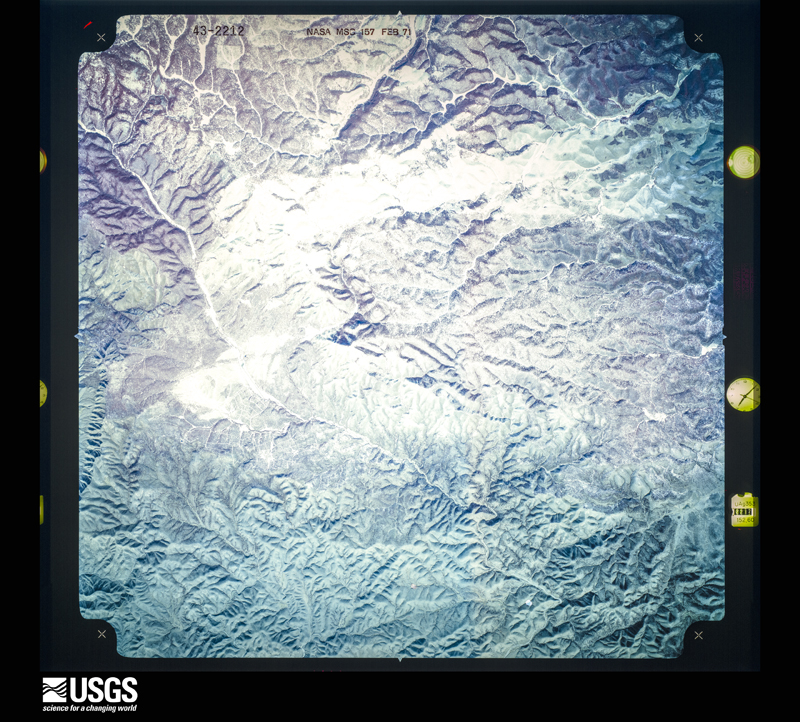
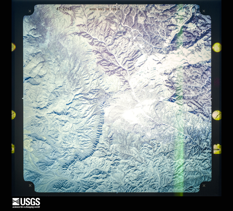
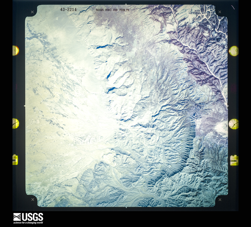
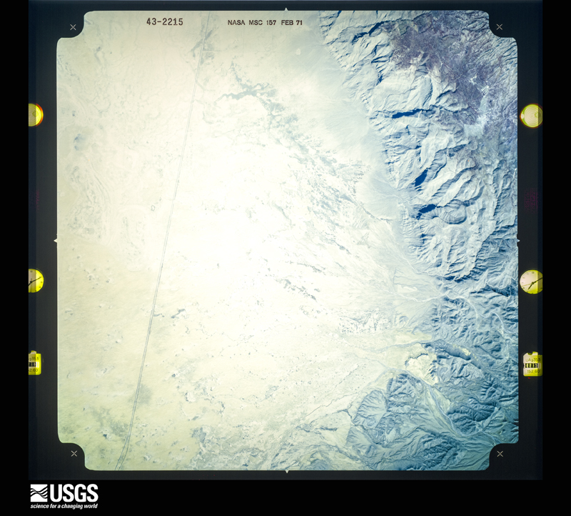
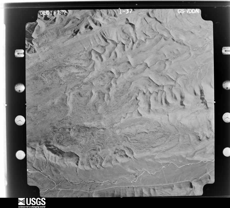
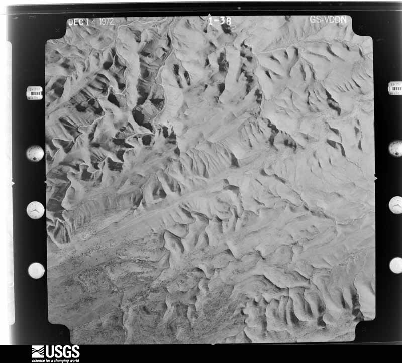
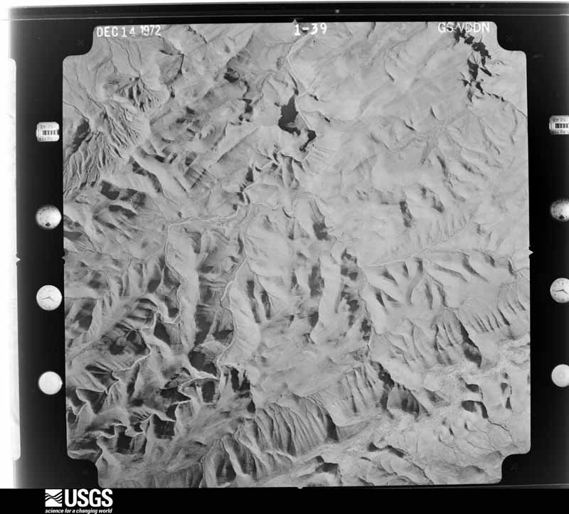
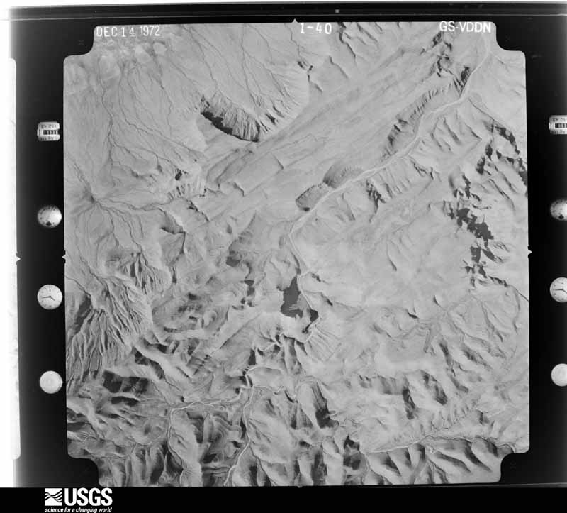
Flown by the U.S. Geological Survey between 1937 and 1989, the Aerial Photo Single Frames collection is the definitive mid-century view of the land: fields, roads and rivers as the camera saw them. The Survey holds 7,808 frames inside the rectangle that bounds this county; the 48 frames below were taken over the county itself, chosen across the decades of flights (at most four a year from that rectangle), so one flight cannot crowd out the rest. The full set is free to browse and download at EarthExplorer under the dataset Aerial Photo Single Frames.
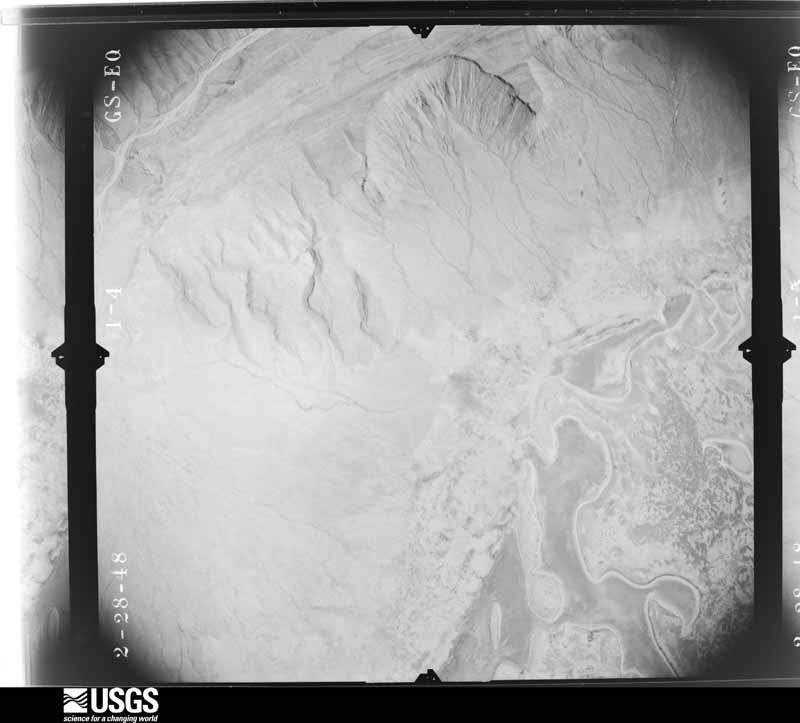
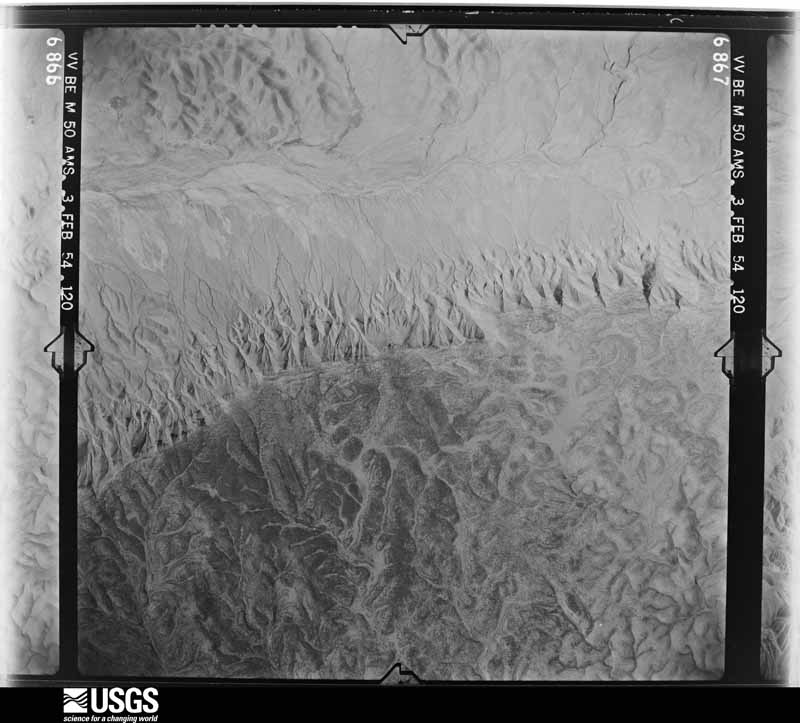
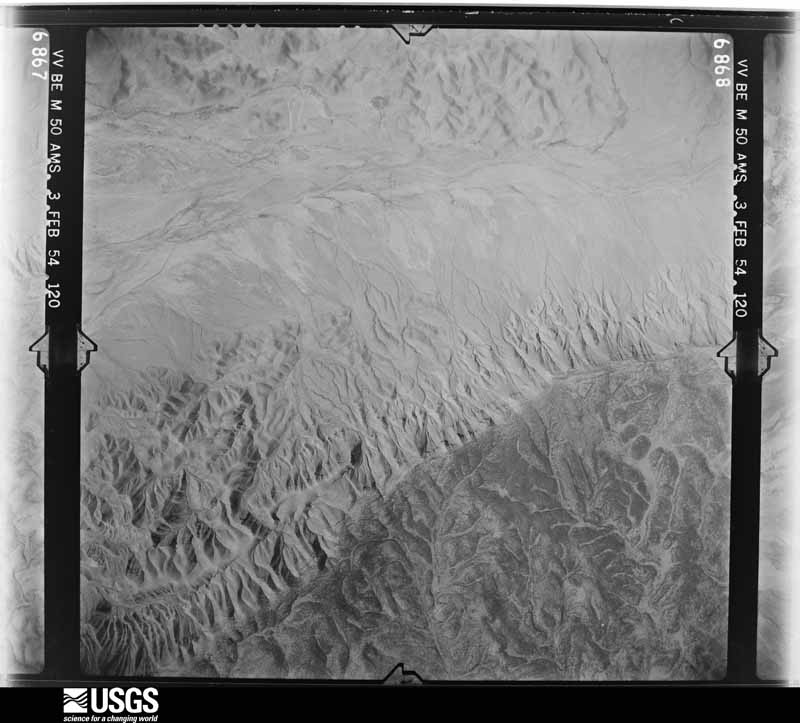
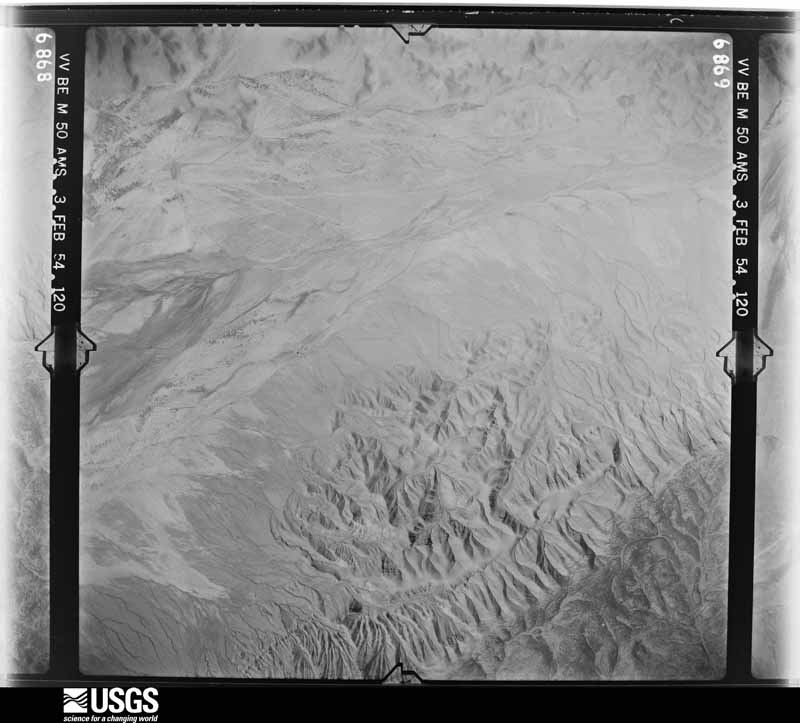
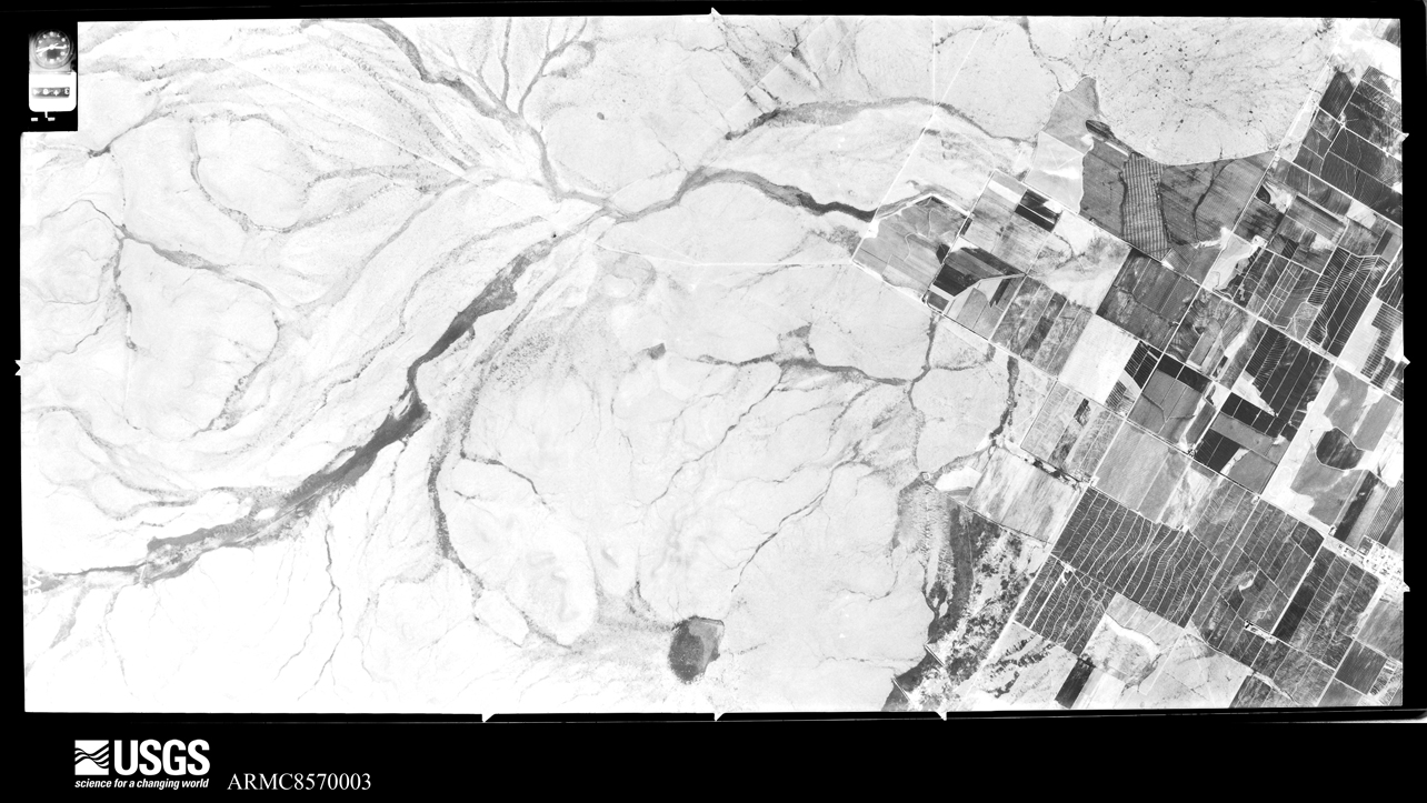
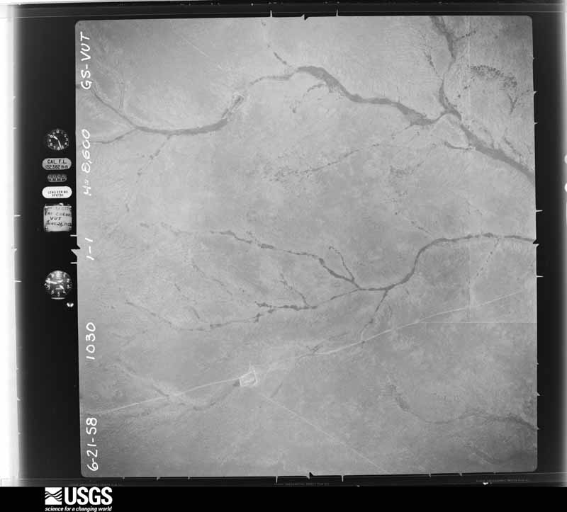
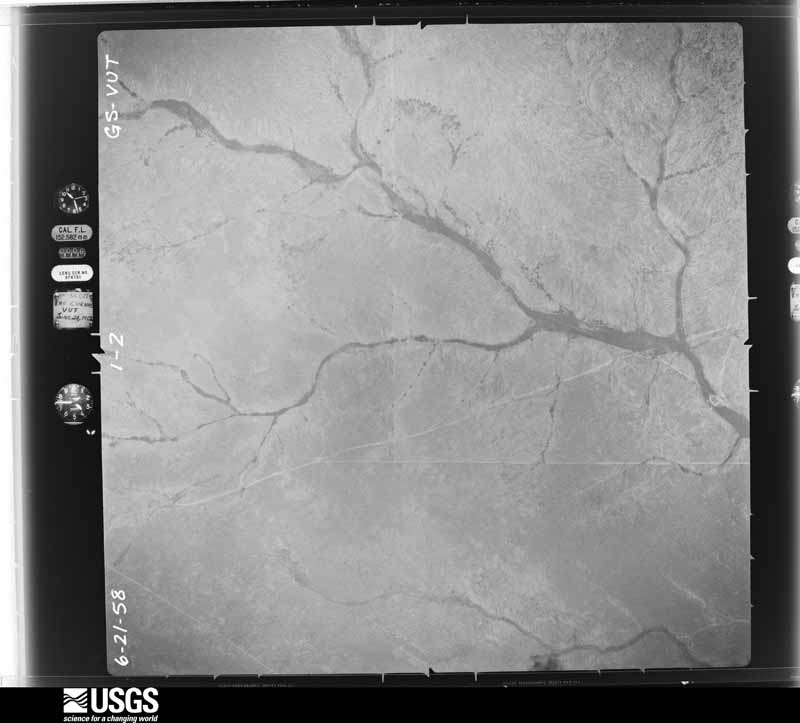
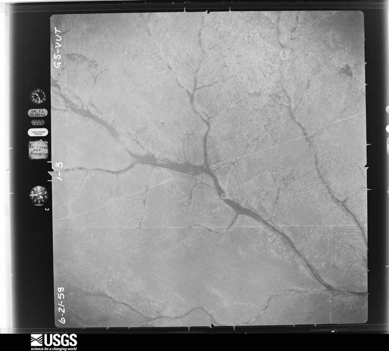
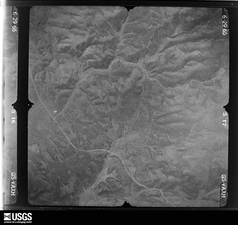
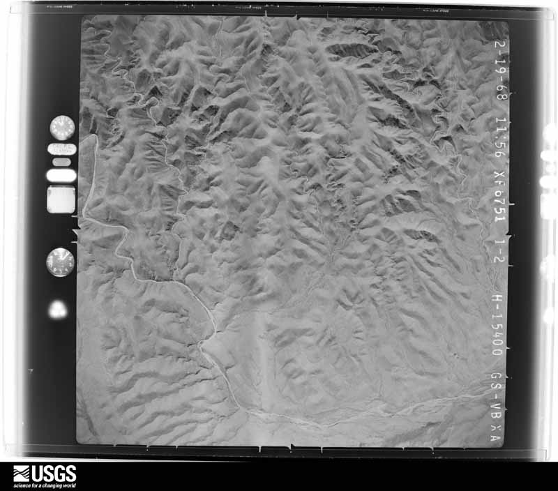
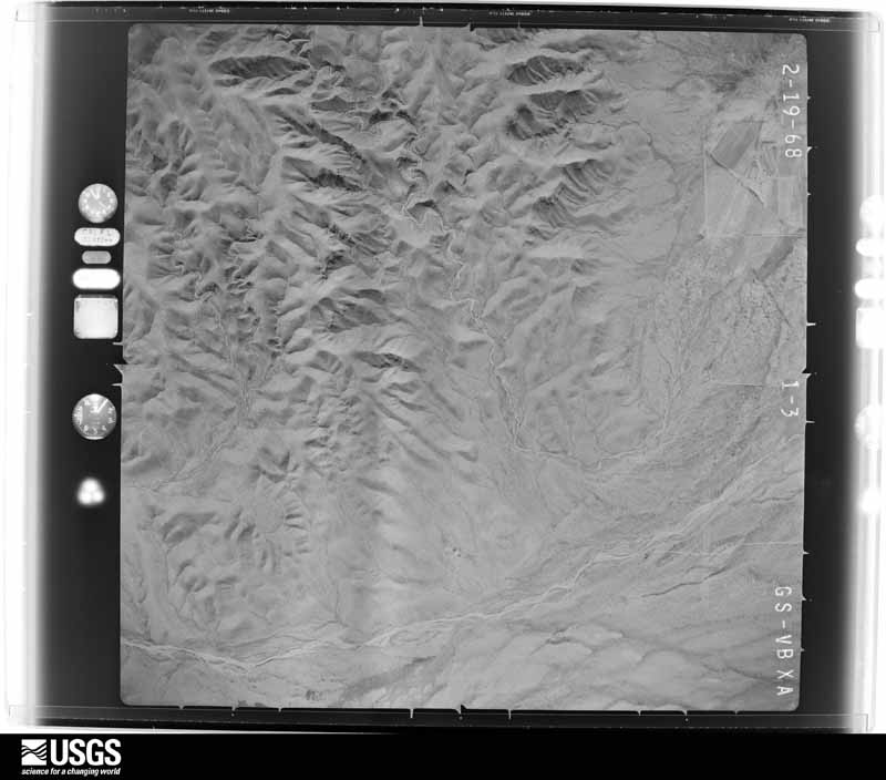
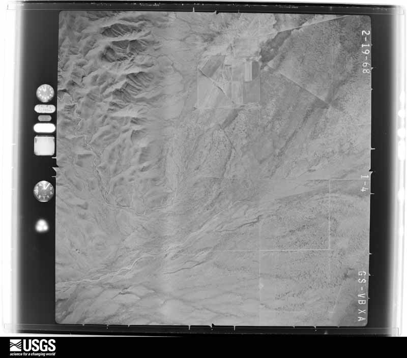
The thermometers that kept this county's weather, and the gages that measured the flow of its streams, as the federal records hold them. The extremes below are measured values from those records, not estimates.
Who lived here in 1950, one enumeration district at a time, as the Census Bureau described each district. Each row opens its official National Archives result, with Population Schedules and ED Maps available there.
Every wildfire the federal occurrence database records inside this county: 2,494 of them, burning about 345,329 acres. 872 started naturally and 139 were recorded as arson. Each settlement page carries the fires within five miles of it.
| Reported cause | Fires |
|---|---|
| Natural | 872 |
| Missing data/not specified/undetermined | 500 |
| Recreation and ceremony | 343 |
| Debris and open burning | 253 |
| Arson/incendiarism | 139 |
| Equipment and vehicle use | 120 |
| Misuse of fire by a minor | 83 |
| Power generation/transmission/distribution | 60 |
| Other causes | 52 |
| Smoking | 38 |
| Fireworks | 29 |
| Firearms and explosives use | 5 |
The five largest, by the area the report gives. One of them was set deliberately.
| Date | Cause | Size | Reported by | Name on the report |
|---|---|---|---|---|
| 18 June 2008 | Natural | 49,092 acres | Lincoln National Forest | ROCKY |
| 9 May 2011 | Power generation/transmission/distribution | 31,861 acres | Carlsbad Field Office | MAYHILL |
| 17 May 2000 | Arson/incendiarism | 19,000 acres | Las Cruces Field Office | HAY MEADOW |
| 20 July 2011 | Natural | 18,835 acres | Lincoln National Forest | ACREY |
| 23 March 2002 | Missing data/not specified/undetermined | 16,422 acres | Mescalero Agency | NUMBER 5#2 |
| 11 May 2000 | Power generation/transmission/distribution | 16,034 acres | Lincoln National Forest | SCOTTABLE |
| 30 April 2002 | Smoking | 16,020 acres | Lincoln National Forest | PENASCO |
| 1 June 1993 | Natural | 14,103 acres | Las Cruces Field Office | MASHED O |
Every settlement page carries the fires within five miles of it - see the settlement index below.
The NOAA Storm Events Database holds 312 reports for this county, causing no deaths, 5 injuries and about $7,212,760 in recorded property damage. Each settlement page carries the reports that name it.
| Kind of event | Reports |
|---|---|
| Hail | 121 |
| Thunderstorm Wind | 91 |
| Flash Flood | 69 |
| Tornado | 18 |
| Heavy Rain | 11 |
| Flood | 1 |
| Funnel Cloud | 1 |
The most serious of them, by death, then injury, then recorded damage. The accounts are quoted exactly as the forecast office filed them.
| When | Event | Place named | Harm | What the report says |
|---|---|---|---|---|
| June 2010 | Thunderstorm Wind | Desert | 4 hurt, $1,000 | A peak gust of 82 mph was reported 10 miles north of El Paso at the KQMG ASOS on the McGregor Range. The Fort Bliss Weather section reported four soldiers were injured when a field tent collapsed during the storm. |
| June 2019 | Tornado (EF1) | Boles | 1 hurt, $250,000 | Storm survey showed a mobile home was completely destroyed with 3 other residences receiving moderate damage due mainly to flying debris. Several out buildings including sheds and barns were either completely destroyed or heavily damaged. One out building was shifted off it's foundation and moved approximately 9 feet north. A metal silo used for storage was lifted off it's foundation and traveled airborne for approximately 400 feet before striking one of the residential structures. |
| May 2008 | Hail | Tularosa | $2,500,000 | Hail from quarter to golf ball size, with occasional hail stones the size of tennis balls accumulated to about 3 inches in the Tularosa area. The hail was driven by wind gusts up to 80 mph, and broke windows, damaged roofs and sidings to more than 500 homes in Tularosa. |
| June 2006 | Flash Flood | Alamogordo | $1,300,000 | no account filed |
| August 2006 | Flash Flood | Alamogordo | $600,000 | Heavy rainfall along the western slopes of the southern Sacramento Mountains led to excessive runoff and major flooding in Alamogordo and Boles Acres. Numerous roads throughout the area were closed, covered with water and debris. There were also some rescues of people trapped in their homes. |
| August 2006 | Flash Flood | East Portion | $400,000 | Several thunderstorms with heavy rains moved southward across the southern Sacramento Mountains, dropping 2 to 3 inches of rain. Flash flooding occurred from Cloudcroft to Timberon, with many roads washed out and structures damaged in the Timberon area. |
| May 2008 | Thunderstorm Wind | Tularosa | $360,000 | A wet microburst estimated at 80 mph destroyed a double wide mobile home, flipped several others, unroofed a few homes, and blew down several trees, power poles and power lines. |
| August 2006 | Flash Flood | Mayhill | $300,000 | A stationary thunderstorm dropped several inches of rain on Mayhill, with some residents and area ranchers reporting up to 5 inches in an hour. This resulted in a wall of water 9 to 10 feet high down the Rio Penasco River. Extensive flash flooding closed Highway 82, and damaged roads, bridges and homes. |
| May 1982 | Tornado (F2) | not stated | $250,000 | no account filed |
| June 2009 | Flash Flood | Wooten | $200,000 | Slow moving thunderstorms dropped nearly 3 inches of rain in the Cloudcroft area, which led to flash flooding in and near the town. Water was over two feet deep in parts of Cloudcroft, resulting in some apartments flooded. Rock slides also occurred along Highway 82 in the area. |
| July 2008 | Flash Flood | Mescalero | $200,000 | Rainfall amounts of up to 2 inches fell on the South Tularosa Fire burn scar above Mescalero, resulting in excessive runoff. Logs washed on to Route 10, and much debris blocked residences. A fish hatchery was destroyed which killed all the fish. |
| August 2014 | Flash Flood | Boles | $100,000 | Law enforcement reported that numerous streets in Alamogordo were flooded. Between 20 to 30 homes on the north side of town were flooded. |
| September 2013 | Flash Flood | Wooten | $100,000 | Highway 244 was closed near Silver Lake with 5 to 6 feet of water over the road. In addition, US Highway 82 and Highway 130 were also closed around Cloudcroft. A couple of bridges in area canyons were also washed out. The flood waters pushed over utility poles and trees as well as damaged some buildings. One rain gauge in Sixteen Springs Canyon measured more than 7 inches of rain in 4 hours. |
| July 2008 | Flash Flood | Mescalero | $100,000 | Moisture associated with the remnants of Dolly resulted in very heavy rain over the South Tularosa Canyon Fire burn scar. Flood waters over-topped containment ponds leading to a widespread flash flood event. Parts of U.S. 70 were closed, the road to the Mescalero Fire Station was washed out, and numerous secondary roads were closed die to high water. Two dams failed at Mud Canyon. Several buildings were affected by the flood waters. |
| August 2006 | Flash Flood | Boles | $50,000 | Runoff from heavy rain above Alamo Canyon eventually flooded Boles Acres. |
| August 2006 | Flash Flood | Central Portion | $50,000 | Thunderstorms dropped heavy rain on Marble Canyon, with the runoff flooding eastern Alamogordo and Boles Acres downstream. |
| June 2000 | Flash Flood | Sacramento | $50,000 | A thunderstorm dropped heavy rain on an area scarred from a recent forest fire. Mudslides, ash and debris covered roads and damaged some buildings around Sacramento. |
| August 2009 | Thunderstorm Wind | (Alm)Wh Sands/Alamag | $40,000 | A microburst with a wind gust measured at 74 mph by the Alamogordo Airport ASOS blew a roof off a trailer and a steeple off a church in nearby Boles Acres. Power lines were also blown down. |
| September 2002 | Flash Flood | Northeast Portion | $40,000 | Heavy rains resulted in numerous road closures in the southern Sacramento Mountains, as well as Highway 54 between Alamogordo and Tularosa. Highway 82 between Alamogordo and Cloudcroft was impassible due to rock slides. |
| March 2020 | Tornado (EF0) | (Alm)Wh Sands/Alamag | $25,000 | Eye-witness accounts, from two residents located on both ends of|the damage track, provided visual evidence of the occurrence of a|tornado. In addition, a video was taken of tornado formation just|upstream of the damage area. The community impacted is bounded by|open desert to the south and north with little to no access. Thus|the event could have been of somewhat longer duration and track|length, but no evidence was obtainable to support that. The|community is only 0.80 miles wide along the damage track and there|was damage at both ends as the storm entered the community on the|south and exited to the north. Most of the damage was light and|superficial to the homes impacted. At least six homes sustained|damage, mainly associated with their roofs. The damage appeared to|be a combination of tornado and straight-line winds. A toppled|mature pine tree and tossed pergola indicated rotation in the|damage pattern. A resident who witnessed most of the short-lived|event reported seeing a funnel pass over his neighbor`s home and|then touch down in mesquite covered open ground beside his home.|He indicated the circulation was no bigger than his home. The|tornado likely lifted and then touched back down on the north end|of the community where it did its most significant damage to a|home. It removed the homes back porch, lifted a large section of|the roof, and spread the debris in a 120-degree swath downwind.|This homeowner watched the tornado approach and pass from his|workshop, about 50 ft separated from the home. An anemometer at|this home, on a post 4.5 ft off the ground, registered a 61 mph|wind gust at the time of the damage. |
| August 2019 | Hail | Valmont | $25,000 | Hail up to an inch and a half in diameter broke 10 skylights at a park facility at Oliver Lee State Park. There was also some hail dents on park vehicles and some light debris on Dog Canyon Road from the heavy rain. |
| August 2018 | Thunderstorm Wind | (Hmn)Holoman Afb Alm | $25,000 | KHMN AWOS reported a peak gust of 66 mph with a wet microburst detected on radar. Considerable wind damage on base. |
| January 2017 | Hail | Boles | $25,000 | Some damage to vehicles caused by hail slightly smaller than golf balls. |
| July 2009 | Flood | Three Rivers | $25,000 | Part of a bridge was damaged on US Highway 54 near mile marker 93. Edges of the roadway eroded and were washed away. |
| July 2002 | Thunderstorm Wind | Alamogordo | $25,000 | Thunderstorm outflow blew down billboards, power lines and trees, and left at least one house without a roof. |
| April 1991 | Tornado (F1) | not stated | $25,000 | no account filed |
| July 1989 | Tornado (F1) | not stated | $25,000 | no account filed |
| July 2014 | Thunderstorm Wind | Alamogordo | $20,000 | Reports of trees down across the county from winds. Car windows were broken and a roof was blown off a trailer home in Alamogordo. A transformer fell into a tree and the tree then fell into a house. About 2000 people in the area were without power for several hours. Some locally dense blowing dust was also reported with the storm. |
| July 2008 | Flash Flood | Mayhill | $20,000 | Upslope conditions within a tropical air mass resulted in 6 to 10 inches of rainfall within 6 hours. The area is remote, so the only effects were a ranch under water (according to the rancher) and a couple of highways flooded. Dark Ridge Observatory near Weed reported more than 6 inches of rain from the event. |
| July 2009 | Thunderstorm Wind | Alamogordo Arpt | $15,000 | Damaging winds blew part of a roof off of a Baptist church in Boles Acres. A gust of 67 mph was measured at the nearby Alamogordo Airport. |
| July 2022 | Flash Flood | Bent | $10,000 | A total of 2.25 inches of rain fell at the Newcalero Tribal Fish Hatchery in about an hour and a half. Flash flooding was subsequently reported between mile markers 247 and 252 on Highway 70 with 3 feet of water and debris crossing the road. In addition to the highway flooding, six inches of water flowed into the Mescalero Community Center. |
| July 2001 | Flash Flood | Alamogordo | $10,000 | A cluster of thunderstorms dropped an estimated 3 inches of rain on the western Sacramento Mountains between Alamogordo and Cloudcroft. Mudslides resulted and caused the closure of US Highway 82 for at least two hours. |
| May 2008 | Hail | Alamogordo | $10,000 | no account filed |
| September 2025 | Thunderstorm Wind | Tularosa | $5,000 | The White Sands Missile Range site at Tula recorded a peak gust of 78 mph. Another site at the Tula Airstrip recorded a peak gust of 73 mph but could have been higher as comms were cut-off prior to storms arrival. The tower was bent by winds about 30 degrees. |
| October 2010 | Hail | Orogrande | $5,000 | Border Patrol reported ping pong ball sized hail at the checkpoint on Highway US54. Hail covered the ground and impeded traffic for some time. |
| August 2009 | Flash Flood | Mescalero | $5,000 | The Mescalero Fire Department reported water and mud covering IR-10 at the west end of a large burn scar. Bulldozers were dispatched to clear the road. |
| May 2008 | Hail | Alamogordo | $5,000 | no account filed |
| June 1959 | Tornado (F1) | not stated | $2,500 | no account filed |
| June 1959 | Tornado (F1) | not stated | $2,500 | no account filed |
| August 2022 | Flash Flood | Pinon Runyan Arpt | $2,000 | A spotter reported torrential downpour with a lot of fast moving running water near their residence. The flood waters damaged a few of their fences. |
| July 2003 | Thunderstorm Wind | Newman | $2,000 | Two carport roofs were blown off near the southeast edge of Chaparral (extreme southwest Otero County). |
| September 2004 | Thunderstorm Wind | Alamogordo | $2,000 | no account filed |
| June 2020 | Thunderstorm Wind | Alamogordo | $1,000 | Power line blown down in Alamogordo. |
| May 2019 | Hail | Pinon Runyan Arpt | $1,000 | Golfball sized hail and strong winds occurred, resulting in broken windows. |
| October 2010 | Hail | Turquoise | $1,000 | Bureau of Land Management employee reported baseball sized hail on highway 506 about 1 mile east of Highway US54. Vehicle was damaged due to the hail. |
| July 2007 | Thunderstorm Wind | Alamogordo | $1,000 | Strong thunderstorm winds blew down a few trees in Alamogordo. |
| July 2003 | Hail | Orogrande | $1,000 | no account filed |
| August 2015 | Thunderstorm Wind | Tularosa | $500 | Winds blew a fence down in Tularosa. An inch of rain also fell in about 20 minutes with the storm. |
| July 2013 | Hail | Cloudcroft | $250 | Golf ball size hail was reported on Highway 244 east of Cloudcroft which broke a windshield. |
| July 2012 | Hail | Cloudcroft | $10 | A local trained spotter reported several minutes of .70 inch hail across western portions of the city of Cloudcroft in association with a strong thunderstorm that moved over the area. .50 inches of heavy rain was also reported from this storm. |
| June 2025 | Flash Flood | Orogrande | - | The Orogrande Gate on the White Sands Missile Range received 4.62 of rain and caused some portions of the road from Highway 54 to get flooded. |
| June 2025 | Flash Flood | Tularosa | - | White Sands Missile Range personnel reported flooding around the intersection of Range Route 6 and 9 with roads impassable in places. |
| June 2025 | Thunderstorm Wind | (Hmn)Holoman Afb Alm | - | A gust to 63 mph was recorded at the Malone Mesonet site on the White Sands Missile Range. |
| July 2025 | Flash Flood | White Tail | - | The public reported high water flowing out of Bear Canyon and flooding of the Cherokee Mobile Village and along US 70 going into Ruidoso Downs. |
| July 2025 | Flash Flood | White Tail | - | The Mescalero Emergency Manager reported heavy flows coming out of Bear Canyon towards US 70 due to heavy rain on the Salt Burn scar. |
| July 2025 | Thunderstorm Wind | Tularosa | - | The Rita Mesonet site on the White Sands Missile Range recorded a peak gust of 61 mph. |
| July 2025 | Thunderstorm Wind | Tularosa | - | The Tula Mesonet site on the White Sands Missile Range recorded a peak gust of 62 mph. |
| July 2025 | Hail | Cloudcroft | - | An NWS Student Volunteer reported hail up to one inch in diameter east of Cloudcroft. |
| July 2025 | Hail | Cloudcroft | - | Hail up to the size of quarters and as deep as 4 inches in areas was reported around Cloudcroft. Snow plows were called in order to remove the hail from roads. |
| July 2025 | Flash Flood | Mescalero | - | Flash flooding was reported with 6 inches of water coming out of Soldier Canyon onto Highway 70 and into Mescalero. |
The Survey's mineral resources record lists 185 workings inside this county. 28 still produce and 157 are closed or unrecorded. Each settlement page carries the workings within five miles of it.
| Commodity | Workings |
|---|---|
| Iron | 65 |
| Sand and Gravel, Construction | 61 |
| Copper | 14 |
| Stone | 8 |
| Copper, Lead | 5 |
| Copper, Gold, Silver | 3 |
| Semiprecious Gemstone | 3 |
| Copper, Iron | 3 |
| Copper, Silver, Gold | 2 |
| Gold, Silver, Copper | 2 |
| Geothermal | 2 |
| Uranium | 2 |
| Bismuth | 1 |
| Zinc | 1 |
The least common of them first, because a county's hundredth gravel pit says nothing its first ten did not.
| Where | Site | Commodity | Status | Recorded |
|---|---|---|---|---|
| Alabama Group | Semiprecious Gemstone, Iron | Producer | ||
| Alice Mine | Iron, Copper | Unknown | ||
| Almora Marble Quarry | Marble, Dimension | Unknown | ||
| Courtney Mine | Copper, Lead, Silver | Past Producer | 1914, 1961 | |
| Grandview Mine | Copper, Bismuth | Occurrence | ||
| I Mine | Gold, Iron | Past Producer | ||
| Jarilla Mountains | Gemstone | Past Producer | 1892 | |
| Laura Mine | Iron, Copper, Semiprecious Gemstone | Unknown | ||
| Lucky Mines | Iron, Copper, Gold | Past Producer | ||
| Mid-Day Zinc Deposit | Zinc, Copper, Lead | Occurrence | Replacement | |
| Monte Carlo Claims | Barium-Barite, Gold, Manganese | Unknown | ||
| Nannie Baird Group | Iron, Gold, Copper | Past Producer | ||
| Nannie Baird Mine | Copper, Gold, Silver, Lead | Past Producer | 1895, 1897, 1932 | |
| Otero County Pit | Limestone, General | Past Producer | Sedimentary | |
| Pajarito Mountain | Zirconium, REE | Prospect | 1984 | |
| Pines No.2 Claim | Uranium, Vanadium | Past Producer | ||
| Pinon Site Pit | Stone, Crushed/Broken | Producer | ||
| State Hwy Pit No. 59-37-S | Sand and Gravel, Construction, Stone | Unknown | ||
| Surprise Placers | Gold | Unknown | ||
| The Adobe Patch | Clay | Producer | Sedimentary | |
| Three Bears Mine | Gold, Copper | Unknown | ||
| Virginia Mine | Copper, Silver | Past Producer | 1905, 1917 | |
| Warnock Mine | Lead, Copper, Silver, Zinc, Cobalt, Vanadium | Past Producer | 1916, 1956 | |
| White Sands Gypsum | Gypsum-Anhydrite | Unknown | ||
| Cinco De Mayo Mine | Iron, Copper, Silver, Gold | Past Producer | 1885, 1916, 1921 | |
| Garnet Mine | Gold, Silver, Copper | Past Producer | 1887, 1953 | |
| Garton Well | Geothermal | Unknown | ||
| Geothermal Well | Geothermal | Unknown | ||
| Lincoln Mine | Iron, Copper, Silver, Gold | Past Producer | 1906, 1921 | |
| Luz Prospects | Uranium | Unknown | ||
| Unnamed Prospect | Uranium | Unknown | ||
| Virginia Mine | Gold, Silver, Copper | Past Producer | ||
| Adah Magnetite | Copper, Iron | Past Producer | ||
| By Chance Mine | Copper, Gold, Silver | Past Producer | 1950, 1960 | |
| Copper Hill | Copper, Iron | Unknown | ||
| Copper King Group | Copper, Iron | Unknown | ||
| Cornudas Mountain Prospect | Semiprecious Gemstone | Unknown | ||
| De Meules | Semiprecious Gemstone | Unknown | ||
| Lucky Mine | Copper, Gold, Silver | Past Producer | 1897, 1929 | |
| Three Bears Mine | Copper, Gold, Silver | Past Producer | 1882, 1887, 1905 | |
| Tiffany Turquoise | Semiprecious Gemstone | Unknown | ||
| Black Bear | Copper, Lead | Past Producer | ||
| Dollins | Copper, Lead | Past Producer | ||
| Red Hill Deposit | Copper, Lead | Past Producer | ||
| Warnock Mine | Copper, Lead | Unknown | ||
| Paul Blankenship's Gravel Pit | Stone | Past Producer | Stratabound | |
| State Hwy Pit No 58-48-S | Stone | Unknown | ||
| State Hwy Pit No 60-76-S | Stone | Unknown | ||
| State Hwy Pit No. 58-50-S | Stone | Unknown | ||
| State Hwy Pit No. 58-99-S | Stone | Unknown | ||
| State Hwy Pit No. 59-36-S | Stone | Unknown | ||
| State Hwy Pit No. 63-8-S | Stone | Unknown | ||
| State Hwy Pit No. 64-5-S | Stone | Unknown | ||
| Ady | Copper | Unknown | ||
| Courtney Mine | Copper | Past Producer | ||
| Daugherty Prospect | Copper | Unknown | ||
| Garnet Group | Copper | Unknown | ||
| Garnet Lode | Copper | Unknown | ||
| Holmes Mine | Copper | Unknown | ||
| Iron Mask Mine | Iron, Copper | Past Producer | 1913, 1915 | |
| Mont Alto | Iron, Copper | Unknown | ||
| Speckled Bird Nose | Copper | Prospect | ||
| Thorny Prospect | Copper | Prospect | ||
| Virginia Group | Iron, Copper | Unknown | ||
| Alamo No2 Pit | Sand and Gravel, Construction | Past Producer | ||
| Armstrong and Armstrong Rock Pit | Sand and Gravel, Construction | Past Producer | ||
| Cloudcroft C335 | Sand and Gravel, Construction | Unknown | ||
| Cloudcroft Pit | Sand and Gravel, Construction | Past Producer | ||
| Dog Canyon Pit | Sand and Gravel, Construction | Unknown | ||
| Downs Pit | Sand and Gravel, Construction | Unknown | ||
| Dugan Pit | Sand and Gravel, Construction | Producer | Sedimentary | |
| La Luz Pit | Sand and Gravel, Construction | Producer | Sedimentary | |
| Materials Pit | Sand and Gravel, Construction | Producer | ||
| Materials Pit | Sand and Gravel, Construction | Unknown | ||
| Materials Pit | Sand and Gravel, Construction | Past Producer | ||
| Materials Pit | Sand and Gravel, Construction | Unknown | ||
| Materials Pit | Sand and Gravel, Construction | Unknown | ||
| Materials Pit | Sand and Gravel, Construction | Unknown | ||
| Materials Pit | Sand and Gravel, Construction | Unknown | ||
| Materials Pit | Sand and Gravel, Construction | Producer | ||
| Materials Pit | Sand and Gravel, Construction | Unknown | ||
| Materials Pit | Sand and Gravel, Construction | Past Producer | ||
| Materials Pit | Sand and Gravel, Construction | Unknown | ||
| Materials Pit | Sand and Gravel, Construction | Unknown | ||
| Materials Pit | Sand and Gravel, Construction | Past Producer | ||
| Materials Pit | Sand and Gravel, Construction | Unknown | ||
| Materials Pit | Sand and Gravel, Construction | Producer | ||
| Materials Pit | Sand and Gravel, Construction | Unknown | ||
| Materials Pit | Sand and Gravel, Construction | Unknown | ||
| Materials Pit | Sand and Gravel, Construction | Unknown | ||
| Materials Pit | Sand and Gravel, Construction | Unknown | ||
| Materials Pit | Sand and Gravel, Construction | Unknown | ||
| Materials Pit | Sand and Gravel, Construction | Past Producer | ||
| Materials Pit | Sand and Gravel, Construction | Unknown | ||
| Materials Pit | Sand and Gravel, Construction | Unknown | ||
| Materials Pit | Sand and Gravel, Construction | Unknown | ||
| Materials Pit | Sand and Gravel, Construction | Unknown | ||
| Materials Pit | Sand and Gravel, Construction | Unknown | ||
| Materials Pit | Sand and Gravel, Construction | Unknown | ||
| Materials Pit | Sand and Gravel, Construction | Unknown | ||
| Materias Pit | Sand and Gravel, Construction | Unknown | ||
| Mescalero Apache Pit | Sand and Gravel, Construction | Producer | ||
| Orogrande Pit | Sand and Gravel, Construction | Unknown | ||
| Ortega Pit | Sand and Gravel, Construction | Producer | ||
| Pit 76-3-S | Sand and Gravel, Construction | Unknown | ||
| State Hwy Materials Pit | Sand and Gravel, Construction | Past Producer | ||
| State Hwy Pit No 56-23-S | Sand and Gravel, Construction | Unknown | ||
| State Hwy Pit No 59-41-S | Sand and Gravel, Construction | Unknown | ||
| State Hwy Pit No 63-26-S | Sand and Gravel, Construction | Unknown | ||
| State Hwy Pit No 74-3-S | Sand and Gravel, Construction | Unknown | ||
| State Hwy Pit No 58-54-S | Sand and Gravel, Construction | Producer | ||
| State Hwy Pit No. 56-24-S | Sand and Gravel, Construction | Unknown | ||
| State Hwy Pit No. 56-65-S | Sand and Gravel, Construction | Unknown | ||
| State Hwy Pit No. 57-38-S | Sand and Gravel, Construction | Unknown | ||
| State Hwy Pit No. 58-103-S | Sand and Gravel, Construction | Unknown | ||
| State Hwy Pit No. 58-13-S | Sand and Gravel, Construction | Unknown | ||
| State Hwy Pit No. 58-49-S | Sand and Gravel, Construction | Unknown | ||
| State Hwy Pit No. 58-57-S | Sand and Gravel, Construction | Unknown | ||
| State Hwy Pit No. 60-33-S | Sand and Gravel, Construction | Unknown | ||
| State Hwy Pit No. 75-3-S | Sand and Gravel, Construction | Unknown | ||
| State Hwy Pit No. 77-8-S | Sand and Gravel, Construction | Unknown | ||
| State Hwy Pit No. 80-2-S | Sand and Gravel, Construction | Unknown | ||
| State Hwy Pit No. 80-3-S | Sand and Gravel, Construction | Unknown | ||
| Three Rivers | Sand and Gravel, Construction | Unknown | ||
| Tom H. Blankenship Pit | Sand and Gravel, Construction | Producer | Sedimentary | |
| Annie Rooney | Iron | Producer | ||
| Apache No1 Magnetite | Iron | Producer | ||
| Barbara | Iron | Producer | ||
| Brown Bear | Iron | Producer | ||
| By-Chance Group | Iron | Past Producer | ||
| Charleston | Iron | Producer | ||
| Cinco De Mayo | Iron | Producer | ||
| Cinnamon Bear | Iron | Producer | ||
| Contact | Iron | Unknown | ||
| Cotton Top Placer | Iron | Producer | ||
| Emma Lode | Iron | Unknown | ||
| Escondio Magnetite | Iron | Producer | ||
| Fannie | Iron | Producer | ||
| Grizzly Bear | Iron | Unknown | ||
| Iron Duke Mine | Iron | Unknown | ||
| Iron King & Iron Queen Claims | Iron | Past Producer | ||
| Iron Mask | Iron | Past Producer | ||
| Lincoln Mine | Iron | Producer | ||
| Little Annie Lode | Iron | Unknown | ||
| Little Bear Lode | Iron | Unknown | ||
| Little Joe Group | Iron | Unknown | ||
| Lone Star | Iron | Producer | ||
| Macon Group | Iron | Unknown | ||
| Mary H Fraction | Iron | Unknown | ||
| May | Iron | Producer | ||
| Mescalero Magnetite-Hematite | Iron | Unknown | ||
| Missing Link | Iron | Producer | ||
| Parallel Lode | Iron | Prospect | ||
| Pasadena Lode | Iron | Prospect | ||
| Philadelphia | Iron | Producer | ||
| Providence | Iron | Producer | ||
| Raton Lode | Iron | Prospect | ||
| Seven Come Eleven | Iron | Unknown | ||
| Unnamed Prospect | Iron | Occurrence | ||
| Unnamed Prospect | Iron | Occurrence | ||
| Unnamed Prospect | Iron | Occurrence | ||
| Unnamed Prospect | Iron | Occurrence | ||
| Unnamed Prospect | Iron | Occurrence | ||
| Unnamed Prospect | Iron | Occurrence | ||
| Unnamed Prospect | Iron | Occurrence | ||
| Unnamed Prospect | Iron | Occurrence | ||
| Unnamed Prospect | Iron | Occurrence | ||
| Unnamed Prospect | Iron | Occurrence | ||
| Unnamed Prospect | Iron | Occurrence | ||
| Unnamed Prospect | Iron | Occurrence | ||
| Unnamed Prospect | Iron | Occurrence | ||
| Unnamed Prospect | Iron | Occurrence | ||
| Unnamed Prospect | Iron | Occurrence | ||
| Unnamed Prospect | Iron | Occurrence | ||
| Unnamed Prospect | Iron | Occurrence | ||
| Unnamed Prospect | Iron | Occurrence | ||
| Unnamed Prospect | Iron | Occurrence | ||
| Unnamed Prospect | Iron | Occurrence | ||
| Unnamed Prospect | Iron | Occurrence | ||
| Unnamed Prospect | Iron | Occurrence | ||
| Unnamed Prospect | Iron | Occurrence | ||
| Unnamed Prospect | Iron | Occurrence | ||
| Unnamed Prospect | Iron | Occurrence | ||
| Unnamed Prospect | Iron | Occurrence | ||
| Unnamed Prospects | Iron | Occurrence |
Named settlements recorded in the Geographic Names Information System, each with the topographic sheets covering it. Villages, hamlets and abandoned places alike. Each is shown with the nearest named watercourse or landform and the survey quadrangle it falls on. The 1 place that was also surveyed for fire insurance comes first, with the number of atlases and photographs held for them.
Alamogordo census division · 88310 · Alamogordo North quadrangle
12 sheets, 1950 to 2004
Fire insurance: 5 atlases
Tularosa census division · 88310 · On Cottonwood Wash · Sabinata Flat quadrangle
9 sheets, 1950 to 1984
Mescalero census division · 88340 · Near Horse Mountain · Golondrina Draw quadrangle
9 sheets, 1950 to 1984
Tularosa census division · 88314 · Near Nogal Canyon · Mescalero quadrangle
10 sheets, 1950 to 2004
Mescalero census division · 88340 · Near North Fork Tularosa Canyon · Mescalero quadrangle
10 sheets, 1950 to 2004
Alamogordo census division · 88310 · Alamogordo South quadrangle
13 sheets, 1950 to 2004
Mescalero census division · 88340 · Near Jose Second Canyon · Ruidoso quadrangle
10 sheets, 1955 to 2004
Southeast Otero census division · 88317 · Near Fite Canyon · Cloudcroft quadrangle
11 sheets, 1952 to 2004
Southeast Otero census division · 79837 · Cienega School quadrangle
8 sheets, 1954 to 1979
No longer a settlement
Southeast Otero census division · 88317 · Near Mexican Canyon · Cloudcroft quadrangle
11 sheets, 1952 to 2004
Southeast Otero census division · 88344 · Panama Ranch quadrangle
10 sheets, 1954 to 2001
Southeast Otero census division · 88354 · Near Upper Pendleton Canyon · Graveyard Canyon quadrangle
8 sheets, 1954 to 2004
Alamogordo census division · 88310 · Deadman Canyon quadrangle
9 sheets, 1950 to 1981
Southeast Otero census division · 88325 · Near Karr Canyon · High Rolls quadrangle
11 sheets, 1950 to 2004
Southeast Otero census division · 88339 · Near Threemile Canyon · Bell Canyon quadrangle
11 sheets, 1952 to 2004
Tularosa census division · 88310 · On La Luz Creek · Alamogordo North quadrangle
12 sheets, 1950 to 2004
Alamogordo census division · 88337 · In La Luz Canyon · Alamogordo North quadrangle
12 sheets, 1950 to 2004
Southeast Otero census division · 88317 · Near Taylor Canyon · Sacramento Peak quadrangle
11 sheets, 1950 to 2004
Southeast Otero census division · Near Martin Canyon · Otero Mesa South quadrangle
11 sheets, 1943 to 1979
Southeast Otero census division · 88347 · Near Hoosier Canyon · Bluff Springs quadrangle
11 sheets, 1952 to 2004
Southeast Otero census division · 88339 · Near James Canyon · Mayhill quadrangle
9 sheets, 1954 to 2004
Mescalero census division · 88340 · Near South Fork Tularosa Canyon · Mescalero quadrangle
10 sheets, 1950 to 2004
Alamogordo census division · 88330 · Near Dillard Draw · Holloman quadrangle
10 sheets, 1916 to 1982
No longer a settlement
Southeast Otero census division · 88325 · Near Haile Canyon · High Rolls quadrangle
11 sheets, 1950 to 2004
Southeast Otero census division · 88344 · On South Prong Stevens Creek · Pinon quadrangle
8 sheets, 1954 to 2004
Southeast Otero census division · 88347 · Near Pendleton Canyon · Sacramento quadrangle
11 sheets, 1952 to 2004
Tularosa census division · 88352 · In Salinas Draw · Tularosa NE quadrangle
13 sheets, 1916 to 1982
Mescalero census division · 88340 · Near Morgan Canyon · Elk-Silver quadrangle
9 sheets, 1955 to 2004
Southeast Otero census division · 88350 · Near Arkansas Canyon · El Paso Canyon quadrangle
9 sheets, 1954 to 2004
Tularosa census division · 88352 · In Tularosa Canyon · Tularosa quadrangle
13 sheets, 1916 to 1982
Southeast Otero census division · 88317 · Near Dry Canyon · Cloudcroft quadrangle
11 sheets, 1952 to 2004
The vanished settlements of Otero County: the places named above that are no longer on the map.
12 topographic sheets and 5 fire insurance atlases, 1905 to 1942
The complete index, with nothing left out. Each of these is a separate record with its own page: a federal survey report, or the case file that argued a property on to the National Register. Both are public domain and reproduced word for word.
The vanished settlements of Otero County, the places these records name that are no longer on the map.