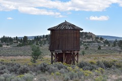
Block
From the record
40 National Register listings published here, 7 of them National Historic Landmarks.
Sources: the National Register database, National Park Service
83 topographic sheets and 3 fire insurance atlases across 1 place.
40 National Register listings published here, 7 of them National Historic Landmarks.
Sources: the National Register database, National Park Service
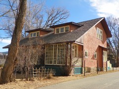
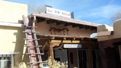
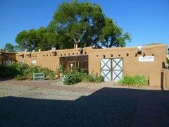
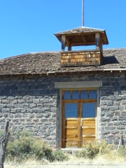
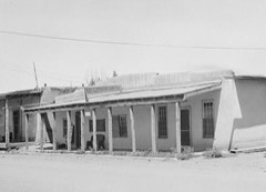
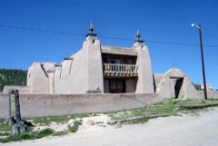
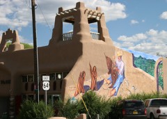
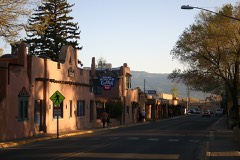
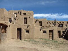
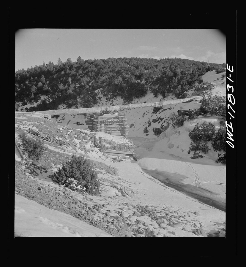
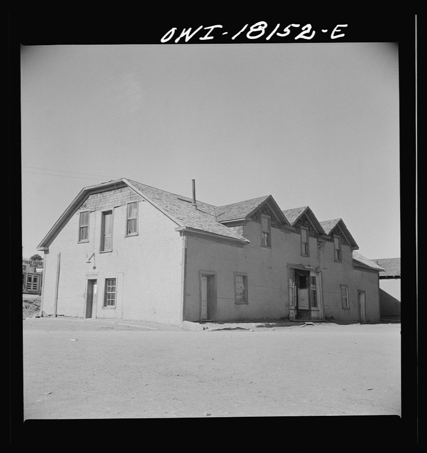
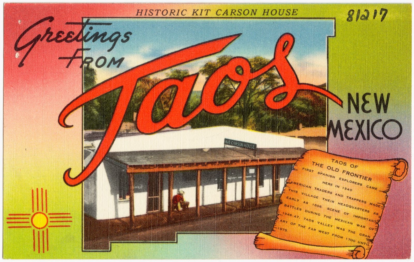
Taken for the Office of War Information and the Farm Security Administration, who photographed the country between 1935 and 1944. Works of United States government photographers, with no known restriction on use. Each opens its catalogue record.

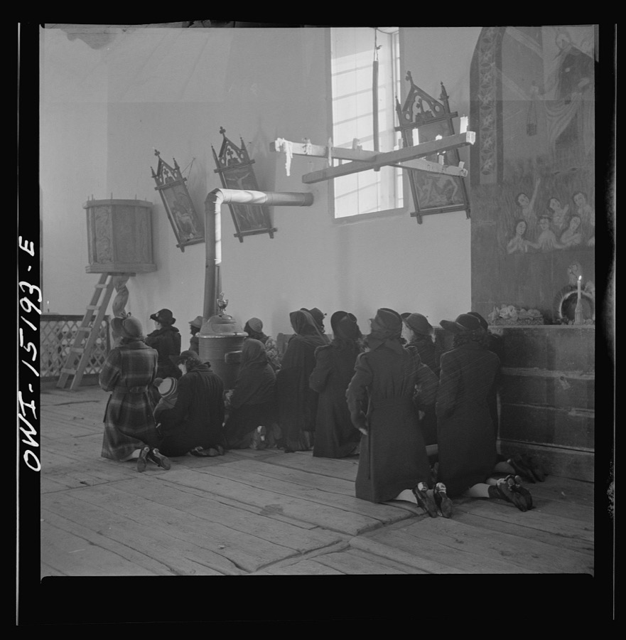



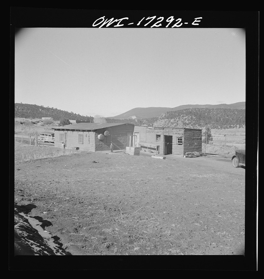
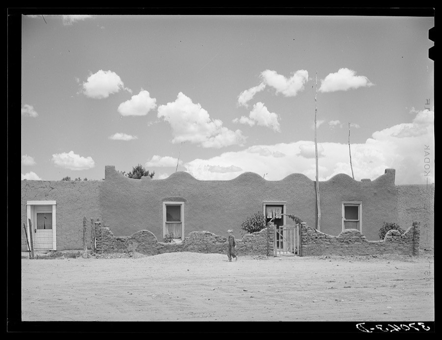
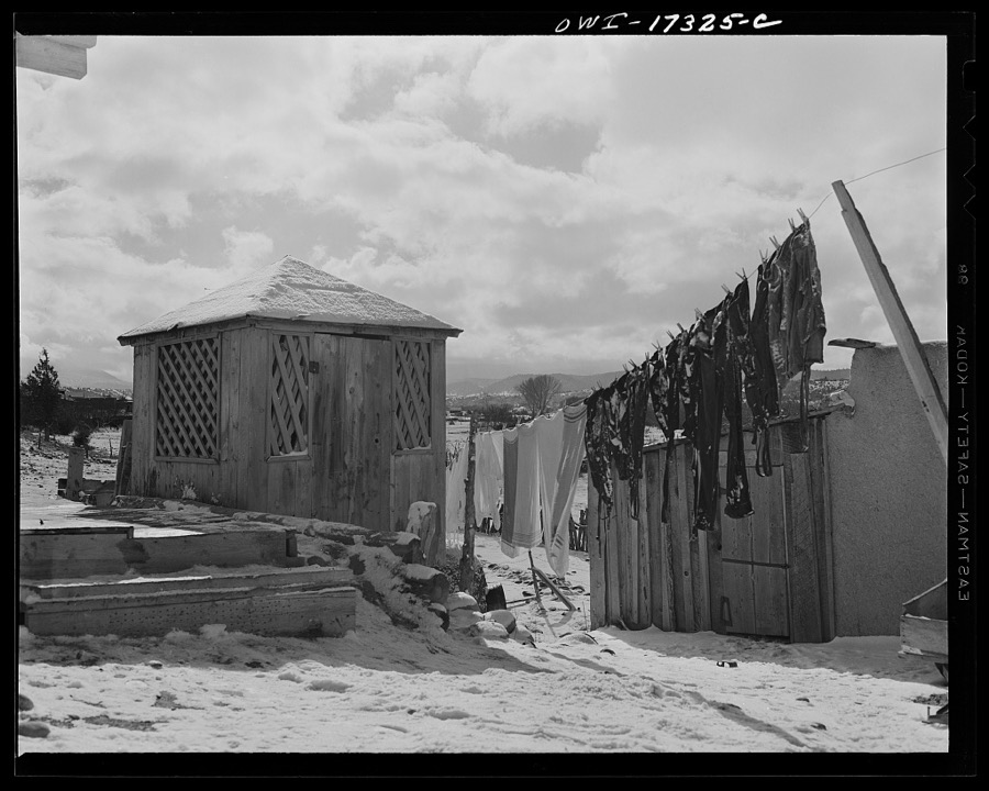
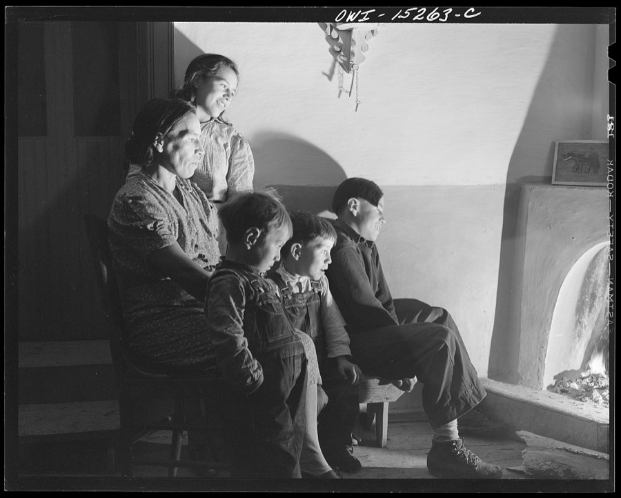
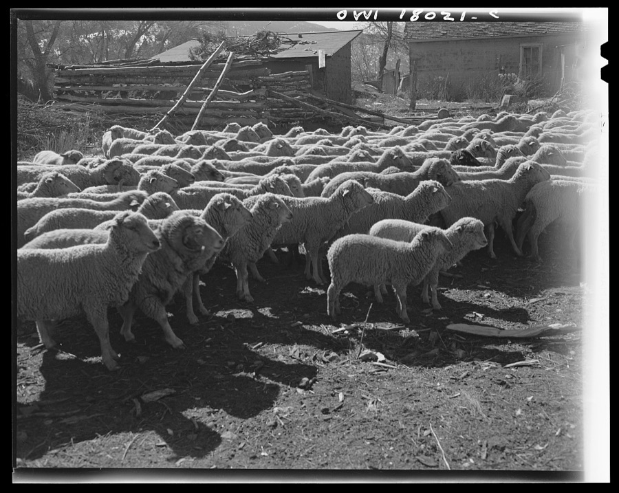
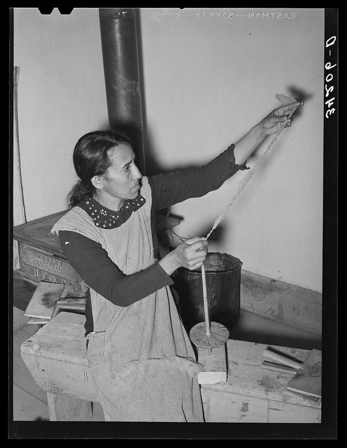
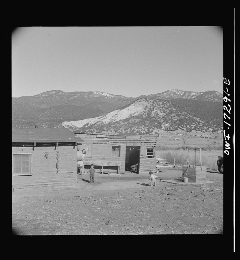
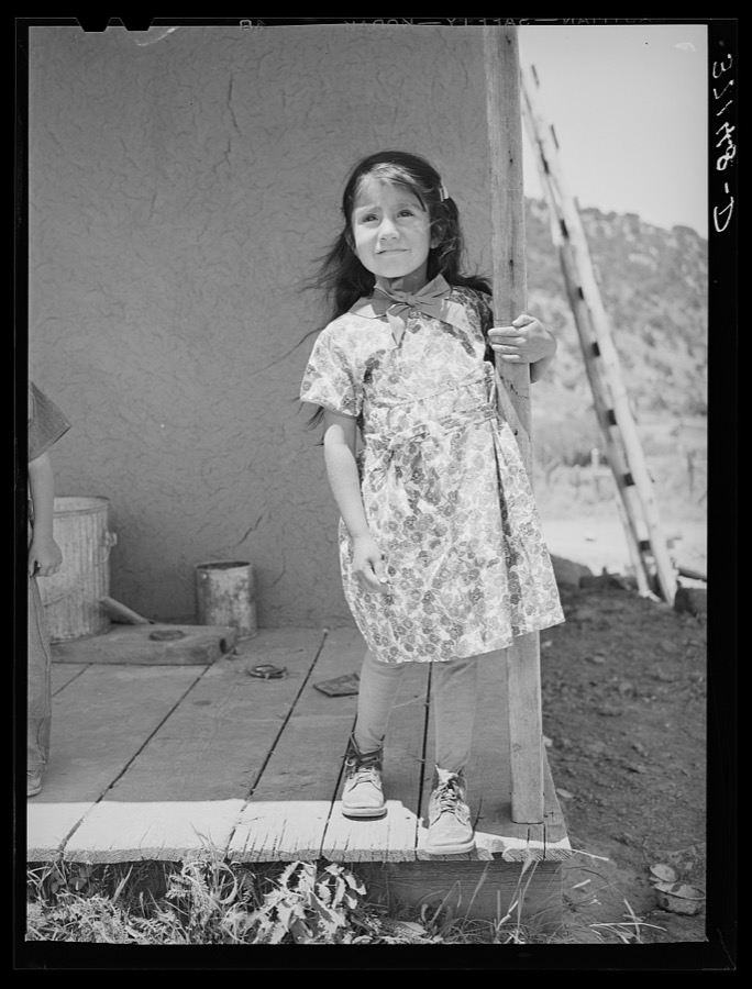

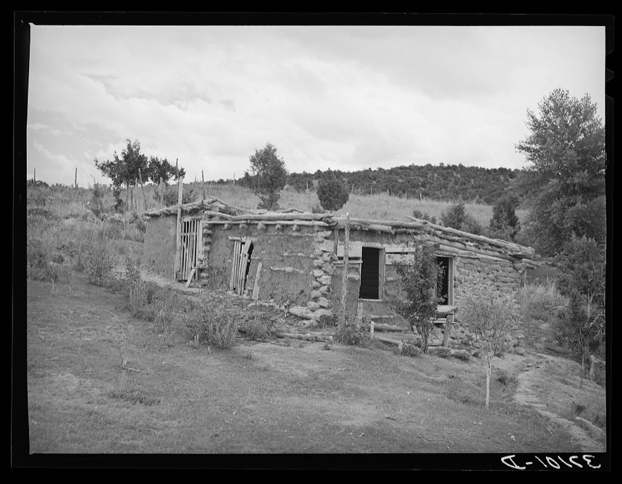
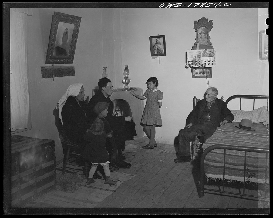
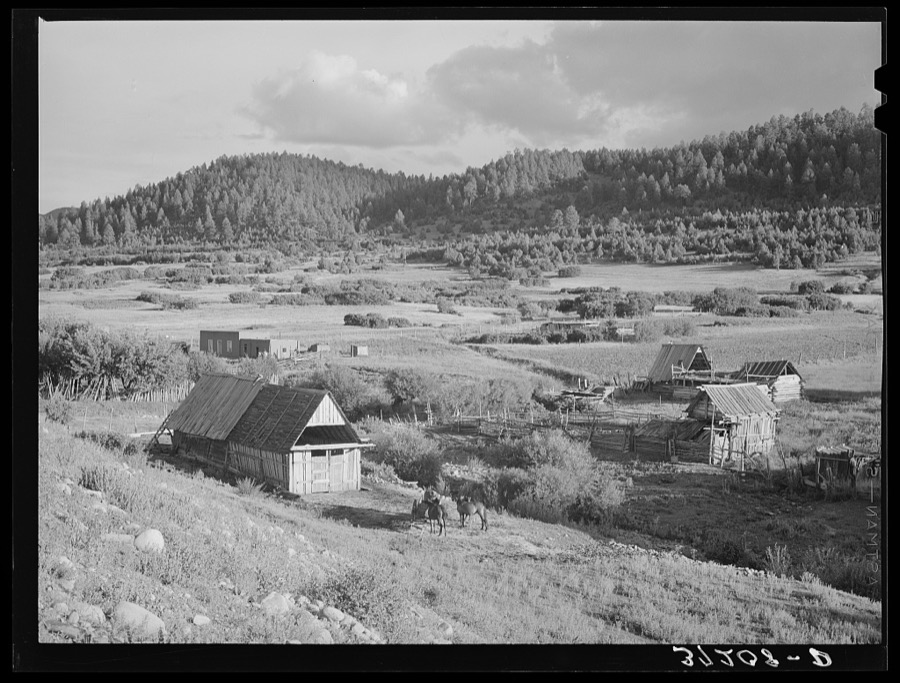
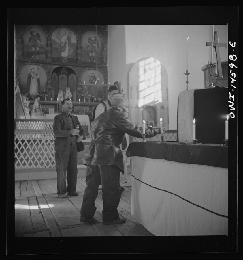



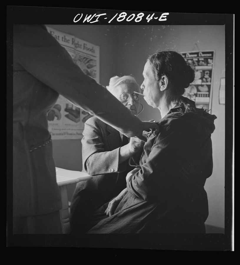
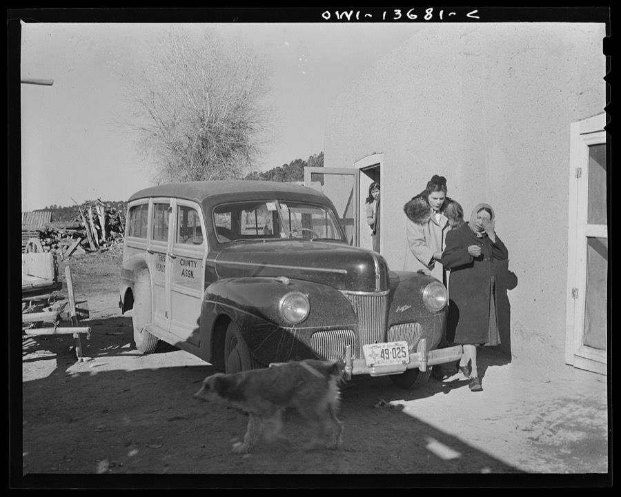
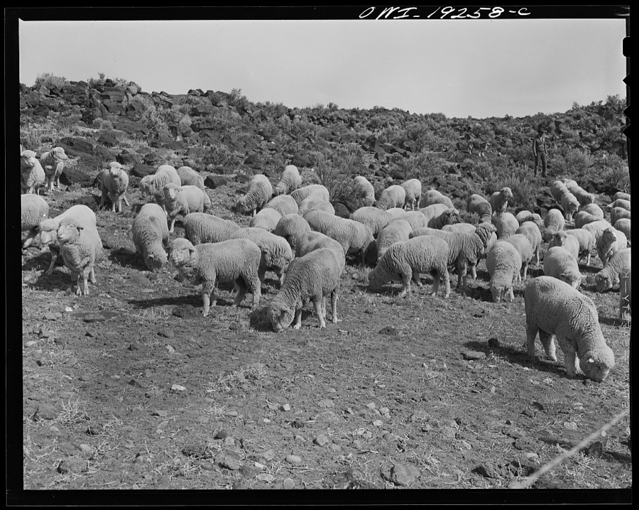
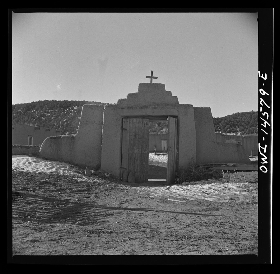
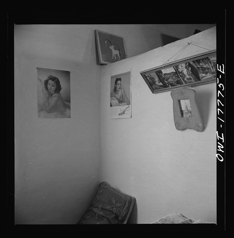

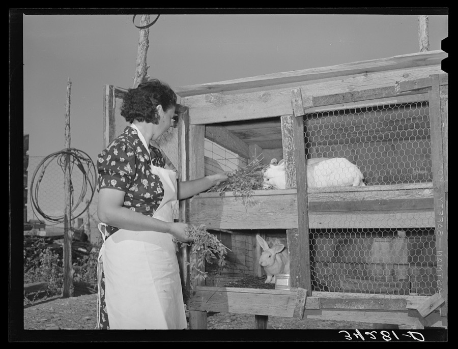
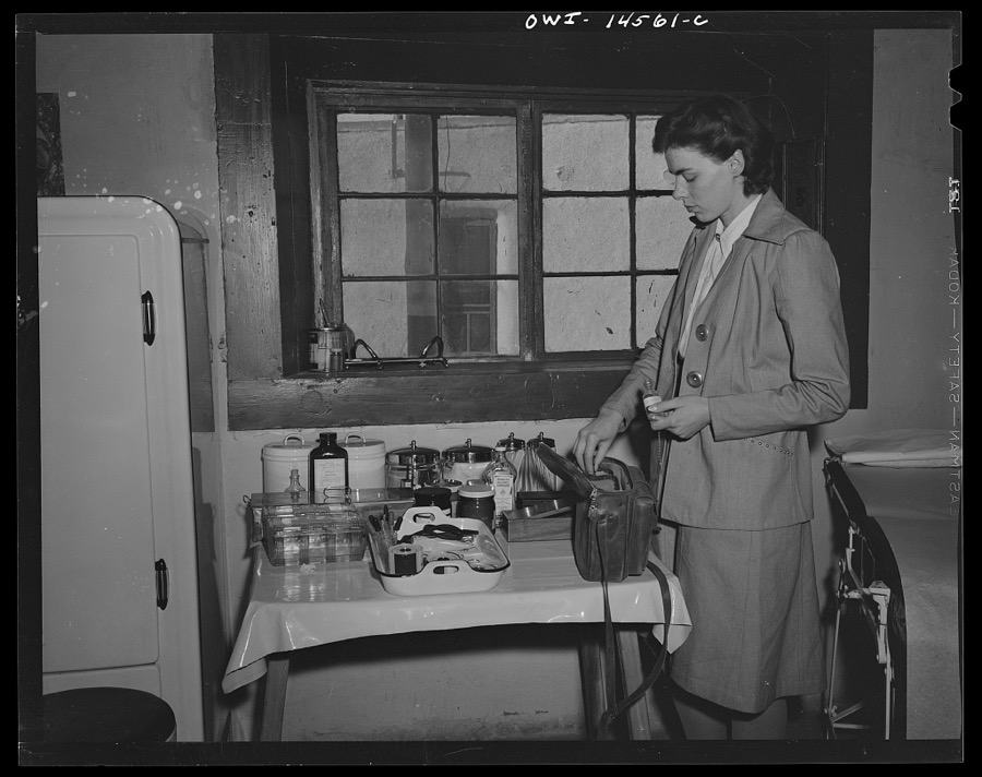
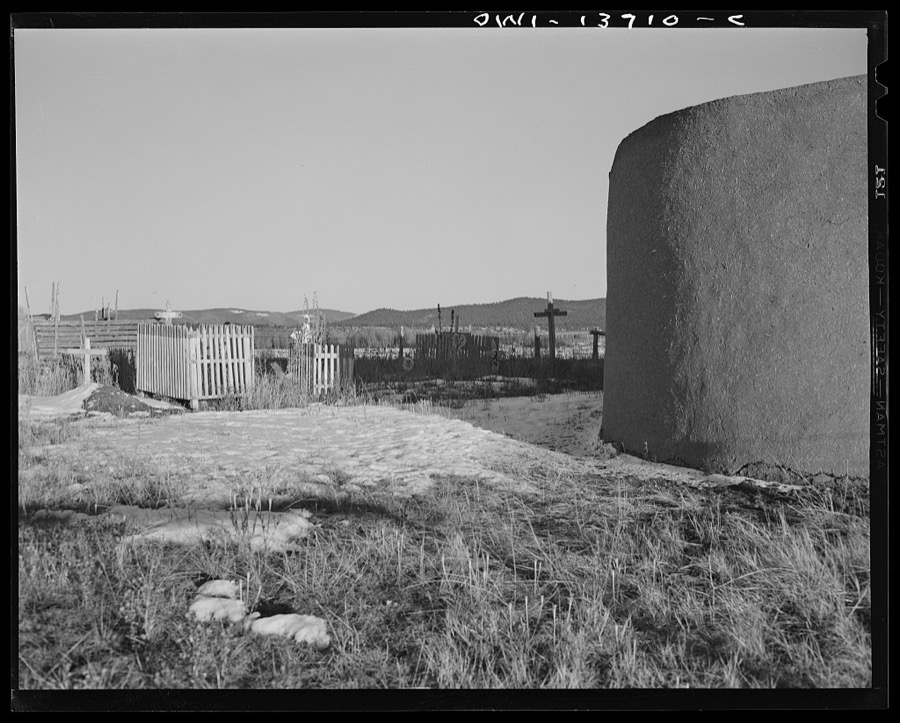
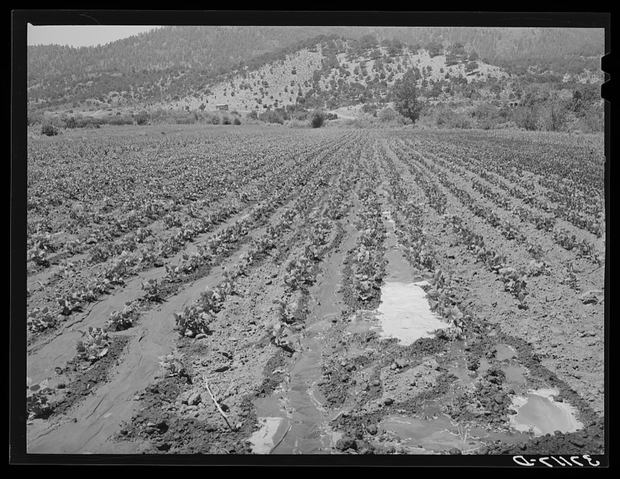

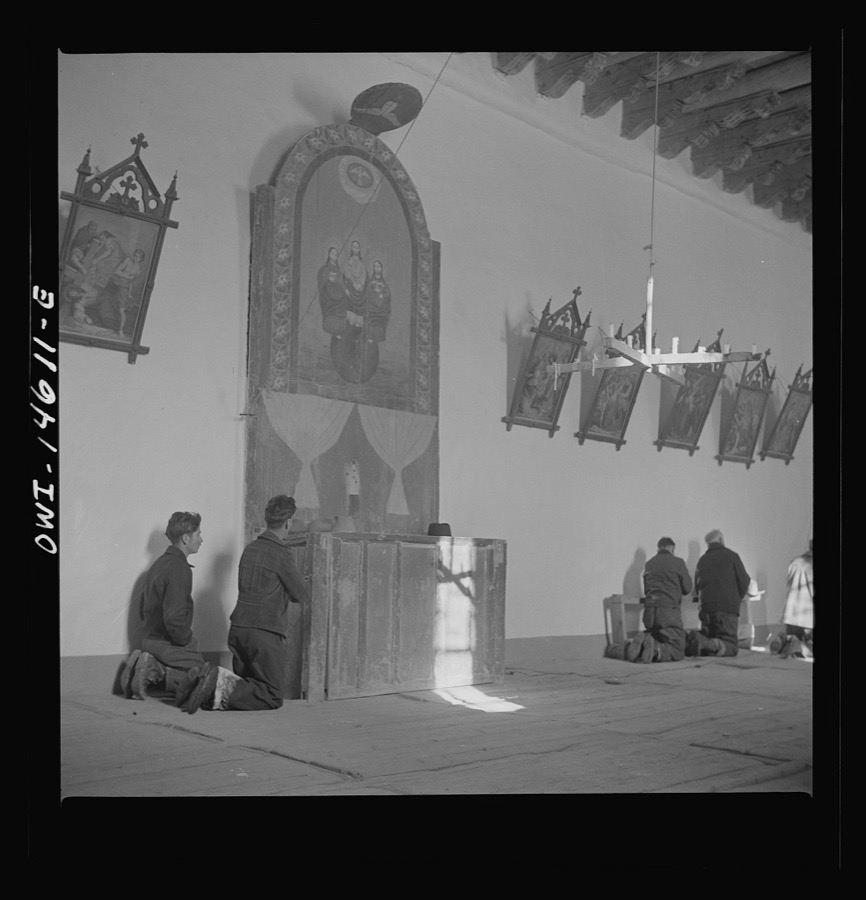
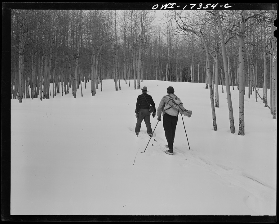

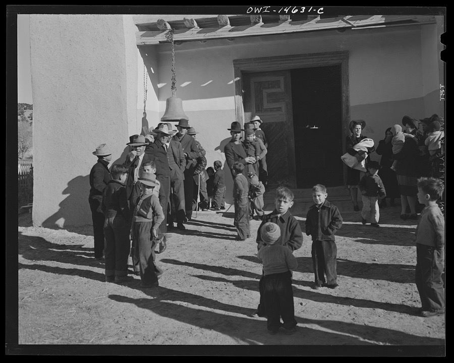
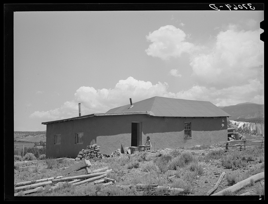
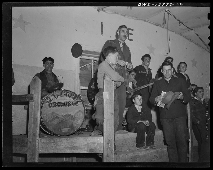
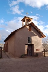
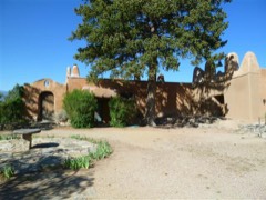
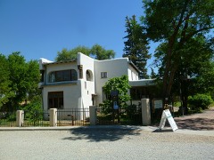
Every property in this county listed on the National Register of Historic Places, with the year it was listed and the federal nomination document.
Sampled issues, machine-read from the Library of Congress scan and published page by page, so every headline and column is searchable text.
Red River, Taos County, N.M., 1900 to 190?. Machine-read from the Library of Congress scan.
Taos, Nuevo México, 1905. Machine-read from the Library of Congress scan.
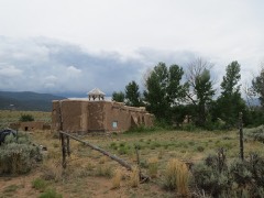
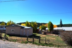
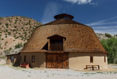
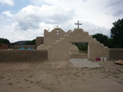
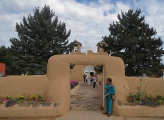
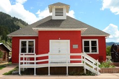
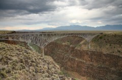
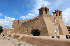
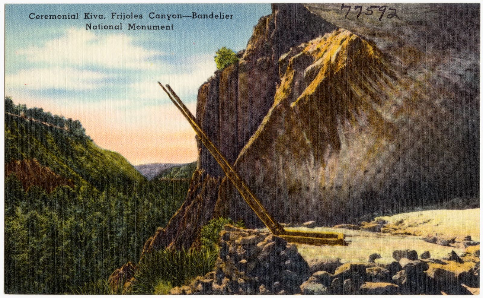
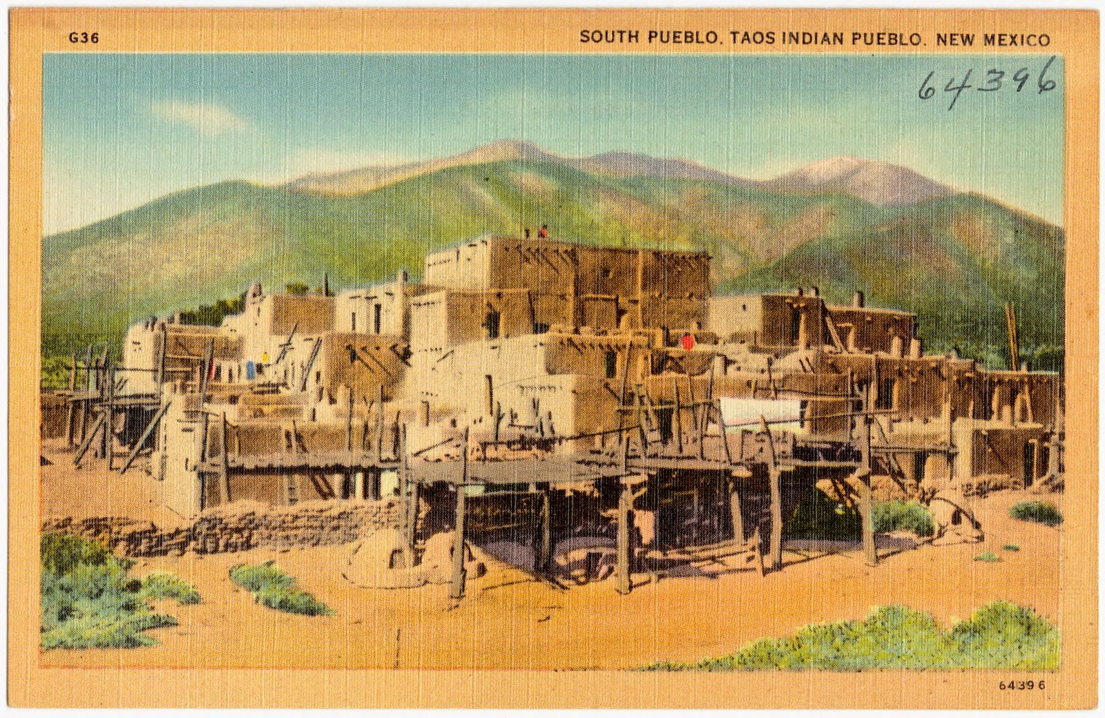
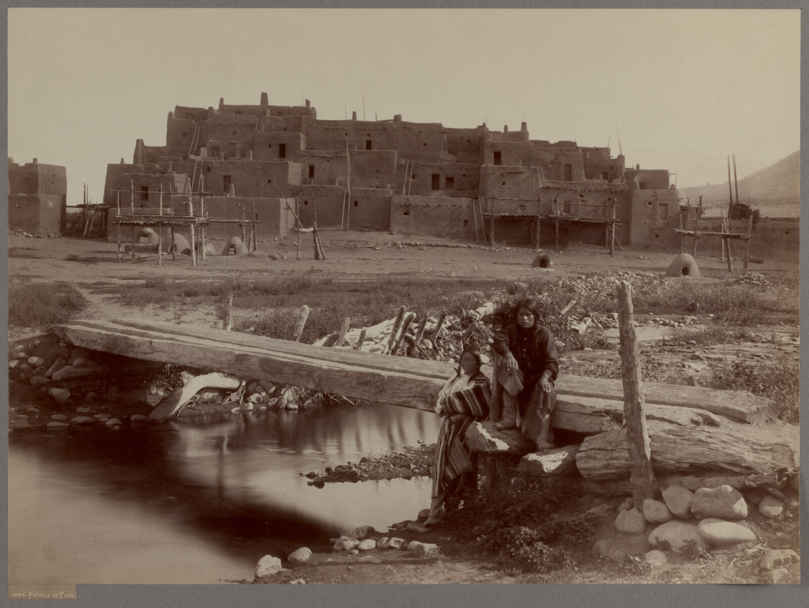
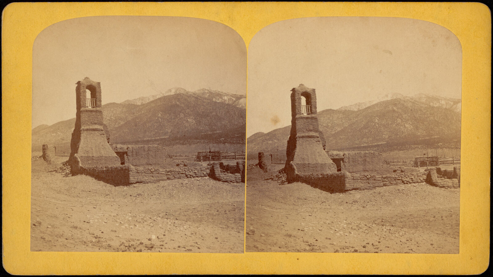
Selected from the Digital Public Library of America's 13 image records catalogued for this county. Every one shown here carries a public-domain status or a licence that permits reuse on a site that carries advertising; non-commercial, share-alike and restricted images are excluded. The selection is spread across the county's towns (at most eight per town), so no single institution's bulk upload crowds out the rest. Each opens the holding library's record, and the complete set at the Digital Public Library of America is one click away.
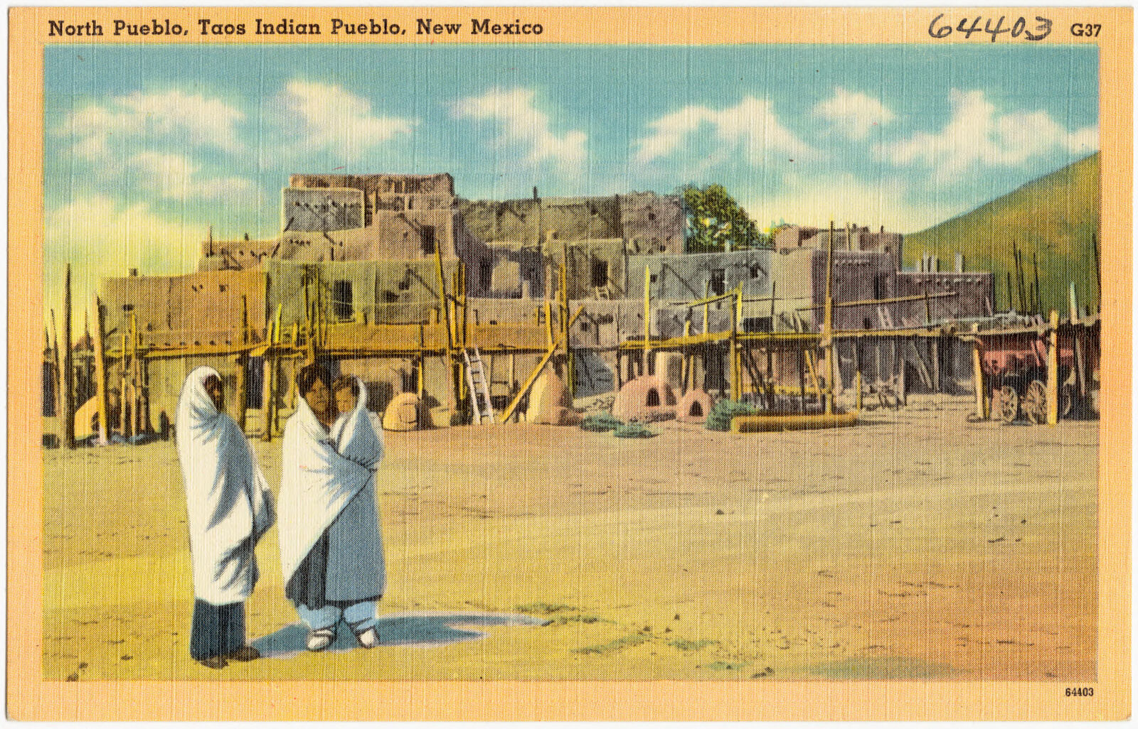
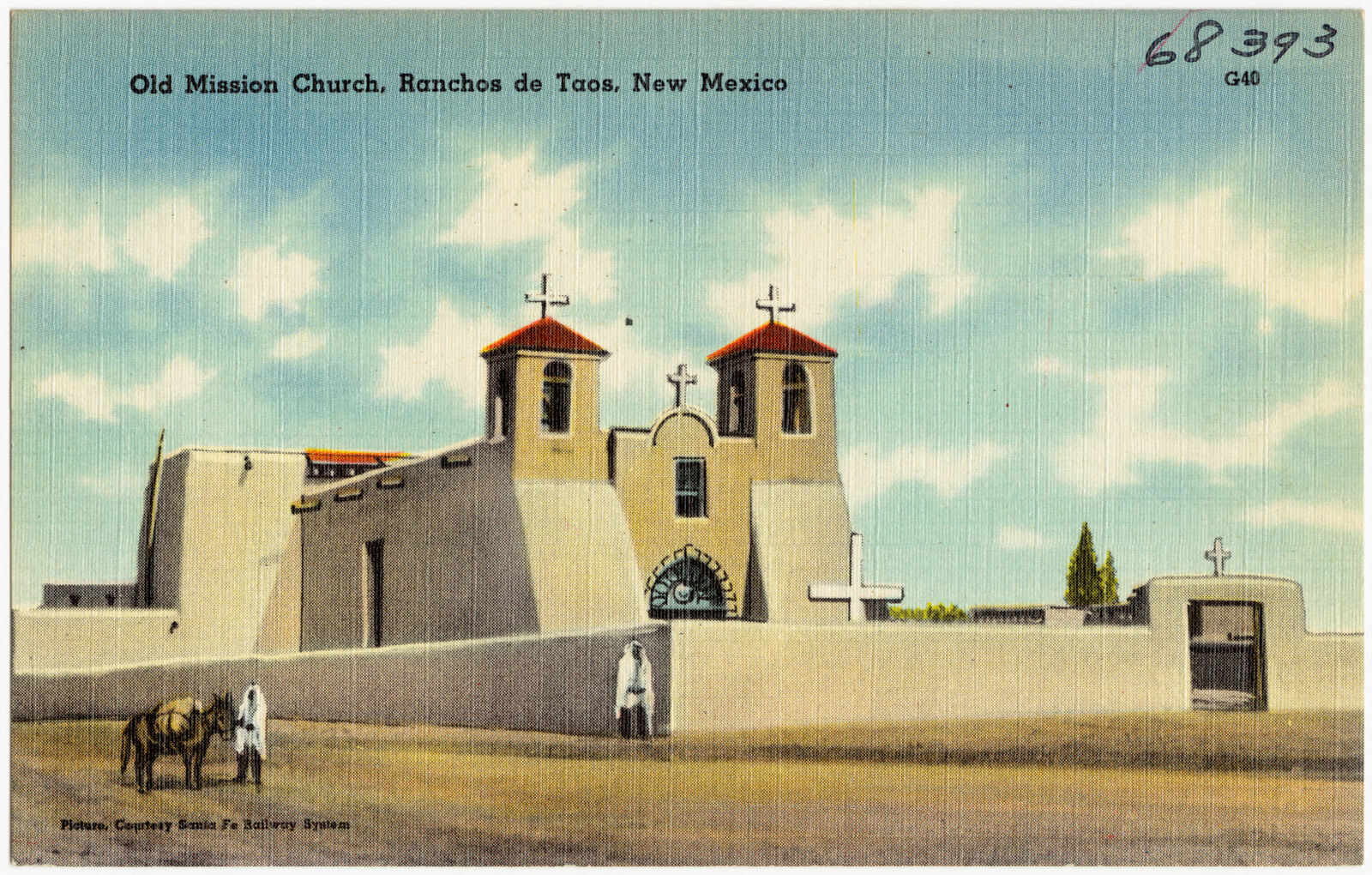
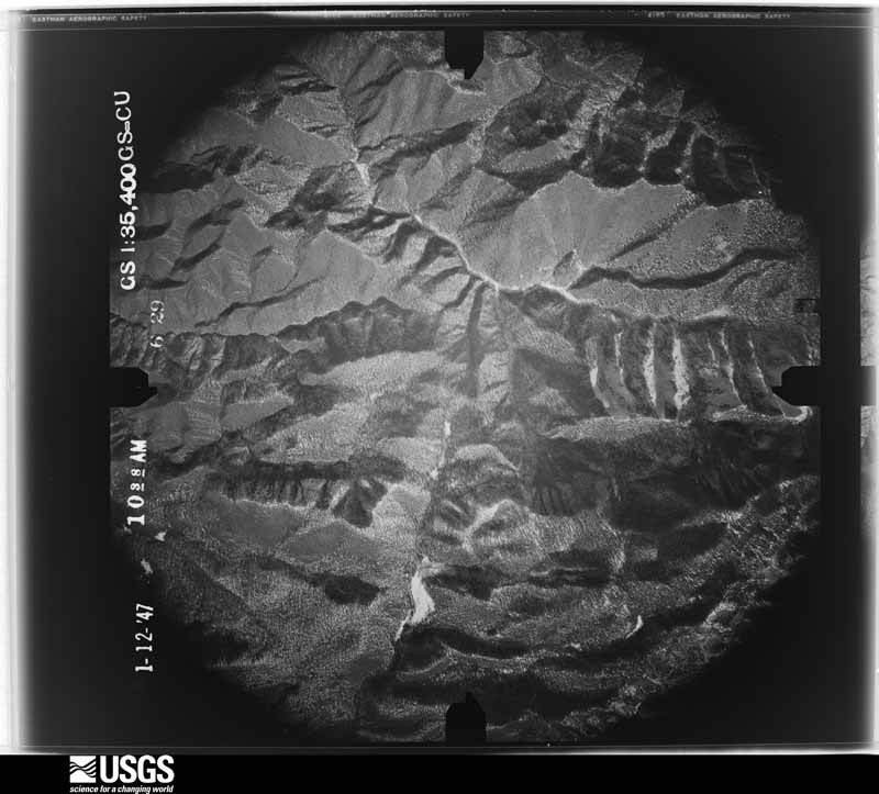
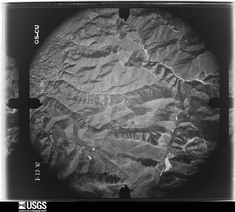
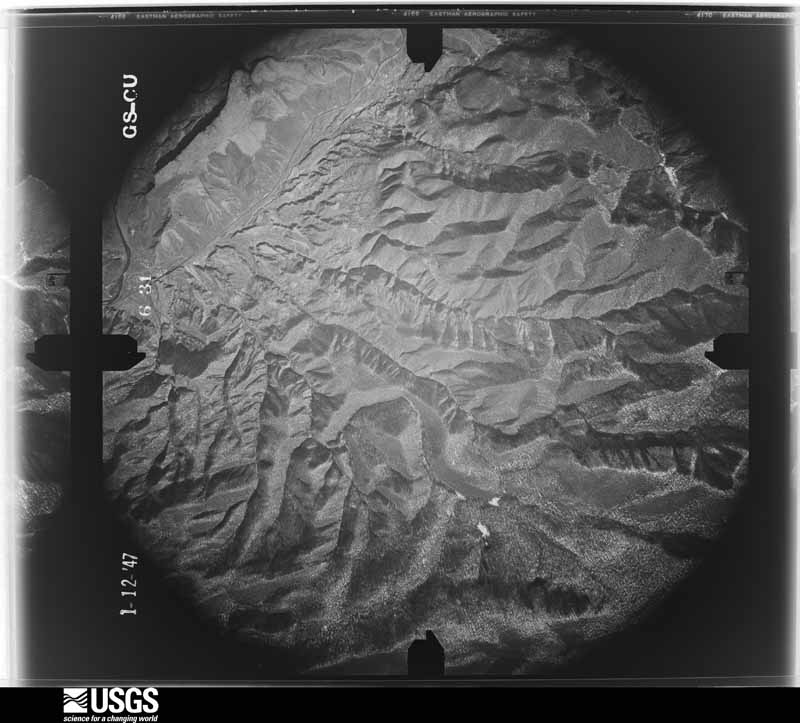
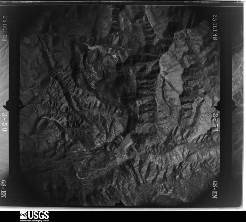
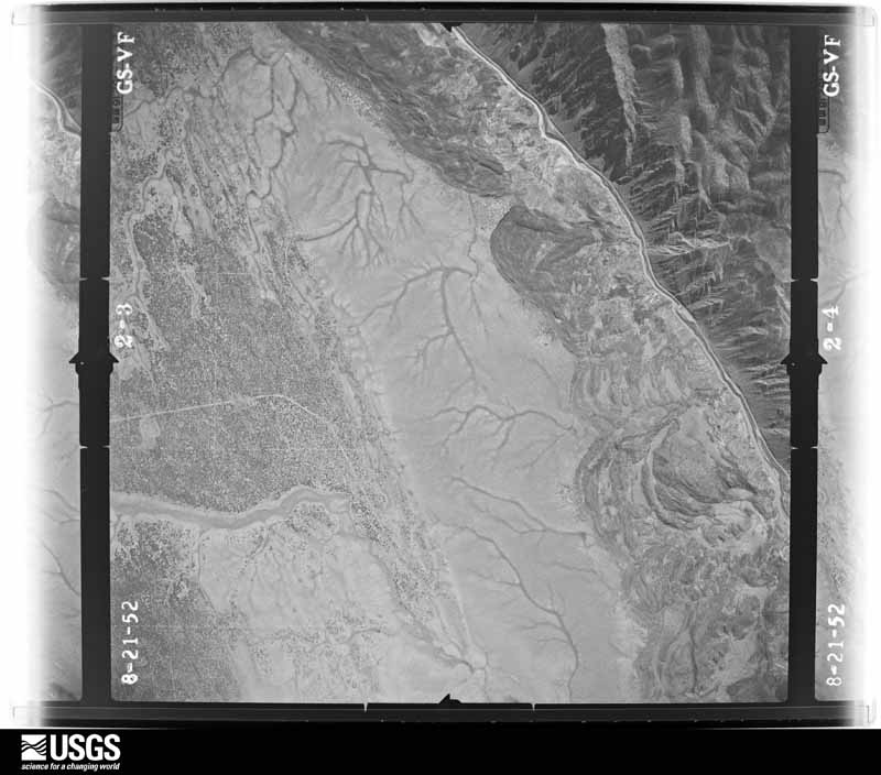
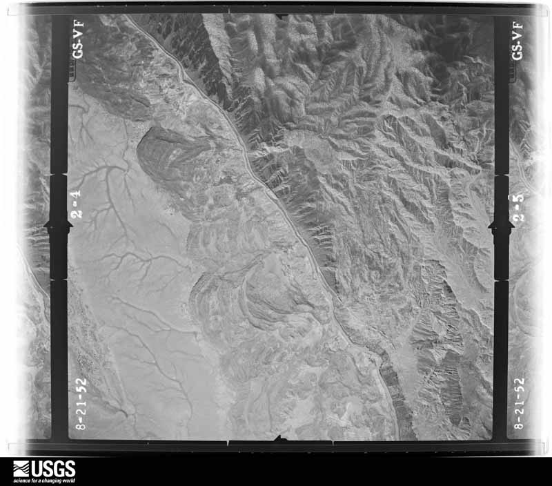
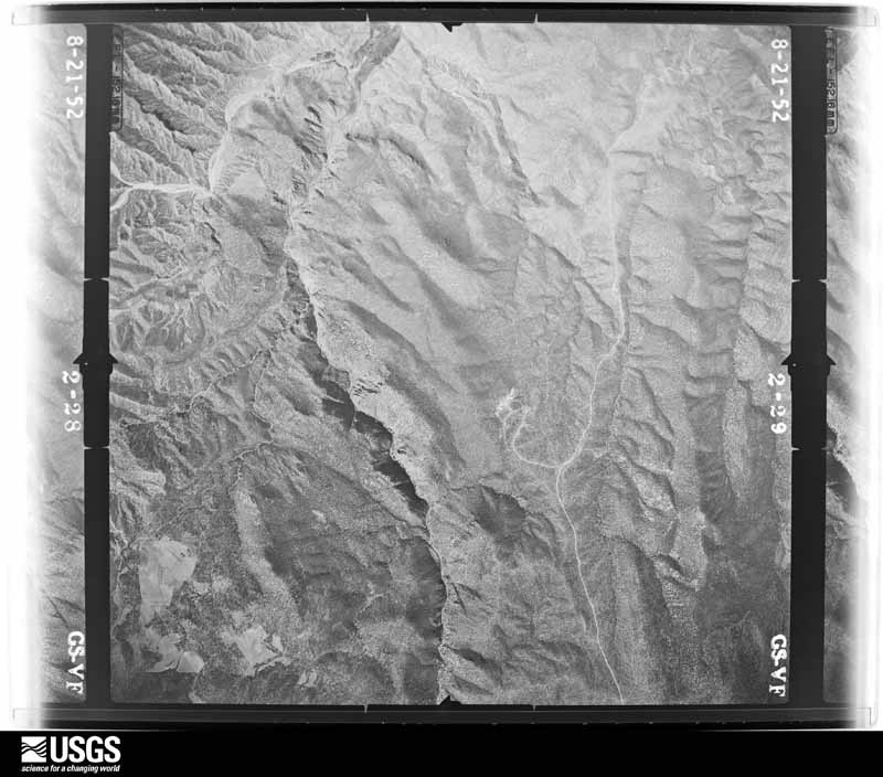
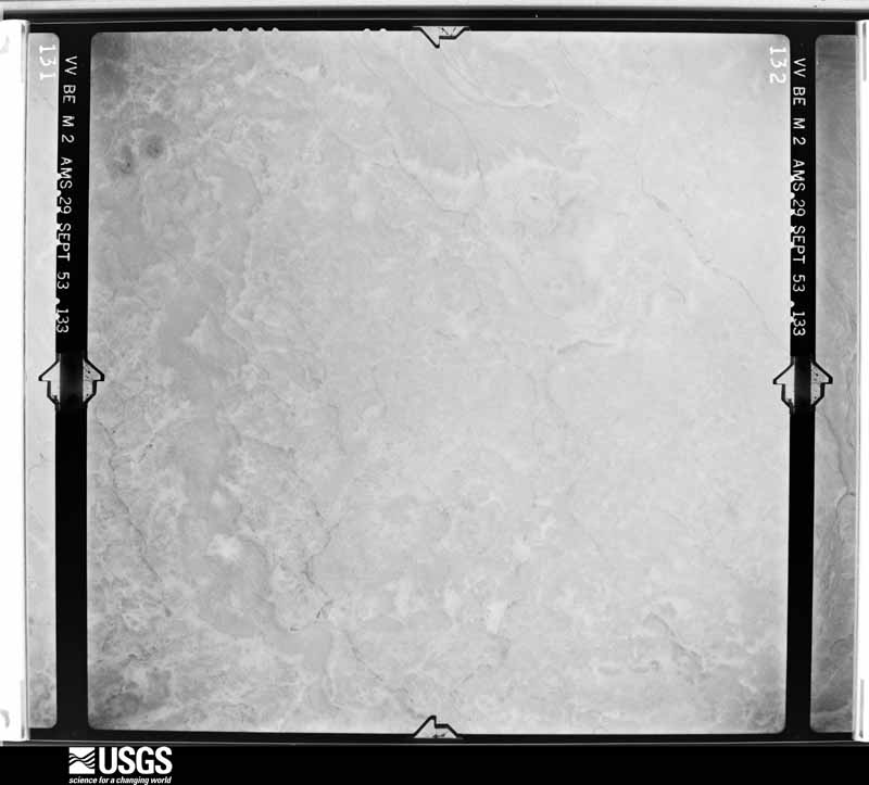
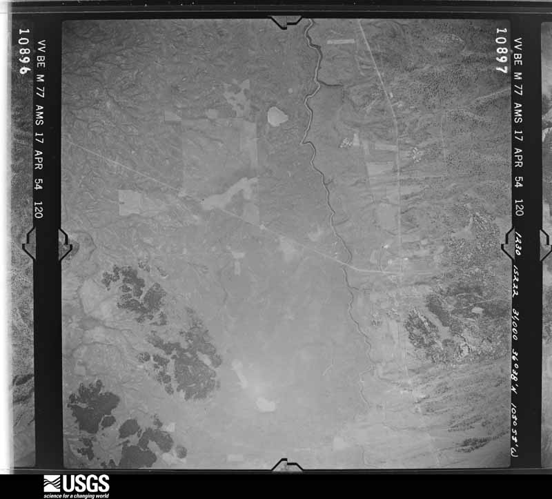
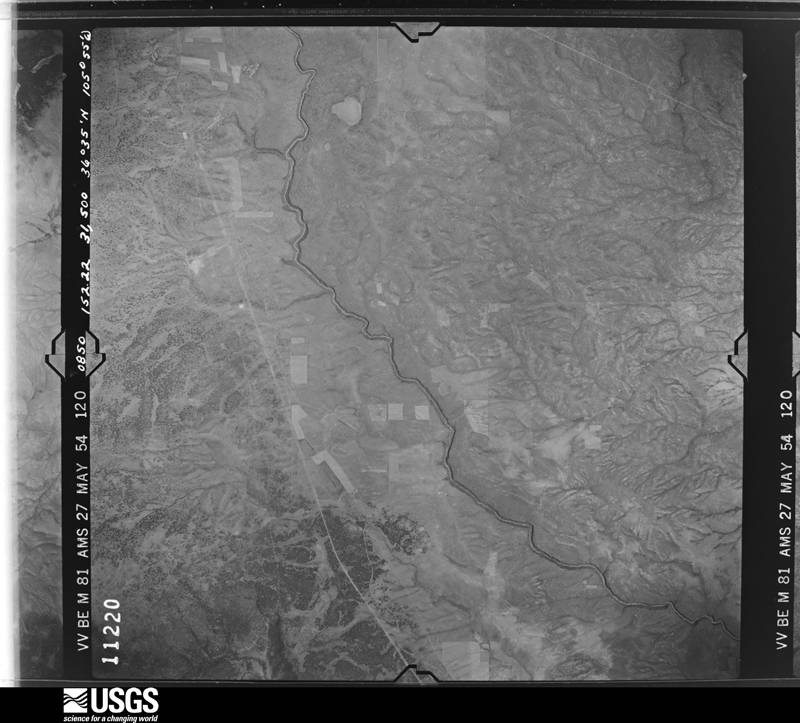
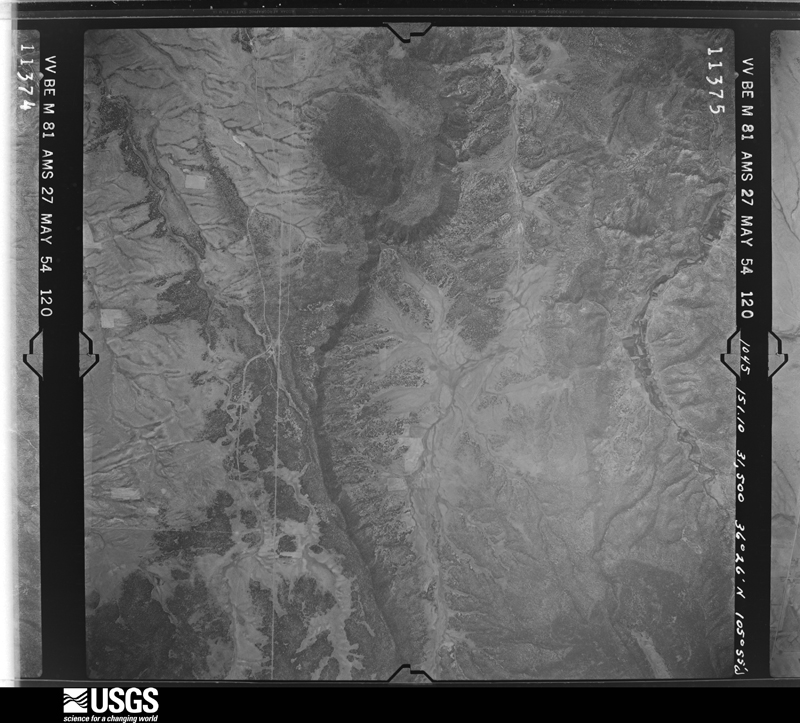
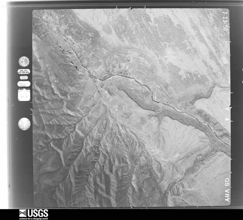
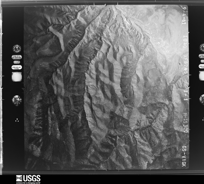
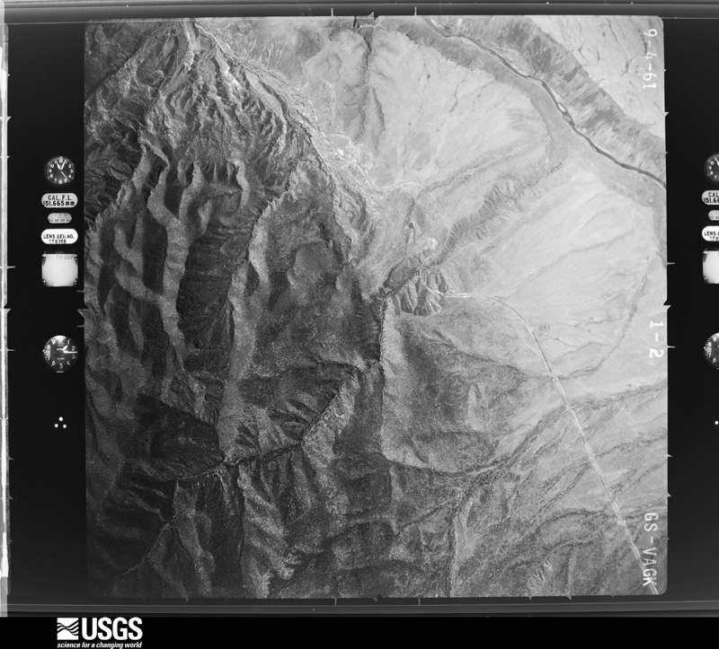
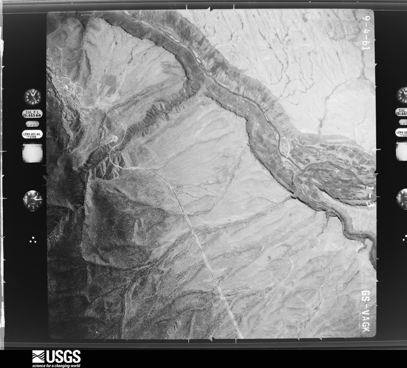
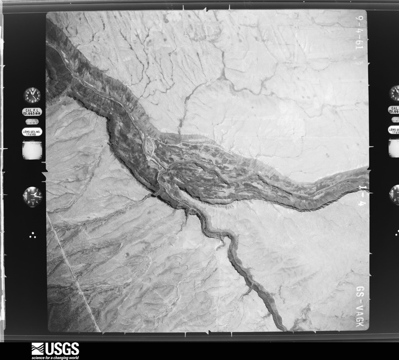
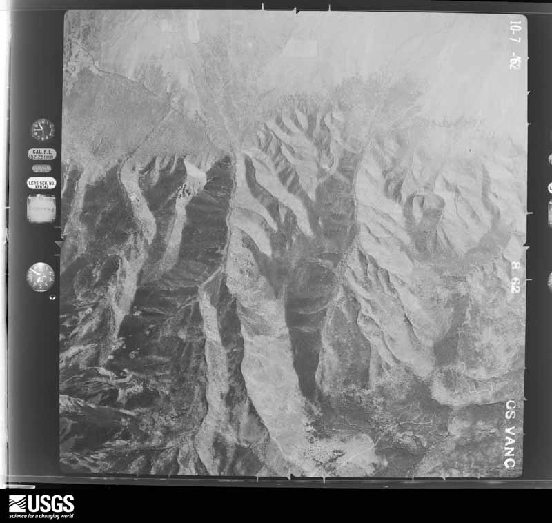
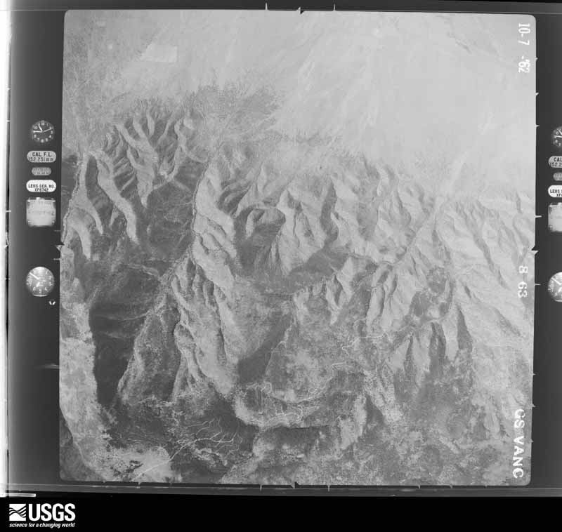
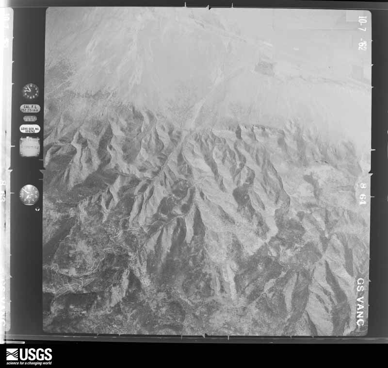
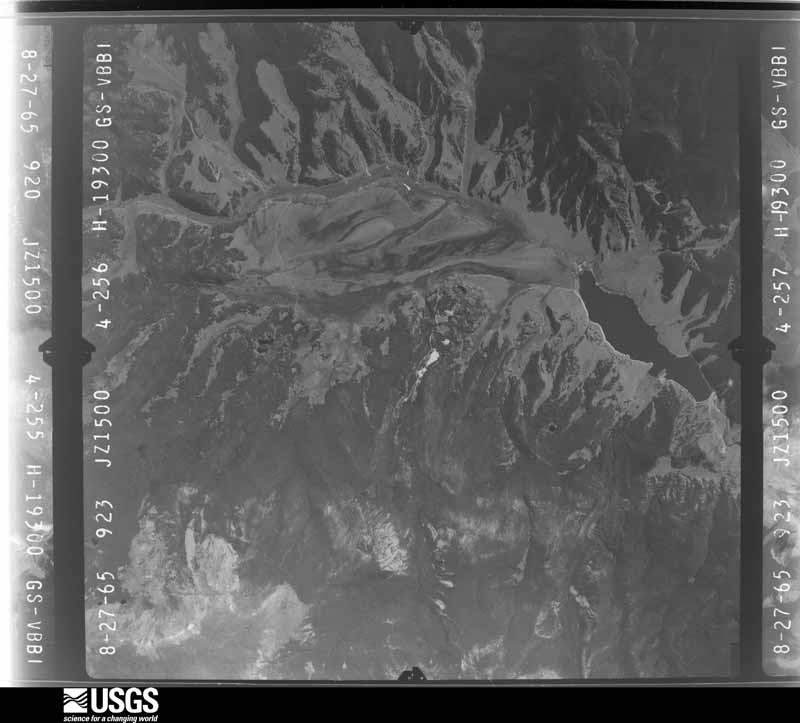
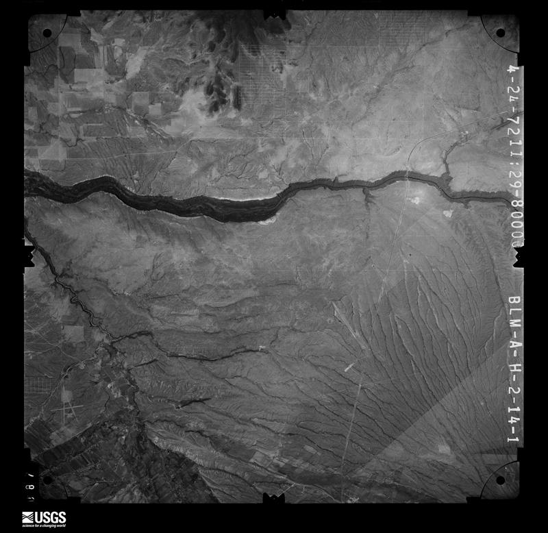
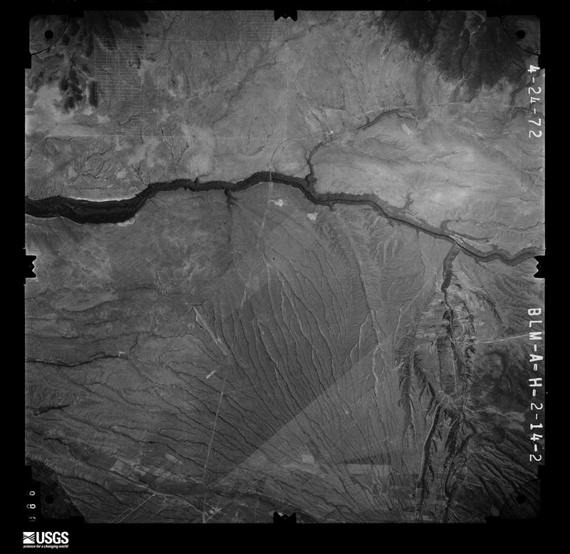
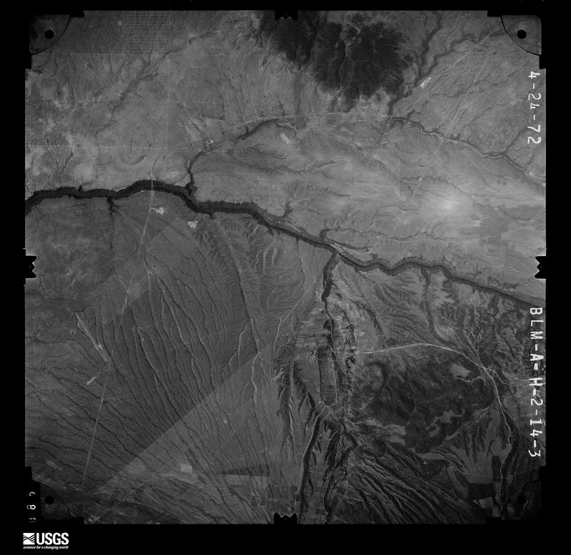
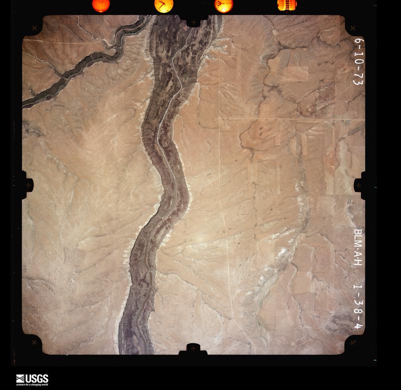
Flown by the U.S. Geological Survey between 1937 and 1989, the Aerial Photo Single Frames collection is the definitive mid-century view of the land: fields, roads and rivers as the camera saw them. The Survey holds 4,536 frames inside the rectangle that bounds this county; the 48 frames below were taken over the county itself, chosen across the decades of flights (at most four a year from that rectangle), so one flight cannot crowd out the rest. The full set is free to browse and download at EarthExplorer under the dataset Aerial Photo Single Frames.
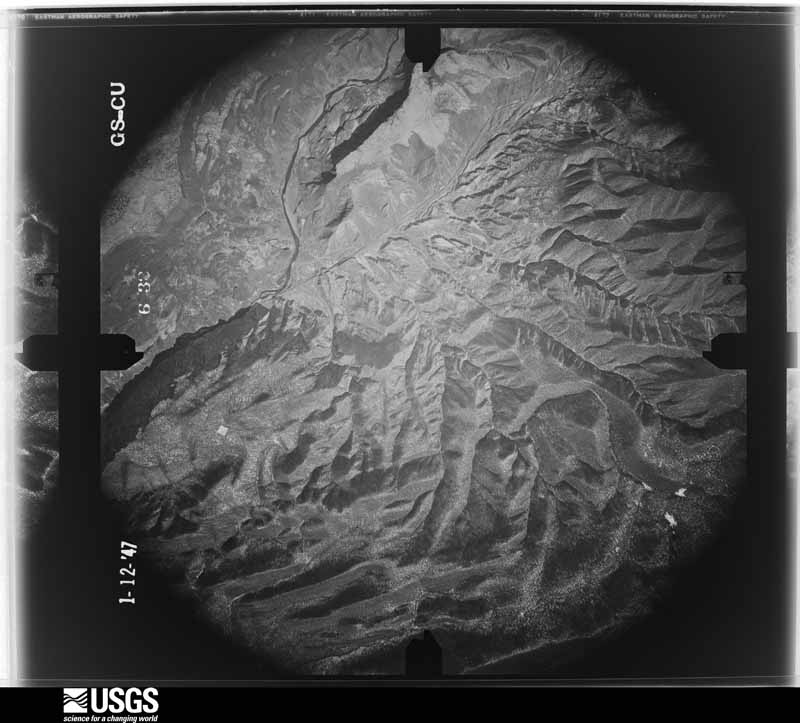
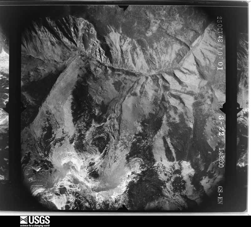
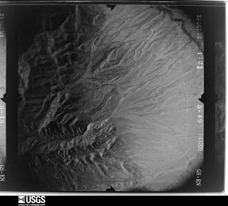
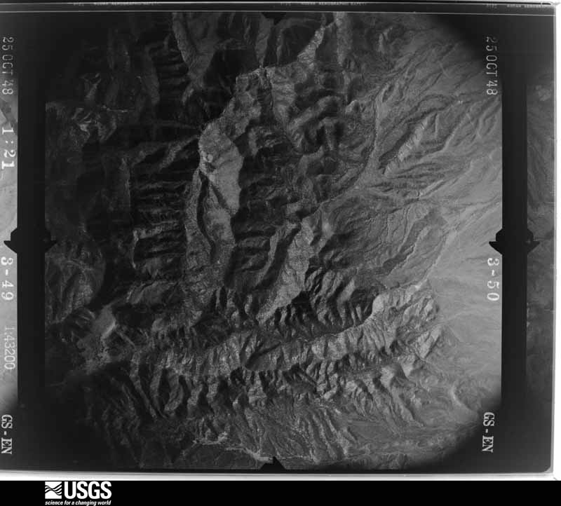
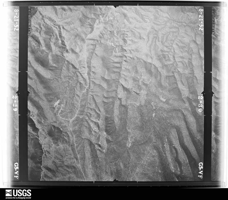
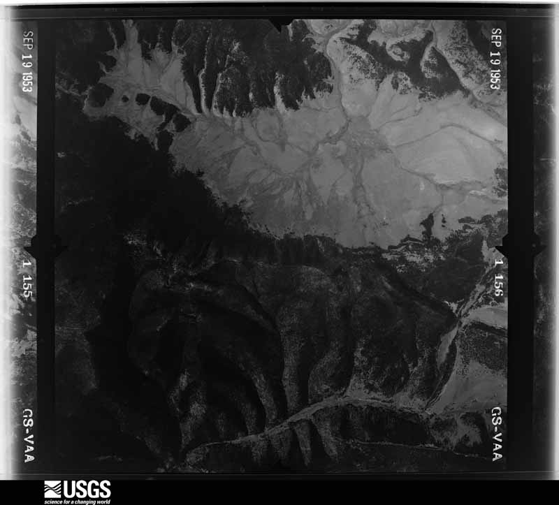
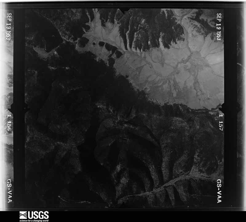
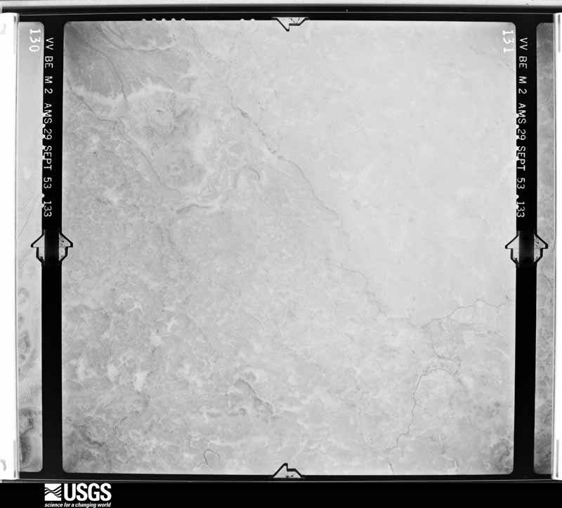
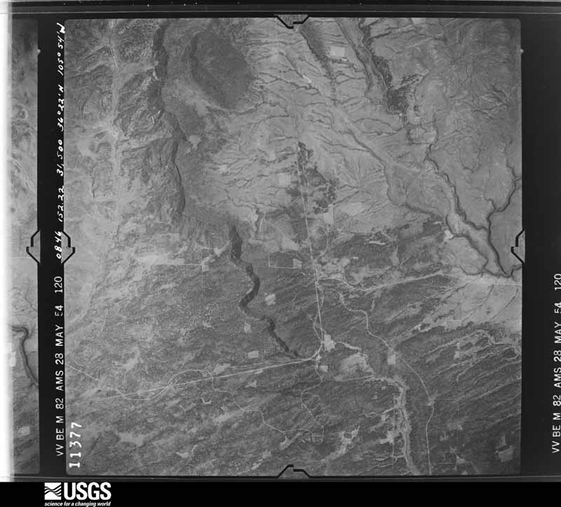
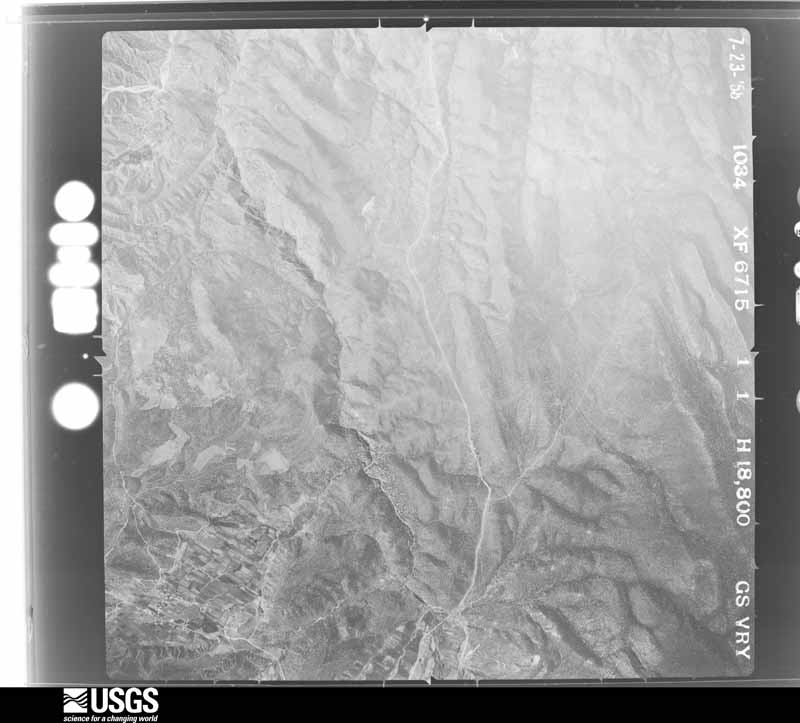
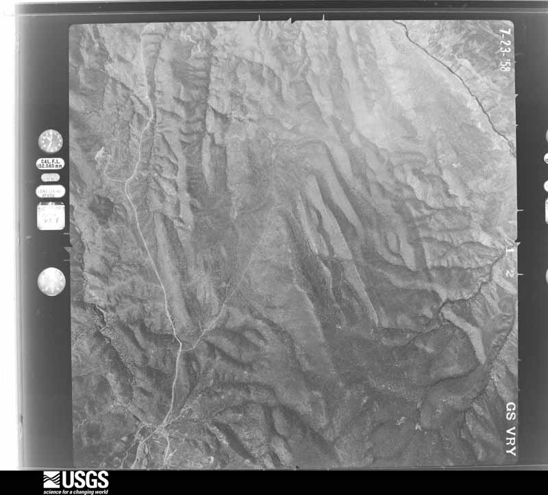
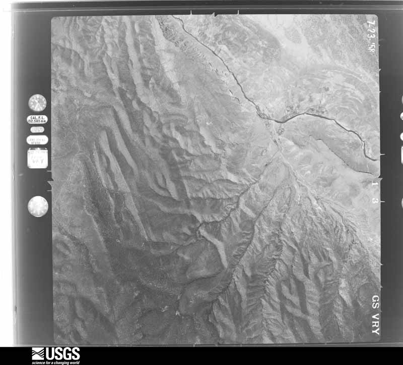
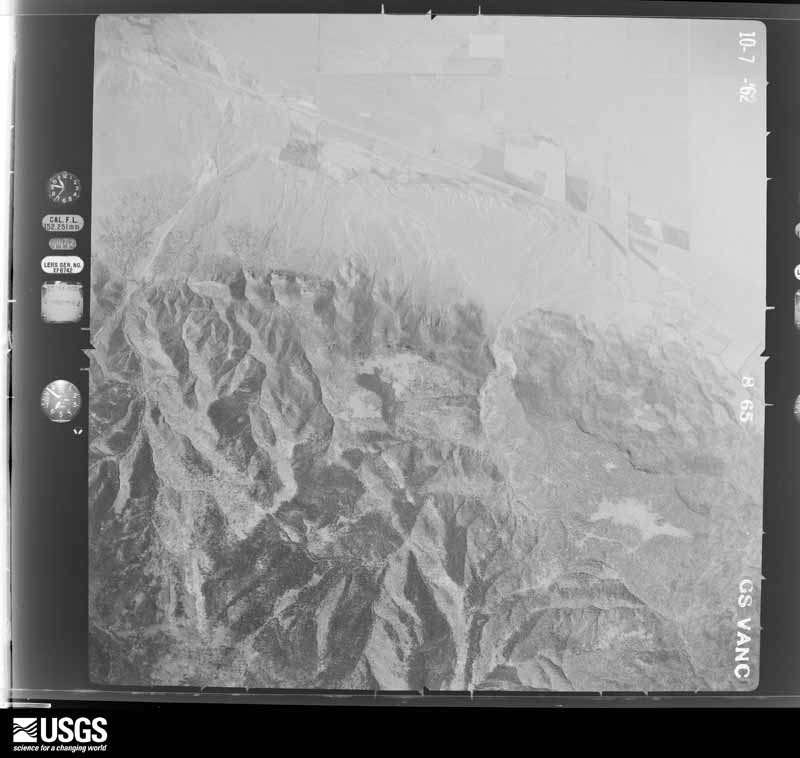
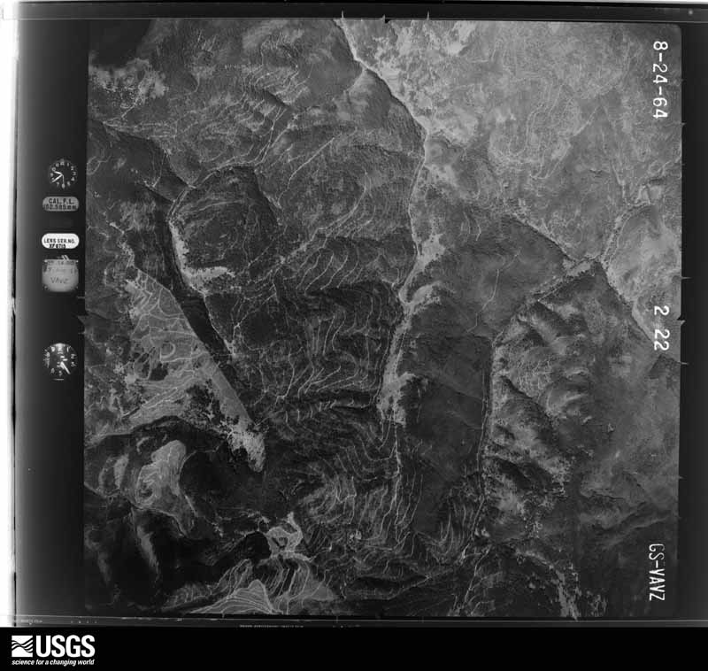
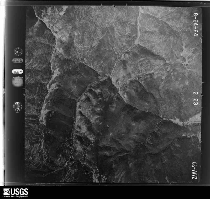
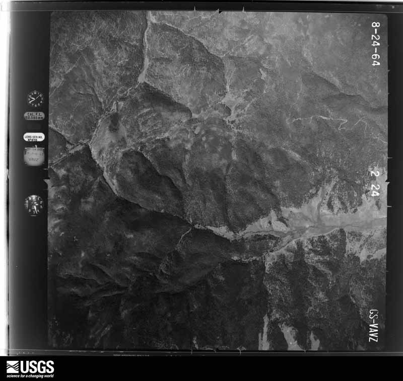
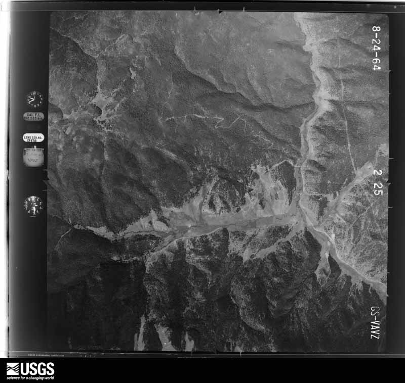
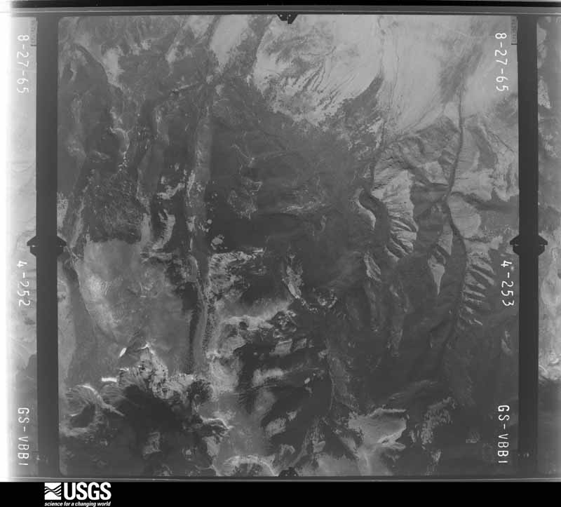
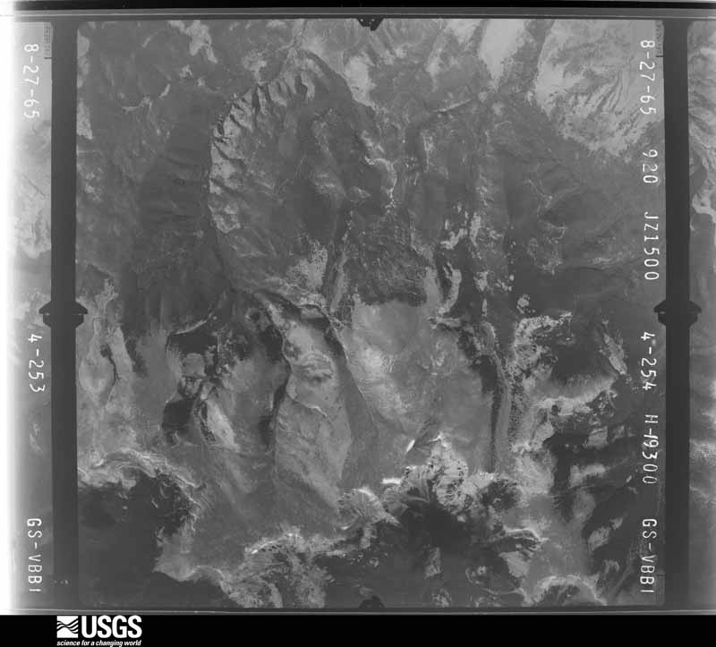
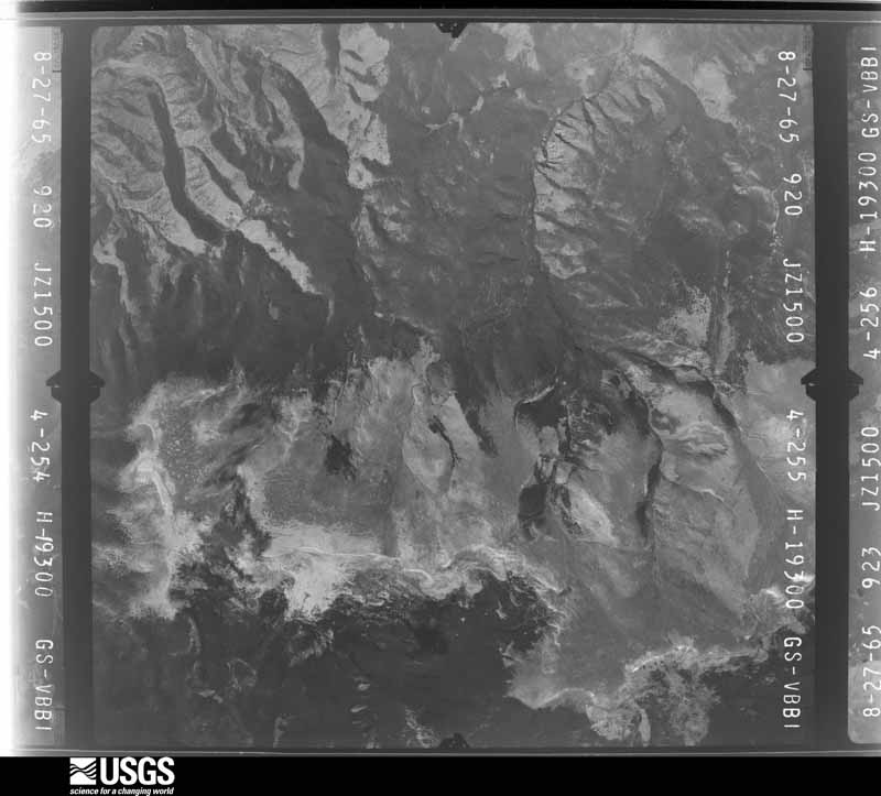
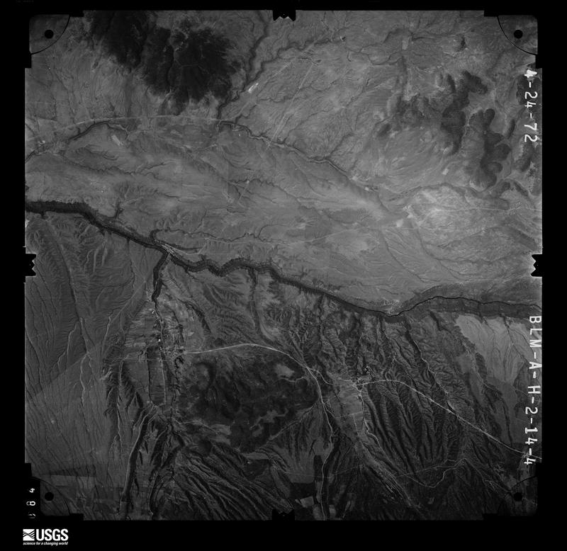
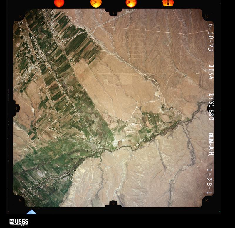
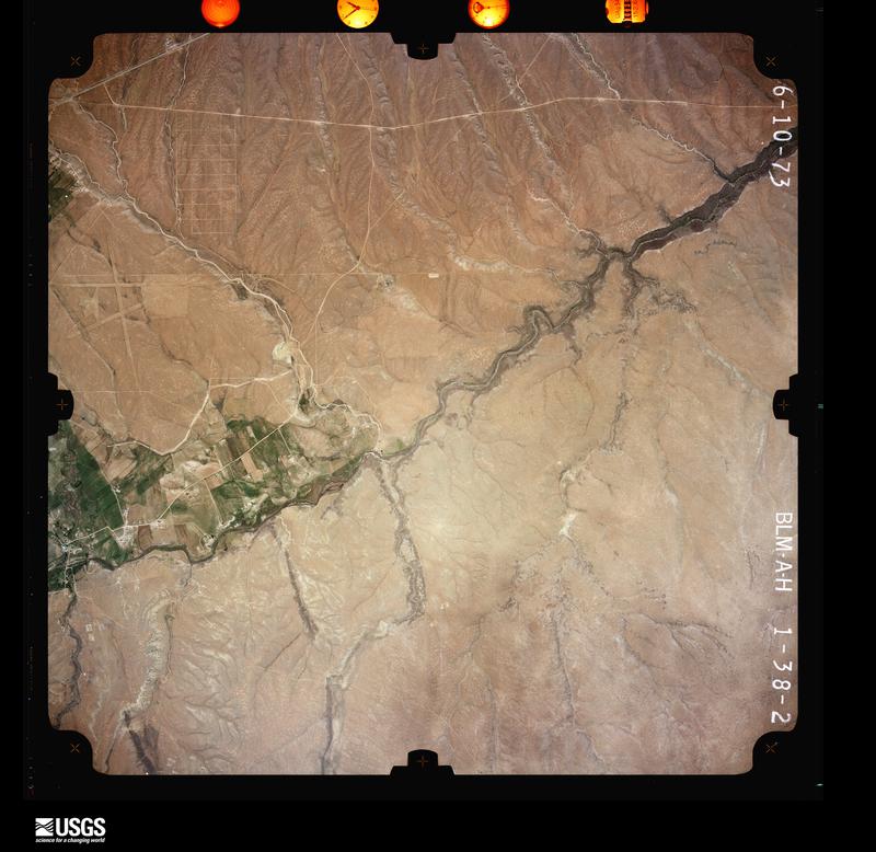
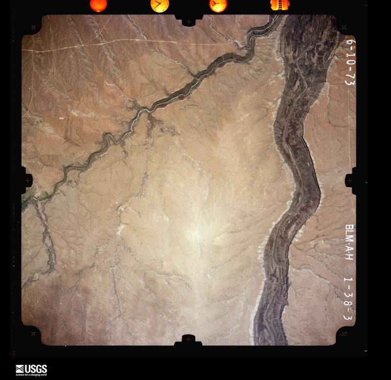
The thermometers that kept this county's weather, and the gages that measured the flow of its streams, as the federal records hold them. The extremes below are measured values from those records, not estimates.
Who lived here in 1950, one enumeration district at a time, as the Census Bureau described each district. Each row opens its official National Archives result, with Population Schedules and ED Maps available there.
Every wildfire the federal occurrence database records inside this county: 1,004 of them, burning about 34,662 acres. 395 started naturally and 36 were recorded as arson. Each settlement page carries the fires within five miles of it.
| Reported cause | Fires |
|---|---|
| Natural | 395 |
| Recreation and ceremony | 216 |
| Debris and open burning | 124 |
| Missing data/not specified/undetermined | 111 |
| Arson/incendiarism | 36 |
| Smoking | 31 |
| Equipment and vehicle use | 28 |
| Fireworks | 27 |
| Power generation/transmission/distribution | 16 |
| Misuse of fire by a minor | 15 |
| Other causes | 5 |
The five largest, by the area the report gives. None of them was recorded as arson.
| Date | Cause | Size | Reported by | Name on the report |
|---|---|---|---|---|
| 17 October 2020 | Missing data/not specified/undetermined | 10,142 acres | Carson National Forest | LUNA |
| 5 May 1996 | Debris and open burning | 7,525 acres | Carson National Forest | HONDO |
| 4 July 2003 | Natural | 5,373 acres | Northern Pueblos Agency | ENCEBADO |
| 24 June 2018 | Missing data/not specified/undetermined | 2,337 acres | Carson National Forest | SARDINAS CANYON |
| 2 September 2019 | Natural | 1,954 acres | Carson National Forest | AMOLE |
| 12 June 2000 | Natural | 1,010 acres | Taos Field Office | POT MTN |
| 23 June 2015 | Natural | 814 acres | Taos Field Office | PERDIDA |
| 1 June 2011 | Power generation/transmission/distribution | 720 acres | Carson National Forest | OSHA |
Every settlement page carries the fires within five miles of it - see the settlement index below.
The NOAA Storm Events Database holds 49 reports for this county, causing 1 death, 1 injury and about $7,412,000 in recorded property damage. Each settlement page carries the reports that name it.
| Kind of event | Reports |
|---|---|
| Hail | 16 |
| Thunderstorm Wind | 11 |
| Flash Flood | 11 |
| Tornado | 2 |
| Funnel Cloud | 2 |
| Debris Flow | 2 |
| Wildfire | 1 |
| Cold/Wind Chill | 1 |
| Lightning | 1 |
| Flood | 1 |
| Dust Devil | 1 |
The most serious of them, by death, then injury, then recorded damage. The accounts are quoted exactly as the forecast office filed them.
| When | Event | Place named | Harm | What the report says |
|---|---|---|---|---|
| December 1997 | Cold/Wind Chill | Taos | 1 killed | A 62 year old Taos woman was found dead in the side yard of her home. The death appeared to be an accidental fall and exposure to subzero temperatures. |
| September 1999 | Lightning | Red River | 1 hurt | A 40 year North Carolina man hiking on Wheeler Peak fell 100 feet after being struck by lightning. |
| December 2021 | Thunderstorm Wind | Taos | $5,000,000 | Snow squall. An intense line of thunderstorms with rain and snow moved quickly through Taos County early in the morning. An AWOS station in Taos measured a peak wind gust of 62 mph, but damage estimates within the city and surrounding areas indicate wind speeds of 80 to 100 mph as these high winds caused extensive damage. These thunderstorms produced a 2.9 mile long swath of damage from Blueberry Hill Road to El Prado oriented in an east-northeast direction. Six to seven homes sustained roof damage while one single wide mobile home was moved off its foundation. Numerous trees were snapped at the base with other large limbs downed, and at least two power poles were snapped at their bases. Two homes sustained significant roof damage with the aluminum roofing peeled completely off the homes. On a two story home, three-quarters of its roof was missing with part of its second story destroyed. At another home, a trampoline was found fifty feet in the air stuck in a tree. A radio tower was also downed which resulted in a power outage to the northern half of the city. Several schools in the area cancelled classes for the day while government offices were also closed. Taos County declared a State of Emergency, and COVID-19 vaccination sites were temporarily transformed into shelters for displaced people. Damages are a rough estimate. |
| May 1996 | Wildfire | Lama | $1,500,000 | no account filed |
| July 2021 | Flash Flood | Vadito | $500,000 | An estimated 1.5 to 4 inches of heavy rainfall over the course of 3 hours resulted in flash flooding across the historic Picuris Pueblo. As water over topped an arroyo, flood waters rapidly entered the tribal administration building which sustained damages to the flooring. A gym, senior center, and transportation building were also hit hard by the flood waters which also all sustained various amounts of floor damage. Several grave markers in the tribal cemetery were dislodged by the flood waters. Damages to a hydrologic weir that feeds the fish hatchery pond, which houses about 5,000 fish, were also reported. No injuries or fatalities were reported, and damages are estimated. |
| August 2022 | Flash Flood | Ranchito | $75,000 | Localized heavy rain near Taos clogged an arroyo, causing water to flood the Los Cordovas area. Blueberry Hill Road at Lower Las Colonias Road was closed due to flash flooding with water two feet in depth. Two nearby houses had about one foot of standing water inside. New Mexico Highway 240 near Cotton Road was also closed due to four feet of water over the roadway. Damages are estimated. |
| August 2022 | Flash Flood | Pilar | $70,000 | A rock slide was reported along Highway 68 between Taos and Embudo. This rock slide was likely caused by repeated rounds of rainfall and not just this one event. Exact time of the rock slide is unknown and is estimated from radar. Damages are estimated. |
| July 2025 | Debris Flow | Red River | $50,000 | Monsoon rains resulted in a mudslide along NM Highway 38 at mile marker 9 approximately 3 miles west of Red River. Both lanes were closed with no estimated time of return to service. Rainfall over a period of time this summer resulting in a gradual loosening of the hillside is the likely culprit of this mudslide. Damage cost is an estimate of cleanup. |
| September 2019 | Dust Devil | El Prado | $50,000 | A large dust devil moved across state road 150 and over the Medley restaurant north of Taos. A large section of roofing was torn off the restaurant. The restaurant was closed for several days. Fortunately there were no injuries. Damage amounts have been estimated based on news footage of the dust devil. |
| September 2013 | Flood | Pilar | $50,000 | State EOC Situation Report #7 and NM DOT indicated NM 68 was closed due to rockslides and debris flow over the roadway. |
| July 1997 | Thunderstorm Wind | Taos | $30,000 | High winds ripped away a portion of the roof from the Hacienda Inn. No injuries were reported. The area of the hotel damaged had been closed for months. |
| August 2021 | Flash Flood | Ojo Caliente | $25,000 | Heavy rain in Ojo Caliente resulted in flash flooding. Flood waters reportedly entered at least one mobile home, and debris and water covered many secondary roads east of U.S. Highway 285. The extent of damage to the mobile home is unknown, and damages are a rough estimate. |
| July 2015 | Flash Flood | Red River | $25,000 | Heavy rain caused a mudslide along NM 38, causing it to close for 2 hours. The rain also caused a rockslide to close all but one lane of County Road 578. |
| May 2008 | Thunderstorm Wind | Penasco | $20,000 | Two barns were blown down and another suffered considerable damage at Penasco. In addition, a willow tree was blown down. |
| July 2009 | Tornado (EF0) | Tres Piedras | $10,000 | A brief tornado, likely a landspout, occurred two miles south of the Highway 64 and 285 intersection. The tornado tore the roof off a barn and ripped up some fencing. |
| July 2015 | Flash Flood | Red River | $5,000 | Fire marshal reported a tremendous sudden burst of torrential rainfall. A fast flowing mudslide surged over highway 38 between mile markers 8 and 9. A video of the event was posted to FB. |
| July 2014 | Flash Flood | Arroyo Hondo | $2,000 | Public reported that Earthship Way road was washed out from swiftly moving water. |
| October 2025 | Debris Flow | Questa | - | Multiple mudslides were reported on NM 36 between Questa and Red River and Forest Service Road 134 between Questa and Midnight Meadows. |
| June 2022 | Thunderstorm Wind | (Skx)Taos Muni Airport | - | An AWOS station near Taos measured a 58 mph wind gust associated with downburst winds from nearby shower activity. |
| June 2022 | Thunderstorm Wind | Arroyo Seco | - | A mesonet station near Arroyo Seco measured a 74 mph wind gust associated with strong downburst winds from nearby showers. |
| June 2022 | Thunderstorm Wind | El Prado | - | A 70 mph wind gust was measured near El Prado from strong downburst winds associated with nearby shower activity. |
| May 2021 | Hail | Red River | - | A member of the public in Red River reported penny size hail from a strong thunderstorm. |
| November 2020 | Thunderstorm Wind | (Skx)Taos Muni Airport | - | A broken line of thunderstorms moving through Taos produced a brief wind gust up to 60 mph. |
| July 2018 | Flash Flood | Red River | - | NM-38 closed due to mud slide over the roadway. |
| September 2018 | Tornado (EF0) | Sunshine Valley | - | A Facebook user posted a video of a landspout tornado near Ute Mountain in Taos County. |
| August 2018 | Flash Flood | Carson | - | NM-567 closed due to flash flooding near Carson. |
| August 2018 | Hail | Red River | - | Hail up to the size of quarters at Bobcat Pass. |
| August 2018 | Hail | Lama | - | Hail up to the size of pennies near Lama. |
| June 2018 | Thunderstorm Wind | (Skx)Taos Muni Airport | - | The Taos Airport reported a peak wind gust up to 61 mph. |
| August 2017 | Flash Flood | Red River | - | A mudslide closed state road 38 two miles west of Red River. |
| July 2017 | Flash Flood | Red River | - | Large mudslide over state highway 138 at mile marker 9. Large boulders covered the highway. Road closed for nearly four hours. |
| July 2016 | Funnel Cloud | El Prado | - | Funnel cloud near Taos. No damage. |
| May 2015 | Thunderstorm Wind | Servilleta Plaza | - | Trained spotter estimated wind gusts of 60 mph that were aided by nearby convection. |
| June 2015 | Hail | Taos | - | Trained spotter reported penny size hail. |
| July 2014 | Hail | Ranchito | - | Nickel size hail Blueberry Hill. |
| June 2013 | Funnel Cloud | (Skx)Taos Muni Airport | - | Retired NWS Meteorologist reported several funnel clouds with a storm 5 miles northwest of Taos. |
| June 2013 | Thunderstorm Wind | (Skx)Taos Muni Airport | - | Strong wind spun a 9000 pound Aero Commander 690 twin engine turbo prop about 120 degrees. Aircraft undamaged. |
| June 2013 | Hail | Talpa | - | Penny hail reported 6 miles south of Taos. |
| August 2012 | Hail | Sunshine Valley | - | Penny size hail reported a few miles north of Questa. |
| July 2014 | Hail | Arroyo Seco | - | no account filed |
| May 2009 | Hail | Tres Piedras | - | no account filed |
| June 2008 | Hail | Taos | - | no account filed |
| May 2008 | Hail | Picuris Pueblo | - | no account filed |
| May 2006 | Hail | Taos | - | no account filed |
| May 2006 | Thunderstorm Wind | Taos | - | no account filed |
| May 2006 | Hail | Taos | - | no account filed |
| May 1997 | Hail | Tres Piedras | - | no account filed |
| May 1997 | Hail | Tres Piedras | - | no account filed |
| August 1961 | Hail | not stated | - | no account filed |
The Survey's mineral resources record lists 251 workings inside this county. 22 still produce and 229 are closed or unrecorded. Each settlement page carries the workings within five miles of it.
| Commodity | Workings |
|---|---|
| Gold | 71 |
| Sand and Gravel, Construction | 51 |
| Molybdenum | 17 |
| Copper | 14 |
| Perlite | 14 |
| Mica | 11 |
| Silver, Gold | 7 |
| Gold, Silver | 7 |
| Manganese | 7 |
| Calcium | 4 |
| Graphite | 4 |
| Uranium | 4 |
| Silver | 3 |
| Molybdenum, Copper | 3 |
The least common of them first, because a county's hundredth gravel pit says nothing its first ten did not.
| Where | Site | Commodity | Status | Recorded |
|---|---|---|---|---|
| Amizette Prospects | Gold, Copper, Lead, Zinc | Occurrence | Chalcopyrite, Galena, Malachite, Sphalerite | |
| Amizette Prospects | Lead, Zinc, Copper, Gold, Iron | Occurrence | ||
| Bear Canyon Prospect | Molybdenum, Copper, Manganese, Tungsten | Occurrence | Stockwork | |
| Bernhardt Prospects | Copper, Silver, Lead, Molybdenum, Zinc | Prospect | ||
| Berry Ext. Prospect | Zinc, Lead, Copper | Prospect | ||
| Black Copper Group | Zinc, Silver, Lead, Gold, Copper | Past Producer | ||
| Black Copper Mine | Silver, Gold, Lead, Copper, Zinc | Past Producer | 1895 | |
| Black Scoria Mine | Stone, Dimension | Past Producer | ||
| Blue Feather Claims | Tantalum, Niobium (Columbium), Lithium, Beryllium, Mica | Occurrence | ||
| Champion Mine | Copper, Silver, Gold, Antimony | Past Producer | 1879, 1959 | |
| Champion Mine | Silver, Copper, Gold | Prospect | ||
| Cueva Blanca Mine | Kaolin, Clay | Past Producer | ||
| Dyke Tunnel Prospect | Molybdenum, Gold, Copper | Prospect | ||
| Enderman Prospect | Silver, Molybdenum | Prospect | ||
| Granite | Copper, Molybdenum | Past Producer | ||
| Gray Hawk Prospect | Fluorine-Fluorite | Prospect | ||
| Harding Pegmatite | Beryllium, Lithium, Tantalum, Niobium (Columbium), Calcium | Past Producer | 1919, 1958 | |
| Harding Pegmatite | Tin, Tantalum, Lithium, Beryllium | Past Producer | 1900, 1920 | |
| Harding Pegmatite Ext. | Beryllium, Tantalum | Occurrence | ||
| Highline Prospect | Copper, Silver, Lead | Past Producer | 1956 | |
| Hondo Canyon Sillimanite-Kyanite Prospect | Kyanite, Aluminum | Occurrence | Stratiform | |
| Hornet Prospect | Lead, Zinc, Manganese, Fluorine-Fluorite | Past Producer | 1941 | |
| Independence Mine | Gold, Silver, Copper, Tellurium | Past Producer | 1904 | |
| Independence Mine | Gold, Tellurium | Past Producer | ||
| Jack Pot Prospect | Copper, Iron, Lead, Zinc | Prospect | ||
| Jacks and Sixes Group | Gold, Molybdenum, Silver | Prospect | ||
| Jay Hawk Mine | Gold, Silver, Lead, Zinc, Copper | Past Producer | 1895 | |
| Owen-Roybal Group | Beryllium, Niobium (Columbium), Tantalum | Past Producer | 1957 | |
| Owens-Roybal Group | Beryllium, Niobium (Columbium) | Past Producer | ||
| Paul Burch Pegmatite | Niobium (Columbium), Tantalum, Beryllium, Mica | Past Producer | ||
| Picuris District | Copper, Lithium, Beryllium, Tantalum, Silver, Tungsten, Gold, Bismuth, Calcium, Kyanite, Niobium (Columbium) | Past Producer | LODE (VEIN) | |
| Red River District | Molybdenum, Copper, Gold, Silver, Tellurium, Zinc, Lead, Platinum | Producer | 1867, 1869 | |
| Revelation Manganese Deposit | Silver, Manganese | Occurrence | ||
| Silver Tip Group | Silver, Gold, Copper, Molybdenum, Lead, Zinc | Past Producer | Argentite, Chalcopyrite, Galena, Gold, Malachite, Molybdenite, Sphalerite | |
| Silver Tip Group | Silver, Molybdenum, Gold | Prospect | ||
| Solid Gold Group | Copper, Gold | Prospect | ||
| Spanish Main Prospect | Gold, Graphite | Prospect | ||
| Tenderfoot Creek Prospects | Zinc, Silver, Lead, Copper | Prospect | ||
| Theodore Glass Property | Beryllium, Mica | Prospect | ||
| Tungsten Mine | Tungsten, Copper | Past Producer | ||
| Upper Hondo Canyon Prospects | Lead, Silver | Prospect | ||
| Wilson Prospect | Gold, Copper | Prospect | ||
| Ajax Tunnel Prospect | Silver, Gold, Copper, Lead | Prospect | ||
| Bjb Prospects | Molybdenum, Lead, Copper | Past Producer | ||
| Esther Prospect | Lead, Copper | Prospect | ||
| Green Mountain Group | Copper, Tungsten, Gold | Occurrence | Chrysocolla, Gold, Malachite, Wolframite | |
| Hornet Group | Zinc, Lead, Manganese | Past Producer | ||
| Limestone Quarry | Limestone, Dimension | Past Producer | ||
| Limestone Quarry | Limestone, Dimension | Past Producer | ||
| Lund's Prospect | Kyanite | Prospect | ||
| Nickel Plate | Zinc, Lead | Prospect | ||
| Silver Bell | Lead, Zinc, Copper, Silver | Prospect | ||
| Silver Star | Lead | Past Producer | ||
| South Fork Mine | Silver, Gold, Copper | Occurrence | Chalcopyrite | |
| The Tungsten Mine | Copper, Tungsten | Past Producer | 1955 | |
| Bismuth Prospect | Bismuth | Prospect | ||
| Comstock Prospect | Copper, Iron | Prospect | ||
| Copper King Mine | Molybdenum, Copper, Silver | Past Producer | 1867, 1955 | |
| Frazer Mine | Molybdenum, Copper | Past Producer | ||
| Goat's Point Prospect | Bismuth | Prospect | ||
| Goats Point Prospect | Bismuth | Past Producer | 1950 | |
| Horner Prospect | Molybdenum, Copper | Prospect | ||
| Iron Dyke Prospect | Iron | Prospect | ||
| Iron King Prospect | Iron | Occurrence | ||
| Purkapile Prospect | Lead, Zinc | Prospect | ||
| Silver King Prospect | Silver | Prospect | ||
| Baldy Peak Claim | Uranium | Past Producer | ||
| Billy Goat Claim | Uranium | Occurrence | ||
| Bitter Creek Group | Uranium | Prospect | ||
| Cabresto Lake Prospect | Graphite | Occurrence | Metamorphic | |
| Cabresto Lake Prospect | Graphite | Prospect | ||
| Dulfney Mine | Calcium | Unknown | ||
| Esperanza Claim | Graphite | Prospect | ||
| Golden Goose | Gold, Calcium | Prospect | ||
| Latir Claim | Uranium | Occurrence | ||
| Portorico Prospect | Copper, Calcium | Prospect | ||
| Sawmill Canyon Prospect | Graphite | Occurrence | ||
| Black Point | Manganese | Occurrence | ||
| Buffalo Mine | Gold, Silver | Past Producer | 1929 | |
| Buffalo Mine | Silver, Gold | Past Producer | ||
| Cabresta Canyon | Manganese | Past Producer | 1941 | |
| Caribel Group | Gold, Silver | Past Producer | 1925 | |
| Caribel Mine | Silver, Gold | Past Producer | ||
| Frazer Mine | Copper, Gold, Silver, Molybdenum | Past Producer | 1904 | |
| Hanosh | Silver, Gold | Prospect | ||
| Jay Hawk Mine | Gold, Silver | Past Producer | ||
| Mem Phis Mine | Gold, Silver, Copper | Past Producer | 1895, 1935 | |
| Memphis Mine | Silver, Gold, Manganese | Past Producer | ||
| Mickelsen Prospect | Manganese | Prospect | 1958 | |
| Pinabete Canyon | Manganese | Prospect | 1958 | |
| Red River | Manganese | Prospect | 1943 | |
| Sylvia Tunnel | Gold, Silver | Prospect | ||
| Cedros Prospect | Mica | Prospect | ||
| Garrapata | Mica | Occurrence | ||
| M.I.C.A. Mine | Mica | Producer | Metamorphic | |
| Mica Mill | Mica | Unknown | ||
| Pilar Prospects | Mica | Prospect | ||
| Rio Grande Mine | Mica | Unknown | ||
| Taos Mill | Mica | Unknown | ||
| Tojo | Mica | Producer | ||
| Tojo Mine | Mica | Producer | 1954 | |
| U. S. Hill Mine | Mica | Past Producer | ||
| Commodore Prospect | Copper | Prospect | ||
| Copper King Mine | Copper, Molybdenum | Past Producer | ||
| El Grande Mine | Perlite | Producer | 1948, 1958 | |
| El Grande Mine | Perlite | Producer | ||
| Green Mountain Group | Copper | Prospect | ||
| Grefco No Agua Plant | Perlite | Producer | ||
| Highline Prospect | Copper | Prospect | ||
| Johns-Manville Mine 1959 | Perlite | Producer | 1948, 1951 | |
| Johns-Manville Mine and Plant | Perlite | Producer | ||
| Lake Fork Prospect | Copper | Prospect | ||
| Lower Cabresto Canyon | Copper | Prospect | ||
| No Agua Mine | Perlite | Producer | ||
| No Agua Mine Grefco | Perlite | Producer | ||
| No Agua Mine Manville Sales Corp. | Perlite | Producer | ||
| Seven Hills Perlite Mine | Perlite | Producer | ||
| Silbrico Mine | Perlite | Producer | 1959 | |
| Silbrico Mine | Perlite | Producer | ||
| Silbrico Plant | Perlite | Producer | ||
| U.S.Perlite Mine | Perlite | Past Producer | ||
| United Perlite Mine | Perlite | Unknown | ||
| Wilson Prospect | Copper, Gold | Occurrence | Chalcocite, Chrysocolla, Gold, Malachite | |
| Bear Canyon Prospects | Molybdenum | Prospect | ||
| Hercules Group | Molybdenum | Prospect | ||
| Jacks and Sixes Prospect | Molybdenum | Occurrence | Molybdenite | |
| Log Cabin Canyon | Molybdenum | Prospect | ||
| Log Cabin Prospect | Molybdenum | Occurrence | Stockwork | |
| Moly Mill | Molybdenum | Producer | ||
| Molycorp Group | Molybdenum | Prospect | Stockwork | |
| Questa Mine | Molybdenum | Producer | 1916, 1923 | |
| Questa Moly Mine | Molybdenum | Producer | 1916, 1966 | |
| South Fork Peak Deposit | Molybdenum | Prospect | Stockwork | |
| Spring Gulch | Molybdenum | Unknown | ||
| Williams' Claims | Molybdenum | Occurrence | ||
| Materials Pit | Sand and Gravel, Construction | Past Producer | ||
| Materials Pit | Sand and Gravel, Construction | Past Producer | ||
| Materials Pit | Sand and Gravel, Construction | Past Producer | ||
| Materials Pit | Sand and Gravel, Construction | Past Producer | ||
| Materials Pit | Sand and Gravel, Construction | Past Producer | ||
| Materials Pit | Sand and Gravel, Construction | Past Producer | ||
| Materials Pit | Sand and Gravel, Construction | Past Producer | ||
| Materials Pit | Sand and Gravel, Construction | Past Producer | ||
| Materials Pit | Sand and Gravel, Construction | Past Producer | ||
| Materials Pit | Sand and Gravel, Construction | Past Producer | ||
| Materials Pit | Sand and Gravel, Construction | Past Producer | ||
| Materials Pit | Sand and Gravel, Construction | Past Producer | ||
| Materials Pit | Sand and Gravel, Construction | Past Producer | ||
| Materials Pit | Sand and Gravel, Construction | Past Producer | ||
| Materials Pit | Sand and Gravel, Construction | Past Producer | ||
| Materials Pit | Sand and Gravel, Construction | Past Producer | ||
| Materials Pit | Sand and Gravel, Construction | Past Producer | ||
| Materials Pit | Sand and Gravel, Construction | Past Producer | ||
| Materials Pit | Sand and Gravel, Construction | Past Producer | ||
| Materials Pit | Sand and Gravel, Construction | Past Producer | ||
| Materials Pit | Sand and Gravel, Construction | Past Producer | ||
| Materials Pit | Sand and Gravel, Construction | Past Producer | ||
| Materials Pit | Sand and Gravel, Construction | Past Producer | ||
| Materials Pit | Sand and Gravel, Construction | Past Producer | ||
| Materials Pit | Sand and Gravel, Construction | Past Producer | ||
| Materials Pit | Sand and Gravel, Construction | Past Producer | ||
| Materials Pit | Sand and Gravel, Construction | Past Producer | ||
| Materials Pit | Sand and Gravel, Construction | Past Producer | ||
| Materials Pit | Sand and Gravel, Construction | Past Producer | ||
| Materials Pit | Sand and Gravel, Construction | Past Producer | ||
| Materials Pit | Sand and Gravel, Construction | Past Producer | ||
| Materials Pit | Sand and Gravel, Construction | Past Producer | ||
| Materials Pit | Sand and Gravel, Construction | Past Producer | ||
| Materials Pit | Sand and Gravel, Construction | Past Producer | ||
| Materials Pit | Sand and Gravel, Construction | Past Producer | ||
| Materials Pit | Sand and Gravel, Construction | Past Producer | ||
| Materials Pit | Sand and Gravel, Construction | Past Producer | ||
| Materials Pit | Sand and Gravel, Construction | Past Producer | ||
| Materials Pit | Sand and Gravel, Construction | Past Producer | ||
| Materials Pit | Sand and Gravel, Construction | Past Producer | ||
| Materials Pit | Sand and Gravel, Construction | Past Producer | ||
| Materials Pit | Sand and Gravel, Construction | Past Producer | ||
| Materials Pit | Sand and Gravel, Construction | Past Producer | ||
| Materials Pit | Sand and Gravel, Construction | Past Producer | ||
| Materials Pit | Sand and Gravel, Construction | Past Producer | ||
| Materials Pit | Sand and Gravel, Construction | Past Producer | ||
| Materials Pit | Sand and Gravel, Construction | Past Producer | ||
| Materials Pit | Sand and Gravel, Construction | Past Producer | ||
| Pilar Pit 58-72-S | Sand and Gravel, Construction | Producer | Sedimentary | |
| State Pit No. M-14844 | Sand and Gravel, Construction | Producer | ||
| State Pit No.M-15276 | Sand and Gravel, Construction | Producer | ||
| Anchor Mine | Gold | Prospect | ||
| Anderson Prospect | Gold | Prospect | ||
| Aztec Prospect | Gold | Prospect | ||
| Banker | Gold | Prospect | ||
| Beverly Prospect | Gold | Prospect | ||
| Big Five Prospect | Gold | Past Producer | ||
| Bitter Creek Mining Co. Group | Gold | Prospect | ||
| Bitter Creek Placer | Gold | Past Producer | ||
| Boston Queen Prospect | Gold | Prospect | ||
| Bunker Hill Group | Gold | Prospect | ||
| Cashier Mine | Gold | Past Producer | 1895, 1950 | |
| Cashier Mine | Gold | Past Producer | ||
| Chance Group | Gold | Prospect | ||
| Cora Gibson | Gold | Prospect | ||
| Creek Tunnel Prospect | Gold | Prospect | ||
| Criterion Claim | Gold | Prospect | ||
| Deldosso Prospect | Gold | Prospect | ||
| Edison Mine | Gold | Past Producer | 1895, 1950 | |
| Edison Mine | Gold | Past Producer | ||
| Elizabeth-Baldy | Gold | Past Producer | 1866 | |
| Ethel Group | Gold | Prospect | ||
| Fairview Mountain Prospects | Gold | Prospect | ||
| Gilt Edge Placer | Gold | Prospect | ||
| Glenwoody Camp | Gold | Prospect | ||
| Gold Mint | Gold | Prospect | ||
| Gold Queen | Gold | Prospect | ||
| Gold Reef Prospect | Gold | Prospect | ||
| Golden Treasure Group | Gold | Past Producer | ||
| Granger Placer | Gold | Prospect | ||
| Guadalupe Placer | Gold | Prospect | ||
| Hillside Prospect | Gold | Prospect | ||
| Hilltop Gold Placer Prospect | Gold | Prospect | ||
| Indiana | Gold | Prospect | ||
| Inferno Group | Gold | Prospect | ||
| Inferno Prospect | Gold | Past Producer | 1895 | |
| Iowa Group | Gold | Prospect | ||
| Jefferson Prospect | Gold | Prospect | ||
| June Bug Prospect | Gold | Past Producer | ||
| Keystone Tunnel | Gold | Past Producer | 1895 | |
| Keystone Tunnel | Gold | Prospect | ||
| King Solomon | Gold | Prospect | ||
| Little Gem Prospect | Gold | Past Producer | ||
| Lone Star Lode | Gold | Prospect | ||
| Mammoth Placer | Gold | Prospect | ||
| Midnight Mine | Gold | Past Producer | 1895 | |
| Midnight Mine | Gold | Past Producer | ||
| Moberg Group | Gold | Past Producer | ||
| Nashville Prospect | Gold | Prospect | ||
| Neptune | Gold | Prospect | ||
| Oro Grande Co. of Pennsylvania | Gold | Prospect | ||
| Picuris | Gold | Past Producer | Stream Placer | |
| Ragged Pants Dick Prospect | Gold | Prospect | ||
| Red River | Gold | Past Producer | Gold | |
| Rio Hondo Placer Group | Gold | Prospect | ||
| Rosita | Gold | Prospect | ||
| Sampson Prospect | Gold | Prospect | ||
| Scarlet Prospect | Gold | Occurrence | ||
| Silver Queen Prospect | Gold | Past Producer | ||
| Snyder Tunnel | Gold | Prospect | ||
| South Fork Mine | Gold | Past Producer | ||
| Stella Prospect | Gold | Prospect | ||
| Tom Boy | Gold | Prospect | ||
| Varida Group | Gold | Prospect | ||
| Willard Prospect | Gold | Past Producer | ||
| Willow Placer | Gold | Prospect |
Named settlements recorded in the Geographic Names Information System, each with the topographic sheets covering it. Villages, hamlets and abandoned places alike. Each is shown with the nearest named watercourse or landform and the survey quadrangle it falls on. The 1 place that was also surveyed for fire insurance comes first, with the number of atlases and photographs held for them.
Taos census division · 87571 · On Rio Lucero · Taos quadrangle
11 sheets, 1954 to 1995
Fire insurance: 3 atlases
Questa census division · 87558 · Near Anderson Park · Comanche Point quadrangle
10 sheets, 1954 to 1995
No longer a settlement
Peñasco census division · 87579 · On Rito Angostura · Holman quadrangle
10 sheets, 1954 to 1995
Arroyo Hondo census division · 87513 · On Rio Hondo · Arroyo Hondo quadrangle
9 sheets, 1954 to 1995
Arroyo Hondo census division · 87514 · Near Hondo Canyon · Arroyo Seco quadrangle
10 sheets, 1954 to 1995
Tres Piedras census division · 87531 · On Cañada Embudo · Carson quadrangle
12 sheets, 1954 to 1995
Questa census division · 87519 · On Rito Primero · Cerro quadrangle
9 sheets, 1954 to 1995
Arroyo Hondo census division · 87514 · On Lobo Creek · Arroyo Hondo quadrangle
9 sheets, 1954 to 1995
Taos Pueblo census division · 87529 · On Rio Lucero · Taos quadrangle
11 sheets, 1954 to 1995
Questa census division · 87556 · On Rito del Medio · Cerro quadrangle
9 sheets, 1954 to 1995
Peñasco census division · 87521 · Near Osha Canyon · El Valle quadrangle
12 sheets, 1954 to 1995
Tres Piedras census division · 87549 · On Arroyo de la Plaza · Ojo Caliente quadrangle
12 sheets, 1918 to 1995
No longer a settlement
Questa census division · 87558 · Comanche Point quadrangle
10 sheets, 1954 to 1995
No longer a settlement
Arroyo Hondo census division · 87564 · Near Garrapata Ridge · Questa quadrangle
9 sheets, 1954 to 1995
Peñasco census division · 87579 · Near Cañon Tio Maes · Tres Ritos quadrangle
11 sheets, 1954 to 1995
Peñasco census division · 87543 · On Cañada de los Alamos · Penasco quadrangle
11 sheets, 1954 to 1995
Peñasco census division · 87579 · On Cañada los Moras · Penasco quadrangle
11 sheets, 1954 to 1995
Taos census division · 87557 · On Rio Chiquito · Ranchos De Taos quadrangle
10 sheets, 1954 to 1995
Arroyo Hondo census division · 87525 · Arroyo Seco quadrangle
10 sheets, 1954 to 1995
No longer a settlement
Taos census division · 87571 · On Rio Grande del Rancho · Los Cordovas quadrangle
9 sheets, 1954 to 1983
Taos census division · 87571 · On Rio Fernando de Taos · Taos quadrangle
11 sheets, 1954 to 1995
Questa census division · 87558 · Near Anderson Park · Comanche Point quadrangle
10 sheets, 1954 to 1995
No longer a settlement
Questa census division · 87556 · Near Spring Gulch · Red River quadrangle
10 sheets, 1954 to 1995
Tres Piedras census division · 87577 · Near Martinez Canyon · Tres Piedras quadrangle
9 sheets, 1954 to 1995
Peñasco census division · 87521 · Near Cebadilla Canyon · Penasco quadrangle
11 sheets, 1954 to 1995
Tres Piedras census division · 87549 · On Arroyo de la Plaza · Ojo Caliente quadrangle
12 sheets, 1918 to 1995
Picuris census division · 87553 · On Rio Chiquito · Penasco quadrangle
11 sheets, 1954 to 1995
Picuris census division · 87579 · Near Picuris Canyon · Penasco quadrangle
11 sheets, 1954 to 1995
Tres Piedras census division · 87531 · On Rito Cieneguilla · Carson quadrangle
12 sheets, 1954 to 1995
Taos census division · 87557 · On Rito de la Olla · Ranchos De Taos quadrangle
10 sheets, 1954 to 1995
Questa census division · 87556 · On Cabresto Creek · Questa quadrangle
9 sheets, 1954 to 1995
Taos census division · 87557 · On Rio Chiquito · Ranchos De Taos quadrangle
10 sheets, 1954 to 1995
Questa census division · 87558 · On Mallette Creek · Red River quadrangle
10 sheets, 1954 to 1995
Picuris census division · 87553 · On Rio Pueblo · Penasco quadrangle
11 sheets, 1954 to 1995
Peñasco census division · 87579 · Near Borrego Canyon · Penasco quadrangle
11 sheets, 1954 to 1995
Peñasco census division · 87579 · Near Borrego Canyon · Tres Ritos quadrangle
11 sheets, 1954 to 1995
Peñasco census division · 87579 · On Cañada de los Alamos · Penasco quadrangle
11 sheets, 1954 to 1995
Arroyo Hondo census division · 87564 · In San Cristobal Canyon · Arroyo Hondo quadrangle
9 sheets, 1954 to 1995
Tres Piedras census division · 87577 · In Servilleta Canyon · Petaca Peak quadrangle
9 sheets, 1954 to 1995
Taos census division · 87571 · Near Casias Canyon · Shady Brook quadrangle
11 sheets, 1954 to 1995
Peñasco census division · 87579 · Near Gallegos Canyon · Tres Ritos quadrangle
11 sheets, 1954 to 1995
Taos census division · 87557 · On Arroyo Miranda · Ranchos De Taos quadrangle
10 sheets, 1954 to 1995
Taos Pueblo census division · 87571 · Near Gato Canyon · Taos quadrangle
11 sheets, 1954 to 1995
Arroyo Hondo census division · 87525 · On Lake Fork · Wheeler Peak quadrangle
10 sheets, 1954 to 1995
Tres Piedras census division · 87577 · In Tres Piedras Canyon · Tres Piedras quadrangle
9 sheets, 1954 to 1995
Peñasco census division · 87579 · Near La Cueva Canyon · Tres Ritos quadrangle
11 sheets, 1954 to 1995
Arroyo Hondo census division · 87525 · On Lake Fork · Wheeler Peak quadrangle
10 sheets, 1954 to 1995
Picuris census division · 87579 · Near Telephone Canyon · Penasco quadrangle
11 sheets, 1954 to 1995
Arroyo Hondo census division · 87580 · Near Hondo Canyon · Arroyo Seco quadrangle
10 sheets, 1954 to 1995
Taos census division · 87571 · On Tienditas Creek · Shady Brook quadrangle
11 sheets, 1954 to 1995
Peñasco census division · 87521 · On Cañada de la Madera · Trampas quadrangle
12 sheets, 1953 to 1995
Taos census division · 87557 · Near Ojo Sarco Canyon · Ranchos De Taos quadrangle
10 sheets, 1954 to 1995
Questa census division · 87512 · On Jarocito Creek · Amalia quadrangle
9 sheets, 1954 to 1982
The vanished settlements of Taos County: the places named above that are no longer on the map.
11 topographic sheets and 3 fire insurance atlases, 1908 to 1939
The complete index, with nothing left out. Each of these is a separate record with its own page: a federal survey report, or the case file that argued a property on to the National Register. Both are public domain and reproduced word for word.
The vanished settlements of Taos County, the places these records name that are no longer on the map.