 Block
From the record
9 National Register listings published here, 2 of them National Historic Landmarks.
Sources: the National Register database, National Park Service
98 topographic sheets and 3 fire insurance atlases across 1 place.
9 National Register listings published here, 2 of them National Historic Landmarks.
Sources: the National Register database, National Park Service
Taken for the Office of War Information and the Farm Security Administration, who photographed the country between 1935 and 1944. Works of United States government photographers, with no known restriction on use. Each opens its catalogue record.
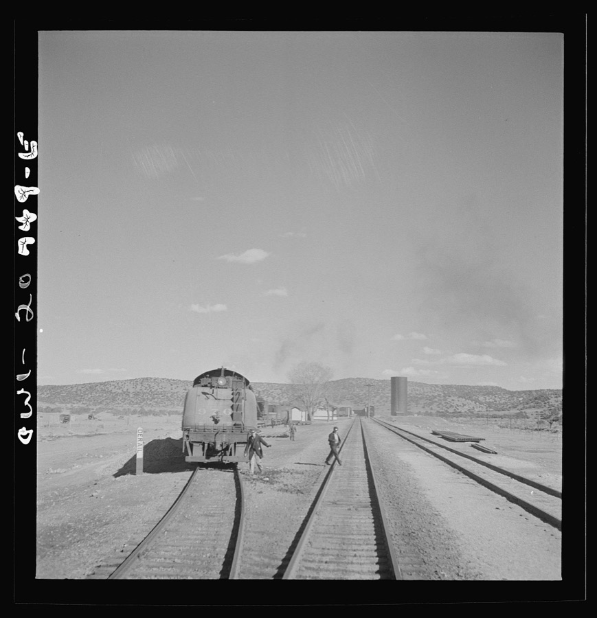
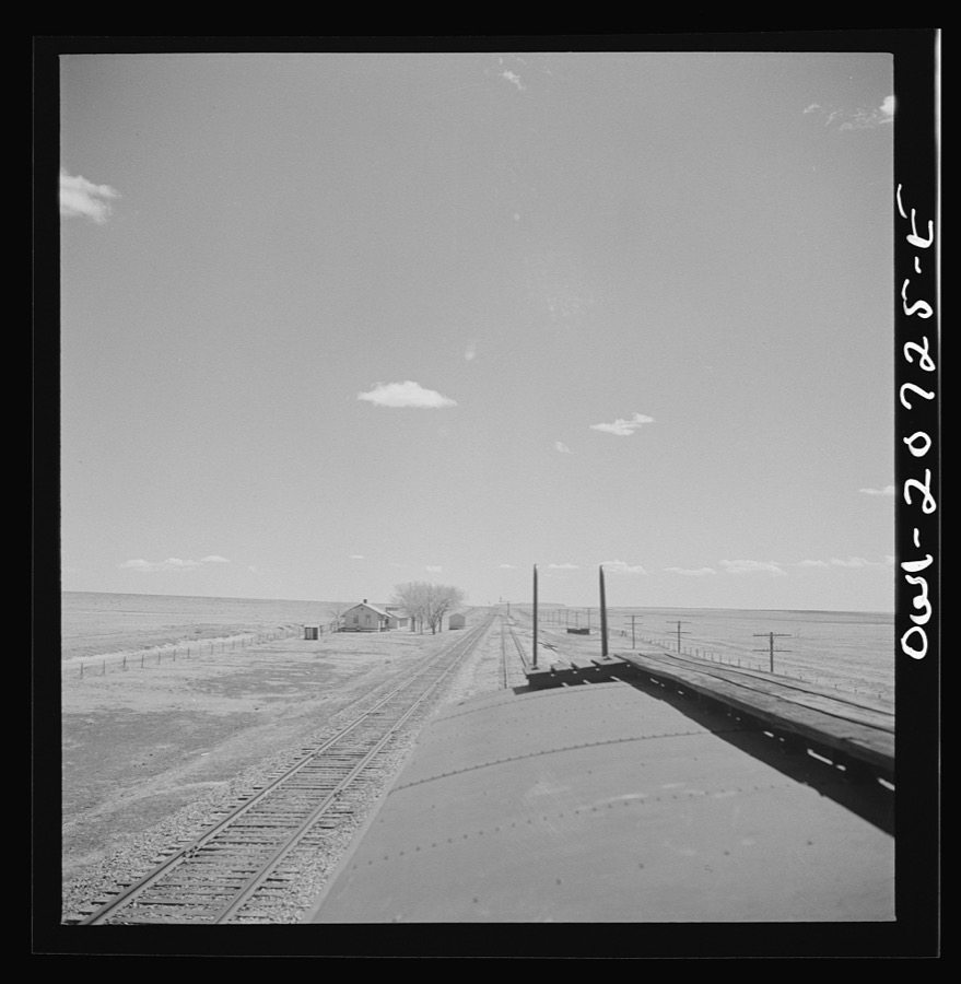
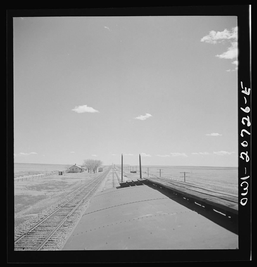
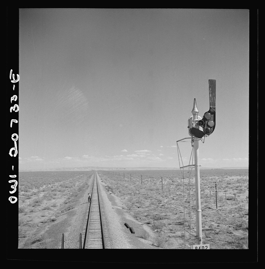
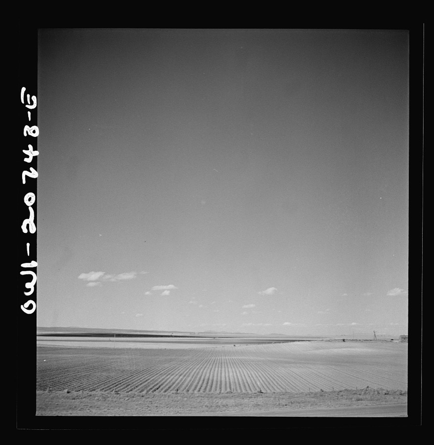
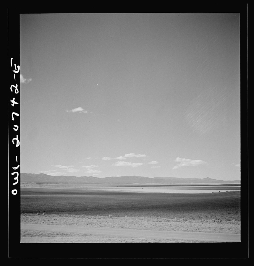
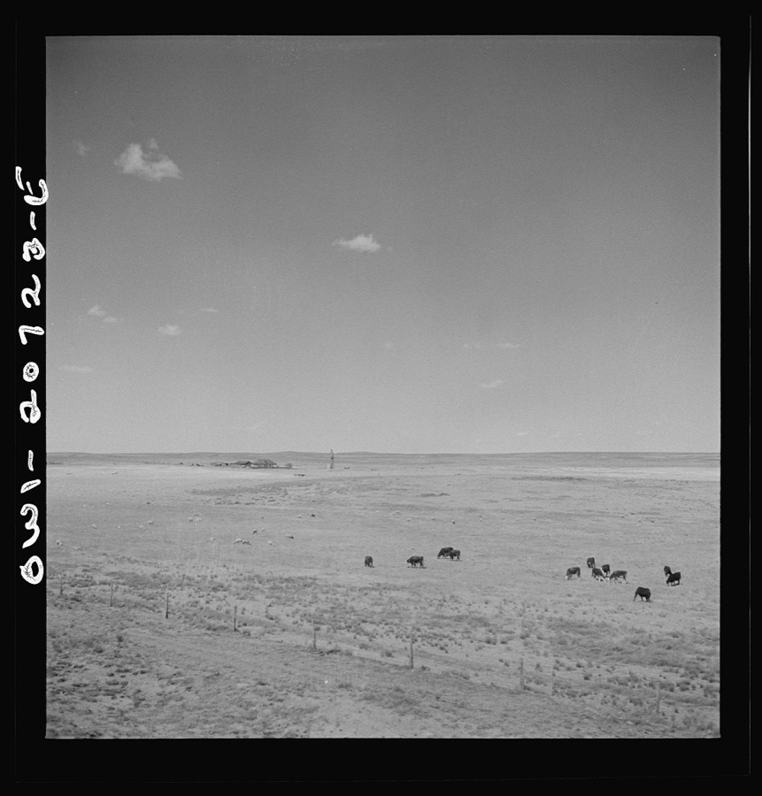
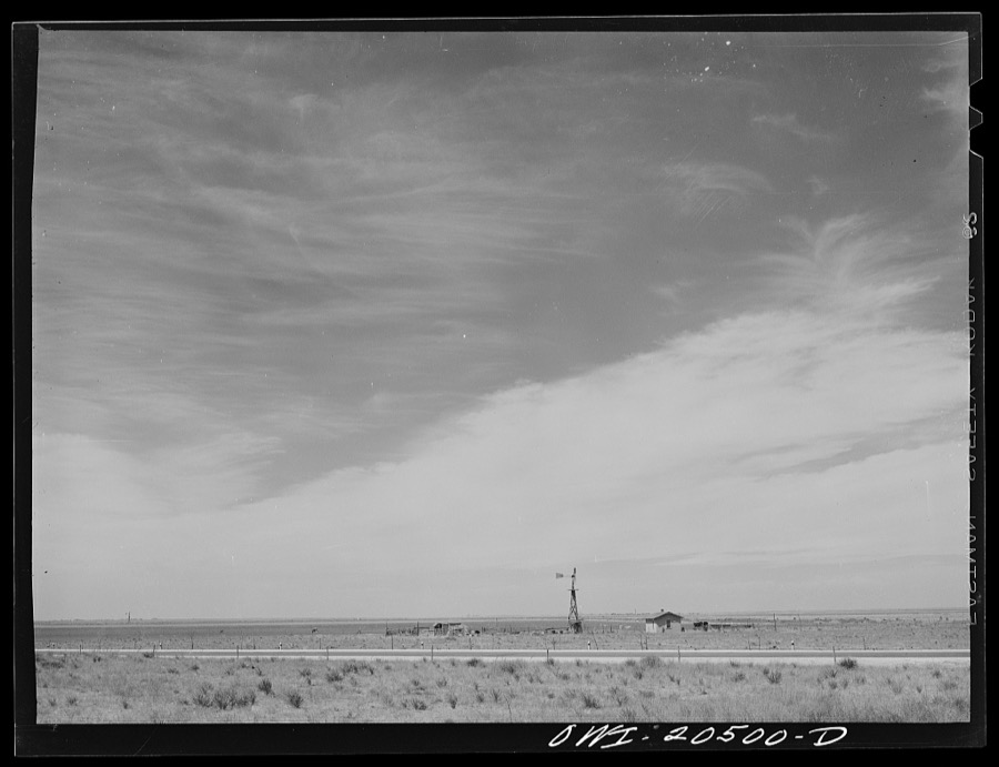
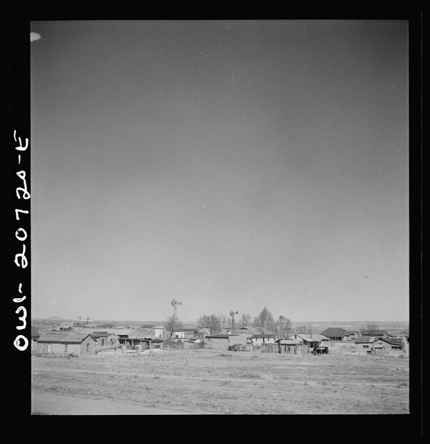
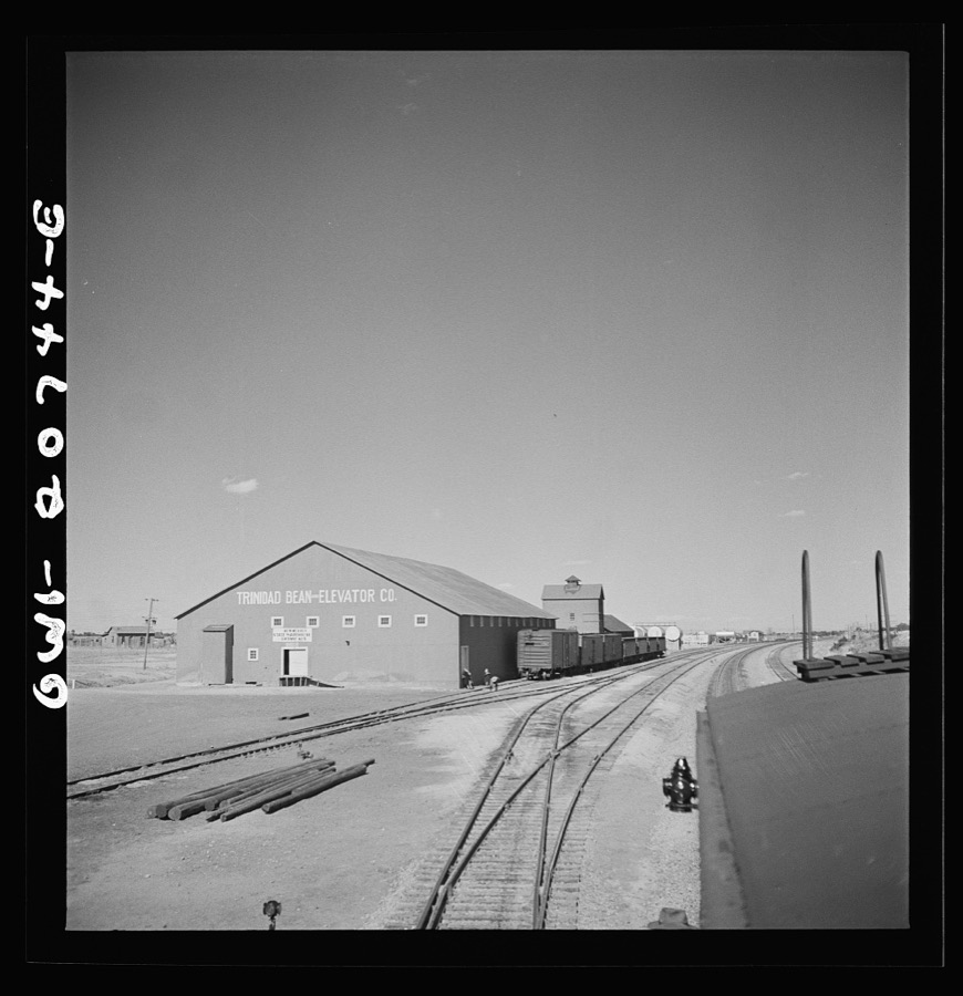
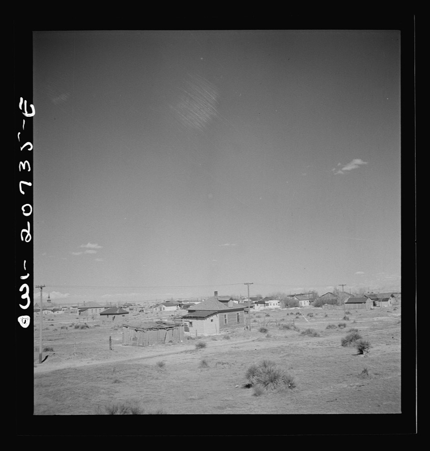
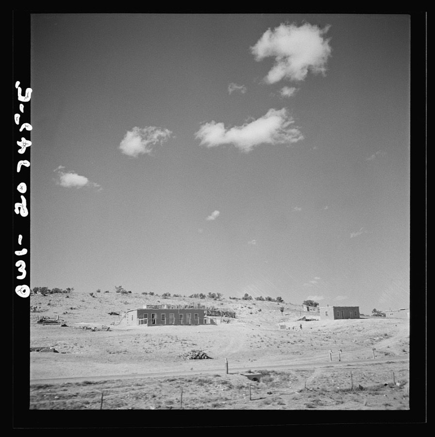
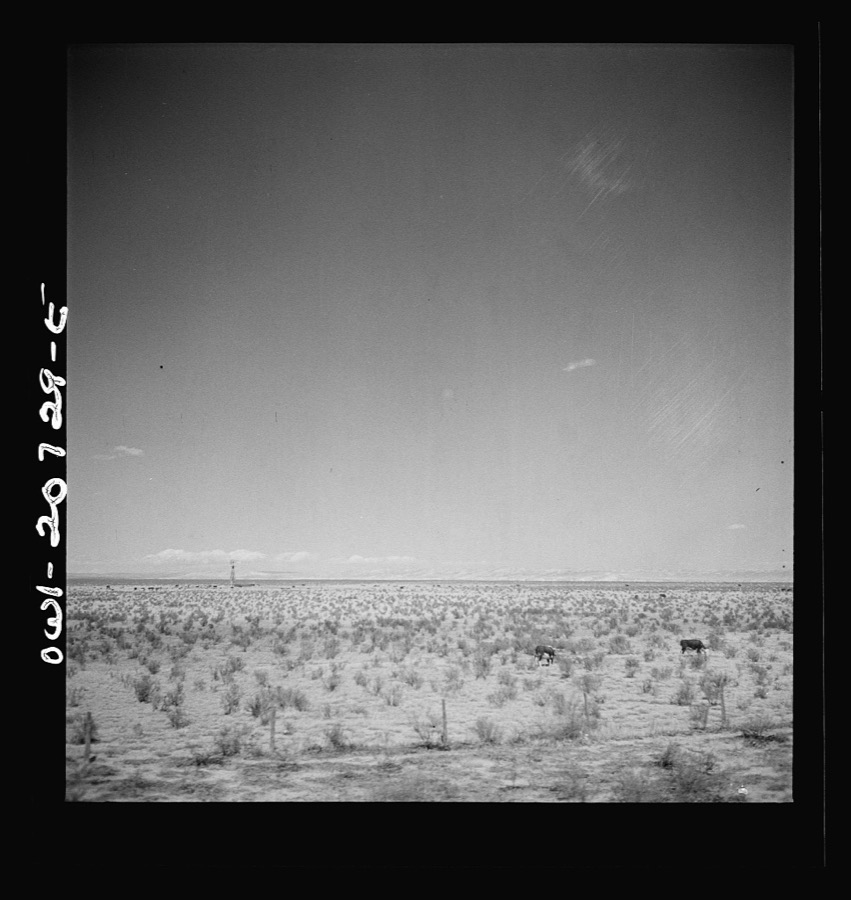
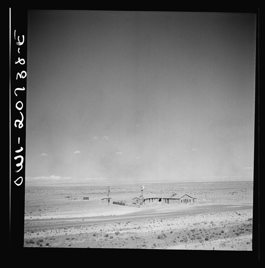
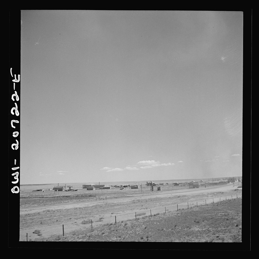
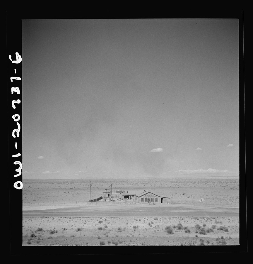
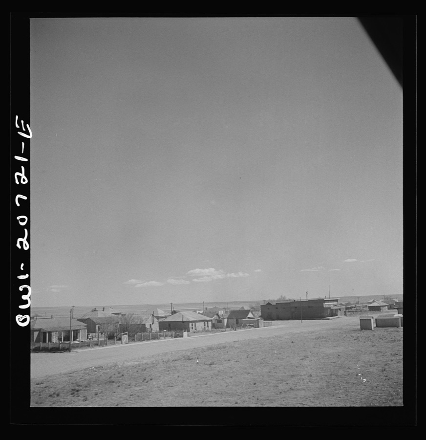
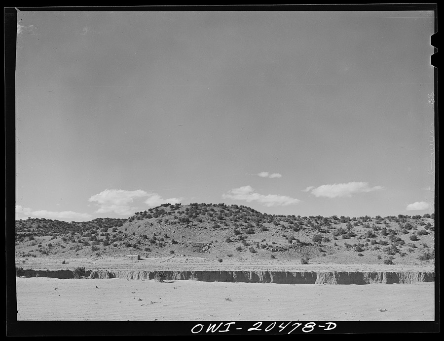
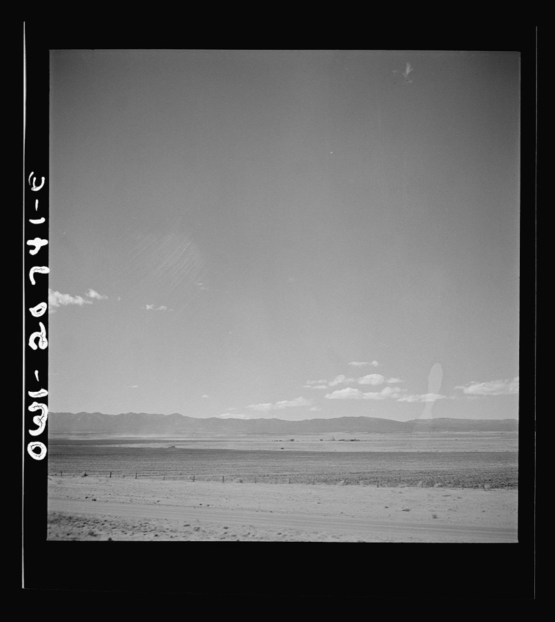
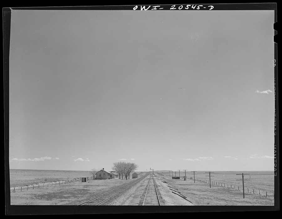
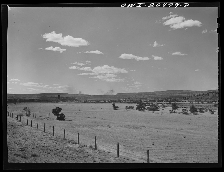
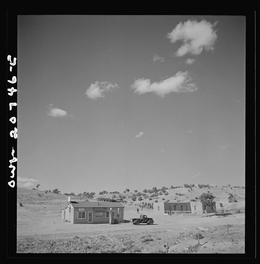
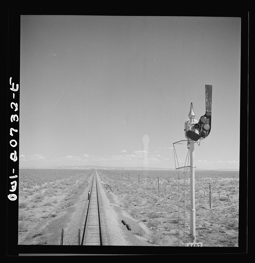
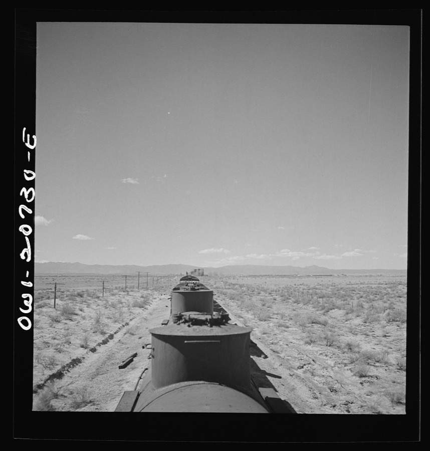
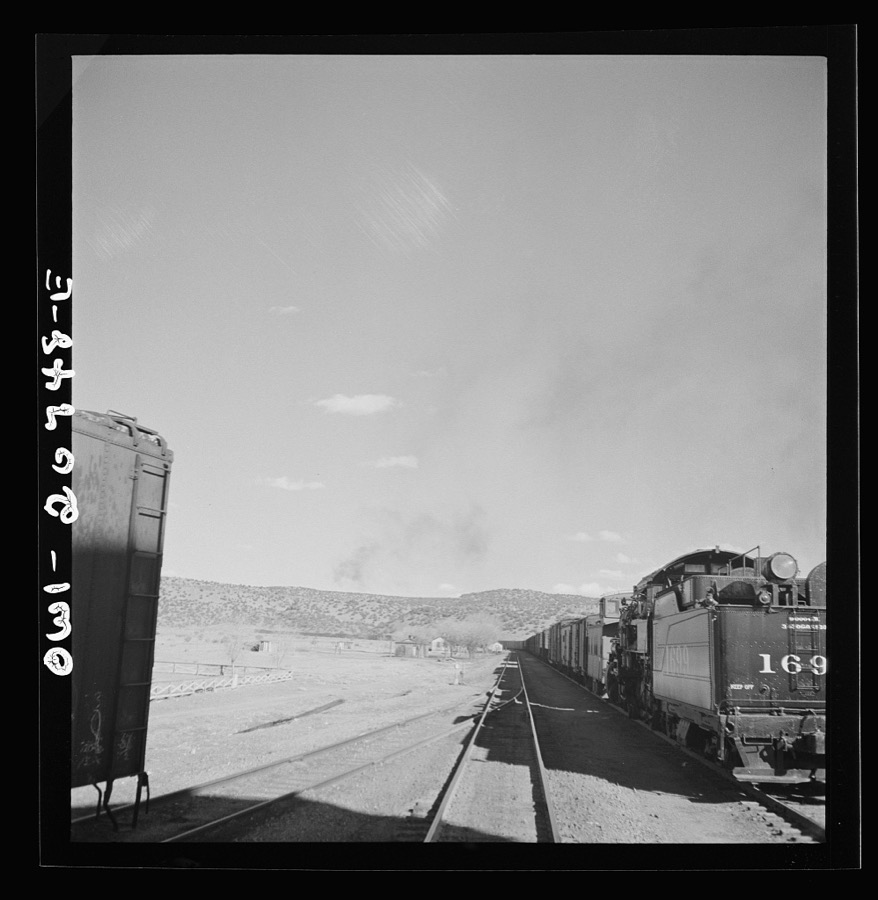
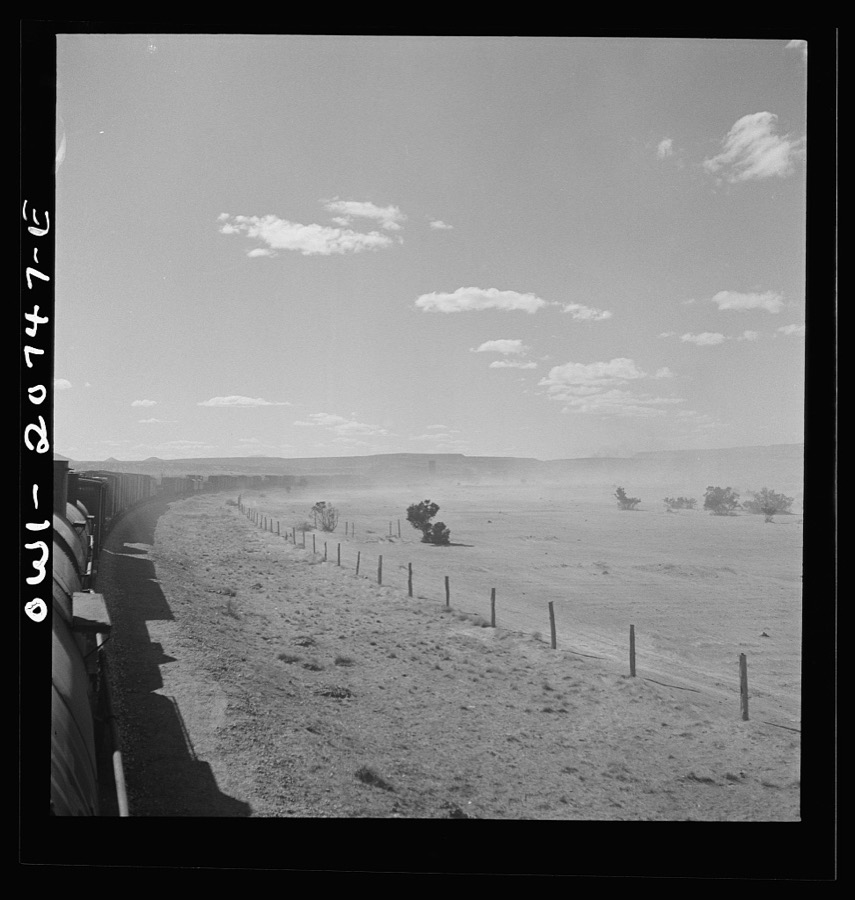
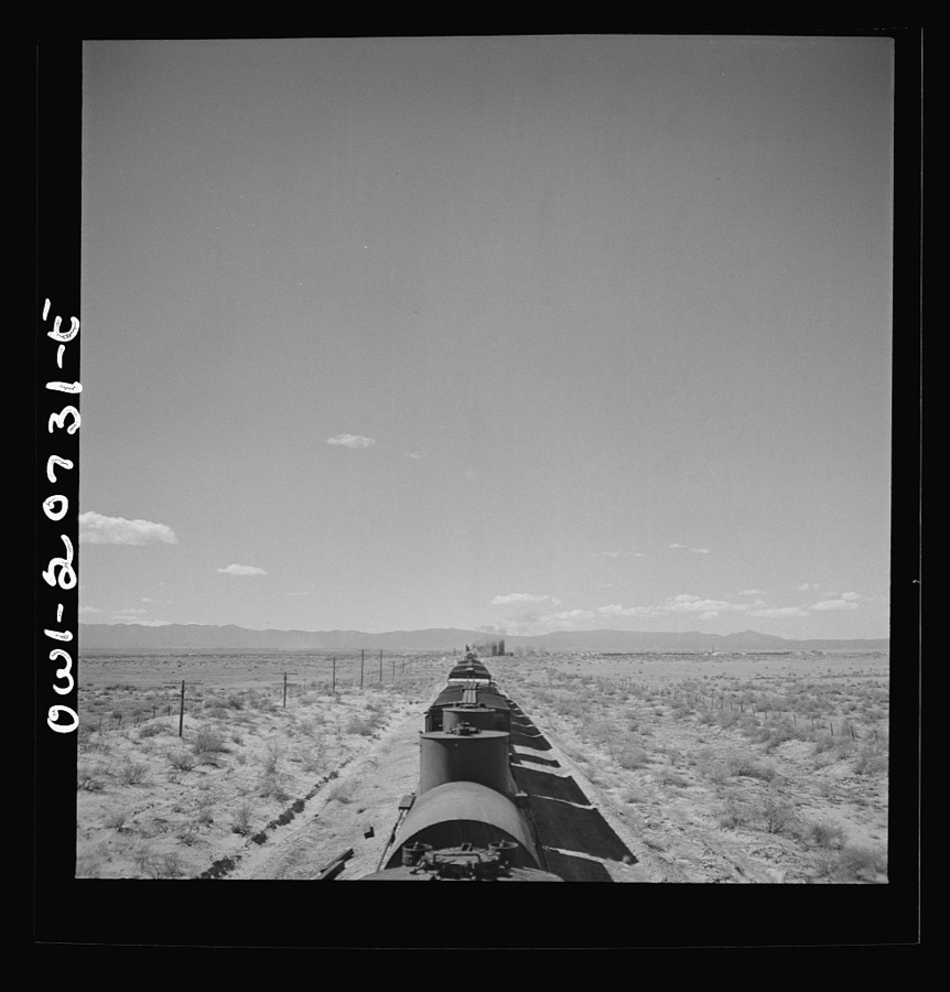
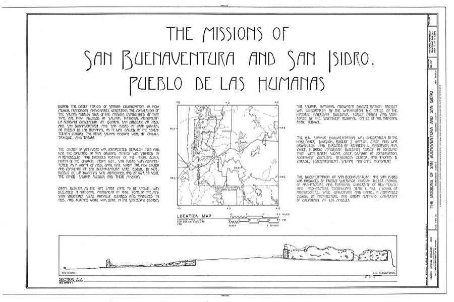
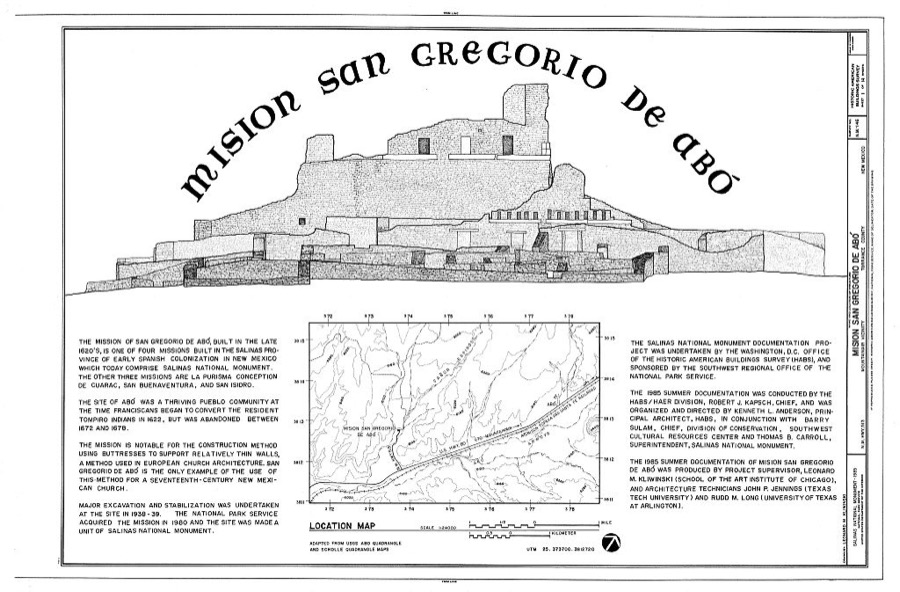
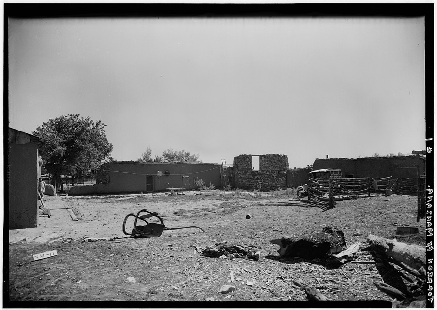
Every property in this county listed on the National Register of Historic Places, with the year it was listed and the federal nomination document.
| Photograph | Property | Type | Listed | Reference |
|---|---|---|---|---|
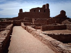 | Abo | site | 1966 | 66000497 |
| Duran Historic District | district | 2021 | 100005733 | |
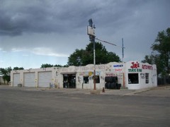 | Greene Evans Garage | building | 1993 | 93001211 |
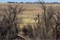 | Moriarty Eclipse Windmill | structure | 1979 | 79001561 |
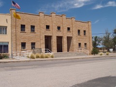 | Mountainair Municipal Auditorium | building | 1987 | 87000651 |
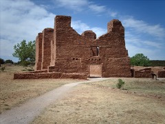 | Quarai | district | 1966 | 66000498 |
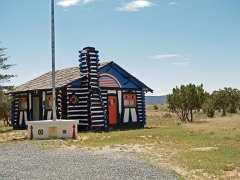 | Rancho Bonito | building | 1978 | 78001834 |
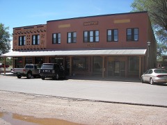 | Shaffer Hotel | building | 1978 | 78003077 |
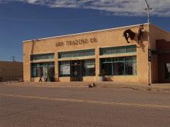 | Willard Mercantile Company | building | 2018 | 100003219 |
Sampled issues, machine-read from the Library of Congress scan and published page by page, so every headline and column is searchable text.
Estancia, N.M., 1911 to 1912. Machine-read from the Library of Congress scan.
Estancia, Torrance County, N.M., 1904 to 1912. Machine-read from the Library of Congress scan.
Estancia, Nuevo Méjico, 1904 to 1908. Machine-read from the Library of Congress scan.
Mountainair, N.M., 1916 to 1941. Machine-read from the Library of Congress scan.
Estancia, Torrance County, N.M., 1912 to 19??. Machine-read from the Library of Congress scan.
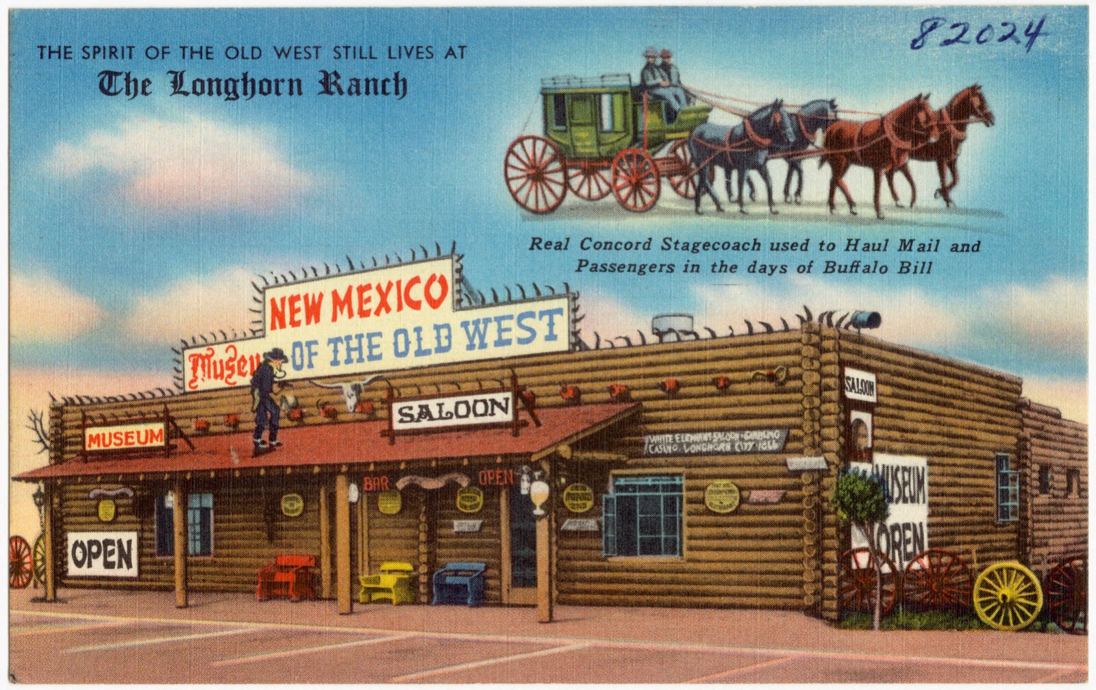
Selected from the Digital Public Library of America's 1 image records catalogued for this county. Every one shown here carries a public-domain status or a licence that permits reuse on a site that carries advertising; non-commercial, share-alike and restricted images are excluded. The selection is spread across the county's towns (at most eight per town), so no single institution's bulk upload crowds out the rest. Each opens the holding library's record, and the complete set at the Digital Public Library of America is one click away.
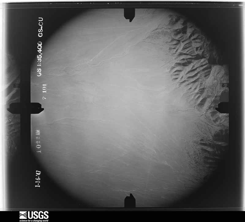
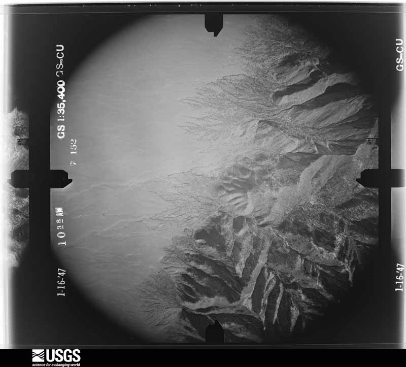
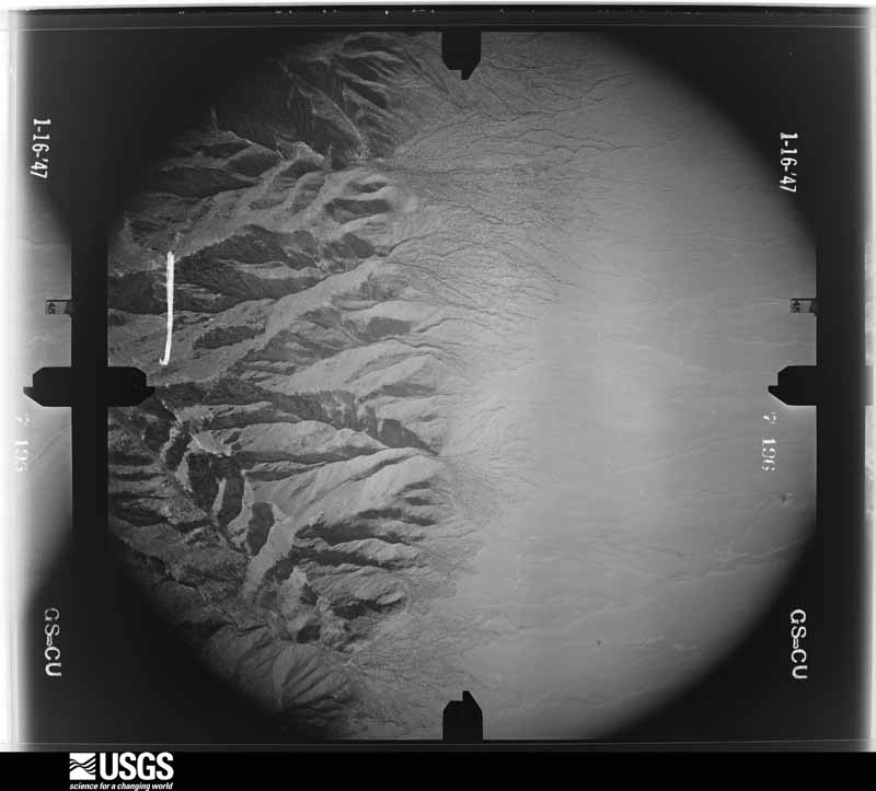
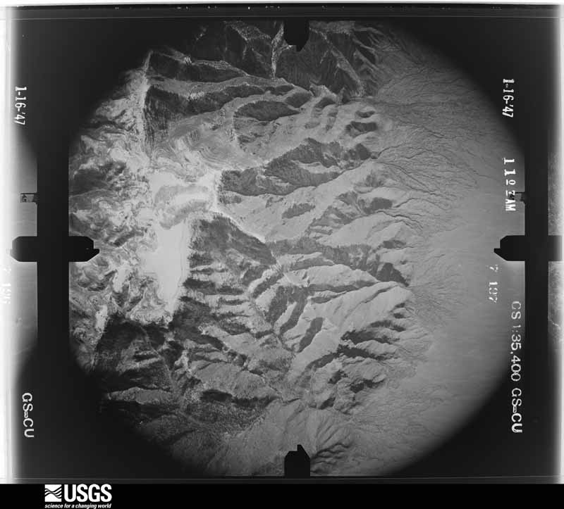
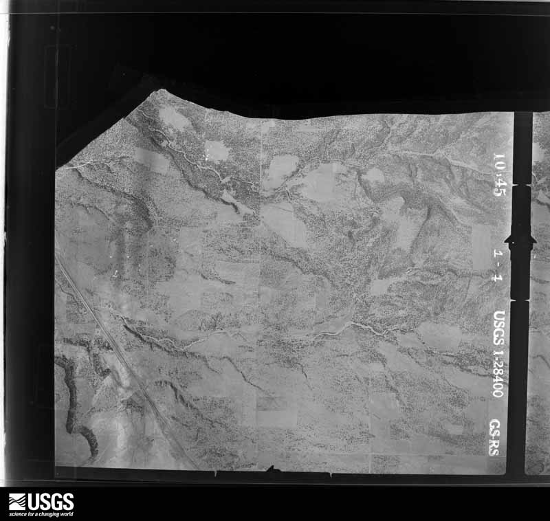
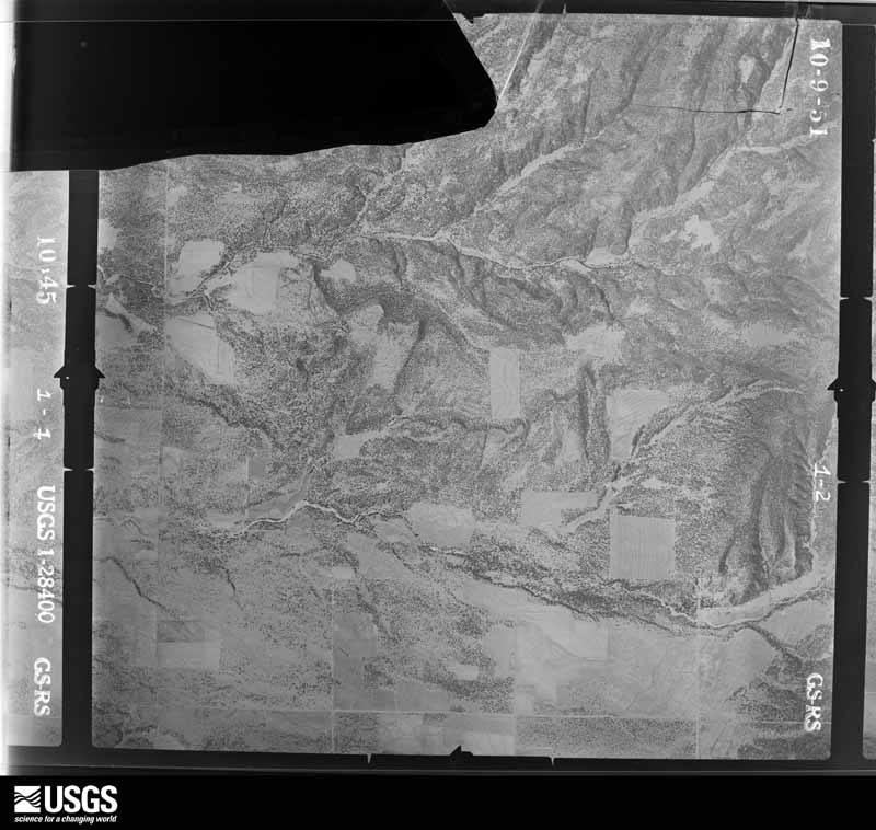
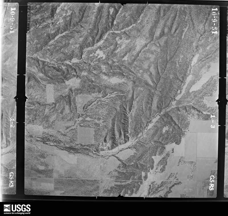
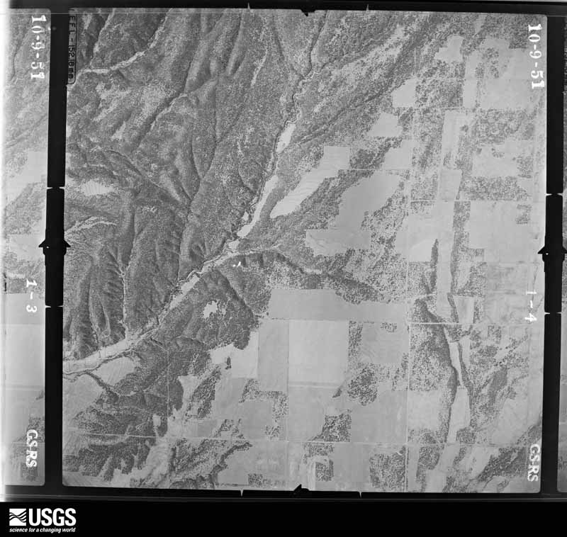
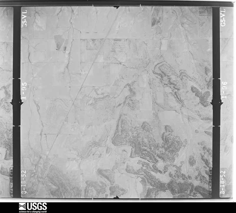
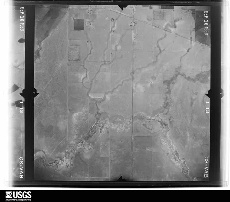
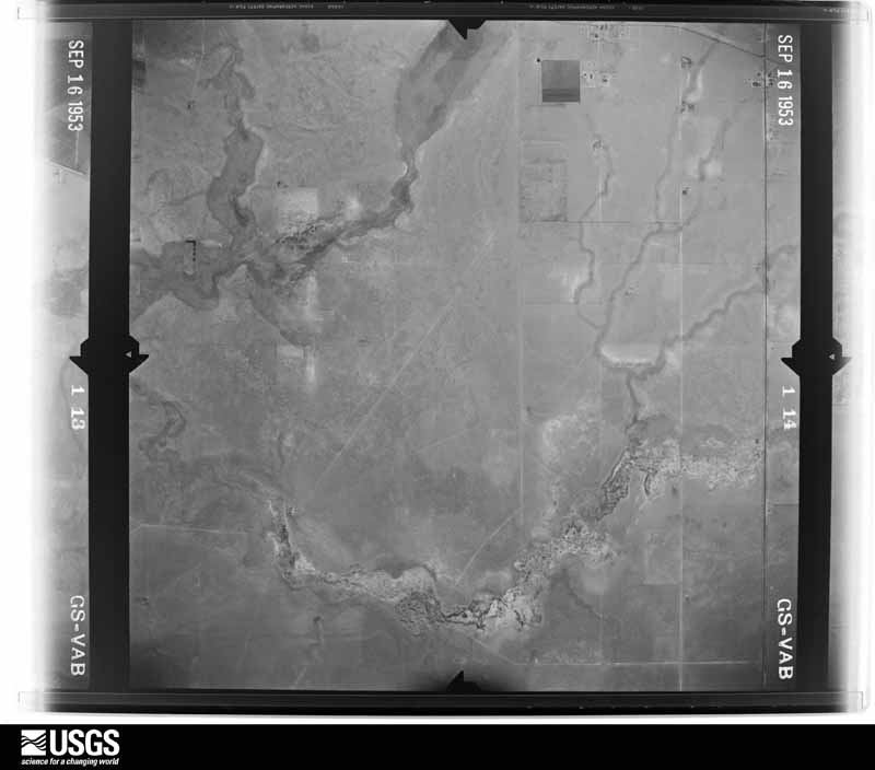
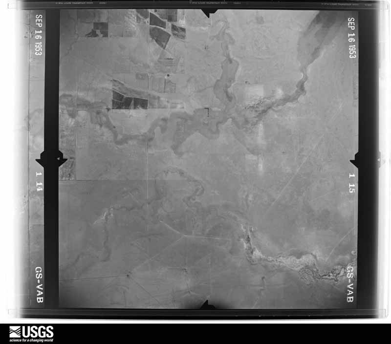
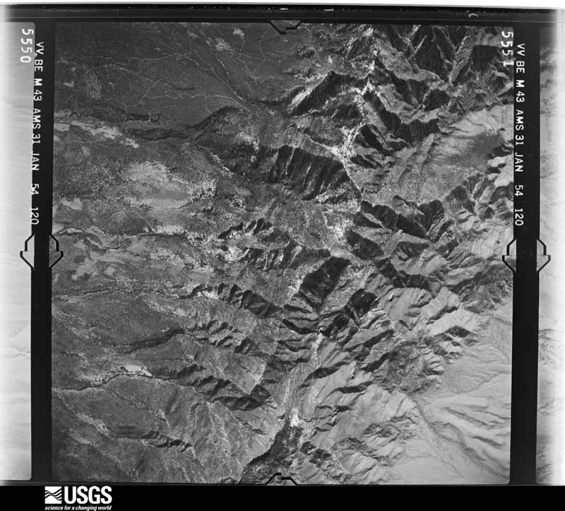
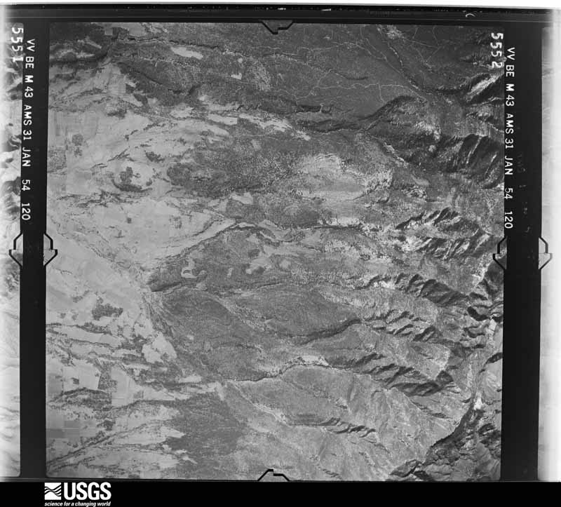
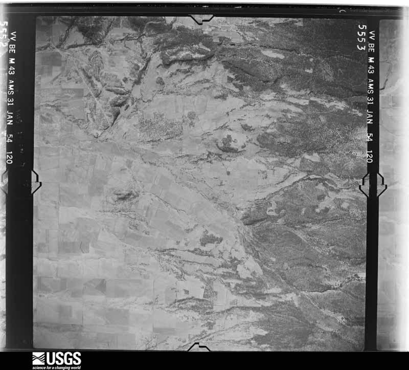
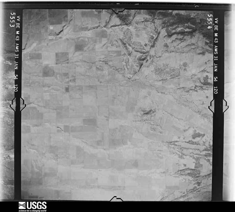
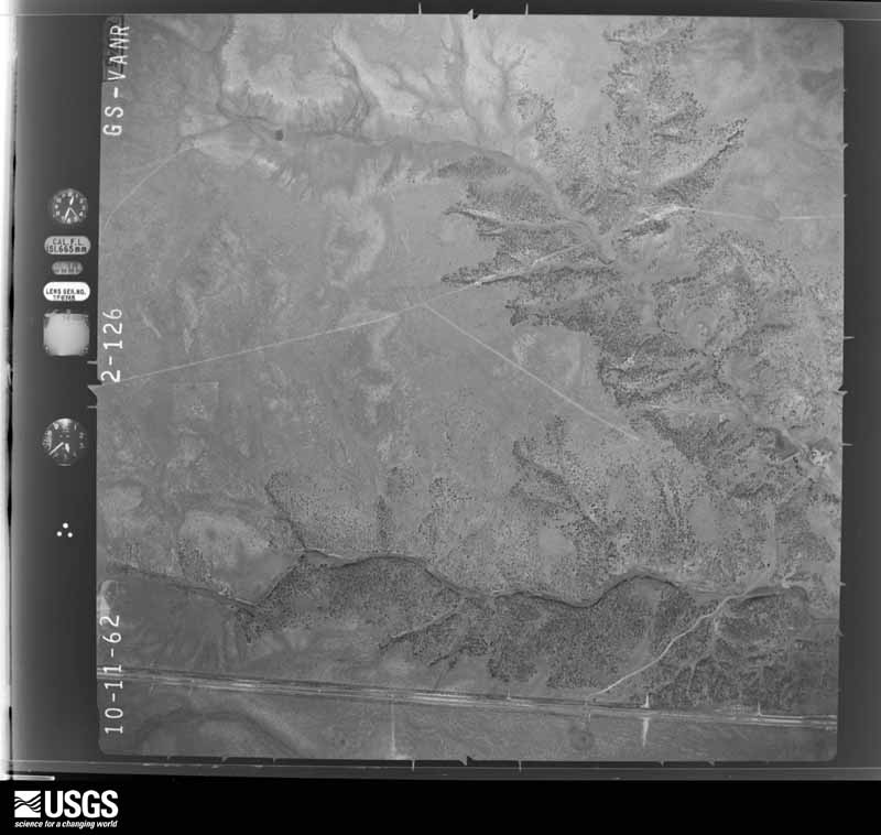
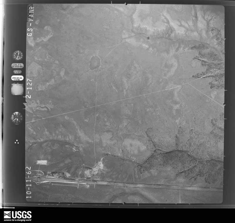
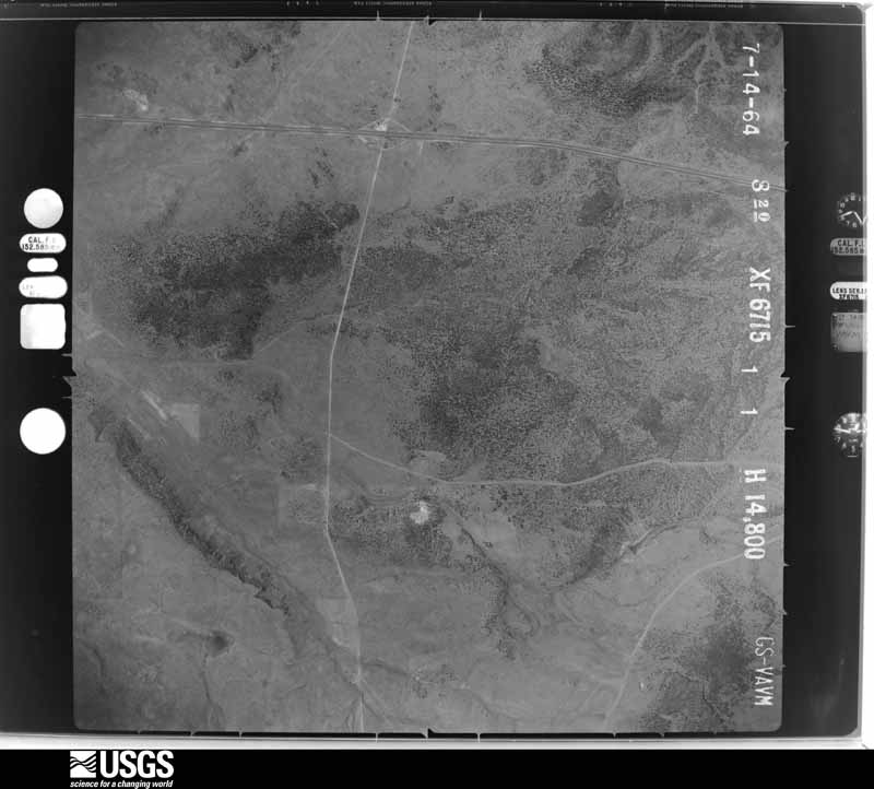
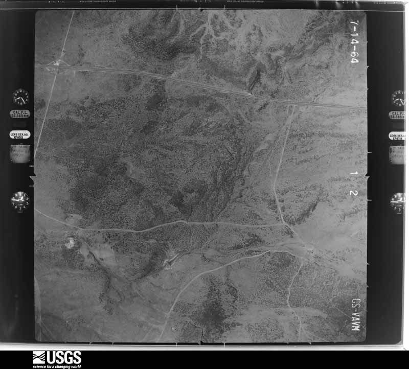
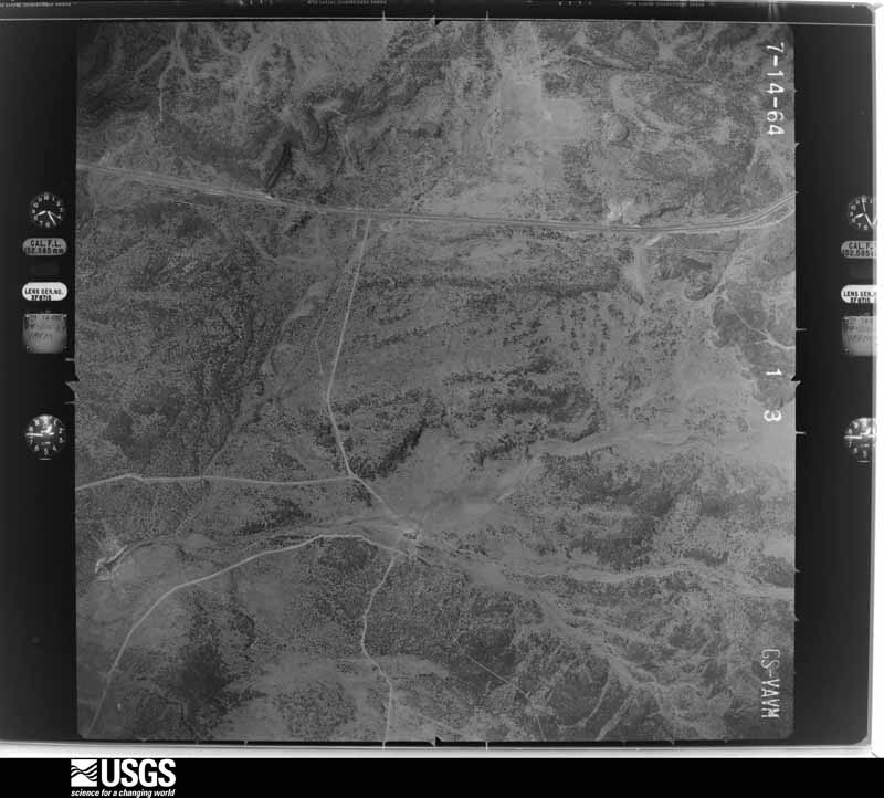
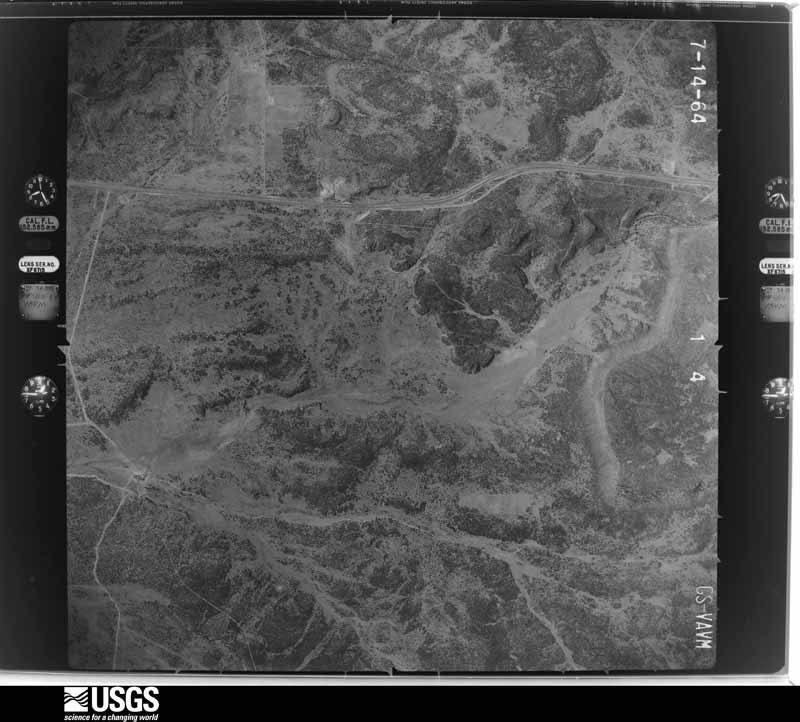
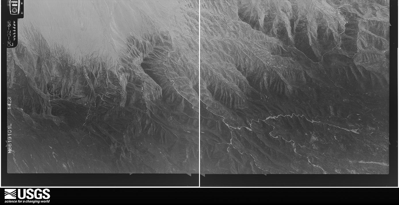
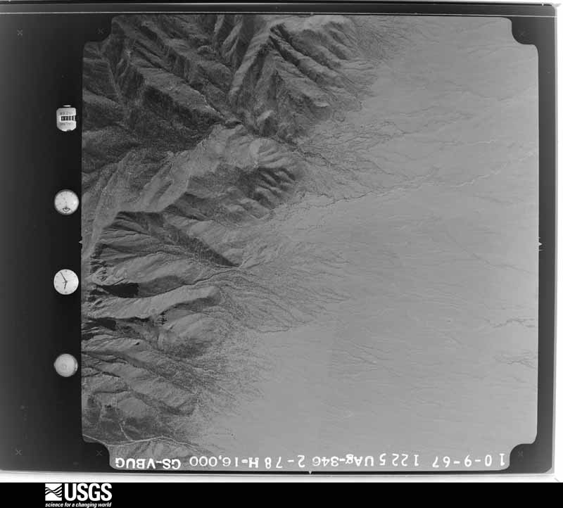
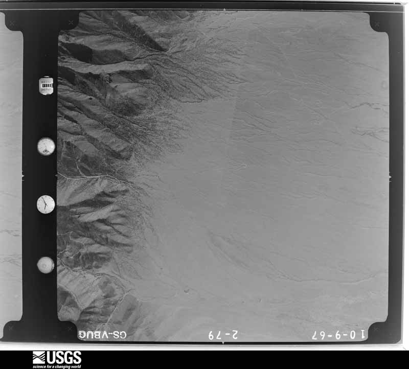
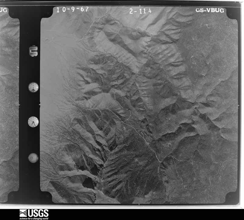
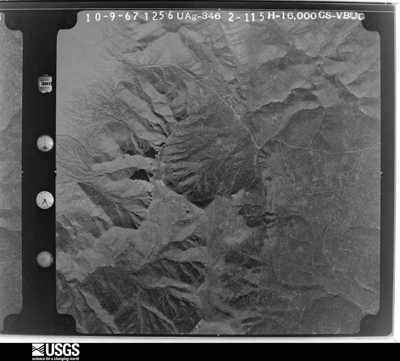
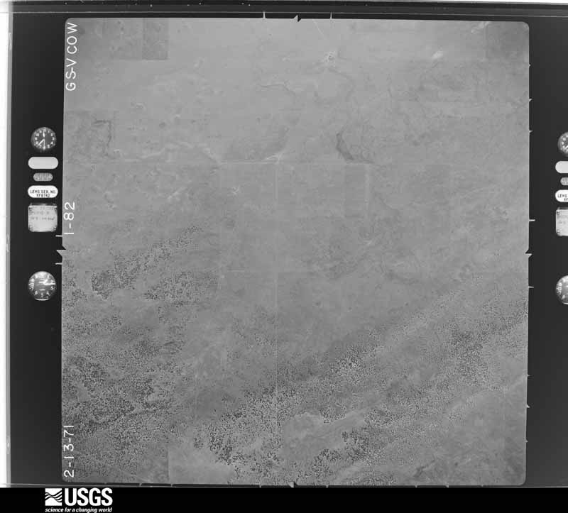
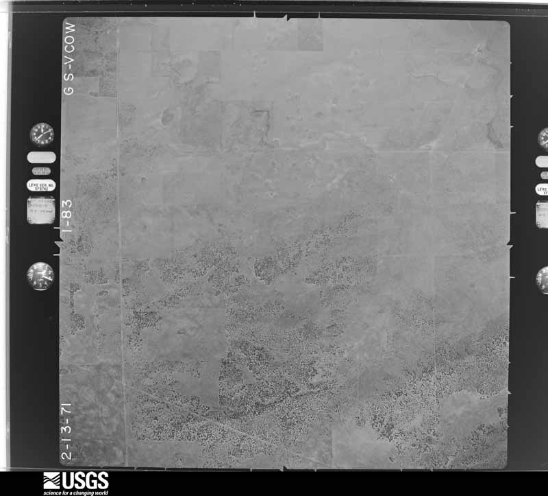
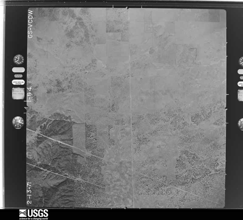
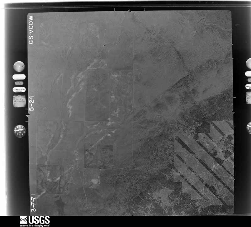
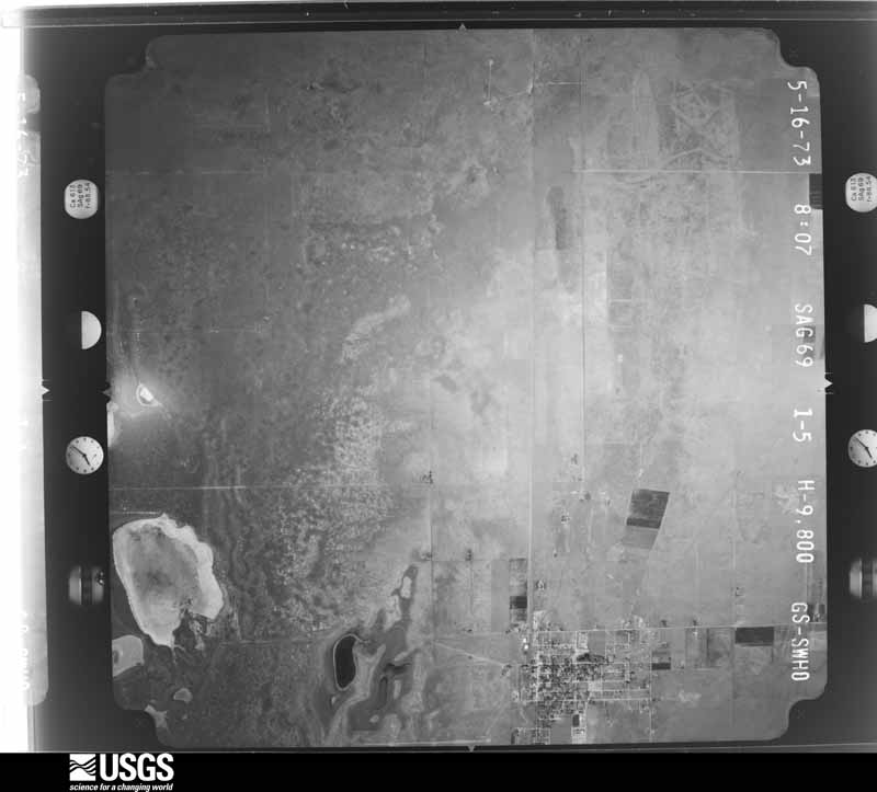
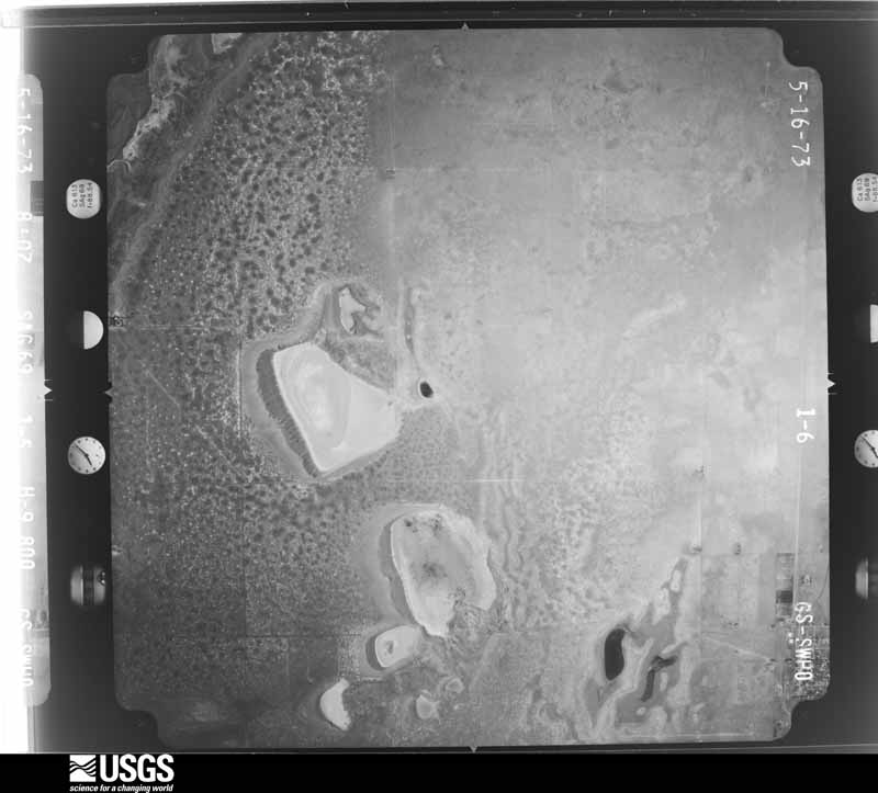
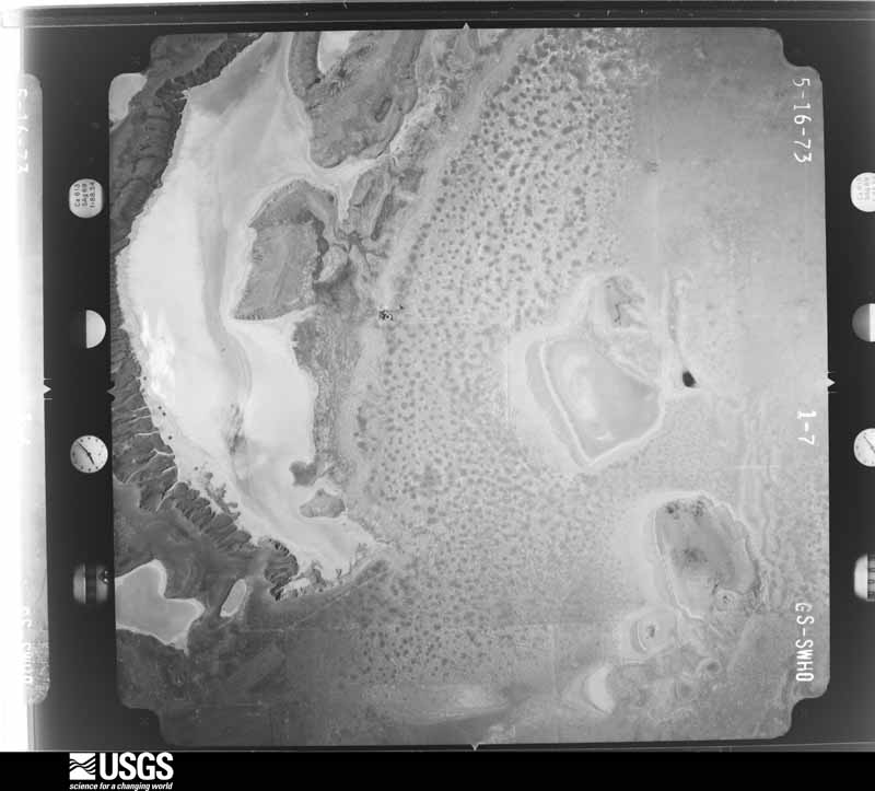
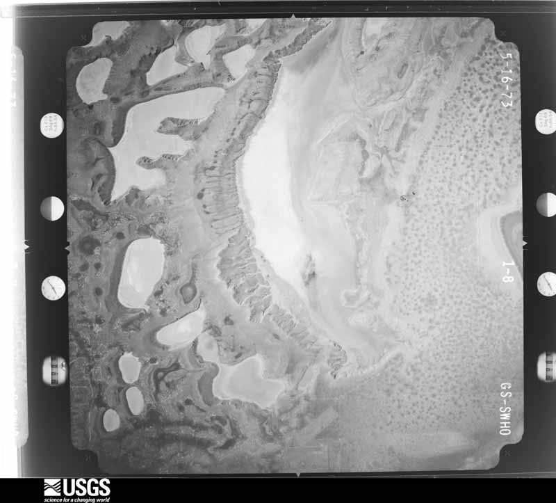
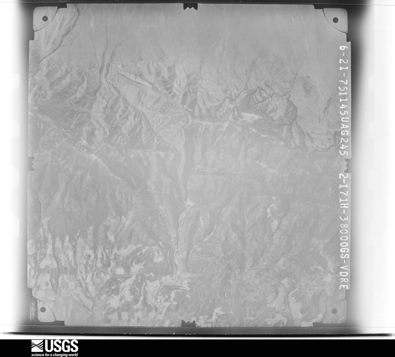
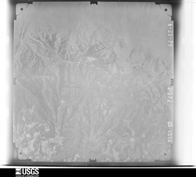
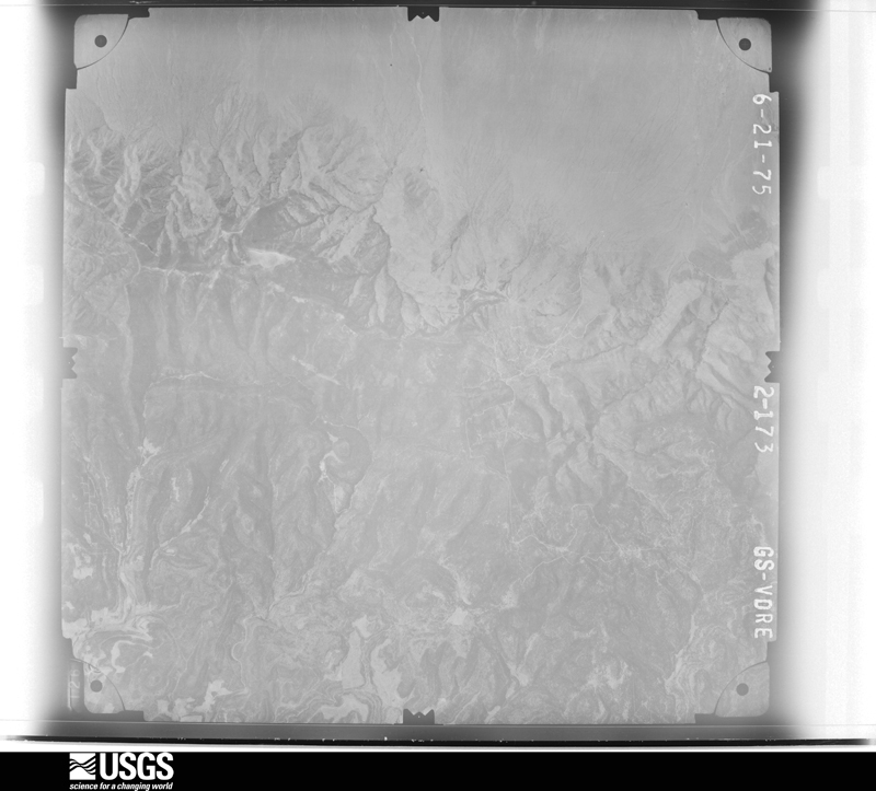
Flown by the U.S. Geological Survey between 1937 and 1989, the Aerial Photo Single Frames collection is the definitive mid-century view of the land: fields, roads and rivers as the camera saw them. The Survey holds 2,608 frames inside the rectangle that bounds this county; the 48 frames below were taken over the county itself, chosen across the decades of flights (at most four a year from that rectangle), so one flight cannot crowd out the rest. The full set is free to browse and download at EarthExplorer under the dataset Aerial Photo Single Frames.
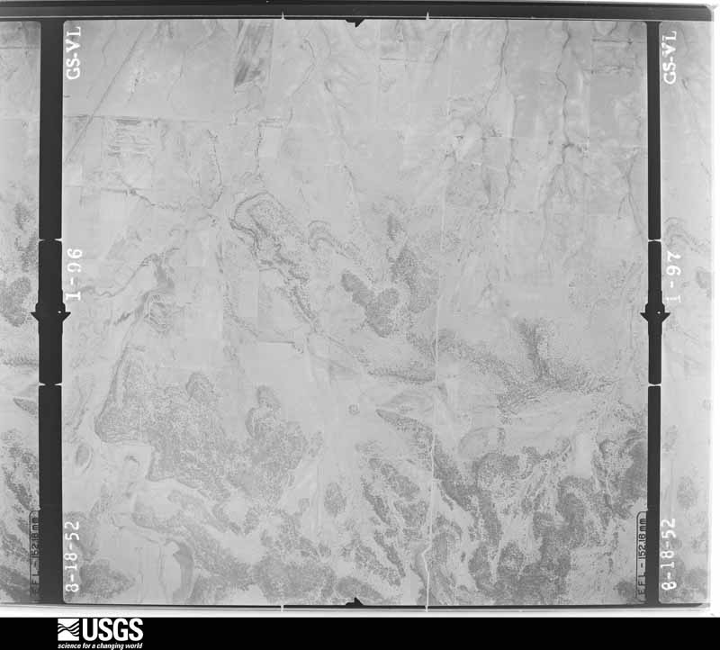
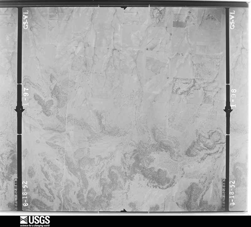
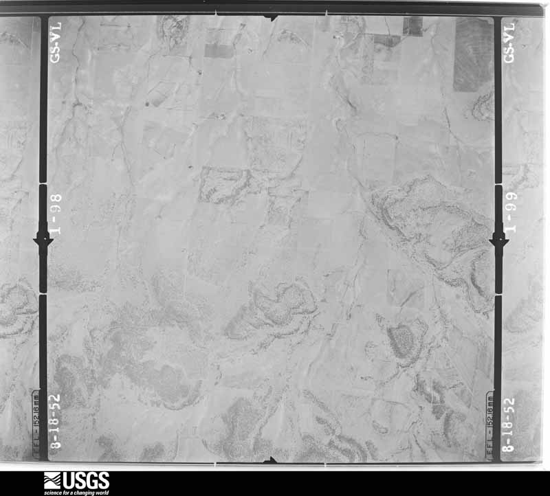
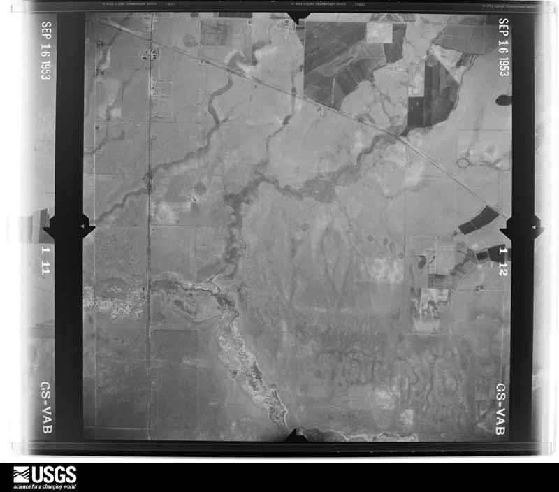

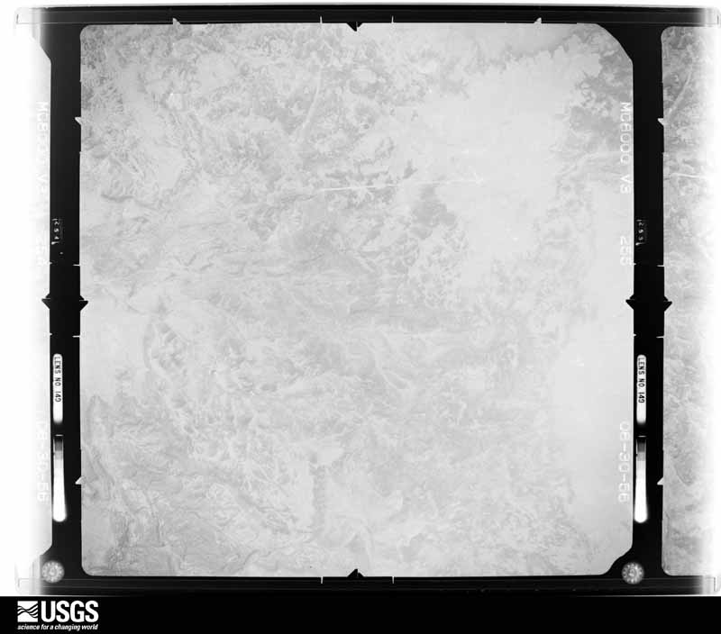
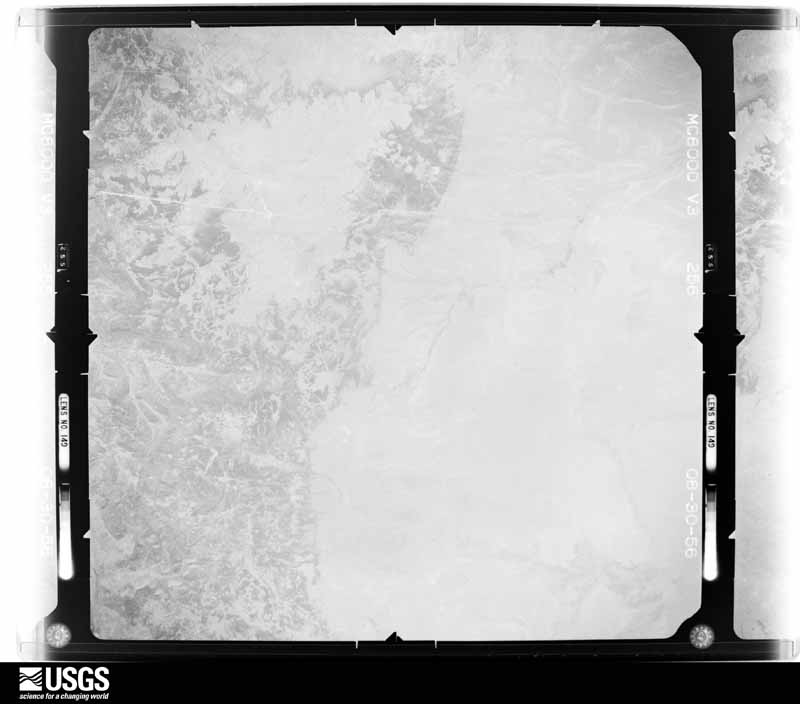
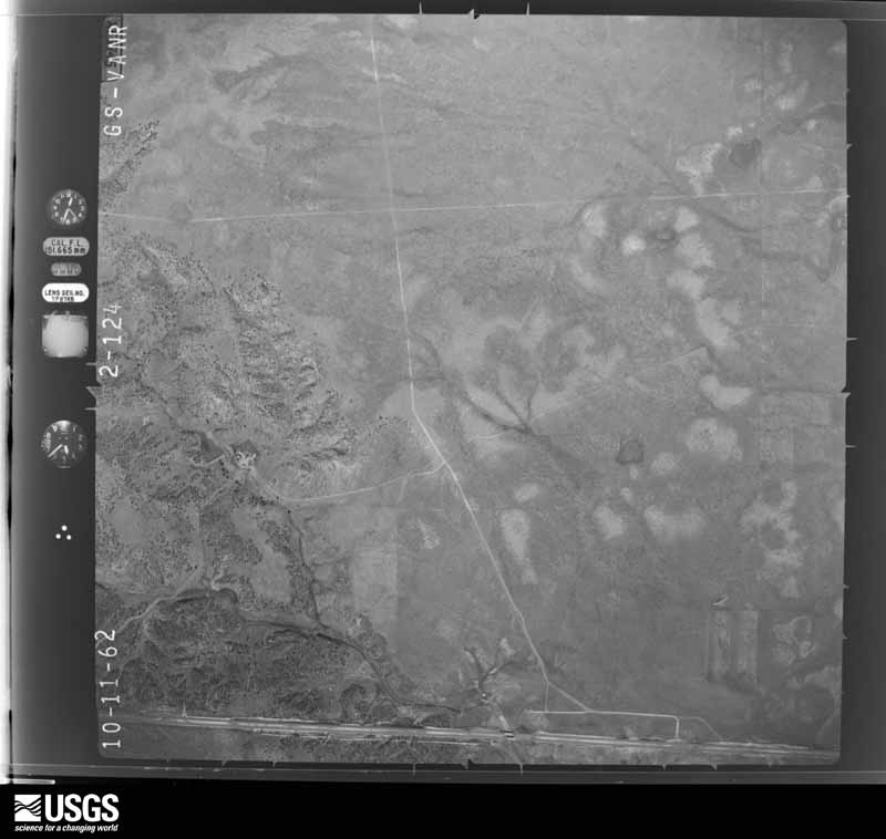
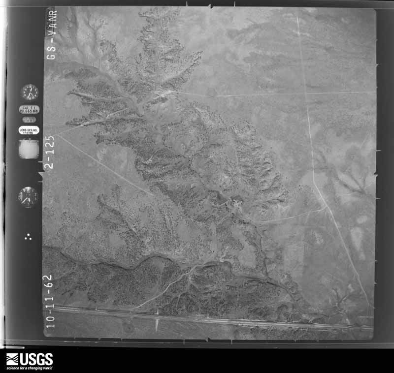
The thermometers that kept this county's weather, as the federal records hold them. The extremes below are measured values from those records, not estimates.
Who lived here in 1950, one enumeration district at a time, as the Census Bureau described each district. Each row opens its official National Archives result, with Population Schedules and ED Maps available there.
Every wildfire the federal occurrence database records inside this county: 797 of them, burning about 81,896 acres. 217 started naturally and 7 were recorded as arson. Each settlement page carries the fires within five miles of it.
| Reported cause | Fires |
|---|---|
| Missing data/not specified/undetermined | 324 |
| Natural | 217 |
| Recreation and ceremony | 75 |
| Debris and open burning | 61 |
| Equipment and vehicle use | 58 |
| Smoking | 27 |
| Power generation/transmission/distribution | 8 |
| Arson/incendiarism | 7 |
| Fireworks | 7 |
| Misuse of fire by a minor | 6 |
| Railroad operations and maintenance | 5 |
| Other causes | 1 |
| Firearms and explosives use | 1 |
The five largest, by the area the report gives. None of them was recorded as arson.
| Date | Cause | Size | Reported by | Name on the report |
|---|---|---|---|---|
| 14 June 2016 | Equipment and vehicle use | 17,912 acres | Cibola National Forest | DOGHEAD |
| 2 March 2016 | Equipment and vehicle use | 8,000 acres | Las Vegas District | FRIO DRAW |
| 19 November 2007 | Missing data/not specified/undetermined | 6,969 acres | Cibola National Forest | OJO PEAK |
| 24 June 2008 | Natural | 5,478 acres | Cibola National Forest | BIG SPRING |
| 21 May 2004 | Recreation and ceremony | 5,280 acres | Cibola National Forest | LOOKOUT |
| 21 April 2001 | Recreation and ceremony | 4,500 acres | Cibola National Forest | PINATOSA |
| 22 June 2008 | Natural | 3,000 acres | Bernalillo District | BAR S |
| 20 December 1996 | Missing data/not specified/undetermined | 3,000 acres | New Mexico State Forestry Division | JEAN |
Every settlement page carries the fires within five miles of it - see the settlement index below.
The NOAA Storm Events Database holds 245 reports for this county, causing no deaths, 13 injuries and about $2,027,310 in recorded property damage. Each settlement page carries the reports that name it.
| Kind of event | Reports |
|---|---|
| Hail | 131 |
| Thunderstorm Wind | 49 |
| Flash Flood | 27 |
| Tornado | 18 |
| Funnel Cloud | 13 |
| Lightning | 3 |
| Dust Devil | 2 |
| Flood | 1 |
| Heavy Rain | 1 |
The most serious of them, by death, then injury, then recorded damage. The accounts are quoted exactly as the forecast office filed them.
| When | Event | Place named | Harm | What the report says |
|---|---|---|---|---|
| June 2017 | Hail | (Cqc)Clines Corners | 10 hurt, $1,000,000 | A major hail storm struck Interstate 40 at State Road 3 producing significant damage and impacts to travel. Hail up to the size of tennis balls slammed the Interstate. Numerous vehicles had windshields smashed out. Traffic was stopped for over two hours. Emergency response personnel attended to several stranded vehicles with injured motorists. Hail was up to five inches deep and flooding was reported along highway. |
| July 2013 | Lightning | Moriarty | 2 hurt, $10,000 | A car traveling east bound on Interstate 40 three miles east of Moriarty at mile marker 199 with 4 occupants was struck by lightning. One child and one adult were injured and treated at the scene. Car's electronics were destroyed and vehicle towed from scene. |
| April 2014 | Lightning | Moriarty | 1 hurt | A man was grazed by a lightning strike 10 feet away while photographing a dust devil near Moriarty. The man survived the shock however no details on the extent of his injuries was reported. |
| September 2021 | Flash Flood | Moriarty | $250,000 | One to two inches of heavy rainfall caused flash flooding in Moriarty. Torrance County Dispatch reported torrential rainfall with a severe thunderstorm crossing Interstate 40 near Moriarty. Visibility was near zero which forced many travelers to pull off the road. Several Moriarty residents reported flood damage from the heavy rainfall. The water continued to flow southward through McIntosh and even caused Estancia Park Lake to overfill its banks. The extent of damages is unknown, therefore, damage amounts are a rough estimate. |
| July 2021 | Hail | Pinos Wells | $150,000 | A trained spotter near Corona reported baseball size hail from a severe thunderstorm tracking north-northeast through the area. The spotter reported that their front and rear windshields on their truck were broken as well as their rearview mirrors. Other reports of damage to about 100 vehicles was received although the extent of the damage is not known. A horse trailer also sustained damage while a horse lost one of its eyes due to hail injuries. Damages are estimated for extensive vehicle damage. |
| September 2021 | Thunderstorm Wind | Moriarty | $100,000 | A severe thunderstorm tracking southeast across Interstate 40 near Moriarty caused thunderstorm wind damage with estimated 60 to 70 mph winds. A Moriarty resident reported that multiple trees were downed in the area with widespread power outages. Another resident's above ground cistern was also moved several feet by the strong winds. Schwebach Farms in Moriarty reported extensive damage to their entire farm crops which forced them to harvest the entire crop immediately. Damages are a rough estimate. |
| June 1999 | Hail | Estancia | $100,000 | Large hail pounded vehicles and broke windows after a storm moved south from Santa Fe and merged with other storms near Estancia and northeast of Willard. |
| October 2008 | Thunderstorm Wind | Moriarty | $80,000 | A steel building was destroyed and blown onto Interstate 40, six power poles were snapped, at least three water tanks were damaged beyond repair and a pumpkin shooter was damaged from sustained winds estimated at 55 to 70 mph with gusts of 90-100 mph. Corn stalks were also damaged in a large corn maze. |
| July 2021 | Hail | Duran | $50,000 | A COOP observer reported ping pong size hail from a slow-moving thunderstorm near Duran. The observer also reported several vehicles were damaged due to broken windshields and rearview mirrors. Damages are estimated for the unknown amount of vehicles damaged. |
| May 2019 | Thunderstorm Wind | Mc Intosh | $50,000 | Thunderstorm downburst winds destroyed a barn in McIntosh. Damage amounts are a rough estimate. |
| July 2021 | Thunderstorm Wind | Moriarty Arpt | $30,000 | A resident in Moriarty reported severe thunderstorm winds that resulted in damage within their neighborhood. The resident reported that the thunderstorm gusts blew their garage door off its tracks. The severe winds also overturned a 5th wheel travel trailer which landed on a mini-van. Damages are estimated for the garage door and the damage to the trailer and van. |
| July 2023 | Thunderstorm Wind | Moriarty | $20,000 | A thunderstorm downburst lifted a large solar panel unit and its concrete pillars out of the ground and tossed it several feet away. Many of the panels and the steel frame were damaged or destroyed. |
| June 2016 | Hail | (Cqc)Clines Corners | $20,000 | Golf ball size hail on Interstate 40 at Clines Corners. Torrential rainfall near 2.5 inches also fell with this storm. |
| June 2016 | Hail | (Cqc)Clines Corners | $20,000 | Quarter to golf ball size hail, with a few up to hen egg size, accumulated 2 to 4 inches deep along U.S. Highway 285. Three vehicles had to pulled out of ditches in the area. |
| June 2016 | Hail | (Cqc)Clines Corners | $20,000 | Golf ball size hail smashed car windows at Flying C Ranch east of Clines Corners. |
| September 2013 | Flash Flood | Mc Intosh | $20,000 | Roads became impassible and a vehicle was stranded near a ranch. A barn and nearby building were flooded. Flash flooding turned into areal flooding as rain continued and water remained over roadways through the following morning. Low lying areas throughout the area ended up flooded. |
| June 2014 | Thunderstorm Wind | Mc Intosh | $15,000 | Reports included an overturned semi-trailer truck, downed radio tower and near complete destruction of a barn-like structure. |
| August 2013 | Flash Flood | Tajique | $15,000 | Car washed off Riley Rd. when an arroyo overflowed between Routes 55 and 542. Vehicle dangled over the edge of arroyo and almost fell into the arroyo. Driver escaped safely. |
| July 2003 | Hail | Encino | $15,000 | no account filed |
| June 2024 | Flash Flood | Willard | $10,000 | Broadcast media shared a report from a semi-truck driver of flash flooding along NM Highway 42 just southeast of Willard, NM. Accumulating hail and an estimated 6 to 8 inches of heavy rain washed out and shutdown this stretch of highway. Snow plows were needed to be used to clear the way. There are no reports of injuries or casualties. Damage is an estimate. |
| May 1998 | Thunderstorm Wind | Moriarty | $10,000 | Dry microbursts with gusts of 50 to 60 mph were reported across Bernalillo and western Torrance counties. Roof damage was reported and a tractor trailor was turned on its side between Edgewood and Moriarty. |
| June 2025 | Hail | Moriarty | $5,000 | A CoCoRaHS observer reported golf ball size hail from a severe thunderstorm shattering the rain gauge and causing house and vehicle damage. |
| August 2016 | Hail | Moriarty | $5,000 | Slight hail damage to vehicle. |
| August 2014 | Flash Flood | Tajique | $5,000 | Three buildings had water flow into them including the dining hall, the tabernacle and the gymnasium at the Inlow Baptist youth camp. |
| August 2013 | Flash Flood | Torreon | $5,000 | Vehicle stuck in water. Driver tried to cross flooded road or low water crossing on Spangler Rd. between Routes 55 and 542. Needed police assistance. |
| July 2009 | Dust Devil | Moriarty Arpt | $5,000 | The strong dust devil produced some damage, including ripping the metal siding off a hay barn, damaging a coral and knocking over a 5th wheel trailer. |
| October 2004 | Hail | Encino | $3,000 | no account filed |
| May 1999 | Hail | Encino | $2,000 | Large hail killed about 25 lambs west of Encino. |
| July 1998 | Thunderstorm Wind | Moriarty | $2,000 | Thunderstorm winds caused barn roof damage in Moriarty. |
| August 2020 | Lightning | Encino | $1,500 | A lightning strike killed two cows at the Pedernal COOP ranch. Damage amounts are estimated for the loss of cattle property. |
| July 2010 | Flash Flood | Encino | $1,500 | Water up to one foot deep covered Highway 285/60 between Encino and Vaughn from 530 pm to 600 pm MST. Spotters reported large debris along the roadway, and significant fence line damage. |
| May 2023 | Hail | Estancia | $1,000 | There was a CoCoRaHS report of 1.5 inch hail that caused unknown minor damage. |
| May 2023 | Hail | Encino | $1,000 | A trained spotter reported hail stones up to 3.5 inches in diameter west of Encino. This resulted in a broken car windshield. |
| June 2015 | Thunderstorm Wind | Encino | $1,000 | COOP Observer reported strong winds causing a large tree limp to snap and land on carport. |
| August 2013 | Hail | Moriarty | $1,000 | Broadcast media partner relayed report of hail ranging in size from marble to golf ball in association with a passing storm near Moriarty. One half an inch of rain was also reported. |
| July 2010 | Flash Flood | Mc Intosh | $1,000 | Water accumulated on State Highway 41 with county roads along side the highway impassable. |
| May 2007 | Hail | Encino | $1,000 | Between 327pm and 415pm MST there were 3 reports of large hail and 2 reports of funnel clouds around Encino. Hail size ranged from 0.75 inch to 1.75 inches. |
| May 2003 | Thunderstorm Wind | Willard | $1,000 | A dust devil or brief land spout beneath developing cumulus clouds east of Willard caused minor damage to a mobile home. No lightning or radar signatures were indicated near the location. |
| July 1959 | Tornado (F0) | not stated | $250 | no account filed |
| October 1958 | Tornado (F0) | not stated | $30 | no account filed |
| May 1957 | Tornado (F0) | not stated | $30 | no account filed |
| May 2025 | Thunderstorm Wind | (Cqc)Clines Corners | - | The Clines Corners ASOS measured a 61 mph wind gust as showers moved through the area. |
| May 2025 | Thunderstorm Wind | Estancia | - | A public weather station near Estancia measured a 59 mph wind gust as showers moved through the area. |
| May 2025 | Thunderstorm Wind | (Cqc)Clines Corners | - | The Clines Corners ASOS measured a 59 mph wind gust as another round of showers moved through the area. |
| May 2025 | Hail | Moriarty Arpt | - | An amateur radio spotter observed quarter size hail in the Echo Ridge subdivision in Moriarty from a severe thunderstorm. |
| June 2025 | Hail | Moriarty | - | Quarter to half dollar sized hail was observed a few miles south of I-40 at Edgewood from a severe thunderstorm. |
| June 2025 | Hail | Moriarty | - | Hail as large as tennis ball size was observed in Moriarty from a severe thunderstorm. |
| June 2025 | Hail | Moriarty | - | Penny size hail was observed from a strong thunderstorm along NM 41 south of Moriarty. |
| June 2025 | Flash Flood | Derramadero | - | Large accumulations of hail and rainfall overflowed drainages and flooded parts of the interstate and the nearby service roads along I-40 at Bowlins Flying C Ranch. |
| June 2024 | Thunderstorm Wind | (Cqc)Clines Corners | - | The Clines Corners ASOS observed a high wind gust of 59 mph from a nearby high based storm. |
| June 2024 | Hail | Progresso | - | Hail up to two inch in diameter accumulated to a depth of six inches from a stationary severe thunderstorm near Willard, which resulted in flash flooding and the closure of NM Highway 42. |
| June 2024 | Thunderstorm Wind | Moriarty | - | A trained spotter a few miles south of Edgewood estimated a 60 mph wind gust from a severe thunderstorm. |
| June 2024 | Flash Flood | Quarai | - | NM 542 just north of the intersection with NM 55 closed due to heavy rains and 8 to 10 inches of fast flowing water over the highway. |
| June 2024 | Flash Flood | Quarai | - | NMDOT reported standing water on NM 542 and NM 55 prompting a road closure. |
| September 2024 | Tornado (EFU) | Clines Corners | - | A tornado producing no damage touched down just northwest of Clines Corners between I-40 and U.S. Highway 285, travelling northeast. A survey revealed no apparent damage with an estimated width of 50 yards and path length of approximately one mile. |
| August 2024 | Flash Flood | Moriarty | - | A driveway a few miles south of Edgewood became flooded and impassable. |
| August 2024 | Flash Flood | Clines Corners | - | An arroyo that flows underneath I-40 just east of Wagon Wheel flooded and exceeded its banks with an observed water rise of 7 feet. |
| May 2024 | Thunderstorm Wind | (Cqc)Clines Corners | - | A wind gust of 62 mph was observed at Clines Corners ahead of a thunderstorm complex. |
| May 2023 | Hail | Encino | - | There were several hail reports in and just south of Encino along State Highway 3 ranging in size from quarters to half-dollars. |
| August 2023 | Thunderstorm Wind | Encino | - | Eight to ten inch branch snapped off tree in sudden change of wind direction. Accompanied by pea sized hail. |
The Survey's mineral resources record lists 77 workings inside this county. 3 still produce and 74 are closed or unrecorded. Each settlement page carries the workings within five miles of it.
| Commodity | Workings |
|---|---|
| Sand and Gravel, Construction | 43 |
| Geothermal | 18 |
| Iron | 5 |
| Barium-Barite, Fluorine-Fluorite | 2 |
| Halite | 2 |
| Stone | 2 |
| Barium-Barite | 2 |
| Copper | 1 |
| Silver, Lead, Gold | 1 |
| Uranium | 1 |
| Gemstone | 1 |
| Magnesite, Sodium | 1 |
| Sodium, Magnesite | 1 |
| Fluorine-Fluorite | 1 |
The least common of them first, because a county's hundredth gravel pit says nothing its first ten did not.
| Where | Site | Commodity | Status | Recorded |
|---|---|---|---|---|
| Abo Mine | Silver, Copper | Unknown | ||
| Laguna Del Perro | Halite, Sodium, Magnesite | Past Producer | Halite | |
| Laguna Salina | Halite, Magnesite, Sodium | Past Producer | Halite | |
| Manzano Mountains | Gemstone | Producer | Metamorphic | |
| Scholle District | Copper, Silver, Lead, Gold, Uranium | Past Producer | 1905, 1915, 1961 | |
| Tina | Barium-Barite, Fluorine-Fluorite | Occurrence | ||
| Hagerman Pit | Stone | Producer | ||
| Pedernal Quarry | Stone | Producer | ||
| Schockley | Barium-Barite | Occurrence | ||
| Tina Barite Deposit | Barium-Barite, Fluorine-Fluorite | Occurrence | ||
| Tina Prospect | Barium-Barite, Fluorine-Fluorite | Occurrence | Vein | |
| Adams Iron Pit | Iron | Unknown | ||
| Chupadera | Iron | Occurrence | ||
| Garner | Iron | Unknown | ||
| Geoslim Pit | Iron | Unknown | ||
| Iron King Mine | Iron | Past Producer | ||
| Bluehall I Kistler | Geothermal | Unknown | ||
| Chief 1-A Pace | Geothermal | Unknown | ||
| Chief I Pace | Geothermal | Unknown | ||
| Drice I Garland | Geothermal | Unknown | ||
| Estancia 1 Kellogg | Geothermal | Unknown | ||
| Estancia 1 Kutchin | Geothermal | Unknown | ||
| Estancia 1 Roland | Geothermal | Unknown | ||
| Estancia 2 Dehart | Geothermal | Unknown | ||
| Estancia 3 Dehart | Geothermal | Unknown | ||
| Estancia 4 Dehart | Geothermal | Unknown | ||
| Estancia 5 Dehart | Geothermal | Unknown | ||
| Estancia I Crawford | Geothermal | Unknown | ||
| Lee I Milburn | Geothermal | Unknown | ||
| Meyers 1 Milburn | Geothermal | Unknown | ||
| Meyers 1 Smith | Geothermal | Unknown | ||
| Unnamed Prospect | Geothermal | Unknown | ||
| Unnamed Well | Geothermal | Unknown | ||
| Unnamed Well | Geothermal | Unknown | ||
| Bronco Pit | Sand and Gravel, Construction | Unknown | ||
| Dunlam Mine | Sand and Gravel, Construction | Unknown | ||
| Jack's Pit | Sand and Gravel, Construction | Unknown | ||
| Materials Pit | Sand and Gravel, Construction | Unknown | ||
| Materials Pit | Sand and Gravel, Construction | Unknown | ||
| Materials Pit | Sand and Gravel, Construction | Unknown | ||
| Materials Pit | Sand and Gravel, Construction | Unknown | ||
| Materials Pit | Sand and Gravel, Construction | Unknown | ||
| Materials Pit | Sand and Gravel, Construction | Unknown | ||
| Materials Pit | Sand and Gravel, Construction | Unknown | ||
| Materials Pit | Sand and Gravel, Construction | Unknown | ||
| Materials Pit | Sand and Gravel, Construction | Unknown | ||
| Materials Pit | Sand and Gravel, Construction | Unknown | ||
| Materials Pit | Sand and Gravel, Construction | Unknown | ||
| Materials Pit | Sand and Gravel, Construction | Unknown | ||
| Materials Pit | Sand and Gravel, Construction | Unknown | ||
| Materials Pit | Sand and Gravel, Construction | Unknown | ||
| Materials Pit | Sand and Gravel, Construction | Unknown | ||
| Materials Pit | Sand and Gravel, Construction | Unknown | ||
| Materials Pit | Sand and Gravel, Construction | Unknown | ||
| Materials Pit | Sand and Gravel, Construction | Unknown | ||
| Materials Pit | Sand and Gravel, Construction | Unknown | ||
| Materials Pit | Sand and Gravel, Construction | Unknown | ||
| Materials Pit | Sand and Gravel, Construction | Unknown | ||
| Materials Pit | Sand and Gravel, Construction | Unknown | ||
| Materials Pit | Sand and Gravel, Construction | Unknown | ||
| Materials Pit | Sand and Gravel, Construction | Unknown | ||
| Materials Pit | Sand and Gravel, Construction | Unknown | ||
| Materials Pit | Sand and Gravel, Construction | Unknown | ||
| Materials Pit | Sand and Gravel, Construction | Unknown | ||
| Materials Pit | Sand and Gravel, Construction | Unknown | ||
| Materials Pit | Sand and Gravel, Construction | Unknown | ||
| Materials Pit | Sand and Gravel, Construction | Unknown | ||
| Materials Pit | Sand and Gravel, Construction | Unknown | ||
| Materials Pit | Sand and Gravel, Construction | Unknown | ||
| Materials Pit | Sand and Gravel, Construction | Unknown | ||
| Materials Pit | Sand and Gravel, Construction | Unknown | ||
| Materials Pit | Sand and Gravel, Construction | Unknown | ||
| Materials Pit | Sand and Gravel, Construction | Unknown | ||
| Materials Pit | Sand and Gravel, Construction | Unknown | ||
| Materials Pit | Sand and Gravel, Construction | Unknown | ||
| Materials Pit | Sand and Gravel, Construction | Unknown | ||
| Mountainair Pit | Sand and Gravel, Construction | Unknown |
Named settlements recorded in the Geographic Names Information System, each with the topographic sheets covering it. Villages, hamlets and abandoned places alike. Each is shown with the nearest named watercourse or landform and the survey quadrangle it falls on. The 1 place that was also surveyed for fire insurance comes first, with the number of atlases and photographs held for them.
Estancia census division · 87016 · Estancia quadrangle
10 sheets, 1917 to 1986
Fire insurance: 3 atlases
Mountainair-Encino census division · 87036 · Near Cañon Barranco · Abo quadrangle
8 sheets, 1954 to 1995
Estancia census division · 87016 · Near Compton Draw · Estancia quadrangle
10 sheets, 1917 to 1986
Mountainair-Encino census division · 87036 · Near Tabet Draw · Mountainair quadrangle
10 sheets, 1917 to 1986
Estancia census division · 87061 · Near Cañon del Encierro · Torreon quadrangle
12 sheets, 1917 to 1991
Estancia census division · 87061 · Near Cañon del Chato · Torreon quadrangle
12 sheets, 1917 to 1991
Mountainair-Encino census division · 87036 · Near Canon Cueva · Chupadera quadrangle
7 sheets, 1954 to 1979
Mountainair-Encino census division · 88321 · Near Carrizo Canyon · Pinavete Canyon quadrangle
6 sheets, 1954 to 1984
Estancia census division · 87036 · Near Cañon Colorado · Punta de Agua quadrangle
11 sheets, 1917 to 1995
Mountainair-Encino census division · 87036 · Near South Canyon · Gran Quivira quadrangle
7 sheets, 1954 to 1979
Mountainair-Encino census division · 87036 · Punta de Agua quadrangle
11 sheets, 1917 to 1995
Mountainair-Encino census division · 87036 · Near Cañon de la Gotera · Punta de Agua quadrangle
11 sheets, 1917 to 1995
Estancia census division · 87061 · Near Cañon de Bartolo · Torreon quadrangle
12 sheets, 1917 to 1991
Estancia census division · 87032 · Near Cienega Draw · Estancia quadrangle
10 sheets, 1917 to 1986
Mountainair-Encino census division · 87036 · Mountainair quadrangle
10 sheets, 1917 to 1986
Mountainair-Encino census division · 88321 · Near Red Hill · North Lucy quadrangle
6 sheets, 1954 to 1984
Mountainair-Encino census division · 88321 · On Palma Hill · Palma quadrangle
6 sheets, 1954 to 1984
Estancia census division · 87015 · Near Arroyo de Yrisarri · Chilili quadrangle
13 sheets, 1917 to 1991
Mountainair-Encino census division · 87036 · Near Cañon Sapato · Punta de Agua quadrangle
11 sheets, 1917 to 1995
Mountainair-Encino census division · 87036 · Near Round Top · Round Top quadrangle
7 sheets, 1954 to 1979
No longer a settlement
Mountainair-Encino census division · 87063 · Laguna Del Perro South quadrangle
6 sheets, 1954 to 1984
Estancia census division · 87016 · Near Cañon de Tajique · Tajique quadrangle
11 sheets, 1917 to 1995
Mountainair-Encino census division · 87036 · Near Ox Canyon · Manzano Peak quadrangle
11 sheets, 1917 to 1995
Mountainair-Encino census division · 88318 · Corona North quadrangle
7 sheets, 1954 to 1995
Estancia census division · 87016 · Near Cienega Draw · Estancia quadrangle
10 sheets, 1917 to 1986
The vanished settlements of Torrance County: the places named above that are no longer on the map.
10 topographic sheets and 3 fire insurance atlases, 1908 to 1930
The complete index, with nothing left out. Each of these is a separate record with its own page: a federal survey report, or the case file that argued a property on to the National Register. Both are public domain and reproduced word for word.
The vanished settlements of Torrance County, the places these records name that are no longer on the map.