 Block
Agua Fria, New Mexico
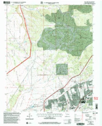
20 topographic sheets cover this place, the earliest surveyed in 1892 and the latest in 2002. It stands in the Santa Fe census division. It lies in ZIP code area 87507. The Survey maps it on the Agua Fria quadrangle. 2,913 people lived here at the 2020 count. It stands 6,562 feet above sea level.
Population over time
2 figuresAgua Fria grew from 2,800 to 2,913 between 2010 and 2020. These are the recorded population figures Wikidata holds for this place, reached through the Geographic Names Information System number this page is keyed on rather than by name, so they belong to this place and not to another of the same name. Most are census counts, but not all are: an early figure may be a founding or settlement estimate, and an estimate published within five years of a census is left out. The change column is computed, and is left blank where more than 20 years separate a figure from the one before it, because a gap that long is not a change between two counts.
| Year | People | Change |
|---|---|---|
| 2010 | 2,800 | |
| 2020 | 2,913 | +113 (+4%) |
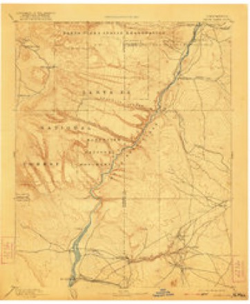
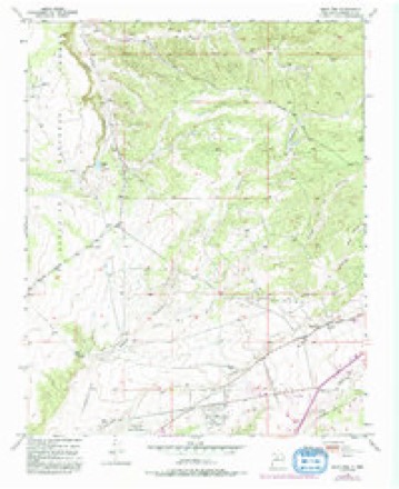
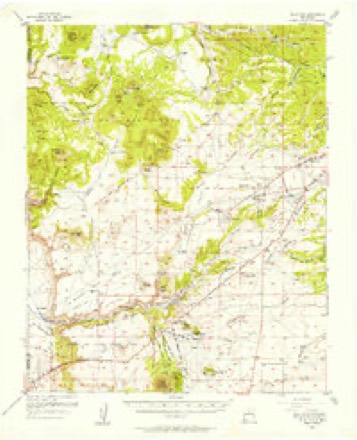
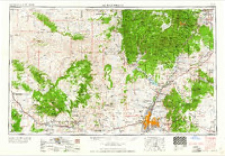
Topographic sheets covering this place
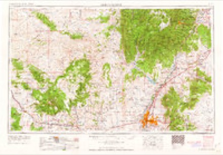
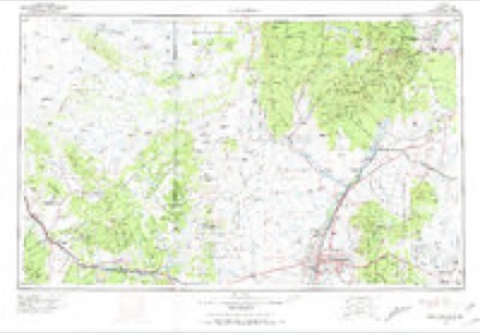
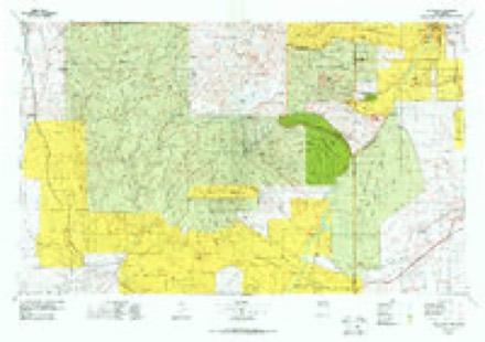
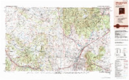
9 surveys from 20 printed sheetsMatched by testing this settlement's coordinate against the published boundary of every sheet in the United States Geological Survey's historical collection. Each opens the scanned sheet at the Survey.
- 1892 USGS Santa Clara quadrangle1:125000, 4 printings
- 1951 USGS Agua Fria quadrangle1:24000, 7 printings
- 1953 USGS Agua Fria quadrangle1:62500
- 1958 USGS Albuquerque quadrangle1:250000
- 1962 USGS Albuquerque quadrangle1:250000
- 1963 USGS Albuquerque quadrangle1:250000, 3 printings
- 1978 USGS Los Alamos quadrangle1:100000
- 1983 USGS Albuquerque quadrangle1:250000
- 2002 USGS Agua Fria quadrangle1:24000
Fires near this place
96 since 1994Regional context, not property-specific evidence. The federal wildfire occurrence database lists 96 fires within 5 miles of Agua Fria between 1994 and 2020, burning about 103 acres in total. 2 started naturally. 3 were recorded as arson. Distance is straight-line from the map coordinates, so a fire counted here may appear on a neighbouring settlement's page as well.
| Reported cause | Fires |
|---|---|
| Missing data/not specified/undetermined | 63 |
| Equipment and vehicle use | 7 |
| Smoking | 7 |
| Fireworks | 4 |
| Debris and open burning | 4 |
| Arson/incendiarism | 3 |
| Misuse of fire by a minor | 3 |
| Recreation and ceremony | 2 |
| Natural | 2 |
| Power generation/transmission/distribution | 1 |
The most recent of them, most recent first, with the day each was reported and the service that recorded it.
| Date | Cause | Size | Reported by | Name on the report |
|---|---|---|---|---|
| 14 September 2003 | Smoking | under an acre | New Mexico State Forestry Division | STACEY |
| 1 September 2007 | Missing data/not specified/undetermined | under an acre | New Mexico State Forestry Division | not named |
| 5 August 2003 | Natural | under an acre | New Mexico State Forestry Division | LA TIERRA |
| 18 August 1994 | Missing data/not specified/undetermined | under an acre | New Mexico State Forestry Division | DENNIS |
| 11 August 2005 | Missing data/not specified/undetermined | under an acre | New Mexico State Forestry Division | JUSTIN |
| 1 August 2020 | Equipment and vehicle use | under an acre | Bernalillo District | 21-60450166X |
| 9 July 2004 | Missing data/not specified/undetermined | under an acre | New Mexico State Forestry Division | MARGO |
| 9 July 2004 | Debris and open burning | under an acre | New Mexico State Forestry Division | HOUND |
Settlements close enough to share some of these fires:
Mines and quarries near this place
8 within 5 milesRegional context, not property-specific evidence. The federal mineral resources record lists 8 workings within 5 miles of Agua Fria: 5 unknowns, 3 producers. 3 still produce. What was taken out: Sand and Gravel, Construction, Pumice, Stone. Distance is straight-line from the map coordinates, so a quarry counted here may appear on a neighbouring settlement's page as well.
| Where | Site | Commodity | Status | Recorded |
|---|---|---|---|---|
| Leeder Pit | Stone | Producer | ||
| Unnamed Pumice Mine | Pumice | Unknown | ||
| Unnamed Pumice Mine | Pumice | Unknown | ||
| Blotter Construction Co. Pit | Sand and Gravel, Construction | Producer | Sedimentary | |
| Materials Pit | Sand and Gravel, Construction | Unknown | ||
| Materials Pit | Sand and Gravel, Construction | Unknown | ||
| Materials Pit | Sand and Gravel, Construction | Unknown | ||
| Santa Fe Pit | Sand and Gravel, Construction | Producer | Sedimentary |
Storms near this place
23 since 2009Regional context, not property-specific evidence. The National Weather Service names Agua Fria in 23 storm reports between 2009 and 2025: 11 hail, 8 flash flood, 2 tornado, 1 lightning. The reports record 2 deaths. Each account below is quoted exactly as the forecast office filed it, from the NOAA Storm Events Database, and each date opens the federal record of that event.
| When | Event | Place named | Harm | What the report says |
|---|---|---|---|---|
| June 2022 | Flash Flood | Agua Fria | 1 killed | Heavy rain in the Santa Fe area caused the arroyos to fill up, and unfortunately, one man was found dead in the arroyo near Cerrillos and Rodeo. According to the Santa Fe emergency manager, the flooding within the arroyo was thought to be a contributing factor to the individual's death. However, the man also sustained blunt force trauma to the head and was also intoxicated, and these factors also contributed to his death. His age is unknown. |
| July 2013 | Flash Flood | Agua Fria | 1 killed | The body of an adult female was recovered from an arroyo on the south side of Santa Fe during the late evening hours. Additionally, one to two feet of water was reported on some roads on the south side of Santa Fe. Rainfall reports ranged from 0.50-1.41. Dry arroyos and streams in the area ran deep and fast well into the evening as a result of runoff from the storm. Arroyos were reported to be filled with about 8 feet of fast-moving water at the peak of the flooding. |
| May 2017 | Hail | Agua Fria | $100,000 | Many residents of Santa Fe awaken by a severe storm with heavy rain and hail to the size of quarters or larger. Damage occurred to vehicles, roofs, skylights, and trees were stripped of leaves. Damages are estimated. |
| July 2025 | Flash Flood | Agua Fria | $25,000 | Deputy City Manager reported a collapsed sidewalk at the intersection of Corte de Princesa and Camino Consuela along the Arroyo de los Pinos in Sante Fe. Damage is an estimate. |
| July 2021 | Flash Flood | Agua Fria | $8,000 | Multiple sources reported flooding around Eldorado as an intense thunderstorm produced rain rates of about 4 to 5 inches per hour. A CoCoRaHS observer in Eldorado reported 2.03 inches of rain with 1.1 inches of that falling in just 45 minutes. The heavy rainfall flooded arroyos around Eldorado. A couple residents also reported that their yards had been flooded while another resident reported that the flood waters entered their garage. Damages are estimated for the flooded garage. |
| June 2021 | Thunderstorm Wind | Agua Fria | $5,000 | Severe winds from a thunderstorm moving southward near Santa Fe resulted in minor house damage at one residence. A trained spotter southwest of Santa Fe reported that one inch tree limbs were broken and shingles were stripped from their roof. Damages are estimated for the broken tree limbs and damaged shingles. |
| July 2010 | Flash Flood | Agua Fria | $5,000 | A couple driving home from dinner was caught in the swollen Santa Fe River at San Ysidro Crossing. The couple attempted to drive through the flooded roadway, when the river surged and a tree came down changing the flow of the river. Santa Fe fire department successfully rescued the couple who only sustained minor injuries. At the time of the rescue, the water was up to the car windows. After the rescue, the car floated and flipped over San Ysidro Falls, where later it was found to be totaled. |
| July 2009 | Flash Flood | Agua Fria | $2,000 | no account filed |
| July 2015 | Flash Flood | Agua Fria | $1,000 | Significant flooding with estimated 6 inches of flowing water at the corner of Cerrillos and Richards. Gravel washed across the road at the corner of West Alameda and Siler. Landscaping material washed out. |
| July 2010 | Flash Flood | Agua Fria | $500 | Cerrillos Rd. between St. Michael's Dr. and Camino Carlos Rey was flooded and impassable. |
| May 2021 | Hail | Agua Fria | - | A trained spotter estimated penny size hail from a strong thunderstorm near Agua Fria. |
| May 2021 | Hail | Agua Fria | - | Various sources reported nickel to quarter size hail from a severe thunderstorm near Agua Fria. |
| May 2021 | Hail | Agua Fria | - | One inch hail was reported from a severe thunderstorm southwest of Santa Fe. |
| May 2017 | Hail | Agua Fria | - | Hail up to the size of pennies on the southwest side of Santa Fe. |
| May 2017 | Tornado (EF0) | Agua Fria | - | A severe thunderstorm crossed Interstate 25 east of the Santa Fe airport then moved north along NM-599. This storm produced a brief EF-0 tornado 2.8 miles northeast of the Santa Fe airport, near NM-599 and Agua Fria, then tracked toward the north for approximately 0.3 miles. Mainly localized and minor damage was observed with this tornado event. The Santa Fe Airport tower personnel also spotted a funnel cloud north of the airport. |
| August 2016 | Lightning | Agua Fria | - | A lightning strike in Albuquerque at the Ladera and Unser transfer station resulted in a massive power outage across central New Mexico leaving roughly 135,000 customers without power. During this outage, a motorcyclist that was stopped at a dark traffic light in Santa Fe was rear-ended by another vehicle and killed. |
| July 2014 | Hail | Agua Fria | - | Quarters hail. |
| June 2014 | Hail | Agua Fria | - | Hail covered the ground. |
| October 2012 | Hail | Agua Fria | - | Hail up to four inches deep was piled up for an unusually long time. The ground was completely covered, and eyewitnesses reported that it looked as thought it had snowed. |
| July 2012 | Tornado (EF0) | Agua Fria | - | A 4-minute landspout tornado was observed in southwest Santa Fe at 2157z. The thunderstorm was located farther west at the time. No damage was reported though there were some pieces of paper observed in the debris surrounding the landspout. |
| July 2015 | Hail | Agua Fria | - | no account filed |
| July 2015 | Hail | Agua Fria | - | no account filed |
| June 2014 | Hail | Agua Fria | - | no account filed |
Nearest settlements
The eight closest, with where each one stands in the county. Distances are straight-line, computed from the Geographic Names Information System coordinates.
| Map | Place | Distance | Sheets |
|---|---|---|---|
| Tres Arroyos | 1.2 miles | 20 | |
| Las Campanas | 3.7 miles | 20 | |
| Analco (historical) | 4.6 miles | 23 | |
| Santa Fe | 5.0 miles | 23 | |
| Valle Vista | 5.3 miles | 17 | |
| La Loma | 5.4 miles | 18 | |
| La Tierra | 5.6 miles | 20 | |
| Seton Village | 6.1 miles | 18 |
Elsewhere
Matched on this settlement's Geographic Names Information System number rather than its name, so it cannot be a different place of the same name in another state.
| Wikipedia article on Agua Fria | An encyclopaedic summary. Its text is share-alike, so it is linked here rather than copied. |
| Wikidata item Q2223600 | The structured record the population and elevation above come from. Public domain (CC0). |
Provenance
This settlement is recorded in the Geographic Names Information System as feature 918018. The sheet list is computed by point-in-boundary test against the United States Geological Survey's historical topographic inventory. Both are works of the United States government and carry no copyright under 17 U.S.C. 105.
Wildfire. Short, Karen C. 2022. Spatial wildfire occurrence data for the United States, 1992-2020 [FPA_FOD_20221014]. 6th Edition. Fort Collins, CO: Forest Service Research Data Archive. https://doi.org/10.2737/RDS-2013-0009.6 Collected with United States Government funding and usable without additional permissions or fees.
Mines and quarries. USGS Mineral Resources Data System (MRDS) https://mrdata.usgs.gov/mrds/ A work of the United States government, no copyright under 17 U.S.C. 105.
Storms. NOAA National Centers for Environmental Information, Storm Events Database https://www.ncei.noaa.gov/stormevents/ A work of the United States government, no copyright under 17 U.S.C. 105. Narratives are quoted verbatim from the National Weather Service report and are not edited or summarised.