BlockBefore

Santa Fe County, New Mexico

162 topographic sheets and 14 fire insurance atlases across 2 places.

Research this county

From the record

79 National Register listings published here, 6 of them National Historic Landmarks · the county-history sources tell 1 story.

Sources: the county history on the Internet Archive · the National Register database, National Park Service

New Mexico within the United States
Santa Fe County within New Mexico
Explore by year 1852 1916

What the record shows

  • 2 places in this county were surveyed for fire insurance: Santa Fe, Cerrillos, between 1883 and 1948.
  • 14 fire insurance atlases survive for the county. Topographic coverage is national; fire insurance survey reached only incorporated places with something worth insuring.
  • 1,315 topographic sheet readings cover the county's settlements.
  • 79 properties here are on the National Register of Historic Places: 48 buildings, 19 districts, 7 structures, 4 sites and 1 object.
  • 26 of the 79 listings were added during the 1970s.
  • The Geographic Names Information System records 73 populated places in this county; 73 are covered by at least one topographic sheet.

What happened here

1 accounts

Among them: San Miguel'S Church At Santa Fe. These passages come from the identified county-history source books. Each inset names its own source and opens the exact section it comes from.

From Santa Fé County: The Heart of New Mexico, Rich in History and Resources, published 1906 - Santa Fe

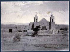
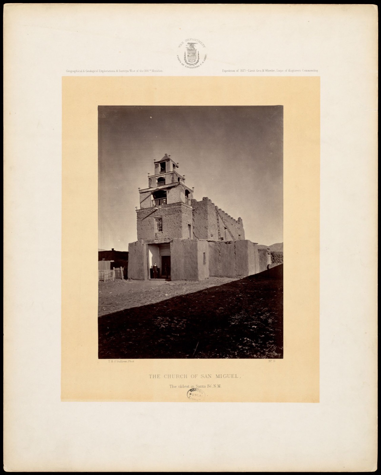
San Miguel'S Church At Santa Fe

miles southwest of the Plaza on the Agua Fria Koad. It is now very appropriately marked by a neat stone monument erected by the Daughters of the American Eevolutiom in 1901. It was here that the Governor, in the Revolution of 1837, while retreating from the Capital, was killed by an arrow shot by a Pueblo Indian from Santo Domingo.

Read the rest of this passage

Photographs

48 photographs, 1938 to 2021

Taken for the Office of War Information and the Farm Security Administration, who photographed the country between 1935 and 1944. Works of United States government photographers, with no known restriction on use. Each opens its catalogue record.

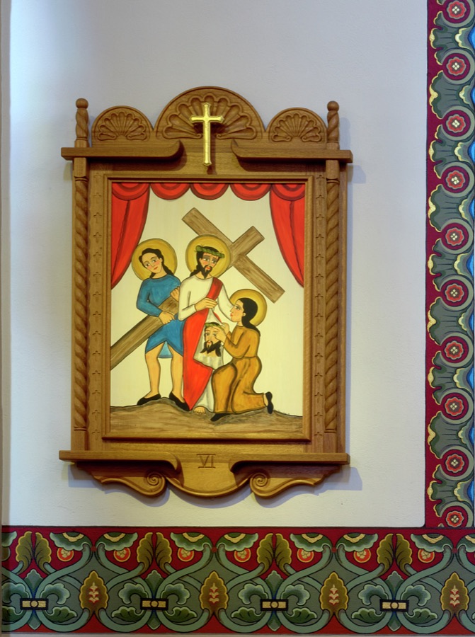
The Station of the Cross at the Cathedral Basilica of St. Francis of Assisi in Santa Fe, New Mexico, in which Veronica wipes the face of Jesus
Highsmith, Carol M, 2020. Library of Congress
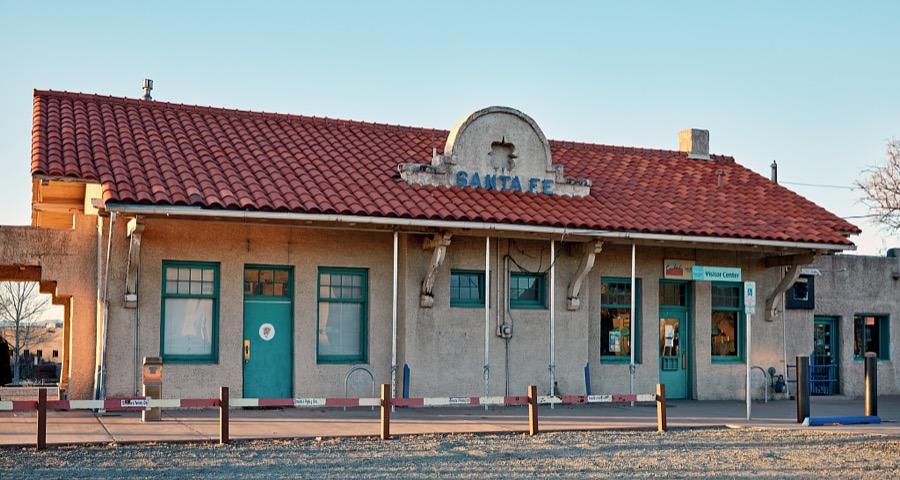
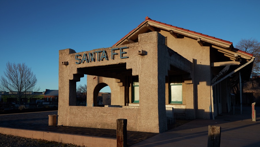
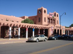
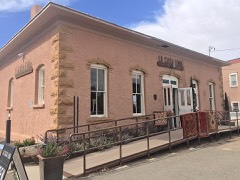
The old Santa Fe Railroad station in Santa Fe, the capital city of the southwest U.S. state of New Mexico, is now (as of 2021) the city's tourism office
Highsmith, Carol M, 2020. Library of Congress
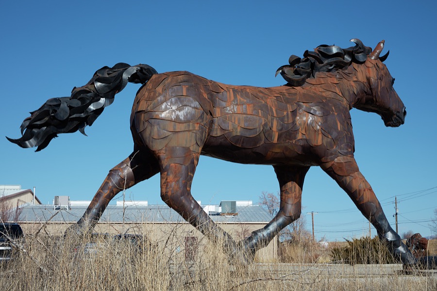
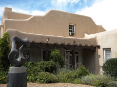
Artist Don Kennell's metal-art sculpture, to which he refers as, simply, "Mustang," stands outside the La Puerta Originals store in the New Mexico capital city of Santa Fe
Highsmith, Carol M, 2021. Library of Congress
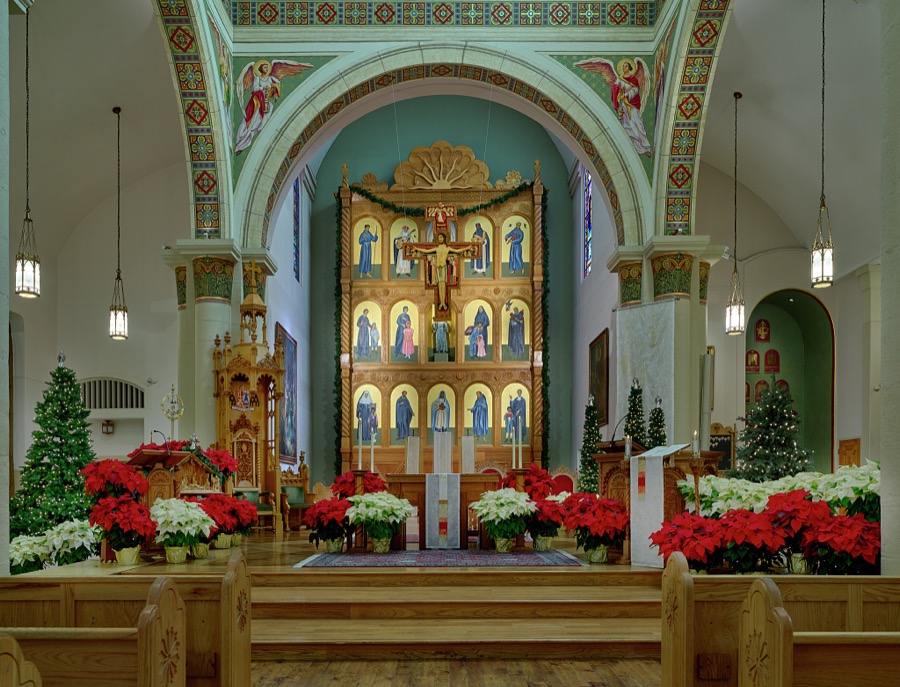
When one faces the front of the sanctuary at the Cathedral Basilica of St. Francis of Assisi in Santa Fe, New Mexico, eyes are drawn to the Lamb of God, angels in proclamation, and a replica of the San Damiano Cross, a large Romanesque rood cross that hung in an abandoned chapel near Assisi in Italy, suspended above the altar
Highsmith, Carol M, 2020. Library of Congress
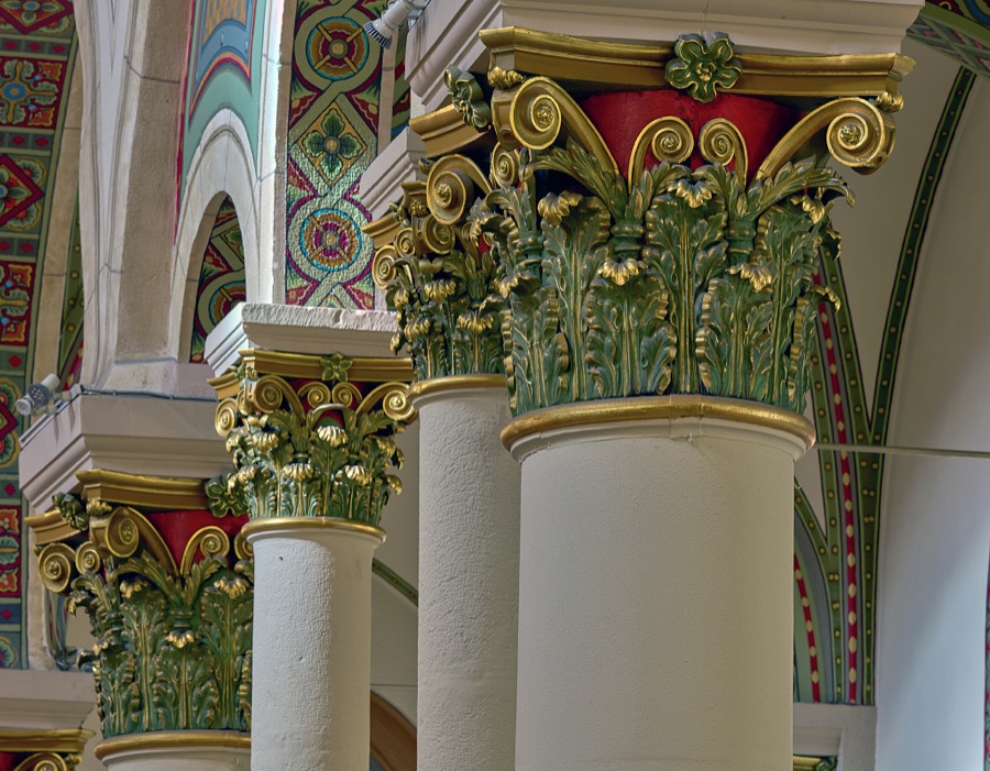
Column capitals at the Cathedral Basilica of St. Francis of Assisi in Santa Fe, New Mexico
Highsmith, Carol M, 2020. Library of Congress
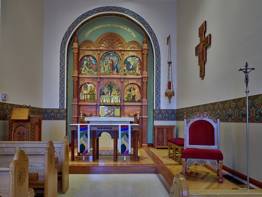
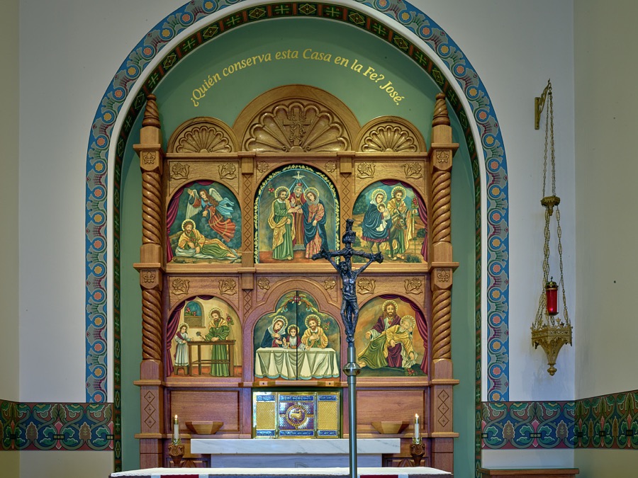
The altar screen is the focus of the Blessed Sacrament Chapel (El Sagrario), sometimes referred to as the Chapel of Saint Joseph, which stands within at the Cathedral Basilica of St. Francis of Assisi in Santa Fe, New Mexico
Highsmith, Carol M, 2020. Library of Congress
The old Santa Fe Railroad station in Santa Fe, the capital city of the southwest U.S. state of New Mexico, is now (as of 2021) the city's tourism office
Highsmith, Carol M, 2020. Library of Congress
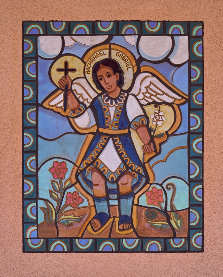
Mosaic on an outer wall of the Santa Maria de la Paz Catholic Community "worship space" in a neighborhood adjacent to Santa Fe Community College in Santa Fe, the capital city of the southwest U.S. state of New Mexico
Highsmith, Carol M, 2020. Library of Congress
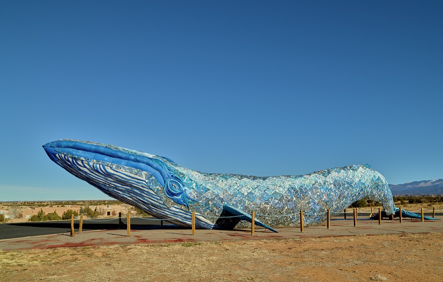
This is Ethyl, the 82-foot-long blue whale on the campus of Santa Fe Community College in Santa Fe, the capital city of the southwest U.S. state of New Mexico
Highsmith, Carol M, 2020. Library of Congress
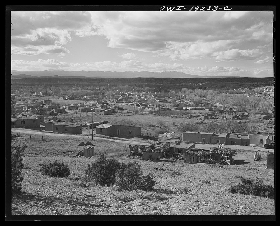
Santa Fe, New Mexico. Looking west over the city
Collier, John, Jr, 1943. Library of Congress
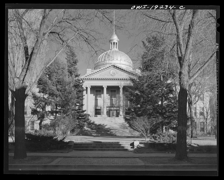
Santa Fe, New Mexico. New Mexico captiol building
Collier, John, Jr, 1943. Library of Congress
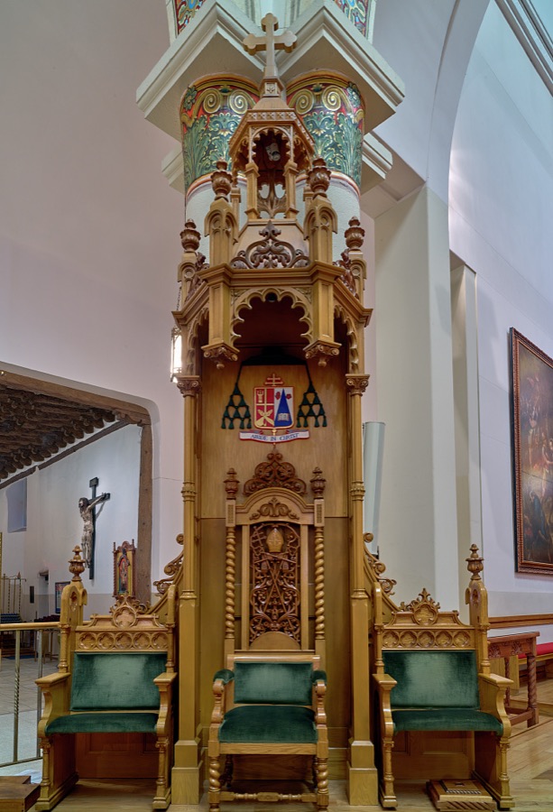
This is the bishop's presider's chair, once referred to as a throne, dating to 1894 at the Cathedral Basilica of St. Francis of Assisi in Santa Fe, New Mexico
Highsmith, Carol M, 2020. Library of Congress
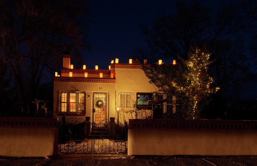
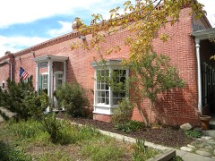
A Pueblo Adobe-style home in the Old Town district of Santa Fe, the capital city of the southwest U.S. state of New Mexico, photographed at dusk on Christmas Eve
Highsmith, Carol M, 2018. Library of Congress
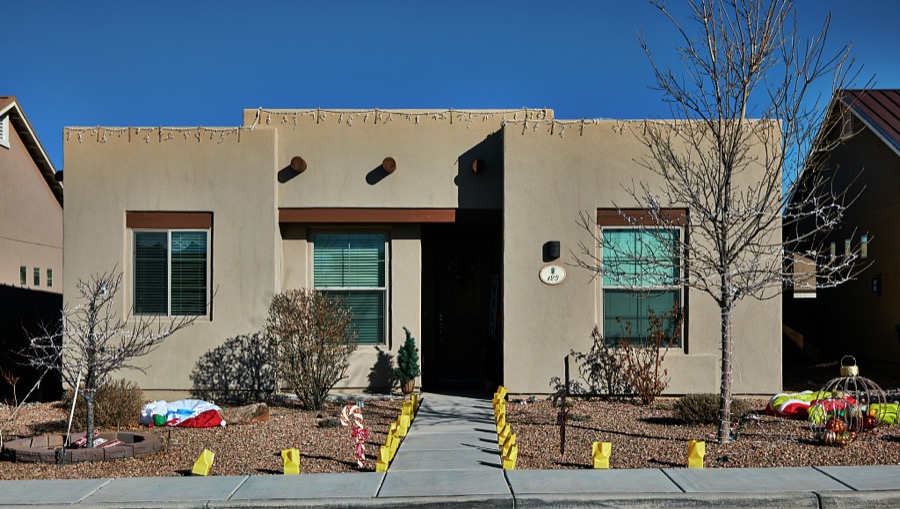
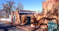
A home adjacent to Santa Fe Community College in Santa Fe, the capital city of the southwest U.S. state of New Mexico
Highsmith, Carol M, 2020. Library of Congress
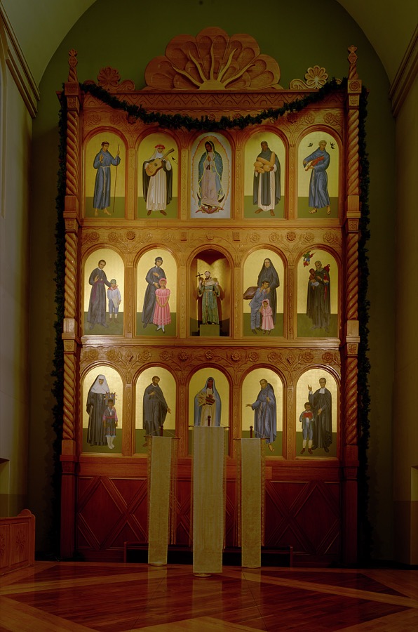
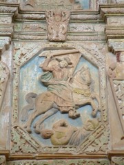
The altar screen, or reredos, was carved by Taos, New Mexico, woodcarvers Robert Lavadie and Paul Martinez and installed in 1986 at the Cathedral Basilica of St. Francis of Assisi in Santa Fe, New Mexico
Highsmith, Carol M, 2020. Library of Congress
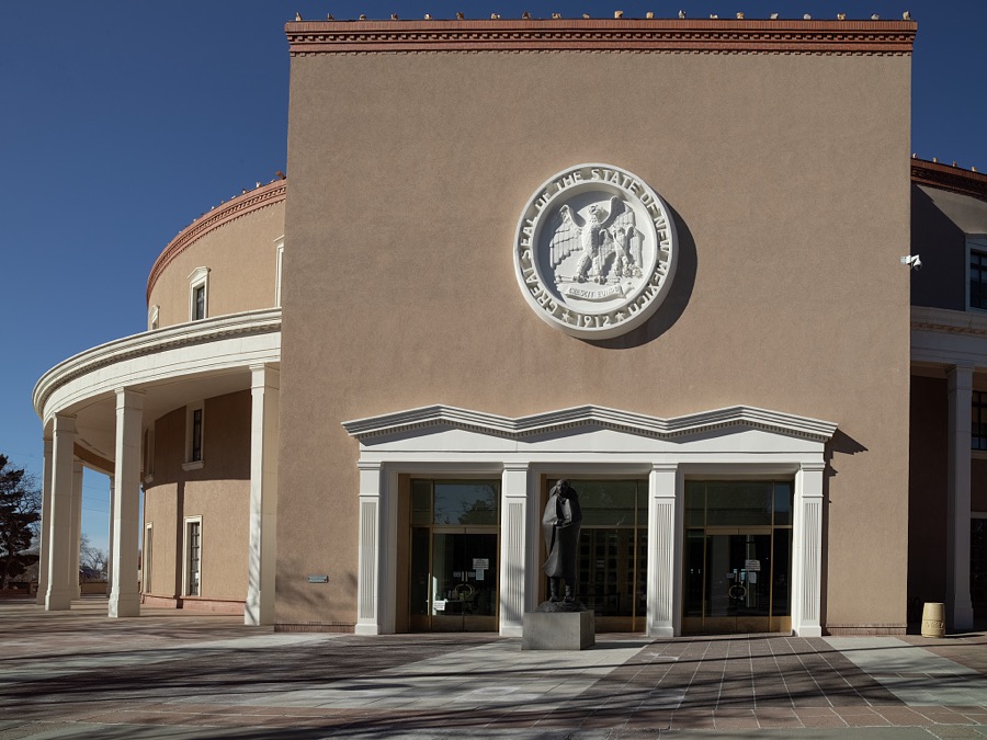
The unusual state capitol in Santa Fe, the capital city of the southwest U.S. state of New Mexico
Highsmith, Carol M, 2020. Library of Congress
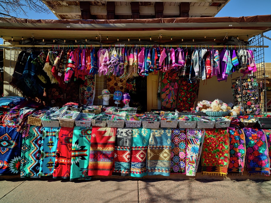
An array of colorful rugs and clothing items outside the Crazy Horse gift shop in Santa Fe, the capital city of the southwest U.S. state of New Mexico
Highsmith, Carol M, 2020. Library of Congress
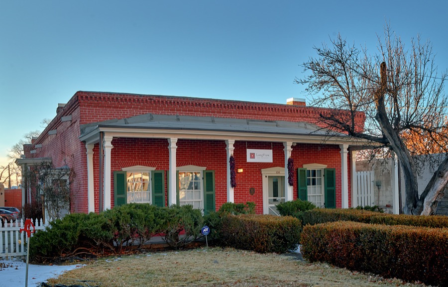
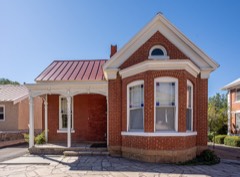
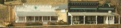
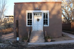
The historic Pinckney R. Tully House, now (as of 2021) a small office building, in Santa Fe, the capital city of the southwest U.S. state of New Mexico
Highsmith, Carol M, 2020. Library of Congress
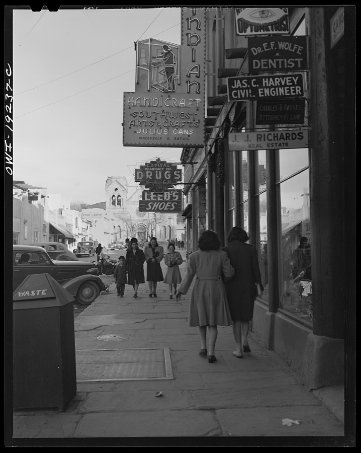
Santa Fe, New Mexico
Collier, John, Jr, 1943. Library of Congress
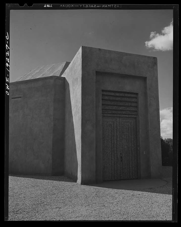
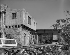
Sante Fe, New Mexico. Museum of Navajo Indian Medicine
Collier, John, Jr, 1943. Library of Congress
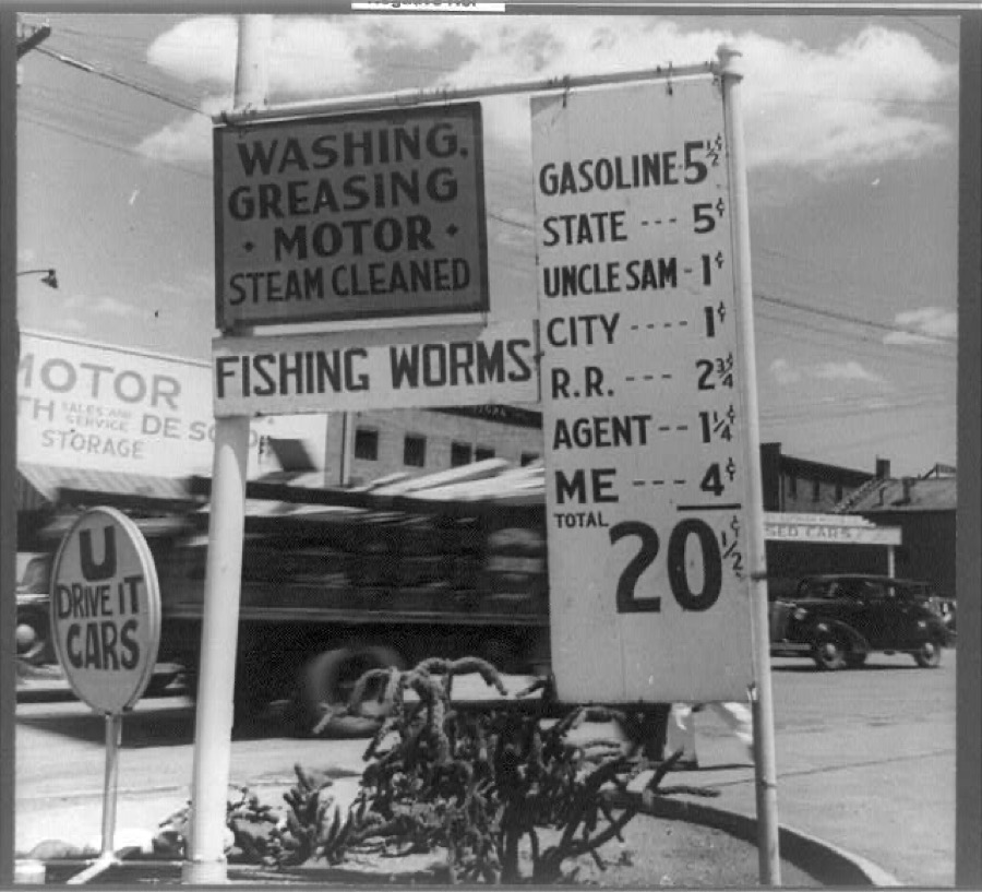
Santa Fe, New Mexico. Gas station price analysis
Lange, Dorothea, photographer, 1938. Library of Congress
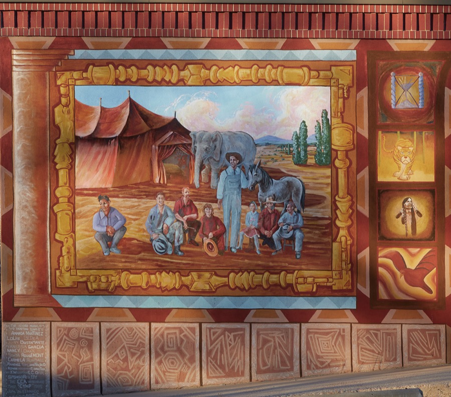
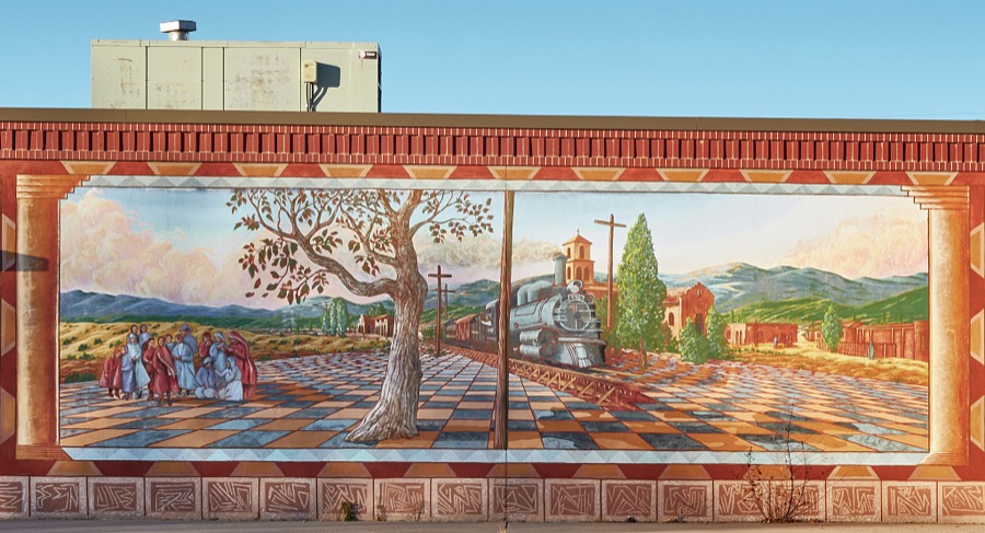
Historical mural on a wall of the Alvord Elementary School in the Railyard District of Santa Fe, the capital city of the southwest U.S. state of New Mexico
Highsmith, Carol M, 2020. Library of Congress
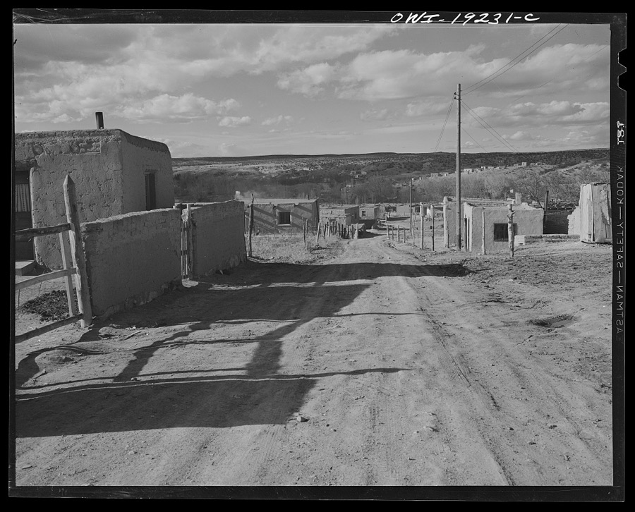
Santa Fe (vicinity), New Mexico
Collier, John, Jr, 1943. Library of Congress
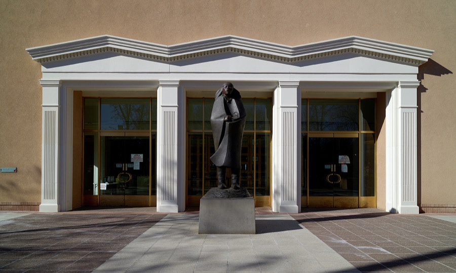
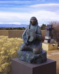
Artist Allan Houser's "Morning Prayer" sculpture stands in front of the New Mexico Capitol in Santa Fe, the capital city of the southwest U.S. state of New Mexico
Highsmith, Carol M, 2020. Library of Congress
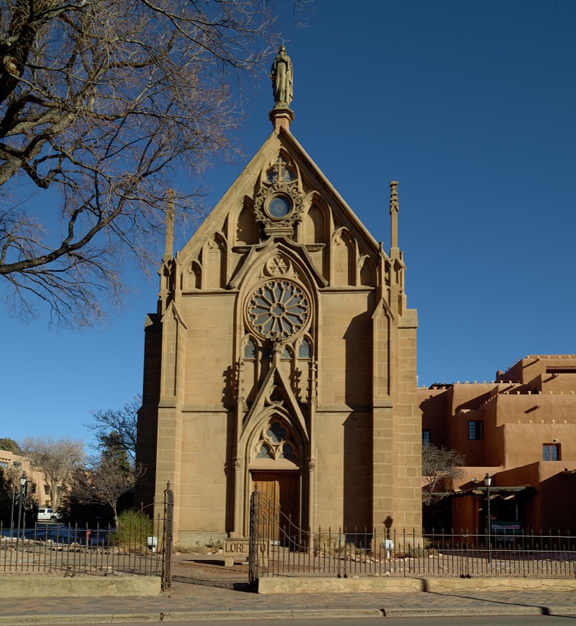
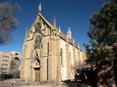
The Loretto Chapel, a former Catholic church that is now (as of 2021) a museum and wedding chapel in Santa Fe, the capital city of the southwest U.S. state of New Mexico
Highsmith, Carol M, 2020. Library of Congress
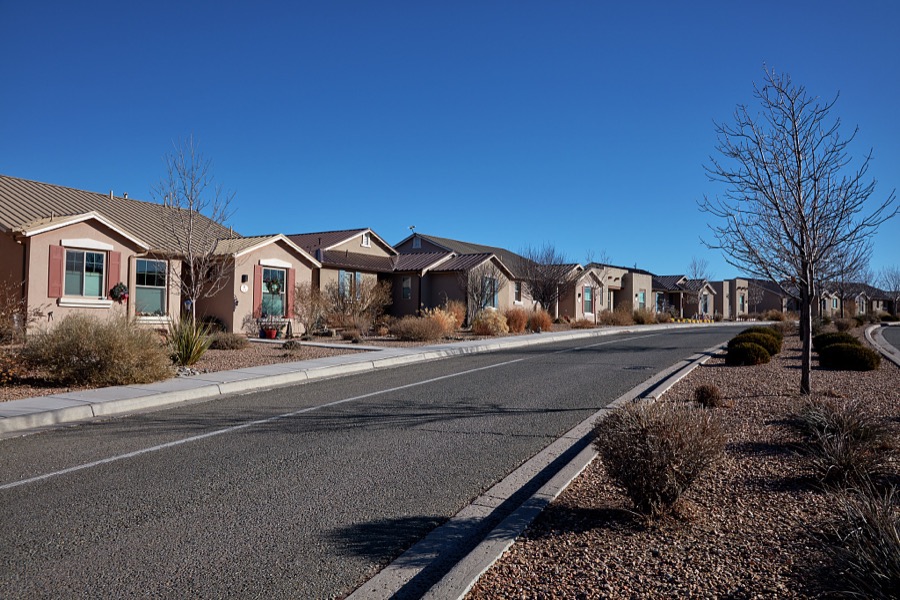
A low-rise housing development adjacent to Santa Fe Community College in Santa Fe, the capital city of the southwest U.S. state of New Mexico
Highsmith, Carol M, 2020. Library of Congress
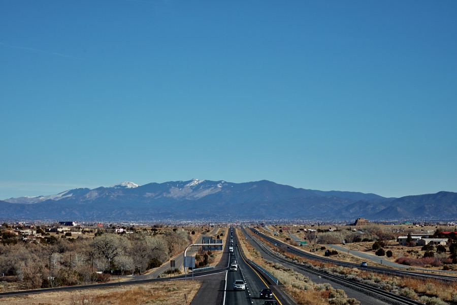
View of U.S. Interstate Highway 25 in the vast valley southwest of Santa Fe, New Mexico, near the settlement of Los Cerrillos
Highsmith, Carol M, 2021. Library of Congress
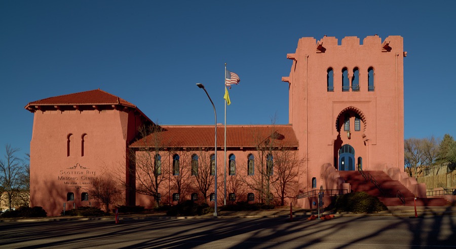
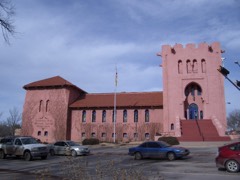
The Scottish Rite Masonic Center in Santa Fe, the capital city of the southwest U.S. state of New Mexico
Highsmith, Carol M, 2020. Library of Congress
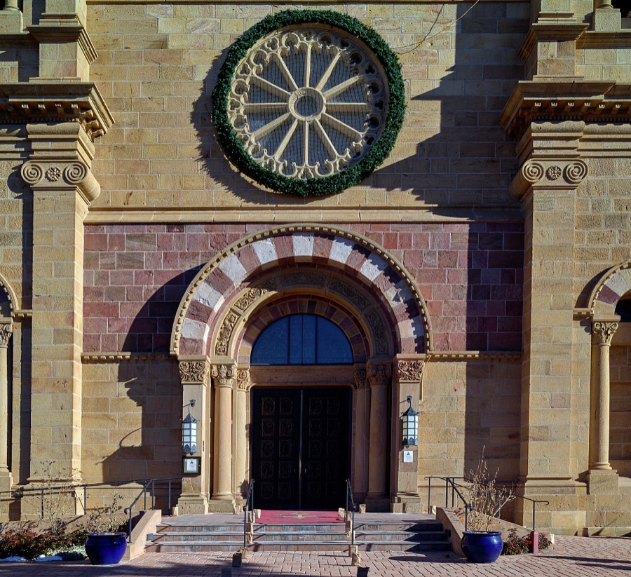
Entryway to the Cathedral Basilica of St. Francis of Assisi in Santa Fe, the capital city of New Mexico
Highsmith, Carol M, 2020. Library of Congress
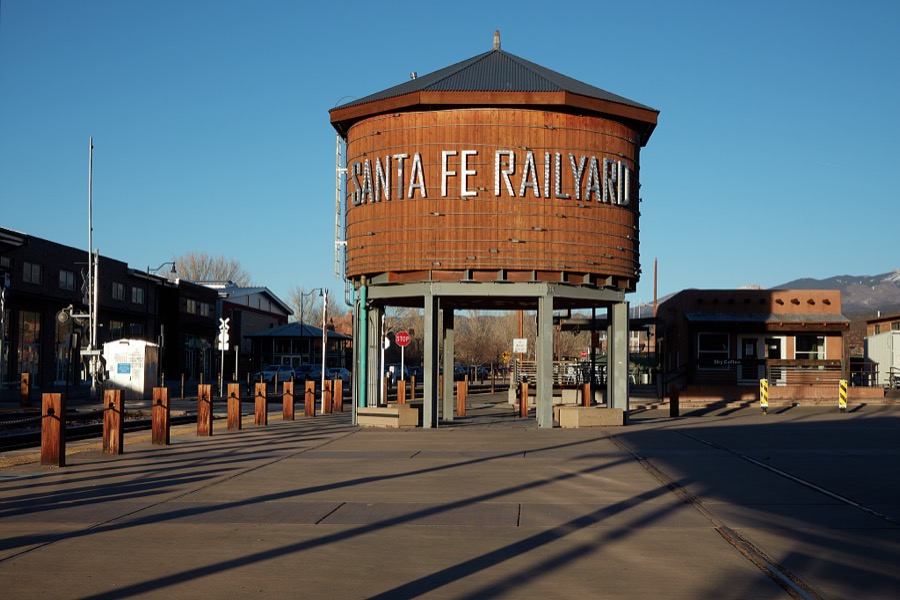
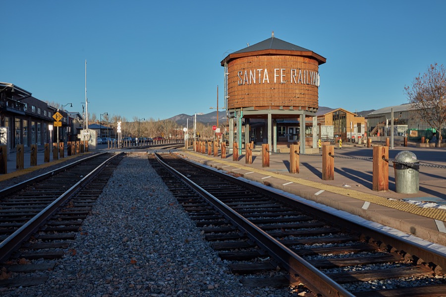
A large, refurbished old water tower that is often used as a graphic symbol of the Railyard District of Santa Fe, the capital city of the southwest U.S. state of New Mexico
Highsmith, Carol M, 2020. Library of Congress
The altar screen is the focus of the Blessed Sacrament Chapel (El Sagrario), sometimes referred to as the Chapel of Saint Joseph, which stands within at the Cathedral Basilica of St. Francis of Assisi in Santa Fe, New Mexico
Highsmith, Carol M, 2020. Library of Congress
A large, refurbished old water tower that is often used as a graphic symbol of the Railyard District of Santa Fe, the capital city of the southwest U.S. state of New Mexico
Highsmith, Carol M, 2020. Library of Congress
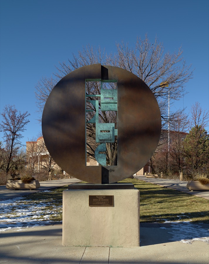
Dan Namingha's 1999 sculpture, "Passage," outside the capitol building in Santa Fe, the capital city of the southwest U.S. state of New Mexico
Highsmith, Carol M, 2020. Library of Congress
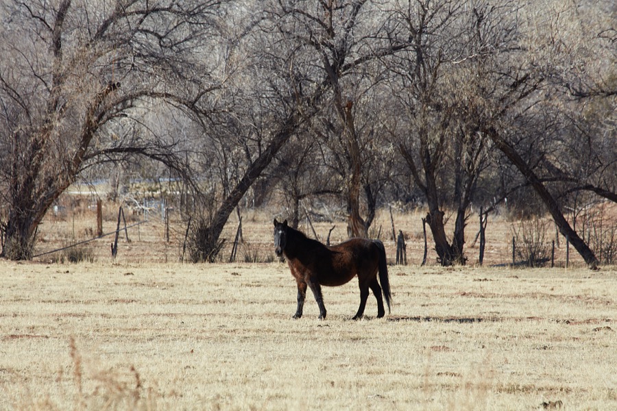
A handsome horse beside a wintertime copse of trees near La Cienega in a vast valley southwest of Santa Fe, New Mexico
Highsmith, Carol M, 2021. Library of Congress
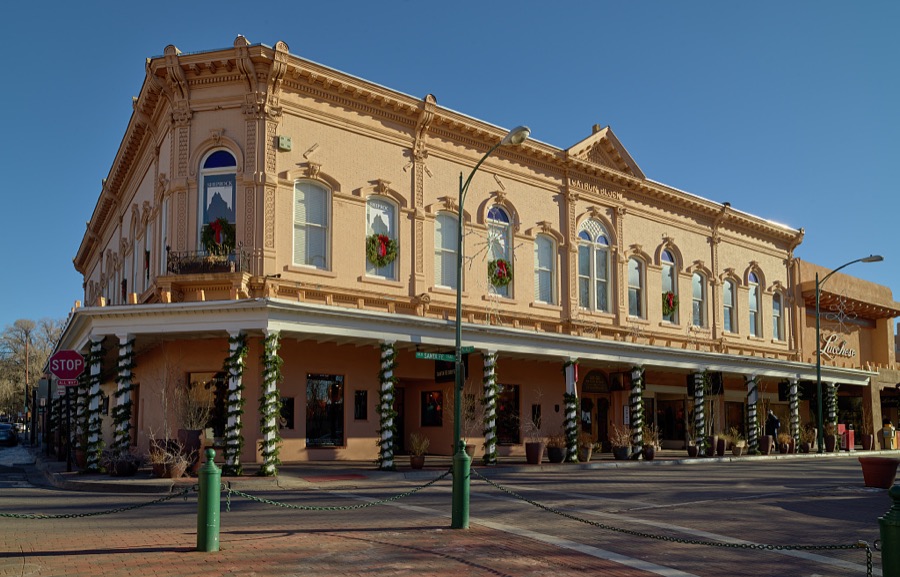
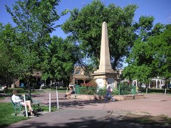
A corner of the central plaza of Santa Fe, the capital city of the southwest U.S. state of New Mexico
Highsmith, Carol M, 2020. Library of Congress
Historical mural on a wall of the Alvord Elementary School in the Railyard District of Santa Fe, the capital city of the southwest U.S. state of New Mexico
Highsmith, Carol M, 2020. Library of Congress
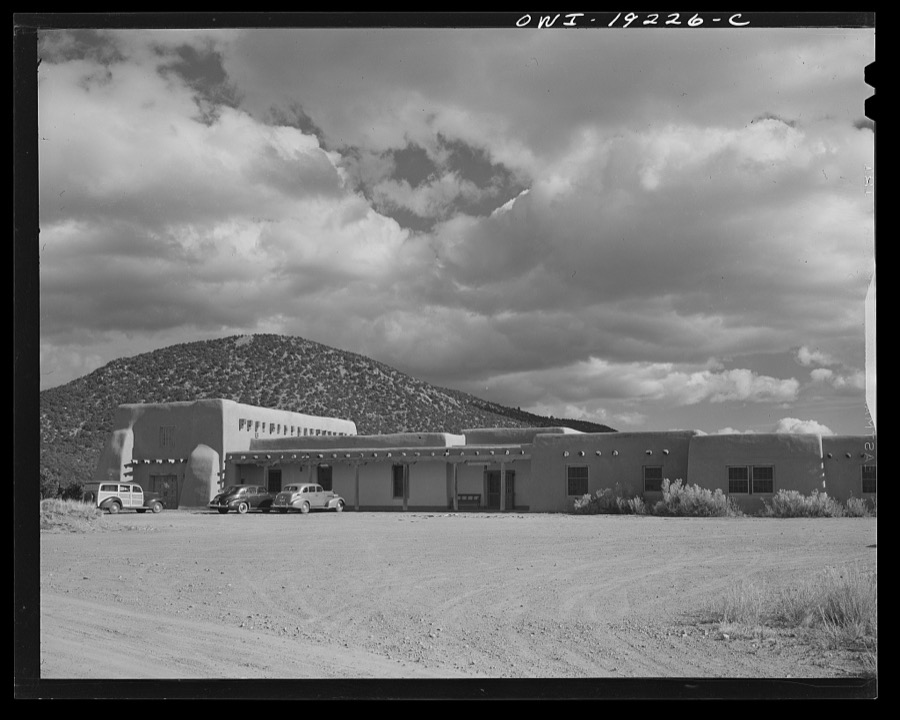
Santa Fe, New Mexico. Laboratory of Anthropology
Collier, John, Jr, 1943. Library of Congress
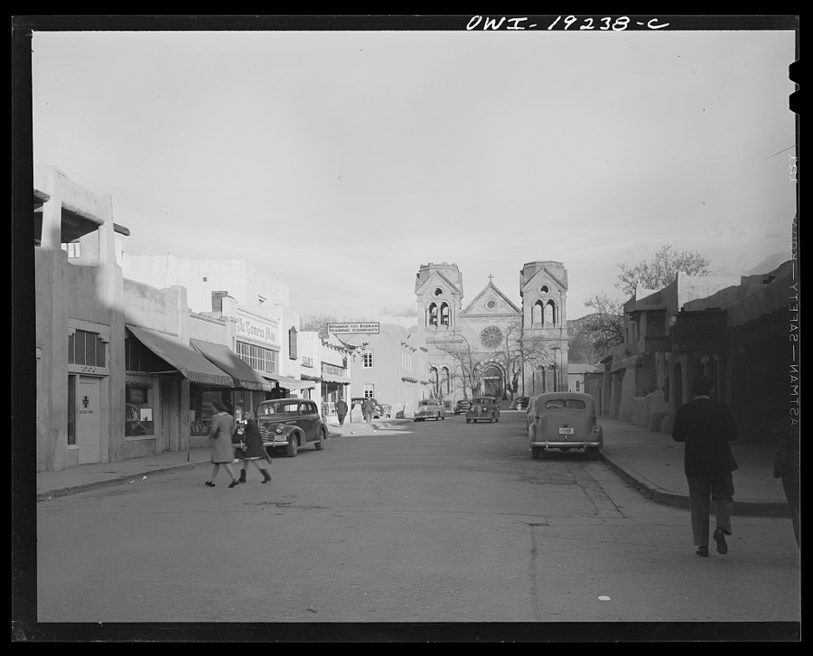
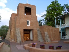
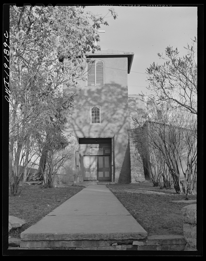
Santa Fe, New Mexico. One of the oldest churches in the United States
Collier, John, Jr, 1943. Library of Congress
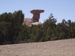
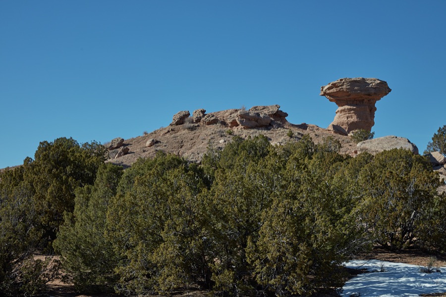
A pink-limestone formation near Tesuque Pueblo, New Mexico, near Santa Fe, that enough people believe looks like a resting camel that the formation is known as Camel Rock
Highsmith, Carol M, 2021. Library of Congress
Santa Fe, New Mexico
Collier, John, Jr, 1943. Library of Congress
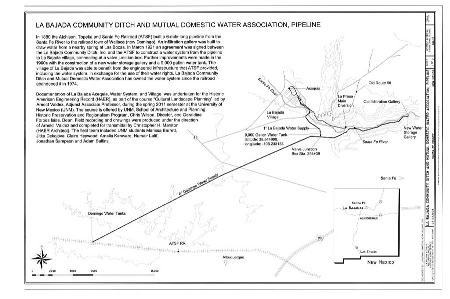
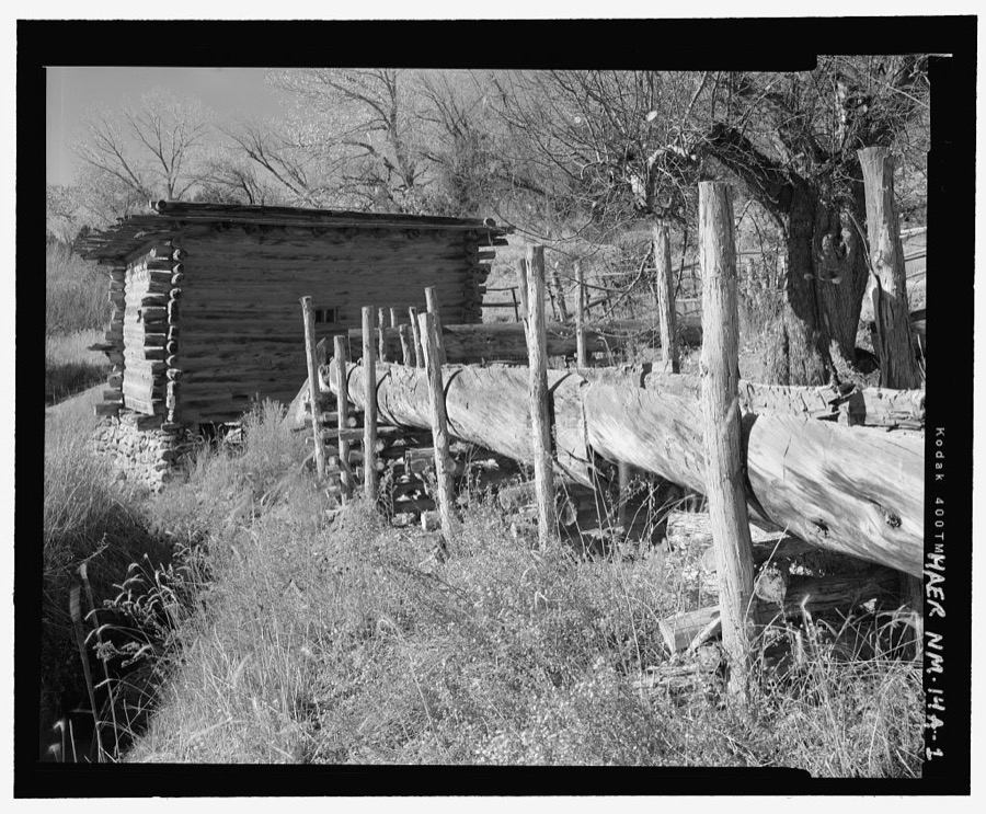
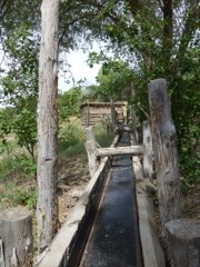
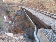
La Bajada Community Ditch and Mutual Domestic Water Association, Pipeline, La Bajada, Santa Fe County, NM
Photographer not recorded. Library of Congress
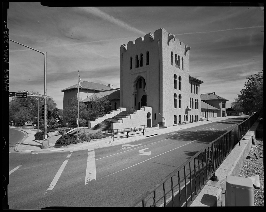
Scottish Rite Temple, 463 Paseo de Peralta, Santa Fe, Santa Fe County, NM
Photographer not recorded. Library of Congress
Bouquet Ranch House, Pojoaque, Santa Fe County, NM
Photographer not recorded. Library of Congress
La Cienega Acequia, Truchas Molino, 334 Los Pinos Road, Santa Fe, Santa Fe County, NM
Photographer not recorded. Library of Congress
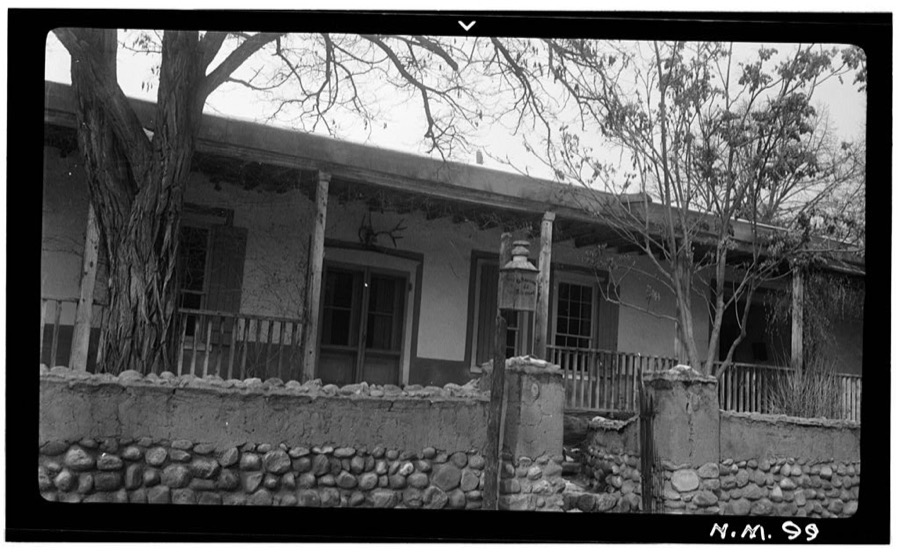
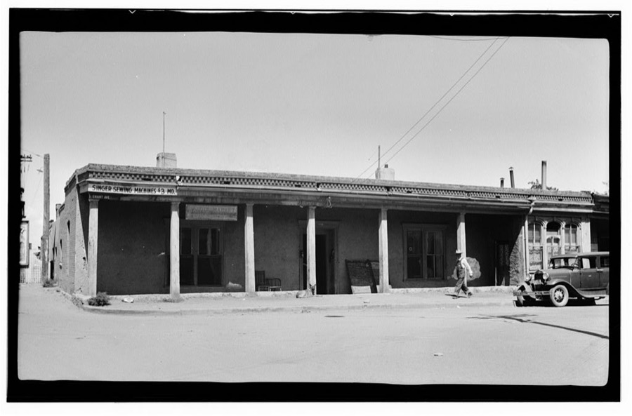
Mignardot House, Santa Fe, Santa Fe County, NM
Photographer not recorded. Library of Congress
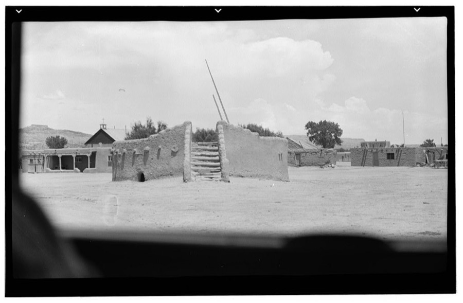
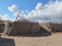
Kiva, San Ildefonso Pueblo, Santa Fe County, NM
Photographer not recorded. Library of Congress
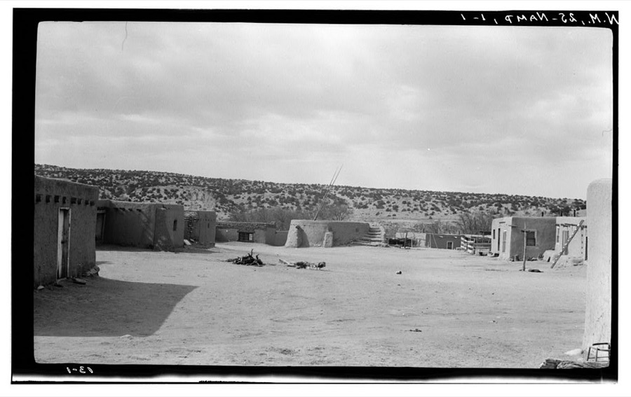
Kiva, Nambe Pueblo, Santa Fe County, NM
Photographer not recorded. Library of Congress
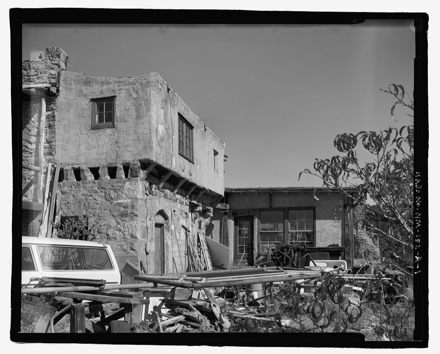
Indian Village, Ernest Thompson Seton House, Six miles southeast of Santa Fe, off U.S. Route 84-85, Seton Village, Santa Fe County, NM
Photographer not recorded. Library of Congress

Places on the National Register

79

Every property in this county listed on the National Register of Historic Places, with the year it was listed and the federal nomination document.

Photograph PropertyType ListedReference
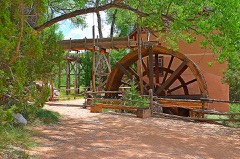
Acequia System of El Rancho de las Golondrinassite198080002572
Ricardo Alarid Housebuilding198484003054
Allison Dormitorybuilding198484000431
Apache Canyon Railroad Bridgestructure197979001553
Archbishop Lamy's Chapelbuilding198888000897
Barrio de Analco Historic Districtdistrict196868000032
Jane and Gustave Baumann House and Studiobuilding201212000875
Alfred M. Bergere Housebuilding197575001166
Camino del Monte Sol Historic Districtdistrict198888000440
Casita Desiderio y Pablita Ortegabuilding197272000810
Connor Hallbuilding198888001561
Gregorio Crespin Housebuilding197575001167
Randall Davey Housebuilding197070000409
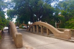
Delgado Street Bridgestructure201515000494
Digneo-Valdes Housebuilding197878001827
Dodge-Bailey Housebuilding200707000414
Don Gaspar Bridgestructure200202001163
Don Gaspar Historic Districtdistrict198383001629
El Puente de Los Hidalgosstructure200101000771
El Rancho de las Golondrinasdistrict2022100008430
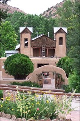
El Santuario de Chimayobuilding197070000412
El Zaguanbuilding200808000732
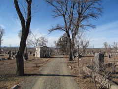
Fairview Cemeterydistrict200504001517
Federal Buildingbuilding197474001207
Fort Marcy Officer's Residencebuilding197575001168
Fort Marcy Ruinssite197575001169
Hayt-Wientge Housebuilding197777000929
Hospitalbuilding198888001562
Hyde Memorial State Parkdistrict2021100006766
Immaculate Heart of Mary Seminarydistrict2024100009668
J.B. Jackson Housebuilding199999000598
John Gaw Meem Architects Officebuilding2019100004030
Everret Jones Housebuilding200403001411
Daniel T. Kelly Housebuilding200505001182
La Armeria de Santa Febuilding201111000530
La Iglesia de Santa Cruz and Site of the Plaza of Santa Cruz de la Canadadistrict197373001148
Laboratory of Anthropologybuilding198383001630
Laboratory of Anthropology Director's Residencebuilding2023100009036
Las Acequiasdistrict200808000697
Lujan-Ortiz Housebuilding200099001680
Madrid Historic Districtdistrict197777000928
John Gaw and Faith Bemis Meem Housebuilding2017100000828
National Park Service Southwest Regional Officebuilding197070000067
New Mexico Supreme Court Buildingbuilding200201001468
New Mexico Territorial and State Capitolbuilding2025100011470
B. J. O. and Margaret Doolittle Nordfeldt Housebuilding2020100004822
Nuestra Senora de Luz Church and Cemeterybuilding199595001452
Otowi Historic Districtdistrict197575001170
Otowi Suspension Bridgestructure199797000730
Palace of the Governorsbuilding196666000489
Pflueger General Merchandise Store and Annex Saloonbuilding198787000519
Pond-Kelly Housebuilding2018100003031
Pueblo of Nambedistrict197474001208
Pueblo of Tesuquedistrict197373001149
Reredos of Our Lady of Lightobject197070000411
Route 66 and National Old Trails Road Historic Distric at La Bajadadistrict200505000633
Ignacio Roybal Housebuilding198686000227
San Ildefonso Pueblodistrict197474001206
San Jose Hallbuilding201515000264
Santa Fe Historic Districtdistrict197373001150
Santa Fe National Cemeterydistrict201616000588
Santa Fe Plazasite196666000491
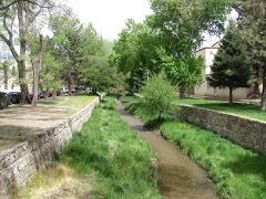
Santa Fe River Park Channelstructure200808001181
Santa Fe Trail-Apache Canyon Bridge Sitesite201212000912
Albert Schmidt House and Studiobuilding200303000691
School Building Number 2building198888001560
Scottish Rite Cathedralbuilding198787000424
Second Ward Schoolbuilding197878001828
Seton Villagedistrict196666000492
Spiegelberg Housebuilding197373001151
St. John's College-Santa Fe, New Mexicodistrict201515000495
Superintendent's Residencebuilding198888001563
Pinckney R. Tully Housebuilding197474001209
U.S. Courthousebuilding197373001152
U.S. Post Office and Federal Buildingbuilding2022100008474
Carlos Vierra Housebuilding197979001554
Donaciano Vigil Housebuilding197272000811
Wheelwright Museum of the American Indianbuilding199090001917

Digitised newspapers

25 issues

Sampled issues, machine-read from the Library of Congress scan and published page by page, so every headline and column is searchable text.

Santa Fe New Mexican

Santa Fe, N.M., 1898 to 1951. Machine-read from the Library of Congress scan.

Santa Fe Daily New Mexican

Santa Fe, N.M., 1885 to 1897. Machine-read from the Library of Congress scan.

The Santa Fe Weekly Gazette

Santa Fe, N.M.T. [i.e. N.M.], 1851 to 1854. Machine-read from the Library of Congress scan.

Santa Fe Weekly Gazette

Santa Fe, N.M., 1864 to 1869. Machine-read from the Library of Congress scan.

Santa Fe Weekly Gazette

Santa Fe, N.M., 185? to 1859. Machine-read from the Library of Congress scan.

Santa Fe Gazette

Santa Fe, N.M., 1859 to 1864. Machine-read from the Library of Congress scan.

The Rustler

Cerrillos, N.M., 1891 to 1???. Machine-read from the Library of Congress scan.

New Mexico State Record

Santa Fe, N.M., 1914 to 19??. Machine-read from the Library of Congress scan.

Bird's-eye views and land ownership maps

2

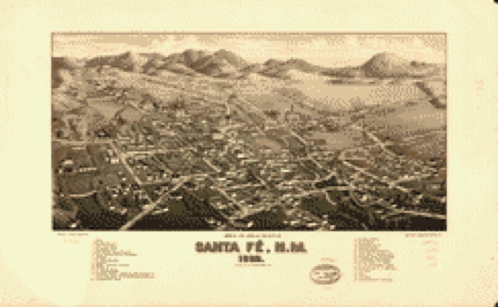
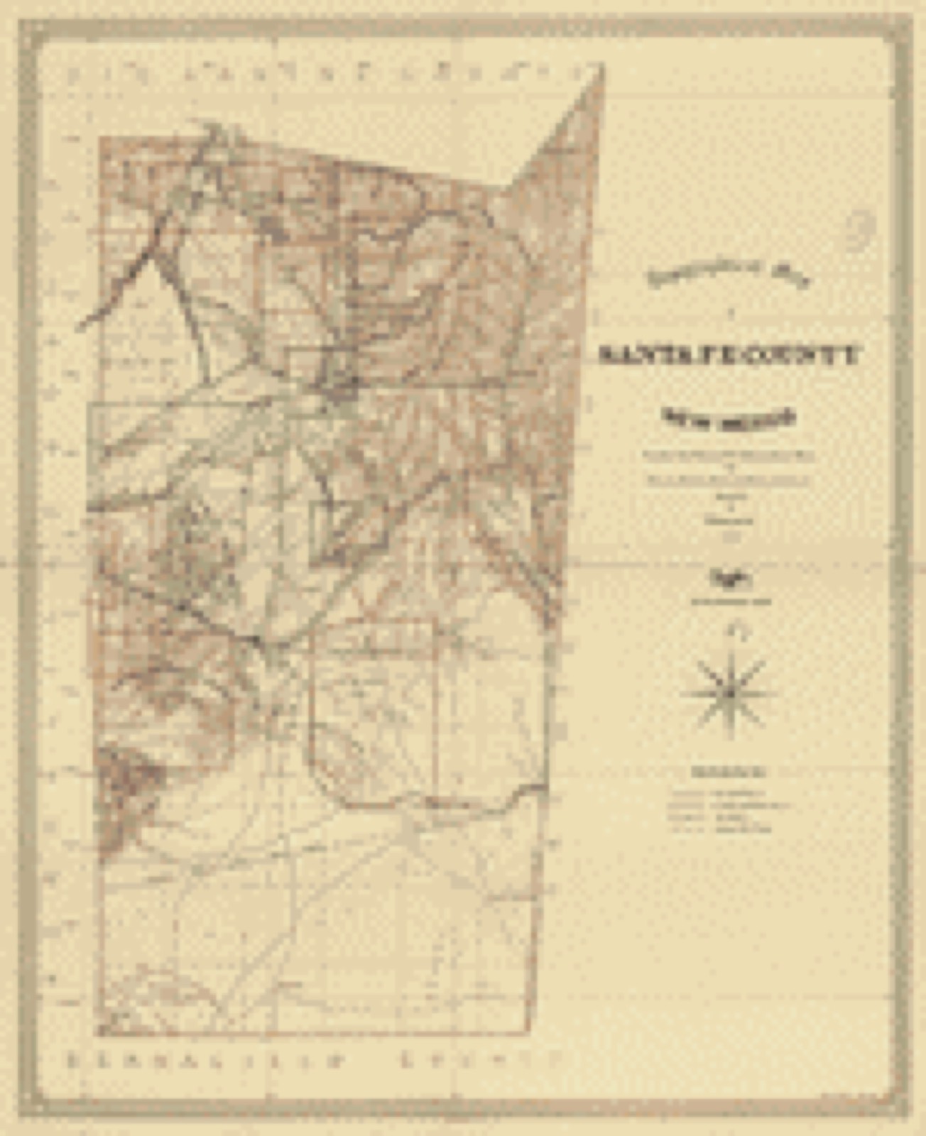
Drawn when these were printed as single large sheets: the town seen from the air, and the county divided into its farms with every owner named. Each opens the original at the Library of Congress.

Bird's-eye view, 1882 - Bird's eye view of the city of Santa Fé, N.M. 1882
Bird's-eye view (1882) - Bird's eye view of the city of Santa Fé, N.M. 1882. Library of Congress.
Land ownership map, 1883 - Topographical map of Santa Fe County, New Mexico
Land ownership map (1883) - Topographical map of Santa Fe County, New Mexico. Library of Congress.

Photographs from libraries nationwide

17 of 58 shown

Selected from the Digital Public Library of America's 58 image records catalogued for this county. Every one shown here carries a public-domain status or a licence that permits reuse on a site that carries advertising; non-commercial, share-alike and restricted images are excluded. The selection is spread across the county's towns (at most eight per town), so no single institution's bulk upload crowds out the rest. Each opens the holding library's record, and the complete set at the Digital Public Library of America is one click away.

The Church of San Miguel, the oldest in Santa Fe, N.M., Boston Public Library - undated
The Church of San Miguel, the oldest in Santa Fe, N.M.. O'Sullivan, Timothy H., 1840-1882, Boston Public Library, via the Digital Public Library of America.
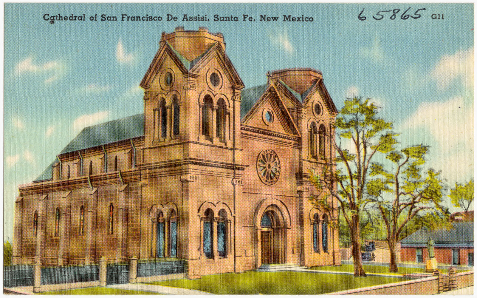
Cathedral of San Francisco de Assisi, Santa Fe, New Mexico, Boston Public Library - undated
Cathedral of San Francisco de Assisi, Santa Fe, New Mexico. Boston Public Library, via the Digital Public Library of America.
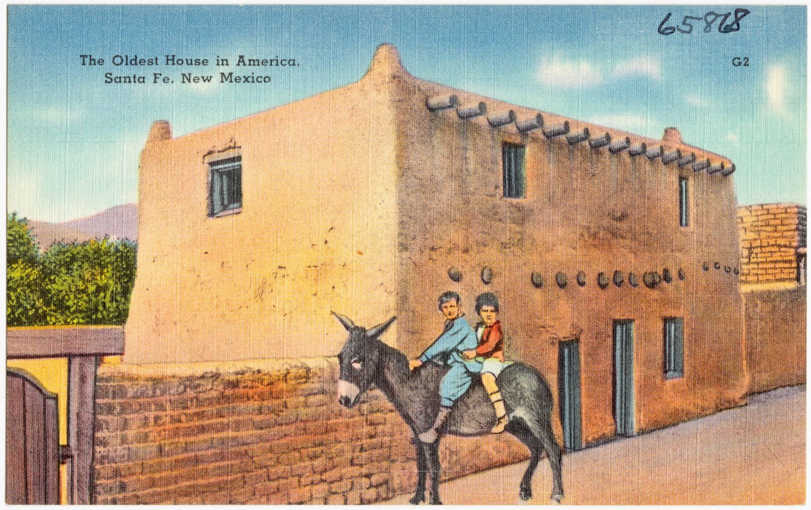
The oldest house in America, Santa Fe, New Mexico, Boston Public Library - undated
The oldest house in America, Santa Fe, New Mexico. Boston Public Library, via the Digital Public Library of America.
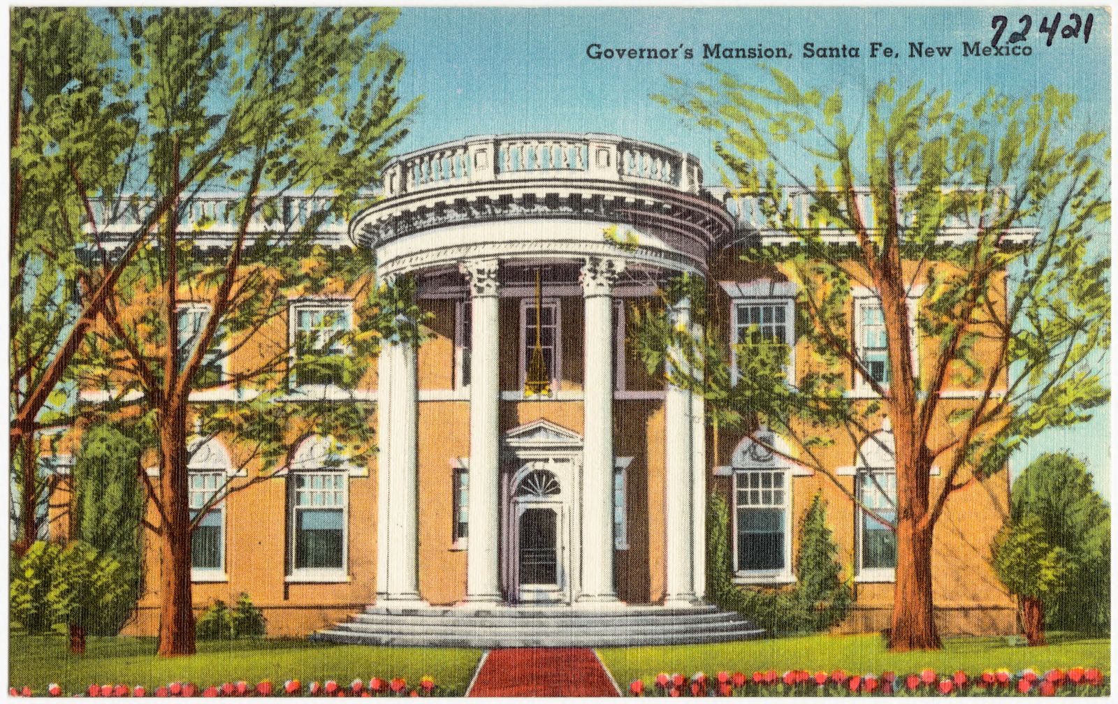
Governor's Mansion, Santa Fe, New Mexico, Boston Public Library - undated
Governor's Mansion, Santa Fe, New Mexico. Boston Public Library, via the Digital Public Library of America.
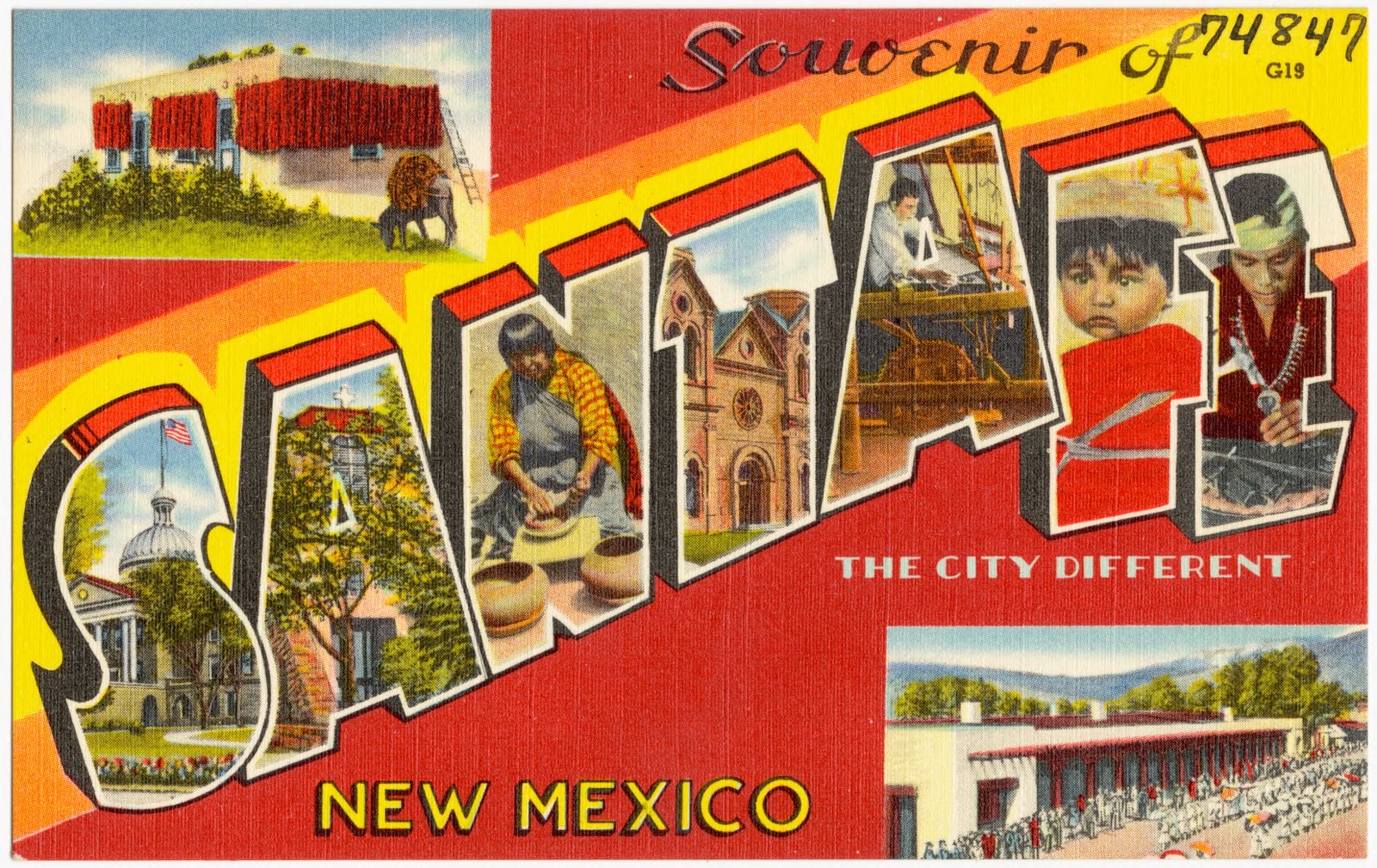
Souvenir of Santa Fe, the city different, New Mexico, Boston Public Library - undated
Souvenir of Santa Fe, the city different, New Mexico. Boston Public Library, via the Digital Public Library of America.
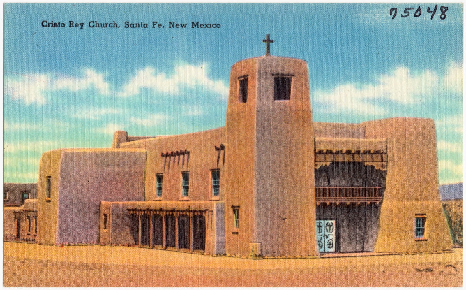
Cristo Rey Church, Santa Fe, New Mexico, Boston Public Library - undated
Cristo Rey Church, Santa Fe, New Mexico. Boston Public Library, via the Digital Public Library of America.
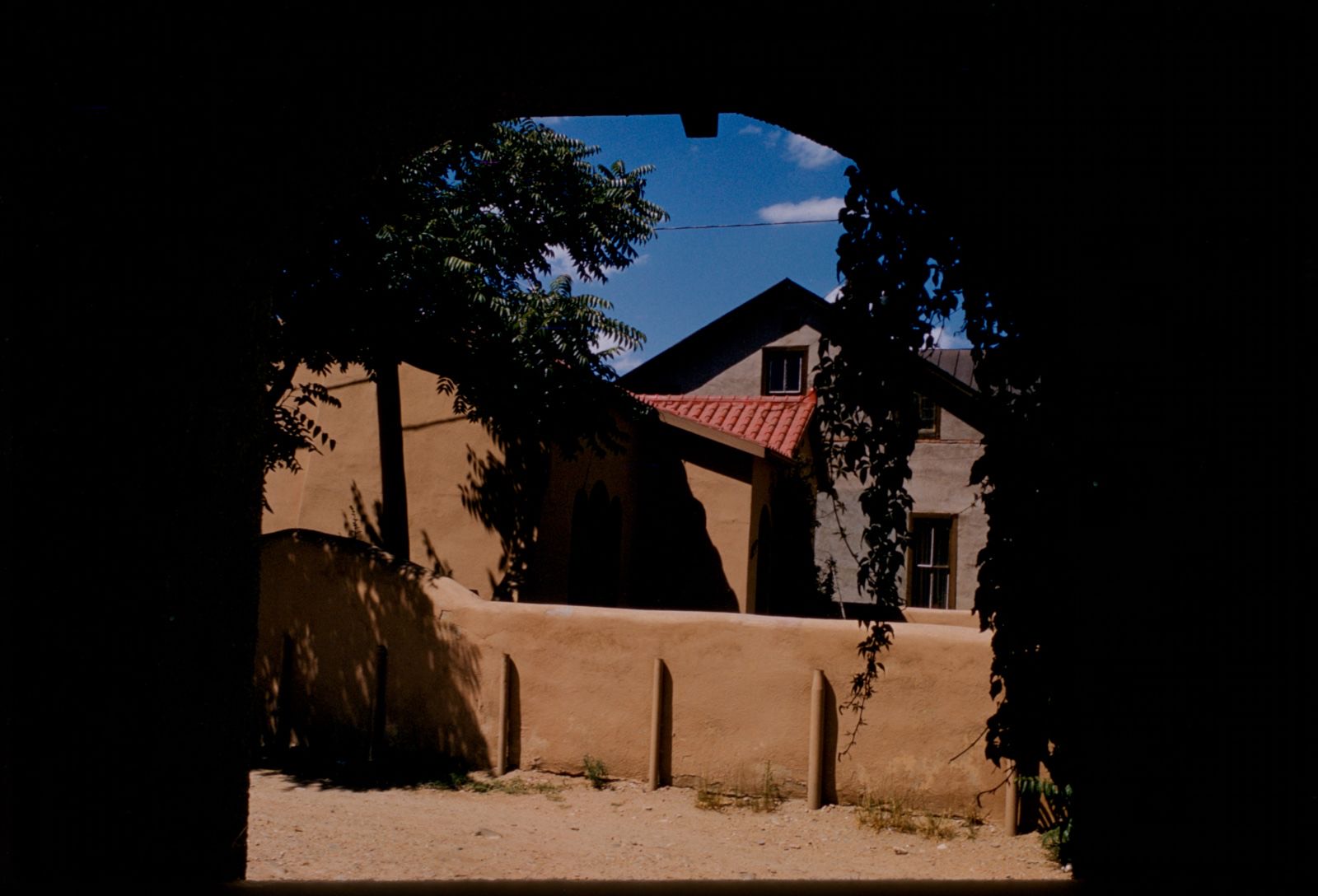
Adobe building, Santa Fe, New Mexico, Boston Public Library - undated
Adobe building, Santa Fe, New Mexico. Mitchell, Edmund L., 1905-1981, Boston Public Library, via the Digital Public Library of America.
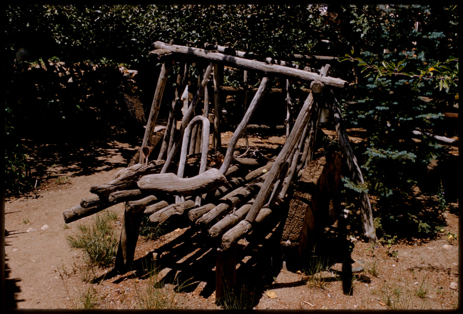
Antique wooden cart, Santa Fe, New Mexico, Boston Public Library - undated
Antique wooden cart, Santa Fe, New Mexico. Mitchell, Edmund L., 1905-1981, Boston Public Library, via the Digital Public Library of America.
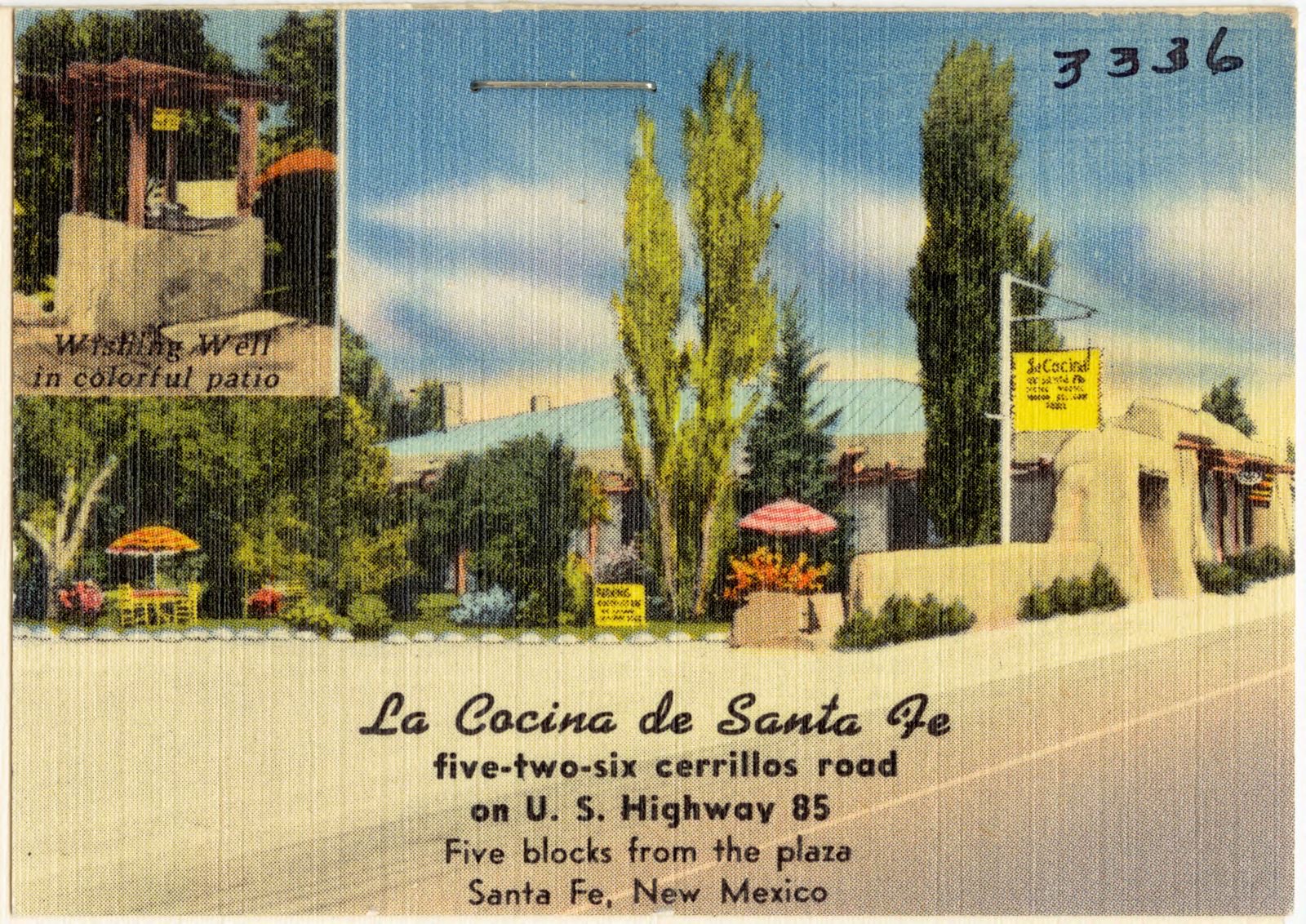
La Cocina de Santa Fe, five-two-six Cerrillos Road, on U.S. Highway 85, five blocks from the place, Santa Fe, New Mexico, Boston Public Library - undated
La Cocina de Santa Fe, five-two-six Cerrillos Road, on U.S. Highway 85, five blocks from the place, Santa Fe, New Mexico. Boston Public Library, via the Digital Public Library of America.
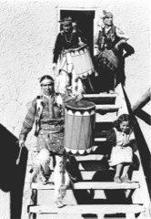
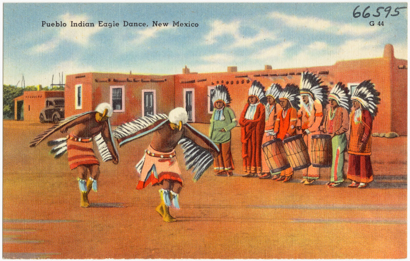
Pueblo Indian Eagle Dance, New Mexico, Boston Public Library - undated
Pueblo Indian Eagle Dance, New Mexico. Boston Public Library, via the Digital Public Library of America.
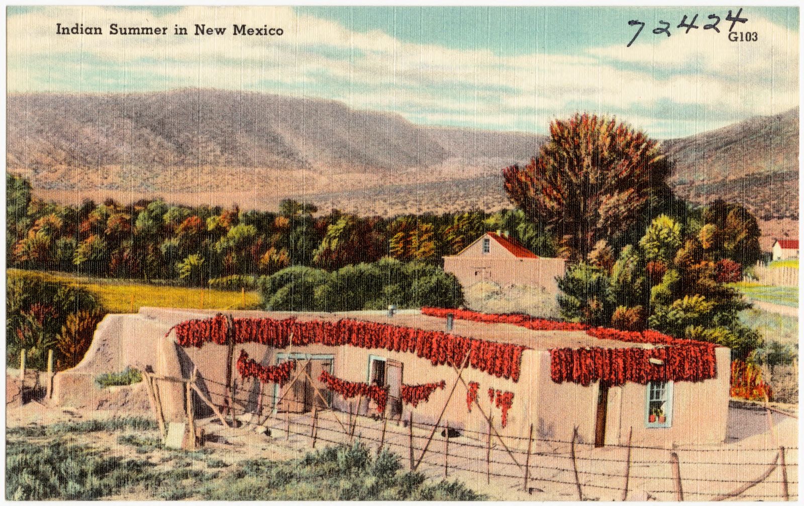
Indian Summer in New Mexico, Boston Public Library - undated
Indian Summer in New Mexico. Boston Public Library, via the Digital Public Library of America.
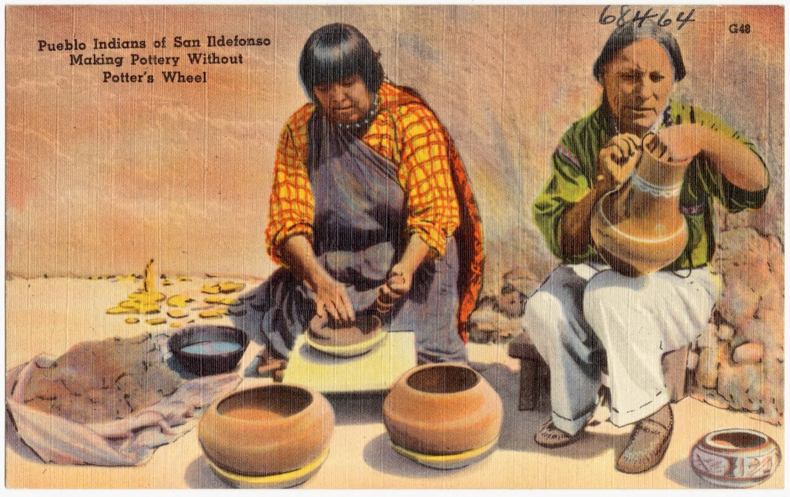
Pueblo Indians of San Ildefonso making pottery without pottery's wheel, Boston Public Library - undated
Pueblo Indians of San Ildefonso making pottery without pottery's wheel. Boston Public Library, via the Digital Public Library of America.
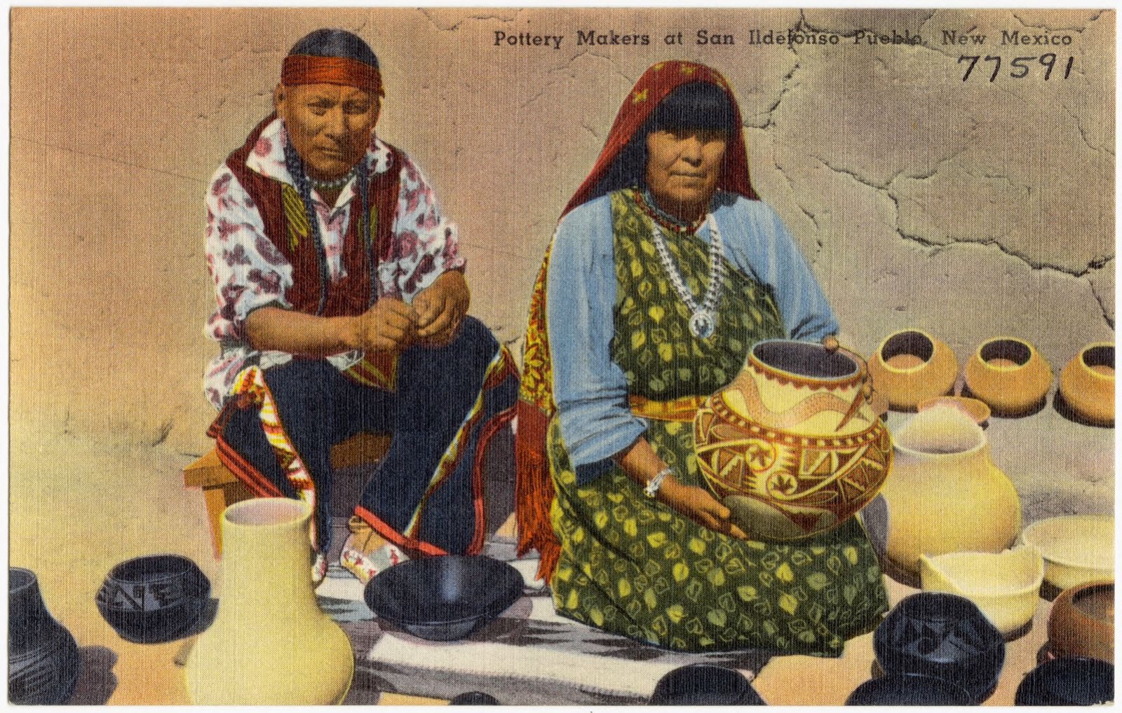
Pottery makers at San Ildefonso Pueblo, New Mexico, Boston Public Library - undated
Pottery makers at San Ildefonso Pueblo, New Mexico. Boston Public Library, via the Digital Public Library of America.
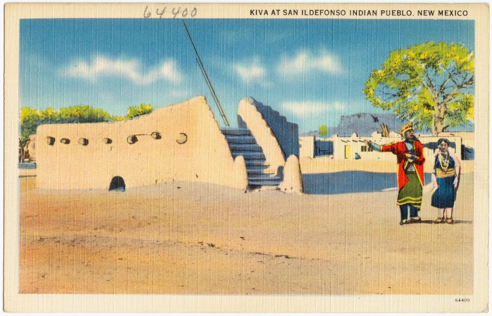
Kiva at San Ildefonso Indian Pueblo, New Mexico, Boston Public Library - undated
Kiva at San Ildefonso Indian Pueblo, New Mexico. Boston Public Library, via the Digital Public Library of America.
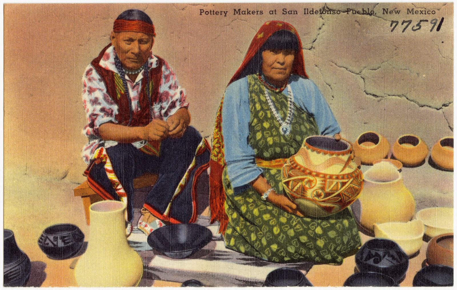
Pottery makers at San Ildefonso Pueblo, New Mexico, Boston Public Library - undated
Pottery makers at San Ildefonso Pueblo, New Mexico. Boston Public Library, via the Digital Public Library of America.
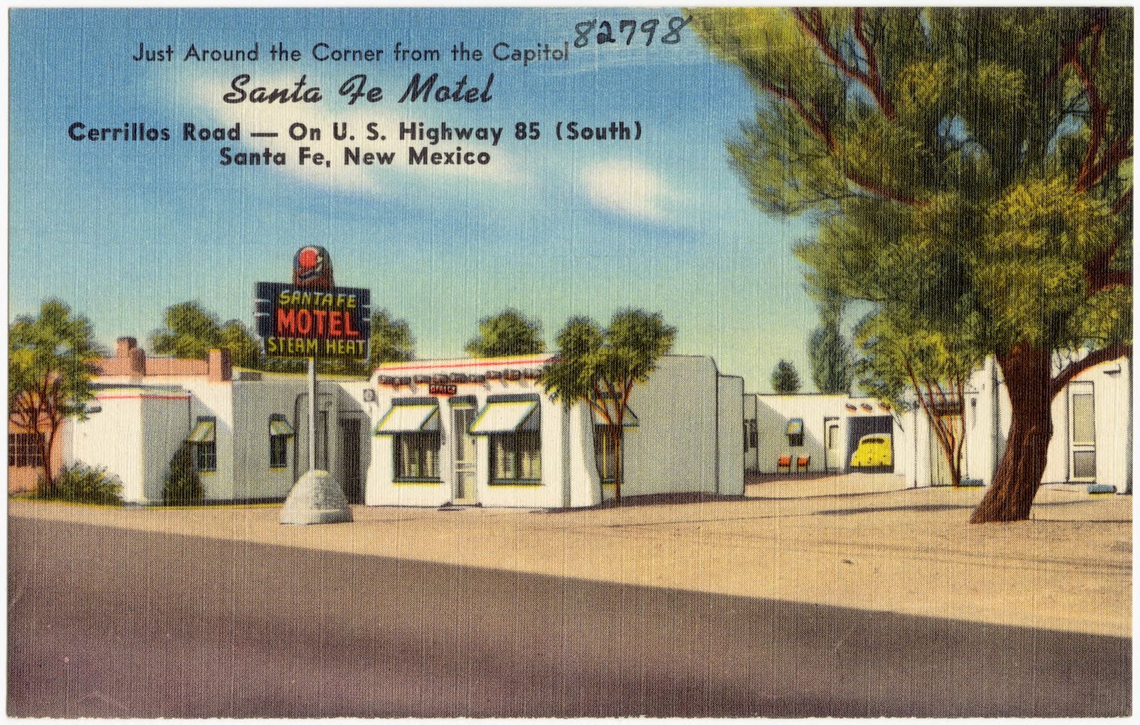
Santa Fe Motel, Cerrillos Road -- on U.S. Highway 85 (South), Santa Fe, New Mexico, Boston Public Library - undated
Santa Fe Motel, Cerrillos Road -- on U.S. Highway 85 (South), Santa Fe, New Mexico. Boston Public Library, via the Digital Public Library of America.
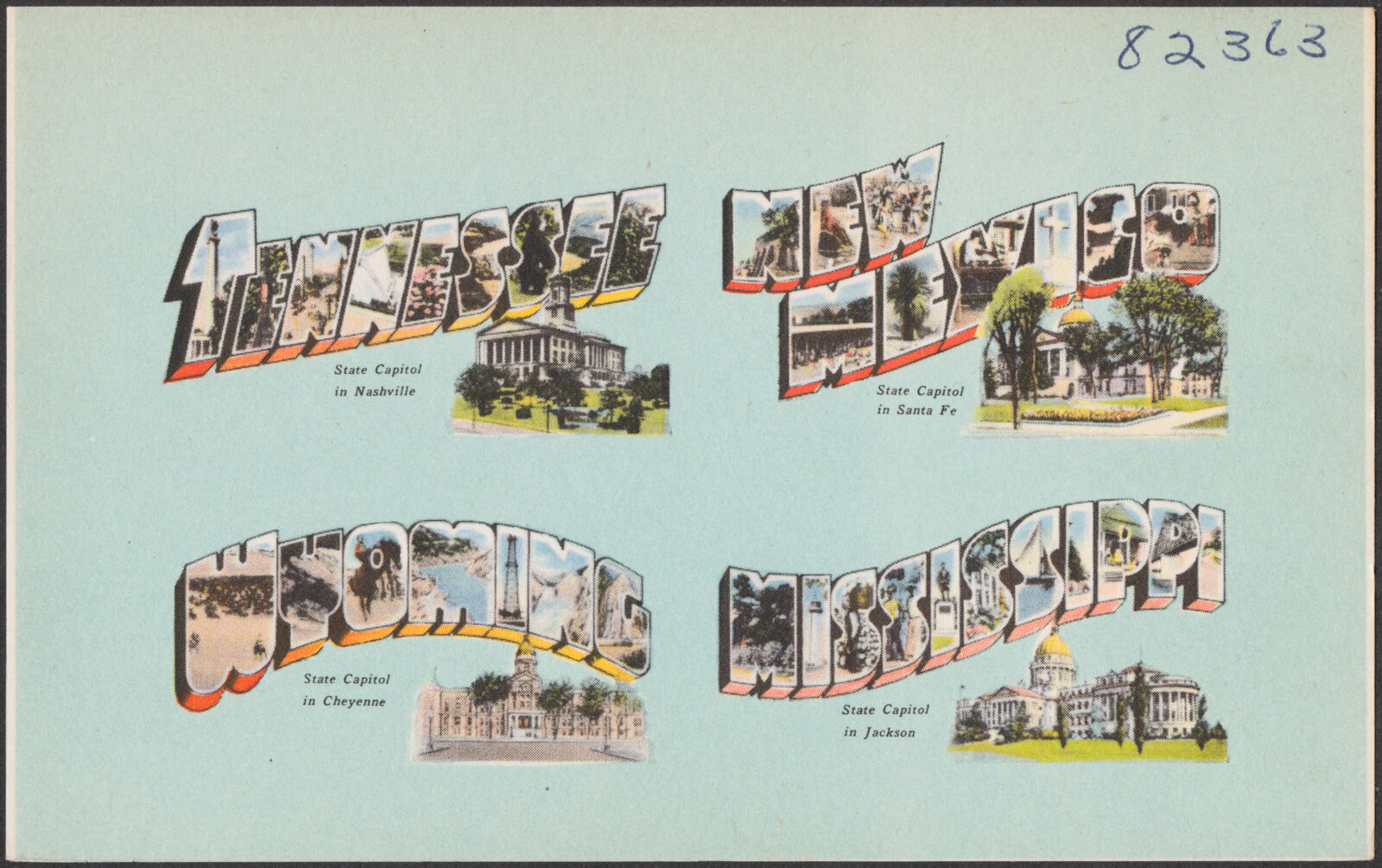
Tennessee. New Mexico. Wyoming. Mississippi, Boston Public Library - undated
Tennessee. New Mexico. Wyoming. Mississippi. Boston Public Library, via the Digital Public Library of America.

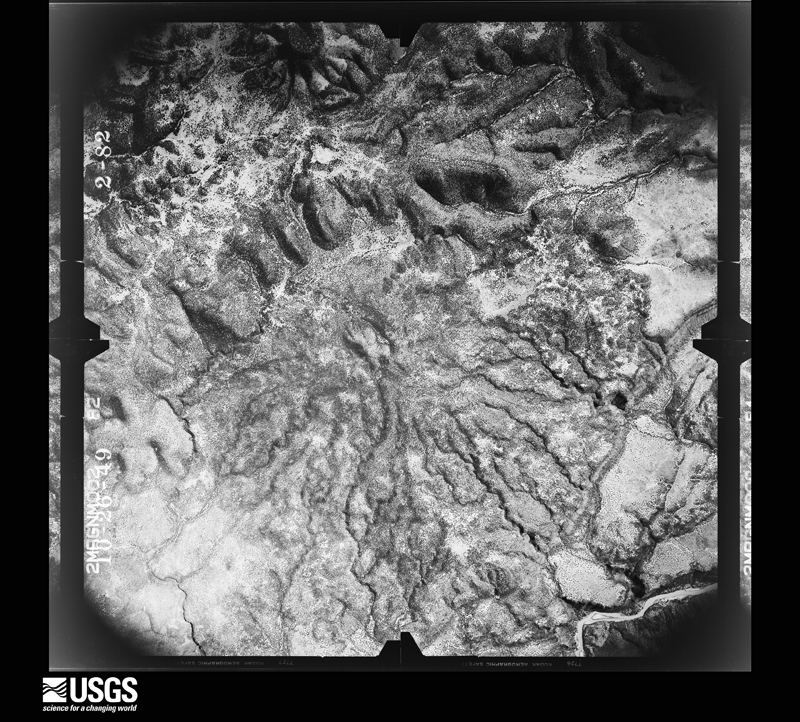
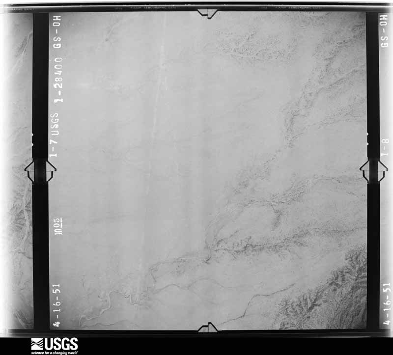
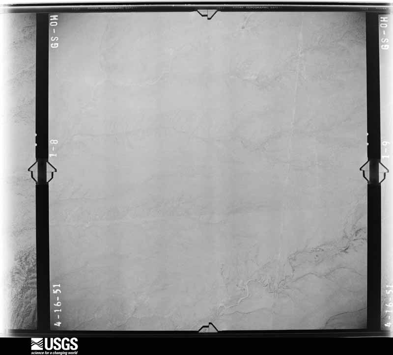
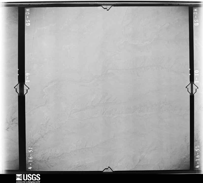
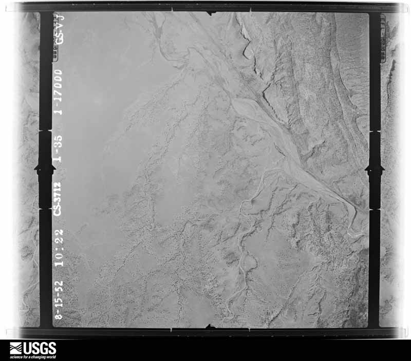
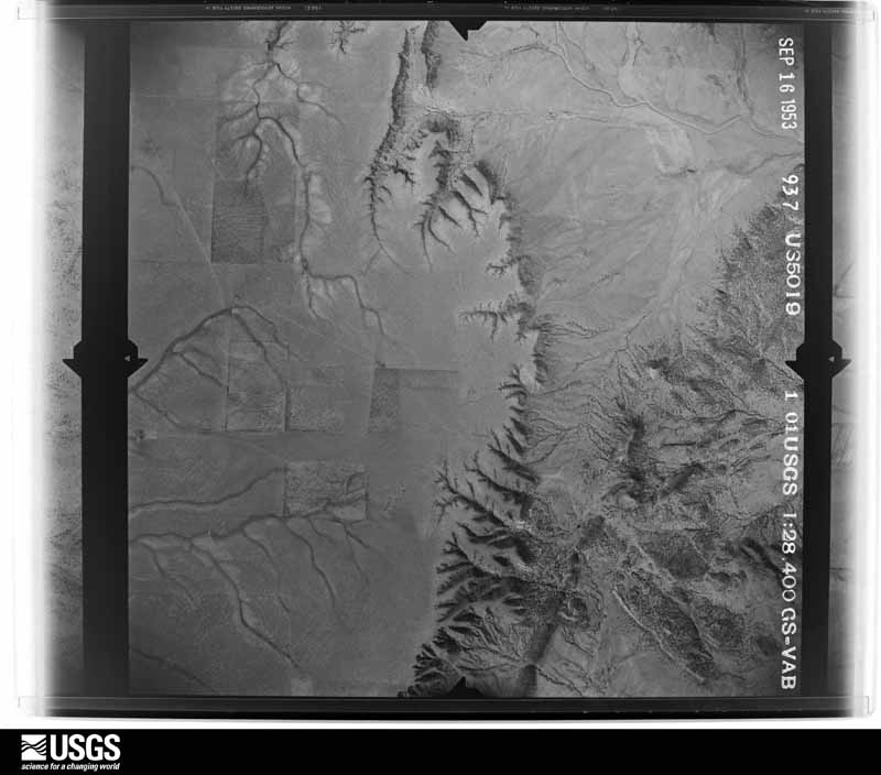
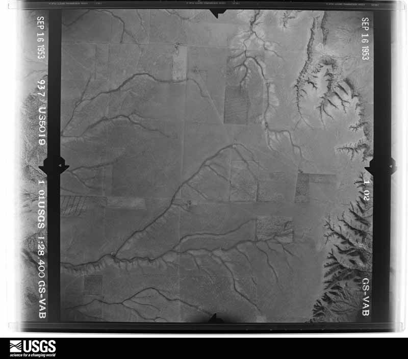
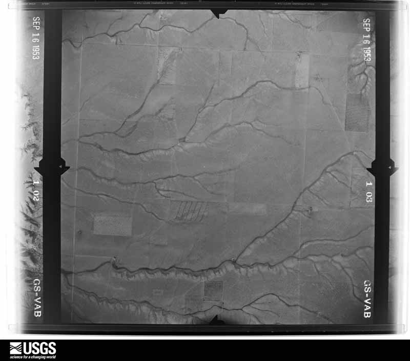
The county from the air

48 shown

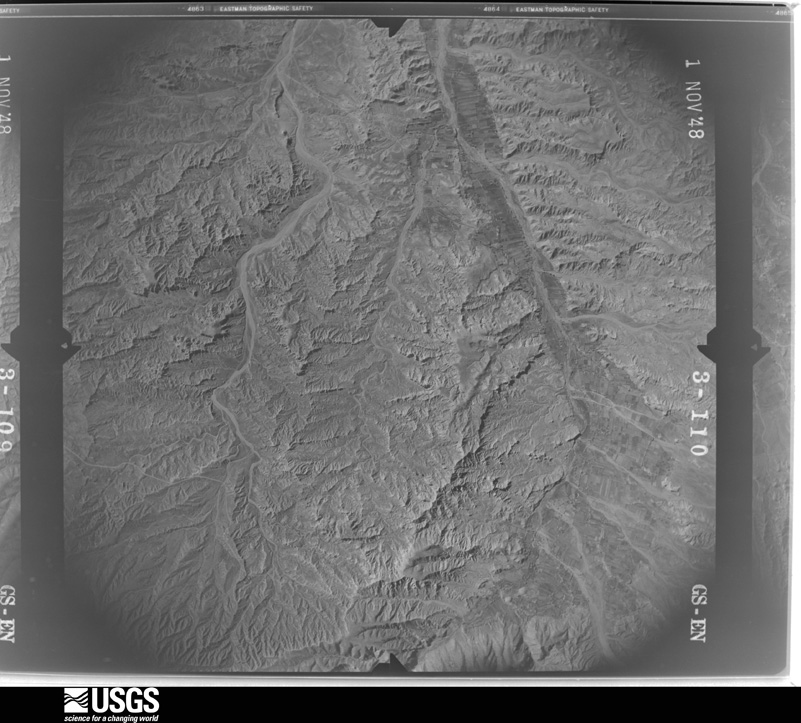
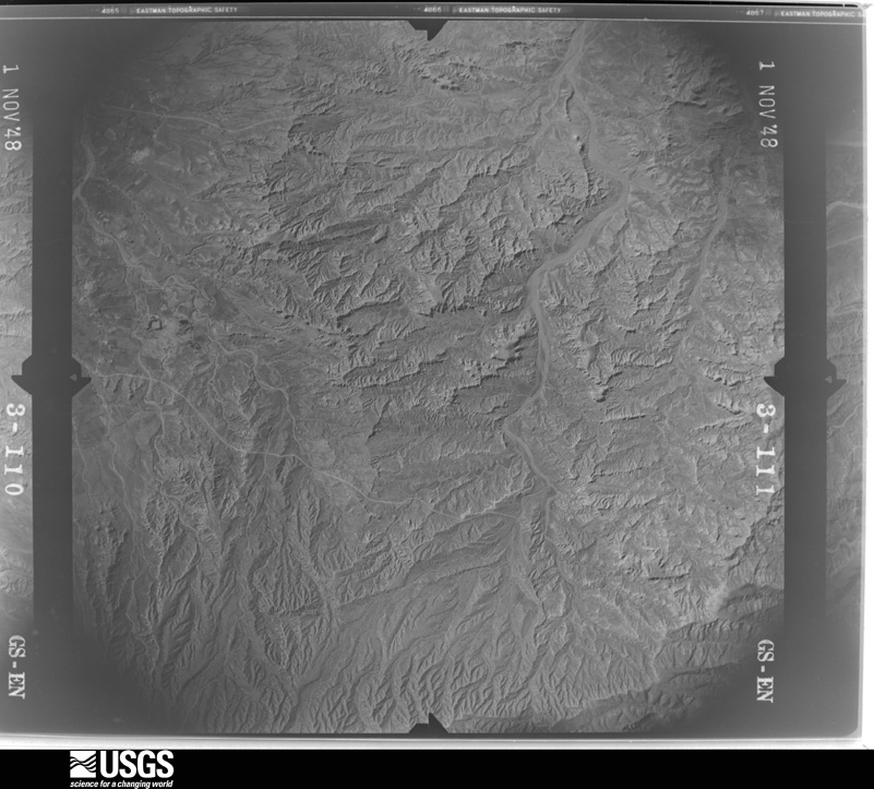
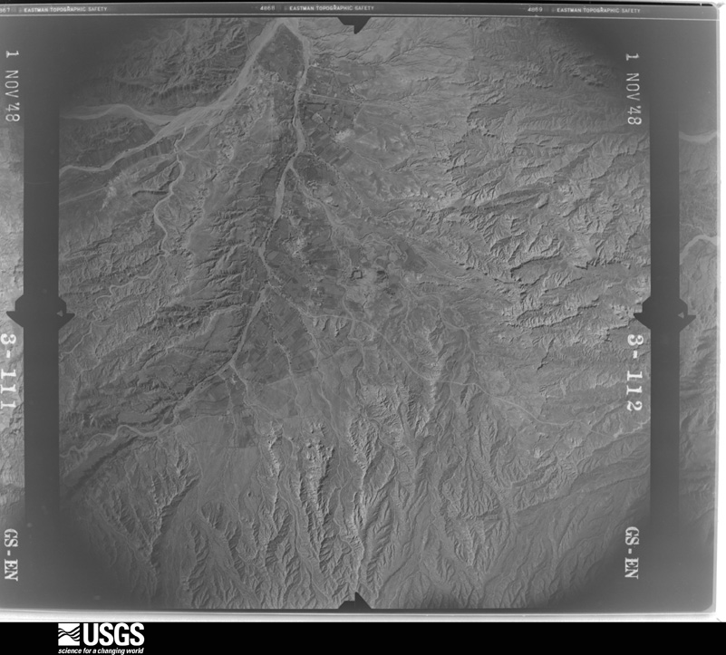
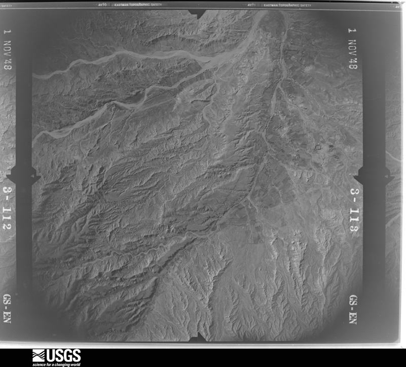
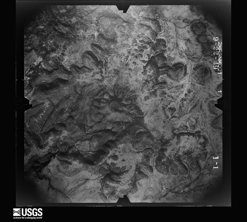
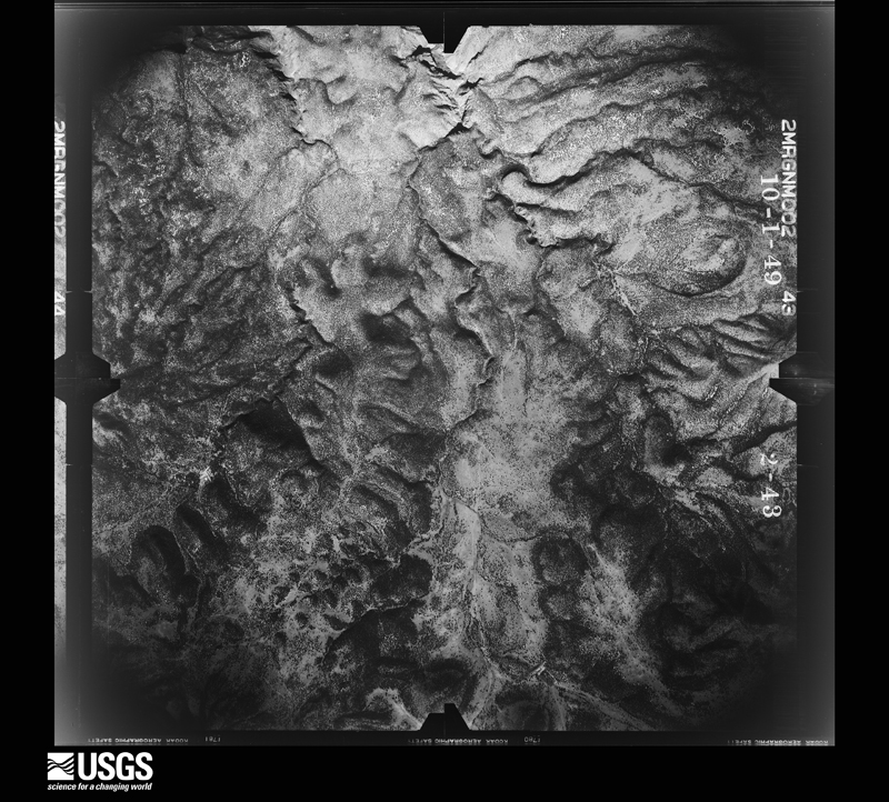
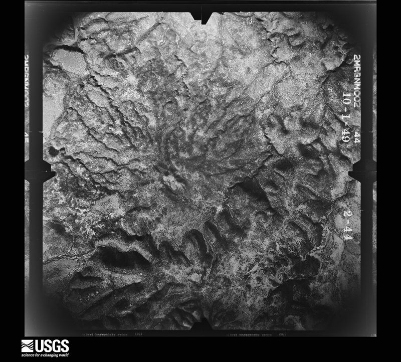
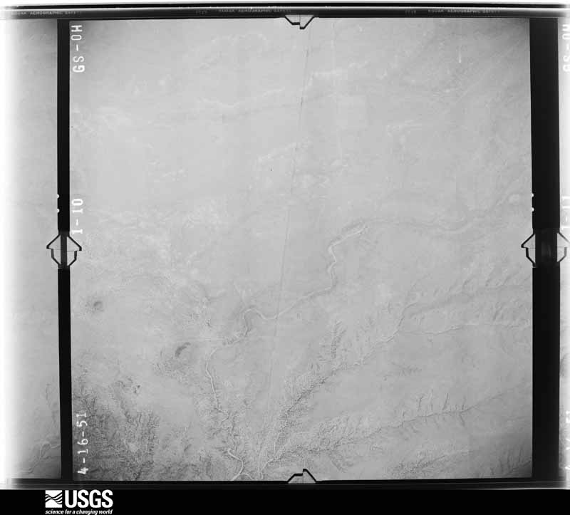
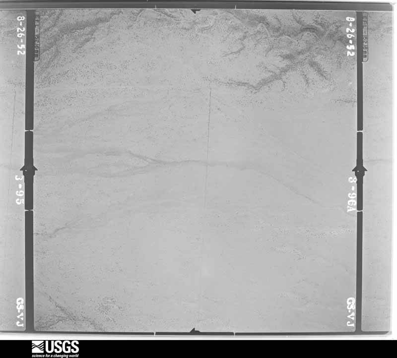
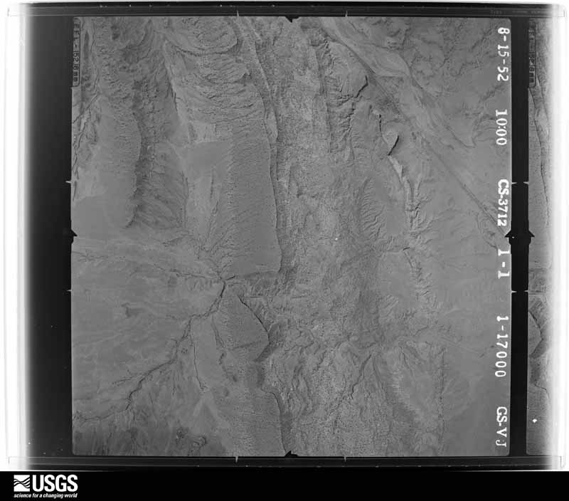
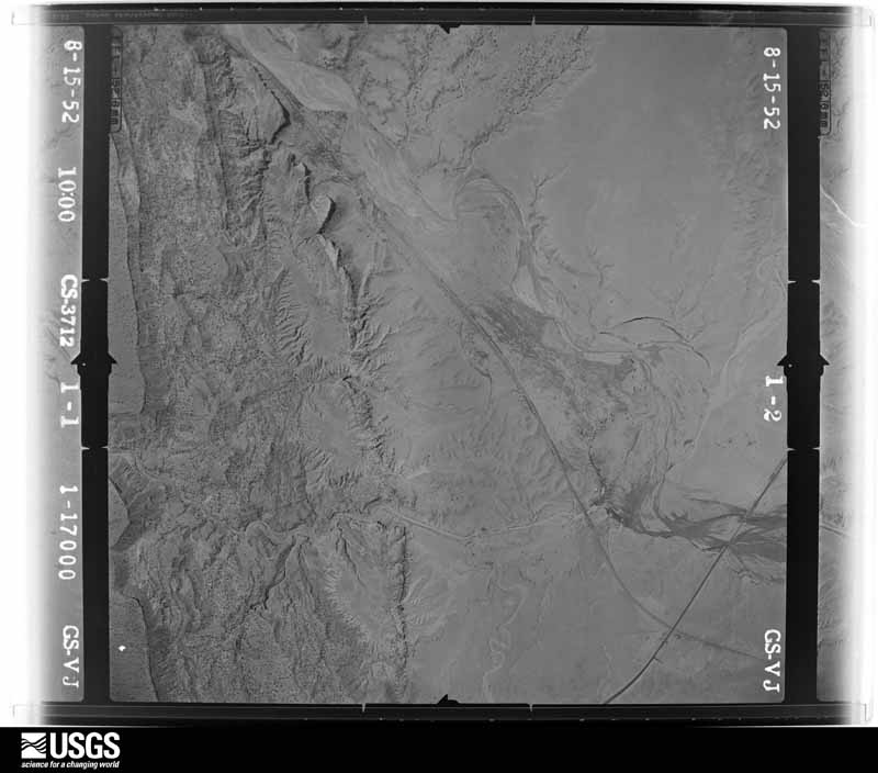
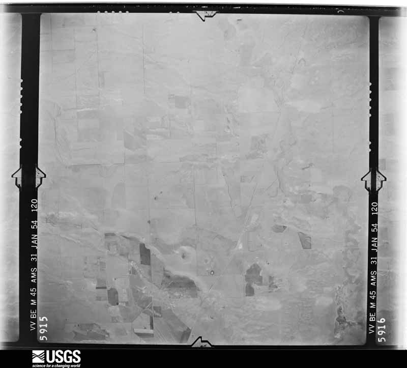
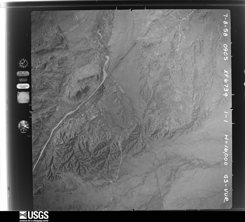
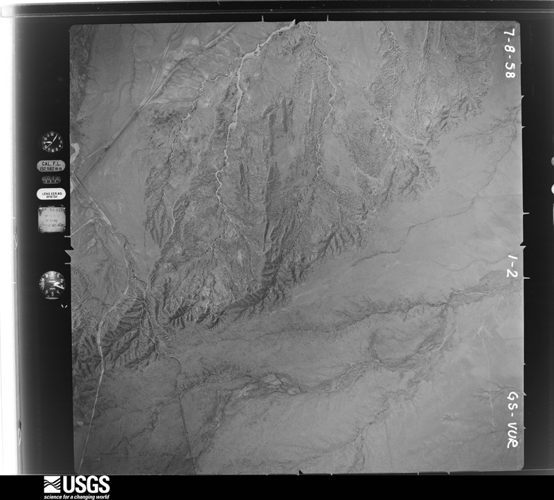
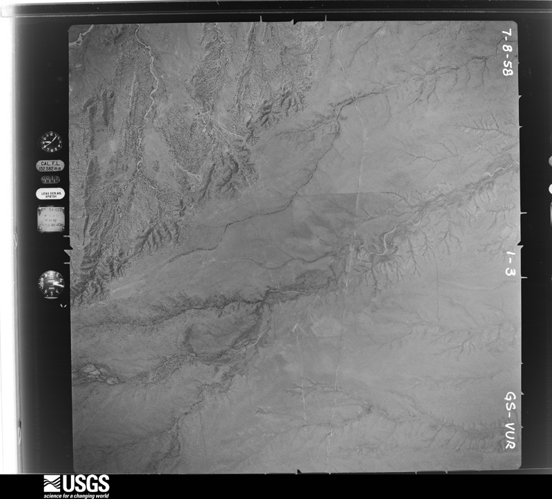
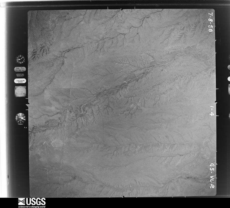
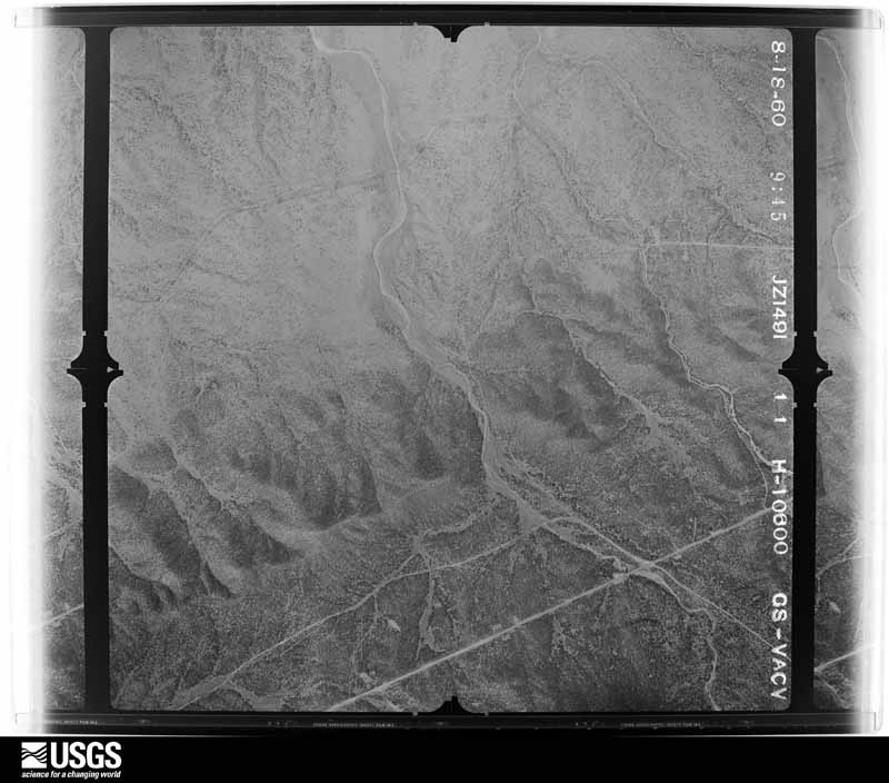
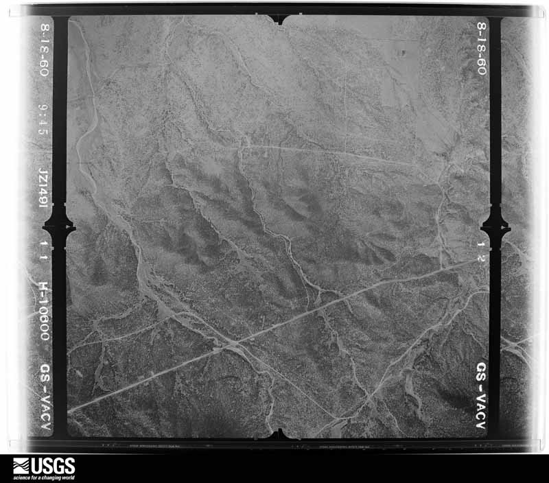
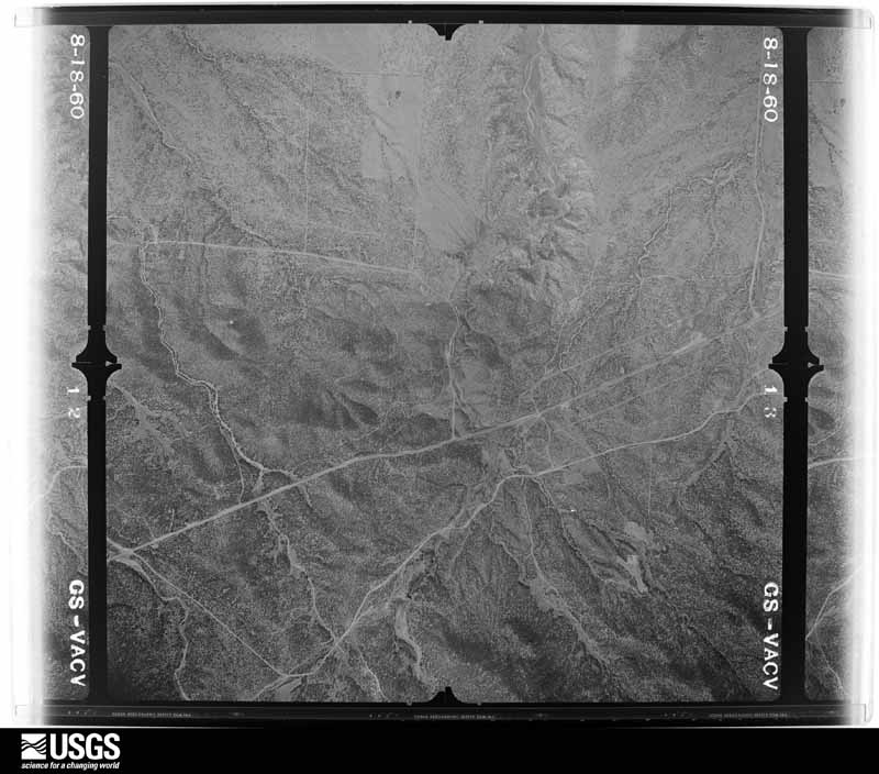
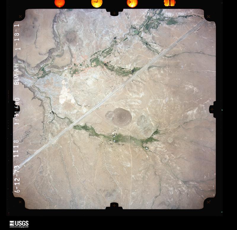
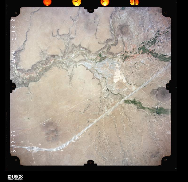
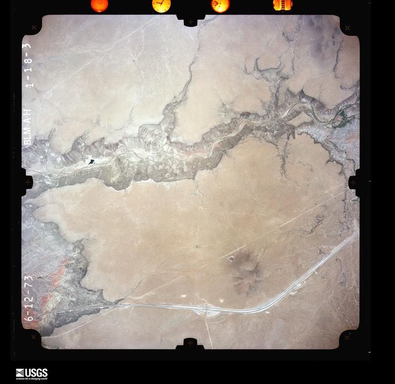
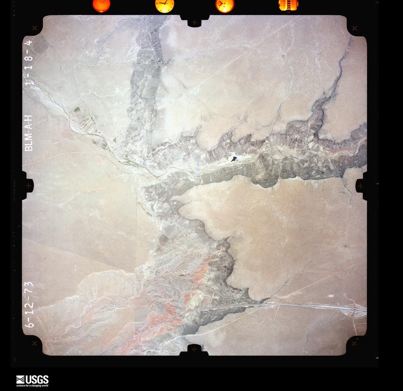
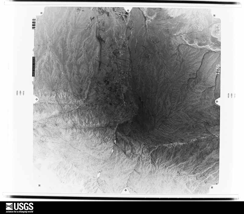
Flown by the U.S. Geological Survey between 1937 and 1989, the Aerial Photo Single Frames collection is the definitive mid-century view of the land: fields, roads and rivers as the camera saw them. The Survey holds 2,501 frames inside the rectangle that bounds this county; the 48 frames below were taken over the county itself, chosen across the decades of flights (at most four a year from that rectangle), so one flight cannot crowd out the rest. The full set is free to browse and download at EarthExplorer under the dataset Aerial Photo Single Frames.

U.S. Geological Survey aerial photograph, 1948-11-01, scale 1:43200
1948-11-01, scale 1:43200. U.S. Geological Survey aerial photograph.
U.S. Geological Survey aerial photograph, 1948-11-01, scale 1:43200
1948-11-01, scale 1:43200. U.S. Geological Survey aerial photograph.
U.S. Geological Survey aerial photograph, 1948-11-01, scale 1:43200
1948-11-01, scale 1:43200. U.S. Geological Survey aerial photograph.
U.S. Geological Survey aerial photograph, 1948-11-01, scale 1:43200
1948-11-01, scale 1:43200. U.S. Geological Survey aerial photograph.
U.S. Geological Survey aerial photograph, 1949-09-22, scale 1:32400
1949-09-22, scale 1:32400. U.S. Geological Survey aerial photograph.
U.S. Geological Survey aerial photograph, 1949-10-01, scale 1:32400
1949-10-01, scale 1:32400. U.S. Geological Survey aerial photograph.
U.S. Geological Survey aerial photograph, 1949-10-01, scale 1:32400
1949-10-01, scale 1:32400. U.S. Geological Survey aerial photograph.
U.S. Geological Survey aerial photograph, 1949-10-26, scale 1:32400
1949-10-26, scale 1:32400. U.S. Geological Survey aerial photograph.
U.S. Geological Survey aerial photograph, 1951-05-01, scale 1:28400
1951-05-01, scale 1:28400. U.S. Geological Survey aerial photograph.
U.S. Geological Survey aerial photograph, 1951-05-01, scale 1:28400
1951-05-01, scale 1:28400. U.S. Geological Survey aerial photograph.
U.S. Geological Survey aerial photograph, 1951-05-01, scale 1:28400
1951-05-01, scale 1:28400. U.S. Geological Survey aerial photograph.
U.S. Geological Survey aerial photograph, 1951-05-01, scale 1:28400
1951-05-01, scale 1:28400. U.S. Geological Survey aerial photograph.
U.S. Geological Survey aerial photograph, 1952-08-01, scale 1:17000
1952-08-01, scale 1:17000. U.S. Geological Survey aerial photograph.
U.S. Geological Survey aerial photograph, 1952-08-15, scale 1:17000
1952-08-15, scale 1:17000. U.S. Geological Survey aerial photograph.
U.S. Geological Survey aerial photograph, 1952-08-15, scale 1:17000
1952-08-15, scale 1:17000. U.S. Geological Survey aerial photograph.
U.S. Geological Survey aerial photograph, 1952-08-15, scale 1:17000
1952-08-15, scale 1:17000. U.S. Geological Survey aerial photograph.
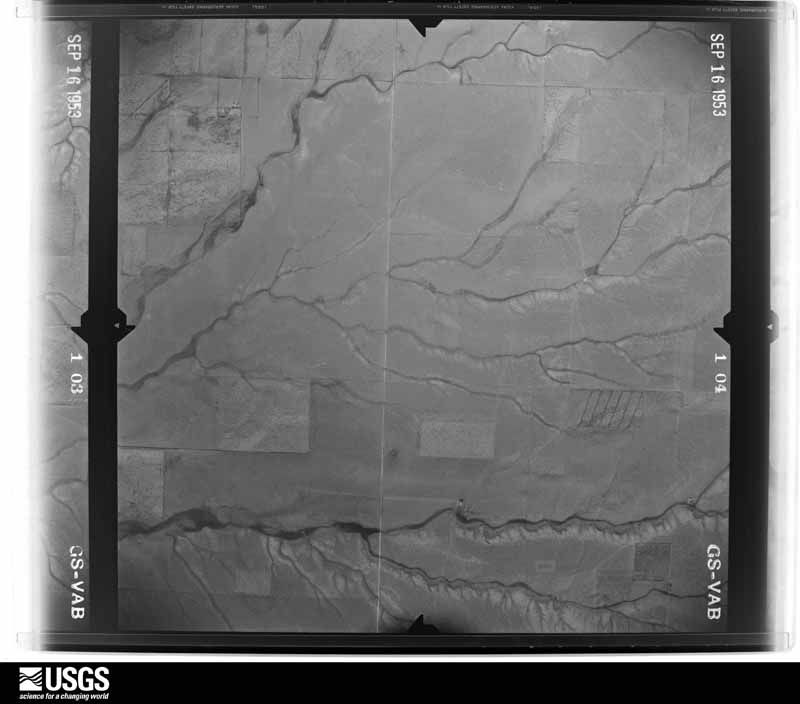
U.S. Geological Survey aerial photograph, 1953-09-16, scale 1:28400
1953-09-16, scale 1:28400. U.S. Geological Survey aerial photograph.
U.S. Geological Survey aerial photograph, 1953-09-16, scale 1:28400
1953-09-16, scale 1:28400. U.S. Geological Survey aerial photograph.
U.S. Geological Survey aerial photograph, 1953-09-16, scale 1:28400
1953-09-16, scale 1:28400. U.S. Geological Survey aerial photograph.
U.S. Geological Survey aerial photograph, 1953-09-16, scale 1:28400
1953-09-16, scale 1:28400. U.S. Geological Survey aerial photograph.
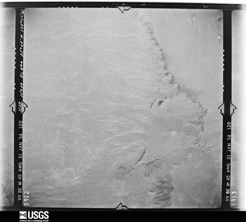
U.S. Geological Survey aerial photograph, 1954-01-31, scale 1:54000
1954-01-31, scale 1:54000. U.S. Geological Survey aerial photograph.
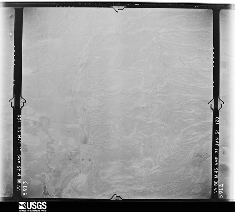
U.S. Geological Survey aerial photograph, 1954-01-31, scale 1:54000
1954-01-31, scale 1:54000. U.S. Geological Survey aerial photograph.
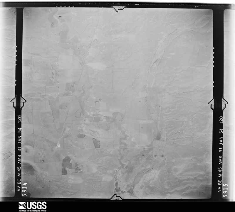
U.S. Geological Survey aerial photograph, 1954-01-31, scale 1:54000
1954-01-31, scale 1:54000. U.S. Geological Survey aerial photograph.
U.S. Geological Survey aerial photograph, 1954-01-31, scale 1:54000
1954-01-31, scale 1:54000. U.S. Geological Survey aerial photograph.
U.S. Geological Survey aerial photograph, 1958-07-08, scale 1:32000
1958-07-08, scale 1:32000. U.S. Geological Survey aerial photograph.
U.S. Geological Survey aerial photograph, 1958-07-08, scale 1:32000
1958-07-08, scale 1:32000. U.S. Geological Survey aerial photograph.
U.S. Geological Survey aerial photograph, 1958-07-08, scale 1:32000
1958-07-08, scale 1:32000. U.S. Geological Survey aerial photograph.
U.S. Geological Survey aerial photograph, 1958-07-08, scale 1:32000
1958-07-08, scale 1:32000. U.S. Geological Survey aerial photograph.
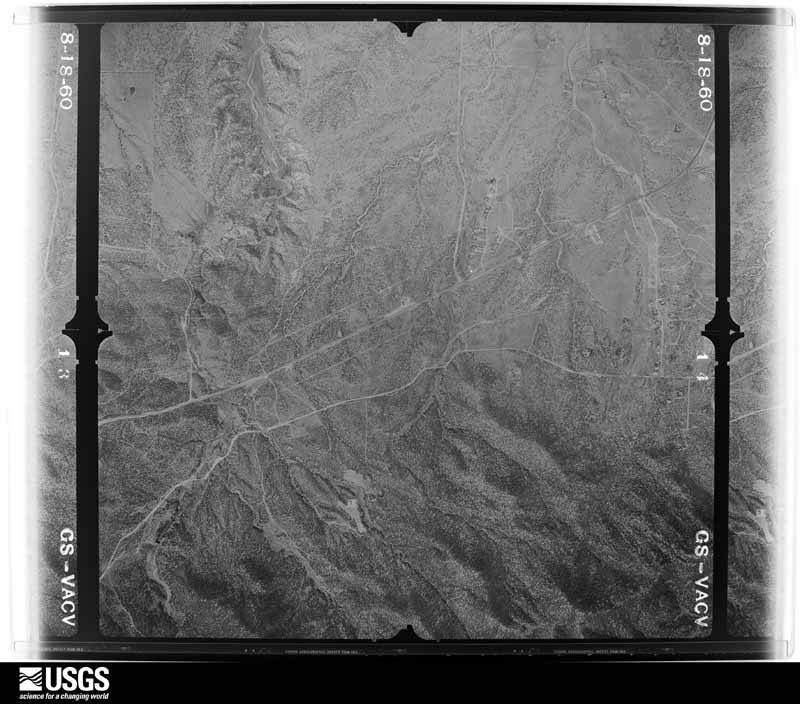
U.S. Geological Survey aerial photograph, 1960-08-18, scale 1:21200
1960-08-18, scale 1:21200. U.S. Geological Survey aerial photograph.
U.S. Geological Survey aerial photograph, 1960-08-18, scale 1:21200
1960-08-18, scale 1:21200. U.S. Geological Survey aerial photograph.
U.S. Geological Survey aerial photograph, 1960-08-18, scale 1:21200
1960-08-18, scale 1:21200. U.S. Geological Survey aerial photograph.
U.S. Geological Survey aerial photograph, 1960-08-18, scale 1:21200
1960-08-18, scale 1:21200. U.S. Geological Survey aerial photograph.
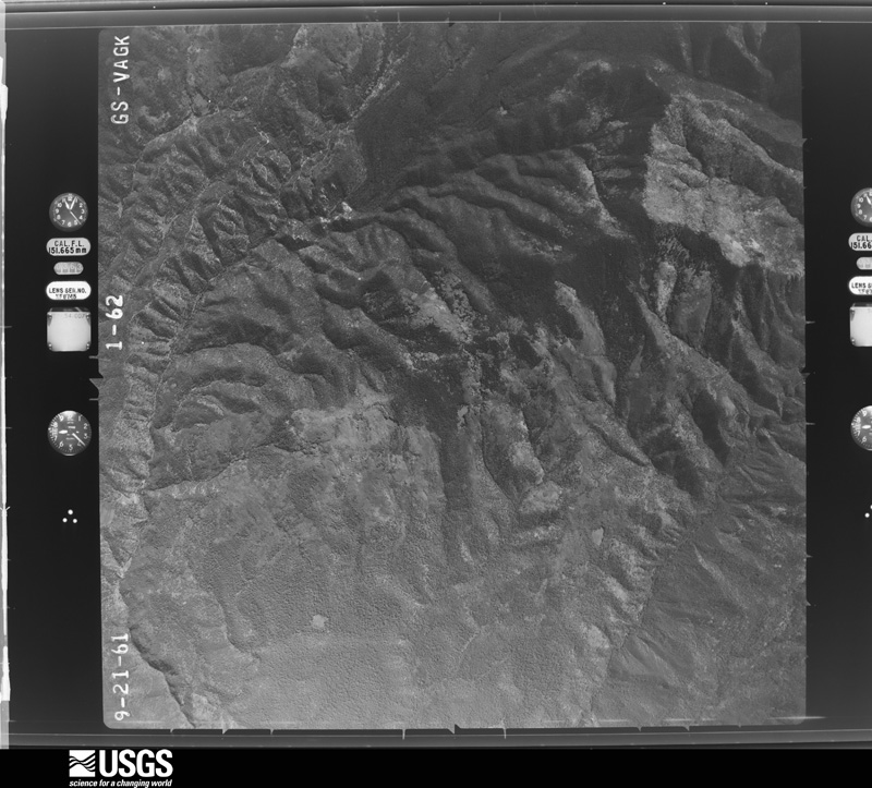
U.S. Geological Survey aerial photograph, 1961-09-21, scale 1:35800
1961-09-21, scale 1:35800. U.S. Geological Survey aerial photograph.
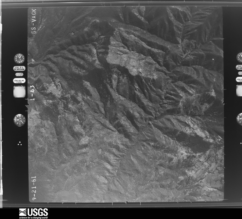
U.S. Geological Survey aerial photograph, 1961-09-21, scale 1:35800
1961-09-21, scale 1:35800. U.S. Geological Survey aerial photograph.
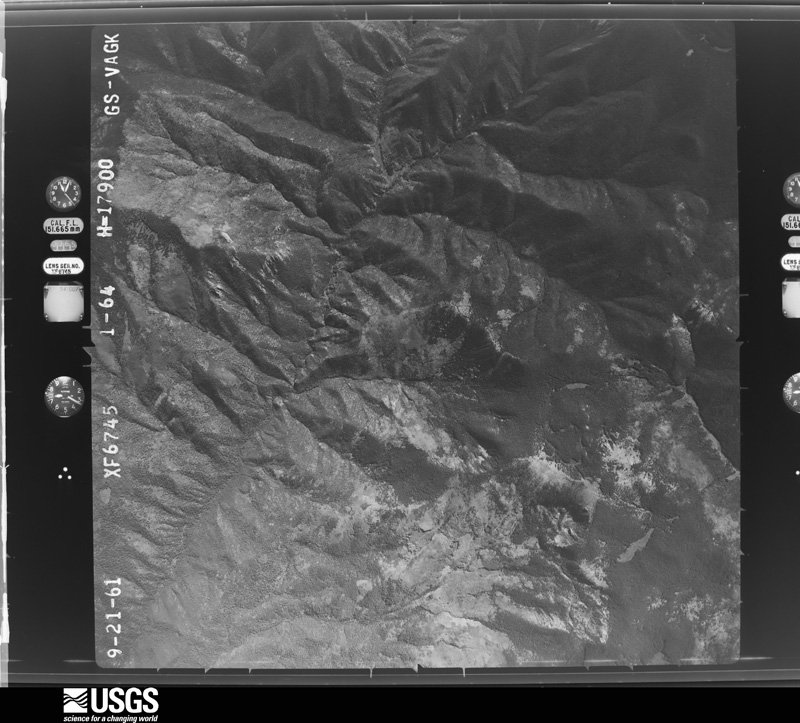
U.S. Geological Survey aerial photograph, 1961-09-21, scale 1:35800
1961-09-21, scale 1:35800. U.S. Geological Survey aerial photograph.
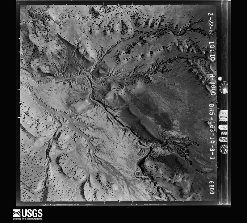
U.S. Geological Survey aerial photograph, 1962-02-01, scale 1:6000
1962-02-01, scale 1:6000. U.S. Geological Survey aerial photograph.
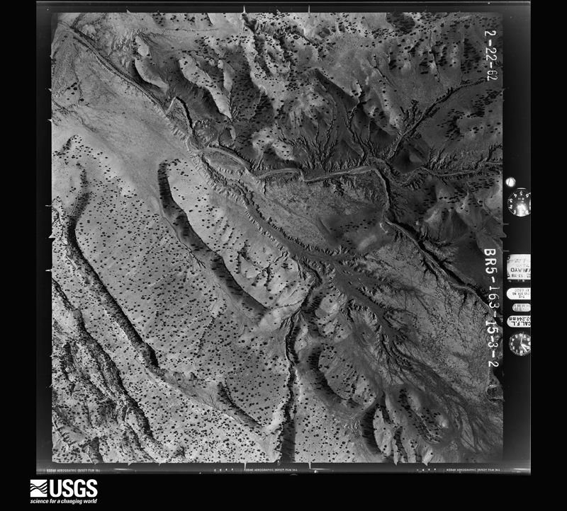
U.S. Geological Survey aerial photograph, 1962-02-01, scale 1:6000
1962-02-01, scale 1:6000. U.S. Geological Survey aerial photograph.
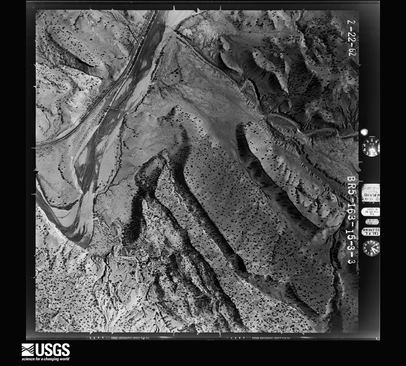
U.S. Geological Survey aerial photograph, 1962-02-01, scale 1:6000
1962-02-01, scale 1:6000. U.S. Geological Survey aerial photograph.
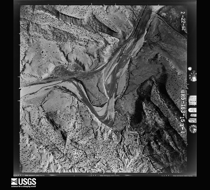
U.S. Geological Survey aerial photograph, 1962-02-01, scale 1:6000
1962-02-01, scale 1:6000. U.S. Geological Survey aerial photograph.
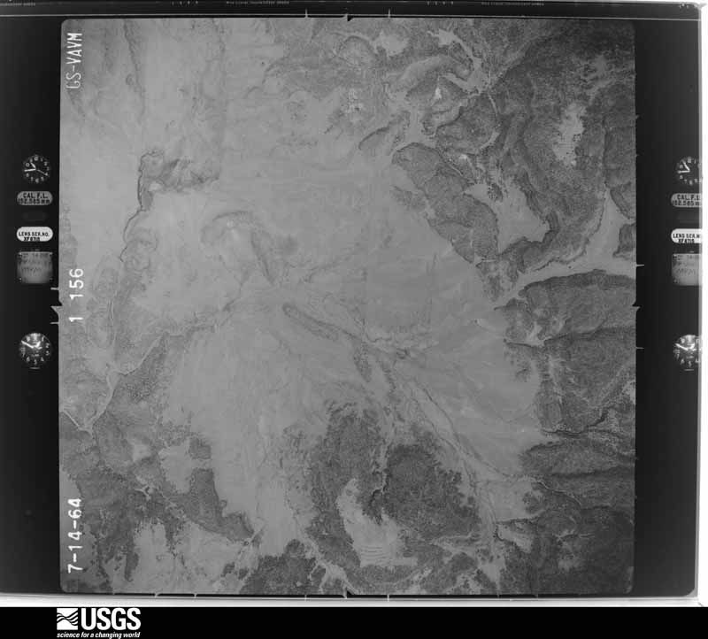
U.S. Geological Survey aerial photograph, 1964-07-10, scale 1:29600
1964-07-10, scale 1:29600. U.S. Geological Survey aerial photograph.
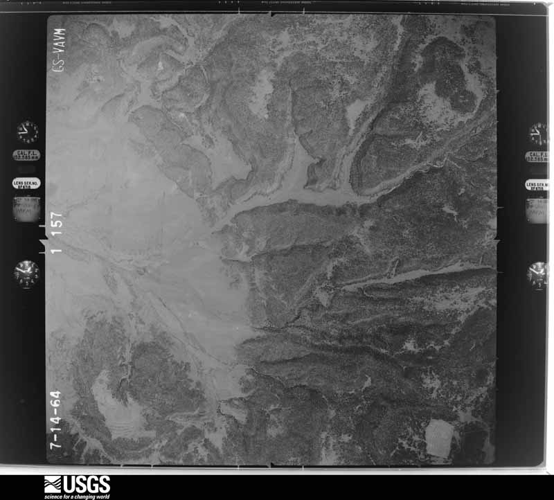
U.S. Geological Survey aerial photograph, 1964-07-10, scale 1:29600
1964-07-10, scale 1:29600. U.S. Geological Survey aerial photograph.
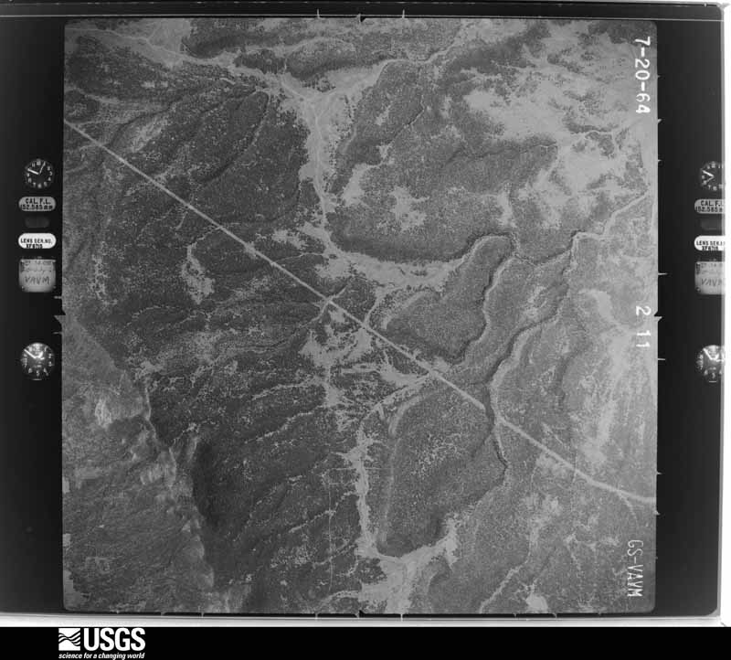
U.S. Geological Survey aerial photograph, 1964-07-10, scale 1:29600
1964-07-10, scale 1:29600. U.S. Geological Survey aerial photograph.
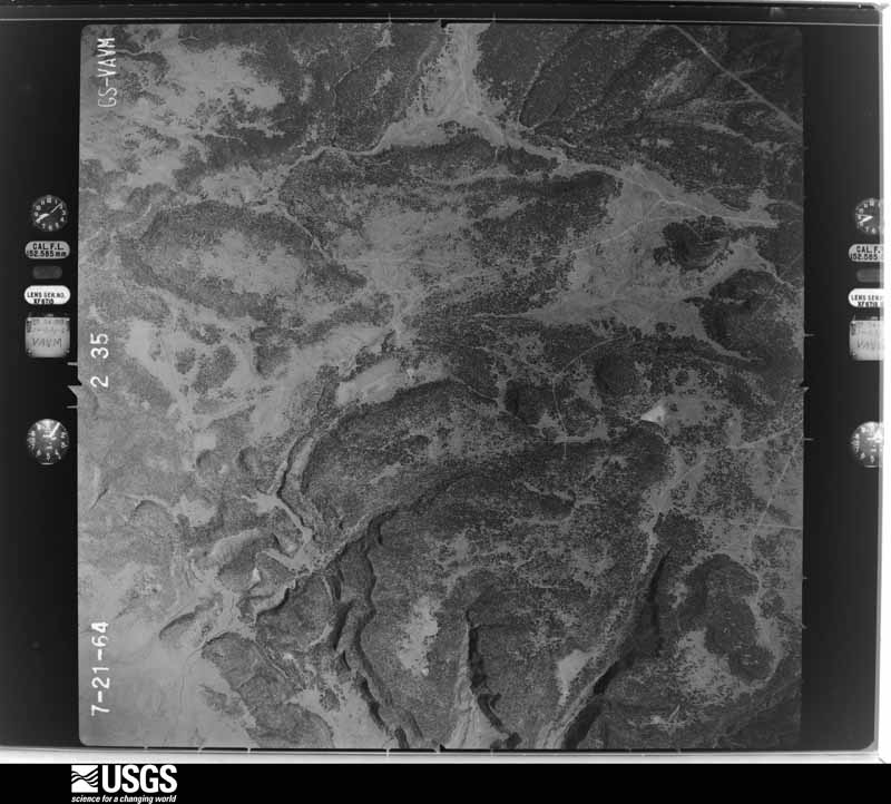
U.S. Geological Survey aerial photograph, 1964-07-10, scale 1:29600
1964-07-10, scale 1:29600. U.S. Geological Survey aerial photograph.
U.S. Geological Survey aerial photograph, 1973-06-12, scale 1:31680
1973-06-12, scale 1:31680. U.S. Geological Survey aerial photograph.
U.S. Geological Survey aerial photograph, 1973-06-12, scale 1:31680
1973-06-12, scale 1:31680. U.S. Geological Survey aerial photograph.
U.S. Geological Survey aerial photograph, 1973-06-12, scale 1:31680
1973-06-12, scale 1:31680. U.S. Geological Survey aerial photograph.
U.S. Geological Survey aerial photograph, 1973-06-12, scale 1:31680
1973-06-12, scale 1:31680. U.S. Geological Survey aerial photograph.
U.S. Geological Survey aerial photograph, 1975-06-25, scale 1:121000
1975-06-25, scale 1:121000. U.S. Geological Survey aerial photograph.

Weather records

183 stations, 31 gages

The thermometers that kept this county's weather, and the gages that measured the flow of its streams, as the federal records hold them. The extremes below are measured values from those records, not estimates.

The 1950 census, district by district

75 districts

Who lived here in 1950, one enumeration district at a time, as the Census Bureau described each district. Each row opens its official National Archives result, with Population Schedules and ED Maps available there.

  • 26-1Election Precinct 1, Pojoaque -Pojoaque Indian Reservation
  • 26-2Election Precinct 2, Tesuque: Election Precinct 2, Tesuque - That part in Tesuque Indian Reservation
  • 26-3Election Precinct 2, Tesuque - That part outside Tesuque Indian Reservation
  • 26-4Santa Fe city, comprising Election Precincts 4, 17, 18, 28, 29, 31, 32, 33 and part of Election Precinct 3, Santa Fe: Santa Fe city - That part of Ward 1 in Election Precinct 3, Santa Fe Bounded by Santa Fe River; City limits; Camino De Cruz Blanca extended, Camino De Cruz Blanca; Camino Cabra
  • 26-5Santa Fe city - That part of Ward 1 in Election Precinct 3, Santa Fe Bounded by Sante Fe River; Camino Cabra; Camino De Cruz Blanca, Yale; Camino Monte Sol, Garcia, Canon Rd.
  • 26-6Santa Fe city - That part of Ward 1 in Election Precinct 3, Santa Fe, excluding Seminary of the Immaculate Heart of Mary Bounded by Yale, Camino De Cruz Blanca, Camino De Cruz Blanca extended; City limits; City limits; Election Precinct line, Pecos Rd., Camino Monte Sol
  • 26-7Seminar of the Immaculate Heart of Mary (In Santa Fe city, Ward 1, Election Precinct 3. Santa Fe)
  • 26-8Santa Fe city - That part of Ward 2 in Election Precinct 4, Santa Fe Bounded by Santa Fe River; Denver & Rio Grande Western Railroad; Aqua Fria, Dunlap; Ambrosio
  • 26-9Santa Fe city - That part of Ward 2 in Election Precinct 4, Santa Fe Bounded by Santa Fe River; Ambrosio, Dunlap; Aqua Fria; Urioste, Alto
  • 26-10Santa Fe city - That part of Ward 2 in Election Precinct 4, Santa Fe Bounded by Santa Fe River, AIto; Urioste; Aqua Fria; Election Precinct line
  • 26-11Santa Fe city - That part of Ward 3 in Election Precinct 17, Santa Fe Bounded by Denver & Rio Grande Western Railroad; Rosario, Park Ave., San Francisco, Election Precinct line; Santa Fe River; Ambrosio, Alameda, Camino De Las Crucitas
  • 26-12Santa Fe city - That part of Ward 3 in Election Precinct 17, Santa Fe Bounded by Denver & Rio Grande Western Railroad; Camino De Las Crucitas, Alameda, Ambrosio; Santa Fe River; City limits
  • 26-13Santa Fe city - That part of Ward 4 in Election Precinct 18, Santa Fe Bounded by City limits; City limits; Hyde Park Rd., Prince Ave., Artist Rd.; Bishops Lodge Rd.
  • 26-14Santa Fe city - That part of Ward 4 in Election Precinct 18, Santa Fe, excluding Academy of our Lady of Light, La Fonda Hotel and St. Vincent's Orphan Asylum and Industrial School for Girls Bounded by Artist Rd.; Prince Ave., Kearney Ave., Otero, Hillside Ave., E. Marcy, Martinez, Palace Ave., Delgado; Santa Fe River; Shelby, Palace Ave., Washington, Bishops Lodge Rd.
  • 26-15Academy of Our Lady of Light (In Santa Fe city, Ward 4, Election Precinct 18, Santa Fe)
  • 26-16La Fonda Hotel (In Santa Fe city, Ward 4, Election Precinct 18, Santa Fe)
  • 26-17St. Vincents Orphan Asylum and Industrial School for Girls (In Sante Fe city, Ward 4, Election Precinct 18, Santa Fe)
  • 26-18Santa Fe city - That part of Ward 4 in Election Precinct 18, Santa Fe Bounded by Kearney Ave., Prince Ave.; Gonzales Rd., Palace Ave.; Santa Fe River; Delgado, Palace Ave., Martinez, E. Marcy, Hillside Ave., Otero
  • 26-19Santa Fe city - That part of Ward 4 in Election Precinct 18, Santa Fe Bounded by Hyde Park Rd.; City limits; Santa Fe River; Palace Ave., Gonzales Rd.
  • 26-20Santa Fe city - That part of Ward 1 in Election Precinct 28, Santa Fe, excluding St. Michael's College Bounded by Santa Fe River; Canon Rd., Garcia, Comino Corrales; Camino Perros Grandes; Pecos Trail, College Ave.
  • 26-21BSt. Michael's High School (In Santa Fe city, Ward 1, Election Precinct 28, Santa Fe)
  • 26-21ASt. Michael's College (In Santa Fe city, Ward 1, Election Precinct 28, Santa Fe)
  • 26-22Santa Fe city - That part of Ward 1 in Election Precinct 28, Santa Fe Bounded by Santa Fe River; College Ave., Pecos Trail; E. Cordova Rd.; Don Gaspar Ave.
  • 26-23Santa Fe city - That part of Ward 1 in Election Precinct 28, Santa Fe Bounded by E. Cordova Rd.; Pecos Trail, U.S. Highway 85; City limits; Election Precinct line, Don Gaspar Ave.
  • 26-24Santa Fe city - That part of Ward 1 in Election Precinct 28, Santa Fe Bounded by Camino Perros Grandes, Camino Corrales, Garcia; Camino Monte Sol, Pecos Rd., Election Precinct line; City limits; U.S. Highway 85, Pecos Trail
  • 26-25Santa Fe city - That part of Ward 2 in Election Precinct 29, Santa Fe Bounded by Santa Fe River; Don Gaspar Ave.; W. Santa Fe Ave., Galisteo, Hickox; Denver & Rio Grande Western Railroad
  • 26-26Santa Fe city - That part of Ward 2 in Election Precinct 29, Santa Fe Bounded by Hickox; Gomez Rd., Sena, Don Cubero Ave., W. Buena Vista Ave., Don Diego Ave.; Camino De Los Marquez; Atchison, Topeka, & Santa Fe Railroad, Cerrillos Rd., Denver & Rio Grande Western Railroad
  • 26-27Santa Fe city - Thit part of Ward 2 in Election Precinct 29, Santa Fe Bounded by Hickox, Galisteo, W, Santa Fe Ave.; Don Gaspar Ave.; W. Houghton, Galisteo, W. Houghton; Don Cubero Ave., Sena, Gomez Rd.
  • 26-28Santa Fe city - That part of Ward 2 in Election Precinct 29, Santa Fe Bounded by W. Buena Vista, Don Cubero Ave., W. Houghton, Galisteo, W. Houghton; Don Gaspar Ave. W. Cordova Rd.; Camino De Los Marquez, Don Diego Ave.
  • 26-29Santa Fe city - That part of Ward 2 in Election Precinct 29, Santa Fe, excluding The Penitentiary of New Mexico Bounded by Camino De Los Marquez, W. Cordova Rd.; Don Gaspar Ave., Election Precinct line; City limits; Atchison, Topeka & San Francisco Railroad
  • 26-30The Penitentiary of New Mexico (In Santa Fe city, Ward 2, Election Precinct 29, Santa Fe)
  • 26-31Santa Fe city - That part of Ward 2 in Election Precinct 31, Santa Fe Bounded by Santa Fe River; Election Precinct line; Cerrillos Rd.; City limits
  • 26-32Santa Fe city - That part of Ward 2 in Election Precinct 31, Santa Fe Bounded by Cerrillos Rd.; Election Precinct line, Atchison, Topeka, & San Francisco Railroad; City limits; City limits
  • 26-33Santa Fe city - That part of Ward 2 in Election Precinct 32, Santa Fe, excluding New Mexico School for the Deaf Bounded by Aqua Fria; Guadalupe, Denver & Rio Grande Western Railroad; Alarid, Hickox; Carter
  • 26-34New Mexico School for the Deaf (In Santa Fe city, Ward 2, Election Precinct 32, Santa Fe)
  • 26-35BSanta Fe city - That part of Ward 2 in Election Precinct 32, Santa Fe Bounded by Agua Fria, Hickox; Jiron Rd.; Cerrillos Rd.; Election Precinct line
  • 26-35ASanta Fe city - That part of Ward 2 in Election Precinct 32, Santa Fe Bounded by Agua Fria; Cortez; Camino Sierra Vista; Jiron Rd, Hickox
  • 26-36AU.S. Indian School (In Santa Fe city, Ward 2, Election Precinct 32, Santa Fe)
  • 26-36BSanta Fe city - That part of Ward 2 in Election Precinct 32, Santa Fe, excluding U.S. Indian School Bounded by Hickox; Alarid, Cerrillos Rd., Atchison, Topeka, & San Francisco Railroad; Election Precinct line; Cerrillos Rd., Jiron Rd., Camino Sierra Vista, Cortez.
  • 26-37Santa Fe city - That part of Ward 3 in Election Precinct 33, Santa Fe, excluding St. Catherine's Indian School Bounded by City limits; Bishops Lodge Rd.; N. Federal Pl., U.S. Highway 64, Rosario Blvd., Griffin, Denver & Rio Grande Western Railroad; City limits
  • 26-38St. Catherine's Indian School (In Santa Fe city, Ward 3, Election Precinct 33, Santa Fe)
  • 26-39Santa Fe city - That part of Ward 3 in Election Precinct 33, Santa Fe, excluding El Fidel Hotel Bounded by Denver & Rio Grande Western Railroad, Griffin, Rosario Blvd., U.S. Highway 64, N. Federal Pl.; Washington, Palace Ave., Shelby; Santa Fe River; Election Precinct line, San Francisco, Park Ave., Rosario St.
  • 26-40El Fidel Hotel (In Santa Fe city, Ward 3, Election Precinct 33, Santa Fe)
  • 26-41Election Precinct 3, Santa Fe - That part outside Santa Fe city (Remainder of Election Precinct 3, Santa Fe, is in Santa Fe city)
  • 26-42Election Precinct 5, Aqua Fria
  • 26-43Election Precinct 6, Cienega
  • 26-44Election Precinct 7, Cerrillos: Election Precinct 7, Cerrillos - That part outside Santo Domingo Indian Reservation
  • 26-45Election Precinct 7, Cerrillos - That part in Santo Domingo Indian Reservation (Remainder of Santo Domingo Indian Reservation is in Sandoval County)
  • 26-46Election Precinct 8, Galisteo
  • 26-47Election Precinct 9. San Ildefonso: Precinct 9, San Ildefonso - That part in Santa Clara Indian Reservation
  • 26-48Election Precinct 9, San Ildefonso - That part outside San Ildefonso and Santa Clara Indian Reservations Bounded by County line; Santa Clara Indian Reservation boundary line, San Ildefonso Indian Reservation boundary line; Election Precinct line; County line
  • 26-49Election Precinct 9, San Ildefonso - That part in San Ildefonso Indian Reservation
  • 26-49Election Precinct 9, San Ildefonso - That part in San Ildefonso Indian Reservation
  • 26-50Election Precinct 9, San Ildefonso - that part outside San Ildefonso and Santa Clara Indian Reservations Bounded by Santa Clara Indian Reservation boundary line; Election Precinct line; Election Precinct line; San Ildefonso Indian Reservation boundary line (Remainder of San Ildefonso Indian Reservation is in Election Precinct 26, Valdez, and Sandoval, County)
  • 26-51Election Precinct 10, Stanley
  • 26-52Election Precinct 11, Golden
  • 26-53Election Precinct 12, Lamy
  • 26-54Election Precinct 13, Glorieta
  • 26-55Election Precinct 14, Chimayo
  • 26-56Election Precinct 15, Upper Santa Cruz
  • 26-57Election Precinct 16, Lower Santa Cruz: Election Precinct 16, Lower Santa Cruz - Thit part outside Santa Clara Indian Reservation
  • 26-58Election Precinct 16, Lower Santo Cruz - That part in Santa Clara Indian Reservation (Remainder of Santa Clara Indian Reservation is in Election Precinct 9, San Ildefonso, and in Rio Arriba and Sandoval Counties)
  • 26-59Election Precinct 19, Madrid: Madrid, unincorporated Bounded by The Half Section line of Section 25, T. 14 N., R. 7 E.; The East line of Sections 25 and 26, T. 14 N., R. 7 E.;The Half Section line of Section 26, T. 14 N., R. 7 E.; The west line of Sections 26 and 25, T. 14 N., R. 7 E.
  • 26-60Election Precinct 19, Madrid - That part outside Madrid, unincorporated. (See separate map for boundaries of Madrid)
  • 26-61Election Precinct 20, San Pedro
  • 26-62Election Precinct 21, Otto
  • 26-63Election Precinct 22, Nambe: Election Precinct 22, Nambe - That part outside Nambe Indian Reservation Bounded by Election Precinct line; Election Precinct line; Nambe Indian Reservation boundary line; Nambe Indian Reservation boundary line
  • 26-64Election Precinct 22, Nambe - That part in Nambe Indian Reservation
  • 26-65Election Precinct 22, Nambe - That part outside Nambe Indian Reservation Bounded by Election Precinct line, Nambe Indian Reservation boundary line; Nambe Indian Reservation; Nambe Indian Reservation; Election Precinct line
  • 26-66Election Precinct 22, Nambe - That part in Tesuque Indian Reservation
  • 26-67Election Precinct 23, Rio en Medio
  • 26-68Election Precinct 25, Cow Springs
  • 26-69Election Precinct 26, Valdez: Election Precinct 26, Valdez - That part outside San Ildefonso Indian Reservation
  • 26-70Election Precinct 26, Valdez - That part in San Ildefonso Indian Reservation (Remainder of San Ildefonso Indian Reservation is in Election Precinct 9, San Ildefonso, and in Sandoval County)
  • 26-71Election Precinct 30, Cundiyo

Wildfire, 1992 to 2020

1,126 fires

Every wildfire the federal occurrence database records inside this county: 1,126 of them, burning about 69,165 acres. 328 started naturally and 50 were recorded as arson. Each settlement page carries the fires within five miles of it.

Reported cause Fires
Missing data/not specified/undetermined421
Natural328
Debris and open burning116
Equipment and vehicle use64
Recreation and ceremony55
Arson/incendiarism50
Smoking37
Misuse of fire by a minor22
Fireworks14
Power generation/transmission/distribution12
Railroad operations and maintenance5
Other causes2

The five largest, by the area the report gives. One of them was set deliberately.

DateCause SizeReported by Name on the report
22 May 2002Arson/incendiarism12,995 acresSanta Fe National ForestBORREGO
10 June 2013Natural11,149 acresSanta Fe National ForestJAROSO
18 June 2011Missing data/not specified/undetermined10,113 acresSanta Fe National ForestPACHECO CANYON
22 June 2003Natural7,165 acresNorthern Pueblos AgencyMOLINA
23 June 2003Natural6,529 acresSanta Fe National ForestCAPULIN
15 June 1993Natural4,300 acresSanta Fe National ForestQUEMADO
17 August 2020Natural4,010 acresSanta Fe National ForestMEDIO
29 June 2011Natural3,000 acresNew Mexico State Forestry DivisionRUSSEL 2

Every settlement page carries the fires within five miles of it - see the settlement index below.

Storms, 1956 to 2026

60 of 344 shown

The NOAA Storm Events Database holds 344 reports for this county, causing 5 deaths, 13 injuries and about $7,899,780 in recorded property damage. Each settlement page carries the reports that name it.

Kind of event Reports
Hail147
Flash Flood92
Thunderstorm Wind51
Tornado27
Lightning11
Funnel Cloud7
Flood5
Dust Devil3
Heavy Rain1

The most serious of them, by death, then injury, then recorded damage. The accounts are quoted exactly as the forecast office filed them.

WhenEvent Place namedHarm What the report says
August 1997LightningSanta Fe1 killed, 2 hurtA 41 year old man hiking near the summit of Santa Fe Baldy (12600 ft) was killed by lightning. The man's 12 year old son and another hiker were knocked down by the lightning but only slightly injured.
July 2008Flash FloodSanta Fe1 killed, $25,000Flash flooding struck the northeast part of Santa Fe. Arroyos became torrents and overflowed their banks in some instances. Major street flooding ensued in some locations, especially along Lorenzo Road which saw mud deposited two feet deep. One man drowned when he was swept down an arroyo. An unoccupied automobile was damaged when it was also swept down an arroyo. Flash flooding occurred at the Morales Bridge on the north side of town, and a home was flooded on Circle Dr nearby.
June 2022Flash FloodAgua Fria1 killedHeavy rain in the Santa Fe area caused the arroyos to fill up, and unfortunately, one man was found dead in the arroyo near Cerrillos and Rodeo. According to the Santa Fe emergency manager, the flooding within the arroyo was thought to be a contributing factor to the individual's death. However, the man also sustained blunt force trauma to the head and was also intoxicated, and these factors also contributed to his death. His age is unknown.
September 2014Flash Flood(Saf)Santa Fe Muni Airport1 killedLocal news station reporting that the body of a 58 year old man was found in the Santa Fe River after heavy rainfall and flash flooding. Reports say that he may have been sleeping in or near the river and drowned when he was swept away from rushing waters.
July 2013Flash FloodAgua Fria1 killedThe body of an adult female was recovered from an arroyo on the south side of Santa Fe during the late evening hours. Additionally, one to two feet of water was reported on some roads on the south side of Santa Fe. Rainfall reports ranged from 0.50-1.41. Dry arroyos and streams in the area ran deep and fast well into the evening as a result of runoff from the storm. Arroyos were reported to be filled with about 8 feet of fast-moving water at the peak of the flooding.
August 2016Flash FloodCundiyo2 hurtVehicle with two occupants washed into the Santa Cruz River and tumbled downstream. Both individuals were rescued with non life threatening injuries.
August 2006LightningSanta Fe2 hurtTwo men in their 20s were struck by lightning while standing on rebar rods at a Santa Fe construction site. One man recovered immediately, but the other had to be revived with CPR.
July 2015Tornado (EF0)Edgewood1 hurt, $100,000A 30' x 20' metal hay barn was tossed a quarter mile and crashed into a nearby home. Flying glass injured a woman in the home. Several folks reported a brief tornado on the ground.
July 1998Thunderstorm WindSanta Fe1 hurt, $1,000no account filed
July 2005Thunderstorm WindEdgewood1 hurtStrong outflow winds from distant thunderstorms swept into south central Santa Fe County. Several utility trailers and one larger recreational vehicle were over turned at a moto-cross park east of Edgewood. One injury was reported (details not available).
August 1998LightningSanta Fe1 hurtA 30-year old man was struck by lightning when he left his residence as a thunderstorm faded.
August 1998LightningSanta Fe1 hurtA 44-year old man was resuscitated by coworkers after suffering a near fatal, single lightning strike while working on a church roof.
July 1998Flash FloodSanta Fe1 hurtno account filed
June 1990Thunderstorm Windnot stated1 hurtno account filed
December 2021Thunderstorm Wind(Saf)Santa Fe Muni Airport$2,000,000Snow squall. A snow squall with associated lightning resulted in a peak wind gust of 70 mph at the Santa Fe airport. These high winds caused significant damage to parked aircraft with one lightweight aircraft flipped over and five others damaged. One hangar door was ripped off which collided it with another hangar door. Four other hangar doors were damaged. Two hangars suffered roof damage, and many bushes were ripped from the ground and strewn across the runway. These winds were responsible for downed trees at the Santa Fe State Capitol building as well as a 56-foot tree outside of St. Francis Cathedral. Damages are a rough estimate.
July 2018Flash FloodCanada De Los Alamos$1,000,000Torrential rainfall resulted in significant flash flooding around Santa Fe. A total of 10 roadways were closed due to flood debris and high water. Local emergency services responded to five swift water rescues. A total of 100 homes experienced damage from flood waters, of which 33 saw major damage and 6 were completely destroyed. Flood waters inundated the basement of the county courthouse. Over 2,000 books were destroyed by water at the La Farge library in Santa Fe. Flash flooding also occurred along Cienega Creek resulting in damage to several homes in La Cienega. A shelter was set up at the Genoveva Chavez Community Center. Damage amounts are a rough estimate.
June 2017HailGlorieta$1,000,000Tennis ball size produced major damage between Glorieta and Pecos. House windows and skylights were blown out. Vehicle windshields smashed and significant damage to vehicles.
July 2014Flash FloodNambe$500,000A clogged culvert led to a surge of flood waters through the Pojoaque Terrace Mobile Estates. Several homes were washed off their foundations. A gas line break during the flood prompted the evacuation off all 60 homes. A total of 23 units were damaged.
September 2013Flash FloodMadrid$500,000State EOC Situation Report #12 indicated 10 businesses were flooded in Madrid. Most significant damage done to Mine Shaft Tavern and nearby museums. Mud and coal damage to most structures. Gold Mine Road, Rogersville Road, and Puebla Road 76 were cleared of flooding debris.
August 1997Flash FloodPojoaque$250,000Roads and bridges were damaged during heavy rain near the village of Arroyo Seco.
December 1966Tornado (F1)not stated$250,000no account filed
June 1997Flash FloodSanta Fe Muni Arpt$200,000The Santa Fe River rose sharply during heavy rain of 2 to 3 inches. A large washout on County Road 56 south of the Santa Fe airport caused the highway department to close one lane for over a month.
July 2022Flash FloodTesuque$150,000Heavy rain in the Tesuque and Chupadero areas resulted in flash flooding. North-northwest of Tesuque, an arroyo overflowed its banks and flooded a backyard near the intersection of Tesuque Village Road and Highway 592. Flash flooding and mud flow also trapped 15 cars in a Tesuque market. Near Chupadero, the emergency manager reported that water over Rio En Medio Road in six locations along roadway. Damages are estimated.
May 2018HailCanada De Los Alamos$120,000A thunderstorm moved across Interstate 25 southeast of Santa Fe and dumped up to four inches of hail. Slick travel conditions resulted in at least 12 motor vehicle crashes between mile markers 286 and 288. Photos from local media indicated several vehicles were totaled, however the extent of injuries is unknown. There were no known fatalities. Hail size and damage amounts have been estimated.
July 2020Flash FloodMadrid$100,000A sudden torrent of rainfall filled several arroyos around Madrid and Cerrillos. Flood damage was reported to low water crossings, culverts, and driveways. Damage amounts are a very rough estimate for repairs to several roadways and culverts.
August 2019Flash FloodMadrid$100,000One to two inches of rainfall in less than an hour around Cerrillos produced flash flooding along Galisteo Creek and nearby rural areas. Galisteo Creek at Galisteo Dam rose 5.5 feet in one hour. Many dirt roads were flooded and washed out with rocks, mud, and debris. A dramatic video along Goldmine Road south of Cerrillos looked like a tropical storm was impacting the area. Damage amounts are estimated for road damage in the area.
May 2017HailAgua Fria$100,000Many residents of Santa Fe awaken by a severe storm with heavy rain and hail to the size of quarters or larger. Damage occurred to vehicles, roofs, skylights, and trees were stripped of leaves. Damages are estimated.
June 2016Flash FloodSanta Cruz$100,000County roads 88 and 98 washed out, exposing pipes, water and utility lines. One vehicle was partially underwater at a nearby low water crossing. Mud, water, and debris were noted over State Road 76 and U.S. Highway 285.
August 2016Flash FloodCundiyo$100,000Large trees toppled into Santa Cruz River assisted destruction of a small bridge downstream from Santa Cruz Lake.
December 2007Thunderstorm WindSanta Fe$100,000Horse stalls, trailers and bleachers were blown over near Rodeo Rd and Richards Ave. A light tower was completely bent over. Truck windows were broken out and a chain link fence was ripped from its posts.
August 1996Flash FloodSanta Fe$90,000no account filed
July 2022Flash FloodLamy$75,000Heavy rain near Lamy caused Old Lamy Trail Road to nearly wash out by the Legal Tender Saloon. Three to four feet of water was also reported along the railroad. Damages are estimated.
August 2017Thunderstorm WindEdgewood$75,000Outflow winds from a wet microburst north of Edgewood downed about a dozen power poles. An extended power outage impacted at least 6,300 customers.
July 2007Flash FloodSanta Fe$70,000no account filed
July 1996Flash FloodLa Cienega$60,000no account filed
July 1996LightningSanta Fe$60,000no account filed
July 2022Flash FloodLamy$50,000Heavy rain of 2 to 3 inches near Lamy and Glorieta caused flash flooding in the area. A CoCoRaHS observer reported that this heavy rain flooded the arroyo in their backyard, forming a lake. Video shared by local broadcast media also showed flash flooding through a property at La Posta Way. Damages are estimated.
August 2014Flash FloodGolden$50,000New Mexico DOT reported an overnight deluge caused ballasts under portions of the Rail Runner line within Waldo Canyon to wash out. Service was suspended for the entire day on Saturday for repairs.
September 2013FloodSan Ildefonso Pueblo$50,000Mudslide reported along NM 502 at Totavi gas station. Power lines also downed in the area. Significant flooding along NM 30.
October 2012Tornado (EF0)Glorieta$50,000Numerous large ponderosa pine trees snapped in half. Log cabin under construction received considerable damage with debris lofted into nearby trees.
August 2011Flash FloodSanta Fe$50,000Flash flooding was reported in homes on Galisteo Street, within the Forest Circle Street and Calle Torreador subdivisions, Miguel Chaves Road and the Tuscany at St. Francis Apartments. Street flooding was also reported on portions of Cerrillos, St. Francis Dr., and St. Michaels Road.
August 2004Flash FloodSanta Fe$50,000Several vehicles were damaged and a number of rooms at a guest lodge were flooded by mud and debris when a small flash flood formed along Bishop's Lodge Road in eastern Santa Fe.
August 2022Flash FloodEn Medio$30,000A reporter for the Santa Fe New Mexican relayed reports of flash flooding on the Medio burn scar. A large work truck was found destroyed from the flood waters, and large boulders and trees were moved and found in the streambed. The date of this event was not clear, and thus date and timing is a rough estimate based on radar. Damages are estimated.
June 2000Thunderstorm WindLa Cienega$30,000A dry microburst combined with a dust devil to rip the roof off a garage and to overturn small storage sheds.
July 2025Flash FloodAgua Fria$25,000Deputy City Manager reported a collapsed sidewalk at the intersection of Corte de Princesa and Camino Consuela along the Arroyo de los Pinos in Sante Fe. Damage is an estimate.
July 2021LightningOtto$25,000A lightning strike resulted in a structure fire in Edgewood during the early morning hours of July 6th. The fire destroyed a shed, a porch, and a fifth wheel RV. Damages are estimated for the loss of the property.
April 1971Tornado (F1)not stated$25,000no account filed
July 2022Flash FloodEdgewood$20,000A trained spotter near Edgewood reported that their home was inundated with water from flash flooding. Damages are estimated.
September 2014Flash FloodSanta Fe$20,000Writer from the Santa Fe newspaper reported that there was damage to E.J. Martinez Elementary School from flash flooding. It was reported that there was damage to 3 classrooms, the gym, and an office.
August 2012Flash FloodEdgewood$20,000Serious flooding in at least one home was reported on the western edge of Edgewood, approximately one miles south of Route 66.
April 2003Dust DevilEdgewood$20,000A large dust devil swept out of an open field and damaged the roof and side wall of grocery store in Edgewood.
May 2021HailGlorieta$15,000Various sources in Glorieta reported quarter to ping pong size hail from a severe thunderstorm that was moving north through the area. The hail was also responsible for causing minor damage to one Glorieta resident's house by ripping holes in their gutters and tearing off pieces of stucco from their house. Damages are estimated for the house damage.
July 2014Flash FloodSanta Cruz$15,000Emergency management reported 3 people were rescued from 2 vehicles in an arroyo in La Puebla. Local broadcast media reported just down the road that a clogged culvert around the Estrella del Norte Vineyard created a flood of water, mud, and debris through the winery. No major damage was reported to structures.
July 2010LightningTesuque$15,000Lightning struck the satellite dish on top of a home southwest of Tesuque. The current traveled down a PVC pipe into the house and blew out a 1 by 2 foot area of sheet rock.
October 2008Tornado (EF0)Stanley$12,000There was a brief tornado touchdown 2 miles east of Stanley. The small tornado was on the ground for two minutes. A roof was blown off a barn, 5 power poles were knocked down and 1 pole as snapped in two.
May 2021HailSanta Fe$10,000A COOP observer near Santa Fe reported penny size hail from a strong thunderstorm. The hail reportedly caused damage and dents to a Santa Fe resident's three cars. Damages are estimated for the dent damage to the three cars.
July 2021Flash FloodSan Ildefonso Pueblo$10,000Trained spotters near Jaconita reported flash flooding in the area from heavy rain. The spotters' truck became stuck in the flood waters and mud flow, but no injuries were reported. Damages are estimated for water damage to the truck.
July 2021Flash FloodMadrid$10,000A National Weather Service employee in Madrid measured 1.85 inches of rain from a thunderstorm producing heavy rain. This led to flash flooding along New Mexico State Road 14 in Madrid and south of Los Cerillos along with mud and other debris washed onto the roadway. Damages are a rough estimate.
August 2018Flash FloodSanta Cruz$10,000A motorists attempting to cross a flooded roadway along the Santa Cruz River was swept away and rescued. Damage amounts are estimated for loss of the vehicle.
May 2017Thunderstorm Wind(Saf)Santa Fe Muni Airport$10,000Wind gusts near 65 mph snapped off a large tree limb in Santa Fe. A local horse stable sustained roof damage and a large tree was uprooted. Damages are estimated.

Mines and quarries

153 recorded

The Survey's mineral resources record lists 153 workings inside this county. 23 still produce and 130 are closed or unrecorded. Each settlement page carries the workings within five miles of it.

Commodity Workings
Sand and Gravel, Construction29
Gold27
Pumice17
Copper13
Silver11
Lead, Zinc8
Iron8
Uranium7
Zinc, Lead6
Manganese5
Copper, Gold, Silver4
Tungsten4
Silver, Copper4
Mica4

The least common of them first, because a county's hundredth gravel pit says nothing its first ten did not.

Where SiteCommodity StatusRecorded
Aspen Ranch Pegmatite DepositMica, Gold, Silver, BismuthOccurrence1956
Carnahan MineZinc, Lead, Manganese, Silver, GoldPast Producer1885, 1955
Cash Entry MineLead, Zinc, Silver, Gold, CopperOccurrence1880, 1915
Central MineZincPast Producer
Cunningham Hill MineGold, Silver, Tungsten, Copper, Lead, MolybdenumProducer1828, 1945
El CuervoBarium-BariteOccurrence
Evelyn MineGold, Silver, CopperPast Producer1910, 1945
Franklin MineZinc, Lead, CadmiumPast Producer
Grand Central MineLead, Zinc, Gold, SilverPast Producer1879, 1885, 1952
Gypsy Queen MineGold, Silver, Iron, Lead, ManganesePast Producer1885, 1895
Jones MineCopper, Zinc, Gold, Silver, LeadOccurrence1899
La BajadaUranium, Copper, SilverPast Producer
La Bajada MineCopper, Uranium, Silver, Molybdenum, Cobalt, Germanium, Nickel, Thorium, Sulfur, ArsenicPast Producer1915, 1979
Leeder PitStoneProducer
Lone Star MineUranium, Tin, Silver, Molybdenum, CopperPast Producer1915
Materials PitStone, Crushed/BrokenUnknown
Mina Del TiroLead, Silver, ZincPast Producer1680, 1942
Oro QuayCopper, Silver, GoldUnknown
Ortiz Open Pit MineGold, Silver, Copper, Iridium, Arsenic, Lead, Molybdenum, TungstenPast Producer1832, 1937
Rocking Chair MineBeryllium, MicaPast Producer1955
San Francisco MineCopper, Silver, Gold, TungstenPast Producer1887
San FrancisoZinc, Lead, Gold, Copper, SilverProducer
San Pedro GarnetGarnetProspectMetamorphic
Santa Rita Beryl ProspectBerylliumProspect
Turk #1 Or Turq #1GemstoneProducerTurquoise
Cash EntryZinc, Silver, Lead, Copper, GoldOccurrence
Cerrilos MineClayProducerSedimentary
Cerrito Pelado MineVolcanic MaterialsProducerScoria
Evelyn MineCopper, GoldPast Producer
Galisteo MineClayProducerSedimentary
Grand Central MineZinc, Silver, LeadPast Producer
La Cienga MineVolcanic MaterialsProducerCinders, Scoria
Marshall Bonanza MineLead, Zinc, Silver, Copper, IronPast Producer1900, 1950
McKinleyGold, SilverUnknown
RosarioGypsum-AnhydriteProducer
Rosario Open-Pit MineGypsum-AnhydriteProducer1960, 1983
San MiguelGold, SilverUnknown
Trio ClaimLeadPast Producer
Franklin MineLead, Zinc, Silver, GoldPast Producer1885, 1909, 1946
Old TimerSilver, GoldUnknown
Pennsylvania MineLead, Zinc, Silver, GoldPast Producer1950, 1952
Adams MineCopper, Gold, SilverUnknown
B.A.T. Claims MineMicaPast Producer1955, 1956, 1964
Black Hornet MineLead, Zinc, Silver, CopperOccurrence1944
Bottom Dollar MineZinc, Lead, Silver, Copper, IronPast Producer1875, 1901, 1944
Cac Mining Co. Claims & MillCopper, Gold, SilverPlant
Green Rock MineMicaPast Producer1955, 1956
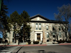
Live OakSilver, Copper, GoldUnknown
Lucas MineGold, Copper, TungstenPast Producer1885
San PedroCopper, Gold, SilverProducer1889
San Pedro MineCopper, Gold, Silver, TungstenPast Producer1835, 1845, 1982
Shamrock MineCopper, TungstenPast Producer
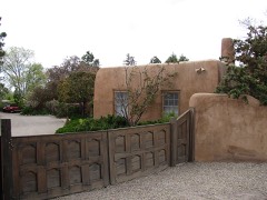
Tip Top MineMicaPast Producer1955, 1956, 1957
Tom Payne MineLead, Zinc, Silver, CopperPast Producer1879, 1885
CarnahanManganesePast Producer1955
La CienegaManganesePast Producer1950
La Cienega Manganese DepositManganeseOccurrence1940
Santa Fe Manganese DistrictManganesePast Producer1917
Black Hornet ProspectZinc, LeadProspect
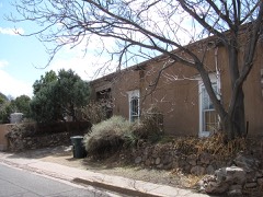
Mina Del TerraZinc, LeadPast Producer
Tom Payne MineZinc, LeadPast Producer
Hiser-Moore ClaimsUraniumOccurrence
Hubbard ProspectUraniumProspect
La MajadaUraniumUnknown
MarionUraniumUnknown
RogersUraniumOccurrence
San Jose No 13 ClaimUraniumUnknown
Shaw No 2 ClaimUraniumOccurrence
Andrews TunnelLead, ZincProspect
Armington MineLead, Zinc, CopperPast Producer1895
Bottom Dollar ProspectLead, Zinc, CopperProspect
CundiyoIronOccurrence
Fuzzy Jim ClaimIronProspect
KennedyIronPast Producer
Kennedy MineIronPast Producer1900
Las VegasIronPast Producer
Pennsylvania MineLead, ZincPast Producer
Unnamed Iron DepositsIronOccurrence
Fairview Lode MineCopper, SilverOccurrence1910
Gold StandardGold, SilverUnknown
HummingbirdGold, SilverOccurrence
Ortiz ProjectGold, SilverPlant1833, 1980
St LukeGold, SilverUnknown
St PaulGold, SilverUnknown
Jones MineCopperUnknown
KunklinCopperProspect
Marshall Bonanza MineCopperPast Producer
Mt. Chalchihuitl MineCopperPast Producer1951
Paytiamo DepositCopperOccurrence1942
PaytianoCopperProspect
Copar Guaje Canyon MinePumiceProducerPumice
Copar MillPumiceProducer
Copar MinePumiceProducer
La Cieniga ScoriaPumiceProducer
North Red BirdPumiceProducer
Red BirdPumiceProducer
Twin HillsPumiceUnknown
Unnamed Cinder PitPumiceUnknown
Unnamed Cinder PitsPumiceUnknown
Unnamed Pumice MinePumiceUnknown
White Eagle Pumice Mine 1PumiceUnknown
White Eagle Pumice Mine 2PumiceUnknown
White Eagle Pumice Mine 3PumiceUnknown
BentonGoldPast Producer
Candelaria MineGoldPast Producer1867, 1875, 1939
Chora Canyon PlacerGoldUnknown
Colorado PlacerGoldUnknown
DoloresGoldPast Producer
Golden PlacerGoldPast Producer
Grant 1-3 ClaimsGoldUnknown
Gypsy QueenGoldUnknown
New PlacersGoldPast Producer1839, 1935
New PlacersGoldPast Producer1839
Old PlacersGoldPast Producer1828, 1940
Old PlacersGoldPast Producer1828
Old ReliableGoldPast Producer
San LazarusGoldOccurrence
San Lazarus 1-4 ClaimsGoldPast Producer
Sun Flower PlacerGoldUnknown
Yellow Pearl PlacerGoldUnknown
Bassett PitSand and Gravel, ConstructionProducerSedimentary
Blotter Construction Co. PitSand and Gravel, ConstructionProducerSedimentary
King PitSand and Gravel, ConstructionPast ProducerSedimentary
Materials PitSand and Gravel, ConstructionUnknown
Materials PitsSand and Gravel, ConstructionUnknown
Santa Fe PitSand and Gravel, ConstructionProducerSedimentary
Sun and Soil Inc. PitSand and Gravel, ConstructionProducerSedimentary

Town by town, in the county's histories

6,487 words

The part of each published history that is about one town: 1 chapter, each reproduced complete.

TownChapter FromLength
Santa FeSanta Fé County: The Heart of New Mexico, Rich in History and ResourceSanta Fé County: The Heart of New Mexico, Rich in History and Resources (1906)6,487 words

Every populated place in the county

73

Named settlements recorded in the Geographic Names Information System, each with the topographic sheets covering it. Villages, hamlets and abandoned places alike. Each is shown with the nearest named watercourse or landform and the survey quadrangle it falls on. The 2 places that were also surveyed for fire insurance come first, with the number of atlases and photographs held for them.

The vanished settlements of Santa Fe County: the places named above that are no longer on the map.

Recorded here

Santa Fe, New Mexico

23 topographic sheets and 10 fire insurance atlases, 1883 to 1948

Cerrillos, New Mexico

17 topographic sheets and 4 fire insurance atlases, 1893 to 1902

Everything this county holds

The complete index, with nothing left out. Each of these is a separate record with its own page: a federal survey report, or the case file that argued a property on to the National Register. Both are public domain and reproduced word for word.

Surveyed structures

34 structures

The vanished settlements of Santa Fe County, the places these records name that are no longer on the map.

Provenance

  • Topographic sheets. USGS Historical Topographic Map Collection, county index, measured from the bulk metadata.
  • Fire insurance maps. Library of Congress Sanborn collection, faceted to this county.
  • Photographs. Each place queried individually against the Library of Congress Prints and Photographs search.
  • Wildfire. Short, Karen C. 2022. Spatial wildfire occurrence data for the United States, 1992-2020 [FPA_FOD_20221014]. 6th Edition. Fort Collins, CO: Forest Service Research Data Archive. https://doi.org/10.2737/RDS-2013-0009.6 Collected with United States Government funding and usable without additional permissions or fees.
  • Mines and quarries. USGS Mineral Resources Data System (MRDS) https://mrdata.usgs.gov/mrds/ A work of the United States government, no copyright under 17 U.S.C. 105.
  • Storms. NOAA National Centers for Environmental Information, Storm Events Database https://www.ncei.noaa.gov/stormevents/ A work of the United States government, no copyright under 17 U.S.C. 105. Narratives are quoted verbatim from the National Weather Service report and are not edited or summarised.