 Block
Belen, New Mexico
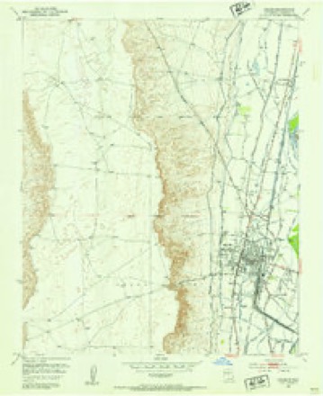
10 topographic sheets cover this place, the earliest surveyed in 1952 and the latest in 1991. It stands in the Belen census division. It lies in ZIP code area 87002. The Survey maps it on the Belen quadrangle. 7,360 people lived here at the 2020 count. It stands 4,810 feet above sea level.
Research this city
On record in Belen
Buildings and businesses the archive holds for this place. Each opens its own page, with the source record it came from.
On the National Register 4 records
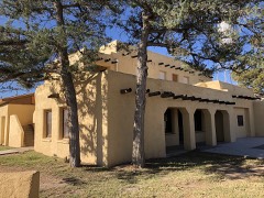 Belen City Halllisted 2019
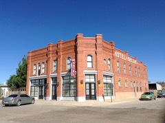 Belen Hotellisted 1980
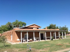 Felipe Chaves Houselisted 1980
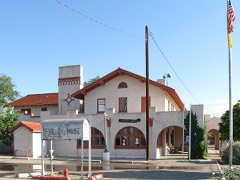 Belen Harvey Houselisted 1983
Surveyed buildings and structures 1 record
- Chavez House, Chihuahua, Santa Fe Trail, Belenfederal building survey, 2 photographs
Population over time
3 figuresBelen grew from 6,900 to 7,360 between 2000 and 2020. These are the recorded population figures Wikidata holds for this place, reached through the Geographic Names Information System number this page is keyed on rather than by name, so they belong to this place and not to another of the same name. Most are census counts, but not all are: an early figure may be a founding or settlement estimate, and an estimate published within five years of a census is left out. The change column is computed, and is left blank where more than 20 years separate a figure from the one before it, because a gap that long is not a change between two counts.
| Year | People | Change |
|---|---|---|
| 2000 | 6,900 | |
| 2010 | 7,269 | +369 (+5%) |
| 2020 | 7,360 | +91 (+1%) |
Topographic sheets covering this place
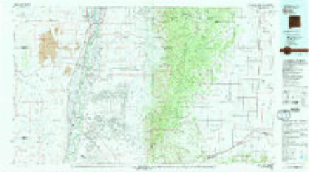
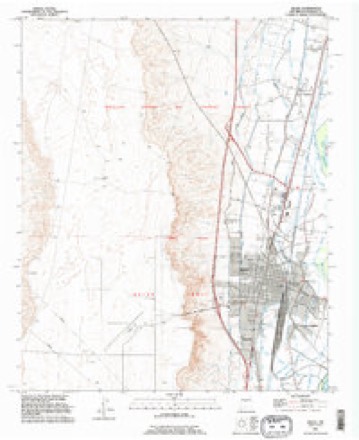
6 surveys from 10 printed sheetsMatched by testing this settlement's coordinate against the published boundary of every sheet in the United States Geological Survey's historical collection. Each opens the scanned sheet at the Survey.
- 1952 USGS Belen quadrangle1:24000, 3 printings
- 1954 USGS Socorro quadrangle1:250000, 2 printings
- 1958 USGS Socorro quadrangle1:250000
- 1962 USGS Socorro quadrangle1:250000
- 1979 USGS Belen quadrangle1:100000, 2 printings
- 1991 USGS Belen quadrangle1:24000
Photographs
8 of 17 photographs shown, 1943 to 2021Taken for the Office of War Information and the Farm Security Administration, who photographed the country between 1935 and 1944. Works of United States government photographers, with no known restriction on use. Each opens its catalogue record.
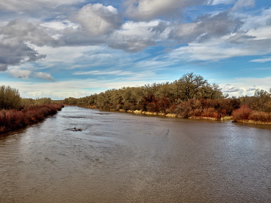
Highsmith, Carol M, 2021. Library of Congress
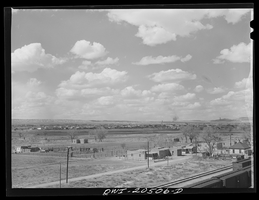
Delano, Jack, 1943. Library of Congress
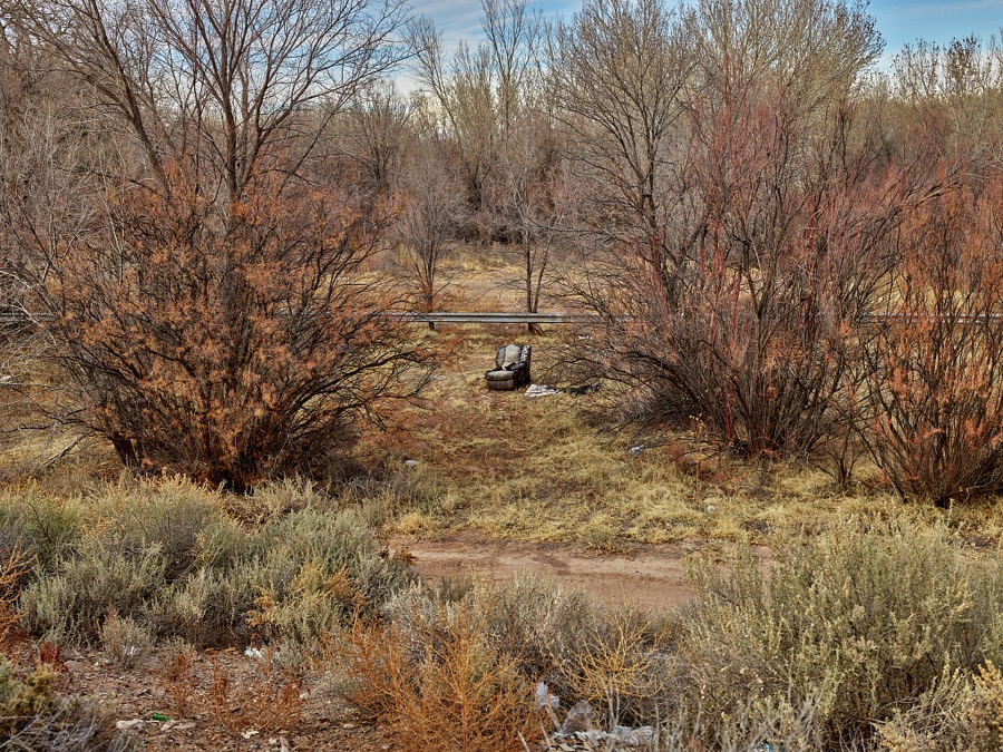
Highsmith, Carol M, 2021. Library of Congress
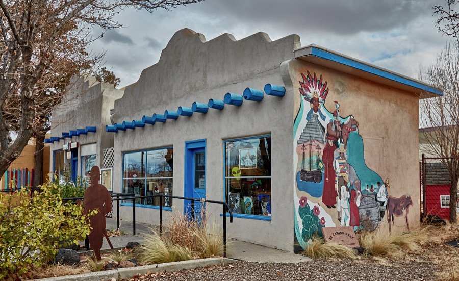
Highsmith, Carol M, 2021. Library of Congress
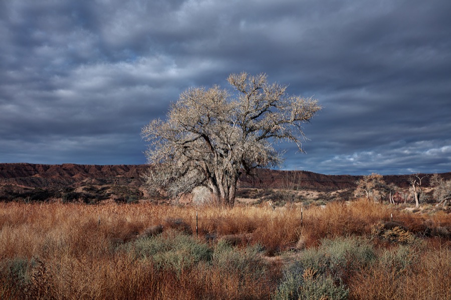
Highsmith, Carol M, 2020. Library of Congress
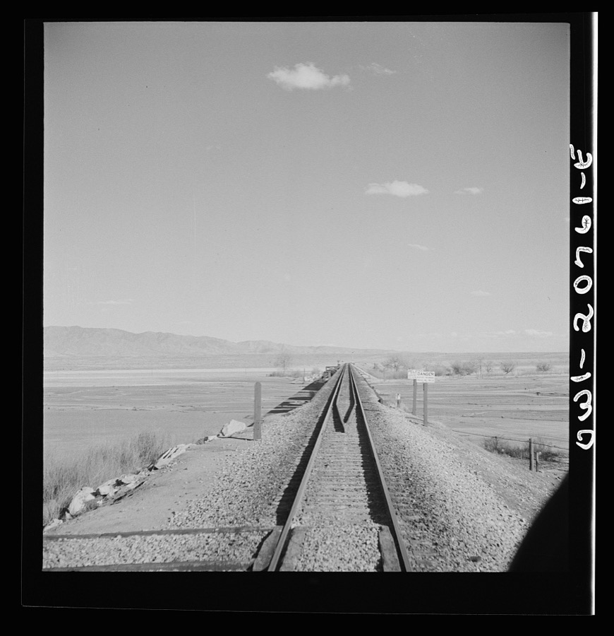
Delano, Jack, 1943. Library of Congress
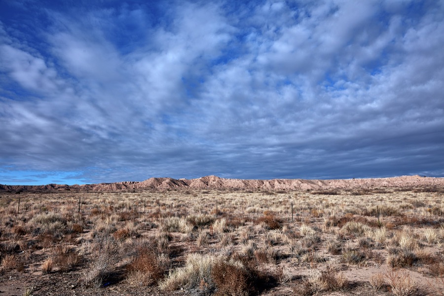
Highsmith, Carol M, 2020. Library of Congress
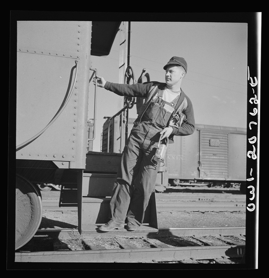
Delano, Jack, 1943. Library of Congress
Every photograph of Valencia County
Fires near this place
395 since 1992Regional context, not property-specific evidence. The federal wildfire occurrence database lists 395 fires within 5 miles of Belen between 1992 and 2020, burning about 1,965 acres in total. 7 started naturally. 13 were recorded as arson. Distance is straight-line from the map coordinates, so a fire counted here may appear on a neighbouring settlement's page as well.
| Reported cause | Fires |
|---|---|
| Debris and open burning | 183 |
| Missing data/not specified/undetermined | 151 |
| Equipment and vehicle use | 18 |
| Arson/incendiarism | 13 |
| Smoking | 9 |
| Power generation/transmission/distribution | 8 |
| Natural | 7 |
| Misuse of fire by a minor | 2 |
| Railroad operations and maintenance | 1 |
| Fireworks | 1 |
| Recreation and ceremony | 1 |
| Other causes | 1 |
The most recent of them, most recent first, with the day each was reported and the service that recorded it.
| Date | Cause | Size | Reported by | Name on the report |
|---|---|---|---|---|
| 7 September 2011 | Natural | under an acre | New Mexico State Forestry Division | ANIMAL |
| 14 September 1997 | Missing data/not specified/undetermined | 2.0 acres | New Mexico State Forestry Division | SERAFIN |
| 14 September 1997 | Missing data/not specified/undetermined | under an acre | New Mexico State Forestry Division | ALLSUPS |
| 1 September 2012 | Missing data/not specified/undetermined | 8.0 acres | New Mexico State Forestry Division | GIANT |
| 7 August 2019 | Equipment and vehicle use | under an acre | Bernalillo District | 20-60380159X |
| 5 August 1992 | Natural | under an acre | Albuquerque District Office | JUG TANK |
| 29 August 1995 | Missing data/not specified/undetermined | 3.0 acres | New Mexico State Forestry Division | RAIL |
| 23 August 2020 | Missing data/not specified/undetermined | under an acre | Bernalillo District | 21-60710236X |
Settlements close enough to share some of these fires:
Mines and quarries near this place
6 within 5 milesRegional context, not property-specific evidence. The federal mineral resources record lists 6 workings within 5 miles of Belen: 5 unknowns, 1 producer. 1 still produces. What was taken out: Sand and Gravel, Construction. Distance is straight-line from the map coordinates, so a quarry counted here may appear on a neighbouring settlement's page as well.
| Where | Site | Commodity | Status | Recorded |
|---|---|---|---|---|
| Materials Pit 66-1-F | Sand and Gravel, Construction | Unknown | ||
| Materials Pit 64-1-S | Sand and Gravel, Construction | Unknown | ||
| Tome Pit | Sand and Gravel, Construction | Producer | Sedimentary | |
| Unnamed Pit | Sand and Gravel, Construction | Unknown | ||
| Unnamed Pit | Sand and Gravel, Construction | Unknown | ||
| Unnamed Pit | Sand and Gravel, Construction | Unknown |
Storms near this place
27 since 1996Regional context, not property-specific evidence. The National Weather Service names Belen in 27 storm reports between 1996 and 2025: 11 thunderstorm wind, 7 flash flood, 6 hail, 1 dust devil. No death or injury is recorded in these reports. Each account below is quoted exactly as the forecast office filed it, from the NOAA Storm Events Database, and each date opens the federal record of that event.
| When | Event | Place named | Harm | What the report says |
|---|---|---|---|---|
| September 2017 | Flash Flood | Belen | $7,500,000 | Retention ponds in Belen overflowing into neighborhoods on west side of Belen. Widespread street flooding in town. Travel along Interstate 25 becoming very difficult as water is ponding along the highway. |
| August 2008 | Hail | Belen | $1,000,000 | Golf ball size hail pounded the Belen area. Dozens of vehicles were damaged and numerous building had windows broken. Several street lights were damaged and trees were stripped of leaves. |
| July 2006 | Flash Flood | Belen | $500,000 | no account filed |
| October 2004 | Hail | Belen | $300,000 | no account filed |
| July 2018 | Flash Flood | Belen | $200,000 | Heavy rainfall in Belen led to a levee failure along Hansen Road. Several homes and vehicles were flooded. Damage amounts are estimated. |
| October 2004 | Hail | Belen | $200,000 | no account filed |
| September 1998 | Thunderstorm Wind | Belen | $100,000 | no account filed |
| June 1996 | Thunderstorm Wind | Belen | $30,000 | no account filed |
| June 2003 | Dust Devil | Belen | $15,000 | A strong dust devil swept away part of the roof and a drive-through carport at a Belen restaurant. |
| August 2008 | Thunderstorm Wind | Belen | $5,000 | Thunderstorm winds downed power lines and combined with large hail to break windows throughout Belen. |
| July 1998 | Flash Flood | Belen | $3,000 | Heavy rain of 2.00 inches in about an hour produced widespread street flooding and minor flood damage to several homes and businesses in Belen. |
| July 2018 | Thunderstorm Wind | Belen | $500 | At least two large trees were downed in Belen from high winds, small hail, and torrential rainfall. One of these trees crushed a metal fence. Damage amount is a rough estimate. |
| August 2025 | Thunderstorm Wind | Belen | - | The Belen Regional Airport measured a severe wind gust of 61 mph from a non-thunderstorm convective dry downburst from virga showers in the area. |
| June 2025 | Flash Flood | Belen | - | Debris and water washouts along I-25 which was shut down for a period of time at mile marker 190. This required a bulldozer to clear the debris the following day. |
| July 2024 | Thunderstorm Wind | Belen | - | Outflow from approaching thunderstorms produced a 59 mph wind gust at the Belen Regional Airport. |
| October 2022 | Funnel Cloud | Belen | - | A social media post on Facebook showed a well-defined funnel cloud over the west mesa near Belen, NM on October 8, 2022. Time and location are estimated from the Facebook post. |
| June 2020 | Thunderstorm Wind | Belen | - | A thunderstorm moving rapidly north through the Belen area produced a peak wind gust up to 66 mph. No significant damage to trees and power lines was reported with the passage of this storm. |
| May 2019 | Thunderstorm Wind | Belen | - | A virga bomb near Belen produced roof damage to a home. Damage amounts are estimated with no specific details on the extent of damages. |
| August 2018 | Hail | Belen | - | Hail up to nickel and quarter size in Belen. |
| October 2017 | Flash Flood | Belen | - | Roadways beneath Interstate 25 flooded out in Belen. |
| April 2016 | Thunderstorm Wind | Belen | - | Belen airport. |
| October 2015 | Hail | Belen | - | Picture forwarded through local media showing dime to nickel size hail. |
| May 2012 | Hail | Belen | - | Hail piled up 3 to 4 inches deep Belen. |
| August 2008 | Flash Flood | Belen | - | Hail stripped trees of leaves which caused clogged storm drains. Runoff from associated heavy rain was unable to drain properly. This resulted in flooding of some city streets with water one to two feet deep. |
| August 2004 | Tornado (F0) | Belen | - | A small landspout was photographed near Belen as small thunderstorms with other dry microbursts moved through the area during late afternoon. The landspout which resembled a strong dust devil more than a weak non-supercell tornado scattered loose objects and overturned one unoccuppied RV camper. |
| September 2013 | Thunderstorm Wind | Belen | - | no account filed |
| May 1999 | Thunderstorm Wind | Belen | - | no account filed |
Newspapers printed here
1,519 digitised pages2 papers published in this town, digitised by the Library of Congress and free to read: 513 issues, 1,519 pages. Every page is searchable, so a name or a street can be looked for directly in what the town printed about itself at the time.
| Newspaper | Published |
|---|---|
| El Hispano-Americano | 19?? |
| Belen News | 1912 to 1947 |
What the paper printed
15,386 wordsFront pages of the local paper, read from the Library of Congress scans: 7 issues spread across its run from 1913 to 1921, 15,386 words in total. Each is reproduced on its own page, exactly as the recogniser returned it.
These pages read less well than anything else here, and the number is worth stating: about three words in four come through cleanly, against nine in ten for the building records. An 1896 broadsheet sets eight-point type in seven columns on microfilm, which is the hardest thing in this archive to read by machine. We tested our own recognisers against the Library's and they were not better, so the Library's text is what appears, with the wholly unreadable columns removed. Read it as a guide to what the paper covered, and follow the link to the scan before quoting anything.
| Issue | Paper | Length |
|---|---|---|
| 1913-03-27 | Belen News | 3,096 words |
| 1913-06-12 | Belen News | 2,542 words |
| 1913-09-04 | Belen News | 3,101 words |
| 1913-11-27 | Belen News | 2,673 words |
| 1921-12-24 | Belen News | 3,271 words |
| 1918-08-24 | El Hispano-Americano | 529 words |
| 1918-09-05 | El Hispano-Americano | 174 words |
Nearest settlements
The eight closest, with where each one stands in the county. Distances are straight-line, computed from the Geographic Names Information System coordinates.
| Map | Place | Distance | Sheets |
|---|---|---|---|
| Los Trujillos | 1.4 miles | 10 | |
| Bacaville | 1.4 miles | 10 | |
| Azul | 2.4 miles | 10 | |
| Rio Communities | 2.4 miles | 10 | |
| La Constancia | 2.4 miles | 10 | |
| Pueblitos | 2.7 miles | 10 | |
| Rio Grande Estates | 3.4 miles | 10 | |
| Jarales | 3.5 miles | 10 |
Elsewhere
Matched on this settlement's Geographic Names Information System number rather than its name, so it cannot be a different place of the same name in another state.
| Wikipedia article on Belen | An encyclopaedic summary. Its text is share-alike, so it is linked here rather than copied. |
| Wikidata item Q815390 | The structured record the population and elevation above come from. Public domain (CC0). |
Provenance
This settlement is recorded in the Geographic Names Information System as feature 923557. The sheet list is computed by point-in-boundary test against the United States Geological Survey's historical topographic inventory. Both are works of the United States government and carry no copyright under 17 U.S.C. 105.
Wildfire. Short, Karen C. 2022. Spatial wildfire occurrence data for the United States, 1992-2020 [FPA_FOD_20221014]. 6th Edition. Fort Collins, CO: Forest Service Research Data Archive. https://doi.org/10.2737/RDS-2013-0009.6 Collected with United States Government funding and usable without additional permissions or fees.
Mines and quarries. USGS Mineral Resources Data System (MRDS) https://mrdata.usgs.gov/mrds/ A work of the United States government, no copyright under 17 U.S.C. 105.
Storms. NOAA National Centers for Environmental Information, Storm Events Database https://www.ncei.noaa.gov/stormevents/ A work of the United States government, no copyright under 17 U.S.C. 105. Narratives are quoted verbatim from the National Weather Service report and are not edited or summarised.