New Mexico within the United StatesValencia County within New Mexico
Explore by year
What the record shows
1 place in this county was surveyed for fire insurance: Belen, between 1909 and 1942.
3 fire insurance atlases survive for the county. Topographic coverage is national; fire insurance survey reached only incorporated places with something worth insuring.
400 topographic sheet readings cover the county's settlements.
18 properties here are on the National Register of Historic Places: 13 buildings, 3 districts and 2 sites.
7 of the 18 listings were added during the 1970s.
The Geographic Names Information System records 42 populated places in this county; 40 are covered by at least one topographic sheet.
Photographs
41 photographs, 1935 to 2021
Taken for the Office of War Information and
the Farm Security Administration, who photographed the country between
1935 and 1944. Works of United States government photographers, with no
known restriction on use. Each opens its catalogue record.
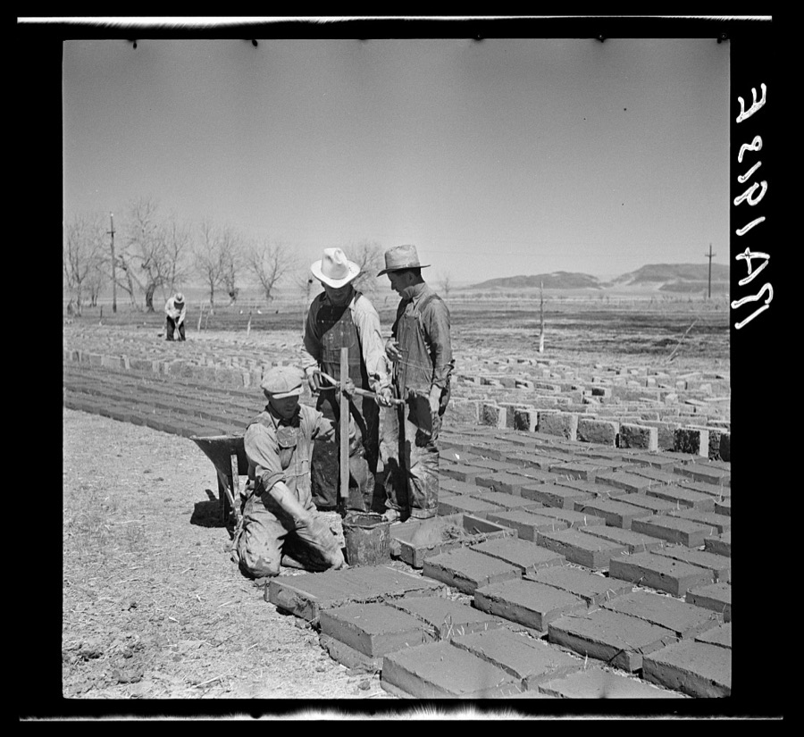
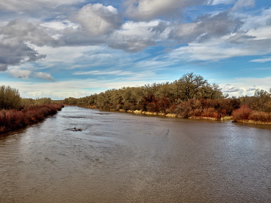
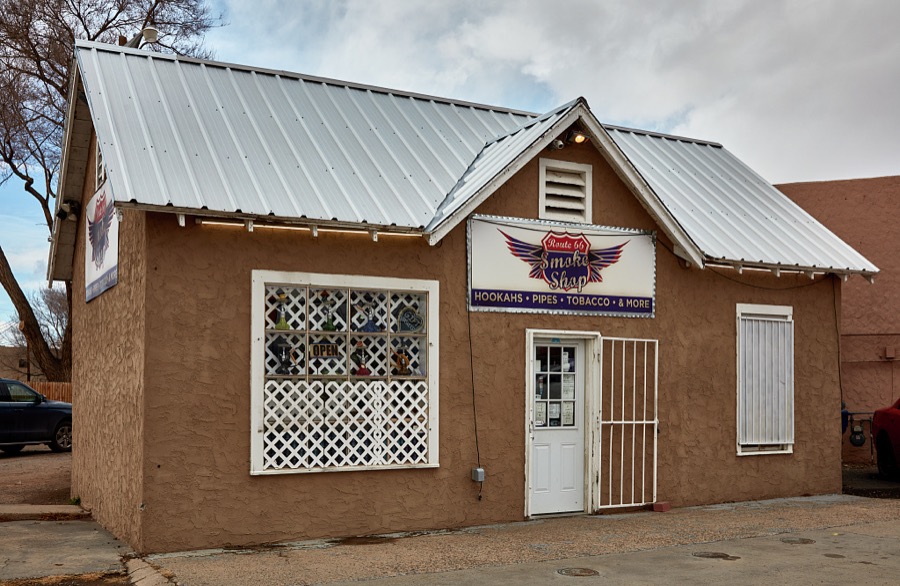
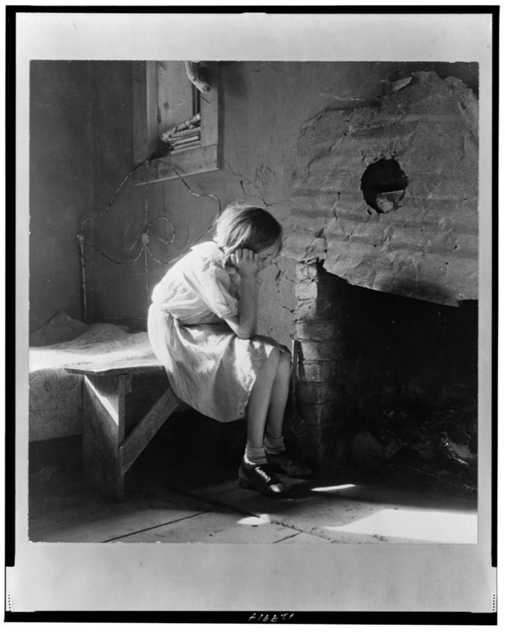
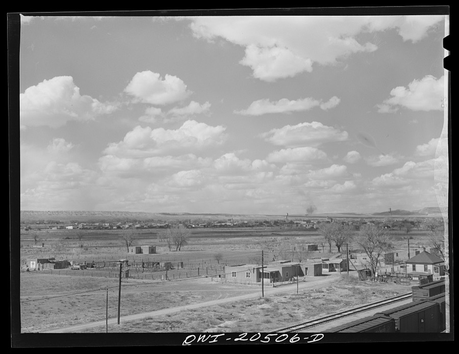
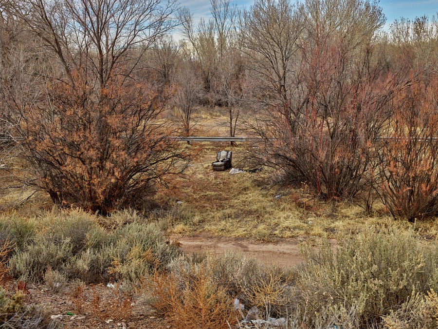
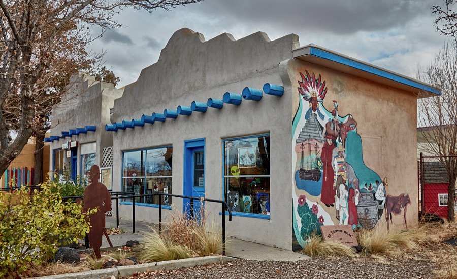
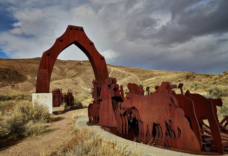
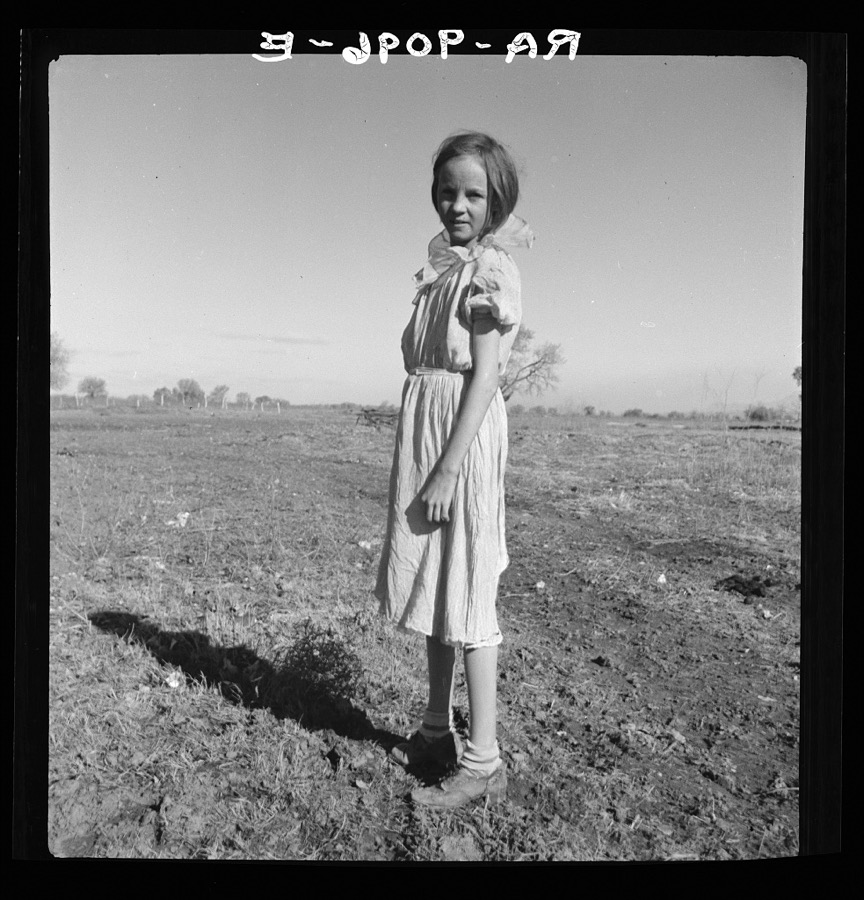
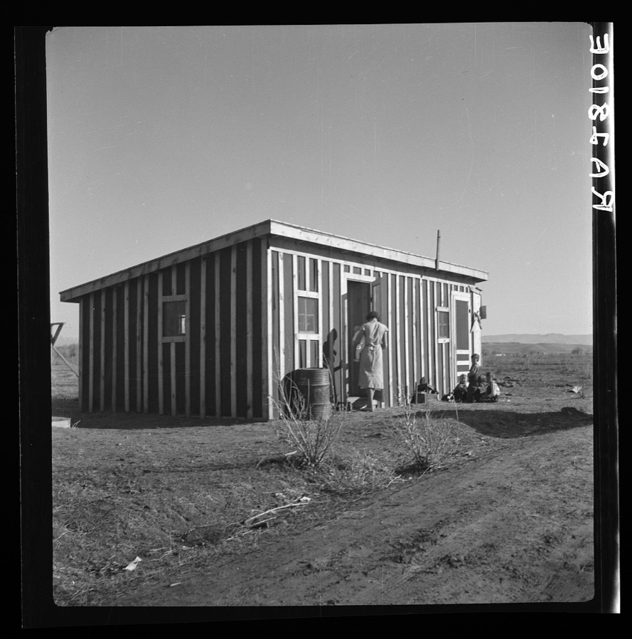
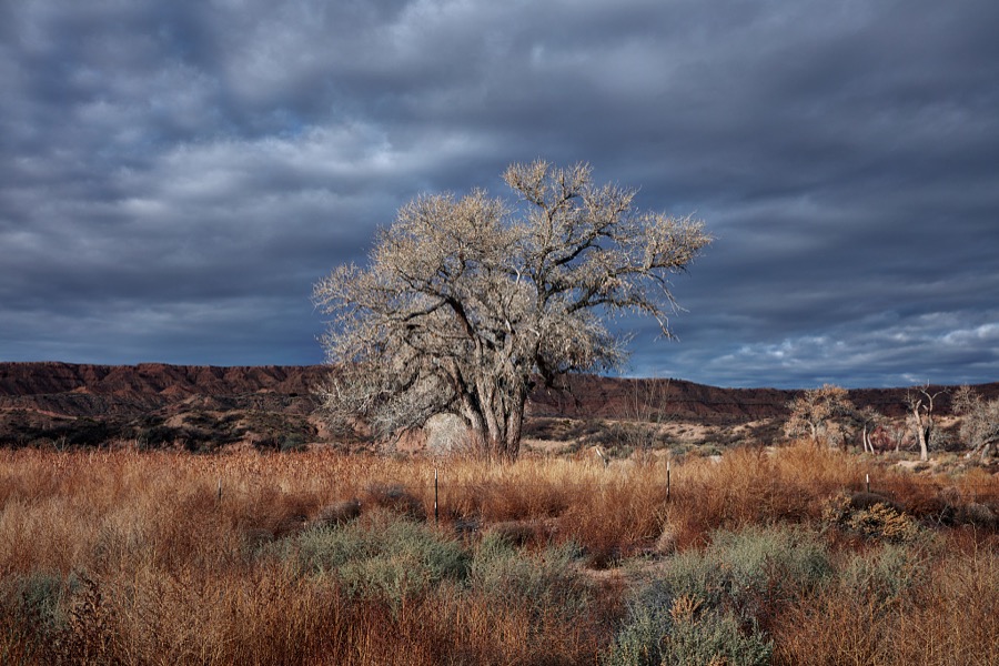
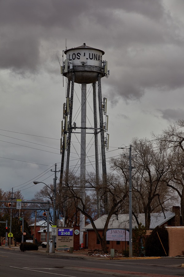
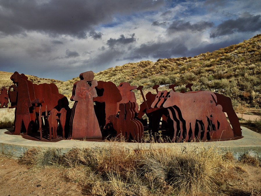
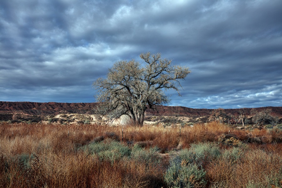
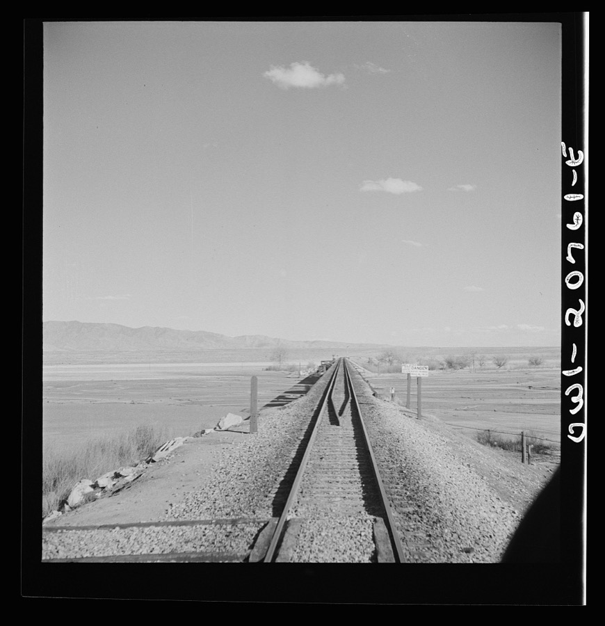
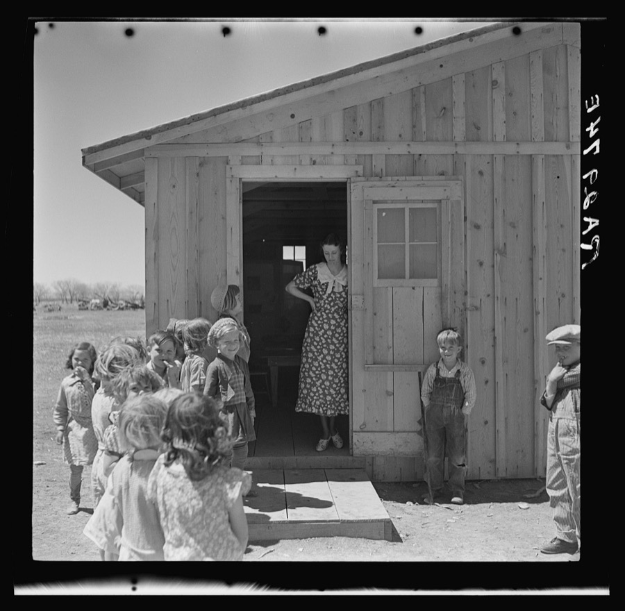
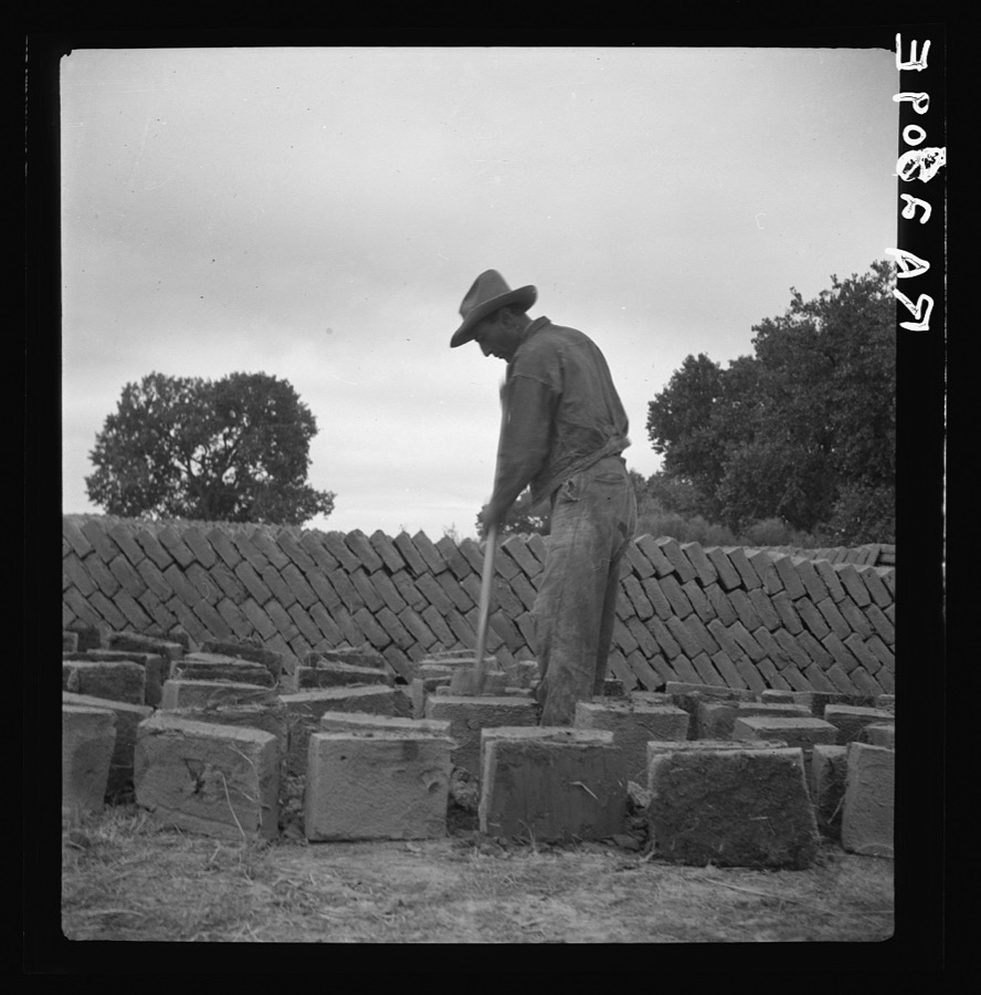
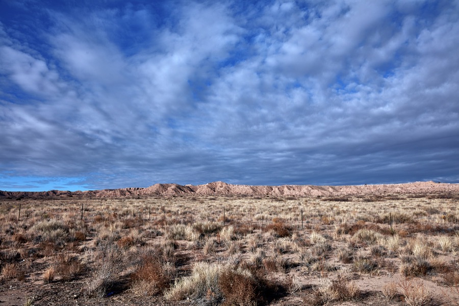
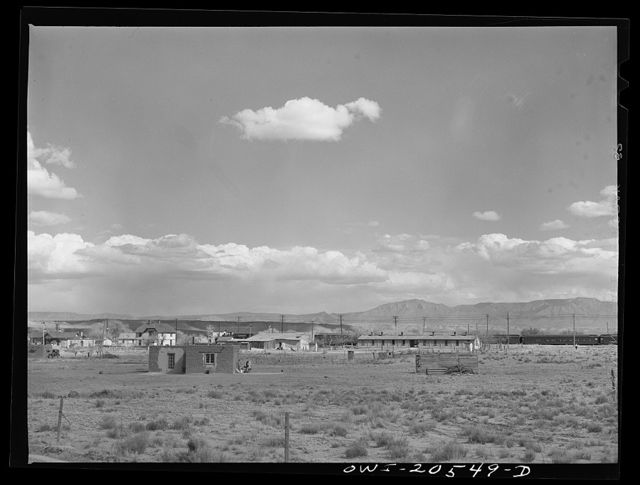
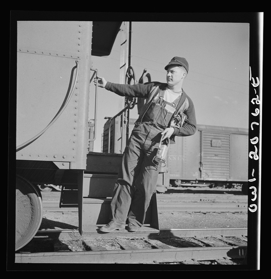
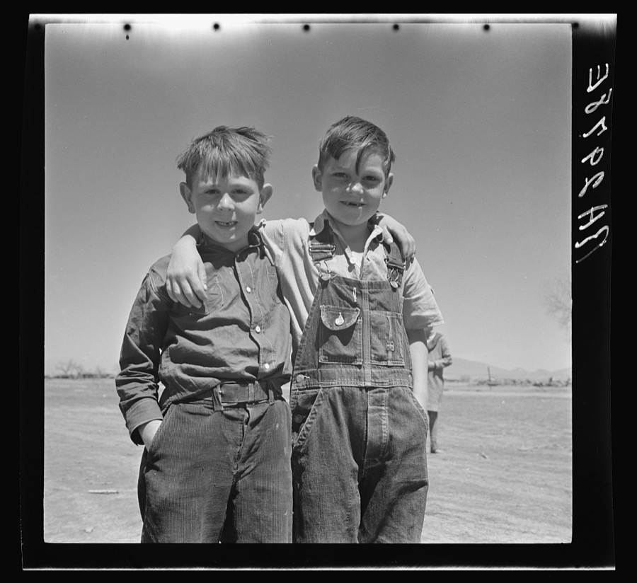
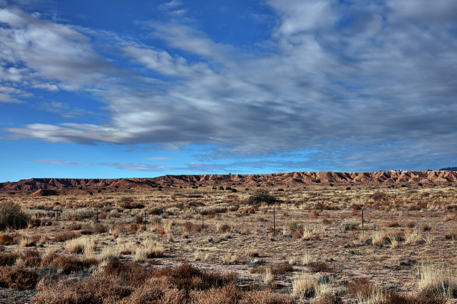
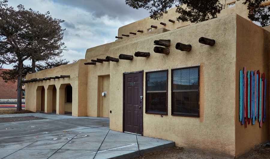
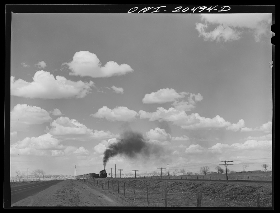
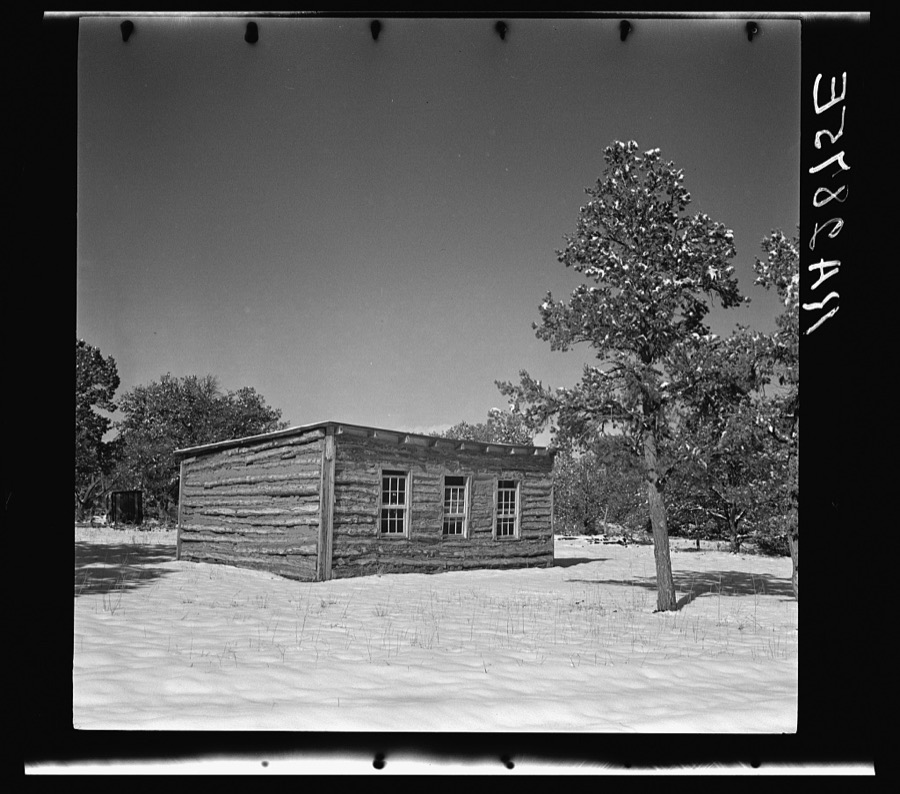
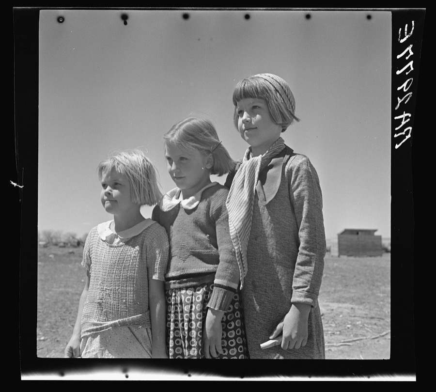
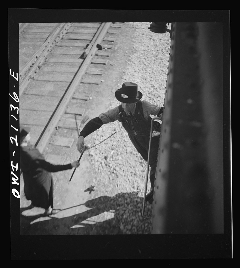
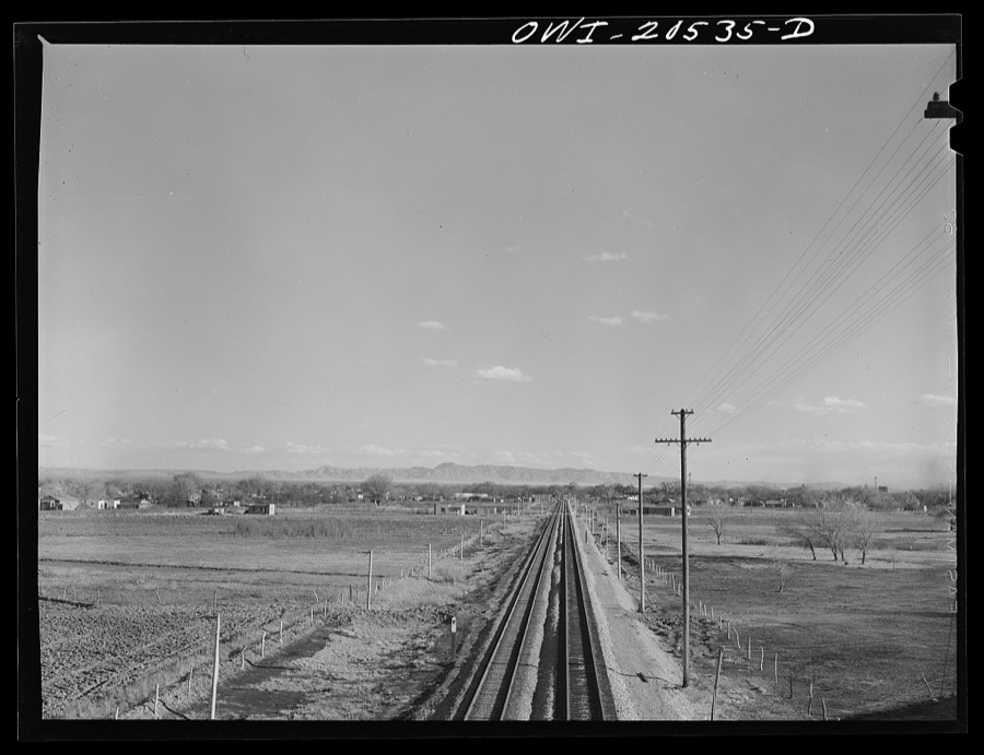
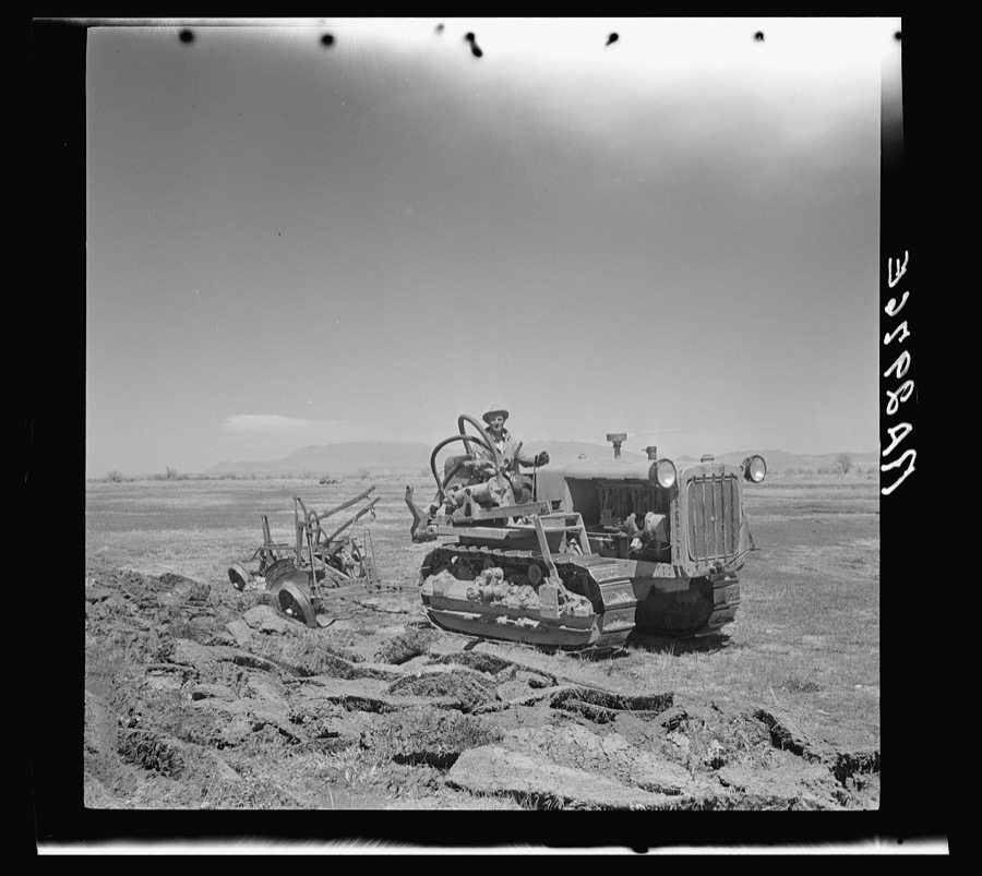
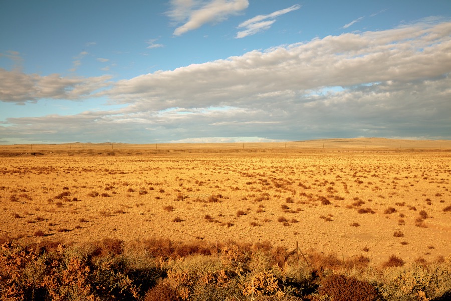
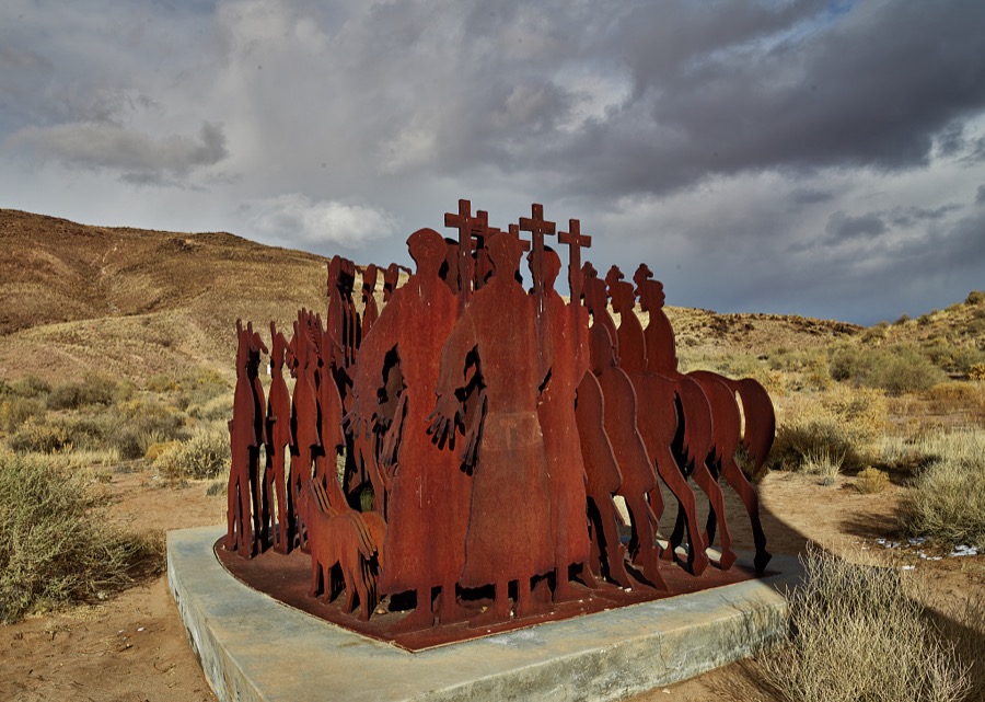
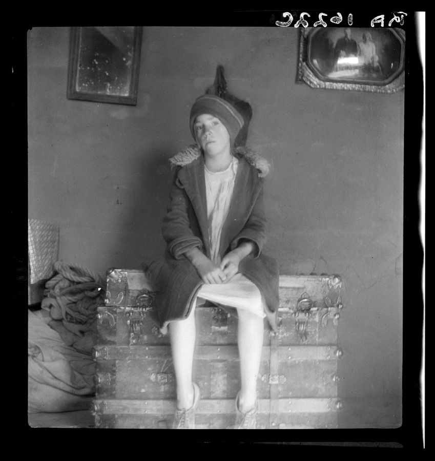
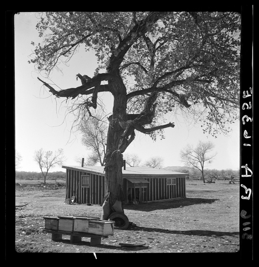
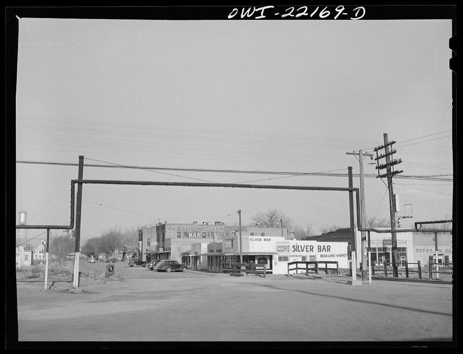
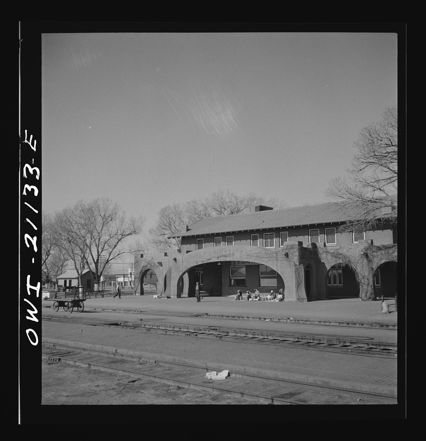
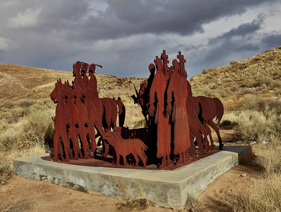
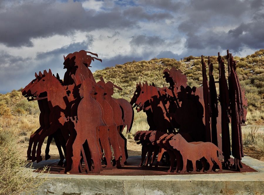
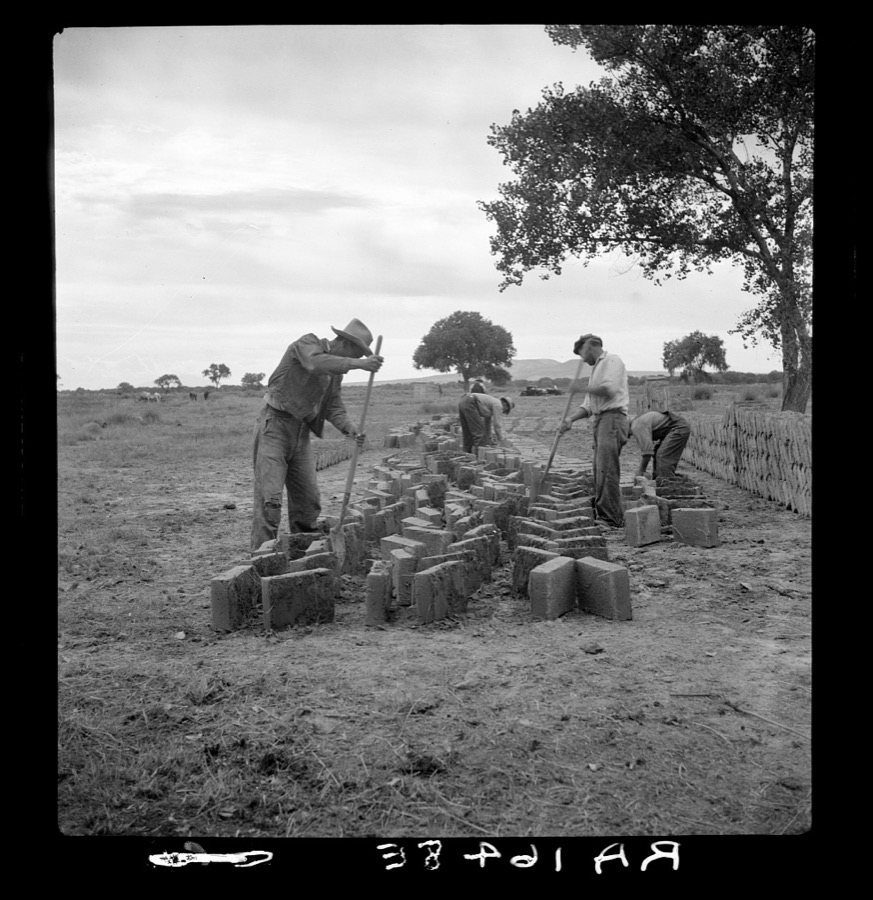
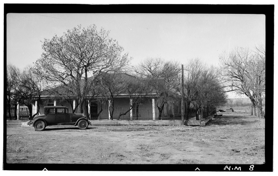
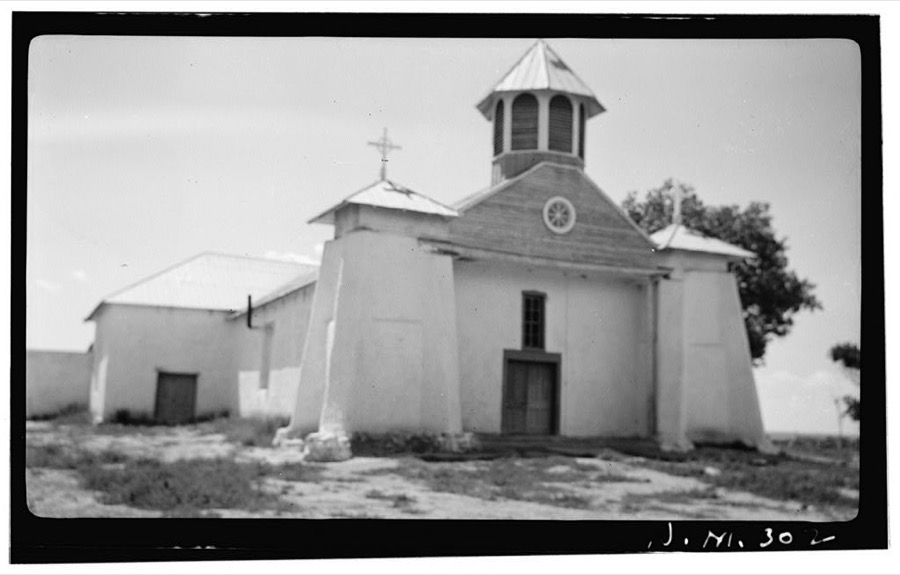
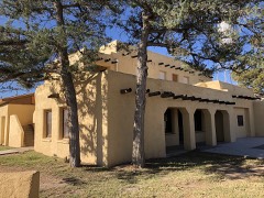
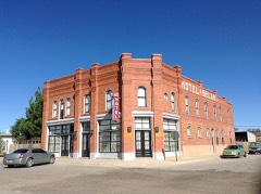
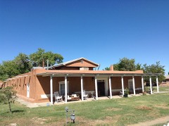
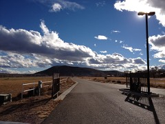
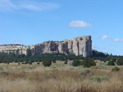
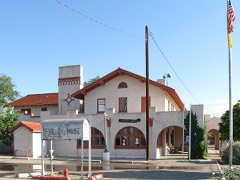
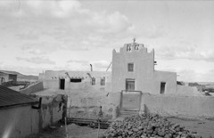
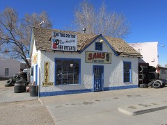
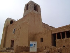
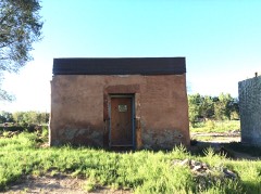
Making adobe brick. Bosque Farms, New Mexico Rothstein, Arthur, 1936. Library of CongressWintertime view of the Rio Grande River near Belen in central New Mexico, which also is somewhat past midway on the river's course from its start as a trickle in the Colorado Rocky Mountains to its last, spectacular run as a wide stream that forms a famous border between Texas and Mexico to the south Highsmith, Carol M, 2021. Library of CongressThe humble building in the village of Los Lunas, the seat of Valencia County, New Mexico, south of Albuquerque, is now (as of 2021) a tobacco and hookah shop that doesn't look historic Highsmith, Carol M, 2021. Library of CongressResettled farm child from Taos Junction to Bosque Farms project. New Mexico Lange, Dorothea, photographer, 1935. Library of CongressBelen, New Mexico. General view of the town Delano, Jack, 1943. Library of CongressThe proverbial middle of nowhere along the Rio Grande River near Belen in central New Mexico would seem to be an unlikely place to plop down on one's recliner and relax Highsmith, Carol M, 2021. Library of CongressThe Belen Art League gallery and gift shop in the central New Mexico town of Belen Highsmith, Carol M, 2021. Library of CongressArtist Armando Alvarez Compean's 1997 La Puerta Del Sol metal-art sculpture grouping below Tome near the settlement of Tome in New Mexico's Rio Grande River floodplain Highsmith, Carol M, 2021. Library of CongressResettled child of Bosque Farms, New Mexico. She herds cows for neighboring families for five cents per day Lange, Dorothea, photographer, 1935. Library of CongressTemporary housing for the settlers. Bosque Farms project, New Mexico Lange, Dorothea, photographer, 1935. Library of CongressStorm clouds rise over the landscape near Belen in central New Mexico Highsmith, Carol M, 2020. Library of CongressThis water tower in the village of Los Lunas, the seat of Valencia County, New Mexico, south of Albuquerque, is old, but not too old be considered too fine a site for an array of cellphone transmitters Highsmith, Carol M, 2021. Library of CongressArtist Armando Alvarez Compean's 1997 La Puerta Del Sol metal-art sculpture grouping below Tome near the settlement of Tome in New Mexico's Rio Grande River floodplain Highsmith, Carol M, 2021. Library of CongressStorm clouds rise over the landscape near Belen in central New Mexico Highsmith, Carol M, 2020. Library of CongressBelen, New Mexico. Going across the Rio Grande River Valley on the Atchison, Topeka and Santa Fe Railroad between Vaughn and Belen, New Mexico. There is a drop of over 1600 feet in elevation Delano, Jack, 1943. Library of CongressTemporary schoolhouse. Bosque Farms, New Mexico Rothstein, Arthur, 1936. Library of CongressBosque Farms project. Making adobe brick for school and permanent houses. New Mexico Lange, Dorothea, photographer, 1935. Library of CongressScrubby high desert gives way to low, rocky ridges near Belen in central New Mexico Highsmith, Carol M, 2020. Library of CongressLos Lunas, New Mexico. Part of the town. A troop train passing in the background Delano, Jack, 1943. Library of CongressBelen, New Mexico. A brakeman on the Atchison, Topeka and Santa Fe Railroad C.G. Kirkland getting off the caboose Delano, Jack, 1943. Library of CongressSons of resettled farmers. Bosque Farms, New Mexico Rothstein, Arthur, 1936. Library of CongressA fiberglass figure of a teenager, unnamed so far as one can tell, sports a college letterman's sweater emblazoned with an encircled letter T outside the Circle T drive-in restaurant in the central New Mexico town of Belen Highsmith, Carol M, 2021. Library of CongressScrubby high desert gives way to low, rocky ridges near Belen in central New Mexico Highsmith, Carol M, 2020. Library of CongressA Pueblo adobe-style office building in the central New Mexico town of Belen Highsmith, Carol M, 2021. Library of CongressLos Lunas, New Mexico. A westbound Atchison, Topeka and Santa Fe Railroad freight train out of Albuquerque, New Mexico Delano, Jack, 1943. Library of CongressSchool formerly used by children who now attend the new school at Bosque Farms. Taos County, New Mexico Rothstein, Arthur, 1936. Library of CongressDaughters of resettled farmers. Bosque Farms, New Mexico Rothstein, Arthur, 1936. Library of CongressDalies, New Mexico. Conductor C.W. Tevis picking up a message from a woman operator on the Atchison, Topeka and Santa Fe Railroad between Belen and Gallup, New Mexico Delano, Jack, 1943. Library of CongressBelen (vicinity), New Mexico. Atchison, Topeka and Santa Fe coast line track going toward Belen, New Mexico Delano, Jack, 1943. Library of CongressResettled farmer breaking up new land for farming. Bosque Farms, New Mexico Rothstein, Arthur, 1936. Library of CongressRangeland near Los Lunas, south of Albuquerque, New Mexico Highsmith, Carol M, 2020. Library of CongressArtist Armando Alvarez Compean's 1997 La Puerta Del Sol metal-art sculpture grouping below Tome near the settlement of Tome in New Mexico's Rio Grande River floodplain Highsmith, Carol M, 2021. Library of CongressFarm child. This family is now resettled on the Bosque Farms project. New Mexico Lange, Dorothea, photographer, 1935. Library of CongressTemporary home. These buildings to be remodeled later on for barns and outbuildings. Bosque Farms project, New Mexico Lange, Dorothea, photographer, 1935. Library of CongressBelen, New Mexico. Street scene near the Atchison, Topeka, and Santa Fe Railroad depot Delano, Jack, 1943. Library of CongressBelen, New Mexico. The Atchison, Topeka and Santa Fe Railroad reading room Delano, Jack, 1943. Library of CongressArtist Armando Alvarez Compean's 1997 La Puerta Del Sol metal-art sculpture grouping below Tome near the settlement of Tome in New Mexico's Rio Grande River floodplain Highsmith, Carol M, 2021. Library of CongressArtist Armando Alvarez Compean's 1997 La Puerta Del Sol metal-art sculpture grouping below Tome near the settlement of Tome in New Mexico's Rio Grande River floodplain Highsmith, Carol M, 2021. Library of CongressMaking adobe bricks. Bosque Farms project, New Mexico. These bricks are to be used in construction of the new school building Lange, Dorothea, photographer, 1935. Library of CongressChavez House, Chihuahua, Santa Fe Trail, Belen, Valencia County, NM Photographer not recorded. Library of CongressOur Lady of Guadalupe, State Highway 47, Peralta, Valencia County, NM Photographer not recorded. Library of Congress
Places on the National Register
18
Every property in this county listed on the
National Register of Historic Places, with the year it was listed and the
federal nomination document.
Selected from the Digital Public Library
of America's 1 image records catalogued for this county. Every
one shown here carries a public-domain status or a licence that permits
reuse on a site that carries advertising; non-commercial, share-alike
and restricted images are excluded. The selection is spread across the
county's towns (at most eight per town), so no single institution's
bulk upload crowds out the rest. Each opens the holding library's
record, and
the complete set at the
Digital Public Library of America is one click away.
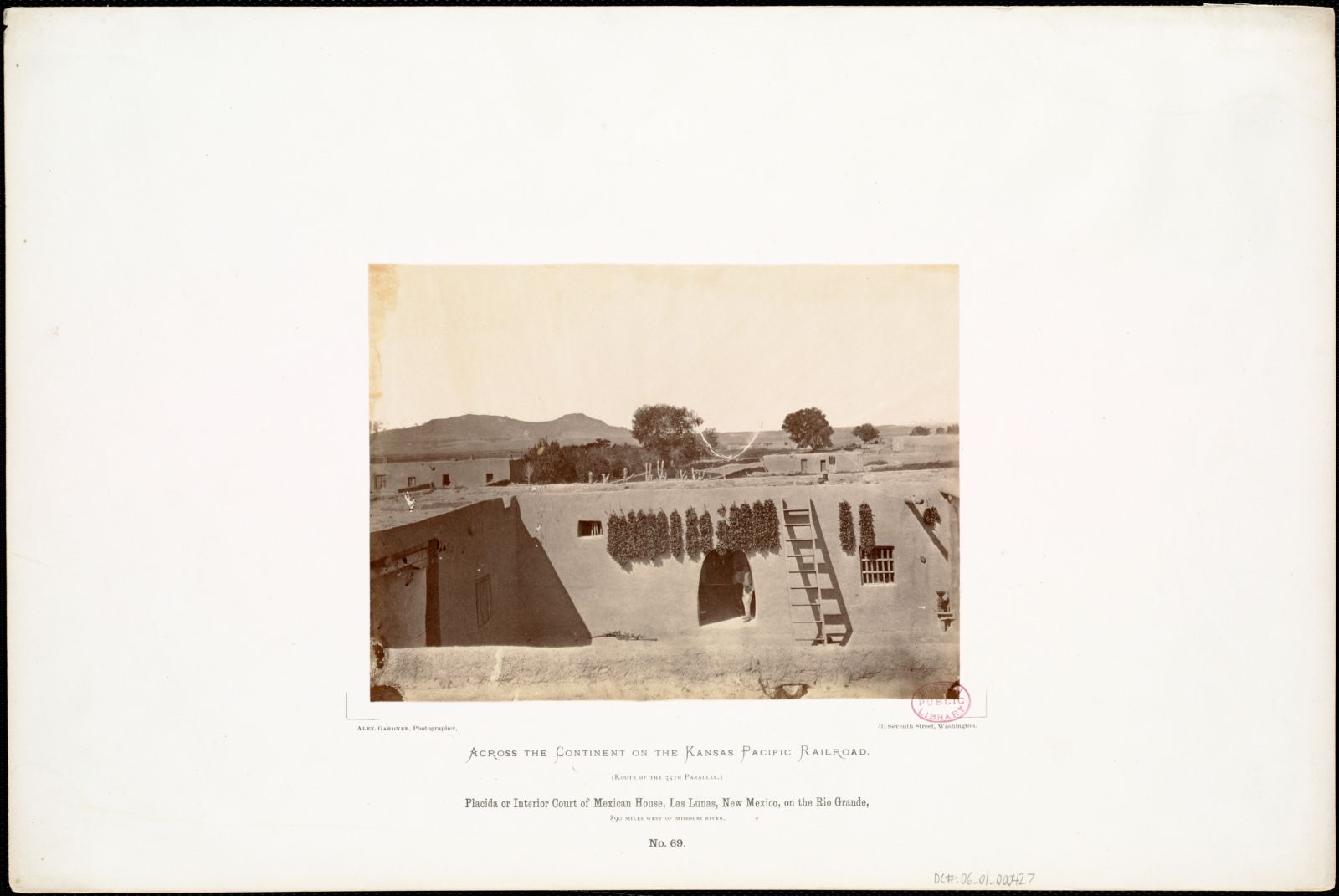
Placida or Interior Court of Mexican House, Las Lunas, New Mexico, on the Rio Grande, 890 miles west of Missouri River.. Gardner, Alexander, 1821-1882, Boston Public Library, via the Digital Public Library of America.
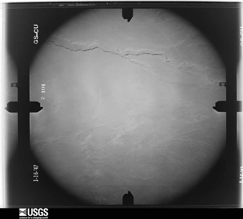
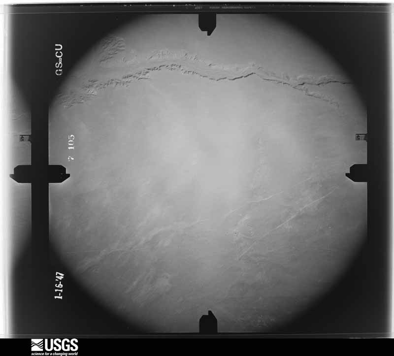
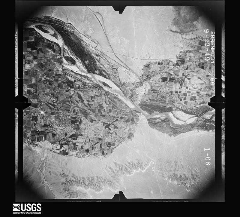
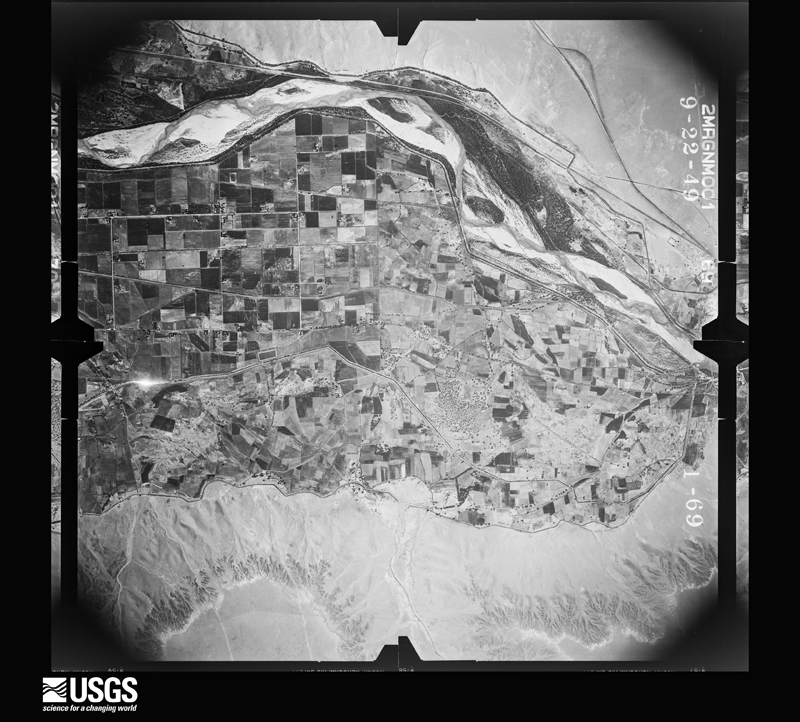
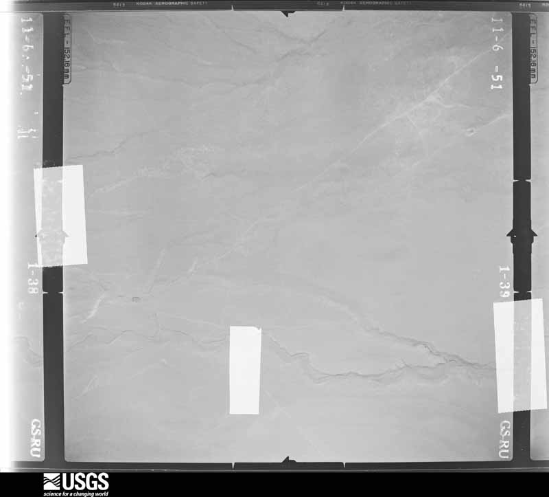
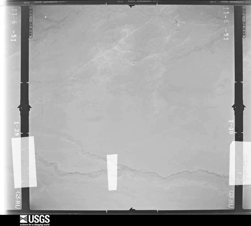
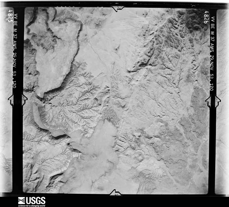
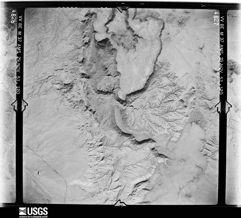
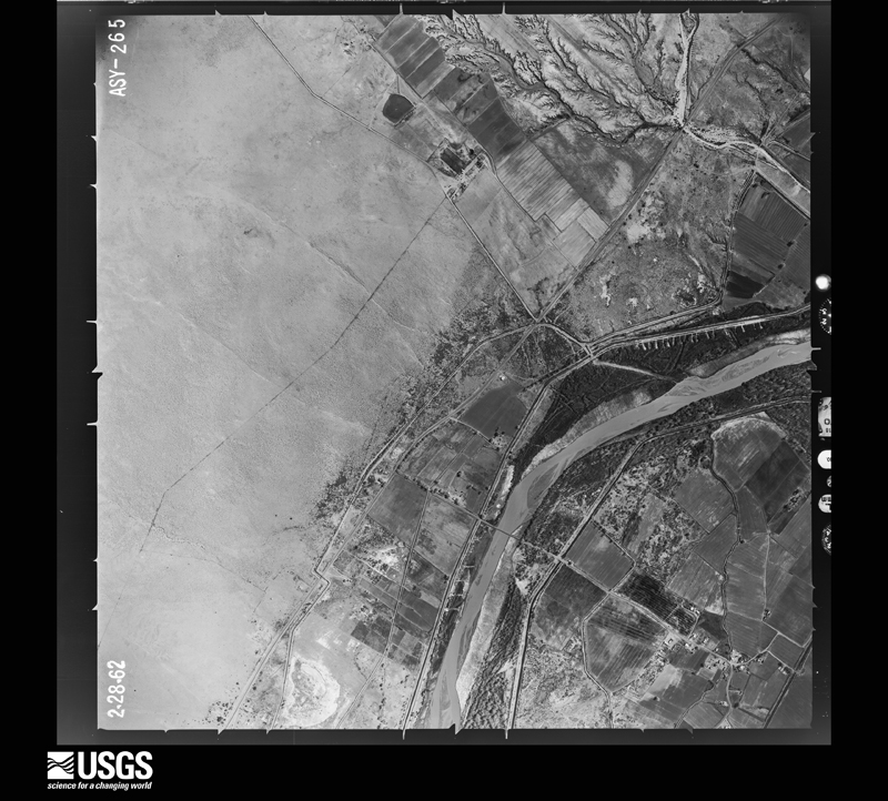
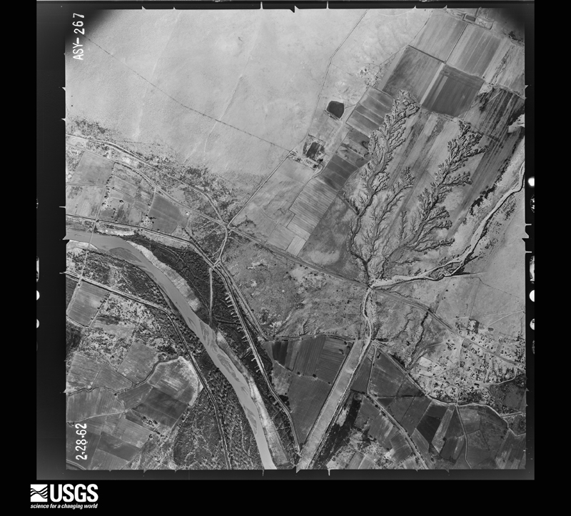
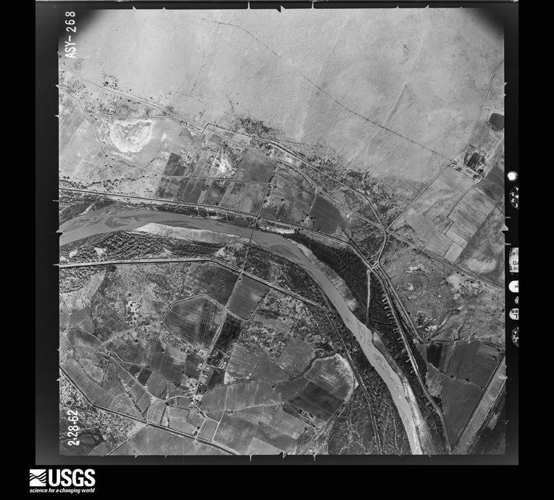
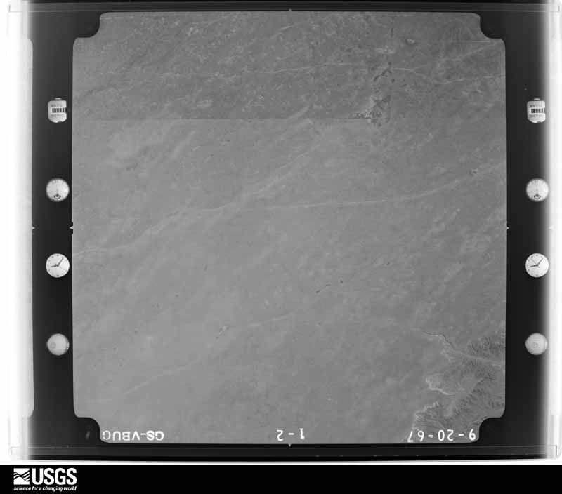
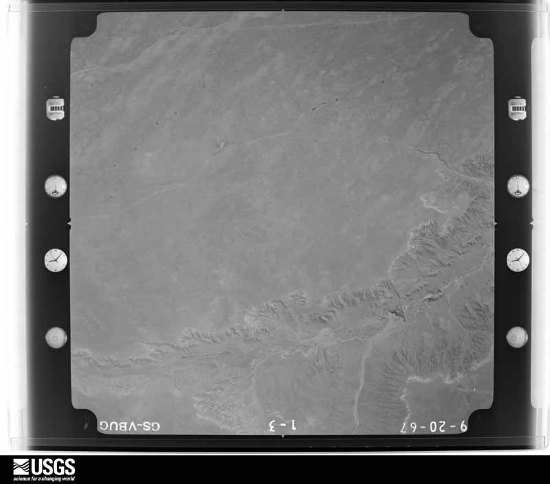
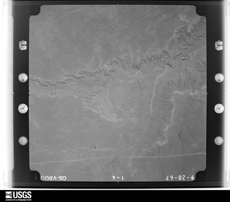
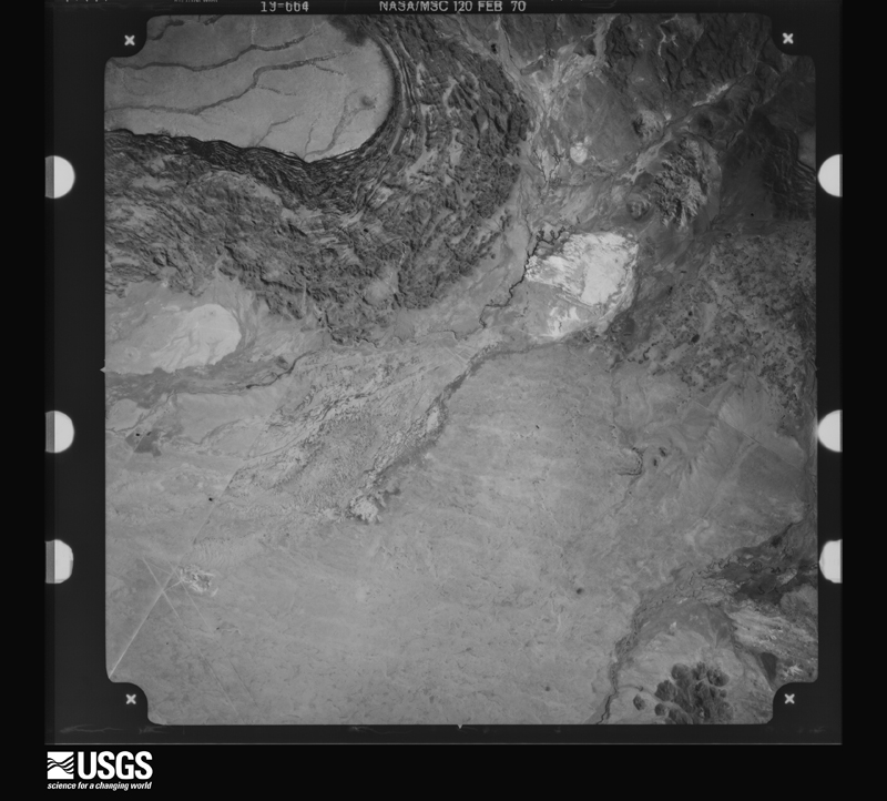
The county from the air
48 shown
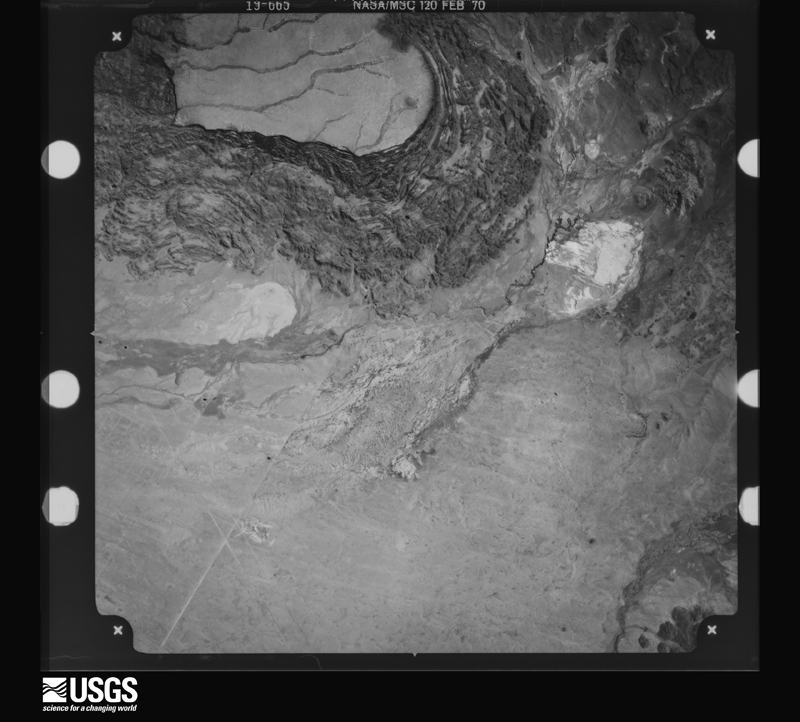
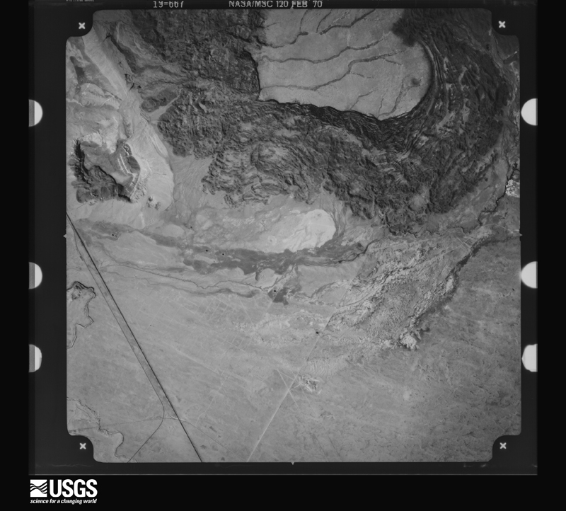
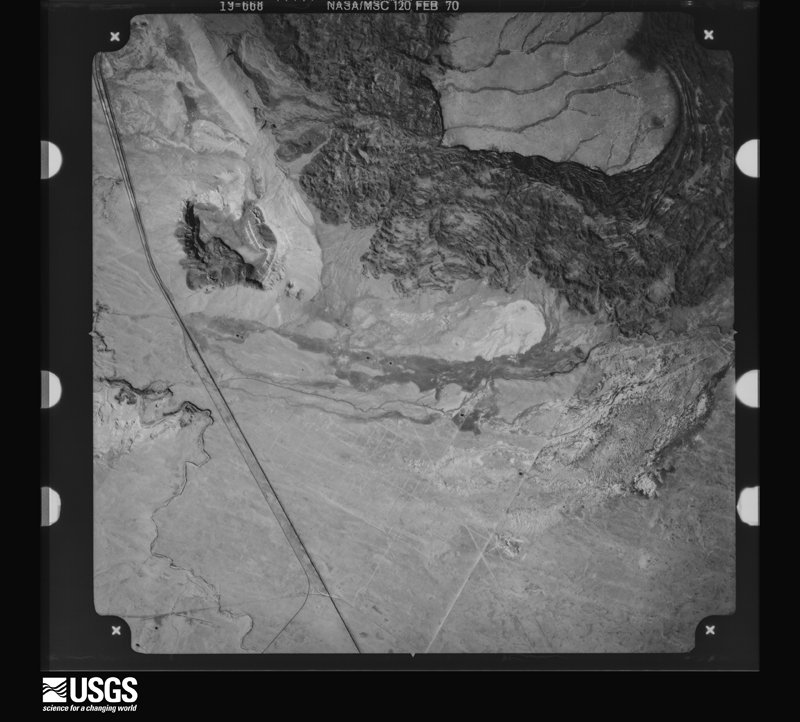
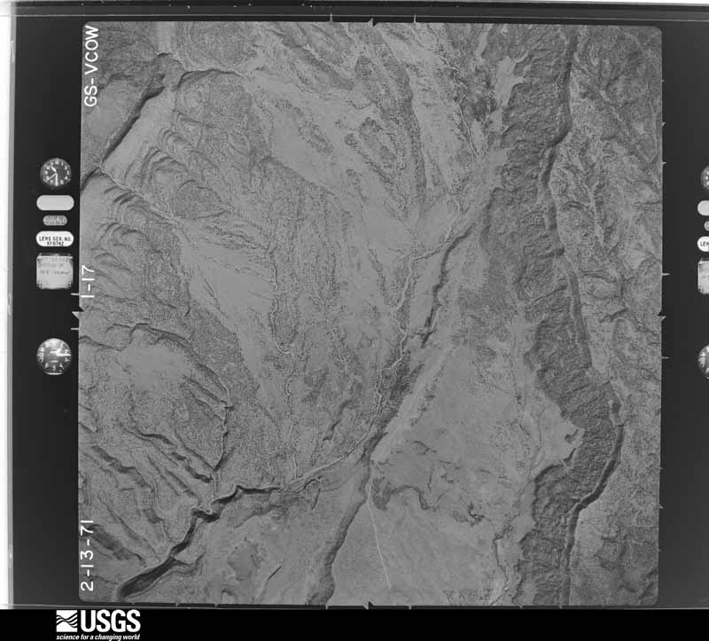
Flown by the U.S. Geological Survey
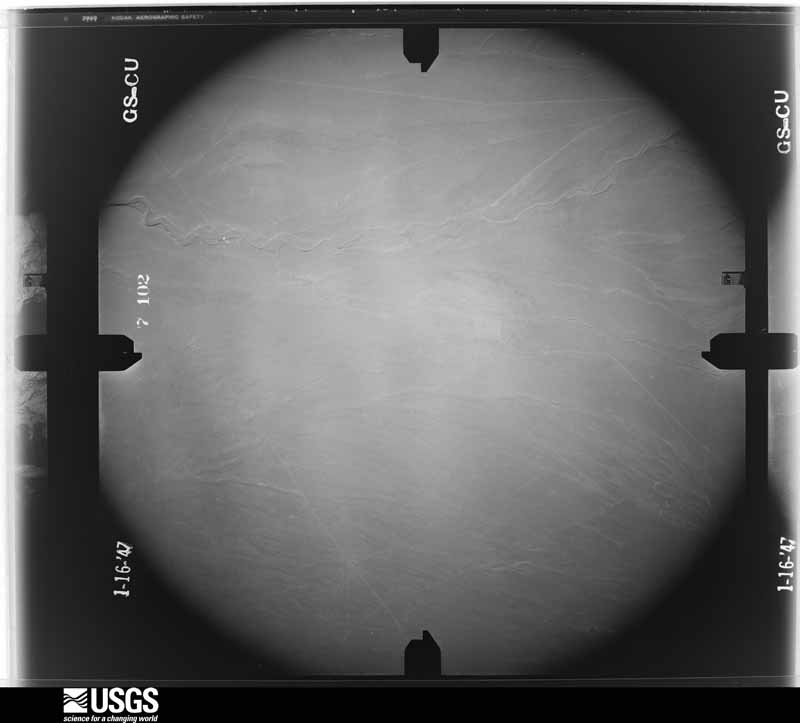
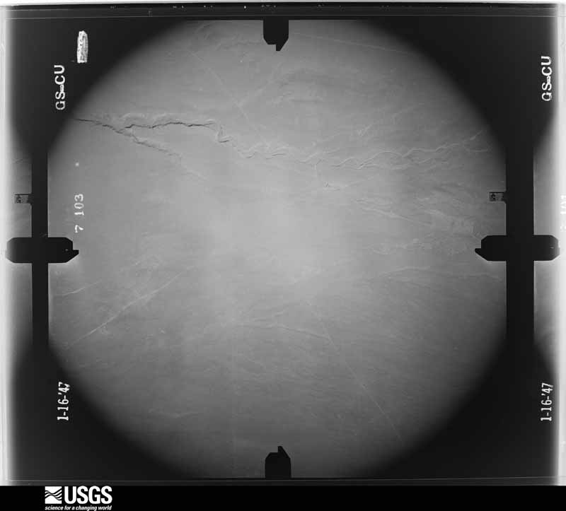
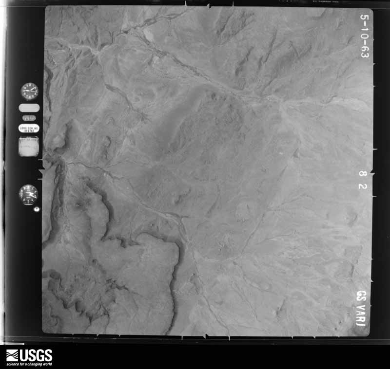
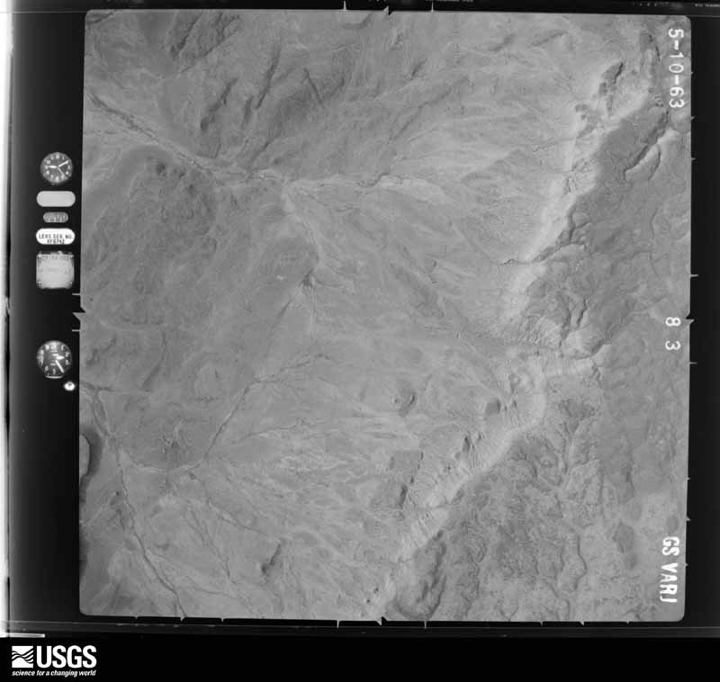
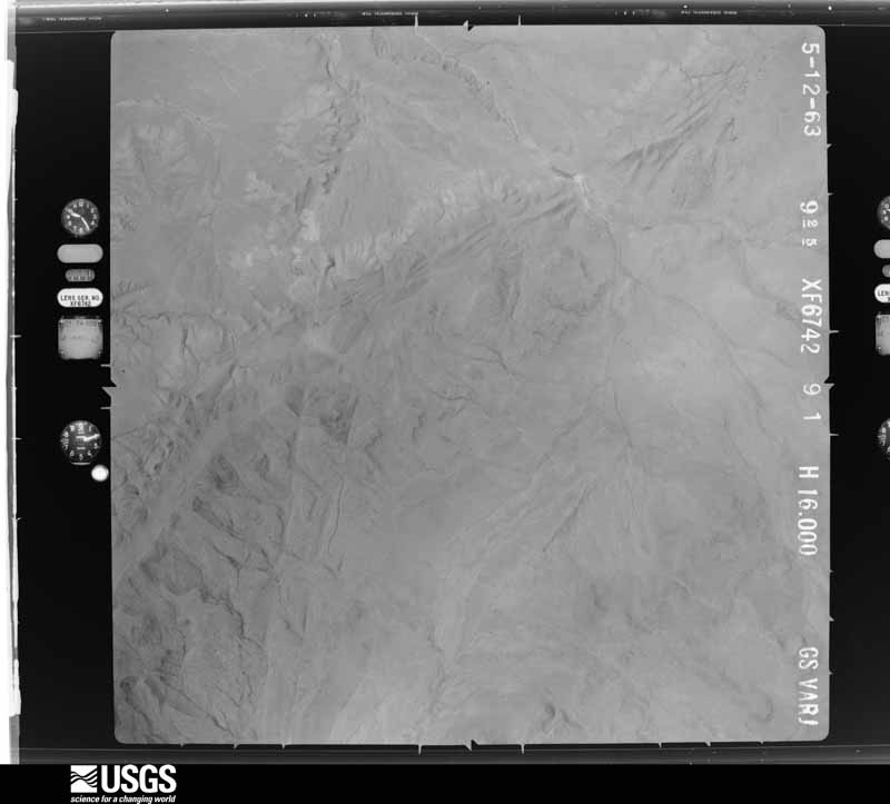
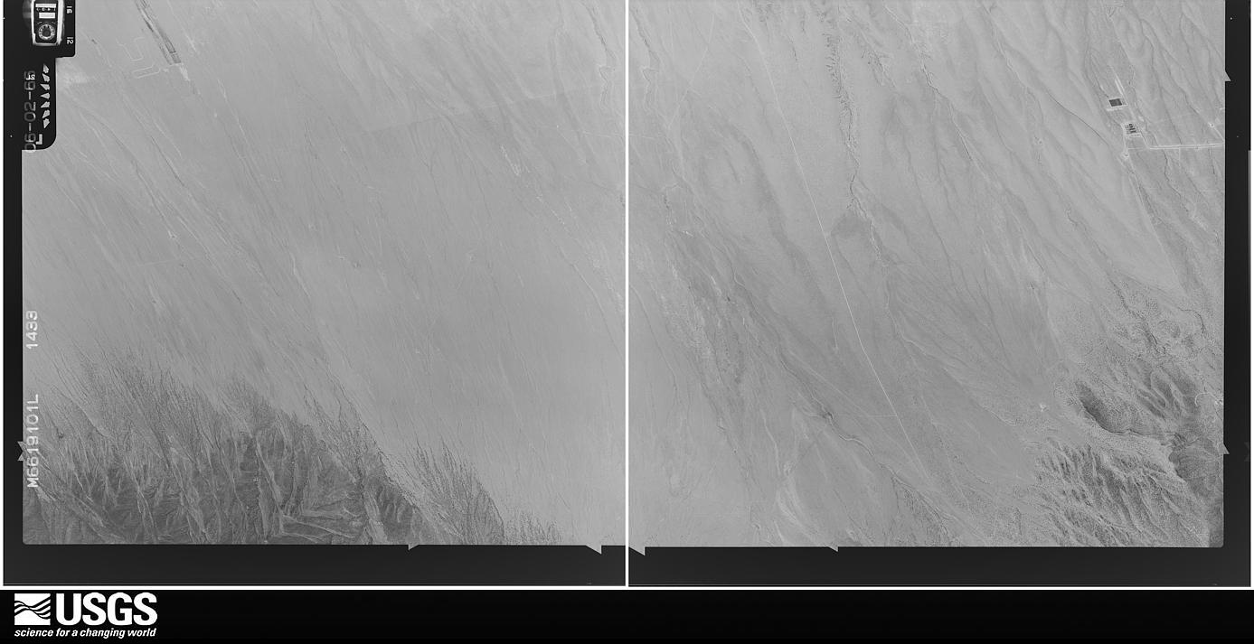
between 1937 and 1989, the Aerial Photo Single Frames collection is
the definitive mid-century view of the land: fields, roads and rivers
as the camera saw them. The Survey holds 3,354 frames inside the
rectangle that bounds this county; the 48 frames below were taken over
the county itself, chosen across the decades of flights (at most four
a year from that rectangle), so one flight cannot crowd out the rest.
The full set is free to browse and download at
EarthExplorer under the dataset Aerial Photo Single
Frames.
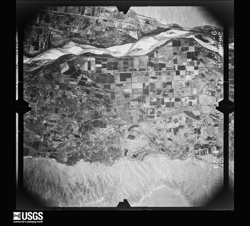
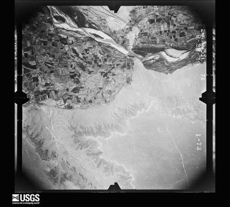
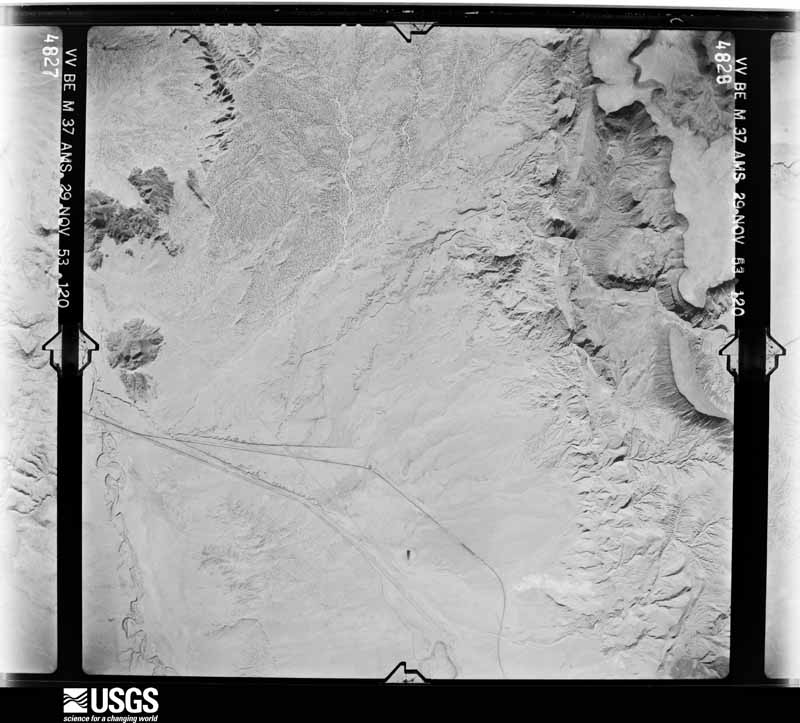
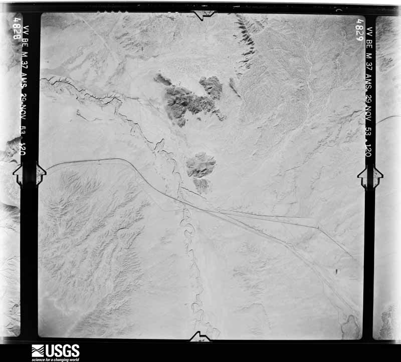
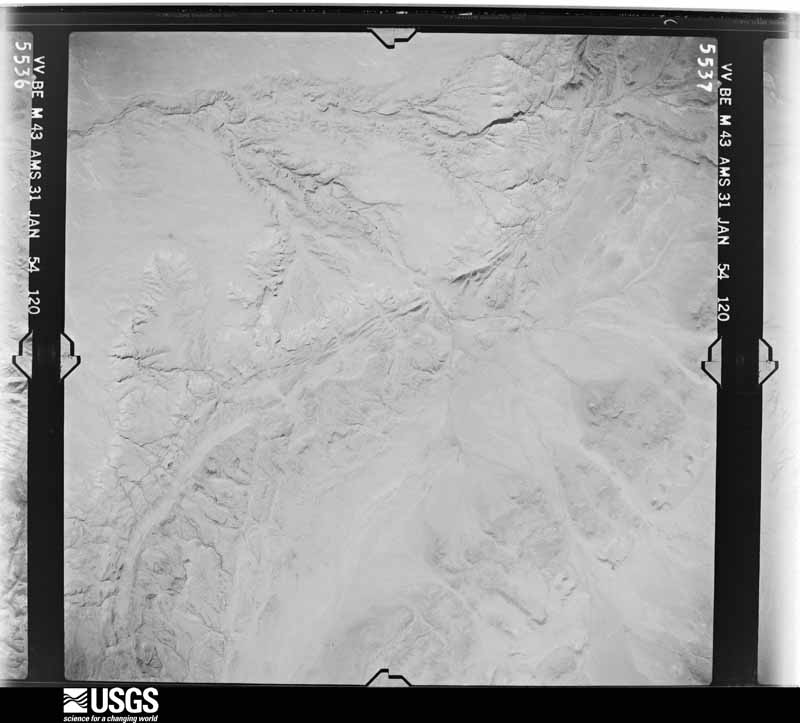
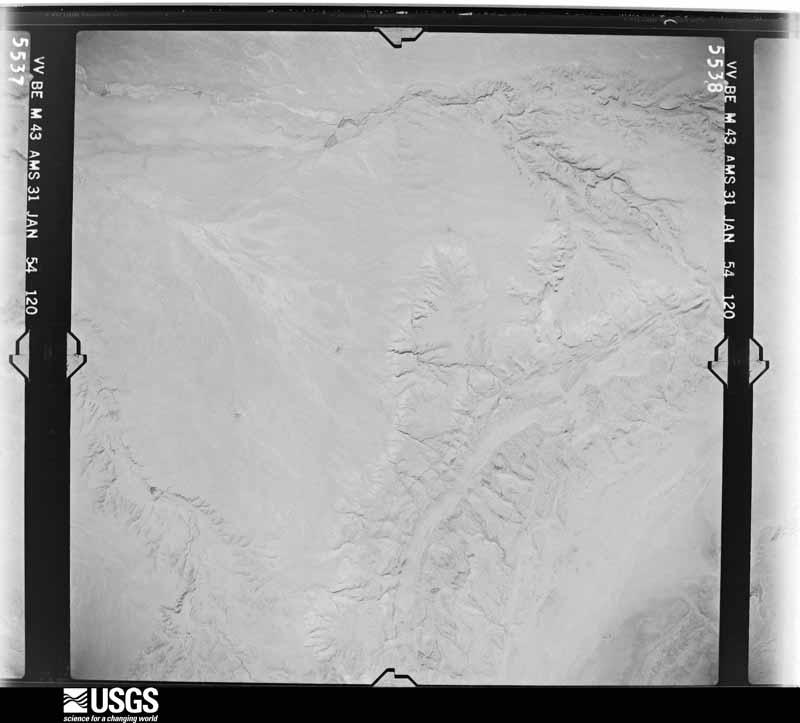
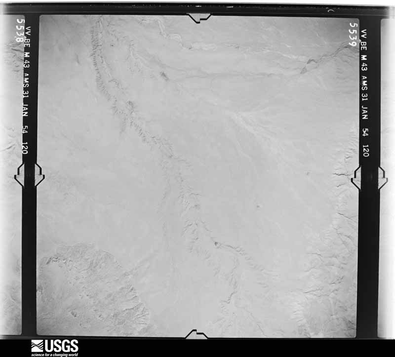
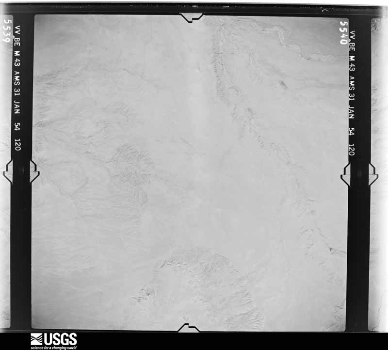
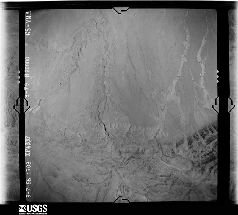
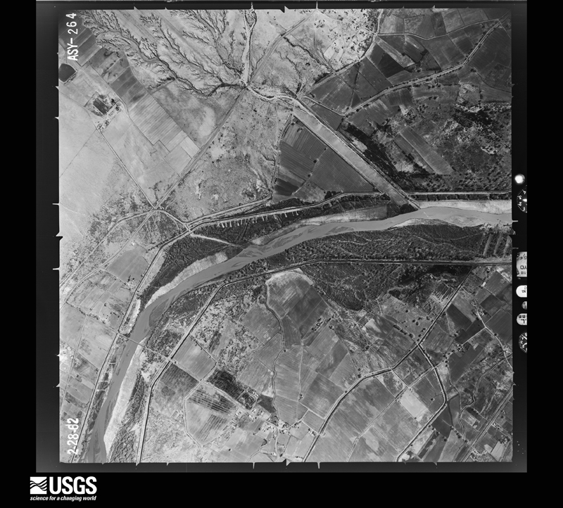
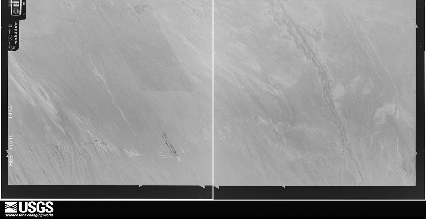
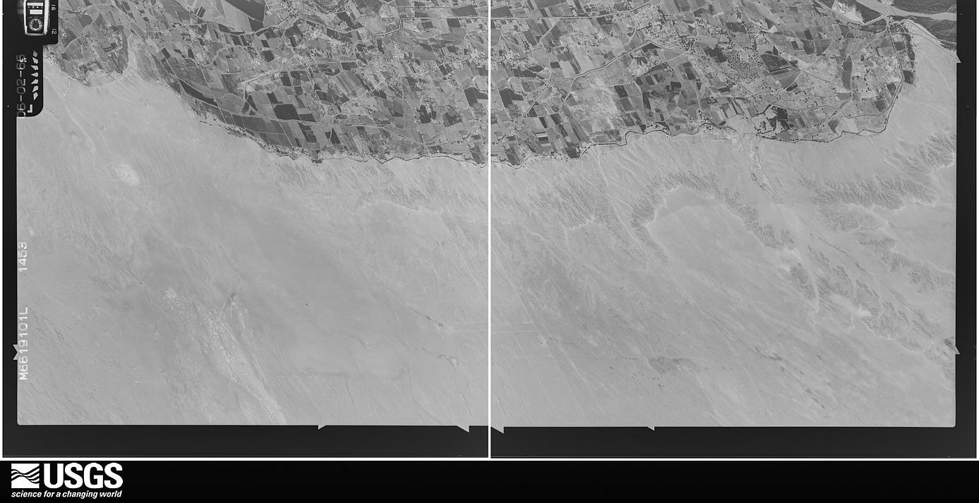
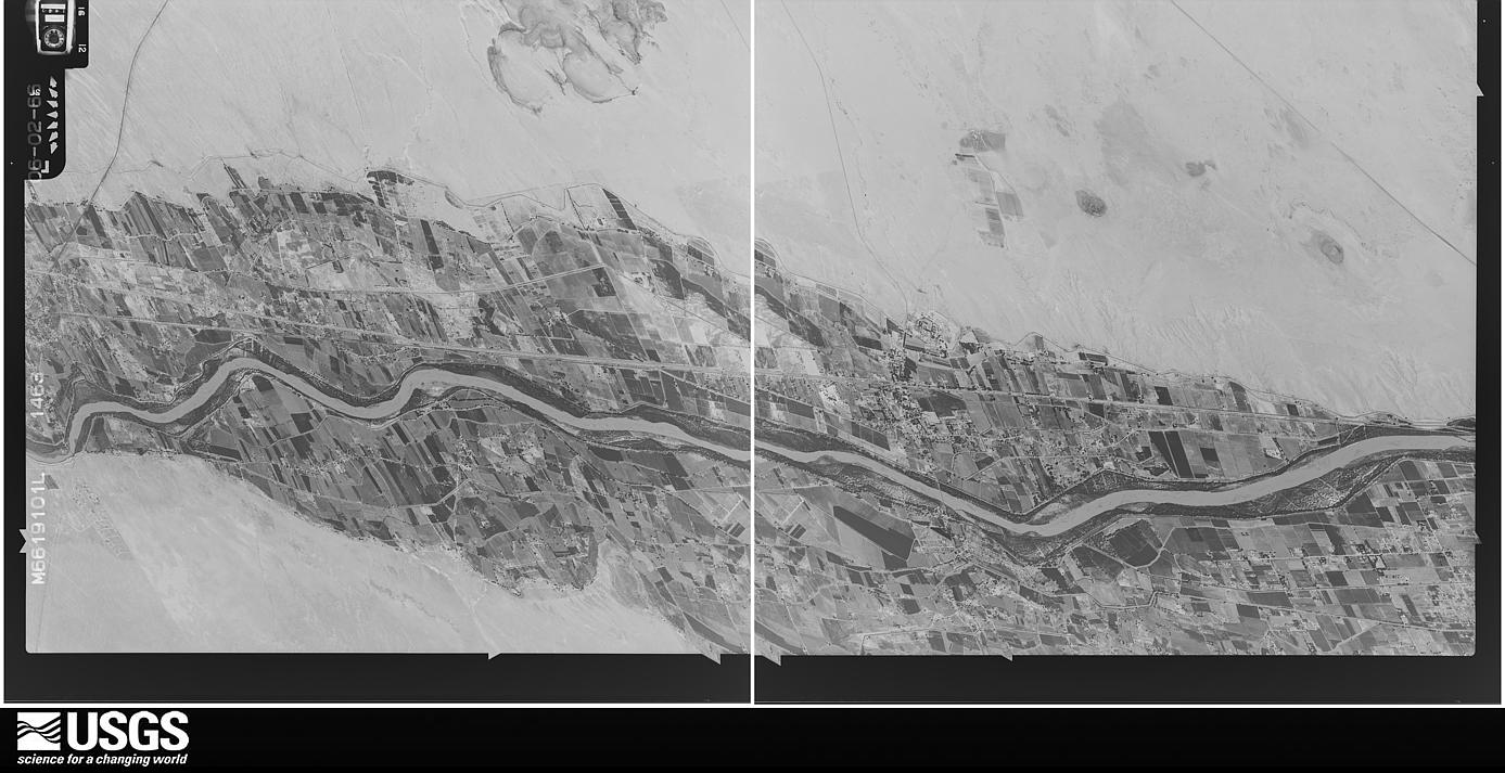
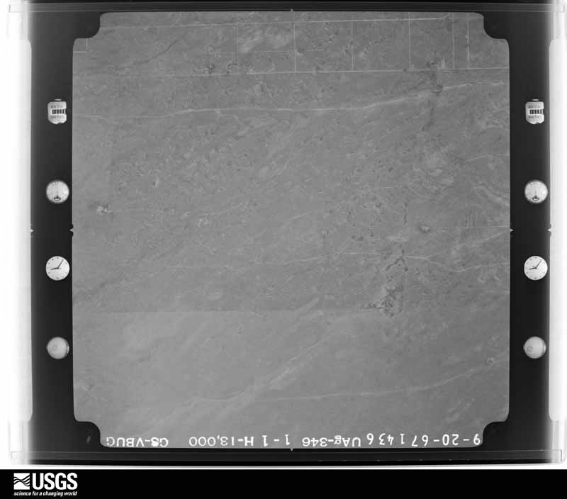
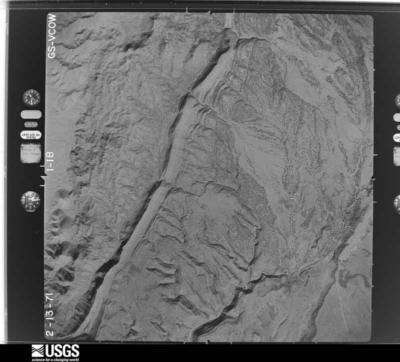
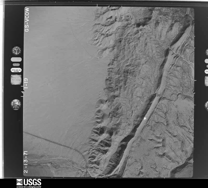
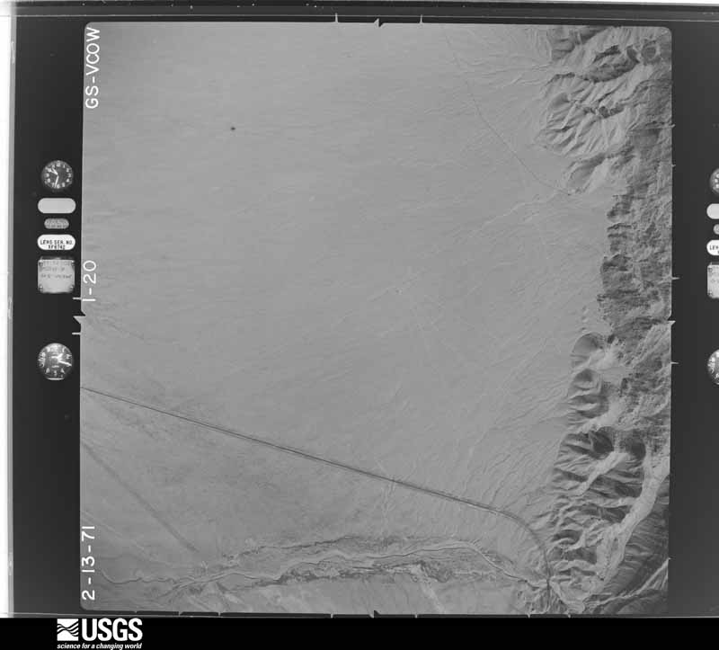
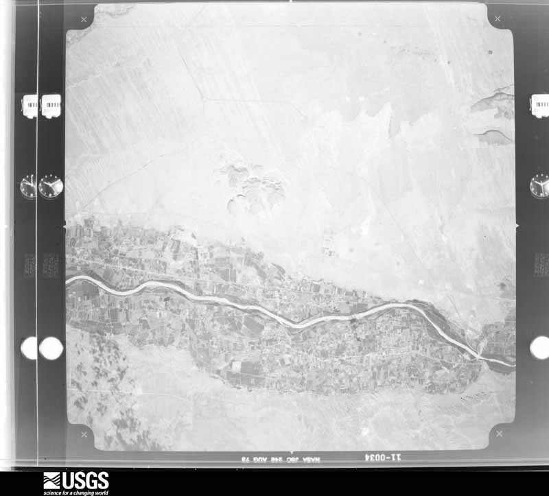
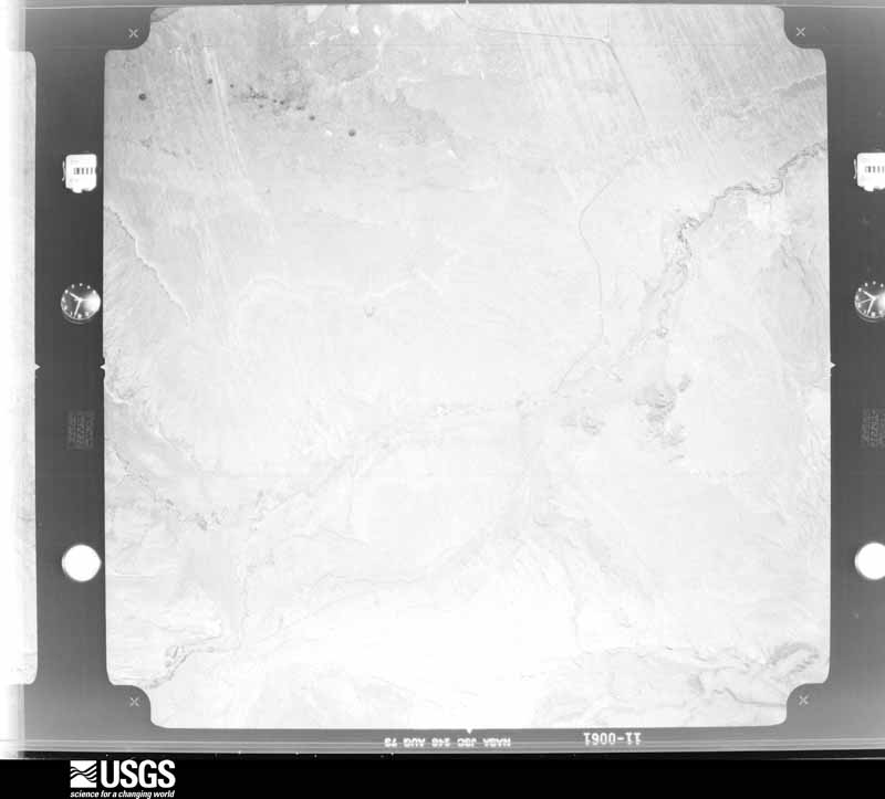
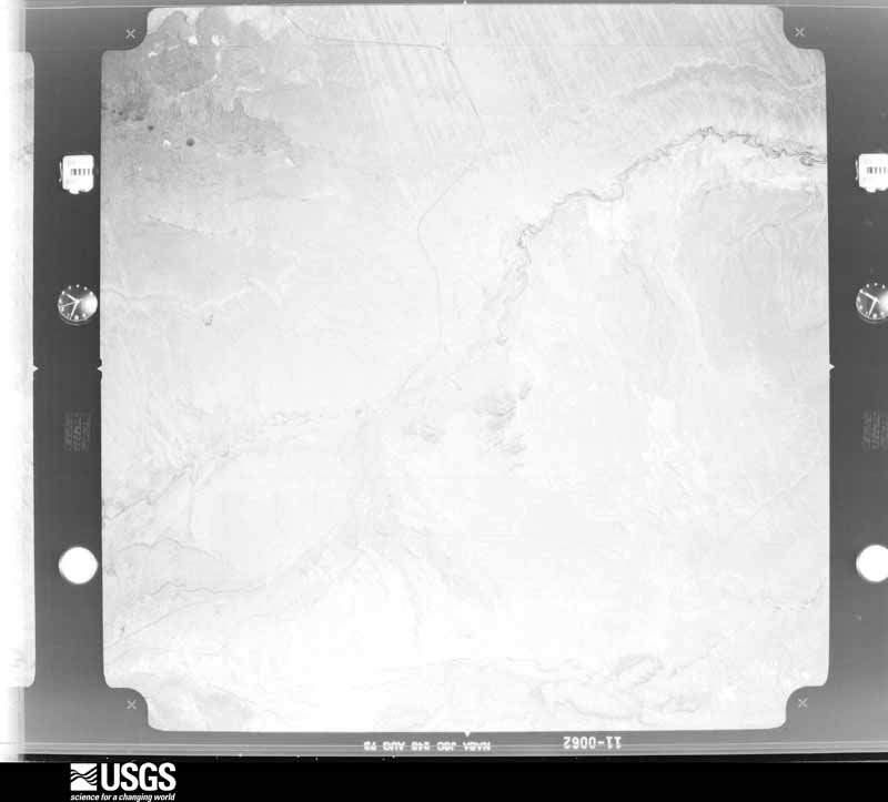
1947-02-01, scale 1:35400. U.S. Geological Survey aerial photograph.1947-02-01, scale 1:35400. U.S. Geological Survey aerial photograph.1947-02-01, scale 1:35400. U.S. Geological Survey aerial photograph.1947-02-01, scale 1:35400. U.S. Geological Survey aerial photograph.1949-09-22, scale 1:32400. U.S. Geological Survey aerial photograph.1949-09-22, scale 1:32400. U.S. Geological Survey aerial photograph.1949-09-22, scale 1:32400. U.S. Geological Survey aerial photograph.1949-09-22, scale 1:32400. U.S. Geological Survey aerial photograph.1951-10-01, scale 1:23600. U.S. Geological Survey aerial photograph.1951-10-01, scale 1:23600. U.S. Geological Survey aerial photograph.1951-10-01, scale 1:23600. U.S. Geological Survey aerial photograph.1951-10-01, scale 1:23600. U.S. Geological Survey aerial photograph.1953-11-29, scale 1:54000. U.S. Geological Survey aerial photograph.1953-11-29, scale 1:54000. U.S. Geological Survey aerial photograph.1953-11-29, scale 1:54000. U.S. Geological Survey aerial photograph.1953-11-29, scale 1:54000. U.S. Geological Survey aerial photograph.1954-01-31, scale 1:54000. U.S. Geological Survey aerial photograph.1954-01-31, scale 1:54000. U.S. Geological Survey aerial photograph.1954-01-31, scale 1:54000. U.S. Geological Survey aerial photograph.1954-01-31, scale 1:54000. U.S. Geological Survey aerial photograph.1956-03-07, scale 1:40000. U.S. Geological Survey aerial photograph.1962-02-28, scale 1:16000. U.S. Geological Survey aerial photograph.1962-02-28, scale 1:16000. U.S. Geological Survey aerial photograph.1962-02-28, scale 1:16000. U.S. Geological Survey aerial photograph.1962-02-28, scale 1:16000. U.S. Geological Survey aerial photograph.1963-05-12, scale 1:32000. U.S. Geological Survey aerial photograph.1963-05-12, scale 1:32000. U.S. Geological Survey aerial photograph.1963-05-12, scale 1:32000. U.S. Geological Survey aerial photograph.1963-05-12, scale 1:32000. U.S. Geological Survey aerial photograph.1966-06-02, scale 1:21670. U.S. Geological Survey aerial photograph.1966-06-02, scale 1:21670. U.S. Geological Survey aerial photograph.1966-06-02, scale 1:21670. U.S. Geological Survey aerial photograph.1966-06-02, scale 1:21670. U.S. Geological Survey aerial photograph.1967-10-09, scale 1:26000. U.S. Geological Survey aerial photograph.1967-10-09, scale 1:26000. U.S. Geological Survey aerial photograph.1967-10-09, scale 1:26000. U.S. Geological Survey aerial photograph.1967-10-09, scale 1:26000. U.S. Geological Survey aerial photograph.1970-02-08, scale 1:59218. U.S. Geological Survey aerial photograph.1970-02-08, scale 1:59218. U.S. Geological Survey aerial photograph.1970-02-08, scale 1:58464. U.S. Geological Survey aerial photograph.1970-02-08, scale 1:49811. U.S. Geological Survey aerial photograph.1971-02-13, scale 1:30800. U.S. Geological Survey aerial photograph.1971-02-13, scale 1:30800. U.S. Geological Survey aerial photograph.1971-02-13, scale 1:30800. U.S. Geological Survey aerial photograph.1971-02-13, scale 1:30800. U.S. Geological Survey aerial photograph.1973-08-02, scale 1:109431. U.S. Geological Survey aerial photograph.1973-08-02, scale 1:112100. U.S. Geological Survey aerial photograph.1973-08-02, scale 1:112540. U.S. Geological Survey aerial photograph.
Weather records
34 stations, 3 gages
The thermometers that kept this county's weather, and the gages that measured the flow of its streams, as the federal records hold them. The extremes below are measured values from those records, not estimates.
LOS LUNAS1892 to 1958, hottest 43.3 C, coldest -30.0 C
BELEN1941 to 1976, hottest 42.8 C, coldest -26.7 C
LOS LUNAS 3 SSW1957 to 2026, hottest 42.2 C, coldest -31.7 C
Who lived here in 1950, one enumeration
district at a time, as the Census Bureau described each district.
Each row opens its official National Archives result, with Population
Schedules and ED Maps available there.
32-1Election Precinct 1, Los Lunas: Los Lunas village: Los Lunas village, excluding New Mexico Home and Training School for Mental Defectives
32-2New Mexico Home and Training School for Mental Defectives (In Los Lunas village, Election Precinct 1)
32-3Election Precinct 1, Los Lunas - That part in Isleta Indian Reservation
32-4Election Precinct 1, Los Lunas - That part in Laguna Indian Reservation
32-5Election Precinct 1, Los Lunas - That part outside Los Lunas village, and Isleta and Laguna Indian Reservations
32-6Belen town, comprising parts of Election Precincts 2, Belen and 4, Belen: Belen town - That part in Election Precinct 2, Belen Bounded by Town limits; Town limits, Atchison, Topeka, & Santa Fe Railroad; Ross Ave. extended, Ross Ave.; Main, Town limits
32-7Belen town - That part in Election Precinct 2, Belen Bounded by Town limits; Main; W. Reinken Ave., Election Precinct line; Town limits
32-8Belen town - That part in Election Precinct 2, Belen Bounded by Ross Ave., Ross Ave. extended; Atchison, Topeka, & Santa Fe Railroad; E. Reinken Ave. extended, E. Reinken Ave.; Main, U.S. Highway 85
32-9Belen town - That part in Election Precinct 2, Belen Bounded by Town limits; Town limits; E. Reinken Ave. extended; Atchison, Topeka, & Santa Fe Railroad
32-10Belen town - That part in Election Precinct 4, Belen Bounded by E. Reinken Ave., E. Reinken Ave. extended; Town limits; Town limits; Camino Del Llano, U.S. Highway 85, Main, Bernard Ave.. N. 3rd, Baca Ave., N. 4th
32-11Belen town - That part in Election Precinct 4, Belen Bounded by E. Reinken Ave.; N. 4th; Baca Ave.; Main
32-12Belen town - That part in Election Precinct 4, Belen Bounded by Election Precinct line, W. Reinken Ave.; Main, U. S. Highway 85; Camino Del Llano, Town limits; Town limits
32-13Belen town - That part in Election Precinct 4, Belen Bounded by Baca Ave.; 3rd; Bernard Ave.; U. S, Highway 85, Main
32-14Election Precinct 2, Belen - That part outside Belen town (Remainder of Election Precinct 2, Belen, is in Belen town)
32-15Jarales, unincorporated, comprising part of Election Precinct 3, Jarales, and all of Election Precinct 21, Los Trujillos: Jarales, unincorporated - That part in Election Precinct 3, Jarales Bounded by Election Precinct line; Rio Grande River; Election Precinct line; U.S. Highway 85, Unnamed Foothill Rd.
32-16Jarales, unincorporated - That part comprising Election Precinct 21, Los Trujillos Bounded by Atchison, Topeka, & Santa Fe Railroad; Rio Grande River; Election Precinct line; Election Precinct line
32-17Election Precinct 3, Jarales - That part outside Jarales, unincorporated. (See separate map for boundaries of Jarales) (Remainder of Election Precinct 3. Jarales, is in Jarales, unincorporated)
32-18Election Precinct 4, Belen - That part outside Belen town (Remainder of Election Precinct 4, Belen, is in Belen town)
32-19Election Precinct 5, Cubero: Election Precinct 5, Cubero - That part in Laguna Indian Reservation Bounded by Election Precinct line; Election Precinct line; Laguna Indian Reservation boundary line, Acoma Indian Reservation boundary line; Acoma Indian Reservation boundary line, Laguna Indian Reservation boundary line, Election Precinct line, Laguna Indian Reservation boundary line
32-19Election Precinct 5, Cubero: Election Precinct 5, Cubero - That part in Laguna Indian Reservation Bounded by Election Precinct line; Election Precinct line; Laguna Indian Reservation boundary line, Acoma Indian Reservation boundary line; Acoma Indian Reservation boundary line, Laguna Indian Reservation boundary line, Election Precinct line, Laguna Indian Reservation boundary line
32-20Election Precinct 5, Cubero - That part outside Laguna Indian Reservation Bounded by Election Precinct line; Laguna Indian Reservation boundary line; Election Precinct line
32-21Election Precinct 5, Cubero - That part outside Acoma and Laguna Indian Reservations Bounded by Election Precinct line, Laguna Indian Reservation boundary line, Election Precinct line; Laguna Indian Reservation boundary line; Laguna Indian Reservation boundary line, Acoma Indian Reservation boundary line; Election Precinct line
32-22Election Precinct 5, Cubero - That part in Laguna Indian Reservation Bounded by Election Precinct line; Laguna Indian Reservation boundary line; Laguna Indian Reservation boundary line; Laguna Indian Reservation boundary line
32-23Election Precinct 5, Cubero - That part in Acoma Indian Reservation Bounded by Acoma Indian Reservation boundary line; Laguna Indian Reservation boundary line, Acoma Indian Reservation boundary line; Acoma Indian Reservation boundary line, Laguna Indian Reservation boundary line, Acoma Indian Reservation boundary line; Election Precinct line
32-23Election Precinct 5, Cubero - That part in Acoma Indian Reservation Bounded by Acoma Indian Reservation boundary line; Laguna Indian Reservation boundary line, Acoma Indian Reservation boundary line; Acoma Indian Reservation boundary line, Laguna Indian Reservation boundary line, Acoma Indian Reservation boundary line; Election Precinct line
32-24Election Precinct 5, Cubero - The part outside Acoma and Laguna Indian Reservation Bounded by Laguna Indian Reservation boundary line; Election Precinct line; County line; Election Precinct line, Acoma Indian Reservation boundary line, Laguna Indian Reservation boundary line, Acoma Indian Reservation boundary line. "The Indians in this Enumeration District were included in the Special Indian Tabulation."
32-24Election Precinct 5, Cubero - The part outside Acoma and Laguna Indian Reservation Bounded by Laguna Indian Reservation boundary line; Election Precinct line; County line; Election Precinct line, Acoma Indian Reservation boundary line, Laguna Indian Reservation boundary line, Acoma Indian Reservation boundary line. "The Indians in this Enumeration District were included in the Special Indian Tabulation."
32-25Election Precinct 5, Cubero - The part outside Laguna Indian Reservation Bounded by Acoma Indian Reservation boundary line; Laguna Indian Reservation boundary line; Laguna Indian Reservation boundary line; Acoma Indian Reservation boundary line
32-26Election Precinct 6, Seboyeta: Election Precinct 6, Seboyeta - That part outside Canoncito - Navajo and Laguna Indian Reservations
32-27Election Precinct 6, Seboyeta - That part in Laguna Indian Reservation
32-27Election Precinct 6, Seboyeta - That part in Laguna Indian Reservation
32-28Election Precinct 6, Seboyeta - That part in Canoncito - Navajo Indian Reservation
32-31Election Precinct 9, Los Lentes - Isleta Indian Reservation (part)
32-31Election Precinct 9, Los Lentes - Isleta Indian Reservation (part)
32-32Election Precinct 10, Peralta: Election Precinct 10, Peralta - That part in Isleta Indian Reservation
32-32Election Precinct 10, Peralta: Election Precinct 10, Peralta - That part in Isleta Indian Reservation
32-33Election Precinct 10, Peralta - Thit part outside Isleta Indian Reservation
32-34Election Precinct 11, Valencia: Election Precinct 11, Valencia - That part in Isleta Indian Reservation (Remainder of the Isleta Indian Reservation is in Bernalillo and Torrance Counties)
32-35Election Precinct 11, Valencia - That part outside Isleta Indian Reservation
32-38Election Precinct 14, San Lorenzo: Election Precinct 14, San Lorenzo - That part in Navajo Indian Reservation, comprising part of Grazing District No. 7 (Remainder of Grazing District No. 7 is in McKinley, Rio Arriba, Sandoval and San Juan Counties)
32-39Election Precinct 14, San Lorenzo - That part outside Navajo Indian Reservation
32-41Election Precinct 17, San Rafael: Election Precinct 17, San Rafael - That part outside [illegible] Indian Reservation
32-42Election Precinct 17, San Rafael: Election Precinct 17, San Rafael - That part in [illegible] Indian Reservation
32-43Election Precinct 18, Luna: That part in Canoncito - Navajo Indian Reservation (Remainder of Navajo Indian Reservation is in McKinley, Rio Arriba, Sandoval, and San Ana Counties and also in Apache, Coconino, and Navajo Counties, Arizona and San Juan County, Utah)
32-44Election Precinct 18, Luna: That part in Laguna Indian Reservation
32-44Election Precinct 18, Luna: That part in Laguna Indian Reservation
32-45Election Precinct 18, Luna: That part outside Canoncito - Navajo and Laguna Indian Reservations
32-46Election Precinct 20: Rinconada: Election Precinct 20, Rinconada - That part outside Acoma and Laguna Indian Reservation
32-47Election Precinct 20, Rinconada - That part in Acoma Indian Reservation, sections 17, 19 and 21, township 11, north and range 8, west
32-48Election Precinct 20, Rinconada - That part in Laguna Indian Reservation Bounded by Laguna Indian Reservation boundary line; Laguna Indian Reservation boundary line; Laguna Indian Reservation boundary line, Election Precinct line Election Precinct line, Laguna Indian Reservation boundary line
32-49Election Precinct 20, Rinconada - Thrt part in Laguna Indian Reservation Bounded by Laguna Indian Reservation boundary line; Election Precinct line (Remainder of Laguna Indian Reservation is in Bernalillo and Sandoval Counties, and also in San Diego County, California)
32-50Election Precinct 20, Rinconada - That part in Acoma Indian Reservation Bounded by Acoma Indian Reservation boundary line; Election Precinct line; Election Precinct line; Election Precinct line
32-50Election Precinct 20, Rinconada - That part in Acoma Indian Reservation Bounded by Acoma Indian Reservation boundary line; Election Precinct line; Election Precinct line; Election Precinct line
32-52Election Precinct 23, Grants: Grants town: Grants town - That part Bounded by Town limits; Town limits;Town limits; Patton extended, Patton, Stephens Ave., 1st
32-53Election Precinct 23: Grants town - Thut part Bounded by Town limits; 1st, Stephens Ave., Patton, Patton extended; Town limits, Atchison, Topeka, & Santa Fe Railroad; Iron Ave. extended, Iron Ave., Iron Ave. extended, George, Vernon Ave.
32-54Election Precinct 23: Grants town - That part Bounded by Town limits; Vernon Ave., George, Iron Ave. extended, Iron Ave., Iron Ave. extended; Atchison, Topeka, & Santa Fe Railroad; Town limits
32-55Election Precinct 23: Grants town - That part Bounded by Atchison, Topeka, & Santa Fe Railroad; Town limits; Town limits
32-56Election Precinct 23, Grants - That part outside Grants town and Acoma Indian Reservation
32-57Election Precinct 23, Grants - That part in Acoma Indian Reservation, sections 13 and 23, township 11, north and range 9, west
32-58Election Precinct 24, Jaraloso: Election Precinct 24, Jaraloso - That part in Zuni Indian Reservation (Remainder of Zuni Indian Reservation is in McKinley County)
32-59Election Precinct 24, Jaraloso- That part outside Zuni Indian Reservation
Every wildfire the federal occurrence
database records inside this county: 1,311 of them, burning
about 25,511 acres. 36 started naturally and 34 were recorded as arson. Each settlement page carries the fires within
five miles of it.
Reported cause
Fires
Debris and open burning
716
Missing data/not specified/undetermined
354
Equipment and vehicle use
55
Smoking
38
Natural
36
Arson/incendiarism
34
Recreation and ceremony
22
Misuse of fire by a minor
21
Power generation/transmission/distribution
15
Railroad operations and maintenance
11
Fireworks
5
Other causes
4
The five largest, by the area the report
gives. None of them was recorded as arson.
Date
Cause
Size
Reported by
Name on the report
15 April 2008
Recreation and ceremony
13,709 acres
Cibola National Forest
TRIGO
16 April 1995
Debris and open burning
2,000 acres
Southern Pueblos Agency
GINGER
28 July 1993
Natural
960 acres
Southern Pueblos Agency
not named
27 July 2016
Natural
646 acres
Bernalillo District
RATTLESNAKE FIRE
22 October 2006
Debris and open burning
470 acres
New Mexico State Forestry Division
not named
10 April 2000
Smoking
470 acres
Southern Pueblos Agency
LUCERO
24 February 2007
Missing data/not specified/undetermined
450 acres
Albuquerque District Office
BELEN
16 February 2014
Misuse of fire by a minor
449 acres
Southern Pueblos Agency
REC FIRE
Every settlement page carries the fires within five
miles of it - see the settlement index below.
Storms,
1954 to 2025
60 of 104 shown
The
NOAA Storm Events Database holds
104 reports for this county, causing 1 death, 10 injuries and about $12,710,000 in recorded property damage.
Each settlement page carries the reports that name it.
Kind of event
Reports
Thunderstorm Wind
36
Hail
32
Flash Flood
20
Tornado
7
Flood
4
Funnel Cloud
2
Heavy Rain
1
Dust Devil
1
Lightning
1
The most serious of them, by death, then
injury, then recorded damage. The accounts are quoted exactly as the
forecast office filed them.
Retention ponds in Belen overflowing into neighborhoods on west side of Belen. Widespread street flooding in town. Travel along Interstate 25 becoming very difficult as water is ponding along the highway.
Golf ball size hail pounded the Belen area. Dozens of vehicles were damaged and numerous building had windows broken. Several street lights were damaged and trees were stripped of leaves.
Heavy rain in Belen resulted in significant flash flooding across the town. Over two inches of rain breached the Belen Highline Canal which caused flooding along Main Street. An unknown amount of homes and businesses were damaged from the water. The New Mexico Governor signed an executive order declaring a State of Emergency in Valencia County due to the flooding. Damages are estimated.
State EOC Situation Reports detailed that 40 families were evacuated from Highland Meadow neighborhood due to flooding. A culvert 25' wide by 10' deep was completely destroyed and National Guard assisted recovery effort using mobile bridge. Another 20 families affected. A total of 7 structures were damaged in the mult-day event.
Most of Belen and the surrounding communities experienced some degree of flooding with water 2 to 3 feet deep in some locations. Flash flooding caused a mudslide on the Interstate 25 exit ramp at Camino Del Llano. A nearby diner was also flooded. Flood waters also entered a few homes. In addition, the wall of a welding shop succombed to the pressure of flood waters on it and buckled.
Video shared on social media by local media showed severe flash flooding and flowing water filled with debris across a property at Calle De Baca and Highway 116 in southwest Belen. A large work trailer was swept away in the flood waters. The flash flooding plugged one culvert and wiped out a second culvert. Additionally, the heavy rainfall resulted in overflowing retention ponds resulting in localized flooding for other nearby residents.
State EOC Situation Report #2 on the 11th detailed numerous dirt and gravel roads across Valencia County were impassible and sandbags were requested due to heavy rainfall on the 10th.
Heavy rain near Los Lunas caused a section of New Mexico State Road 6 to wash out. One vehicle with a family of three was traveling on the roadway when the road was washed out. Their car was submerged, but fortunately, nearby contruction workers were able to pull the family out of the car. No injuries were reported. The flooding forced the closure of the roadway during the evening hours. Damages are estimated.
Outflow winds from a virga shower blew over a semi-trailer truck along Interstate 25 in Los Lunas. A small hay shed also collapsed and the sheet metal roofing blew up to 200 yards away.
A dry microburst with estimated wind gusts of 50 to 60 mph downed a large cottonwood tree near Katherine Gallegos Elementary School. No injuries were reported. Damages are estimated for the downed tree.
The public reported golfball-size hail in Los Lunas, stripping leaves off trees and destroying up to 50% of the crops at the State University Extension Station.
A second severe thunderstorm hit the Belen area in as many hours. Hail damaged a skylight, shredded a garden and injured horses, leaving welts on them.
At least two large trees were downed in Belen from high winds, small hail, and torrential rainfall. One of these trees crushed a metal fence. Damage amount is a rough estimate.
Debris and water washouts along I-25 which was shut down for a period of time at mile marker 190. This required a bulldozer to clear the debris the following day.
A video from a KOB viewer on social media showed large areas of water inundating farmland and nearby properties around El Cerro. Time and location are estimated.
A social media post on Facebook showed a well-defined funnel cloud over the west mesa near Belen, NM on October 8, 2022. Time and location are estimated from the Facebook post.
A thunderstorm moving rapidly north through the Belen area produced a peak wind gust up to 66 mph. No significant damage to trees and power lines was reported with the passage of this storm.
The Survey's mineral resources record
lists 41 workings inside this county. 10 still produce and 31 are closed or unrecorded. Each
settlement page carries the workings within five miles of it.
Commodity
Workings
Sand and Gravel, Construction
21
Fluorine-Fluorite
5
Copper
3
Barium-Barite
2
Limestone, General
2
Stone, Crushed/Broken
2
Gemstone
1
Gold, Silver
1
Clay
1
Platinum, Gold, Copper
1
Uranium, Copper
1
Marble, Dimension
1
Stone, Dimension
1
Geothermal
1
The least common of them first, because a
county's hundredth gravel pit says nothing its first ten did not.
Named settlements recorded in the Geographic Names
Information System, each with the topographic sheets covering it. Villages,
hamlets and abandoned places alike. Each is shown with the nearest named
watercourse or landform and the survey quadrangle it falls on. The 1 place that was also surveyed for fire insurance comes first, with the number of atlases and photographs held for them.
The complete index, with nothing left out.
Each of these is a separate record with its own page: a federal survey
report, or the case file that argued a property on to the National
Register. Both are public domain and reproduced word for word.
Topographic sheets. USGS Historical Topographic Map Collection, county index, measured from the bulk metadata.
Fire insurance maps. Library of Congress Sanborn collection, faceted to this county.
Photographs. Each place queried individually against the Library of Congress Prints and Photographs search.
Wildfire. Short, Karen C. 2022. Spatial wildfire occurrence data for the United States, 1992-2020 [FPA_FOD_20221014]. 6th Edition. Fort Collins, CO: Forest Service Research Data Archive. https://doi.org/10.2737/RDS-2013-0009.6 Collected with United States Government funding and usable without additional permissions or fees.
Mines and quarries. USGS Mineral Resources Data System (MRDS) https://mrdata.usgs.gov/mrds/ A work of the United States government, no copyright under 17 U.S.C. 105.
Storms. NOAA National Centers for Environmental Information, Storm Events Database https://www.ncei.noaa.gov/stormevents/ A work of the United States government, no copyright under 17 U.S.C. 105. Narratives are quoted verbatim from the National Weather Service report and are not edited or summarised.
 Block