 Block
Capulin, New Mexico
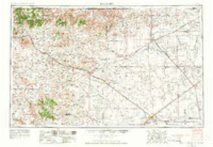
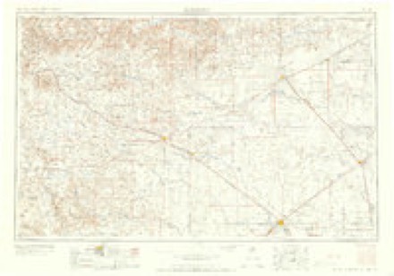
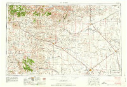
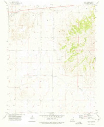
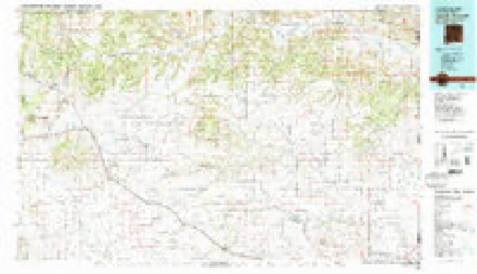
8 topographic sheets cover this place, the earliest surveyed in 1954 and the latest in 1982. It stands in the Clayton North census division. It lies in ZIP code area 88414. The Survey maps it on the Capulin quadrangle.
On record in Capulin
Buildings and businesses the archive holds for this place. Each opens its own page, with the source record it came from.
On the National Register 1 record
Topographic sheets covering this place
5 surveys from 8 printed sheetsMatched by testing this settlement's coordinate against the published boundary of every sheet in the United States Geological Survey's historical collection. Each opens the scanned sheet at the Survey.
- 1954 USGS Dalhart quadrangle1:250000, 2 printings
- 1958 USGS Dalhart quadrangle1:250000, 2 printings
- 1962 USGS Dalhart quadrangle1:250000
- 1972 USGS Capulin quadrangle1:24000
- 1982 USGS Capulin Mountain quadrangle1:100000, 2 printings
Photographs
6 photographs, 1939Taken for the Office of War Information and the Farm Security Administration, who photographed the country between 1935 and 1944. Works of United States government photographers, with no known restriction on use. Each opens its catalogue record.
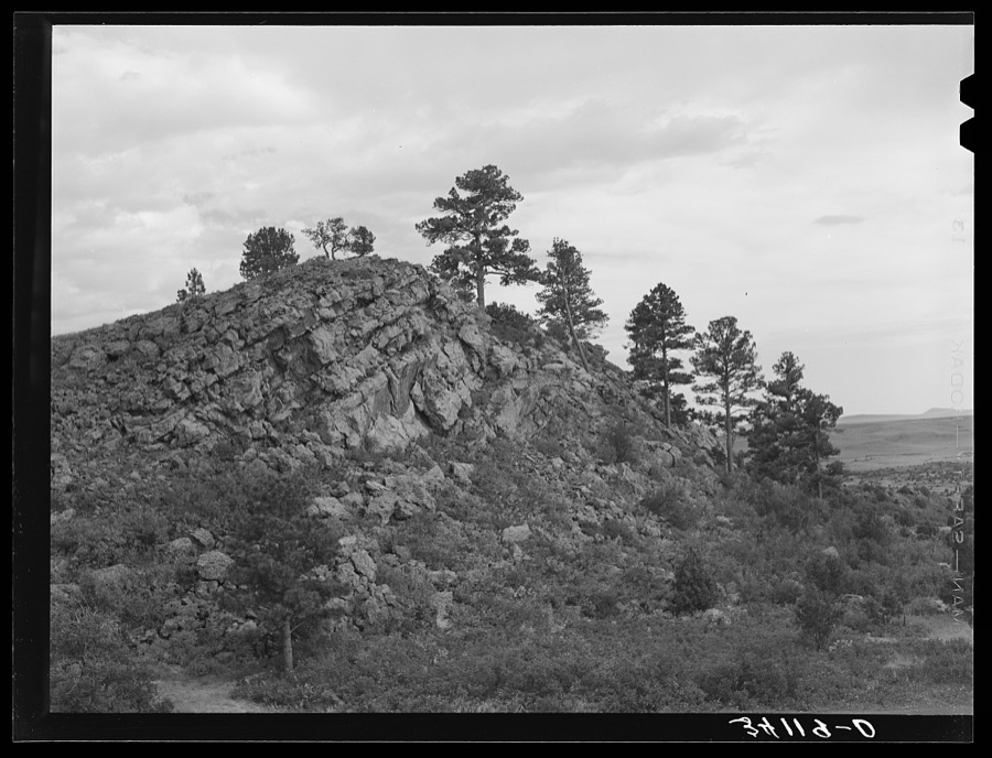
Lee, Russell, 1939. Library of Congress
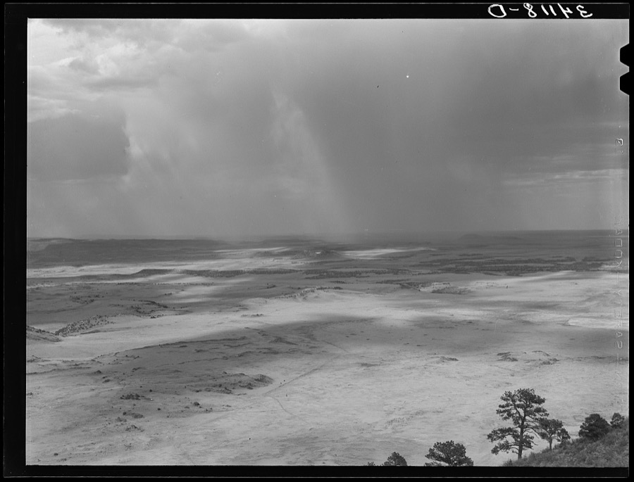
Lee, Russell, 1939. Library of Congress

Lee, Russell, 1939. Library of Congress
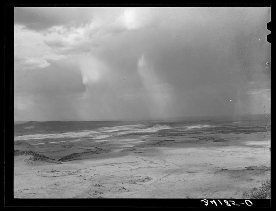
Lee, Russell, 1939. Library of Congress
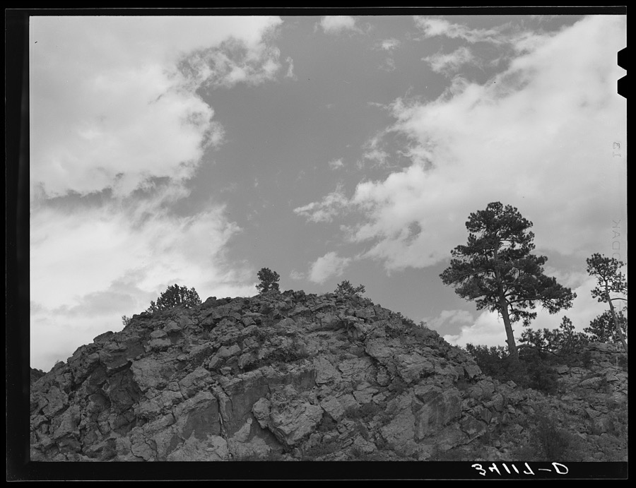
Lee, Russell, 1939. Library of Congress
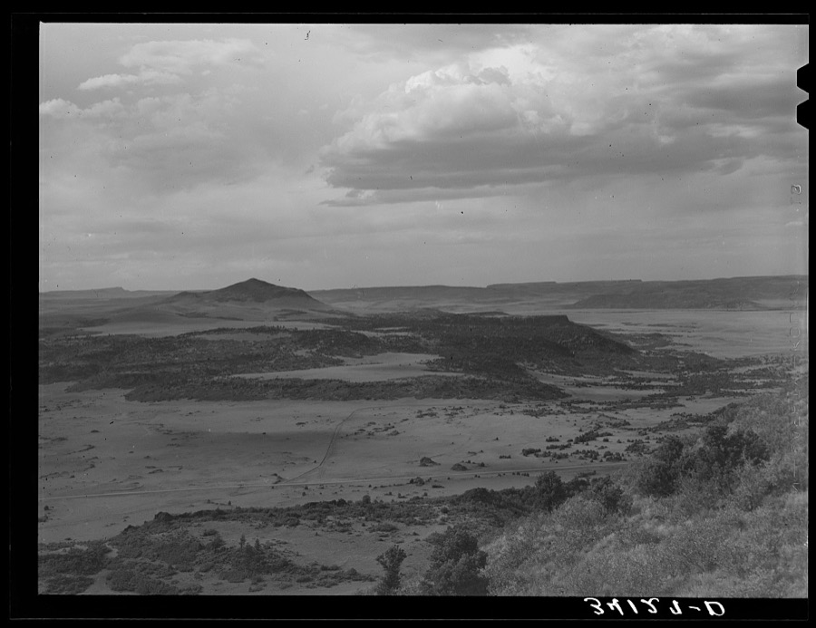
Lee, Russell, 1939. Library of Congress
Fires near this place
15 since 1994Regional context, not property-specific evidence. The federal wildfire occurrence database lists 15 fires within 5 miles of Capulin between 1994 and 2020, burning about 3,394 acres in total. 7 started naturally. None was recorded as arson. Distance is straight-line from the map coordinates, so a fire counted here may appear on a neighbouring settlement's page as well.
| Reported cause | Fires |
|---|---|
| Natural | 7 |
| Missing data/not specified/undetermined | 6 |
| Smoking | 1 |
| Equipment and vehicle use | 1 |
The most recent of them, most recent first, with the day each was reported and the service that recorded it.
| Date | Cause | Size | Reported by | Name on the report |
|---|---|---|---|---|
| 7 July 1997 | Missing data/not specified/undetermined | 2.0 acres | New Mexico State Forestry Division | CRATER |
| 5 July 2012 | Natural | 200 acres | New Mexico State Forestry Division | SIERRA GRANDE |
| 24 June 2020 | Natural | 15 acres | Cimarron District | SIERRA GRANDE 2 CANYON |
| 18 June 1994 | Natural | under an acre | Capulin Volcano National Monument | TREE |
| 11 June 2013 | Missing data/not specified/undetermined | under an acre | New Mexico State Forestry Division | CAPULIN |
| 31 May 2002 | Natural | 1,700 acres | New Mexico State Forestry Division | CAPULIN |
| 21 May 2020 | Natural | 60 acres | Cimarron District | HORSESHOE CRATER |
| 20 May 2006 | Natural | 1,000 acres | New Mexico State Forestry Division | not named |
Settlements close enough to share some of these fires:
Mines and quarries near this place
6 within 5 milesRegional context, not property-specific evidence. The federal mineral resources record lists 6 workings within 5 miles of Capulin: 6 unknowns. None of them still produces. What was taken out: Sand and Gravel, Construction, Pumice. Distance is straight-line from the map coordinates, so a quarry counted here may appear on a neighbouring settlement's page as well.
| Where | Site | Commodity | Status | Recorded |
|---|---|---|---|---|
| Horse Shoe Crater | Pumice | Unknown | ||
| Capulin Mountain | Sand and Gravel, Construction | Unknown | ||
| Capulin Mountain | Sand and Gravel, Construction | Unknown | ||
| Materials Pit | Sand and Gravel, Construction | Unknown | ||
| Materials Pit | Sand and Gravel, Construction | Unknown | ||
| Pit #57 57 S | Sand and Gravel, Construction | Unknown |
Storms near this place
46 since 1996Regional context, not property-specific evidence. The National Weather Service names Capulin in 46 storm reports between 1996 and 2025: 34 hail, 4 flash flood, 4 thunderstorm wind, 3 tornado. No death or injury is recorded in these reports. Each account below is quoted exactly as the forecast office filed it, from the NOAA Storm Events Database, and each date opens the federal record of that event.
| When | Event | Place named | Harm | What the report says |
|---|---|---|---|---|
| August 2019 | Flash Flood | Capulin | $50,000 | Flash flooding over the Capulin Volcano resulted in significant damage to the roadway leading to the summit. The road will be closed until repairs are made. Damage amounts are a rough estimate based on the news article. |
| August 2015 | Hail | Capulin | $20,000 | The first storm over the observer's location produced tennis ball size hail that broke 3 skylights of a house, and dented a car and broke its windows. |
| August 2015 | Flash Flood | Capulin | $15,000 | Heavy rains caused a mud slide along a mile stretch of roadway that leads to the top of the Capulin National Monument. The debris included mud and boulders that were up to 55 pounds in weight. The road remained closed into the afternoon on the 14th as staff attempted to clear the debris. |
| July 2023 | Thunderstorm Wind | Capulin | $5,000 | A COOP observer in Capulin reported that a severe wind gust originating from a dying thunderstorm blew down their shed and broke off tree branches up to 6 inches in diameter. Damage is an estimate of the shed. |
| May 2021 | Hail | Capulin | $5,000 | A COOP observer near Capulin reported 1 inch to 1.5 inch hail from a severe thunderstorm moving eastward through the area. The hail accumulated to about an inch at their location. The observer also reported that the glass of their greenhouse was broken and the hail tore holes in their plastic gutter. Damages are estimated for the property damage to the greenhouse and gutters. |
| July 2014 | Flash Flood | Capulin | $5,000 | Intense rainfall caused a mudslide over Volcano Rd. at the Capulin Volcano National Monument. The road was closed the following day for debris removal. |
| August 2008 | Hail | Capulin | $1,000 | Hail broke a window and a light cover on a building north of Capulin. |
| July 2025 | Hail | Capulin | - | A COOP observer in Capulin reported nickel size hail from a strong thunderstorm. |
| May 2023 | Thunderstorm Wind | Capulin | - | A public weather station near Des Moines, NM measured a peak thunderstorm wind gust of 61 mph. |
| June 2023 | Funnel Cloud | Capulin | - | A resident just west of Capulin shared a photo of a funnel cloud from a strong thunderstorm. |
| July 2020 | Hail | Capulin | - | Nickel size hail reported near Capulin. |
| July 2020 | Hail | Capulin | - | Trained spotters near Capulin reported hail up to ping pong size. |
| May 2019 | Hail | Capulin | - | Penny size hail reported near Capulin. |
| June 2019 | Thunderstorm Wind | Capulin | - | A peak wind gust estimated up to 60 mph occurred with a thunderstorm in Capulin. Torrential rainfall was also reported. |
| August 2019 | Hail | Capulin | - | Quarter size hail at the Capulin Volcano National Monument. |
| August 2019 | Hail | Capulin | - | Nickel to quarter size hail reported at Capulin Volcano National Monument. |
| August 2019 | Hail | Capulin | - | Half dollar size hail reported in Capulin. |
| June 2018 | Hail | Capulin | - | Hail ranging from the size of pennies to golf balls impacted Capulin. |
| June 2018 | Hail | Capulin | - | Hail up to the size of pennies in Capulin. |
| April 2017 | Hail | Capulin | - | Pea to quarter size occurred at the Capulin National Monument. |
| August 2016 | Tornado (EF0) | Capulin | - | Brief rope tornado touched down on a distant mesa near Capulin Volcano National Monument. |
| August 2016 | Hail | Capulin | - | Penny hail in Capulin. |
| May 2015 | Hail | Capulin | - | Capulin National Monument shared photos of hail slightly larger than quarter size mixed in the mainly pea size hail. |
| August 2015 | Hail | Capulin | - | Ping pong size hail from third storm over observer's location. |
| August 2015 | Hail | Capulin | - | Staff living near the Capulin National Monument reported hail just smaller than ping pong size with storm that hit during the evening. |
| August 2015 | Hail | Capulin | - | The second storm over the observer's location dropped penny size hail. |
| June 2014 | Hail | Capulin | - | Penny size hail covered ground about 1 inch deep. |
| June 2011 | Thunderstorm Wind | Capulin | - | The cooperative observer in Capulin estimates a peak wind gust of 65 mph. A few hailstones and one tenth of an inch of rain was also reported. |
| June 2006 | Hail | Capulin | - | Large hail reported from the Volcano National Monument south into Capulin. |
| August 2001 | Tornado (F0) | Capulin | - | Another brief landspout was reported along the outflow of thunderstorms that formed in an environment of very weak shear. |
| August 2015 | Hail | Capulin | - | no account filed |
| August 2015 | Hail | Capulin | - | no account filed |
| July 2008 | Hail | Capulin | - | no account filed |
| May 2007 | Hail | Capulin | - | no account filed |
| June 2007 | Hail | Capulin | - | no account filed |
| June 2005 | Hail | Capulin | - | no account filed |
| June 2005 | Hail | Capulin | - | no account filed |
| June 2004 | Hail | Capulin | - | no account filed |
| June 2004 | Hail | Capulin | - | no account filed |
| May 2003 | Hail | Capulin | - | no account filed |
| June 2003 | Hail | Capulin | - | no account filed |
| May 2001 | Hail | Capulin | - | no account filed |
| May 2001 | Hail | Capulin | - | no account filed |
| July 2001 | Flash Flood | Capulin | - | no account filed |
| July 1996 | Tornado (F0) | Capulin | - | no account filed |
| July 1996 | Hail | Capulin | - | no account filed |
Nearest settlements
The eight closest, with where each one stands in the county. Distances are straight-line, computed from the Geographic Names Information System coordinates.
| Map | Place | Distance | Sheets |
|---|---|---|---|
| Folsom | 8.2 miles | 9 | |
| Des Moines | 8.6 miles | 8 | |
| Madison (historical) | 11.5 miles | 8 | |
| Grande | 12.6 miles | 8 | |
| Emery Gap (historical) | 18.8 miles | 8 | |
| Sofia | 21.8 miles | 7 | |
| Willow Springs (historical) | 22.4 miles | 8 | |
| Grenville | 22.5 miles | 8 |
Provenance
This settlement is recorded in the Geographic Names Information System as feature 902195. The sheet list is computed by point-in-boundary test against the United States Geological Survey's historical topographic inventory. Both are works of the United States government and carry no copyright under 17 U.S.C. 105.
Wildfire. Short, Karen C. 2022. Spatial wildfire occurrence data for the United States, 1992-2020 [FPA_FOD_20221014]. 6th Edition. Fort Collins, CO: Forest Service Research Data Archive. https://doi.org/10.2737/RDS-2013-0009.6 Collected with United States Government funding and usable without additional permissions or fees.
Mines and quarries. USGS Mineral Resources Data System (MRDS) https://mrdata.usgs.gov/mrds/ A work of the United States government, no copyright under 17 U.S.C. 105.
Storms. NOAA National Centers for Environmental Information, Storm Events Database https://www.ncei.noaa.gov/stormevents/ A work of the United States government, no copyright under 17 U.S.C. 105. Narratives are quoted verbatim from the National Weather Service report and are not edited or summarised.