 Block
From the record
11 National Register listings published here, 1 of them a National Historic Landmark.
Sources: the National Register database, National Park Service
47 topographic sheets and 7 fire insurance atlases across 1 place.
11 National Register listings published here, 1 of them a National Historic Landmark.
Sources: the National Register database, National Park Service
Taken for the Office of War Information and the Farm Security Administration, who photographed the country between 1935 and 1944. Works of United States government photographers, with no known restriction on use. Each opens its catalogue record.
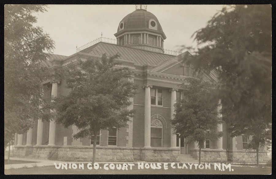
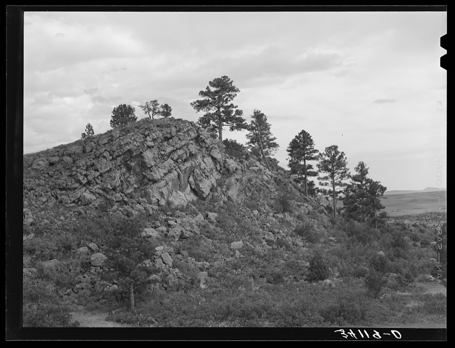
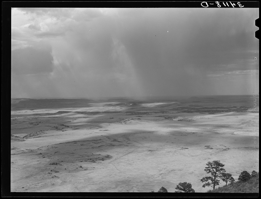
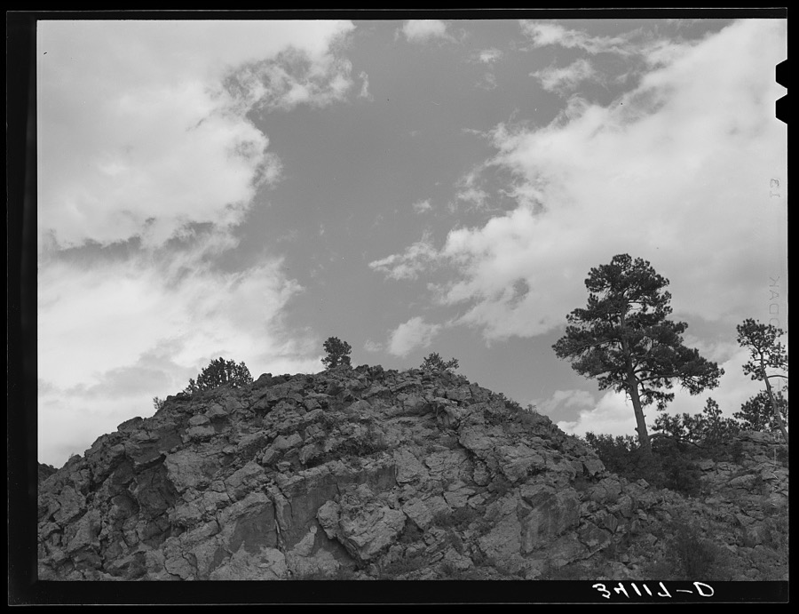
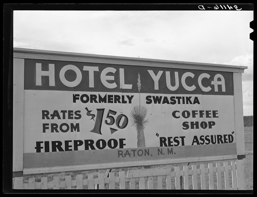
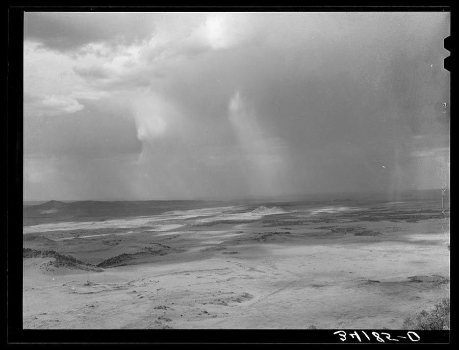
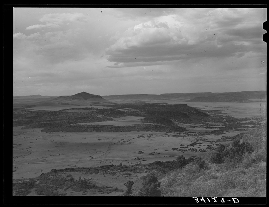
Every property in this county listed on the National Register of Historic Places, with the year it was listed and the federal nomination document.
| Photograph | Property | Type | Listed | Reference |
|---|---|---|---|---|
 | Amistad Gymnasium | building | 1996 | 96000264 |
| Capulin Volcano National Monument Historic District | district | 2025 | 100012378 | |
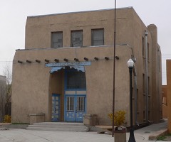 | Clayton Public Library | building | 2002 | 02001550 |
 | Clayton Public Schools Historic District | district | 1996 | 96000269 |
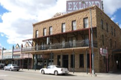 | Eklund Hotel | building | 2002 | 01001470 |
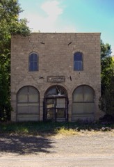 | Folsom Hotel | building | 1987 | 87000726 |
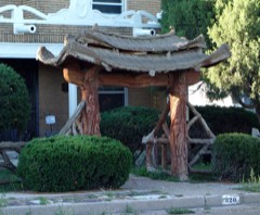 | Gate, Fence and Hollow Tree Shelter Designed by Dionicio Rodriguez | structure | 2008 | 08001138 |
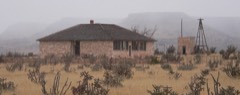 | Goodson Memorial School | building | 2003 | 02001693 |
 | Luna Theater | building | 2007 | 06001252 |
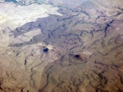 | Rabbit Ears | district | 1966 | 66000499 |
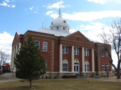 | Union County Courthouse | building | 1987 | 87000891 |
Sampled issues, machine-read from the Library of Congress scan and published page by page, so every headline and column is searchable text.
Clayton, Union County, N.M., 1906 to 19??. Machine-read from the Library of Congress scan.
Clayton, N.M., 19?? to 1954. Machine-read from the Library of Congress scan.
Clayton, Union County, N.M., 1888 to 1906. Machine-read from the Library of Congress scan.
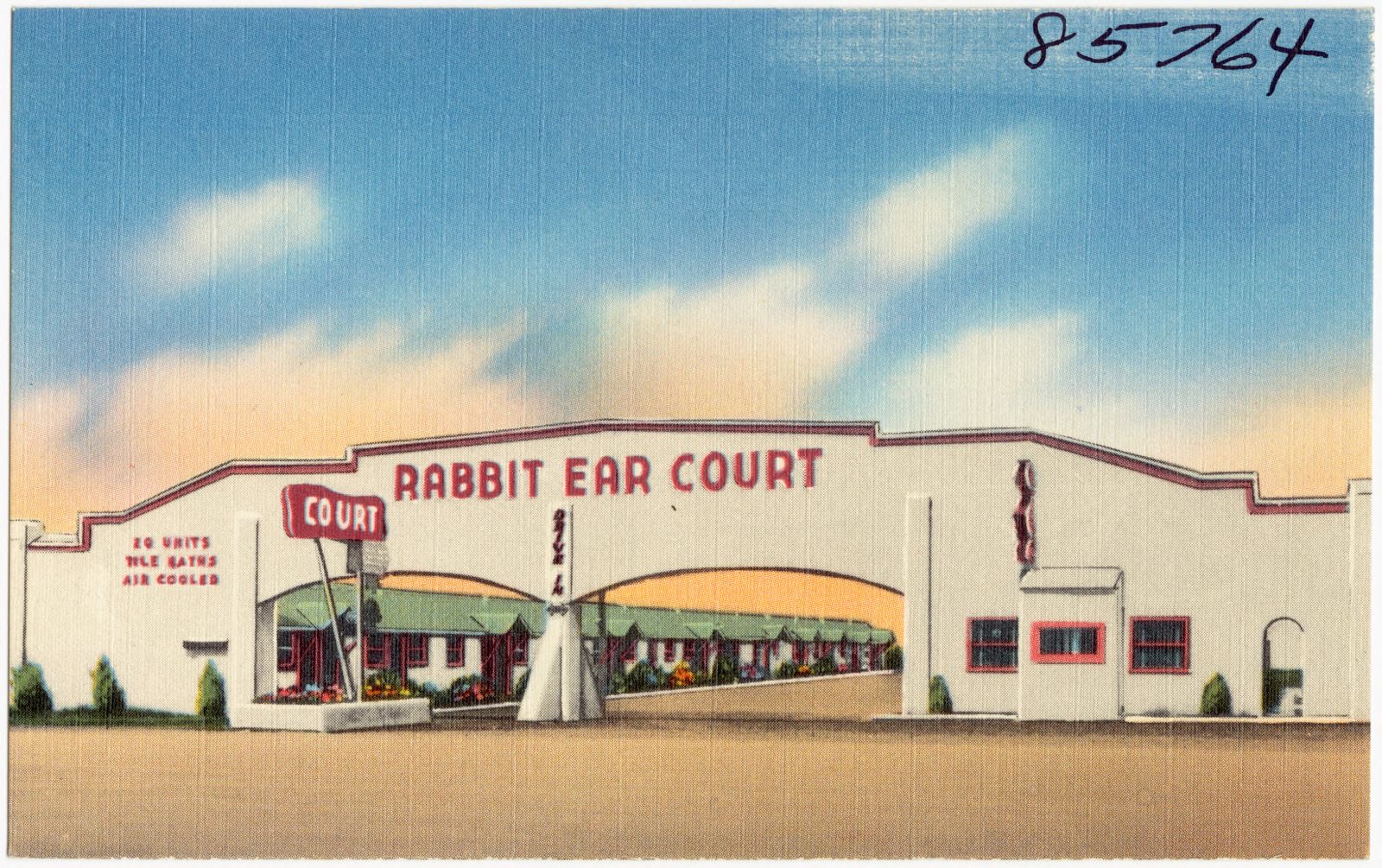
Selected from the Digital Public Library of America's 1 image records catalogued for this county. Every one shown here carries a public-domain status or a licence that permits reuse on a site that carries advertising; non-commercial, share-alike and restricted images are excluded. The selection is spread across the county's towns (at most eight per town), so no single institution's bulk upload crowds out the rest. Each opens the holding library's record, and the complete set at the Digital Public Library of America is one click away.
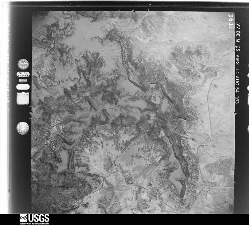
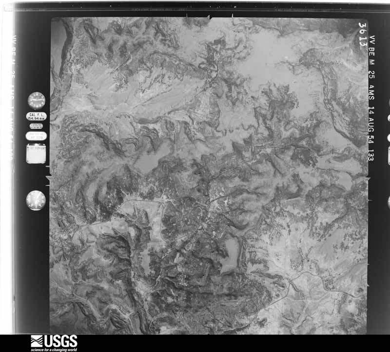
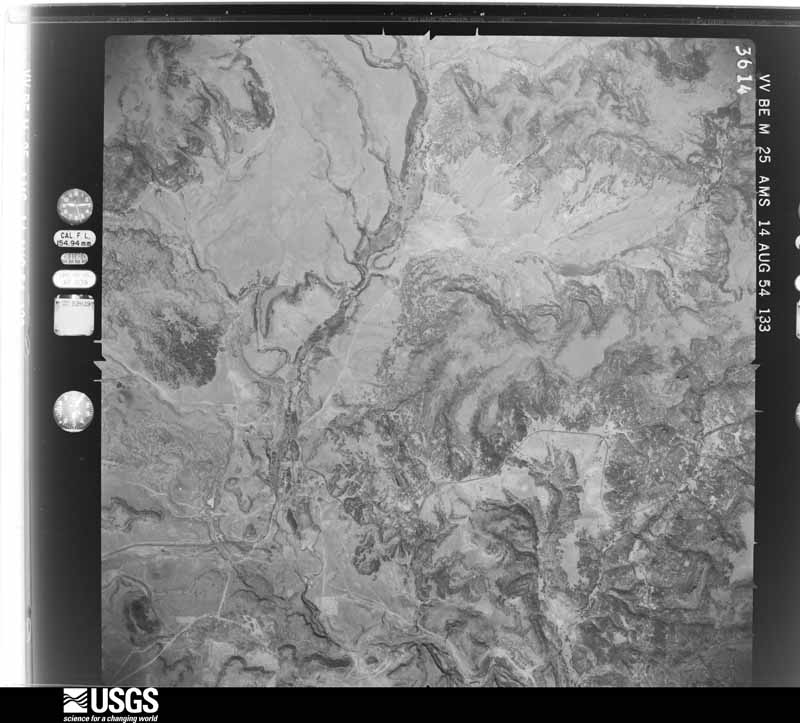
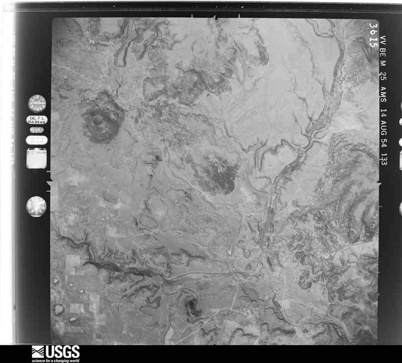
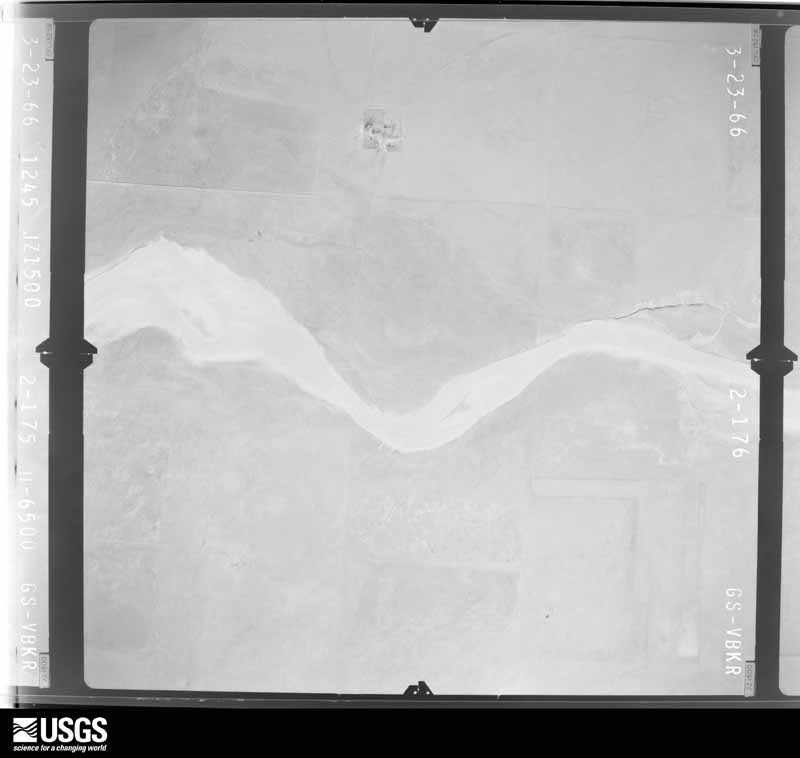
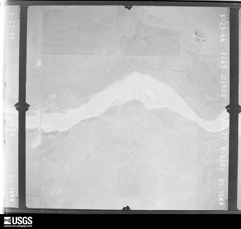
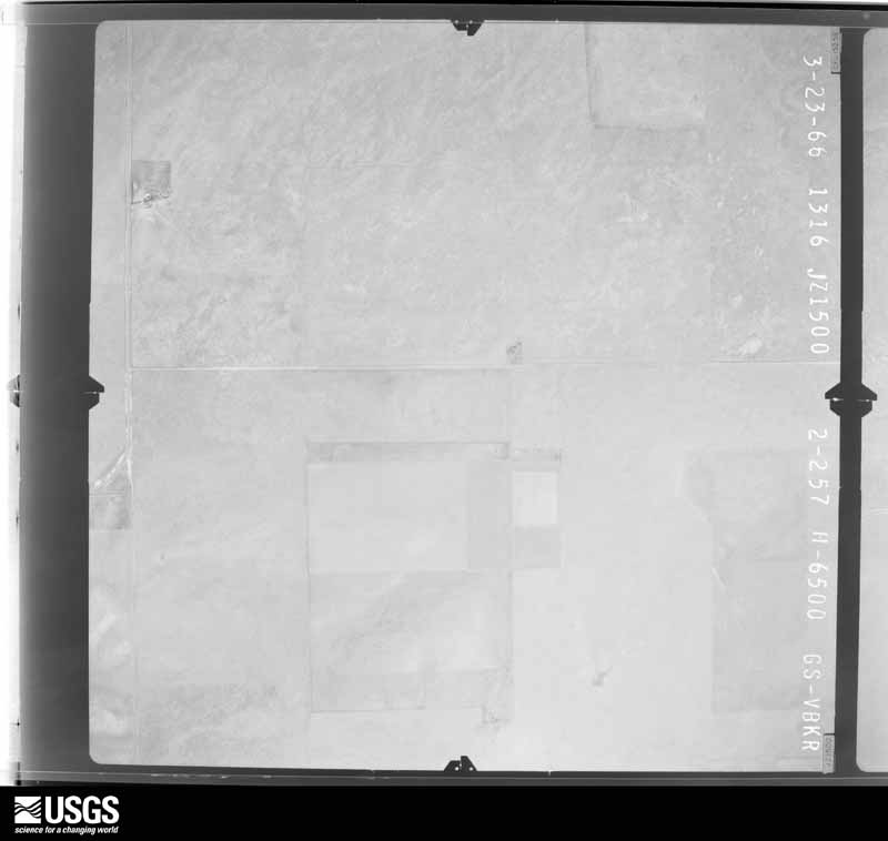
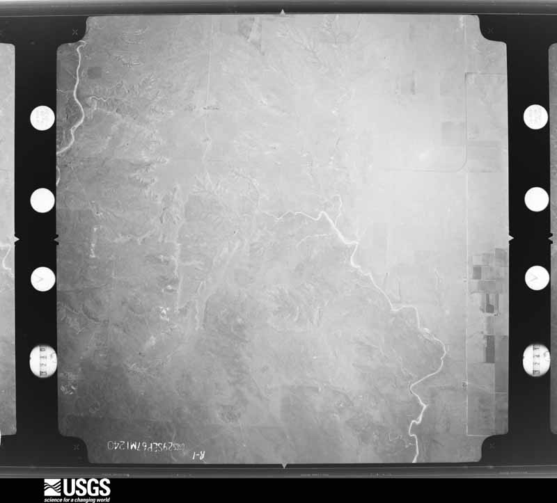
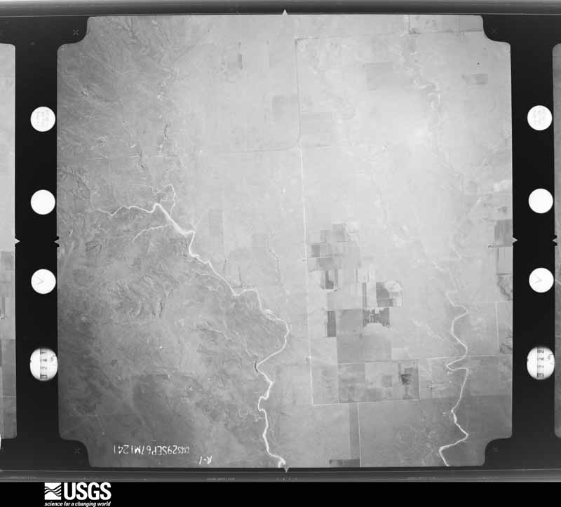
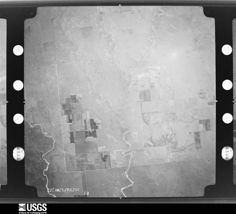
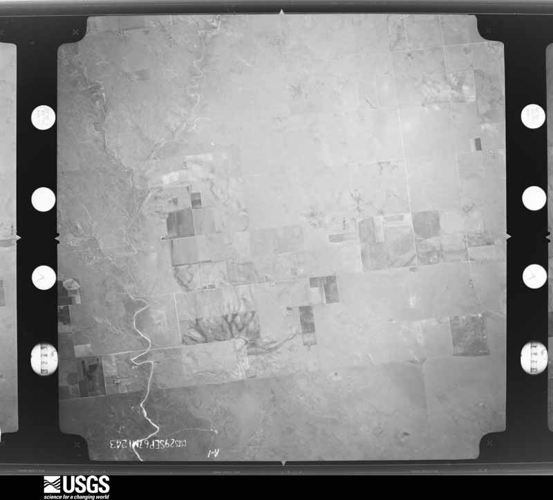
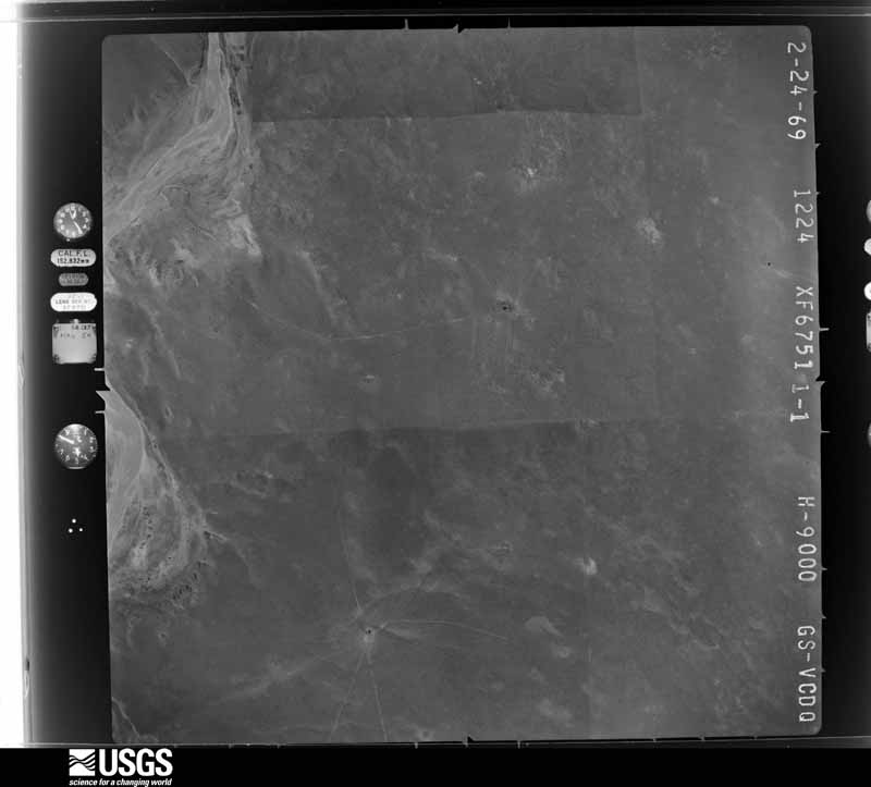
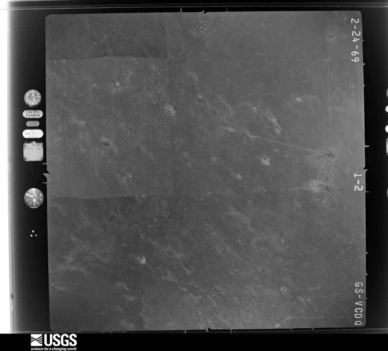
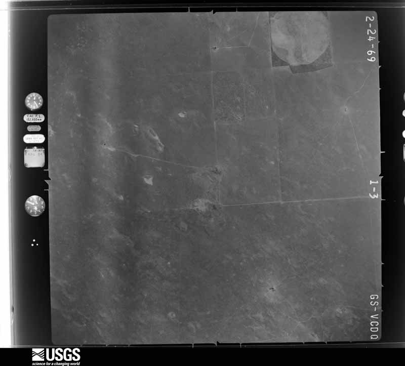
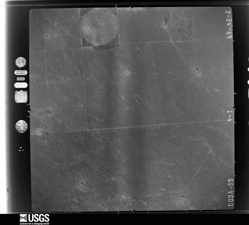
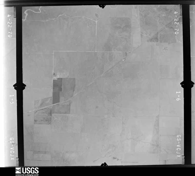
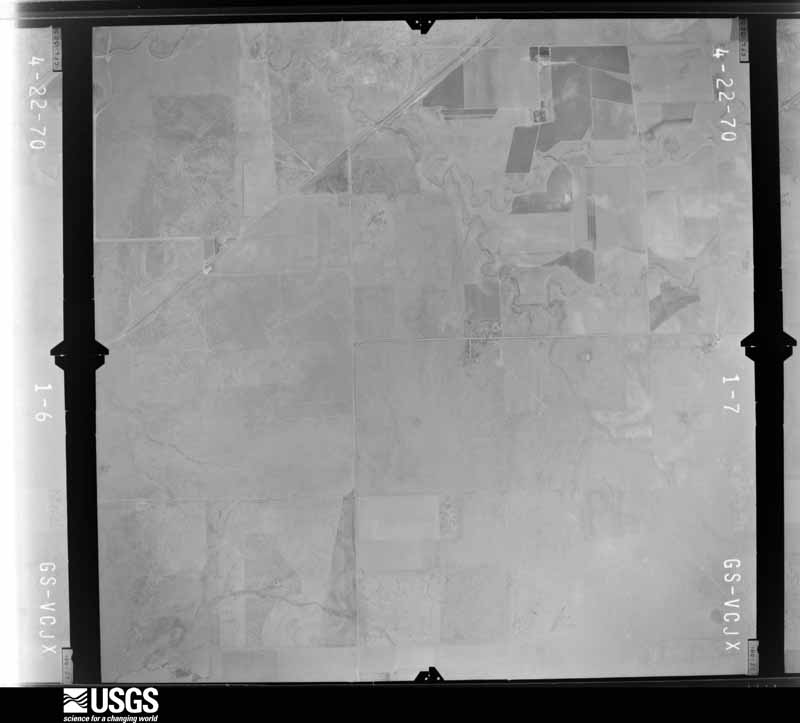
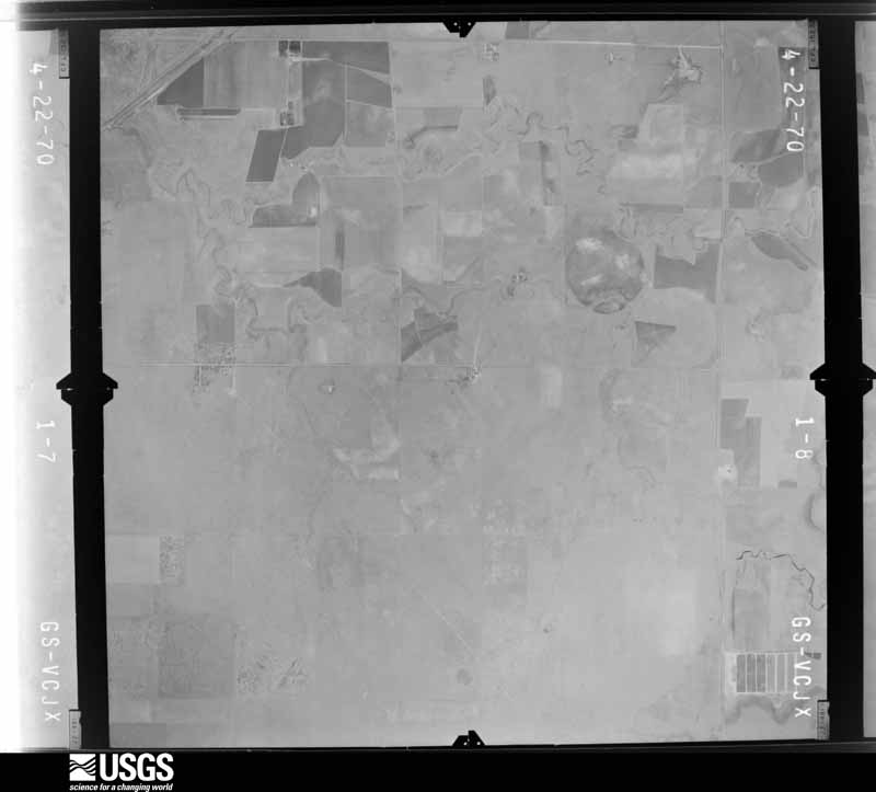
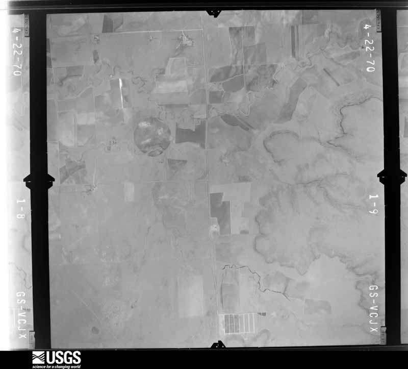
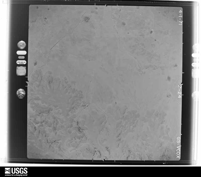
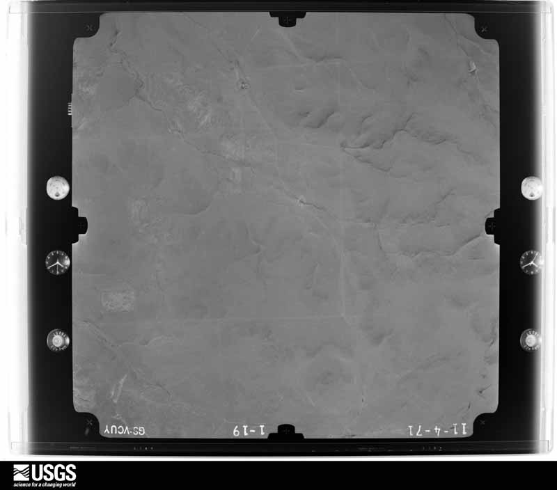
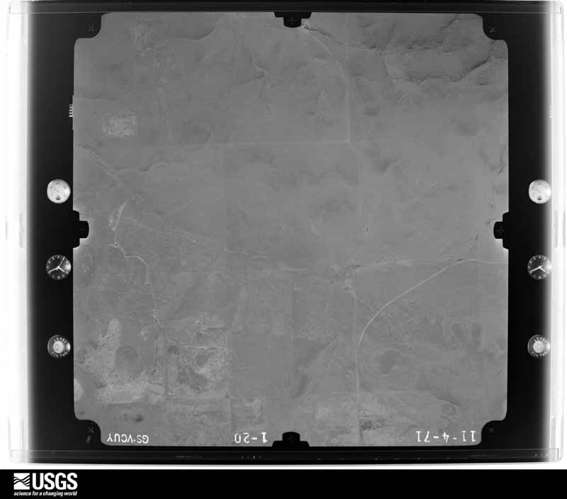
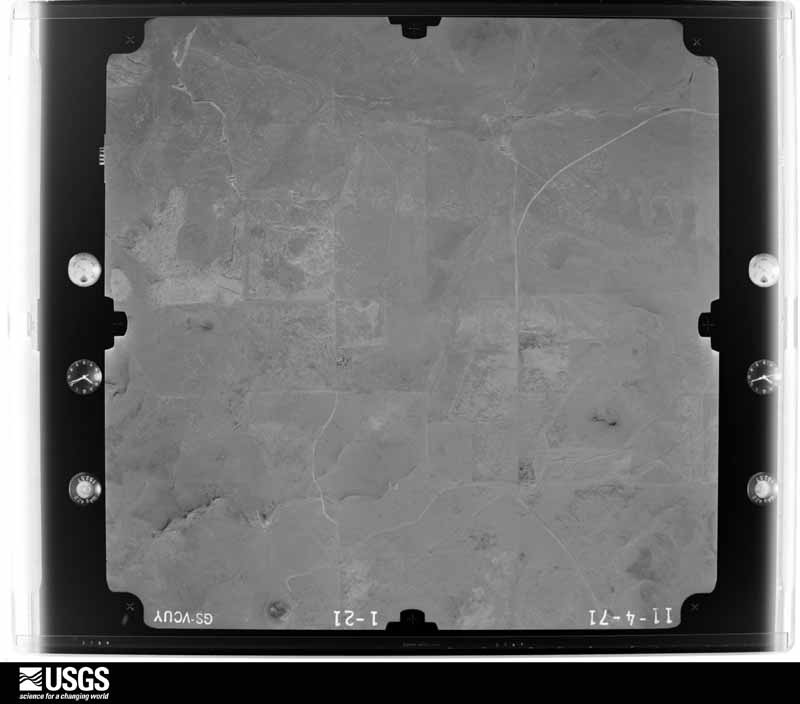
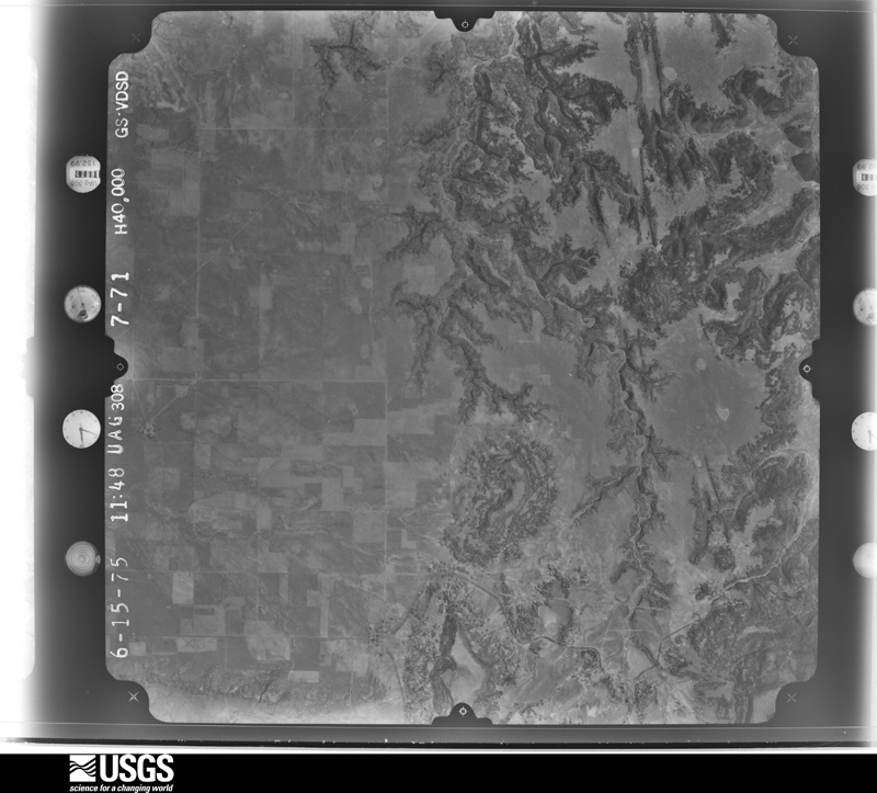
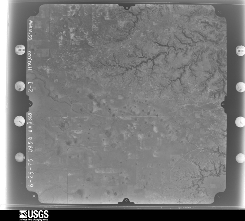
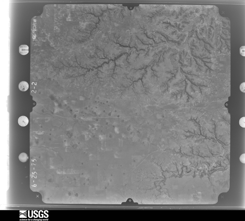
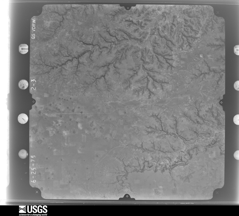
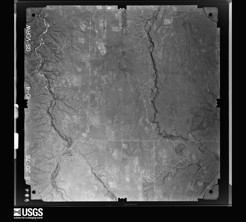
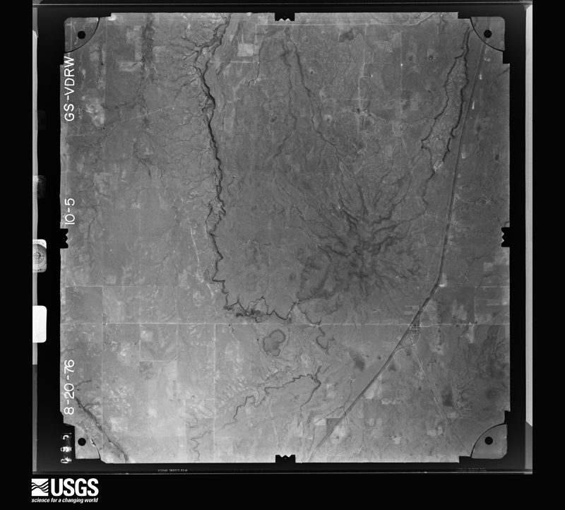
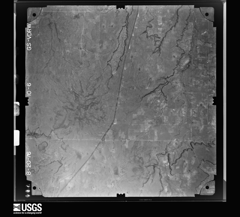
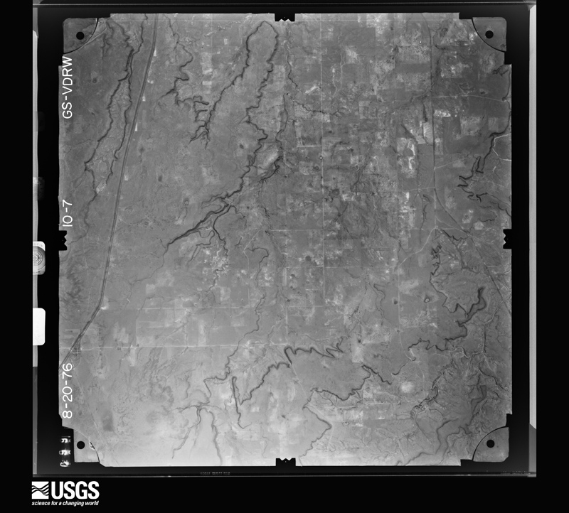
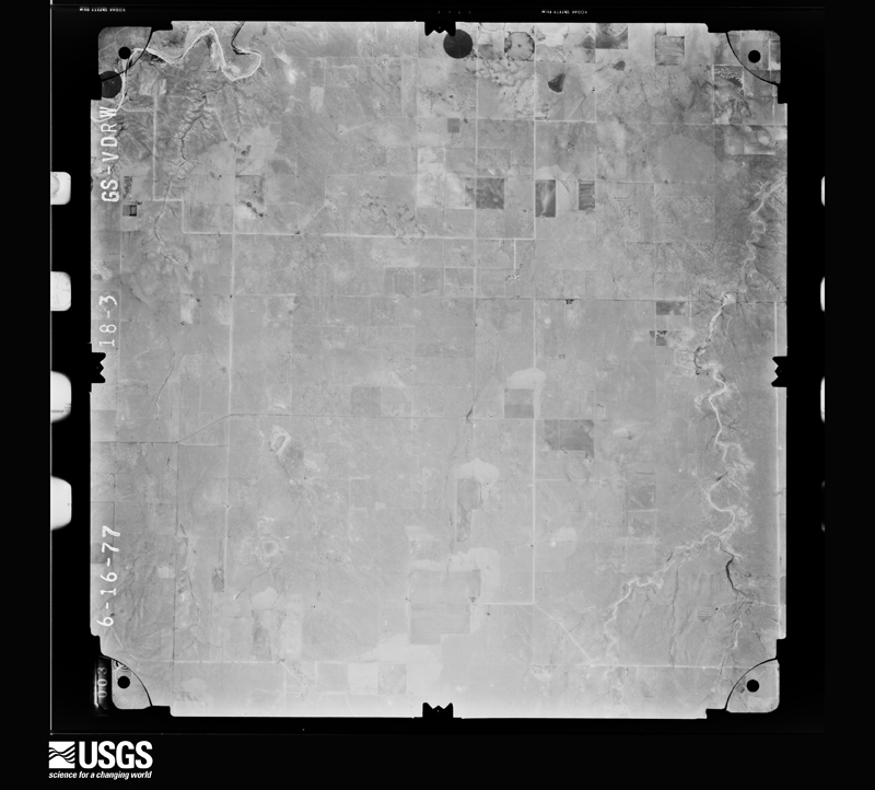
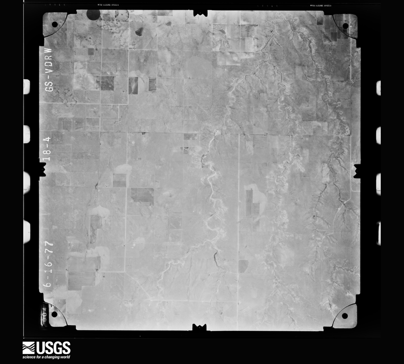
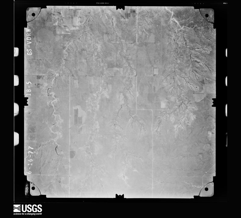
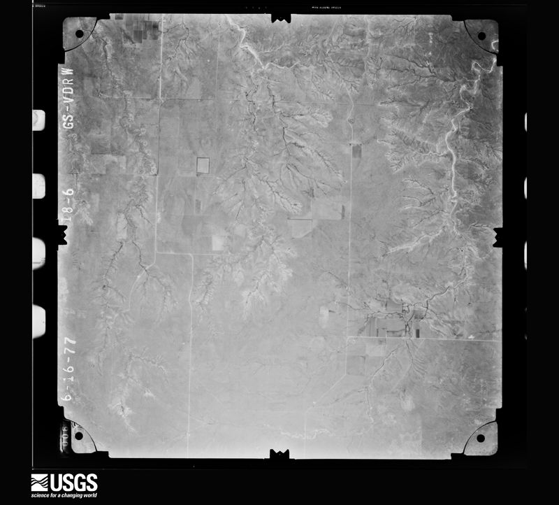
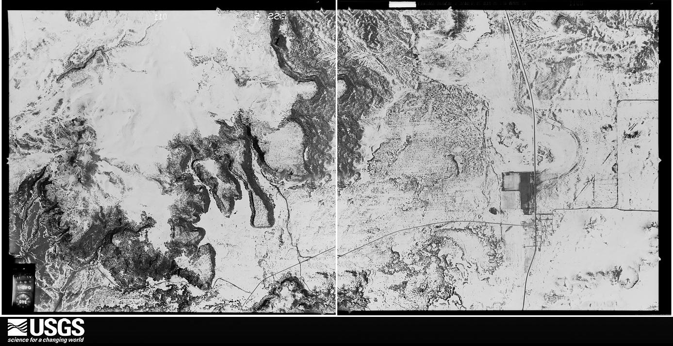
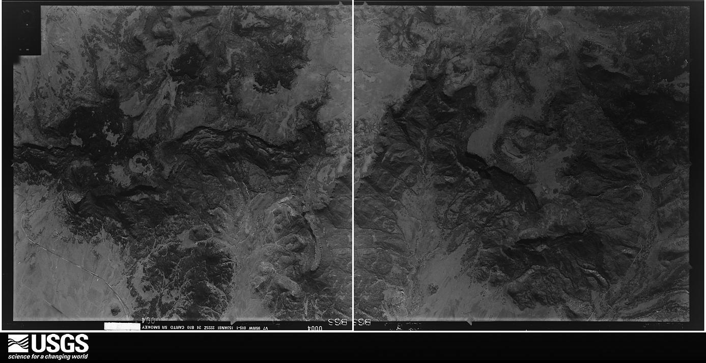
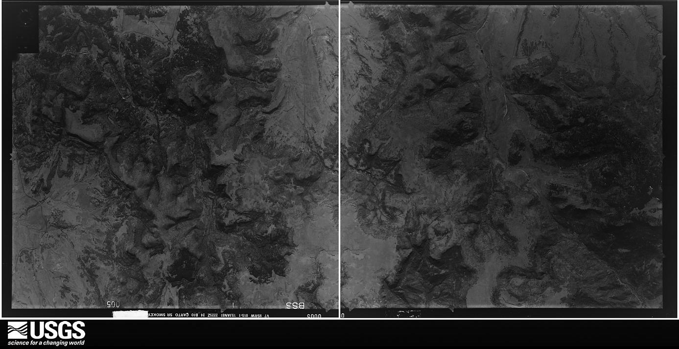
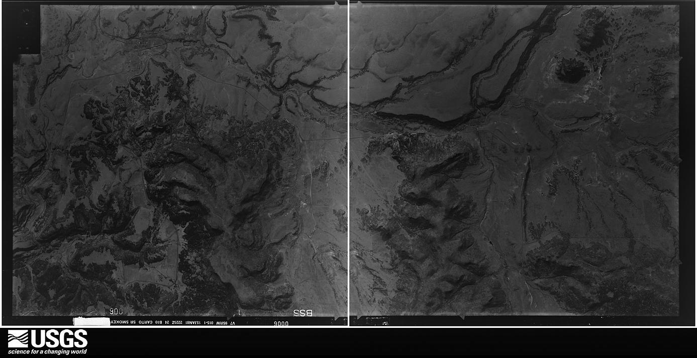
Flown by the U.S. Geological Survey between 1937 and 1989, the Aerial Photo Single Frames collection is the definitive mid-century view of the land: fields, roads and rivers as the camera saw them. The Survey holds 3,010 frames inside the rectangle that bounds this county; the 48 frames below were taken over the county itself, chosen across the decades of flights (at most four a year from that rectangle), so one flight cannot crowd out the rest. The full set is free to browse and download at EarthExplorer under the dataset Aerial Photo Single Frames.

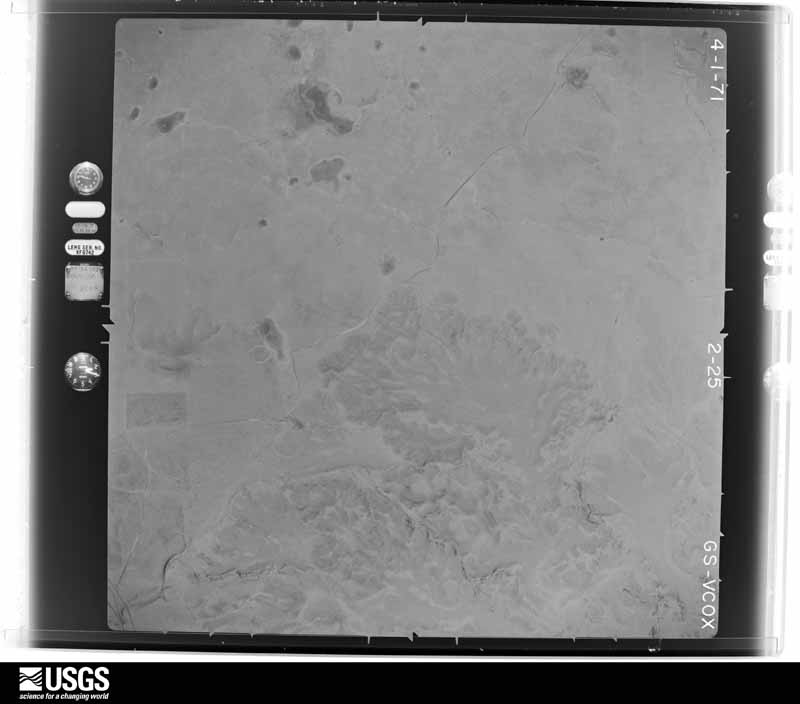
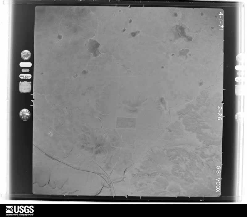
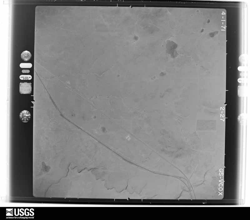
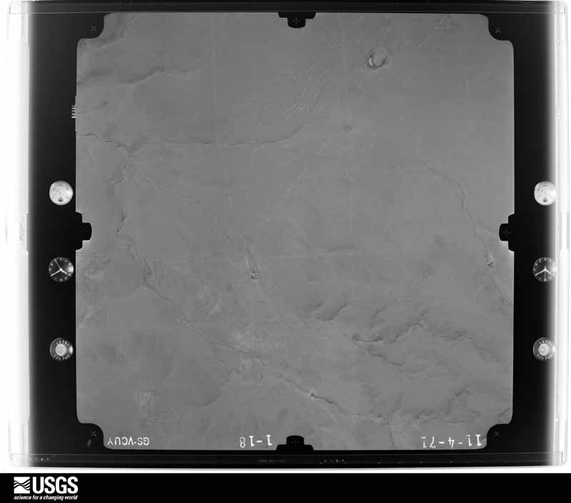
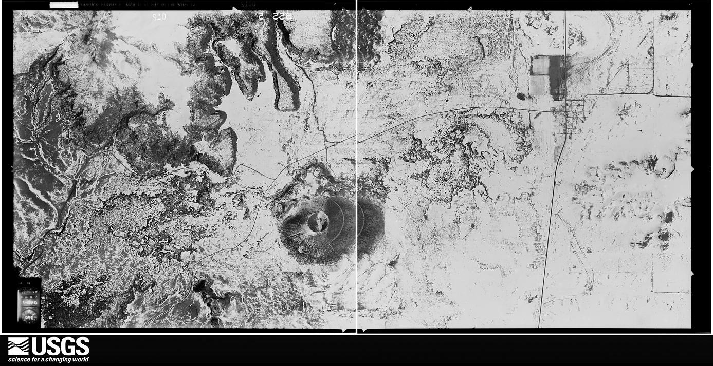
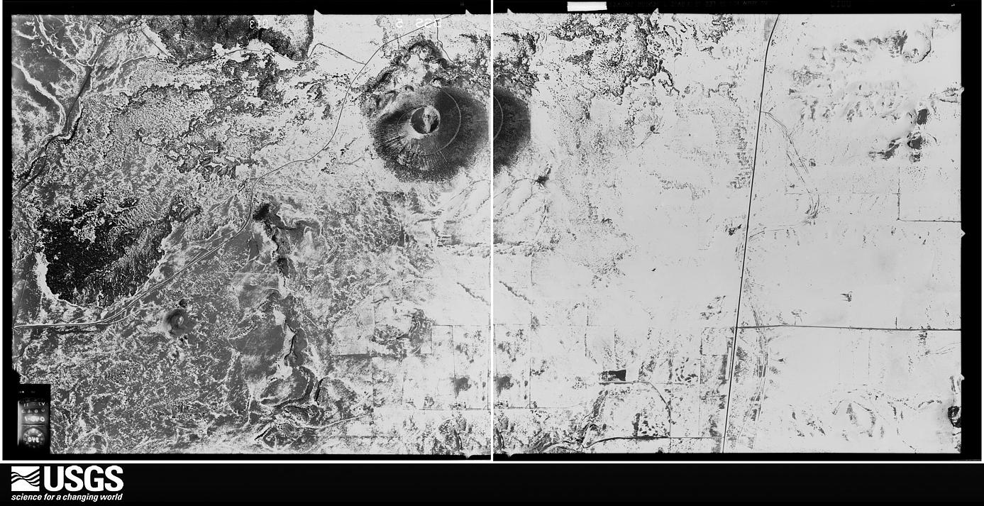
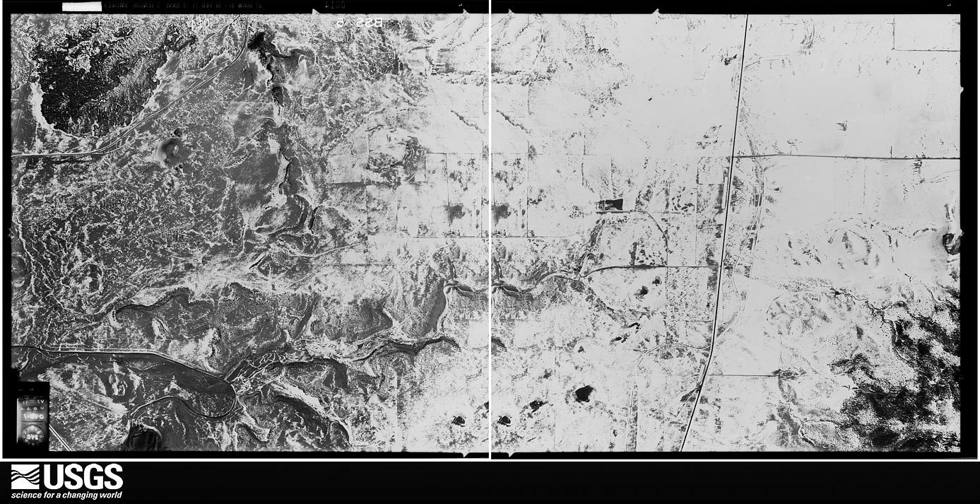
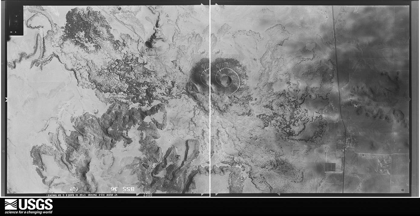
The thermometers that kept this county's weather, and the gages that measured the flow of its streams, as the federal records hold them. The extremes below are measured values from those records, not estimates.
Who lived here in 1950, one enumeration district at a time, as the Census Bureau described each district. Each row opens its official National Archives result, with Population Schedules and ED Maps available there.
Every wildfire the federal occurrence database records inside this county: 291 of them, burning about 175,468 acres. 147 started naturally and none was recorded as arson. Each settlement page carries the fires within five miles of it.
| Reported cause | Fires |
|---|---|
| Natural | 147 |
| Missing data/not specified/undetermined | 68 |
| Equipment and vehicle use | 39 |
| Power generation/transmission/distribution | 21 |
| Debris and open burning | 8 |
| Railroad operations and maintenance | 3 |
| Smoking | 3 |
| Fireworks | 1 |
| Misuse of fire by a minor | 1 |
The five largest, by the area the report gives. None of them was recorded as arson.
| Date | Cause | Size | Reported by | Name on the report |
|---|---|---|---|---|
| 9 April 2011 | Equipment and vehicle use | 24,305 acres | New Mexico State Forestry Division | RABBIT EAR |
| 15 June 2006 | Natural | 23,000 acres | New Mexico State Forestry Division | GLADSTONE COMPLEX |
| 13 April 2005 | Equipment and vehicle use | 12,350 acres | New Mexico State Forestry Division | GLADSTONE |
| 12 March 2006 | Missing data/not specified/undetermined | 11,520 acres | New Mexico State Forestry Division | CLAPHAM |
| 23 April 2006 | Natural | 7,750 acres | New Mexico State Forestry Division | FERGUSON |
| 23 March 1996 | Missing data/not specified/undetermined | 7,600 acres | New Mexico State Forestry Division | RABBIT |
| 1 June 2002 | Natural | 6,815 acres | New Mexico State Forestry Division | KENTON |
| 19 February 1994 | Missing data/not specified/undetermined | 6,060 acres | Cibola National Forest | POGUE |
Every settlement page carries the fires within five miles of it - see the settlement index below.
The NOAA Storm Events Database holds 625 reports for this county, causing no deaths, 1 injury and about $6,514,620 in recorded property damage. Each settlement page carries the reports that name it.
| Kind of event | Reports |
|---|---|
| Hail | 416 |
| Thunderstorm Wind | 110 |
| Tornado | 48 |
| Flash Flood | 31 |
| Funnel Cloud | 18 |
| Flood | 1 |
| Heavy Rain | 1 |
The most serious of them, by death, then injury, then recorded damage. The accounts are quoted exactly as the forecast office filed them.
| When | Event | Place named | Harm | What the report says |
|---|---|---|---|---|
| June 2018 | Hail | Clapham | 1 hurt, $5,000 | A severe thunderstorm with quarter size hail and strong winds busted out the windows of a home 11 miles west of Sedan. A resident inside the home was injured by flying glass and required stitches. |
| May 2023 | Hail | Des Moines | $5,000,000 | Hail damage to cars and downed tree limbs reported via mping. Damage reported is an estimate. |
| May 2010 | Tornado (EF2) | Sedan | $325,000 | There was damage to agricultural equipment. A single wide mobile home that had tie down straps was completely destroyed and the undercarriage was carried approximately 40 yards. No injuries reported. |
| May 2010 | Tornado (EF2) | (Cao)Clayton Arpt | $250,000 | Debris on Highway 56 was seen at mile post 93. Power lines were down, barbed wire fences and hay bales were all over. In addition, a steel building from a feed lot was destroyed, a cow with a broken leg was observed on the road, and a semi truck was turned over on private property. The tornado crossed the New Mexico-Oklahoma state line approximately 8.7 miles southeast of Seneca and continued into neighboring Cimarron County, Oklahoma. |
| May 2010 | Tornado (EF1) | Sedan | $125,000 | Two tornadoes were reported from the same parent supercell thunderstorm. This is the second tornado with shorter track farther north. |
| June 2023 | Hail | Clapham | $80,000 | Large hail caused vehicle and roof damage near Sedan. |
| August 2023 | Thunderstorm Wind | Clapham | $50,000 | Severe winds destroyed a wall and blew part of the roof off of an old horse barn. It also blew two fiberglass windows out of a metal barn. |
| August 2019 | Flash Flood | Capulin | $50,000 | Flash flooding over the Capulin Volcano resulted in significant damage to the roadway leading to the summit. The road will be closed until repairs are made. Damage amounts are a rough estimate based on the news article. |
| June 2017 | Hail | Sofia | $50,000 | Hail up to the size of golf balls knocked out windows of several cars and homes near the Sofia Community. |
| July 2011 | Flash Flood | Folsom | $50,000 | Rainfall rates of 2 inches in 30 minutes were reported in Folsom. Streets rapidly flooded including Highways 456 and 325. The runoff flooded some homes. |
| May 1994 | Hail | Des Moines | $50,000 | A severe thunderstorm in Union county produced hail up to ping-pong ball-size. Windows were broken out of several homes along with damage to roofs and sidings. Hail accumulated to a depth of four to five inches with some drifts nearly a foot deep. |
| August 2023 | Thunderstorm Wind | Clayton | $30,000 | The Southwestern Electric Cooperative reported severe winds having knocked down six power poles along State Highway 56 between mile markers 13 and 14 southwest of Clayton. Power was lost for a few hours. Damage is an estimate. |
| July 2021 | Flash Flood | Grenville | $30,000 | Heavy rain in Grenville resulted in flash flooding. Union County law enforcement reported one car that was washed into a ditch as well as a truck that was washed into a median along U.S. Highway 87. No injuries to either driver or passengers were reported. A Union County dispatcher also reported flooding at the Grenville cemetery, but it was unknown how deep the water there was. Damages are estimated for the loss of the two vehicles. |
| August 2020 | Flash Flood | Moses | $30,000 | A severe thunderstorm that moved eastward along the New Mexico and Colorado border produced heavy rain in northern Union County. The heavy rain produced flash flooding on the Dry Cimarron River along Highway 456. A trained spotter reported that a bridge on the highway was washed out, and the roadway was closed. No injuries were reported, and damage amounts are a rough estimate. |
| May 1972 | Tornado (F2) | not stated | $25,000 | no account filed |
| September 1965 | Tornado (F2) | not stated | $25,000 | no account filed |
| May 1962 | Tornado (F1) | not stated | $25,000 | no account filed |
| August 2025 | Hail | Hayden | $20,000 | Hail up to ping pong balls caused broken windows, dents in cars, and resulted in the death of at least 27 birds a few miles north of Hayden. |
| June 2023 | Hail | Pasamonte | $20,000 | Initially reported golf ball sized hail. Hail diameter grew to tennis to baseball size hail around Pasamonte. Significant damage to homes and vehicles. Downed tree branches. Bank full flows on area creeks. Damage cost is an estimate. |
| August 2015 | Hail | Capulin | $20,000 | The first storm over the observer's location produced tennis ball size hail that broke 3 skylights of a house, and dented a car and broke its windows. |
| August 2011 | Thunderstorm Wind | Clayton | $20,000 | Law enforcement official reported a roof blown off a home on the southwest side of Clayton. Numerous fences were also blown down in this area. |
| May 1996 | Flash Flood | Clayton | $20,000 | no account filed |
| July 2022 | Flash Flood | Sedan | $15,000 | Heavy rain of 3.5 to 4 inches caused flash flooding south of Clayton. A trained spotter reported that the heavy rain caused Carrizo Creek to overflow its banks. Standing water and debris was reported across area roadways and within fields. Damages are estimated. |
| August 2015 | Flash Flood | Capulin | $15,000 | Heavy rains caused a mud slide along a mile stretch of roadway that leads to the top of the Capulin National Monument. The debris included mud and boulders that were up to 55 pounds in weight. The road remained closed into the afternoon on the 14th as staff attempted to clear the debris. |
| May 1996 | Tornado (F0) | Sedan | $15,000 | no account filed |
| September 2010 | Flash Flood | Gladstone | $12,000 | Several roads were washed out around Gladstone. A house 8 miles south southeast of Gladstone had three feet of water in it and the owner had his Mercedes Benz car carried one quarter mile away by rapidly flowing water. |
| August 2024 | Thunderstorm Wind | Clayton | $10,000 | Large live tree snapped and damaged utility power lines at 2nd and Main Street in Clayton, NM. |
| June 2023 | Hail | Seneca | $10,000 | Ping pong size hail was reported to have broken one window and several west facing vehicle windshields. |
| May 2010 | Tornado (EF1) | Amistad | $10,000 | Damage to residence located just northwest of Amistad. |
| August 2008 | Flash Flood | Guy | $10,000 | County road B18 was damaged due to the Travesser Creek overflowing its banks. |
| August 2007 | Hail | Clayton | $10,000 | The general public and law enforcement officials reported car windshields broken by golf ball-sized hail along Highway 56. A garden and greenhouse were damaged at a nursery and several homes suffered broken windows and skylights. The hail dented kitchen appliances inside one home as it fell through the skylight. |
| June 2013 | Thunderstorm Wind | Grenville | $7,500 | Semi trailer blown over on Highway 64 three miles to the east southeast of Grenville. Law enforcement relayed this trailer was empty and parked at a home. |
| August 2015 | Hail | Des Moines | $7,000 | Spotter reported notable vehicle dent damage due to the golf ball size hail. |
| September 2024 | Thunderstorm Wind | Clayton | $5,000 | Severe wind gusts from a storm heading directly toward Texline, TX blew through Clayton, NM, knocking out power for to an estimated 15 hours. Three power poles were reported down by the Southwestern Electric Cooperative. |
| May 2024 | Hail | Clayton | $5,000 | Storm spotters reported quarter to golf ball size hail along U.S. Highway 56 near the Otto Cemetery southwest of Clayton. |
| May 2024 | Thunderstorm Wind | Clayton | $5,000 | Powerlines down along U.S. Highway 56 near Otto Cemetery southwest of Clayton from damaging thunderstorm wind gusts. |
| July 2023 | Thunderstorm Wind | Capulin | $5,000 | A COOP observer in Capulin reported that a severe wind gust originating from a dying thunderstorm blew down their shed and broke off tree branches up to 6 inches in diameter. Damage is an estimate of the shed. |
| May 2021 | Hail | Capulin | $5,000 | A COOP observer near Capulin reported 1 inch to 1.5 inch hail from a severe thunderstorm moving eastward through the area. The hail accumulated to about an inch at their location. The observer also reported that the glass of their greenhouse was broken and the hail tore holes in their plastic gutter. Damages are estimated for the property damage to the greenhouse and gutters. |
| July 2019 | Flash Flood | Amistad | $5,000 | Heavy rainfall produced flash flooding along state road 402 around Amistad. One vehicle was washed off the roadway but fortunately no one was killed or injured. The vehicle appeared to have suffered only minor water damage and amounts are a very rough estimate. |
| August 2015 | Thunderstorm Wind | (Cao)Clayton Arpt | $5,000 | Fire chief reported thunderstorm wind damage on the east side of Clayton, mainly along U.S. highway 56. The most notable damage was road signs being blown onto the roadways. Heavy rain and pea size hail was also reported in this area. |
| July 2014 | Flash Flood | Capulin | $5,000 | Intense rainfall caused a mudslide over Volcano Rd. at the Capulin Volcano National Monument. The road was closed the following day for debris removal. |
| August 2013 | Flash Flood | Des Moines | $5,000 | Damage reported to several trees, some fence, and sections of Ridge Road near Travecere Road from flash flooding on nearby Travecere Creek. |
| July 2009 | Thunderstorm Wind | Gladstone | $5,000 | The roof of a barn was torn off when gusty winds moved through the area. |
| August 2008 | Flash Flood | Hayden | $5,000 | State highway 402 had 6 to 12 inches of standing water 3 miles north northwest of Amistad. |
| July 1994 | Thunderstorm Wind | Amistad | $5,000 | no account filed |
| July 2010 | Flash Flood | Clayton | $4,000 | State Route 370 was impassable due to water covering much of the road between Clayton and Clayton Lake State Park, as several creeks overflowed their banks. Several motorists were stranded. |
| August 2007 | Hail | Clayton | $4,000 | Large hail damaged several vehicles at Clayton Lake State Park and cracked a window at the visitor center. |
| August 2015 | Thunderstorm Wind | Clayton | $3,000 | Fire chief reported a 68 mph wind gust at the fire station. This wind blew down 2 trees in a nearby alley as well as the personal weather station on site. |
| May 1972 | Tornado (F1) | not stated | $2,500 | no account filed |
| May 2018 | Thunderstorm Wind | Grenville | $2,000 | The combination of large hail and severe wind gusts downed several tree branches and completely destroyed a greenhouse. Hail accumulated 3 to 4 inches. |
| July 2011 | Flash Flood | Folsom | $2,000 | Water was approximately four feet deep over Highway 456 at the Dry Cimarron River Crossing approximately 10 miles east of Folsom. A few fences were washed out due to the high water. |
| August 2008 | Flash Flood | Grande | $2,000 | The water was one foot deep along county road B12 due to flooding along Corrumpa Creek. |
| June 2025 | Hail | Pasamonte | $1,500 | The COOP observer at Pasamonte Ranch observed golf ball to tennis ball size hail from a supercell thunderstorm. The large hail damaged the COOP observer weather station instruments. |
| May 2023 | Hail | Clapham | $1,000 | Hail damage to skylights was reported. Damage is an estimate. |
| August 2023 | Hail | Des Moines | $1,000 | A home window was knocked out by copious amounts of golf ball size hail. |
| June 2023 | Hail | Gladstone | $1,000 | Clayton PD reported a 911 call from a person in Gladstone whose car window was fractured by large hail. |
| June 2018 | Hail | Amistad | $1,000 | A severe thunderstorm with strong winds and hail up to the size of quarters produced damage to a skylight and partially flooded a barn near Amistad. The observer also reported that nearly 100 birds were killed in the storm. Damage amounts are estimated. |
| August 2017 | Thunderstorm Wind | Seneca | $1,000 | Combination of strong wind gusts and hail broke windows at home in Seneca. |
| August 2017 | Hail | Sedan | $1,000 | Hail up to the size of golf balls with strong winds broke out windows at home in Sedan. |
| June 2015 | Thunderstorm Wind | Pasamonte | $1,000 | Trained spotter reported that large hail and strong winds caused 4 inch diameter tree limps to snap. |
The Survey's mineral resources record lists 130 workings inside this county. 20 still produce and 110 are closed or unrecorded. Each settlement page carries the workings within five miles of it.
| Commodity | Workings |
|---|---|
| Sand and Gravel, Construction | 122 |
| Pumice | 2 |
| Volcanic Materials | 1 |
| Limestone, General | 1 |
| Copper | 1 |
| Silver, Iron, Copper | 1 |
| Gold | 1 |
| Copper, Silver | 1 |
The least common of them first, because a county's hundredth gravel pit says nothing its first ten did not.
| Where | Site | Commodity | Status | Recorded |
|---|---|---|---|---|
| Arnett Pit | Limestone, General | Producer | Caliche | |
| Black Mesa Prospect | Silver, Iron, Copper | Past Producer | ||
| Folsom Area | Gold | Occurrence | ||
| Peacock Canyon Prospects | Copper | Past Producer | ||
| San Miguel Mine | Copper, Silver | Producer | ||
| Twin Mountain Rock Quarry | Volcanic Materials | Producer | Scoria | |
| Twin Mountain Rock Mine | Pumice | Producer | ||
| Vandaveer | Pumice | Past Producer | ||
| 58 133 F | Sand and Gravel, Construction | Unknown | ||
| 59 78 S | Sand and Gravel, Construction | Unknown | ||
| Anglin Trust Pit | Sand and Gravel, Construction | Past Producer | ||
| Atkinson Cattle Pit | Sand and Gravel, Construction | Unknown | ||
| Baby Capulin | Sand and Gravel, Construction | Producer | ||
| Bary Capulin | Sand and Gravel, Construction | Producer | ||
| Capulin Mountain | Sand and Gravel, Construction | Unknown | ||
| Capulin Mountain | Sand and Gravel, Construction | Unknown | ||
| Cinder Mountain Pit | Sand and Gravel, Construction | Producer | ||
| Colomex Pit | Sand and Gravel, Construction | Unknown | ||
| Colorado & Southern Ballast Pit | Sand and Gravel, Construction | Unknown | ||
| Independence Group | Sand and Gravel, Construction | Unknown | ||
| Jones Pit | Sand and Gravel, Construction | Producer | ||
| Kear Pit | Sand and Gravel, Construction | Producer | ||
| M-19204 Pit | Sand and Gravel, Construction | Producer | ||
| Materials Pit | Sand and Gravel, Construction | Unknown | ||
| Materials Pit | Sand and Gravel, Construction | Unknown | ||
| Materials Pit | Sand and Gravel, Construction | Producer | ||
| Materials Pit | Sand and Gravel, Construction | Unknown | ||
| Materials Pit | Sand and Gravel, Construction | Unknown | ||
| Materials Pit | Sand and Gravel, Construction | Unknown | ||
| Materials Pit | Sand and Gravel, Construction | Unknown | ||
| Materials Pit | Sand and Gravel, Construction | Unknown | ||
| Materials Pit | Sand and Gravel, Construction | Unknown | ||
| Materials Pit | Sand and Gravel, Construction | Unknown | ||
| Materials Pit | Sand and Gravel, Construction | Unknown | ||
| Materials Pit | Sand and Gravel, Construction | Unknown | ||
| Materials Pit | Sand and Gravel, Construction | Unknown | ||
| Materials Pit | Sand and Gravel, Construction | Unknown | ||
| Materials Pit | Sand and Gravel, Construction | Unknown | ||
| Materials Pit | Sand and Gravel, Construction | Unknown | ||
| Materials Pit | Sand and Gravel, Construction | Past Producer | ||
| Materials Pit | Sand and Gravel, Construction | Unknown | ||
| Materials Pit | Sand and Gravel, Construction | Unknown | ||
| Materials Pit | Sand and Gravel, Construction | Unknown | ||
| Materials Pit | Sand and Gravel, Construction | Unknown | ||
| Materials Pit | Sand and Gravel, Construction | Unknown | ||
| Materials Pit | Sand and Gravel, Construction | Unknown | ||
| Materials Pit | Sand and Gravel, Construction | Unknown | ||
| Materials Pit | Sand and Gravel, Construction | Unknown | ||
| Materials Pit | Sand and Gravel, Construction | Unknown | ||
| Materials Pit | Sand and Gravel, Construction | Unknown | ||
| Materials Pit | Sand and Gravel, Construction | Unknown | ||
| Materials Pit | Sand and Gravel, Construction | Unknown | ||
| Materials Pit | Sand and Gravel, Construction | Unknown | ||
| Materials Pit | Sand and Gravel, Construction | Unknown | ||
| Materials Pit | Sand and Gravel, Construction | Unknown | ||
| Materials Pit | Sand and Gravel, Construction | Unknown | ||
| Materials Pit | Sand and Gravel, Construction | Unknown | ||
| Materials Pit | Sand and Gravel, Construction | Unknown | ||
| Materials Pit | Sand and Gravel, Construction | Unknown | ||
| Materials Pit | Sand and Gravel, Construction | Unknown | ||
| Materials Pit | Sand and Gravel, Construction | Unknown | ||
| Materials Pit | Sand and Gravel, Construction | Unknown | ||
| Materials Pit | Sand and Gravel, Construction | Unknown | ||
| Materials Pit | Sand and Gravel, Construction | Unknown | ||
| Materials Pit | Sand and Gravel, Construction | Unknown | ||
| Materials Pit | Sand and Gravel, Construction | Unknown | ||
| Materials Pit | Sand and Gravel, Construction | Unknown | ||
| Materials Pit | Sand and Gravel, Construction | Unknown | ||
| Materials Pit | Sand and Gravel, Construction | Unknown | ||
| Materials Pit | Sand and Gravel, Construction | Producer | ||
| Materials Pit | Sand and Gravel, Construction | Unknown | ||
| Materials Pit | Sand and Gravel, Construction | Unknown | ||
| Materials Pit | Sand and Gravel, Construction | Unknown | ||
| Materials Pit | Sand and Gravel, Construction | Unknown | ||
| Materials Pit | Sand and Gravel, Construction | Unknown | ||
| Materials Pit | Sand and Gravel, Construction | Unknown | ||
| Materials Pit | Sand and Gravel, Construction | Unknown | ||
| Materials Pit | Sand and Gravel, Construction | Unknown | ||
| Materials Pit | Sand and Gravel, Construction | Unknown | ||
| Materials Pit | Sand and Gravel, Construction | Unknown | ||
| Materials Pit | Sand and Gravel, Construction | Unknown | ||
| Materials Pit | Sand and Gravel, Construction | Unknown | ||
| Materials Pit | Sand and Gravel, Construction | Producer | ||
| Materials Pit | Sand and Gravel, Construction | Unknown | ||
| Materials Pit | Sand and Gravel, Construction | Unknown | ||
| Materials Pit | Sand and Gravel, Construction | Unknown | ||
| Materials Pit | Sand and Gravel, Construction | Unknown | ||
| Materials Pit | Sand and Gravel, Construction | Unknown | ||
| Materials Pit | Sand and Gravel, Construction | Unknown | ||
| Materials Pit | Sand and Gravel, Construction | Unknown | ||
| Materials Pit | Sand and Gravel, Construction | Unknown | ||
| Materials Pit | Sand and Gravel, Construction | Unknown | ||
| Materials Pit | Sand and Gravel, Construction | Unknown | ||
| Materials Pit | Sand and Gravel, Construction | Unknown | ||
| Materials Pit | Sand and Gravel, Construction | Producer | ||
| Pit #52 42 S | Sand and Gravel, Construction | Unknown | ||
| Pit #56 27 8 | Sand and Gravel, Construction | Unknown | ||
| Pit #56 43 5 | Sand and Gravel, Construction | Unknown | ||
| Pit #56 60 S | Sand and Gravel, Construction | Unknown | ||
| Pit #56 61 F | Sand and Gravel, Construction | Unknown | ||
| Pit #56 81 S | Sand and Gravel, Construction | Unknown | ||
| Pit #57 111 F | Sand and Gravel, Construction | Unknown | ||
| Pit #57 112 S | Sand and Gravel, Construction | Producer | ||
| Pit #57 57 S | Sand and Gravel, Construction | Unknown | ||
| Pit #58 109 F | Sand and Gravel, Construction | Unknown | ||
| Pit #58 112 S | Sand and Gravel, Construction | Producer | ||
| Pit #58 122 F | Sand and Gravel, Construction | Unknown | ||
| Pit #59 08 S & 59 78 S | Sand and Gravel, Construction | Unknown | ||
| Pit #59 106 F | Sand and Gravel, Construction | Producer | ||
| Pit #60 30 F | Sand and Gravel, Construction | Unknown | ||
| Pit #64 27 S | Sand and Gravel, Construction | Unknown | ||
| Pit #64 28 S | Sand and Gravel, Construction | Unknown | ||
| Pit #64 30 F | Sand and Gravel, Construction | Unknown | ||
| Pit #64 32 F | Sand and Gravel, Construction | Unknown | ||
| Pit #64 33 F | Sand and Gravel, Construction | Unknown | ||
| Pit #64 35 S | Sand and Gravel, Construction | Unknown | ||
| Pit #64 57 S | Sand and Gravel, Construction | Unknown | ||
| Pit #69 17 S | Sand and Gravel, Construction | Unknown | ||
| Pit #69 18 S | Sand and Gravel, Construction | Unknown | ||
| Pit #69 19 S | Sand and Gravel, Construction | Unknown | ||
| Pit #73 05 S | Sand and Gravel, Construction | Unknown | ||
| Pit #73 06 F | Sand and Gravel, Construction | Unknown | ||
| Pit #73 14 S | Sand and Gravel, Construction | Unknown | ||
| Pit #73 15 S | Sand and Gravel, Construction | Unknown | ||
| Pit #77 02 S | Sand and Gravel, Construction | Unknown | ||
| Pit #77 06 S | Sand and Gravel, Construction | Unknown | ||
| Quarry Pasture 73-4-S | Sand and Gravel, Construction | Producer | Sedimentary | |
| Seneca Pit | Sand and Gravel, Construction | Producer | ||
| State Pit 69 23 S | Sand and Gravel, Construction | Producer | ||
| Two Materials Pits | Sand and Gravel, Construction | Unknown |
Named settlements recorded in the Geographic Names Information System, each with the topographic sheets covering it. Villages, hamlets and abandoned places alike. Each is shown with the nearest named watercourse or landform and the survey quadrangle it falls on. The 1 place that was also surveyed for fire insurance comes first, with the number of atlases and photographs held for them.
Clayton South census division · 88415 · Clayton quadrangle
8 sheets, 1954 to 1998
Fire insurance: 7 atlases
Clayton North census division · 88415 · Near Trujillo Canyon · Atencio quadrangle
8 sheets, 1954 to 1982
Clayton South census division · 88430 · Near Fullingim Draw · Amistad SE quadrangle
4 sheets, 1954 to 1971
Clayton South census division · 88430 · Centerville Corner quadrangle
4 sheets, 1954 to 1971
Clayton North census division · 88418 · On Spring Creek · Fiddler Springs quadrangle
8 sheets, 1954 to 1982
No longer a settlement
Clayton North census division · 88418 · Cuates School quadrangle
8 sheets, 1954 to 1982
No longer a settlement
Clayton North census division · 88418 · Near Dunchee Hill · Des Moines quadrangle
8 sheets, 1954 to 1982
Clayton North census division · 88419 · Near Negro Mesa · Emery Peak quadrangle
8 sheets, 1954 to 1982
No longer a settlement
Clayton North census division · 88419 · Near Buffalo Head · Folsom quadrangle
9 sheets, 1954 to 1982
Clayton South census division · 88415 · Garcia Creek quadrangle
7 sheets, 1954 to 1982
No longer a settlement
Clayton South census division · 88422 · On Wilson Arroyo · Gladstone quadrangle
7 sheets, 1954 to 1982
Clayton North census division · 88418 · Near Little Grande · Little Grande quadrangle
8 sheets, 1954 to 1982
Clayton North census division · 88424 · Near Cherry Canyon · Grenville quadrangle
8 sheets, 1954 to 1982
Clayton North census division · 88419 · Near Emery Peak · Emery Peak quadrangle
8 sheets, 1954 to 1982
No longer a settlement
Clayton North census division · 88415 · Near Rinker Draw · Moses quadrangle
9 sheets, 1954 to 1998
Clayton North census division · 88415 · Near Rinker Draw · Moses quadrangle
9 sheets, 1954 to 1998
Clayton North census division · 88415 · Near Rinker Draw · Moses quadrangle
9 sheets, 1954 to 1998
Clayton South census division · 88424 · Tate School quadrangle
7 sheets, 1954 to 1982
No longer a settlement
Clayton North census division · 88418 · Fiddler Springs quadrangle
8 sheets, 1954 to 1982
No longer a settlement
The vanished settlements of Union County: the places named above that are no longer on the map.
8 topographic sheets and 7 fire insurance atlases, 1902 to 1939