 Block
Carnuel, New Mexico
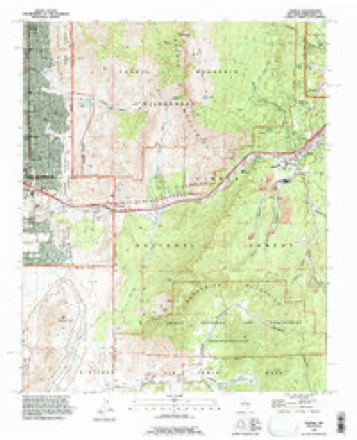
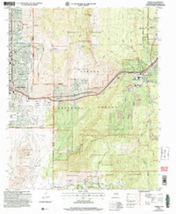
21 topographic sheets cover this place, the earliest surveyed in 1892 and the latest in 2006. It stands in the East Bernalillo census division. It lies in ZIP code area 87123. It lies near Echo Canyon. The Survey maps it on the Tijeras quadrangle. 1,019 people lived here at the 2020 count. It stands 5,860 feet above sea level.
Population over time
2 figuresCarnuel fell from 1,232 to 1,019 between 2010 and 2020. These are the recorded population figures Wikidata holds for this place, reached through the Geographic Names Information System number this page is keyed on rather than by name, so they belong to this place and not to another of the same name. Most are census counts, but not all are: an early figure may be a founding or settlement estimate, and an estimate published within five years of a census is left out. The change column is computed, and is left blank where more than 20 years separate a figure from the one before it, because a gap that long is not a change between two counts.
| Year | People | Change |
|---|---|---|
| 2010 | 1,232 | |
| 2020 | 1,019 | -213 (-17%) |
Topographic sheets covering this place
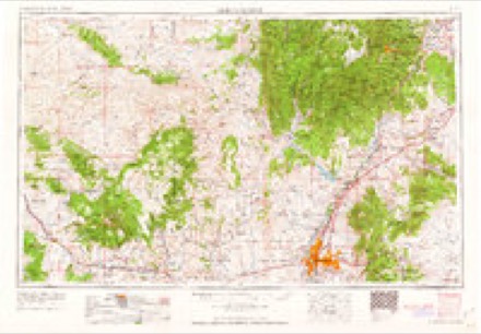
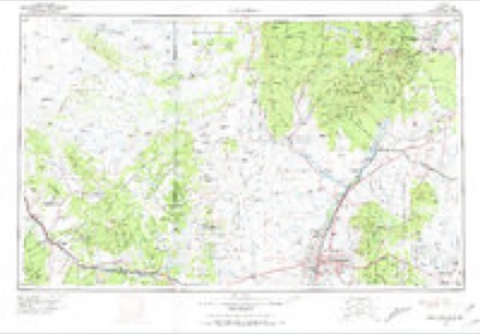
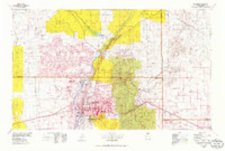
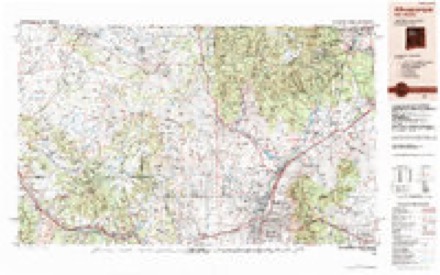
10 surveys from 21 printed sheetsMatched by testing this settlement's coordinate against the published boundary of every sheet in the United States Geological Survey's historical collection. Each opens the scanned sheet at the Survey.
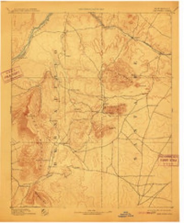
- 1892 USGS San Pedro quadrangle1:125000, 5 printings
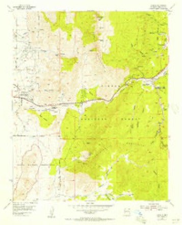
- 1954 USGS Tijeras quadrangle1:24000, 2 printings
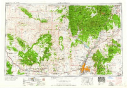
- 1958 USGS Albuquerque quadrangle1:250000
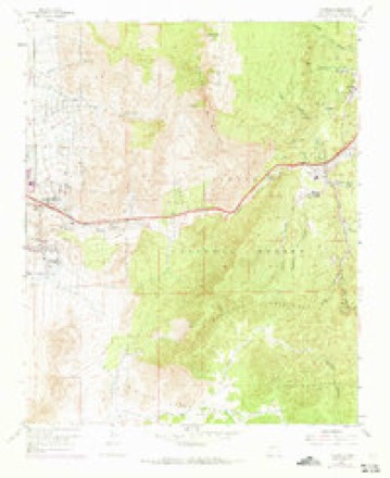
- 1961 USGS Tijeras quadrangle1:24000, 5 printings
- 1962 USGS Albuquerque quadrangle1:250000
- 1963 USGS Albuquerque quadrangle1:250000, 3 printings
- 1978 USGS Albuquerque quadrangle1:100000
- 1983 USGS Albuquerque quadrangle1:250000
- 1990 USGS Tijeras quadrangle1:24000
- 2006 USGS Tijeras quadrangle1:24000
Fires near this place
113 since 1992Regional context, not property-specific evidence. The federal wildfire occurrence database lists 113 fires within 5 miles of Carnuel between 1992 and 2020, burning about 1,092 acres in total. 26 started naturally. 5 were recorded as arson. Distance is straight-line from the map coordinates, so a fire counted here may appear on a neighbouring settlement's page as well.
| Reported cause | Fires |
|---|---|
| Missing data/not specified/undetermined | 40 |
| Natural | 26 |
| Recreation and ceremony | 19 |
| Equipment and vehicle use | 8 |
| Misuse of fire by a minor | 7 |
| Arson/incendiarism | 5 |
| Debris and open burning | 3 |
| Power generation/transmission/distribution | 2 |
| Other causes | 2 |
| Smoking | 1 |
The most recent of them, most recent first, with the day each was reported and the service that recorded it.
| Date | Cause | Size | Reported by | Name on the report |
|---|---|---|---|---|
| 14 September 2019 | Natural | 1.8 acres | Cibola National Forest | HAWK WATCH |
| 6 August 2000 | Natural | under an acre | Cibola National Forest | EMBUDITO |
| 4 August 2000 | Natural | under an acre | Cibola National Forest | LOMAS |
| 28 August 2003 | Natural | under an acre | Cibola National Forest | KIWANIS 1 |
| 26 August 2009 | Recreation and ceremony | under an acre | Cibola National Forest | ROCK |
| 16 August 2015 | Natural | under an acre | Cibola National Forest | SOUTH CREST |
| 13 August 2003 | Natural | under an acre | Cibola National Forest | ALBERTO |
| 12 August 2003 | Other causes | under an acre | Cibola National Forest | STRUCTURE |
Settlements close enough to share some of these fires:
Mines and quarries near this place
10 of 38 shownRegional context, not property-specific evidence. The federal mineral resources record lists 38 workings within 5 miles of Carnuel: 12 unknowns, 12 producers, 7 occurrences, 6 past producers. 12 still produce. What was taken out: Sand and Gravel, Construction, Stone, Crushed/Broken, Fluorine-Fluorite, Clay. Distance is straight-line from the map coordinates, so a quarry counted here may appear on a neighbouring settlement's page as well.
| Where | Site | Commodity | Status | Recorded |
|---|---|---|---|---|
| Alpha Mine | REE | Unknown | ||
| Blackbird Mine | Fluorine-Fluorite, Lead, Barium-Barite | Past Producer | 1943 | |
| Great Combination Mine | Gold, Silver, Copper | Past Producer | 1955 | |
| Isleta Well | Geothermal | Unknown | ||
| Mary M Mine | Copper, Gold | Past Producer | 1955 | |
| Shakespeare Mine | Barium-Barite, Copper, Fluorine-Fluorite | Occurrence | Barite, Chalcocite, Copper, Fluorite | |
| Silver Ring-Verdun Claims | Gold, Silver, Lead | Unknown | ||
| Surface Pit #72-6-S and Crusher | Limestone, General | Producer | ||
| Tijeras Mine | Limestone, General, Stone, Crushed/Broken | Producer | Sedimentary | |
| Tijeras Pit | Clay, Stone | Producer | Sedimentary |
Storms near this place
22 since 2009Regional context, not property-specific evidence. The National Weather Service names Carnuel in 22 storm reports between 2009 and 2024: 7 flash flood, 7 hail, 4 thunderstorm wind, 3 lightning. The reports record 2 deaths and 3 injuries. Each account below is quoted exactly as the forecast office filed it, from the NOAA Storm Events Database, and each date opens the federal record of that event.
| When | Event | Place named | Harm | What the report says |
|---|---|---|---|---|
| June 2024 | Flash Flood | Carnuel | 1 killed | Heavy rainfall caused sudden and strong runoff through diversion channels and arroyos across town. Swift water rescues were done at Rachel Road SE and Four Hills Road and Wyoming Blvd. and Indian School Road. Two people were rescued, while a third did not survive at the Rachel Road and Four Hills location. A debris flow was also reported within the Tijeras Arroyo that runs just south of the Albuquerque Sunport but water remained in its banks. |
| September 2010 | Flash Flood | Carnuel | 1 killed | A 27-year old man was swept away by fast flowing water in the I-40 Channel. The man was walking in the arroyo with his brother near I-40 and Louisiana, when a rush of water swept the man off his feet. The man traveled west to the North Diversion Channel, then north to the Rio Grande River. He was found dead along a sand bar in the Rio Grande River three days later near Coors Bypass. He traveled a total distance of 13 miles. His brother made it out alive, without injury. |
| July 2013 | Lightning | Carnuel | 3 hurt | On July 4th, during a torrential storm, Engine 12 and Rescue 12 of the Albuquerque Fire Dept. were near the area of Eubank and Copper when they heard a very loud lightning strike. Approximately 60-90 seconds later, Engine 12 was dispatched to a residence where a tree had been struck. Two individuals were injured including a pregnant woman who was two weeks away from her due date. The 38- week pregnant female and her boyfriend were assessed, treated and transported to a local hospital. The woman underwent an emergency C-section. Days later, mom and dad along with their new baby girl were released from the hospital. |
| June 2016 | Thunderstorm Wind | Carnuel | $100,000 | Roof partially torn off roller skating rink near Interstate 40 and Juan Tabo. |
| June 2013 | Thunderstorm Wind | Carnuel | $20,000 | Dry microburst impacted portions of the Albuquerque Foothills near Tramway Boulevard and Comanche NE. A total of seven high-tension power poles were downed within a very small area immediately west of Tramway Blvd. |
| July 2018 | Lightning | Carnuel | $10,000 | Lightning struck a home near Comanche and Morris during a strong thunderstorm over Albuquerque. The lightning strike blew a hole in the roof of the home and destroyed a bedroom. No injuries occurred. Damage amounts are estimated. |
| August 2016 | Flash Flood | Carnuel | $10,000 | Low water crossings flooded in Glenwood Hills neighborhood. Many residents also reported landscaping washed into streets at several homes in the area near Menaul and Juan Tabo. |
| July 2013 | Flash Flood | Carnuel | $10,000 | A couple of man hole covers were blown out of roadway from flash flooding around Spain and Eubank. Widespread flooded roadways were reported within this area. Small sink hole developed at the intersection of Copper and Juan Tabo. |
| July 2013 | Thunderstorm Wind | Carnuel | $5,000 | Power lines downed in a couple areas from Juan Tabo and Candelaria to Wyoming and Lomas. |
| July 2009 | Flash Flood | Carnuel | $2,000 | There was two and one half feet of standing water at the intersection of Juan Tabo and Candelaria with cars stranded in the water. |
| July 2010 | Flash Flood | Carnuel | $1,000 | A 16 year old boy was swept down the Embudo Arroyo by rapid flowing flood waters from near Juan Tabo and Candelaria to Carlisle and Interstate 40. This was a distance of five miles and the water was estimated to be flowing at 35 mph. The boy only received a few cuts and bruises. |
| July 2010 | Flash Flood | Carnuel | $1,000 | Arroyo del Oso Golf Course at Osuna and Louisiana flooded. Lots of debris on course from Bear Canyon Arroyo. Ducks were actually swimming in standing water at hole number seven. Intersection of San Francisco and Barstow also flooded with traffic stopped due to flowing water. |
| July 2017 | Lightning | Carnuel | $500 | Lightning destroyed a large oak tree in Four Hills. Large branches fell onto the property and side swiped part of the house and a wall. No damage was noted in the photo however some minor damage may have occurred. |
| July 2022 | Hail | Carnuel | - | A Twitter user in southeast Albuquerque reported nickel size hail near the Four Hills area. |
| July 2018 | Hail | Carnuel | - | Hail up to the size of pennies at Indian School and Chelwood. |
| May 2018 | Hail | Carnuel | - | Quarter size hail reported near Menaul Boulevard and Juan Tabo Boulevard. |
| May 2018 | Hail | Carnuel | - | Quarter size hail at Carnuel. |
| November 2016 | Hail | Carnuel | - | Nickel size hail at I-40 and Eubank. |
| July 2013 | Thunderstorm Wind | Carnuel | - | Embudo Canyon weather station near Indian School and Tramway recorded gusts from 55-61 mph during the evening hours. Storms were in the vicinity of an outflow boundary that passed across the location 30 to 45 minutes before this gust was recorded. |
| August 2011 | Tornado (EF0) | Carnuel | - | A brief landspout formed underneath a developing updraft is southeast Albuquerque. Though the landspout picked up some dust, no damage was noted. |
| October 2010 | Hail | Carnuel | - | Quarter size hail was reported near the intersection of Spain and Tramway in Albuquerque. |
| August 2023 | Hail | Carnuel | - | no account filed |
Nearest settlements
The eight closest, with where each one stands in the county. Distances are straight-line, computed from the Geographic Names Information System coordinates.
| Map | Place | Distance | Sheets |
|---|---|---|---|
| Monticello | 0.7 miles | 21 | |
| Cañada Village | 2.4 miles | 21 | |
| La Cuesta | 2.8 miles | 21 | |
| Chelwood Park | 3.4 miles | 21 | |
| Sandia Vista | 3.8 miles | 21 | |
| Tijeras | 3.8 miles | 21 | |
| Canyon Estates | 4.2 miles | 21 | |
| Buena Ventura | 4.4 miles | 21 |
Elsewhere
Matched on this settlement's Geographic Names Information System number rather than its name, so it cannot be a different place of the same name in another state.
| Wikipedia article on Carnuel | An encyclopaedic summary. Its text is share-alike, so it is linked here rather than copied. |
| Wikidata item Q927270 | The structured record the population and elevation above come from. Public domain (CC0). |
Provenance
This settlement is recorded in the Geographic Names Information System as feature 936868. The sheet list is computed by point-in-boundary test against the United States Geological Survey's historical topographic inventory. Both are works of the United States government and carry no copyright under 17 U.S.C. 105.
Wildfire. Short, Karen C. 2022. Spatial wildfire occurrence data for the United States, 1992-2020 [FPA_FOD_20221014]. 6th Edition. Fort Collins, CO: Forest Service Research Data Archive. https://doi.org/10.2737/RDS-2013-0009.6 Collected with United States Government funding and usable without additional permissions or fees.
Mines and quarries. USGS Mineral Resources Data System (MRDS) https://mrdata.usgs.gov/mrds/ A work of the United States government, no copyright under 17 U.S.C. 105.
Storms. NOAA National Centers for Environmental Information, Storm Events Database https://www.ncei.noaa.gov/stormevents/ A work of the United States government, no copyright under 17 U.S.C. 105. Narratives are quoted verbatim from the National Weather Service report and are not edited or summarised.