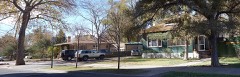
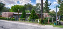
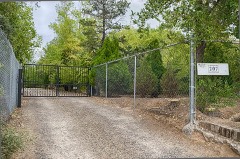
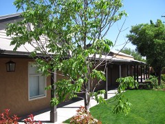
Block
From the record
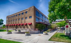
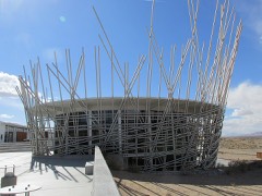
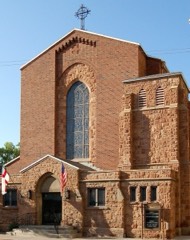
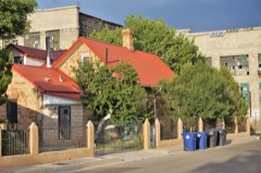
159 National Register listings published here, 1 of them a National Historic Landmark.
Sources: the National Register database, National Park Service
124 topographic sheets and 13 fire insurance atlases across 1 place.
159 National Register listings published here, 1 of them a National Historic Landmark.
Sources: the National Register database, National Park Service
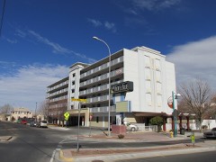
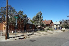
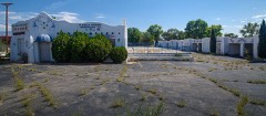
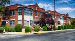
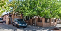
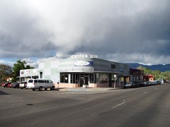
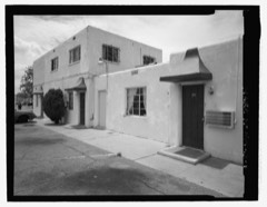
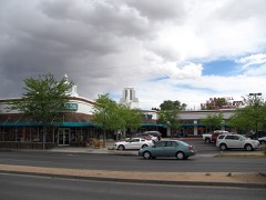
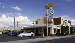
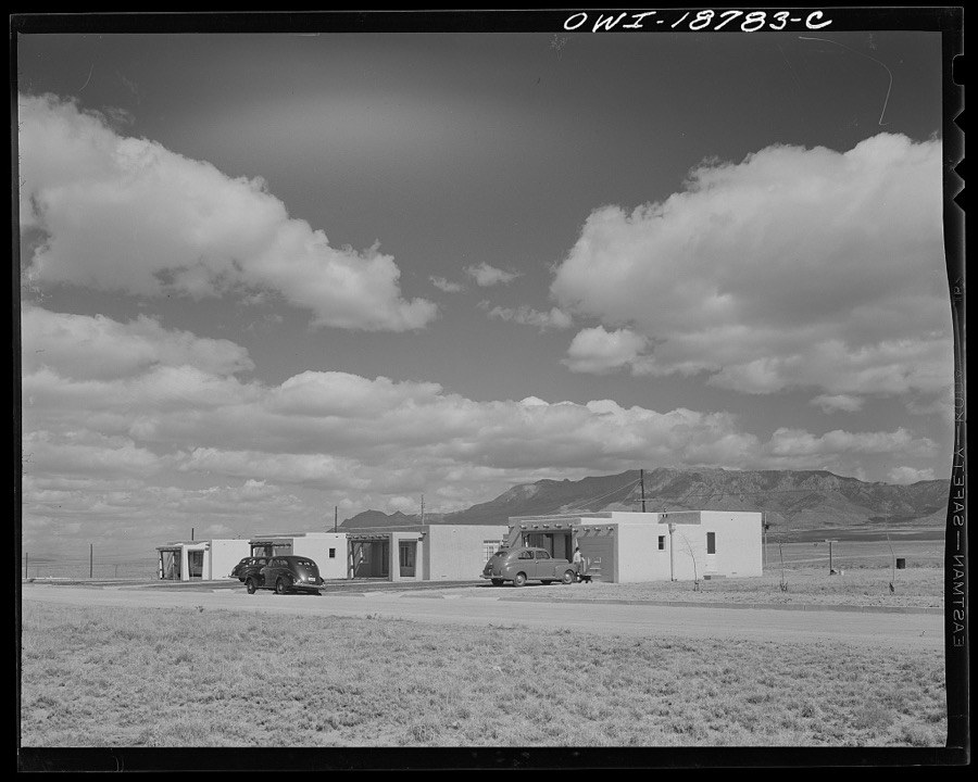
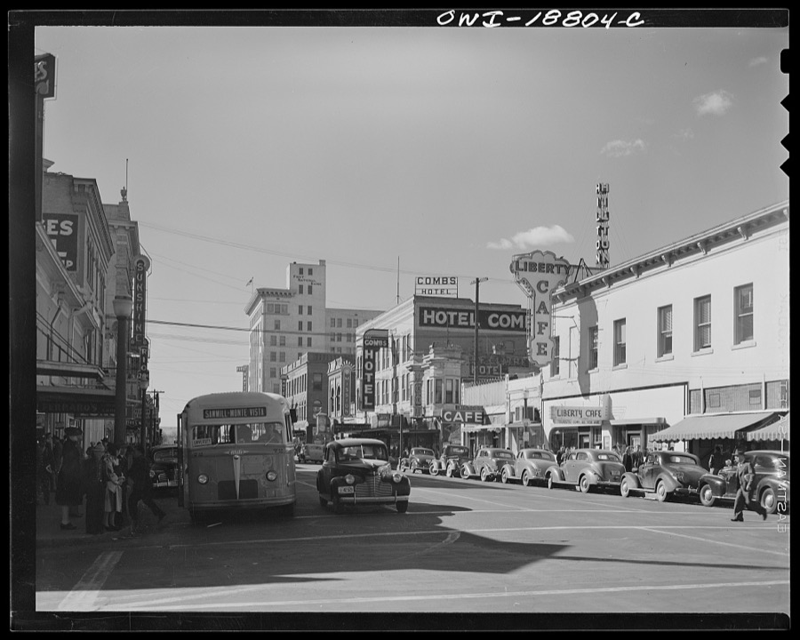
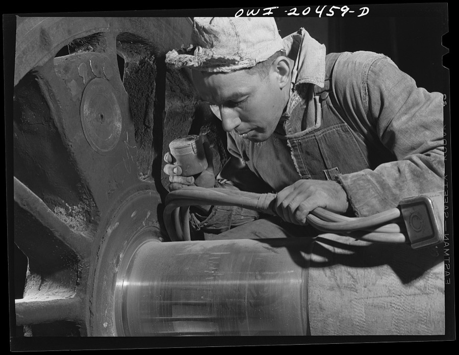
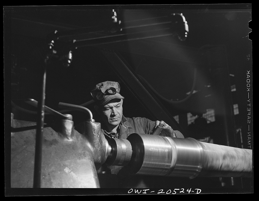
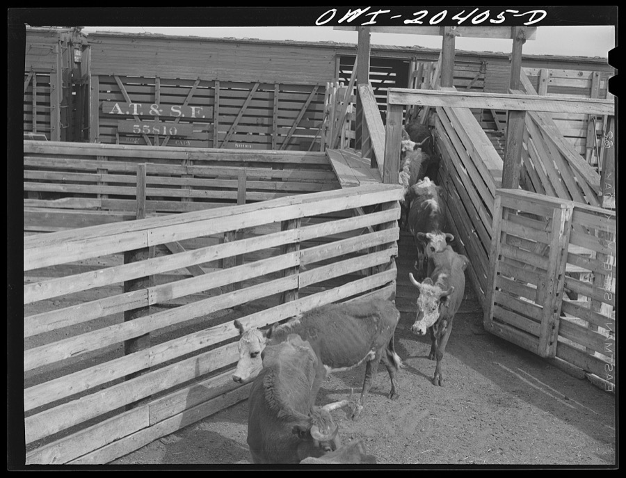
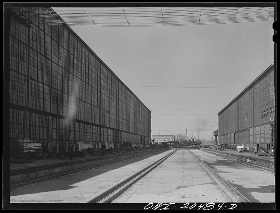
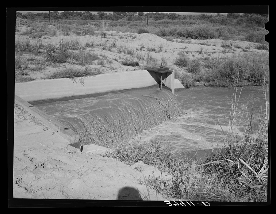
Taken for the Office of War Information and the Farm Security Administration, who photographed the country between 1935 and 1944. Works of United States government photographers, with no known restriction on use. Each opens its catalogue record.
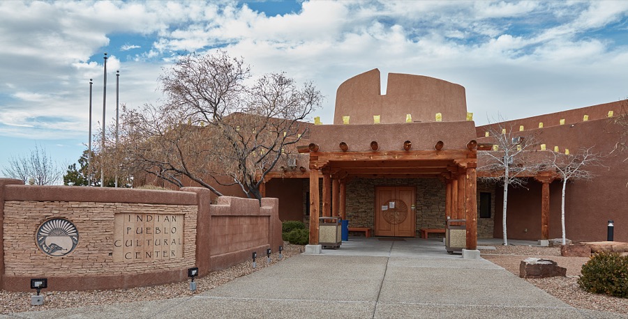
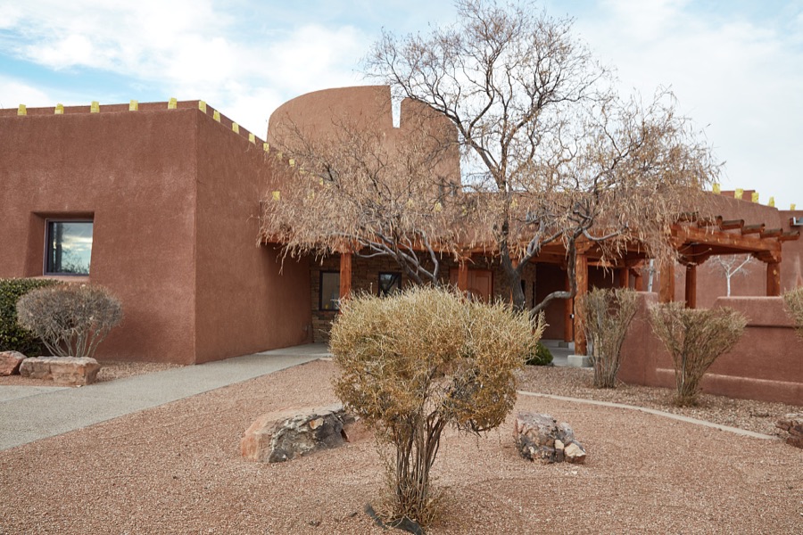
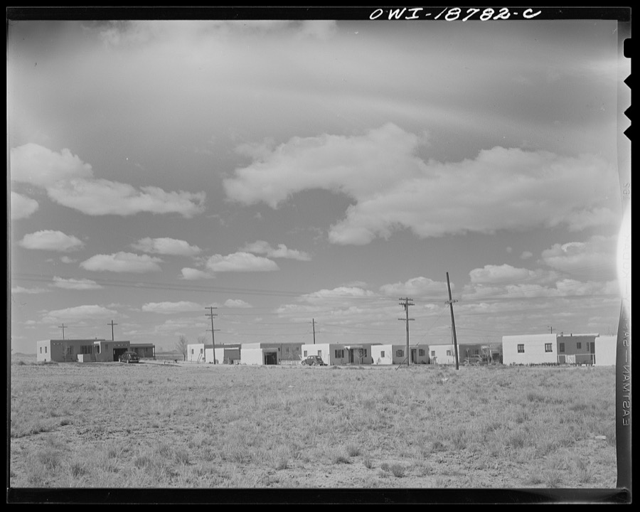
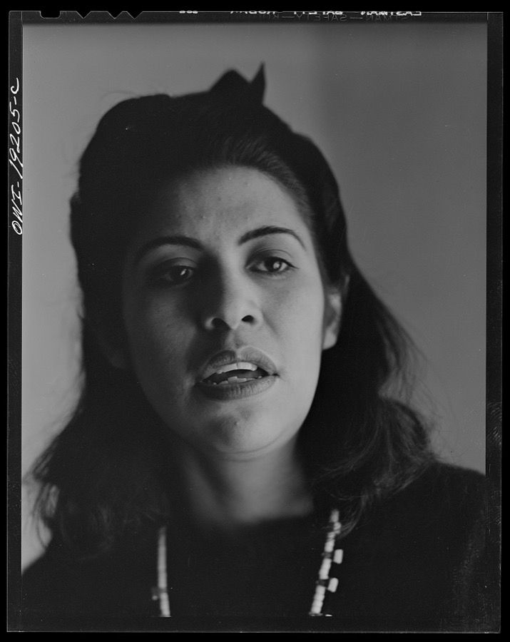
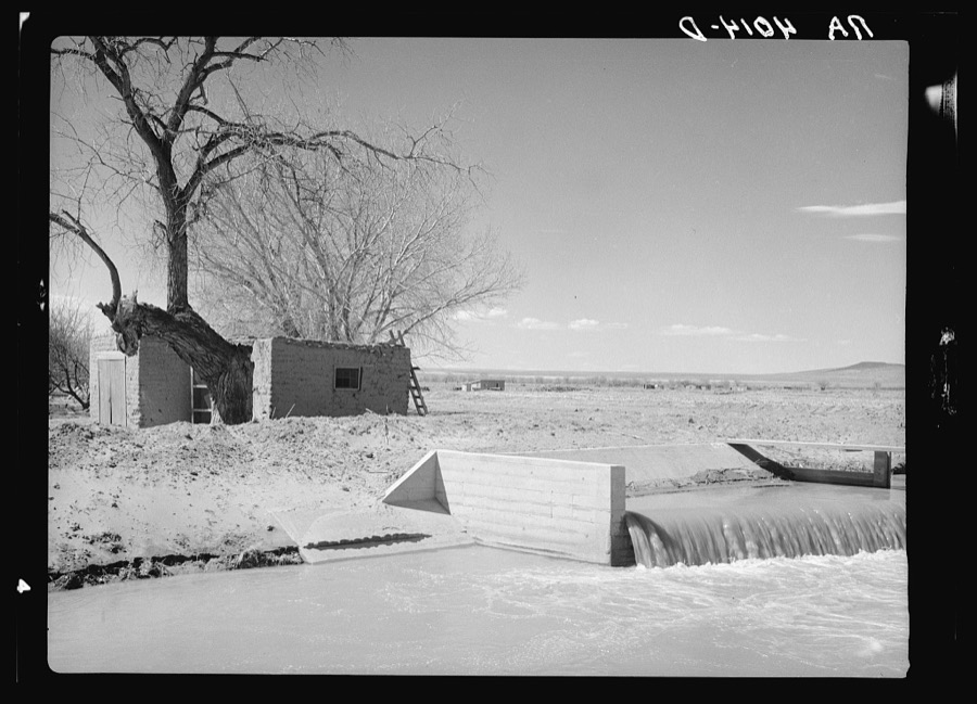
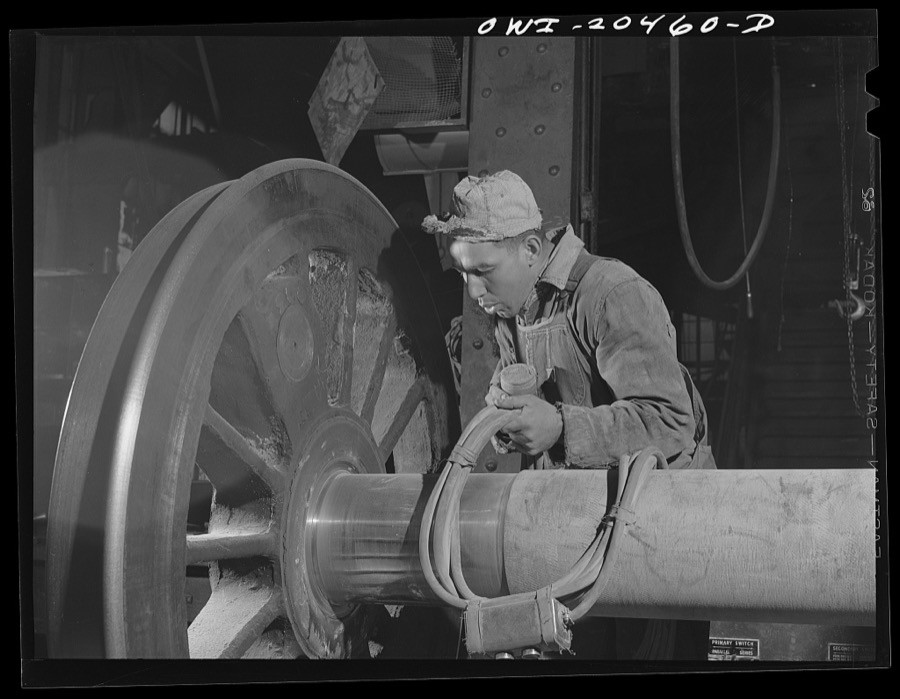
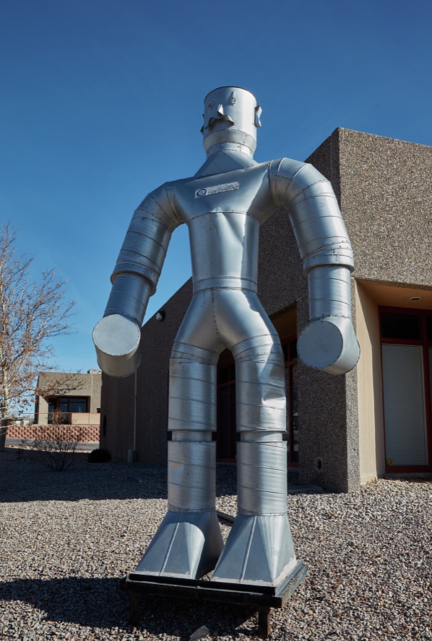
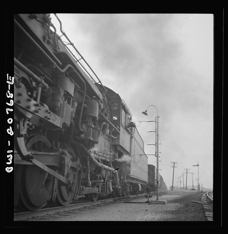
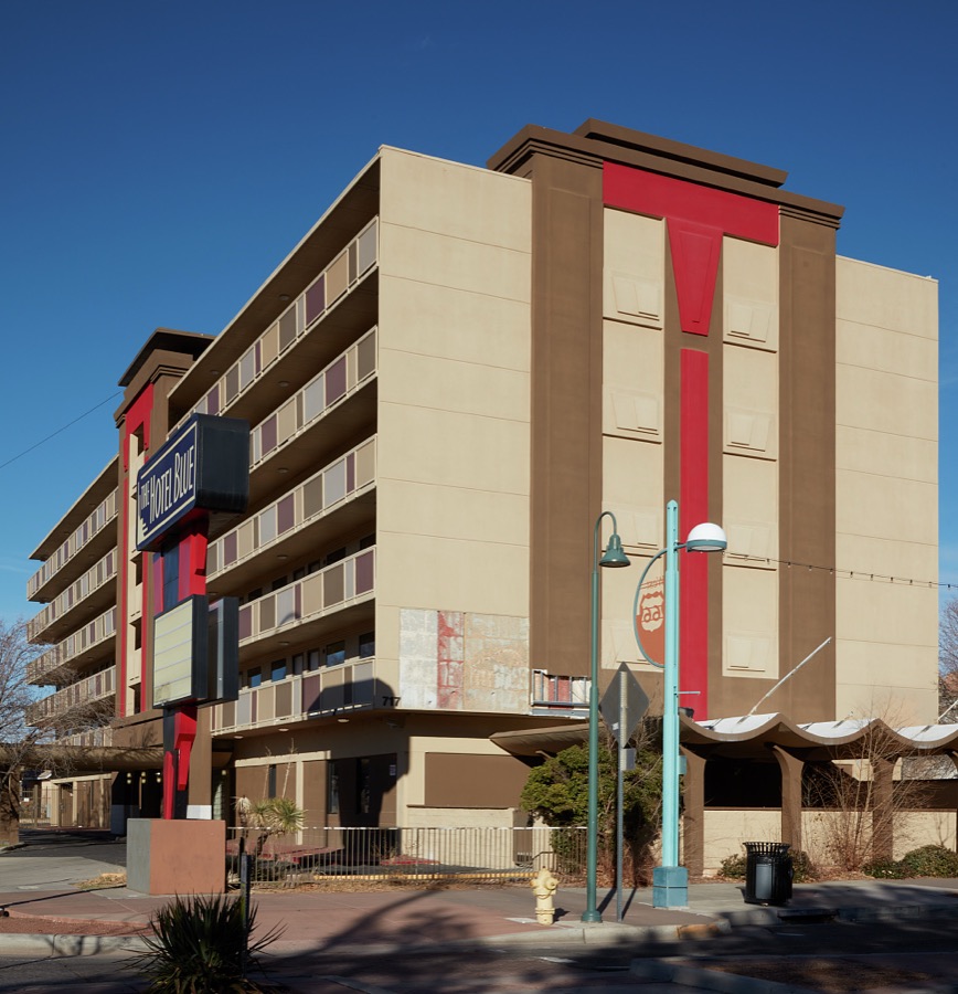
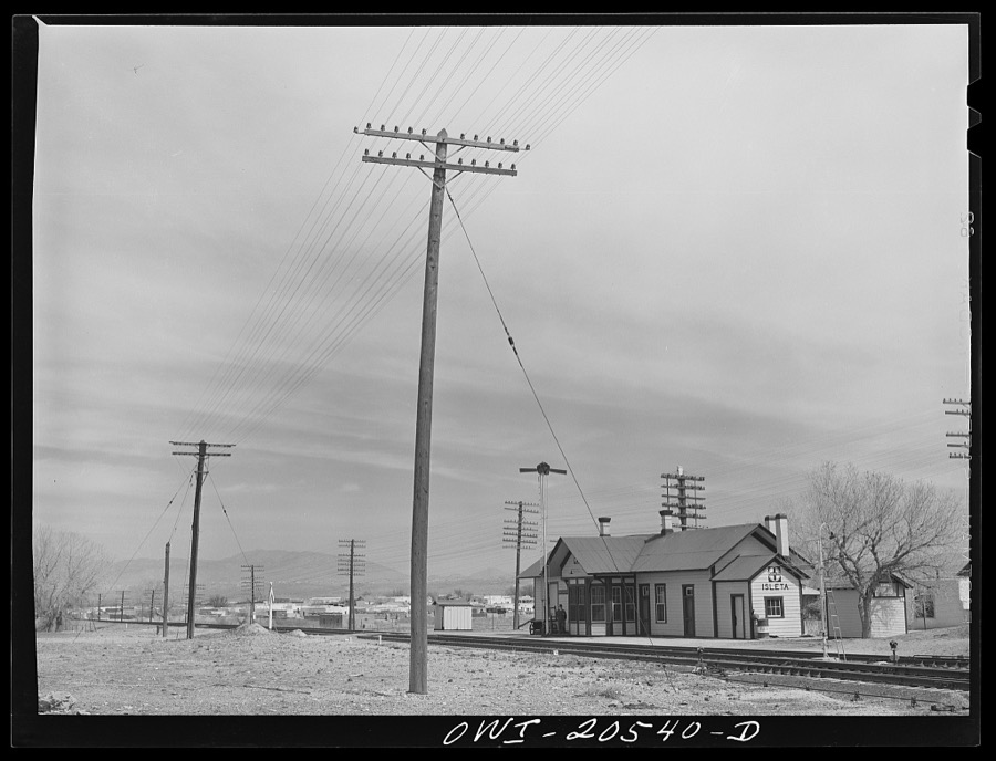
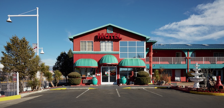
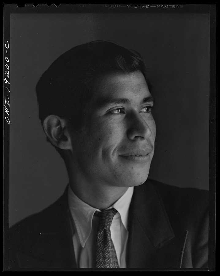
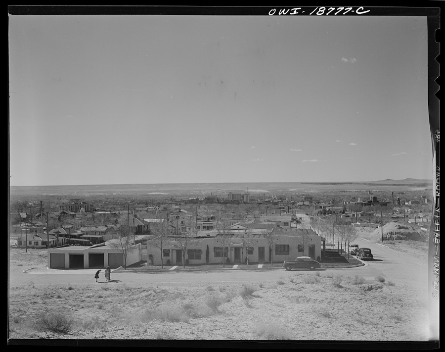
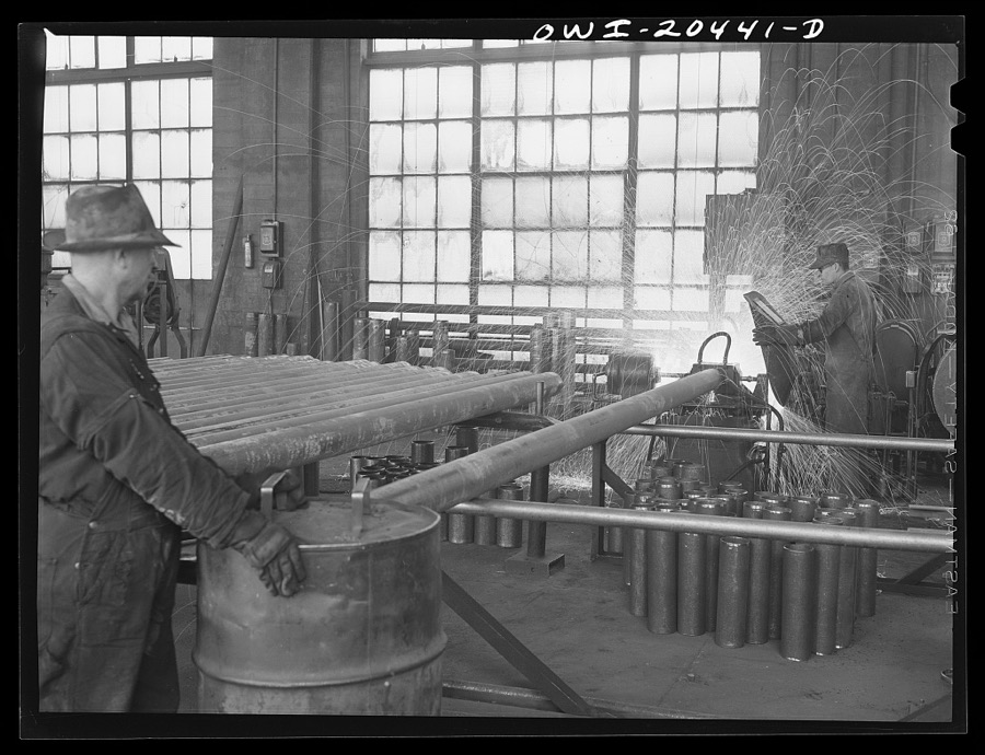
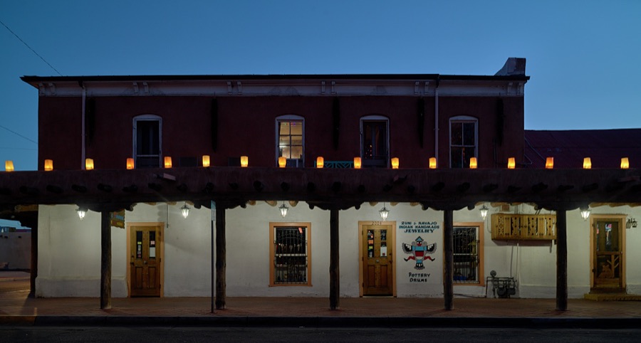
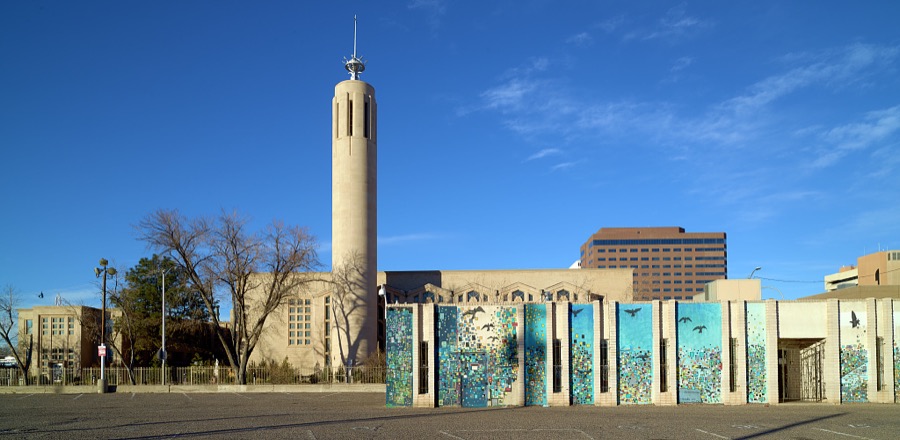
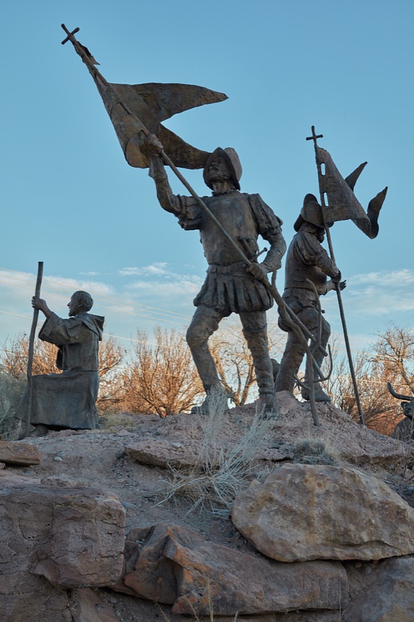
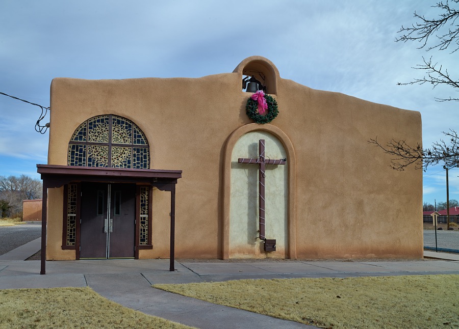

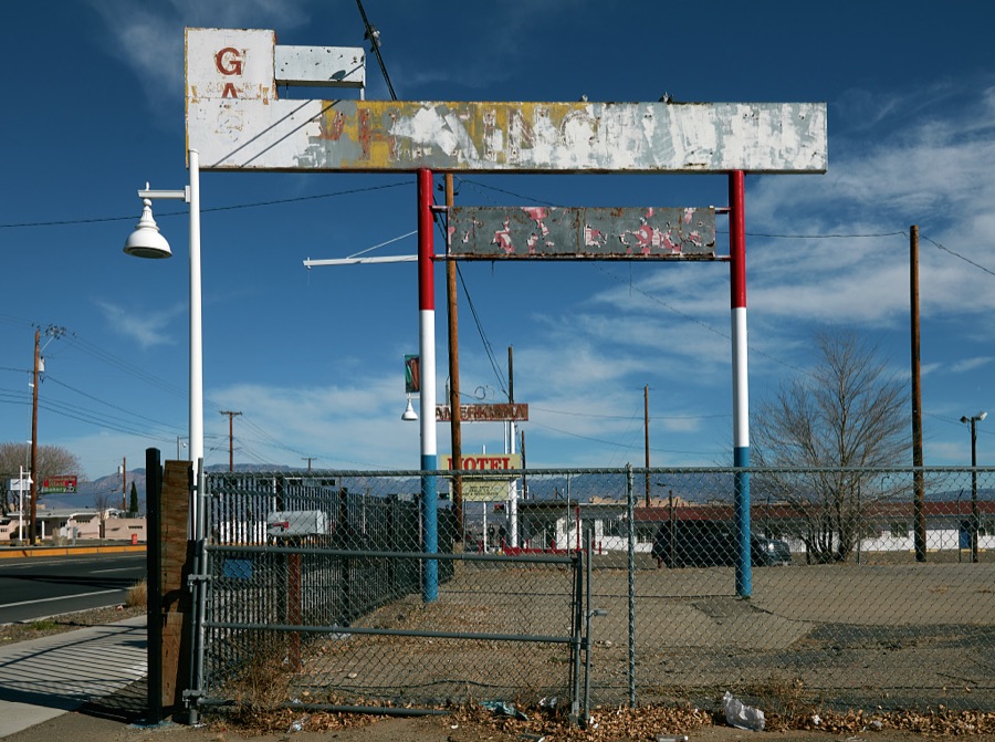
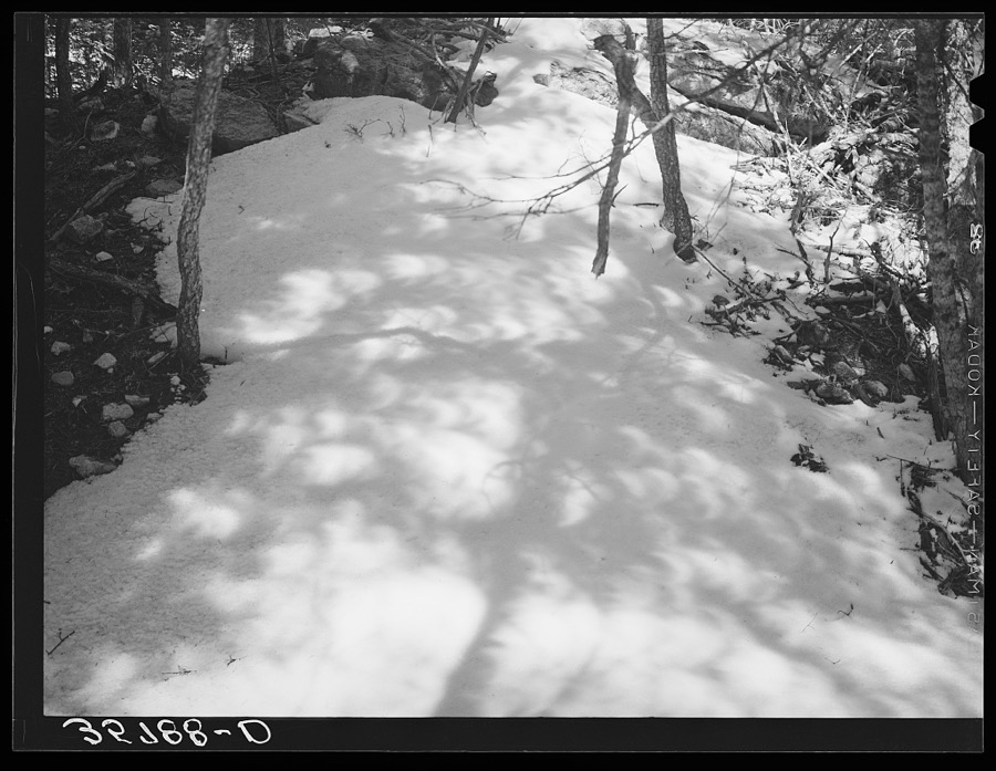
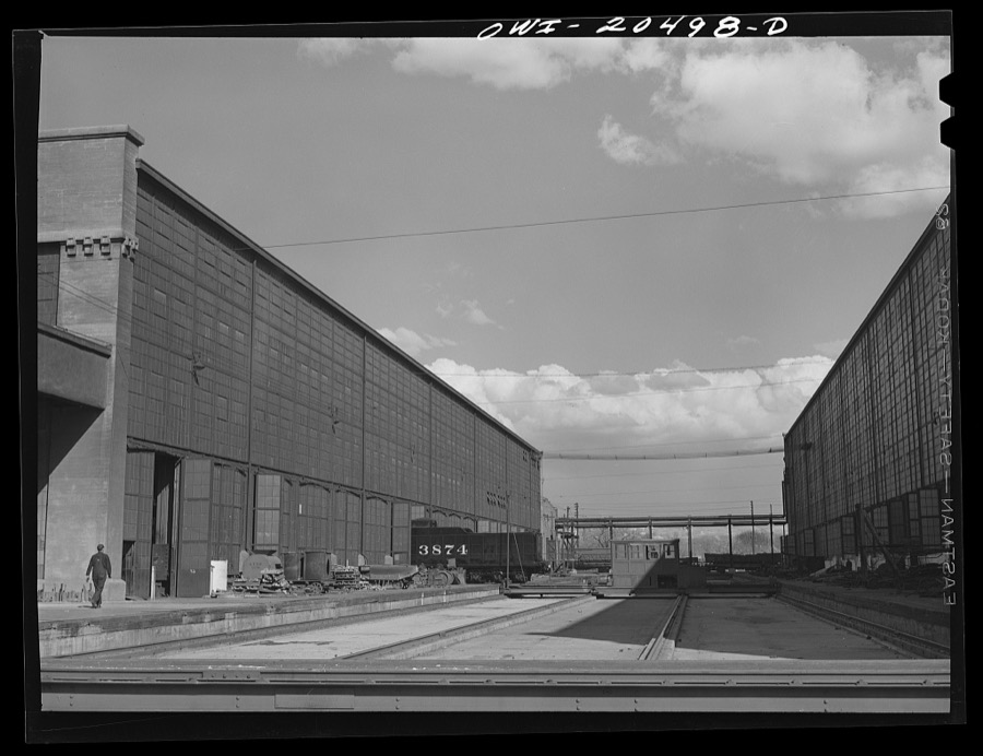
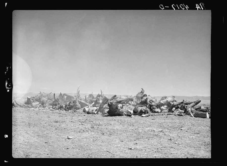
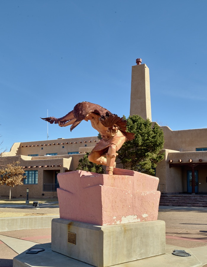
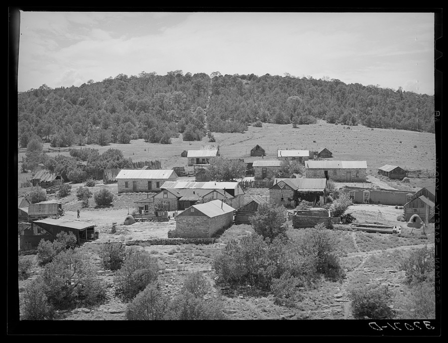
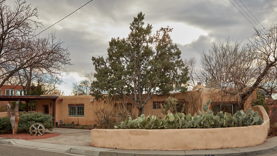
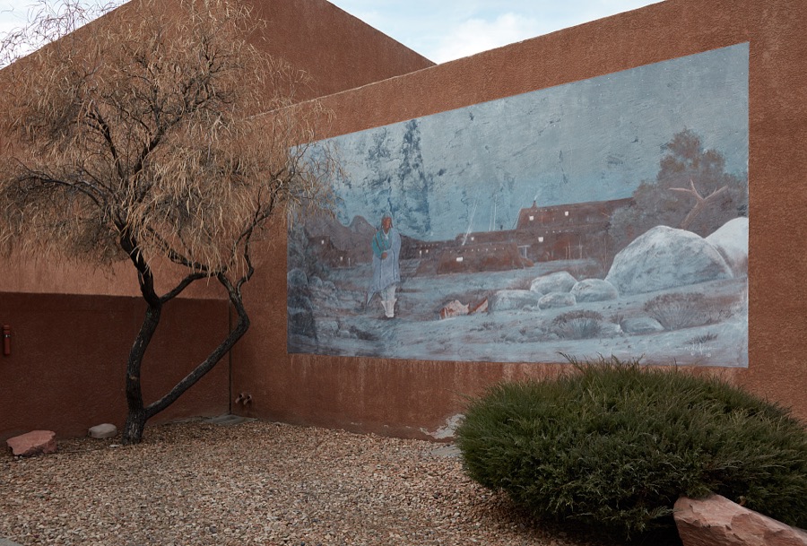
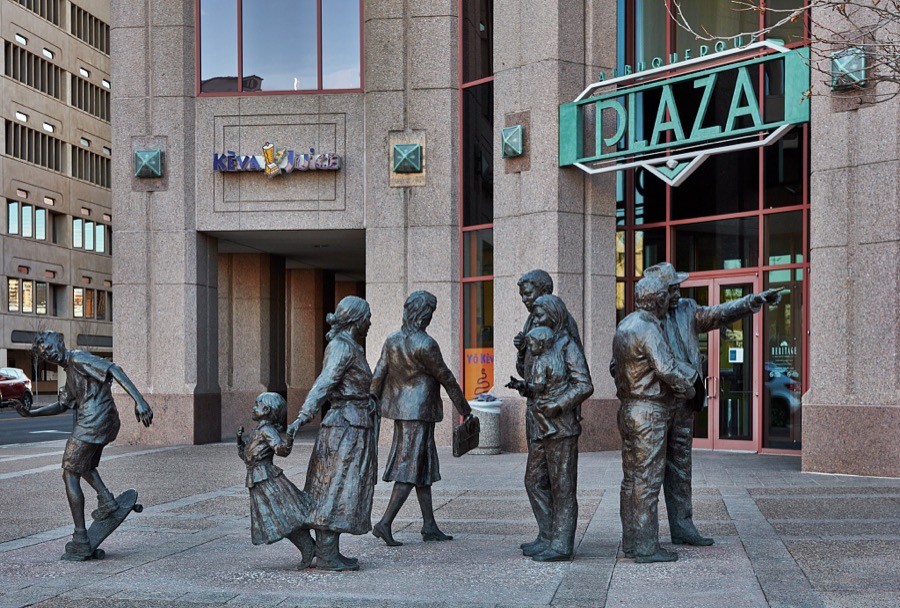
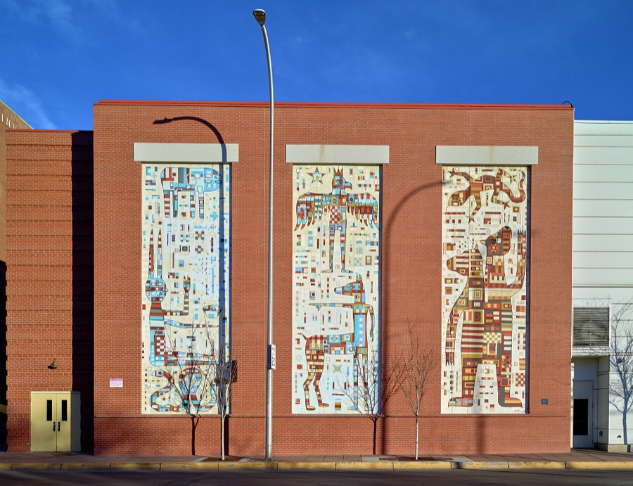

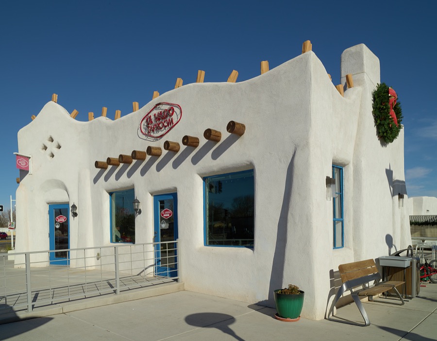
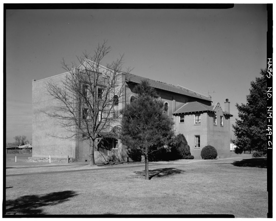
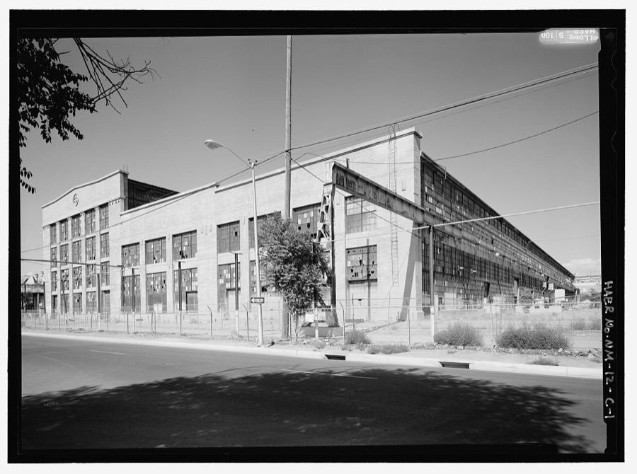
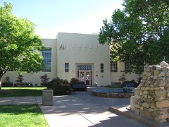
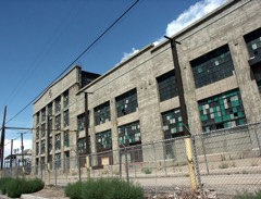
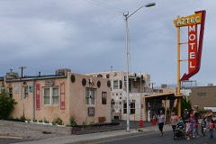
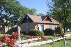
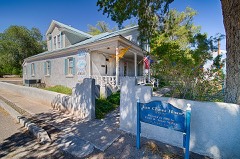
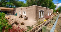
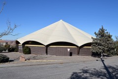
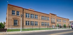
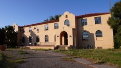
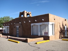
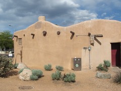
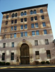
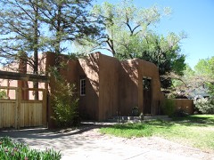
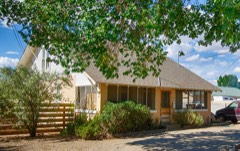
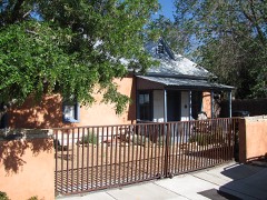
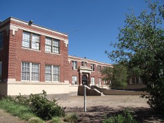
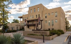
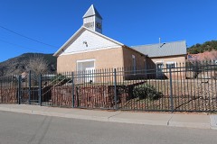
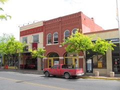
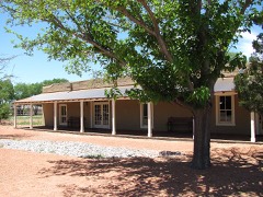
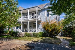
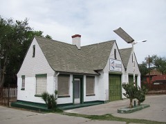
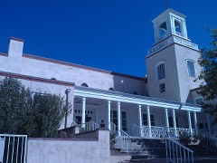
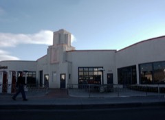
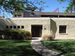
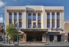
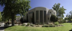
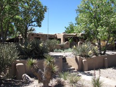
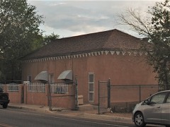
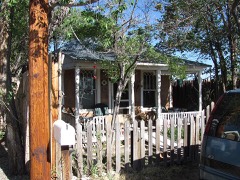
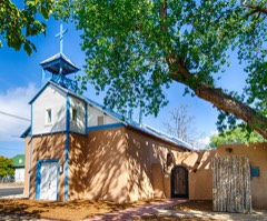
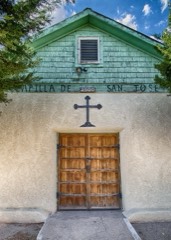
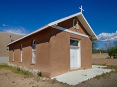
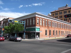
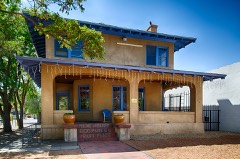
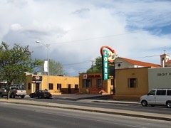
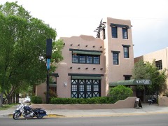
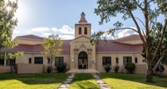
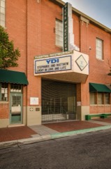
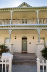
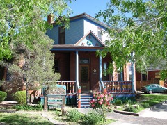
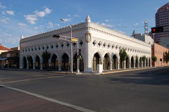
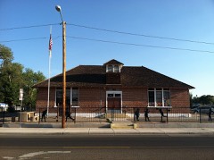
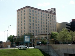
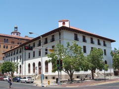
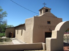
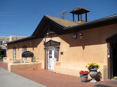
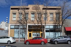
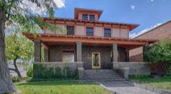
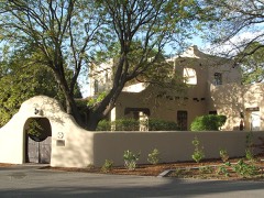
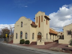
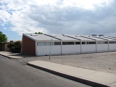
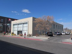
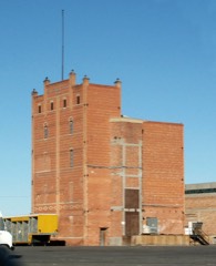
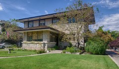
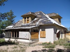
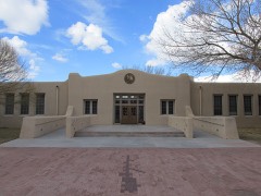
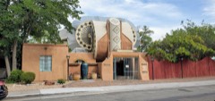
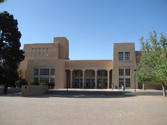
Every property in this county listed on the National Register of Historic Places, with the year it was listed and the federal nomination document.
Sampled issues, machine-read from the Library of Congress scan and published page by page, so every headline and column is searchable text.
Albuquerque, N.M., 1895 to 1903. Machine-read from the Library of Congress scan.
Albuquerque, N.M., 1905 to 1907. Machine-read from the Library of Congress scan.
Albuquerque, N.M., 1907 to 1909. Machine-read from the Library of Congress scan.
Albuquerque, N.M., 1884 to 1886. Machine-read from the Library of Congress scan.
Albuquerque, N.M., 1903 to 1926. Machine-read from the Library of Congress scan.
Albuquerque, N.M., 1891 to 19??. Machine-read from the Library of Congress scan.
Albuquerque, N.M., 1914 to 1922. Machine-read from the Library of Congress scan.
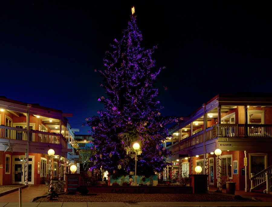
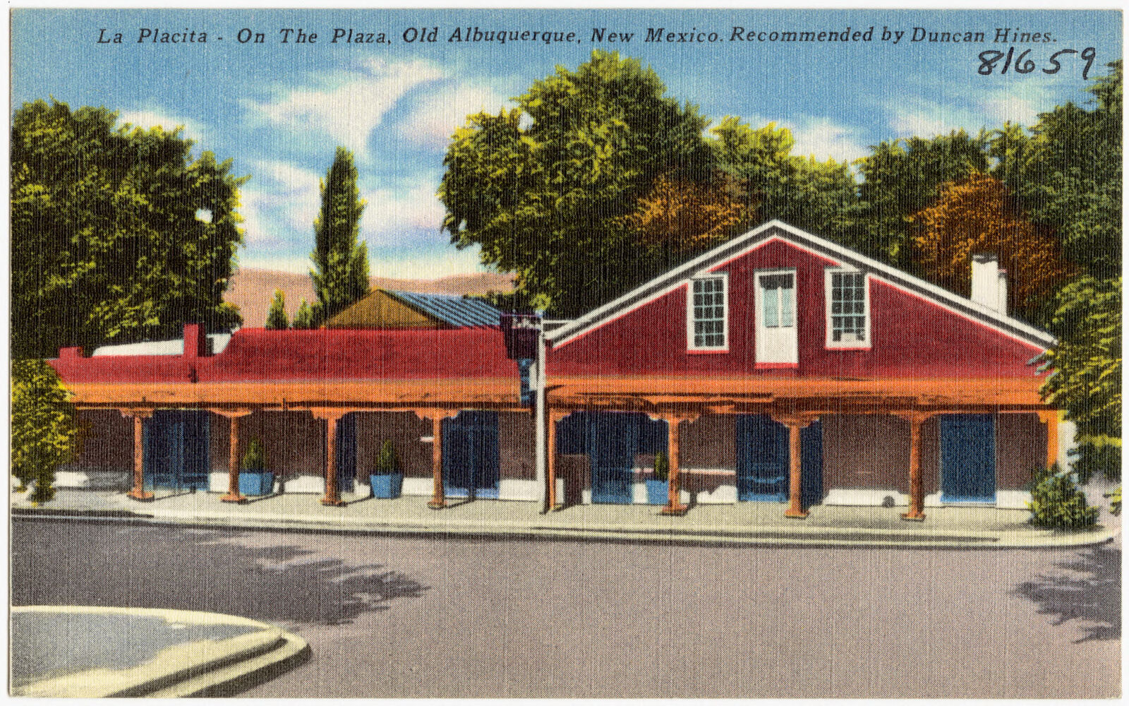
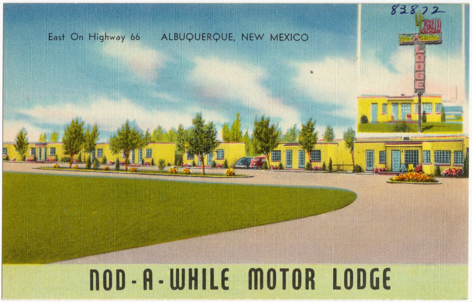
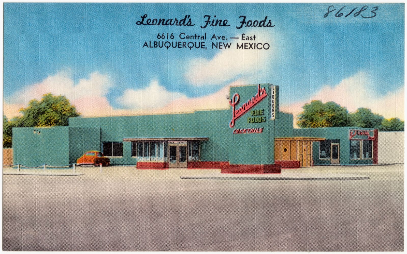
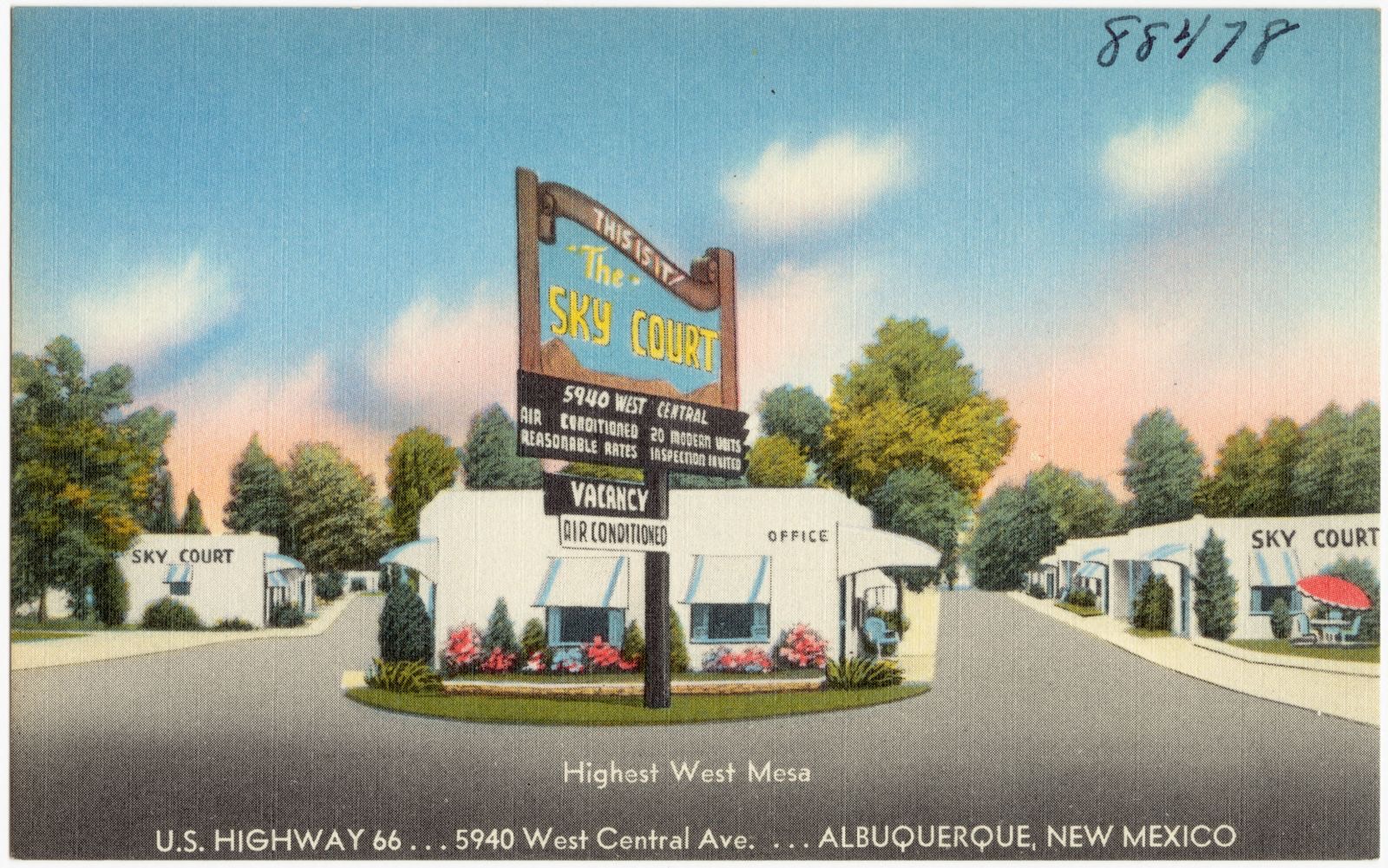
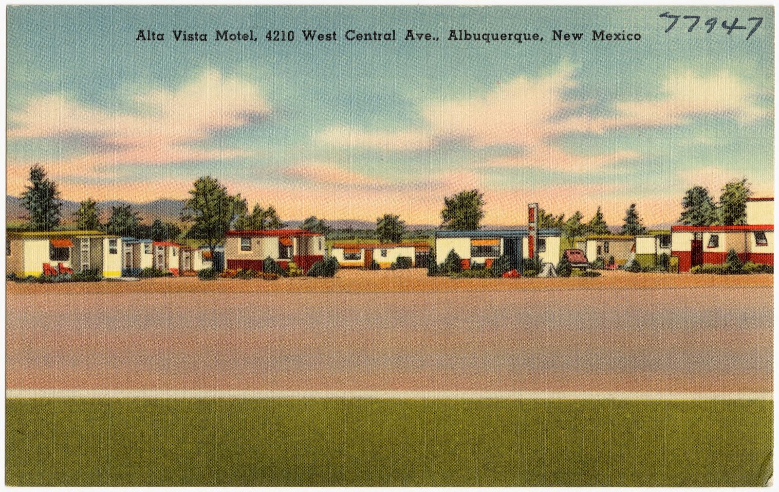
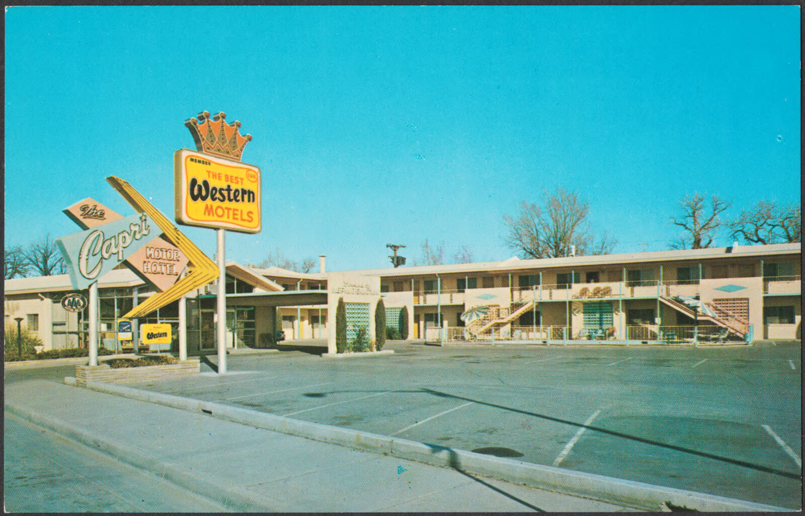
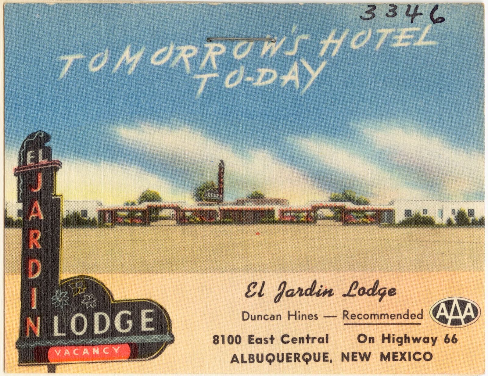
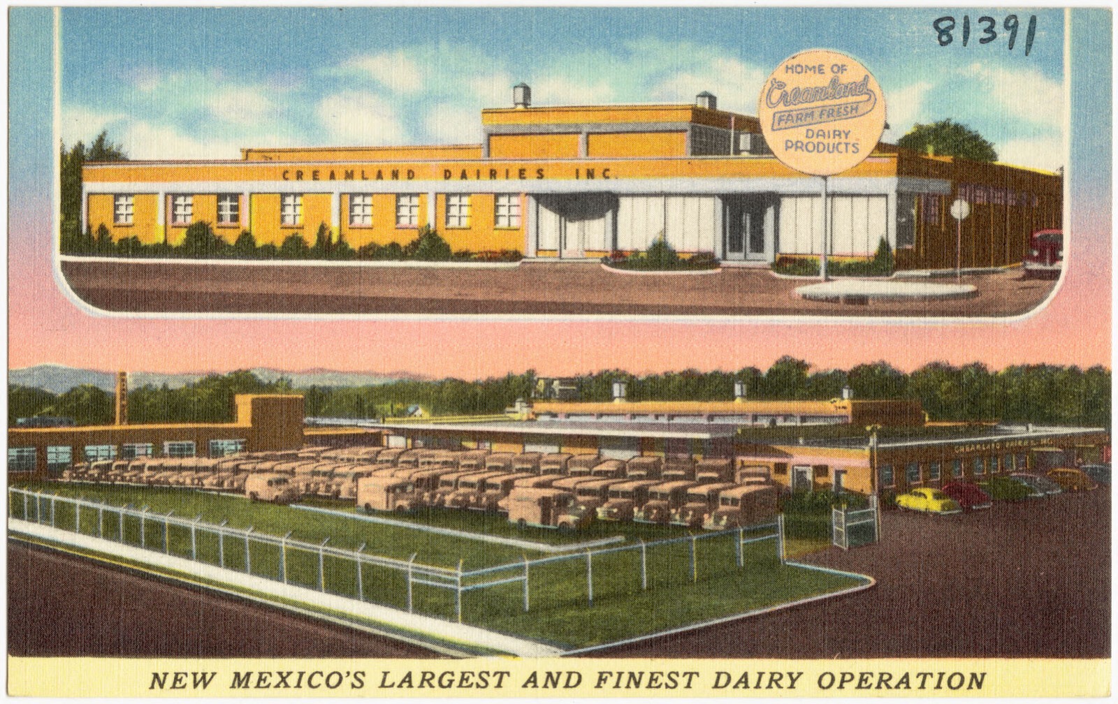
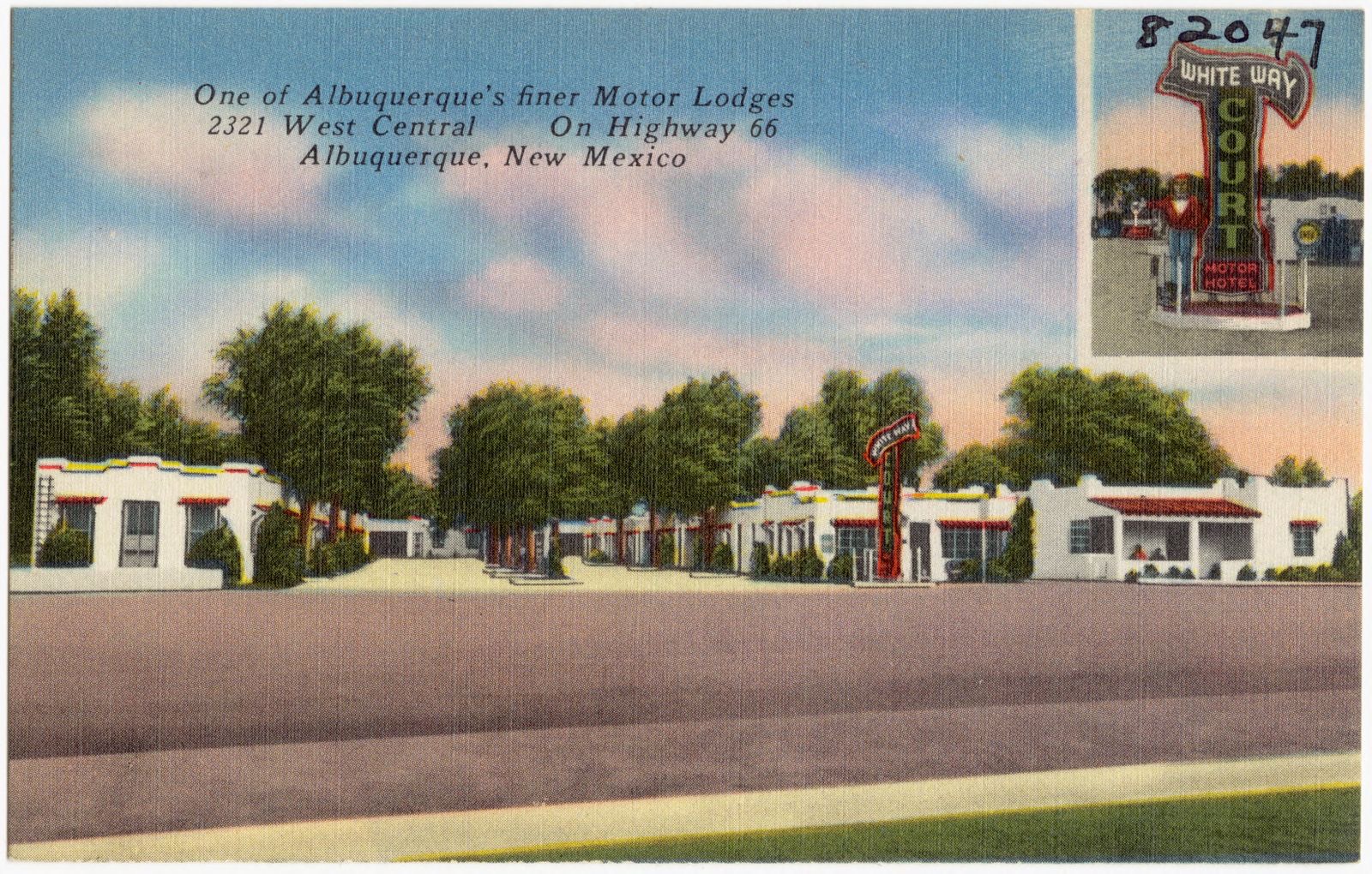
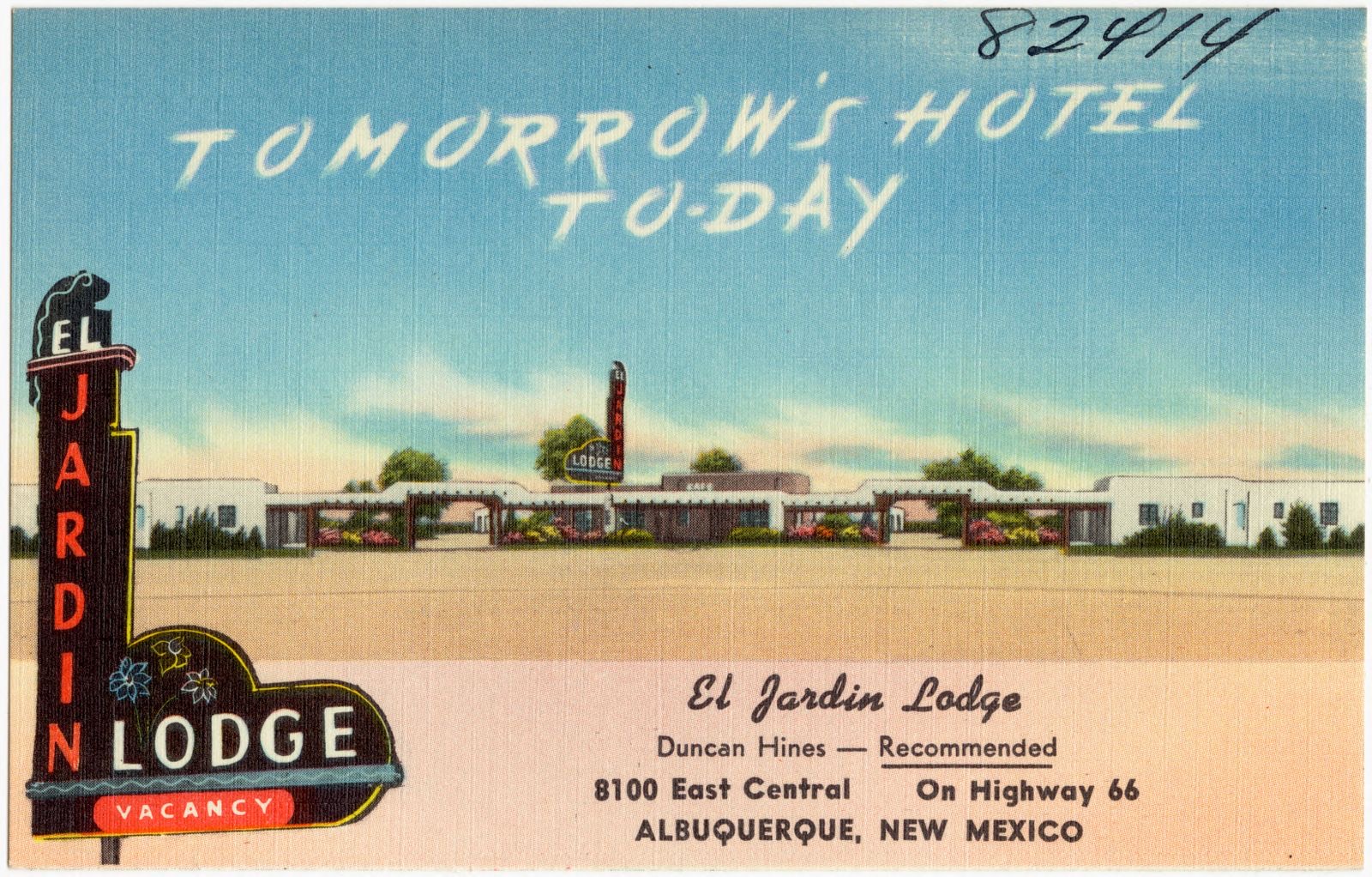
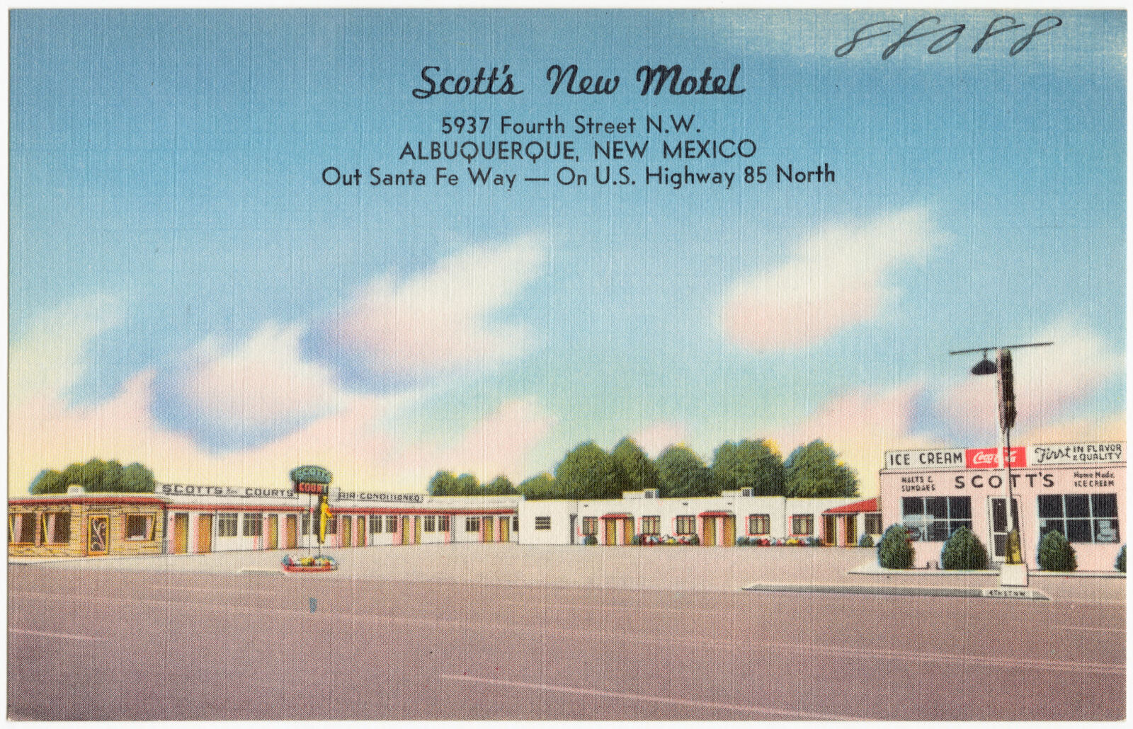
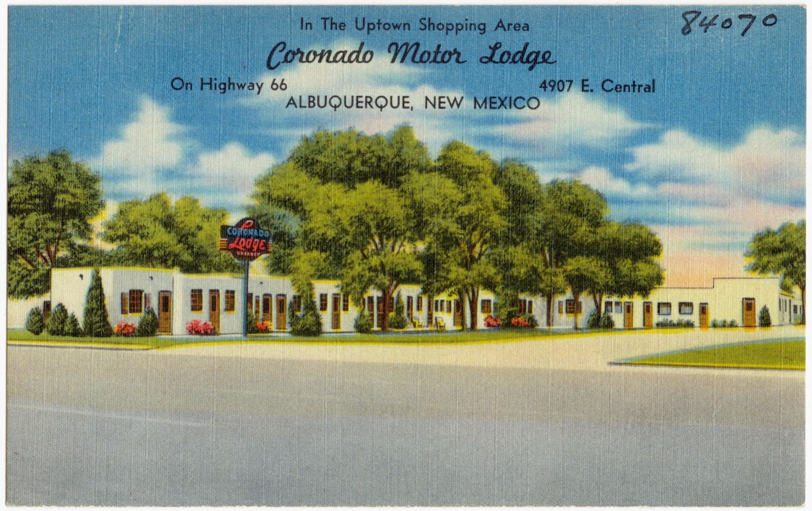
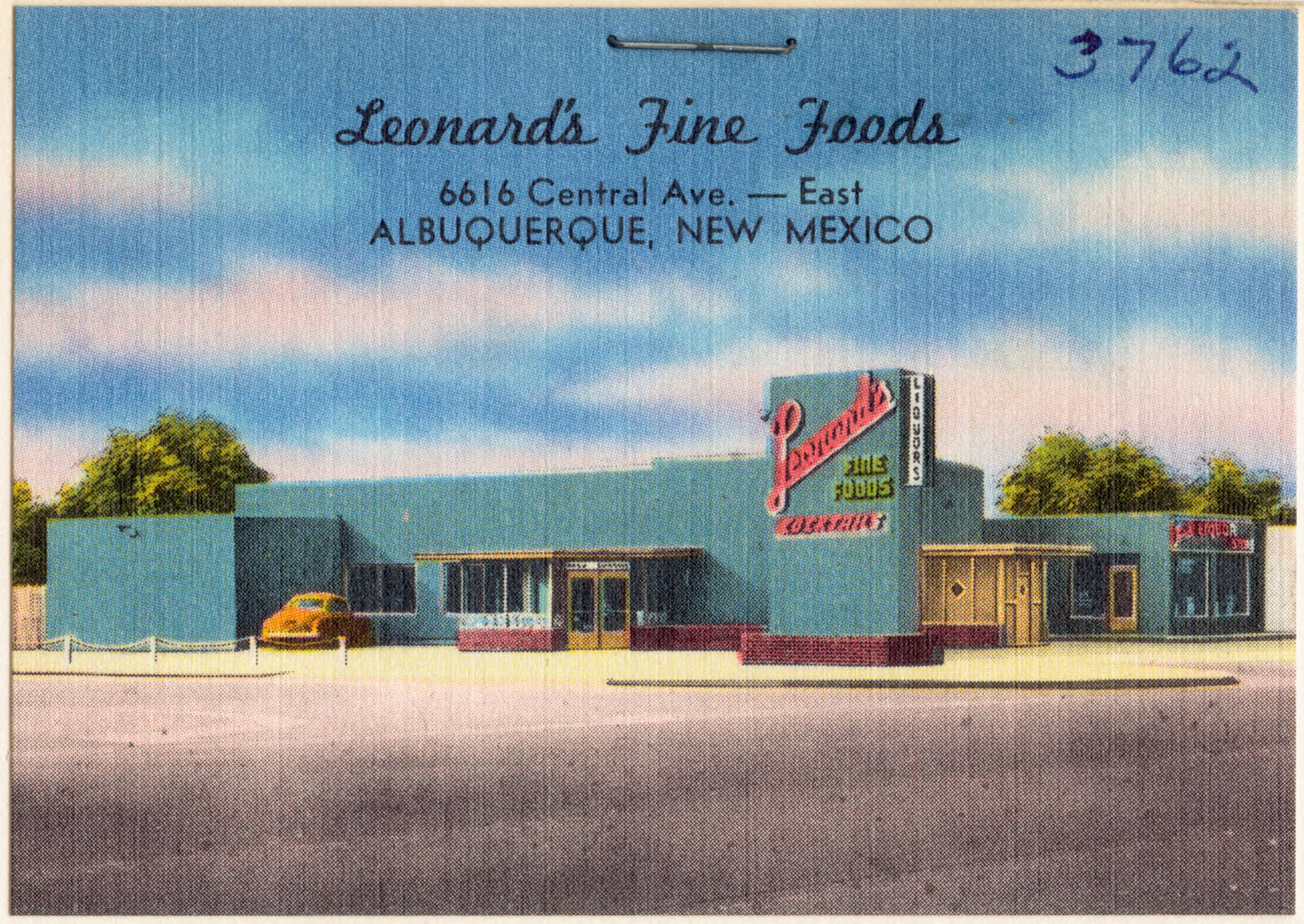
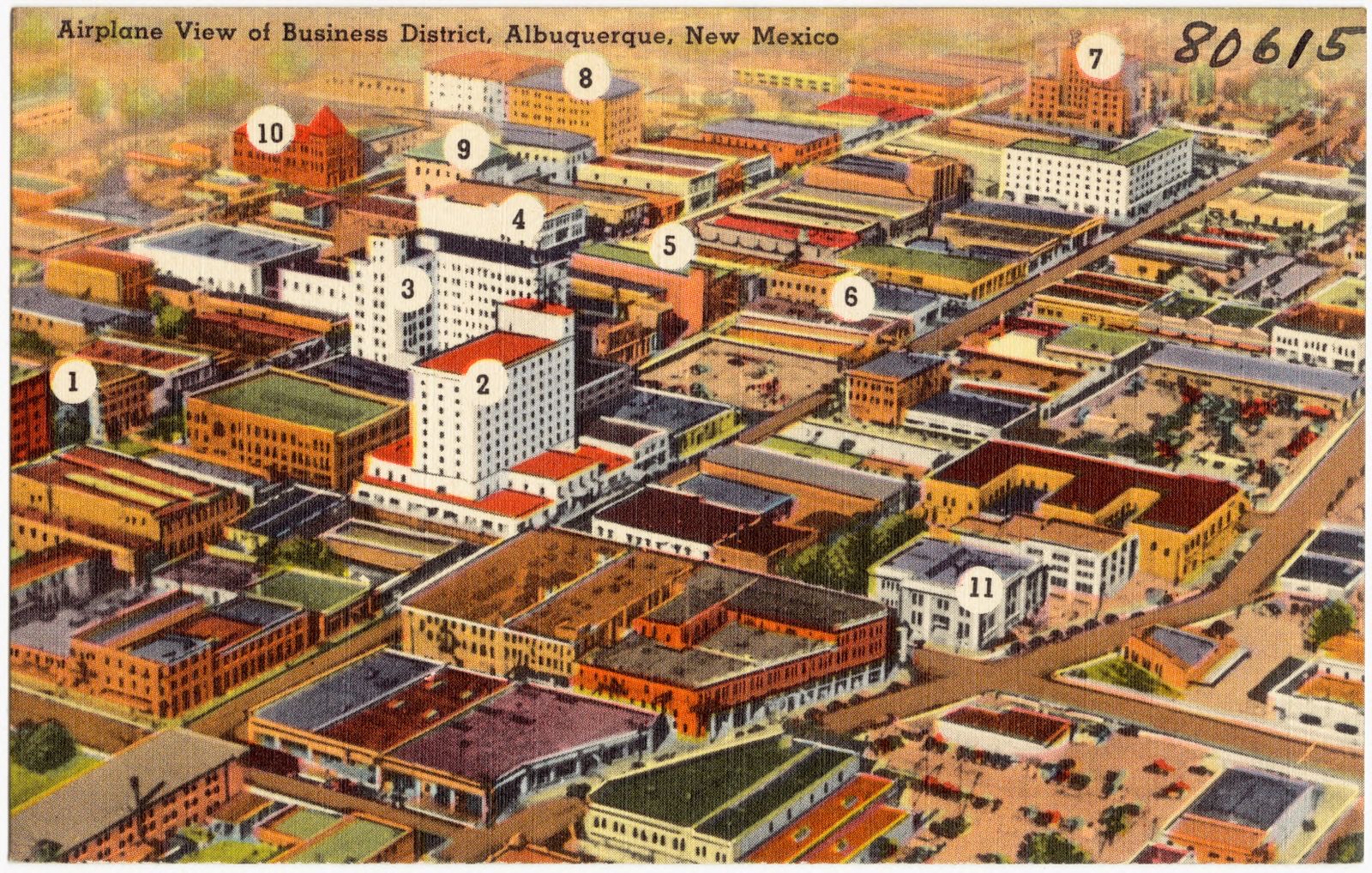
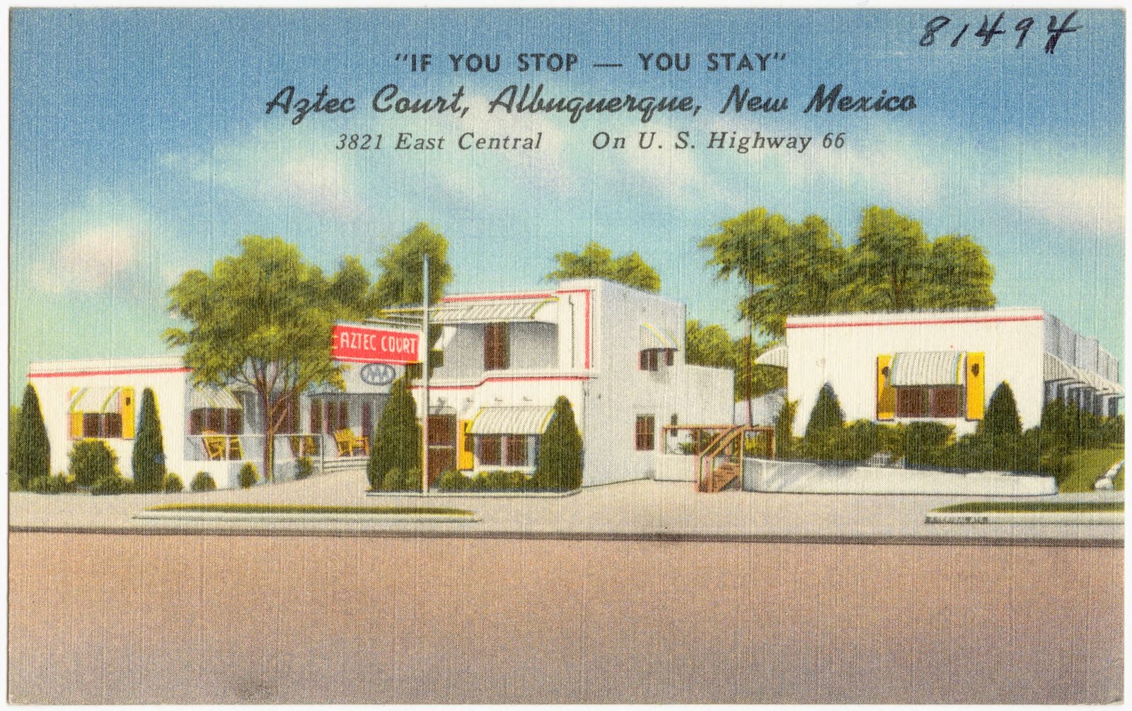
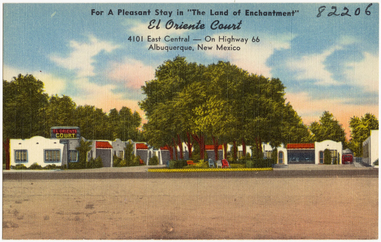
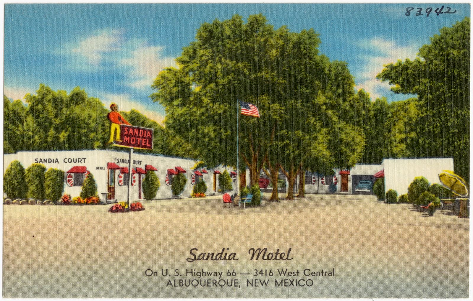
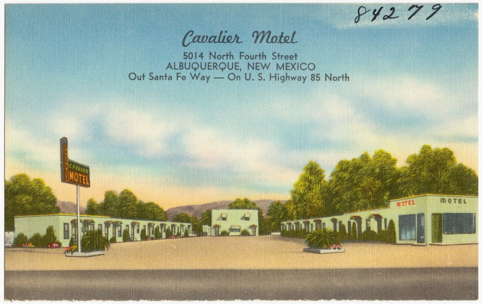
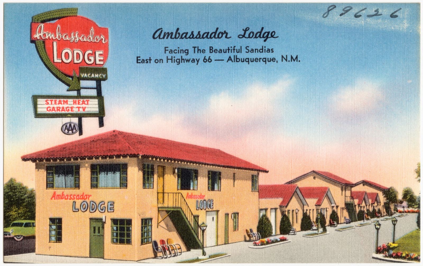
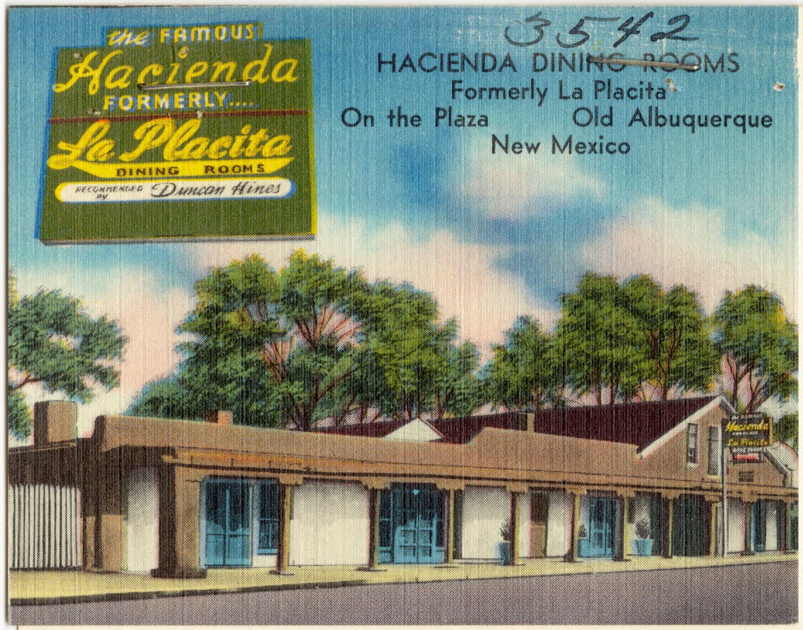
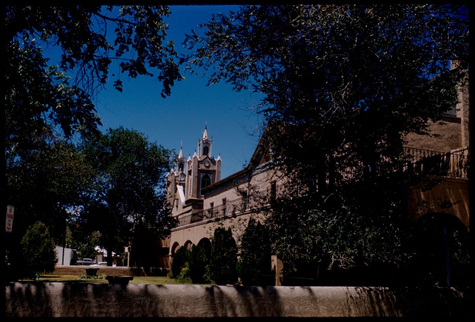
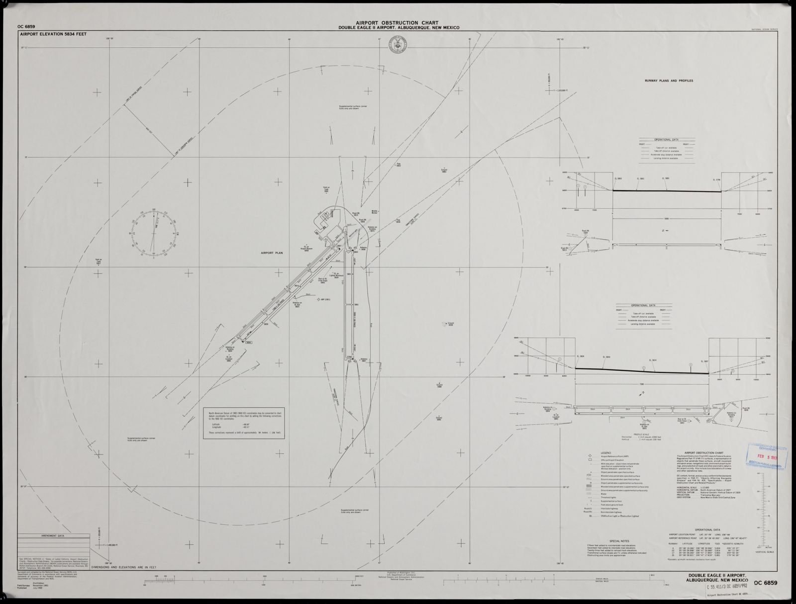
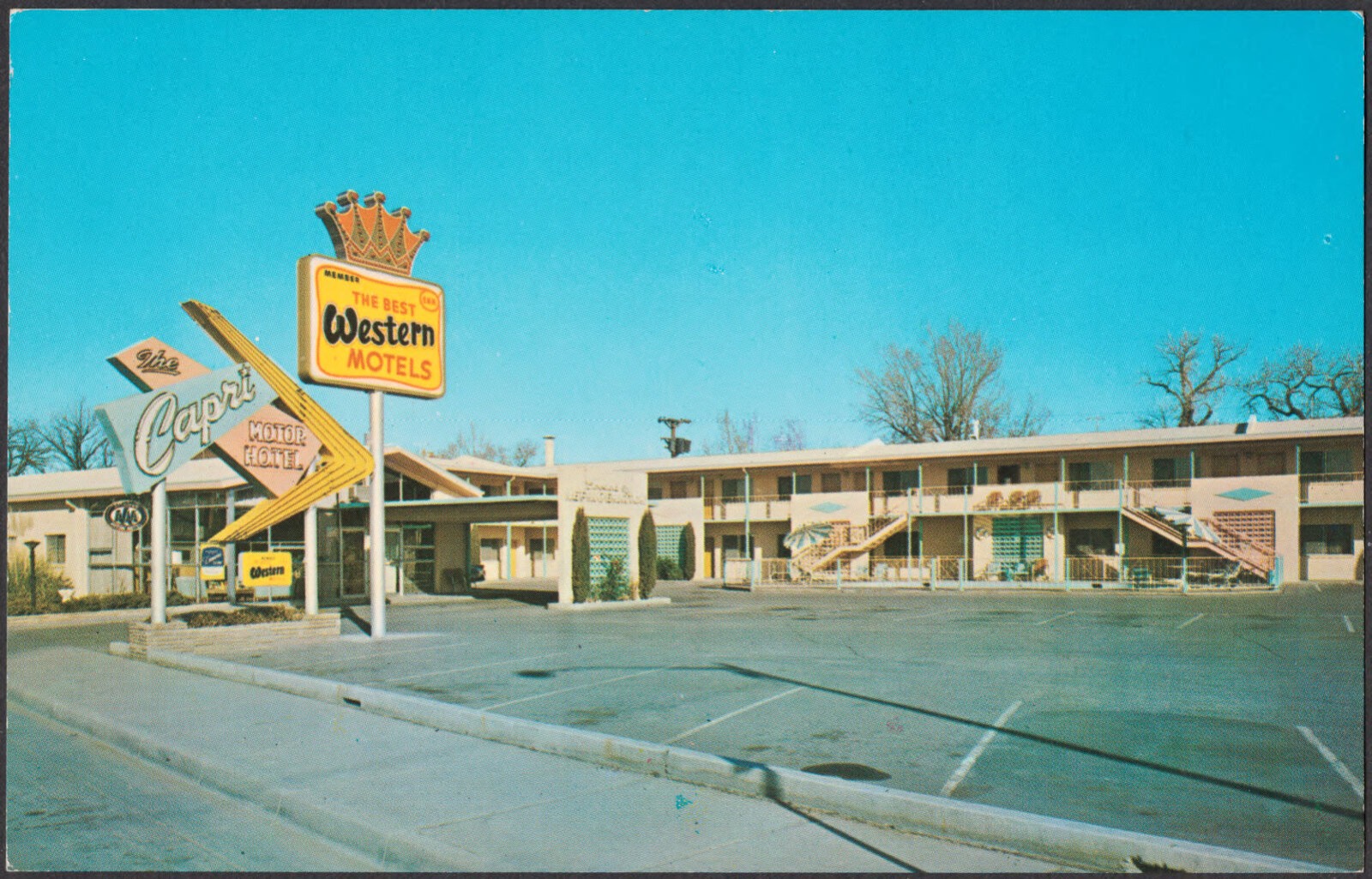
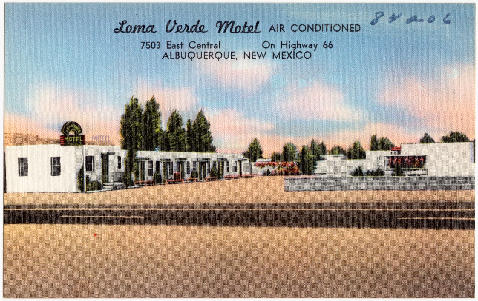
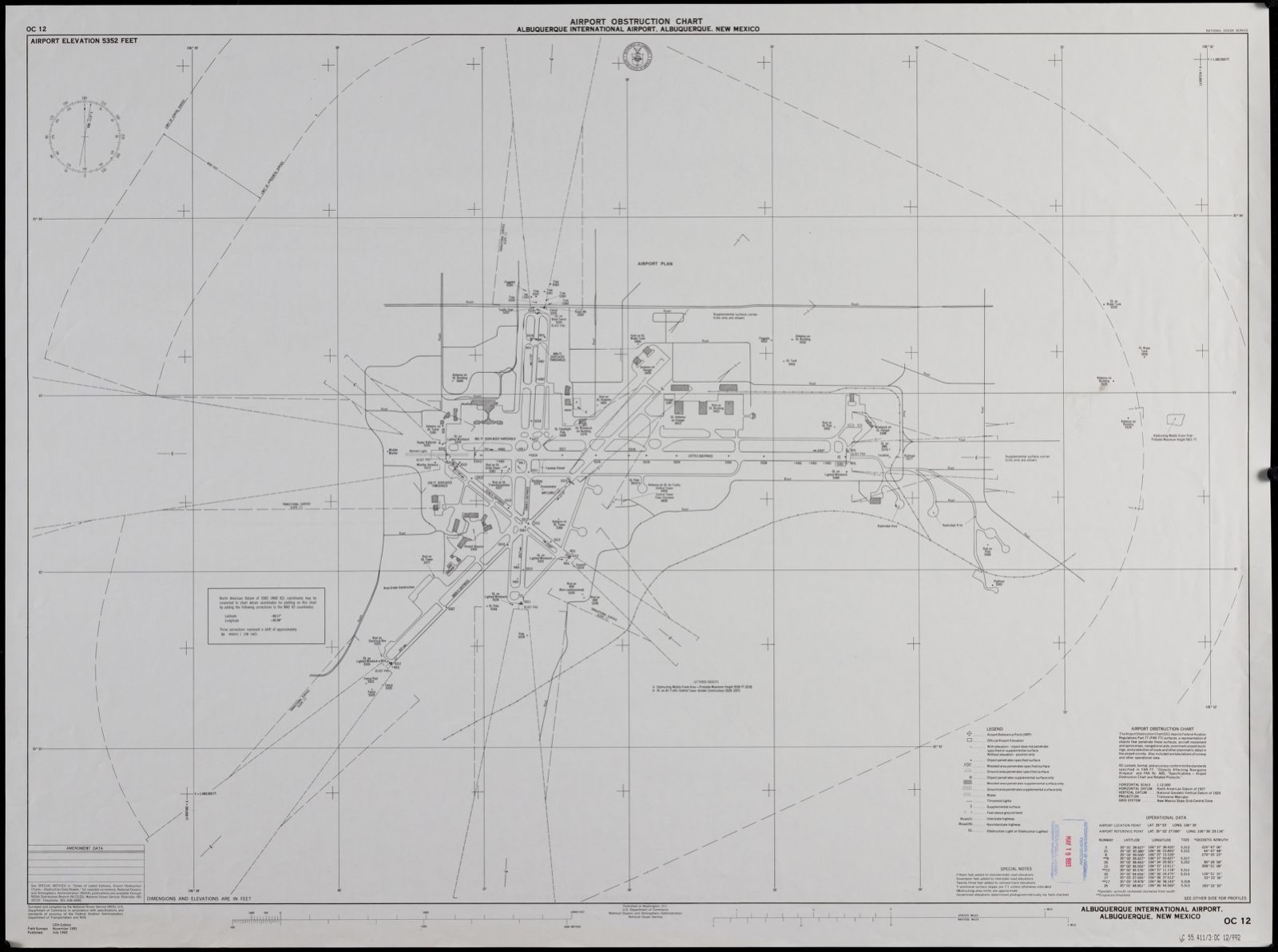
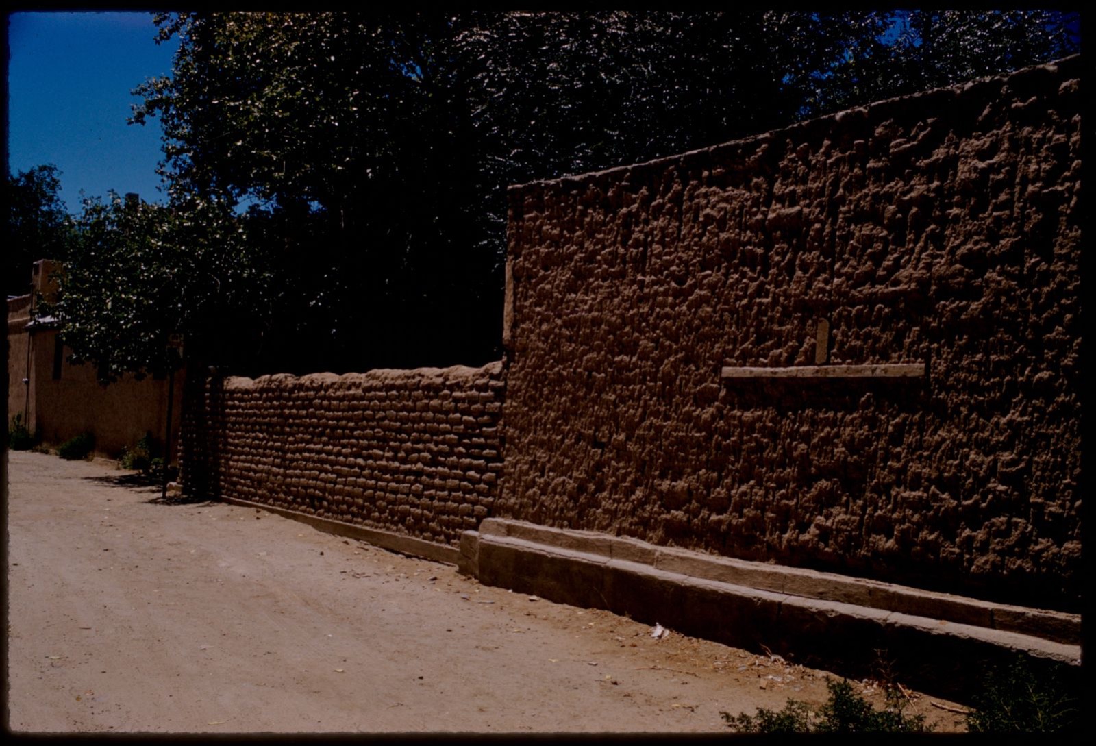
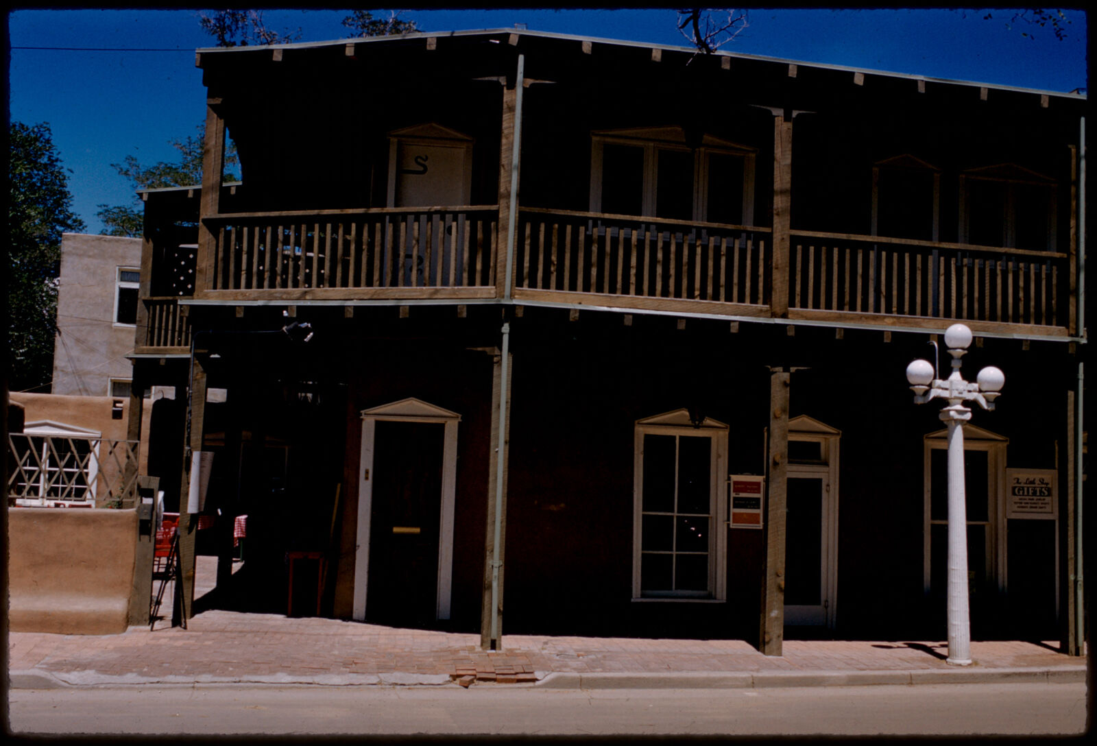
Selected from the Digital Public Library of America's 112 image records catalogued for this county. Every one shown here carries a public-domain status or a licence that permits reuse on a site that carries advertising; non-commercial, share-alike and restricted images are excluded. The selection is spread across the county's towns (at most eight per town), so no single institution's bulk upload crowds out the rest. Each opens the holding library's record, and the complete set at the Digital Public Library of America is one click away.
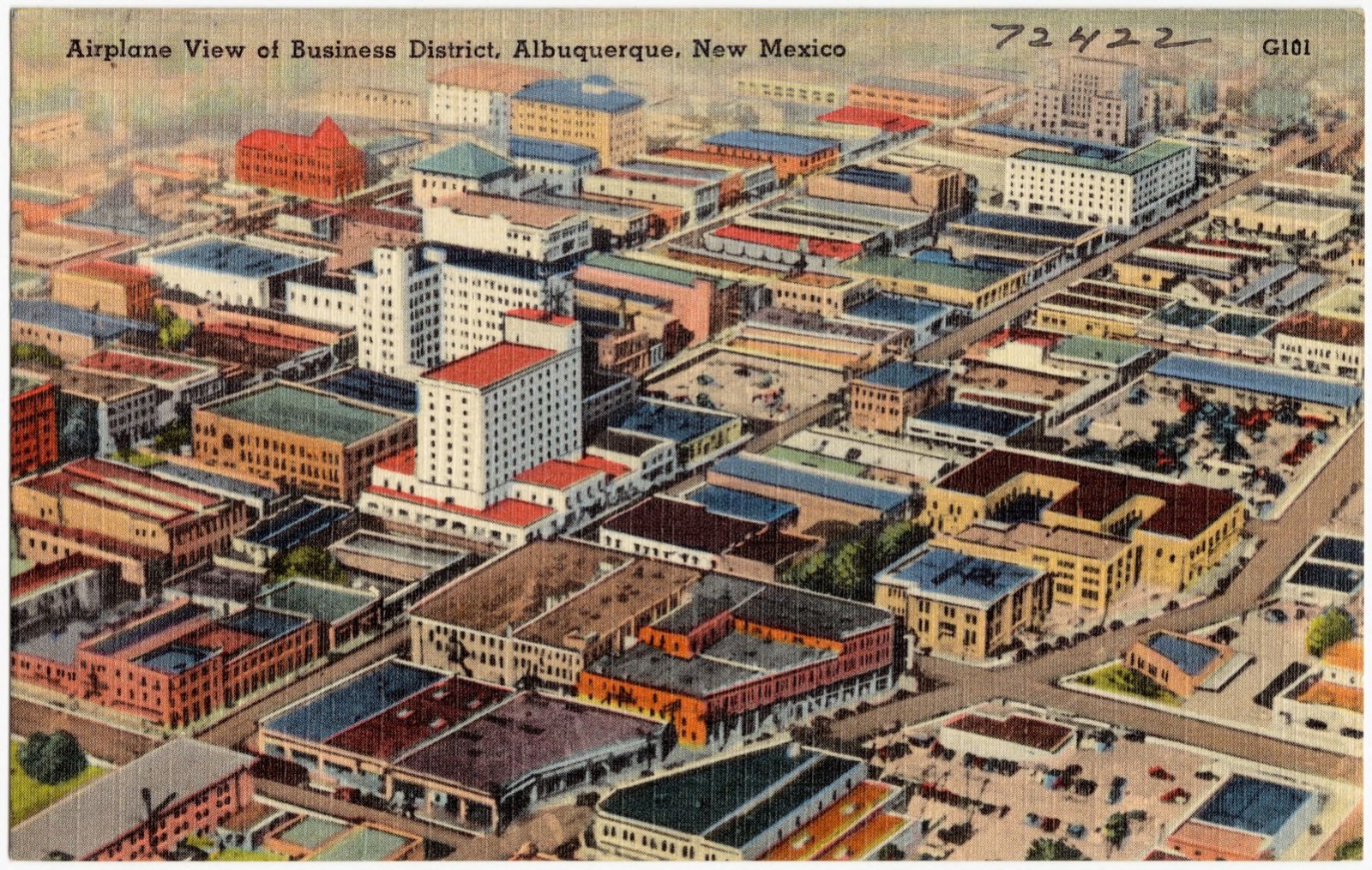
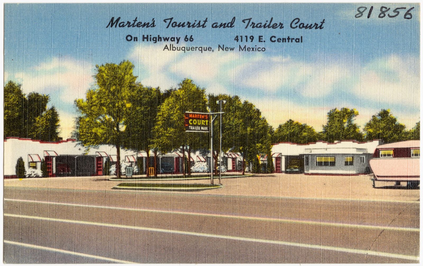
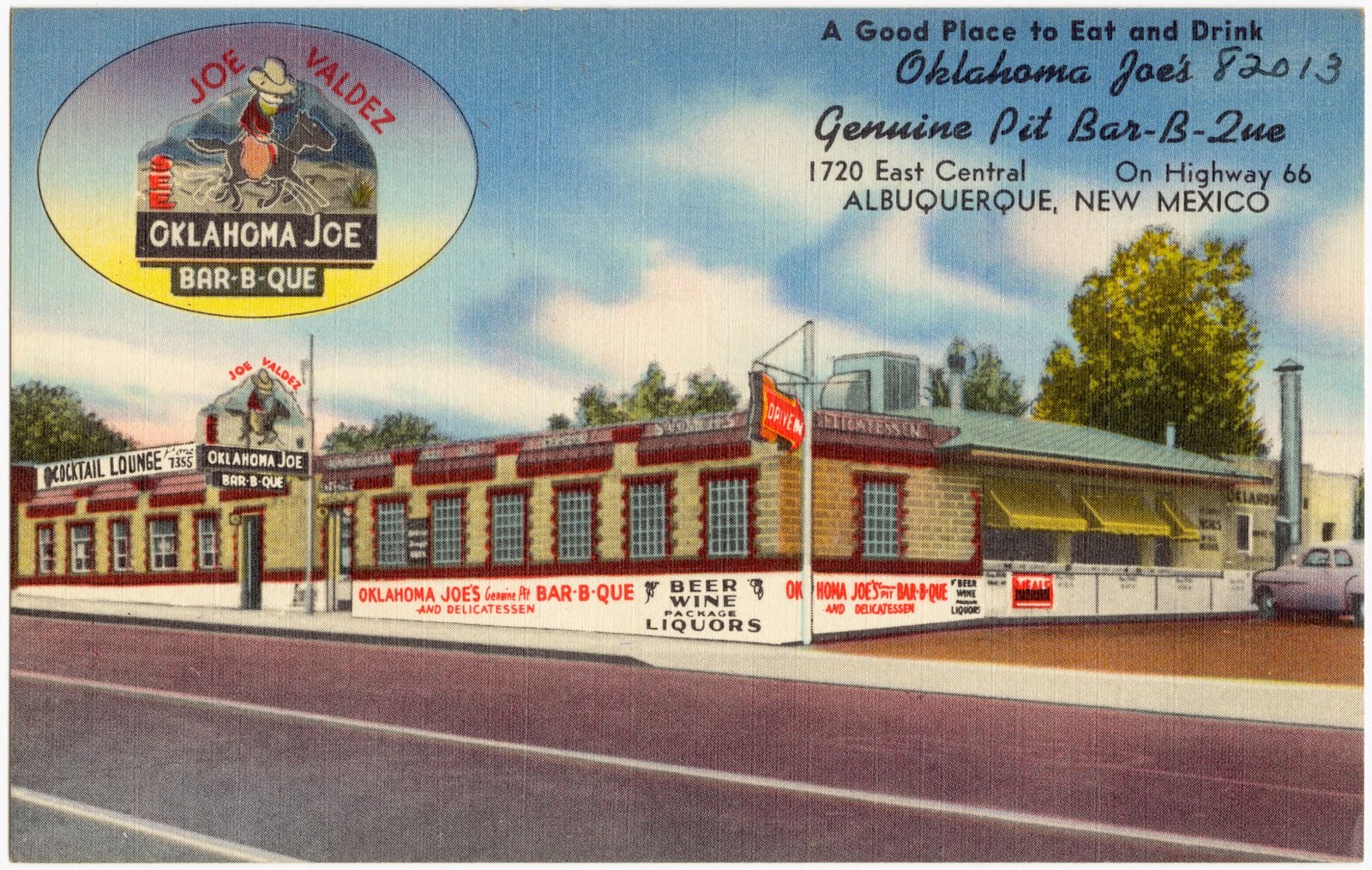
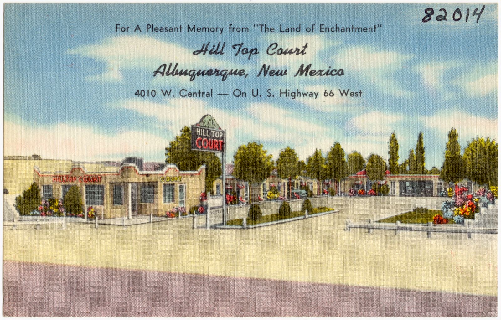
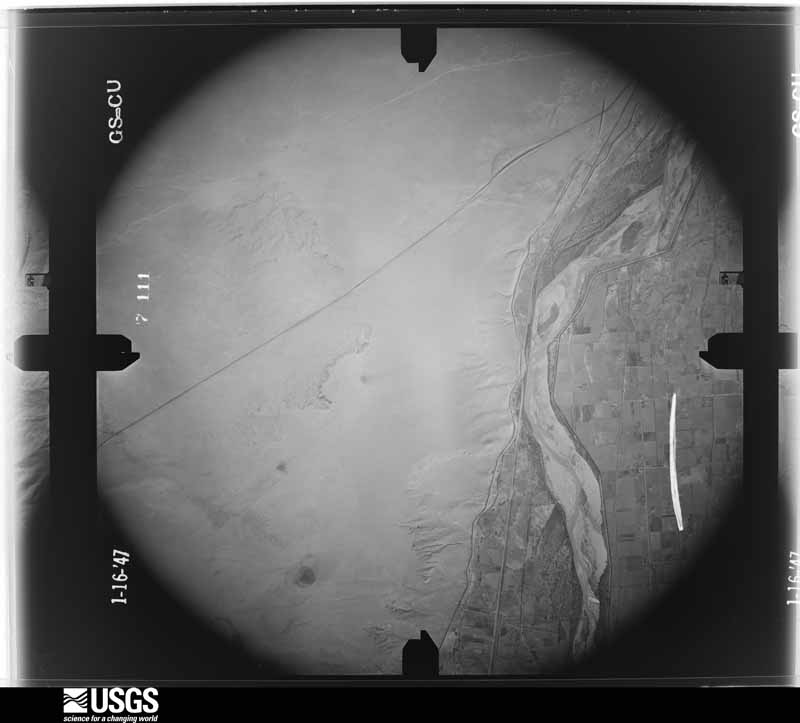
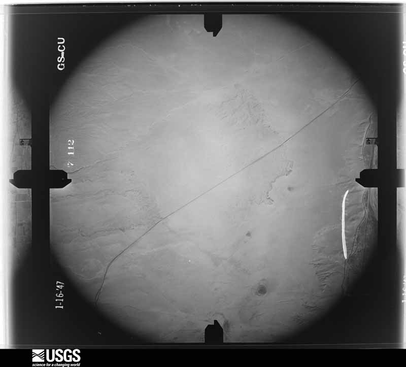
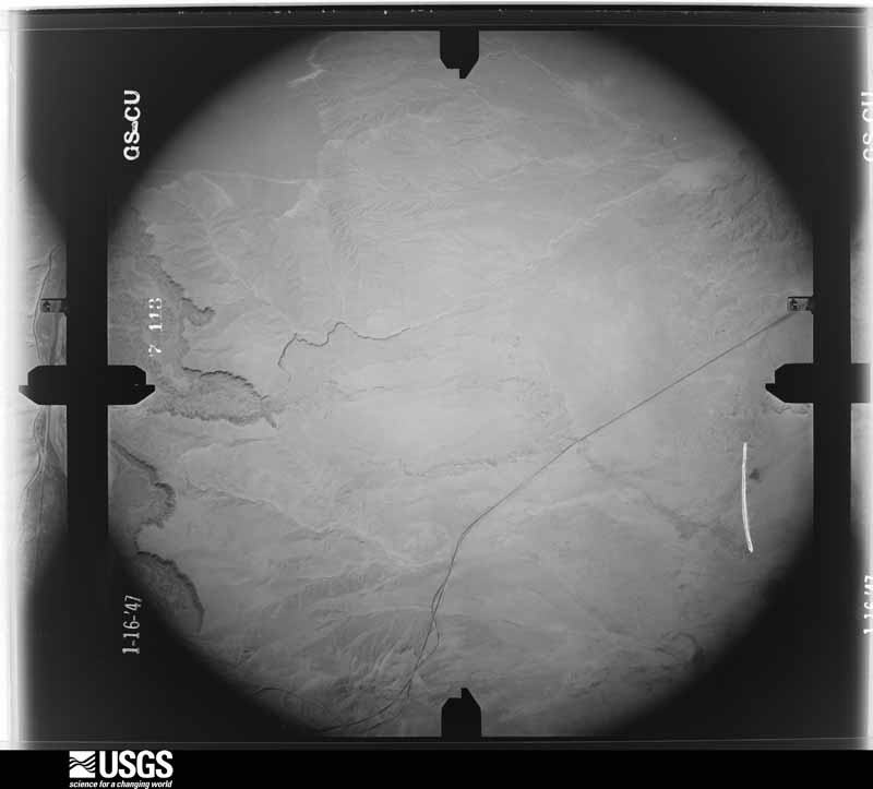
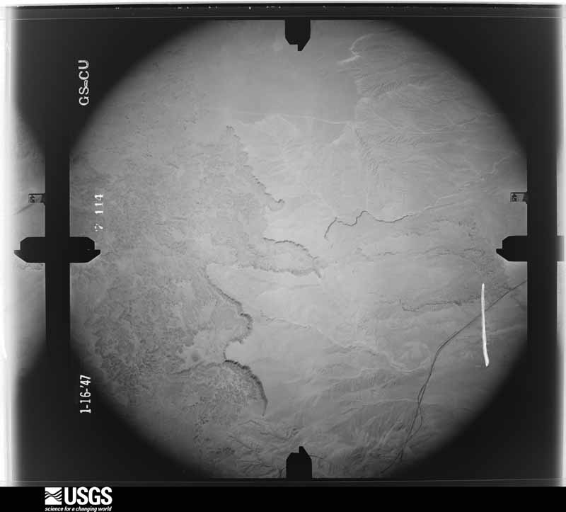
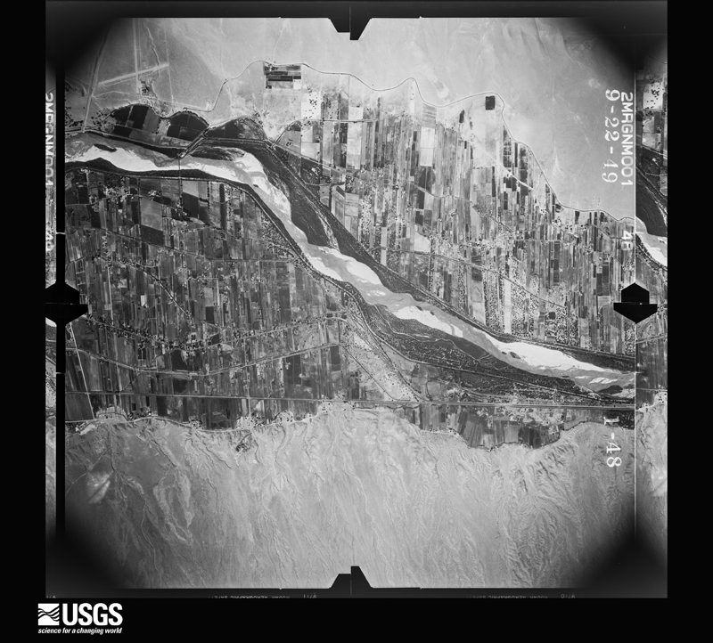
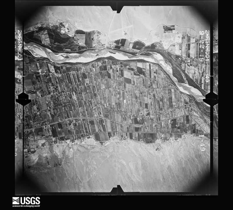
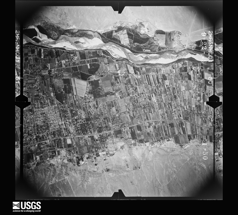
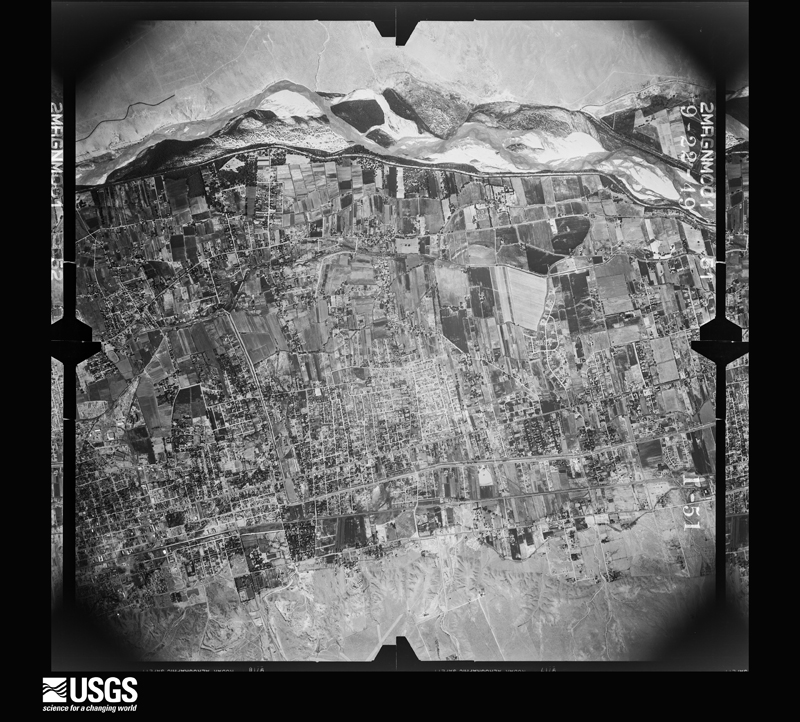
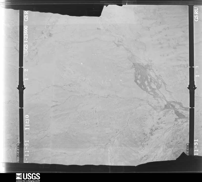
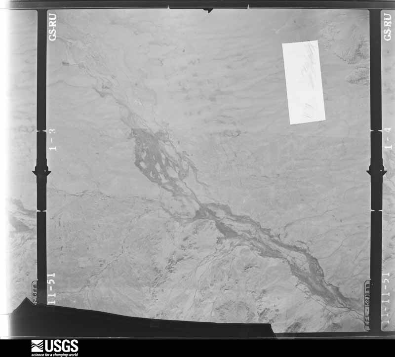
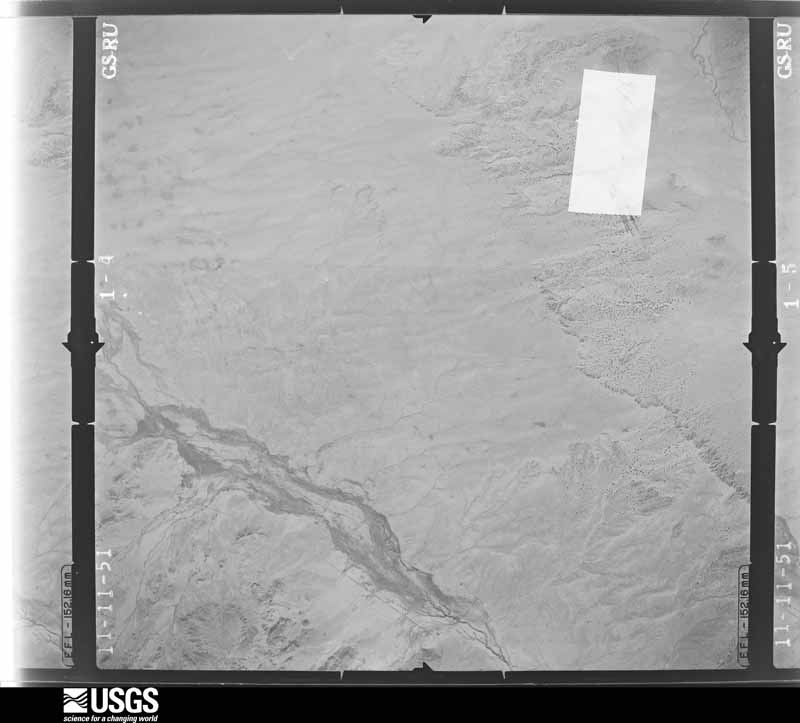
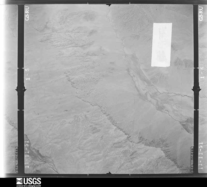
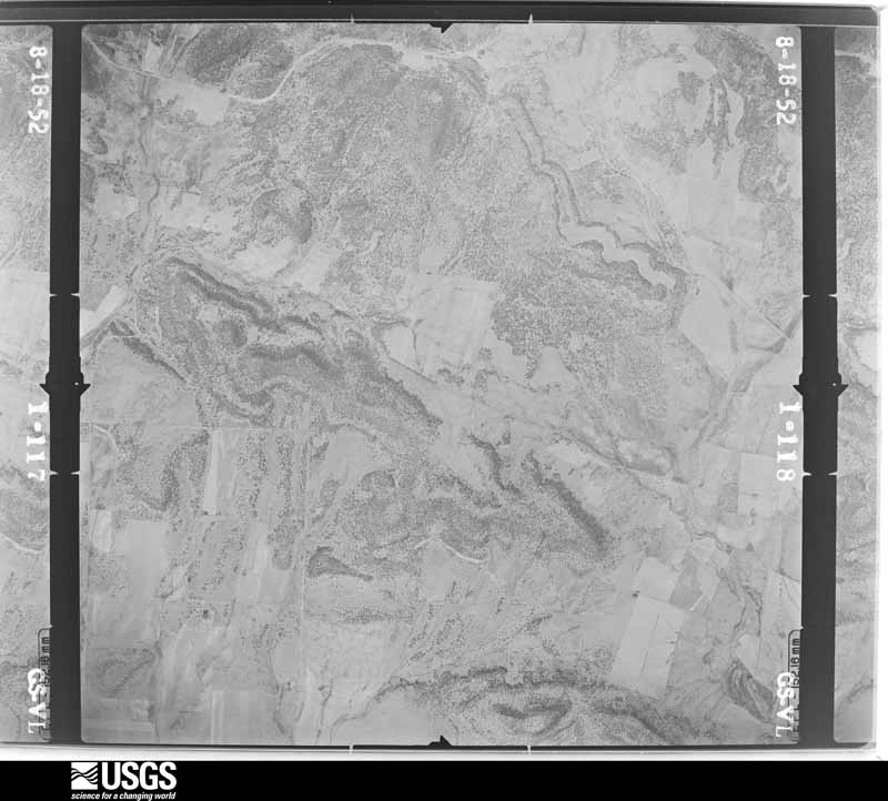
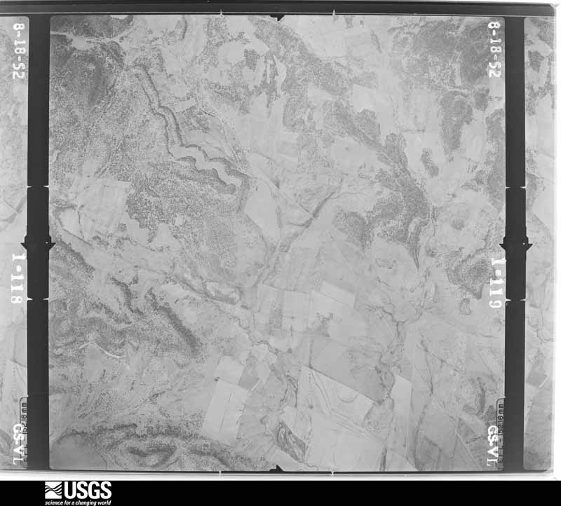
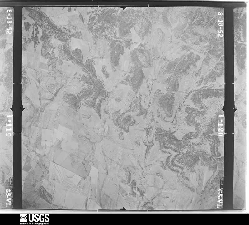
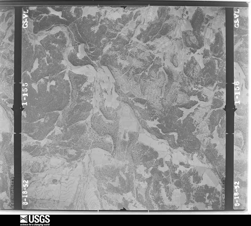
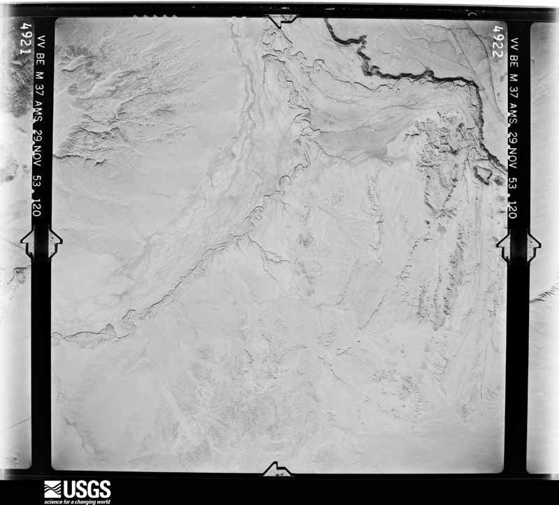
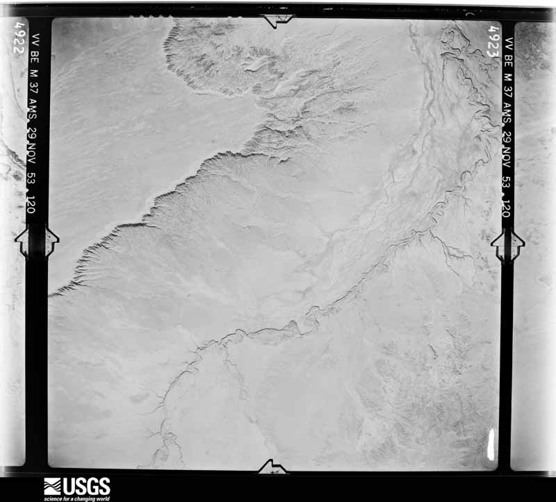
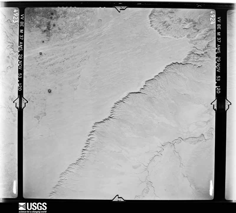
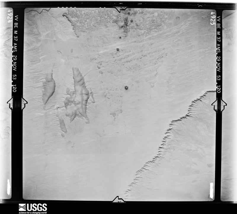
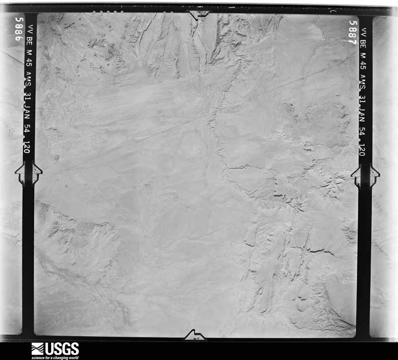
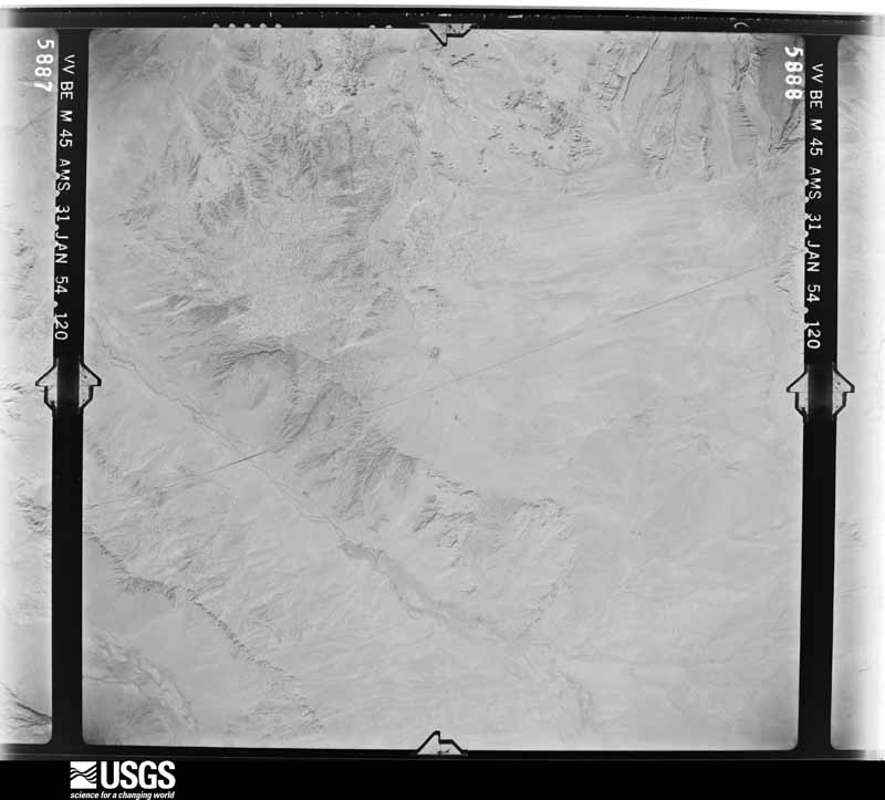
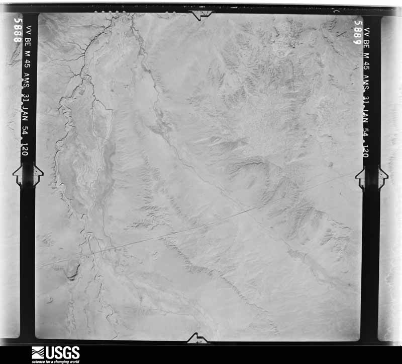
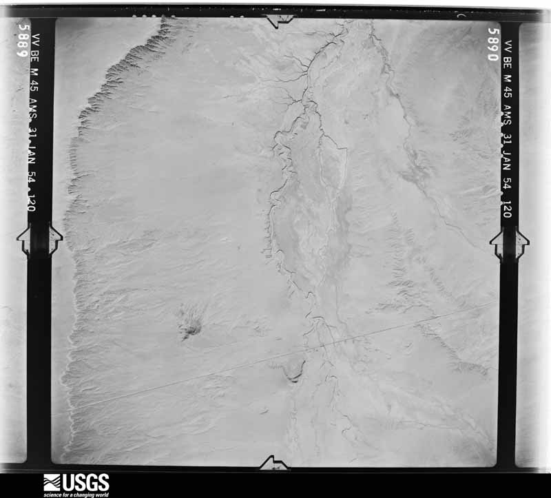
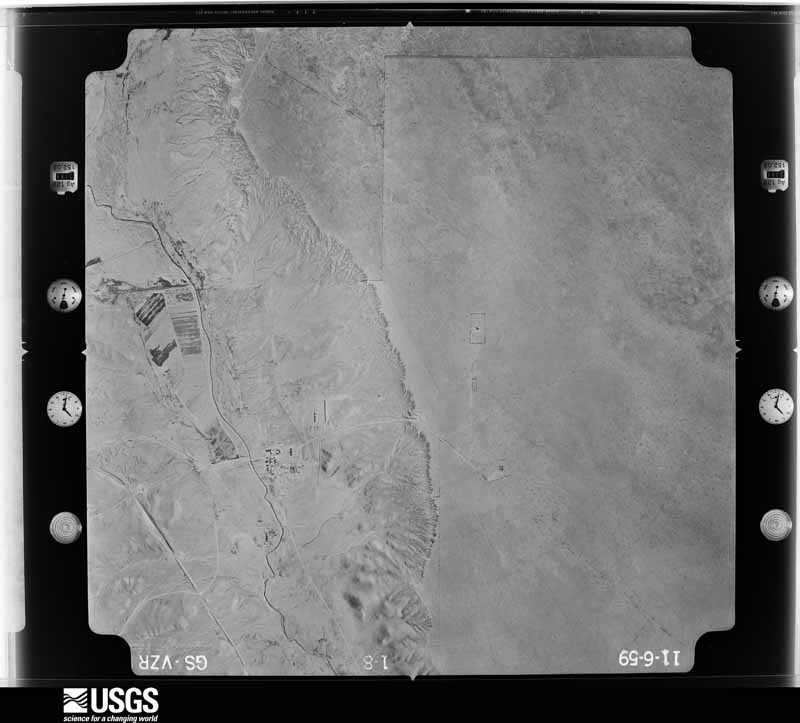
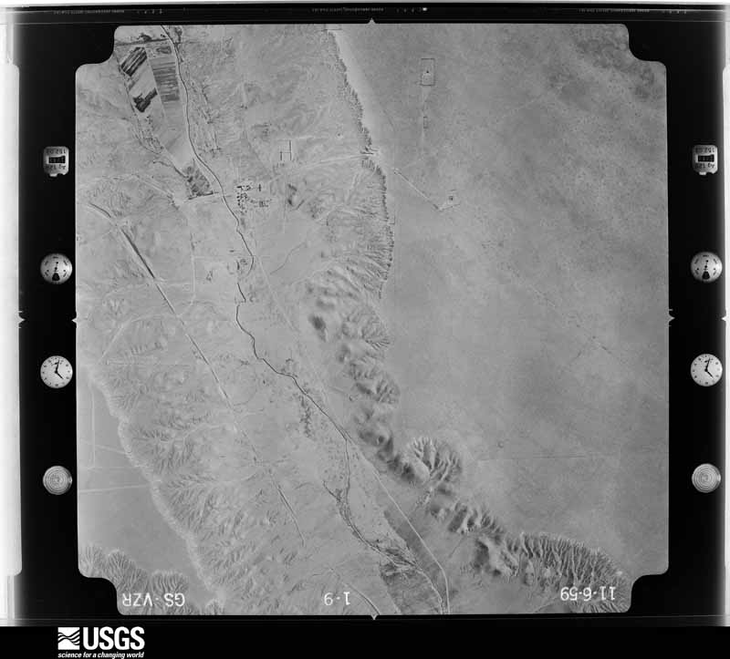
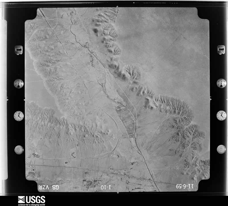
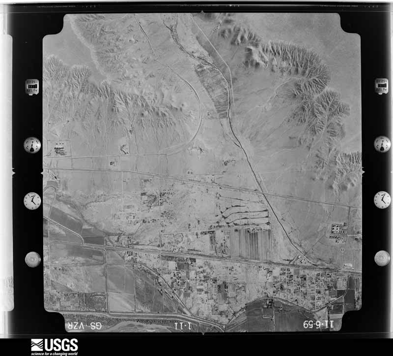
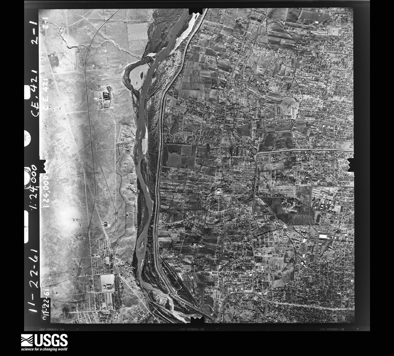
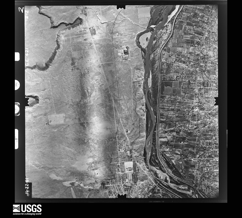
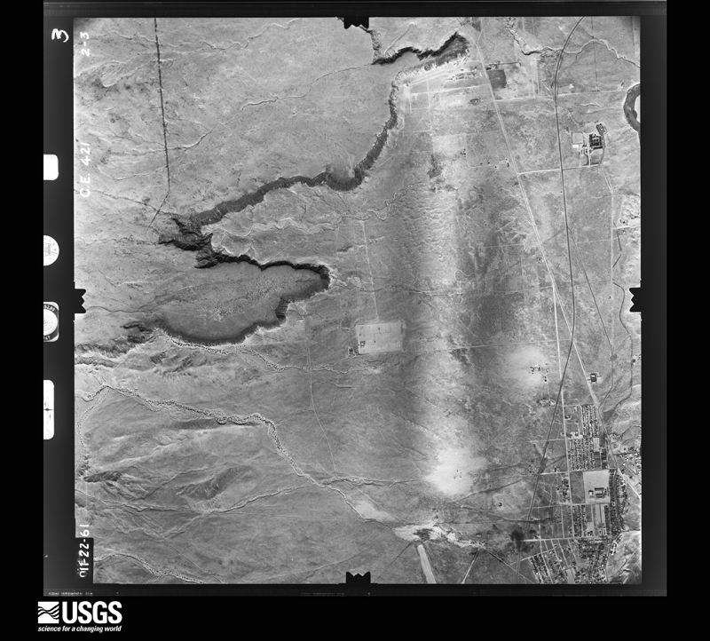
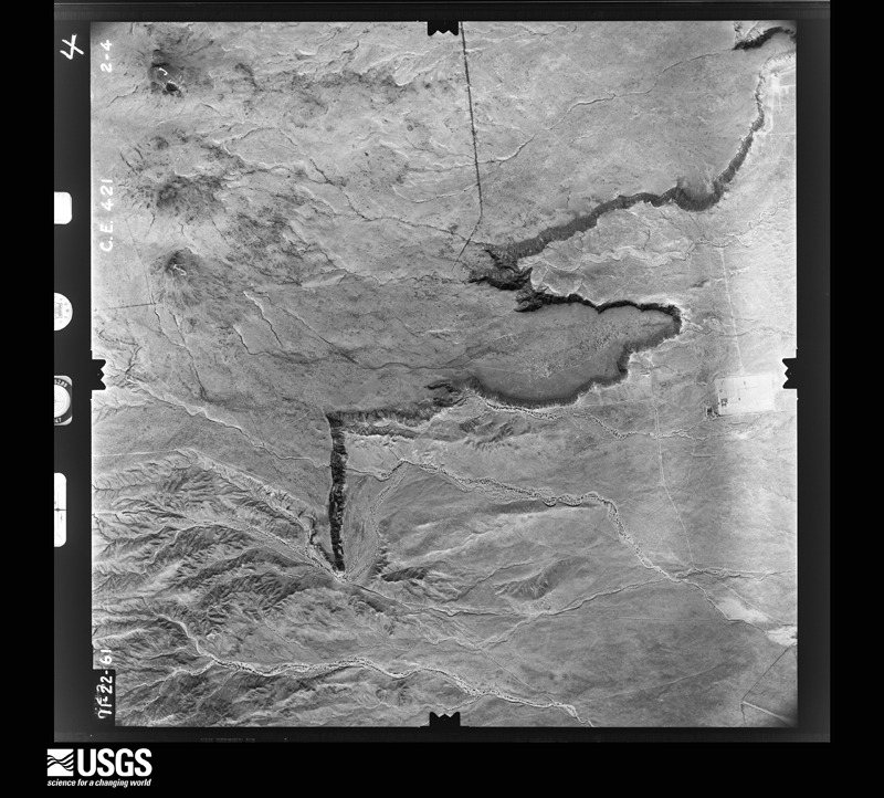
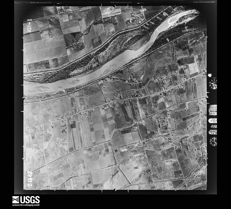
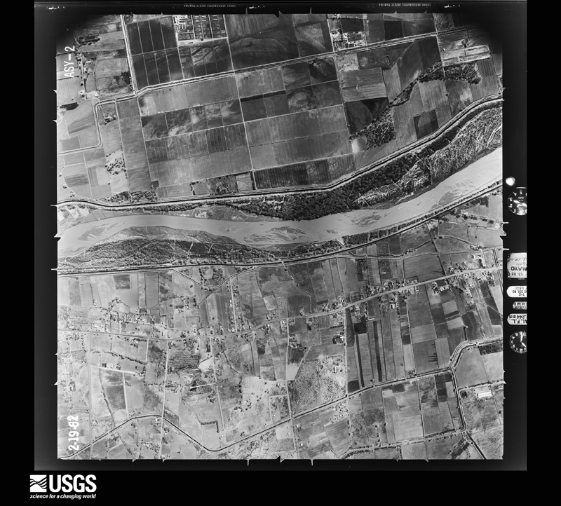
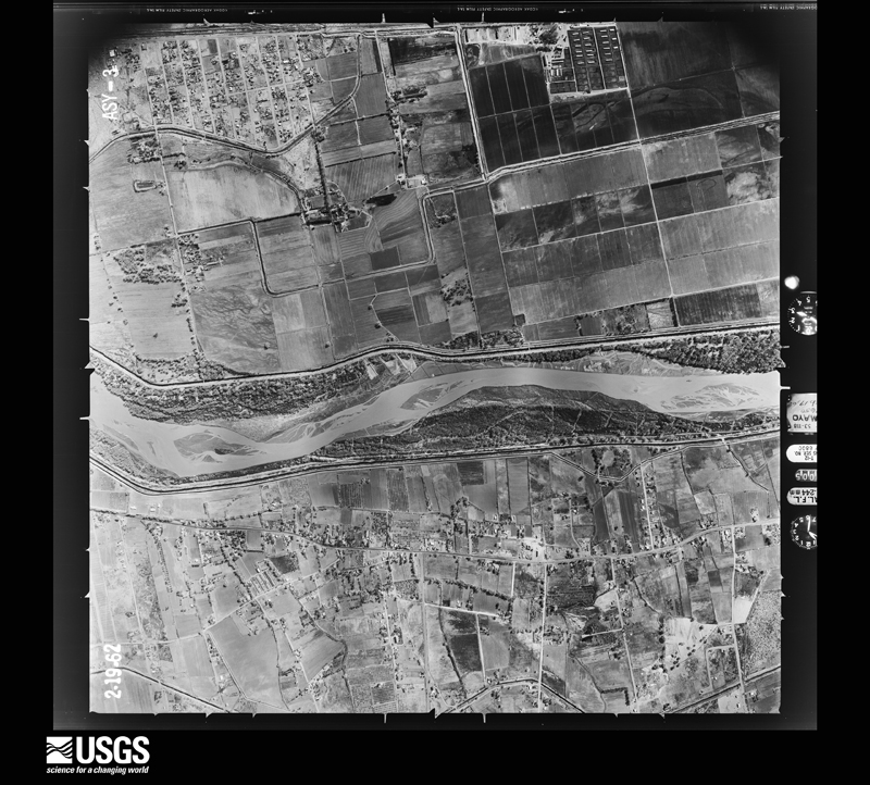
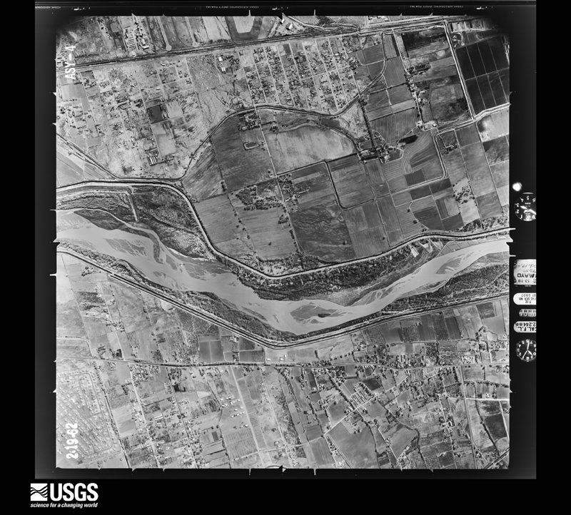
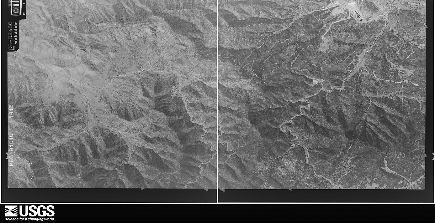
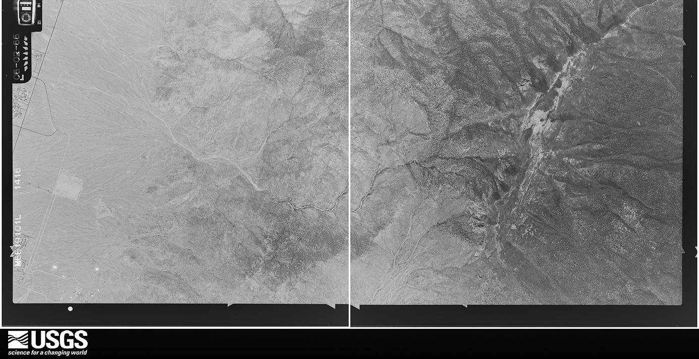
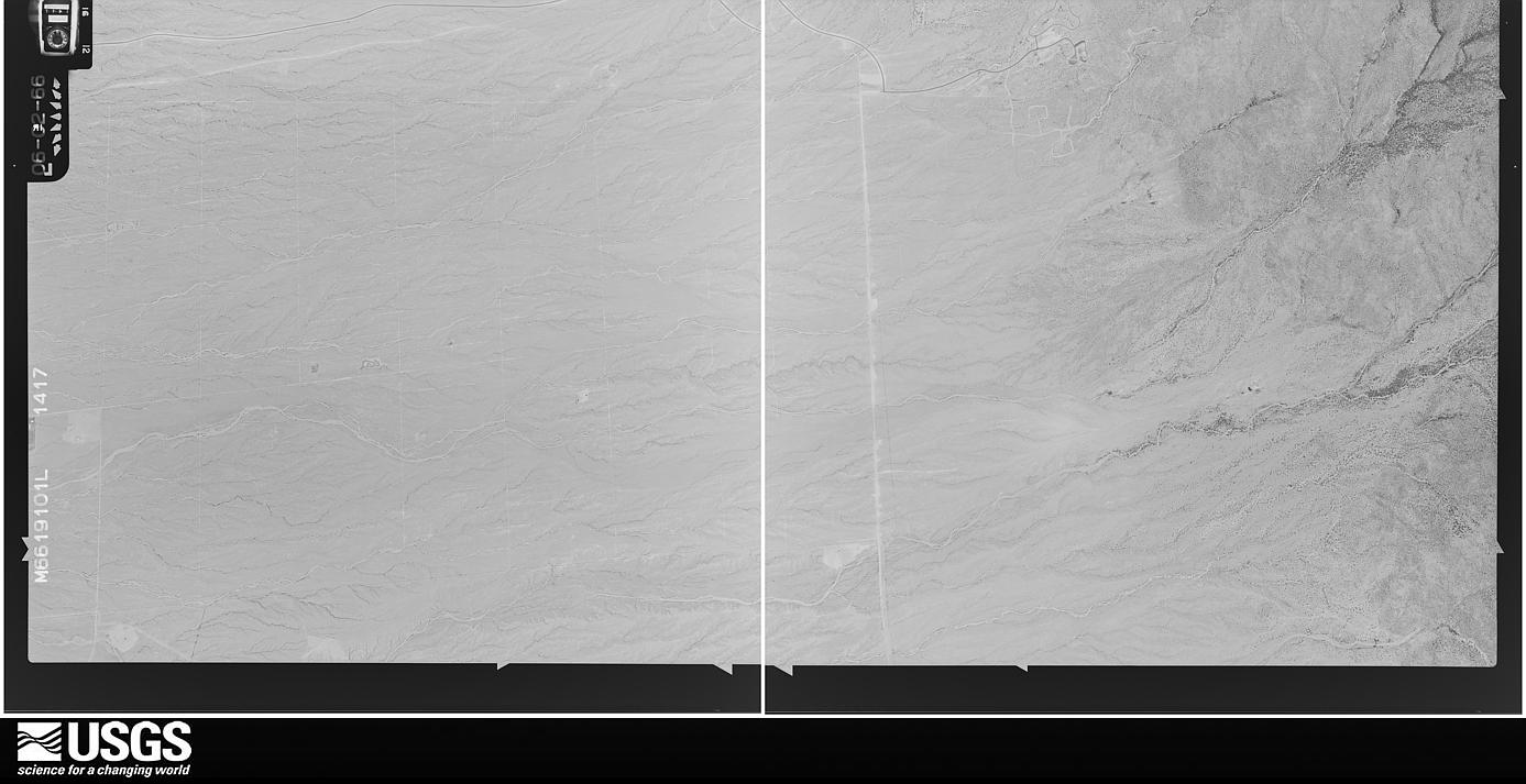
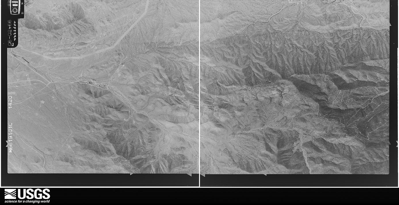
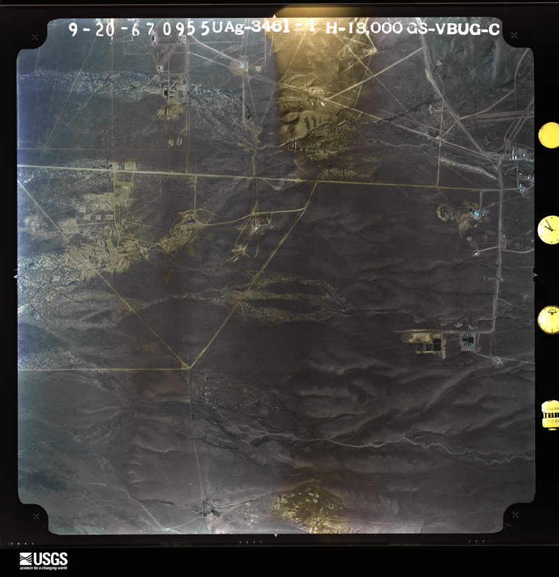
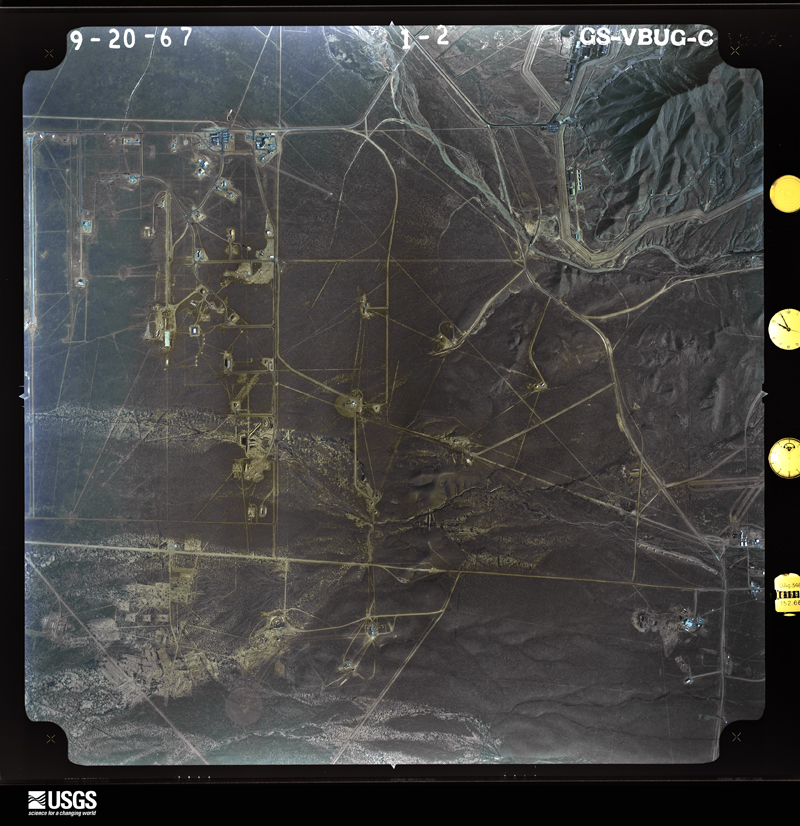
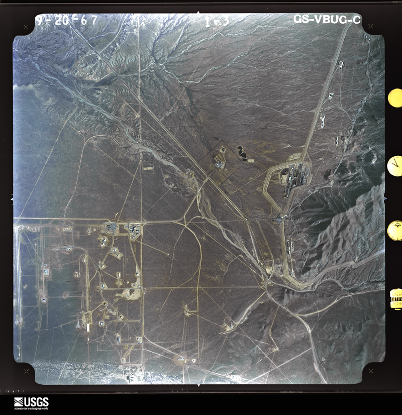
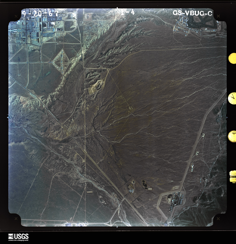
Flown by the U.S. Geological Survey between 1937 and 1989, the Aerial Photo Single Frames collection is the definitive mid-century view of the land: fields, roads and rivers as the camera saw them. The Survey holds 3,903 frames inside the rectangle that bounds this county; the 48 frames below were taken over the county itself, chosen across the decades of flights (at most four a year from that rectangle), so one flight cannot crowd out the rest. The full set is free to browse and download at EarthExplorer under the dataset Aerial Photo Single Frames.
The thermometers that kept this county's weather, and the gages that measured the flow of its streams, as the federal records hold them. The extremes below are measured values from those records, not estimates.
Who lived here in 1950, one enumeration district at a time, as the Census Bureau described each district. Each row opens its official National Archives result, with Population Schedules and ED Maps available there.
Every wildfire the federal occurrence database records inside this county: 1,071 of them, burning about 13,444 acres. 150 started naturally and 62 were recorded as arson. Each settlement page carries the fires within five miles of it.
| Reported cause | Fires |
|---|---|
| Missing data/not specified/undetermined | 319 |
| Debris and open burning | 251 |
| Natural | 150 |
| Recreation and ceremony | 142 |
| Arson/incendiarism | 62 |
| Equipment and vehicle use | 58 |
| Smoking | 34 |
| Misuse of fire by a minor | 18 |
| Fireworks | 16 |
| Power generation/transmission/distribution | 11 |
| Other causes | 5 |
| Railroad operations and maintenance | 4 |
| Firearms and explosives use | 1 |
The five largest, by the area the report gives. Two of them were set deliberately.
| Date | Cause | Size | Reported by | Name on the report |
|---|---|---|---|---|
| 23 August 2007 | Natural | 2,213 acres | New Mexico State Forestry Division | DOUBLE EAGLE |
| 14 April 1994 | Missing data/not specified/undetermined | 1,600 acres | New Mexico State Forestry Division | GUNCLUB |
| 12 April 1995 | Debris and open burning | 1,000 acres | Southern Pueblos Agency | 85 |
| 14 July 2005 | Natural | 640 acres | Cibola National Forest | AIRPORT |
| 13 July 2001 | Natural | 545 acres | New Mexico State Forestry Division | PUERCO |
| 31 March 2009 | Debris and open burning | 500 acres | New Mexico State Forestry Division | POWERLINE |
| 24 June 2003 | Arson/incendiarism | 352 acres | New Mexico State Forestry Division | ATRISCO |
| 25 June 2003 | Arson/incendiarism | 338 acres | New Mexico State Forestry Division | MONTANO |
Every settlement page carries the fires within five miles of it - see the settlement index below.
The NOAA Storm Events Database holds 457 reports for this county, causing 13 deaths, 25 injuries and about $21,436,090 in recorded property damage. Each settlement page carries the reports that name it.
| Kind of event | Reports |
|---|---|
| Hail | 186 |
| Thunderstorm Wind | 122 |
| Flash Flood | 97 |
| Tornado | 17 |
| Heavy Rain | 16 |
| Lightning | 11 |
| Dust Devil | 4 |
| Funnel Cloud | 2 |
| Heavy Snow | 1 |
| Debris Flow | 1 |
The most serious of them, by death, then injury, then recorded damage. The accounts are quoted exactly as the forecast office filed them.
| When | Event | Place named | Harm | What the report says |
|---|---|---|---|---|
| July 2021 | Flash Flood | Albuquerque | 3 killed | A thunderstorm with heavy rain rates of 3 to 4 inches per hour resulted in flash flooding across eastern portions of Albuquerque. Several reports of flooded roadways and yards in the Albuquerque foothills was received. The rainfall also quickly filled up in city's arroyos, and three people within the arroyos were swept away. Emergency crews performed water rescues for the three individuals for several hours on July 20th, but rescue efforts were not successful. Unfortunately, emergency personnel recovered the bodies of two adult men on July 21st in the diversion channel washout area, and the body of a third adult man was recovered on July 22nd. A spokesperson for Albuquerque Fire remarked that this was the deadliest flooding event in Albuquerque in recent memory. |
| May 2018 | Heavy Rain | Albuquerque | 1 killed, 5 hurt | An intense burst of rainfall dropped a quick one half inch to one inch of rainfall along with abundant hail in the Midtown area of Albuquerque. Six individuals occupying the urban flood control system were swept away. Five individuals were rescued but the sixth succumbed to flood waters. |
| August 2024 | Flash Flood | Kirtland Afb | 1 killed, 1 hurt | The Albuquerque Fire Department rescued an injured man and a dog in 7 feet of water in an arroyo channel. A second man was spotted lifeless moving down the North Diversion Channel near Menaul Blvd. and eventually Osuna Road. His body was recovered in the North Valley outfall of the channel. Rainfall of 0.50 to 1.40 was reported upstream of the arroyo channel. |
| September 2015 | Flash Flood | Albuquerque | 1 killed, $50,000 | Media reports indicated a man was swept away and died in fast moving water that filled the north diversion channel arroyo. Eye witness reports noted the man was outside the arroyo before somehow ending up in it and being swept away. Search and rescue attempts by the fire department found the body two hours later in the Rio Grande. The only other information available at this time is that it was a male between the ages of 20 and 30 years old. The intense rainfall rates also washed lots of landscaping material, including rocks, mud, and fabric material, into streets across the metro area. A water mark near Carlisle and Comanche suggested the water was as high as 2 feet in the intersection. Road crews spent several hours cleaning up streets across the city. |
| September 2009 | Flash Flood | Albuquerque | 1 killed, $1,000 | Four people in the North Diversion Channel under Interstate 25 at Montgomery Blvd. were swept downstream by swift moving water from a nearby thunderstorm that was producing heavy rain. Three men were able to pull themselves out of the Channel, but a fourth male, Brandon Clifford Jordan, was found dead the next day in the Channel at 2nd street and Alameda. |
| June 2025 | Flash Flood | Paradise Hills | 1 killed | Flash flooding in the Albuquerque arroyo channel system resulted in a fatality. The body was first spotted in the Hahn Arroyo near Pennsylvania Ave. in northeast Albuquerque before the deceased body was retrieved in the arroyo washout pond at the end of the North Diversion Channel near 4th Street and Edith Blvd. in the North Valley. |
| June 2024 | Flash Flood | Carnuel | 1 killed | Heavy rainfall caused sudden and strong runoff through diversion channels and arroyos across town. Swift water rescues were done at Rachel Road SE and Four Hills Road and Wyoming Blvd. and Indian School Road. Two people were rescued, while a third did not survive at the Rachel Road and Four Hills location. A debris flow was also reported within the Tijeras Arroyo that runs just south of the Albuquerque Sunport but water remained in its banks. |
| July 2021 | Flash Flood | Albuquerque | 1 killed | Heavy rain in northeast Albuquerque resulted in the city's arroyos filling quickly with fast-moving water. Albuquerque Fire and Rescue reported that two people were caught in the arroyo's flood water. One person was able to escape, but rescue efforts were not successful on the second individual. A woman's body was recovered the next day in the diversion channel. |
| September 2010 | Flash Flood | Carnuel | 1 killed | A 27-year old man was swept away by fast flowing water in the I-40 Channel. The man was walking in the arroyo with his brother near I-40 and Louisiana, when a rush of water swept the man off his feet. The man traveled west to the North Diversion Channel, then north to the Rio Grande River. He was found dead along a sand bar in the Rio Grande River three days later near Coors Bypass. He traveled a total distance of 13 miles. His brother made it out alive, without injury. |
| December 1997 | Heavy Snow | Tijeras | 1 killed | no account filed |
| August 1996 | Lightning | Albuquerque | 1 killed | no account filed |
| September 2003 | Thunderstorm Wind | Albuquerque | 4 hurt | Thunderstorms with gusty winds of 45-50 mph moved across Albuquerque. A large and leafy tree limb fell at the New Mexico State Fair causing minor injuries to 4 people. Two men were transported to hospital and then released. |
| July 2013 | Lightning | Carnuel | 3 hurt | On July 4th, during a torrential storm, Engine 12 and Rescue 12 of the Albuquerque Fire Dept. were near the area of Eubank and Copper when they heard a very loud lightning strike. Approximately 60-90 seconds later, Engine 12 was dispatched to a residence where a tree had been struck. Two individuals were injured including a pregnant woman who was two weeks away from her due date. The 38- week pregnant female and her boyfriend were assessed, treated and transported to a local hospital. The woman underwent an emergency C-section. Days later, mom and dad along with their new baby girl were released from the hospital. |
| July 1997 | Lightning | Albuquerque | 3 hurt | A propane truck exploded when struck by lightning, burning three men, two of them critically. |
| August 2014 | Heavy Rain | Albuquerque | 2 hurt | A 16-year-old girl and a homeless man were swept into the Embudo Arroyo channel in separate incidents. They were both rescued safely after a harrowing experience. |
| July 2018 | Hail | Kirtland Afb | 1 hurt, $400,000 | Hail up to the size of ping pong balls slams the UNM area and Nob Hill for five minutes. Trees and gardens were shredded and destroyed. Widespread hail damage occurred to vehicles. A woman walking to her car was struck by hail and required stitches. This is the first injury reported due to hail in Bernalillo County dating back to at least 1957. Damage amounts are a rough estimate for vehicles damaged in the UNM area. |
| July 2006 | Lightning | Corrales | 1 hurt | A 41-year old man was temporarily paralyzed by lightning which struck a fence about 5 feet away from where he was working. |
| July 2001 | Lightning | Albuquerque | 1 hurt | A 40 year old male operator at the city waste treatment plant was injured by a lightning strike. A report of a lightning fatality in Rio Rancho during the same storm was later determined to be a death from self-inflicted wounds. |
| July 1997 | Heavy Rain | Albuquerque | 1 hurt | A 41 year old man was rescued by the fire department from the Tramway Flood Channel in the Fourhills section of Albuquerque. The channel filled quickly from heavy rain of near 1 inch. It was unknown how the man, who was treated at hospital for hypothermia, became trapped in the arroyo channel. |
| September 1997 | Lightning | Albuquerque | 1 hurt | A 22-year old man suffered near fatal injuries from a lightning strike. The man had just taken refuge from heavy rain under a small tree. |
| August 2006 | Heavy Rain | Albuquerque | 1 hurt | no account filed |
| October 1996 | Lightning | (Abq)Albuquerque Int | 1 hurt | no account filed |
| October 2010 | Hail | Cedar Crest | $6,000,000 | Golf ball sized hail accumulated 2 inches deep on the ground. Over 200 houses sustained significant damage including roof and window damage. Multiple vehicles were also dented and damaged by the large hail. |
| October 2004 | Hail | Paradise Hills | $4,000,000 | no account filed |
| June 2024 | Flash Flood | (Aeg)Double Eagle Ii Airport | $2,000,000 | Heavy rain measured to have ranged from 1 to 2 inches within one hour across the Albuquerque metro area caused major flash flooding. Underpasses and low lying intersections in downtown were inundated with deep floodwaters. An SUV and public transit bus were partially submerged under the water and had to be retrieved by a tow truck. There were reports of street flooding and vehicles being stranded elsewhere across town. The Albuquerque Fire Department reported they performed 7 swift water rescues in the arroyos around town and 18 overall responses to folks impacted by the floodwaters. Of these responses, 10 were to help people stranded. An unknown number of homes near downtown and south of downtown received flood damage. The Albuquerque Police Department, Convention Center and City Hall also experienced flooding, but the damage was mostly aesthetic according to media reports. Total damage is an estimate based on limited information and extent of damage. |
| June 1999 | Flash Flood | Albuquerque | $1,200,000 | Heavy rain of 2 inches in 45 minutes swamped streets and dry arroyos across northern Albuquerque. Over 100 new automobiles on a dealer lot were flooded by rapidly rising water. Poor or clogged drainage was partially to blame for these losses. |
| August 2023 | Flash Flood | Albuquerque | $1,000,000 | Two rounds of thunderstorms produced heavy rain over the highlighted area that resulted in several reports of flash flooding impacts. Flash flooding forced debris over the roadway at the intersection Montgomery and Carlisle with rocks greater than 5 inches in diameter, and street flooding also observed at Moon and Menaul. High water rises were observed on area arroyos resulting in swift water rescue being deployed with two people able to self-rescue. I-40 westbound also saw two lanes close near San Pedro for emergency repairs. There was also 6 inches of standing water on the bridge over the Hahn Arroyo, with water also reaching the base of a pedestrian bridge over I-40 near San Mateo. |
| August 2014 | Flash Flood | Albuquerque | $1,000,000 | Three cars were abandoned in 9 feet of flood water at Central Ave and the 1st Street bridge. Drivers were rescued and swam to safety. Flood water were reported flowing through the Q Burger restaurant at 3rd and Central. The torrent of water toppled a tree at Coal and Walter. Four other vehicles were abandoned in flood waters at Lomas and Broadway. A photo posted from local media showed the Vietnam Memorial park completely inundated with flood water. A local school also reported water inside the facility. A large sink hole developed at the intersection of MLKJ and Broadway. The entire intersection was destroyed. Several underground parking garages around the Convention Center were inundated with water several feet deep. |
| July 2013 | Thunderstorm Wind | (Abq)Albuquerque Intl Airport | $1,000,000 | Albuquerque ASOS recorded a historical 89mph wind gust. Sustained wind speed at the time was 64mph. HAM radio antennae at the WFO bent from winds. Widespread tree and structural damage along with flooding resulted in over 1 million dollars in damages. |
| October 2004 | Heavy Rain | Albuquerque | $1,000,000 | no account filed |
| May 2021 | Flash Flood | (Aeg)Double Eagle Ii Airport | $500,000 | Heavy rain from a severe thunderstorm resulted in flash flooding on the west side of Albuquerque. An estimated six inches of water on the roadways along with three inches of hail accumulation resulted in major flash flooding along Coors Boulevard and Paseo del Norte as well as Coors Boulevard and Alameda. Numerous cars were stalled along the major travel corridor in northwest Albuquerque. Farther south near Central Avenue and 52nd Street, multiple homes and garages in the neighborhood were flooded with several inches of rain and nearly six inches of hail accumulation. Damages are estimated. |
| August 2008 | Flash Flood | Hahn | $300,000 | Extensive flash flooding was observed across much of central and north|central Albuquerque on the evening of the 8th. Carlisle road was especially hit hard. Two feet of water was flowing over Carlisle and Montgomery and some apartments had water in them near this intersection. High water was also reported at Carlisle and Lomas, Candelaria and Edith, and Osuna and Jefferson. One person was rescued from the Interstate 40 diversion channel which had several feet of fast moving water in it. |
| July 2013 | Heavy Rain | Albuquerque | $250,000 | Torrential rainfall reported within the area from Paseo del Norte and Wyoming south to around San Antonio and Louisiana. 2.54 inches of rain was reported at La Cueva high school and 3.24 inches was reported near San Francisco and San Antonio. Fire department reported lots of roadways with flooding however no flash flooding was directly observed. The North Diversion Channel at the Alameda Bridge reported at top 10 flow of 7,120cfs. |
| September 1985 | Tornado (F0) | not stated | $250,000 | no account filed |
| July 2014 | Flash Flood | (Abq)Albuquerque Intl Airport | $200,000 | Several new homes in Mesa del Sol with several inches of water inside. Many yards with up to 6 inches of standing water. |
| July 2018 | Hail | Albuquerque | $100,000 | Hail up to the size of quarters at Indian School and Madison. Leaves shredded on most trees. Damage amounts are estimated for numerous vehicles in the area. |
| July 2018 | Hail | Kirtland Afb | $100,000 | Hail up to the size of quarters at Lomas and Carlisle shredded leaves from trees and damaged shade fabric. Damage amounts are estimated for numerous vehicles in the area. |
| July 2018 | Hail | Kirtland Afb | $100,000 | Hail up to the size of quarters at Santa Clara and Vassar. Leaves shredded with damage to vehicles. Damage amounts are estimated for numerous vehicles in the area. |
| July 2018 | Hail | Albuquerque | $100,000 | Hail up to the size of half dollars fell for nearly five minutes. Hail damaged residential roofs, several vehicles, a camper, and completely destroyed gardens. Hail was piled up nearly 12 inches along the side of homes. Damage amounts are estimated for numerous roofs and vehicles in the area. |
| June 2016 | Thunderstorm Wind | Carnuel | $100,000 | Roof partially torn off roller skating rink near Interstate 40 and Juan Tabo. |
| September 2014 | Thunderstorm Wind | Kirtland Afb | $100,000 | Safety director at the Expo New Mexico reported that the festival tent for the Rio Grande Arts and Crafts fair was destroyed due to thunderstorm wind. |
| July 2013 | Thunderstorm Wind | (Abq)Albuquerque Intl Airport | $100,000 | Interstate 25 northbound closed from Rio Bravo to Gibson due to downed power lines along highway. |
| July 2006 | Flash Flood | Albuquerque | $100,000 | no account filed |
| July 1997 | Flash Flood | Albuquerque | $100,000 | no account filed |
| September 1996 | Lightning | Albuquerque | $70,000 | no account filed |
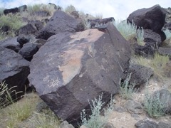
| September 2013 | Flash Flood | Paradise Hills | $60,000 | A mud slide up to 3 feet deep flowed into yards, homes, and a street near the Petroglyph National Monument Open Space. |
| September 2025 | Flash Flood | Kirtland Afb | $50,000 | A post on social media showed flooded roadways in some neighborhoods on Kirtland Air Force Base. Time and location are an estimate based on radar and the photos in the social media post. |
| July 2018 | Flash Flood | Albuquerque | $50,000 | A fire truck was pulled from flood waters near Central Avenue and 1st Street. Tingley Park was completely inundated with flood waters. Landscaping was washed into several streets between downtown and UNM campus. Damage amounts are a very rough estimate. |
| May 2017 | Thunderstorm Wind | (Abq)Albuquerque Intl Airport | $50,000 | Several trees, power poles, and power lines were blown down across downtown Albuquerque. |
| July 2016 | Flash Flood | Kirtland Afb | $50,000 | Intersection of Silver and Yale flooded. Cars reported flooded out in water across several areas of Nob Hill. |
| July 2013 | Flash Flood | (Abq)Albuquerque Intl Airport | $50,000 | Several homes were damaged by flood waters in the Albuquerque South Valley. The heavy rain began during the evening hours around 830pm and continued until close to 1030pm with rainfall amounts ranging from 0.50 to nearly 2.70. The Albuquerque Metro Area Flood Control Authority reported that Amole Dam retained an estimated 400 acre-feet of storm-water, which was the first time the dam had nearly filled since it was built in the early 1990s. The Amole Dam is 2000 feet long, 700 feet wide, and 33 feet deep. |
| July 2013 | Flash Flood | Albuquerque | $50,000 | Several vehicles submerged on Central Avenue under the railroad tracks. AMAFCA noted that at one point the Broadway Pump Station did not activate. This may have been due to a power failure. This caused some flooding at Broadway and Lomas. That water flowed south and taxed the storm drainage network to the south. The South Broadway Detention Basin may have overtopped. At Tingley Park (which is a surge pond) the ring and cover was knocked loose by the water in the storm drain but it is unclear whether or not the Alcalde and Barelas Pump Stations then failed. |
| July 2013 | Thunderstorm Wind | Albuquerque | $50,000 | Large tree limbs downed at the Albuquerque Zoo. |
| August 2008 | Flash Flood | Adobe Acres | $50,000 | Runoff from heavy rain caused a retaining wall to collapse. Several homes were flooded as a result. |
| August 1998 | Heavy Rain | Albuquerque | $50,000 | Heavy rain produced extensive street flooding and damaged business and homes in the South Valley section of Albuquerque. |
| January 1994 | Thunderstorm Wind | Albuquerque | $50,000 | A fast moving cold front brought an abrupt end to the mild weather of recent weeks and produced thunderstorms around the city. The quick-hitting storm produced damage, especially in southern Albuquerque. Three-quarters of the roof of the Roadrunner Food Bank was ripped off and one side of the brick building also caved in. The storm also knocked down trees and caused power outages to 500 customers centered around the area of Broadway Boulevard and Interstate 25, north of Stadium and Gibson Boulevards southeast. One hundred outages were scattered through the rest of Albuquerque and another 100 in the East Mountains. Winds gusted to 47 knots (54 mph) nearby at the Albuquerque International Airport at 1818 MST. |
| July 1996 | Flash Flood | Tijeras | $35,000 | no account filed |
| June 2023 | Flash Flood | Cedar Crest | $30,000 | Vehicle stuck in flood waters and partially submerged in mud along Sedillo Road. |
| June 2014 | Thunderstorm Wind | Albuquerque | $30,000 | Multiple local news outlets reported that a wedding tent collapsed due to high winds injuring guests. The winds were outflow winds from a storm to the north of the location. Gusts estimated to be 60 + mph. The tent was a 40x80 ft tent which collapsed onto a wedding reception party during dinner service. Two women were taken to the hospital for non-life threatening injuries while 6 others sustained minor injuries. |
| June 2014 | Thunderstorm Wind | Albuquerque | $30,000 | Large outdoor event tent was toppled and destroyed at the Albuquerque Folk Festival being held at the Albuquerque Balloon Museum. There is a video of the incident on Youtube. Winds are thought to be the outflow from a storm to the north. Winds at the Albuquerque Sunport gusted to 52mph, thought to be at least 60+ where this event happened. No injuries reported. |
The Survey's mineral resources record lists 162 workings inside this county. 48 still produce and 114 are closed or unrecorded. Each settlement page carries the workings within five miles of it.
| Commodity | Workings |
|---|---|
| Sand and Gravel, Construction | 67 |
| Fluorine-Fluorite | 16 |
| Stone, Crushed/Broken | 15 |
| Clay | 10 |
| Pumice | 8 |
| Uranium | 4 |
| Volcanic Materials | 3 |
| Limestone, General | 3 |
| Copper | 3 |
| Gypsum-Anhydrite | 3 |
| Gold | 3 |
| Lead, Barium-Barite | 2 |
| Fluorine-Fluorite, Lead | 2 |
| Copper, Gold | 2 |
The least common of them first, because a county's hundredth gravel pit says nothing its first ten did not.
| Where | Site | Commodity | Status | Recorded |
|---|---|---|---|---|
| Alpha Mine | REE | Unknown | ||
| Carbonatite Deposit | Cobalt | Unknown | ||
| Darrel Prospect | Lead, Fluorine-Fluorite | Occurrence | 1915 | |
| Galena King Mine | Fluorine-Fluorite, Lead, Silver, Gold | Past Producer | 1910, 1925 | |
| Great Combination Mine | Gold, Silver, Copper | Past Producer | 1955 | |
| Ideal Basic Industries Cement Plant and Quarry | Cement Rock | Producer | 1959 | |
| La Luz Mine | Lead, Silver, Fluorine-Fluorite, Copper, Gold, Barium-Barite | Occurrence | 1887 | |
| La Quava and La Madera | Beryllium, Lithium, Zirconium | Unknown | ||
| Little Apples Co. Mine | Copper, Gold, Silver | Occurrence | ||
| Mary M | Gold, Silver, Lead, Copper | Past Producer | ||
| Materials Pit 58-9-S | Limestone, Dimension | Producer | ||
| Mohawk Prospect | Fluorine-Fluorite, Lead, Barium-Barite, Copper | Occurrence | Barite, Chalcopyrite, Chrysocolla, Fluorite, Galena, Malachite | |
| Moore Prospect | Beryllium, Fluorine-Fluorite | Unknown | ||
| Shakespeare Mine | Barium-Barite, Copper, Fluorine-Fluorite | Occurrence | Barite, Chalcocite, Copper, Fluorite | |
| Silver Ring-Verdun Claims | Gold, Silver, Lead | Unknown | ||
| Tijeras Mine | Limestone, General, Stone, Crushed/Broken | Producer | Sedimentary | |
| Tijeras Pit | Clay, Stone | Producer | Sedimentary | |
| Wylie Pit | Stone | Producer | ||
| York Mine | Zinc, Gold, Copper | Occurrence | Chalcopyrite, Gold, Sphalerite | |
| Blackbird Mine | Fluorine-Fluorite, Lead, Barium-Barite | Past Producer | 1943 | |
| Galena King | Fluorine-Fluorite, Lead | Past Producer | ||
| Isleta Quartz Mine | Quartz | Unknown | ||
| Isleta Well | Geothermal | Unknown | ||
| Mary M Mine | Copper, Gold | Past Producer | 1955 | |
| Milagros Mine | Copper, Gold | Past Producer | ||
| Quartz Mine No 1 | Quartz | Unknown | ||
| Schmidt Prospect | Fluorine-Fluorite, Lead, Barium-Barite | Occurrence | Barite, Fluorite, Galena | |
| Syracuse Mine | Uranium, Vanadium | Past Producer | Carnotite | |
| Unknown Name Clay Pit | Fire Clay (Refractory) | Producer | Sedimentary | |
| Unknown Name Fire-Clay Pit | Fire Clay (Refractory) | Producer | Sedimentary | |
| Upper Canyon Mine | Uranium, Vanadium | Past Producer | Carnotite, Tyuyamunite | |
| West Mesa Well | Geothermal | Unknown | ||
| American Gypsum Plant | Gypsum-Anhydrite | Producer | ||
| Copper Prospect | Copper | Occurrence | ||
| Crushing & Milling Sect. | Gypsum-Anhydrite | Producer | ||
| Great Combination Group | Gold | Occurrence | ||
| Gypsum Pit | Gypsum-Anhydrite | Unknown | ||
| La Don Mine | Copper | Unknown | ||
| Limestone Quarry | Limestone, General | Producer | ||
| Name Unknown Scoria Deposit | Volcanic Materials | Occurrence | Scoria | |
| Name Unknown Scoria Deposit | Volcanic Materials | Occurrence | Scoria | |
| Name Unknown Scoria Deposit | Volcanic Materials | Producer | Scoria | |
| P&G Claims | Copper | Prospect | ||
| River View Placer | Gold | Unknown | ||
| Sedillo Hill | Limestone, General | Producer | Sedimentary | |
| Surface Pit #72-6-S and Crusher | Limestone, General | Producer | ||
| Cerro Colorado-Archuleta Prospect | Uranium | Occurrence | ||
| Unnamed Uranium Deposit | Uranium | Unknown | ||
| Uranium Claim | Uranium | Occurrence | ||
| Uranium Claim | Uranium | Occurrence | ||
| 6026 North Second St. Plant | Pumice | Unknown | ||
| 9700 North 2nd Crusher | Pumice | Producer | ||
| 9700 North Second Plant | Pumice | Unknown | ||
| Blackbird Hill | Pumice | Unknown | ||
| Edgar D.Otto Mine | Pumice | Unknown | ||
| Esquire Claims 5-9 Plant | Pumice | Producer | ||
| Quail Lode | Pumice | Unknown | ||
| Utility Block Co. Plant | Pumice | Producer | ||
| Adobe Enterprises, Inc. | Clay | Producer | Sedimentary | |
| Hattie Clay Pits | Clay | Unknown | ||
| Hattie Mine | Clay | Producer | Sedimentary | |
| Ideal Basic Limestone Quarry | Stone, Crushed/Broken, Clay | Producer | ||
| Kinney Brick Plant | Clay | Producer | ||
| Kinney Clay Pit | Clay | Unknown | ||
| Materials Pit #57-45-F | Clay | Unknown | ||
| New Mexico Earth | Clay | Producer | Sedimentary | |
| Tijeras Mine | Clay | Unknown | ||
| Western Adobe | Clay | Producer | Sedimentary | |
| Ideal Basic Cement Plant | Stone, Crushed/Broken | Producer | ||
| Materials Pit #63-30-S | Stone, Crushed/Broken | Unknown | ||
| Materials Pit #57-26-S | Stone, Crushed/Broken | Unknown | ||
| Materials Pit #62-45-S | Stone, Crushed/Broken | Unknown | ||
| Materials Pit #65-56-S | Stone, Crushed/Broken | Unknown | ||
| Materials Pit #73-16-S | Stone, Crushed/Broken | Unknown | ||
| Materials Pit 58-43-S | Stone, Crushed/Broken | Unknown | ||
| Materials Pit 59-15-S | Stone, Crushed/Broken | Unknown | ||
| Materials Pit 65-55-S | Stone, Crushed/Broken | Unknown | ||
| Molly R. | Stone, Crushed/Broken | Occurrence | ||
| New Pueblo Limestone Quarry | Stone, Crushed/Broken | Producer | ||
| Parea Mesa Pit & Crushing | Stone, Crushed/Broken | Unknown | ||
| Tijeras Lime Pit | Stone, Crushed/Broken | Producer | ||
| Wildacres Pit | Stone, Crushed/Broken | Producer | ||
| Aragon & Little Prospect | Fluorine-Fluorite | Unknown | ||
| Blackbird Mine | Fluorine-Fluorite | Past Producer | ||
| Blue Sky | Fluorine-Fluorite | Past Producer | ||
| Cerro Pelon | Fluorine-Fluorite | Past Producer | ||
| Darrel Prospect | Fluorine-Fluorite | Occurrence | ||
| Eighty-Five Prospect | Fluorine-Fluorite | Occurrence | 1943 | |
| Eighty-Five Prospect | Fluorine-Fluorite | Past Producer | ||
| Hetty Green Group | Fluorine-Fluorite | Unknown | ||
| La Luz Mine | Fluorine-Fluorite | Past Producer | ||
| Mohawk,Chief,&Lion Claims | Fluorine-Fluorite | Unknown | ||
| Old Drop | Fluorine-Fluorite | Occurrence | ||
| Red Hill Prospect | Fluorine-Fluorite | Occurrence | 1943 | |
| Schmidt Prospect | Fluorine-Fluorite | Occurrence | ||
| A.F.Cole Pit | Sand and Gravel, Construction | Past Producer | ||
| Albuquerque Gravel Prods.Co.Pit | Sand and Gravel, Construction | Unknown | ||
| Ambrell Pit | Sand and Gravel, Construction | Producer | ||
| Ben's Pit | Sand and Gravel, Construction | Unknown | ||
| Blackbird No. 2 & 2 | Sand and Gravel, Construction | Producer | ||
| Carmony Road Pit | Sand and Gravel, Construction | Unknown | ||
| Coors Plant | Sand and Gravel, Construction | Producer | ||
| Crusher Plant | Sand and Gravel, Construction | Unknown | ||
| Douglas Pit | Sand and Gravel, Construction | Producer | ||
| Efren&Sons Pit | Sand and Gravel, Construction | Unknown | ||
| Farrington Pit | Sand and Gravel, Construction | Unknown | ||
| Gravel Pit | Sand and Gravel, Construction | Producer | ||
| Isleta | Sand and Gravel, Construction | Producer | ||
| Johnson Pit | Sand and Gravel, Construction | Unknown | ||
| Los Angeles Crushing Operations | Sand and Gravel, Construction | Past Producer | ||
| Lowdermilk Pit | Sand and Gravel, Construction | Unknown | ||
| Martin Pit | Sand and Gravel, Construction | Producer | ||
| Materials Pit #56-115-S | Sand and Gravel, Construction | Producer | ||
| Materials Pit #58-127-S | Sand and Gravel, Construction | Unknown | ||
| Materials Pit #67-39-S | Sand and Gravel, Construction | Unknown | ||
| Materials Pit #67-41-S | Sand and Gravel, Construction | Unknown | ||
| Materials Pit 56-100-S | Sand and Gravel, Construction | Unknown | ||
| Materials Pit 56-96-S | Sand and Gravel, Construction | Unknown | ||
| Materials Pit 57-25-S | Sand and Gravel, Construction | Unknown | ||
| Materials Pit 60-23-S | Sand and Gravel, Construction | Unknown | ||
| Materials Pit 60-60-F | Sand and Gravel, Construction | Unknown | ||
| Materials Pit 60-61-S | Sand and Gravel, Construction | Unknown | ||
| Mc Elroy Pit | Sand and Gravel, Construction | Unknown | ||
| Montgomery Pit | Sand and Gravel, Construction | Unknown | ||
| Morris Pit | Sand and Gravel, Construction | Producer | ||
| New Sedillo Pit | Sand and Gravel, Construction | Producer | ||
| North Edith Pit | Sand and Gravel, Construction | Producer | ||
| Osuna | Sand and Gravel, Construction | Past Producer | ||
| Osuna Pit | Sand and Gravel, Construction | Producer | Sedimentary | |
| Rays Screening Plant | Sand and Gravel, Construction | Producer | ||
| Riverside Constr.Co.Pit | Sand and Gravel, Construction | Unknown | ||
| Saavedra Pit | Sand and Gravel, Construction | Unknown | ||
| Saco C-30 | Sand and Gravel, Construction | Producer | ||
| Sandia Pit | Sand and Gravel, Construction | Producer | Sedimentary | |
| Sandia Vista Pit | Sand and Gravel, Construction | Producer | Sedimentary | |
| Schultz & Lindsay Pit | Sand and Gravel, Construction | Unknown | ||
| Scott Pit | Sand and Gravel, Construction | Past Producer | ||
| Screening Plant | Sand and Gravel, Construction | Producer | ||
| Sena Pit&Crusher Plant | Sand and Gravel, Construction | Unknown | ||
| Shakespeare Pit | Sand and Gravel, Construction | Producer | ||
| Shakespeare Pit Mine | Sand and Gravel, Construction | Producer | Sedimentary | |
| Springer Pit | Sand and Gravel, Construction | Producer | ||
| Springer Screening&Crushing &Pit | Sand and Gravel, Construction | Unknown | ||
| Star Pit | Sand and Gravel, Construction | Unknown | ||
| State Pit | Sand and Gravel, Construction | Unknown | ||
| Unnamed Pit | Sand and Gravel, Construction | Unknown | ||
| Unnamed Pit | Sand and Gravel, Construction | Unknown | ||
| Unnamed Pit | Sand and Gravel, Construction | Unknown | ||
| Unnamed Pit | Sand and Gravel, Construction | Unknown | ||
| Unnamed Pit | Sand and Gravel, Construction | Unknown | ||
| Unnamed Pit | Sand and Gravel, Construction | Unknown | ||
| Unnamed Pit | Sand and Gravel, Construction | Unknown | ||
| Unnamed Pit | Sand and Gravel, Construction | Unknown | ||
| Unnamed Pit | Sand and Gravel, Construction | Unknown | ||
| Unnamed Pit | Sand and Gravel, Construction | Unknown | ||
| Unnamed Pit | Sand and Gravel, Construction | Unknown | ||
| Unnamed Pit | Sand and Gravel, Construction | Unknown | ||
| Unnamed Pit | Sand and Gravel, Construction | Unknown | ||
| Unnamed Pit | Sand and Gravel, Construction | Unknown | ||
| Westland Mine | Sand and Gravel, Construction | Unknown | ||
| Westland Pit | Sand and Gravel, Construction | Producer | ||
| Wylie #2 Crusher | Sand and Gravel, Construction | Producer |
Named settlements recorded in the Geographic Names Information System, each with the topographic sheets covering it. Villages, hamlets and abandoned places alike. Each is shown with the nearest named watercourse or landform and the survey quadrangle it falls on. The 1 place that was also surveyed for fire insurance comes first, with the number of atlases and photographs held for them.
Albuquerque census division · 87102 · Albuquerque West quadrangle
23 sheets, 1888 to 1990
Fire insurance: 13 atlases
Albuquerque census division · 87114 · On Arroyo de Domingo Baca · Alameda quadrangle
22 sheets, 1888 to 2006
Albuquerque census division · 87123 · Albuquerque East quadrangle
21 sheets, 1888 to 1990
East Bernalillo census division · 87059 · Near Primera Agua Canyon · Tijeras quadrangle
21 sheets, 1892 to 2006
East Bernalillo census division · 87123 · Near Echo Canyon · Tijeras quadrangle
21 sheets, 1892 to 2006
East Bernalillo census division · 87008 · Near Lorenzo Canyon · Tijeras quadrangle
21 sheets, 1892 to 2006
Albuquerque census division · 87123 · Albuquerque East quadrangle
21 sheets, 1888 to 1990
East Bernalillo census division · 87008 · In Cañoncito · Sandia Park quadrangle
17 sheets, 1892 to 1990
East Bernalillo census division · 87008 · Near Lorenzo Canyon · Sedillo quadrangle
18 sheets, 1892 to 1995
East Bernalillo census division · 87059 · Near Sabino Canyon · Sedillo quadrangle
18 sheets, 1892 to 1995
Albuquerque census division · 87112 · Near Piedra Lisa Canyon · Albuquerque East quadrangle
21 sheets, 1888 to 1990
East Bernalillo census division · 87059 · Near Cañon de Chilili · Chilili quadrangle
13 sheets, 1917 to 1991
East Bernalillo census division · 87059 · Near Sedillo Canyon · Sedillo quadrangle
18 sheets, 1892 to 1995
East Bernalillo census division · 87059 · Near Sedillo Canyon · Sedillo quadrangle
18 sheets, 1892 to 1995
East Bernalillo census division · 87059 · Near Tablazon Canyon · Sedillo quadrangle
18 sheets, 1892 to 1995
East Bernalillo census division · 87059 · Near Tablazon Canyon · Sedillo quadrangle
18 sheets, 1892 to 1995
East Bernalillo census division · 87059 · Near Charlies Canyon · Escabosa quadrangle
12 sheets, 1917 to 1995
Albuquerque census division · 87105 · Albuquerque West quadrangle
23 sheets, 1888 to 1990
East Bernalillo census division · 87008 · Near Lorenzo Canyon · Sedillo quadrangle
18 sheets, 1892 to 1995
East Bernalillo census division · 87047 · Sandia Park quadrangle
17 sheets, 1892 to 1990
No longer a settlement
West Bernalillo census division · 87121 · Near La Mesita Negra · La Mesita Negra quadrangle
19 sheets, 1888 to 1990
No longer a settlement
Albuquerque census division · 87107 · On Arroyo del Embudo · Los Griegos quadrangle
21 sheets, 1888 to 1990
Albuquerque census division · 87112 · On North Hahn Arroyo · Albuquerque East quadrangle
21 sheets, 1888 to 1990
Isleta Pueblo census division · 87105 · On Isleta Riverside Drain · Isleta quadrangle
10 sheets, 1952 to 1991
Isleta Pueblo census division · 87068 · On Isleta Riverside Drain · Isleta quadrangle
10 sheets, 1952 to 1991
East Bernalillo census division · 87008 · Near Lorenzo Canyon · Tijeras quadrangle
21 sheets, 1892 to 2006
No longer a settlement
Albuquerque census division · 87106 · Albuquerque West quadrangle
23 sheets, 1888 to 1990
Albuquerque census division · 87107 · On San Antonio Arroyo · Albuquerque West quadrangle
23 sheets, 1888 to 1990
Albuquerque census division · 87104 · Albuquerque West quadrangle
23 sheets, 1888 to 1990
East Bernalillo census division · 87059 · Near Sedillo Canyon · Sedillo quadrangle
18 sheets, 1892 to 1995
Albuquerque census division · 87107 · Los Griegos quadrangle
21 sheets, 1888 to 1990
East Bernalillo census division · 87047 · Sandia Park quadrangle
17 sheets, 1892 to 1990
Albuquerque census division · 87102 · Albuquerque West quadrangle
23 sheets, 1888 to 1990
Albuquerque census division · 87112 · Albuquerque East quadrangle
21 sheets, 1888 to 1990
East Bernalillo census division · 87123 · Near Echo Canyon · Tijeras quadrangle
21 sheets, 1892 to 2006
Albuquerque census division · 87114 · On Arroyo de Domingo Baca · Alameda quadrangle
22 sheets, 1888 to 2006
Albuquerque census division · 87114 · Near Piedras Marcadas Canyon · Los Griegos quadrangle
21 sheets, 1888 to 1990
East Bernalillo census division · 87008 · Near Cienega Canyon · Sandia Park quadrangle
17 sheets, 1892 to 1990
East Bernalillo census division · 87059 · Escabosa quadrangle
12 sheets, 1917 to 1995
East Bernalillo census division · 87059 · In Primera Agua Canyon · Tijeras quadrangle
21 sheets, 1892 to 2006
East Bernalillo census division · 87059 · Near Gutierrez Canyon · Sedillo quadrangle
18 sheets, 1892 to 1995
East Bernalillo census division · 87008 · Near Lorenzo Canyon · Tijeras quadrangle
21 sheets, 1892 to 2006
East Bernalillo census division · 87047 · Near Cienega Canyon · Sandia Park quadrangle
17 sheets, 1892 to 1990
Albuquerque census division · 87122 · Near Cañon de Domingo Baca · Sandia Crest quadrangle
22 sheets, 1892 to 2006
East Bernalillo census division · 87047 · On Frost Arroyo · Sandia Park quadrangle
17 sheets, 1892 to 1990
East Bernalillo census division · 87047 · Near Cienega Canyon · Sandia Park quadrangle
17 sheets, 1892 to 1990
Albuquerque census division · 87123 · Albuquerque East quadrangle
21 sheets, 1888 to 1990
East Bernalillo census division · 87059 · In Sedillo Canyon · Sedillo quadrangle
18 sheets, 1892 to 1995
East Bernalillo census division · 87008 · Near Lorenzo Canyon · Sandia Park quadrangle
17 sheets, 1892 to 1990
Albuquerque census division · 87105 · Albuquerque West quadrangle
23 sheets, 1888 to 1990
West Bernalillo census division · 87120 · On North Boca Negra Arroyo · Los Griegos quadrangle
21 sheets, 1888 to 1990
East Bernalillo census division · 87059 · Near Corral Canyon · Tijeras quadrangle
21 sheets, 1892 to 2006
Albuquerque census division · 87110 · On North Hahn Arroyo · Albuquerque East quadrangle
21 sheets, 1888 to 1990
East Bernalillo census division · 87059 · Near Gutierrez Canyon · Sedillo quadrangle
18 sheets, 1892 to 1995
The vanished settlements of Bernalillo County: the places named above that are no longer on the map.
23 topographic sheets and 13 fire insurance atlases, 1891 to 1957
The complete index, with nothing left out. Each of these is a separate record with its own page: a federal survey report, or the case file that argued a property on to the National Register. Both are public domain and reproduced word for word.
The vanished settlements of Bernalillo County, the places these records name that are no longer on the map.