 Block
Edgewood, New Mexico
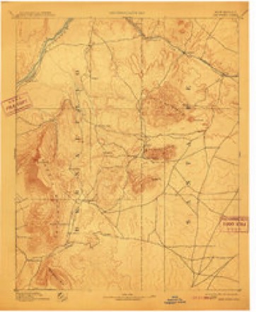
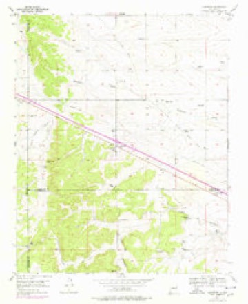
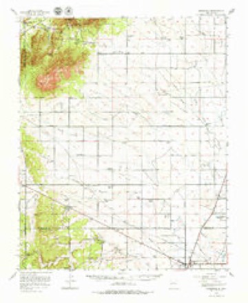
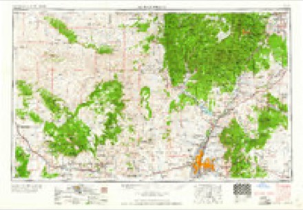
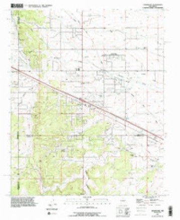
19 topographic sheets cover this place, the earliest surveyed in 1892 and the latest in 1990. It stands in the Santa Fe South census division. It lies in ZIP code area 87015. The Survey maps it on the Edgewood quadrangle.
Topographic sheets covering this place
9 surveys from 19 printed sheetsMatched by testing this settlement's coordinate against the published boundary of every sheet in the United States Geological Survey's historical collection. Each opens the scanned sheet at the Survey.
- 1892 USGS San Pedro quadrangle1:125000, 5 printings
- 1954 USGS Edgewood quadrangle1:24000, 3 printings
- 1956 USGS Edgewood quadrangle1:62500, 3 printings
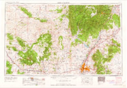
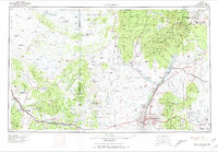
- 1958 USGS Albuquerque quadrangle1:250000
- 1962 USGS Albuquerque quadrangle1:250000
- 1963 USGS Albuquerque quadrangle1:250000, 3 printings
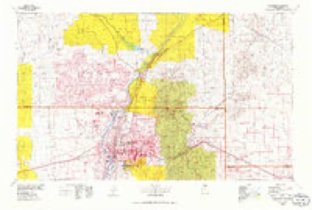
- 1978 USGS Albuquerque quadrangle1:100000
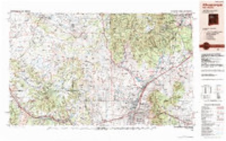
- 1983 USGS Albuquerque quadrangle1:250000
- 1990 USGS Edgewood quadrangle1:24000
Fires near this place
113 since 1992Regional context, not property-specific evidence. The federal wildfire occurrence database lists 113 fires within 5 miles of Edgewood between 1992 and 2020, burning about 2,270 acres in total. 7 started naturally. 2 were recorded as arson. Distance is straight-line from the map coordinates, so a fire counted here may appear on a neighbouring settlement's page as well.
| Reported cause | Fires |
|---|---|
| Missing data/not specified/undetermined | 74 |
| Debris and open burning | 8 |
| Equipment and vehicle use | 7 |
| Natural | 7 |
| Misuse of fire by a minor | 6 |
| Fireworks | 5 |
| Recreation and ceremony | 2 |
| Arson/incendiarism | 2 |
| Firearms and explosives use | 1 |
| Smoking | 1 |
The most recent of them, most recent first, with the day each was reported and the service that recorded it.
| Date | Cause | Size | Reported by | Name on the report |
|---|---|---|---|---|
| 7 September 2007 | Missing data/not specified/undetermined | under an acre | New Mexico State Forestry Division | not named |
| 6 September 2006 | Natural | under an acre | New Mexico State Forestry Division | not named |
| 27 September 2007 | Missing data/not specified/undetermined | under an acre | New Mexico State Forestry Division | not named |
| 25 September 1993 | Missing data/not specified/undetermined | 10 acres | New Mexico State Forestry Division | BRONCO |
| 16 September 2007 | Missing data/not specified/undetermined | under an acre | New Mexico State Forestry Division | not named |
| 8 August 2020 | Missing data/not specified/undetermined | under an acre | Bernalillo District | 21-60520186X |
| 31 August 2004 | Natural | under an acre | Northern Pueblos Agency | TOTAVI |
| 25 August 2002 | Natural | under an acre | New Mexico State Forestry Division | RIDGEWOOD |
Settlements close enough to share some of these fires:
Mines and quarries near this place
10 within 5 milesRegional context, not property-specific evidence. The federal mineral resources record lists 10 workings within 5 miles of Edgewood: 4 occurrences, 4 unknowns, 2 producers. 2 still produce. What was taken out: Sand and Gravel, Construction, Barium-Barite, Fluorine-Fluorite, Barium-Barite, Fluorine-Fluorite. Distance is straight-line from the map coordinates, so a quarry counted here may appear on a neighbouring settlement's page as well.
| Where | Site | Commodity | Status | Recorded |
|---|---|---|---|---|
| La Don Mine | Copper | Unknown | ||
| Materials Pit | Stone, Crushed/Broken | Unknown | ||
| Tina | Barium-Barite, Fluorine-Fluorite | Occurrence | ||
| Schockley | Barium-Barite | Occurrence | ||
| Tina Barite Deposit | Barium-Barite, Fluorine-Fluorite | Occurrence | ||
| Tina Prospect | Barium-Barite, Fluorine-Fluorite | Occurrence | Vein | |
| Bassett Pit | Sand and Gravel, Construction | Producer | Sedimentary | |
| Materials Pit | Sand and Gravel, Construction | Unknown | ||
| Materials Pit | Sand and Gravel, Construction | Unknown | ||
| Sun and Soil Inc. Pit | Sand and Gravel, Construction | Producer | Sedimentary |
Storms near this place
39 since 1999Regional context, not property-specific evidence. The National Weather Service names Edgewood in 39 storm reports between 1999 and 2025: 18 hail, 10 flash flood, 6 thunderstorm wind, 2 dust devil. The reports record 2 injuries. Each account below is quoted exactly as the forecast office filed it, from the NOAA Storm Events Database, and each date opens the federal record of that event.
| When | Event | Place named | Harm | What the report says |
|---|---|---|---|---|
| July 2015 | Tornado (EF0) | Edgewood | 1 hurt, $100,000 | A 30' x 20' metal hay barn was tossed a quarter mile and crashed into a nearby home. Flying glass injured a woman in the home. Several folks reported a brief tornado on the ground. |
| July 2005 | Thunderstorm Wind | Edgewood | 1 hurt | Strong outflow winds from distant thunderstorms swept into south central Santa Fe County. Several utility trailers and one larger recreational vehicle were over turned at a moto-cross park east of Edgewood. One injury was reported (details not available). |
| August 2017 | Thunderstorm Wind | Edgewood | $75,000 | Outflow winds from a wet microburst north of Edgewood downed about a dozen power poles. An extended power outage impacted at least 6,300 customers. |
| July 2022 | Flash Flood | Edgewood | $20,000 | A trained spotter near Edgewood reported that their home was inundated with water from flash flooding. Damages are estimated. |
| August 2012 | Flash Flood | Edgewood | $20,000 | Serious flooding in at least one home was reported on the western edge of Edgewood, approximately one miles south of Route 66. |
| April 2003 | Dust Devil | Edgewood | $20,000 | A large dust devil swept out of an open field and damaged the roof and side wall of grocery store in Edgewood. |
| June 2024 | Thunderstorm Wind | Edgewood | $5,000 | Power lines down in Edgewood along Interstate 40 due to strong straight line winds from a severe thunderstorm. |
| September 2013 | Flash Flood | Edgewood | $5,000 | Intersection of Dinkle Road and Sunset Boulevard washed out. |
| August 2012 | Flash Flood | Edgewood | $5,000 | Hwy 344 just north of Frost Rd was under 3-4 feet of fast-moving water. At least one vehicle was trapped that required local fire department assistance. |
| May 2025 | Hail | Edgewood | - | Quarter size hail north of Edgewood. |
| May 2025 | Hail | Edgewood | - | Quarter size hail near Edgewood, NM. |
| June 2025 | Flash Flood | Edgewood | - | Flood waters flowing over the roadway from nearby arroyo along Quail Trail near Maple Road. |
| July 2025 | Hail | Edgewood | - | A spotter in Edgewood observed quarter to half dollar size hail from a severe thunderstorm. |
| June 2024 | Hail | Edgewood | - | Trained spotters reported quarter to ping pong ball size near Cedar Grove and along Frost Road and State Road 344 from a severe thunderstorm. |
| October 2022 | Funnel Cloud | Edgewood | - | A Forest Service employee spotted a funnel cloud near Edgewood around 445pm MDT on October 4, 2022. |
| August 2022 | Flash Flood | Edgewood | - | Heavy rain caused 4 to 6 inches of fast moving water to impact the intersection of Frost and Broken Arrow near Sedillo. No damages were reported. |
| July 2021 | Thunderstorm Wind | Edgewood | - | A public weather station near Sandia Airpark measured a 63 mph wind gust from a severe thunderstorm tracking southward through the area. |
| July 2020 | Thunderstorm Wind | Edgewood | - | A trained spotter north of Edgewood reported downed tree branches across State Road 344 along with minor street flooding. |
| June 2019 | Hail | Edgewood | - | Hail up to the size of quarters near Edgewood. |
| August 2018 | Hail | Edgewood | - | Hail up to the size of nickels fell for 30 minutes at spotter location in Edgewood. Hail accumulated in drifts up to two feet on sides of buildings on parts of the property. |
| August 2018 | Hail | Edgewood | - | Hail up to the size of quarters near Edgewood. |
| June 2017 | Hail | Edgewood | - | Quarter to ping pong ball size hail near State Road 344 and South Mountain Road. |
| July 2014 | Hail | Edgewood | - | Quarter size hail and 1.2 inches of rain in 20 minutes. |
| September 2013 | Flash Flood | Edgewood | - | Flood waters estimated 6 to 7 feet deep in Bachelor Draw that crosses Dinkle Road about 3 miles west of NM 344. A couple vehicles were stranded. |
| October 2013 | Hail | Edgewood | - | Interstate 40 near mile marker 189. |
| August 2013 | Flash Flood | Edgewood | - | Flooded low water crossings resulting in road closures near intersection of NM 344 and NM 472. |
| August 2012 | Thunderstorm Wind | Edgewood | - | A seven inch diameter tree limb knocked down 6 miles north of Edgewood. |
| August 2012 | Funnel Cloud | Edgewood | - | A classic funnel cloud as seen from near the intersection of Frost Rd and Highway 344 several miles north of Edgewood. |
| August 2012 | Hail | Edgewood | - | Golfball sized hail stones were reported 6 miles north of Edgewood. |
| June 2006 | Hail | Edgewood | - | Storm produced swath of penny to half dollar size hail near Edgewood, |
| June 2005 | Dust Devil | Edgewood | - | A large dust devil tossed lawn furniture about 200 feet. |
| September 2015 | Hail | Edgewood | - | no account filed |
| June 2007 | Hail | Edgewood | - | no account filed |
| August 2005 | Flash Flood | Edgewood | - | no account filed |
| September 2005 | Hail | Edgewood | - | no account filed |
| August 2004 | Hail | Edgewood | - | no account filed |
| July 2002 | Hail | Edgewood | - | no account filed |
| July 2002 | Hail | Edgewood | - | no account filed |
| August 1999 | Flash Flood | Edgewood | - | no account filed |
Nearest settlements
The eight closest, with where each one stands in the county. Distances are straight-line, computed from the Geographic Names Information System coordinates.
| Map | Place | Distance | Sheets |
|---|---|---|---|
| Thunder Mountain | 2.6 miles | 19 | |
| Cedar Grove | 7.6 miles | 19 | |
| Hyer | 11.2 miles | 16 | |
| San Pedro | 12.3 miles | 19 | |
| Stanley | 12.8 miles | 15 | |
| Agua (historical) | 13.0 miles | 19 | |
| Golden | 14.2 miles | 18 | |
| Ortiz (historical) | 19.1 miles | 18 |
Provenance
This settlement is recorded in the Geographic Names Information System as feature 902818. The sheet list is computed by point-in-boundary test against the United States Geological Survey's historical topographic inventory. Both are works of the United States government and carry no copyright under 17 U.S.C. 105.
Wildfire. Short, Karen C. 2022. Spatial wildfire occurrence data for the United States, 1992-2020 [FPA_FOD_20221014]. 6th Edition. Fort Collins, CO: Forest Service Research Data Archive. https://doi.org/10.2737/RDS-2013-0009.6 Collected with United States Government funding and usable without additional permissions or fees.
Mines and quarries. USGS Mineral Resources Data System (MRDS) https://mrdata.usgs.gov/mrds/ A work of the United States government, no copyright under 17 U.S.C. 105.
Storms. NOAA National Centers for Environmental Information, Storm Events Database https://www.ncei.noaa.gov/stormevents/ A work of the United States government, no copyright under 17 U.S.C. 105. Narratives are quoted verbatim from the National Weather Service report and are not edited or summarised.