 Block
Encinoso, New Mexico
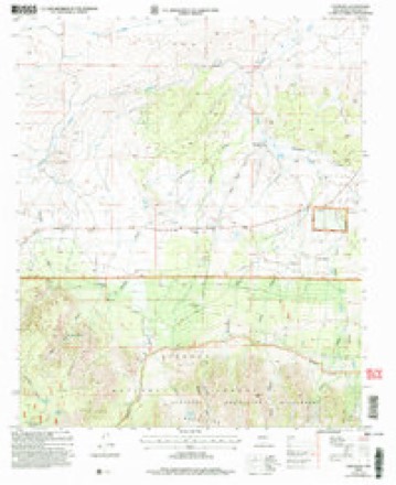
13 topographic sheets cover this place, the earliest surveyed in 1935 and the latest in 2004. It stands in the Capitan census division. It lies in ZIP code area 88316. It lies near Gum Spring Canyon. The Survey maps it on the Encinoso quadrangle.
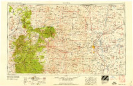
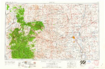
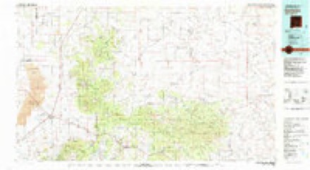
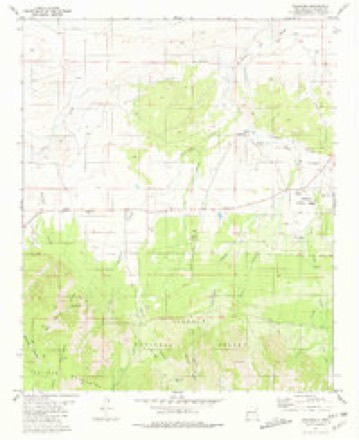
Topographic sheets covering this place
9 surveys from 13 printed sheetsMatched by testing this settlement's coordinate against the published boundary of every sheet in the United States Geological Survey's historical collection. Each opens the scanned sheet at the Survey.
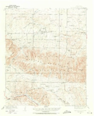
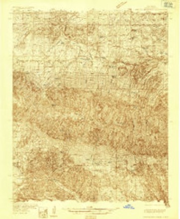
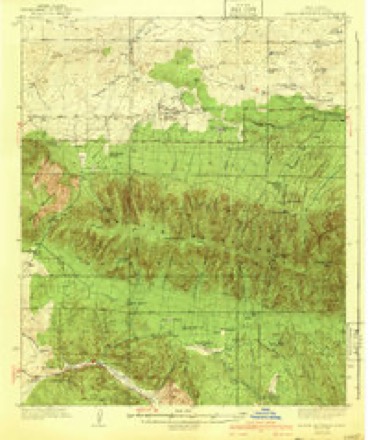
- 1935 USGS Capitan Mountains quadrangle1:62500
- 1935 USGS Capitan Mountains quadrangle1:48000
- 1940 USGS Capitan Mountains quadrangle1:62500, 2 printings
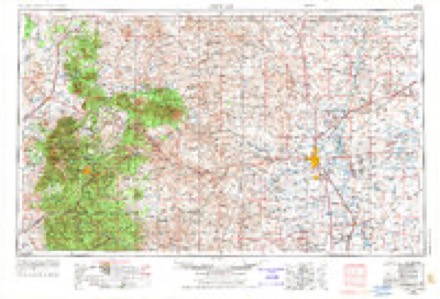
- 1955 USGS Roswell quadrangle1:250000, 3 printings
- 1958 USGS Roswell quadrangle1:250000
- 1962 USGS Roswell quadrangle1:250000
- 1981 USGS Carrizozo quadrangle1:100000, 2 printings
- 1981 USGS Encinoso quadrangle1:24000
- 2004 USGS Encinoso quadrangle1:24000
Fires near this place
34 since 1992Regional context, not property-specific evidence. The federal wildfire occurrence database lists 34 fires within 5 miles of Encinoso between 1992 and 2019, burning about 3,682 acres in total. 23 started naturally. None was recorded as arson. Distance is straight-line from the map coordinates, so a fire counted here may appear on a neighbouring settlement's page as well.
| Reported cause | Fires |
|---|---|
| Natural | 23 |
| Missing data/not specified/undetermined | 6 |
| Equipment and vehicle use | 2 |
| Power generation/transmission/distribution | 1 |
| Smoking | 1 |
| Debris and open burning | 1 |
The most recent of them, most recent first, with the day each was reported and the service that recorded it.
| Date | Cause | Size | Reported by | Name on the report |
|---|---|---|---|---|
| 20 September 2019 | Natural | under an acre | Lincoln National Forest | GUM SPRINGS |
| 15 September 2001 | Natural | under an acre | Lincoln National Forest | MINCHLEY |
| 12 September 1994 | Natural | under an acre | Lincoln National Forest | not named |
| 29 August 2002 | Natural | under an acre | Lincoln National Forest | WEST |
| 16 August 2011 | Natural | 3.0 acres | New Mexico State Forestry Division | ELK |
| 28 July 2011 | Natural | under an acre | Lincoln National Forest | GAP |
| 28 July 2011 | Natural | 2.1 acres | New Mexico State Forestry Division | BIG BUCKET |
| 27 July 1994 | Missing data/not specified/undetermined | 1,350 acres | New Mexico State Forestry Division | STONE |
Mines and quarries near this place
10 of 11 shownRegional context, not property-specific evidence. The federal mineral resources record lists 11 workings within 5 miles of Encinoso: 7 occurrences, 3 prospects, 1 unknown. None of them still produces. What was taken out: Thorium, Uranium, Iron, Sand and Gravel, Construction. Distance is straight-line from the map coordinates, so a quarry counted here may appear on a neighbouring settlement's page as well.
| Where | Site | Commodity | Status | Recorded |
|---|---|---|---|---|
| Fuzzy Nut 1-18 Claims | Thorium, REE | Occurrence | ||
| Hopeful Claims | Uranium, Fluorine-Fluorite | Occurrence | Fluorite | |
| Koprian Springs | Uranium, Thorium | Occurrence | Allanite | |
| Materials Pit | Sand and Gravel, Construction | Unknown | ||
| Big Ben | Iron | Prospect | ||
| Whettige | Iron | Prospect | ||
| Capitan Uranium Co Claims | Thorium, Uranium | Prospect | ||
| Capitan Uranium Co. Prospect | Uranium, Thorium | Occurrence | ||
| Mccory Prospects | Thorium | Occurrence | 1952 | |
| Mccrory Prospect Sec 31 | Thorium | Occurrence |
Storms near this place
5 since 2009Regional context, not property-specific evidence. The National Weather Service names Encinoso in 5 storm reports between 2009 and 2021: 1 lightning, 1 hail, 1 tornado, 1 thunderstorm wind. No death or injury is recorded in these reports. Each account below is quoted exactly as the forecast office filed it, from the NOAA Storm Events Database, and each date opens the federal record of that event.
| When | Event | Place named | Harm | What the report says |
|---|---|---|---|---|
| June 2014 | Tornado (EF1) | Encinoso | $100,000 | Supercell thunderstorm near Encinoso spawned a tornado along Highway 246 at Richardson Canyon Road. The tornado traveled east-southeast down Richardson Canyon Road, snapping off the tops of trees and breaking numerous branches of Ponderosa pine. The tornado intensified as it approached 2 homes. A single wide mobile home from the 1970s was completely destroyed as the undercarriage was moved about 20 feet and all walls separated and tossed. A double wide mobile home was tossed into a barn and destroyed. Portions of the roof were blown 250 yards away. At least two other homes as well as a barn and shed sustained damage. |
| May 2009 | Lightning | Encinoso | $25,000 | Three major fires consumed around 44,000 acres of rangeland from May 20th into the 24th. The three fires were located north of Capitan, around Arabela and near Picacho. The most significant of these was the Fresquez 2 fire north of Capitan. It burned around 10,000 acres north of Highway 246/48 and six ranches suffered fire damage to various degrees. Burned pasture/grassland was the main fire damage as no structures were damaged. However, several cattle were killed in the blaze. |
| July 2021 | Flash Flood | Encinoso | $10,000 | Strong thunderstorms near Encinoso produced an estimated 1.5 to 2 inches of rainfall. This resulted in severe flooding along New Mexico State Road 246 which forced the closure of the roadway from mile marker 18 to mile marker 36. Damages are estimated for the washed out roadway. |
| July 2014 | Thunderstorm Wind | Encinoso | - | The CSBF Transwestern Pump recorded a gust to 76 mph from a massive storm moving to the south. |
| August 2013 | Hail | Encinoso | - | Route 246 around mile post 14, half dollar size hail fell from probably 345 to 4PM. |
Nearest settlements
The eight closest, with where each one stands in the county. Distances are straight-line, computed from the Geographic Names Information System coordinates.
| Map | Place | Distance | Sheets |
|---|---|---|---|
| Coalora | 10.1 miles | 15 | |
| Capitan | 10.8 miles | 15 | |
| Reventon | 11.2 miles | 10 | |
| Double Crossing | 11.2 miles | 14 | |
| Baca (historical) | 12.1 miles | 13 | |
| Vera Cruz (historical) | 12.8 miles | 15 | |
| Fort Stanton | 13.3 miles | 9 | |
| Pine Lodge | 13.3 miles | 15 |
Elsewhere
Matched on this settlement's Geographic Names Information System number rather than its name, so it cannot be a different place of the same name in another state.
| Wikidata item Q122595748 | The structured record the population and elevation above come from. Public domain (CC0). |
Provenance
This settlement is recorded in the Geographic Names Information System as feature 906169. The sheet list is computed by point-in-boundary test against the United States Geological Survey's historical topographic inventory. Both are works of the United States government and carry no copyright under 17 U.S.C. 105.
Wildfire. Short, Karen C. 2022. Spatial wildfire occurrence data for the United States, 1992-2020 [FPA_FOD_20221014]. 6th Edition. Fort Collins, CO: Forest Service Research Data Archive. https://doi.org/10.2737/RDS-2013-0009.6 Collected with United States Government funding and usable without additional permissions or fees.
Mines and quarries. USGS Mineral Resources Data System (MRDS) https://mrdata.usgs.gov/mrds/ A work of the United States government, no copyright under 17 U.S.C. 105.
Storms. NOAA National Centers for Environmental Information, Storm Events Database https://www.ncei.noaa.gov/stormevents/ A work of the United States government, no copyright under 17 U.S.C. 105. Narratives are quoted verbatim from the National Weather Service report and are not edited or summarised.