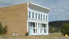
Block
From the record
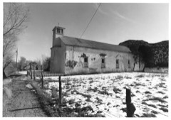
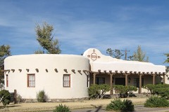
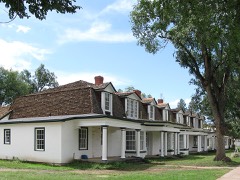
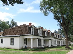
22 National Register listings published here, 1 of them a National Historic Landmark.
Sources: the National Register database, National Park Service
119 topographic sheets and 2 fire insurance atlases across 1 place.
22 National Register listings published here, 1 of them a National Historic Landmark.
Sources: the National Register database, National Park Service
Taken for the Office of War Information and the Farm Security Administration, who photographed the country between 1935 and 1944. Works of United States government photographers, with no known restriction on use. Each opens its catalogue record.

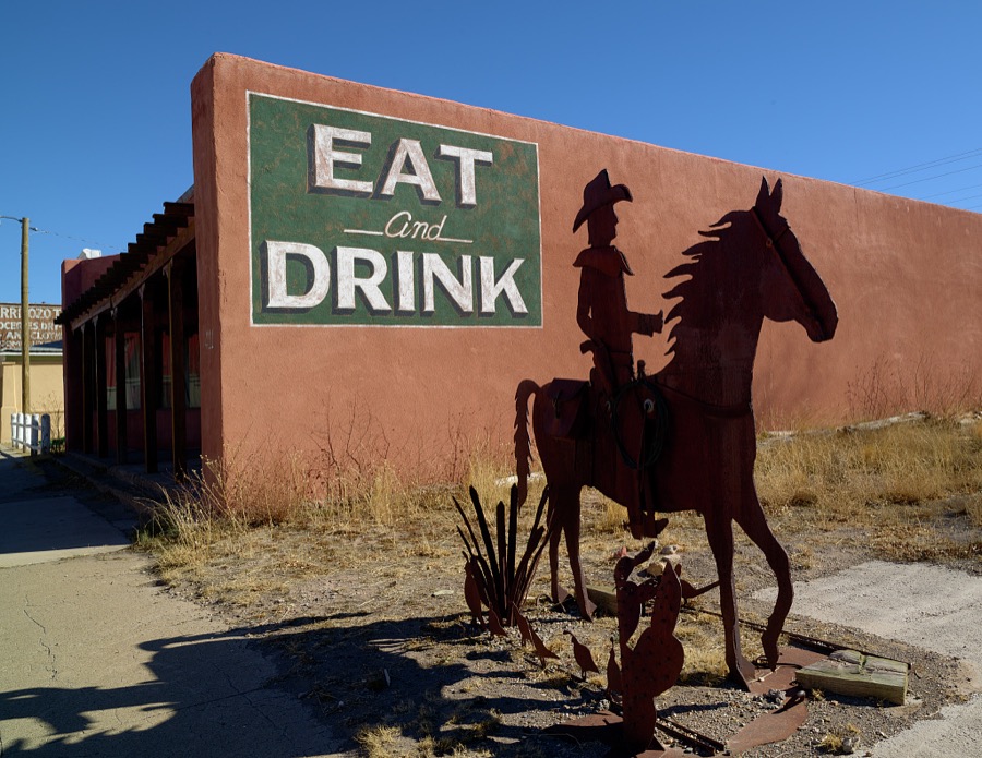
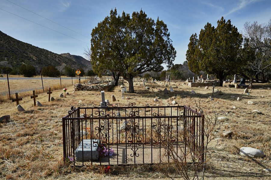
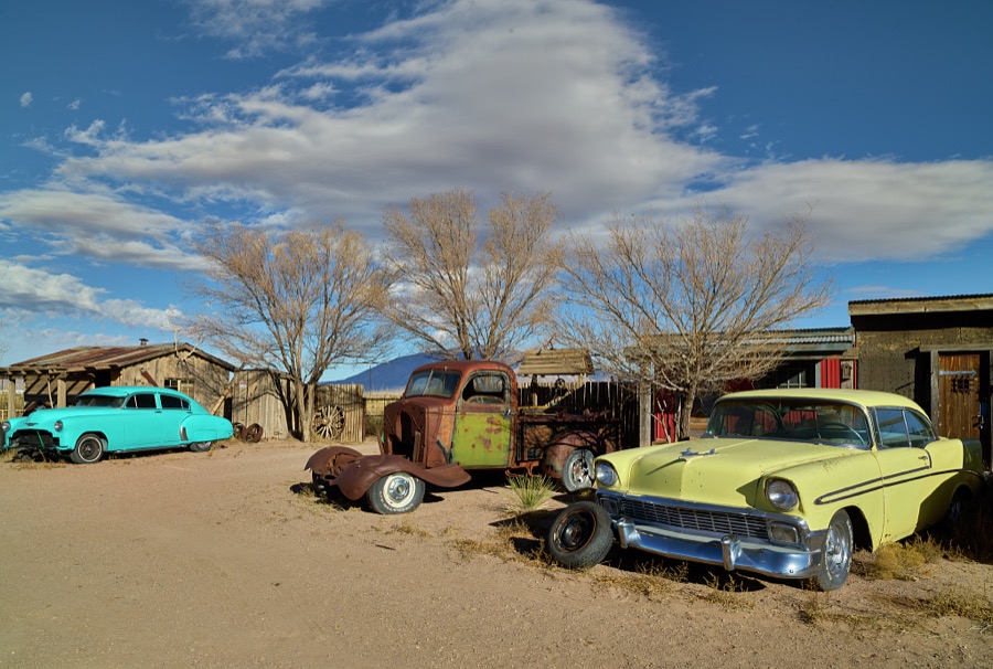
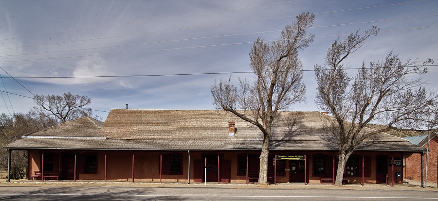
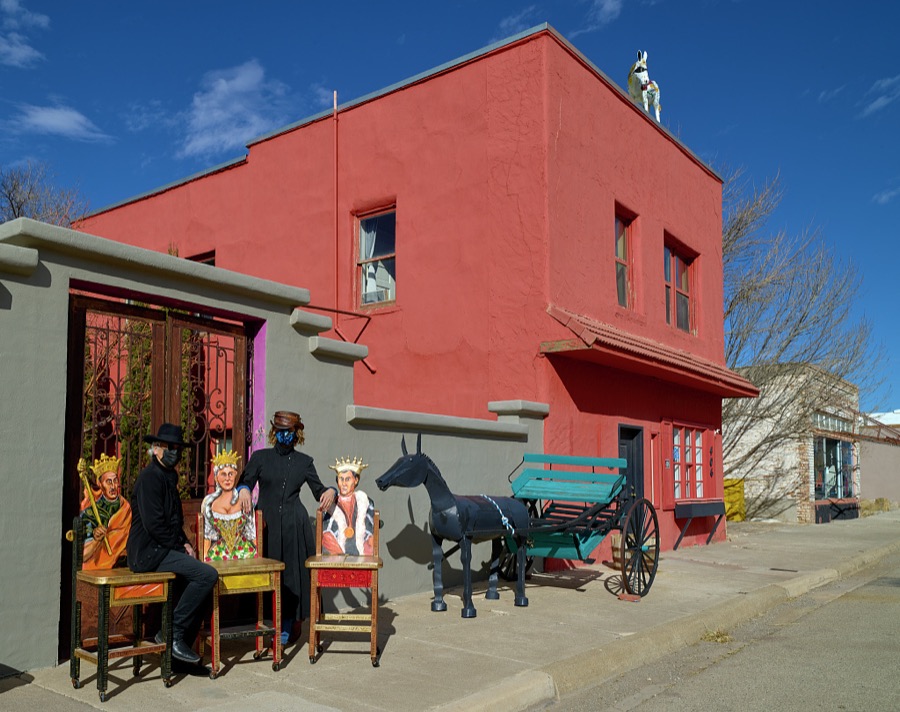
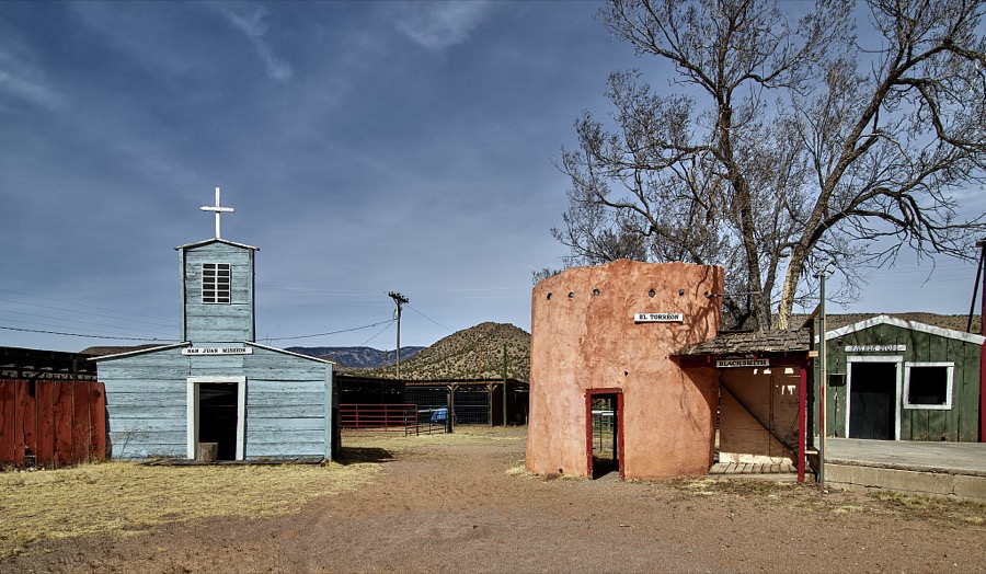
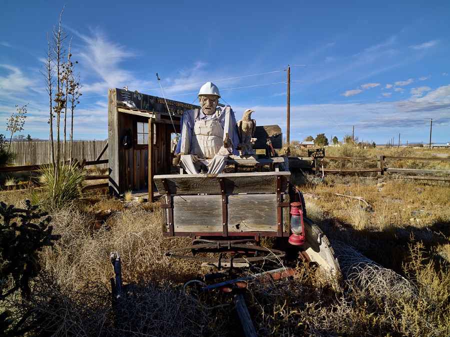
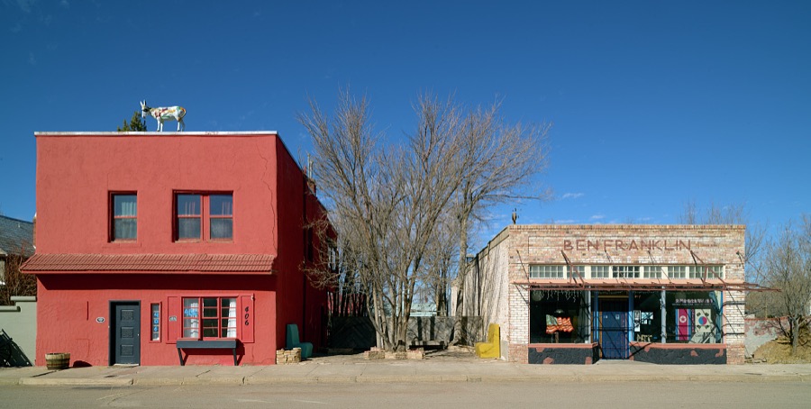
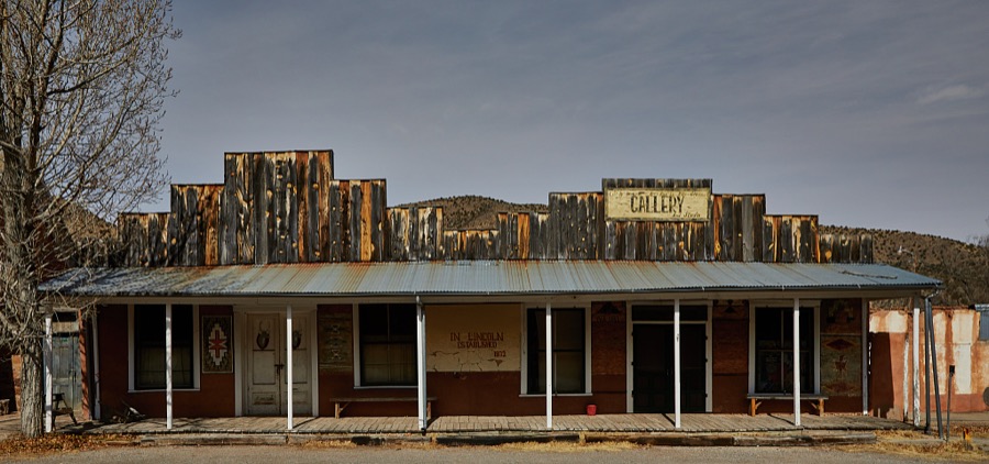

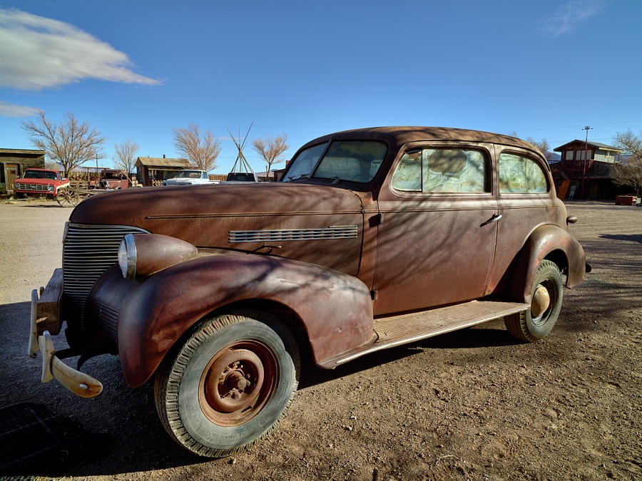
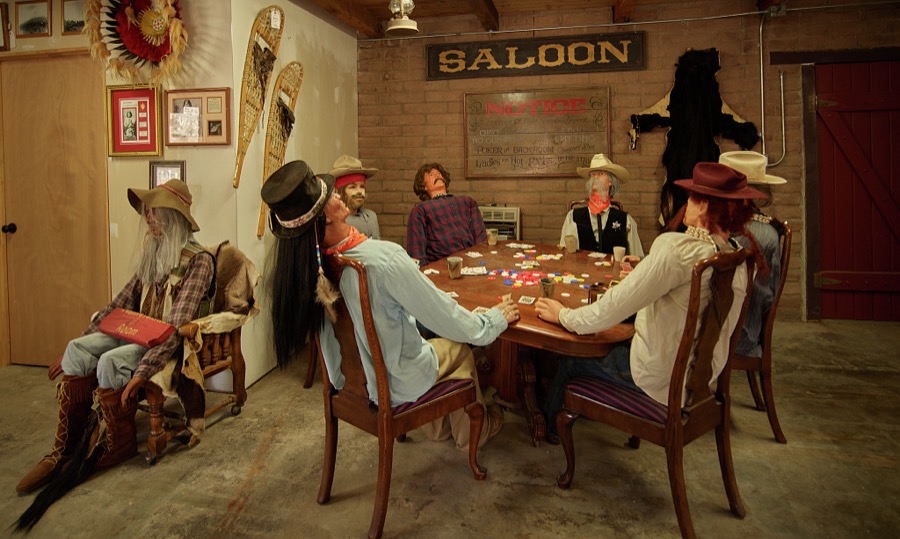
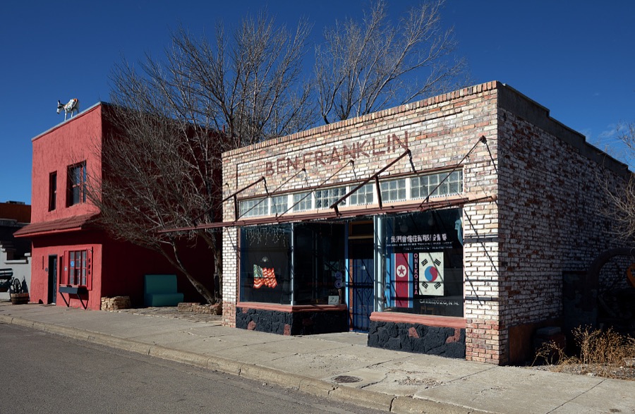
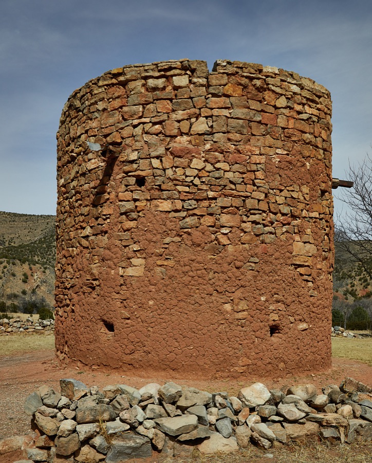
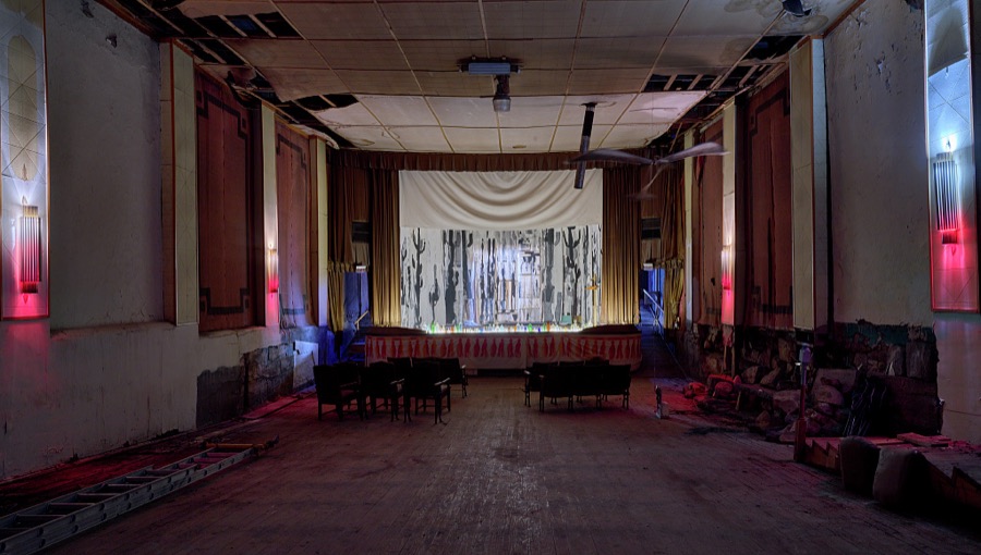
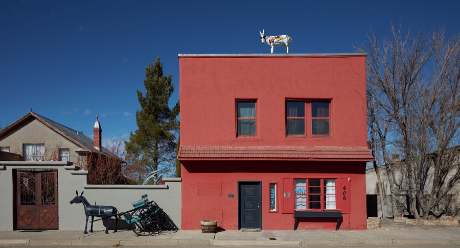
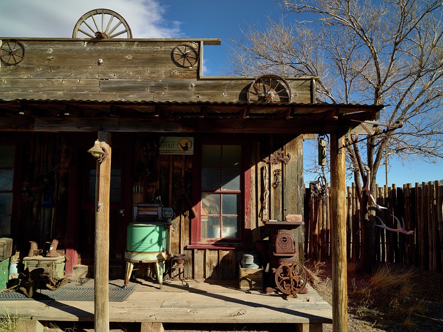
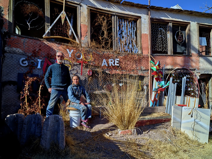
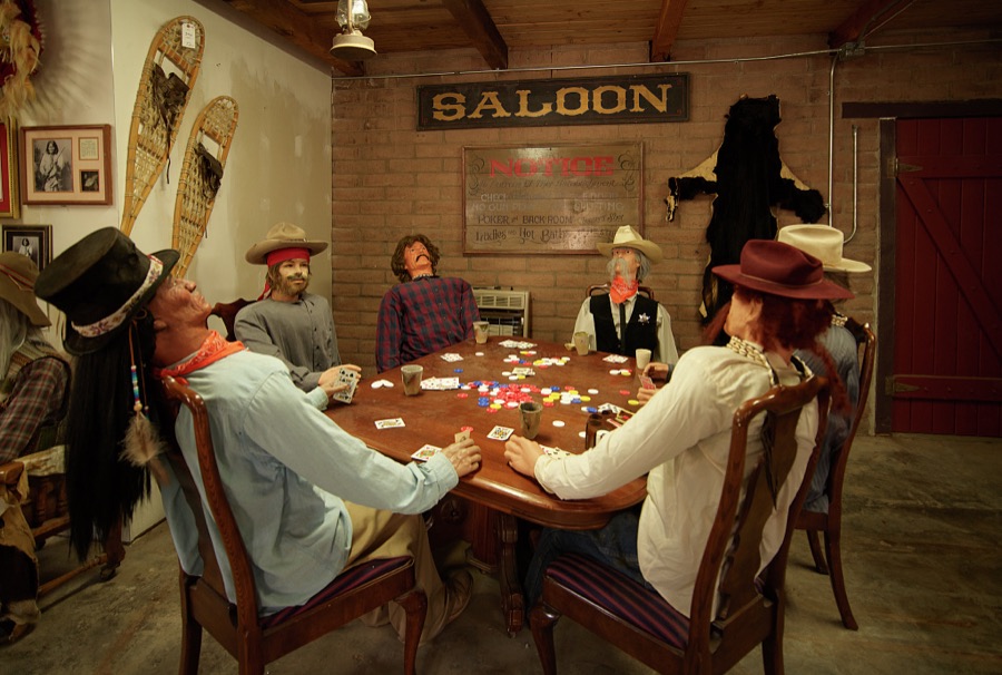
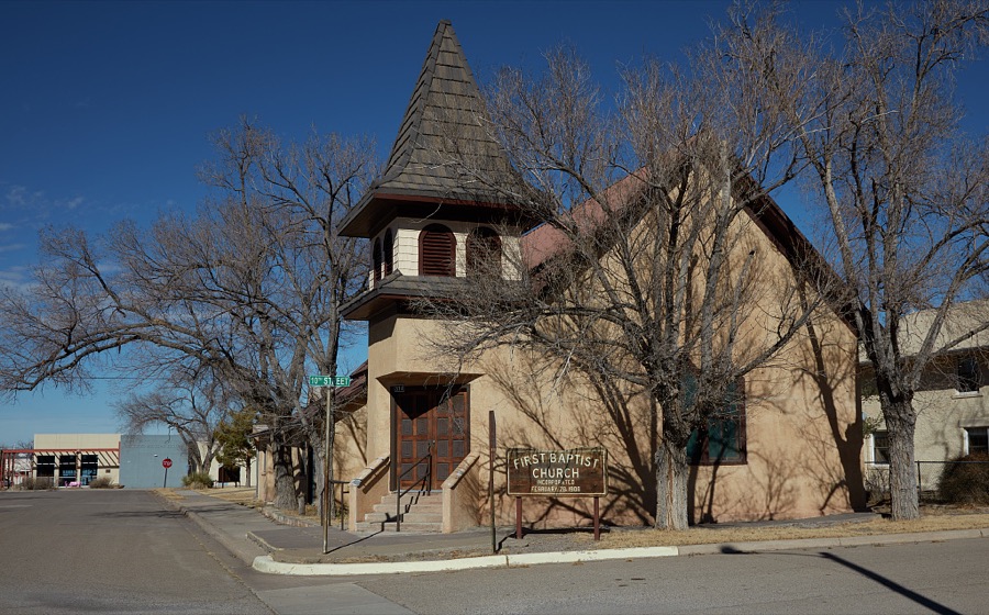
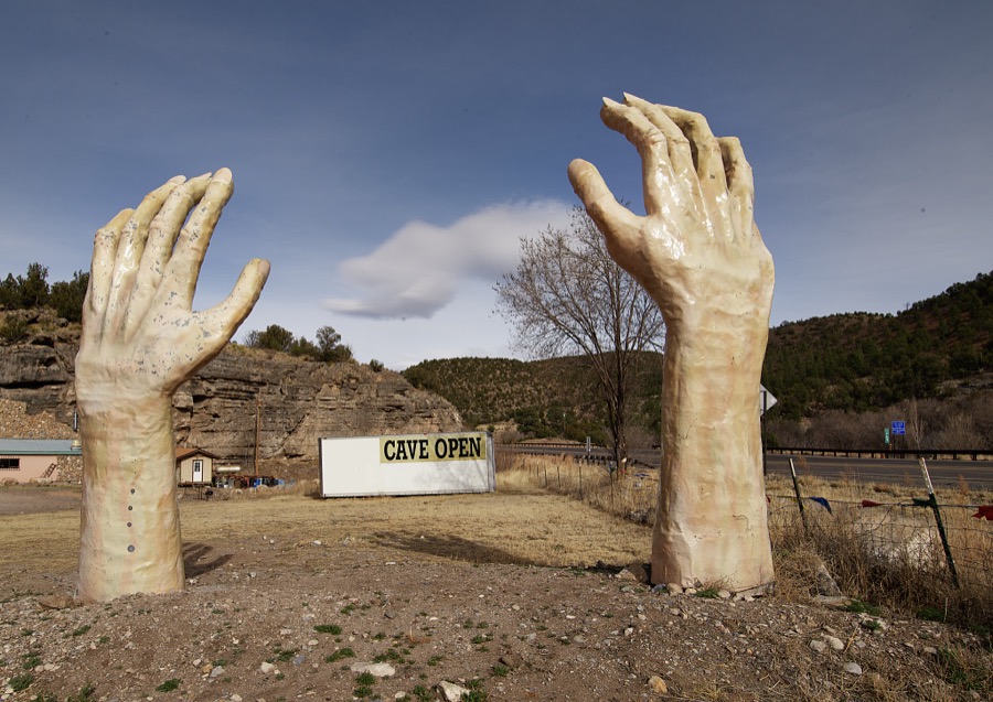
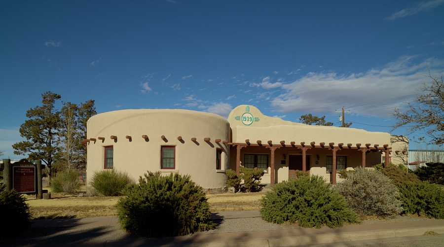


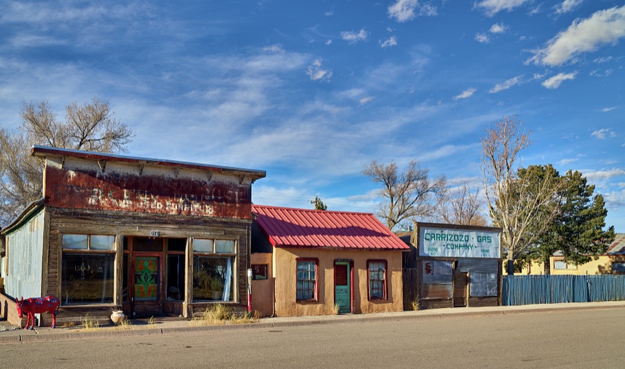
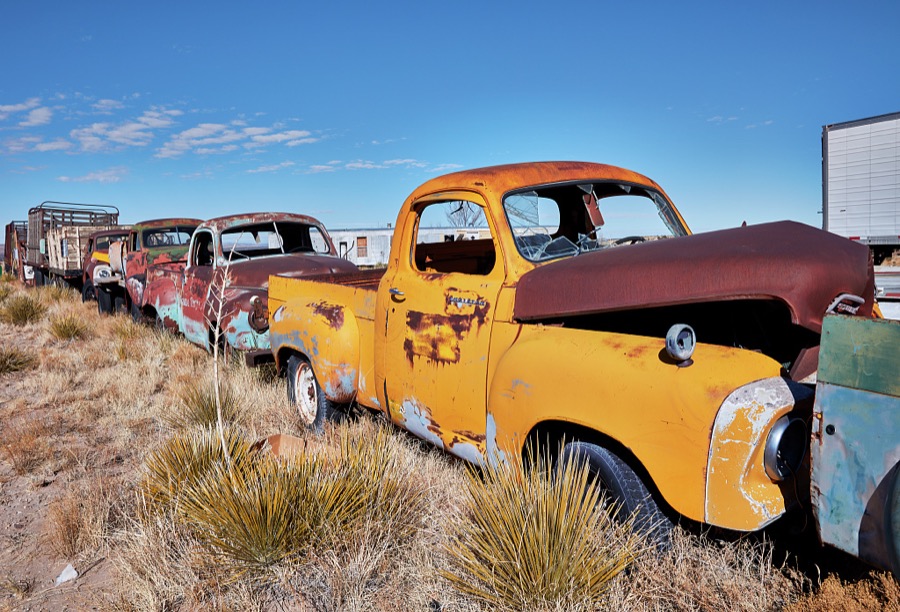
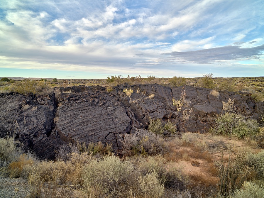

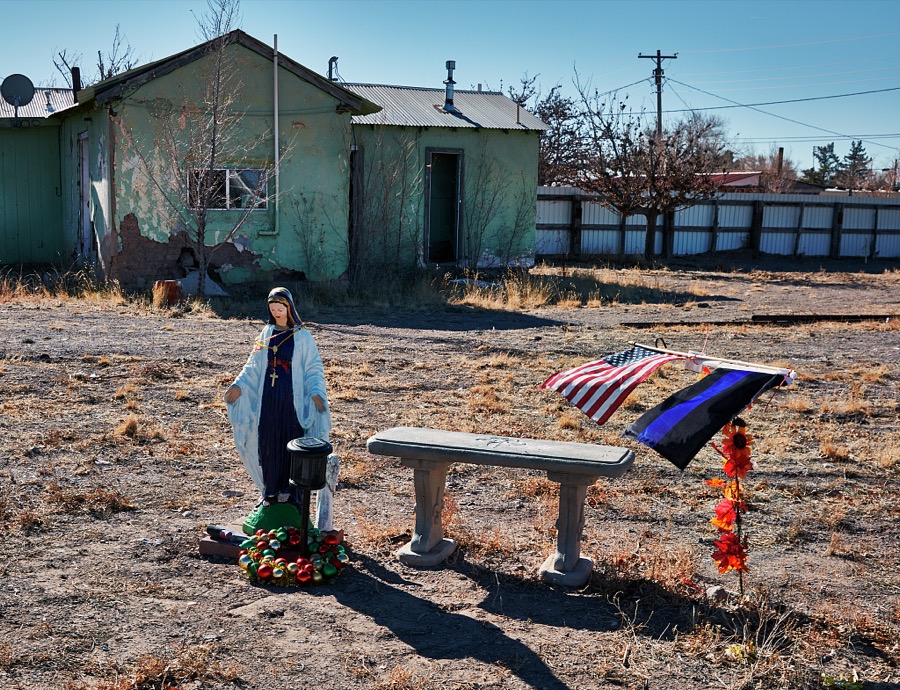
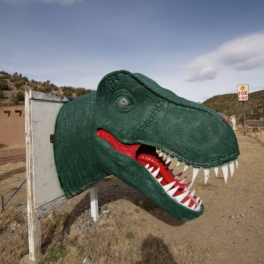
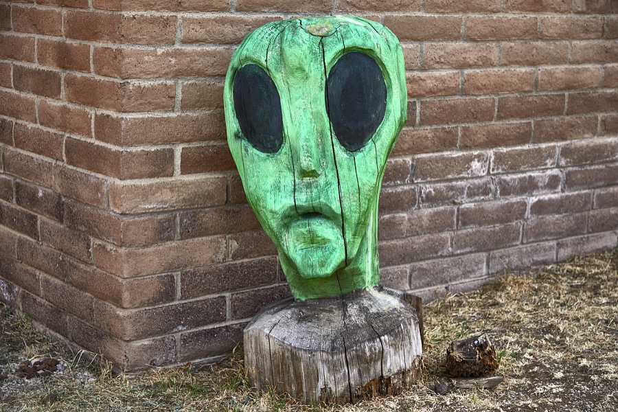
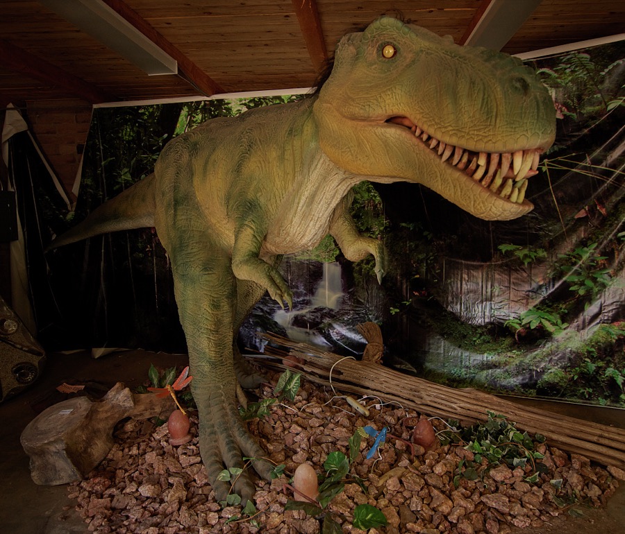
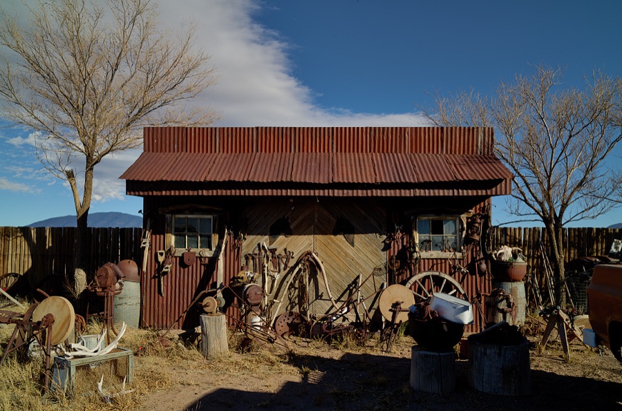
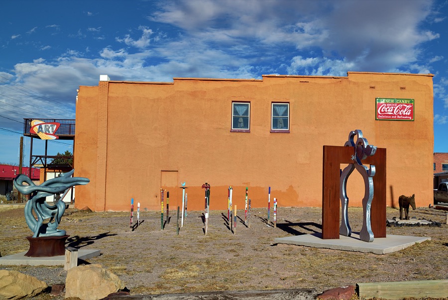
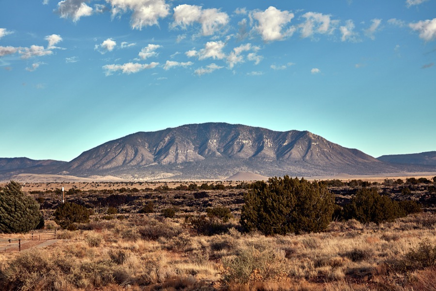
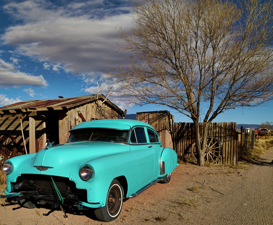
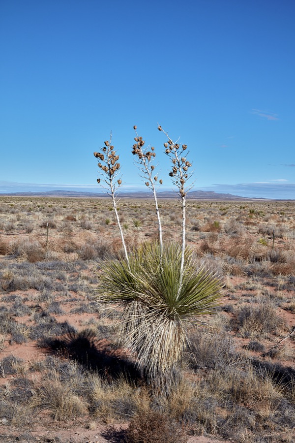
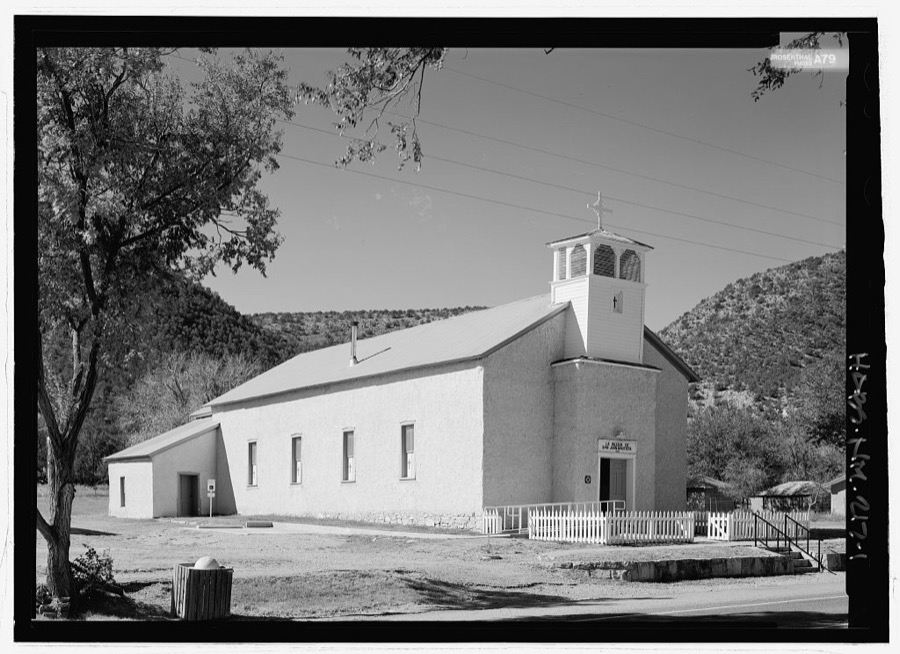
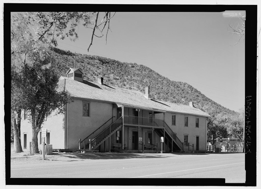
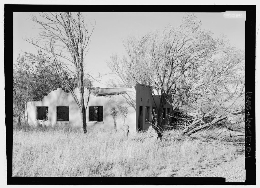
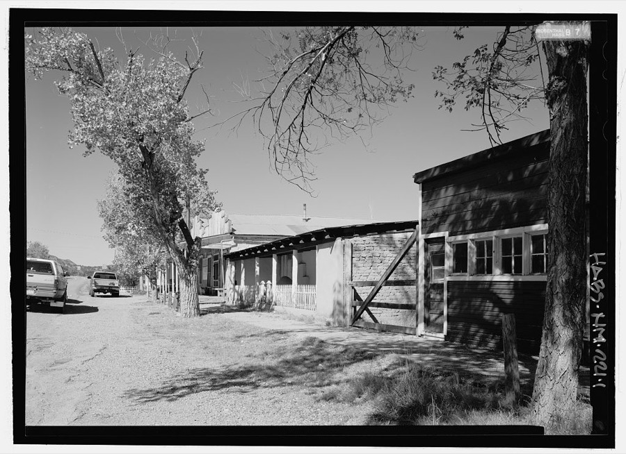
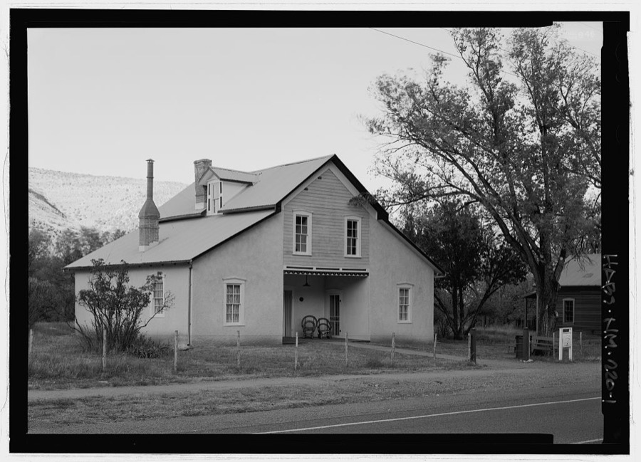
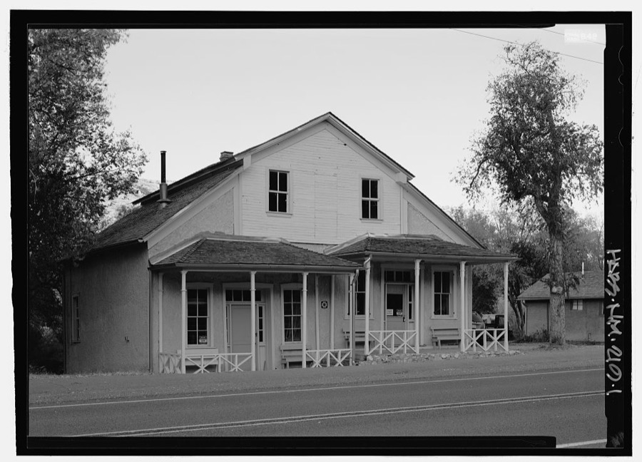
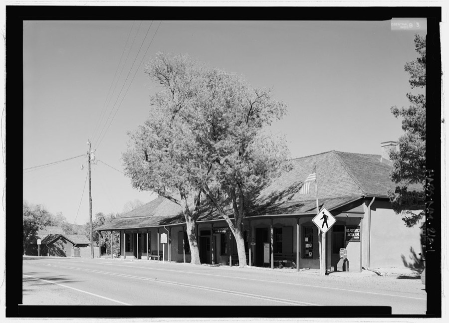
Every property in this county listed on the National Register of Historic Places, with the year it was listed and the federal nomination document.
Sampled issues, machine-read from the Library of Congress scan and published page by page, so every headline and column is searchable text.
Carrizozo, N.M., 1908 to 192?. Machine-read from the Library of Congress scan.
White Oaks, N.M., 189? to 190?. Machine-read from the Library of Congress scan.
White Oaks, Lincoln County, N.M., 1882 to 189?. Machine-read from the Library of Congress scan.
Lincoln, N.M., 1884 to 188?. Machine-read from the Library of Congress scan.
White Oaks, Lincoln County, N.M., 189?. Machine-read from the Library of Congress scan.
White Oaks, Lincoln County, N.M., 188? to 18??. Machine-read from the Library of Congress scan.
Carrizozo, N.M., 1910 to 1945. Machine-read from the Library of Congress scan.
Selected from the Digital Public Library of America's 4 image records catalogued for this county. Every one shown here carries a public-domain status or a licence that permits reuse on a site that carries advertising; non-commercial, share-alike and restricted images are excluded. The selection is spread across the county's towns (at most eight per town), so no single institution's bulk upload crowds out the rest. Each opens the holding library's record, and the complete set at the Digital Public Library of America is one click away.
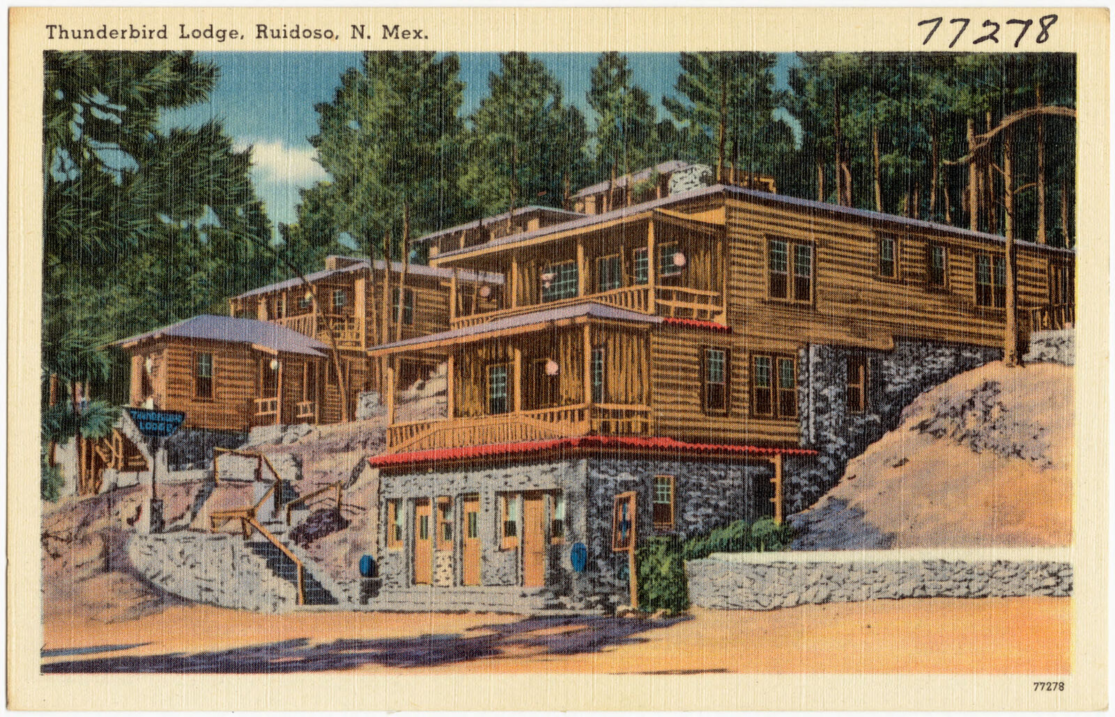
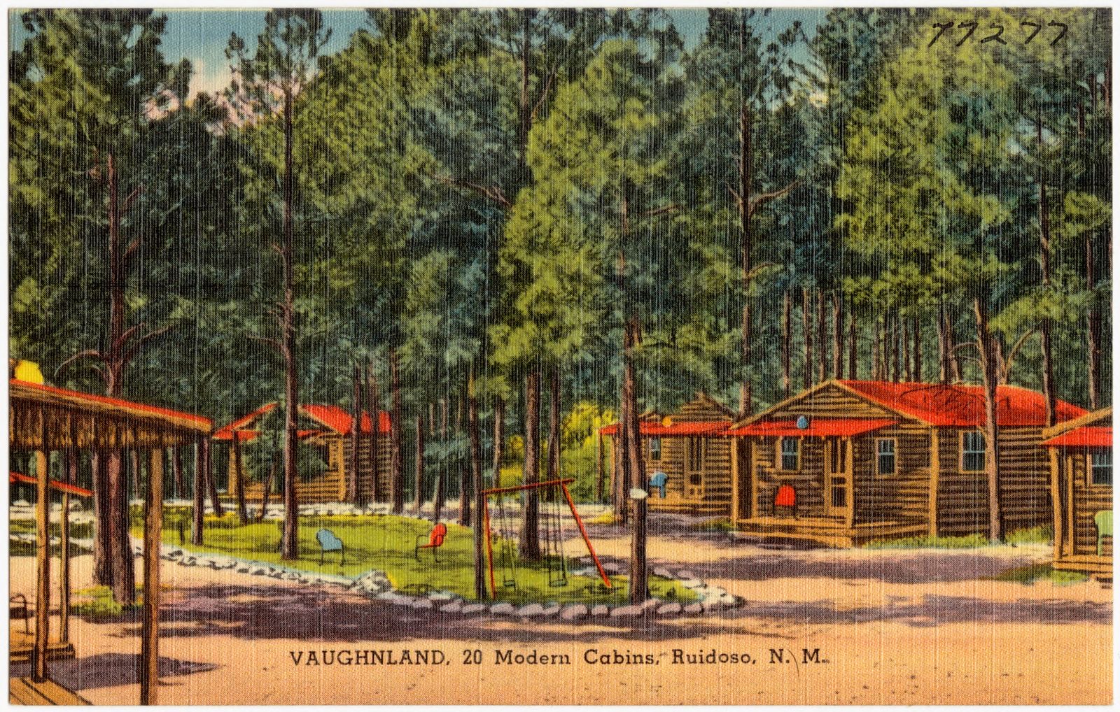
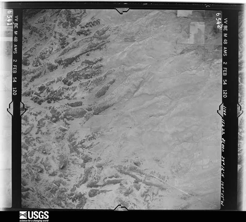
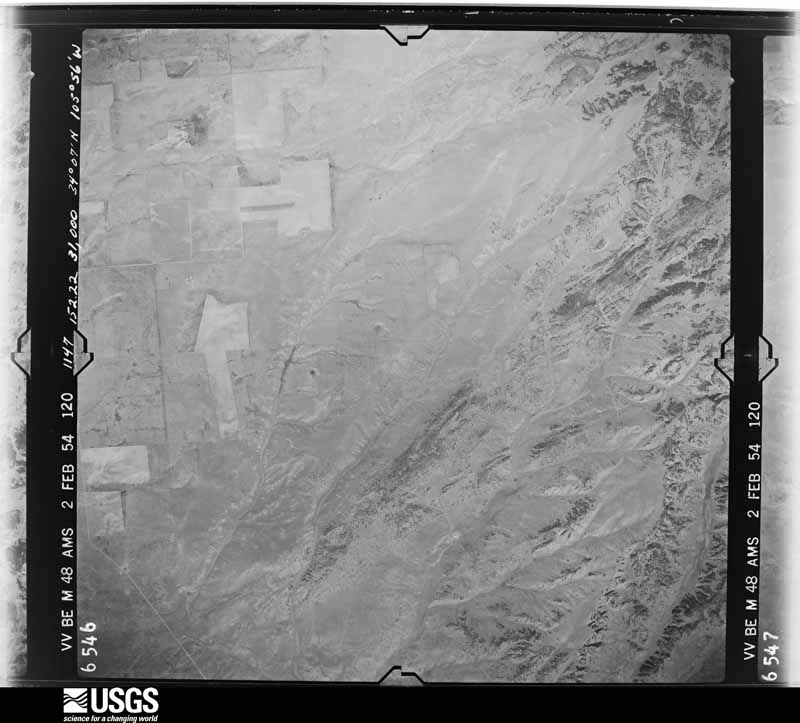
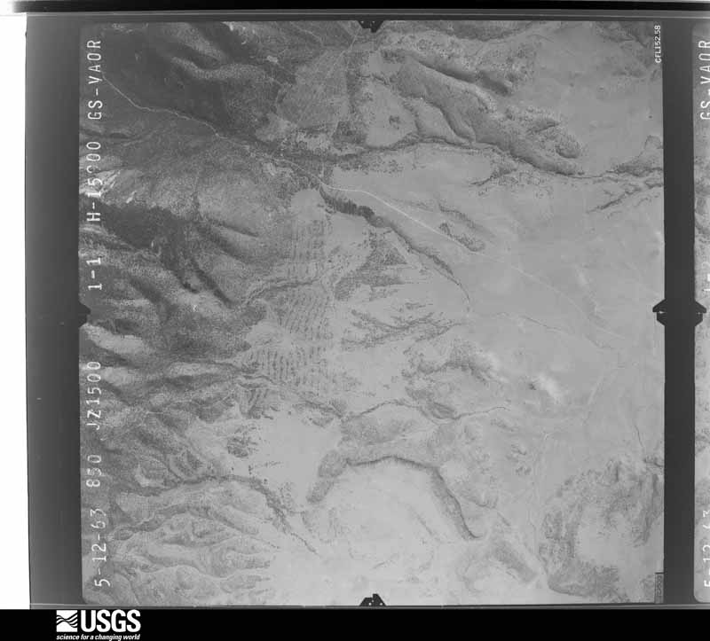
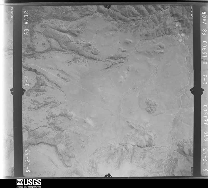
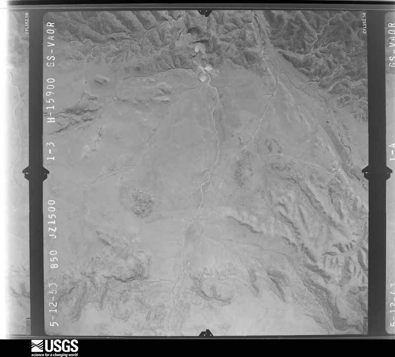
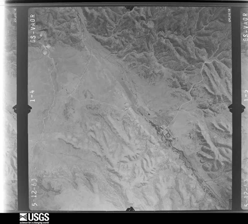
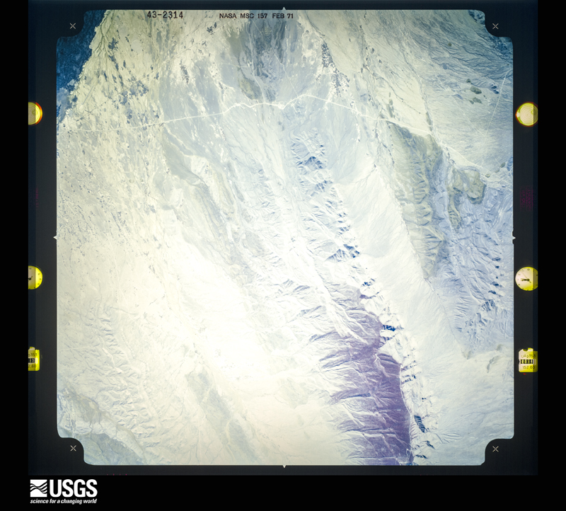
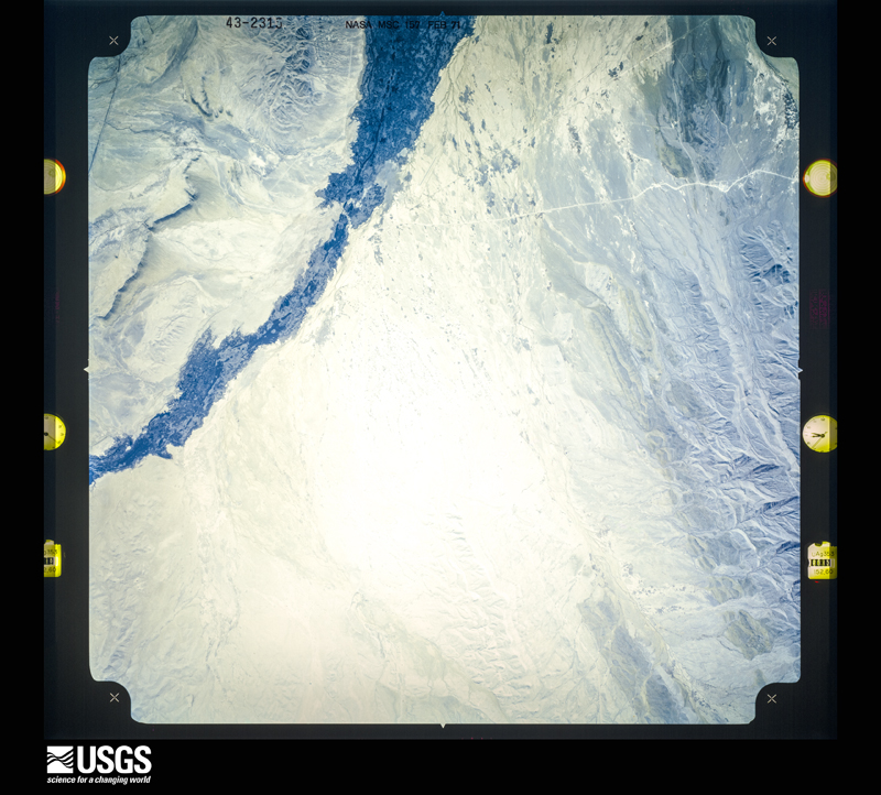
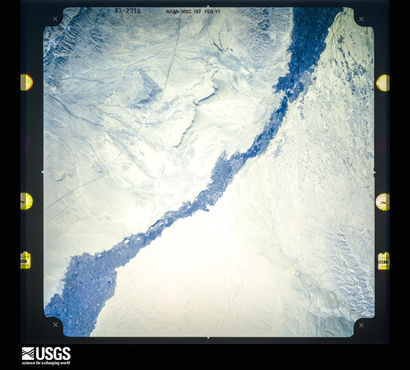
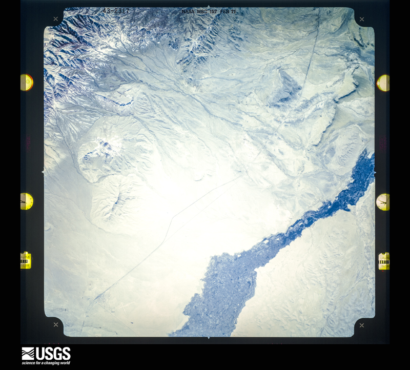
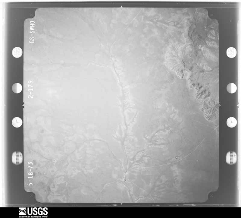
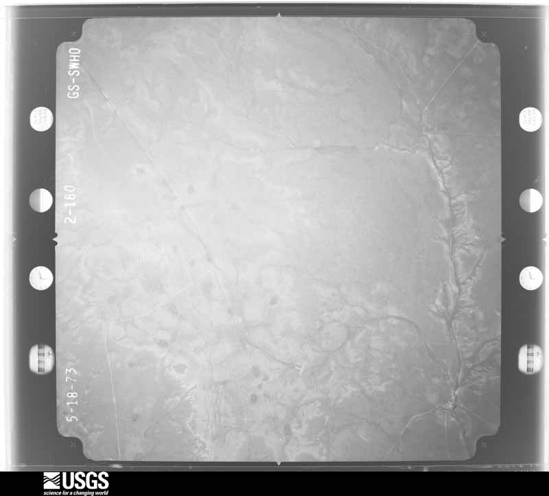
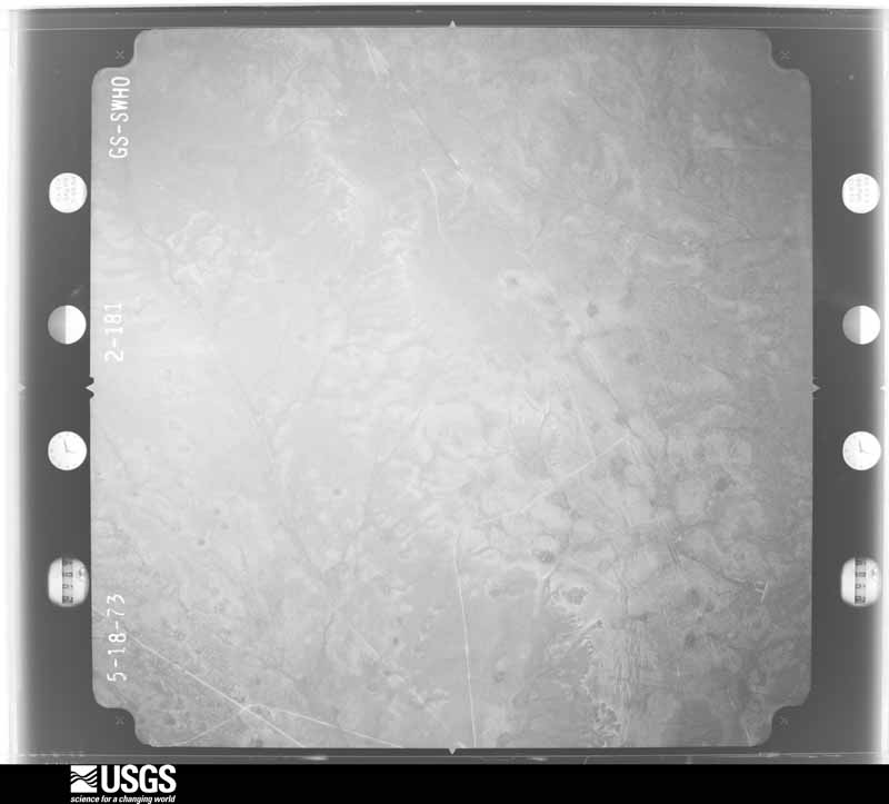
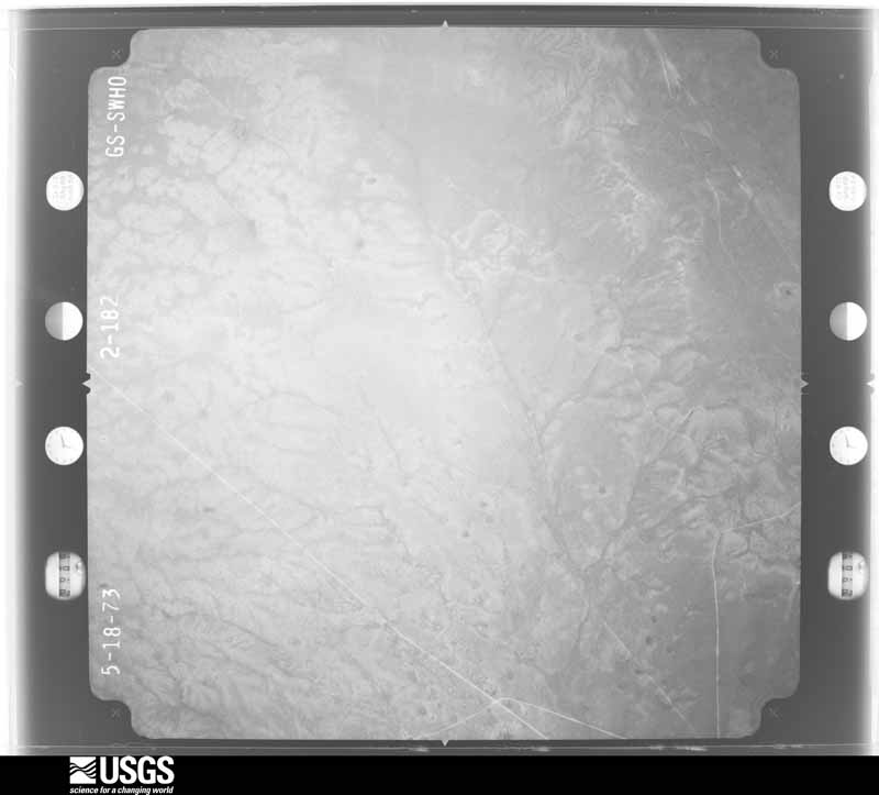
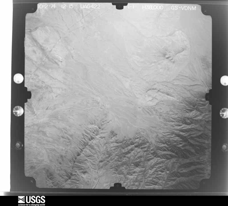
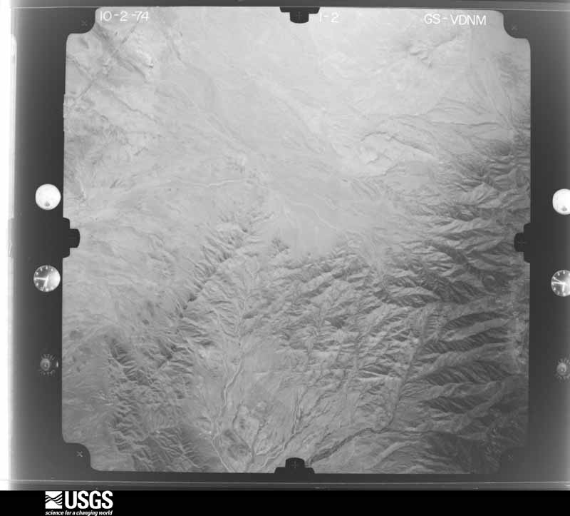
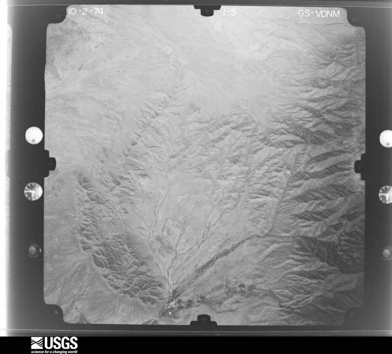
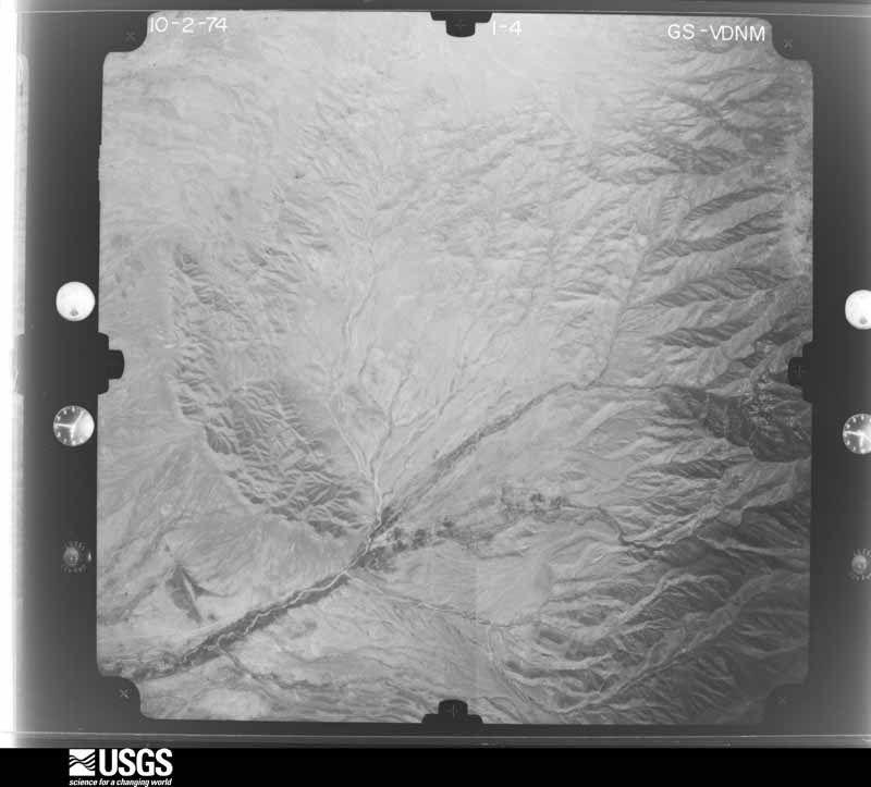
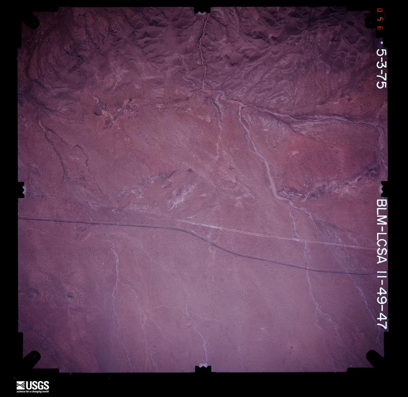
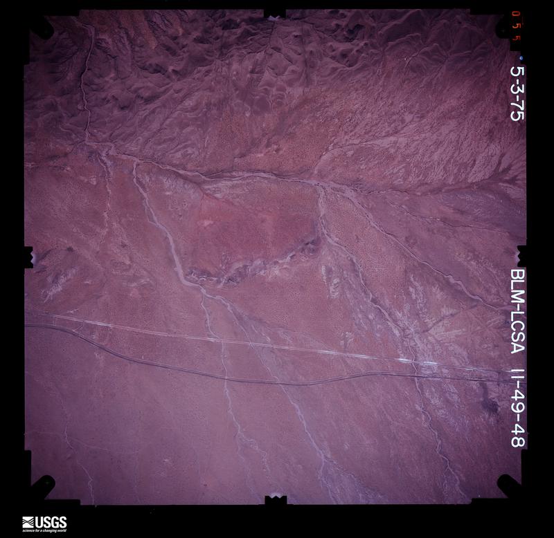
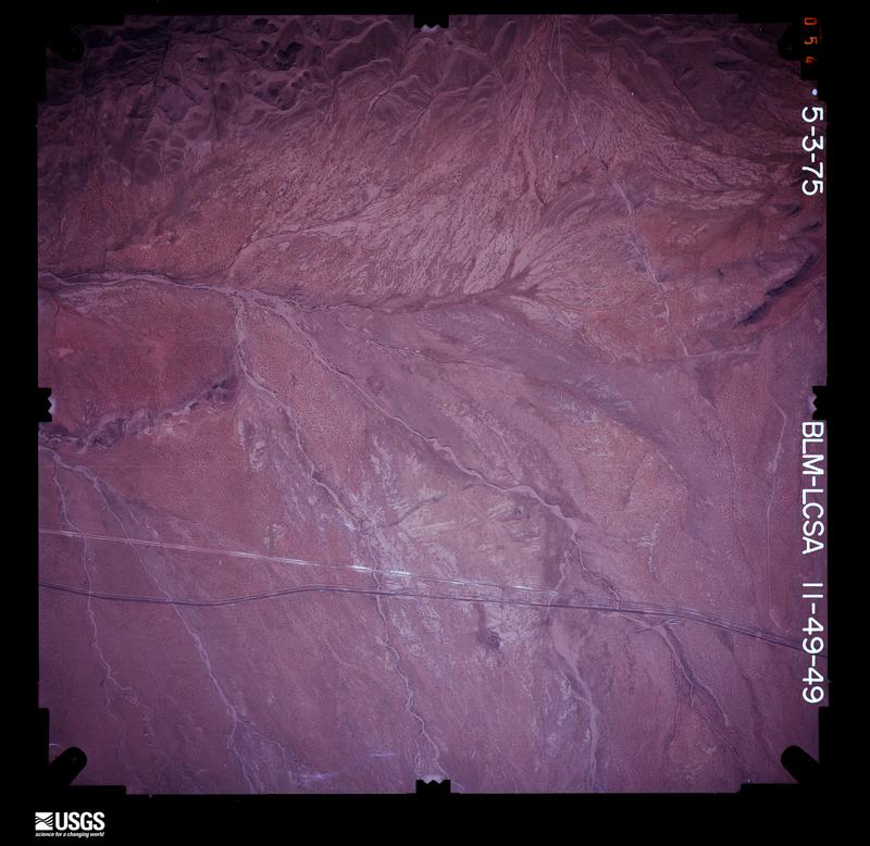
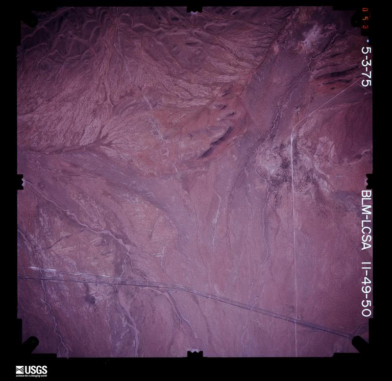
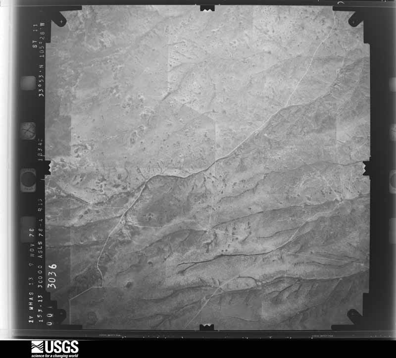
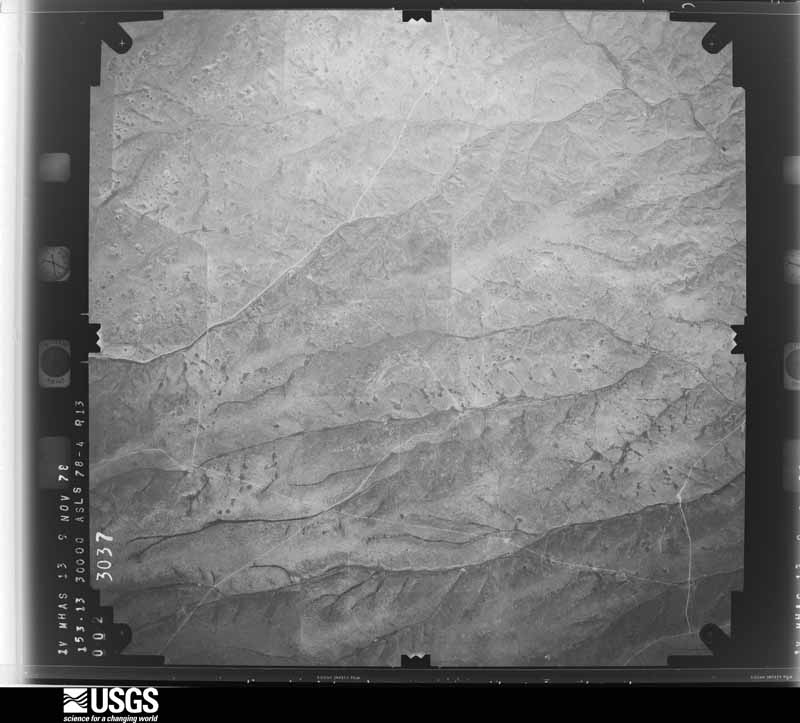
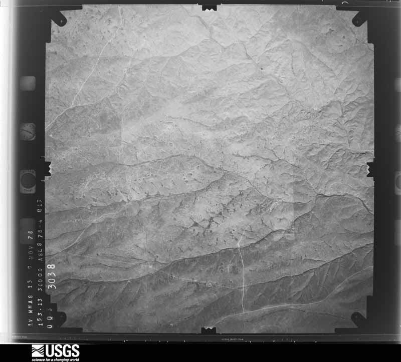
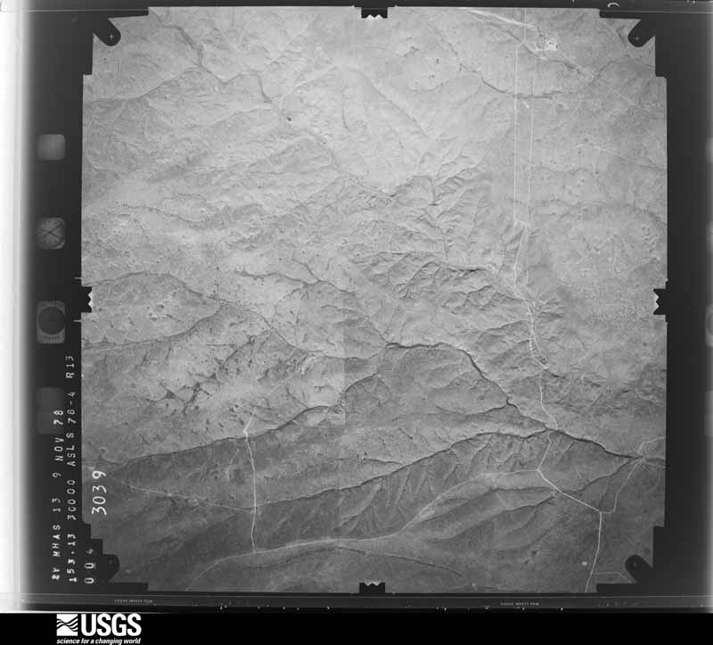
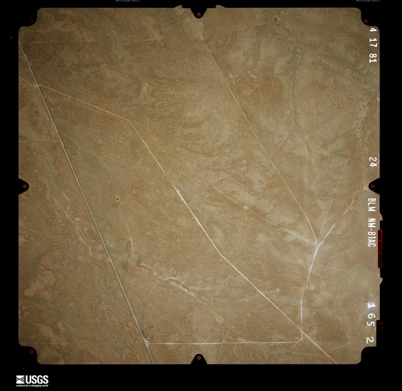
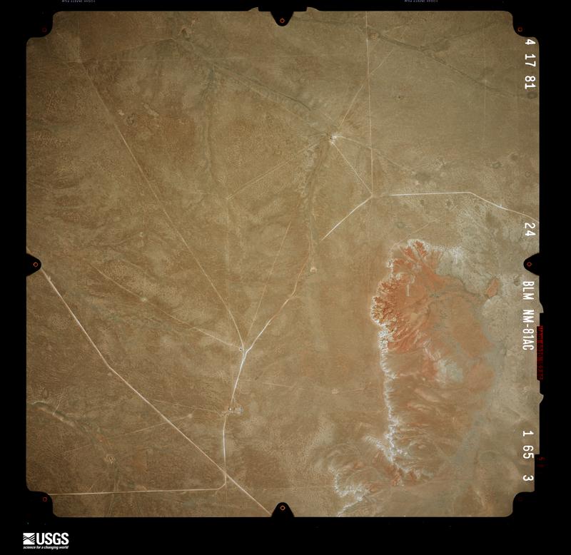
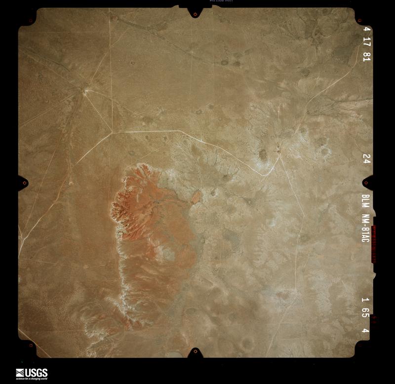
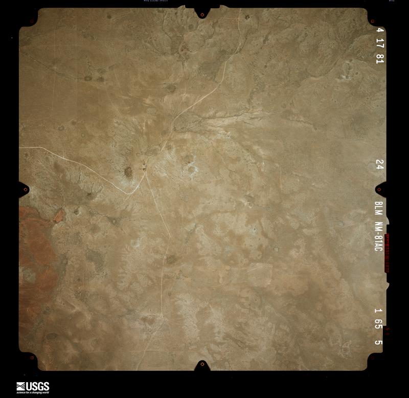
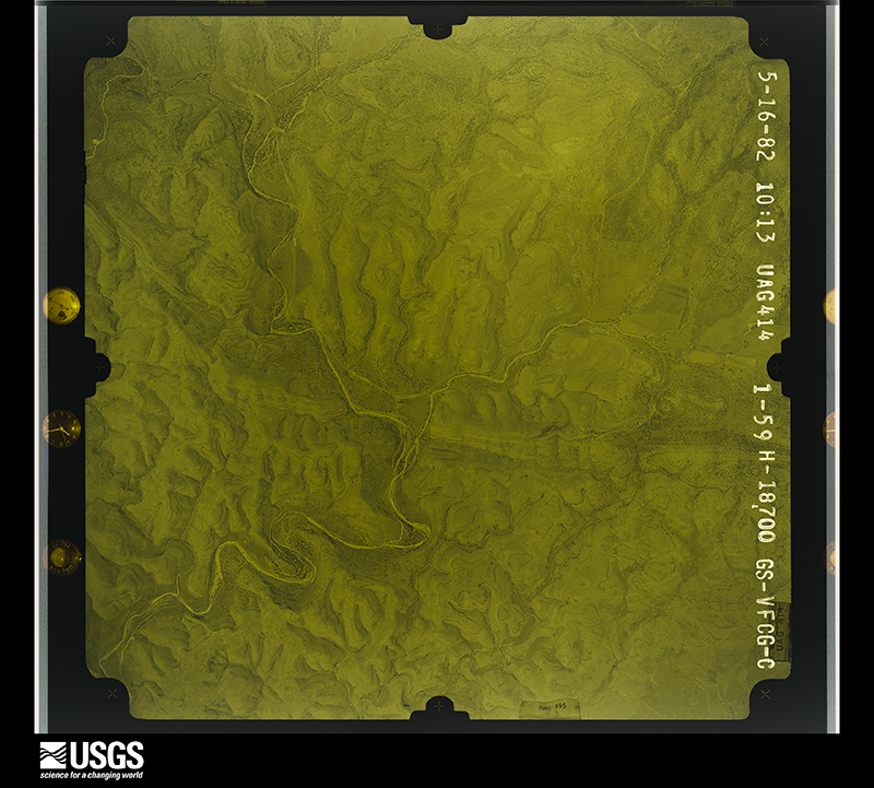
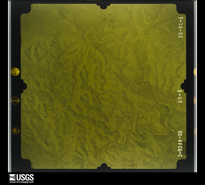
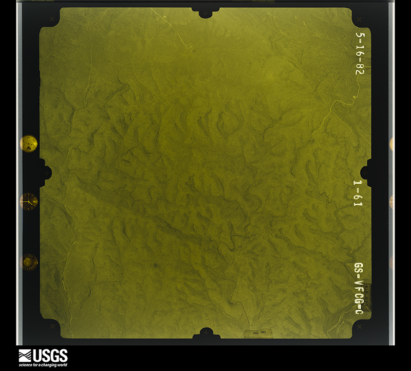
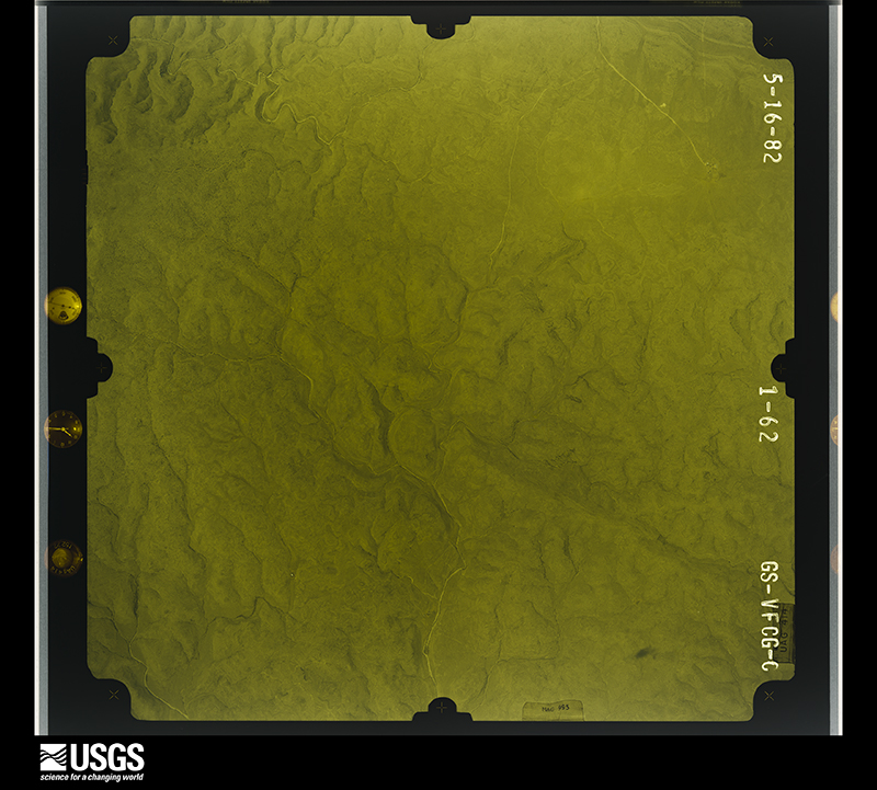
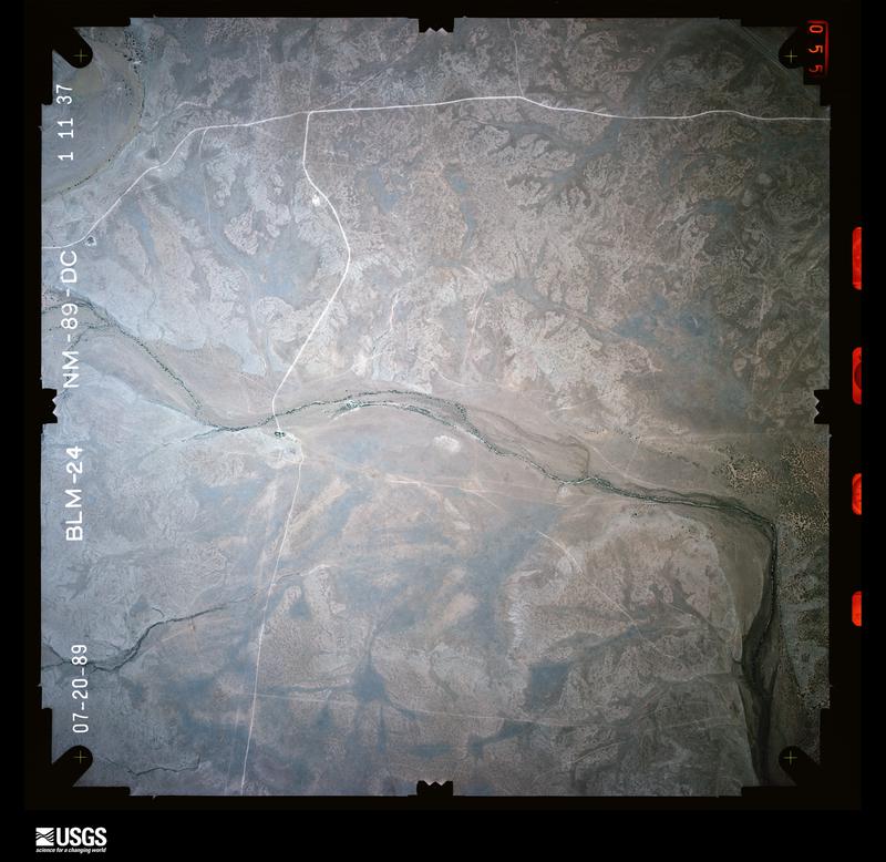
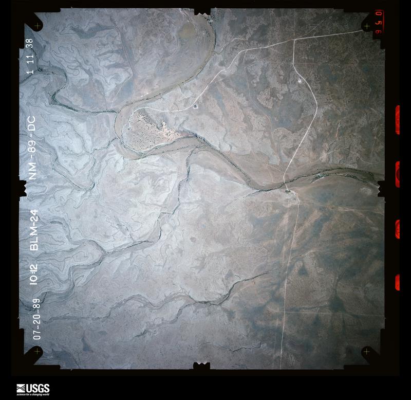
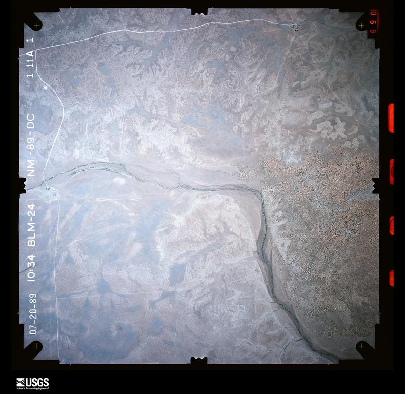
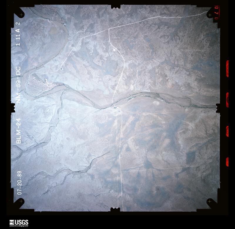
Flown by the U.S. Geological Survey between 1937 and 1989, the Aerial Photo Single Frames collection is the definitive mid-century view of the land: fields, roads and rivers as the camera saw them. The Survey holds 6,992 frames inside the rectangle that bounds this county; the 48 frames below were taken over the county itself, chosen across the decades of flights (at most four a year from that rectangle), so one flight cannot crowd out the rest. The full set is free to browse and download at EarthExplorer under the dataset Aerial Photo Single Frames.
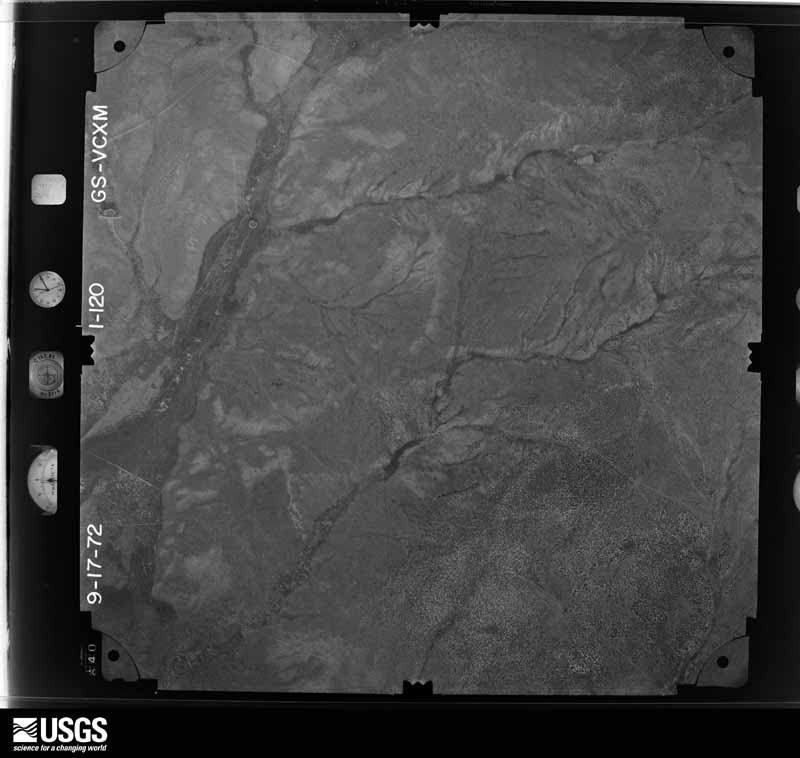
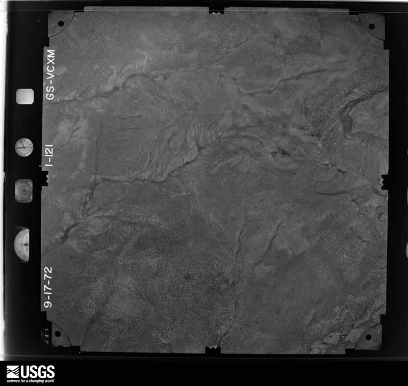
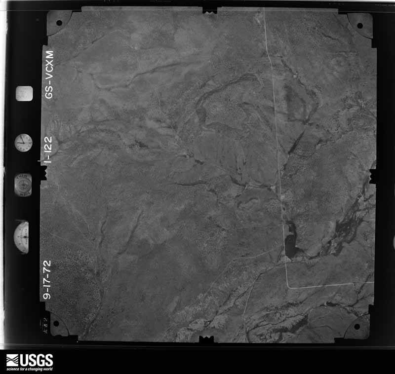
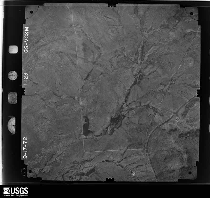
The thermometers that kept this county's weather, and the gages that measured the flow of its streams, as the federal records hold them. The extremes below are measured values from those records, not estimates.
Who lived here in 1950, one enumeration district at a time, as the Census Bureau described each district. Each row opens its official National Archives result, with Population Schedules and ED Maps available there.
Every wildfire the federal occurrence database records inside this county: 1,548 of them, burning about 487,950 acres. 668 started naturally and 35 were recorded as arson. Each settlement page carries the fires within five miles of it.
| Reported cause | Fires |
|---|---|
| Natural | 668 |
| Missing data/not specified/undetermined | 426 |
| Recreation and ceremony | 127 |
| Equipment and vehicle use | 114 |
| Debris and open burning | 94 |
| Arson/incendiarism | 35 |
| Smoking | 21 |
| Power generation/transmission/distribution | 20 |
| Railroad operations and maintenance | 20 |
| Misuse of fire by a minor | 11 |
| Other causes | 6 |
| Fireworks | 5 |
| Firearms and explosives use | 1 |
The five largest, by the area the report gives. None of them was recorded as arson.
| Date | Cause | Size | Reported by | Name on the report |
|---|---|---|---|---|
| 28 June 2011 | Natural | 101,562 acres | New Mexico State Forestry Division | DONALDSON |
| 15 May 2004 | Natural | 64,488 acres | Lincoln National Forest | PEPPIN |
| 4 June 2012 | Natural | 40,000 acres | Lincoln National Forest | LITTLE BEAR |
| 7 August 2011 | Natural | 35,165 acres | Roswell Field Office | BATON ROUGE COMPLEX |
| 18 June 2008 | Natural | 25,329 acres | Roswell Field Office | BONNIE |
| 19 June 2019 | Missing data/not specified/undetermined | 15,000 acres | Lincoln National Forest | PINE LODGE |
| 15 May 2009 | Natural | 13,969 acres | Capitan District | VISTA |
| 15 May 2009 | Natural | 13,500 acres | Roswell Field Office | EAST TANSWESTERN |
Every settlement page carries the fires within five miles of it - see the settlement index below.
The NOAA Storm Events Database holds 344 reports for this county, causing 7 deaths, 5 injuries and about $97,493,060 in recorded property damage. Each settlement page carries the reports that name it.
| Kind of event | Reports |
|---|---|
| Hail | 134 |
| Flash Flood | 115 |
| Thunderstorm Wind | 36 |
| Tornado | 23 |
| Debris Flow | 12 |
| Funnel Cloud | 8 |
| Heavy Rain | 7 |
| Wildfire | 3 |
| Lightning | 3 |
| Flood | 3 |
The most serious of them, by death, then injury, then recorded damage. The accounts are quoted exactly as the forecast office filed them.
| When | Event | Place named | Harm | What the report says |
|---|---|---|---|---|
| July 2025 | Debris Flow | Alto | 3 killed, $50,000,000 | Extremely heavy rainfall from slow moving thunderstorms resulted in catastrophic flash flooding and destructive debris flows on and downstream of the South Fork burn scar. Debris flows and a record rise on the Rio Ruidoso from 1.43 feet to 20.24 feet in approximately 30 minutes overtopped bridges and roads, pushed some houses off their foundations and down canyons and hillsides, forced power outages, and resulted in water and sewer services. These extremely high flows destroyed the horse racetrack at Ruidoso Downs. Swift water teams rescued 65 individuals from homes, RV trailers, vehicles and from flood waters and debris flows. Up to 150 families and 400 homes were believed to be impacted and damaged. Tragically, three deaths were reported, including two young children when flood waters and debris flows overwhelmed and destroyed their RV. The parents of these children ended up being hospitalized due to suffering serious injuries while trying to save their children from the floodwaters. Two family dogs were also lost in the floodwaters. A federal disaster declaration was issued by the president two days after the catastrophic flash flooding to help free up federal funds and assistance for recovery efforts. |
| May 2015 | Lightning | Capitan | 1 killed, 1 hurt | Kalina Jinzo, a 40-year mother of three, was struck by lightning and killed while traveling from Albuquerque to Ruidoso on a motorcycle on the 15th. Her husband was also struck but his injuries were not life threatening. The woman died several days later in a Lubbock hospital around the 22nd. |
| July 2008 | Flood | Hollywood | 1 killed, $25,000,000 | Widespread, serious flooding occurred from the upper canyon of the Rio Ruidoso downstream through the towns of Ruidoso, Hollywood and Ruidoso Downs as far east as Fox Caves. Flooding also occurred along the Rio Bonito from the dam at Bonito Lake downstream to State Road 48. Flooding was extensive in Ruidoso, not only along the Rio Ruidoso, Cedar Creek and other small streams, but also throughout the town from the 6 to 7 inches of rainfall that fell there. One man was killed when we was swept away by the raging Rio Ruidoso, but no other substantial injuries were reported. A total of 500 structures, including campers and mobile homes were damaged. Around 200 houses were damaged, and some were completely destroyed. At least 13 bridges were washed out and several cars were washed downstream. Several dozen recreational vehicles and campers were damaged at an RV park at Ruidoso Downs. |
| May 2021 | Flash Flood | Tinnie | 1 killed, $60,000 | Heavy rainfall in the Hondo area caused widespread flooding of roads and low water crossings. The Lincoln County emergency manager estimated that the Rio Ruidoso rose 4 to 6 feet quickly while Alamo Canyon Road south of U.S. Highway 70 was completely inundated. One individual was in their truck at Alamo Canyon Road and became stuck in the low water crossing when the flood waters inundated it. The individual then either tried to escape or the flood waters pulled them out of their truck. Tragically, they drowned, and their body was found the next day. Damages are estimated for the loss of the truck. |
| October 1996 | Flash Flood | Capitan | 1 killed | no account filed |
| July 1997 | Lightning | Alto | 2 hurt | Two golf course employees were dazed by a near-miss lightning strike. Both suffered temporary hearing lose and sonic shock. |
| September 2023 | Hail | Ramon | 1 hurt | Five vehicles were disabled on U.S. Highway 285 and one occupant sustained cuts to her arms. |
| July 2013 | Flash Flood | Alto | 1 hurt | Emergency Manager relayed that Bonito Lake Rd. near Bonito Lake was washed out. Storm cell was stationary over area for nearly one and a half hours before it dissipated. Rain gauges across the burn scar area reported rainfall amounts ranging from 0.70-1.50 during this time. A car was washed off the road in flooding location with one occupant needing rescue. |
| June 2024 | Debris Flow | Ruidoso | $10,000,000 | Heavy rains over the recent South Fork burn area totaling up to 1.48 inches at the Cow Mountain RAWS and estimate by radar to have surpassed 2 inches caused flash flooding heavy debris flows along the Rio Ruidoso. This torrent impacted several bridges and water crossings including, N. Eagle Drive, Grindstone Canyon Road, Country Club Drive. Numerous homes were impacted with a total of 26 swift water rescues stretched across the Rio Ruidoso and Cedar Creek drainages through the Village of Ruidoso. Fire crews were pulled out of sensitive areas due to the threat of heavy rains and an evacuation order was issued for the Village of Ruidoso shortly after 4pm MDT. The debris flow eventually reached downstream past the Village of Ruidoso to the Ruidoso Downs Track overtopping the edge of the facility and flowing out over the track. For reference, the Ruidoso Downs Track was constructed over the Rio Ruidoso. Miraculously there were no reports of injuries or fatalities. Damage is an estimate based extent and limited information. |
| March 2002 | Wildfire | Alto | $5,000,000 | no account filed |
| May 2000 | Wildfire | Ruidoso | $2,000,000 | no account filed |
| July 2024 | Flash Flood | Ruidoso | $750,000 | Multiple rounds of heavy rainfall from thunderstorms impacted the South Fork and Salt Fire burn scars for a second day in a row. This resulted in exacerbated flash flooding and debris flow in the same locations along the Rio Ruidoso. A house near downtown Ruidoso was reported to have been pushed 10 feet due to flash flooding. A busted water line and gas leak were also reported in the area. An SUV with 3 occupants inside floated down the Rio Ruidoso. Thankfully, all 3 occupants were rescued. The worst impacts from this episode of flash flooding and debris flow occurred on U.S. Highway 70 in Hollywood. The highway and its various intersections, including Mechem Drive and Sudderth Drive were shut down. Fast and heavy debris flow resulted in a road collapse near the Sudderth Dr. and U.S. Highway 70 intersection. The debris flowing down U.S. Highway 70 at one point included a large shipping container. Property damage cost is an estimate. |
| July 2021 | Flash Flood | Ruidoso | $750,000 | Heavy rain along the Rio Ruidoso caused water to overflow its banks which resulted in flash flooding alongside the river. Several bridges, such as the Main Road Bridge, Gavilan Canyon Bridge, and the Eagle Bridge were overtopped and damaged. The McDaniel Bridge in Upper Canyon was completely destroyed. The City of Ruidoso opened a community center for displaced residents and visitors. Damages are estimated for the structural damage done to the bridges. The New Mexico Governor declared a state of emergency for Lincoln County as a result of the significant flooding. |
| July 2024 | Flash Flood | Ruidoso | $500,000 | Heavy rainfall from thunderstorms on the South Fork and Salt Fire burn scars resulted in flash flooding and debris flows across the Upper Canyon and Brady Canyon neighborhoods along the Rio Ruidoso. A bridge on Main Road at McDaniel Road was washed from the debris flow and runoff. Video on social media showed the roof of a house along with other household debris sliding down the Rio Ruidoso upper canyon among fast moving water. Additionally, a woman was trapped in a tree due to high rushing water. Runoff from the rainfall moved downstream through the Rio Ruidoso exceeding its banks and impacting the Fern Trail and Paradise Canyon near downtown Ruidoso. Several car and water rescues were conducted in this area. The Riverside RV Park in Hollywood along the banks of the Rio Ruidoso was completely flooded out. Another video on social media showed the Rio Ruidoso at Ruidoso Downs Racetrack and Casino out of its banks flooding the horse racetrack. Additionally, crews with excavators are seen digging up dirt along the banks of the Rio Ruidoso at the racetrack cleaning up prior flash flood damage. Thankfully, no injuries or fatalities were reported from the catastrophic flash flooding. Property damage cost is an estimate. |
| June 2024 | Debris Flow | Alto | $500,000 | Heavy rain totaling 1.48 inches at the Cow Mountain RAWS station and radar estimated to be higher than 2 inches over the recent South Fork burn scar produced life threatening and extremely dangerous debris flows down Cedar Creek just north of Ruidoso. This torrent raged through town overtopping several bridges and crossings including, Mechem Road (NM Highway 48), Paradise Canyon Road, Cree Meadows Road, and Wiley Road. The debris flow also overtopped a small dam near Cree Meadows Road. Fire crews were pulled out of sensitive areas due to the threat of heavy rains and an evacuation order was issued for the Village of Ruidoso just after 4pm MDT. Some people became trapped in their vehicle along Paradise Canyon Road, requiring swift water rescue. This one swift water rescue was one of a total of 26 swift water rescues for the day caused by the flash flooding and debris flow that occurred across the Village of Ruidoso. Miraculously, there were no reports of injuries or fatalities. Damage is an estimate based on cars and road crossings being involved. |
| September 2001 | Flash Flood | Ruidoso | $500,000 | no account filed |
| July 2025 | Flash Flood | Ruidoso | $250,000 | Heavy rainfall fell over the South Fork burn scar near Ruidoso, with on gage measuring 2.14 inches. Flash flooding produced water over roadways and bridges along Cedar Creek at Mechem Drive, Cree Meadows Bridge and Drive, Innsbrook Drive, Starlite Road, White Mountain Drive, Gavilan Canyon Road, Warren Tucker Drive, Reese Drive, Musketball Drive, and Geneva Road. Three swift water rescues were conducted off Gunpowder Trail and Spring Canyon Road. A video was shared of what appears to be a mobile home washed away down Cedar Creek along Paradise Canyon Drive. The Rio Ruidoso crested to 12.68 feet in minor flood stage at 12:40pm MST, reaching out of its banks in numerous locations. Flash flooding impacted as far down Rio Ruidoso as the Ruidoso Downs Race Track. |
| July 2025 | Flash Flood | Alto | $250,000 | Heavy rains over the South Fork and Salt burn scars in and around Ruidoso resulted in burn scar flash flooding. Flash flooding was reported along multiple portions of Cedar Creek and the Rio Ruidoso, including at Mechem Dr., Brady and Porr Roads, Country Club Road, Robin Road and River Trail, a bridge at Eagle Road, Gavilan Canyon Road, and along U.S. Highway 70 in Hollywood. Spring Canyon Road was washed out and made impassable. Fast moving water was reported over all roads in the Cherokee Village Mobile Home park where a confirmed gas leak was reported alongside a successful swift water rescue of an adult woman. An unknown number of other swift water rescues were conducted in Hollywood. Flash flooding overtopped the bridge on the access road to the Ruidoso Downs racetrack, and flooded the horse tunnel and Spaghetti Flats north and east of the racetrack. Damage is an estimate. |
| September 2014 | Flash Flood | Capitan | $130,000 | Flooding was reported on State Road 246 at mile markers 4,27-29, and 55-56. Pavement was damaged at mile marker 29. The highway was closed from Capitan to Roswell. |
| July 2024 | Flash Flood | Ruidoso | $100,000 | Heavy thunderstorms on the South Fork burn scar resulted in another round of burn scar flash flooding, debris flow and severe property damage across the Upper Canyon and Brady Canyon neighborhoods along Mechem Drive west of downtown Ruidoso. Bridge 2 at Main Road and Fox Road became impassible due to flooding. Debris flows resulted in arching powerlines over the flood water at Brady Canyon. An SUV was trapped against a tree due to flood waters just north of Brady Canyon Road. There was a rescue of two juveniles from a house at Meander Drive and Paradise Canyon Drive. Runoff from the flash flooding resulted in the Rio Ruidoso to instantly rise to major flood stage and a new record level of 15.80 feet. This resulted in more flash flooding at the Ruidoso Downs Casino horse racetrack. Flash flooding caused damage to the racetrack, two bridges near the entrance of the facility, and in the barn area. After this latest instance of flash flooding, officials decided to shut down the horse racetrack for the remainder of the summer season and move upcoming scheduled races to Albuquerque. Thankfully, no injuries or fatalities were reported from this instance of burn scar flash flooding. Property damage is an estimate. |
| July 2024 | Flash Flood | Ruidoso | $100,000 | A late evening batch of moderate to heavy showers passed over the complex of burn scars in and around Ruidoso producing a half inch to one inch of rainfall in the area. Catastrophic flash flooding occurred, focusing through Cedar Creek and the Rio Ruidoso after 11pm MDT. Flood waters overtopping bridges and roadways were reported in several areas including Mechem Dr. at Brady Canyon Dr., U.S. Highway 70 at Cedar Creek, and Paradise Canyon Road at Cedar Creek. Evacuations were ordered from the Upper Canyon area to areas along the Rio Ruidoso from west of town through to mobile home areas near Hollywood along U.S. Highway 70. Several swift water rescues were conducted, including for two vehicles trapped in water near Johnson Rd., an elderly resident who was unable to evacuate on Brady Canyon Dr., and one resident trapped on one side of a bridge at Paradise Rd. and Foothill Rd. that was overtopped by water. Cherokee Mobile Home Park sustained damage with water flowing beneath mobile homes. Home damage was reported along Brady Canyon Dr. from the elderly couple who needed assistance evacuating. A culvert on Cedar Creek above the ranger station was completely torn out and washed out onto the roadway. Rises on the Rio Ruidoso at the Hollywood gage spiked from 1.58 feet to 8.16 feet within 90 minutes before waters started to recede. |
| July 2022 | Flash Flood | Hollywood | $100,000 | The Lincoln County emergency manager reported flash flooding and debris flow from the McBride burn scar at Gavilan Canyon and Warrior Drive. This forced the closure of the roadway. Local law enforcement remarked that this flooding was worse than the event on July 20th. Damages are estimated. |
| May 2021 | Flash Flood | (4cr)Corona | $100,000 | The NASA Columbia Scientific Balloon Facility southeast of Corona measured 5.77 inches of rainfall is a short period of time which caused flash flooding in the area with unpaved roadways washed out. The extent of the damages is unknown. |
| June 2014 | Tornado (EF1) | Encinoso | $100,000 | Supercell thunderstorm near Encinoso spawned a tornado along Highway 246 at Richardson Canyon Road. The tornado traveled east-southeast down Richardson Canyon Road, snapping off the tops of trees and breaking numerous branches of Ponderosa pine. The tornado intensified as it approached 2 homes. A single wide mobile home from the 1970s was completely destroyed as the undercarriage was moved about 20 feet and all walls separated and tossed. A double wide mobile home was tossed into a barn and destroyed. Portions of the roof were blown 250 yards away. At least two other homes as well as a barn and shed sustained damage. |
| September 2001 | Flash Flood | Ruidoso Downs | $100,000 | no account filed |
| June 2025 | Flash Flood | Ruidoso | $75,000 | Burn scar flash flooding off the South Fork and Salt burn scars that ran along the Rio Ruidoso from the Upper Canyon down to Hollywood. High water was reported over multiple roadways along the Rio Ruidoso, notably along Ebarb Dr. and Johnson Rd., Mechem Dr., Main Bridge 2, N. Grindstone Canyon Rd., Country Club Dr., Gavilan Canyon Rd., Eagle Dr. Bridge, Sudderth Drive. The McDaniel Bridge in the Upper Canyon area, a small water crossing, was destroyed. Damage is an estimate based on washed out culverts and the destroyed McDaniel Bridge. |
| August 2022 | Flash Flood | Alto | $75,000 | Heavy rain on the McBride burn scar caused flash flooding along Gavilan Canyon Road near the intersection of Eagle Creek Canyon Road in Ruidoso. Damages are estimated. |
| July 2025 | Flash Flood | Ruidoso | $50,000 | Heavy rain from slow moving storms on the South Fork and McBride burn scars resulted in flash flooding on and downstream of the burn scars. Several roads along and crossing the Rio Ruidoso were closed due to the resultant flash flooding and debris flow in the river. This included Mechem Drive, Ebarb Drive at Main Road and West Redwood Road, Fern Trail at Terrance and Grindstone, Eagle Bridge on Eagle Road, Gavilan Bridge on Gavilan Canyon Road in Hollywood, Cree Meadows at Country Club and Heath, Robin Road, Hull Road, and Paradise Canyon Road. The floodwaters and debris flow washed away a vehicle on Porr Drive. No information was known on if any occupants were in the vehicle at the time. Another vehicle was stuck in flood waters at Apache Hills Drive and Grant Drive. Finally, 2 to 3 inches of water entered a home on Ash Drive. |
| July 2025 | Flash Flood | Alto | $50,000 | Heavy rains resulted in high water levels along the Rio Bonito and along Sandesta Dr., entering homes in the area. Damage is an estimate. |
| July 2024 | Flash Flood | Alto | $50,000 | Rainfall amounts of 0.50 to 1.50 inches fell on the South Fork burn scar west of downtown Ruidoso during the early afternoon hours. This rainfall resulted in more burn scar flash flooding and debris flows across neighborhoods in Alto and Ruidoso. The Cherokee Mobile Village along U.S. Highway 70 at the Lincoln and Otero County line was evacuated due to flash flooding. Mechem Dr. became impassible again due to Cedar Creek overflowing its banks and rushing over the roadway. Heavy flows along Cedar Creek caused Mechem Dr. to become impassable, washed out a part of Musket Ball Dr. and brought debris flow over Cree Meadows Drive. Flooding of the Rio Ruidoso resulted in the closure of Gavilan Canyon Road and the evacuation of the Gavilan Mobile Home Park. Debris flow on the Rio Ruidoso destroyed a culvert on the eastern end of the Ruidoso Downs racetrack. Water and debris flow reported west of Alto making NM 532 impassable. Fortunately, no reports of significant water rises were received downstream of the water breach at Ruidoso Downs. Culvert and trailer park damage cost is an estimate. |
| August 2022 | Flash Flood | Hollywood | $50,000 | Heavy rain on the McBride burn scar caused flash flooding along Gavilan Canyon Road, near Warrior Drive. Damages are estimated. |
| July 2022 | Flash Flood | Alto | $50,000 | The Lincoln County emergency manager reported that an estimated 1.5 inches over the McBride burn scar caused flooding of Lower Eagle Creek with water, mud, and debris over Eagle Creek Road which is also known as New Mexico State Highway 120. Many 6 to 18 inch diameter boulders flowed over the roadway along with large segments of burned timber. Damages are estimated. |
| July 2022 | Flash Flood | Hollywood | $50,000 | Heavy rain on the McBride burn scar caused flash flooding and debris flow within Gavilan Canyon. Photos shared by the Lincoln County emergency manager shows mud and debris across Gavilan Canyon Road which made the roadway impassable. Photos shared also depicted significant flooding and debris flow at the Gavilan Canyon Hideaway and Escape RV Park with mud and debris making roadways impassable. Damages are estimated. |
| June 2021 | Flash Flood | Pine Lodge | $50,000 | Heavy rain near Arabela forced the closure of New Mexico State Road 246 between mile marker 29 and mile marker 31.5. The Lincoln County emergency manager reported that the flood waters washed away the pavement. Damages are estimated for the loss of the road. |
| June 2014 | Hail | (4cr)Corona | $50,000 | Lots of reports of hail damage across the village of Corona. Numerous homes observed window, skylight, siding, and vehicle damage. Damage primarily occurred on north side of structures. Some livestock was also killed, including four chickens. Most impressive was an almost perfectly circular hole in the back pane of a home window. Back windshield of an Acura was completely shattered out. Most residents confirmed average stone size was around golf ball with larger stones of 2 to 2.75 inches in diameter. |
| June 2012 | Flash Flood | Alto | $50,000 | Three hundred yards of forest service road 107 washed out between Runnels Stables on northwest end of Little Bear burn scar and Bonito Lake. Debris over the roadway from George Washington Canyon to Bonito Lake. Culverts along forest service road 107 also washed out. |
| September 1996 | Flash Flood | Tinnie | $40,000 | no account filed |
| June 2025 | Flash Flood | Hollywood | $30,000 | Flash flooding off the Salt burn scar coming out of Bear Canyon. Swift water rescues conducted at the Cherokee Mobile Home Park, the Elevate Hotel, and for three vehicles at the Otero Federal Credit Union. Flash flooding reported at the Twin Spruce RV park, U.S. Highway 70 and Sudderth Dr. and U.S. Highway 70 and mile mark 261 closed due to burn scar flash flooding. Damage is an estimate based on vehicles rescues. No injuries or fatalities reported. |
| July 2021 | Flash Flood | Capitan | $30,000 | Heavy rain near Capitan in Lincoln County resulted in the rapid rise of the Magado Creek near the Capitan Fairgrounds. The Magado Creek rose an estimated ten feet which caused the flooding of a low water crossing in the area and temporarily trapping two unoccupied vehicles. No injuries or fatalities were reported. Damages are estimated for the damage to the two vehicles. |
| July 2025 | Flash Flood | Alto | $25,000 | Heavy rains over the South Fork and Salt burn scars near Ruidoso produced flash flooding. Water and debris overflowed U.S. Highway 70 at Sudderth Dr. and Ruidoso Downs, White Mountain Dr., Gavilan Canyon Rd. from Alto Cafe to Meander, and Alpine Village Road. The Cherokee Mobile Home village was evacuated with swiftwater rescues performed there, and at Big-O Tires and on Friedenbloom Drive. Damage is an estimate. |
| August 2022 | Flash Flood | Alto | $25,000 | The Lincoln County emergency manager reported that hours of light, steady rainfall with totals of 1 to 2.5 inches caused burn scar flash flooding on the McBride burn scar near Ruidoso. All of Gavilan Canyon was flooded. Damages are estimated. |
| July 2018 | Hail | Carrizozo | $25,000 | Heavy amounts of hail between the size of nickels and quarters impacted Carrizozo. Several recreational vehicles suffered damage to sky lights. Damage amounts are estimated. |
| October 2015 | Hail | Lincoln | $25,000 | Observer reported damage to cars, roofs and windows. Extent of damage unknown. |
| July 2012 | Flash Flood | Nogal | $25,000 | A partial road collapse occurred along Old Bonito Lake Rd due to flash flood undercuts and encroachments. This collapse was located about 2 miles west of the intersection with State Road 37. |
| July 2010 | Flash Flood | (Srr)Sierra Blanca Reg Airport | $25,000 | Six to 12 inches of water was on several roads northeast of Alto in the Rancho Ruidoso subdivision. Some of the worst hit roadways include County Road D003, Little Creek Road, and Little Creek Hills Road. At least one house and one barn flooded, and several other homes in the area had minor damage. |
| May 2009 | Lightning | Encinoso | $25,000 | Three major fires consumed around 44,000 acres of rangeland from May 20th into the 24th. The three fires were located north of Capitan, around Arabela and near Picacho. The most significant of these was the Fresquez 2 fire north of Capitan. It burned around 10,000 acres north of Highway 246/48 and six ranches suffered fire damage to various degrees. Burned pasture/grassland was the main fire damage as no structures were damaged. However, several cattle were killed in the blaze. |
| July 2025 | Flash Flood | Ruidoso | $20,000 | Heavy rains over the South Fork and Salt burn scars resulted in burn scar flash flooding in the Ruidoso area, including near schools. Flash flooding was reported in multiple areas along roads and highways including White Mountain Dr., Hull Rd., Mechem Dr., Paradise Canyon Dr. just north of Sudderth Dr., Perk Canyon Dr., and along Main Road. The access road to the Ruidoso Downs racetrack was once again overtopped. The Fire Department assisted in a swift water rescue of an occupied vehicle being pushed by flood waters. Damage is an estimate, and there are no reports of injuries or fatalities. |
| July 2024 | Flash Flood | Alto | $20,000 | Rainfall amounts of around half an inch over the South Fork burn scar resulted in more flash flooding across the Upper Canyon and Brady Canyon neighborhoods west of downtown Ruidoso. Runoff on the burn scar resulted in flash flooding on the Rio Ruidoso resulting in road closures along and near the banks of the river, including White Mountain and Sunny Slope Drive, Brady Canyon Road and Mechem from Cedar Creek, and Gavilan Canyon Road. Property damage is an estimate. |
| September 2022 | Flash Flood | Hollywood | $20,000 | Localized heavy rainfall on Gavilan Ridge flowed downhill onto the McBride burn scar which caused flash flooding along Gavilan Canyon Road from Janet Drive northward to Airplane Canyon. Burn scar flash flooding resulted in rock and mud debris along the roadway. Damages are estimated. |
| June 2021 | Flash Flood | Arabela | $20,000 | Heavy rain near Arabela forced the closure of New Mexico State Road 368 at mile marker 9. The Lincoln County emergency manager reported that water was flooding a substantial bridge at mile marker 9. Damages are estimated. |
| July 2021 | Flash Flood | Capitan | $20,000 | Video obtained by KOAT TV showed flash flooding in Angus with fast moving water rushing against a home and leaking underneath the doorway. No significant damages are known, and damages are estimated for minor home flood damage. |
| July 2012 | Flash Flood | Alto | $20,000 | Narrow stream channels quickly rose with water levels reaching a depth of 4 feet. the flood waters moved debris and boulders the size of car tires 10 to 15 feet downstream. Culverts were compromised in the Eagle Creek residential area with numerous roads washed out, especially along Forest Road 127A. Paved roads in the area were less impacted. |
| August 2000 | Flash Flood | Ruidoso Downs | $20,000 | Peat gravel from new road construction clogged culverts and filled a small retention pond during heavy runoff from a storm that yield about 3 inches of rain in 2 hours. Water then overflowed from the streets into a residential area flowing across lawns and underneath trailer homes. Damage was limited to skirting that was ripped from several homes and an empty propane tank floating away. |
| June 2021 | Flood | Picacho | $15,000 | Heavy rain in the Picacho area in Lincoln County resulted in flooding along low water crossings across U.S. Highway 70. An individual did attempt to drive their truck into a flooded low water crossing. Fortunately, the driver was not hurt, but the truck was submerged and had to be pulled out of the water. Damages are estimated for the loss of the truck. |
| June 2025 | Flash Flood | Ruidoso | $10,000 | Heavy rain on the South Fork burn scar resulted in flash flooding and flowing water across Ebarb Dr. from Perk Canyon along with Brady Canyon Rd. and Ponderosa Dr. The flash flooding continued downstream with a dumpster floating down Rio St. and Grindstone Canyon Rd. and flowing water closing Johnson & Main Rd. Large debris was reported at the 300 block of Cedar Creek. Water was also observed reaching the bridge at Two Rivers. Finally, flooding was observed at the Riverside RV Park near Gavilan Canyon Rd. and Sudderth Dr. |
| September 2025 | Flash Flood | Ruidoso | $10,000 | Rainfall over the South Fork burn scar resulted in flash flooding that washed out a low water crossing along Maple Drive through Brady Canyon. |
| September 2025 | Debris Flow | Ruidoso | $10,000 | Heavy rain from thunderstorms over the South Fork burn scar produced water and debris in Cedar Creek flowing over the bridge at Brady Canyon Road and Ponderosa Drive before moving across Mechem Drive at Brady Canyon Road, shutting down Mechem Drive. Water and debris in Cedar Creek continued downstream moving over the road at Cree Meadows and Country Club Drive and Paradise Canyon Drive at Starlite Road and Hull Road, closing these roads. Video from social media showed floodwaters and debris flows swiftly going around a house along the banks of the Rio Ruidoso at the first bridge on Main Road in the Upper Canyon neighborhood. The Rio Ruidoso was observed flowing over the bridge at Country Club Drive and Eagle Drive resulting in the closure of these two roadways. Finally, the floodwater and debris flow in the Rio Ruidoso overwhelmed culverts under the western part of the Ruidoso Downs racetrack eventually moving across the racetrack itself. |
| June 2024 | Flash Flood | Hollywood | $10,000 | Water and debris completely covered Gavilan Canyon Road at the Gavilan Canyon Softball Field, making the road impassable. |
| December 2023 | Thunderstorm Wind | Ruidoso | $10,000 | Winds blew down large tree branches onto a house. Wind speed is an estimate based on the large tree branch broken causing damage. |
| August 2022 | Flash Flood | Hollywood | $10,000 | The Lincoln County emergency manager reported flash flooding on Gavilan Ridge within the McBride burn scar that forced road crews to clean up debris on area roadways. Damages are estimated. |
The Survey's mineral resources record lists 404 workings inside this county. 5 still produce and 399 are closed or unrecorded. Each settlement page carries the workings within five miles of it.
| Commodity | Workings |
|---|---|
| Iron | 107 |
| Gold | 48 |
| Fluorine-Fluorite | 33 |
| Silver | 33 |
| Sand and Gravel, Construction | 32 |
| Copper | 28 |
| Barium-Barite | 17 |
| Uranium | 15 |
| Silver, Gold | 14 |
| Silver, Copper | 14 |
| Thorium | 13 |
| Lead, Zinc | 12 |
| Gold, Silver | 10 |
| Gypsum-Anhydrite | 8 |
The least common of them first, because a county's hundredth gravel pit says nothing its first ten did not.
| Where | Site | Commodity | Status | Recorded |
|---|---|---|---|---|
| All American Fluorspar Mine | Fluorine-Fluorite, REE, Copper | Past Producer | 1942, 1949, 1951 | |
| All American Prospect | Barium-Barite, Calcium, Silica, Fluorine-Fluorite | Past Producer | 1942 | |
| Black Gold Mine | Gold, Iron | Occurrence | Gold, Magnetite, Pyrite | |
| Blue Front Mine | Aluminum | Unknown | ||
| Blue Star Prospect | Barium-Barite, Lead, Iron, Fluorine-Fluorite, Calcium | Past Producer | ||
| Bonita Claims | Copper, Gold, Lead, Silver | Occurrence | Chalcopyrite, Quartz | |
| Bottleneck Prospect | Barium-Barite, Fluorine-Fluorite, Iron, Lead, Silica | Prospect | ||
| Commercial Mine | Copper, Lead, Silver, Gold, Zinc | Past Producer | 1885 | |
| Conqueror Mine | Copper, Lead, Fluorine-Fluorite, REE, Molybdenum, Barium-Barite | Past Producer | 1956, 1966 | |
| Conqueror Mine | Copper, Fluorine-Fluorite, Lead | Past Producer | ||
| Conqueror No 9 | Copper, Fluorine-Fluorite, Lead, Silver, REE | Past Producer | ||
| Copeland Canyon Prospect | Uranium, Iron, Thorium | Occurrence | Magnetite | |
| Crow Mine | Gold, Copper, Zinc, Silver, Lead | Past Producer | ||
| Gallinas Rare Earth Deposits | REE, Fluorine-Fluorite, Silica, Calcium, Barium-Barite | Past Producer | 1942 | |
| Grey Goose Mine | Silver, Lead | Unknown | ||
| Homestake South | Tungsten | Past Producer | ||
| Hope Prospect | Silver, Zinc, Lead, Copper | Prospect | ||
| Maud Mine | Lead, Silver, Gold, Zinc, Copper, Molybdenum | Past Producer | 1887, 1964 | |
| Maud Mine | Silver, Lead, Gold | Unknown | ||
| Mudpuppy-Waterdog Prospect | Copper, Gold, Molybdenum, Tellurium | Occurrence | Molybdenite, Pyrite | |
| No 1 Jerry | Stone | Unknown | ||
| Old Hickory Mine | Fluorine-Fluorite, REE, Copper, Lead | Past Producer | 1899 | |
| Old Red Fox | Lead, Zinc, Silver, Molybdenum | Past Producer | ||
| Red Cloud Copper and Fluorite Mines | Silver, REE, Lead, Gold, Copper, Barium-Barite, Fluorine-Fluorite | Past Producer | 1881, 1909 | |
| Red Cloud Mine | Fluorine-Fluorite, Barium-Barite, REE | Past Producer | 1925, 1952 | |
| Red Cloud Mine | Lead, Silver, Copper, Zinc, Fluorine-Fluorite, REE | Past Producer | 1885, 1980 | |
| Renowned Mine | Silver, Zinc, Copper, Lead | Past Producer | ||
| Renowned O.K. Mine | Lead, Silver, Zinc, Copper | Past Producer | 1885, 1957 | |
| Rialto Molybdenum Prospect | Molybdenum, Copper, Gold | Occurrence | 1894 | |
| Spring Gold Stain Mine | Gold, Arsenic | Occurrence | Gold, Pyrite | |
| Suprise Group | Copper, Silver, Zinc, Molybdenum, Gold, Lead | Occurrence | Chalcopyrite, Galena, Malachite, Molybdenite, Sphalerite, Tennantite, Tetrahedrite | |
| T Claim | Semiprecious Gemstone, Gold, Silver | Occurrence | ||
| Tonuco Mine | Barium-Barite, Silica, Fluorine-Fluorite, Calcium | Past Producer | ||
| White Oaks District | Gold, Tungsten | Past Producer | QUARTZ VEINS | |
| Abo | Thorium, Uranium | Unknown | ||
| All American Mine | Fluorine-Fluorite, REE, Barium-Barite | Past Producer | 1942, 1949, 1951 | |
| Arabela Mines Inc Prospect | Manganese | Prospect | ||
| Arabela Mines Mn Mine | Manganese, Silver | Past Producer | 1959 | |
| Bailey Mine | Silver, Gold, Zinc | Unknown | ||
| Conqueror No. Four Prospect | Barium-Barite, Fluorine-Fluorite, Silica | Prospect | ||
| Crow Mine | Lead, Silver, Copper, Zinc | Past Producer | 1950, 1963 | |
| Eagle Nest No 1&2 White Oaks Dist | Thorium, Uranium | Occurrence | ||
| Eagle Nest Prospect | Barium-Barite, Fluorine-Fluorite, Silica | Prospect | ||
| Helen Rae Mine | Gold, Silver, Lead, Copper, Zinc | Past Producer | 1885, 1937 | |
| Homestake Group | Copper, Lead, Zinc, Silver, Gold | Past Producer | 1902 | |
| Hoosier Girl Prospects | Fluorine-Fluorite, REE, Barium-Barite | Occurrence | Barite, Fluorite | |
| Jicarilla Gold Placers | Gold, Silver, Platinum | Past Producer | 1850, 1942 | |
| Old Hickory Mine | Fluorine-Fluorite, Barium-Barite, Lead, Copper | Occurrence | 1925 | |
| Parsons Mine | Gold, Semiprecious Gemstone | Past Producer | ||
| Silver Contact Claims 1980's | Silver, Gold, Lead, Copper, Zinc | Past Producer | 1900, 1905, 1939 | |
| Silver King Tunnel | Silver, Lead, Copper | Unknown | ||
| T-2 Claim | Semiprecious Gemstone | Unknown | ||
| Tecolote Iron District | Platinum | Occurrence | STREAM PLACER | |
| Turkey Group | Gold, Silver, Copper, Lead, Zinc | Past Producer | 1902 | |
| Ancho Clay | Fire Clay (Refractory) | Prospect | ||
| Ancho Fire Clay Deposit | Fire Clay (Refractory) | Past Producer | 1902, 1922 | |
| Ancho Gypsum Deposits | Gypsum-Anhydrite, Fire Clay (Refractory) | Past Producer | Gypsum | |
| Little Hecla Claims | Silver, Gold, Copper | Unknown | ||
| Little Mack Mine | Gold, Silver, Tungsten | Past Producer | 1885, 1940 | |
| North and South Homestake Mines | Gold, Silver, Tungsten | Past Producer | 1879, 1950 | |
| Old Abe Mine | Gold, Silver, Tungsten | Past Producer | 1879, 1890, 1951 | |
| Silver Plume Mine | Silver, Gold, Copper | Unknown | ||
| Alpha Mill | Copper, Gold, Silver | Unknown | ||
| Alpha Mine | Copper, Gold, Silver | Unknown | ||
| Barry Prospects | Thorium, REE | Occurrence | 1952 | |
| El Tigre Prospect | Thorium, REE | Occurrence | Allanite | |
| Eureka Prospect | Fluorine-Fluorite, Barium-Barite, Copper, Lead | Occurrence | Barite, Chrysocolla, Fluorite, Galena | |
| Fuzzy Nut 1-18 Claims | Thorium, REE | Occurrence | ||
| Idaho Mine | Copper, Gold, Silver | Past Producer | ||
| Junction Mine | Copper, Lead, Iron, Barium-Barite | Past Producer | 1934 | |
| Pride 2 and E and M 13 | Thorium, REE | Occurrence | Bastnaesite | |
| Rialto Group | Molybdenum, Copper, Gold, Silver | Prospect | ||
| American Mine | Gold, Silver, Zinc, Lead | Past Producer | 1868, 1885, 1935 | |
| Barlejon No 2 | Thorium, REE | Prospect | ||
| Bon Group | Molybdenum | Occurrence | ||
| Bon Group Moly Prospect | Molybdenum | Occurrence | Molybdenite | |
| Bon Group Molybdenum Prospect | Molybdenum | Occurrence | Molybdenite | |
| Buckhorn Prospect | Copper, Fluorine-Fluorite | Occurrence | Vein | |
| Buckhorn, Little Wonder Adit | Copper, Fluorine-Fluorite | Past Producer | 1881, 1951 | |
| Butcher Boy | Silver, Copper, Lead | Unknown | ||
| Deadwood | Copper, Fluorine-Fluorite | Occurrence | ||
| Eagle Nest Prospect | Fluorine-Fluorite, Barium-Barite, REE | Occurrence | 1946 | |
| Eureka Prospect | Copper, Fluorine-Fluorite | Occurrence | ||
| Hopeful Mine | Silver, Gold, Zinc, Lead | Past Producer | ||
| Little Wonder | Copper, Fluorine-Fluorite | Unknown | ||
| M and E No 13 | Fluorine-Fluorite, Copper, REE | Unknown | ||
| Mccrory Prospect | Lead | Prospect | ||
| Michigan | Lead | Unknown | ||
| Mineral Farm Prospect | Zinc, Lead, Copper | Unknown | ||
| Park Gold No 3 Mine | Silver, Copper, Lead | Unknown | ||
| Parsons Mine | Gold, Silver, Molybdenum | Past Producer | 1886, 1887, 1933 | |
| Pride No 2 | Fluorine-Fluorite, Copper, REE | Unknown | ||
| Rare Metals Prospect | Iron, Lead | Occurrence | 1945 | |
| Thrifty Claim | Silver, Gold, Zinc, Lead | Unknown | ||
| Water Dog Prospect | Zinc, Lead | Prospect | ||
| Koprian Springs | Uranium, Thorium | Occurrence | Allanite | |
| Mina Tiro Estrella | Uranium, Thorium | Occurrence | Allanite | |
| Monzo Group | Uranium, Thorium | Occurrence | Allanite | |
| Pine Lodge Deposits | Uranium, Thorium | Occurrence | Allanite | |
| San Pedro-Link- Nob Hill | Uranium, Thorium | Occurrence | Allanite | |
| Wee-Three 1-3 | Uranium, Thorium | Occurrence | Allanite | |
| Bull Dyker | Copper, Silver, Gold | Occurrence | ||
| Butts Pit | Stone, Crushed/Broken | Unknown | ||
| Cap Claim | Copper, Silver, Gold | Occurrence | ||
| Mac Rock Quarry | Stone, Crushed/Broken | Past Producer | 1992 | |
| Materials Pit | Stone, Crushed/Broken | Unknown | ||
| Materials Pit | Stone, Crushed/Broken | Unknown | ||
| Materials Pit | Stone, Crushed/Broken | Unknown | ||
| Minnie Lea | Copper, Silver, Gold | Occurrence | ||
| Rock No 1 | Copper, Silver | Prospect | ||
| Sailor Boy | Copper, Silver, Gold | Unknown | ||
| Silver Dollar Claim | Copper, Silver, Lead, Zinc | Unknown | ||
| Silver King Claim | Silver, Gold, Zinc | Unknown | ||
| Smoot Pit | Stone, Crushed/Broken | Past Producer | ||
| Tom's Gravel Pit | Stone, Crushed/Broken | Past Producer | 1992 | |
| Unnamed Mine | Zinc | Prospect | ||
| Unnamed Mine | Zinc | Prospect | ||
| Unnamed Mine | Zinc | Prospect | ||
| Ancho Gypsum | Gypsum-Anhydrite | Past Producer | ||
| Cowboy Mesa Gypsum Deposit | Gypsum-Anhydrite | Occurrence | Gypsum | |
| Hasparos Canyon Gypsum Deposit | Gypsum-Anhydrite | Occurrence | Gypsum | |
| Mescalero Gypsum Deposit | Gypsum-Anhydrite | Occurrence | Gypsum | |
| Phillips Hills Gypsum Deposit | Gypsum-Anhydrite | Occurrence | Gypsum | |
| Rio Hondo and Rio Ruidoso Valley Gypsum Deposit | Gypsum-Anhydrite | Occurrence | Gypsum | |
| Wagon Canyon Gypsum Deposit | Gypsum-Anhydrite | Occurrence | Gypsum | |
| Bonita No 1 Claim | Gold, Silver, Copper | Unknown | ||
| Clipper Claims | Gold, Silver | Past Producer | ||
| D and B Tunnel | Gold, Silver | Unknown | ||
| Eps-1 Claim | Gold, Silver | Unknown | ||
| Illinois | Gold, Silver | Unknown | ||
| Ironsides Claim | Gold, Silver, Lead, Zinc | Unknown | ||
| Jester | Gold, Silver | Unknown | ||
| Red Jim | Gold, Silver | Unknown | ||
| Rochford Claims | Gold, Silver | Past Producer | ||
| American | Gold, Lead, Zinc | Past Producer | ||
| Helen Rae | Gold, Lead, Zinc | Past Producer | ||
| Martha Washington | Lead, Zinc | Unknown | ||
| Mayberry Mine | Lead, Zinc | Past Producer | ||
| Old Abe Mine Lead-Zinc | Lead, Zinc | Unknown | ||
| Old Chinaman | Lead, Zinc | Unknown | ||
| Spur Mine | Lead, Zinc, Silver | Unknown | ||
| Sugar Stake Claim | Silver, Lead, Zinc | Unknown | ||
| Washington | Lead, Zinc, Copper | Unknown | ||
| Barry Prospect | Thorium | Prospect | ||
| Capitan Uranium Co Claims | Thorium, Uranium | Prospect | ||
| Capitan Uranium Co. Prospect | Uranium, Thorium | Occurrence | ||
| Drunzer Prospect | Thorium | Occurrence | 1952 | |
| Drunzer Prospect | Thorium | Prospect | ||
| King Prospect | Thorium | Occurrence | 1952 | |
| Mccory Prospects | Thorium | Occurrence | 1952 | |
| Mccrory Prospect Sec 31 | Thorium | Occurrence | ||
| Mccrory Prospect Sec 36 | Thorium | Occurrence | ||
| Monzo Claims | Thorium | Prospect | ||
| Silvertone Claim | Uranium, Thorium | Occurrence | ||
| Wee Three No 1 & 2 | Thorium | Prospect | ||
| Ball Hornet Claims | Silver, Gold | Unknown | ||
| Betty and Stella Claims | Silver, Copper, Gold | Unknown | ||
| Buster Brown | Silver, Copper, Gold | Unknown | ||
| C and M No 1 & No 2 Claims | Silver, Gold | Unknown | ||
| Commercial Mine | Silver, Copper | Prospect | ||
| Copper Glance Claim | Silver, Copper, Gold | Unknown | ||
| Copper King No 1 Mine | Silver, Copper | Unknown | ||
| Delaware | Silver, Gold | Unknown | ||
| Great Western Mine | Silver, Gold | Past Producer | ||
| Grub Stake | Silver, Copper | Unknown | ||
| Hat Claim | Silver, Copper, Gold | Occurrence | ||
| Homestake Mine | Silver, Copper, Gold | Past Producer | ||
| Last Chance Claim #1 | Silver, Gold | Unknown | ||
| Magma No 1 and 2 Claims | Silver, Copper | Occurrence | ||
| Midnight Mine | Silver, Gold | Unknown | ||
| Moscow | Silver, Copper | Unknown | ||
| Silver-Coper Claim | Silver, Copper, Gold | Occurrence | ||
| Surprise | Silver, Copper | Unknown | ||
| Sylvanite | Copper, Silver, Gold | Occurrence | ||
| Telluride | Copper, Silver, Gold | Occurrence | ||
| Trust | Silver, Gold | Unknown | ||
| Barlejon #2 Prospect | Uranium | Occurrence | ||
| Bear Canyon Group | Uranium | Past Producer | ||
| Harkey Prospect | Uranium | Occurrence | ||
| Hopeful Claims | Uranium, Fluorine-Fluorite | Occurrence | Fluorite | |
| House Mines Prince | Iron, Uranium | Occurrence | Gypsum, Magnetite | |
| Pinie Claims | Uranium | Prospect | ||
| Richardson Claims | Uranium | Occurrence | ||
| Section 2 Occurrence | Uranium | Occurrence | Vein | |
| Spur Adit | Uranium | Occurrence | ||
| Tortolita Canyon Vein | Uranium | Occurrence | Pyrite | |
| Valley of Fire Road Cut | Uranium | Occurrence | 1955 | |
| Big Ben Prospect 1966 | Fluorine-Fluorite, Barium-Barite | Occurrence | Barite, Fluorite | |
| Bottleneck | Fluorine-Fluorite, Barium-Barite | Prospect | ||
| Bottleneck Prospect | Fluorine-Fluorite, Barium-Barite | Occurrence | Barite, Fluorite | |
| Box Lode Claims Nos 1-22 | Barium-Barite | Occurrence | ||
| Congress Prospect | Fluorine-Fluorite, Barium-Barite | Occurrence | Barite, Fluorite | |
| Conqueror No. 4 and Hilltop Prospect | Fluorine-Fluorite, Barium-Barite | Occurrence | Barite, Fluorite | |
| Devils Canyon | Barium-Barite, Fluorine-Fluorite | Past Producer | ||
| Fox Lode Prospect | Barium-Barite, Copper | Occurrence | Barite | |
| Hilltop | Fluorine-Fluorite, Barium-Barite | Occurrence | ||
| Idaho Mine | Copper, Silver, Barium-Barite | Past Producer | ||
| Summit Prospect | Fluorine-Fluorite, Barium-Barite | Occurrence | Barite, Fluorite | |
| Apex Claim | Copper | Prospect | ||
| Baby Claims | Copper | Unknown | ||
| Columbia Mine | Copper | Unknown | ||
| Copper Prospect 1 | Copper | Occurrence | Malachite | |
| Copper Prospect 2 | Copper | Occurrence | Malachite | |
| Copper Prospect 3 | Copper | Occurrence | Malachite | |
| Deadwood Prospect | Copper, Fluorine-Fluorite | Occurrence | Vein | |
| Estey City Copper Mines | Copper, Silver | Past Producer | 1882, 1918, 1925 | |
| Junction Mine | Copper | Unknown | ||
| Lucky Strike Mine | Copper | Prospect | ||
| Monte Carlo | Copper, Silver | Prospect | ||
| Montezuma Claim | Copper | Prospect | ||
| New Mexico Copper Corp Claims | Copper | Prospect | ||
| Park Gold Tunnel | Silver, Copper | Unknown | ||
| Silver Nugget | Copper | Unknown | ||
| Thanksgiving | Copper, Silver | Unknown | ||
| Union Jack | Copper | Unknown | ||
| Angus Pit | Sand and Gravel, Construction | Unknown | ||
| Beavers Pit & Crusher | Sand and Gravel, Construction | Producer | ||
| Bonito Canyon | Sand and Gravel, Construction | Unknown | ||
| Bonnell Sand and Gravel Pit | Sand and Gravel, Construction | Past Producer | 1992 | |
| Graham Mine | Sand and Gravel, Construction | Unknown | ||
| Hollywood Pit | Sand and Gravel, Construction | Unknown | ||
| Jim Strong Pit | Sand and Gravel, Construction | Unknown | ||
| Knight Pit | Sand and Gravel, Construction | Unknown | ||
| Lietzman Pit | Sand and Gravel, Construction | Producer | Gravel | |
| Materials Pit | Sand and Gravel, Construction | Unknown | ||
| Materials Pit | Sand and Gravel, Construction | Unknown | ||
| Materials Pit | Sand and Gravel, Construction | Unknown | ||
| Materials Pit | Sand and Gravel, Construction | Unknown | ||
| Materials Pit | Sand and Gravel, Construction | Unknown | ||
| Materials Pit | Sand and Gravel, Construction | Unknown | ||
| Materials Pit | Sand and Gravel, Construction | Unknown | ||
| Materials Pit | Sand and Gravel, Construction | Unknown | ||
| Materials Pit | Sand and Gravel, Construction | Unknown | ||
| Materials Pit | Sand and Gravel, Construction | Unknown | ||
| Materials Pit | Sand and Gravel, Construction | Unknown | ||
| Materials Pit | Sand and Gravel, Construction | Unknown | ||
| Materials Pit | Sand and Gravel, Construction | Unknown | ||
| Materials Pit | Sand and Gravel, Construction | Unknown | ||
| Materials Pit | Sand and Gravel, Construction | Unknown | ||
| Materials Pit | Sand and Gravel, Construction | Unknown | ||
| Materials Pit | Sand and Gravel, Construction | Unknown | ||
| Materials Pit | Sand and Gravel, Construction | Unknown | ||
| Materials Pit | Sand and Gravel, Construction | Unknown | ||
| Materials Pits | Sand and Gravel, Construction | Unknown | ||
| Pit Bp2 | Sand and Gravel, Construction | Past Producer | Gravel | |
| Salazar Canyon Pit | Sand and Gravel, Construction | Unknown | ||
| Sierra Blanca Mill & Processing Co | Sand and Gravel, Construction | Unknown | ||
| Big Ben Prospect | Fluorine-Fluorite | Prospect | ||
| Bonito Property | Gold, Silver | Occurrence | 1988 | |
| Bornite | Silver | Unknown | ||
| Christmas | Silver | Prospect | ||
| Congress Prospect | Fluorine-Fluorite | Prospect | ||
| Copper Matte Claim | Silver | Unknown | ||
| Couger Mine | Silver | Unknown | ||
| Eagle Nest | Fluorine-Fluorite | Prospect | ||
| Free Gold Tunnel | Silver | Past Producer | ||
| Helen S | Fluorine-Fluorite | Occurrence | ||
| Helen S Prospect | Fluorine-Fluorite | Occurrence | Vein | |
| Homesteak Claim | Silver | Unknown | ||
| Hoosier Girl Prospect | Fluorine-Fluorite | Prospect | ||
| Iron Blossom | Silver | Unknown | ||
| Jennie Lind Claim | Silver | Unknown | ||
| Julia Ann Prospect | Fluorine-Fluorite | Prospect | ||
| Last Chance | Fluorine-Fluorite | Occurrence | ||
| Last Chance Prospect | Fluorine-Fluorite | Occurrence | Vein | |
| Lone Mountain Prospect 1966 | Fluorine-Fluorite | Occurrence | Fluorite | |
| Old Hickory Mine | Fluorine-Fluorite | Past Producer | 1900 | |
| Richard Carver | Gold, Silver | Prospect | ||
| Shikeys Shyster Claim | Silver | Unknown | ||
| Sky High | Fluorine-Fluorite | Prospect | ||
| Soldier | Silver | Prospect | ||
| Stonewall Jackson Mine | Gold, Silver | Prospect | ||
| Summit Prospect | Fluorine-Fluorite | Prospect | ||
| Surprise Contact Claim | Silver | Unknown | ||
| Unnamed Prospect | Fluorine-Fluorite | Occurrence | ||
| Vera Cruz Mine | Gold, Silver | Past Producer | 1880, 1919 | |
| Vera Cruz Mine | Gold, Silver | Past Producer | ||
| White Swan | Silver | Prospect | ||
| Yours Truly Claim | Silver | Unknown | ||
| Apex Claims | Gold | Occurrence | Chalcopyrite, Gold, Pyrite | |
| Compromise | Gold | Past Producer | ||
| Divine Guidance No 1 | Gold | Unknown | ||
| Henry Clay Mine | Gold | Past Producer | ||
| Hubbard Claims | Gold | Prospect | ||
| Lady Godiva Mine | Gold | Past Producer | Gold | |
| Lady Godiva Mine | Gold | Past Producer | ||
| Little Mack Mine | Gold | Past Producer | ||
| Lucky Strike Area | Gold | Past Producer | 1933 | |
| Mart Prospect | Gold | Unknown | ||
| North Homestake Mine | Gold | Past Producer | ||
| Old Homestead Mine | Gold | Prospect | ||
| Rita Mine | Gold | Past Producer | Gold | |
| Rita Mine | Gold | Past Producer | ||
| Sally Mine | Gold | Past Producer | 1950 | |
| Sally Mine | Gold | Producer | ||
| Smuggler Mine | Gold | Past Producer | 1935 | |
| South Homestake Mine | Gold | Past Producer | ||
| Spring Mine | Gold | Prospect | ||
| White Oaks Draw and Baxter Gulch Placers | Gold | Past Producer | 1879, 1941 | |
| Willis | Gold | Prospect | ||
| Ajax | Iron | Prospect | ||
| American Contact | Iron | Past Producer | ||
| American Iron Mine | Iron | Past Producer | 1942, 1943 | |
| Asbestos | Iron | Occurrence | ||
| Bearcat | Iron | Occurrence | ||
| Bessemer | Iron | Past Producer | ||
| Betty Prospect | Iron | Occurrence | Replacement | |
| Betty Prospect | Iron | Occurrence | ||
| Big Bear | Iron | Occurrence | ||
| Big Ben | Iron | Prospect | ||
| Black Gold Mine | Iron | Prospect | ||
| Black Hat Group | Iron | Unknown | ||
| Black Knight | Iron | Prospect | ||
| Bond | Iron | Prospect | ||
| Bond Prospect | Iron | Occurrence | Replacement | |
| Broken Toe | Iron | Prospect | ||
| Bumble Bee | Iron | Occurrence | ||
| Bunton | Iron | Occurrence | ||
| Capitan Iron Deposits | Iron | Occurrence | 1902 | |
| Capitan Mine | Iron | Prospect | ||
| Carolyn O | Iron | Prospect | ||
| Carri2020 Plant | Iron | Producer | ||
| Cindy | Iron | Occurrence | ||
| Clarita | Iron | Occurrence | ||
| Consolidated | Iron | Prospect | ||
| Consolidated No3 | Iron | Past Producer | ||
| Consolidated Prospect | Iron | Past Producer | 1942 | |
| Contact | Iron | Past Producer | ||
| Corona | Iron | Past Producer | ||
| Custom | Iron | Occurrence | ||
| Elda | Iron | Past Producer | ||
| Elda Iron Mine | Iron | Past Producer | 1915, 1919 | |
| Fairday | Iron | Occurrence | ||
| Ferro | Iron | Occurrence | ||
| Ferro Lone Mountain | Iron | Past Producer | ||
| Ferro Mine | Iron | Past Producer | 1952, 1953 | |
| Gallinas Iron Mine | Iron | Past Producer | 1942 | |
| Goldberg | Iron | Occurrence | ||
| Good Night | Iron | Prospect | ||
| Goodnight and Black Knight | Iron | Past Producer | Magnetite | |
| Half and Half | Iron | Occurrence | ||
| Hall | Iron | Past Producer | ||
| Hall Macho Deposit | Iron | Past Producer | 1951, 1953 | |
| Hoecradle Deposit | Iron | Past Producer | 1942, 1943 | |
| Iron Age | Iron | Unknown | ||
| Iron Box | Iron | Prospect | ||
| Iron Box Prospect | Iron | Occurrence | Magnetite | |
| Iron Chief | Iron | Past Producer | ||
| Iron City | Iron | Prospect | ||
| Iron City Prospect | Iron | Occurrence | Magnetite | |
| Iron Contact | Iron | Prospect | ||
| Iron Crown | Iron | Occurrence | ||
| Iron Edge | Iron | Prospect | ||
| Iron Handle | Iron | Prospect | ||
| Iron Jack No 1 & No 2 | Iron | Occurrence | ||
| Iron Lamp | Iron | Occurrence | ||
| Iron Mask | Iron | Prospect | ||
| Iron Monument Lode | Iron | Prospect | ||
| Iron Pan | Iron | Occurrence | ||
| Iron Rail | Iron | Past Producer | ||
| Iron State | Iron | Past Producer | ||
| Jack Iron Mines | Iron | Past Producer | 1918, 1943 | |
| Jack Mine | Iron | Past Producer | ||
| Jicarilla Pit | Iron | Unknown | ||
| Joe Hill | Iron | Occurrence | ||
| Lane | Iron | Past Producer | ||
| Lane Deposit | Iron | Past Producer | 1943 | |
| Little Marie | Iron | Unknown | ||
| Lm&M Mill | Iron | Producer | ||
| Lobner | Iron | Prospect | ||
| Lobner Mine | Iron | Occurrence | Magnetite | |
| Magnetite Iron Lode | Iron | Past Producer | ||
| Magnetite Mine | Iron | Past Producer | 1942, 1943 | |
| Major | Iron | Prospect | ||
| Major Prospect | Iron | Occurrence | Magnetite | |
| Norma Deposit | Iron | Past Producer | 1942 | |
| Norma Grande | Iron | Past Producer | ||
| Norma No 1 | Iron | Past Producer | ||
| Northern Light | Iron | Occurrence | ||
| Oslo | Iron | Occurrence | ||
| Oso | Iron | Occurrence | ||
| Pine Lodge | Iron | Prospect | ||
| Pittsburg No 1 | Iron | Unknown | ||
| Rare Metals | Iron | Prospect | ||
| Red Cliff | Iron | Past Producer | ||
| Red Wing No 3 | Iron | Prospect | ||
| Reil | Iron | Occurrence | ||
| Riverside | Iron | Occurrence | ||
| Sacramento | Iron | Occurrence | ||
| Silvertone Claim | Iron | Prospect | ||
| Smokey Mine | Iron | Past Producer | ||
| State Mine | Iron | Unknown | ||
| Sunshine | Iron | Occurrence | ||
| Sureshot | Iron | Occurrence | ||
| Tecolote Peaks Iron Claim | Iron | Prospect | ||
| Tide Iron Deposit | Iron | Occurrence | Hematite, Magnetite | |
| Whettige | Iron | Prospect | ||
| Whettige Deposits | Iron | Occurrence | Magnetite | |
| Yellow Hand | Iron | Occurrence | ||
| Yellow Jacket Iron Mine | Iron | Past Producer | 1913, 1942 | |
| Yellow Jacket Nos 2 & 3 | Iron | Past Producer | ||
| Zuni Mines | Iron | Past Producer | 1943 | |
| Zuni No 1 | Iron | Past Producer | ||
| Zuni No 4 | Iron | Past Producer |
Named settlements recorded in the Geographic Names Information System, each with the topographic sheets covering it. Villages, hamlets and abandoned places alike. Each is shown with the nearest named watercourse or landform and the survey quadrangle it falls on. The 1 place that was also surveyed for fire insurance comes first, with the number of atlases and photographs held for them.
Carrizozo census division · 88301 · Near Lemon Draw · Carrizozo West quadrangle
14 sheets, 1938 to 1982
Fire insurance: 2 atlases
Ruidoso census division · 88345 · Near Musket Ball Canyon · Ruidoso quadrangle
10 sheets, 1955 to 2004
Ruidoso census division · 88345 · Near Gilmore Canyon · Angus quadrangle
11 sheets, 1955 to 2004
Ruidoso census division · 88316 · Near Peters Canyon · Angus quadrangle
11 sheets, 1955 to 2004
Capitan census division · 88338 · Near Sawmill Canyon · Capitan Peak quadrangle
13 sheets, 1935 to 2004
No longer a settlement
Capitan census division · 88351 · Near Hale Canyon · Arabela quadrangle
15 sheets, 1936 to 2004
Ruidoso census division · 88312 · Near Fred Canyon · Angus quadrangle
11 sheets, 1955 to 2004
Capitan census division · 88316 · On Magado Creek · Capitan quadrangle
15 sheets, 1934 to 2004
Capitan census division · 88316 · On North Fork Salado Creek · Capitan quadrangle
15 sheets, 1934 to 2004
Corona census division · 88301 · Near Ancho Valley · Little Black Peak NE quadrangle
11 sheets, 1950 to 1981
Carrizozo census division · 88301 · Near Milagro Hill · Oscura quadrangle
14 sheets, 1916 to 1981
Capitan census division · 88338 · Near Salazar Canyon · Capitan Pass quadrangle
14 sheets, 1935 to 2004
Capitan census division · 88316 · Near Gum Spring Canyon · Encinoso quadrangle
13 sheets, 1935 to 2004
Capitan census division · 88338 · Near Sawset Canyon · Nelson Canyon West quadrangle
9 sheets, 1955 to 1989
No longer a settlement
Ruidoso census division · 88324 · Near Coe Canyon · Lincoln quadrangle
9 sheets, 1955 to 2004
Ruidoso census division · 88345 · Near Gavilan Canyon · Ruidoso quadrangle
10 sheets, 1955 to 2004
Hondo census division · 88336 · On Rio Ruidoso · San Patricio quadrangle
9 sheets, 1955 to 2004
Corona census division · 88301 · Near Little Pine Canyon · White Oaks North quadrangle
10 sheets, 1955 to 2004
Carrizozo census division · 88301 · Near Milagro Hill · Oscura quadrangle
14 sheets, 1916 to 1981
Hondo census division · 88338 · Near Baca Canyon · Lincoln quadrangle
9 sheets, 1955 to 2004
Carrizozo census division · 88301 · Near White Oaks Canyon · Carrizozo East quadrangle
14 sheets, 1938 to 1982
No longer a settlement
Carrizozo census division · 88301 · Near Milagro Hill · Oscura quadrangle
14 sheets, 1916 to 1981
Hondo census division · 88351 · Near Casey Canyon · Tinnie quadrangle
9 sheets, 1955 to 1989
Capitan census division · 88316 · Near Boy Scout Mountain · Arabela quadrangle
15 sheets, 1936 to 2004
Carrizozo census division · 88301 · Near Chaves Draw · Cub Mountain quadrangle
14 sheets, 1938 to 1981
Ruidoso census division · 88345 · Near Brady Canyon · Ruidoso quadrangle
10 sheets, 1955 to 2004
Corona census division · 88301 · Near Ox Yoke Canyon · White Oaks North quadrangle
10 sheets, 1955 to 2004
Ruidoso census division · 88345 · Near Grindstone Canyon · Ruidoso quadrangle
10 sheets, 1955 to 2004
Ruidoso census division · 88346 · Near Grapevine Canyon · Ruidoso Downs quadrangle
9 sheets, 1955 to 2004
Hondo census division · Near Cerro San Patricio · San Patricio quadrangle
9 sheets, 1955 to 2004
Ruidoso census division · 88312 · Near Gilmore Canyon · Angus quadrangle
11 sheets, 1955 to 2004
Ruidoso census division · 88312 · Near Vickers Canyon · Angus quadrangle
11 sheets, 1955 to 2004
Capitan census division · 88316 · On Vera Cruz Mountain · Nogal quadrangle
15 sheets, 1934 to 2004
No longer a settlement
Ruidoso census division · 88312 · Near Granite Knob · Angus quadrangle
11 sheets, 1955 to 2004
Carrizozo census division · 88301 · In White Oaks Draw · White Oaks South quadrangle
15 sheets, 1934 to 2004
The vanished settlements of Lincoln County: the places named above that are no longer on the map.
The complete index, with nothing left out. Each of these is a separate record with its own page: a federal survey report, or the case file that argued a property on to the National Register. Both are public domain and reproduced word for word.
The vanished settlements of Lincoln County, the places these records name that are no longer on the map.