 Block
Hospah, New Mexico
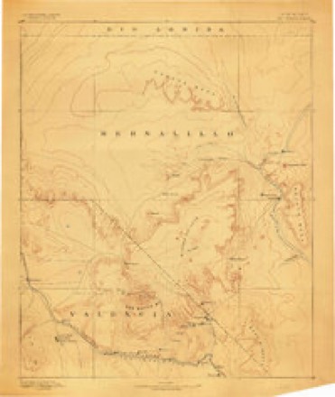
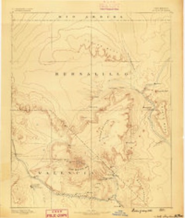
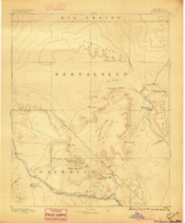
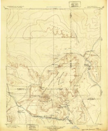
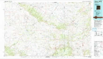
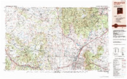
18 topographic sheets cover this place, the earliest surveyed in 1883 and the latest in 1983. It stands in the Crownpoint census division. It lies in ZIP code area 87013. It lies near Lone Pine Tree Hill. The Survey maps it on the Hospah quadrangle.
Topographic sheets covering this place
10 surveys from 18 printed sheetsMatched by testing this settlement's coordinate against the published boundary of every sheet in the United States Geological Survey's historical collection. Each opens the scanned sheet at the Survey.
- 1883 USGS Mt. Taylor quadrangle1:250000
- 1886 USGS Mt. Taylor quadrangle1:250000
- 1892 USGS Mt. Taylor quadrangle1:250000
- 1899 USGS Mt. Taylor quadrangle1:250000, 5 printings
- 1958 USGS Albuquerque quadrangle1:250000
- 1961 USGS Hospah quadrangle1:24000, 2 printings
- 1962 USGS Albuquerque quadrangle1:250000
- 1963 USGS Albuquerque quadrangle1:250000, 3 printings
- 1977 USGS Chaco Mesa quadrangle1:100000, 2 printings
- 1983 USGS Albuquerque quadrangle1:250000
Storms near this place
4 since 2016Regional context, not property-specific evidence. The National Weather Service names Hospah in 4 storm reports between 2016 and 2019: 3 tornado, 1 flash flood. No death or injury is recorded in these reports. Each account below is quoted exactly as the forecast office filed it, from the NOAA Storm Events Database, and each date opens the federal record of that event.
| When | Event | Place named | Harm | What the report says |
|---|---|---|---|---|
| February 2019 | Tornado (EF0) | Hospah | - | An observer captured a convective snow shower producing a weak landspout tornado, or snowspout, several miles over extreme eastern McKinley County. No damage was reported. |
| May 2019 | Tornado (EF0) | Hospah | - | A brief landspout tornado was observed 15 miles east-southeast of Crownpoint. |
| August 2016 | Flash Flood | Hospah | - | Roadways turned to a flooded, muddy mess south of Hospah. |
| August 2016 | Tornado (EF0) | Hospah | - | A landspout tornado touched down briefly near Ojo Encino. No damage occurred. |
Nearest settlements
The eight closest, with where each one stands in the county. Distances are straight-line, computed from the Geographic Names Information System coordinates.
| Map | Place | Distance | Sheets |
|---|---|---|---|
| Whitehorse | 5.2 miles | 18 | |
| Piedra de la Aguila | 10.4 miles | 17 | |
| Seven Lakes | 10.6 miles | 17 | |
| Leon | 13.7 miles | 17 | |
| Pueblo Pintado | 17.1 miles | 18 | |
| Borrego Pass | 17.8 miles | 14 | |
| El Dado | 19.4 miles | 17 | |
| Crownpoint | 21.8 miles | 13 |
Provenance
This settlement is recorded in the Geographic Names Information System as feature 898796. The sheet list is computed by point-in-boundary test against the United States Geological Survey's historical topographic inventory. Both are works of the United States government and carry no copyright under 17 U.S.C. 105.
Storms. NOAA National Centers for Environmental Information, Storm Events Database https://www.ncei.noaa.gov/stormevents/ A work of the United States government, no copyright under 17 U.S.C. 105. Narratives are quoted verbatim from the National Weather Service report and are not edited or summarised.