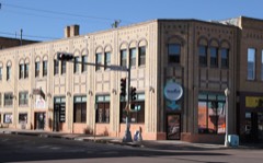
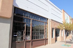
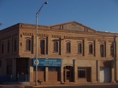
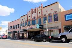
Block
From the record
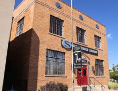
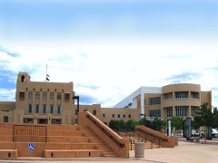
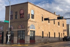
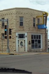
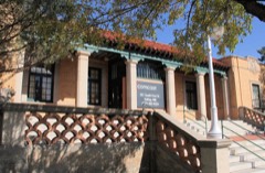
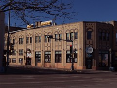
25 National Register listings published here.
Sources: the National Register database, National Park Service
142 topographic sheets and 8 fire insurance atlases across 1 place.
25 National Register listings published here.
Sources: the National Register database, National Park Service
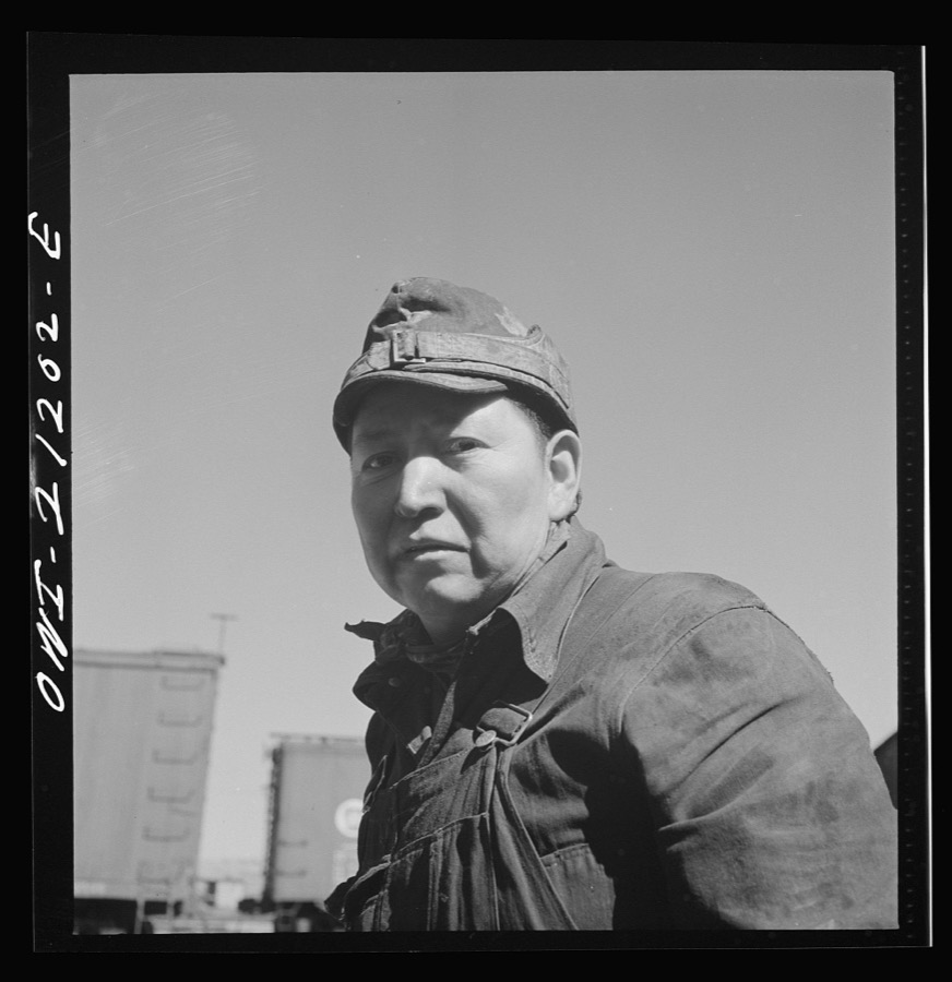
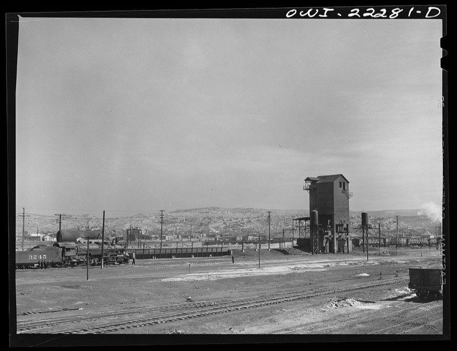
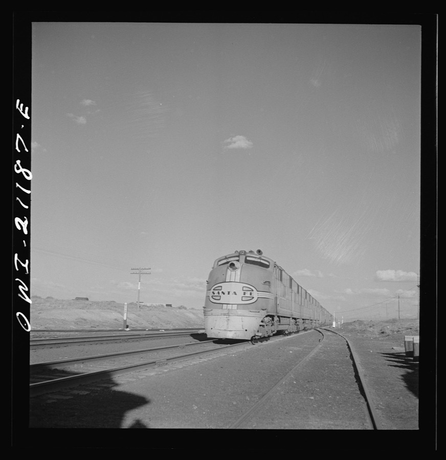
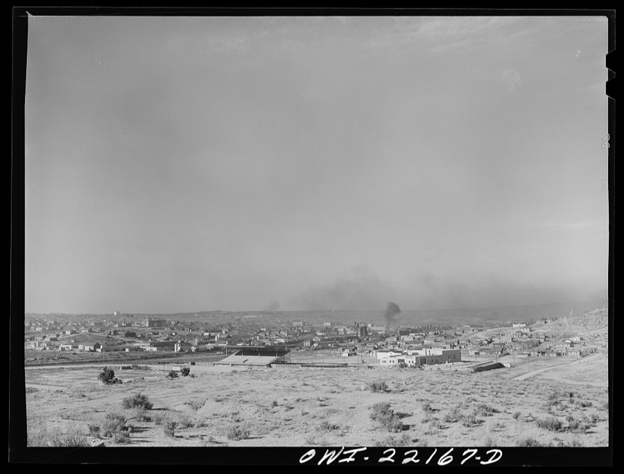
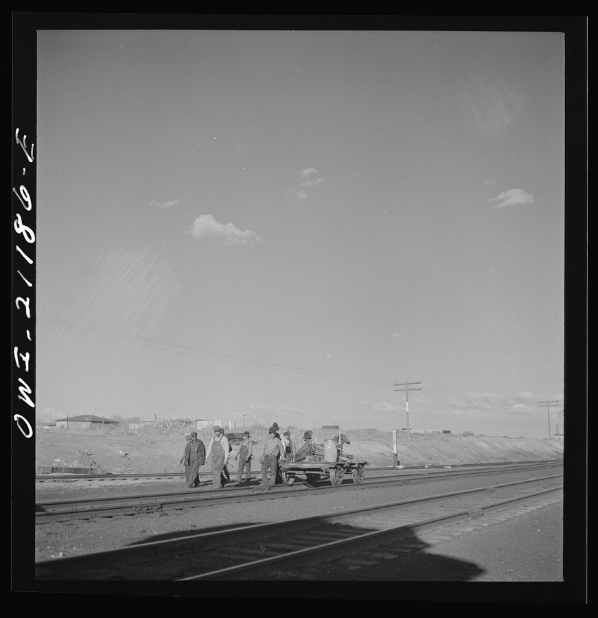
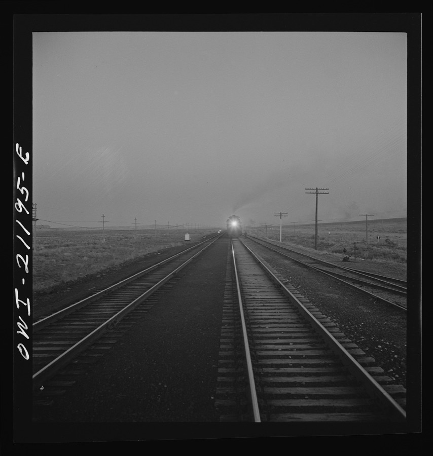
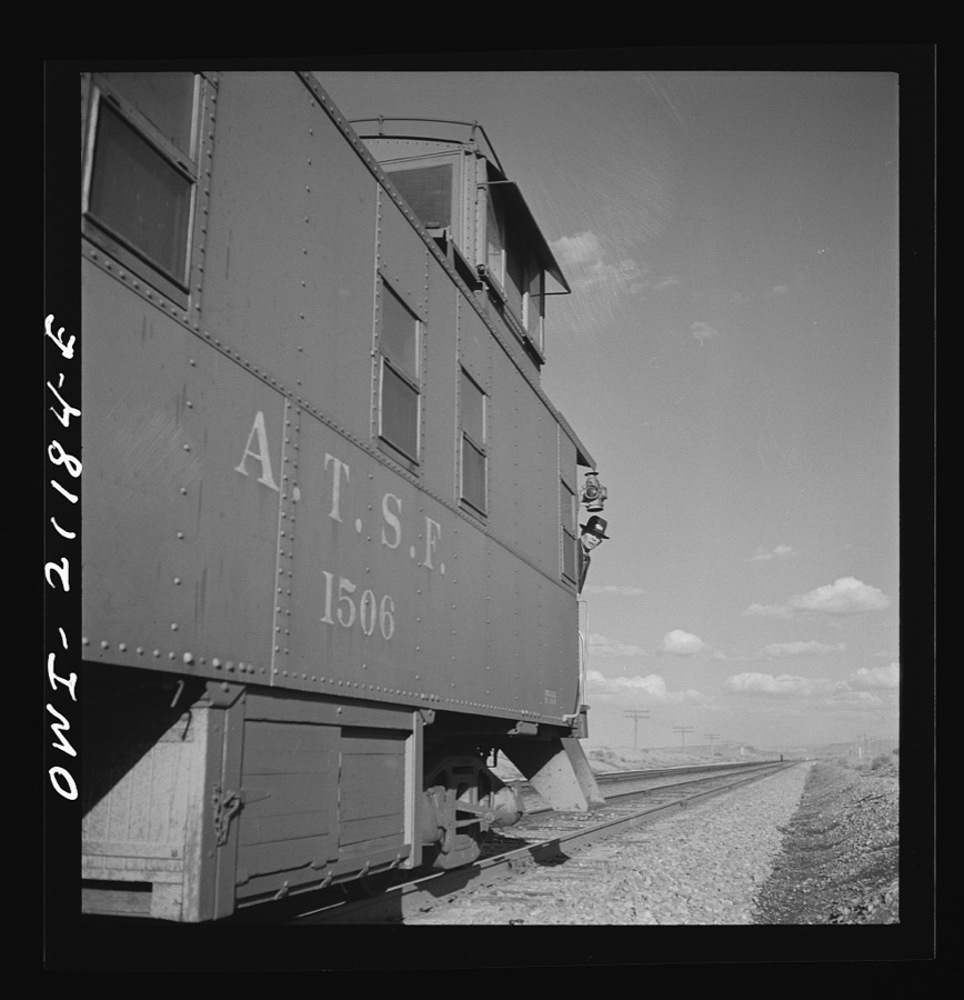
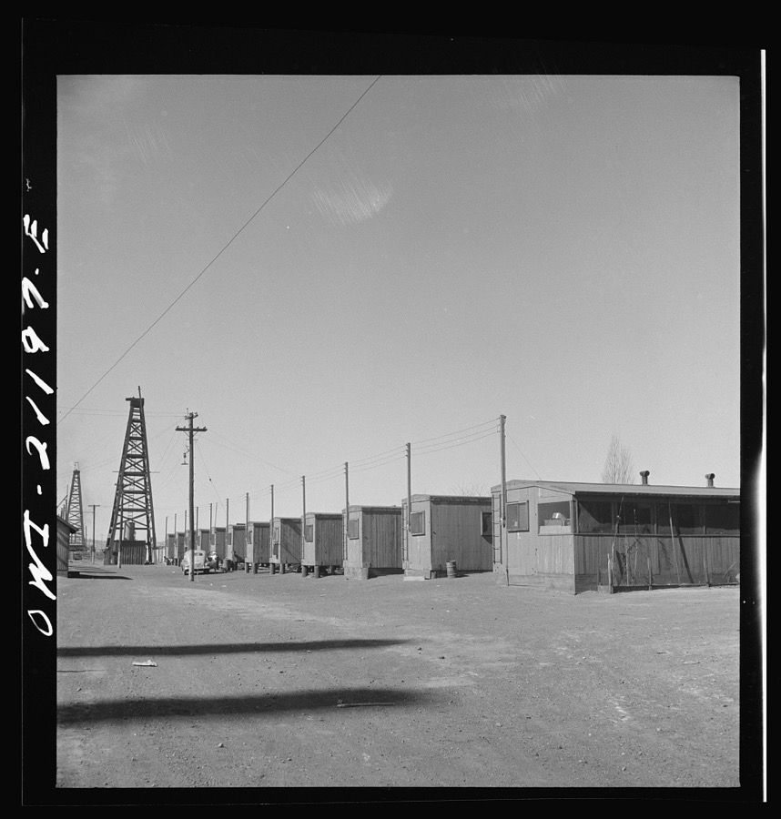
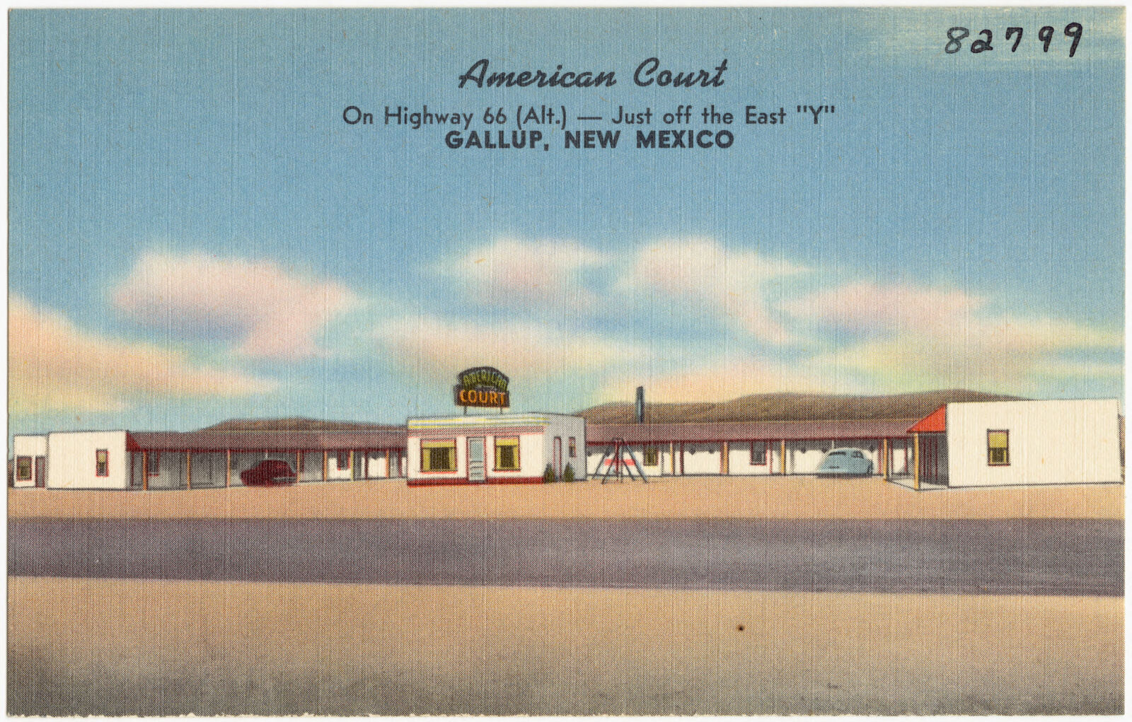
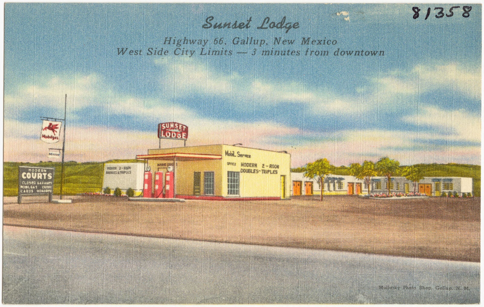
Taken for the Office of War Information and the Farm Security Administration, who photographed the country between 1935 and 1944. Works of United States government photographers, with no known restriction on use. Each opens its catalogue record.
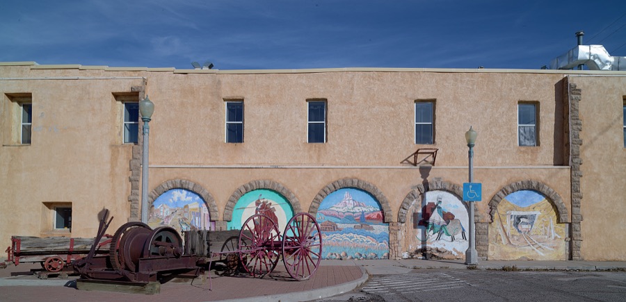
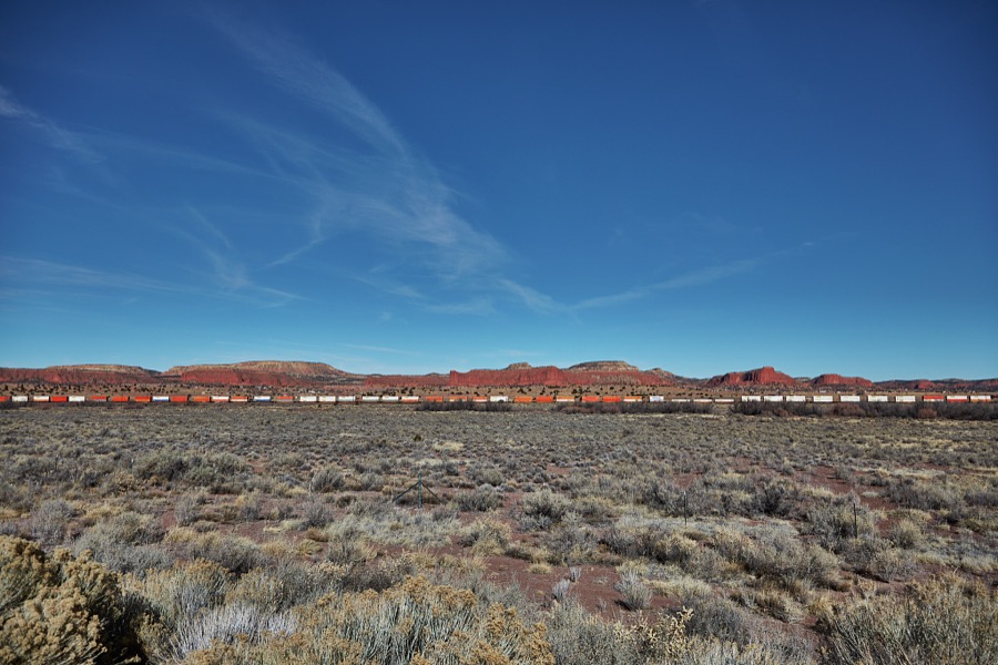
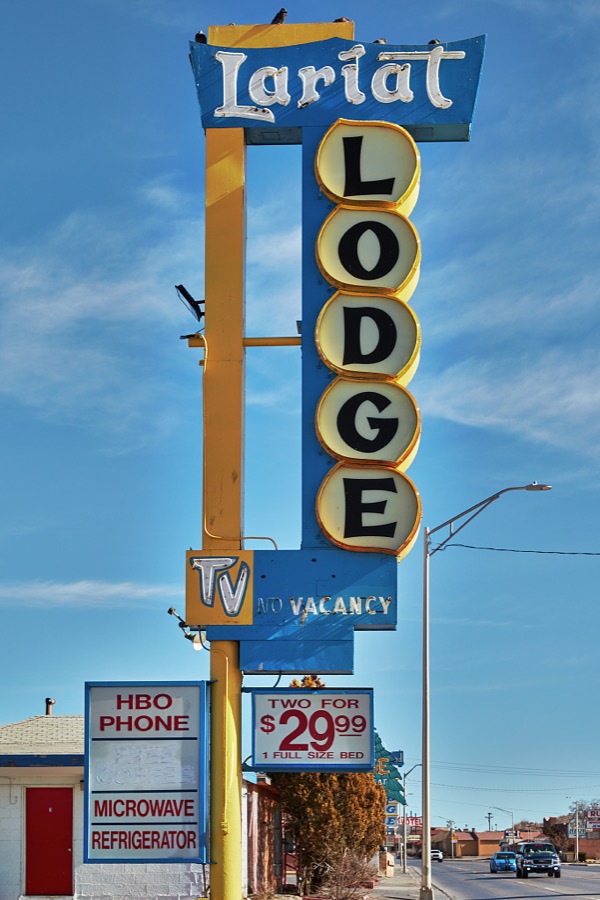
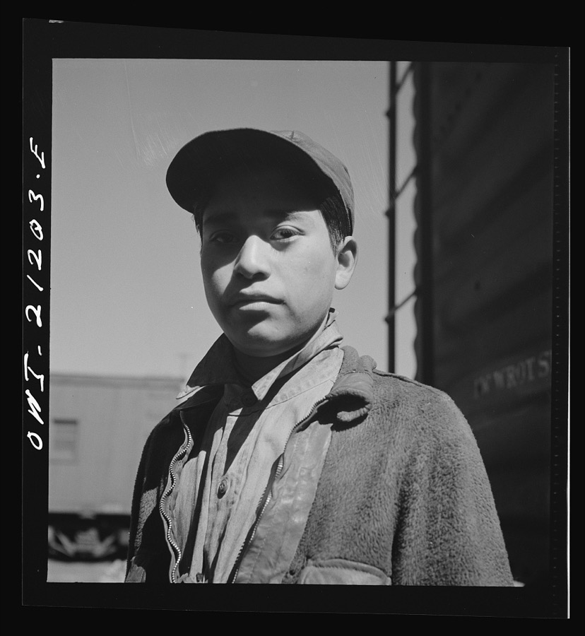
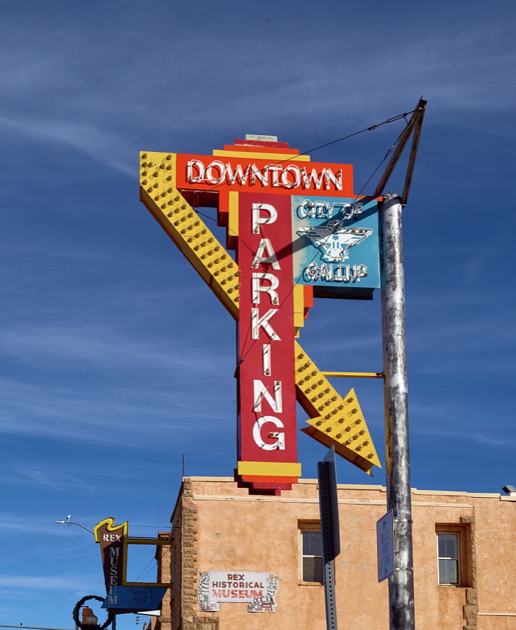
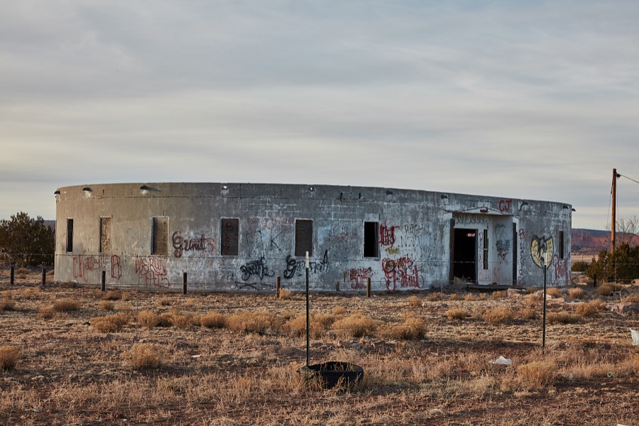
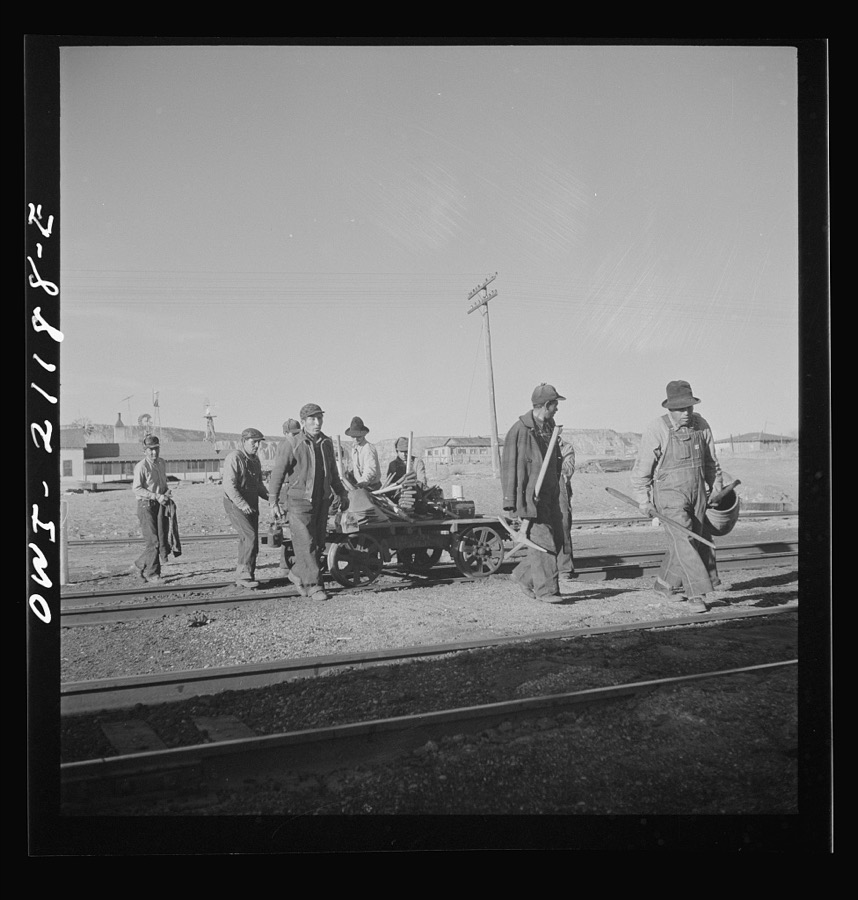
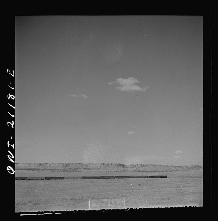
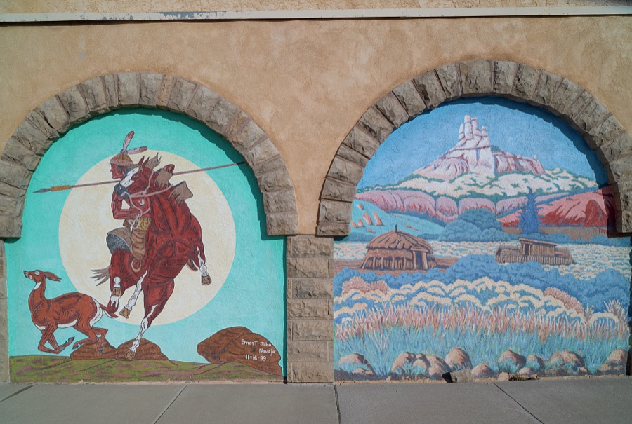
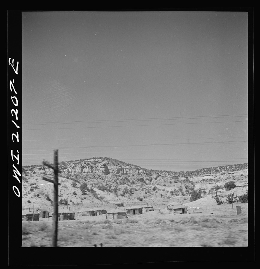
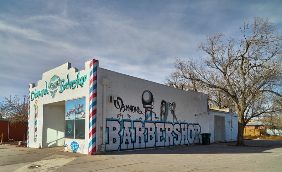
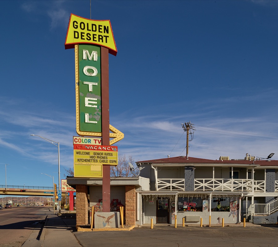
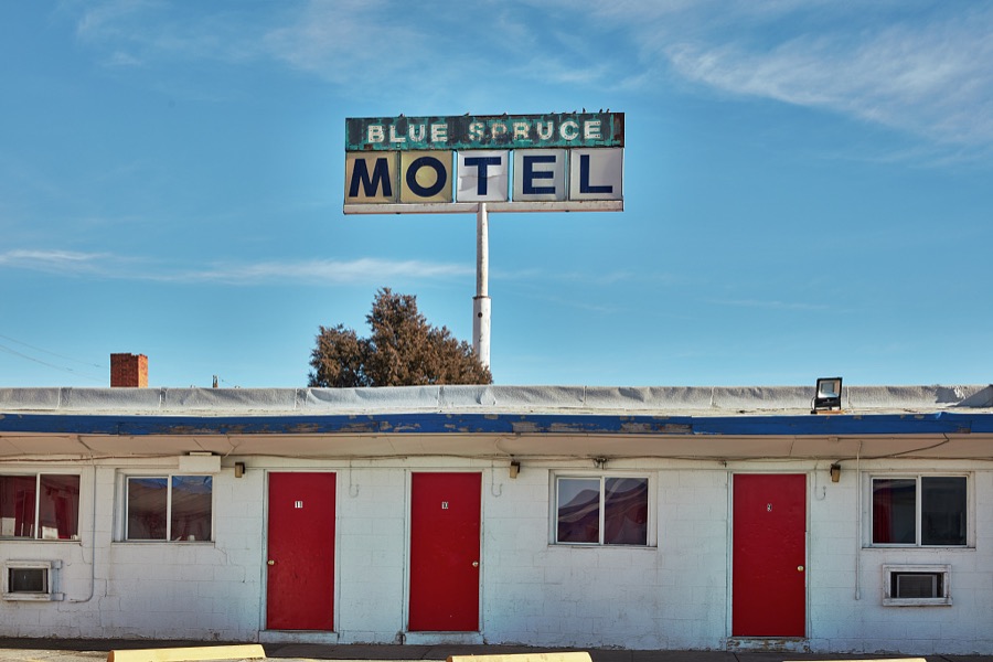
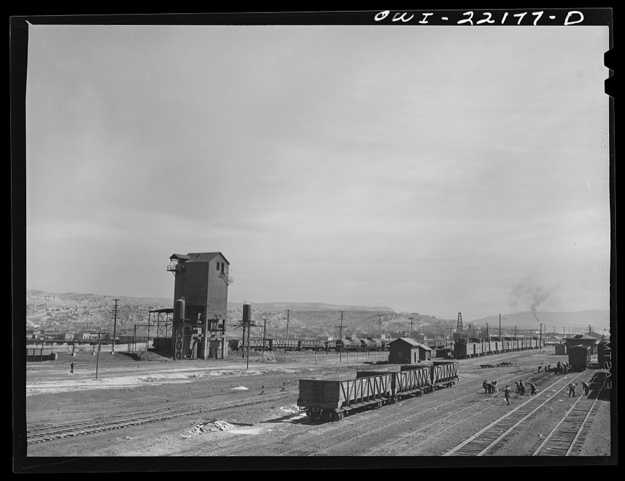
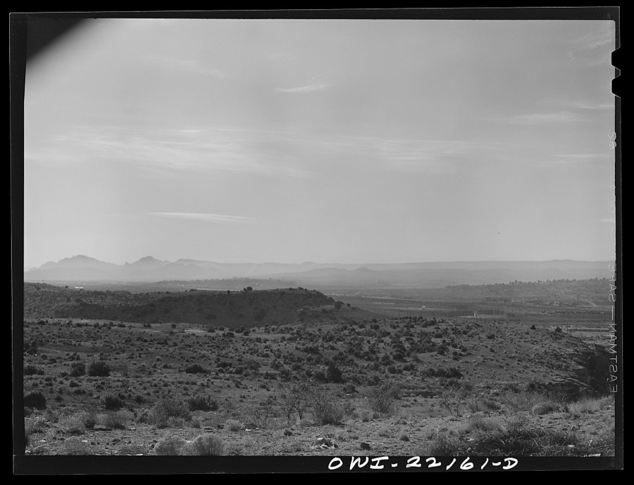
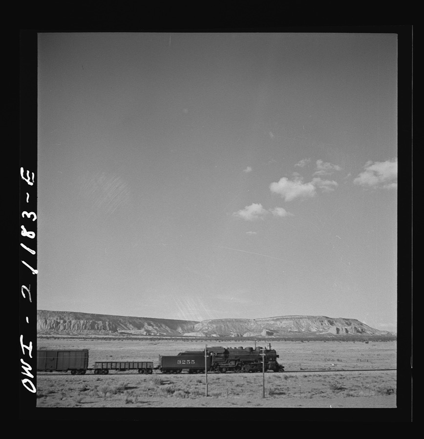
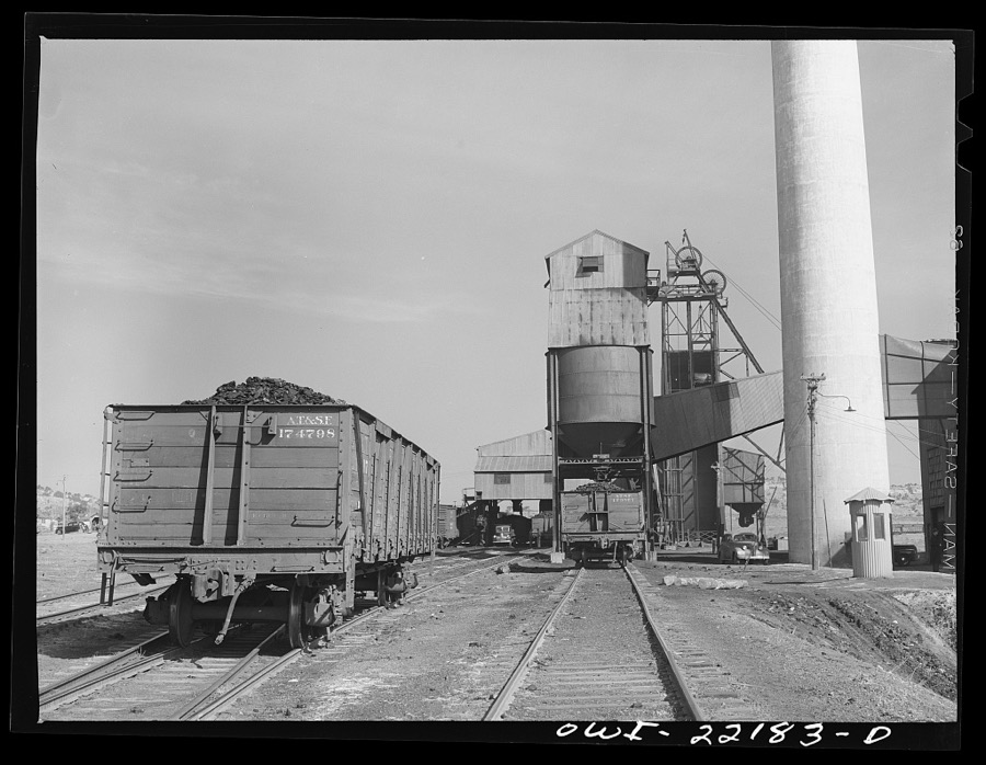
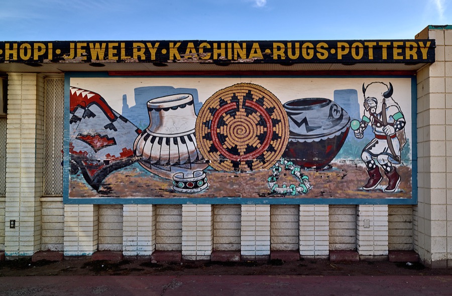
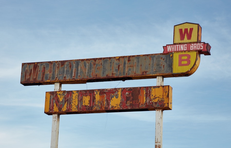
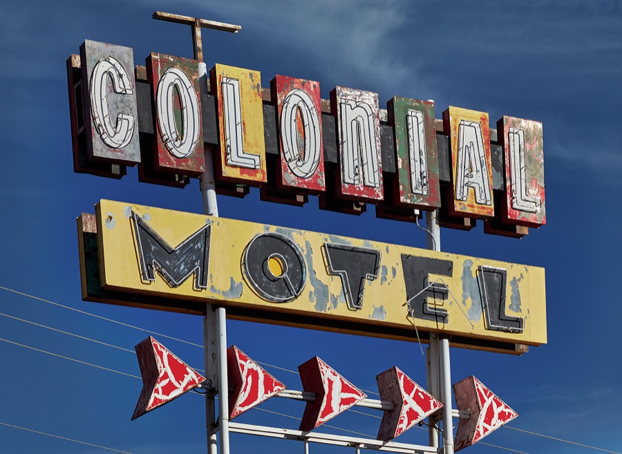
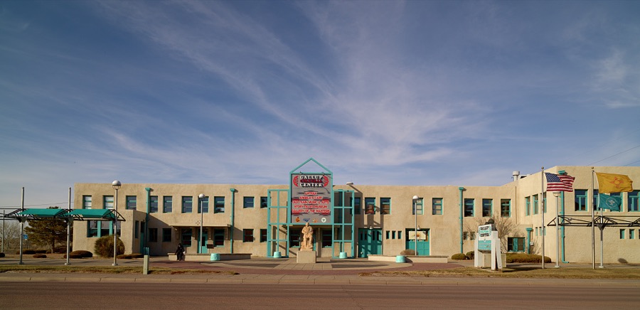
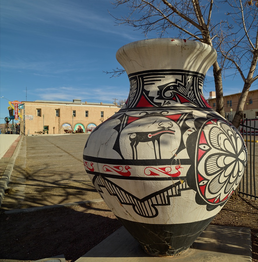
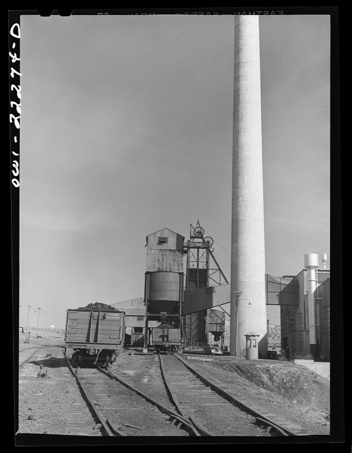
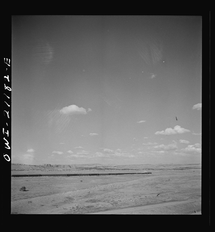
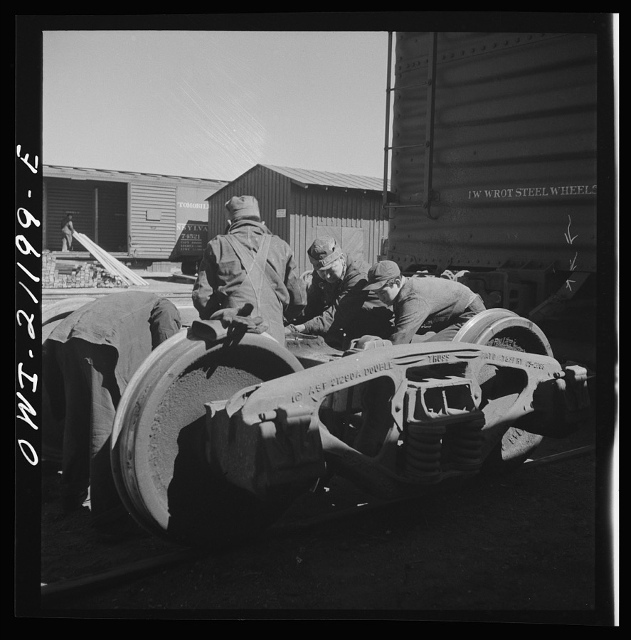
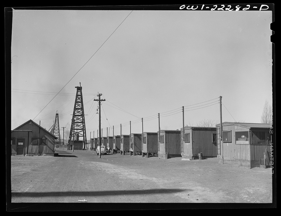
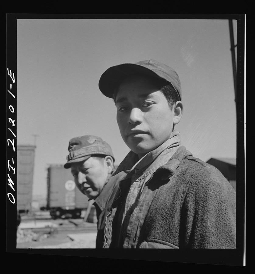
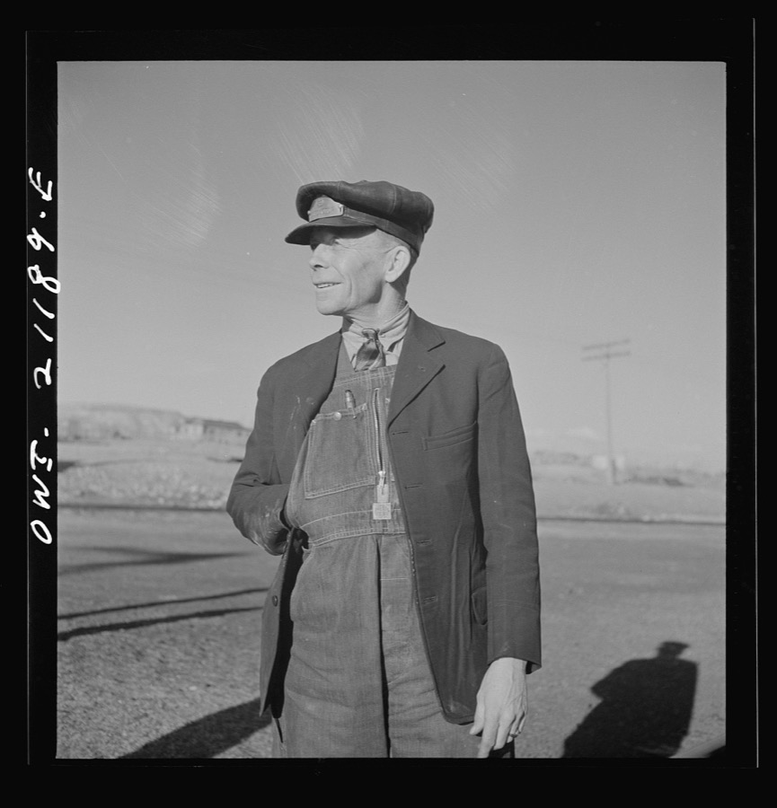
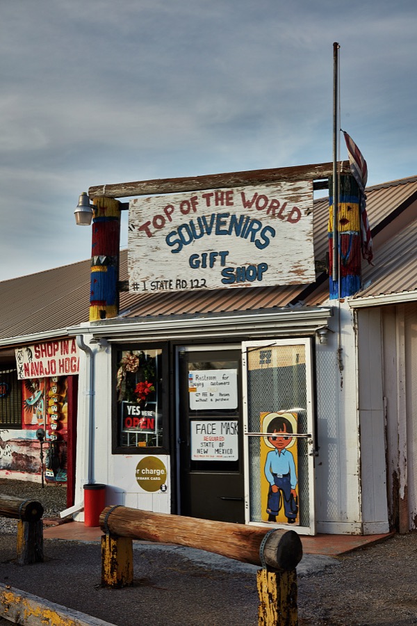
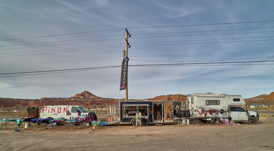
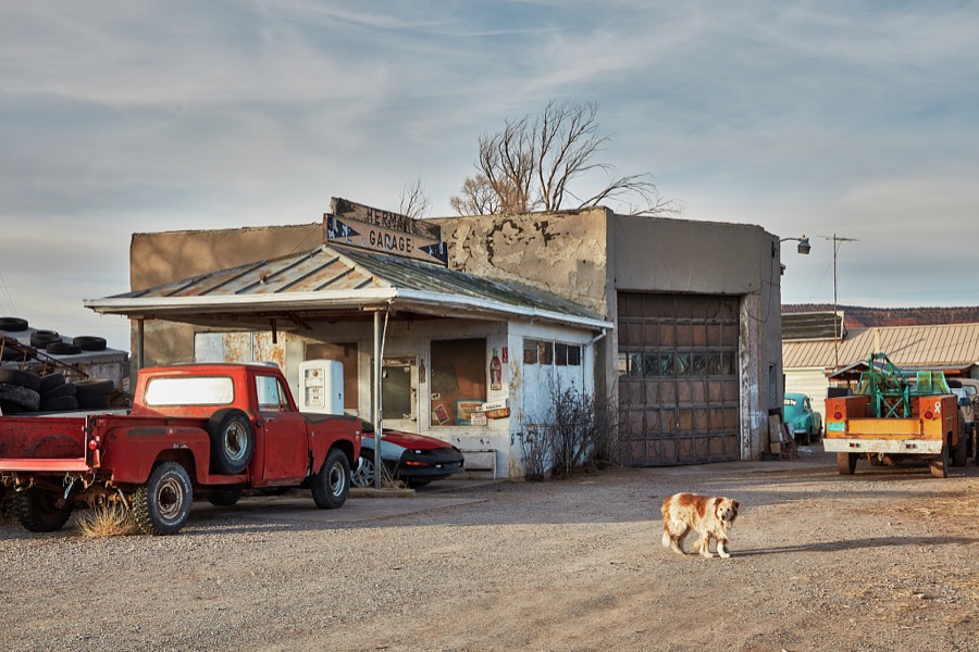
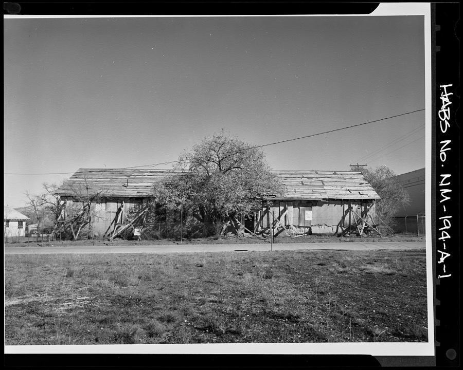
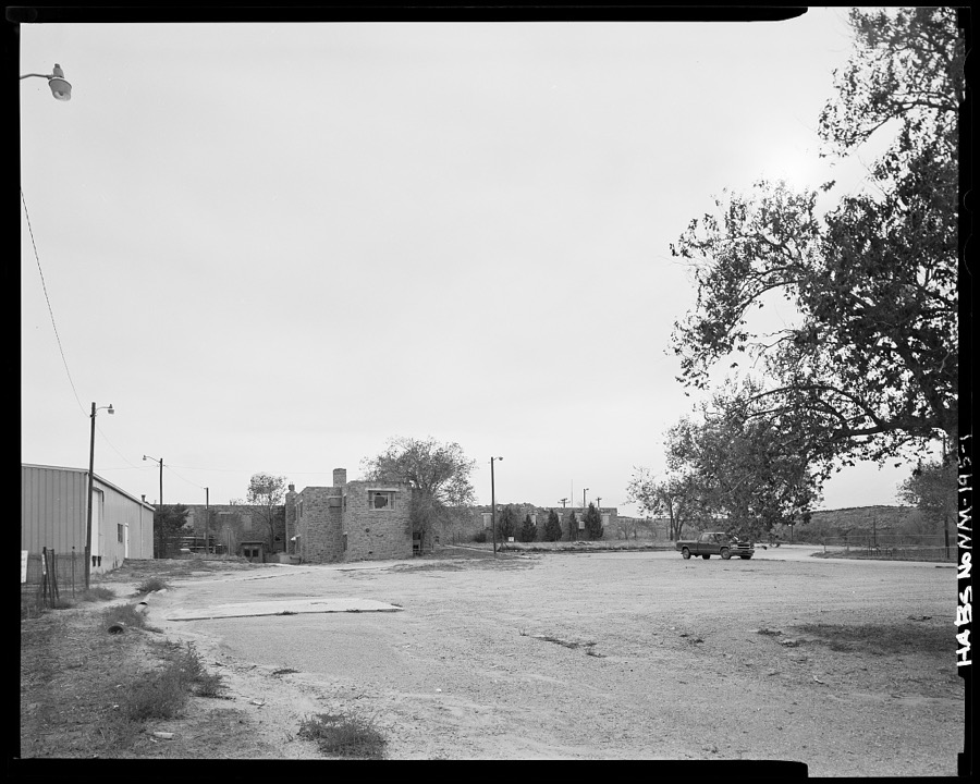
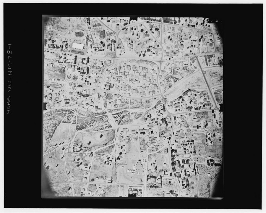
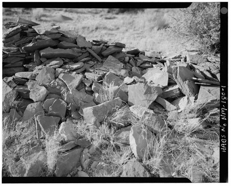
Every property in this county listed on the National Register of Historic Places, with the year it was listed and the federal nomination document.
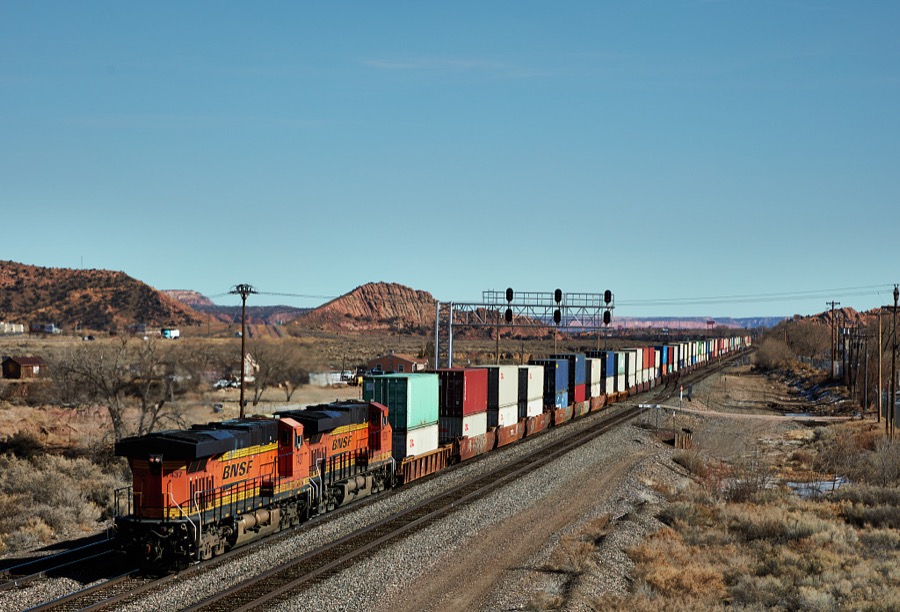
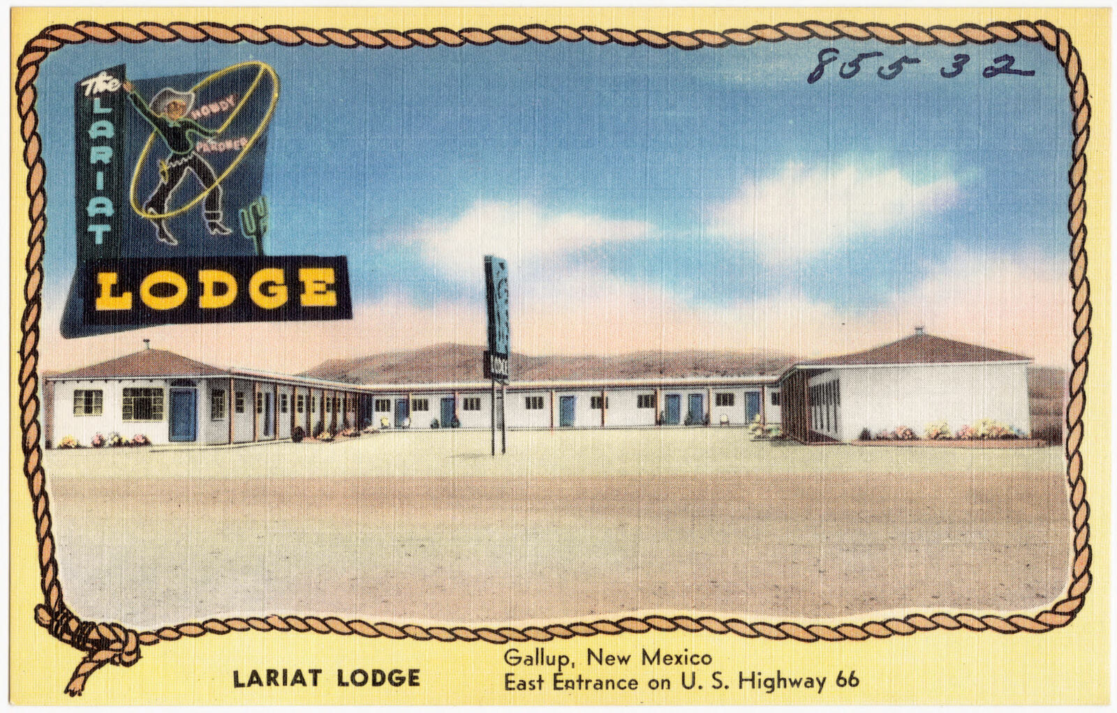
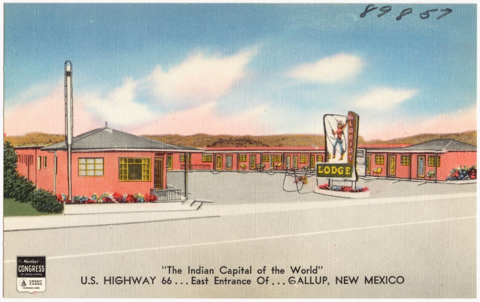
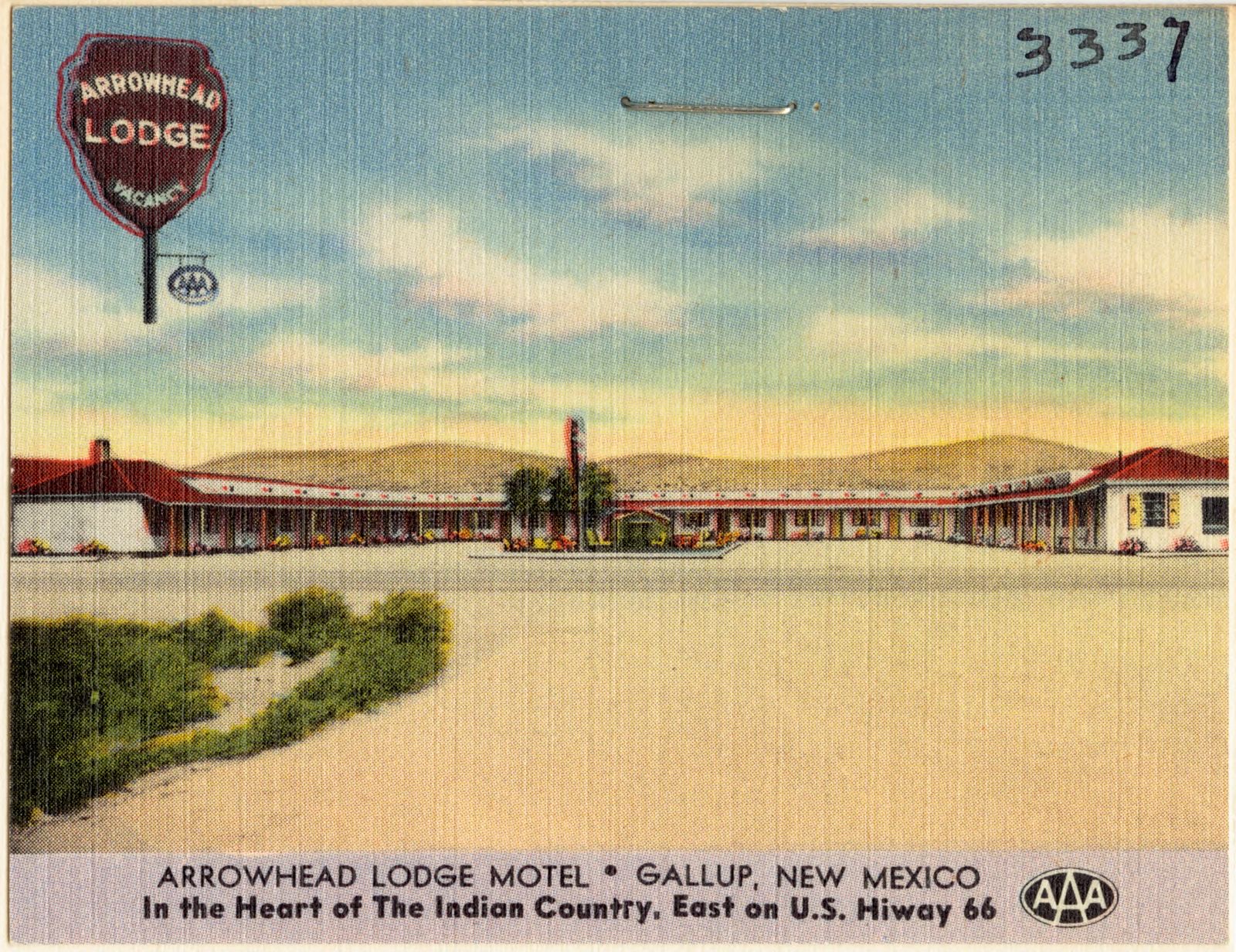
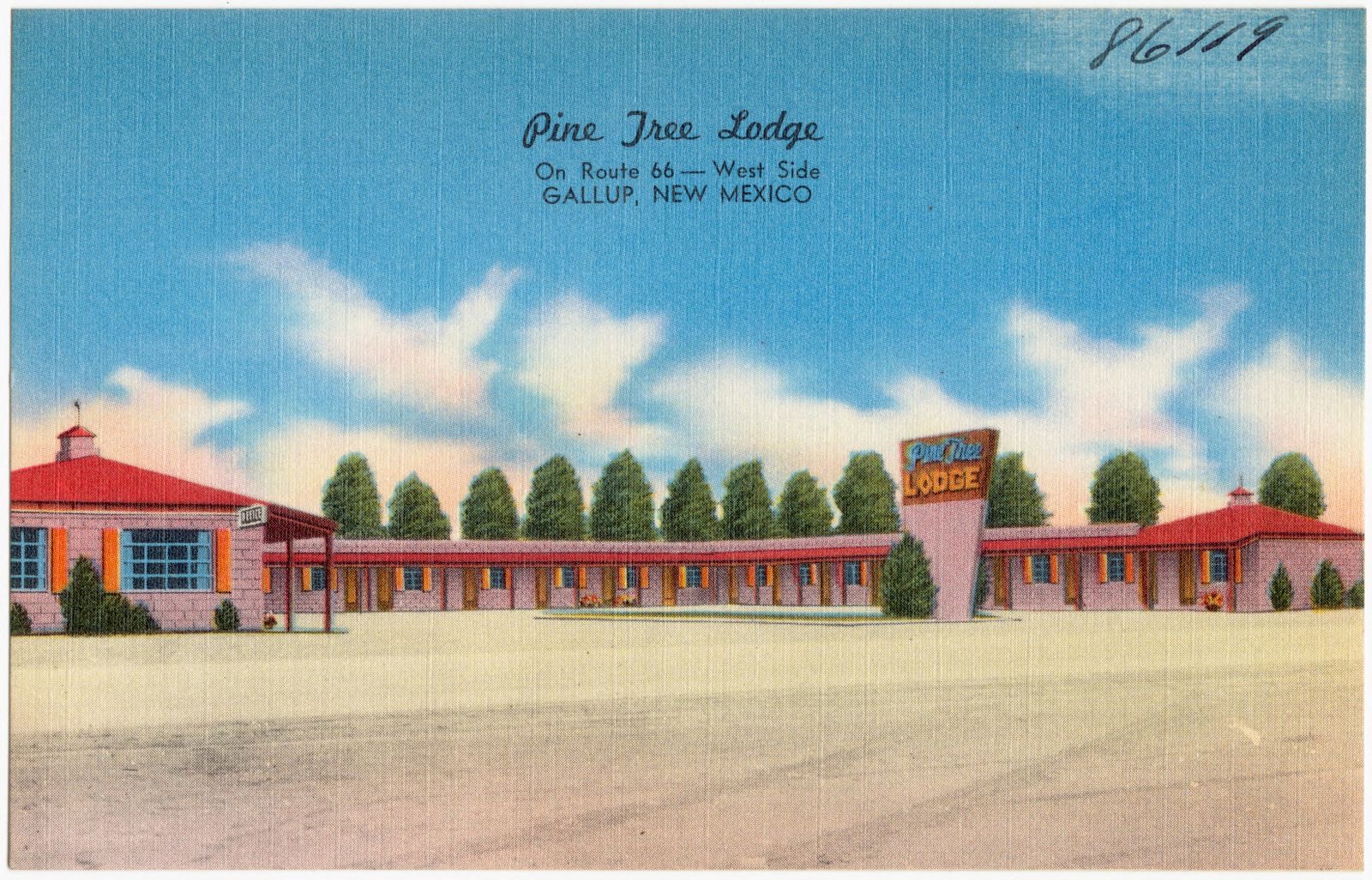
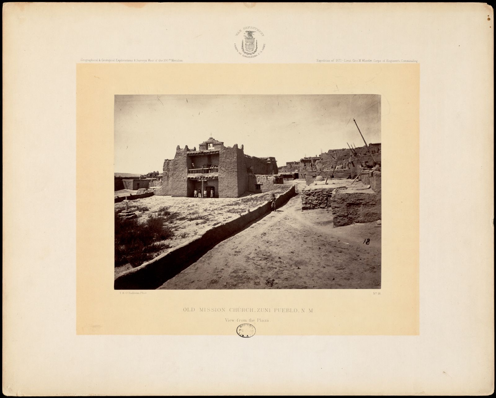
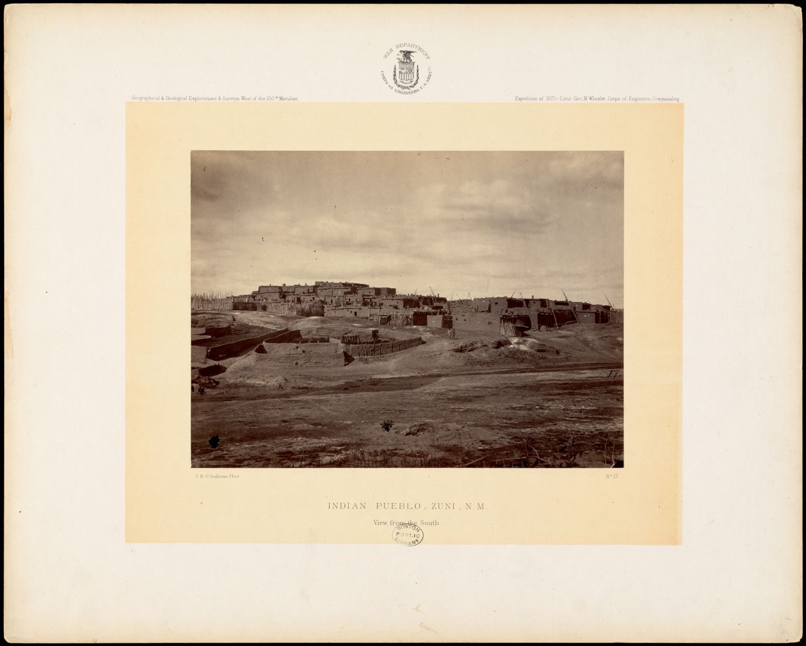
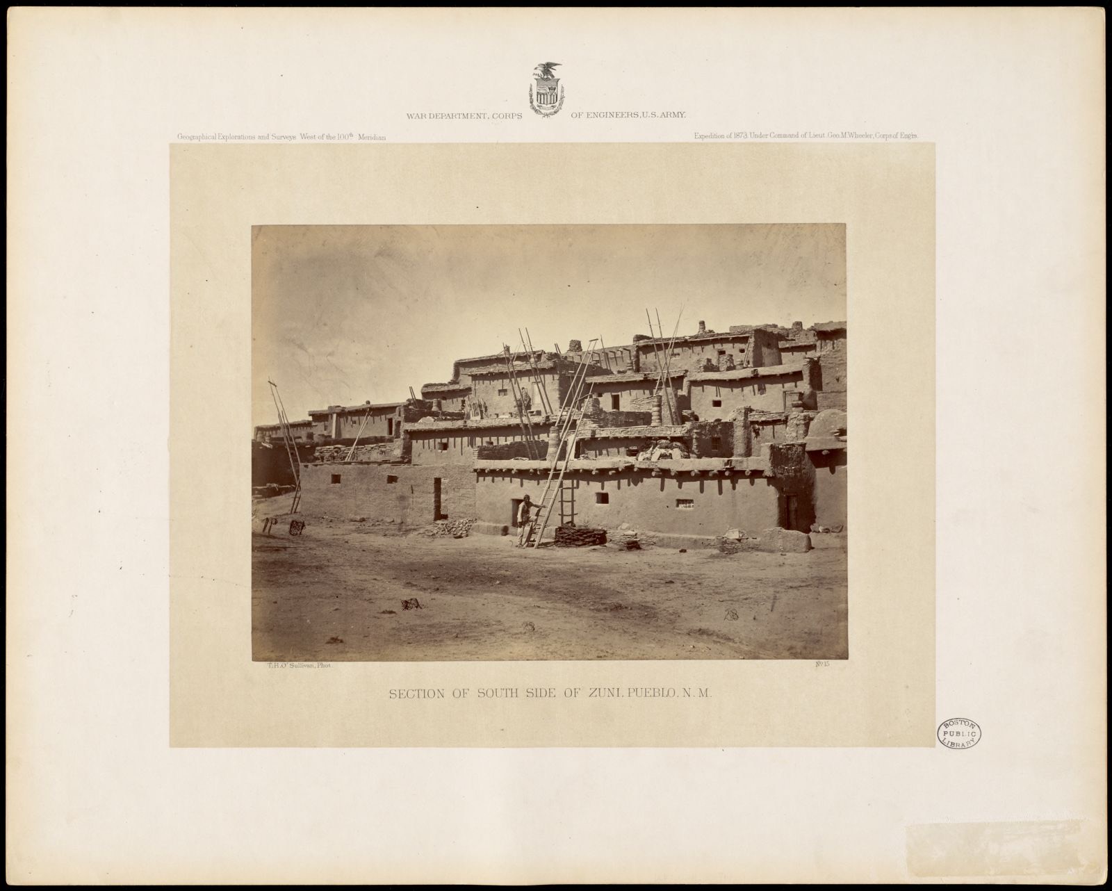
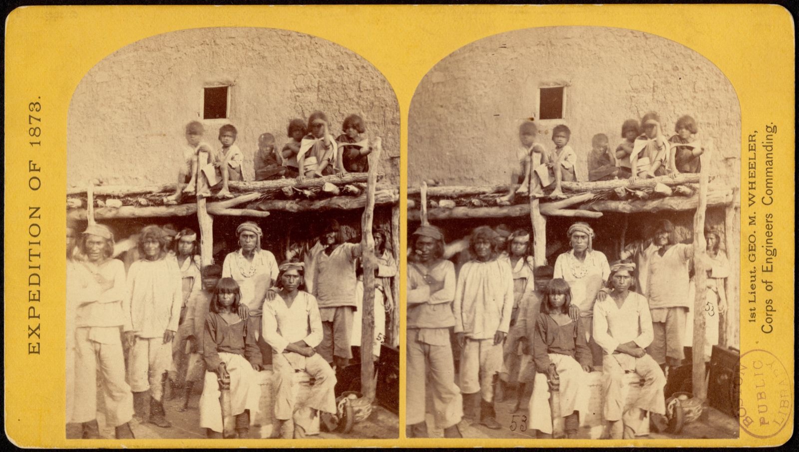
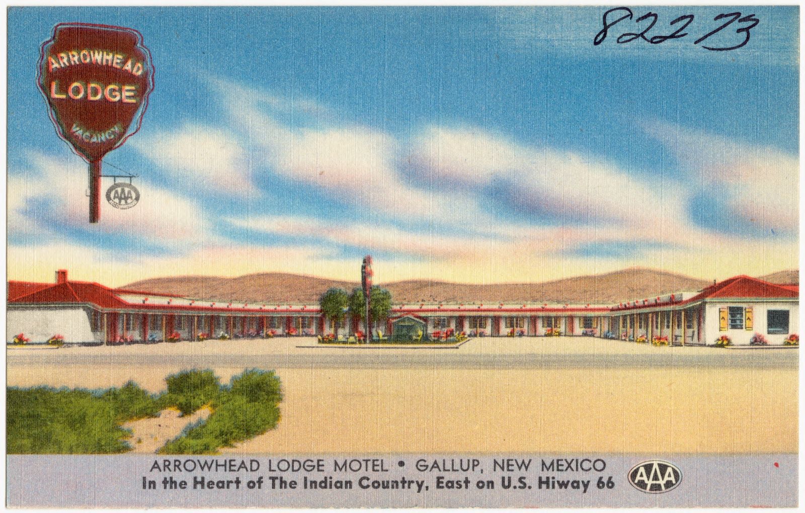
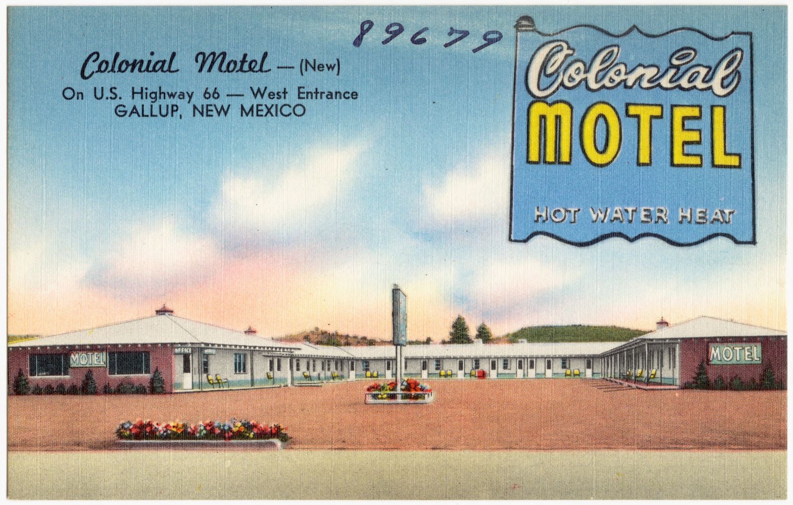
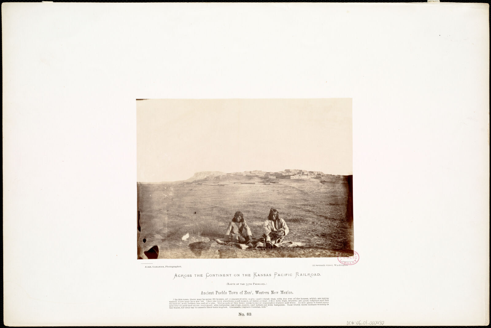
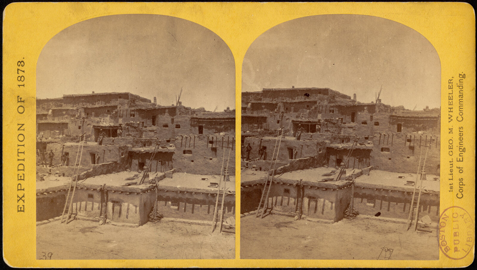
Selected from the Digital Public Library of America's 20 image records catalogued for this county. Every one shown here carries a public-domain status or a licence that permits reuse on a site that carries advertising; non-commercial, share-alike and restricted images are excluded. The selection is spread across the county's towns (at most eight per town), so no single institution's bulk upload crowds out the rest. Each opens the holding library's record, and the complete set at the Digital Public Library of America is one click away.
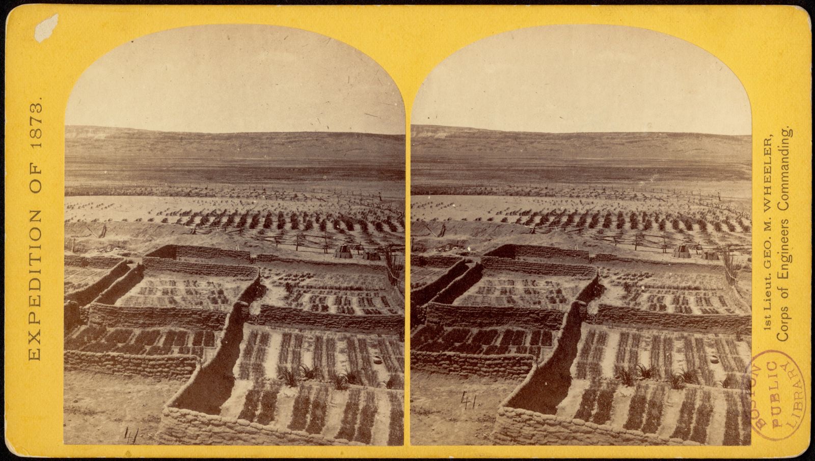
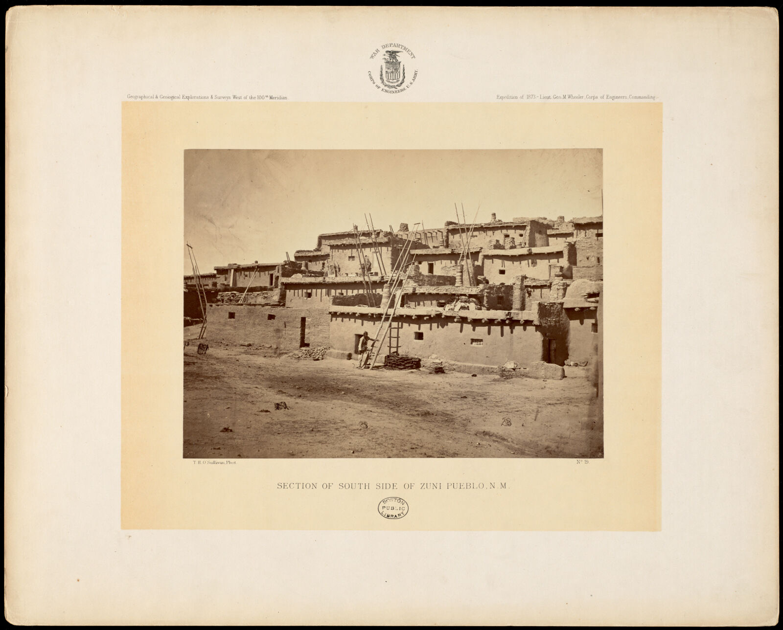
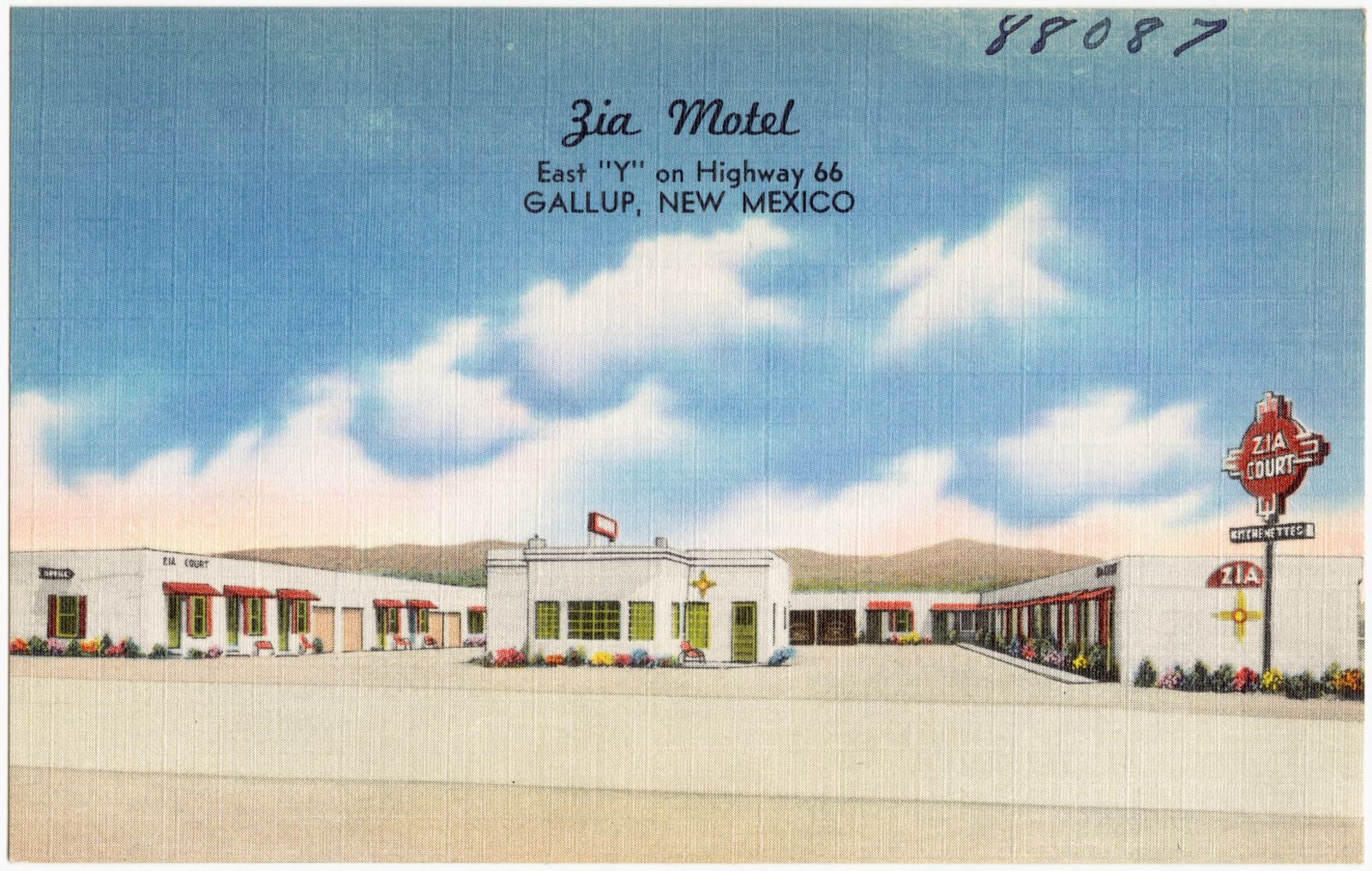
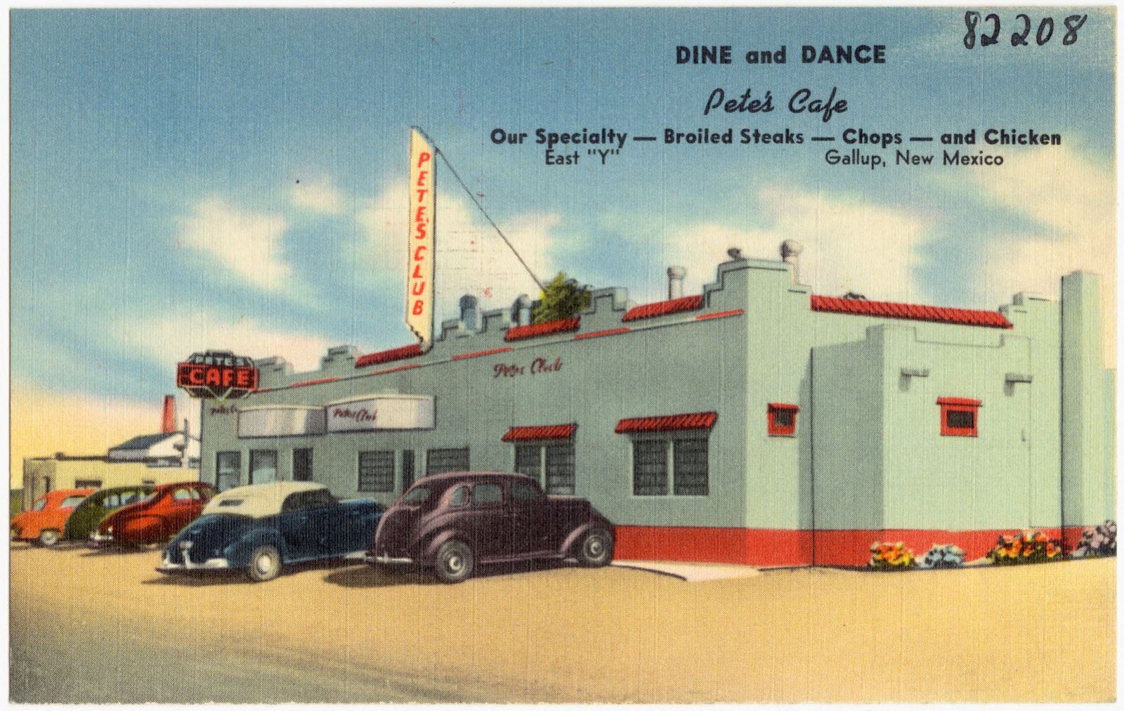
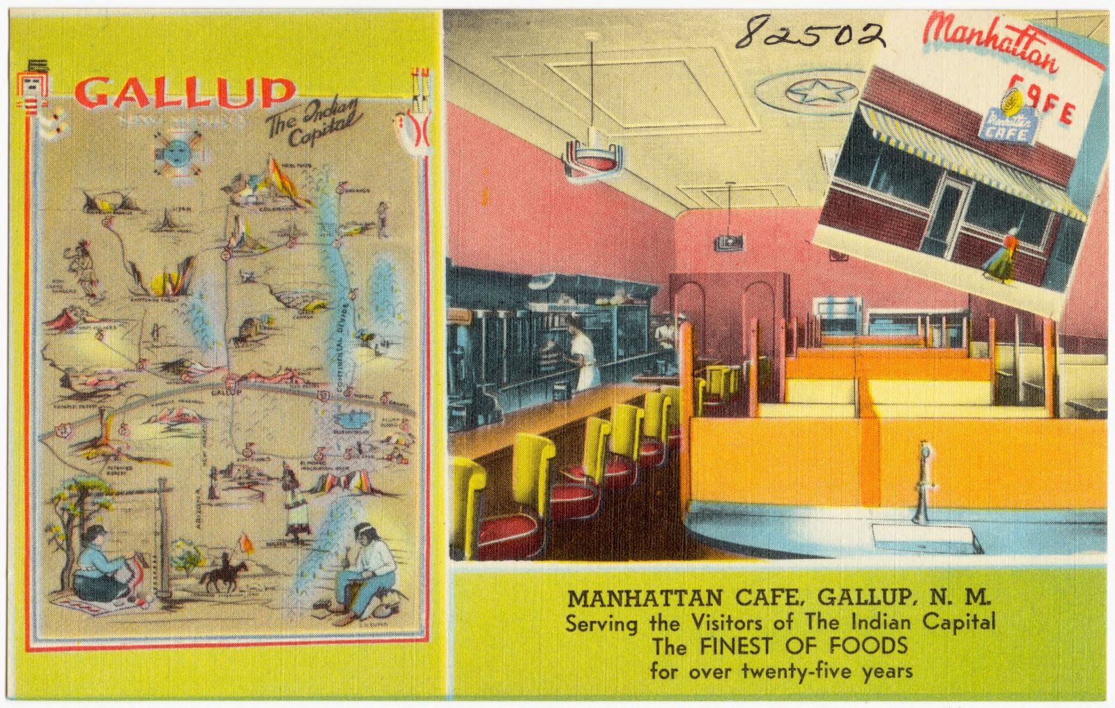
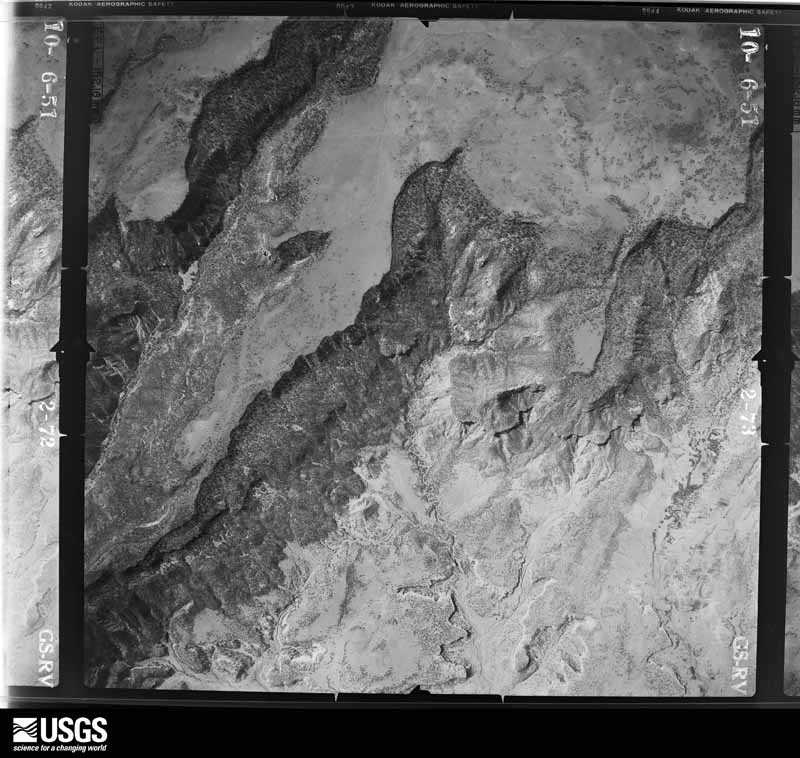
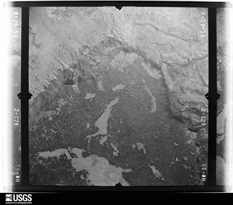
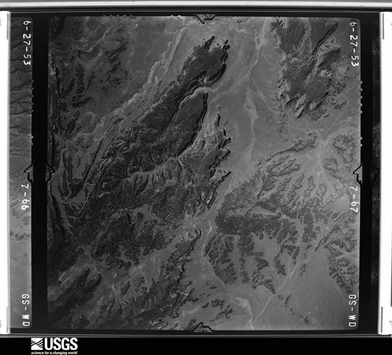
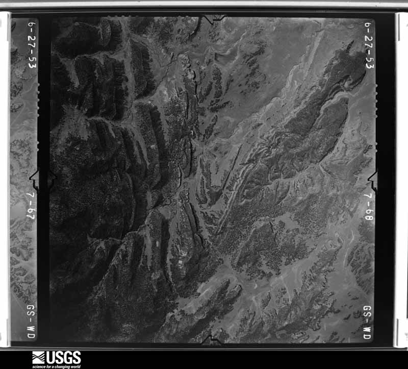
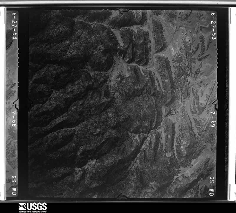
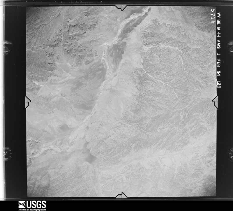
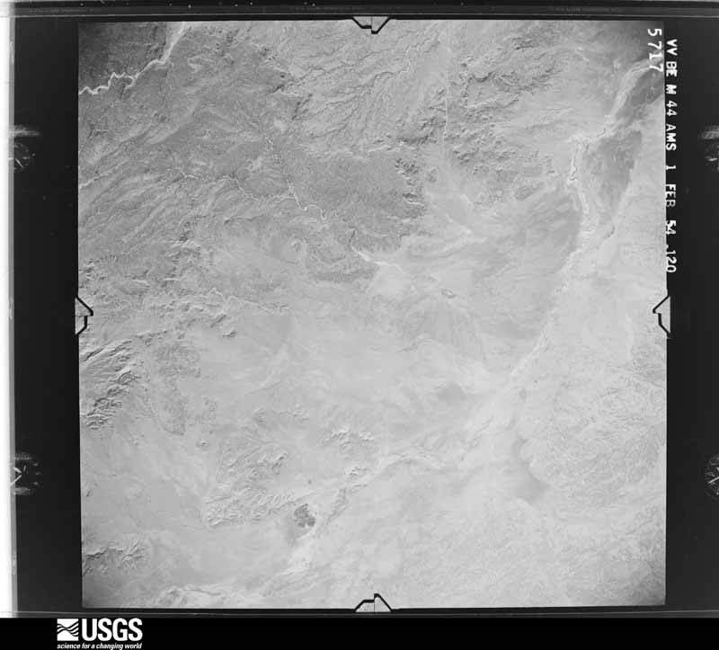
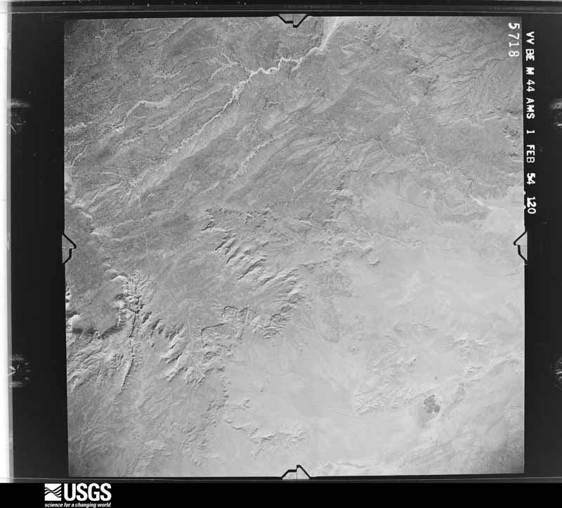
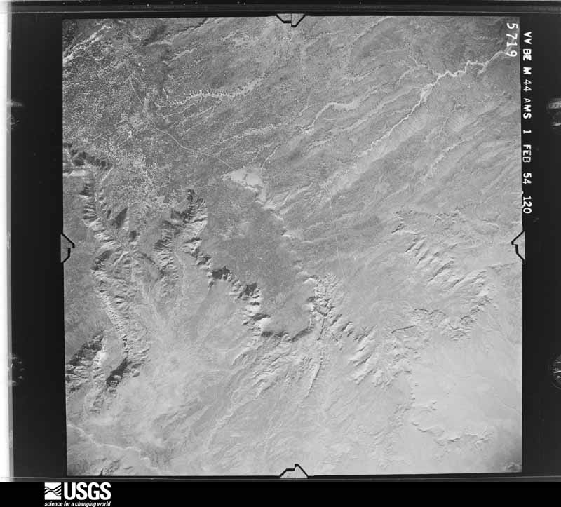
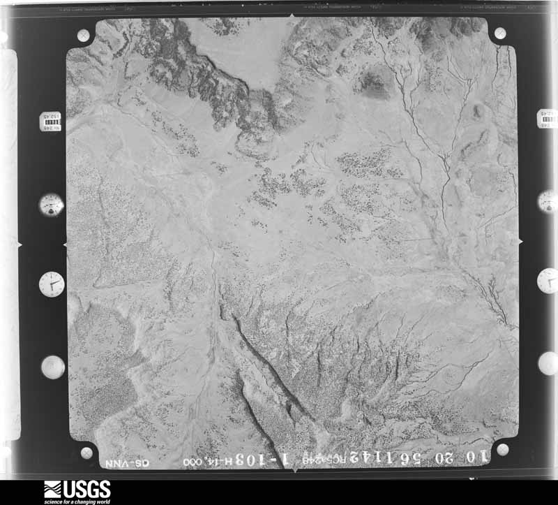
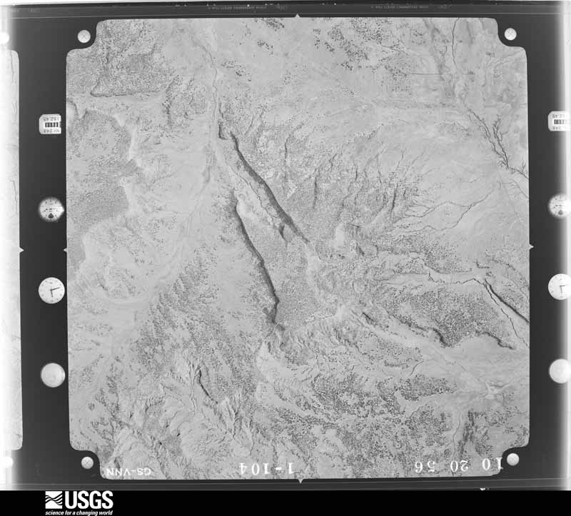
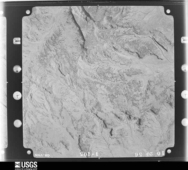
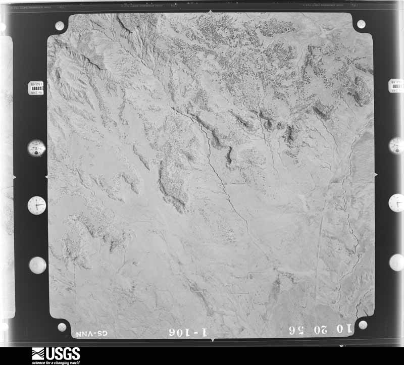
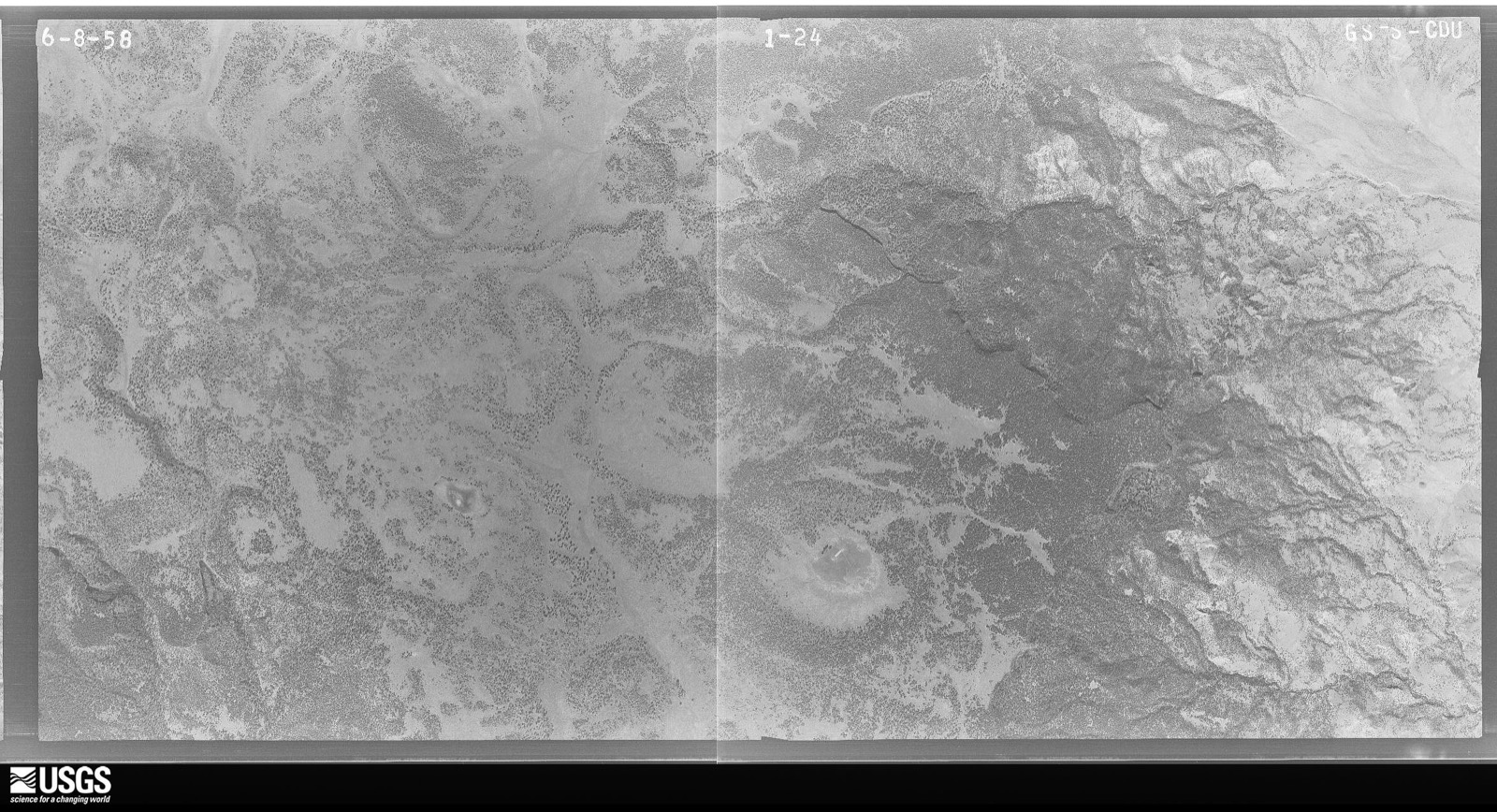
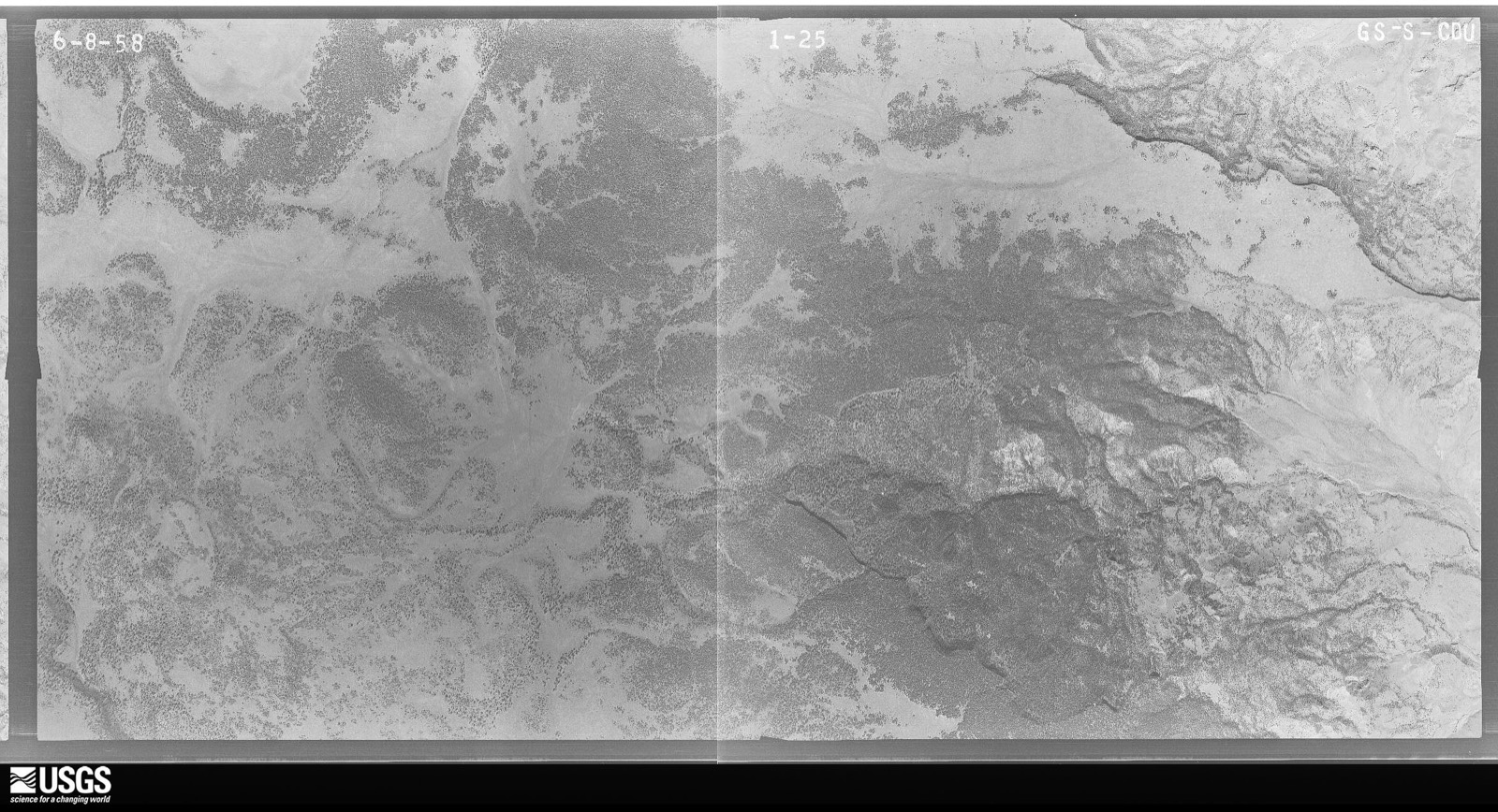
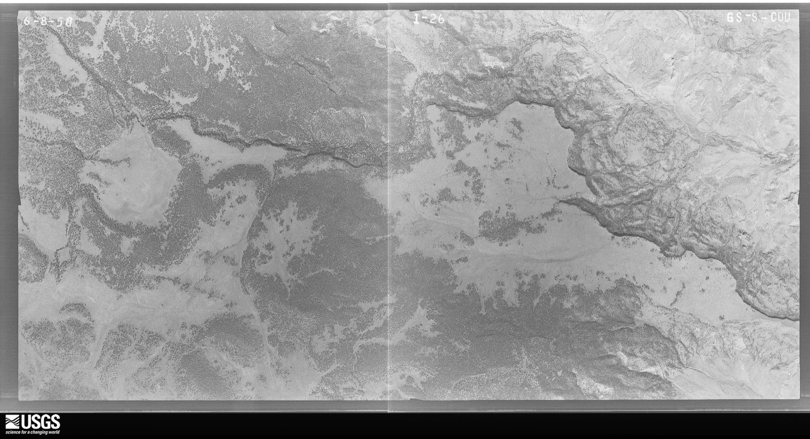
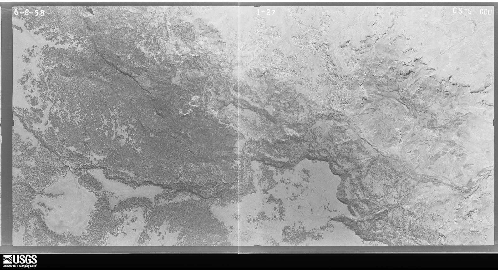
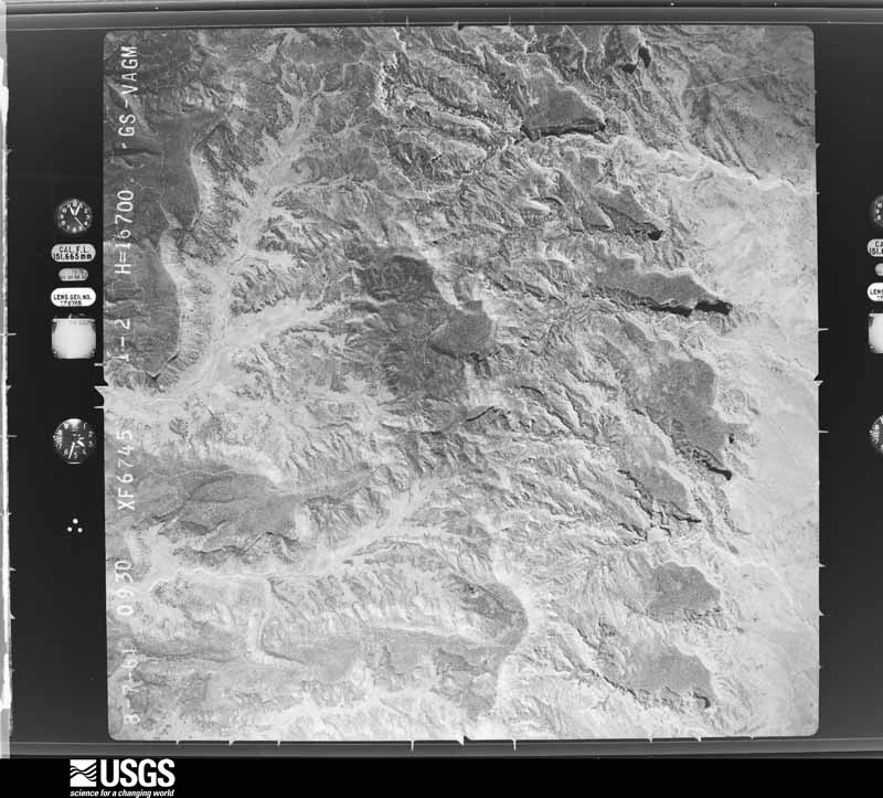
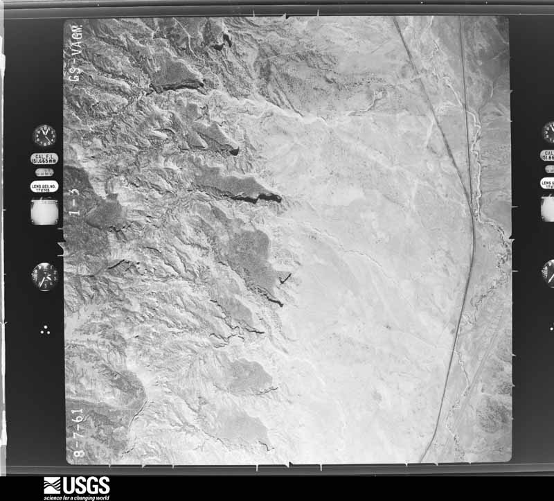
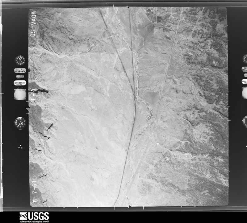
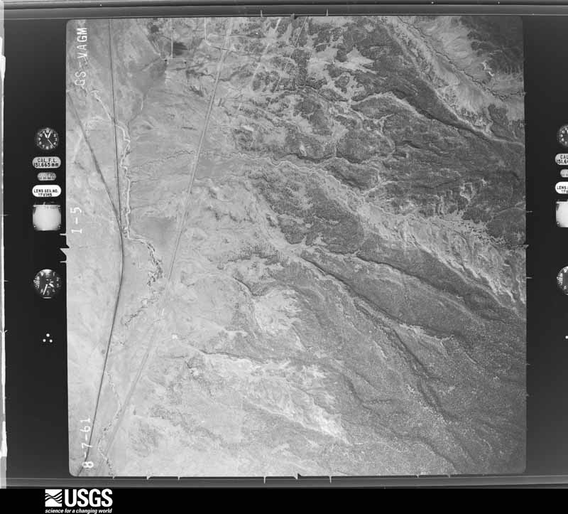
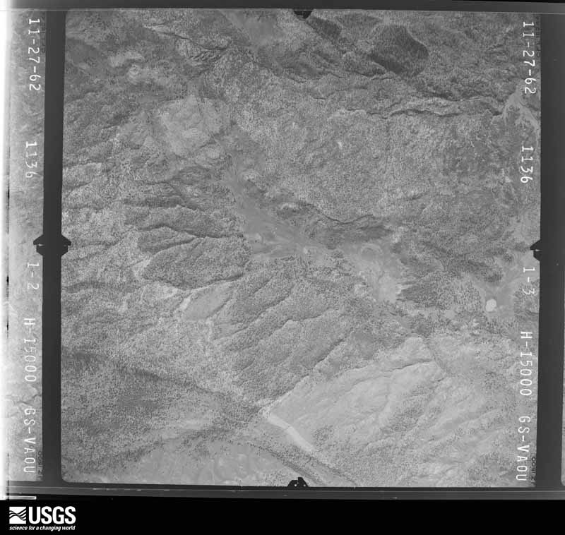
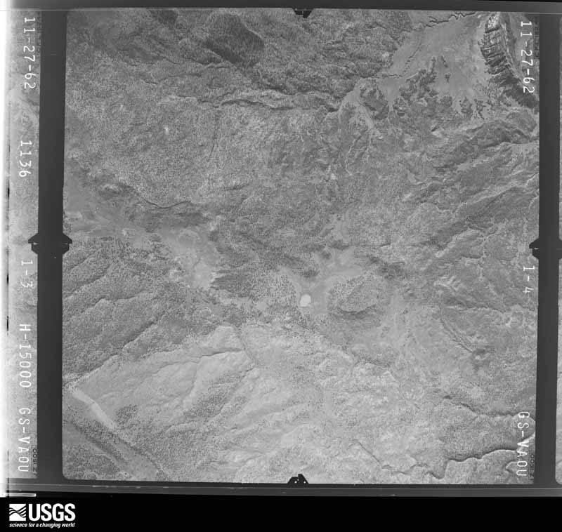
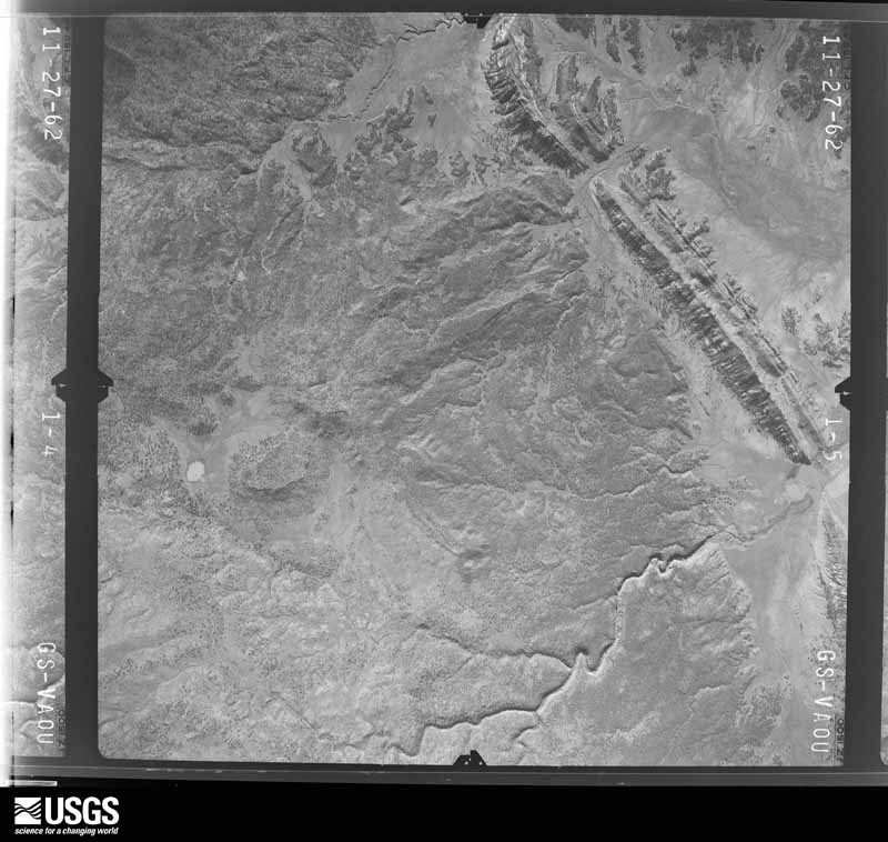
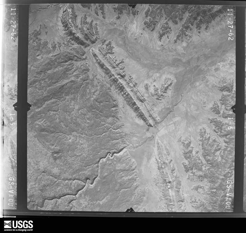
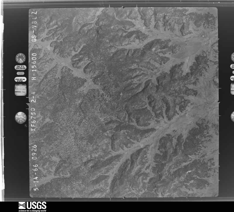
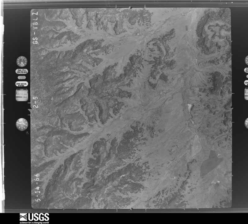
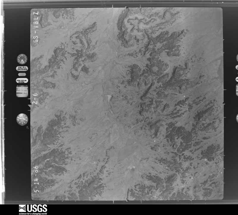
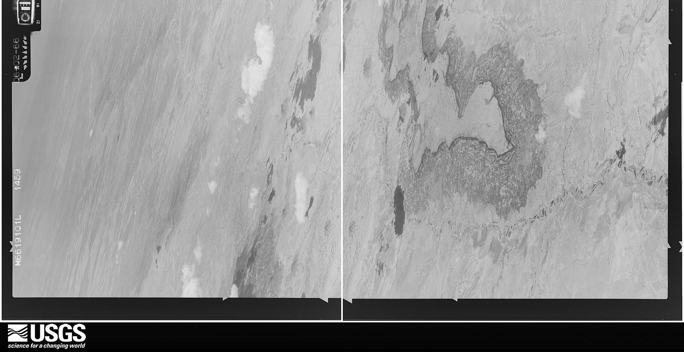
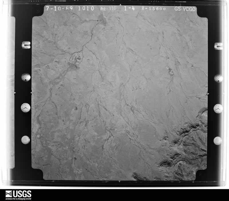
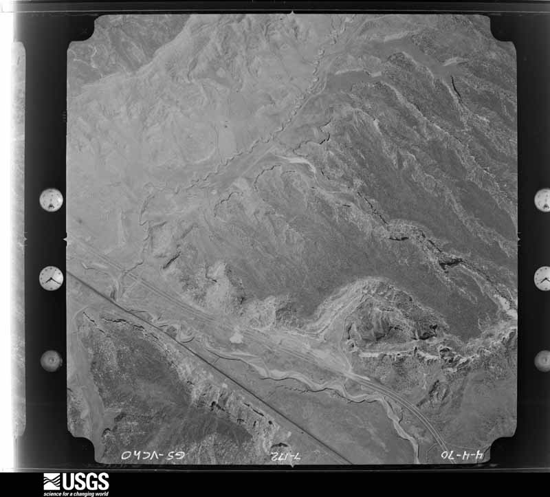
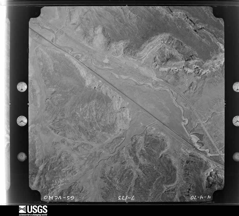
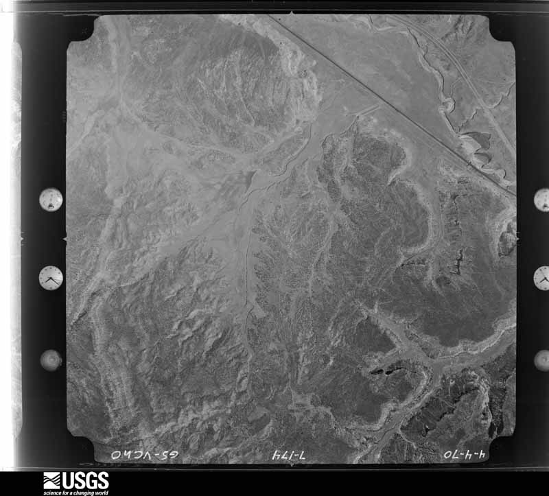
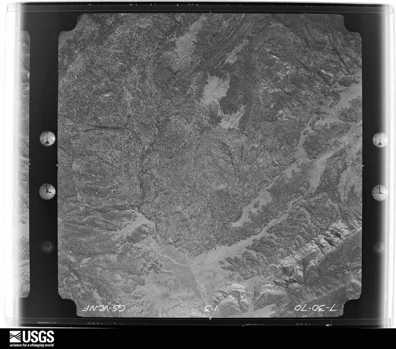
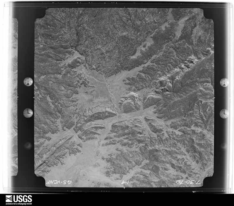
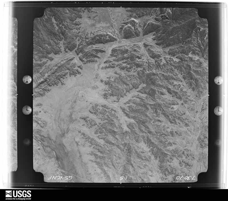
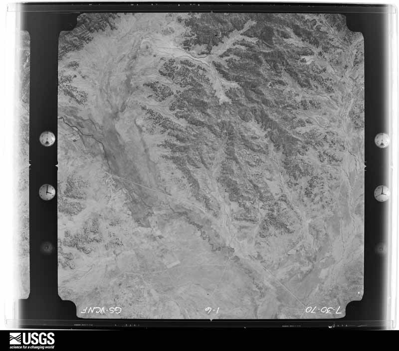
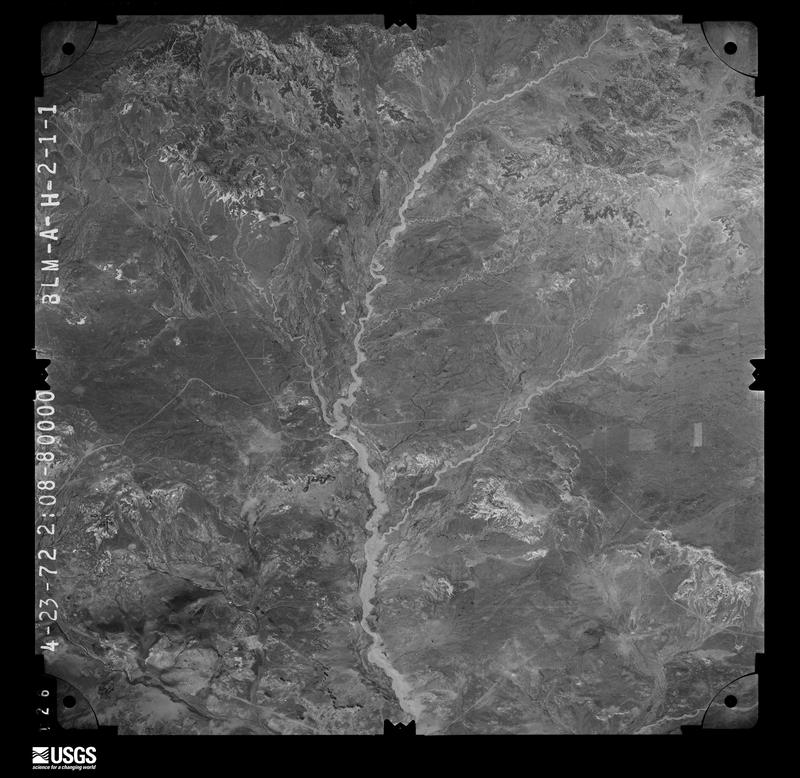
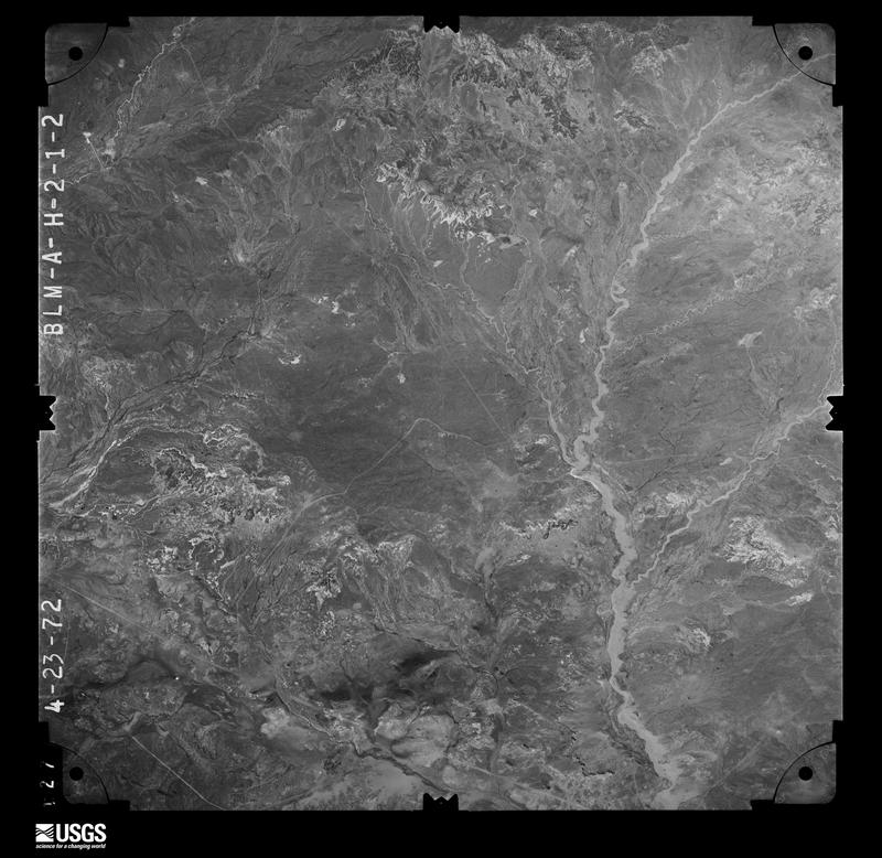
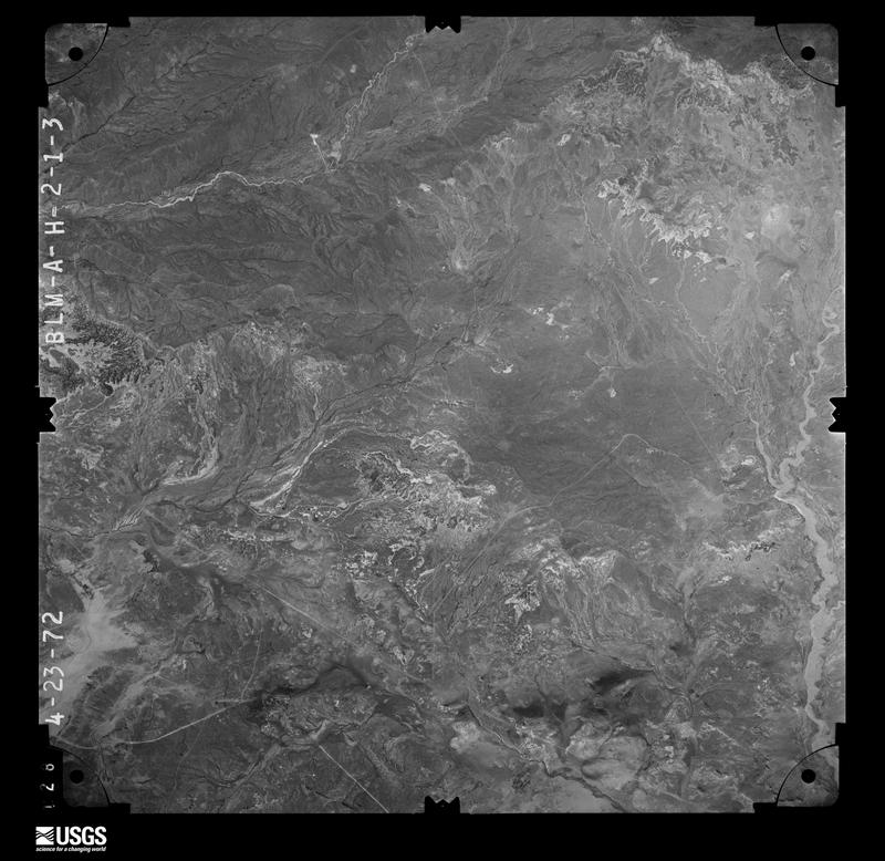
Flown by the U.S. Geological Survey between 1937 and 1989, the Aerial Photo Single Frames collection is the definitive mid-century view of the land: fields, roads and rivers as the camera saw them. The Survey holds 7,017 frames inside the rectangle that bounds this county; the 48 frames below were taken over the county itself, chosen across the decades of flights (at most four a year from that rectangle), so one flight cannot crowd out the rest. The full set is free to browse and download at EarthExplorer under the dataset Aerial Photo Single Frames.
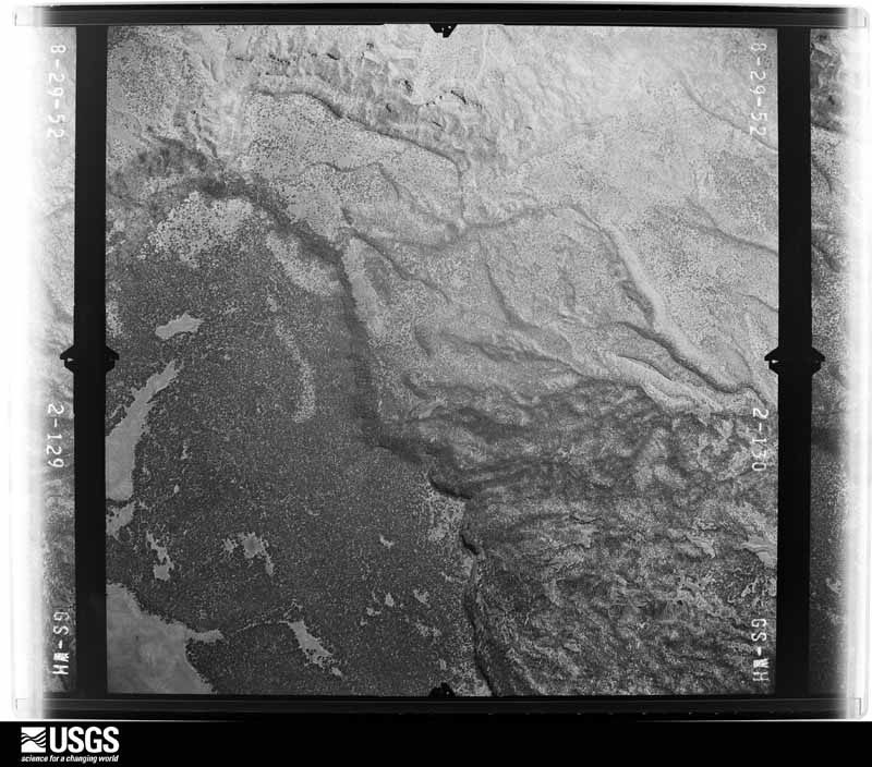
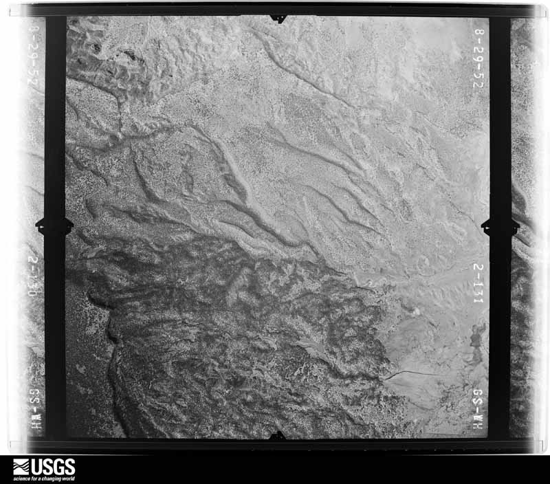
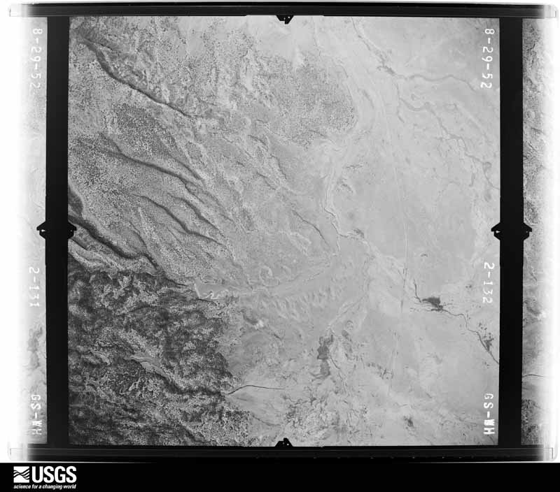
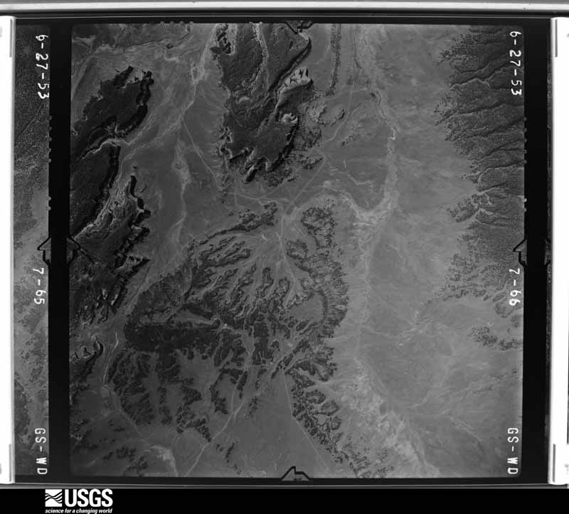
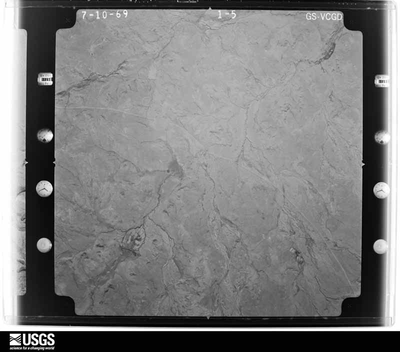
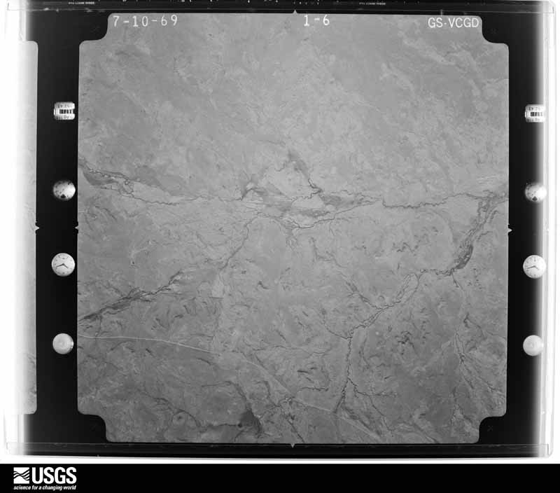
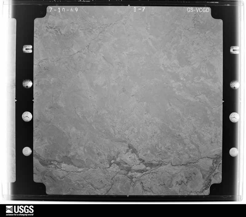
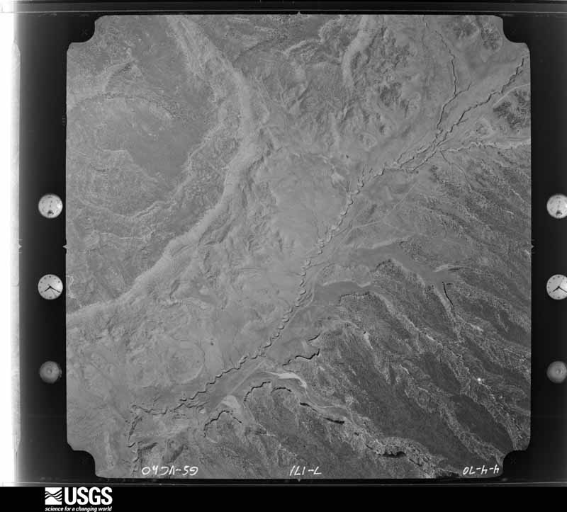
The thermometers that kept this county's weather, and the gages that measured the flow of its streams, as the federal records hold them. The extremes below are measured values from those records, not estimates.
Who lived here in 1950, one enumeration district at a time, as the Census Bureau described each district. Each row opens its official National Archives result, with Population Schedules and ED Maps available there.
Every wildfire the federal occurrence database records inside this county: 2,254 of them, burning about 32,531 acres. 624 started naturally and 189 were recorded as arson. Each settlement page carries the fires within five miles of it.
| Reported cause | Fires |
|---|---|
| Debris and open burning | 938 |
| Natural | 624 |
| Missing data/not specified/undetermined | 238 |
| Arson/incendiarism | 189 |
| Misuse of fire by a minor | 81 |
| Recreation and ceremony | 79 |
| Fireworks | 31 |
| Smoking | 30 |
| Equipment and vehicle use | 23 |
| Other causes | 11 |
| Railroad operations and maintenance | 5 |
| Power generation/transmission/distribution | 5 |
The five largest, by the area the report gives. One of them was set deliberately.
| Date | Cause | Size | Reported by | Name on the report |
|---|---|---|---|---|
| 13 June 2014 | Debris and open burning | 14,712 acres | Navajo Region Fire and Aviation Management | ASAAYII LAKE |
| 4 August 2019 | Natural | 5,162 acres | Bernalillo District | 20-60390187N |
| 14 October 2012 | Arson/incendiarism | 1,701 acres | Zuni Agency | TOP ROCK |
| 28 July 2011 | Natural | 1,276 acres | Albuquerque District Office | HEIFER |
| 16 September 2017 | Natural | 1,200 acres | Cibola National Forest | ESCONDIDO |
| 29 July 2018 | Natural | 957 acres | Cibola National Forest | MARIPOSA |
| 29 July 2000 | Natural | 720 acres | Navajo Region Fire and Aviation Management | HONEYWELL |
| 28 July 2009 | Natural | 511 acres | Albuquerque District Office | CHIVATO |
Every settlement page carries the fires within five miles of it - see the settlement index below.
The NOAA Storm Events Database holds 117 reports for this county, causing 12 deaths, 3 injuries and about $1,879,500 in recorded property damage. Each settlement page carries the reports that name it.
| Kind of event | Reports |
|---|---|
| Flash Flood | 62 |
| Thunderstorm Wind | 32 |
| Hail | 9 |
| Tornado | 5 |
| Funnel Cloud | 4 |
| Heavy Rain | 2 |
| Cold/Wind Chill | 1 |
| Lightning | 1 |
| Flood | 1 |
The most serious of them, by death, then injury, then recorded damage. The accounts are quoted exactly as the forecast office filed them.
| When | Event | Place named | Harm | What the report says |
|---|---|---|---|---|
| July 2008 | Flash Flood | Gamerco | 3 killed, $40,000 | The heavy rain caused water up to three feet deep to flow through downtown Gallup, on either side of Interstate 40. A rock slide occurred near the intersection of West Jefferson Avenue and Highway 491, causing a large boulder to crush three transients who were seeking shelter from the rain. A section of Highway 491 was also flooded 9 miles north of Gallup. A number of homes were flooded in Gallup, including some as far south as Nizhona Boulevard. Sundance Road was also flooded east of Gallup, in a subdivision between Rehoboth and Church Rock. |
| September 2016 | Flash Flood | Tohatchi | 2 killed | Father and daughter killed after entering a flooded arroyo. |
| August 2006 | Flash Flood | Church Rock | 2 killed | A man and his young son drowned when their vehicle was swept down stream trying to cross a flooded arroyo near Church Rock. Officials reported other people escaping without injuries as their vehicles also became trapped at flooded road crossings across west central and northwest McKinley County. A clogged drainage ditch also overflowed onto Interstate 40 near Gallup with mud and debris causing a closure of the westbound lanes. Several people escaped without injury when a mobile home located next to an arroyo tipped as storm water undercut the sandy bank of the arroyo. In general, storms yielded only about one half inch to three quarters inch of rain in about 30 minutes, but it was enough to fill numerous small arroyos and ditches with shallow and fast moving water. |
| September 1997 | Flash Flood | Gallup | 1 killed, 1 hurt | A 30-year man drowned while trying to cross the Hunters Point arroyo on Navajo Tribal lands southwest of Gallup. Two men and their vehicle became bogged in the arroyo. The survivor reported being hit by three waves of water and mud. The last wave separated the victim from the vehicle. His body was recovered 7 miles downstream. |
| July 2015 | Flash Flood | Rehoboth | 1 killed, $300,000 | Heavy rain caused State Road 491 north of Gallup to close due to flooding and debris. County Emergency Manager reported flash flooding caused 4 inches of mud and 8 inches of water to enter a juvenile center on the east side of town. He also noted that a few bridges were temporarily closed due to flood waters, along with numerous county roads suffering damage. Exact location and extent of damage was unknown. Allen Joe Begay of White Cone, Arizona was swept away in flood waters while in the Rio Puerco. |
| July 2015 | Flash Flood | Springstead | 1 killed, $15,000 | A truck was found crushed by a large boulder at the base of a 30-ft deep arroyo in Superman Canyon. The body of the man operating the vehicle was discovered 3 miles downstream at White Cliff. |
| December 1997 | Cold/Wind Chill | Gamerco | 1 killed | A 28 year old woman was found dead. Overnight low temperature at Gallup was -7 degrees. |
| September 1997 | Flash Flood | Gallup | 1 killed | A 56-year old woman drowned near Ojo Encino after seeking shelter in a culvert from a rainstorm. The woman and a companion were swept from the culvert by runoff from locally heavy rain. |
| August 1997 | Lightning | Whitewater | 2 hurt | A 30 year old female and 10 year old male suffered minor injuries from a lightning strike. |
| December 2021 | Thunderstorm Wind | (Gup)Gallup Airport | $150,000 | As a snow squall with associated lightning moved through the Gallup area, it resulted in estimated 75 mph winds. Multiple reports of damage were received in the Gallup area due to the high winds. Just northeast of Gallup, a COOP observer reported that a COVID-19 drive-through building on a trailer was blown into an eighteen foot power pole which snapped the pole at its base. A resident of Zuni Pueblo reported that power had been knocked out in their area. Damages in the Gallup area are estimated. |
| August 2012 | Flash Flood | Thoreau | $150,000 | Flooding was reported into Thoreau Baptist Church, Giant Gas Station, Thoreau Chapter House as well as multiple other businesses and 6 homes. Several bridges and roads were also washed over with debris, including state roads 118, 371 and 612 and county roads 61, 27, 51, and Castle Rock. |
| July 2010 | Flash Flood | Church Rock | $120,000 | Significant amounts of water flowed over Thompson Bridge on Telstar Road in Church Rock which eventually caused the bridge to collapse. The bridge served as the only way in and out of the Church Rock community. Other portions of this road were covered in up to 3 feet of mud. Challenger Road, which leads up to the elementary school, was covered with up to 5 feet of mud. Superman Canyon Road, Old Church Rock Coal Road and Becenti Trail were also washed out. |
| August 2010 | Flash Flood | Rehoboth | $120,000 | After the Church Rock bridge at Telstar Road collapsed July 31st, a temporary bridge was put in place. Just 2 days later, another bout of flash flooding resulted in the temporary bridge being washed out. A female flood victim had to be rescued the high waters in Church Rock. She sustained only minor injuries. Other vehicles were flooded out in Church Rock as well. In addition, mud as deep as 5 feet plagued Challenger Road again. Superman Canyon Road, Old Church Rock Coal Road, and Becenti Trail were also washed out for the 2nd time in as many days. |
| August 2014 | Flash Flood | Church Rock | $100,000 | Local news reported that the city of Church Rock was flooded after heavy rainfall. Multiple roads were washed out with access to homes cut off. A few homes were flooded in the area and that the main water line broke under the pressure of all the rushing water. The community was still cleaning up three days after the event. |
| September 2013 | Flood | Standing Rock | $100,000 | State EOC Situation Report #10 indicated heavy rainfall and flooding continued through the night on the 14th. 30 to 40 families were evacuated around Crownpoint as dams protecting Smith Lake and Old PHS were at risk of being compromised. A shelter was established. |
| July 2002 | Flash Flood | Gallup | $100,000 | One to two inches of rain from a slow moving thunderstorm caused wide spread street flooding in Gallup. Debris clogged city drainage which aggravated flooding in the older down town section. Water reached 18 to 24 inches deep in several business and two homes. |
| August 2010 | Flash Flood | Manuelito | $87,000 | Flash flooding damaged Manuelito Canyon Road and nearby Manuelito Canyon. |
| August 2022 | Flash Flood | Mentmore | $50,000 | Heavy rain near Tse Bonito caused water to flow over State Route 264 at mile marker 1. Reports were received of cars stalled on the roadway. Damages are estimated. |
| September 2013 | Flash Flood | Crownpoint Bia Arpt | $50,000 | Intense rainfall caused evacuations due to high water in Crownpoint. Longer duration rainfall after this event lead to widespread areal flooding through the 14th. |
| August 2013 | Flash Flood | Gallup | $50,000 | Six inches of water flooded the ground floor of the McKinley County Juvenile Detention Center. |
| August 2013 | Flash Flood | Rehoboth | $50,000 | Flooding damaged residence and dining halls at Red Rock Care Center. The combination of heavy rain and hail created a water damming situation that resulted in roof leaks and eventual slight inundation of portions of the facility. |
| August 2010 | Flash Flood | South Chaves | $50,000 | South Chavez Road and Woodview Drive in Baca as well as Navajo Road in Thoreau were washed out. |
| July 2010 | Flash Flood | South Chaves | $50,000 | South Chavez Road and Woodview Drive in Baca as well as Navajo Road in Thoreau were washed out due to heavy rains. |
| August 2010 | Flash Flood | Mentmore | $40,000 | County Road 1 was impassible as water was quickly running over the road and lapping up along the Tse Bonito bridge. Though the bridge remains standing, the water tore off both sides of the bridge. |
| July 2022 | Flash Flood | Mexican Spgs | $25,000 | Heavy rain near Mexican Springs flooded U.S. Highway 491 along with multiple dirt roads, including Navajo Service Road 30. Damages are estimated. |
| July 2022 | Flash Flood | Mexican Spgs | $25,000 | Heavy rain near Mexican Springs flooded Service Road 30. The emergency manager reported that several areas of the roadway were damaged to the flooding. Damages are estimated. Time is estimated based on radar. |
| September 2009 | Flash Flood | Upper Nutria | $25,000 | Dirt roads were washed away by the heavy rainfall in the Timberlake Ranch subdivision. Giant boulders blocked the roadways, preventing residents from making it home from the main roadway. |
| July 1998 | Thunderstorm Wind | Gallup | $25,000 | A trailer home was overturned and destroyed by a microburst near the Springstead Trading Post. |
| August 2007 | Flash Flood | Zuni | $21,000 | Continued heavy rain resulted in flooding of three additional homes, along with substantial street flooding. Water inside of homes was reported at 1 to 2 feet deep. |
| July 2010 | Flash Flood | Iyanbito | $20,000 | Sweetwater, Iyanbito, and Dakota Loop Roads in Iyanbito were washed out due to flash flooding. |
| August 2010 | Flash Flood | Iyanbito | $20,000 | Sweetwater, Iyanbito and Dakota Loop Roads were washed out due to flash flooding in Iyanbito for the second time in two days. |
| July 2003 | Thunderstorm Wind | Gallup Arpt | $15,000 | A dry microburst on the west side of Gallup caused power outages and roof damage to several homes or small businesses. |
| August 2005 | Heavy Rain | Gallup | $15,000 | no account filed |
| September 2025 | Flash Flood | Coyote Canyon | $10,000 | The Navajo Police Department reported on social media flash flooding from heavy rain through Coyote Canyon overtopping Navajo Route 9 between mile markers 7 and 14. Flash flooding closed the entrance to Nizhoni Housing and the highway. One vehicle appeared trapped in the floodwaters. |
| July 2022 | Flash Flood | Mexican Spgs | $10,000 | Heavy rain near Navajo washed out Service Road 9452 as water flowed out of the arroyo due to debris caught in the drainage. Damages are estimated. Time is estimated based on radar. |
| August 2010 | Flash Flood | Prewitt | $8,000 | Lori Drive just northeast of Bluewater Lake was washed out due to heavy rains. |
| August 2007 | Flash Flood | Zuni | $7,000 | One home was initially flooded in Zuni as a result of heavy rain. |
| July 2018 | Flash Flood | Springstead | $5,000 | Superman Canyon Road washed out near Rock Flats Road. |
| September 2013 | Flash Flood | Gallup | $5,000 | State EOC Situation Report #2 on the 11th indicated NM 118 was closed on the 10th due to flood waters, mud, and debris over roadway. |
| August 2011 | Flash Flood | Gallup | $5,000 | Flash flooding occurred along Maloney Street between 1st and 6th streets. Several of these intersections were closed as water was halfway up vehicles. A few cars were stuck in the water. |
| September 2009 | Flash Flood | Pinedale | $5,000 | A vehicle was washed away in an arroyo near the intersection of Second Canyon Road and Highway N11-49 (also called Navajo Service Route 11). |
| September 2009 | Flash Flood | Ramah | $5,000 | Heavy rain caused a vehicle to be washed away in an arroyo. Law enforcement discovered the vehicle unoccupied with keys in the ignition. |
| August 2008 | Flash Flood | Mexican Spgs | $5,000 | U.S. highway 491 was closed at mile marker 16 due to high water. |
| June 1998 | Thunderstorm Wind | Gallup | $1,000 | Microburst winds damaged the roof to a trailer in Gallup. |
| August 2008 | Flash Flood | Ramah | $500 | Highway 53 was closed in both directions between mile markers 35 and 36. Water was up to one foot deep. |
| June 2025 | Thunderstorm Wind | (Gup)Gallup Airport | - | A convectively induced outflow gust produced a severe wind gust of 61 mph. No lightning was observed at the airport. |
| July 2025 | Thunderstorm Wind | (Gup)Gallup Airport | - | A likely virga induced thunderstorm wind gust of 73 mph was observed at the Gallup Airport. |
| September 2025 | Flash Flood | (Gup)Gallup Airport | - | A woman driving home on New Mexico Highway 602 about 5 miles south of Gallup was swept away in floodwaters, according to Navajo Nation and New Mexico State Police. Tragically, her deceased body was found after a five day search and rescue operation in nearby areas. |
| June 2024 | Tornado (EFU) | Crownpoint Bia Arpt | - | Multiple photos and a video were shared on Twitter/X showing a well defined landspout beneath a strong thunderstorm cell just northwest of Crownpoint, NM. The video clearly shows the landspout north to northeast of the intersection of Navajo Service Route 89 and Navajo Service Route 9. Subsequent photos and radar support the track of the landspout moving east toward NM Highway 371 north of Crownpoint. No damage was reported and is not surprising given the extremely remote location. Location and track are based on the combination of analysis of the photos, video and radar data. |
| June 2024 | Thunderstorm Wind | (Gup)Gallup Airport | - | The Gallup Airport weather station measured a peak thunderstorm gust o 63mph. |
| June 2024 | Thunderstorm Wind | (Gup)Gallup Airport | - | The Gallup Airport measured a peak thunderstorm wind gust of 60 mph. |
| October 2024 | Thunderstorm Wind | (Gup)Gallup Airport | - | A 60 mph wind gust was observed at Gallup Municipal Airport likely from nearby shower activity. |
| May 2023 | Tornado (EFU) | Rehoboth | - | The acting fire chief of McKinley County sent a video of a brief landspout tornado near Gallup. It caused no damage. |
| October 2022 | Funnel Cloud | Mexican Spgs | - | A post on social media indicated a large funnel cloud hovering over Twin Buttes Mesa near Navajo, NM. |
| August 2022 | Flash Flood | Church Rock | - | Heavy rain near Church Rock forced the closure of Interstate 40 in both directions at mile marker 33. |
| August 2022 | Flash Flood | Twin Lakes | - | Heavy rain near Yah-Ta-Hey caused water to flow over State Route 264 at mile markers 9 through 10. Any damages are not known. |
| July 2022 | Flash Flood | Gallup | - | A video shared via Facebook showed flash flooding in the Gallup area. Area and timing is estimated via radar as video was made unavailable shortly after it was shared. No damages are known. |
| July 2022 | Flash Flood | Defiance | - | Heavy rain in the Manuelito area forced the closure of New Mexico State Highway 118 at mile marker 11 in both directions due to flooding. No damages are known. |
| July 2022 | Flash Flood | Church Rock | - | Heavy rain in the Church Rock and Fort Wingate areas caused flash flooding along Interstate 40 and New Mexico State Highway 118 as reported by the New Mexico Department of Transportation. There are no known damages. |
| July 2022 | Thunderstorm Wind | (Gup)Gallup Airport | - | An ASOS station near Gallup measured a 58 mph wind gust likely associated with strong downburst winds. |
The Survey's mineral resources record lists 504 workings inside this county. 80 still produce and 424 are closed or unrecorded. Each settlement page carries the workings within five miles of it.
| Commodity | Workings |
|---|---|
| Uranium | 347 |
| Sand and Gravel, Construction | 72 |
| Stone, Crushed/Broken | 25 |
| Uranium, Vanadium | 20 |
| Stone | 14 |
| Molybdenum | 9 |
| Vanadium, Uranium | 8 |
| Molybdenum, Selenium | 6 |
| Geothermal | 4 |
| Vanadium | 3 |
| Titanium, Metal, Iron, Zirconium, Thorium | 3 |
| Selenium | 2 |
| Pumice | 2 |
| Clay | 2 |
The least common of them first, because a county's hundredth gravel pit says nothing its first ten did not.
| Where | Site | Commodity | Status | Recorded |
|---|---|---|---|---|
| Armstrong Rock Quarry | Stone, Sand and Gravel, Construction | Unknown | ||
| Foster Canyon Group | Manganese, Iron | Occurrence | ||
| Grants Uranium District: Smith Lake Subdistrict | Vanadium, Uranium, Molybdenum, Iron | Past Producer | 1950, 1951, 1983 | |
| Johnny M Mine | Uranium, Vanadium, Molybdenum, Copper, Selenium, Arsenic | Producer | 1968, 1976, 1981 | |
| Mariano Lake Mine | Vanadium, Uranium, Iron | Producer | 1975, 1977, 1983 | |
| Marquez Mine | Uranium, Vanadium, Molybdenum, Selenium | Past Producer | 1955, 1958, 1966 | |
| San Antone Pit | Limestone, General | Producer | Sedimentary | |
| Sandstone Mine | Uranium, Vanadium, Selenium, Molybdenum, Iron | Past Producer | 1956, 1959, 1980 | |
| Sandstone Quarry | Flagstone | Past Producer | ||
| Section 15 Mine | Uranium, Selenium, Barium-Barite, Vanadium | Producer | 1955, 1958, 1979 | |
| Section 17 Mine | Uranium, Molybdenum, Barium-Barite | Past Producer | 1960, 1980 | |
| Section 30 Mine | Uranium, Barium-Barite, Molybdenum | Past Producer | 1958, 1981 | |
| Standing Rock | Titanium, Metal, Iron, Thorium, Zirconium | Occurrence | ||
| State Hwy Pit No. 65-27-S | Stone, Crushed/Broken, Sand and Gravel, Construction | Unknown | ||
| State Hwy Pit No. 71-19-S | Sand and Gravel, Construction, Stone, Crushed/Broken | Unknown | ||
| Anderson Pit | Pumice | Producer | ||
| Flea Mine | Clay | Past Producer | ||
| Gallup Brick & Tile Co | Clay | Past Producer | ||
| Grants Uranium District: Ambrosia Lake Subdistrict | Vanadium, Uranium, Molybdenum, Selenium | Producer | 1950, 1952, 1983 | |
| Poison Canyon Mine | Uranium, Vanadium, Selenium | Past Producer | 1951, 1952, 1980 | |
| Red Dog Pit | Pumice | Producer | ||
| Beacon Hill | Uranium, Vanadium | Past Producer | ||
| Defiance | Titanium, Metal, Iron, Zirconium, Thorium | Occurrence | ||
| Grants Uranium District: Church Rock Subdistrict | Uranium, Vanadium | Producer | 1950, 1983 | |
| Miguel Creek Dome | Titanium, Metal, Iron, Zirconium, Thorium | Occurrence | ||
| Star Lake | Titanium, Metal, Iron, Zirconium, Thorium | Occurrence | ||
| Fort Wingate Army Depot Well | Geothermal | Unknown | ||
| Pure Oil #3 | Geothermal | Unknown | ||
| Pure Oil Navajo # 1 | Geothermal | Unknown | ||
| Togay Springs | Geothermal | Unknown | ||
| Ann Lee Mine | Uranium, Molybdenum, Selenium | Past Producer | 1953, 1958, 1981 | |
| Black Jack No. 1 Mine | Uranium, Molybdenum, Selenium | Past Producer | 1958, 1959, 1971 | |
| Cliffside Mine | Uranium, Vanadium, Molybdenum, Selenium | Past Producer | 1957, 1960, 1983 | |
| Section 10 Mine | Uranium, Molybdenum, Selenium | Past Producer | 1955, 1957, 1980 | |
| Section 22 Mine | Uranium, Molybdenum, Selenium | Past Producer | 1955, 1958, 1980 | |
| Section 23 Mine | Uranium, Molybdenum, Selenium | Producer | 1955, 1959, 1979 | |
| Blue Peak | Vanadium, Uranium | Past Producer | ||
| Evelyn Mine | Vanadium, Uranium | Past Producer | 1954, 1955, 1972 | |
| Hogback Mine | Vanadium, Uranium | Past Producer | 1950, 1951, 1960 | |
| Section 26 Mine | Vanadium, Uranium | Past Producer | 1952, 1957 | |
| Section 36 Mine | Vanadium, Uranium | Past Producer | ||
| Dog Group Mines | Uranium, Molybdenum | Past Producer | 1956, 1957, 1980 | |
| Hogan Mine | Uranium, Molybdenum | Past Producer | 1957, 1959, 1962 | |
| Kerr-Mcgee Concentrator | Uranium, Molybdenum | Producer | ||
| Mesa Top Mine | Uranium, Vanadium, Molybdenum | Past Producer | 1953, 1954, 1968 | |
| Nose Rock No. 1 Mine | Uranium, Molybdenum | Producer | 1975 | |
| Section 29 Mine | Uranium, Molybdenum | Past Producer | 1958, 1961, 1970 | |
| Section 32 Mine | Uranium, Molybdenum | Producer | 1958, 1979 | |
| Section 33 Mine | Uranium, Molybdenum | Producer | 1958, 1959, 1979 | |
| Coolidge Pit | Stone | Unknown | ||
| J & S Enterprise | Stone | Past Producer | ||
| Jurgensen Pit | Stone | Unknown | ||
| Proj. Adap 8-35-0019-01 | Stone | Unknown | ||
| Pueblo Alto | Stone | Producer | Sedimentary | |
| Quarry | Stone | Past Producer | ||
| Rock Pit | Stone | Unknown | ||
| Star Lake | Stone | Producer | Sedimentary | |
| State Hwy Pit No. 58-68-S | Stone | Unknown | ||
| Sundt Pit | Stone | Unknown | ||
| Top of World | Stone | Unknown | ||
| Trotz Const. Pit | Stone | Unknown | ||
| Twin Buttes Quarry | Stone | Producer | Basalt | |
| Upper Nutria Limestone Pit | Stone | Unknown | ||
| Alta Mine | Uranium, Vanadium | Past Producer | 1950, 1951, 1968 | |
| Becenti Mine | Uranium, Vanadium | Past Producer | ||
| Black Jack No. 2 Mine | Uranium, Vanadium | Past Producer | 1957, 1959, 1964 | |
| Diamond No. 2 Mine | Uranium, Vanadium | Past Producer | 1952, 1953, 1970 | |
| Dysart No. 1 Mine | Uranium, Vanadium | Past Producer | 1955, 1956, 1962 | |
| Foutz No. 1 and No. 2 Mines | Uranium, Vanadium | Past Producer | 1953, 1954 | |
| Foutz No. 3 Mine | Uranium, Vanadium | Past Producer | 1953, 1955 | |
| Francis Mine | Uranium, Vanadium | Past Producer | 1953, 1954 | |
| Haystack Mine | Uranium, Vanadium | Past Producer | 1951, 1981 | |
| Red Top Mines | Uranium, Vanadium | Past Producer | 1955 | |
| Section 18 Mine | Uranium, Vanadium | Past Producer | 1952, 1954, 1966 | |
| Section 23,26 Mine | Uranium, Vanadium | Past Producer | 1951, 1957, 1958 | |
| Section 25 Mines | Uranium, Vanadium | Past Producer | 1951, 1952, 1981 | |
| Section 36 Mine | Uranium, Vanadium | Past Producer | 1952, 1957 | |
| Silver Bit Mines | Uranium, Vanadium | Past Producer | 1955, 1957 | |
| Silver Spur Mine | Uranium, Vanadium | Past Producer | 1953, 1955, 1968 | |
| Westwater No. 1 Mine | Uranium, Vanadium | Past Producer | 1957, 1960 | |
| Elkins Lime Pit | Stone, Crushed/Broken | Unknown | ||
| Elkins Prewitt Pit | Stone, Crushed/Broken | Producer | ||
| N.M. Materials Co. Pit & Mill | Stone, Crushed/Broken | Unknown | ||
| Rock Pit | Stone, Crushed/Broken | Unknown | ||
| Roundy #2 Pit | Stone, Crushed/Broken | Unknown | ||
| San Antone Pit | Stone, Crushed/Broken | Producer | ||
| State Hwy Pit No 57-39-S | Stone, Crushed/Broken | Unknown | ||
| State Hwy Pit No. 56-112-S | Stone, Crushed/Broken | Unknown | ||
| State Hwy Pit No. 56-113-S | Stone, Crushed/Broken | Unknown | ||
| State Hwy Pit No. 56-70-S | Stone, Crushed/Broken | Unknown | ||
| State Hwy Pit No. 57-101-S | Stone, Crushed/Broken | Unknown | ||
| State Hwy Pit No. 57-145-S | Stone, Crushed/Broken | Unknown | ||
| State Hwy Pit No. 57-22-S | Stone, Crushed/Broken | Unknown | ||
| State Hwy Pit No. 57-37-S | Stone, Crushed/Broken | Unknown | ||
| State Hwy Pit No. 57-96-S | Stone, Crushed/Broken | Unknown | ||
| State Hwy Pit No. 59-103-S | Stone, Crushed/Broken | Unknown | ||
| State Hwy Pit No. 61-13-S | Stone, Crushed/Broken | Unknown | ||
| State Hwy Pit No. 62-21-S | Stone, Crushed/Broken | Unknown | ||
| State Hwy Pit No. 71-11-S | Stone, Crushed/Broken | Unknown | ||
| State Hwy Pit No. 71-16-S | Stone, Crushed/Broken | Unknown | ||
| State Hwy Pit No. 77-18-S | Stone, Crushed/Broken | Unknown | ||
| State Hwy Pit No. 78-36-S | Stone, Crushed/Broken | Producer | ||
| State Hwy Pit No. 79-11-S | Stone, Crushed/Broken | Unknown | ||
| Thoreau | Stone, Crushed/Broken | Producer | ||
| Twin Buttes | Stone, Crushed/Broken | Producer | ||
| Andrews Pit | Sand and Gravel, Construction | Producer | Sedimentary | |
| Berry Pit | Sand and Gravel, Construction | Producer | Sedimentary | |
| Blm Mineral Sale MS Nm-016-85-6 | Sand and Gravel, Construction | Past Producer | Sedimentary | |
| Borrow Pit | Sand and Gravel, Construction | Unknown | ||
| Borrow Pit | Sand and Gravel, Construction | Unknown | ||
| Brown Const. Pit | Sand and Gravel, Construction | Unknown | ||
| Brown Const. Pit | Sand and Gravel, Construction | Unknown | ||
| Buffalo Springs Pit 63-4-S | Sand and Gravel, Construction | Unknown | ||
| C & E Concrete Pit | Sand and Gravel, Construction | Unknown | ||
| Corn Construction Pit | Sand and Gravel, Construction | Unknown | ||
| Elkins Pit | Sand and Gravel, Construction | Producer | ||
| Elkins Thoreau Pit #3 | Sand and Gravel, Construction | Producer | ||
| Gallup Sand & Gravel | Sand and Gravel, Construction | Past Producer | ||
| Gravel Pit | Sand and Gravel, Construction | Unknown | ||
| Gravel Pit | Sand and Gravel, Construction | Unknown | ||
| Gravel Pit | Sand and Gravel, Construction | Unknown | ||
| Gravel Pit | Sand and Gravel, Construction | Unknown | ||
| Gravel Pit | Sand and Gravel, Construction | Unknown | ||
| Gravel Pit | Sand and Gravel, Construction | Unknown | ||
| Gravel Pit | Sand and Gravel, Construction | Unknown | ||
| Gravel Pit | Sand and Gravel, Construction | Unknown | ||
| Gravel Pit | Sand and Gravel, Construction | Unknown | ||
| Gravel Pit | Sand and Gravel, Construction | Unknown | ||
| Gravel Pit | Sand and Gravel, Construction | Unknown | ||
| Gravel Pit | Sand and Gravel, Construction | Unknown | ||
| Gravel Pit | Sand and Gravel, Construction | Unknown | ||
| Gravel Pit | Sand and Gravel, Construction | Unknown | ||
| Gravel Pit | Sand and Gravel, Construction | Unknown | ||
| Gravel Pit | Sand and Gravel, Construction | Unknown | ||
| Gravel Pit | Sand and Gravel, Construction | Unknown | ||
| Gravel Pit | Sand and Gravel, Construction | Unknown | ||
| Gravel Pit | Sand and Gravel, Construction | Unknown | ||
| Gravel Pit | Sand and Gravel, Construction | Unknown | ||
| Gravel Pit | Sand and Gravel, Construction | Unknown | ||
| Gravel Pit | Sand and Gravel, Construction | Unknown | ||
| Gravel Pit | Sand and Gravel, Construction | Unknown | ||
| Gravel Pit | Sand and Gravel, Construction | Unknown | ||
| Gravel Pits | Sand and Gravel, Construction | Unknown | ||
| Gravel Pits | Sand and Gravel, Construction | Unknown | ||
| Gravel Pits | Sand and Gravel, Construction | Unknown | ||
| Gravel Pits | Sand and Gravel, Construction | Unknown | ||
| Hoskins & Robinson Pit | Sand and Gravel, Construction | Unknown | ||
| Iyanbito Pit | Sand and Gravel, Construction | Unknown | ||
| Iyanbito Sand Pit | Sand and Gravel, Construction | Producer | Sedimentary | |
| Kent Nowlin Pit | Sand and Gravel, Construction | Unknown | ||
| Kerr Mcgee Pit 31-13-9 | Sand and Gravel, Construction | Unknown | ||
| Kiewit Pit | Sand and Gravel, Construction | Unknown | ||
| Kimbler Pit | Sand and Gravel, Construction | Unknown | ||
| Marinelli Pit | Sand and Gravel, Construction | Producer | ||
| Nielsons Pit | Sand and Gravel, Construction | Unknown | ||
| Sand Pit | Sand and Gravel, Construction | Unknown | ||
| Sand Pit | Sand and Gravel, Construction | Unknown | ||
| Sand Pit | Sand and Gravel, Construction | Unknown | ||
| Sand Pits | Sand and Gravel, Construction | Unknown | ||
| State Hwy Pit No 57-35-S | Sand and Gravel, Construction | Unknown | ||
| State Hwy Pit No 58-98-F | Sand and Gravel, Construction | Unknown | ||
| State Hwy Pit No. 56-12-S | Sand and Gravel, Construction | Unknown | ||
| State Hwy Pit No. 57-109-S | Sand and Gravel, Construction | Unknown | ||
| State Hwy Pit No. 57-130-S | Sand and Gravel, Construction | Unknown | ||
| State Hwy Pit No. 57-19-S | Sand and Gravel, Construction | Unknown | ||
| State Hwy Pit No. 57-23-F | Sand and Gravel, Construction | Unknown | ||
| State Hwy Pit No. 58-101-F | Sand and Gravel, Construction | Unknown | ||
| State Hwy Pit No. 59-104-F | Sand and Gravel, Construction | Unknown | ||
| State Hwy Pit No. 60-57-S | Sand and Gravel, Construction | Unknown | ||
| State Hwy Pit No. 60-59-S | Sand and Gravel, Construction | Unknown | ||
| State Hwy Pit No. 63-7-S | Sand and Gravel, Construction | Unknown | ||
| State Hwy Pit No. 78-8-S | Sand and Gravel, Construction | Unknown | ||
| State Hwy Pit No. 78-9-S | Sand and Gravel, Construction | Unknown | ||
| State Pit 63-4-5 | Sand and Gravel, Construction | Producer | ||
| Tohatchi Pit | Sand and Gravel, Construction | Producer | ||
| Twin Buttes Pit | Sand and Gravel, Construction | Unknown | ||
| Wylie Bros. Pit | Sand and Gravel, Construction | Producer | ||
| 16-16-8 Group | Uranium | Occurrence | ||
| 30-C Uran Deposit | Uranium | Unknown | ||
| Alta Mine | Uranium | Past Producer | ||
| Amiran | Uranium | Unknown | ||
| Andrews Ranch Mine | Uranium | Past Producer | ||
| Ann Lee Mine No 1 | Uranium | Past Producer | ||
| Barbara J Hz | Uranium | Past Producer | ||
| Barbara Jean #1 | Uranium | Past Producer | ||
| Barbara Jean #3 | Uranium | Past Producer | ||
| Beacon Hill Mine | Uranium | Past Producer | ||
| Bibo | Uranium | Past Producer | ||
| Billy the Kid Mine | Uranium | Past Producer | ||
| Black Jack Nos 1 & 2 | Uranium | Past Producer | ||
| Blackjack #1 | Uranium | Past Producer | ||
| Blackjack #2 | Uranium | Past Producer | ||
| Blue Peak | Uranium | Producer | ||
| Bobcat | Uranium | Past Producer | ||
| Bobcat Mine | Uranium | Past Producer | ||
| Borrego Pass Deposit | Uranium | Occurrence | 1975 | |
| Bottoms Claim | Uranium | Occurrence | ||
| Buckly No 1 Mine | Uranium | Past Producer | ||
| Bucky #1 Mine | Uranium | Past Producer | ||
| Canyon Deposit | Uranium | Occurrence | 1974 | |
| Canyon Mulatto Uran Deposit | Uranium | Unknown | ||
| Car-Ball 13 Uran Deposit | Uranium | Unknown | ||
| Chill Wills | Uranium | Past Producer | ||
| Christmas Day #1 | Uranium | Past Producer | ||
| Church Rock #2 | Uranium | Producer | ||
| Church Rock Mill (Facility) | Uranium | Producer | ||
| Church Rock Mine | Uranium | Producer | 1959, 1960, 1981 | |
| Church Rock No. 1 Mine | Uranium | Past Producer | 1965, 1977, 1981 | |
| Cobb Nuclear Section 12 Mine | Uranium | Producer | ||
| Crownpoint Leach Project | Uranium | Producer | ||
| Crownpoint Mine | Uranium | Unknown | ||
| Crownpoint-Section 29 Mine | Uranium | Occurrence | 1972 | |
| Crownpoint-South Trend Deposit | Uranium | Past Producer | 1975, 1979, 1981 | |
| Dakot Mine | Uranium | Past Producer | ||
| Dakota Mine | Uranium | Past Producer | ||
| Dalco #1 | Uranium | Past Producer | ||
| Dalton Pass - Section 30 Deposit | Uranium | Occurrence | 1975 | |
| Dalton Pass Deposit - Sections 24 and 25 | Uranium | Occurrence | 1977 | |
| Dalton Pass Uranium Deposit - Section 28 | Uranium | Unknown | ||
| De Villiers #1 Mine | Uranium | Unknown | ||
| Delter | Uranium | Past Producer | ||
| Delter Uran Deposit | Uranium | Unknown | ||
| Diamond #2 | Uranium | Past Producer | ||
| Diamond #2 Mine | Uranium | Past Producer | ||
| Divide 25, 26, 27, 28 Uran Deposits | Uranium | Unknown | ||
| Dog #1 | Uranium | Past Producer | ||
| Dog Flea Mine | Uranium | Producer | ||
| Dog Mine | Uranium | Past Producer | ||
| Doris Extension | Uranium | Producer | ||
| Doris Mine | Uranium | Past Producer | ||
| Doris No.1 | Uranium | Past Producer | ||
| Doris No.2 West Extension | Uranium | Past Producer | ||
| Doris West Extension | Uranium | Past Producer | ||
| Drift Mine | Uranium | Unknown | ||
| Dysart No. 2 Mine | Uranium | Past Producer | 1956, 1959, 1962 | |
| Eagle Uran Deposit | Uranium | Unknown | ||
| Elizabeth Group | Uranium | Occurrence | ||
| Evelyn Mine | Uranium | Past Producer | ||
| Farris Mine | Uranium | Unknown | ||
| Febco Tunnel No 1 | Uranium | Past Producer | ||
| Federal Mine | Uranium | Past Producer | ||
| Fernandez-Main Ranch Deposit | Uranium | Occurrence | 1968 | |
| Flat Top Mine | Uranium | Past Producer | ||
| Flea Doris Extension | Uranium | Producer | ||
| Flea Mine | Uranium | Past Producer | ||
| Foutz #1 Mine | Uranium | Past Producer | ||
| Foutz #2 | Uranium | Past Producer | ||
| Foutz #3 Mine | Uranium | Past Producer | ||
| Francis | Uranium | Past Producer | ||
| Glenn and Edith | Uranium | Past Producer | ||
| Glover Claim | Uranium | Occurrence | ||
| Golden P. Roundy Mine | Uranium | Past Producer | ||
| Gossett | Uranium | Past Producer | ||
| Green Pick 20 Uran Deposit | Uranium | Unknown | ||
| Hanosh Mine | Uranium | Past Producer | ||
| Haystack Butte Dist | Uranium | Past Producer | ||
| Haystack Mine | Uranium | Past Producer | ||
| Haystack Open Pit | Uranium | Producer | ||
| Haystack Underground | Uranium | Producer | ||
| Hogan Mine | Uranium | Past Producer | ||
| Holly | Uranium | Past Producer | ||
| Holly | Uranium | Past Producer | ||
| Homestake Partners Sec 25 Mine | Uranium | Past Producer | ||
| Homestake Partners Sec 32 Mine | Uranium | Past Producer | ||
| Homestake-Sapin Mine No 15 | Uranium | Past Producer | ||
| Hope Mine | Uranium | Past Producer | ||
| Hope Mine | Uranium | Past Producer | ||
| Hyde Deposit | Uranium | Unknown | ||
| Hyde Mine | Uranium | Past Producer | ||
| Ike #1 | Uranium | Past Producer | ||
| Isabella | Uranium | Past Producer | ||
| June | Uranium | Past Producer | ||
| June Mine | Uranium | Past Producer | ||
| Junior Mine | Uranium | Past Producer | ||
| Kermac Mine 22 | Uranium | Past Producer | ||
| Kermac No 10 Mine | Uranium | Producer | ||
| Kermac Nuclear Proc. Plant | Uranium | Past Producer | ||
| Kerr Mcgee Sec 17 Mine | Uranium | Producer | ||
| Kerr Mcgee Sec 19 Mine | Uranium | Producer | ||
| Kerr Mcgee Sec 22 Mine | Uranium | Producer | ||
| Kerr Mcgee Sec 24 Mine | Uranium | Producer | ||
| Kerr Mcgee Sec 29 | Uranium | Producer | ||
| Kerr Mcgee Sec 30 Mine | Uranium | Producer | ||
| Kerr Mcgee Sec 30 West Mine | Uranium | Producer | ||
| Kerr Mcgee Sec 33 Mine | Uranium | Producer | ||
| Kerr Mcgee Sec 35 Mine | Uranium | Producer | ||
| Kerr-Mcgee Section 36 Mine | Uranium | Producer | ||
| Largo #4 | Uranium | Past Producer | ||
| Largo Uran Deposit | Uranium | Unknown | ||
| Last Chance Z Uran Deposit | Uranium | Unknown | ||
| Lawrence Elkins | Uranium | Unknown | ||
| Mac #2 | Uranium | Past Producer | ||
| Mac No. 1 | Uranium | Past Producer | ||
| Malpais | Uranium | Past Producer | ||
| Marquez Canyon Deposit | Uranium | Past Producer | 1974 | |
| Martinez Mine | Uranium | Past Producer | ||
| Mary No 1 Mine | Uranium | Past Producer | ||
| Mary No.1 Mine | Uranium | Past Producer | 1955, 1959, 1965 | |
| Melrich Group | Uranium | Occurrence | ||
| Mesa Top | Uranium | Past Producer | ||
| Mesa Top 7 | Uranium | Past Producer | ||
| Mesa Top Mine | Uranium | Past Producer | ||
| Mine #5 | Uranium | Past Producer | ||
| Monument Leach Project, Sec 28 | Uranium | Producer | ||
| Narrow Canyon Deposit | Uranium | Occurrence | 1975 | |
| Nicholson-Brown Uran Deposit | Uranium | Unknown | ||
| Nite Group | Uranium | Occurrence | ||
| No 4 Moe | Uranium | Past Producer | ||
| No.4 Mine | Uranium | Unknown | ||
| Northeast Church Rock Mine | Uranium | Producer | 1965, 1975, 1981 | |
| Noserock #2 | Uranium | Unknown | ||
| Nuclear Power Sec 12 | Uranium | Producer | ||
| Palo Verde Group | Uranium | Occurrence | ||
| Prospect 2 Uran Deposit | Uranium | Unknown | ||
| Pyramid Group | Uranium | Past Producer | ||
| Red Cap Group | Uranium | Occurrence | ||
| Red Point Lode Group | Uranium | Past Producer | ||
| Red Rock 3 & 4 | Uranium | Unknown | ||
| Redco | Uranium | Unknown | ||
| Ree-Co #1 | Uranium | Unknown | ||
| Regina Group | Uranium | Occurrence | ||
| Rem Mine | Uranium | Unknown | ||
| Rimrock | Uranium | Past Producer | ||
| Rimrock #1 | Uranium | Unknown | ||
| Rimrock #2 Mine | Uranium | Unknown | ||
| Ruby No. 1 and No. 2 Decline | Uranium | Past Producer | 1958, 1975, 1981 | |
| Ruby No. 3 and No. 4 Decline | Uranium | Producer | 1968, 1980, 1982 | |
| San Mateo Dome | Uranium | Occurrence | Carnotite, Uraninite | |
| Santa Fe Christ | Uranium | Past Producer | ||
| Section 1 Mine | Uranium | Past Producer | 1959 | |
| Section 1 Uran Deposit | Uranium | Unknown | ||
| Section 1 Uran Deposit | Uranium | Unknown | ||
| Section 10 Mine | Uranium | Unknown | ||
| Section 10 Mine | Uranium | Past Producer | ||
| Section 12 Uran Deposit | Uranium | Unknown | ||
| Section 13 Mine | Uranium | Producer | 1979 | |
| Section 13 Mine | Uranium | Producer | ||
| Section 13 Mine | Uranium | Past Producer | ||
| Section 13 Uran Deposit | Uranium | Unknown | ||
| Section 13 Uran Deposit | Uranium | Unknown | ||
| Section 13 Uran Deposit | Uranium | Unknown | ||
| Section 13 Uran Deposit | Uranium | Unknown | ||
| Section 13 Uran Deposit | Uranium | Unknown | ||
| Section 13 Uran Deposit | Uranium | Unknown | ||
| Section 14 Deposit | Uranium | Unknown | ||
| Section 14 Mine | Uranium | Producer | ||
| Section 14 Uran Deposit | Uranium | Unknown | ||
| Section 15 Mine | Uranium | Producer | ||
| Section 16 Uran Deposit | Uranium | Unknown | ||
| Section 16 Uran Deposit | Uranium | Unknown | ||
| Section 16 Uran Deposit | Uranium | Unknown | ||
| Section 17 Mine | Uranium | Producer | ||
| Section 17 Uran Deposit | Uranium | Unknown | ||
| Section 17 Uran Deposit | Uranium | Unknown | ||
| Section 17 Uran Deposit | Uranium | Unknown | ||
| Section 18 Mine | Uranium | Past Producer | 1955, 1962, 1980 | |
| Section 18 Ne Uran Deposits | Uranium | Unknown | ||
| Section 18 Se | Uranium | Past Producer | ||
| Section 18 Uran Deposit | Uranium | Unknown | ||
| Section 18 Uran Deposit | Uranium | Unknown | ||
| Section 18 Uran Deposit | Uranium | Unknown | ||
| Section 18 Uran Deposit | Uranium | Unknown | ||
| Section 19 Mine | Uranium | Past Producer | ||
| Section 19 Mine | Uranium | Producer | ||
| Section 19 Mine | Uranium | Past Producer | ||
| Section 19 Mine | Uranium | Past Producer | ||
| Section 19 Uran Deposit | Uranium | Unknown | ||
| Section 2 Uran Deposit | Uranium | Unknown | ||
| Section 2 Uran Deposits | Uranium | Unknown | ||
| Section 20 Mine | Uranium | Past Producer | 1955, 1962, 1970 | |
| Section 20 Uran Deposit | Uranium | Unknown | ||
| Section 20 Uran Deposit | Uranium | Unknown | ||
| Section 20 Uran Deposit | Uranium | Unknown | ||
| Section 21 Deposit | Uranium | Unknown | ||
| Section 21 Mine | Uranium | Past Producer | ||
| Section 21 Uran Deposit | Uranium | Unknown | ||
| Section 21 Uran Deposit | Uranium | Unknown | ||
| Section 21 Uran Deposit | Uranium | Unknown | ||
| Section 22 Mine | Uranium | Past Producer | ||
| Section 22 Mine | Uranium | Past Producer | ||
| Section 22 Uran Deposit | Uranium | Unknown | ||
| Section 22 Uran Deposit | Uranium | Unknown | ||
| Section 23 Mine | Uranium | Producer | ||
| Section 23 Mine | Uranium | Past Producer | ||
| Section 23 Uran Deposit | Uranium | Unknown | ||
| Section 23 Uran Deposit | Uranium | Unknown | ||
| Section 24 | Uranium | Producer | ||
| Section 24 Mine | Uranium | Past Producer | 1959, 1980 | |
| Section 24 Mine | Uranium | Producer | ||
| Section 24 Mine | Uranium | Past Producer | ||
| Section 24 Uran Deposit | Uranium | Unknown | ||
| Section 24 Uran Deposit | Uranium | Unknown | ||
| Section 24 Uran Deposit | Uranium | Unknown | ||
| Section 25 Mine | Uranium | Producer | 1955, 1959, 1979 | |
| Section 25 Mine | Uranium | Past Producer | ||
| Section 25 Mine | Uranium | Producer | ||
| Section 25 Mine | Uranium | Past Producer | ||
| Section 25 Mine | Uranium | Past Producer | ||
| Section 25 Mine | Uranium | Past Producer | ||
| Section 26 Mine | Uranium | Past Producer | 1957, 1962, 1970 | |
| Section 26 Uran Deposit | Uranium | Unknown | ||
| Section 26 Uran Deposit | Uranium | Unknown | ||
| Section 26 Uran Deposit | Uranium | Unknown | ||
| Section 27 East | Uranium | Producer | ||
| Section 27 Mine | Uranium | Past Producer | 1966, 1967, 1974 | |
| Section 27 Mine | Uranium | Producer | ||
| Section 27 Uran Deposit | Uranium | Unknown | ||
| Section 27 Uran Deposit | Uranium | Unknown | ||
| Section 27 Uran Deposit | Uranium | Unknown | ||
| Section 28 & 29 Mines | Uranium | Unknown | ||
| Section 28 Uran Deposit | Uranium | Unknown | ||
| Section 29 | Uranium | Past Producer | ||
| Section 29 Uran Deposit | Uranium | Unknown | ||
| Section 3 Uran Deposit | Uranium | Unknown | ||
| Section 30 Mine | Uranium | Producer | ||
| Section 30 West | Uranium | Producer | ||
| Section 31 Mine | Uranium | Past Producer | ||
| Section 31 Mine | Uranium | Past Producer | ||
| Section 31 Mine | Uranium | Unknown | ||
| Section 31 Uran Deposit | Uranium | Unknown | ||
| Section 32 Mine | Uranium | Past Producer | ||
| Section 32 Mine | Uranium | Producer | ||
| Section 32 Uran Deposit | Uranium | Unknown | ||
| Section 32 Uran Deposit | Uranium | Unknown | ||
| Section 33 Mine | Uranium | Past Producer | ||
| Section 33 Mine | Uranium | Past Producer | ||
| Section 34 | Uranium | Producer | ||
| Section 35 Mine | Uranium | Producer | ||
| Section 35 Mine | Uranium | Past Producer | ||
| Section 35 Uran Deposit | Uranium | Unknown | ||
| Section 36 Ne | Uranium | Past Producer | ||
| Section 36 Uran Deposit | Uranium | Unknown | ||
| Section 36 Uran Deposit | Uranium | Unknown | ||
| Section 36 Uran Deposit | Uranium | Unknown | ||
| Section 4 Uran Deposit | Uranium | Unknown | ||
| Section 4 Uran Deposit | Uranium | Unknown | ||
| Section 5 No. 2 Mine | Uranium | Past Producer | ||
| Section 5 Uran Deposit | Uranium | Unknown | ||
| Section 6 Uran Deposit | Uranium | Unknown | ||
| Section 9 Uran Deposit | Uranium | Unknown | ||
| Sections 10 & 11 Uran Deposit | Uranium | Unknown | ||
| Sections 12 & 13 Deposit | Uranium | Unknown | ||
| Sections 2 & 3 Uran Deposit | Uranium | Unknown | ||
| Sections 32 & 33 Mine | Uranium | Past Producer | ||
| Silver Bit | Uranium | Past Producer | ||
| Silver Bit #15 | Uranium | Past Producer | ||
| Silver Bit #18 | Uranium | Past Producer | ||
| Silver Bit #7 | Uranium | Past Producer | ||
| Silver Spur Mine | Uranium | Past Producer | ||
| Small Stake | Uranium | Past Producer | ||
| Spencer Mine | Uranium | Unknown | ||
| Spencer Shaft | Uranium | Producer | ||
| T Claim Group | Uranium | Past Producer | ||
| Three Jacks Mine | Uranium | Past Producer | ||
| Todilto Mine #2 | Uranium | Unknown | ||
| Tom Elkins Mine | Uranium | Past Producer | ||
| U Mine | Uranium | Past Producer | ||
| Un Homestake Partners Sec 15 Mine | Uranium | Producer | ||
| United Nuclear Corp Plant | Uranium | Past Producer | ||
| United Nuclear Mill | Uranium | Past Producer | ||
| United Nuclear Sec 27 East Mine | Uranium | Producer | ||
| United Nuclear Uranium Mill (Facility) | Uranium | Plant | ||
| Unnamed | Uranium | Prospect | ||
| Unnamed | Uranium | Prospect | ||
| Unnamed | Uranium | Prospect | ||
| Unnamed | Uranium | Prospect | ||
| Unnamed | Uranium | Prospect | ||
| Unnamed | Uranium | Prospect | ||
| Unnamed | Uranium | Prospect | ||
| Unnamed | Uranium | Prospect | ||
| Unnamed | Uranium | Prospect | ||
| Unnamed | Uranium | Prospect | ||
| Uran Mine | Uranium | Unknown | ||
| Uran Deposit | Uranium | Unknown | ||
| Uran Deposit | Uranium | Unknown | ||
| Uran Deposit | Uranium | Unknown | ||
| Uran Deposit | Uranium | Unknown | ||
| Uran Deposit | Uranium | Unknown | ||
| Uran Deposit | Uranium | Unknown | ||
| Uran Deposit | Uranium | Unknown | ||
| Uran Deposit | Uranium | Unknown | ||
| Uran Deposit | Uranium | Unknown | ||
| Uran Deposit | Uranium | Unknown | ||
| Uran Deposit | Uranium | Unknown | ||
| Uran Deposit | Uranium | Unknown | ||
| Uran Deposit | Uranium | Unknown | ||
| Uran Mine | Uranium | Unknown | ||
| Uran Mine | Uranium | Unknown | ||
| Uran Mine | Uranium | Unknown | ||
| Uran Mine | Uranium | Unknown | ||
| Uran Mine | Uranium | Unknown | ||
| Uran. Mine | Uranium | Unknown | ||
| Uran. Mine | Uranium | Unknown | ||
| Uran. Prospects | Uranium | Occurrence | ||
| Uranium Prospects | Uranium | Occurrence | ||
| Vallejo Mine | Uranium | Unknown | ||
| West Largo Deposit | Uranium | Occurrence | 1977 | |
| Western Section 21 | Uranium | Producer | ||
| Western Section 21 | Uranium | Producer | ||
| Westvaco | Uranium | Past Producer | ||
| Westwater #1 | Uranium | Past Producer | ||
| Williams & Reynolds Mine | Uranium | Past Producer | ||
| Williams Property | Uranium | Past Producer | ||
| Yucca #2 Mine | Uranium | Past Producer |
Named settlements recorded in the Geographic Names Information System, each with the topographic sheets covering it. Villages, hamlets and abandoned places alike. Each is shown with the nearest named watercourse or landform and the survey quadrangle it falls on. The 1 place that was also surveyed for fire insurance comes first, with the number of atlases and photographs held for them.
Gallup census division · 87301 · Near Black Diamond Canyon · Gallup East quadrangle
15 sheets, 1886 to 1981
Fire insurance: 8 atlases
Gallup census division · 87301 · On Gamerco Wash · Gallup West quadrangle
15 sheets, 1886 to 1981
Red Rock census division · 87323 · Near Pine Canyon · Pine Canyon quadrangle
16 sheets, 1886 to 1995
Navajo Nation census division · 87310 · Near Pumpkin Canyon · Chuska Lake quadrangle
13 sheets, 1886 to 1981
Navajo Nation census division · 87325 · Coyote Canyon NW quadrangle
13 sheets, 1886 to 1981
Red Rock census division · 87347 · Near Fourmile Canyon · Ciniza quadrangle
17 sheets, 1886 to 1995
Red Rock census division · 87312 · Continental Divide quadrangle
16 sheets, 1886 to 1995
Red Rock census division · 87312 · Near Foster Canyon · Continental Divide quadrangle
16 sheets, 1886 to 1995
Navajo Nation census division · 87310 · Near Window Rock Canyon · Coyote Canyon quadrangle
13 sheets, 1886 to 1981
Gallup census division · 87319 · In Defiance Draw · Manuelito quadrangle
15 sheets, 1886 to 1981
Crownpoint census division · Near Cañon del Dado · El Dado quadrangle
17 sheets, 1883 to 1983
Red Rock census division · 87301 · In Gibson Canyon · Gallup East quadrangle
15 sheets, 1886 to 1981
No longer a settlement
Red Rock census division · 87301 · In Gibson Canyon · Gallup East quadrangle
15 sheets, 1886 to 1981
No longer a settlement
Red Rock census division · 87317 · Gallup East quadrangle
15 sheets, 1886 to 1981
No longer a settlement
Crownpoint census division · 87013 · Near Lone Pine Tree Hill · Hospah quadrangle
18 sheets, 1883 to 1983
Red Rock census division · 87347 · Near Fourmile Canyon · Ciniza quadrangle
17 sheets, 1886 to 1995
Crownpoint census division · On South Fork Arroyo Leon · El Dado quadrangle
17 sheets, 1883 to 1983
Zuni census division · 87327 · Near Mexican Hill · Upper Nutria quadrangle
16 sheets, 1886 to 1995
Red Rock census division · 87319 · Near Surrender Canyon · Manuelito quadrangle
15 sheets, 1886 to 1981
Red Rock census division · 87316 · Near Train Canyon · Fort Wingate quadrangle
16 sheets, 1886 to 1995
Gallup census division · 87301 · On Twin Buttes Wash · Gallup West quadrangle
15 sheets, 1886 to 1981
Red Rock census division · 87312 · Near Smith Canyon · Continental Divide quadrangle
16 sheets, 1886 to 1995
Crownpoint census division · 87013 · On Toledo Arroyo · Ojo Encino Mesa quadrangle
18 sheets, 1883 to 1983
Crownpoint census division · 87013 · On Toledo Arroyo · Ojo Encino Mesa quadrangle
18 sheets, 1883 to 1983
Crownpoint census division · On Cañada Marcelina · Piedra De La Aguila quadrangle
17 sheets, 1883 to 1983
Red Rock census division · 87045 · Near Casamero Draw · Prewitt quadrangle
17 sheets, 1886 to 1995
Crownpoint census division · 87013 · Pueblo Pintado quadrangle
18 sheets, 1883 to 1983
Red Rock census division · 87321 · Near Coal Hollow · Ramah quadrangle
16 sheets, 1886 to 1995
Gallup census division · 87322 · On South Fork Puerco River · Gallup East quadrangle
15 sheets, 1886 to 1981
Red Rock census division · 87375 · On White Smoke Wash · Gallup West quadrangle
15 sheets, 1886 to 1981
Red Rock census division · 87312 · Near Smith Canyon · Ciniza quadrangle
17 sheets, 1886 to 1995
Navajo Nation census division · 87313 · On Standing Rock · Standing Rock quadrangle
13 sheets, 1886 to 1981
Red Rock census division · 87322 · Near Fenced-Up Horse Valley · Bread Springs quadrangle
16 sheets, 1886 to 1995
Crownpoint census division · 87013 · On Papers Wash · Tinian quadrangle
19 sheets, 1883 to 1983
Red Rock census division · 86515 · In Tse Bonito Valley · Window Rock quadrangle
18 sheets, 1886 to 1984
Gallup census division · 87301 · On Twin Buttes Wash · Gallup West quadrangle
15 sheets, 1886 to 1981
Navajo Nation census division · 87375 · Near Gossip Hill · Twin Lakes quadrangle
13 sheets, 1886 to 1981
Zuni census division · 87321 · Near Mexican Hill · Upper Nutria quadrangle
16 sheets, 1886 to 1995
Red Rock census division · 87326 · On Nelson Wash · Vanderwagen quadrangle
14 sheets, 1886 to 1981
Red Rock census division · 87317 · Gallup East quadrangle
15 sheets, 1886 to 1981
No longer a settlement
Red Rock census division · 87311 · Near Padre Canyon · Church Rock quadrangle
15 sheets, 1886 to 1981
Red Rock census division · 87375 · On Wagon Trail Wash · Twin Lakes quadrangle
13 sheets, 1886 to 1981
Gallup census division · 87301 · Near Padre Canyon · Gallup East quadrangle
15 sheets, 1886 to 1981
Gallup census division · 87301 · Near Padre Canyon · Gallup East quadrangle
15 sheets, 1886 to 1981
Zuni census division · 87327 · Near Trapped Rock Draw · Zuni quadrangle
15 sheets, 1886 to 1981
The vanished settlements of McKinley County: the places named above that are no longer on the map.
15 topographic sheets and 8 fire insurance atlases, 1893 to 1948
The complete index, with nothing left out. Each of these is a separate record with its own page: a federal survey report, or the case file that argued a property on to the National Register. Both are public domain and reproduced word for word.
The vanished settlements of McKinley County, the places these records name that are no longer on the map.