 Block
Las Cruces, New Mexico
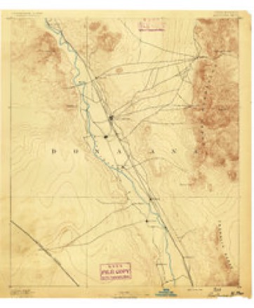
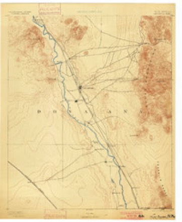
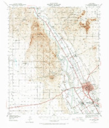
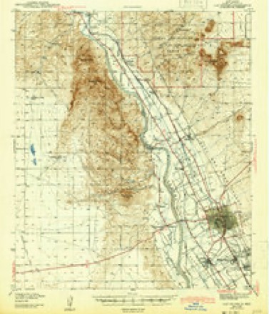
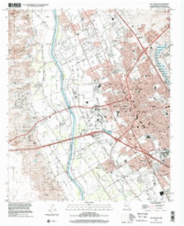
15 topographic sheets cover this place, the earliest surveyed in 1891 and the latest in 1996. It stands in the Las Cruces census division. It lies in ZIP code area 88001. It stands on Las Cruces Arroyo. The Survey maps it on the Las Cruces quadrangle. 111,385 people lived here at the 2020 count. It stands 3,907 feet above sea level.
Research this city
Population over time
5 figuresLas Cruces grew from 45,086 to 111,385 between 1980 and 2020. These are the recorded population figures Wikidata holds for this place, reached through the Geographic Names Information System number this page is keyed on rather than by name, so they belong to this place and not to another of the same name. Most are census counts, but not all are: an early figure may be a founding or settlement estimate, and an estimate published within five years of a census is left out. The change column is computed, and is left blank where more than 20 years separate a figure from the one before it, because a gap that long is not a change between two counts.
| Year | People | Change |
|---|---|---|
| 1980 | 45,086 | |
| 1990 | 62,360 | +17,274 (+38%) |
| 2000 | 74,267 | +11,907 (+19%) |
| 2010 | 97,618 | +23,351 (+31%) |
| 2020 | 111,385 | +13,767 (+14%) |
Topographic sheets covering this place
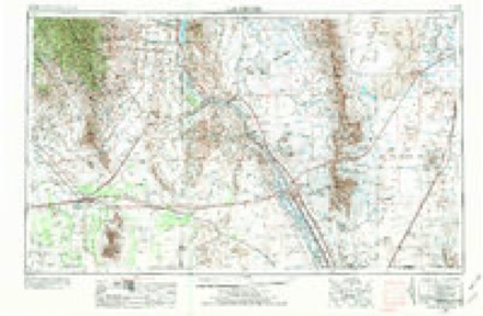
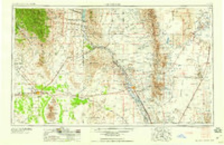
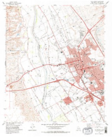
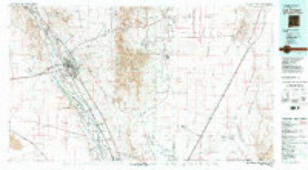
9 surveys from 15 printed sheetsMatched by testing this settlement's coordinate against the published boundary of every sheet in the United States Geological Survey's historical collection. Each opens the scanned sheet at the Survey.
- 1891 USGS Las Cruces quadrangle1:125000
- 1893 USGS Las Cruces quadrangle1:125000, 4 printings
- 1941 USGS Las Cruces quadrangle1:62500, 2 printings
- 1943 USGS Las Cruces quadrangle1:62500
- 1955 USGS Las Cruces quadrangle1:250000, 3 printings
- 1958 USGS Las Cruces quadrangle1:250000
- 1978 USGS Las Cruces quadrangle1:24000
- 1982 USGS Las Cruces quadrangle1:100000
- 1996 USGS Las Cruces quadrangle1:24000
Photographs
8 of 31 photographs shown, 2021Taken for the Office of War Information and the Farm Security Administration, who photographed the country between 1935 and 1944. Works of United States government photographers, with no known restriction on use. Each opens its catalogue record.
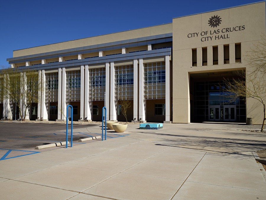
Highsmith, Carol M, 2021. Library of Congress

Highsmith, Carol M, 2021. Library of Congress

Highsmith, Carol M, 2021. Library of Congress
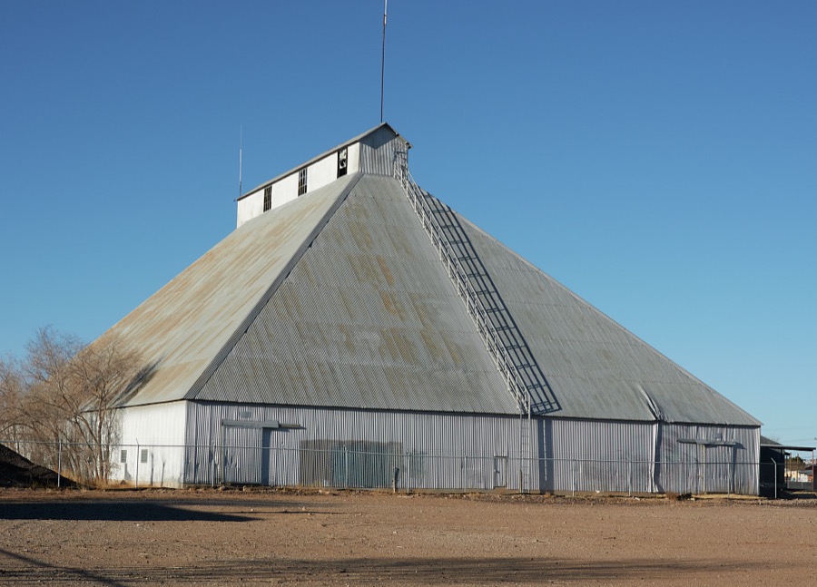
Highsmith, Carol M, 2021. Library of Congress

Highsmith, Carol M, 2021. Library of Congress
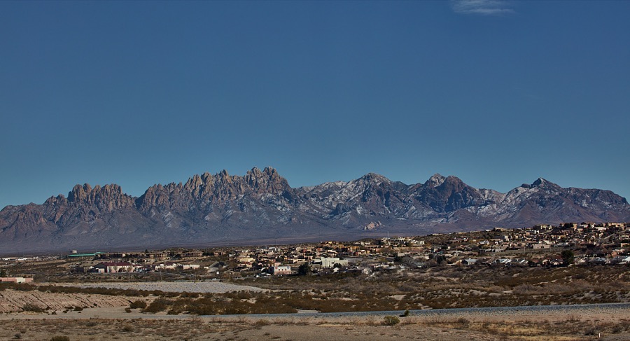
Highsmith, Carol M, 2021. Library of Congress
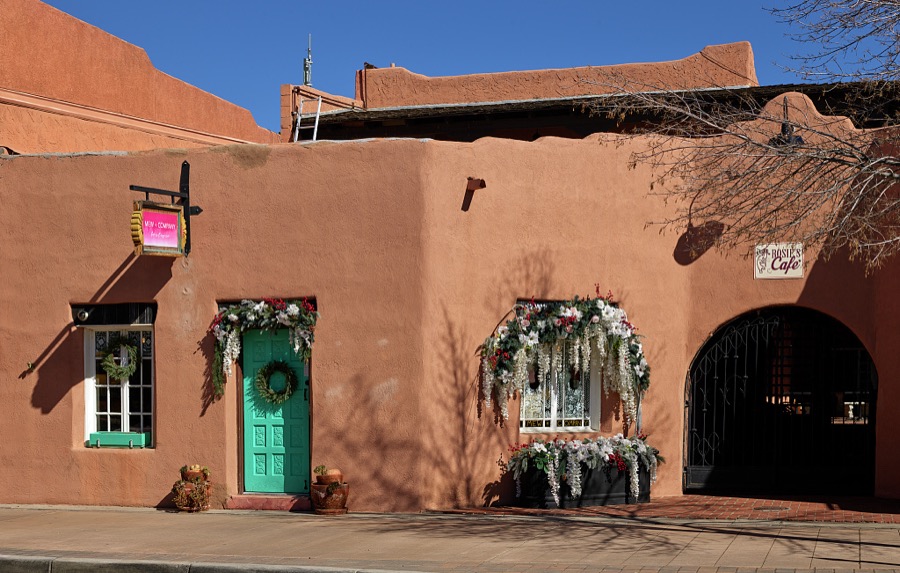
Highsmith, Carol M, 2021. Library of Congress

Highsmith, Carol M, 2021. Library of Congress
Every photograph of Doña Ana County
Fires near this place
7 since 1994Regional context, not property-specific evidence. The federal wildfire occurrence database lists 7 fires within 5 miles of Las Cruces between 1994 and 2002, burning about 57 acres in total. None started naturally. None was recorded as arson. Distance is straight-line from the map coordinates, so a fire counted here may appear on a neighbouring settlement's page as well.
| Reported cause | Fires |
|---|---|
| Missing data/not specified/undetermined | 7 |
The most recent of them, most recent first, with the day each was reported and the service that recorded it.
| Date | Cause | Size | Reported by | Name on the report |
|---|---|---|---|---|
| 23 May 2000 | Missing data/not specified/undetermined | under an acre | Las Cruces Field Office | PICACHO |
| 2 May 1995 | Missing data/not specified/undetermined | 7.0 acres | New Mexico State Forestry Division | LEVEE |
| 10 May 2000 | Missing data/not specified/undetermined | 5.0 acres | Las Cruces Field Office | ANGI |
| 27 April 2000 | Missing data/not specified/undetermined | 3.0 acres | Las Cruces Field Office | COSMO |
| 14 April 2002 | Missing data/not specified/undetermined | 2.0 acres | Las Cruces Field Office | MESILLA |
| 14 April 2000 | Missing data/not specified/undetermined | under an acre | Las Cruces Field Office | GLASS |
| 14 April 1994 | Missing data/not specified/undetermined | 40 acres | New Mexico State Forestry Division | WOODMAN PARK |
Settlements close enough to share some of these fires:
Mines and quarries near this place
10 of 22 shownRegional context, not property-specific evidence. The federal mineral resources record lists 22 workings within 5 miles of Las Cruces: 6 producers, 6 past producers, 6 unknowns, 4 occurrences. 6 still produce. What was taken out: Sand and Gravel, Construction, Stone, Crushed/Broken, Manganese, Fluorine-Fluorite. Distance is straight-line from the map coordinates, so a quarry counted here may appear on a neighbouring settlement's page as well.
| Where | Site | Commodity | Status | Recorded |
|---|---|---|---|---|
| East Dagger Flat Prospect | Copper | Occurrence | Malachite | |
| Las Alturas Estates Wells | Geothermal | Unknown | ||
| Jones and Santiago Deposit | Fluorine-Fluorite | Occurrence | Fluorite | |
| Last Chance Group | Manganese | Occurrence | Vein | |
| Manganese No | Manganese | Occurrence | ||
| Santiago | Fluorine-Fluorite | Unknown | ||
| Materials Pit 57-8-S | Stone, Crushed/Broken | Past Producer | ||
| Materials Pit 60-46-S | Stone, Crushed/Broken | Past Producer | ||
| Unnamed Limestone Quarry | Stone, Crushed/Broken | Producer | Limestone | |
| A Mountain - Inman Pit | Sand and Gravel, Construction | Unknown |
Storms near this place
49 since 1993Regional context, not property-specific evidence. The National Weather Service names Las Cruces in 49 storm reports between 1993 and 2017: 20 hail, 14 thunderstorm wind, 10 flash flood, 3 tornado. No death or injury is recorded in these reports. Each account below is quoted exactly as the forecast office filed it, from the NOAA Storm Events Database, and each date opens the federal record of that event.
| When | Event | Place named | Harm | What the report says |
|---|---|---|---|---|
| June 1997 | Hail | Las Cruces | $3,500,000 | no account filed |
| September 2005 | Flash Flood | Las Cruces | $1,000,000 | Major flooding occurred across most of the Las Cruces area as a thunderstorm complex dropped heavy rain during a 3 hour time frame. Rainfall reports were widespread 2 to 3 inches with isolated amounts around 4 inches. All major roads were flooded with a few intersections under 4 feet of water. Sandbags were put up until resources were exhausted. The rainfall amounts were not extremely unusual, just the areal coverage. |
| June 1999 | Flash Flood | Las Cruces | $300,000 | Three to four inches of rain fell in the East Mesa area of Las Cruces. Water running off the nearby Organ Mountains caused considerable damage to mobile homes, homes and washed out roads. The high water had some residents on the east side of Las Cruces trapped in their homes for several hours. A 70 year old woman had to be rescued after trying to cross a flooded road in her car. |
| July 2008 | Thunderstorm Wind | Las Cruces | $50,000 | A wind gust of 58 mph was measured at the Las Cruces Airport during a severe thunderstorm. However, the winds were estimated at 65 mph near Mayfield High School were several trees were blown over and minor structural damage occurred. |
| August 2001 | Thunderstorm Wind | Las Cruces | $30,000 | A wet microburst blew the roof off a portion of an apartment complex. Some windows were blown out in the downtown area, and several power lines were downed. |
| August 2002 | Flood | Las Cruces | $30,000 | no account filed |
| August 2005 | Thunderstorm Wind | Las Cruces | $20,000 | no account filed |
| August 2002 | Thunderstorm Wind | Las Cruces | $20,000 | no account filed |
| July 2002 | Thunderstorm Wind | Las Cruces | $1,000 | no account filed |
| July 2014 | Flash Flood | Las Cruces | - | Las Cruces Police reported flooding in the Picacho Hills area down by the river. |
| July 2012 | Heavy Rain | Las Cruces | - | Thunderstorms continued to form over the region and produce periods of heavy rainfall. Minor flooding was reported along US Highway 70 at Porter road. Meanwhile lightning strikes in the nearby Organ Mountains resulted in the ignition of a small wildfire. |
| July 2010 | Hail | Las Cruces | - | One inch hail was reported 3 miles northwest of Las Cruces and also 2 miles northeast of Las Cruces. |
| April 2007 | Tornado (EF0) | Las Cruces | - | A funnel cloud briefly touched down north of Interstate 10 near mile marker 112. |
| July 2006 | Flash Flood | Las Cruces | - | Arroyos were running out of banks, with water 1 foot deep on streets 5.5 miles northeast of Las Cruces. |
| September 2006 | Tornado (F0) | Las Cruces | - | A Las Cruces City Police officer sighted a tornado which briefly touched down west of Mesilla. It was in an area with no structures. |
| September 2006 | Flash Flood | Las Cruces | - | Several roads were flooded with a number of them closed in Las Cruces. |
| October 2006 | Hail | Las Cruces | - | The fourth and final supercell of the outbreak brought nickel to quarter size hail that piled more than 6 inches high in the southern part of the city. Patches of hail were still visible the next afternoon. |
| June 2001 | Tornado (F0) | Las Cruces | - | A weak tornado (landspout), which began as a dust devil that eventually moved under a developing thunderstorm, stayed on the ground for 15 minutes just east of Las Cruces. It remained over open country but was observed by thousands. Unrelated wind damage from 45 mph thunderstorm outflow elsewhere in the city was falsely attributed to this landspout. |
| October 2000 | Thunderstorm Wind | Las Cruces | - | A low top supercell with a weakly rotating wall cloud was accompanied by 70 mph winds, 1/4 to 1/2 inch hail which completely covered the ground, and 0.9 inches of rain in less than 10 minutes as it passed over the Mesilla Park area. |
| May 1994 | Thunderstorm Wind | Las Cruces | - | An early evening thunderstorm produced wind gusts estimated at 65 mph which blew over several utility poles and damaged several small sheds and carports. |
| May 1994 | Hail | Las Cruces | - | A short, but intense hail storm ravaged fields of chile, cotton and pecans. Hail to one-half inch accumulated to nearly six inches deep in a few locations. |
| March 1993 | Thunderstorm Wind | Las Cruces | - | Thunderstorm winds were estimated at 55 knots (63 mph) at the Las Cruces airport at 1625 MST. |
| January 2017 | Hail | Las Cruces | - | no account filed |
| October 2015 | Hail | Las Cruces | - | no account filed |
| October 2015 | Hail | Las Cruces | - | no account filed |
| July 2014 | Hail | Las Cruces | - | no account filed |
| September 2009 | Hail | Las Cruces | - | no account filed |
| May 2007 | Hail | Las Cruces | - | no account filed |
| August 2006 | Thunderstorm Wind | Las Cruces | - | no account filed |
| August 2006 | Flash Flood | Las Cruces | - | no account filed |
| September 2006 | Flash Flood | Las Cruces | - | no account filed |
| September 2006 | Hail | Las Cruces | - | no account filed |
| February 2005 | Hail | Las Cruces | - | no account filed |
| August 2005 | Thunderstorm Wind | Las Cruces | - | no account filed |
| June 2004 | Thunderstorm Wind | Las Cruces | - | no account filed |
| June 2004 | Thunderstorm Wind | Las Cruces | - | no account filed |
| August 2004 | Hail | Las Cruces | - | no account filed |
| September 2004 | Hail | Las Cruces | - | no account filed |
| September 2004 | Hail | Las Cruces | - | no account filed |
| September 2004 | Hail | Las Cruces | - | no account filed |
| September 2004 | Flash Flood | Las Cruces | - | no account filed |
| August 2004 | Flash Flood | Las Cruces | - | no account filed |
| August 2004 | Hail | Las Cruces | - | no account filed |
| September 2003 | Thunderstorm Wind | Las Cruces | - | no account filed |
| July 2002 | Thunderstorm Wind | Las Cruces | - | no account filed |
| May 1999 | Hail | Las Cruces | - | no account filed |
| August 1999 | Hail | Las Cruces | - | no account filed |
| August 1997 | Hail | Las Cruces | - | no account filed |
| August 1997 | Flash Flood | Las Cruces | - | no account filed |
Newspapers printed here
307 digitised pages1 paper published in this town, digitised by the Library of Congress and free to read: 76 issues, 307 pages. Every page is searchable, so a name or a street can be looked for directly in what the town printed about itself at the time.
| Newspaper | Published |
|---|---|
| Rio Grande Republican | 1881 to 1914 |
What the paper printed
968 wordsFront pages of the local paper, read from the Library of Congress scans: 2 issues spread across its run from 1888 to 1889, 968 words in total. Each is reproduced on its own page, exactly as the recogniser returned it.
These pages read less well than anything else here, and the number is worth stating: about three words in four come through cleanly, against nine in ten for the building records. An 1896 broadsheet sets eight-point type in seven columns on microfilm, which is the hardest thing in this archive to read by machine. We tested our own recognisers against the Library's and they were not better, so the Library's text is what appears, with the wholly unreadable columns removed. Read it as a guide to what the paper covered, and follow the link to the scan before quoting anything.
| Issue | Paper | Length |
|---|---|---|
| 1888-11-24 | Rio Grande Republican | 268 words |
| 1889-03-23 | Rio Grande Republican | 700 words |
Nearest settlements
The eight closest, with where each one stands in the county. Distances are straight-line, computed from the Geographic Names Information System coordinates.
| Map | Place | Distance | Sheets |
|---|---|---|---|
| University Park | 2.4 miles | 15 | |
| Mesilla Park | 2.6 miles | 15 | |
| Mesilla | 3.1 miles | 15 | |
| San Ysidro | 3.2 miles | 15 | |
| Tortugas | 3.2 miles | 15 | |
| Four Points | 3.3 miles | 15 | |
| Fairacres | 3.7 miles | 15 | |
| Picacho | 3.9 miles | 15 |
Elsewhere
Matched on this settlement's Geographic Names Information System number rather than its name, so it cannot be a different place of the same name in another state.
| Wikipedia article on Las Cruces | An encyclopaedic summary. Its text is share-alike, so it is linked here rather than copied. |
| Wikidata item Q33264 | The structured record the population and elevation above come from. Public domain (CC0). |
Provenance
This settlement is recorded in the Geographic Names Information System as feature 899715. The sheet list is computed by point-in-boundary test against the United States Geological Survey's historical topographic inventory. Both are works of the United States government and carry no copyright under 17 U.S.C. 105.
Wildfire. Short, Karen C. 2022. Spatial wildfire occurrence data for the United States, 1992-2020 [FPA_FOD_20221014]. 6th Edition. Fort Collins, CO: Forest Service Research Data Archive. https://doi.org/10.2737/RDS-2013-0009.6 Collected with United States Government funding and usable without additional permissions or fees.
Mines and quarries. USGS Mineral Resources Data System (MRDS) https://mrdata.usgs.gov/mrds/ A work of the United States government, no copyright under 17 U.S.C. 105.
Storms. NOAA National Centers for Environmental Information, Storm Events Database https://www.ncei.noaa.gov/stormevents/ A work of the United States government, no copyright under 17 U.S.C. 105. Narratives are quoted verbatim from the National Weather Service report and are not edited or summarised.