 Block
Doña Ana County, New Mexico
133 topographic sheets cover 62 settlements here.
Research this county
What the record shows
- 836 topographic sheet readings cover the county's settlements.
- The Geographic Names Information System records 63 populated places in this county; 62 are covered by at least one topographic sheet.
Photographs
41 photographs, 1936 to 2025Taken for the Office of War Information and the Farm Security Administration, who photographed the country between 1935 and 1944. Works of United States government photographers, with no known restriction on use. Each opens its catalogue record.
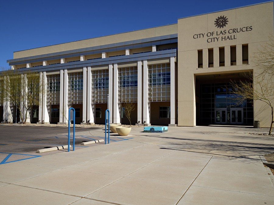
Highsmith, Carol M, 2021. Library of Congress

Highsmith, Carol M, 2021. Library of Congress

Highsmith, Carol M, 2021. Library of Congress
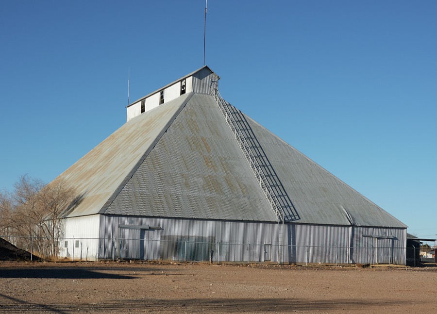
Highsmith, Carol M, 2021. Library of Congress

Highsmith, Carol M, 2021. Library of Congress

Highsmith, Carol M, 2021. Library of Congress
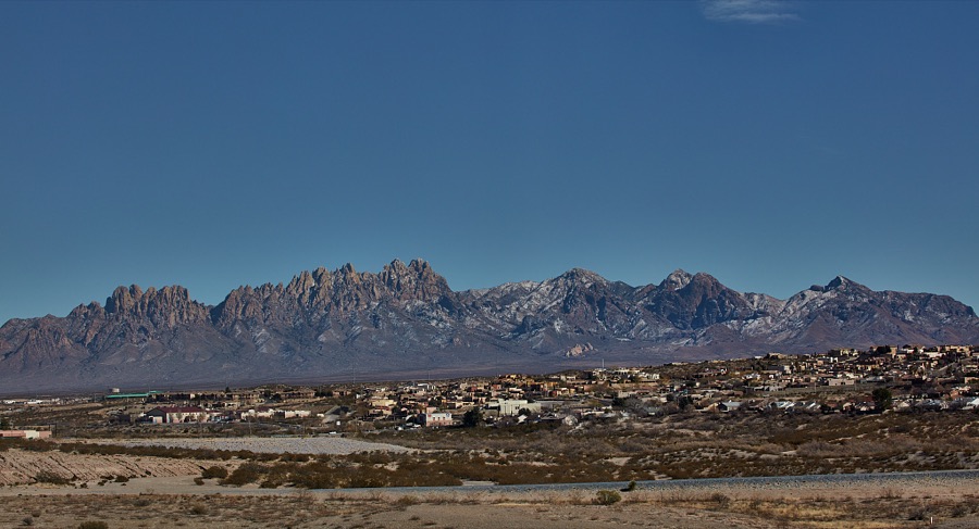
Highsmith, Carol M, 2021. Library of Congress
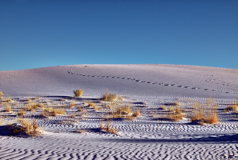
Highsmith, Carol M, 2021. Library of Congress
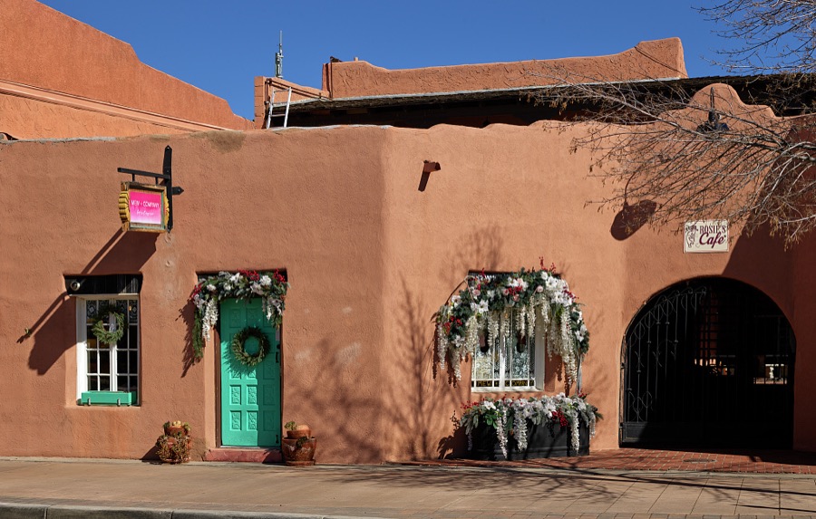
Highsmith, Carol M, 2021. Library of Congress

Highsmith, Carol M, 2021. Library of Congress
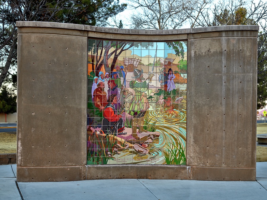
Highsmith, Carol M, 2021. Library of Congress
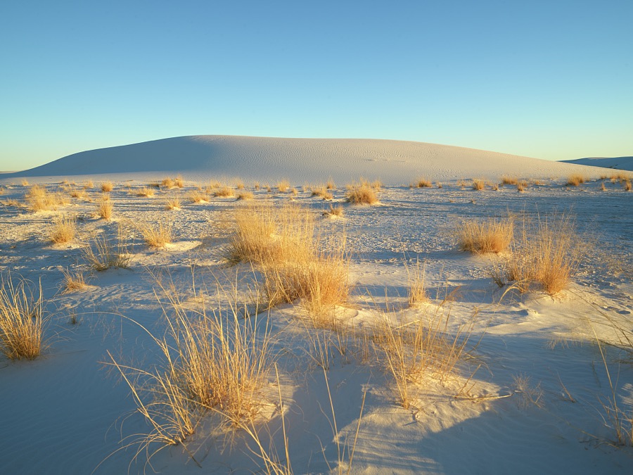
Highsmith, Carol M, 2021. Library of Congress
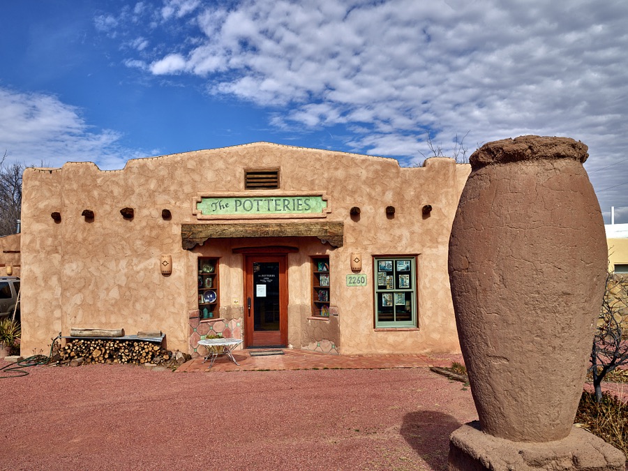
Highsmith, Carol M, 2021. Library of Congress

Highsmith, Carol M, 2021. Library of Congress
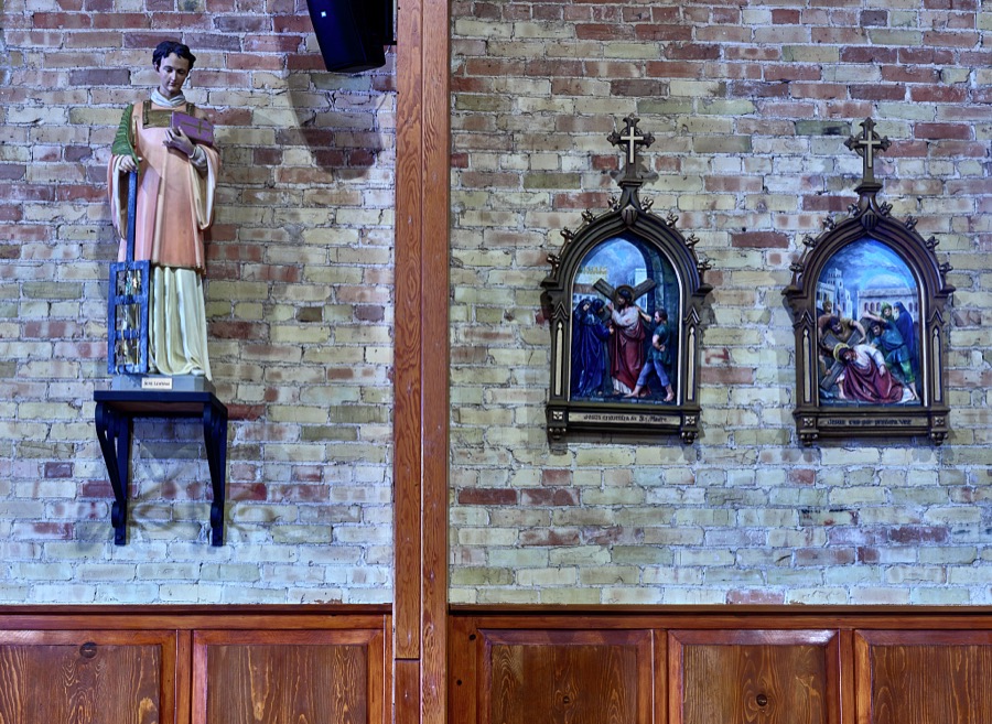
Highsmith, Carol M, 2021. Library of Congress
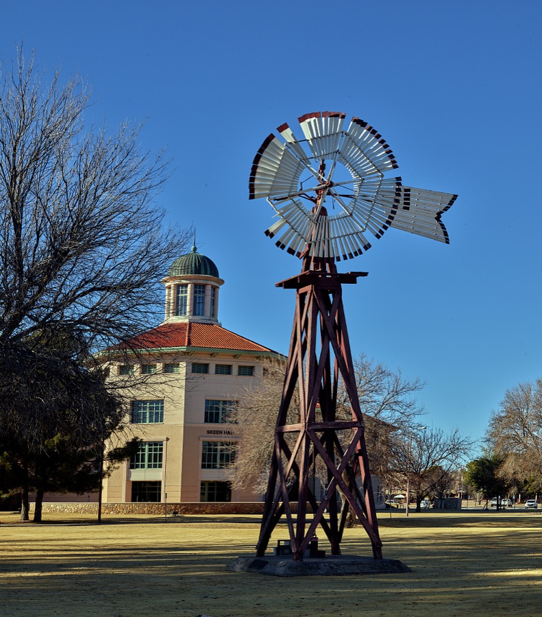
Highsmith, Carol M, 2021. Library of Congress

Highsmith, Carol M, 2021. Library of Congress
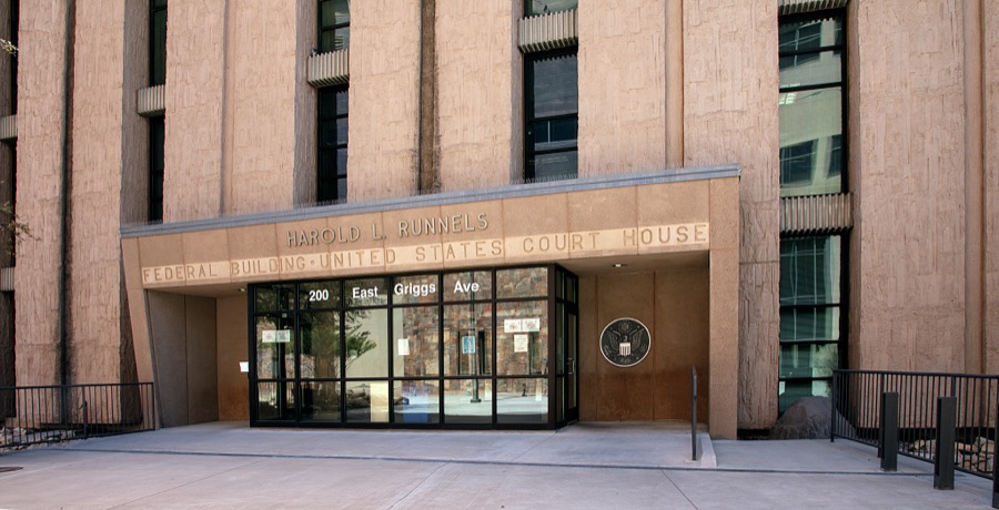
Highsmith, Carol M, 2025. Library of Congress

Highsmith, Carol M, 2021. Library of Congress
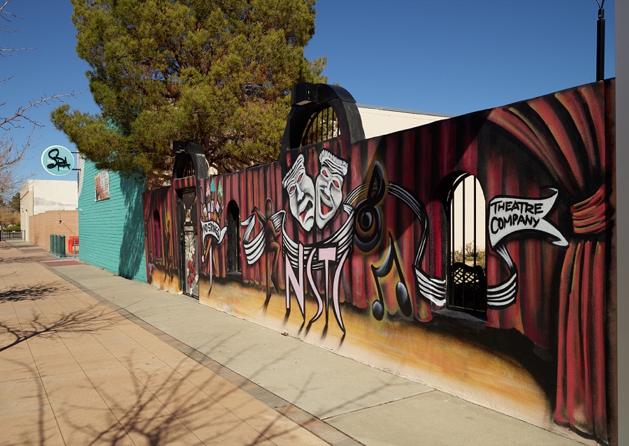
Highsmith, Carol M, 2021. Library of Congress
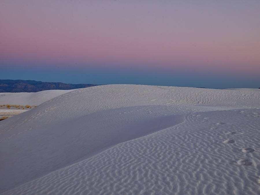
Highsmith, Carol M, 2021. Library of Congress
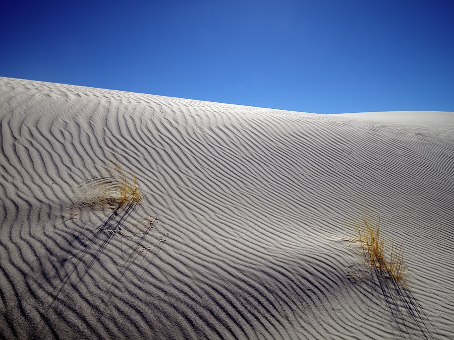
Highsmith, Carol M, 2021. Library of Congress
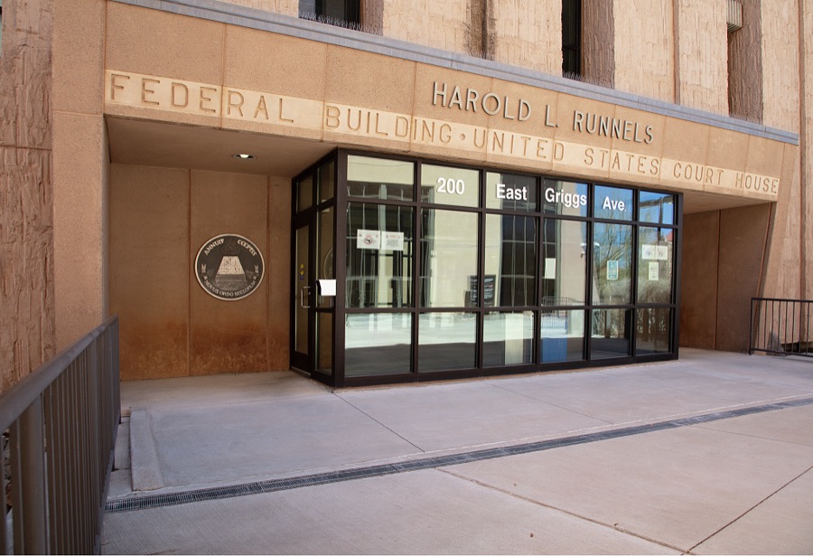
Highsmith, Carol M, 2025. Library of Congress
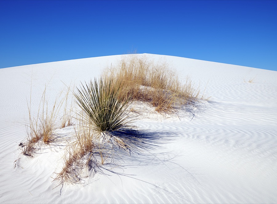
Highsmith, Carol M, 2021. Library of Congress
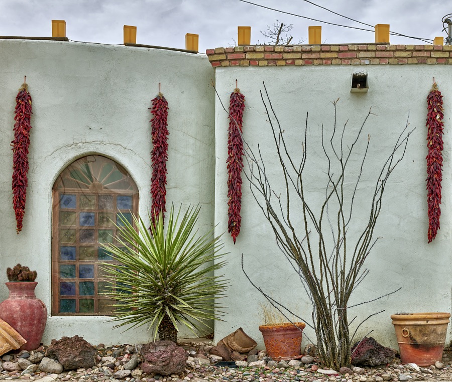
Highsmith, Carol M, 2021. Library of Congress
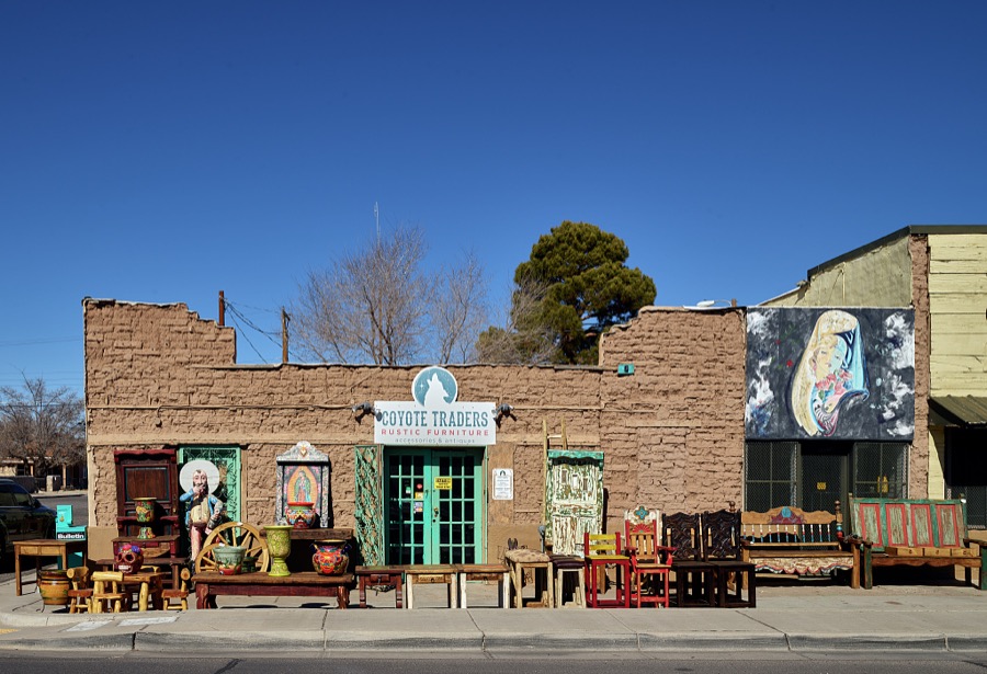
Highsmith, Carol M, 2021. Library of Congress
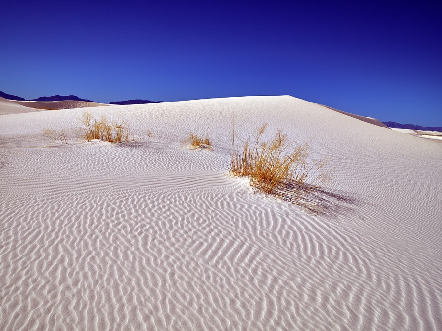
Highsmith, Carol M, 2021. Library of Congress
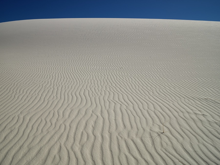
Highsmith, Carol M, 2021. Library of Congress
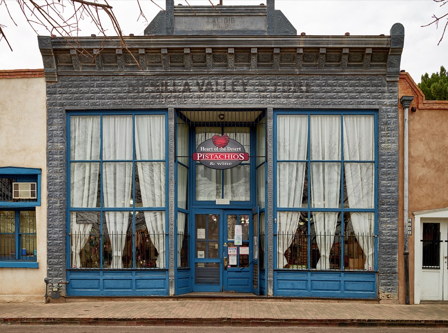
Highsmith, Carol M, 2021. Library of Congress
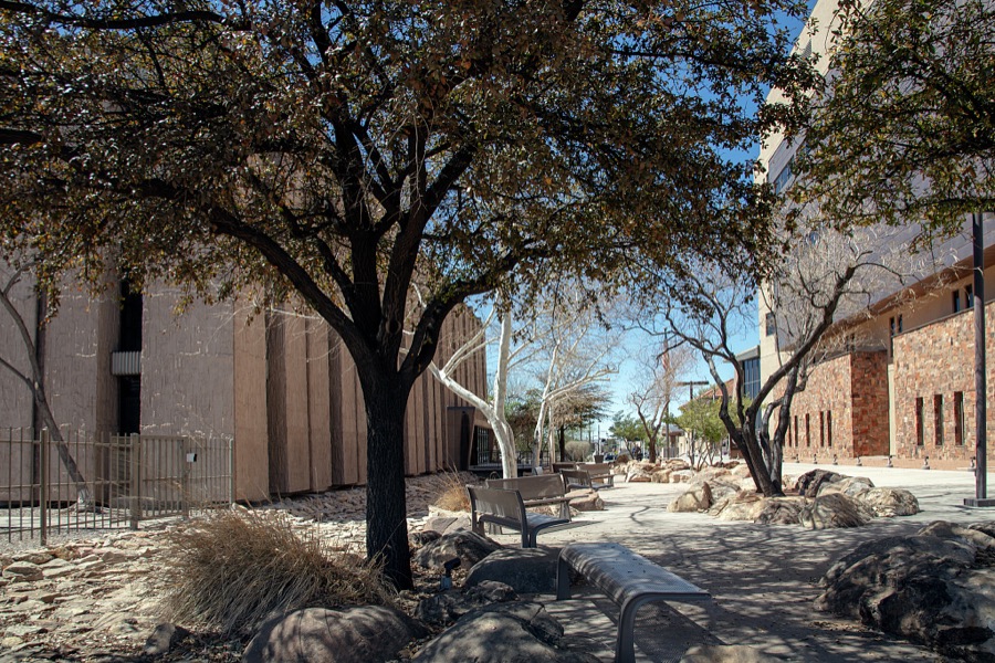
Highsmith, Carol M, 2025. Library of Congress

Highsmith, Carol M, 2021. Library of Congress
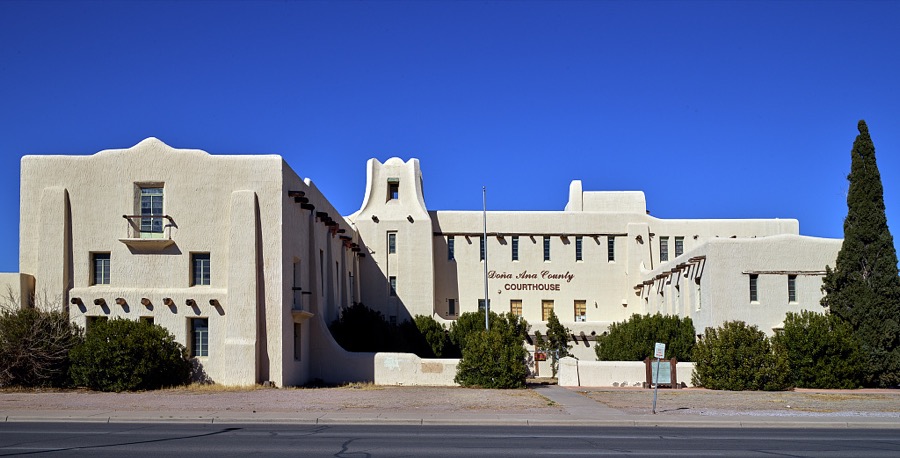
Highsmith, Carol M, 2021. Library of Congress
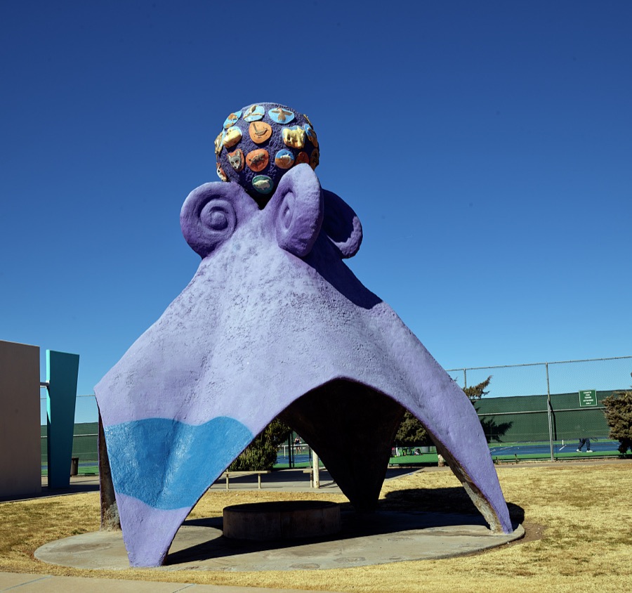
Highsmith, Carol M, 2021. Library of Congress
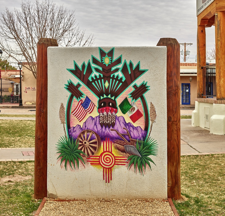
Highsmith, Carol M, 2021. Library of Congress

Highsmith, Carol M, 2021. Library of Congress
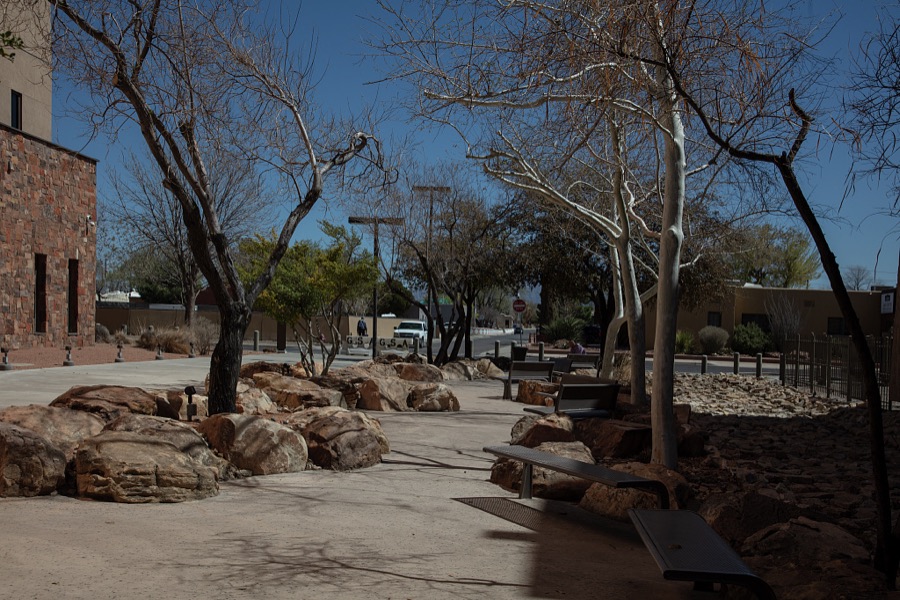
Highsmith, Carol M, 2025. Library of Congress
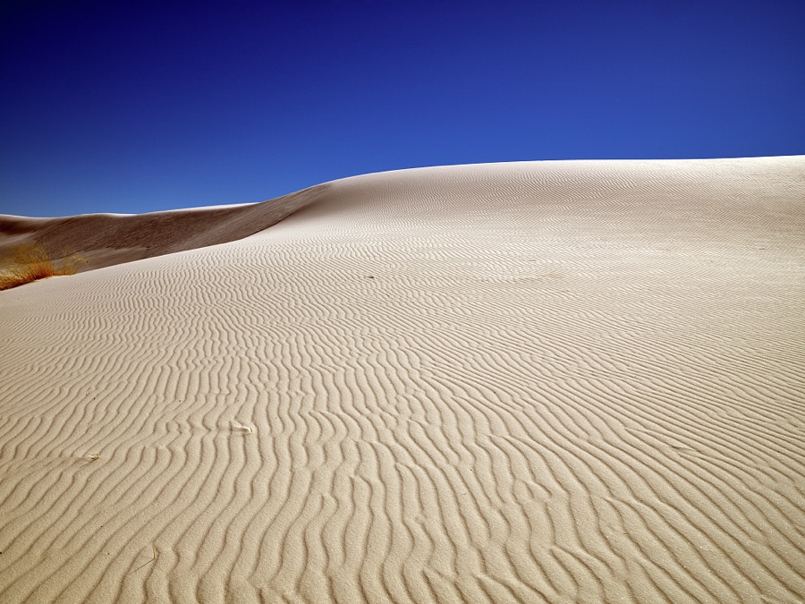
Highsmith, Carol M, 2021. Library of Congress
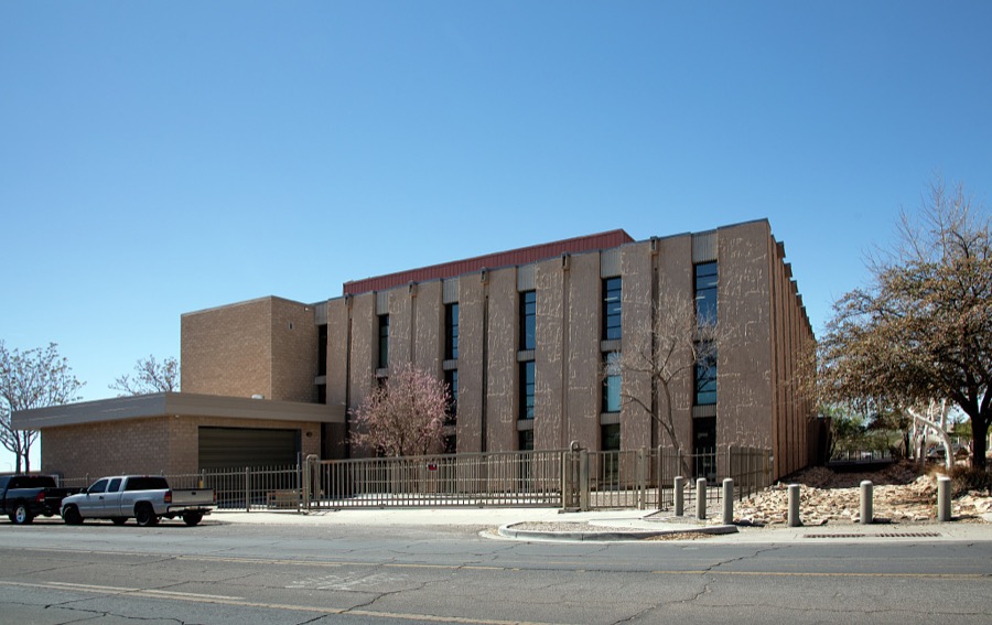
Highsmith, Carol M, 2025. Library of Congress
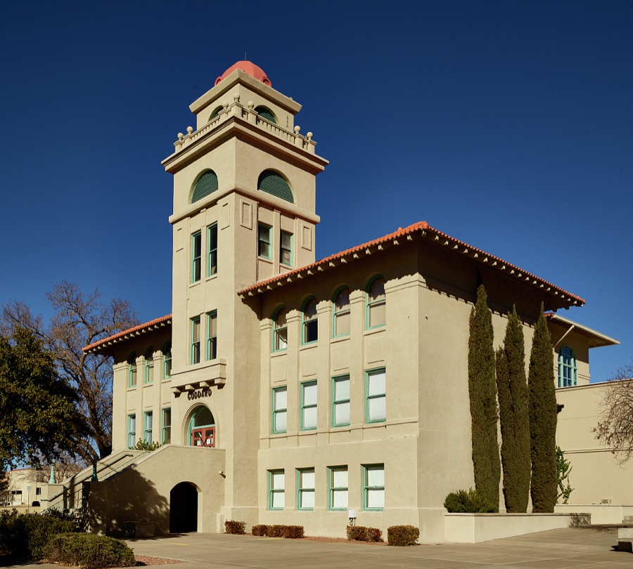
Highsmith, Carol M, 2021. Library of Congress
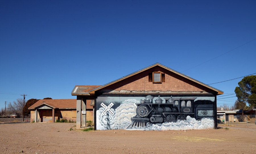
Highsmith, Carol M, 2021. Library of Congress
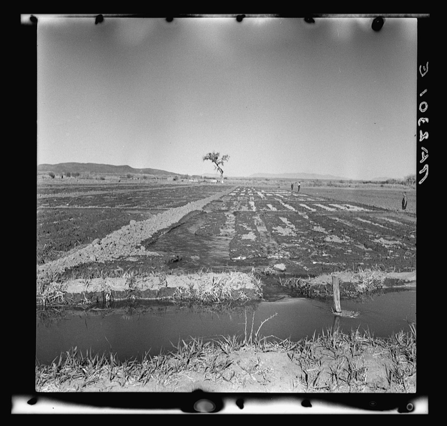
Rothstein, Arthur, 1936. Library of Congress
Digitised newspapers
4 issuesSampled issues, machine-read from the Library of Congress scan and published page by page, so every headline and column is searchable text.
The Mesilla Valley Independent
Mesilla, N.M., 1877 to 1879. Machine-read from the Library of Congress scan.
Rio Grande Republican
Las Cruces, N.M., 1881 to 1914. Machine-read from the Library of Congress scan.
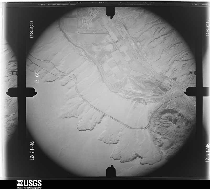
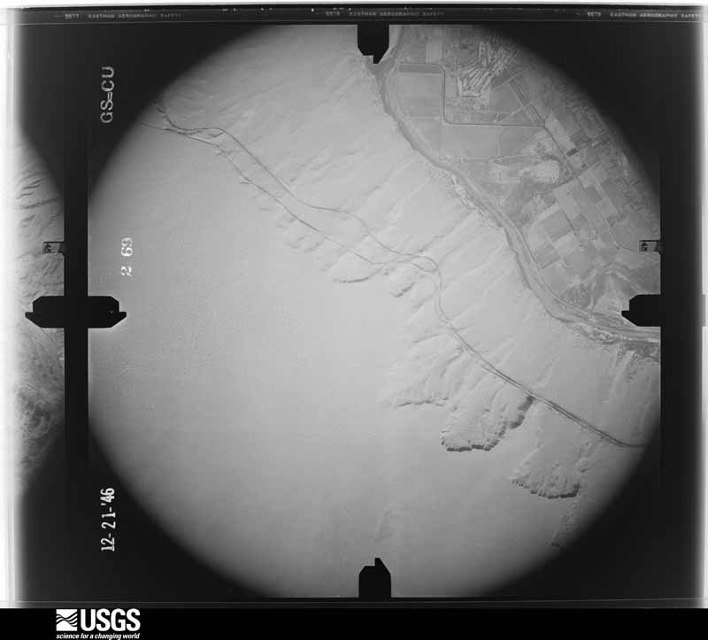
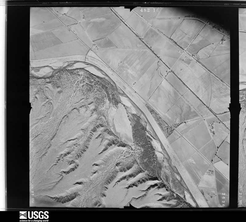
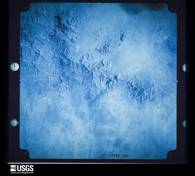
The county from the air
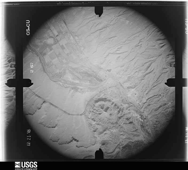
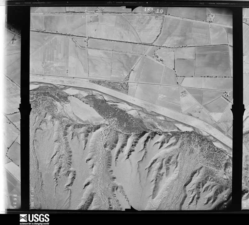
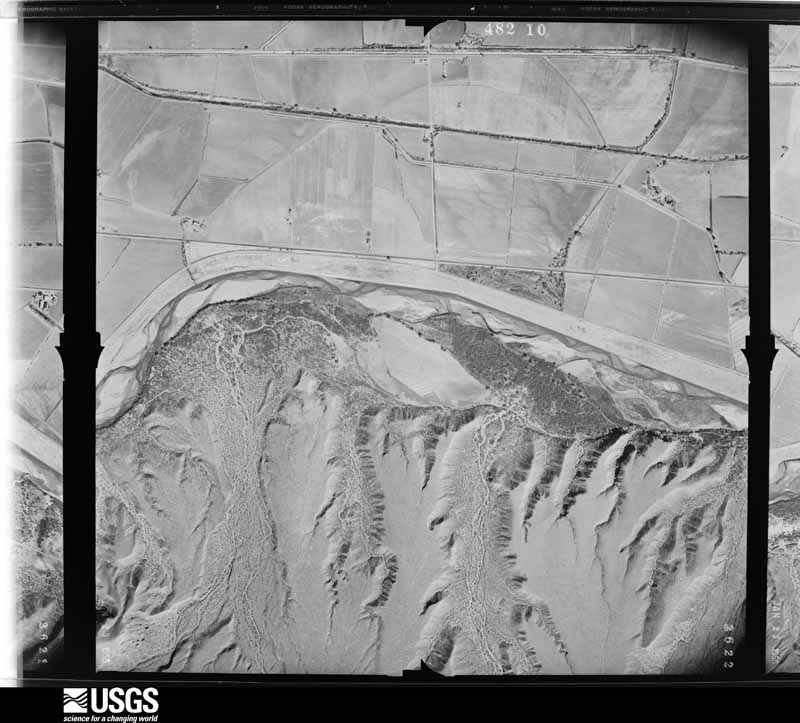
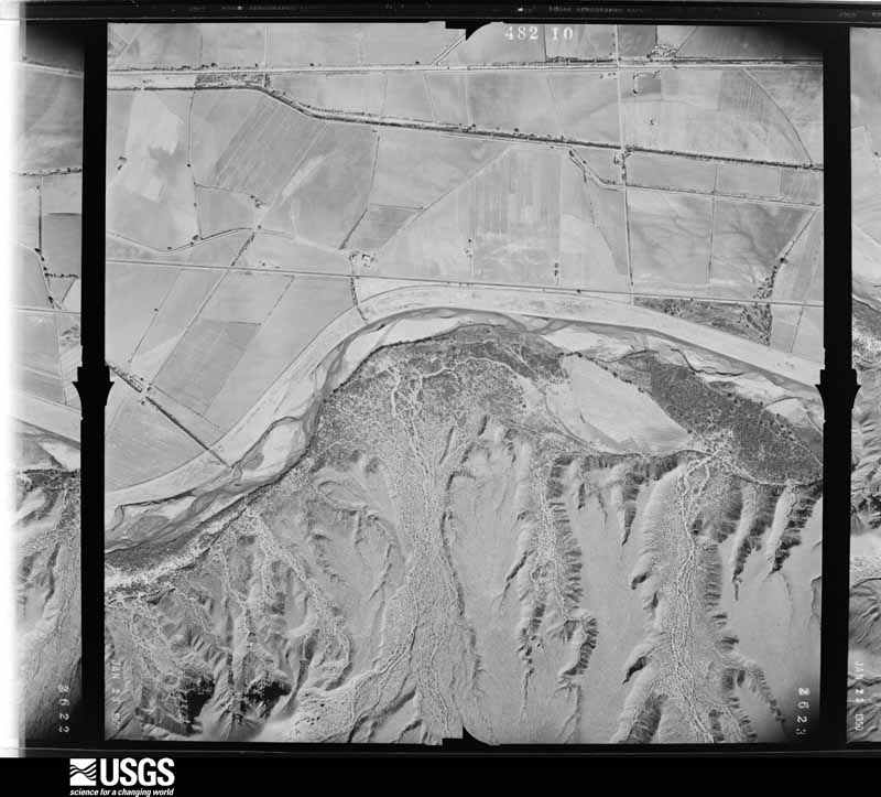
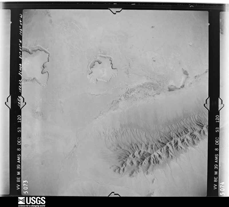
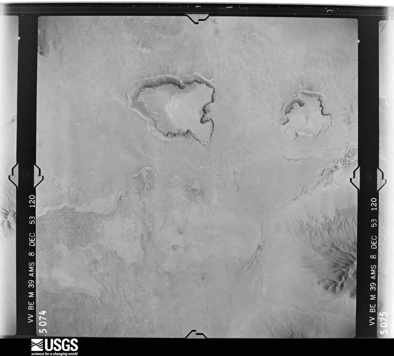
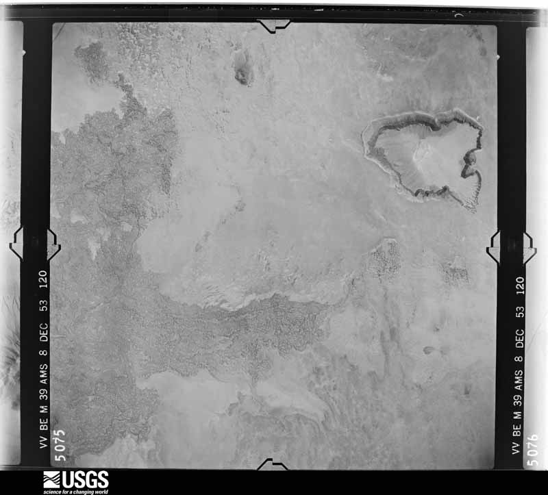
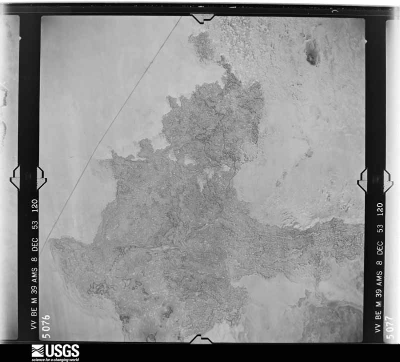
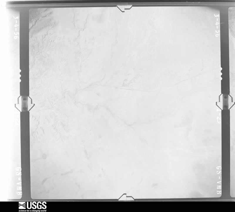
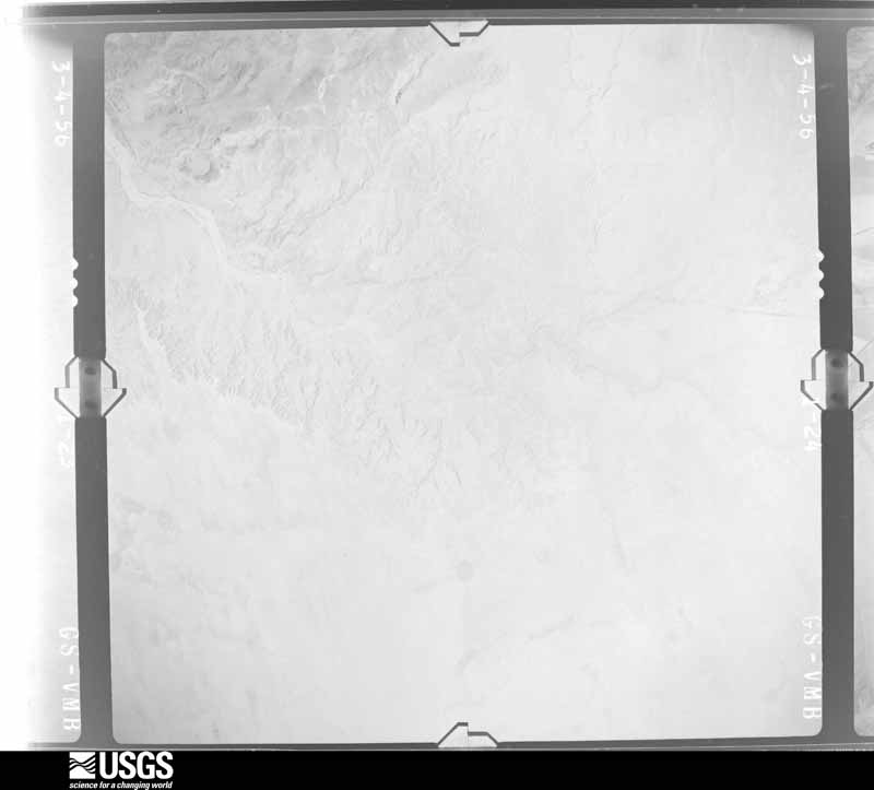
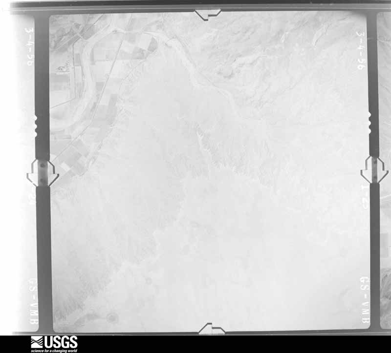
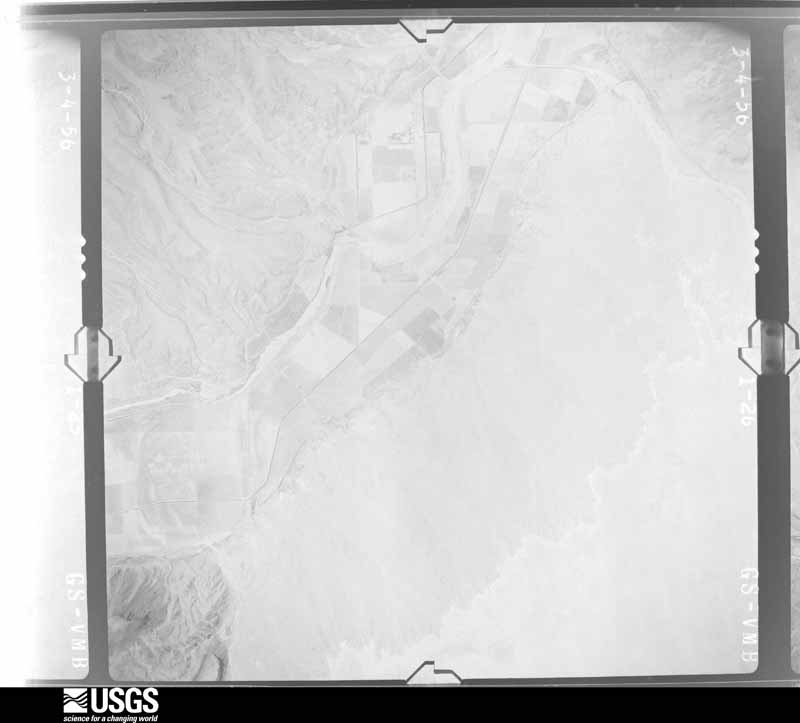
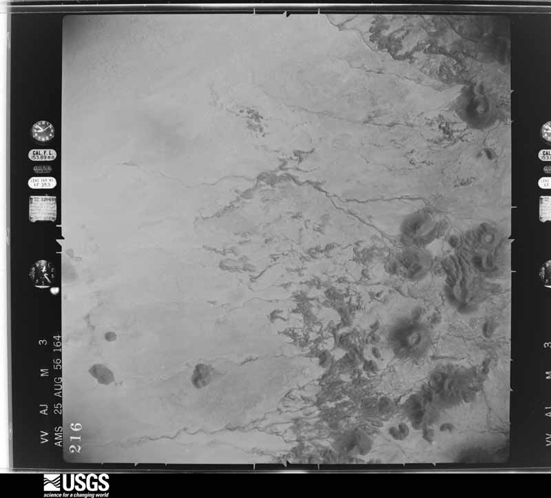
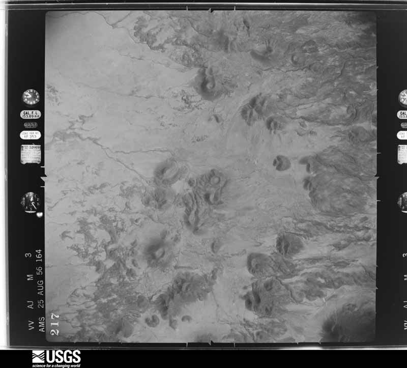
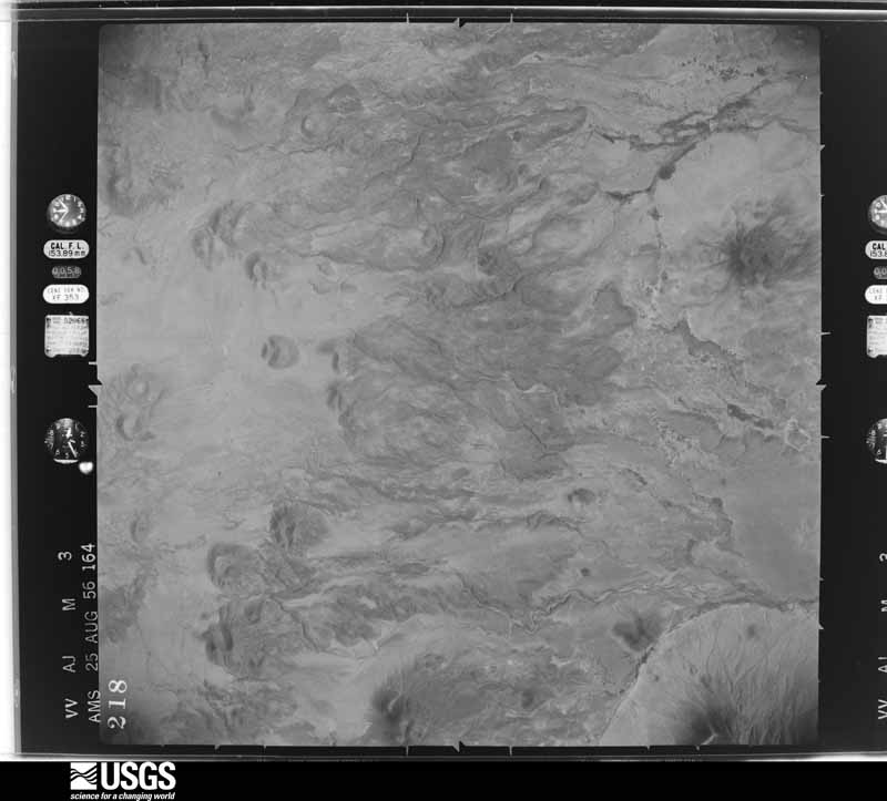
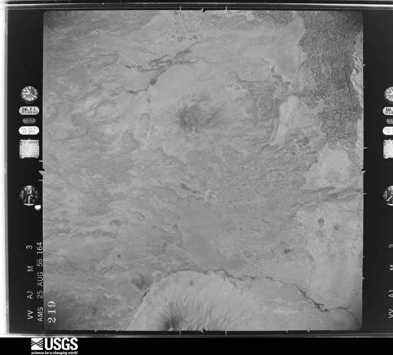
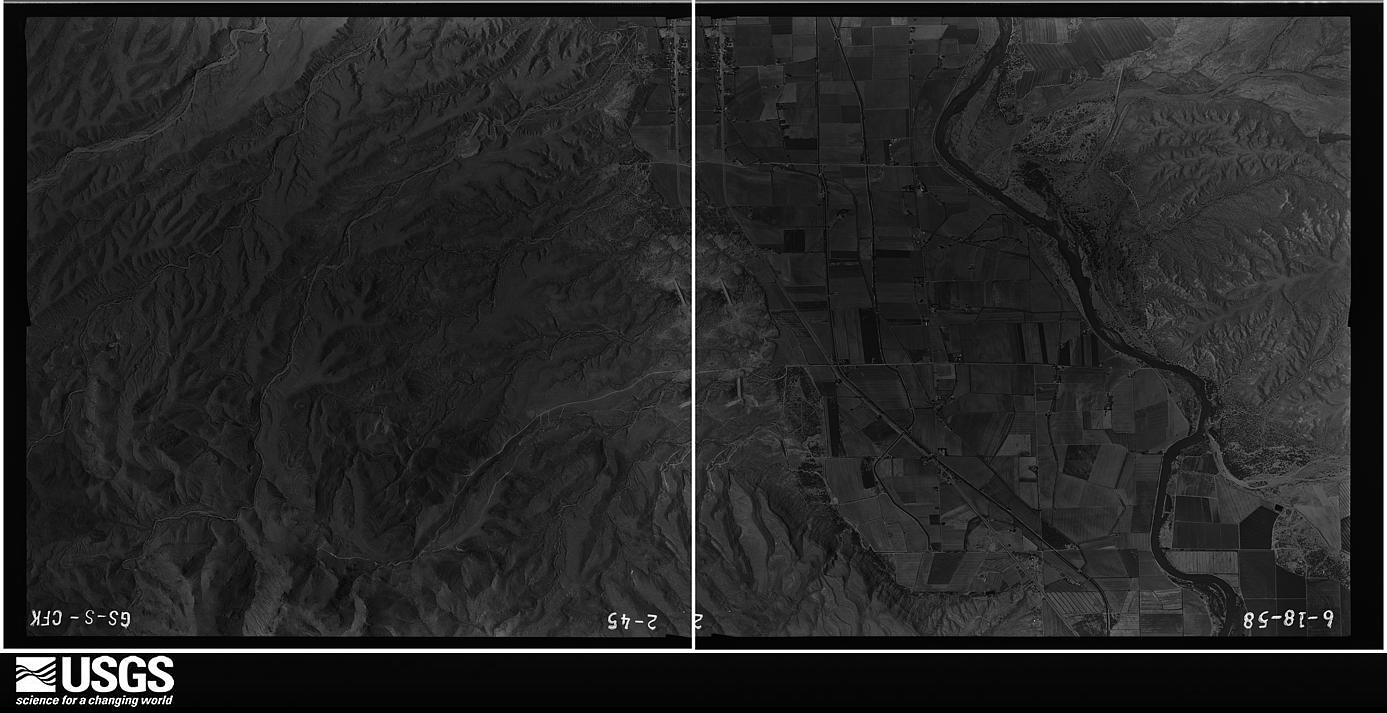
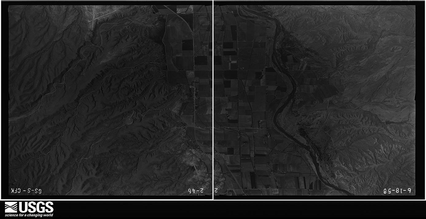
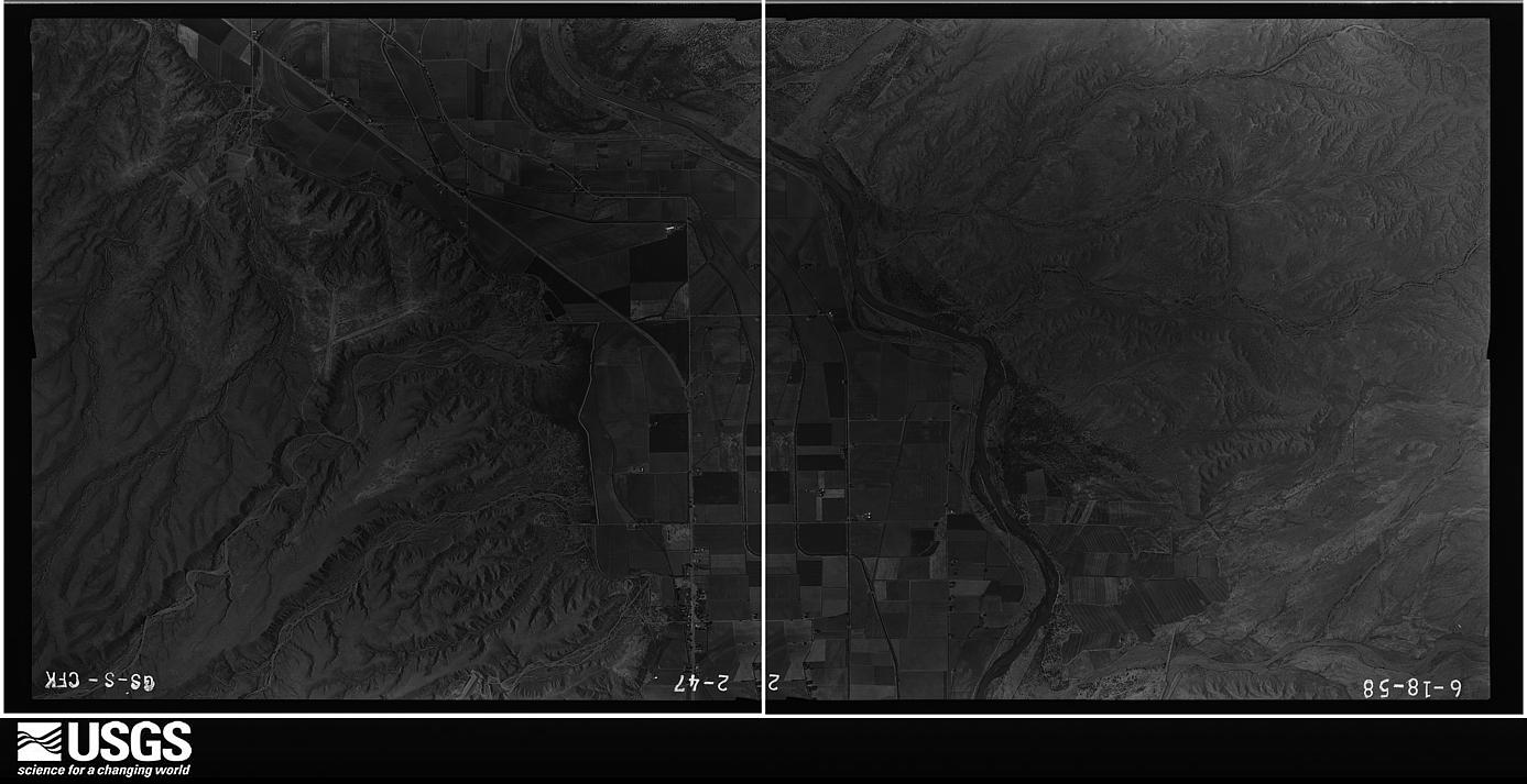
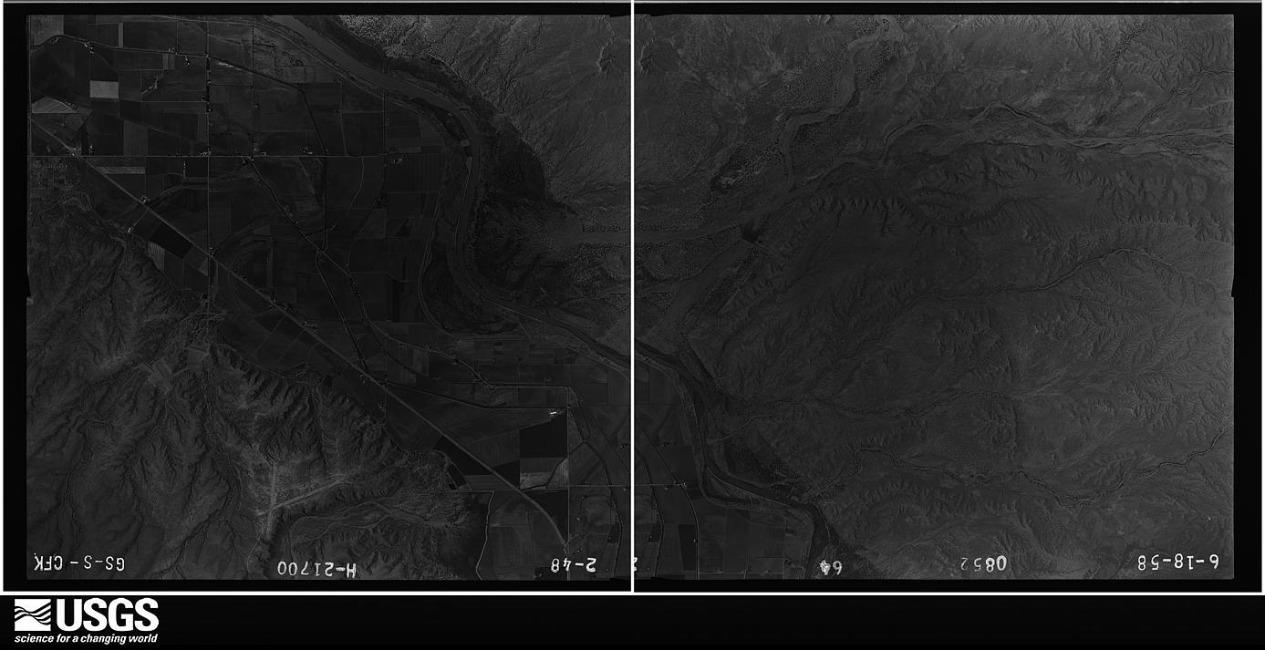
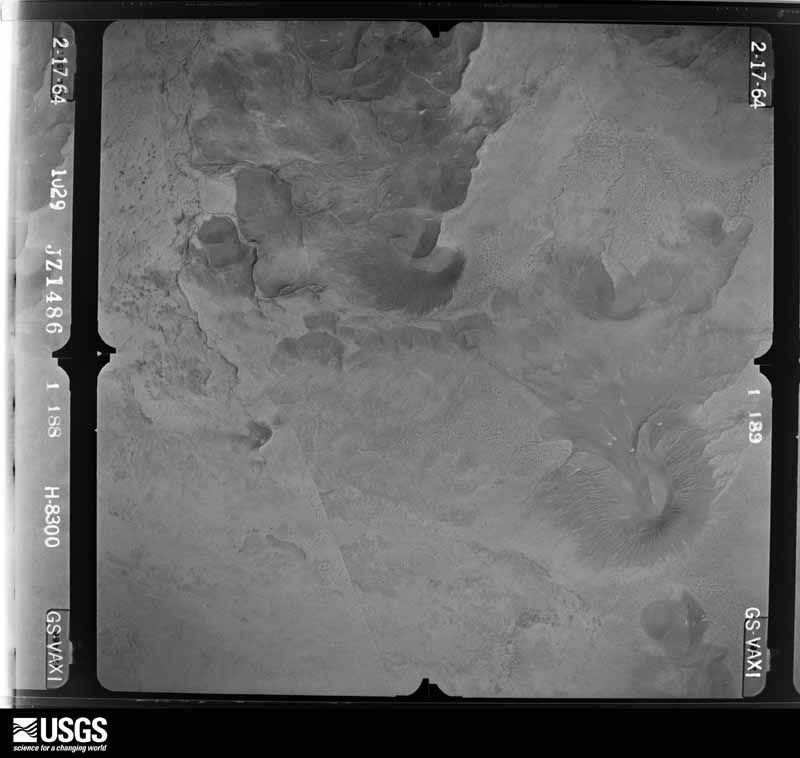
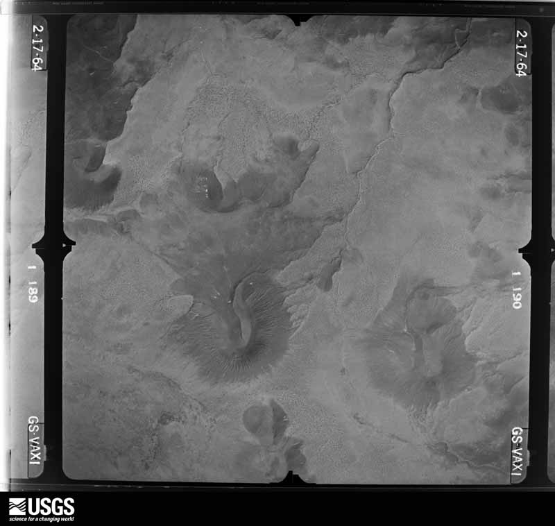
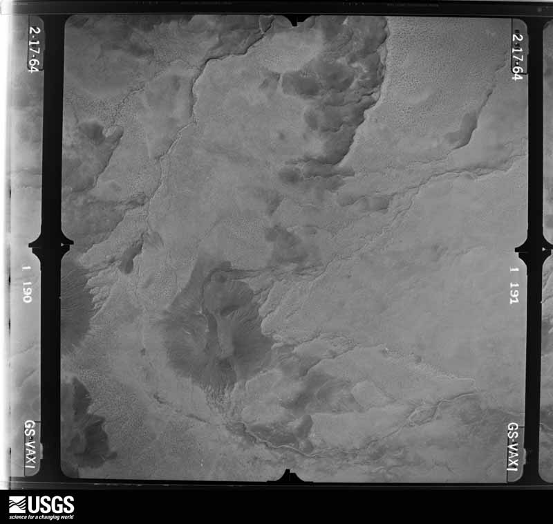
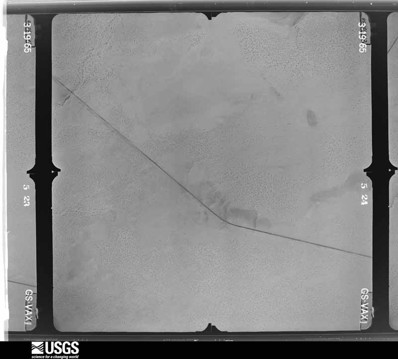
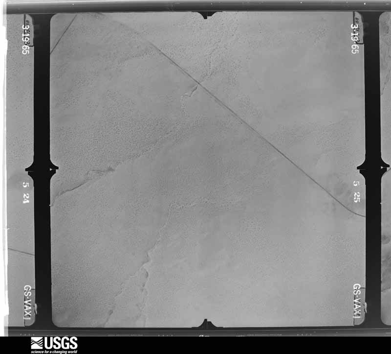
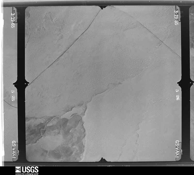
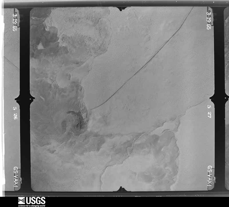
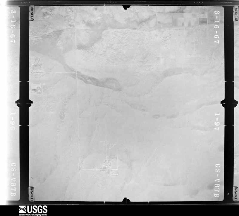
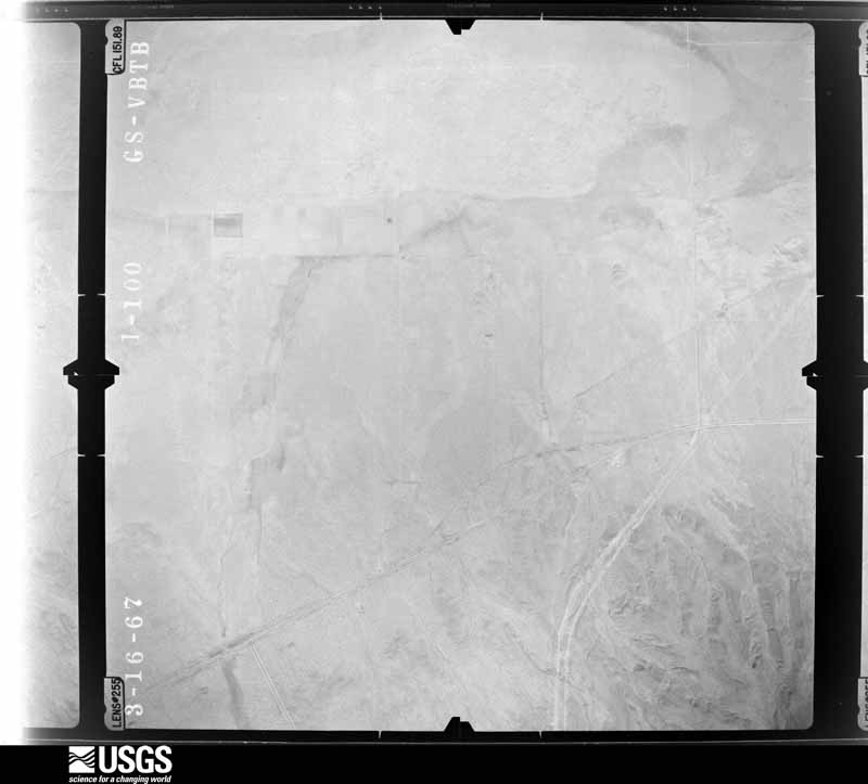
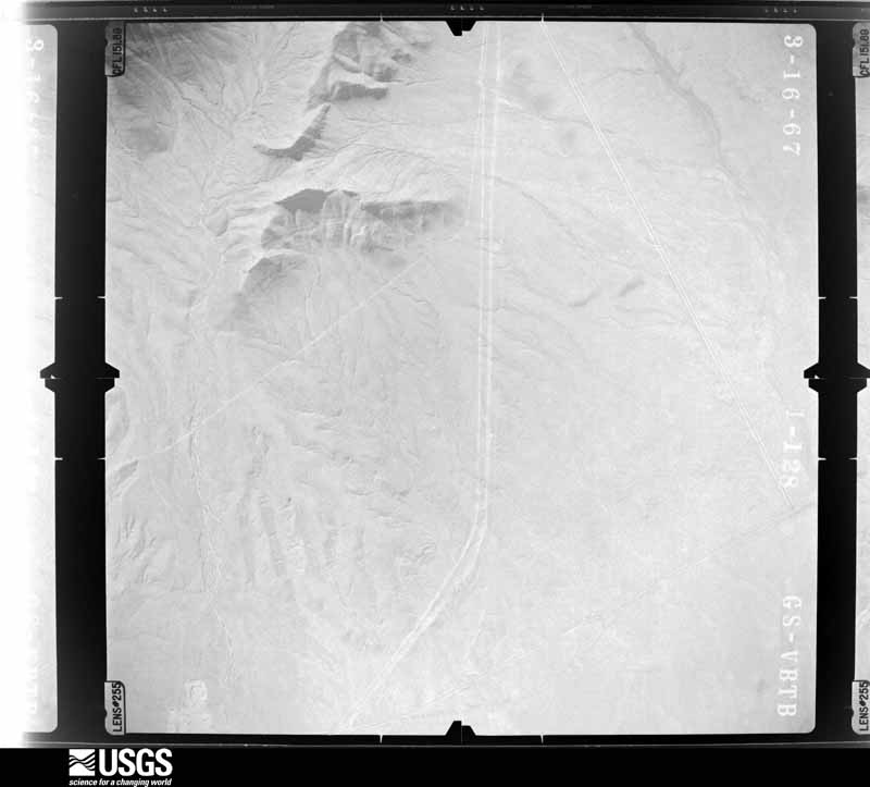
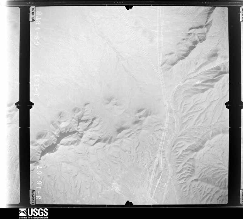
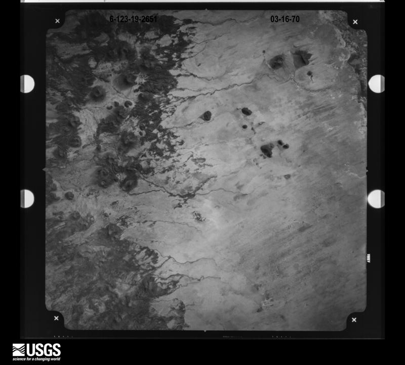
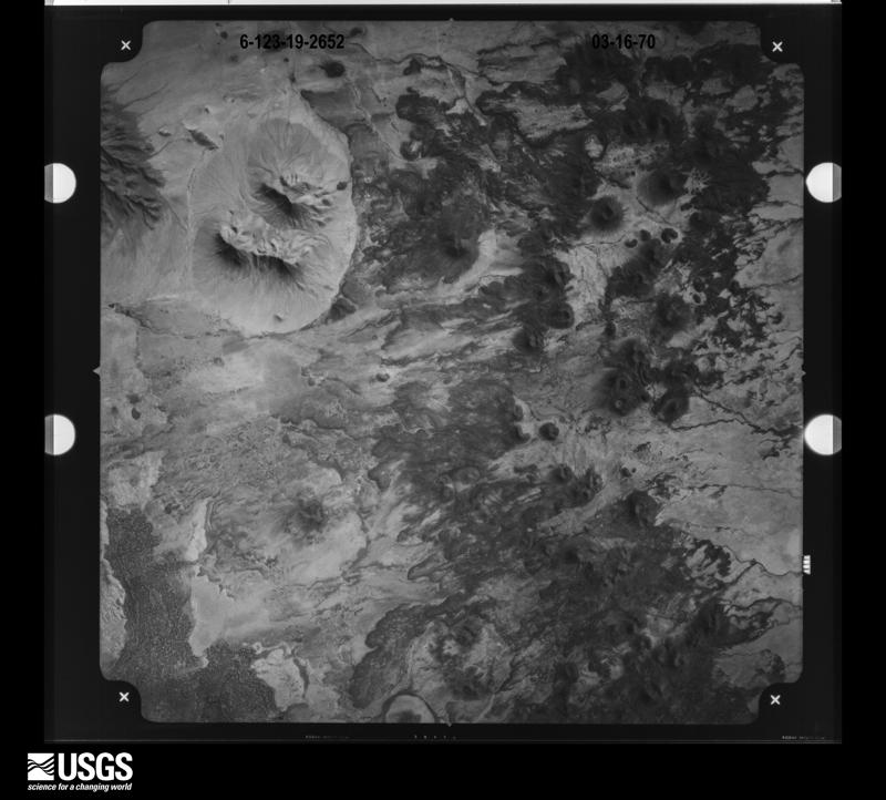
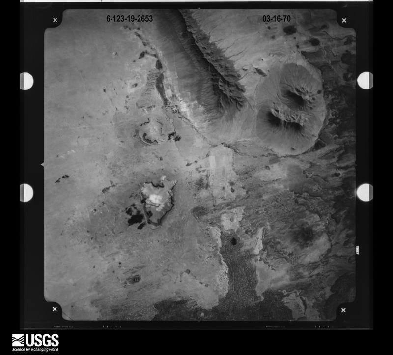
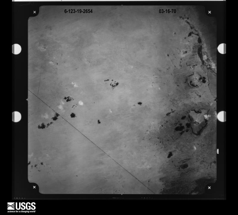
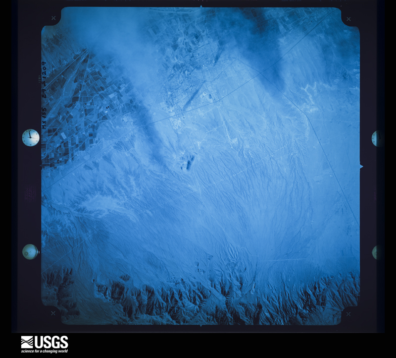
48 shownFlown by the U.S. Geological Survey between 1937 and 1989, the Aerial Photo Single Frames collection is the definitive mid-century view of the land: fields, roads and rivers as the camera saw them. The Survey holds 9,154 frames inside the rectangle that bounds this county; the 48 frames below were taken over the county itself, chosen across the decades of flights (at most four a year from that rectangle), so one flight cannot crowd out the rest. The full set is free to browse and download at EarthExplorer under the dataset Aerial Photo Single Frames.


Weather records
265 stations, 3 gagesThe thermometers that kept this county's weather, and the gages that measured the flow of its streams, as the federal records hold them. The extremes below are measured values from those records, not estimates.
- AGRICULTURAL COLLEGE 1892 to 1959, hottest 42.8 C, coldest -22.2 C
- HATCH 1894 to 2008, hottest 48.3 C, coldest -27.2 C
- LAS CRUCES 1897 to 1958, hottest 42.8 C, coldest -19.4 C
- LANARK 1899 to 1923, hottest 22.8 C, coldest 4.4 C
- NORIA 1909 to 1920, hottest 45.6 C, coldest -21.1 C
- CHAMBERINO 1911 to 1932
- BOYDS RCH 1914 to 1916, hottest 35.6 C, coldest -12.2 C
- JORNADA EXP RANGE 1914 to 2026, hottest 43.3 C, coldest -28.9 C
- GARFIELD 1920 to 1948, hottest 39.4 C, coldest -20.0 C
- AFTON 6 NE 1942 to 1999, hottest 33.3 C, coldest 0.0 C
- LAS CRUCES WHITE SANDS MISSILE 1949 to 1962, hottest 41.1 C, coldest -21.1 C
- STATE UNIV 1959 to 2026, hottest 43.3 C, coldest -23.3 C
- LAS CRUCES 5.4 S 1998 to 2010
- LAS CRUCES 5.8 SSE 1998 to 2021
- SANTA TERESA 1.1 NNW 1998 to 2020
- LAS CRUCES 6.3 NNE 1998 to 2026
- LAS CRUCES 8.6 ESE 1998 to 2017
- SOMBRA ANTIGUA VINEYARD 1998 to 2021
- CHAPARRAL 1998 to 2012, hottest 44.4 C, coldest -17.8 C
- SANTA TERESA AP 2002 to 2026, hottest 42.2 C, coldest -20.6 C
- MESILLA 8.1 SE 2004 to 2008
- LAS CRUCES 1.5 NNW 2004 to 2005
- HATCH 6.9 ESE 2004 to 2024
- LAS CRUCES 4.5 WNW 2005 to 2010
- LAS CRUCES 2.1 WSW 2005 to 2015
- LAS CRUCES 4.2 SSE 2005 to 2014
- MESILLA PARK 5.4 SW 2005 to 2007
- MESILLA 11.2 SSE 2005 to 2012
- LAS CRUCES 6.9 WSW 2005 to 2006
- LAS CRUCES 2.3 SSE 2005 to 2019
- LAS CRUCES 4.5 WNW 2005 to 2014
- DONA ANA 0.7 SE 2005 to 2021
- LAS CRUCES 4.1 SSW 2005 to 2007
- LAS CRUCES 3.0 SSE 2005 to 2011
- LAS CRUCES 5.2 NE 2005 to 2007
- LAS CRUCES 5.3 NE 2005 to 2007
- LAS CRUCES 3.2 S 2005 to 2006
- LAS CRUCES 1.7 SE 2005 to 2009
- LAS CRUCES 3.9 WNW 2005 to 2006
- LAS CRUCES 3.9 NNE 2005 to 2024
- LAS CRUCES 3.0 SSE 2005 to 2008
- LAS CRUCES 5.1 WNW 2005 to 2007
- LAS CRUCES 2.9 NW 2005 to 2020
- MESILLA 2.2 WSW 2005 to 2015
- LAS CRUCES 3.2 NNE 2005 to 2008
- HATCH 7.2 ESE 2005 to 2024
- LAS CRUCES 5.5 NE 2005 to 2026
- LAS CRUCES 1.5 NNW 2005 to 2026
- LAS CRUCES 6.3 W 2005 to 2026
- LAS CRUCES 0.9 ESE 2005 to 2013
- LAS CRUCES 4.0 NNE 2005 to 2026
- LAS CRUCES 7.9 S 2005 to 2007
- LAS CRUCES 2.2 SW 2005 to 2006
- LAS CRUCES 2.5 SE 2005 to 2010
- LAS CRUCES 3.1 N 2005 to 2012
- LAS CRUCES 3.5 S 2005 to 2006
- LAS CRUCES 5.8 SSW 2005
- LAS CRUCES 3.2 NNE 2005 to 2006
- LAS CRUCES 4.5 SW 2005 to 2014
- LAS CRUCES 1.3 ESE 2005 to 2021
- LAS CRUCES 4.9 S 2005 to 2020
- LAS CRUCES 5.1 WSW 2005 to 2007
- LAS CRUCES 2.1 SE 2005 to 2008
- LAS CRUCES 4.9 SSW 2005 to 2008
- LAS CRUCES 6.1 SSE 2005 to 2026
- LAS CRUCES 5.0 S 2005 to 2009
- LAS CRUCES 4.2 SW 2005 to 2014
- LAS CRUCES 3.1 S 2005 to 2012
- LAS CRUCES 6.1 ESE 2005 to 2019
- ANTHONY 8.2 SSW 2005 to 2021
- LAS CRUCES 0.8 NE 2005 to 2007
- LAS CRUCES 3.3 SSE 2005 to 2008
- LAS CRUCES 0.8 WNW 2005 to 2020
- LAS CRUCES 14 NW 2005 to 2014
- SANTA TERESA 0.5 SSW 2005 to 2026
- LAS CRUCES 4.3 SSW 2005 to 2026
- LAS CRUCES 2.0 NNW 2005 to 2011
- LAS CRUCES 5.3 SSE 2005 to 2007
- LAS CRUCES 1.9 WNW 2005 to 2008
- LAS CRUCES 14.6 NW 2006 to 2018
- LAS CRUCES 3.0 SSE 2006 to 2014
- MESILLA 7.0 SE 2006 to 2015
- LAS CRUCES 1.9 WNW 2006 to 2020
- LAS CRUCES 5.6 NE 2006 to 2008
- LAS CRUCES 2.2 W 2006 to 2014
- LAS CRUCES 2.2 W 2006 to 2013
- LAS CRUCES 6.9 N 2006 to 2014
- LAS CRUCES 6.6 WSW 2006 to 2015
- MESILLA 2.3 E 2006 to 2026
- LAS CRUCES 4.3 SSE 2006 to 2026
- LAS CRUCES 1.6 WNW 2006 to 2019
- LAS CRUCES 2.2 SE 2006 to 2007
- LAS CRUCES 3.9 S 2006 to 2007
- LAS CRUCES 6.4 NW 2006 to 2008
- LAS CRUCES 4.2 SSE 2006 to 2026
- LAS CRUCES 5.4 NNW 2006 to 2015
- DONA ANA 1.4 W (HQ) 2006 to 2008
- LAS CRUCES 7.9 E 2006 to 2008
- LAS CRUCES 2.6 SE 2006 to 2012
- LAS CRUCES 7.7 WSW 2006 to 2017
- LAS CRUCES 3.1 NNE 2006 to 2024
- LAS CRUCES 0.9 NNE 2006 to 2007
- LAS CRUCES 6.8 WSW 2006 to 2017
- LAS CRUCES 2.4 SW 2006 to 2013
- LAS CRUCES 3.0 S 2006 to 2008
- LAS CRUCES 7.5 SW 2007 to 2010
- LAS CRUCES 5.2 S 2007 to 2008
- LAS CRUCES 2.0 WSW 2007 to 2026
- UNIVERSITY PARK 5.4 S 2007 to 2013
- UNIVERSITY PARK 1.3 W 2007 to 2013
- UNIVERSITY PARK 4.7 S 2007 to 2021
- LAS CRUCES 5.0 SSE 2007 to 2008
- LAS CRUCES 8.3 ESE 2007 to 2013
- SANTA TERESA 1.0 WNW 2007 to 2016
- LAS CRUCES 7.4 ESE 2007 to 2017
- LAS CRUCES 2.6 W 2007 to 2010
- LAS CRUCES 2.1 SW 2007 to 2026
- MULE CREEK 1.0 W 2007 to 2017
- LAS CRUCES 20 N 2007 to 2026, hottest 41.6 C, coldest -29.4 C
- LAS CRUCES 0.6 SW 2008 to 2026
- LAS CRUCES 3.1 N 2008 to 2013
- LAS CRUCES 5.0 SSE 2008 to 2026
- LAS CRUCES 1.4 E 2008 to 2012
- LAS CRUCES 5.8 SSE 2008 to 2020
- LAS CRUCES 3.9 NNW 2008 to 2018
- LAS CRUCES 2.6 NNW 2008 to 2012
- LAS CRUCES 4.8 WNW 2008 to 2010
- LAS CRUCES 5.7 NE 2008 to 2012
- WHITE SANDS 0.6 E 2008 to 2026
- LAS CRUCES 1.8 WNW 2009 to 2010
- LAS CRUCES 2.9 SSE 2009 to 2017
- LAS CRUCES 4.8 SSW 2009 to 2011
- LAS CRUCES 3.0 NNE 2010 to 2011
- LAS CRUCES 5.4 S 2010 to 2026
- LAS CRUCES 0.9 NE 2010 to 2015
- LAS CRUCES 6.0 NE 2010 to 2016
- LAS CRUCES 6.6 W 2011 to 2013
- UNIVERSITY PARK 3.8 N 2011 to 2026
- LAS CRUCES 2.8 SSW 2011 to 2026
- LAS CRUCES 12.6 NW 2011
- LAS CRUCES 1.7 WNW 2011 to 2026
- LAS CRUCES 8.1 ESE 2011 to 2017
- LAS CRUCES 2.4 SSE 2011 to 2014
- CHAMBERINO 0.9 NNE 2011 to 2018
- LAS CRUCES 16.2 NW 2011 to 2026
- LAS CRUCES 2.2 NE 2011 to 2025
- LAS CRUCES MUNI AP 2011 to 2026, hottest 43.3 C, coldest -14.9 C
- LAS CRUCES 2.8 W 2012 to 2021
- LAS CRUCES 4.9 WNW 2012 to 2020
- LAS CRUCES 5.5 S 2012 to 2016
- SANTA TERESA 1.4 SW 2012 to 2020
- LAS CRUCES 2.4 NE 2012 to 2014
- LAS CRUCES 0.9 W 2012 to 2021
- SANTA TERESA NWS 2012 to 2014
- LAS CRUCES 1.5 NW 2012 to 2017
- LAS CRUCES 1.0 S 2012 to 2026
- LAS CRUCES 3.5 NNE 2012 to 2014
- LAS CRUCES 9.0 NE 2012 to 2026
- LAS CRUCES 3.1 SE 2012 to 2020
- LAS CRUCES 4.4 W 2012 to 2026
- LAS CRUCES 4.4 WNW 2012 to 2023
- LAS CRUCES 0.8 SE 2012 to 2016
- LA MESA 0.1 W 2012 to 2014
- LAS CRUCES 5.7 NE 2012 to 2026
- LAS CRUCES 1.7 WNW 2013 to 2026
- DONA ANA 2.4 SSW 2013 to 2014
- LAS CRUCES 5.9 SSW 2013 to 2026
- MESILLA VALLEY BOSQUE S.P. 2013 to 2016
- SANTA TERESA 0.5 SSE 2013 to 2020
- LEASBURG DAM S.P. 2013 to 2021
- CHAPARRAL 0.4 SE 2013 to 2026
- LAS CRUCES 6.4 WSW 2013 to 2015
- ORGAN 0.8 SW 2013 to 2014
- LAS CRUCES 4.0 SW 2013 to 2026
- LAS CRUCES 2.1 ENE 2013 to 2019
- LAS CRUCES 0.8 NE 2013 to 2026
- LAS CRUCES 7.2 WSW 2013 to 2016
- LAS CRUCES 2.8 S 2014 to 2017
- LAS CRUCES 1.5 N 2014 to 2026
- LAS CRUCES 3.8 WNW 2014
- LAS CRUCES 0.3 NE 2014 to 2016
- LAS CRUCES 1.5 ENE 2014 to 2026
- LAS CRUCES 9.3 NE 2014 to 2026
- DONA ANA 1.2 SW 2014 to 2021
- LAS CRUCES 5.6 NE 2014 to 2026
- LAS CRUCES 6.0 S 2014 to 2026
- LAS CRUCES 4.3 NNW 2014 to 2020
- LAS CRUCES 9.4 ESE 2014 to 2022
- LAS CRUCES 2.3 SW 2014 to 2020
- LAS CRUCES 2.0 SE 2014 to 2015
- LAS CRUCES 4.2 NW 2014 to 2026
- LAS CRUCES 7.1 NE 2014 to 2017
- LAS CRUCES 5.6 SSE 2015 to 2021
- LA UNION 1.0 ENE 2015 to 2026
- MESILLA 7.7 SE 2015 to 2017
- LA MESA 2.8 SSE 2015 to 2026
- ORGAN 0.1 NE 2015 to 2022
- LAS CRUCES 1.9 NE 2015 to 2021
- LAS CRUCES 5.8 WNW 2015 to 2026
- LA UNION 2.2 SE 2015 to 2026
- MESQUITE 3.1 NW 2015 to 2026
- LAS CRUCES 5.0 S 2015 to 2018
- LAS CRUCES 0.4 NE 2015 to 2018
- LAS CRUCES 3.1 S 2015 to 2026
- LAS CRUCES 5.2 WSW 2015 to 2026
- LAS CRUCES 12.4 NW 2016 to 2026
- LAS CRUCES 2.5 S 2016 to 2026
- HATCH 8.0 ESE 2016 to 2018
- LAS CRUCES 7.4 NW 2016 to 2020
- SALEM 0.7 W 2016 to 2017
- HATCH 1.5 SE 2016 to 2019
- LAS CRUCES 2.6 SSE 2016 to 2021
- HATCH 0.3 E 2016 to 2017
- LAS CRUCES 7.1 ESE 2016 to 2026
- LAS CRUCES 1.9 ENE 2016 to 2017
- LAS CRUCES 4.1 NNE 2016 to 2021
- LAS CRUCES 4.5 SSW 2016 to 2026
- LAS CRUCES 5.6 SSE 2016 to 2021
- LAS CRUCES 0.8 ESE 2016 to 2026
- LAS CRUCES 6.0 ESE 2016 to 2026
- LAS CRUCES 0.8 SE 2017 to 2023
- LAS CRUCES 7.6 WSW 2017 to 2022
- LAS CRUCES 1.7 NNE 2017 to 2025
- LAS CRUCES 2.1 NNE 2017 to 2026
- WHITE SANDS 1.3 ESE 2017 to 2026
- LAS CRUCES 7.8 ESE 2017 to 2026
- LAS CRUCES 2.7 SSW 2017 to 2026
- MESILLA 5.7 WNW 2018 to 2026
- LAS CRUCES 2.1 NE 2018 to 2021
- LAS CRUCES 4.6 SSW 2018 to 2026
- MESILLA 0.7 NE 2018 to 2026
- LAS CRUCES 2.9 SSW 2018 to 2023
- LAS CRUCES 3.9 N 2018 to 2020
- HATCH 0.4 NNE 2018 to 2021
- LAS CRUCES 2.5 WSW 2019
- LAS CRUCES 6.1 ESE 2019 to 2026
- LAS CRUCES 4.4 WNW 2019 to 2024
- LAS CRUCES 7.1 SW 2019 to 2026
- UNIVERSITY PARK 6.7 E 2019 to 2026
- LAS CRUCES 3.0 NNE 2020 to 2021
- MESILLA 4.7 SSE 2020 to 2026
- LAS CRUCES 6.5 WSW 2020 to 2026
- SUNLAND PARK 7.4 NW 2020 to 2026
- LAS CRUCES 4.2 SSW 2020 to 2026
- LAS CRUCES 2.3 SE 2020 to 2023
- LAS CRUCES 1.2 E 2020 to 2026
- LAS CRUCES 4.8 SSW 2020 to 2026
- LAS CRUCES 4.1 N 2021 to 2026
- LAS CRUCES 3.0 NW 2021 to 2026
- LAS CRUCES 1.6 ENE 2021 to 2026
- LAS CRUCES 2.8 W 2021 to 2026
- MESILLA 1.5 SE 2021 to 2025
- LAS CRUCES 2.4 NNE 2021 to 2024
- LAS CRUCES 3.2 S 2022 to 2023
- LAS CRUCES 2.0 NE 2022 to 2026
- LAS CRUCES 2.1 WSW 2022 to 2026
- LAS CRUCES 2.1 NNW 2023 to 2026
- SUNLAND PARK 7.5 NW 2023 to 2026
- WHITE SANDS 0.3 N 2023 to 2026
- LAS CRUCES 2.4 SW 2023 to 2026
- LAS CRUCES 3.5 W 2024 to 2026
- LAS CRUCES 1.6 W 2024 to 2026
- LAS CRUCES 6.1 NNE 2024 to 2026
- LAS CRUCES 0.8 WNW 2024 to 2026
- SANTA TERESA 3.3 NW 2025 to 2026
- LAS CRUCES ARR NR LAS CRUCES, NM 1958 to 1966
- TULAROSA VALLEY TR AT WHITE SANDS, NM 1965 to 1974
- TULAROSA VALLEY TR NR WHITE SANDS, NM 1965 to 1974
The 1950 census, district by district
54 districtsWho lived here in 1950, one enumeration district at a time, as the Census Bureau described each district. Each row opens its official National Archives result, with Population Schedules and ED Maps available there.
- 7-1Election Precinct 1, Organ: Election Precinct 1, Organ, excluding parts of White Sands Proving Ground, Fort Bliss Military Reservation and Holloman Air Force Base
- 7-2White Sands Proving Ground, Fort Bliss Military Reservation and Holloman Air Force Base - That part in Election Precinct 1, Organ (Remainder of White Sands Proving Ground, Fort Bliss Military Reservation and Holloman Air Force Base is in Election Precincts 10, Berino, 24, Vado, and 25, Brazito, and in Lincoln, Socorro and Otero counties. Part of Fort Bliss Military Reservation is also in Texas)
- 7-3Election Precinct 2, Dona Ana
- 7-4Las Cruces city, comprising parts of Election Precincts 3, Las Cruces, 20, Las Cruces, and 29, Las Cruces: Las Cruces city - That part in Election Precinct 3, Las Cruces Bounded by Organ Ave., Election Precinct line, Organ Ave.; City limits; Amador Ave., Pecos, Election Precinct line, Amador Ave.; Tornillo
- 7-5Las Cruces city - That part in Election Precinct 3, Las Cruces Bounded by Organ Ave., Election Precinct line, Organ Ave.; Tornillo; Amador Ave.; Mesilla
- 7-6Las Cruces city - That part in Election Precinct 20, Las Cruces Bounded by City limits; City limits; Organ Ave.; Sierra, City limits
- 7-7Las Cruces city - That part in Election Precinct 20, Las Cruces Bounded by City limits; Sierra Mesa Ave., Almendra, Mesa Ave., Tornillo, Mesa Ave., Picacho Ave.; Alameda Blvd.
- 7-8ALas Cruces city - That part in Election Precinct 20, Las Cruces Bounded by Old city limits, Armijo Lateral, City limits; City limits, Alameda; Parker Rd.l City limits, Old city limits
- 7-8BLas Cruces city - That part in Election Precinct 20, Las Cruces Bounded by City limits; Armijo Lateral; Old city limits; City limits
- 7-9Las Cruces city - That part in Election Precinct 20, Las Cruces Bounded by Parker Rd.; Mesilla, Pittsburgh Ave., Mesilla; Election Precinct line, West Amador Rd.; City limits
- 7-10Las Cruces city - That part in Election Precinct 20, Las Cruces Bounded by Parker Rd.; Alameda Blvd., Picacho Ave., Main; Organ Ave., Election Precinct line, Organ Ave.; Mesilla, Pittsburg Ave., Mesilla
- 7-11Las Cruces city - That part in Election Precinct 20, Las Cruces Bounded by Mesa Ave., Tornillo, Mesa Ave., Almendra, Mesa Ave.; Sierra; Organ Ave., Election Precinct line, Organ Ave.; Main
- 7-12Las Cruces city - That part in Election Precinct 29, Las Cruces Bounded by Election Precinct line, Pecos, Amador Ave.; City limits; Idaho Ave., Solina, City limits; Espina
- 7-13Las Cruces - That part in Election Precinct 29, Las Cruces Bounded by Amador Ave.; Espina; City limits; El Pasqo Rd.
- 7-14Las Cruces - That part in Election Precinct 29, Las Cruces Bounded by West Amador Rd., Election Precinct line, Amador Ave.; El Pasqo Rd.; City limits; City limits
- 7-15Las Cruces - That part in Election Precinct 29, Las Cruces Bounded by Idaho Ave., City limits; City limits; City limits; City limits, Solina
- 7-16Election Precinct 3, Las Cruces - That part outside Las Cruces city (Remainder of Election Precinct 3, Las Cruces, is in Las Cruces city)
- 7-17Election Precinct 4, Mesilla (Upper)
- 7-18Election Precinct 5, Mesilla (Lower) : Mesilla, unincorporated Bounded by Election Precinct line; Election Precinct line, State Route 28; Unnamed street; Unnamed street, Unnamed street, Mesilla Drainage Ditch
- 7-19Election Precinct 5, Mesilla (Lower) - That part outside the unincorporated place of Mesilla (See separate map for boundaries of Mesilla)
- 7-20Election Precinct 6, Mesilla Park: Election Precinct 6, Mesilla Park - That part east of U.S. Highway 80
- 7-21Election Precinct 6, Mesilla Park - That part west of U.S. Highway 80
- 7-22Election Precinct 7, Salem
- 7-23Election Precinct 8, La Mesa
- 7-24Election Precinct 9, La Union - That part east of State Highway 28
- 7-25Election Precinct 9, La Union - That part west of State Highway 28
- 7-26Election Precinct 10, Berino: Election Precinct 10, Berino, excluding parts of White Sands Proving Ground, Fort Bliss Military Reservation and Holloman Air Force Base
- 7-27White Sands Proving Grounds, Fort Bliss Military Reservation and Holloman Air Force Base - That part in Election Precinct 10, Berino (Remainder of White Sands Proving Ground, Fort Bliss Military Reservation and Holloman Air Force Base is in Election Precincts 1, Organ, 24, Vado, and 25, Brazito, and in Lincoln, Socorro and Otero counties. Part of Fort Bliss Military Reservation is also in Texas)
- 7-28Election Precinct 11, Chamberino
- 7-29CElection Precinct 12: Hatch village Rodey Lateral, U.S. Highway 85; City limits; City limits; City limits
- 7-29BElection Precinct 12: Hatch village City limits; City limits; City limits; Old city limits
- 7-29AElection Precinct 12: Hatch village City limits; City limits, Old city limits, City limits; U.S. Highway 85, Rodey Lateral, City limits; City limits
- 7-30Election Precinct 12, Hatch - That part outside Hatch village
- 7-31Election Precinct 13, Hill
- 7-32Election Precinct 14, Afton
- 7-33Election Precinct 15, San Miguel
- 7-34Election Precinct 16, Rodey
- 7-35Election Precinct 17, Anapara
- 7-36Election Precinct 18, Anthony: Anthony, unincorporated Bounded by Unnamed street extended, Unnamed street; Unnamed road; New Mexico - Texas State Line; East Drainage Ditch, Anthony Wash Drainage Ditch, Atchison, Topeka, & Santa Fe Railroad
- 7-37Election Precinct 18, Anthony - That part outside the unincorporated place of Anthony (See separate map for boundaries of Anthony)
- 7-38Election Precinct 19, Rincon
- 7-39Election Precinct 20, Las Cruces - That part outside Las Cruces city (Remainder of Election Precinct 20, Las Cruces, is in Las Cruces city)
- 7-40Election Precinct 21, San Ysidro
- 7-41Election Precinct 22, Garfield
- 7-42Election Precinct 23, Fairacres
- 7-43Election Precinct 24, Vado: Election Precinct 24, Vado - Excluding parts of White Sands Proving Ground, Fort Bliss Military Reservation and Holloman Air Force Base
- 7-44White Sands Proving Ground, Fort Bliss Military Reservation and Holloman Air Force Base - That part in Election Precinct 24, Vado (Remainder of White Sands Proving Ground, Fort Bliss Military Reservation and Holloman Air Force Base is in Election Precincts 1, Organ, 10, Berino, and 25, Brazito, and in Lincoln, Socorro and Otero counties. Part of Fort Bliss Military Reservation is also in Texas)
- 7-45Election Precinct 25, Brazito: Election Precinct 25, Brazito, excluding parts of White Sands Proving Ground, Fort Bliss Military Reservation and Holloman Air Force Base -
- 7-46White Sands Proving Ground, Fort Bliss Military Reservation and Holloman Air Force Base - That part in Election Precinct 25, Brazito (Remainder of White Sands Proving Ground, Fort Bliss Military Reservation and Holloman Air Force Base is in Election Precincts 1, Organ, 10, Berino, and 24, Vado and in Lincoln, Socorro and Otero counties. Part of Fort Bliss Military Reservation is also in Texas)
- 7-47Election Precinct 26, Guadalupe
- 7-48Election Precinct 27, Longview
- 7-49Election Precinct 28, Mesquite
- 7-50Election Precinct 29, Las Cruces, outside Las Cruces city: Election Precinct 29, Las Cruces - That part Bounded by Election Precinct line; Election Precinct line; Election Precinct line; Election Precinct line, Las Cruces city limits
- 7-51Election Precinct 29, Las Cruces - That part Bounded by Election Precinct line; City limits; Election Precinct line; Election Precinct line (Remainder of Election Precinct 29, Las Cruces, is in Las Cruces city)
Wildfire, 1992 to 2020
204 firesEvery wildfire the federal occurrence database records inside this county: 204 of them, burning about 76,079 acres. 55 started naturally and 18 were recorded as arson. Each settlement page carries the fires within five miles of it.
| Reported cause | Fires |
|---|---|
| Missing data/not specified/undetermined | 87 |
| Natural | 55 |
| Arson/incendiarism | 18 |
| Recreation and ceremony | 11 |
| Equipment and vehicle use | 11 |
| Debris and open burning | 10 |
| Smoking | 7 |
| Misuse of fire by a minor | 2 |
| Other causes | 1 |
| Firearms and explosives use | 1 |
| Fireworks | 1 |
The five largest, by the area the report gives. Two of them were set deliberately.
| Date | Cause | Size | Reported by | Name on the report |
|---|---|---|---|---|
| 27 June 1994 | Natural | 13,804 acres | Las Cruces Field Office | ORGAN |
| 21 April 2011 | Missing data/not specified/undetermined | 13,424 acres | Las Cruces Field Office | ABRAMS |
| 16 June 1993 | Natural | 11,856 acres | Las Cruces Field Office | UVAS |
| 16 June 2010 | Arson/incendiarism | 5,160 acres | Las Cruces Field Office | FT BLISS 2 |
| 24 June 2018 | Equipment and vehicle use | 5,045 acres | Las Cruces Field Office | ORGAN |
| 1 July 1994 | Natural | 3,650 acres | San Andreas National Wildlife Refuge | SEEHORN 94 |
| 20 June 2010 | Arson/incendiarism | 2,582 acres | Las Cruces Field Office | LONG CANYON |
| 7 July 1997 | Natural | 2,400 acres | Las Cruces Field Office | POT |
Every settlement page carries the fires within five miles of it - see the settlement index below.
Storms, 1956 to 2025
60 of 357 shownThe NOAA Storm Events Database holds 357 reports for this county, causing no deaths, 7 injuries and about $28,909,750 in recorded property damage. Each settlement page carries the reports that name it.
| Kind of event | Reports |
|---|---|
| Hail | 117 |
| Thunderstorm Wind | 117 |
| Flash Flood | 89 |
| Tornado | 13 |
| Heavy Rain | 13 |
| Flood | 7 |
| Lightning | 1 |
The most serious of them, by death, then injury, then recorded damage. The accounts are quoted exactly as the forecast office filed them.
| When | Event | Place named | Harm | What the report says |
|---|---|---|---|---|
| August 2014 | Lightning | Fairacres | 6 hurt | Six people, including several middle school football players were injured from the initial lightning strike from a nearby thunderstorm. No fatalities occurred with this lightning strike, but one student who was closest to the strike suffered significant injuries and was in the hospital for over a week. |
| August 2013 | Flash Flood | Lizard | 1 hurt | Dona Ana Emergency Manager reported a water rescue was necessary in Sunland Park due to flooding with one person transported to an El Paso hospital with unknown injuries. |
| September 2006 | Hail | Mesilla | $10,000,000 | no account filed |
| August 2006 | Flash Flood | Hatch | $4,000,000 | Runoff from heavy rains over the nearby Sierra De Las Uvas Mountains caused the Placitas Arroyo to breach, which sent a wall of water into the town of Hatch. Up to 4 feet of water entered business and residences. Mandatory evacuations of several hundred residents took place, including 150 people from an apartment complex which eventually had to be condemned. All roads into and within Hatch were closed. |
| June 1997 | Hail | Las Cruces | $3,500,000 | no account filed |
| August 2006 | Flash Flood | South Portion | $3,000,000 | A cluster of slow moving thunderstorms dropped 1.5 to 3 inches of rain over the southern portion of Dona Ana County, especially near the Rio Grande. Even higher amounts fell over the nearby Franklin Mountains which added to severe runoff problems. Interstate 10 south of Las Cruces was closed for several hours. Hardest hit with damage to roads and structures was Sunland Park, followed by Anthony, Chaparral and La Union. About 1200 residents in Sunland Park were forced to evacuate as the Rio Grande River reached a stage of 9.3 feet, the highest in 50 years. This was one of many flood events during the summer that led to much of New Mexico being declared a federal disaster area. |
| April 2004 | Hail | Anthony | $2,000,000 | no account filed |
| June 2004 | Hail | Las Cruces Arpt | $1,200,000 | no account filed |
| September 2005 | Flash Flood | Las Cruces | $1,000,000 | Major flooding occurred across most of the Las Cruces area as a thunderstorm complex dropped heavy rain during a 3 hour time frame. Rainfall reports were widespread 2 to 3 inches with isolated amounts around 4 inches. All major roads were flooded with a few intersections under 4 feet of water. Sandbags were put up until resources were exhausted. The rainfall amounts were not extremely unusual, just the areal coverage. |
| August 2021 | Flash Flood | La Union | $750,000 | Water topped an earthen dam and resulted in flooding across much of La Union. Several cars were washed off the road and some houses were inaccessible for awile. Several inches of standing water also resulted across the area due to the heavy rain. This was all the result of almost 2 inches of rain in about an hour. |
| April 2022 | Hail | Strauss | $500,000 | Hail up to golf ball size fell in Santa Teresa up toward La Union. Several houses around the intersection of McNutt and the Dominici Highway sustained destroyed roofs and numerous vehicles had significant hail damage including at the local NWS office. |
| June 2004 | Flash Flood | Vado | $500,000 | Thunderstorms repeatedly moved over southern and central Dona Ana County, dropping more than 3 inches of rain between Las Cruces and northeast El Paso. Though most areas experienced nuisance flooding, the town of Vado, which lies in a somewhat sunken basin, received the run-off from most of the surrounding area. As a result, 14 houses had to be evacuated. Most of the town was under 2 to 3 feet of water, with a few spots under 6 feet. Governor Richardson later declared Vado a disaster area. |
| June 1999 | Flash Flood | Las Cruces | $300,000 | Three to four inches of rain fell in the East Mesa area of Las Cruces. Water running off the nearby Organ Mountains caused considerable damage to mobile homes, homes and washed out roads. The high water had some residents on the east side of Las Cruces trapped in their homes for several hours. A 70 year old woman had to be rescued after trying to cross a flooded road in her car. |
| July 2025 | Flash Flood | Berino | $250,000 | Significant flash flooding was reported along Interstate 10 which was forced to be closed between Mesquite south through Vado. Video showed turbulent water running over the Frontage Road along I-10 near Vado. Other areas that had significant flooding included High Valley Road near the Vado Quarry, areas in the vicinity of Las Palmeras Road and Jamaica Lane in Berino as well as near Cebolla Lane flooding the nearby neighborhood. |
| August 2021 | Flash Flood | La Union | $250,000 | Widespread flooding was reported across La Union due to over 7 inches of rain over the previous 3 days from just north of Domenici Highway through La Union. The Dona Ana County Emergency Manager ordered evacuations of La Union due to the flooding and possible dam breach of an earthen dam to the west of town. |
| August 2021 | Flash Flood | La Union | $250,000 | Another round of heavy rain hit La Union down to Santa Teresa a day after flooding had already occurred in the area. Over a foot and a half of water was reported on Alvarez Road in La Union while down in Santa Teresa, Hansen Circle was impassable due to overflowing water from a retention pond. |
| July 1987 | Tornado (F0) | not stated | $250,000 | no account filed |
| August 2020 | Thunderstorm Wind | Dona Ana | $100,000 | Numerous trees and power poles down in northeast Las Cruces. At 8 am the following day, 500 customers were still without electricity. Mesonet site which recorded the gust was located north of Highway 70 and east of I-25. Pea size hail was also reported. |
| July 2008 | Flash Flood | Dona Ana | $75,000 | Residual moisture from the remnants of Dolly led to heavy rainfall and flash flooding in the town of Dona Ana. Several roads were barricaded and water entered numerous homes. |
| September 2009 | Flash Flood | Dona Ana | $70,000 | Homes were flooded near Peachtree Hill northeast of Las Cruces. The U.S. 70 frontage road in this area was covered by up to 3 feet of water, and all major streets on the east mesa of Las Cruces were under water. |
| July 2010 | Flash Flood | Picacho | $50,000 | Very heavy rain over Las Cruces flooded many buildings and streets across town. New Mexico State University recorded 3.36 inches of rain. At least 6 buildings on the campus had water damage with several roads closed. Several water rescues from stalled vehicles were performed on campus. |
| May 2009 | Flash Flood | Hatch | $50,000 | Flooding was reported in some homes in the community of Rodey. There was also flooding along Highway 185 southeast of Hatch. |
| July 2008 | Flash Flood | Malpais | $50,000 | A large cluster of thunderstorms moved over an area already saturated from heavy rain the previous day. Arroyos overflowed and low water crossings were flooded. Highways that were closed included Highway 9 between Columbus and Hachita, Highway 26 between Deming and Hatch, and Highway 27 south of Hillsboro. |
| July 2008 | Thunderstorm Wind | Las Cruces | $50,000 | A wind gust of 58 mph was measured at the Las Cruces Airport during a severe thunderstorm. However, the winds were estimated at 65 mph near Mayfield High School were several trees were blown over and minor structural damage occurred. |
| August 2006 | Flash Flood | North Central Portion | $50,000 | Flash flooding occurred in an area which included Organ, Dona Ana and the east mesa of Las Cruces. Roads were covered by up to 2 feet of water with some closures. Water also flooded backyards and entered homes as retention walls collapsed from water swollen arroyos. |
| August 2006 | Flash Flood | Northwest Portion | $50,000 | no account filed |
| September 2006 | Flood | Countywide | $50,000 | no account filed |
| July 2014 | Flash Flood | Hill | $30,000 | Over an inch of rain fell quickly in Hill, NM which caused the closing of Dona Ana Road which was underwater. Several houses had water in them, plus damage to trucks and a horse trailer were also reported. Water made it into the basement of the historic St. Mary's at Hill Anglican Church. One resident said that the water was higher than any other time in the 50 years he lived there. |
| August 2001 | Thunderstorm Wind | Las Cruces | $30,000 | A wet microburst blew the roof off a portion of an apartment complex. Some windows were blown out in the downtown area, and several power lines were downed. |
| August 2002 | Flood | Las Cruces | $30,000 | no account filed |
| June 2024 | Thunderstorm Wind | Anthony | $25,000 | Two outflows from nearby thunderstorms collided over the Chaparral area which created a gustnado as well as straight-line wind damage. There was a complete collapse of a well built outbuilding/garage. The roof separated from the walls allowing the wind to get inside and under the roof structure. The roof debris scattered towards the west and northwest and was displaced approximately 50 yards from the foundation. The walls collapsed afterwards with all of the walls falling in a southward direction. Metal fencing attached to a rock wall was ripped off. An RV camper rolled on it's side and was damaged by flying debris. There was a metal shed that collapsed as winds lifted the roof from the structure. Finally, an outdoor shed was completely destroyed with debris scattered up to 100 yards towards the northwest. |
| July 2021 | Thunderstorm Wind | (Lru)Las Cruces Arpt | $25,000 | Mping report. Trees uprooted or snapped. A roof was also blown off. |
| August 2014 | Flash Flood | Ft Fillmore | $25,000 | The NMDOT reported mudslides and debris on Frontage Roads 1037 and 1035 between Las Cruces and Vado from overnight rains. Several buildings on the New Mexico State University Campus reported water inside of them, including two rooms in the Health and Social Sciences Building, heavy water in east gymnasium of Activity Center and several Engineering Complex buildings. |
| August 2013 | Flash Flood | Vado | $25,000 | Emergency Manager reported 24 people were displaced due to major flooding that flooded their homes in Vado. The Red Cross established shelters for the families. |
| July 2010 | Flash Flood | Garfield | $25,000 | Water was reported going over West Canal Road Bridge in Hatch. In the Rincon/Radium Springs area near Santiago Peak Road and Highway 185 flooding pushed cars off of road. |
| May 2007 | Flash Flood | Hatch | $25,000 | An apartment complex in Hatch was flooded, requiring the local fire department to pump water out of the apartments. |
| July 1979 | Tornado (F1) | not stated | $25,000 | no account filed |
| August 2016 | Thunderstorm Wind | Anthony | $20,000 | Thunderstorm winds blew off a 190 foot long horse barn roof. |
| July 2008 | Flash Flood | Anthony | $20,000 | The remnants of Dolly brought 2.5 to 3.5 inches of rain to southern Dona Ana County. Water was knee deep in Chaparral, and Highway 28 was flooded south of La Union. |
| July 2007 | Flash Flood | Anthony | $20,000 | Up to 30 homes were flooded in Anthony. Sandbags were requested for this area as well as nearby Mesquite (just to the north). |
| August 2006 | Flash Flood | South Portion | $20,000 | A line of rapidly moving thunderstorms dropped up to an inch and a half of rain in less than 30 minutes during the early morning hours. This was only 36 hours after the extensive flash flooding on August 1st, so runoff was excessive. Roads were impassable in Chaparral, and erosion exposed gas pipes in Vado and Sunland Park. |
| September 2006 | Flash Flood | Sunland Park | $20,000 | Excessive runoff overwhelmed a drain pipe which resulted in a mudslide in Sunland Park. Several homes were flooded, with a storage shed and part of a driveway washed away at one residence. |
| July 2002 | Flash Flood | Radium Spgs | $20,000 | A cluster of thunderstorms dropped nearly 4 inches of rain within an hour according to a RAWS rain gauge located in the Sierra de Las Uvas Mountains. The resulting runoff washed out Highway 185 between Radium Springs and Rincon. |
| August 2006 | Flood | Countywide | $20,000 | no account filed |
| August 2005 | Thunderstorm Wind | Las Cruces | $20,000 | no account filed |
| August 2002 | Thunderstorm Wind | Las Cruces | $20,000 | no account filed |
| July 2013 | Flash Flood | Vado | $15,000 | The Dona Ana Emergency Manager reported 4 families in mobile homes in Vado had to be evacuated due to water coming up to their doorways. A car was also submerged in mud due to the flooding. |
| July 2013 | Flash Flood | Dona Ana | $10,000 | Reports from 911 said there was a swift water rescue on the corner of Camino Lindo and Sonoma Ranch Blvd in Las Cruces. Flooding was also reported at Sierra Middle School. |
| June 2009 | Flash Flood | Organ | $10,000 | Baylor Canyon Road and Dripping Springs Road were washed out. |
| September 2009 | Flash Flood | Anthony | $10,000 | Heavy rain led to the flooding of yards in Anthony, New Mexico. |
| July 2008 | Flash Flood | Anthony | $10,000 | A Skywarn Spotter reported 3 inches of rain within an hour in Chaparral, and the surrounding neighborhood was flooded. |
| September 2006 | Flash Flood | Picacho | $10,000 | no account filed |
| June 2004 | Thunderstorm Wind | Las Cruces Arpt | $10,000 | no account filed |
| August 2002 | Thunderstorm Wind | Garfield | $10,000 | no account filed |
| June 2024 | Thunderstorm Wind | Dona Ana | $5,000 | Reports of several power poles blown down north of Las Cruces on social media. |
| October 2015 | Flash Flood | Dona Ana | $5,000 | Arroyo overflowed from heavy rain. There was a water rescue from a flooded vehicle in Dona Ana. |
| August 2014 | Flash Flood | Hatch | $5,000 | Several homes were flooded in Rodey on Mariano and Trujillo Streets as well as on Colorado Street. |
| October 2010 | Thunderstorm Wind | Ft Fillmore | $5,000 | El Paso Electric reported 11 power poles were knocked down causing 11,000 people to be without power for some time. |
| June 2016 | Thunderstorm Wind | Berino | $3,000 | Pictures were passed along on Facebook of roof damage from a likely microburst. |
| August 2016 | Flash Flood | Radium Spgs | $3,000 | Road damage occurred from flash flooding in Leasburg Dam State Park. Water made it into park buildings with over a foot of standing water in the Maintenance yard. Daily rainfall from afternoon and overnight rains totaled 4.04 inches. |
Every populated place in the county
63Named settlements recorded in the Geographic Names Information System, each with the topographic sheets covering it. Villages, hamlets and abandoned places alike. Each is shown with the nearest named watercourse or landform and the survey quadrangle it falls on.
-
Aden
South Doña Ana census division · 88044 · Near Mount Aden · Mount Aden quadrangle
11 sheets, 1941 to 1996
-
Anapra
South Doña Ana census division · 79922 · Near Sierra de Cristo Rey · Smeltertown quadrangle
18 sheets, 1917 to 1996
-
Angostura
Hatch census division · 87937 · On Arroyo Angostura · Rincon quadrangle
8 sheets, 1955 to 1982
-
Anthony
Anthony census division · 88021 · On Anthony Wash · Anthony quadrangle
15 sheets, 1891 to 1996
-
Boyd
Las Cruces census division · 88011 · Near Baldy Peak · Organ Peak quadrangle
18 sheets, 1891 to 1996
-
Chappel
Fairacres census division · 88044 · Near White Flat · Mount Aden quadrangle
11 sheets, 1941 to 1996
-
Fort Selden
Doña Ana-Hill census division · 88007 · On Lucero Arroyo · Leasburg quadrangle
16 sheets, 1891 to 1996
-
Garfield
Hatch census division · 87936 · In Garfield Canyon · Garfield quadrangle
8 sheets, 1955 to 1996
-
Hill
Doña Ana-Hill census division · 88007 · Near Cleofas Canyon · Dona Ana quadrangle
15 sheets, 1891 to 1996
-
Las Cruces
Las Cruces census division · 88001 · On Las Cruces Arroyo · Las Cruces quadrangle
15 sheets, 1891 to 1996
-
Leasburg
Doña Ana-Hill census division · 88007 · Near Wagner Canyon · Leasburg quadrangle
16 sheets, 1891 to 1996
-
Mesilla Park
Las Cruces census division · 88005 · On Tortugas Arroyo · Las Cruces quadrangle
15 sheets, 1891 to 1996
-
Mesquite
Anthony census division · 88048 · On Mossman Arroyo · San Miguel quadrangle
15 sheets, 1891 to 1996
-
Modoc
Las Cruces census division · 88011 · Near Fillmore Canyon · Organ Peak quadrangle
18 sheets, 1891 to 1996
No longer a settlement
-
Organ
Las Cruces census division · 88052 · Near Blair Canyon · Organ quadrangle
19 sheets, 1891 to 1996
-
Picacho
Fairacres census division · 88007 · Near Box Canyon · Las Cruces quadrangle
15 sheets, 1891 to 1996
-
Picacho Hills
Fairacres census division · 88007 · Near Picacho Mountain · Las Cruces quadrangle
15 sheets, 1891 to 1996
-
Placitas
Hatch census division · 87937 · Near Spring Canyon · Hatch quadrangle
9 sheets, 1955 to 1996
-
Radium Springs
Hatch census division · 87940 · Near Hatch Valley · Selden Canyon quadrangle
12 sheets, 1916 to 1996
-
Rutter
South Doña Ana census division · 88021 · Little Black Mountain quadrangle
16 sheets, 1891 to 1996
-
San Pablo
Las Cruces census division · 88005 · On Tortugas Arroyo · Black Mesa quadrangle
14 sheets, 1891 to 1996
-
San Ysidro
Doña Ana-Hill census division · 88007 · On Sand Hill Arroyo · Las Cruces quadrangle
15 sheets, 1891 to 1996
-
Sunland Park
South Doña Ana census division · 88063 · Smeltertown quadrangle
18 sheets, 1917 to 1996
-
Tonuco
Hatch census division · 87940 · Near San Diego Mountain · Selden Canyon quadrangle
12 sheets, 1916 to 1996
-
Tortugas
Las Cruces census division · 88001 · On Tortugas Arroyo · Las Cruces quadrangle
15 sheets, 1891 to 1996
-
University Park
Las Cruces census division · 88001 · On Tortugas Arroyo · Las Cruces quadrangle
15 sheets, 1891 to 1996
-
White Sands
White Sands census division · 88002 · Near Texas Canyon · White Sands quadrangle
11 sheets, 1943 to 1982
The vanished settlements of Doña Ana County: the places named above that are no longer on the map.
Provenance
- Topographic sheets. USGS Historical Topographic Map Collection, county index, measured from the bulk metadata.
- Fire insurance maps. Library of Congress Sanborn collection, faceted to this county.
- Photographs. Each place queried individually against the Library of Congress Prints and Photographs search.
- Wildfire. Short, Karen C. 2022. Spatial wildfire occurrence data for the United States, 1992-2020 [FPA_FOD_20221014]. 6th Edition. Fort Collins, CO: Forest Service Research Data Archive. https://doi.org/10.2737/RDS-2013-0009.6 Collected with United States Government funding and usable without additional permissions or fees.
- Mines and quarries. USGS Mineral Resources Data System (MRDS) https://mrdata.usgs.gov/mrds/ A work of the United States government, no copyright under 17 U.S.C. 105.
- Storms. NOAA National Centers for Environmental Information, Storm Events Database https://www.ncei.noaa.gov/stormevents/ A work of the United States government, no copyright under 17 U.S.C. 105. Narratives are quoted verbatim from the National Weather Service report and are not edited or summarised.