 Block
Luis Lopez, New Mexico
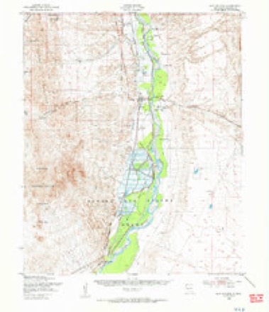
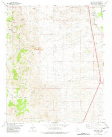
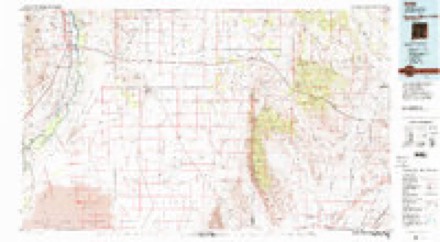
10 topographic sheets cover this place, the earliest surveyed in 1948 and the latest in 1982. It stands in the Socorro census division. It lies in ZIP code area 87801. It lies near Red Canyon. The Survey maps it on the Luis Lopez quadrangle.
Topographic sheets covering this place
6 surveys from 10 printed sheetsMatched by testing this settlement's coordinate against the published boundary of every sheet in the United States Geological Survey's historical collection. Each opens the scanned sheet at the Survey.
- 1948 USGS San Antonio quadrangle1:62500, 2 printings
- 1954 USGS Tucson Spring quadrangle1:250000
- 1954 USGS Tularosa quadrangle1:250000, 3 printings
- 1958 USGS Tularosa quadrangle1:250000, 2 printings
- 1982 USGS Luis Lopez quadrangle1:24000
- 1982 USGS Oscura Mountains quadrangle1:100000
Fires near this place
75 since 1992Regional context, not property-specific evidence. The federal wildfire occurrence database lists 75 fires within 5 miles of Luis Lopez between 1992 and 2020, burning about 2,263 acres in total. 6 started naturally. 3 were recorded as arson. Distance is straight-line from the map coordinates, so a fire counted here may appear on a neighbouring settlement's page as well.
| Reported cause | Fires |
|---|---|
| Missing data/not specified/undetermined | 40 |
| Equipment and vehicle use | 10 |
| Debris and open burning | 9 |
| Natural | 6 |
| Smoking | 5 |
| Arson/incendiarism | 3 |
| Recreation and ceremony | 1 |
| Fireworks | 1 |
The most recent of them, most recent first, with the day each was reported and the service that recorded it.
| Date | Cause | Size | Reported by | Name on the report |
|---|---|---|---|---|
| 9 September 2003 | Natural | 1.0 acres | Socorro Field Office | ESCONDIDO |
| 8 September 2000 | Smoking | under an acre | New Mexico State Forestry Division | MM143-I25 |
| 3 August 2011 | Natural | under an acre | New Mexico State Forestry Division | RHODES |
| 13 August 2000 | Natural | 1.0 acres | Socorro Field Office | YORK |
| 1 August 2003 | Missing data/not specified/undetermined | under an acre | New Mexico State Forestry Division | TRANSFORMER |
| 8 July 2002 | Natural | under an acre | Socorro Field Office | COTTONWOOD |
| 7 July 2009 | Smoking | under an acre | Bosque del Apache National Wildlife Refuge | 139 FIRE |
| 7 July 2003 | Debris and open burning | under an acre | New Mexico State Forestry Division | BENAVEDIZ |
Settlements close enough to share some of these fires:
Mines and quarries near this place
10 of 15 shownRegional context, not property-specific evidence. The federal mineral resources record lists 15 workings within 5 miles of Luis Lopez: 7 past producers, 4 producers, 3 unknowns, 1 occurrence. 4 still produce. What was taken out: Sand and Gravel, Construction, Perlite, Manganese, Iron. Distance is straight-line from the map coordinates, so a quarry counted here may appear on a neighbouring settlement's page as well.
| Where | Site | Commodity | Status | Recorded |
|---|---|---|---|---|
| Iron Horse | Iron | Occurrence | ||
| Red Hill Ext.Claim-Luis Lopez D. | Manganese | Past Producer | 1956 | |
| Socorro Mountain | Kaolin | Past Producer | Residual | |
| State of New Mexico Lease M-20347 To Bureau of Reclamation | Stone, Sand and Gravel, Construction | Past Producer | ||
| Great Lakes Carbon Corp. Socorro Deposit | Perlite | Producer | ||
| Grefco Socorro Perlite | Perlite | Unknown | ||
| Grefco Socorro Perlite Mill | Perlite | Unknown | ||
| Grefco Socorro Perlite Mine 1970's | Perlite | Producer | 1949 | |
| Socorro Perlite Mine | Perlite | Producer | ||
| Materials Pit 59-12-F | Sand and Gravel, Construction | Past Producer |
Storms near this place
4 since 2010Regional context, not property-specific evidence. The National Weather Service names Luis Lopez in 4 storm reports between 2010 and 2021: 2 hail, 2 flash flood. No death or injury is recorded in these reports. Each account below is quoted exactly as the forecast office filed it, from the NOAA Storm Events Database, and each date opens the federal record of that event.
| When | Event | Place named | Harm | What the report says |
|---|---|---|---|---|
| July 2020 | Flash Flood | Luis Lopez | $100,000 | Emergency management and NMDOT officials reported flash flooding in the area between Luis Lopez and San Antonio. State Road 1 was closed between mile markers 51 and 60 due to flood waters and debris over the roadway. One vehicle was trapped in flood waters up to the mirrors near U.S. Highway 380 around San Antonio. U.S. Highway 380 was closed east of San Antonio. Damage amounts are a rough estimate for repairs to several roadways, culverts, low water crossings, and the flooded vehicle. Extent of injuries to the occupants of the flooded vehicle are unknown. |
| October 2021 | Hail | Luis Lopez | $50,000 | A thunderstorm near Luis Lopez produced estimated pea to half inch size hail which accumulated between 6 to 8 inches deep along Interstate 25. The highest accumulations were observed along Interstate 25 between mile markers 144 and 145 which resulted in multiple vehicle accidents as well as the closing of the Interstate. The hail stripped numerous trees of their leaves and also caused damage to chile plants in the Luis Lopez area. Heavy rain from the thunderstorm resulted in the minor flooding of low-water crossings along New Mexico State Road 1 between mile markers 54 and 56 which carried debris on the roadway. No injuries were reported. Damages are estimated for the unknown amount of cars involved in the multi-vehicle accident as well as the crop damage to the chile plants. |
| July 2012 | Flash Flood | Luis Lopez | $10,000 | Rapidly rising water in an arroyo near San Antonio resulted in the closure of State Road 1. Flood waters also impacted a nearby home about halfway between Luis Lopez and San Antonio. |
| June 2010 | Hail | Luis Lopez | - | The hail accumulated to a depth of 3 inches and ranged in size from peas to nickels. |
Nearest settlements
The eight closest, with where each one stands in the county. Distances are straight-line, computed from the Geographic Names Information System coordinates.
| Map | Place | Distance | Sheets |
|---|---|---|---|
| Bosquecito | 2.0 miles | 10 | |
| Laborcita | 3.1 miles | 10 | |
| Tajo (historical) | 4.1 miles | 15 | |
| Socorro | 4.8 miles | 14 | |
| San Antonio | 5.0 miles | 10 | |
| San Pedro | 5.9 miles | 10 | |
| San Antonito | 6.7 miles | 10 | |
| Florida | 7.1 miles | 14 |
Provenance
This settlement is recorded in the Geographic Names Information System as feature 899699. The sheet list is computed by point-in-boundary test against the United States Geological Survey's historical topographic inventory. Both are works of the United States government and carry no copyright under 17 U.S.C. 105.
Wildfire. Short, Karen C. 2022. Spatial wildfire occurrence data for the United States, 1992-2020 [FPA_FOD_20221014]. 6th Edition. Fort Collins, CO: Forest Service Research Data Archive. https://doi.org/10.2737/RDS-2013-0009.6 Collected with United States Government funding and usable without additional permissions or fees.
Mines and quarries. USGS Mineral Resources Data System (MRDS) https://mrdata.usgs.gov/mrds/ A work of the United States government, no copyright under 17 U.S.C. 105.
Storms. NOAA National Centers for Environmental Information, Storm Events Database https://www.ncei.noaa.gov/stormevents/ A work of the United States government, no copyright under 17 U.S.C. 105. Narratives are quoted verbatim from the National Weather Service report and are not edited or summarised.