 Block
From the record
38 National Register listings published here, 1 of them a National Historic Landmark.
Sources: the National Register database, National Park Service
103 topographic sheets and 18 fire insurance atlases across 3 places.
38 National Register listings published here, 1 of them a National Historic Landmark.
Sources: the National Register database, National Park Service
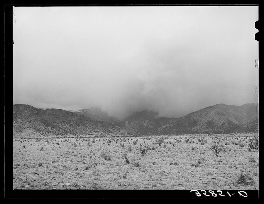
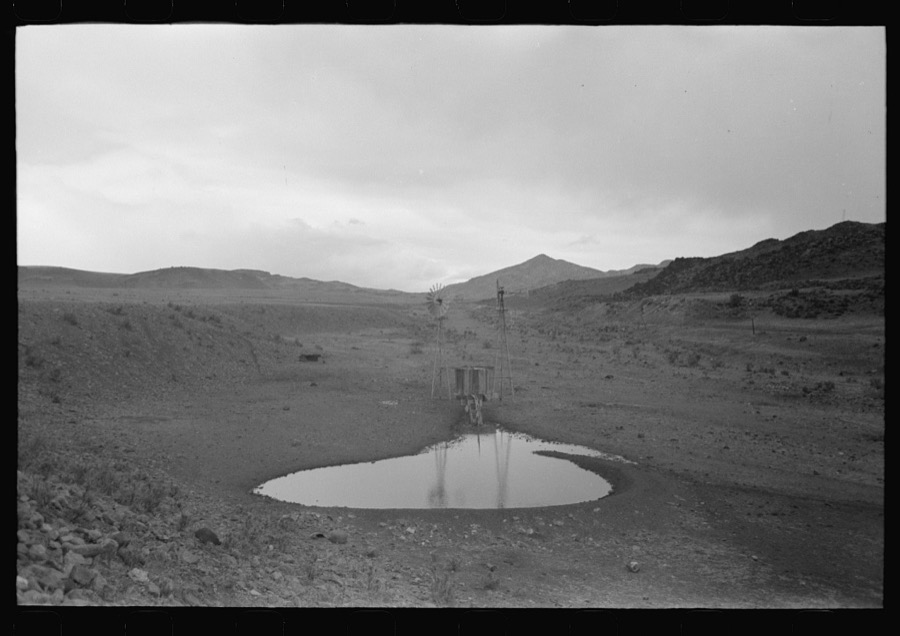
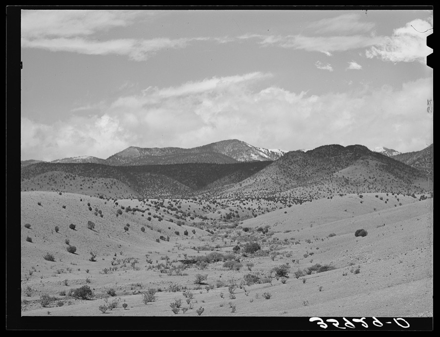
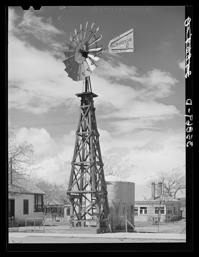
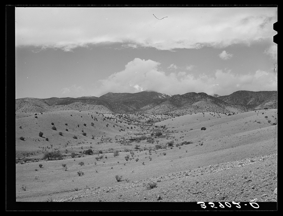
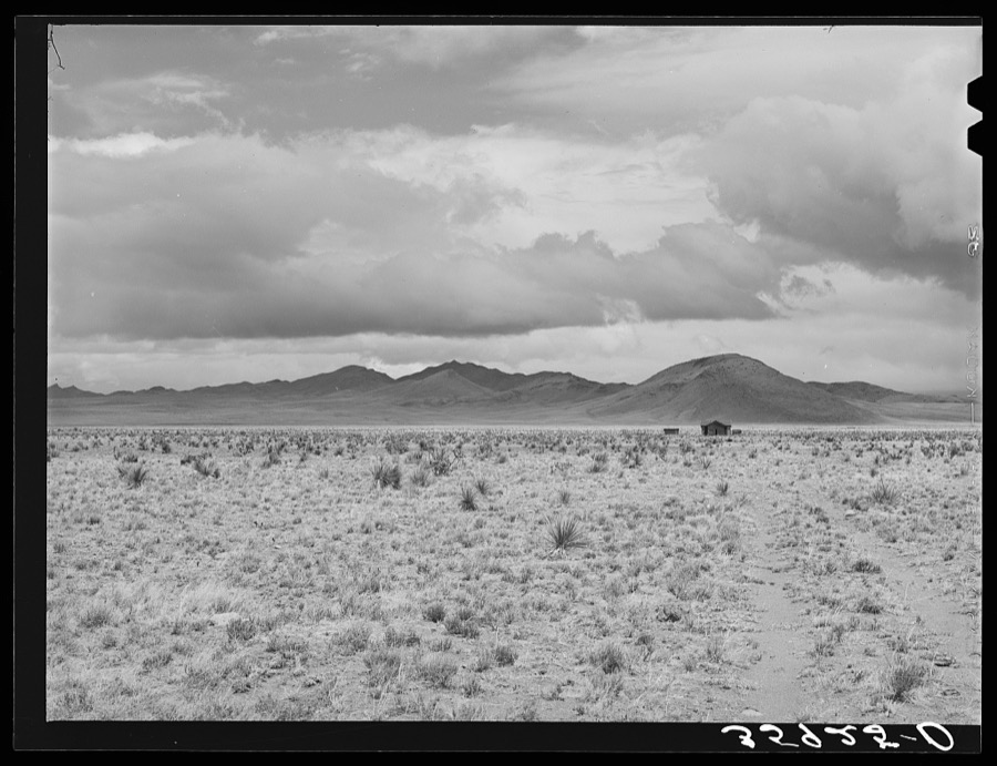
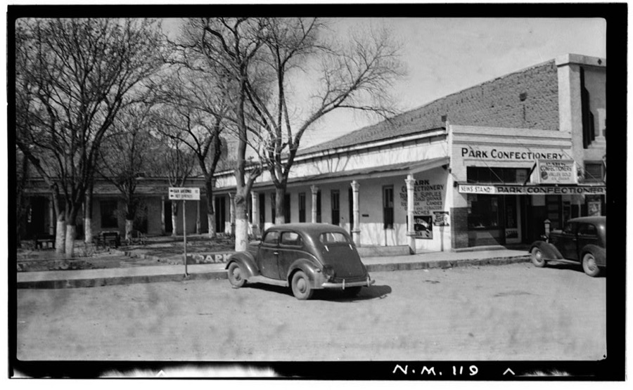
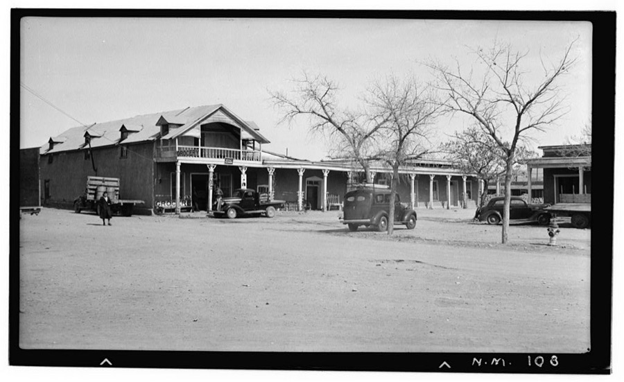
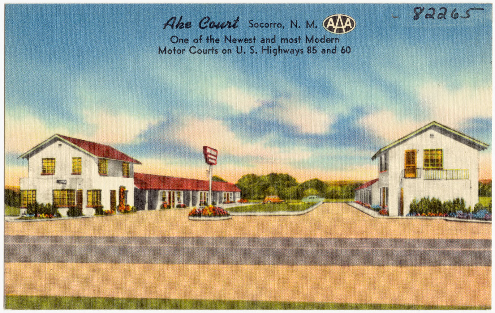
Taken for the Office of War Information and the Farm Security Administration, who photographed the country between 1935 and 1944. Works of United States government photographers, with no known restriction on use. Each opens its catalogue record.
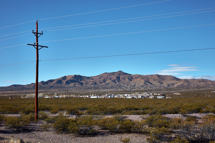
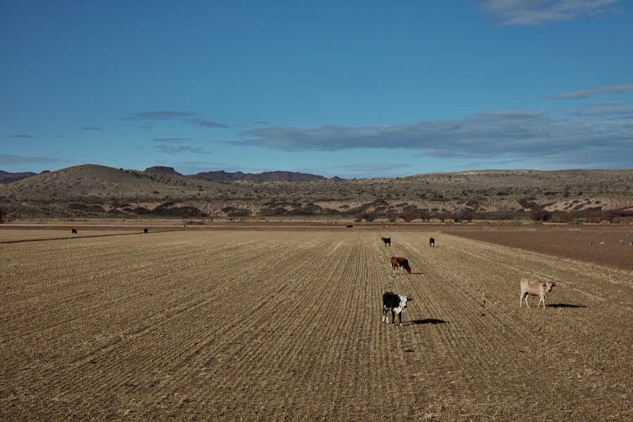
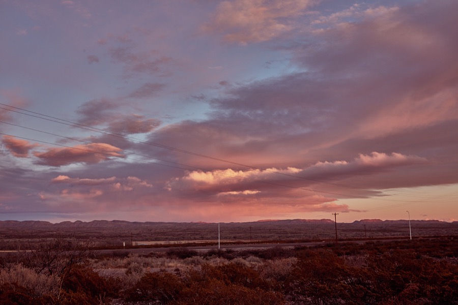
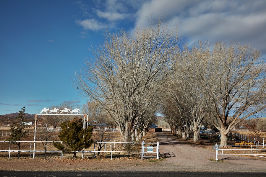
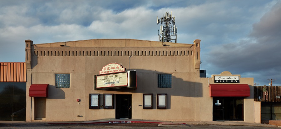

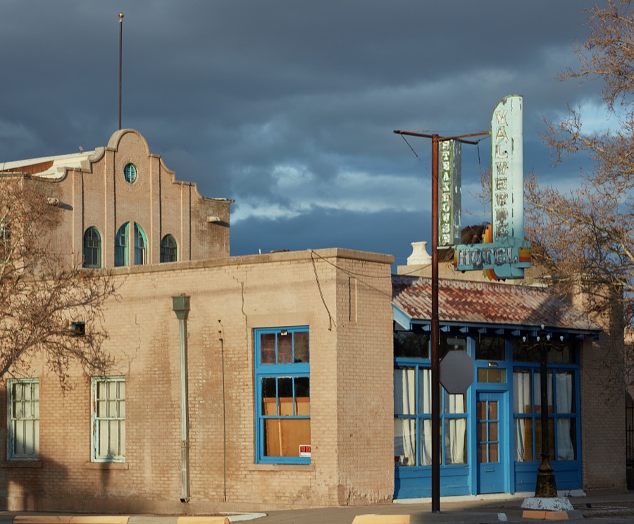
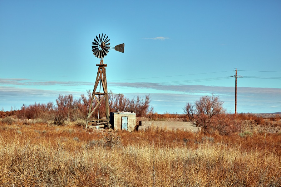
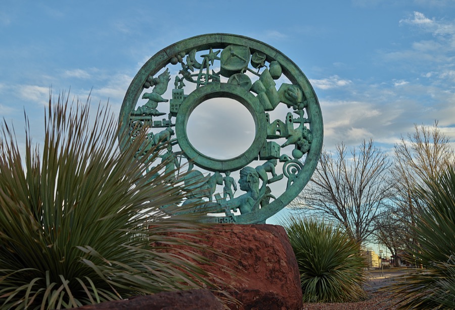
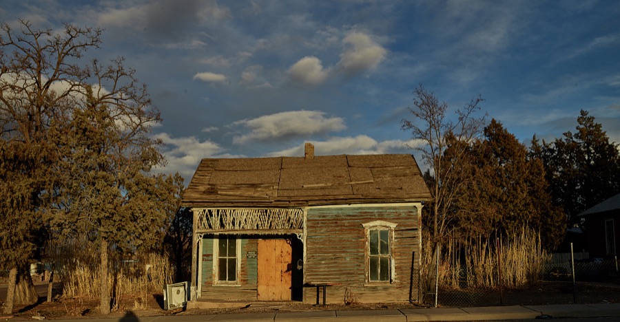
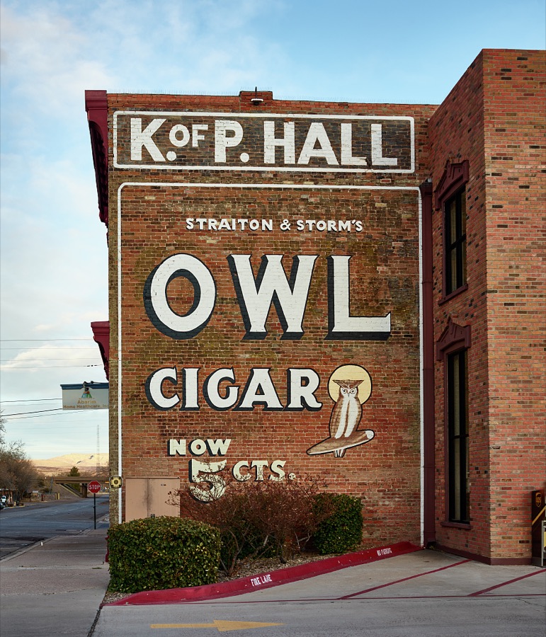
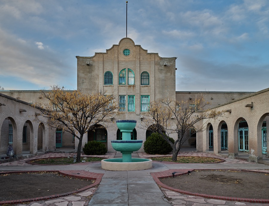
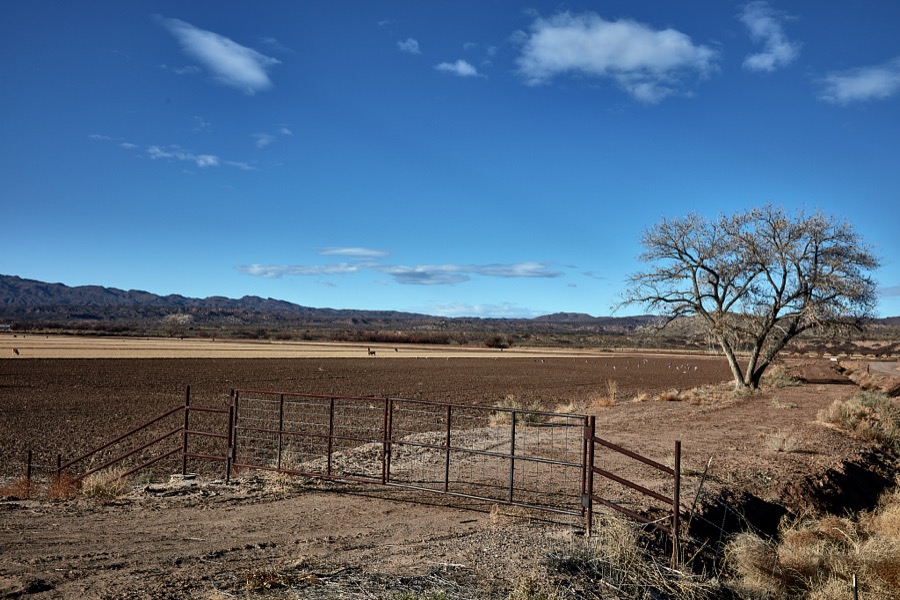
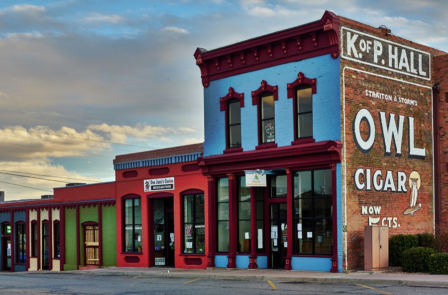

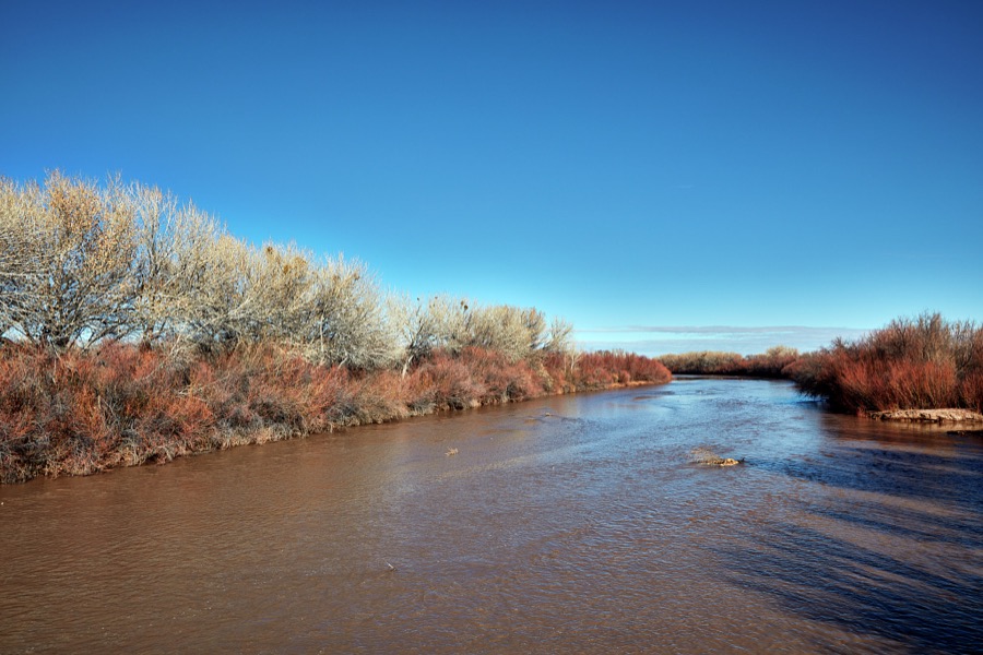
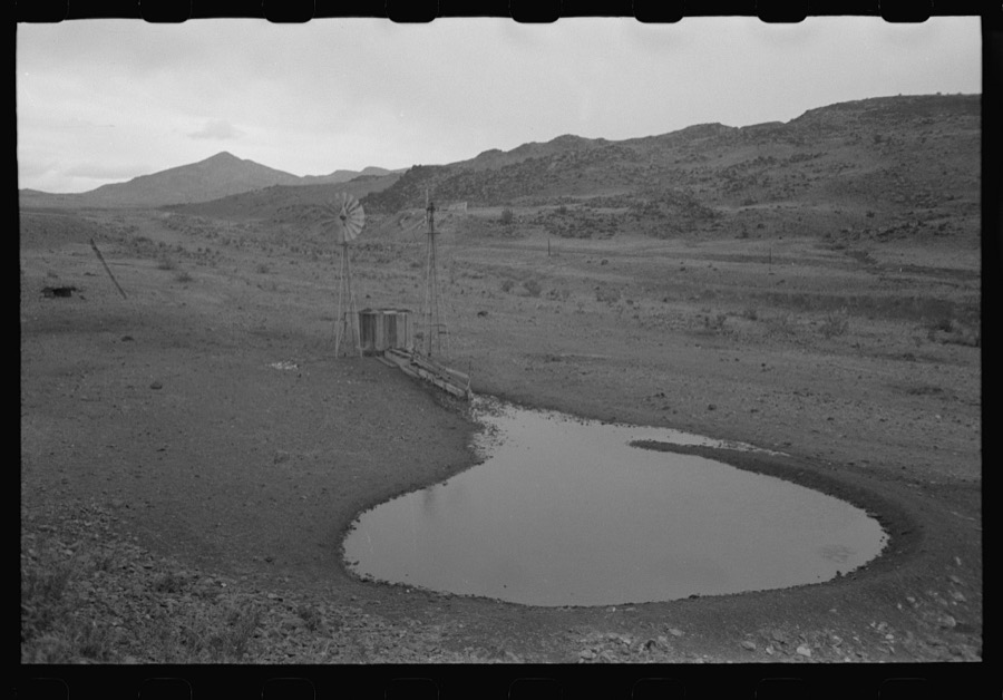
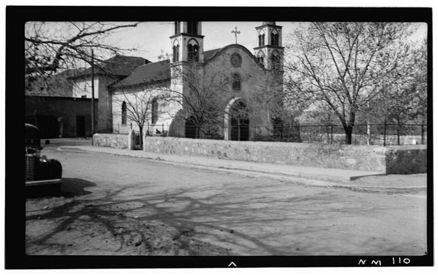
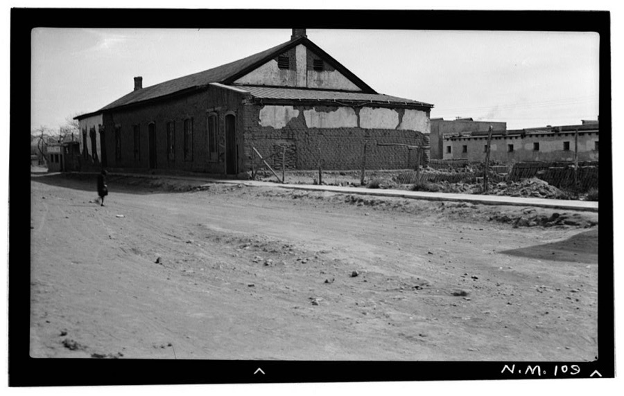
Every property in this county listed on the National Register of Historic Places, with the year it was listed and the federal nomination document.
| Photograph | Property | Type | Listed | Reference |
|---|---|---|---|---|
 | Aragon House | building | 1982 | 82003327 |
 | Atchison, Topeka and Santa Fe Railway Depot | building | 1978 | 78001829 |
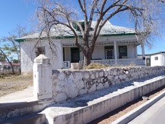 | A. B. Baca House | building | 1991 | 91000036 |
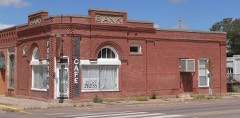 | Bank of Magdalena | building | 1982 | 82003328 |
| Biavaschi Saloon-Capitol Bar | building | 2024 | 100009669 | |
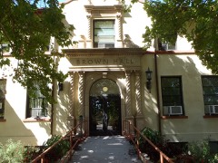 | Brown Hall | building | 1989 | 88001550 |
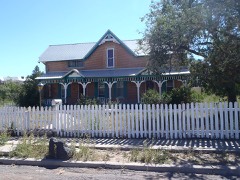 | Bursum House | building | 1975 | 75001172 |
| Clemens Ranchhouse | building | 1979 | 79001557 | |
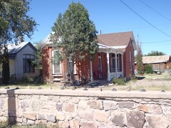 | Captain Michael Cooney House | building | 1991 | 91000029 |
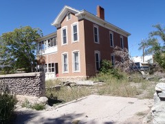 | Anthony Cortesy House | building | 1991 | 91000033 |
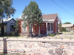 | Nestor P. Eaton House | building | 1991 | 91000034 |
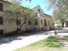 | Fitch Hall | building | 1989 | 88001551 |
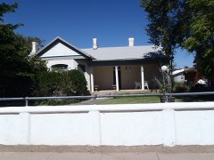 | James Gurden Fitch House | building | 1991 | 91000035 |
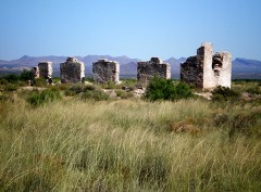 | Fort Craig | site | 1970 | 70000414 |
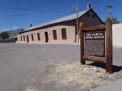 | Garcia Opera House | building | 1974 | 74001210 |
| Juan Nepomuceno Garcia House | building | 1991 | 91000027 | |
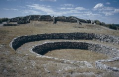 | Gran Quivera Historic District | district | 2015 | 15000355 |
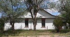 | Gutierrez House | building | 1982 | 82003329 |
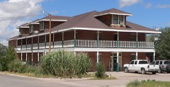 | Hall Hotel | building | 1982 | 82003330 |
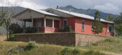 | Hilton House | building | 1982 | 82003331 |
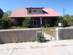 | August Holver Hilton House | building | 1991 | 91000031 |
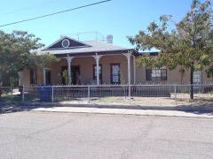 | House at 303 Eaton Avenue | building | 1991 | 91000032 |
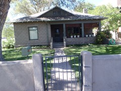 | House at 405 Park Street | building | 1991 | 91000030 |
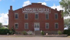 | Ilfeld Warehouse | building | 1982 | 82003332 |
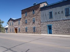 | Illinois Brewery | building | 1975 | 75001173 |
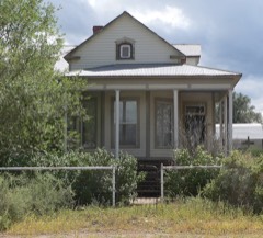 | Lewellen House | building | 1982 | 82003333 |
| MacDonald Merchandise Building | building | 1980 | 80002573 | |
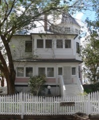 | MacTavish House | building | 1982 | 82003334 |
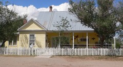 | Magdaline House | building | 1982 | 82003335 |
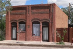 | Main Street Commercial Building | building | 1982 | 82003336 |
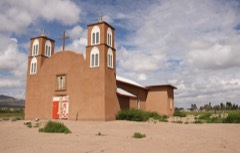 | Sagrada Familia de Lemitar Church, Los Dulces Nombres | building | 1983 | 83001631 |
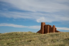 | Salinas Pueblo Missions National Monument | district | 1966 | 66000494 |
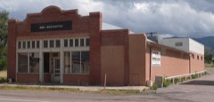 | Salome Store | building | 1982 | 82003337 |
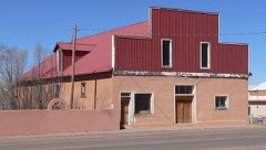 | Salome Warehouse | building | 1982 | 82003338 |
 | San Miguel Church | building | 2016 | 16000162 |
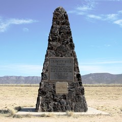 | Trinity Site | district | 1966 | 66000493 |
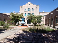 | Val Verde Hotel | building | 1977 | 77000930 |
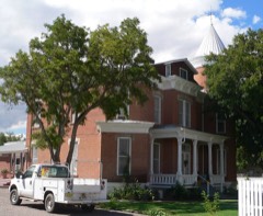 | Rufina Vigil House | building | 1991 | 91000028 |
Sampled issues, machine-read from the Library of Congress scan and published page by page, so every headline and column is searchable text.
Socorro, N.M., 1902 to 1959. Machine-read from the Library of Congress scan.
Socorro, N.M., 1890 to 1901. Machine-read from the Library of Congress scan.
Socorro, Socorro County, N.M., 1884 to 1890. Machine-read from the Library of Congress scan.
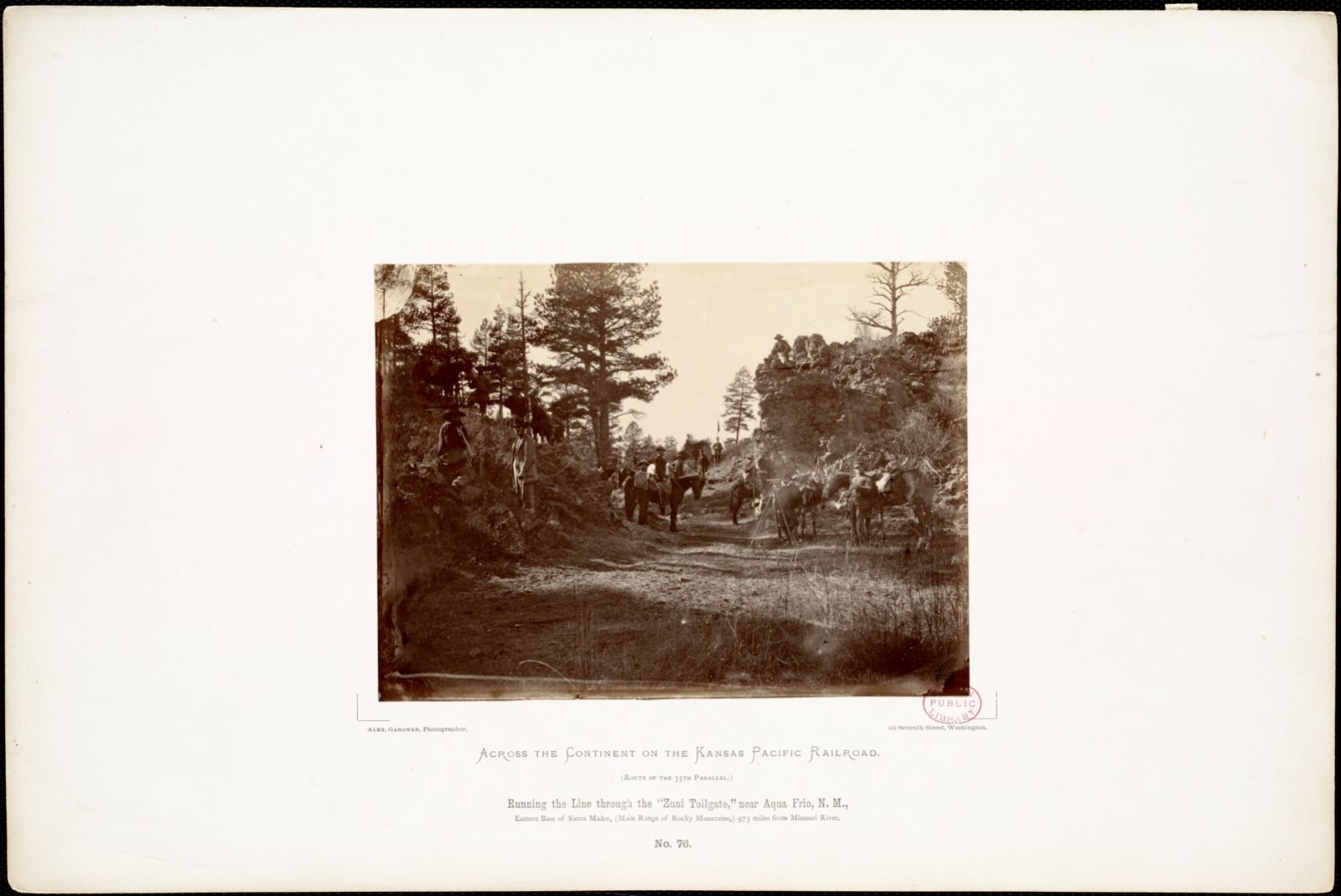
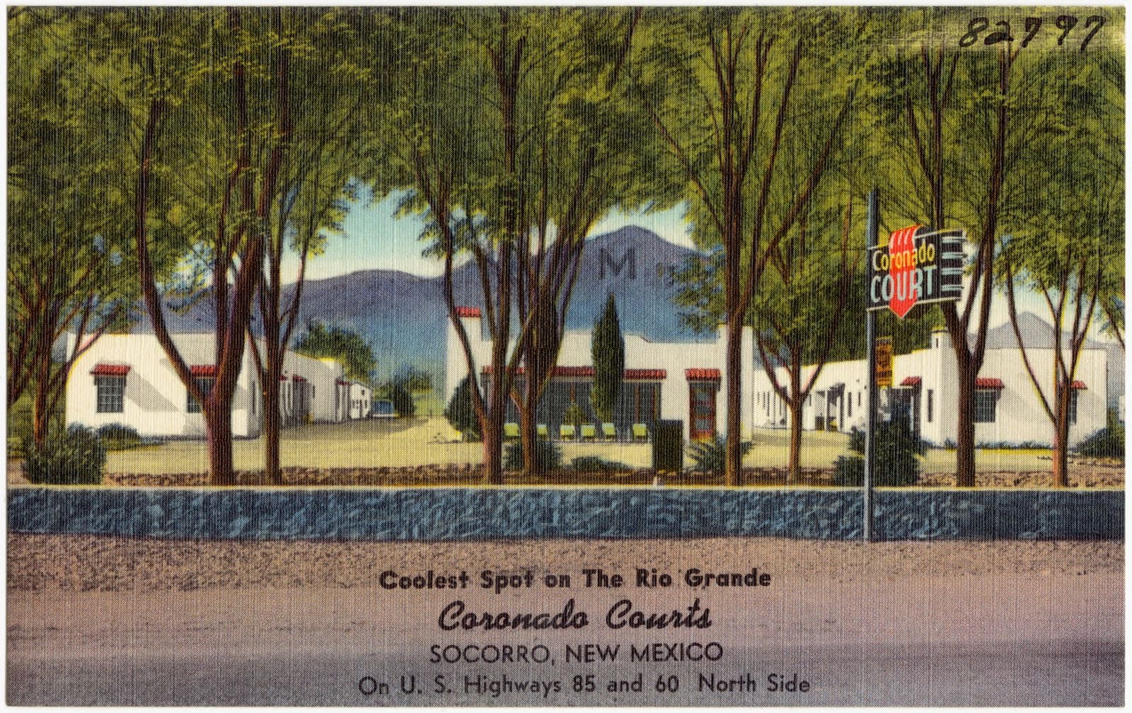
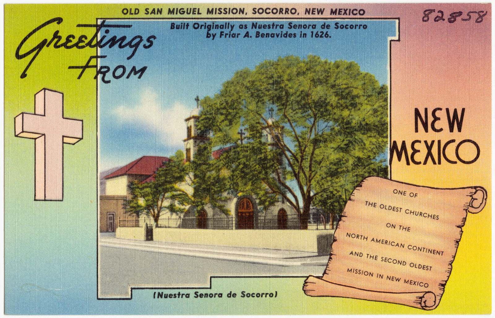
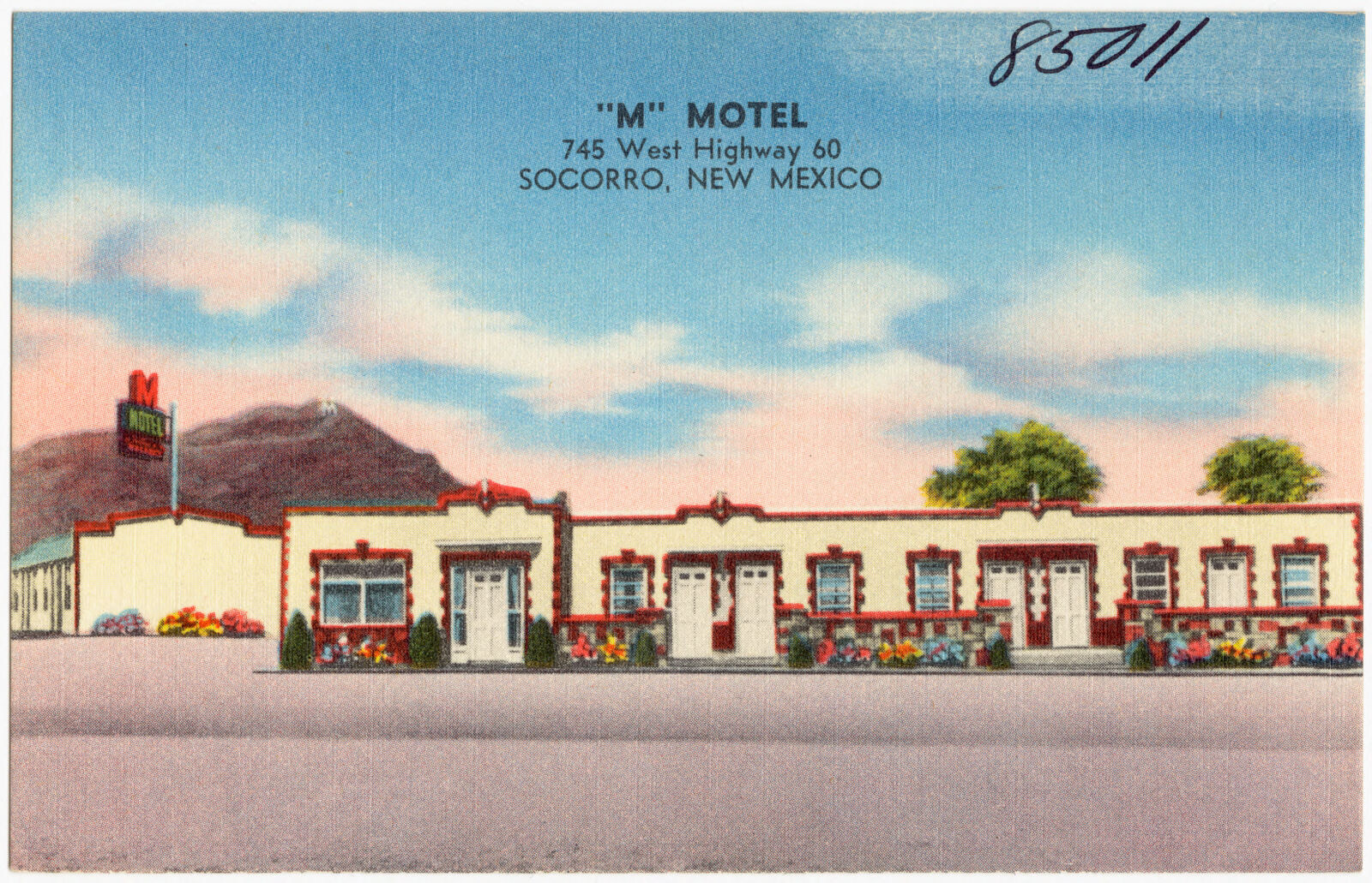
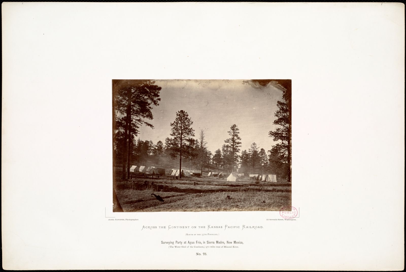
Selected from the Digital Public Library of America's 10 image records catalogued for this county. Every one shown here carries a public-domain status or a licence that permits reuse on a site that carries advertising; non-commercial, share-alike and restricted images are excluded. The selection is spread across the county's towns (at most eight per town), so no single institution's bulk upload crowds out the rest. Each opens the holding library's record, and the complete set at the Digital Public Library of America is one click away.

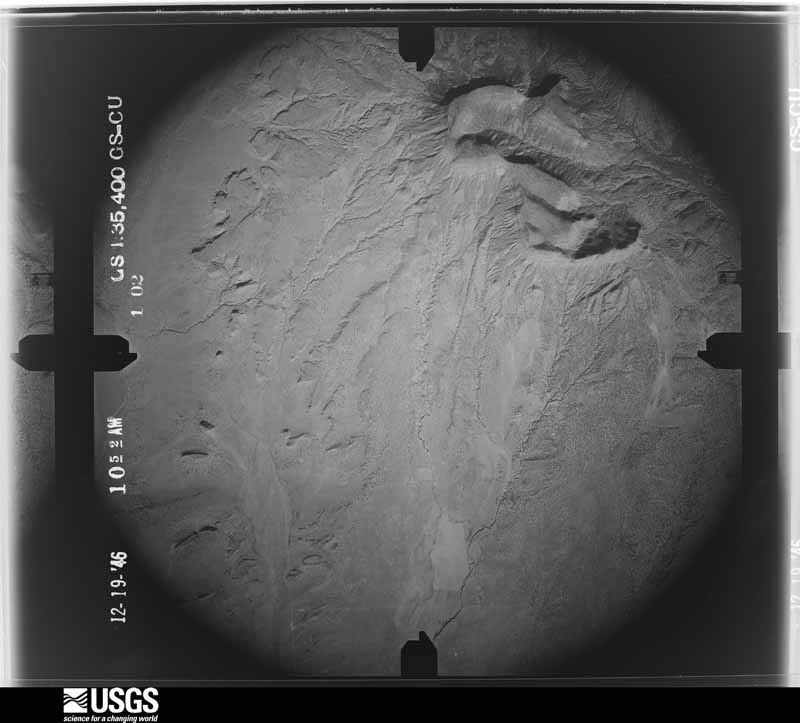
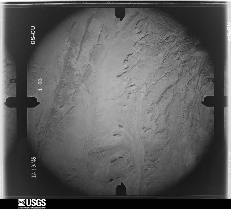
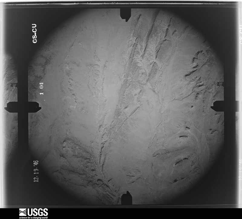
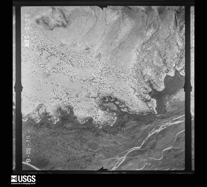
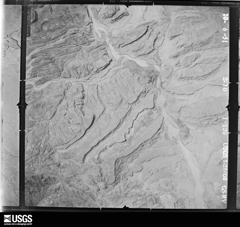
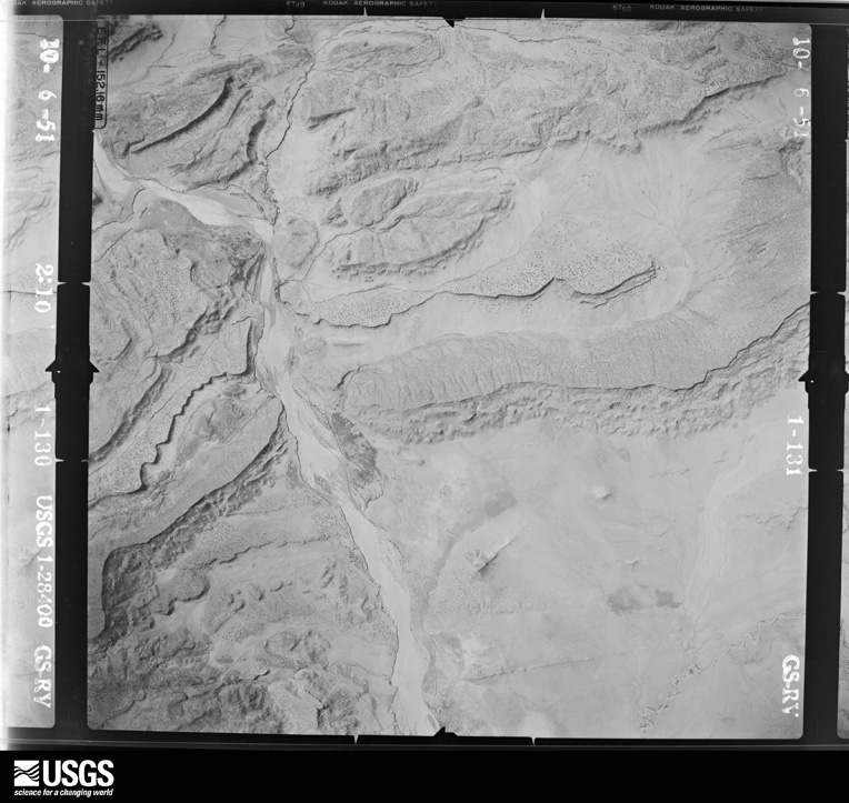
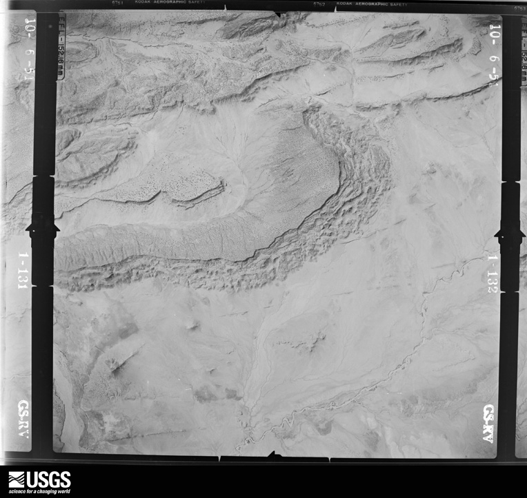
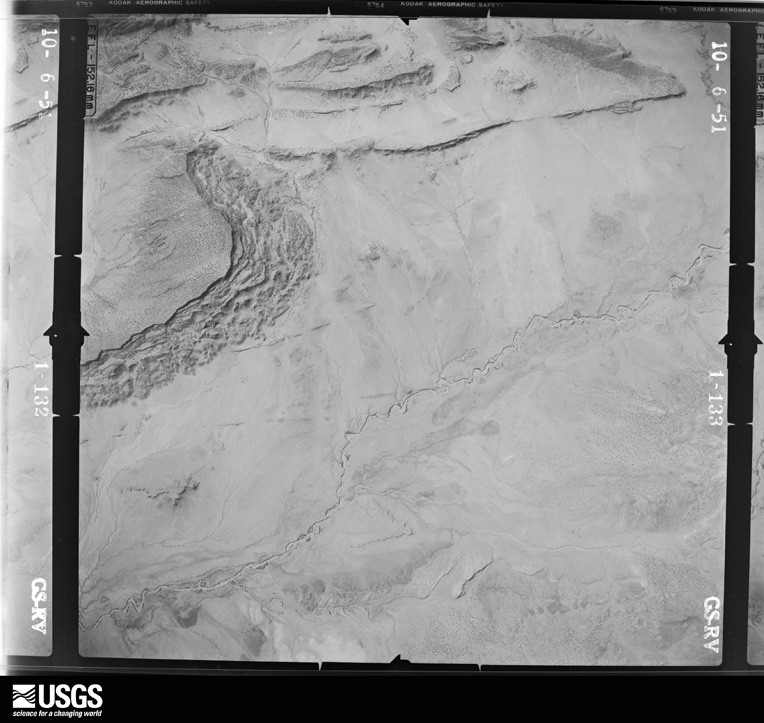
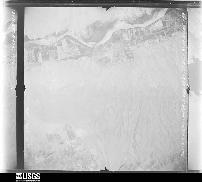
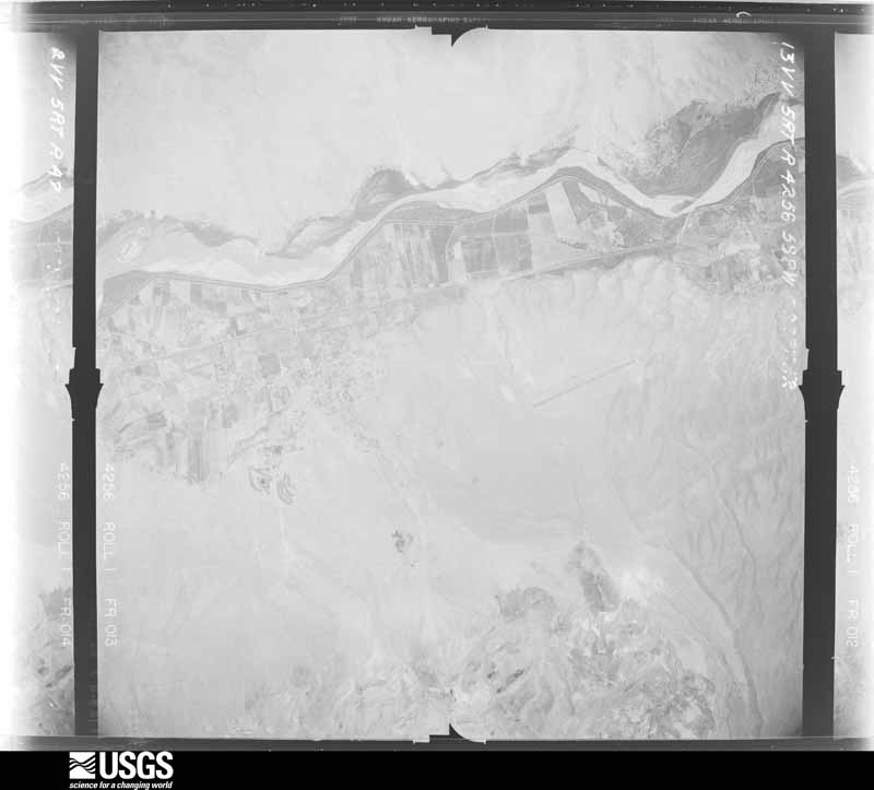
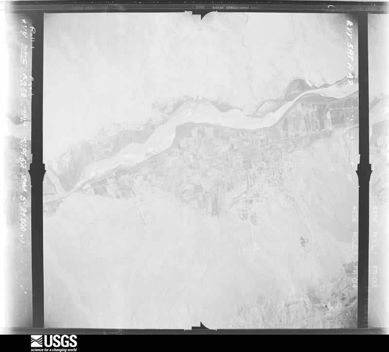
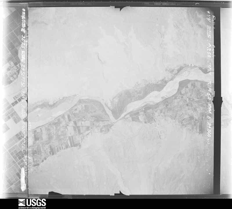
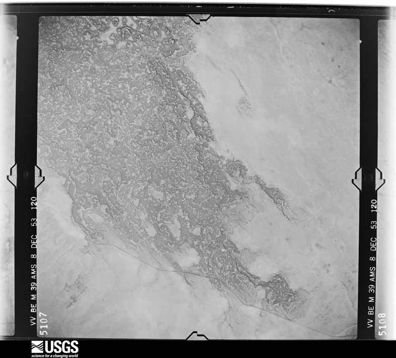
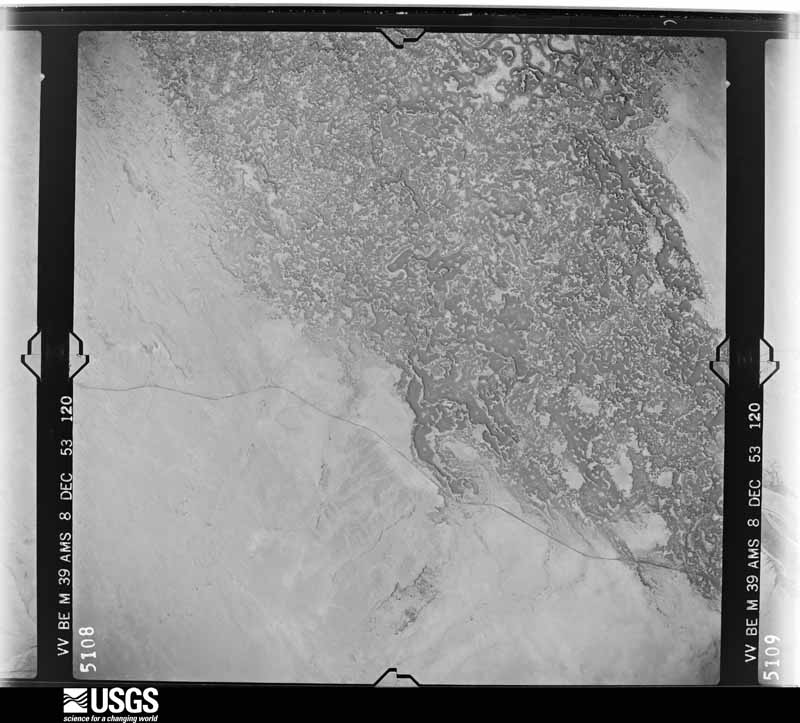
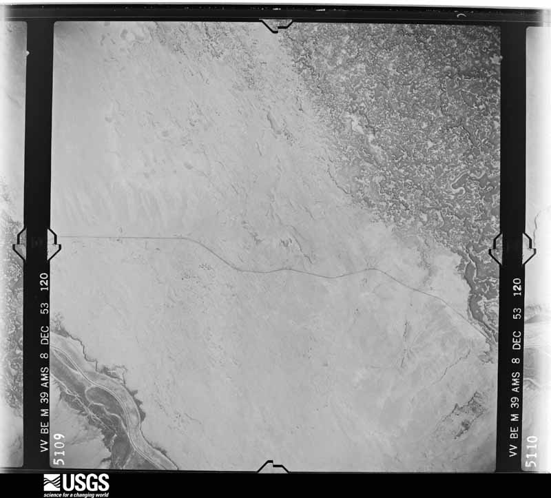
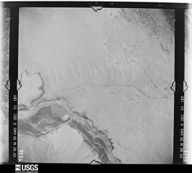
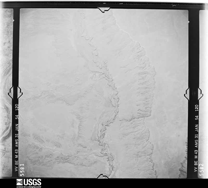
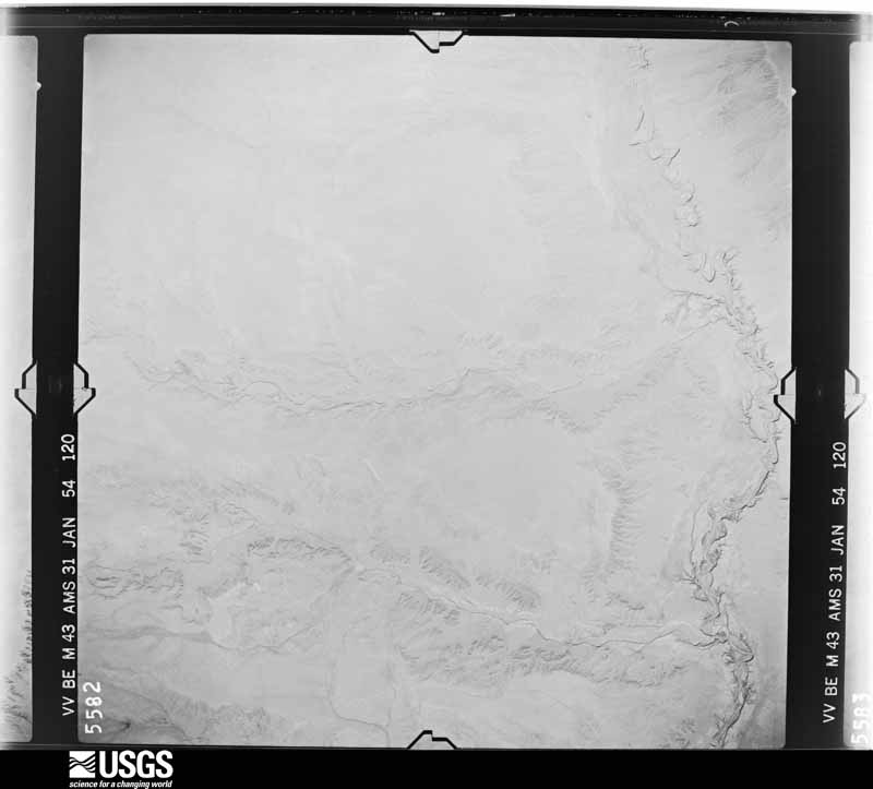
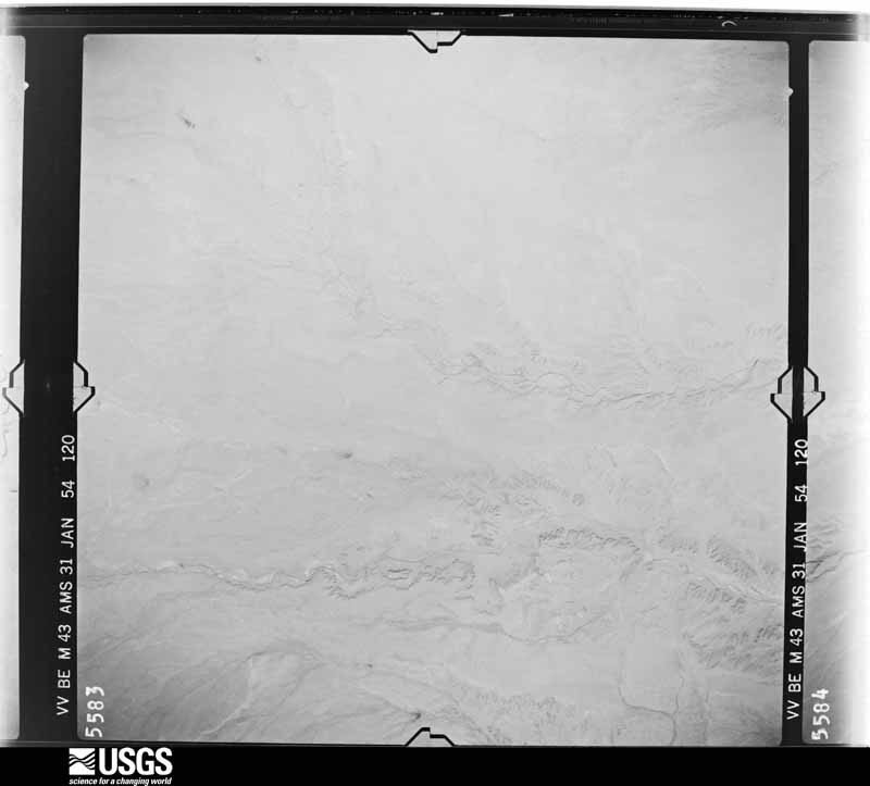
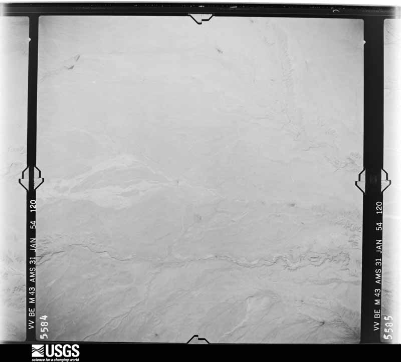
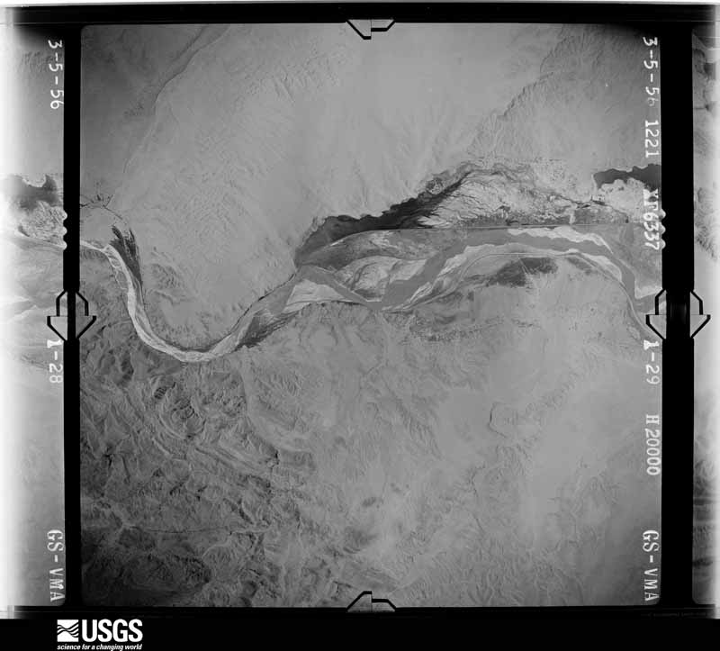
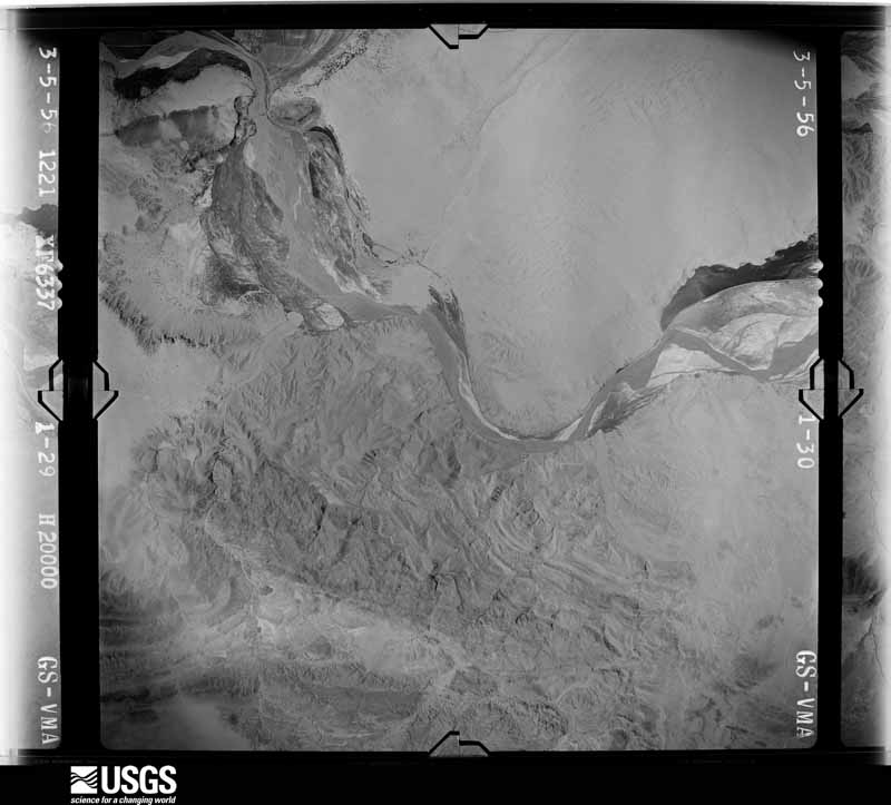
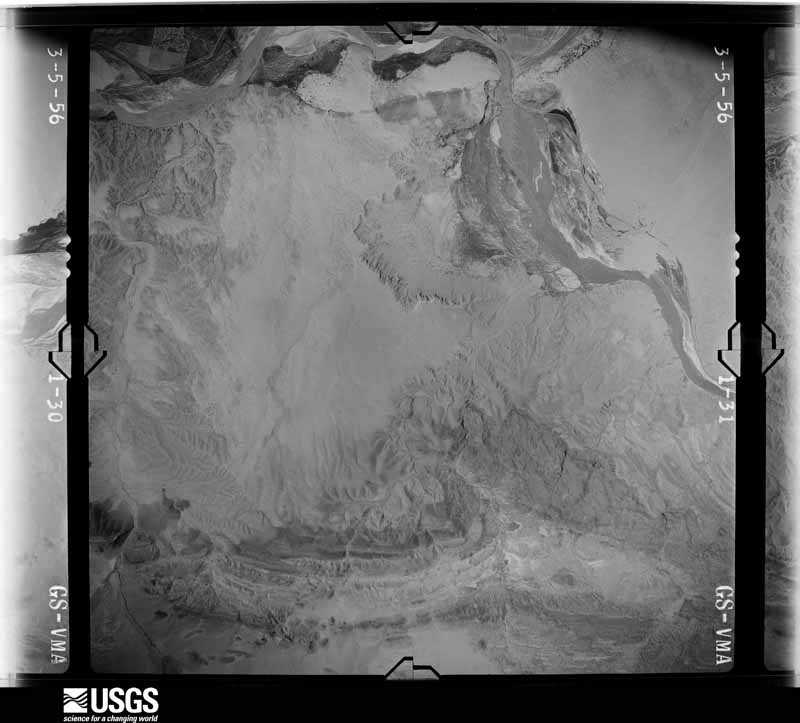
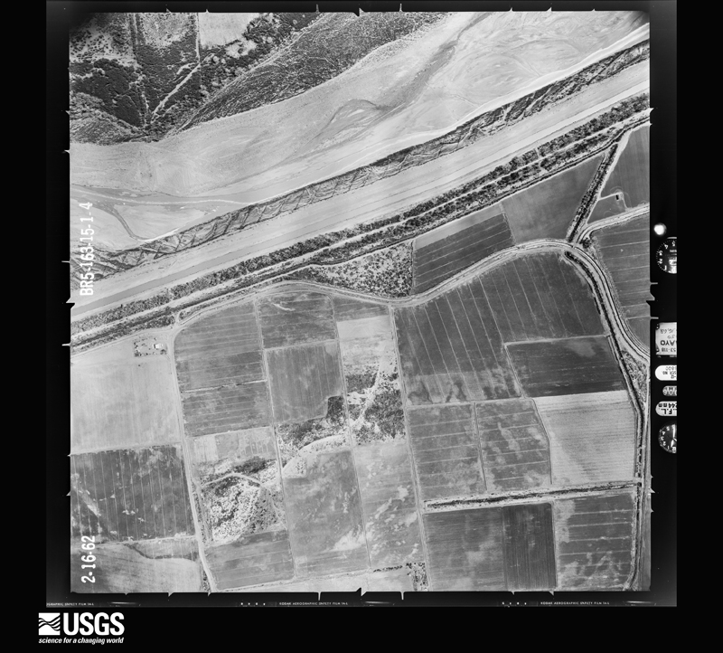
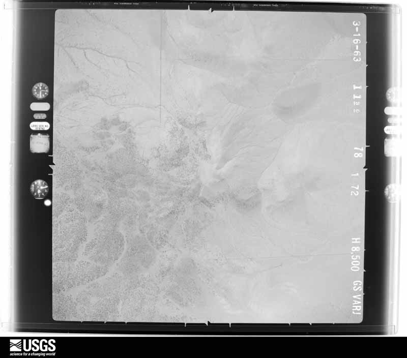
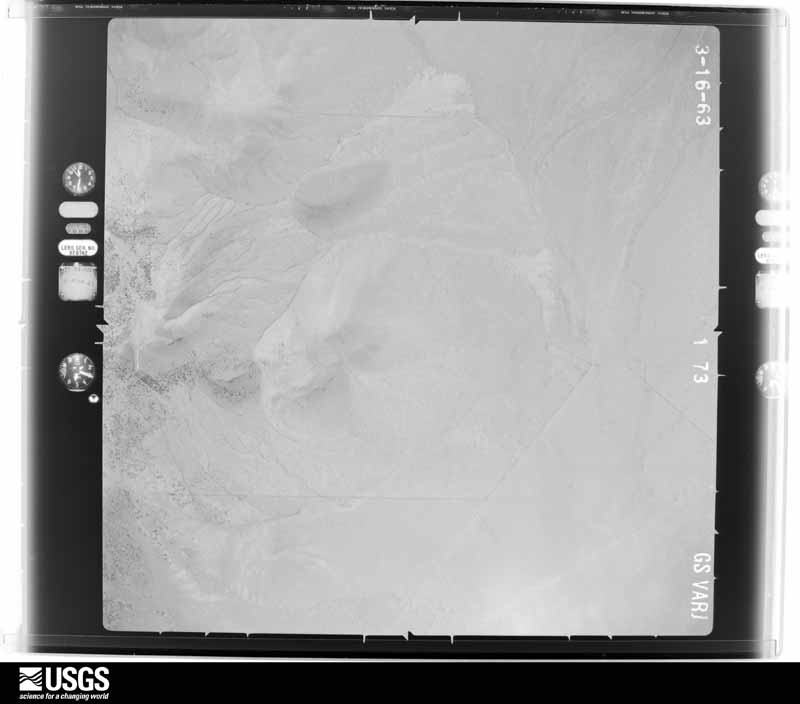
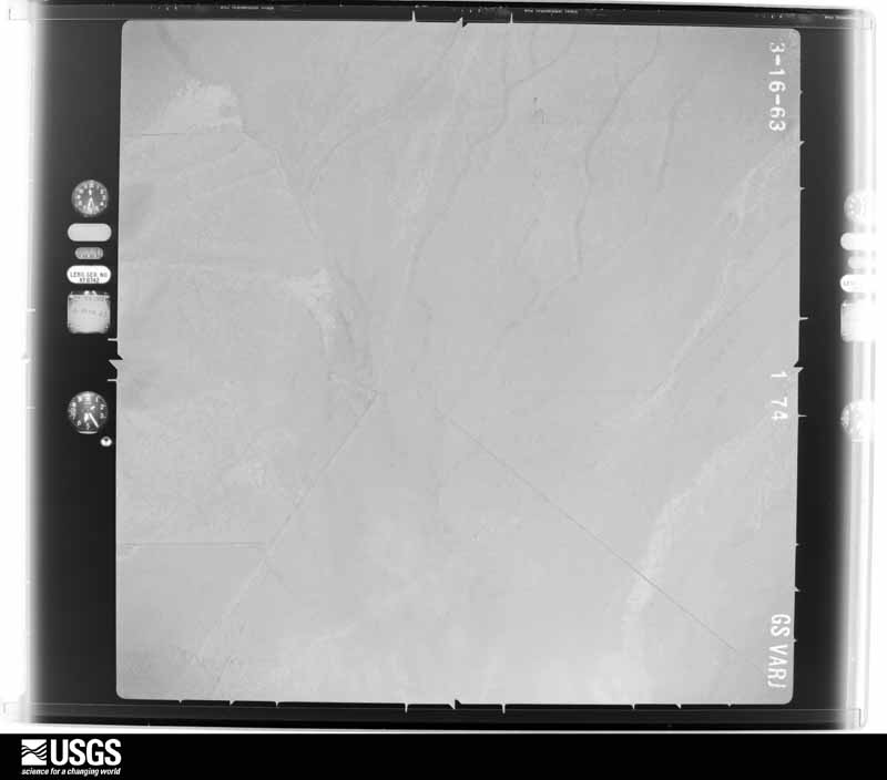
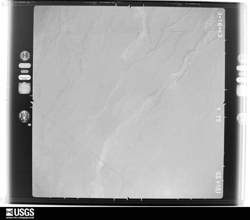
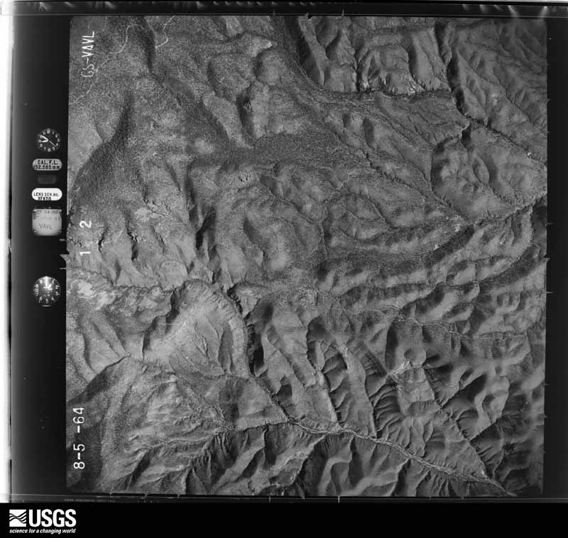
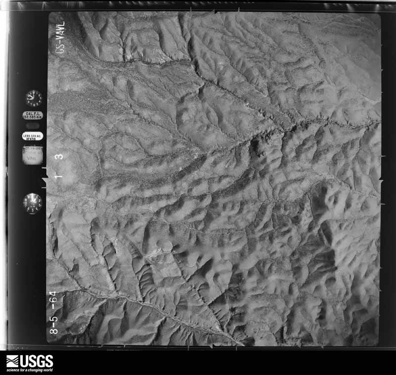
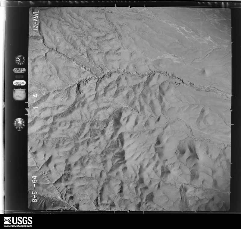
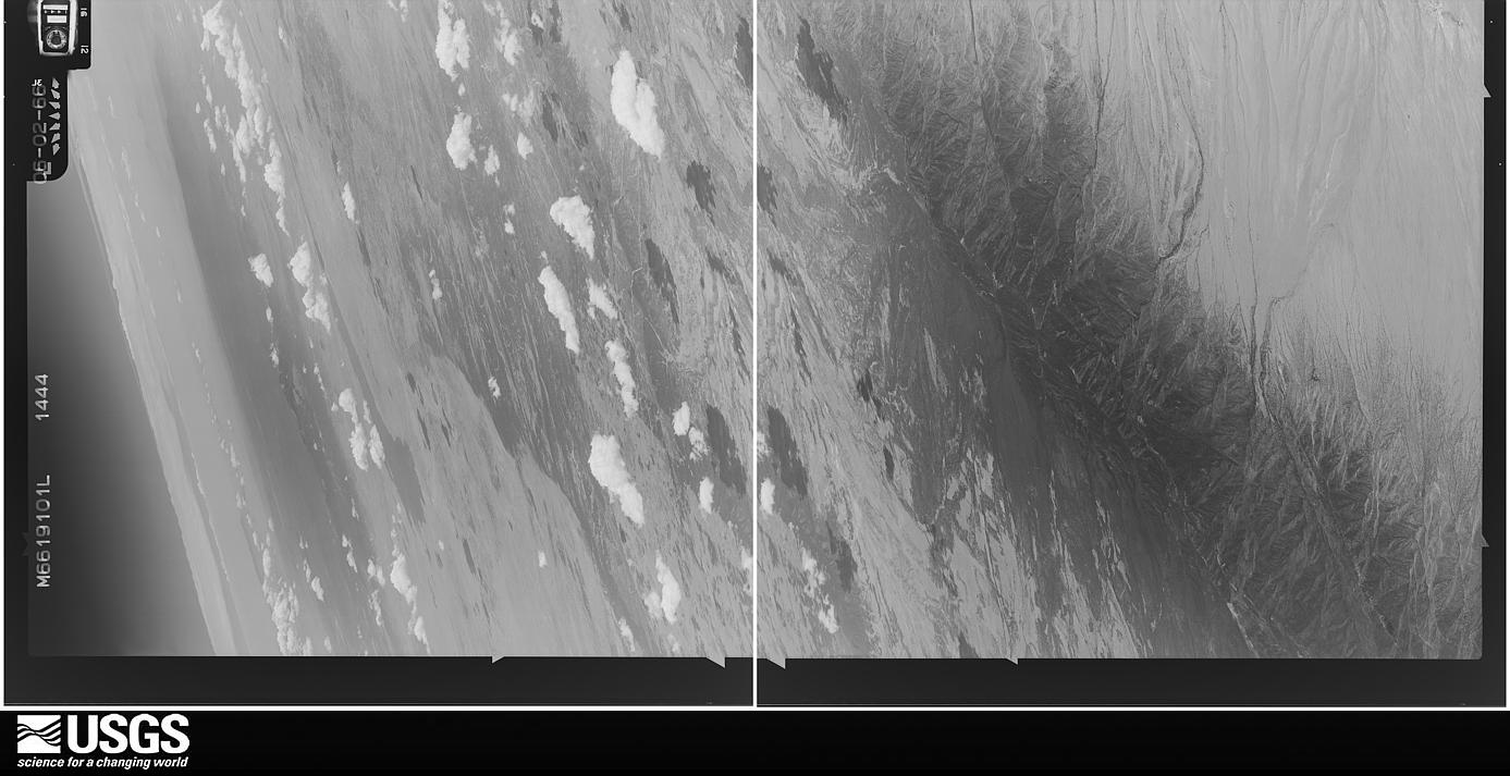
Flown by the U.S. Geological Survey between 1937 and 1989, the Aerial Photo Single Frames collection is the definitive mid-century view of the land: fields, roads and rivers as the camera saw them. The Survey holds 9,196 frames inside the rectangle that bounds this county; the 48 frames below were taken over the county itself, chosen across the decades of flights (at most four a year from that rectangle), so one flight cannot crowd out the rest. The full set is free to browse and download at EarthExplorer under the dataset Aerial Photo Single Frames.
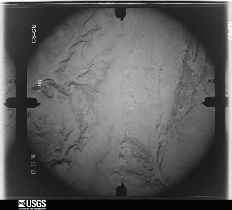
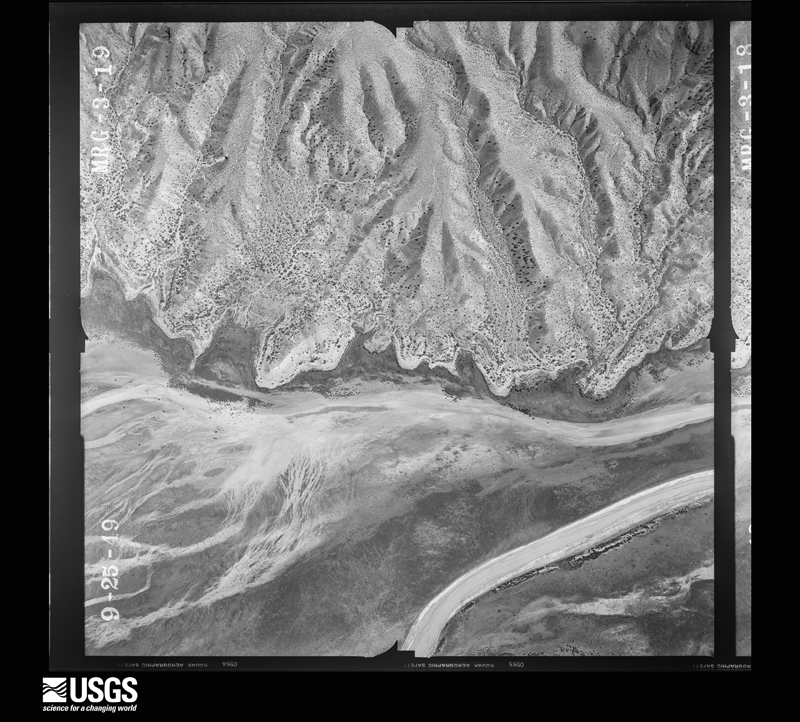
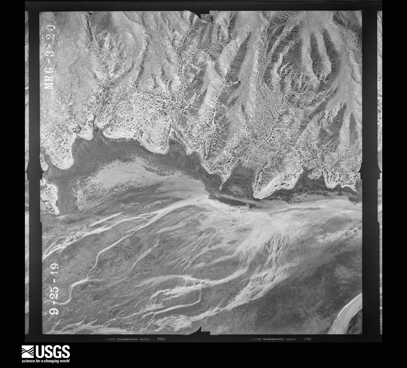
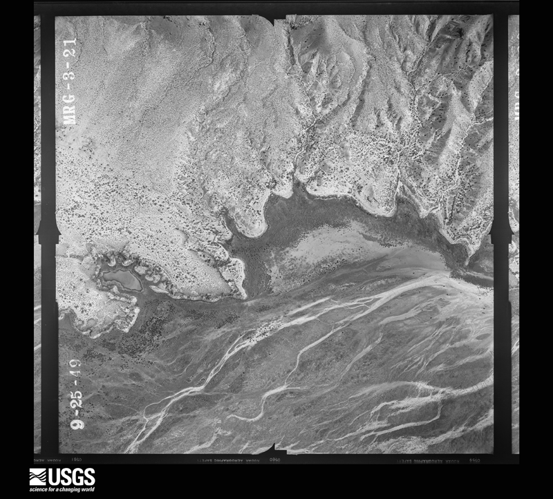
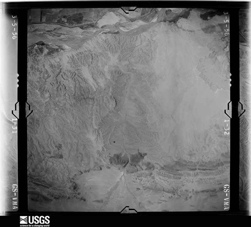
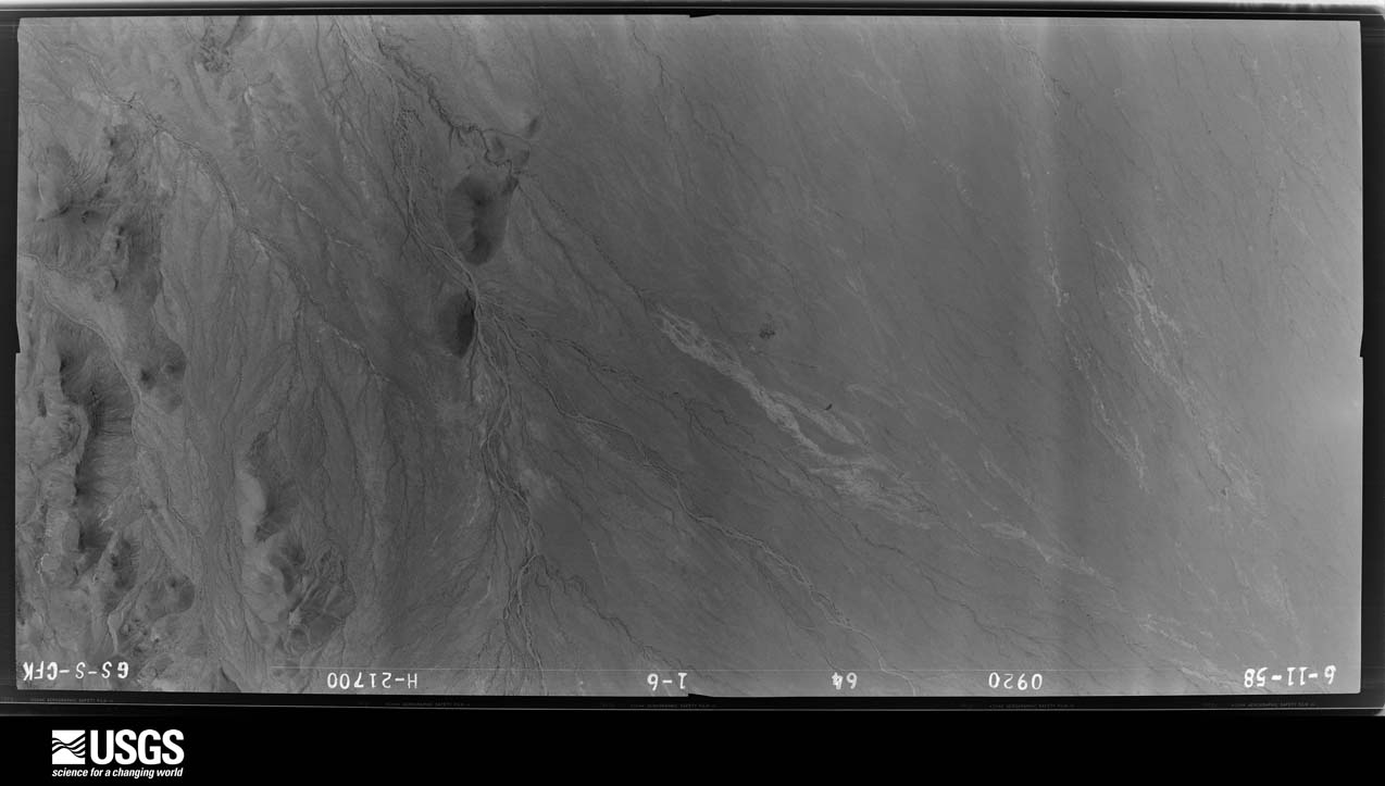
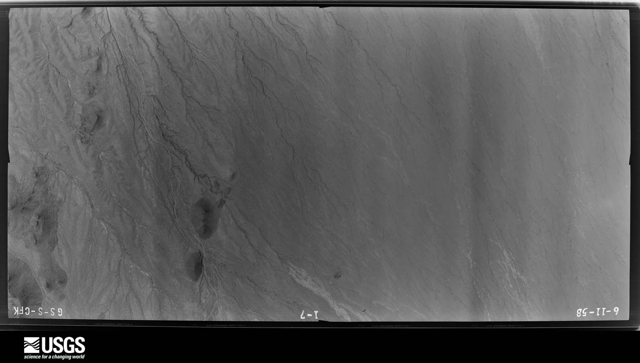
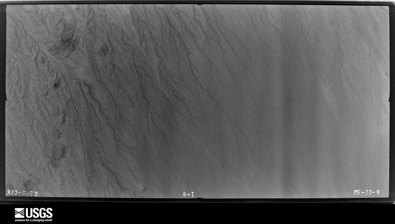
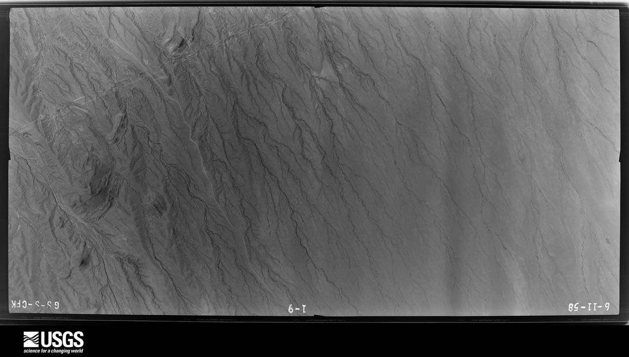
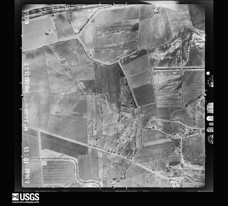
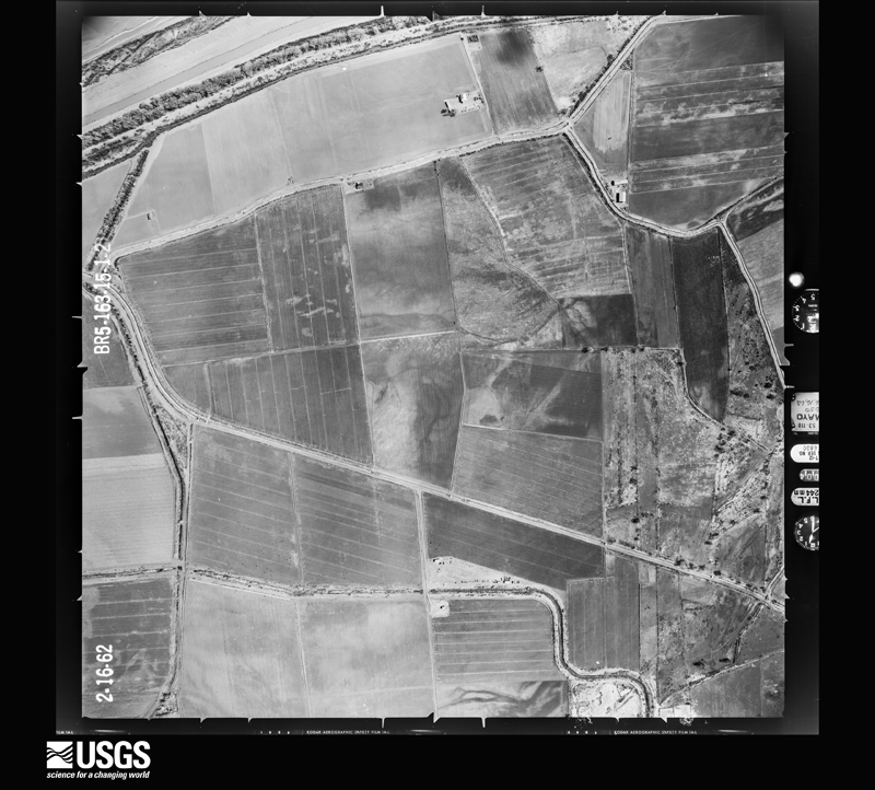
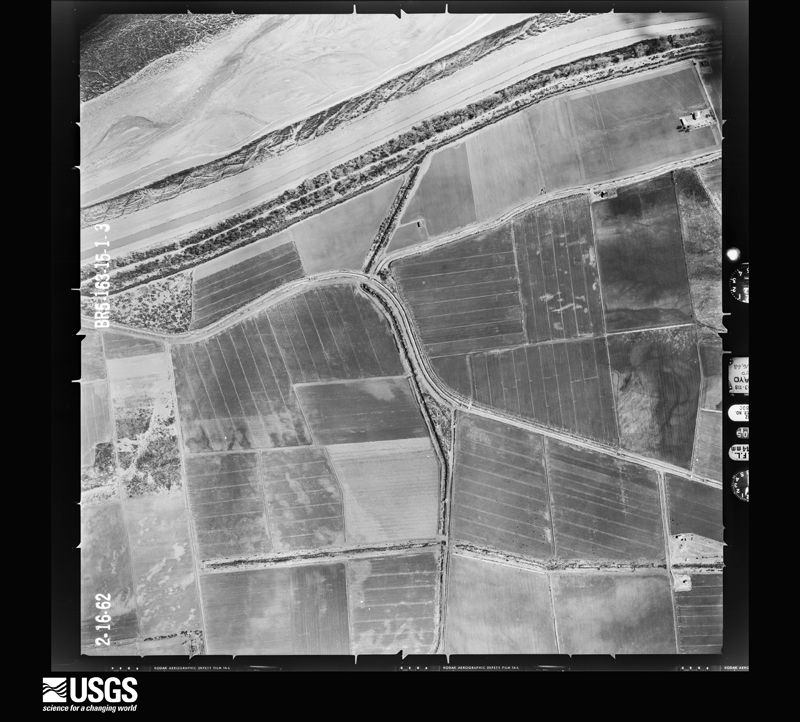
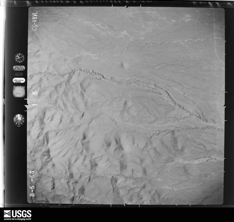
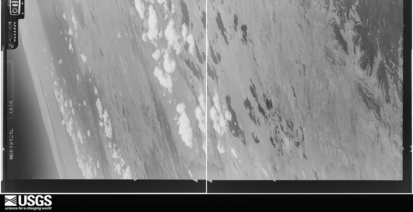
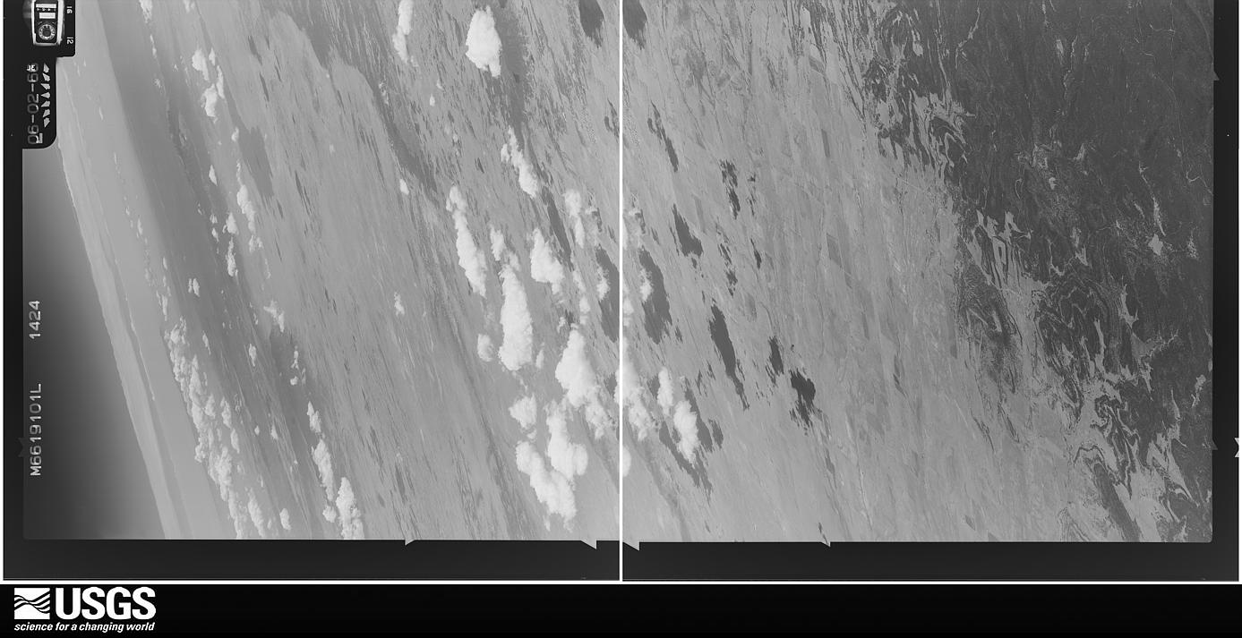
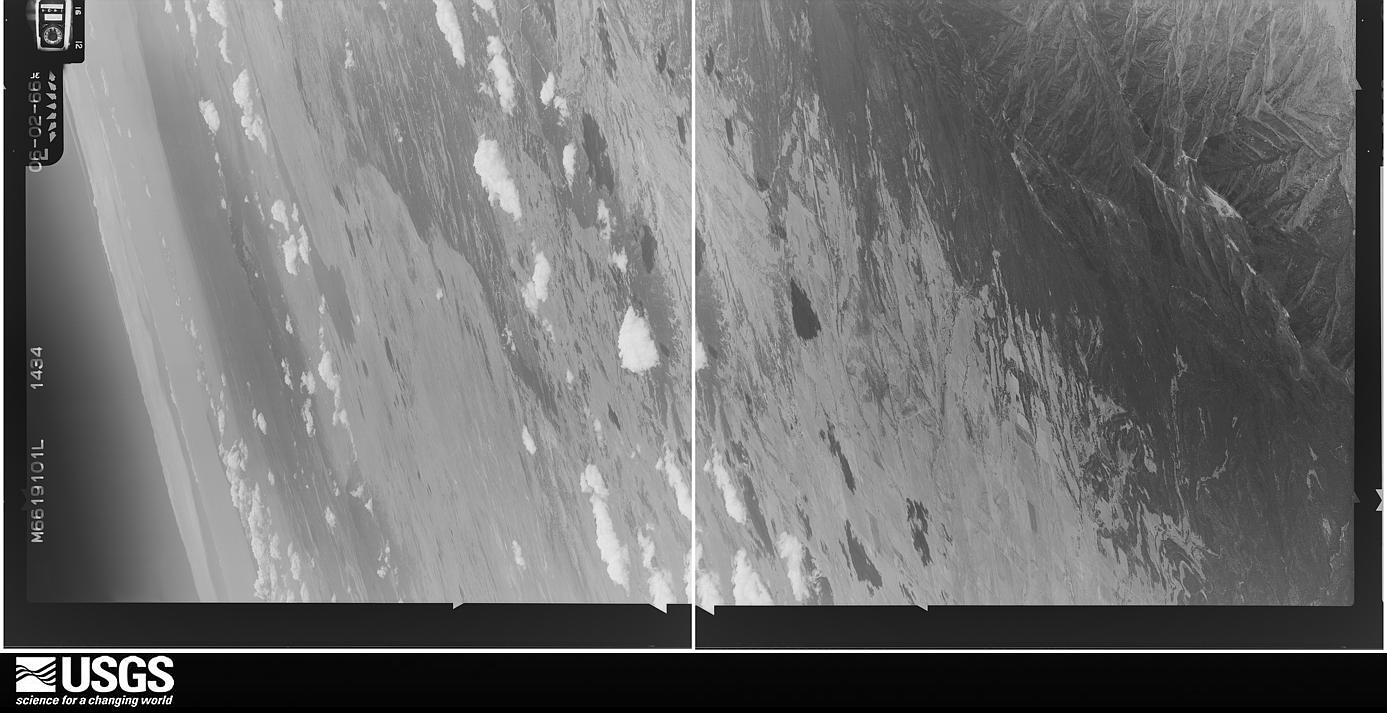
The thermometers that kept this county's weather, and the gages that measured the flow of its streams, as the federal records hold them. The extremes below are measured values from those records, not estimates.
Who lived here in 1950, one enumeration district at a time, as the Census Bureau described each district. Each row opens its official National Archives result, with Population Schedules and ED Maps available there.
Every wildfire the federal occurrence database records inside this county: 1,325 of them, burning about 262,501 acres. 688 started naturally and 20 were recorded as arson. Each settlement page carries the fires within five miles of it.
| Reported cause | Fires |
|---|---|
| Natural | 688 |
| Missing data/not specified/undetermined | 292 |
| Debris and open burning | 112 |
| Equipment and vehicle use | 96 |
| Recreation and ceremony | 58 |
| Smoking | 32 |
| Arson/incendiarism | 20 |
| Power generation/transmission/distribution | 9 |
| Railroad operations and maintenance | 7 |
| Fireworks | 5 |
| Other causes | 4 |
| Misuse of fire by a minor | 2 |
The five largest, by the area the report gives. None of them was recorded as arson.
| Date | Cause | Size | Reported by | Name on the report |
|---|---|---|---|---|
| 21 May 2016 | Natural | 42,102 acres | Cibola National Forest | NORTH FIRE |
| 5 June 1994 | Natural | 22,200 acres | Cibola National Forest | POT |
| 15 June 2015 | Natural | 17,843 acres | Cibola National Forest | RED CANYON FIRE |
| 15 June 1994 | Missing data/not specified/undetermined | 17,000 acres | New Mexico State Forestry Division | RELAPSE |
| 15 June 2020 | Natural | 14,624 acres | Cibola National Forest | VICS PEAK |
| 22 July 1994 | Natural | 11,500 acres | Las Cruces Field Office | BLACK |
| 11 June 1994 | Natural | 10,000 acres | Las Cruces Field Office | OSCURA |
| 11 July 1993 | Natural | 9,000 acres | Las Cruces Field Office | RANGE |
Every settlement page carries the fires within five miles of it - see the settlement index below.
The NOAA Storm Events Database holds 188 reports for this county, causing no deaths, 1 injury and about $44,671,530 in recorded property damage. Each settlement page carries the reports that name it.
| Kind of event | Reports |
|---|---|
| Hail | 61 |
| Thunderstorm Wind | 55 |
| Flash Flood | 51 |
| Tornado | 10 |
| Flood | 4 |
| Heavy Rain | 2 |
| Funnel Cloud | 2 |
| Lightning | 2 |
| Wildfire | 1 |
The most serious of them, by death, then injury, then recorded damage. The accounts are quoted exactly as the forecast office filed them.
| When | Event | Place named | Harm | What the report says |
|---|---|---|---|---|
| September 1992 | Hail | not stated | 1 hurt | no account filed |
| October 2004 | Hail | Socorro | $40,000,000 | no account filed |
| September 2013 | Flood | La Joya | $1,200,000 | The initial round of intense rainfall on the 10th and 11th flooded numerous roadways and homes then subsequent heavy rainfall through the 15th created extreme flooding. County emergency management indicated a total of at least 16 roads were washed out and damaged severely across the county, including NM 408 and CR 91 between Escondida and Lemitar, and NM 1 between San Antonio and Luis Lopez. The Rio Puerco and Rio Grande rivers both flooded into nearby low lying areas and threatened nearby communities. A breach in a levee on the Rio Puerco flooded several homes and the community of San Francisco was evacuated. The US 380 bridge east of San Antonio was overtopped. US 60 was closed at mile marker 166. |
| July 2013 | Flash Flood | Laborcita | $600,000 | Numerous reports of roads flooded, washed out, and damaged in eastern portion of Socorro County. Emergency Manager indicated cost of damage was near 1.2 million dollars. |
| July 2013 | Flash Flood | Bingham | $600,000 | Numerous reports of roads flooded, washed out, and damaged along the Socorro County stretch of U.S. 380. Emergency Manager indicated cost of damage was near 1.2 million dollars. |
| July 2021 | Flash Flood | Veguita | $500,000 | Very strong thunderstorms with heavy rainfall of 2 to 4 inches severely impacted the Socorro area as well as areas north of the city into the early morning hours of July 7th. The Socorro County emergency manager reported that irrigation ditches throughout Socorro County were impacted with overtopping and washing out due to the flood waters. The La Joya Acequia sustained significant damage with several feet of concrete-lined ditches lost and culverts exposed. The Sabinal Fire Station in northern Socorro County was flooded, and numerous homes in low-lying areas in the County had water surrounding them. Numerous country roads and arroyos were flooded and washed out. The BNSF Railroad was also significantly impacted as all trains had to be stopped due to silt and rock debris covering the railroad tracks that go through Socorro County. Damages are estimated. |
| July 2021 | Flash Flood | Bernardo | $250,000 | Strong thunderstorms that moved southwest through Socorro County brought heavy rain with reports of one to two inches. This resulted in widespread flooding across central Socorro County. The La Joya area was especially impacted with additional damage to the La Joya Acequia. A large section of the concrete ditch system north of La Joya was severely damaged, and several ditches and drains were filled with silt. All of the arroyos in the La Joya area flooded which washed away several of the arroyo banks and caused additional damage. The Rio Puerco River created to 17.75 feet Friday evening which was its highest level since 2013. Homes in the Contreras area were surrounded by flood water. Damages are estimated. |
| September 1997 | Heavy Rain | Socorro | $200,000 | no account filed |
| July 1999 | Flash Flood | Socorro | $150,000 | Heavy rain near Socorro filled arroyos with runoff during the late evening. Several levees along Arroyo Matanza failed as additional strong runoff from the Magdalena Mountains overwhelmed a 90 degree turn in the arroyo just south of Socorro. Water flooded nearly 800 acres of farmland washing away fresh cut alfalfa hay and covering about 300 acres in heavy mud. An adjacent railroad bed was also undercut least 5 times along 2 miles of track. |
| July 2020 | Flash Flood | Alamo | $100,000 | Flash flooding damaged several roadways and culverts around Alamo. Emergency management estimated damages between $60,000 and $100,000. |
| July 2020 | Flash Flood | Luis Lopez | $100,000 | Emergency management and NMDOT officials reported flash flooding in the area between Luis Lopez and San Antonio. State Road 1 was closed between mile markers 51 and 60 due to flood waters and debris over the roadway. One vehicle was trapped in flood waters up to the mirrors near U.S. Highway 380 around San Antonio. U.S. Highway 380 was closed east of San Antonio. Damage amounts are a rough estimate for repairs to several roadways, culverts, low water crossings, and the flooded vehicle. Extent of injuries to the occupants of the flooded vehicle are unknown. |
| September 2019 | Flash Flood | Bernardo | $100,000 | Emergency management reported damaged roads and closures in the area south of Abeytas. Damage amounts are a rough estimate for dirt roads washed out. |
| September 2013 | Flood | San Antonio | $75,000 | Water flooded several homes near San Antonio. Several roads around San Antonio were still under water as of noon on the 12th and then finally cleaned up by around 630 pm on the 12th. |
| July 1997 | Thunderstorm Wind | Socorro | $60,000 | A mobile home overturned and landed on a car, and power lines were downed as a brief, but strong storm moved over Socorro. |
| July 2022 | Flash Flood | Magdalena | $50,000 | Forest thinning in the Magdalena Mountains resulted in a flash flooding event that made it easier for water to rush down an unnamed canyon. Floodwaters left behind a pile of debris 6 feet high and 20 feet wide that included steel fence posts and barbed wire, damaged trailed, and boulders that were 200 to 300 pounds. Damages are estimated. |
| October 2021 | Hail | Luis Lopez | $50,000 | A thunderstorm near Luis Lopez produced estimated pea to half inch size hail which accumulated between 6 to 8 inches deep along Interstate 25. The highest accumulations were observed along Interstate 25 between mile markers 144 and 145 which resulted in multiple vehicle accidents as well as the closing of the Interstate. The hail stripped numerous trees of their leaves and also caused damage to chile plants in the Luis Lopez area. Heavy rain from the thunderstorm resulted in the minor flooding of low-water crossings along New Mexico State Road 1 between mile markers 54 and 56 which carried debris on the roadway. No injuries were reported. Damages are estimated for the unknown amount of cars involved in the multi-vehicle accident as well as the crop damage to the chile plants. |
| September 2019 | Flash Flood | Alamo | $50,000 | Emergency management reported damaged roads and culverts with closures in the area south of Alamo. Damage amounts are a rough estimate for dirt road and culvert wash outs. |
| September 2017 | Hail | Veguita | $50,000 | Hail up to the size of golf balls reported in Veguita. Vehicle windshields damaged from large hail. Damages estimated. |
| September 2017 | Flash Flood | Veguita | $50,000 | Mobile home flooded in Veguita with three feet of water. |
| November 2016 | Flash Flood | Alamo | $50,000 | NM 169 closed at the Rio Salado Bridge. Flood waters undermined roadway and bridge. |
| July 2015 | Flash Flood | Lava | $50,000 | Damage to roads and guard rails along canyons west of Interstate 25, particularly within Nogal Canyon. |
| July 1998 | Flash Flood | Alamo | $50,000 | A major road near the Alamo Navajo Headquarters was washed out by heavy rain and swift runoff. Nearly 100 families on the reservation northwest of Socorro were forced into a 15 mile detour. |
| July 2006 | Flash Flood | Polvadera | $40,000 | Heavy rains of 2 to 3 inches in an hour overwhelmed small arroyos and irrigation channels in the Rio Grande Valley area of central Socorro County that were either still wet or already running with runoff of the past several days. Water Canyon again flooded into the Escondida village and smaller levee or canal breaks were reported from Lemitar to Polvadera. Heaviest damage to roads, alfalfa fields and pepper crops occurred just south of Socorro when Brown Arroyo overtopped or breached at a bend or diversion point near Luis Lopez. Cleanup efforts the next several days were hampered by fresh deposits of sand and silt from repeating showers. |
| July 2018 | Flash Flood | San Antonio | $30,000 | Flooding along Walnut Creek flowed over the on-ramp to Interstate 25 then over U.S. 380 in San Antonio. The exit ramp from Interstate 25 and U.S. Highway 380 was closed. Flood waters inundated several acres of farm land with debris from downed power poles. Two to three feet of water in San Antonio entered at least one home. Damage amounts of a very rough estimate. |
| June 2009 | Flash Flood | San Antonio | $30,000 | Highway 380 was closed between mile markers 2 and 4 east of San Antonio due to water flowing over the roadway after over an estimated 2.5 inches of rain fell in less than 2 hours. Mud and rocks had to be cleared off the road before it was reopened. The flash flooding destroyed an 80 foot section of water supply line just east of the community of San Pedro. This left residents of San Pedro temporarily without water. In addition, a low water crossing in the Bosquecito area was flooded which halted traffic for a few hours. |
| August 2008 | Lightning | Magdalena | $30,000 | no account filed |
| August 1950 | Tornado (F1) | not stated | $25,000 | no account filed |
| July 2020 | Flash Flood | Escondida | $20,000 | A pickup truck crossing flood waters along CR-91 between Lemitar and Escondida was washed downstream. Occupants were able to safely abandon the vehicle before it was destroyed. Extent of injuries to the occupants of the vehicle are unknown. Damage amounts are estimated for loss of the truck. |
| July 2013 | Thunderstorm Wind | Socorro | $20,000 | The metal roof of the Socorro County annex building was partially peeled off and significantly damaged. |
| September 2013 | Flash Flood | Lava | $20,000 | US 380 was closed between San Antonio and Carrizozo due to flooding. A levee broke leading to heavy erosion along the roadway. NM 1 was also closed between mile markers 21 and 22 due to a wash out. |
| July 2022 | Flash Flood | Alamo | $15,000 | Heavy rain near Alamo caused flash flooding along New Mexico State Road 169 and mile marker 29. Damages are estimated. |
| September 2021 | Flash Flood | Dusty | $15,000 | Heavy rain flooded portions of New Mexico State Road 52 which rendered the roadway impassable. The New Mexico Department of Transportation was forced to close to roadway for several hours as a result. The extent of damages is unknown. |
| October 2025 | Flash Flood | Sabinal | $10,000 | Pictures on social media show floodwaters covering I-25 NB at mile marker 178 with one lane blocked. Floodwaters containing debris was also observed flowing across State Highway 116. |
| July 2018 | Flash Flood | (Onm)Socorro Arpt | $10,000 | Flash flooding within Box Canyon knocked out power to areas from Socorro to Magdalena. Damage amounts are estimated for power infrastructure. |
| July 2012 | Flash Flood | Luis Lopez | $10,000 | Rapidly rising water in an arroyo near San Antonio resulted in the closure of State Road 1. Flood waters also impacted a nearby home about halfway between Luis Lopez and San Antonio. |
| July 2010 | Flash Flood | Magdalena | $10,000 | A large landslide washed out the dirt road leading to the Magdalena Ridge Observatory and Langmuir Laboratory for Atmospheric Research. |
| July 1998 | Flash Flood | Alamo | $10,000 | A downpour at Alamo Navajo Reservation washed out some of the repairs to a road damaged by flooding earlier in the month. |
| September 2020 | Thunderstorm Wind | Veguita | $5,000 | An observer spotted four broken power poles along NM-116 after severe thunderstorm winds plowed through the area. |
| September 2014 | Flash Flood | San Antonio | $5,000 | Damage to culvert apron, retaining rock rip-rap, and metal fencing beneath Interstate 25 about 1 mile south of San Antonio exit. Flow was estimated to be at least 6 feet. |
| September 2013 | Flood | Socorro | $5,000 | Franklin Street flooded and closed due to high water. Other streets in western Socorro also flooded out from heavy rainfall. |
| August 2012 | Flash Flood | Magdalena | $5,000 | Sixty feet of forest service road 101 washed out and remained closed for over twelve hours. Culverts along road washed out as well with estimates that water was four feet deep. Public works and local law enforcements ferried 40 people living in the canyon that work in Magdalena with large four wheel drive vehicles after the water receded. |
| July 2010 | Flash Flood | San Antonio | $5,000 | Bosquecito Road was closed due to high, fast moving water just north of U.S. Highway 380 near an arroyo crossing. |
| August 1998 | Heavy Rain | Sabinal | $5,000 | An irrigation ditch broke and caused flooding of 6 homes during heavy rain of near 2-3 inches. |
| July 1998 | Flash Flood | Socorro | $5,000 | Isolated heavy rain of near 1 inch an hour produced heavy street flooding in Socorro. Several small arroyos, filled with weeds and other debris overflowed and caused damage to several homes. |
| July 2010 | Thunderstorm Wind | Socorro | $3,000 | Several tree branches larger than 2 inches in diameter were broken off of trees from wind gusts estimated around 60 mph. In addition, high winds knocked the roof off of an abandoned single wide trailer, which fell onto the roof a neighboring house on Blue Canyon Dr. |
| September 2009 | Hail | San Antonio | $2,500 | A vehicle was damaged on Interstate 25 from the one inch hail. |
| May 2012 | Tornado (EF1) | Magdalena Muni Arpt | $1,000 | National Weather Service meteorologists surveyed tornado damage that originated in an open desert, native to only small juniper trees and cactus. Based on multiple eyewitness accounts, several photos and video, the landspout began as two dust devils merged. The circulation grew vertically and made connection with the parent thunderstorm as it moved east. Interestingly though, the parent storm moved southeast. The landspout moved over two stock tanks. One was blown back to the west approximately 20 feet and hit a steel fence that was dented. The other tank was blown approximately 0.75 miles to the east and was mangled and in pieces. The landspout crossed State Road 107 and increased in intensity. Numerous pinon and juniper trees as well as cholla cacti were uprooted and displaced between 20 and 100 feet. No homes or outbuildings were damaged or destroyed. Peak wind speed was estimated at 90 mph. |
| August 1965 | Tornado (F0) | not stated | $30 | no account filed |
| June 2025 | Thunderstorm Wind | Kinney Wells | - | The mesonet station at Stallion Runway on the White Sands Missile Range measured a 61 mph wind gust from nearby virga showers and dry thunderstorms. |
| June 2025 | Thunderstorm Wind | Bingham | - | The mesonet station at Little Burro on the White Sands Missile Range measured a peak wind gust of 63 mph from nearby virga showers and dry thunderstorms. |
| July 2025 | Flash Flood | Las Nutrias | - | Overnight flood waters inundated a residence in Las Nutrias along NM 304. Flood waters also closed NM 304 at Las Nutrias Road, washing dirt onto the highway requiring debris removal later that day. |
| July 2025 | Flash Flood | Magdalena Muni Arpt | - | A trained spotter reported flooded streets with fast flowing water going over curbs in the town of Magdelena. |
| July 2025 | Thunderstorm Wind | Kinney Wells | - | The Stallion WIT mesonet on the White Sands Missile Range measured a 65 mph wind gust from a severe thunderstorm just south of the site. |
| July 2025 | Thunderstorm Wind | Bingham | - | Severe thunderstorms in the area resulted in a peak wind gust of 64 mph at the Tower 6 mesonet station on the White Sands Missile Range. |
| July 2025 | Thunderstorm Wind | Bingham | - | Severe thunderstorms in the area resulted in a peak wind gust of 75 mph at the Little Burro mesonet station on the White Sands Missile Range. |
| July 2025 | Thunderstorm Wind | Bingham | - | A severe thunderstorm resulted in a peak wind gust of 83 mph at the Chupadera RAWS on the White Sands Missile Range. |
| October 2025 | Hail | Alamo | - | Law enforcement observed quarter size hail from a severe thunderstorm on State Highway 169 at mile marker 28. |
| October 2025 | Hail | Bernardo | - | A trained spotter in Bernardo observed quarter size hail from a severe thunderstorm. |
| October 2025 | Hail | Scholle | - | A trained spotter on U.S. Highway 60 near the Socorro and Valencia County border observed quarter size hail from a severe thunderstorm. |
| October 2025 | Hail | Scholle | - | A trained spotter at U.S. Highway 60 and State Highway 47 observed quarter size hail from a severe thunderstorm. |
The Survey's mineral resources record lists 352 workings inside this county. 14 still produce and 338 are closed or unrecorded. Each settlement page carries the workings within five miles of it.
| Commodity | Workings |
|---|---|
| Sand and Gravel, Construction | 94 |
| Manganese | 65 |
| Barium-Barite | 19 |
| Copper | 14 |
| Silver | 13 |
| Fluorine-Fluorite | 11 |
| Lead | 10 |
| Silver, Gold | 9 |
| Zinc, Lead | 9 |
| Lead, Zinc | 8 |
| Gold | 8 |
| Iron | 8 |
| Perlite | 7 |
| Stone, Crushed/Broken | 7 |
The least common of them first, because a county's hundredth gravel pit says nothing its first ten did not.
| Where | Site | Commodity | Status | Recorded |
|---|---|---|---|---|
| Agua Torres Mine | Uranium, Vanadium | Past Producer | 1955 | |
| Anchor | Zinc, Silver, Lead | Past Producer | ||
| Bachelder-Everheart Prospect | Lead, Fluorine-Fluorite, Barium-Barite | Occurrence | Barite, Fluorite, Galena | |
| Bachelder-Everheart Prospect | Barium-Barite, Fluorine-Fluorite, Lead | Past Producer | ||
| Belle Claim Patented In 1882 | Lead, Silver, Copper, Gold, Zinc | Past Producer | 1957 | |
| Blanchard Mine | Lead, Fluorine-Fluorite, Silver, Barium-Barite | Past Producer | 1872, 1917 | |
| Box Canyon | Quartz, Fluorine-Fluorite | Prospect | ||
| Brown | Manganese, Iron | Occurrence | ||
| Carretas Canyon Group | Tungsten, Lead, Manganese | Occurrence | Coronadite, Psilomelane, Pyrolusite | |
| Dewey | Barium-Barite, Calcium, Fluorine-Fluorite | Prospect | ||
| Dewey Mine | Barium-Barite, Calcium, Fluorine-Fluorite, Lead | Occurrence | ||
| Elaine Group | Barium-Barite, Fluorine-Fluorite, Lead | Past Producer | 1958, 1979, 1980 | |
| Ellis Canyon Prospect | Silver, Copper, Lead | Past Producer | Replacement | |
| Germany | Lead, Copper, Zinc, Silver | Past Producer | ||
| Gofor and Spire Mine | Gold, Copper, Silver | Occurrence | Chalcocite, Covellite, Pyrite | |
| Gonzales Prospect | Calcium, Barium-Barite, Fluorine-Fluorite, Silica | Occurrence | ||
| Hansonburg District | Lead, Barium-Barite, Silver, Copper, Zinc, Vanadium, Fluorine-Fluorite | Producer | 1870, 1901 | |
| Hansonburg Mine | Lead, Barium-Barite, Silver, Copper, Zinc, Gold, Fluorine-Fluorite | Past Producer | 1918, 1962 | |
| Hardscrabble | Zinc, Lead, Copper, Silver | Past Producer | ||
| Jack Frost Mine | Lead, Silver, Zinc, Copper, Vanadium, Barium-Barite, Fluorine-Fluorite | Past Producer | 1925 | |
| Jeter Mine | Uranium, Copper, Vanadium, Manganese, Barium-Barite | Past Producer | 1954, 1958 | |
| Joyita Prospects | Iron, Calcium, Fluorine-Fluorite, Silica | Occurrence | ||
| Juan Torres Prospect | Fluorine-Fluorite, Copper, Iron | Past Producer | 1927 | |
| Kelly | Zinc, Silver, Lead, Copper, Gemstone | Past Producer | ||
| Kelly Mine | Gemstone, Zinc | Past Producer | Vein | |
| Ladrons Mountains Area | Manganese, Uranium, Fluorine-Fluorite, Vanadium, Mercury, Copper, Lead | Past Producer | 1868, 1927, 1958 | |
| Lava Station | Potassium, Phosphorus-Phosphates, Nitrogen-Nitrates | Prospect | ||
| Linchburg | Zinc, Lead, Silver, Gold, Copper, Calcium | Producer | 1910 | |
| Little Baldy Tunnel | Lead, Zinc, Copper, Silver | Occurrence | Replacement | |
| Love Bug Group | Lead, Silver, Copper, Barium-Barite, Vanadium | Past Producer | 1947 | |
| Lucky Don & Little Davie Mines | Vanadium, Uranium | Past Producer | 1955, 1963 | |
| Magdalena District | Lead, Zinc, Gold, Silver, Copper, Vanadium, Manganese, Barium-Barite | Past Producer | 1866, 1968 | |
| Materials Pit | Calcium | Unknown | ||
| May Day No. 1 Claim | Barium-Barite, Calcium, Fluorine-Fluorite, Silica | Occurrence | ||
| Merritt Mine Prior To 1870 | Silver, Gold, Lead, Zinc, Copper, Barium-Barite, Manganese, Fluorine-Fluorite, Vanadium, Molybdenum, Arsenic | Past Producer | 1880, 1923 | |
| Mex-Tex Mine | Barium-Barite, Lead, Gold, Copper, Silver, Zinc, Fluorine-Fluorite | Past Producer | 1962 | |
| Minerva Group | Lead, Copper, Zinc, Silver | Past Producer | 1917 | |
| Mistletoe Mine | Lead, Zinc, Copper, Silver, Gold | Past Producer | 1957 | |
| Morning Star | Zinc, Silver, Lead, Gold | Prospect | ||
| Negro Diggings | Silver, Lead, Copper | Prospect | ||
| Papa Mine | Gold, Lead, Copper, Silver | Past Producer | 1946 | |
| Romero | Iron, Manganese | Occurrence | ||
| Rosedale Mine 1880's | Gold, Lead, Silver, Copper | Producer | 1882, 1885, 1941 | |
| Silver Load and Silver Streak | Copper, Lead, Iron, Silver | Occurrence | Chalcopyrite, Hematite, Malachite | |
| Slide Rock Group | Copper, Silver | Past Producer | Underground | |
| Socorro Mountain | Kaolin | Past Producer | Residual | |
| Socorro Peak District | Silver, Barium-Barite, Manganese | Past Producer | 1867 | |
| State of New Mexico Lease M-20347 To Bureau of Reclamation | Stone, Sand and Gravel, Construction | Past Producer | ||
| Taylor | Copper, Silver, Lead, Gold | Prospect | ||
| Torrence Mine 1880 | Gold, Silver, Copper, Zinc, Lead, Arsenic, Molybdenum, Vanadium, Manganese, Fluorine-Fluorite, Barium-Barite | Past Producer | 1880, 1923 | |
| U S Mining & Milling Corp Mill | Zinc, Gold, Silver, Lead | Unknown | ||
| Vanadium Friend Prospect | Barium-Barite, Vanadium, Lead | Occurrence | Barite, Galena, Vanadinite | |
| Wagon Wheel Group | Silver, Copper, Zinc, Lead | Occurrence | Replacement | |
| Water Canyon Manganese Mine 1914 | Manganese, Tungsten, Barium-Barite | Past Producer | 1914, 1915, 1958 | |
| Young America | Copper, Zinc, Silver, Lead | Prospect | ||
| Blue Canyon Well | Geothermal | Unknown | ||
| Blue Springs Quarry | Stone | Unknown | ||
| Box Canyon Prospect | Fluorine-Fluorite, Barium-Barite | Occurrence | Barite, Fluorite | |
| Cavalier | Silver, Lead | Prospect | ||
| Cavern and Grand Ledge | Lead, Copper | Past Producer | ||
| Grand Tower and Legal Tender | Zinc, Copper, Lead | Prospect | ||
| Kelly Mine | Zinc, Lead, Silver, Gold, Copper | Past Producer | 1878, 1957 | |
| La Bonita Prospect | Fluorine-Fluorite, Barium-Barite | Occurrence | Barite, Fluorite | |
| Luis Lopez District | Manganese, Lead, Barium-Barite, Tungsten | Past Producer | 1914, 1957 | |
| Maggie Merchant Claim | Silver, Lead, Gold, Copper | Past Producer | 1927 | |
| Name Unknown Bentonite Prospect | Bentonite | Occurrence | Sedimentary | |
| Name Unknown Bentonite Prospect | Bentonite | Occurrence | Sedimentary | |
| Name Unknown Pumice Deposit | Volcanic Materials | Occurrence | Pumice | |
| Name Unknown Scoria Deposit | Volcanic Materials | Producer | Scoria | |
| Nitt Mine | Zinc, Copper, Lead, Silver, Gold | Past Producer | 1904, 1950, 1961 | |
| North Magdalena District | Vanadium, Copper, Lead | Prospect | VANADATE | |
| Ojo Caliente Springs | Geothermal | Unknown | ||
| Pankey Mine | Gold, Silver, Copper, Lead, Manganese | Past Producer | 1932, 1939 | |
| Pit 57-105-S | Stone | Past Producer | ||
| Rheinhart Prospect | Manganese, Tungsten | Past Producer | 1942 | |
| Timber Peak Mine 1890's | Gold, Silver, Lead, Copper | Past Producer | 1895, 1945 | |
| Venus No. 1 | Silver, Gold, Copper | Occurrence | Argentite, Cerargyrite | |
| Waldo Tunnel | Copper, Zinc, Lead, Silver, Gold | Past Producer | 1879, 1961 | |
| Connelly | Zinc | Prospect | ||
| El Tigre Mine | Zinc, Lead, Silver, Copper, Barium-Barite | Past Producer | 1942 | |
| West Virginia | Zinc | Prospect | ||
| Black Cloud Mine | Lead, Zinc, Copper, Silver, Gold | Past Producer | 1913, 1951 | |
| Germany Mines | Lead, Zinc, Copper, Silver, Gold | Past Producer | 1909, 1929, 1950 | |
| Heister | Lead, Barium-Barite | Occurrence | ||
| Hop Canyon Mining Co. Claims | Gold, Copper | Occurrence | Gold, Malachite | |
| Juanita Mine | Zinc, Lead, Copper, Silver, Gold | Past Producer | 1875, 1956 | |
| Key Mine | Lead, Silver | Past Producer | 1902, 1909 | |
| Old Soldier | Lead, Silver, Gold, Copper, Barium-Barite | Past Producer | 1948, 1950 | |
| Summit Mine | Silver, Gold, Copper | Unknown | ||
| Tip Top and Key | Lead, Silver | Prospect | ||
| Vindicator Mine | Zinc, Lead, Copper, Silver, Gold | Past Producer | 1925, 1929 | |
| Balakhana Group | Lead, Gold, Silver | Past Producer | 1937 | |
| Cuprite Mine | Gold, Silver, Copper | Past Producer | 1918, 1950 | |
| El Oro and La Plata Group | Lead, Zinc, Gold, Silver, Copper, Barium-Barite, Fluorine-Fluorite | Past Producer | 1900, 1945 | |
| Graphic Mine | Zinc, Lead, Copper, Silver, Gold | Past Producer | 1879, 1961 | |
| Hardscrabble Mine | Zinc, Lead, Copper, Silver, Gold | Past Producer | 1880, 1885, 1956 | |
| Hook Ranch | Uranium | Occurrence | ||
| Jeter Prospect | Uranium | Occurrence | ||
| Lemitar Mountains | Uranium | Occurrence | ||
| Linchburg Mine | Zinc, Lead, Copper, Silver, Gold | Past Producer | 1941, 1950, 1961 | |
| Little Loella | Zinc, Lead, Copper | Prospect | ||
| Mag 1 | Uranium | Unknown | ||
| New Golden Bell | Gold, Silver | Occurrence | ||
| Rose Quartz and Gambler | Gold, Silver, Copper | Occurrence | Chalcocite, Covellite, Pyrite | |
| South Juanita | Zinc, Lead, Copper | Prospect | ||
| Strozzi Prospect | Lead, Gold, Silver, Copper | Occurrence | Chalcopyrite, Galena, Gold | |
| Black Cloud and Mistletoe | Zinc, Silver, Lead, Copper | Prospect | ||
| Box Canyon Deposit | Barium-Barite, Fluorine-Fluorite | Occurrence | ||
| Dewey Mine | Lead, Barium-Barite, Fluorine-Fluorite | Past Producer | 1902 | |
| Elaine Barite Prospect | Barium-Barite, Fluorine-Fluorite | Occurrence | ||
| Gonzales Prospect | Barium-Barite, Fluorine-Fluorite, Lead, Zinc | Occurrence | Barite, Fluorite, Galena, Sphalerite | |
| Graphic Waldo | Zinc, Silver, Lead, Copper | Past Producer | ||
| Juanita | Zinc, Silver, Lead, Copper | Past Producer | ||
| La Bonita Prospect | Barium-Barite, Fluorine-Fluorite | Occurrence | ||
| Nitt | Zinc, Silver, Lead, Copper | Past Producer | ||
| Vindicator | Zinc, Silver, Lead, Copper | Prospect | ||
| Great Lakes Carbon Corp. Socorro Deposit | Perlite | Producer | ||
| Grefco Socorro Perlite | Perlite | Unknown | ||
| Grefco Socorro Perlite Mill | Perlite | Unknown | ||
| Grefco Socorro Perlite Mine 1970's | Perlite | Producer | 1949 | |
| Materials Pit 56-114-S | Stone, Crushed/Broken | Past Producer | ||
| Materials Pit 57-105-S | Stone, Crushed/Broken | Past Producer | ||
| Materials Pit 57-106-S | Stone, Crushed/Broken | Past Producer | ||
| Materials Pit 57-119-S | Stone, Crushed/Broken | Unknown | ||
| Materials Pit 57-121-F | Stone, Crushed/Broken | Past Producer | ||
| Materials Pit 57-137-S | Stone, Crushed/Broken | Past Producer | ||
| Materials Pit 65-41-S | Stone, Crushed/Broken | Past Producer | ||
| Socorro Perlite Mine | Perlite | Producer | ||
| Stendel | Perlite | Prospect | ||
| Stendel Deposit | Perlite | Occurrence | ||
| Anabel | Iron | Occurrence | ||
| Bojo Montoso | Iron | Occurrence | ||
| Bojo Placer No 1 | Iron | Occurrence | ||
| Copper Lode Claim | Gold | Occurrence | Gold | |
| Crestone Group | Gold | Occurrence | Gold | |
| Hermit Mine | Lead, Zinc, Copper | Past Producer | ||
| Iron Horse | Iron | Occurrence | ||
| Jones Camp 1900's | Iron, Copper | Occurrence | 1900 | |
| Jones Magnetite | Iron | Past Producer | ||
| Jones Mill | Iron | Unknown | ||
| Lane Prospect | Gold | Occurrence | ||
| Mockingbird Mine | Lead, Zinc | Past Producer | ||
| Patterson Mill | Lead, Zinc | Unknown | ||
| Red Eagle | Iron | Past Producer | ||
| Rhyolite | Gold | Prospect | ||
| Robb Prospect | Gold | Prospect | ||
| Rosedale | Gold | Past Producer | ||
| Tingley Prospect | Silver, Gold | Past Producer | 1945 | |
| Ambrosia | Zinc, Lead | Prospect | ||
| Buckeye Mine | Copper, Silver, Gold, Barium-Barite | Past Producer | 1900, 1956 | |
| Enterprise Tunnels | Zinc, Lead, Silver | Unknown | ||
| Independence | Zinc, Lead | Prospect | ||
| Pankey | Silver, Gold | Occurrence | ||
| Sampson | Zinc, Lead | Prospect | ||
| Coons and Levensons Prospect 1950's | Lead, Barium-Barite | Past Producer | 1951 | |
| Sleeper | Lead | Prospect | ||
| Stonewall | Lead | Prospect | ||
| Woodland | Lead | Prospect | ||
| Joyita | Fluorine-Fluorite | Prospect | ||
| Juan Torres | Fluorine-Fluorite | Prospect | ||
| Martinez Prospect | Fluorine-Fluorite | Past Producer | Fluorite | |
| Martinez Prospect | Fluorine-Fluorite | Occurrence | ||
| May Day Prospect | Fluorine-Fluorite | Occurrence | Fluorite | |
| Mex-Tex Group | Fluorine-Fluorite | Occurrence | ||
| Miera Prospect | Barium-Barite, Fluorine-Fluorite | Occurrence | Barite, Fluorite | |
| Miera Prospect | Fluorine-Fluorite | Occurrence | ||
| Boarding House Tunnel | Silver | Prospect | ||
| Byerts Tunnel | Silver | Prospect | ||
| Copper Belt Group | Copper, Silver | Past Producer | 1919, 1920 | |
| Gleeson | Silver | Prospect | ||
| Merritt | Silver | Prospect | ||
| Silver Bar | Silver | Prospect | ||
| Torrance | Silver | Prospect | ||
| Woods Tunnel | Silver | Prospect | ||
| Chupadero Mines | Copper | Occurrence | Stratiform | |
| Chupadero Mines | Copper | Prospect | ||
| Iron Cap Prospect | Copper | Occurrence | Chalcocite, Covellite, Malachite | |
| Iron Mask | Copper | Prospect | ||
| Kery Prospect | Copper | Occurrence | Chalcopyrite, Malachite | |
| Rayo | Copper | Prospect | ||
| Rule | Copper | Prospect | ||
| Rule Prospect | Copper | Occurrence | Chalcocite, Covellite, Malachite | |
| San Lorenzo | Copper | Prospect | ||
| Sixty Copper Group | Copper | Occurrence | Chalcocite, Chrysocolla, Covellite | |
| Drake | Barium-Barite | Prospect | ||
| Drake Prospect | Barium-Barite | Occurrence | Barite | |
| El Coyote | Barium-Barite | Prospect | ||
| El Coyote Deposit | Barium-Barite | Occurrence | 1955 | |
| Elaina | Barium-Barite | Prospect | ||
| Farris Pit #1 | Barium-Barite | Producer | ||
| Helen | Barium-Barite | Prospect | ||
| Katherine | Barium-Barite | Past Producer | ||
| Lorenzo Tunnel | Barium-Barite | Producer | ||
| Sidewinder | Barium-Barite | Prospect | ||
| Torrance | Barium-Barite | Prospect | ||
| Vanadium Friend | Barium-Barite | Prospect | ||
| Virginia Lee | Barium-Barite | Producer | ||
| B and R Group | Manganese | Occurrence | ||
| Bear Canyon Group | Manganese | Occurrence | Psilomelane, Pyrolusite, Wad | |
| Bear Canyon Group | Manganese | Prospect | 1955 | |
| Bear Canyon Group | Manganese | Occurrence | ||
| Bianchi Claims | Manganese | Past Producer | 1958 | |
| Bianchi Claims | Manganese | Past Producer | 1958 | |
| Big Basin | Manganese | Prospect | ||
| Big Basin Group-Luis Lopez Dist | Manganese | Prospect | 1956 | |
| Black Bird Prospect 1930 | Manganese | Occurrence | 1930 | |
| Black Cat Claims-Luis Lopez Dist | Manganese | Past Producer | 1954 | |
| Black Crow and San Juan Claims | Manganese | Past Producer | 1956 | |
| Black Eagle | Manganese | Past Producer | 1953 | |
| Black Eagle | Manganese | Prospect | ||
| Black Eagle Claims | Manganese | Past Producer | 1953 | |
| Black Goose | Manganese | Prospect | ||
| Black Goose Group | Manganese | Past Producer | 1953 | |
| Black Mask Manganese Mine | Manganese | Past Producer | 1940, 1955 | |
| Buena Vista | Manganese | Prospect | ||
| Buena Vista Group | Manganese | Past Producer | 1957 | |
| Burris Claims | Manganese | Past Producer | 1955 | |
| Burris Claims | Manganese | Past Producer | 1950 | |
| Cliff Prospect | Manganese | Past Producer | 1914 | |
| Combs and Wood | Manganese | Prospect | ||
| Combs and Wood Claims | Manganese | Past Producer | 1955 | |
| Combs and Wood Claims | Manganese | Past Producer | 1955 | |
| Esperanza Group-Luis Lopez Dist. | Manganese | Past Producer | 1957 | |
| Geronimo Claims-Luis Lopez Dist. | Manganese | Past Producer | 1958 | |
| Gloryana Deposit-Luis Lopez Dist | Manganese | Past Producer | 1954 | |
| Griffith Claims-Luis Lopez Dist. | Manganese | Past Producer | 1955 | |
| Gussie | Manganese | Past Producer | 1958 | |
| Jvb Claims | Manganese | Past Producer | 1958 | |
| Jvb Claims | Manganese | Prospect | ||
| Lucky Ridge | Manganese | Past Producer | 1958 | |
| Lucky Ridge Prospect | Manganese | Past Producer | 1958 | |
| Lucky Strike No.1-Luis Lopez D. | Manganese | Past Producer | 1954 | |
| Lucky Strike No.2-Luis Lopez D. | Manganese | Past Producer | 1956 | |
| Lucky Strike and Grand Canyon | Manganese | Past Producer | ||
| M and M | Manganese | Past Producer | 1956 | |
| M and M Group | Manganese | Prospect | ||
| Magnum Claims | Manganese | Past Producer | 1952 | |
| Manganese Chief | Manganese | Past Producer | 1958 | |
| Manganese Chief Group | Manganese | Past Producer | 1917, 1953, 1958 | |
| Manganese Queen | Manganese | Past Producer | 1954 | |
| Negrohead Manganese Mine | Manganese | Past Producer | 1937, 1945, 1957 | |
| Phillips Lease | Manganese | Past Producer | 1957 | |
| Phillips Lease | Manganese | Prospect | ||
| Pretty Girl Group-Luislopez Dist | Manganese | Past Producer | 1957 | |
| Red Bluff Group | Manganese | Occurrence | Psilomelane, Pyrolusite, Wad | |
| Red Bluff Group | Manganese | Prospect | 1958 | |
| Red Hill Claims-Luis Lopez Dist | Manganese | Past Producer | 1956 | |
| Red Hill Ext.Claim-Luis Lopez D. | Manganese | Past Producer | 1956 | |
| Reinhart | Manganese | Prospect | ||
| Rio Salado Group | Manganese | Past Producer | 1955 | |
| Rio Salado Group | Manganese | Past Producer | 1955 | |
| Romero | Manganese | Past Producer | 1952 | |
| Sandy Claims | Manganese | Prospect | 1955 | |
| Santa Rita | Manganese | Past Producer | 1953 | |
| Santa Rita Group 1950's | Manganese | Past Producer | 1954 | |
| Section 36 | Manganese | Prospect | 1956 | |
| Section 36 Deposit | Manganese | Occurrence | Psilomelane, Pyrolusite | |
| West Negrohead | Manganese | Past Producer | 1958 | |
| Black Hills Pit | Sand and Gravel, Construction | Producer | Sedimentary | |
| Materials Pit | Sand and Gravel, Construction | Unknown | ||
| Materials Pit | Sand and Gravel, Construction | Unknown | ||
| Materials Pit | Sand and Gravel, Construction | Unknown | ||
| Materials Pit | Sand and Gravel, Construction | Unknown | ||
| Materials Pit | Sand and Gravel, Construction | Unknown | ||
| Materials Pit | Sand and Gravel, Construction | Unknown | ||
| Materials Pit | Sand and Gravel, Construction | Past Producer | ||
| Materials Pit | Sand and Gravel, Construction | Past Producer | ||
| Materials Pit | Sand and Gravel, Construction | Unknown | ||
| Materials Pit | Sand and Gravel, Construction | Unknown | ||
| Materials Pit | Sand and Gravel, Construction | Unknown | ||
| Materials Pit | Sand and Gravel, Construction | Unknown | ||
| Materials Pit | Sand and Gravel, Construction | Unknown | ||
| Materials Pit | Sand and Gravel, Construction | Unknown | ||
| Materials Pit | Sand and Gravel, Construction | Unknown | ||
| Materials Pit | Sand and Gravel, Construction | Unknown | ||
| Materials Pit | Sand and Gravel, Construction | Unknown | ||
| Materials Pit | Sand and Gravel, Construction | Unknown | ||
| Materials Pit | Sand and Gravel, Construction | Unknown | ||
| Materials Pit | Sand and Gravel, Construction | Unknown | ||
| Materials Pit | Sand and Gravel, Construction | Unknown | ||
| Materials Pit | Sand and Gravel, Construction | Unknown | ||
| Materials Pit | Sand and Gravel, Construction | Unknown | ||
| Materials Pit | Sand and Gravel, Construction | Unknown | ||
| Materials Pit | Sand and Gravel, Construction | Unknown | ||
| Materials Pit | Sand and Gravel, Construction | Unknown | ||
| Materials Pit | Sand and Gravel, Construction | Unknown | ||
| Materials Pit | Sand and Gravel, Construction | Unknown | ||
| Materials Pit | Sand and Gravel, Construction | Unknown | ||
| Materials Pit | Sand and Gravel, Construction | Unknown | ||
| Materials Pit | Sand and Gravel, Construction | Unknown | ||
| Materials Pit | Sand and Gravel, Construction | Unknown | ||
| Materials Pit | Sand and Gravel, Construction | Unknown | ||
| Materials Pit | Sand and Gravel, Construction | Unknown | ||
| Materials Pit | Sand and Gravel, Construction | Unknown | ||
| Materials Pit | Sand and Gravel, Construction | Unknown | ||
| Materials Pit | Sand and Gravel, Construction | Unknown | ||
| Materials Pit | Sand and Gravel, Construction | Unknown | ||
| Materials Pit | Sand and Gravel, Construction | Unknown | ||
| Materials Pit | Sand and Gravel, Construction | Unknown | ||
| Materials Pit | Sand and Gravel, Construction | Unknown | ||
| Materials Pit 56-111-S | Sand and Gravel, Construction | Past Producer | ||
| Materials Pit 56-73-S | Sand and Gravel, Construction | Past Producer | ||
| Materials Pit 56-97-S | Sand and Gravel, Construction | Past Producer | ||
| Materials Pit 56-98-S | Sand and Gravel, Construction | Past Producer | ||
| Materials Pit 57-11-F | Sand and Gravel, Construction | Past Producer | ||
| Materials Pit 57-114-S | Sand and Gravel, Construction | Past Producer | ||
| Materials Pit 57-118-S | Sand and Gravel, Construction | Past Producer | ||
| Materials Pit 57-120-S | Sand and Gravel, Construction | Past Producer | ||
| Materials Pit 57-131-S | Sand and Gravel, Construction | Past Producer | ||
| Materials Pit 57-2-F | Sand and Gravel, Construction | Past Producer | ||
| Materials Pit 57-3-S | Sand and Gravel, Construction | Past Producer | ||
| Materials Pit 57-43-F | Sand and Gravel, Construction | Past Producer | ||
| Materials Pit 57-55-F | Sand and Gravel, Construction | Past Producer | ||
| Materials Pit 57-85-S | Sand and Gravel, Construction | Past Producer | ||
| Materials Pit 57-86-S | Sand and Gravel, Construction | Past Producer | ||
| Materials Pit 57-95-S | Sand and Gravel, Construction | Past Producer | ||
| Materials Pit 58-17-S | Sand and Gravel, Construction | Past Producer | ||
| Materials Pit 59-12-F | Sand and Gravel, Construction | Past Producer | ||
| Materials Pit 59-63-S | Sand and Gravel, Construction | Unknown | ||
| Materials Pit 59-64-S | Sand and Gravel, Construction | Past Producer | ||
| Materials Pit 60-19-S | Sand and Gravel, Construction | Past Producer | ||
| Materials Pit 60-7-S | Sand and Gravel, Construction | Past Producer | ||
| Materials Pit 60-8-S | Sand and Gravel, Construction | Past Producer | ||
| Materials Pit 61-40-S | Sand and Gravel, Construction | Past Producer | ||
| Materials Pit 61-42-S | Sand and Gravel, Construction | Past Producer | ||
| Materials Pit 61-43-S | Sand and Gravel, Construction | Past Producer | ||
| Materials Pit 61-44-S | Sand and Gravel, Construction | Past Producer | ||
| Materials Pit 62-47-S | Sand and Gravel, Construction | Past Producer | ||
| Materials Pit 65-36-S | Sand and Gravel, Construction | Past Producer | ||
| Materials Pit 65-37-S | Sand and Gravel, Construction | Past Producer | ||
| Materials Pit 65-38-S | Sand and Gravel, Construction | Past Producer | ||
| Materials Pit 65-40-S | Sand and Gravel, Construction | Past Producer | ||
| Materials Pit 65-42-S | Sand and Gravel, Construction | Past Producer | ||
| Materials Pit 67-20-S | Sand and Gravel, Construction | Past Producer | ||
| Materials Pit 67-21-S | Sand and Gravel, Construction | Past Producer | ||
| Materials Pit 68-10-S | Sand and Gravel, Construction | Past Producer | ||
| Materials Pit 68-11-S | Sand and Gravel, Construction | Past Producer | ||
| Materials Pit 72-1-S | Sand and Gravel, Construction | Past Producer | ||
| Materials Pit 72-2-S | Sand and Gravel, Construction | Past Producer | ||
| Materials Pit 73-17-S | Sand and Gravel, Construction | Past Producer | ||
| Materials Pit 73-8-S | Sand and Gravel, Construction | Past Producer | ||
| Materials Pit 73-9-S | Sand and Gravel, Construction | Past Producer | ||
| Materials Pit 75-7-S | Sand and Gravel, Construction | Past Producer | ||
| Materials Pit 77-4-S | Sand and Gravel, Construction | Past Producer | ||
| Materials Pit 77-5-S | Sand and Gravel, Construction | Past Producer | ||
| Materials Pit 78-19-S | Sand and Gravel, Construction | Producer | ||
| Materials Pit 78-4-S | Sand and Gravel, Construction | Past Producer | ||
| Materials Pits | Sand and Gravel, Construction | Unknown | ||
| Materials Pits | Sand and Gravel, Construction | Unknown | ||
| Materials Pits | Sand and Gravel, Construction | Unknown | ||
| Socorro Pit | Sand and Gravel, Construction | Producer | Sedimentary | |
| Vignali Pit | Sand and Gravel, Construction | Producer | Sedimentary |
Named settlements recorded in the Geographic Names Information System, each with the topographic sheets covering it. Villages, hamlets and abandoned places alike. Each is shown with the nearest named watercourse or landform and the survey quadrangle it falls on. The 3 places that were also surveyed for fire insurance come first, with the number of atlases and photographs held for them.
Magdalena census division · 87825 · Near Hop Canyon · Magdalena quadrangle
10 sheets, 1954 to 1995
Fire insurance: 6 atlases
Socorro census division · 87832 · San Marcial quadrangle
10 sheets, 1948 to 1982
Fire insurance: 5 atlases
Socorro census division · 87801 · In Socorro Canyon · Socorro quadrangle
14 sheets, 1906 to 1979
Fire insurance: 7 atlases
Magdalena census division · 87831 · On Arroyo Chanthe · San Acacia quadrangle
9 sheets, 1916 to 1979
Magdalena census division · 87825 · Near Jaramillo Canyon · Table Mountain quadrangle
8 sheets, 1954 to 1995
Magdalena census division · 87825 · Augustine Well quadrangle
6 sheets, 1954 to 1979
No longer a settlement
Socorro census division · 87828 · On San Lorenzo Arroyo · Lemitar quadrangle
13 sheets, 1906 to 1979
Magdalena census division · 87943 · Near Wild Bull Canyon · Montoya Butte quadrangle
11 sheets, 1954 to 1995
No longer a settlement
Socorro census division · 87028 · On Pascual Arroyo · Abeytas quadrangle
11 sheets, 1916 to 1979
Socorro census division · 87832 · Near Milligan Gulch · Fort Craig quadrangle
10 sheets, 1954 to 1979
No longer a settlement
Magdalena census division · 87943 · Near Whitewater Canyon · Dusty quadrangle
11 sheets, 1954 to 2005
Magdalena census division · 87943 · Near Whitewater Canyon · Dusty quadrangle
11 sheets, 1954 to 2005
Magdalena census division · 87943 · Near West Red Canyon · Wahoo Ranch quadrangle
9 sheets, 1954 to 1999
No longer a settlement
Socorro census division · 87801 · On Nogal Arroyo · Socorro quadrangle
14 sheets, 1906 to 1979
Socorro census division · 87801 · Near Blue Canyon · Socorro quadrangle
14 sheets, 1906 to 1979
Magdalena census division · 87825 · Puertecito quadrangle
7 sheets, 1954 to 1995
Magdalena census division · 87825 · Near Mistletoe Gulch · Magdalena quadrangle
10 sheets, 1954 to 1995
Socorro census division · 87028 · On Arroyo los Alamos · La Joya quadrangle
10 sheets, 1916 to 1979
Socorro census division · 87801 · On Arroyo Rosa de Castillo · La Joya quadrangle
10 sheets, 1916 to 1979
No longer a settlement
Socorro census division · 87823 · Near Cañoncito de Puertecito del Lemitar · Lemitar quadrangle
13 sheets, 1906 to 1979
Socorro census division · 87801 · Near Red Canyon · Luis Lopez quadrangle
10 sheets, 1948 to 1982
Socorro census division · 87823 · On Arroyo del Puertecito · Lemitar quadrangle
13 sheets, 1906 to 1979
Magdalena census division · 87825 · Near Little Monica Canyon · Mount Withington quadrangle
9 sheets, 1954 to 1995
No longer a settlement
Socorro census division · 87832 · Paraje Well quadrangle
10 sheets, 1954 to 1979
No longer a settlement
Socorro census division · 87828 · On Arroyo del Puertecito · Lemitar quadrangle
13 sheets, 1906 to 1979
Socorro census division · 87832 · On Arroyo de la Parida · Socorro quadrangle
14 sheets, 1906 to 1979
Magdalena census division · 87825 · Near Cottonwood Draw · Puertecito quadrangle
7 sheets, 1954 to 1995
Socorro census division · 87028 · On Arroyo los Alamos · Becker SW quadrangle
10 sheets, 1916 to 1979
Magdalena census division · 87825 · Near Cañon del Tanque Hondo · Riley quadrangle
9 sheets, 1954 to 1995
Magdalena census division · 87825 · Near Bell Canyon · Grassy Lookout quadrangle
10 sheets, 1954 to 1995
No longer a settlement
Socorro census division · 87831 · On Arroyo Chanthe · San Acacia quadrangle
9 sheets, 1916 to 1979
Socorro census division · 87832 · On Walnut Creek · San Antonio quadrangle
10 sheets, 1948 to 1982
Socorro census division · 87006 · On Rio Puerco · Abeytas quadrangle
11 sheets, 1916 to 1979
Socorro census division · 87028 · On Arroyo los Alamos · La Joya quadrangle
10 sheets, 1916 to 1979
Socorro census division · 87832 · On San Pedro Arroyo · San Antonio quadrangle
10 sheets, 1948 to 1982
Socorro census division · 87832 · Near Arroyo del Tajo · Loma De Las Canas quadrangle
15 sheets, 1906 to 1979
No longer a settlement
Socorro census division · 87832 · In Tiffany Canyon · San Marcial quadrangle
10 sheets, 1948 to 1982
Socorro census division · On Agua de los Torres · Becker SW quadrangle
8 sheets, 1916 to 1979
The vanished settlements of Socorro County: the places named above that are no longer on the map.
14 topographic sheets and 7 fire insurance atlases, 1886 to 1942
10 topographic sheets and 6 fire insurance atlases, 1902 to 1930
10 topographic sheets and 5 fire insurance atlases, 1893 to 1908
The complete index, with nothing left out. Each of these is a separate record with its own page: a federal survey report, or the case file that argued a property on to the National Register. Both are public domain and reproduced word for word.
The vanished settlements of Socorro County, the places these records name that are no longer on the map.