 Block
Nogal, New Mexico
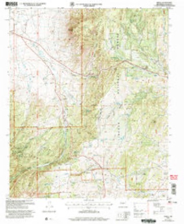
15 topographic sheets cover this place, the earliest surveyed in 1934 and the latest in 2004. It stands in the Capitan census division. It lies in ZIP code area 88341. It lies near Dry Gulch. The Survey maps it on the Nogal quadrangle.
On record in Nogal
Buildings and businesses the archive holds for this place. Each opens its own page, with the source record it came from.
On the National Register 4 records
- Aguayo Family Homesteadlisted 1995
- El Paso And Southwestern Railway Water Supply Systemlisted 1979
- Hopeful Lodelisted 1995
- Mesa Ranger Station Barn, Lincoln County, New Mexicolisted 2025
Topographic sheets covering this place
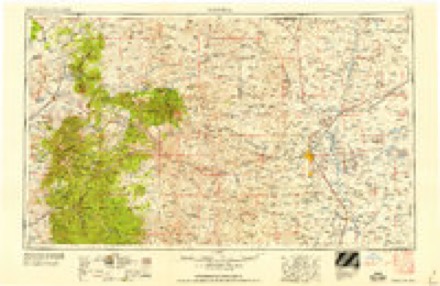
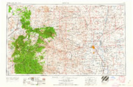
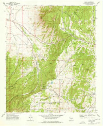
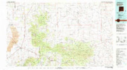
9 surveys from 15 printed sheetsMatched by testing this settlement's coordinate against the published boundary of every sheet in the United States Geological Survey's historical collection. Each opens the scanned sheet at the Survey.
- 1934 USGS Capitan quadrangle1:48000
- 1934 USGS Capitan quadrangle1:62500, 2 printings
- 1937 USGS Capitan quadrangle1:62500, 3 printings
- 1955 USGS Roswell quadrangle1:250000, 3 printings
- 1958 USGS Roswell quadrangle1:250000
- 1962 USGS Roswell quadrangle1:250000
- 1973 USGS Nogal quadrangle1:24000
- 1981 USGS Carrizozo quadrangle1:100000, 2 printings
- 2004 USGS Nogal quadrangle1:24000
Fires near this place
84 since 1993Regional context, not property-specific evidence. The federal wildfire occurrence database lists 84 fires within 5 miles of Nogal between 1993 and 2020, burning about 370 acres in total. 26 started naturally. 5 were recorded as arson. Distance is straight-line from the map coordinates, so a fire counted here may appear on a neighbouring settlement's page as well.
| Reported cause | Fires |
|---|---|
| Missing data/not specified/undetermined | 33 |
| Natural | 26 |
| Equipment and vehicle use | 8 |
| Debris and open burning | 6 |
| Arson/incendiarism | 5 |
| Fireworks | 2 |
| Smoking | 1 |
| Other causes | 1 |
| Recreation and ceremony | 1 |
| Power generation/transmission/distribution | 1 |
The most recent of them, most recent first, with the day each was reported and the service that recorded it.
| Date | Cause | Size | Reported by | Name on the report |
|---|---|---|---|---|
| 6 September 2005 | Natural | under an acre | Lincoln National Forest | WET |
| 3 September 2011 | Natural | 18 acres | New Mexico State Forestry Division | SNELL 2 |
| 21 September 2012 | Debris and open burning | under an acre | New Mexico State Forestry Division | 569 |
| 15 September 2000 | Missing data/not specified/undetermined | under an acre | New Mexico State Forestry Division | GUNRANGE |
| 10 September 2019 | Natural | under an acre | Lincoln National Forest | SPLINTER |
| 9 August 1993 | Missing data/not specified/undetermined | under an acre | New Mexico State Forestry Division | FERN |
| 31 August 2001 | Natural | 10 acres | New Mexico State Forestry Division | TORTOLITA |
| 26 August 2011 | Natural | 4.0 acres | New Mexico State Forestry Division | SNELL |
Settlements close enough to share some of these fires:
Mines and quarries near this place
10 of 18 shownRegional context, not property-specific evidence. The federal mineral resources record lists 18 workings within 5 miles of Nogal: 9 unknowns, 8 past producers, 1 occurrence. None of them still produces. What was taken out: Gold, Silver, Gold, Silver, Silver, Lead, Copper. Distance is straight-line from the map coordinates, so a quarry counted here may appear on a neighbouring settlement's page as well.
| Where | Site | Commodity | Status | Recorded |
|---|---|---|---|---|
| American Mine | Gold, Silver, Zinc, Lead | Past Producer | 1868, 1885, 1935 | |
| Baby Claims | Copper | Unknown | ||
| C and M No 1 & No 2 Claims | Silver, Gold | Unknown | ||
| Copper King No 1 Mine | Silver, Copper | Unknown | ||
| Helen Rae Mine | Gold, Silver, Lead, Copper, Zinc | Past Producer | 1885, 1937 | |
| Michigan | Lead | Unknown | ||
| No 1 Jerry | Stone | Unknown | ||
| Tortolita Canyon Vein | Uranium | Occurrence | Pyrite | |
| American | Gold, Lead, Zinc | Past Producer | ||
| Helen Rae | Gold, Lead, Zinc | Past Producer |
Storms near this place
9 since 1997Regional context, not property-specific evidence. The National Weather Service names Nogal in 9 storm reports between 1997 and 2021: 5 hail, 2 flash flood, 1 funnel cloud, 1 tornado. No death or injury is recorded in these reports. Each account below is quoted exactly as the forecast office filed it, from the NOAA Storm Events Database, and each date opens the federal record of that event.
| When | Event | Place named | Harm | What the report says |
|---|---|---|---|---|
| July 2012 | Flash Flood | Nogal | $25,000 | A partial road collapse occurred along Old Bonito Lake Rd due to flash flood undercuts and encroachments. This collapse was located about 2 miles west of the intersection with State Road 37. |
| August 2021 | Flash Flood | Nogal | - | Heavy rain near Nogal forced the closure of U.S. Highway 380 from mile marker 74 to mile marker 76. Per a trained spotter, the bridge in the area was unsafe to cross as road surfaces had been damaged from repeated rounds of heavy rain over the summer. |
| May 2019 | Tornado (EF0) | Nogal | - | A brief landspout tornado was reported over rural countryside northwest of Nogal. |
| June 2019 | Hail | Nogal | - | Nickel size hail reported near Bonito Lake. |
| June 2019 | Hail | Nogal | - | Quarter size hail was reported northeast of Bonito Lake. |
| June 2017 | Hail | Nogal | - | A second round of storms produced quarter size hail in Capitan. |
| May 2017 | Funnel Cloud | Nogal | - | Several observers around Carrizozo reported a well developed funnel cloud near Carrizo Mountain a couple miles northeast of town. |
| October 1998 | Hail | Nogal | - | no account filed |
| August 1997 | Hail | Nogal | - | no account filed |
Nearest settlements
The eight closest, with where each one stands in the county. Distances are straight-line, computed from the Geographic Names Information System coordinates.
| Map | Place | Distance | Sheets |
|---|---|---|---|
| Vera Cruz (historical) | 3.3 miles | 15 | |
| Coalora | 5.9 miles | 15 | |
| Capitan | 7.2 miles | 15 | |
| Bonito | 7.4 miles | 11 | |
| Angus | 8.1 miles | 11 | |
| Villa Madonna | 9.4 miles | 11 | |
| Sun Valley | 10.2 miles | 11 | |
| Sierra Vista | 10.3 miles | 11 |
Provenance
This settlement is recorded in the Geographic Names Information System as feature 923634. The sheet list is computed by point-in-boundary test against the United States Geological Survey's historical topographic inventory. Both are works of the United States government and carry no copyright under 17 U.S.C. 105.
Wildfire. Short, Karen C. 2022. Spatial wildfire occurrence data for the United States, 1992-2020 [FPA_FOD_20221014]. 6th Edition. Fort Collins, CO: Forest Service Research Data Archive. https://doi.org/10.2737/RDS-2013-0009.6 Collected with United States Government funding and usable without additional permissions or fees.
Mines and quarries. USGS Mineral Resources Data System (MRDS) https://mrdata.usgs.gov/mrds/ A work of the United States government, no copyright under 17 U.S.C. 105.
Storms. NOAA National Centers for Environmental Information, Storm Events Database https://www.ncei.noaa.gov/stormevents/ A work of the United States government, no copyright under 17 U.S.C. 105. Narratives are quoted verbatim from the National Weather Service report and are not edited or summarised.