 Block
Rio Rancho, New Mexico
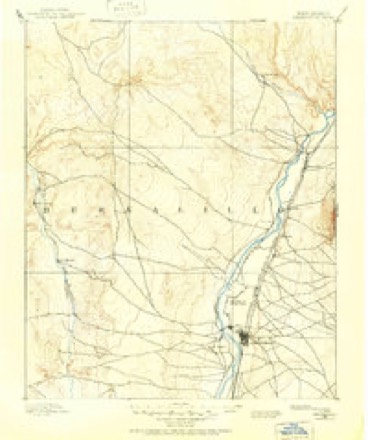
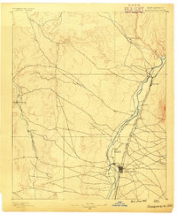
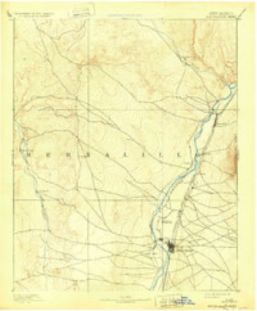
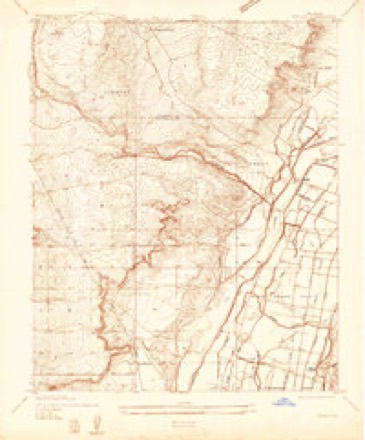
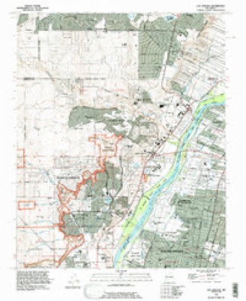
21 topographic sheets cover this place, the earliest surveyed in 1888 and the latest in 1990. It stands in the Rio Rancho census division. It lies in ZIP code area 87124. The Survey maps it on the Los Griegos quadrangle. 104,046 people lived here at the 2020 count. It stands 5,282 feet above sea level.
Research this city
Population over time
5 figuresRio Rancho grew from 9,985 to 104,046 between 1980 and 2020. These are the recorded population figures Wikidata holds for this place, reached through the Geographic Names Information System number this page is keyed on rather than by name, so they belong to this place and not to another of the same name. Most are census counts, but not all are: an early figure may be a founding or settlement estimate, and an estimate published within five years of a census is left out. The change column is computed, and is left blank where more than 20 years separate a figure from the one before it, because a gap that long is not a change between two counts.
| Year | People | Change |
|---|---|---|
| 1980 | 9,985 | |
| 1990 | 32,512 | +22,527 (+226%) |
| 2000 | 51,765 | +19,253 (+59%) |
| 2010 | 87,521 | +35,756 (+69%) |
| 2020 | 104,046 | +16,525 (+19%) |
Topographic sheets covering this place
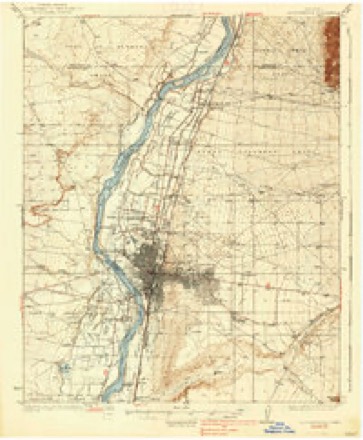
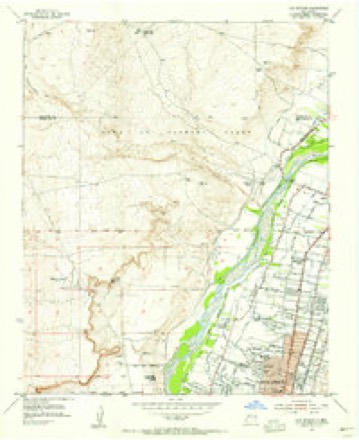
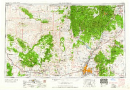
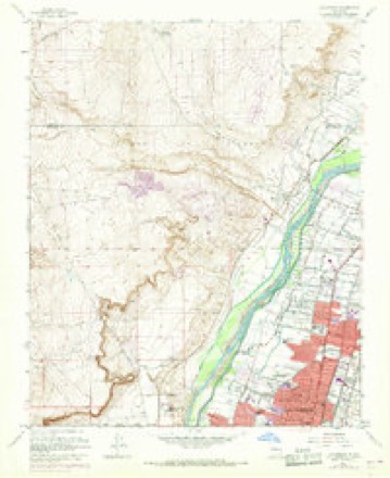
13 surveys from 21 printed sheetsMatched by testing this settlement's coordinate against the published boundary of every sheet in the United States Geological Survey's historical collection. Each opens the scanned sheet at the Survey.
- 1888 USGS Bernalillo quadrangle1:125000
- 1889 USGS Albuquerque quadrangle1:125000
- 1893 USGS Albuquerque quadrangle1:125000, 5 printings
- 1934 USGS Griegos quadrangle1:24000
- 1938 USGS Albuquerque quadrangle1:62500
- 1954 USGS Los Griegos quadrangle1:24000
- 1958 USGS Albuquerque quadrangle1:250000
- 1960 USGS Los Griegos quadrangle1:24000, 3 printings
- 1962 USGS Albuquerque quadrangle1:250000
- 1963 USGS Albuquerque quadrangle1:250000, 3 printings
- 1978 USGS Albuquerque quadrangle1:100000
- 1983 USGS Albuquerque quadrangle1:250000
- 1990 USGS Los Griegos quadrangle1:24000
Fires near this place
89 since 1992Regional context, not property-specific evidence. The federal wildfire occurrence database lists 89 fires within 5 miles of Rio Rancho between 1992 and 2019, burning about 307 acres in total. 4 started naturally. 5 were recorded as arson. Distance is straight-line from the map coordinates, so a fire counted here may appear on a neighbouring settlement's page as well.
| Reported cause | Fires |
|---|---|
| Missing data/not specified/undetermined | 58 |
| Debris and open burning | 14 |
| Arson/incendiarism | 5 |
| Natural | 4 |
| Power generation/transmission/distribution | 2 |
| Fireworks | 2 |
| Equipment and vehicle use | 2 |
| Misuse of fire by a minor | 1 |
| Railroad operations and maintenance | 1 |
The most recent of them, most recent first, with the day each was reported and the service that recorded it.
| Date | Cause | Size | Reported by | Name on the report |
|---|---|---|---|---|
| 29 September 2004 | Missing data/not specified/undetermined | under an acre | Southern Pueblos Agency | SHADY |
| 8 August 2005 | Arson/incendiarism | under an acre | Southern Pueblos Agency | CASINO |
| 6 August 2011 | Arson/incendiarism | under an acre | Southern Pueblos Agency | TURKEY |
| 15 August 1993 | Missing data/not specified/undetermined | under an acre | New Mexico State Forestry Division | DENNIS |
| 1 August 1993 | Missing data/not specified/undetermined | 3.0 acres | New Mexico State Forestry Division | EAGLE |
| 5 July 1993 | Missing data/not specified/undetermined | 2.0 acres | New Mexico State Forestry Division | ERINE |
| 5 July 1993 | Missing data/not specified/undetermined | 7.5 acres | New Mexico State Forestry Division | LDL |
| 4 July 1995 | Missing data/not specified/undetermined | 2.0 acres | New Mexico State Forestry Division | PAZ |
Settlements close enough to share some of these fires:
Mines and quarries near this place
10 of 16 shownRegional context, not property-specific evidence. The federal mineral resources record lists 16 workings within 5 miles of Rio Rancho: 7 past producers, 5 unknowns, 4 producers. 4 still produce. What was taken out: Sand and Gravel, Construction, Pumice, Stone, Clay. Distance is straight-line from the map coordinates, so a quarry counted here may appear on a neighbouring settlement's page as well.
| Where | Site | Commodity | Status | Recorded |
|---|---|---|---|---|
| Materials Pit #57-45-F | Clay | Unknown | ||
| Wylie Pit | Stone | Producer | ||
| 9700 North Second Plant | Pumice | Unknown | ||
| Esquire Claims 5-9 Plant | Pumice | Producer | ||
| Utility Block Co. Plant | Pumice | Producer | ||
| A.F.Cole Pit | Sand and Gravel, Construction | Past Producer | ||
| Gravel Pit | Sand and Gravel, Construction | Past Producer | ||
| Gravel Pit | Sand and Gravel, Construction | Past Producer | ||
| Gravel Pit | Sand and Gravel, Construction | Past Producer | ||
| Gravel Pit | Sand and Gravel, Construction | Past Producer |
Storms near this place
51 since 1997Regional context, not property-specific evidence. The National Weather Service names Rio Rancho in 51 storm reports between 1997 and 2025: 24 hail, 14 flash flood, 7 thunderstorm wind, 3 lightning. The reports record 2 deaths and 7 injuries. Each account below is quoted exactly as the forecast office filed it, from the NOAA Storm Events Database, and each date opens the federal record of that event.
| When | Event | Place named | Harm | What the report says |
|---|---|---|---|---|
| July 2009 | Lightning | Rio Rancho | 1 killed, 6 hurt | Jarrod Truesdale, a 26 year old man, was killed by a lightning strike in the parking lot of Rio Rancho High School before a fireworks show. His wife, 26, was also struck and sustained serious injuries. Their 4 kids, ranging from 18 months to 7 years in age, as well as the wife's 21 year old sister also sustained injuries. The family was headed for their vehicle to seek shelter from the storm. |
| July 2025 | Flash Flood | Rio Rancho | 1 killed | Heavy rain exceeding 2 inches caused thick dirt and debris runoffs over roadways across western Rio Rancho which caused at least one road closure and debris removal efforts. During debris removal efforts around sunrise, road crews located a deceased male near the intersection of Northern Blvd. and Calor Rd. NW. |
| July 1997 | Lightning | Rio Rancho | 1 hurt | A Rio Rancho man, age unknown, was struck and injured by lightning. |
| July 1999 | Flash Flood | Rio Rancho | $1,000,000 | no account filed |
| July 2006 | Flash Flood | Rio Rancho | $700,000 | no account filed |
| August 1999 | Flash Flood | Rio Rancho | $600,000 | Heavy road and arroyo erosion developed during heavy rain across northwest Rio Rancho and south central Sandoval County. Soaking rains the previous 3-4 days had set the stage for fast and heavy runoff conditions. No injuries were reported. Damage was confined to washout of large culverts and severe erosion of dirt roads and driveway entrances in the housing developments on the northwest edge of Rio Rancho. Heavy erosion severely damaged the Rio Rancho Land Fill with 2 large tractors buried and lost in large mud flows. |
| October 2004 | Hail | Rio Rancho | $500,000 | no account filed |
| August 2018 | Flash Flood | Rio Rancho | $100,000 | Several roads closed west of Unser due to arroyos flowing out of bank. Graders were needed to clear roads and repair damage. Several folks posted videos to social media that showed water flowing through yards. Damage amounts are a very rough estimate for repairs to roadways and landscaping. |
| August 2001 | Lightning | Rio Rancho | $100,000 | A lightning strike fried an entire pumping system on the Rio Rancho city water reservoir. The 7.5 million gallon reservoir dropped to less than 600 thousand gallons before the pump system was restored. |
| September 2017 | Flash Flood | Rio Rancho | $75,000 | Memorable Moments day care was closed due to flood damages for four days. Lots of mud, sand, and debris were covering nearby roadways. |
| September 2017 | Flash Flood | Rio Rancho | $50,000 | Four homes flooded along Arlene Road in Rio Rancho from nearby Lisbon Channel arroyo. |
| September 2013 | Flash Flood | Rio Rancho | $30,000 | Northern Boulevard and 10th washed out by nearby arroyo. Southern washed over with significant amounts of water as well. Damage to roadway occurred near Hondo Avenue. Unser and 10th also washed out due to high water from arroyo. 12 families evacuated homes due to high water in nearby arroyo. Heavy flows in these arroyos led to flooding downstream into the Harvey Jones Canal in Corrales where the Harvey Jones Bridge was overtopped. |
| August 2019 | Flash Flood | Rio Rancho | $20,000 | Streets turned into rivers near 6th St NE and 5th Ave NE. Damage amounts are estimated for roadways. |
| July 2014 | Flash Flood | Rio Rancho | $20,000 | Local media reported a vehicle that was washed off the road due to heavy rains in Rio Rancho on Northern Blvd. near 10th street. The young driver attempted to pass through fast-moving water during the early morning hours of the 15th and the vehicle was swept off the road and buried up to its wheels in mud. The road also sustained damage due to the undercutting of the water. Large chunks of asphalt were chipped off. Rain began in the area just before 10pm and did not stop until close to 7 am the following morning. Mostly light stratiform rain continued over the area with embedded heavy cells. KABX storm total precipitation estimated ranged from 2.5 to 3.2 inches. |
| August 2010 | Flash Flood | Rio Rancho | $20,000 | Nearly 2 inches of rain fell across portions of northwest Rio Rancho. The intersection of Northern and Idalia was closed due to flash flooding. Along Unser, though the road was not closed, it was impassible to several cars which got stuck in the high waters. A sewer line was also damaged, which allowed sewage to flow into the Montoya's Arroyo. |
| July 2022 | Flash Flood | Rio Rancho | $15,000 | Heavy rain in the Rio Rancho and Vista Hills areas caused flooding. At a home in Rio Rancho, standing water was reported two inches deep in someone's backyard. In Vista Hills, dirt roads were flooded and arroyos were reported to be running. Damages are estimated. |
| June 2016 | Dust Devil | Rio Rancho | $5,000 | Dust devil destroyed fence with four inch post supports. |
| August 1997 | Flash Flood | Rio Rancho | $5,000 | Several cinder block fences collapsed under the pressure of storm water runoff in the Vista Hills neighbourhood in Rio Rancho. |
| October 2000 | Hail | Rio Rancho | $5,000 | no account filed |
| July 2020 | Thunderstorm Wind | Rio Rancho | $1,500 | Damaging wind gusts were observed with a severe thunderstorm that tracked south through the Rio Rancho and Albuquerque areas. The severe wind gusts downed a large tree limb at Unser and 5th Street in Rio Rancho. Damage amounts are a rough estimate. |
| September 2024 | Thunderstorm Wind | Rio Rancho | - | Large 20 ft yucca shrub toppled in high winds near Inca Road NE & 10th Street NE in Rio Rancho. |
| August 2022 | Flash Flood | Rio Rancho | - | A member of the public reported that the intersection of Spring Drive SE and Black Hills Road SE near Cabezon was underwater from fast flowing flood waters. No damages were reported. |
| May 2021 | Hail | Rio Rancho | - | Multiple observers near Rio Rancho reported 1 inch hail from a severe thunderstorm moving eastward through the area. |
| July 2020 | Thunderstorm Wind | Rio Rancho | - | A severe storm with strong outflow winds uprooted a small tree at a residence near Unser and Northern in Rio Rancho. |
| August 2020 | Thunderstorm Wind | Rio Rancho | - | A 60 mph wind gust was estimated at the intersection of Unser Boulevard and Abrazo Road from a thunderstorm outflow boundary. |
| June 2019 | Hail | Rio Rancho | - | Nickel size hail fell briefly in Rio Rancho. |
| August 2019 | Hail | Rio Rancho | - | Penny size hail at Unser and Southern Boulevards. |
| August 2019 | Hail | Rio Rancho | - | Dime to quarter size hail near Golf Course Road and Cabezon Boulevard. |
| August 2019 | Hail | Rio Rancho | - | Pea to penny size hail at Wilpett Road and King Boulevard. |
| July 2018 | Hail | Rio Rancho | - | Hail up to the size of quarters at King and Unser. |
| July 2018 | Hail | Rio Rancho | - | Hail up to the size of quarters at Idalia and Unser. |
| July 2018 | Hail | Rio Rancho | - | Hail up to the size of nickels at Northern and Rockaway. |
| July 2018 | Hail | Rio Rancho | - | Hail up to the size of quarters in Rio Rancho. |
| May 2018 | Hail | Rio Rancho | - | Penny size hail near Southern Boulevard and Unser Boulevard. |
| September 2017 | Hail | Rio Rancho | - | Hail up to the size of pennies in Rio Rancho. |
| September 2017 | Hail | Rio Rancho | - | Hail up to the size of pennies near Northern and Rockaway. |
| May 2017 | Hail | Rio Rancho | - | Penny size hail in Rio Rancho. |
| July 2016 | Hail | Rio Rancho | - | Nickel size hail at Northern and Unser. |
| August 2006 | Heavy Rain | Rio Rancho | - | Heavy rain of one inch in 35 minutes wiped out the road repairs along Rio Oso Road in eastern Rio Rancho leaving 6 to 10 foot gullies and again exposing water and electric lines buried in the road which runs in an old arroyo channel. |
| May 2008 | Thunderstorm Wind | Rio Rancho | - | no account filed |
| October 2008 | Hail | Rio Rancho | - | no account filed |
| October 2008 | Hail | Rio Rancho | - | no account filed |
| June 2006 | Heavy Rain | Rio Rancho | - | no account filed |
| June 2006 | Hail | Rio Rancho | - | no account filed |
| July 2006 | Hail | Rio Rancho | - | no account filed |
| July 2006 | Hail | Rio Rancho | - | no account filed |
| June 2002 | Thunderstorm Wind | Rio Rancho | - | no account filed |
| June 2002 | Hail | Rio Rancho | - | no account filed |
| July 2001 | Thunderstorm Wind | Rio Rancho | - | no account filed |
| September 1999 | Hail | Rio Rancho | - | no account filed |
| October 1998 | Hail | Rio Rancho | - | no account filed |
Nearest settlements
The eight closest, with where each one stands in the county. Distances are straight-line, computed from the Geographic Names Information System coordinates.
| Map | Place | Distance | Sheets |
|---|---|---|---|
| Rio Rancho Estates | 0.4 miles | 21 | |
| Corrales | 3.1 miles | 22 | |
| Pueblo of Sandia Village | 5.1 miles | 20 | |
| Sandia Pueblo | 5.1 miles | 20 | |
| Bernalillo | 7.6 miles | 20 | |
| Las Cocinitas (historical) | 7.6 miles | 20 | |
| El Chapparal | 9.5 miles | 20 | |
| Desert Mountain | 9.7 miles | 20 |
Elsewhere
Matched on this settlement's Geographic Names Information System number rather than its name, so it cannot be a different place of the same name in another state.
| Wikipedia article on Rio Rancho | An encyclopaedic summary. Its text is share-alike, so it is linked here rather than copied. |
| Wikidata item Q33555 | The structured record the population and elevation above come from. Public domain (CC0). |
Provenance
This settlement is recorded in the Geographic Names Information System as feature 1699884. The sheet list is computed by point-in-boundary test against the United States Geological Survey's historical topographic inventory. Both are works of the United States government and carry no copyright under 17 U.S.C. 105.
Wildfire. Short, Karen C. 2022. Spatial wildfire occurrence data for the United States, 1992-2020 [FPA_FOD_20221014]. 6th Edition. Fort Collins, CO: Forest Service Research Data Archive. https://doi.org/10.2737/RDS-2013-0009.6 Collected with United States Government funding and usable without additional permissions or fees.
Mines and quarries. USGS Mineral Resources Data System (MRDS) https://mrdata.usgs.gov/mrds/ A work of the United States government, no copyright under 17 U.S.C. 105.
Storms. NOAA National Centers for Environmental Information, Storm Events Database https://www.ncei.noaa.gov/stormevents/ A work of the United States government, no copyright under 17 U.S.C. 105. Narratives are quoted verbatim from the National Weather Service report and are not edited or summarised.