 Block
From the record
12 National Register listings published here.
Sources: the National Register database, National Park Service
221 topographic sheets cover 87 settlements here, and 12 properties are on the National Register of Historic Places.
12 National Register listings published here.
Sources: the National Register database, National Park Service
Taken for the Office of War Information and the Farm Security Administration, who photographed the country between 1935 and 1944. Works of United States government photographers, with no known restriction on use. Each opens its catalogue record.
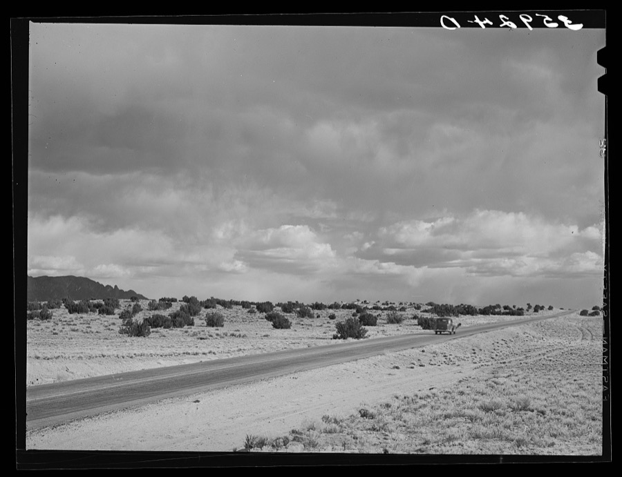
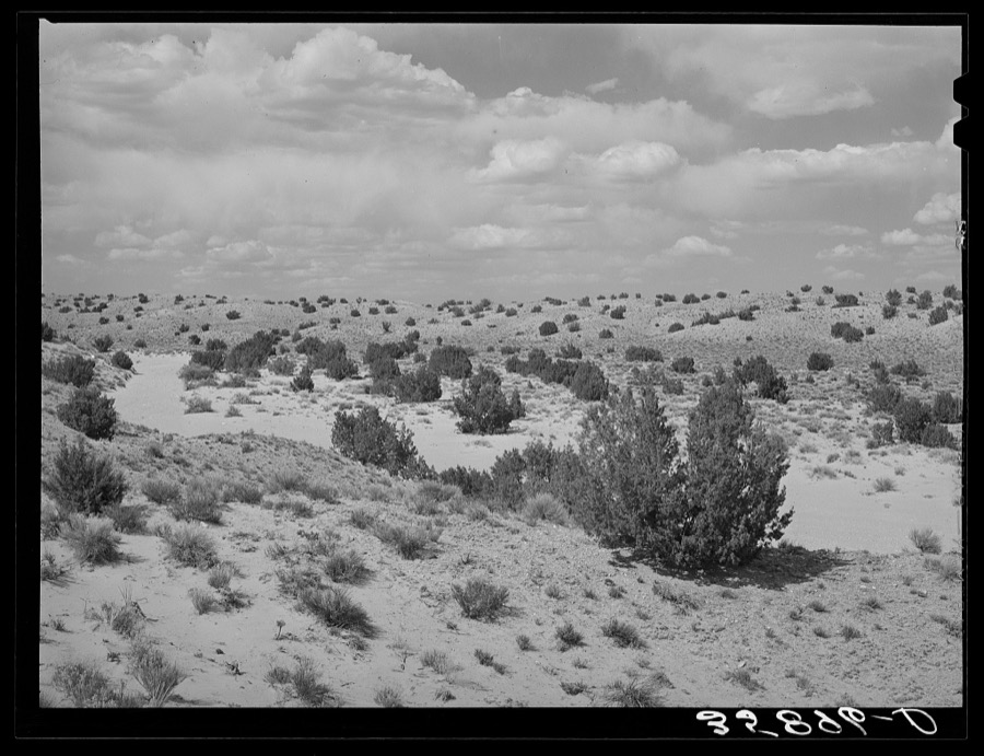
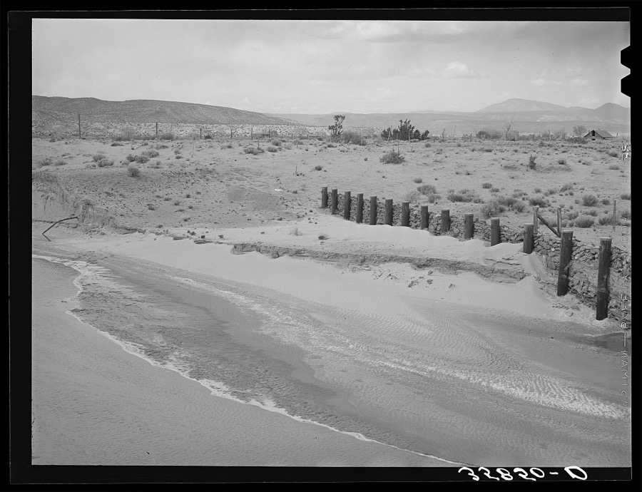
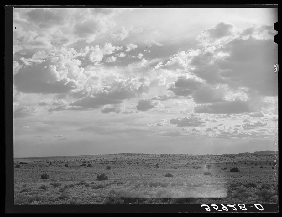
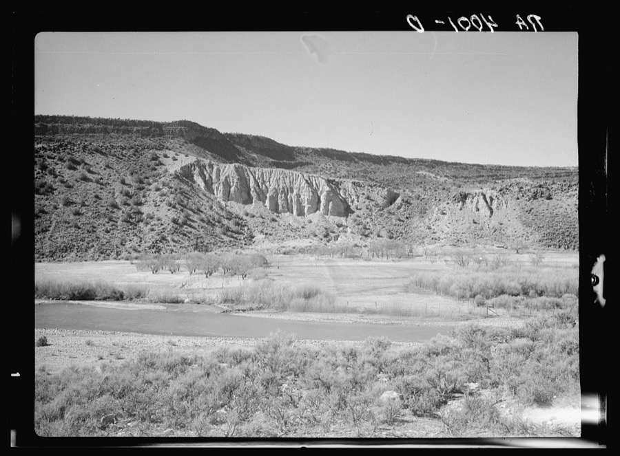
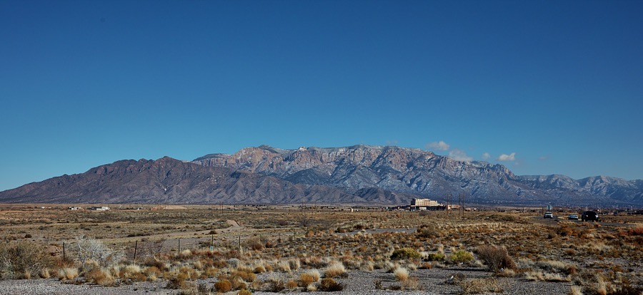
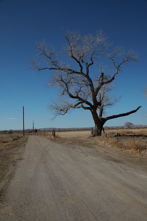
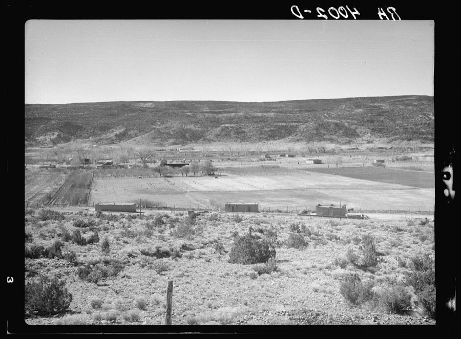
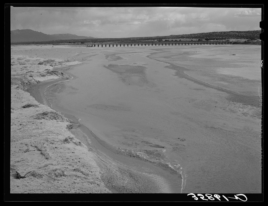
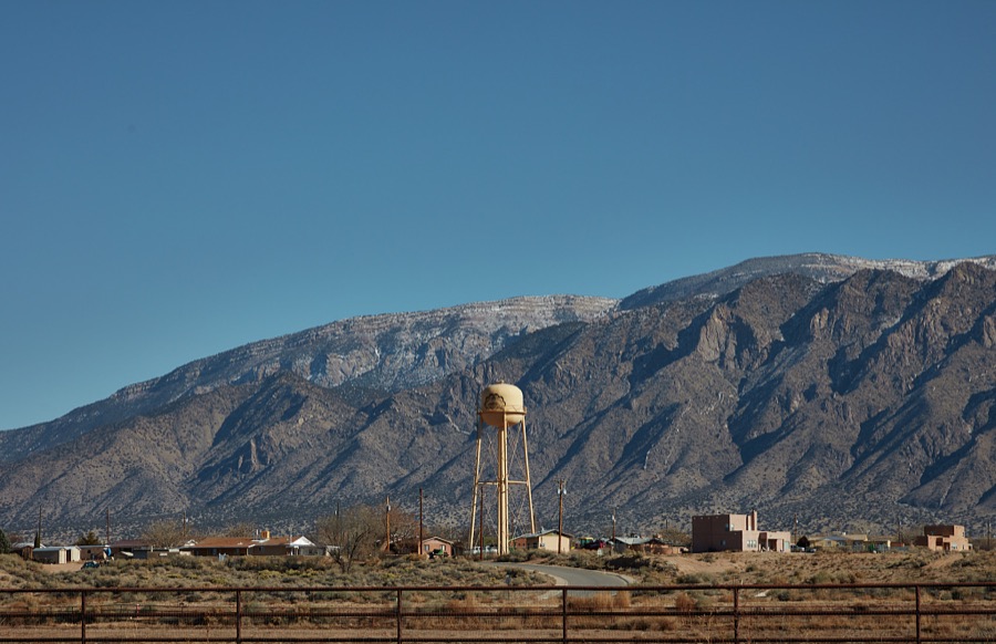
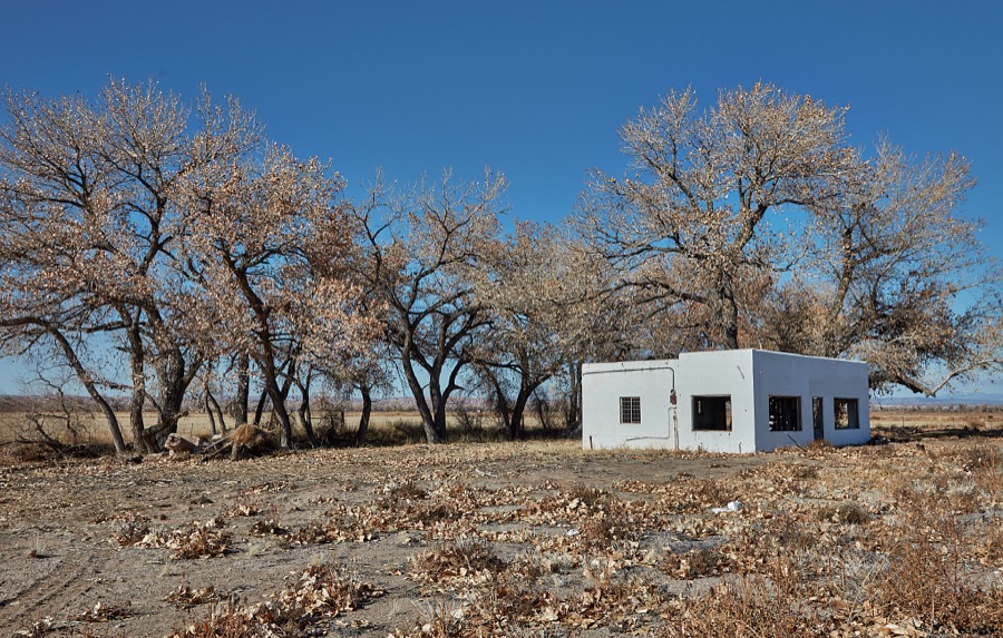
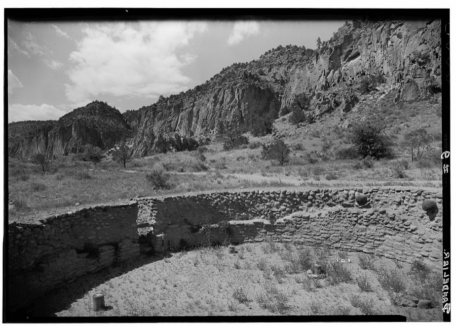
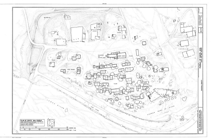
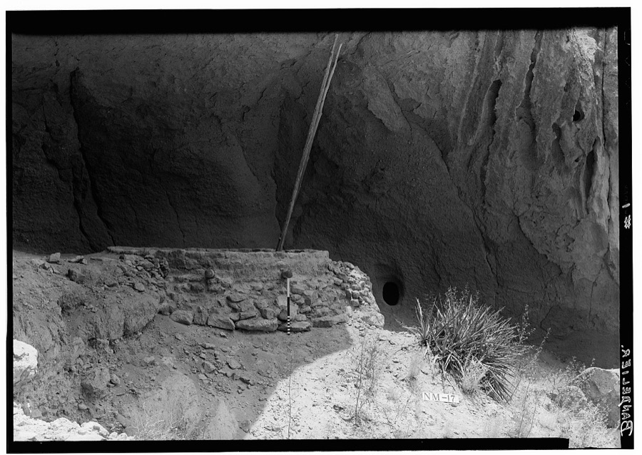
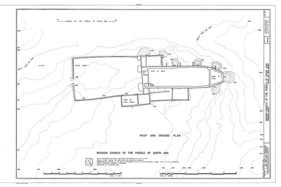
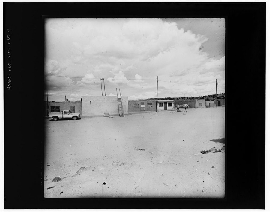
Every property in this county listed on the National Register of Historic Places, with the year it was listed and the federal nomination document.
| Photograph | Property | Type | Listed | Reference |
|---|---|---|---|---|
| Abenicio Salazar Historic District | district | 1980 | 80002569 | |
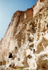 | Bandelier National Monument | district | 1966 | 66000042 |
 | Cochiti Pueblo | district | 1974 | 74001205 |
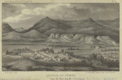 | Jemez Pueblo | district | 1977 | 77000926 |
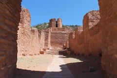 | Jemez State Monument | site | 1973 | 73001147 |
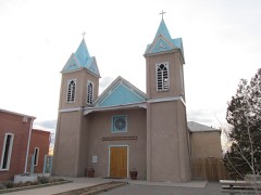 | Our Lady of Sorrows Church | building | 1977 | 77000927 |
| Pueblo of Santo Domingo (Kiua) | district | 1973 | 73001145 | |
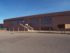 | Roosevelt School | building | 1996 | 96000266 |
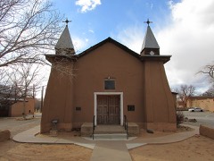 | San Ysidro Church | building | 1980 | 80002570 |
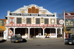 | Santo Domingo Indian Trading Post | building | 1998 | 97001592 |
| Tamaya | district | 1974 | 74001204 | |
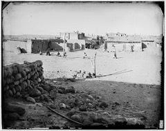 | Zia Pueblo | district | 1973 | 73001146 |
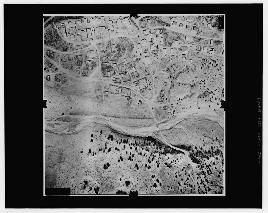
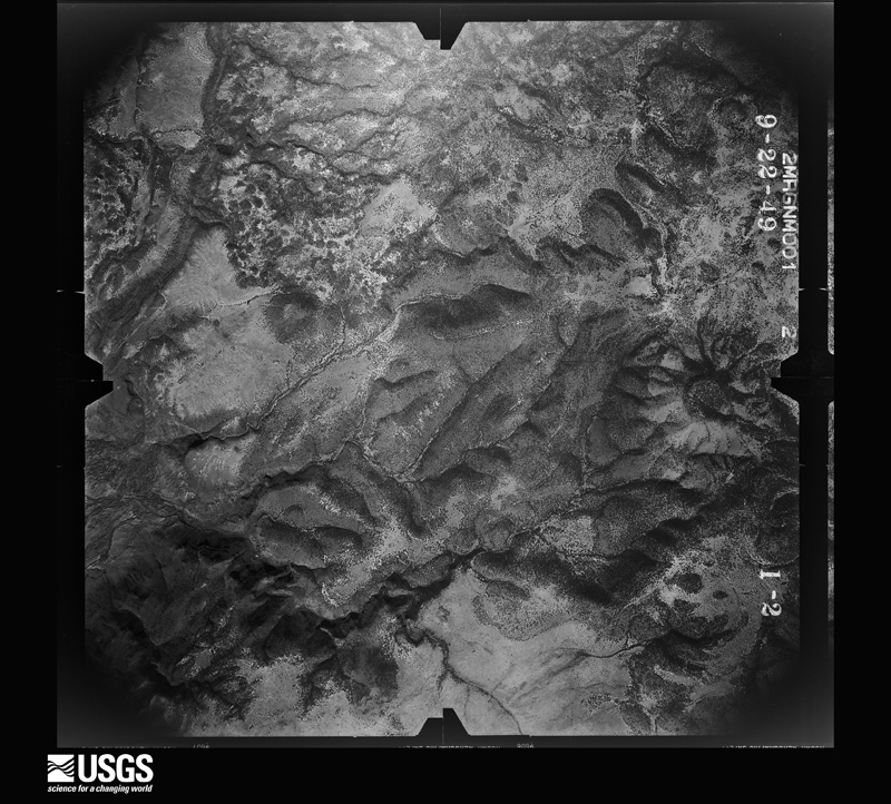
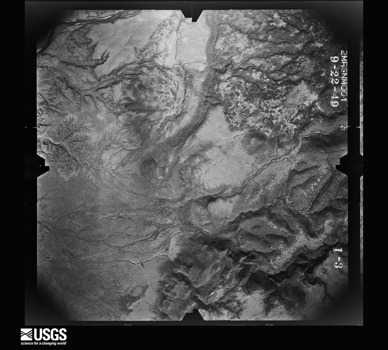
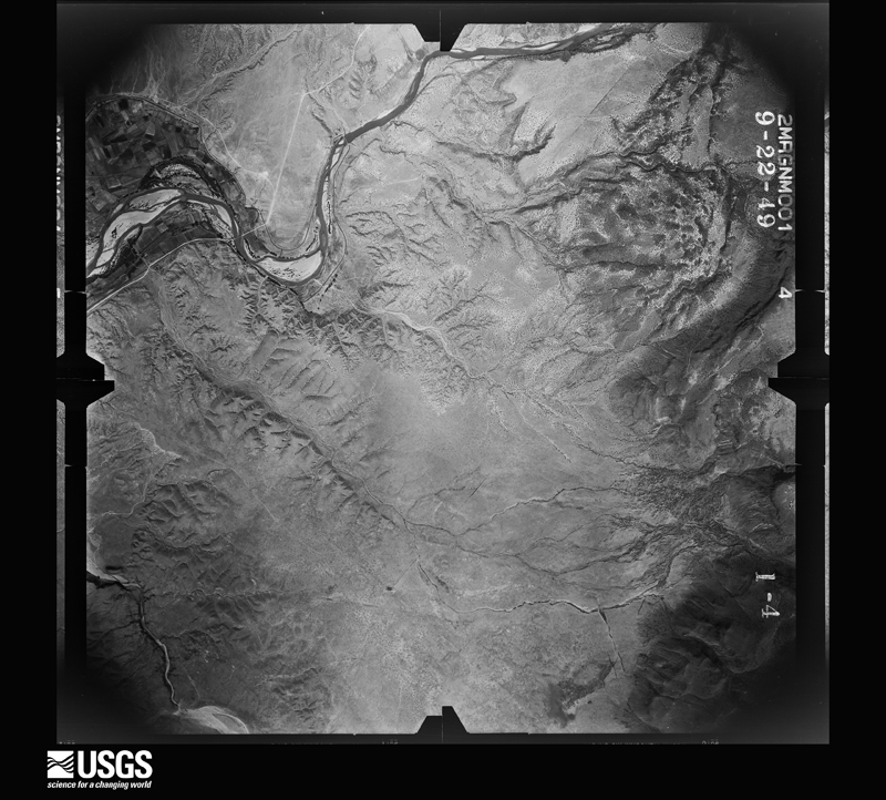
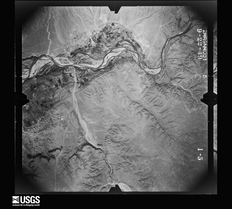
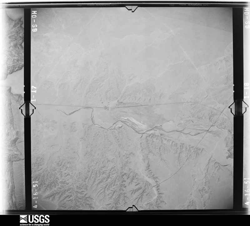
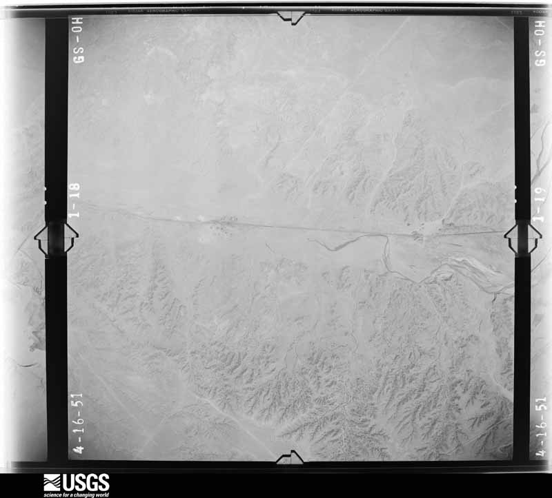
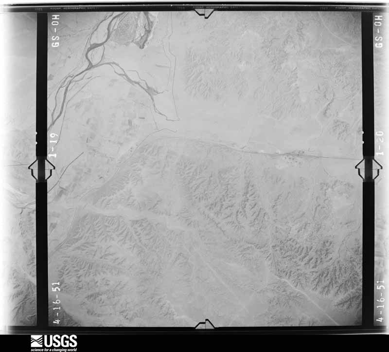
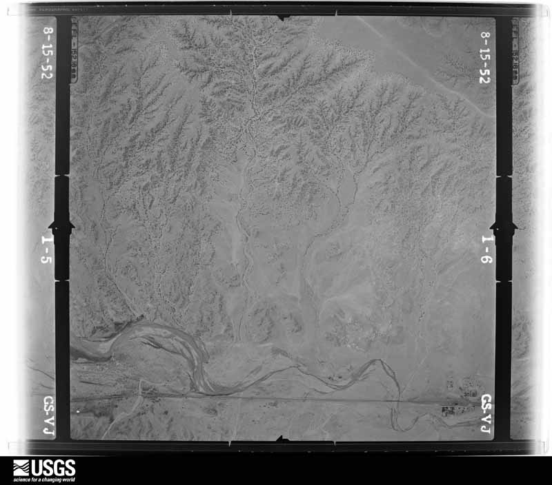
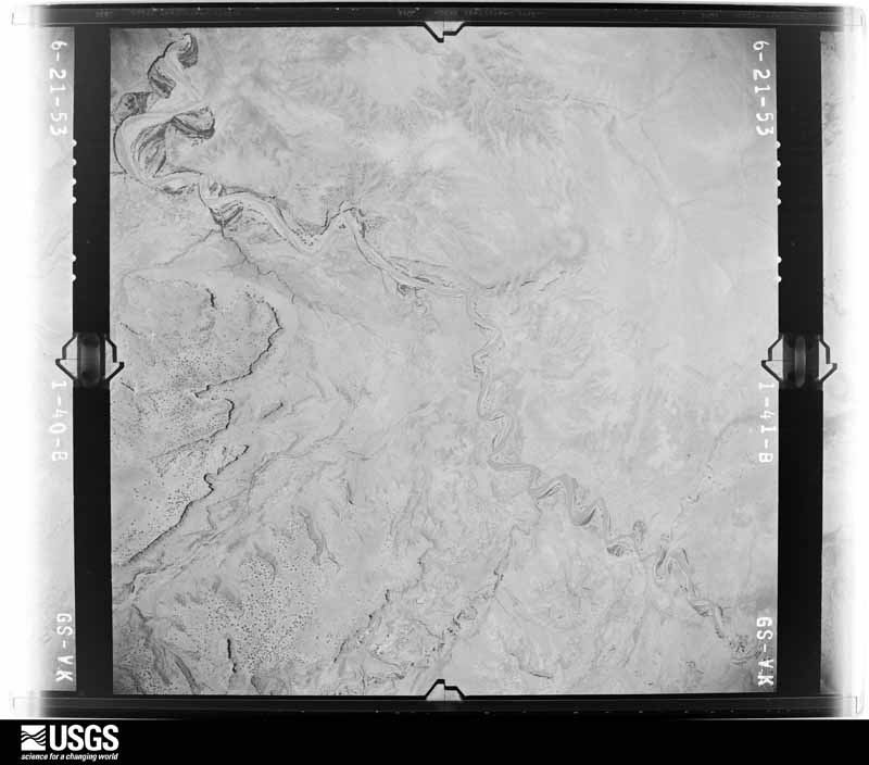
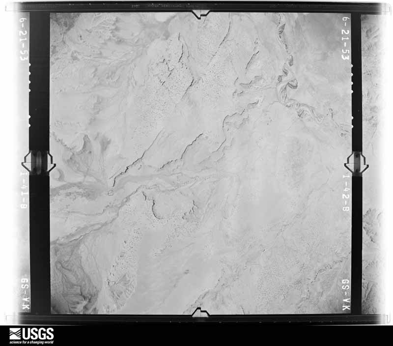
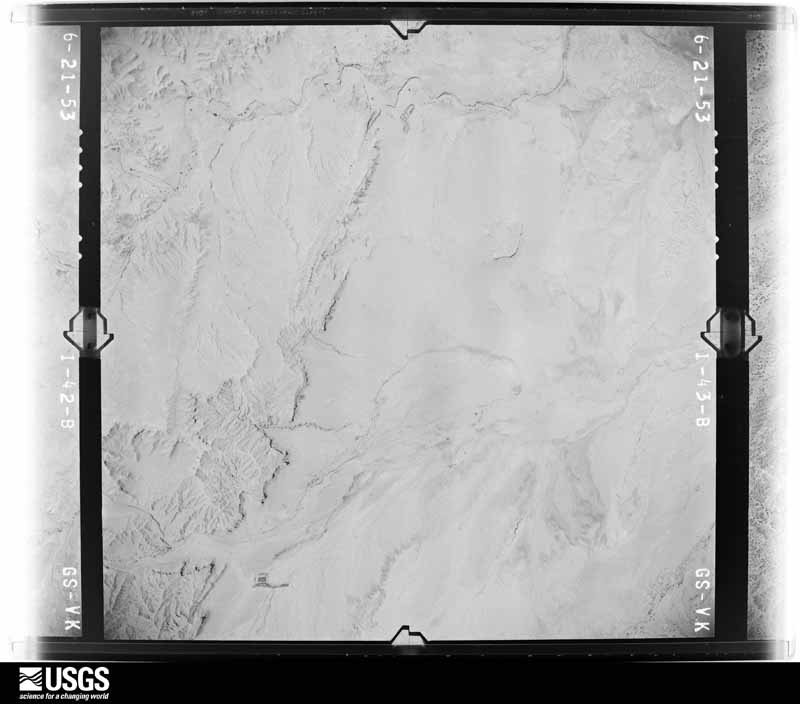
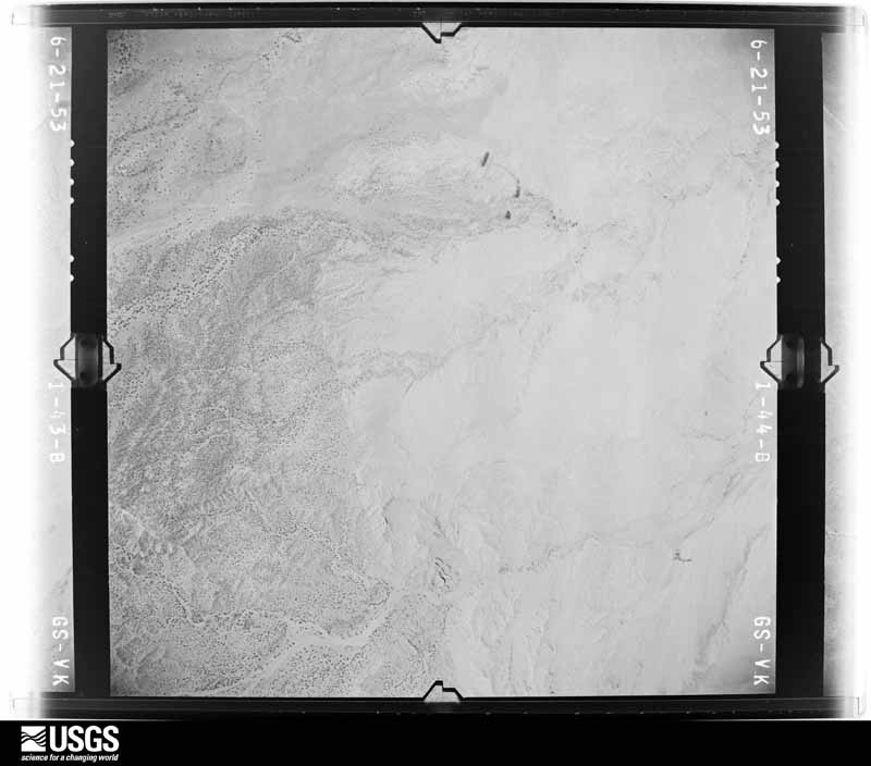
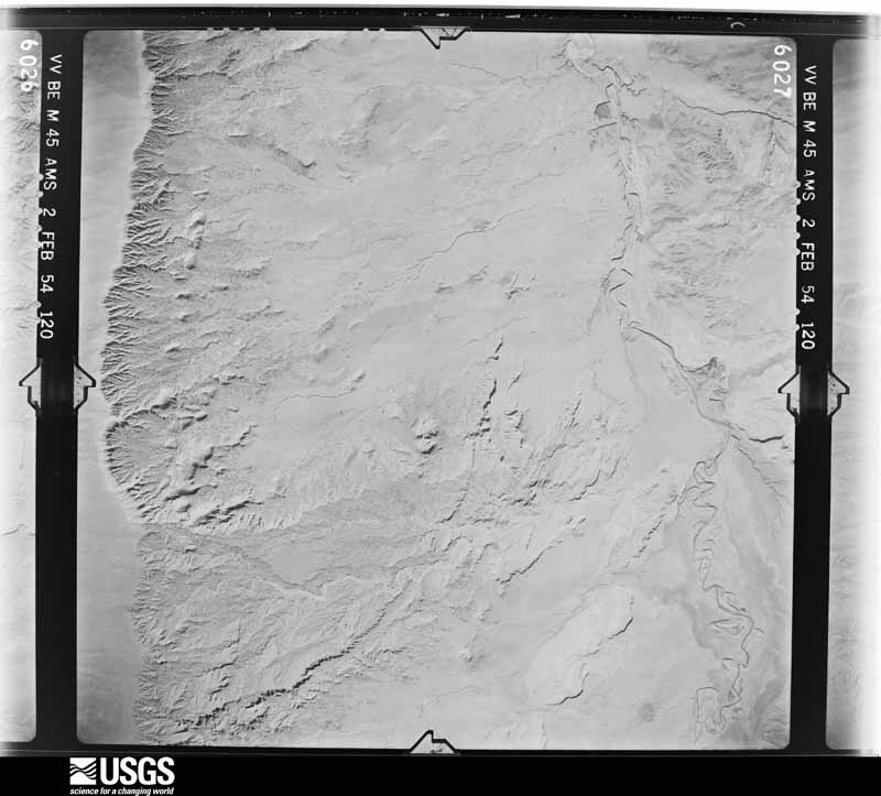
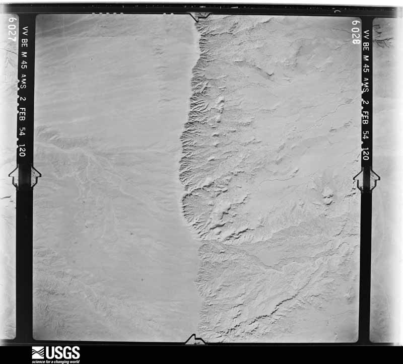
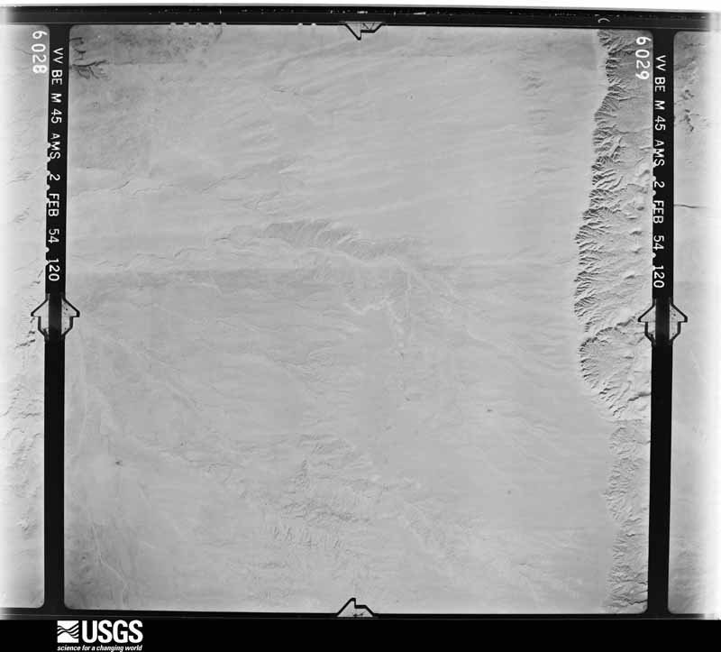
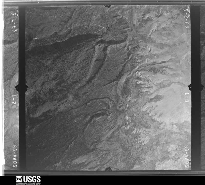
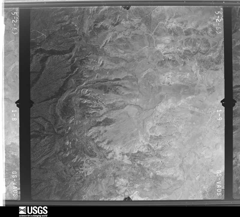
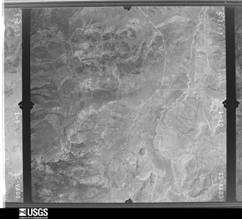
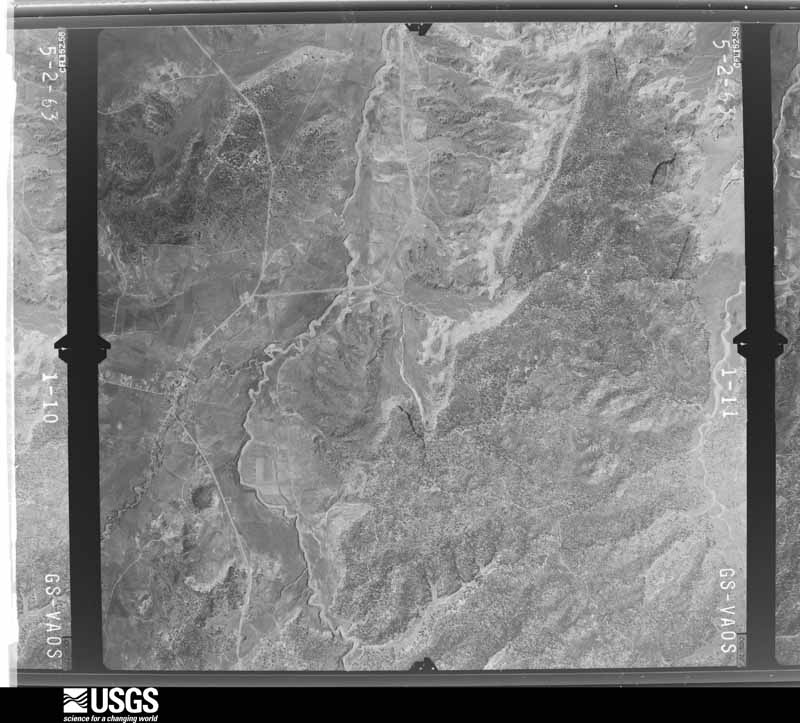
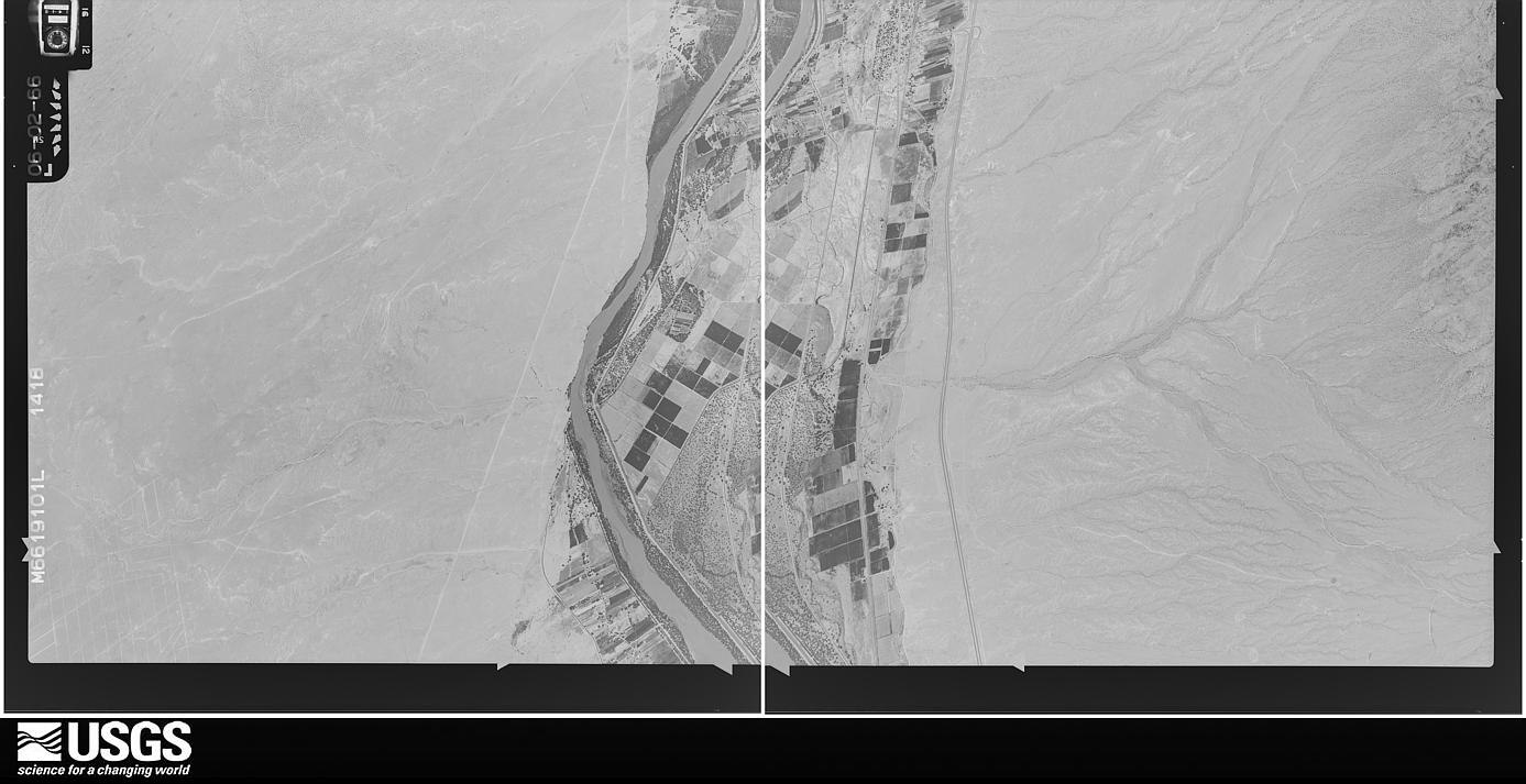
Flown by the U.S. Geological Survey between 1937 and 1989, the Aerial Photo Single Frames collection is the definitive mid-century view of the land: fields, roads and rivers as the camera saw them. The Survey holds 8,693 frames inside the rectangle that bounds this county; the 48 frames below were taken over the county itself, chosen across the decades of flights (at most four a year from that rectangle), so one flight cannot crowd out the rest. The full set is free to browse and download at EarthExplorer under the dataset Aerial Photo Single Frames.
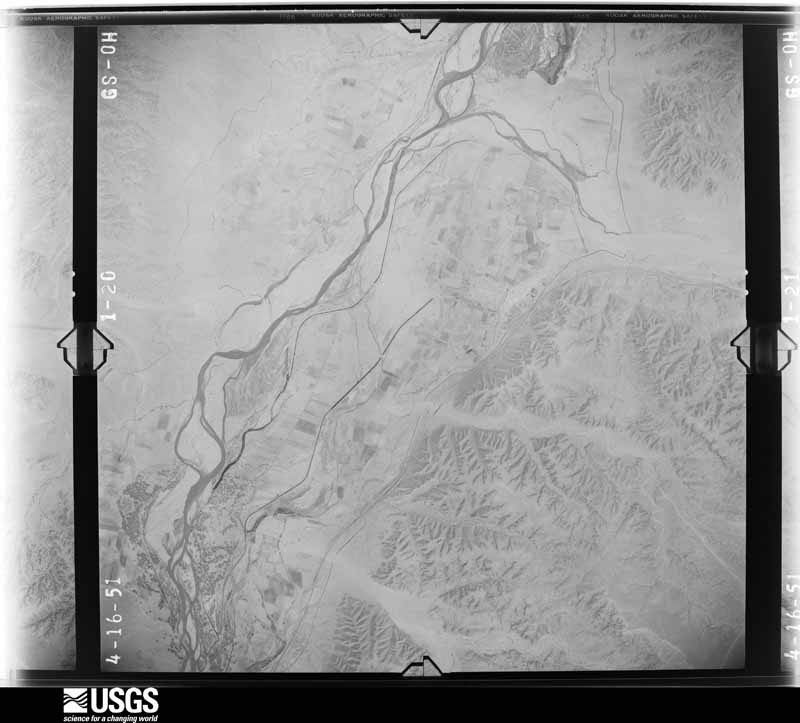
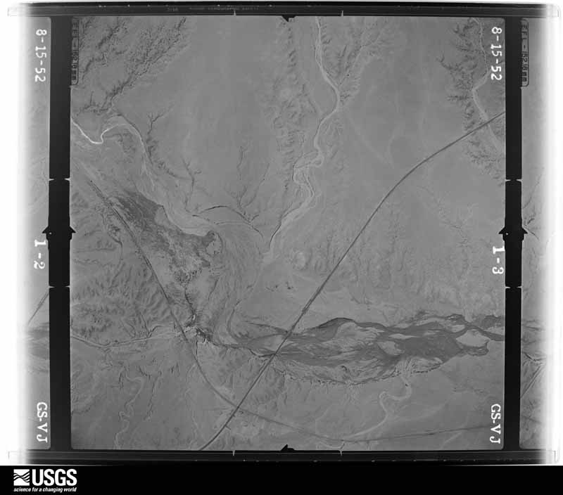
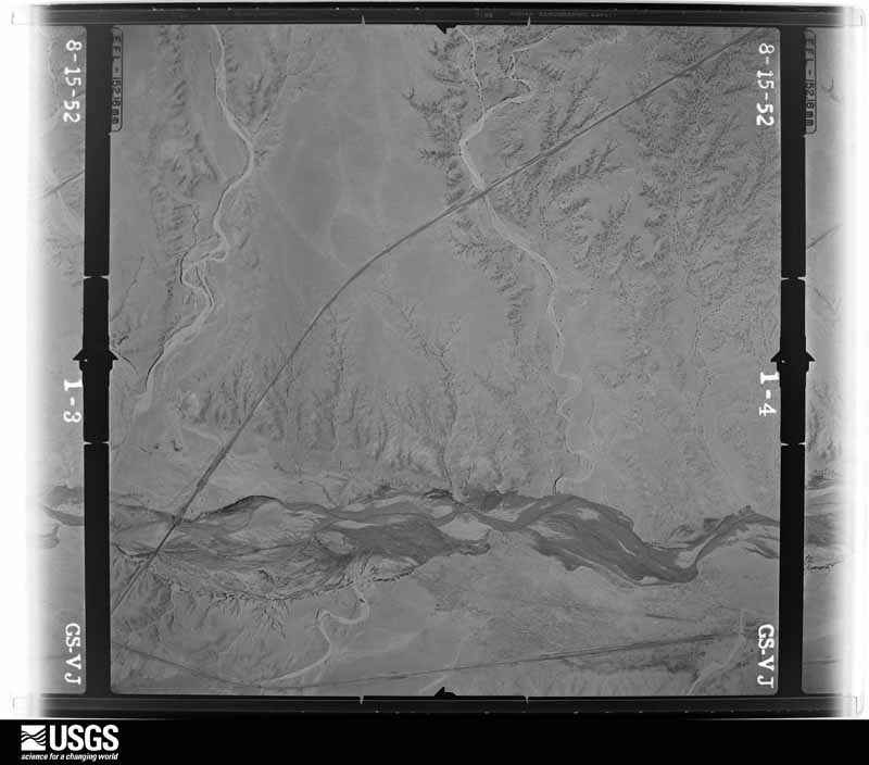
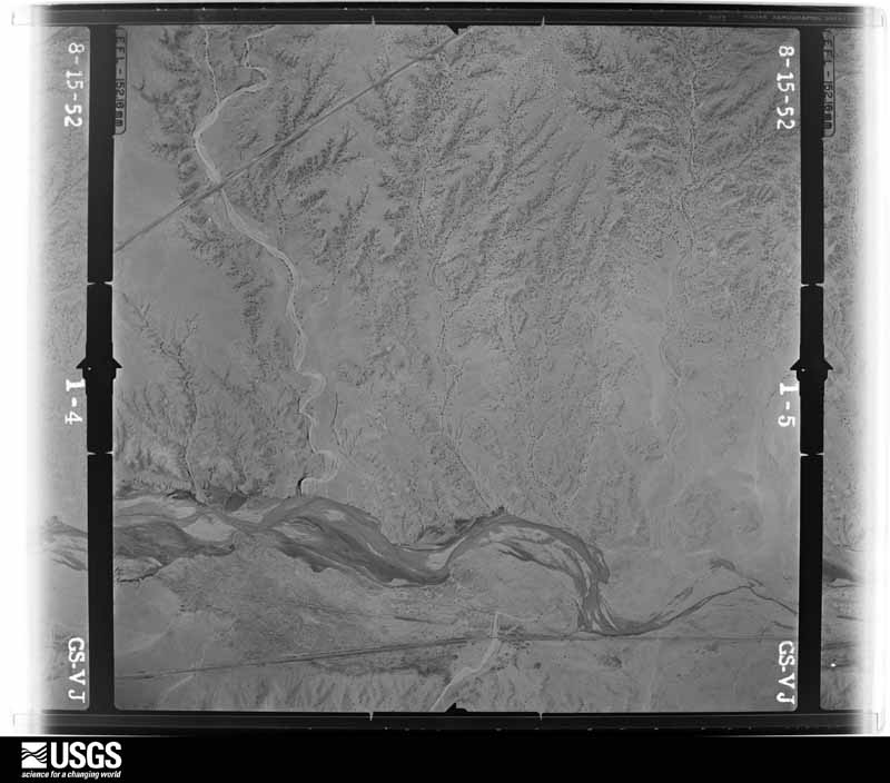
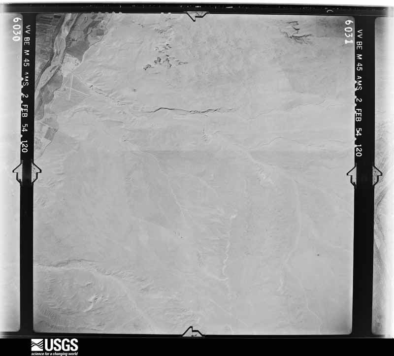
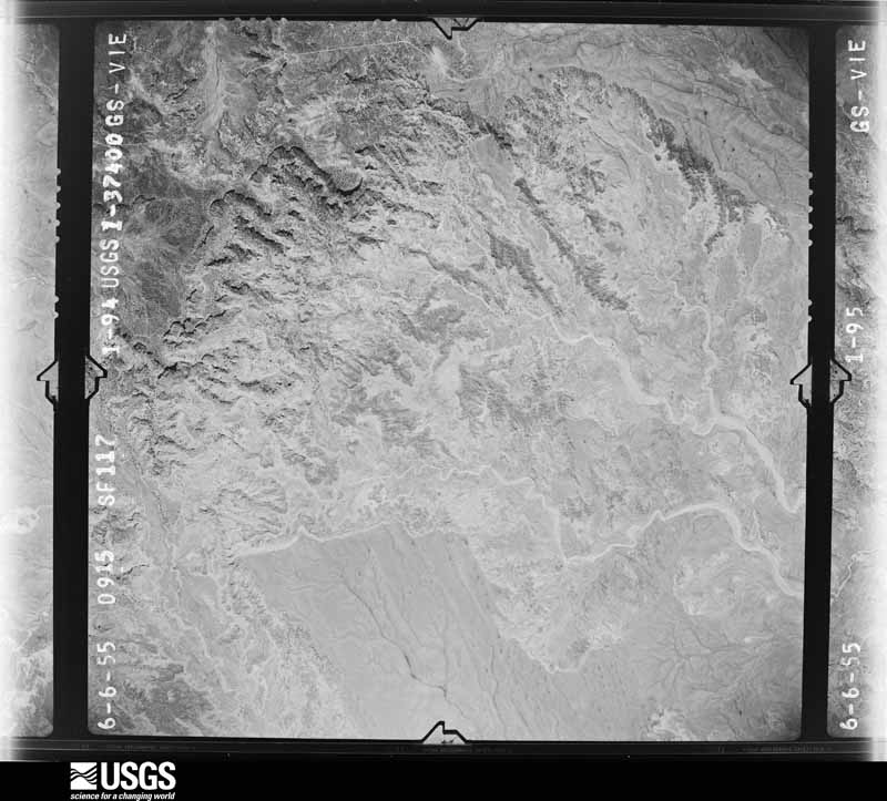
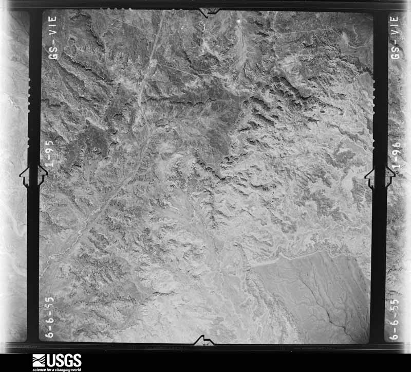
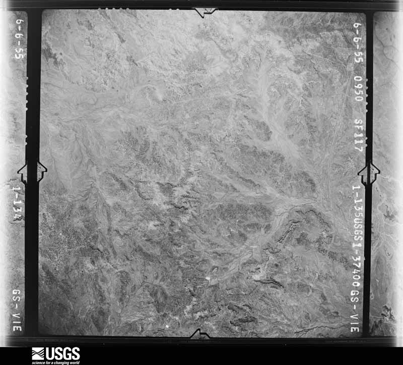
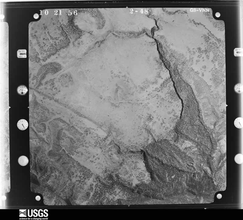
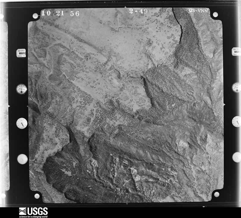
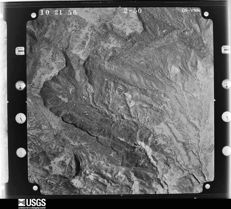
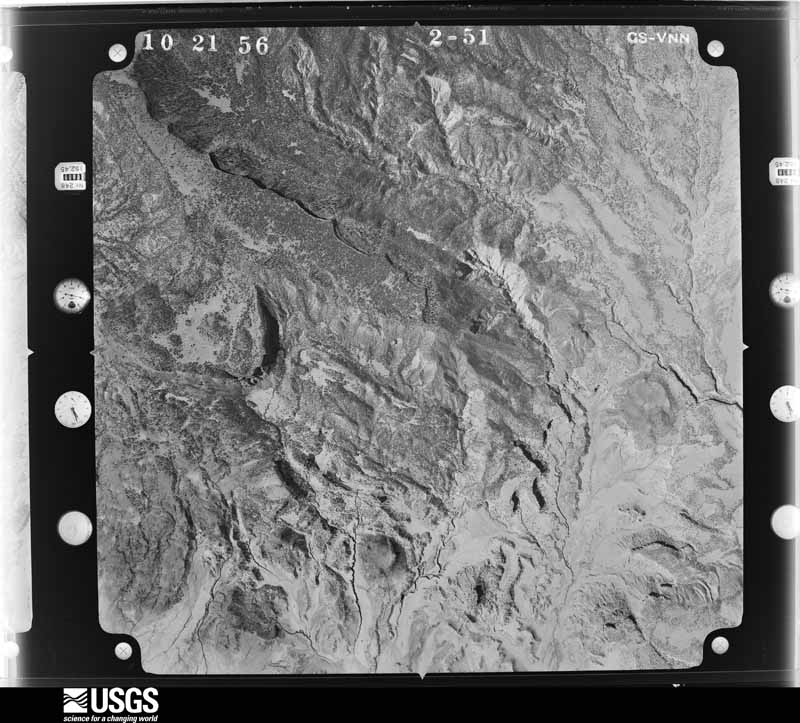
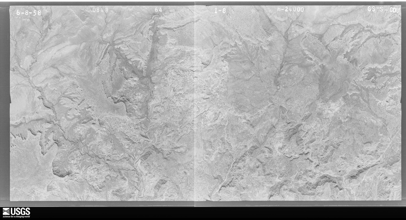
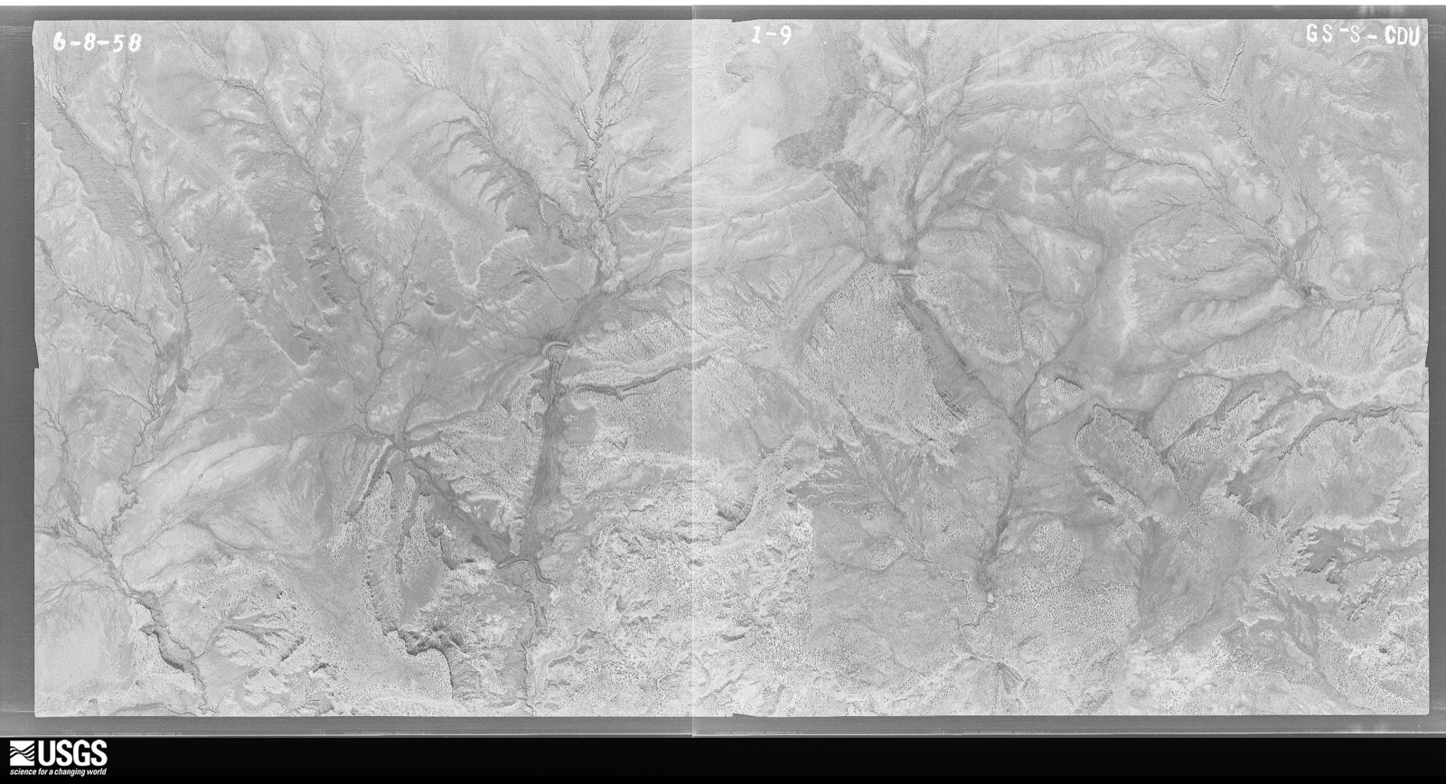
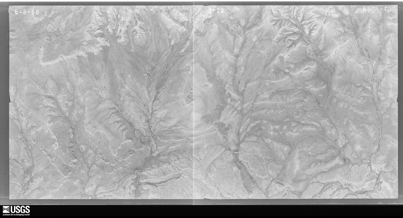
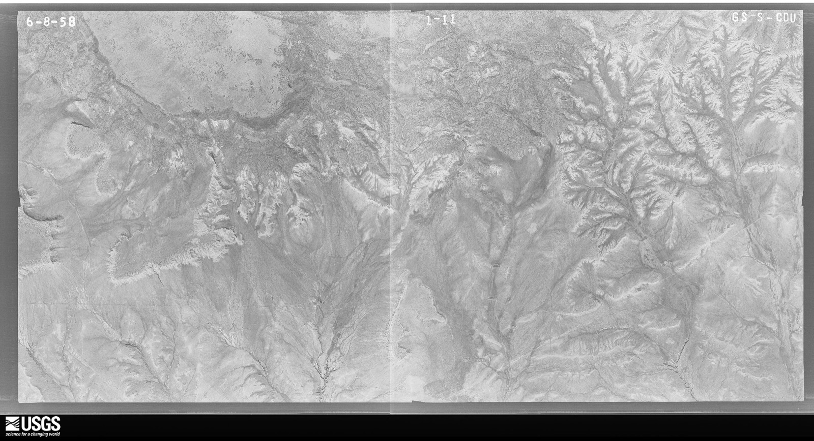
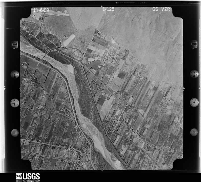
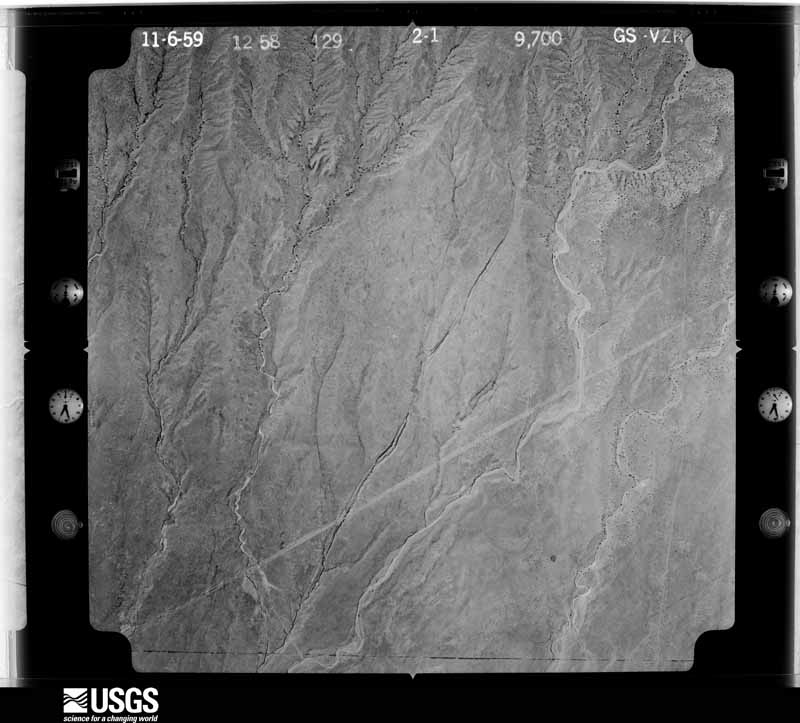
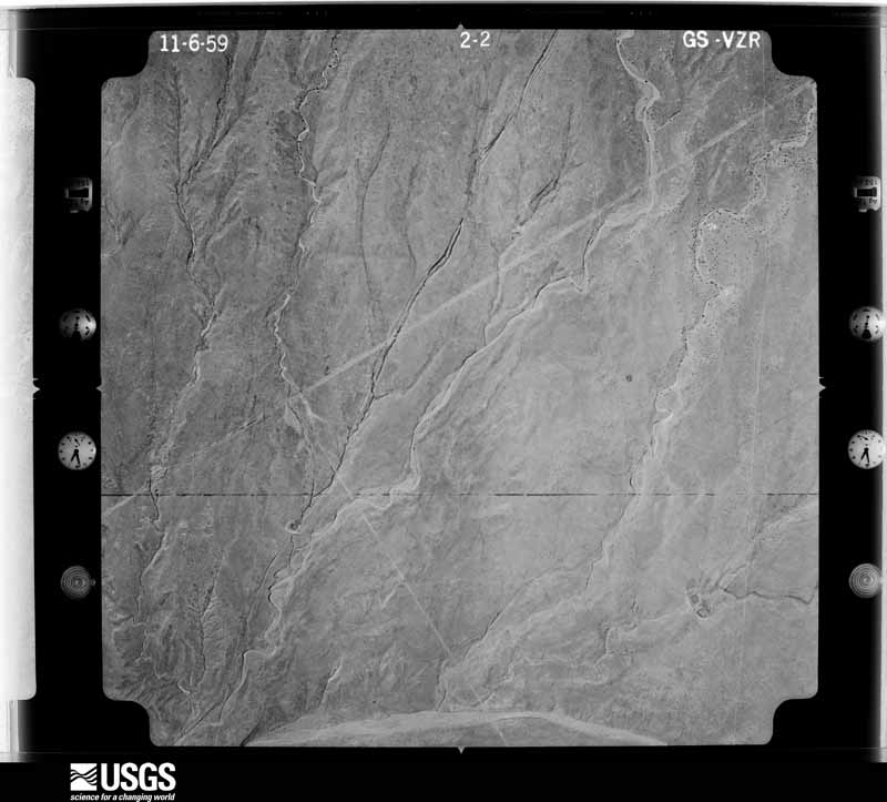
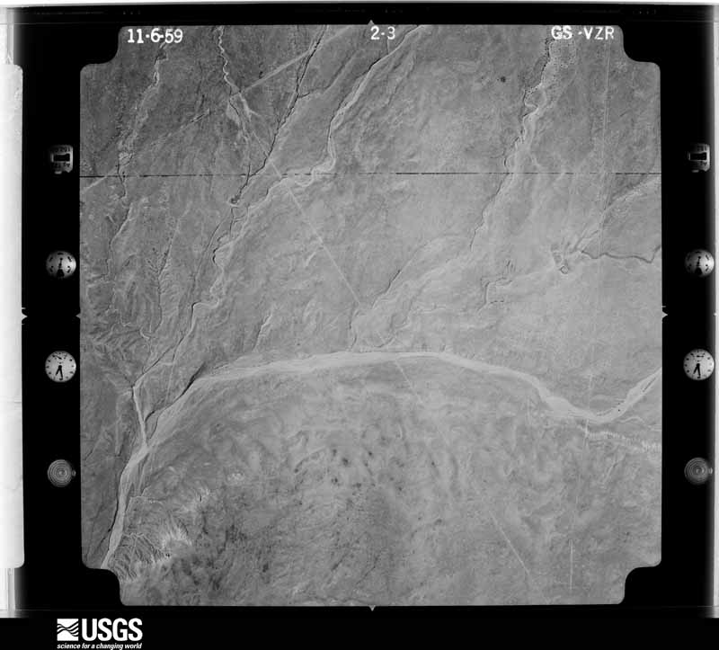
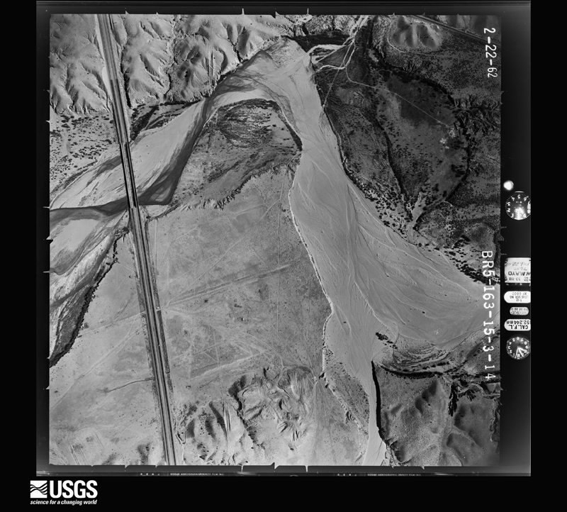
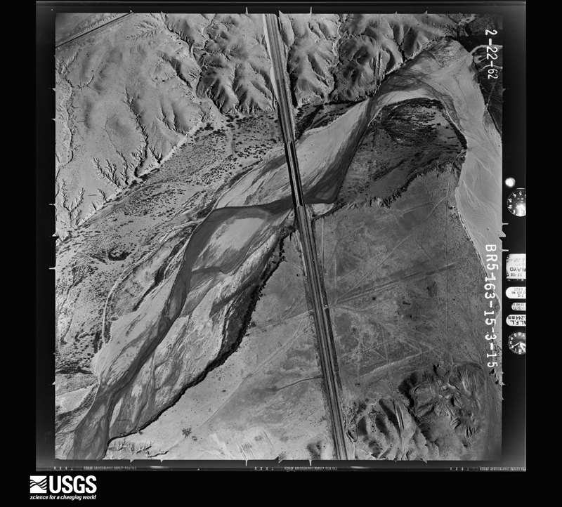
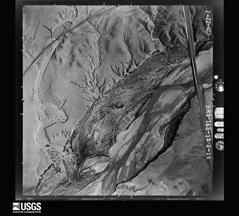
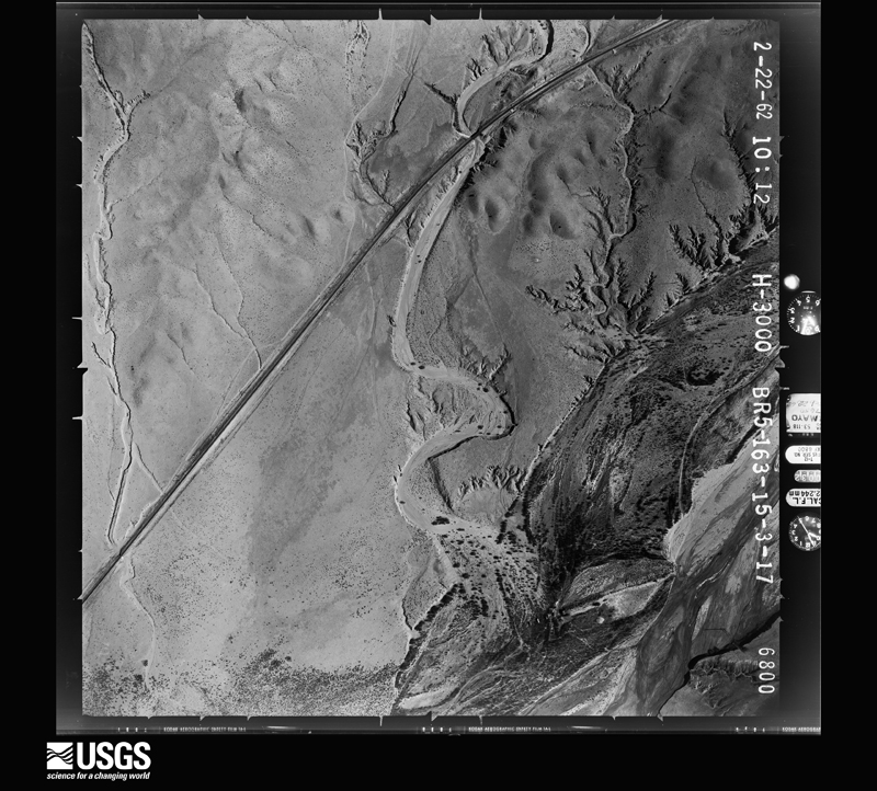
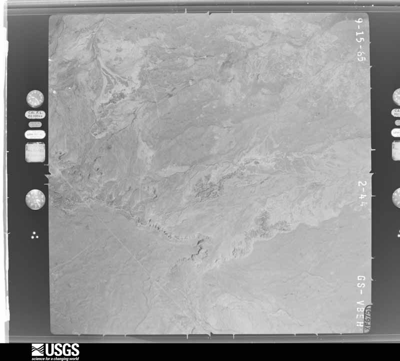
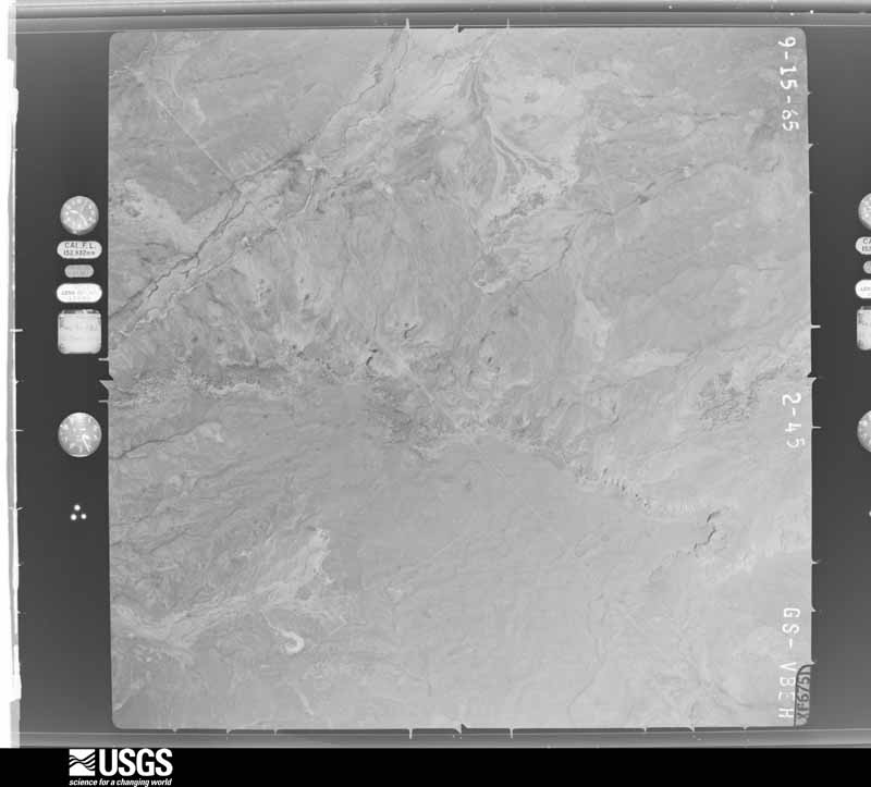
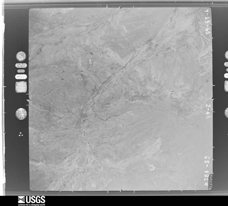
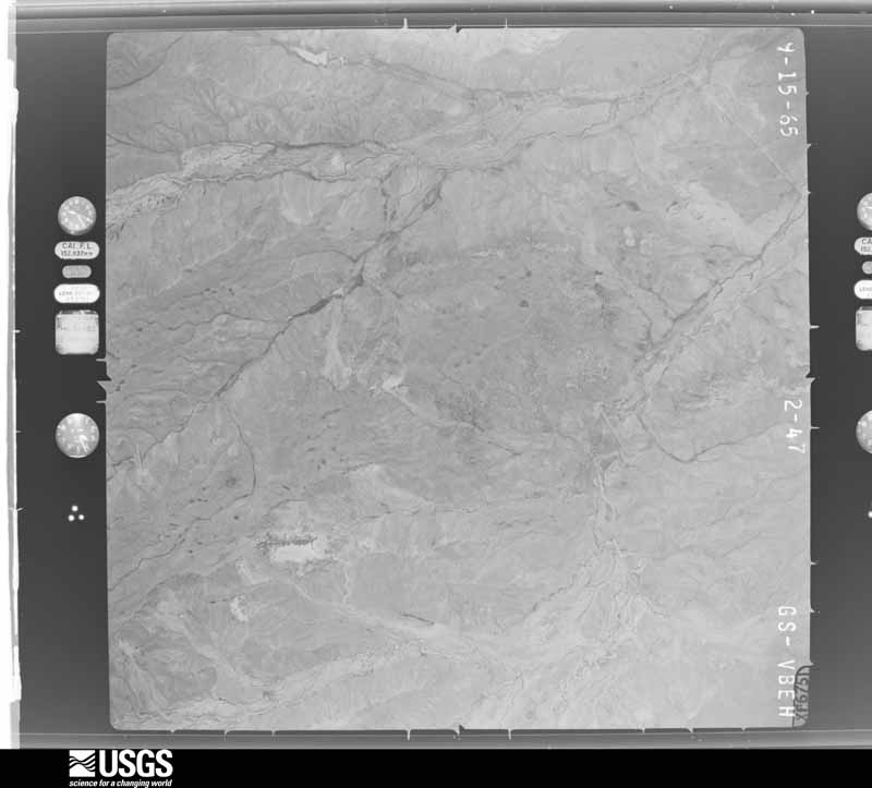
The thermometers that kept this county's weather, and the gages that measured the flow of its streams, as the federal records hold them. The extremes below are measured values from those records, not estimates.
Who lived here in 1950, one enumeration district at a time, as the Census Bureau described each district. Each row opens its official National Archives result, with Population Schedules and ED Maps available there.
Every wildfire the federal occurrence database records inside this county: 3,014 of them, burning about 287,950 acres. 1,400 started naturally and 60 were recorded as arson. Each settlement page carries the fires within five miles of it.
| Reported cause | Fires |
|---|---|
| Natural | 1400 |
| Recreation and ceremony | 513 |
| Debris and open burning | 491 |
| Missing data/not specified/undetermined | 380 |
| Arson/incendiarism | 60 |
| Equipment and vehicle use | 59 |
| Smoking | 44 |
| Power generation/transmission/distribution | 36 |
| Misuse of fire by a minor | 12 |
| Fireworks | 12 |
| Other causes | 4 |
| Railroad operations and maintenance | 2 |
| Firearms and explosives use | 1 |
The five largest, by the area the report gives. None of them was recorded as arson.
| Date | Cause | Size | Reported by | Name on the report |
|---|---|---|---|---|
| 26 June 2011 | Power generation/transmission/distribution | 156,593 acres | New Mexico State Forestry Division | LAS CONCHAS |
| 5 May 2000 | Debris and open burning | 47,650 acres | Bandelier National Monument | CERRO GRANDE |
| 31 May 2013 | Power generation/transmission/distribution | 23,938 acres | Santa Fe National Forest | THOMPSON RIDGE |
| 25 April 1996 | Recreation and ceremony | 16,575 acres | Santa Fe National Forest | DOME |
| 13 August 2014 | Natural | 4,303 acres | Santa Fe National Forest | PINO |
| 20 July 2018 | Natural | 4,150 acres | Santa Fe National Forest | VENADO |
| 26 August 2002 | Recreation and ceremony | 4,026 acres | Santa Fe National Forest | LAKES |
| 9 October 2010 | Natural | 1,706 acres | Santa Fe National Forest | VIRGIN CANYON |
Every settlement page carries the fires within five miles of it - see the settlement index below.
The NOAA Storm Events Database holds 242 reports for this county, causing 2 deaths, 18 injuries and about $18,329,000 in recorded property damage. Each settlement page carries the reports that name it.
| Kind of event | Reports |
|---|---|
| Flash Flood | 94 |
| Hail | 93 |
| Thunderstorm Wind | 27 |
| Tornado | 11 |
| Lightning | 4 |
| Funnel Cloud | 4 |
| Flood | 4 |
| Heavy Rain | 3 |
| Wildfire | 1 |
| Dust Devil | 1 |
The most serious of them, by death, then injury, then recorded damage. The accounts are quoted exactly as the forecast office filed them.
| When | Event | Place named | Harm | What the report says |
|---|---|---|---|---|
| July 2009 | Lightning | Rio Rancho | 1 killed, 6 hurt | Jarrod Truesdale, a 26 year old man, was killed by a lightning strike in the parking lot of Rio Rancho High School before a fireworks show. His wife, 26, was also struck and sustained serious injuries. Their 4 kids, ranging from 18 months to 7 years in age, as well as the wife's 21 year old sister also sustained injuries. The family was headed for their vehicle to seek shelter from the storm. |
| July 2025 | Flash Flood | Rio Rancho | 1 killed | Heavy rain exceeding 2 inches caused thick dirt and debris runoffs over roadways across western Rio Rancho which caused at least one road closure and debris removal efforts. During debris removal efforts around sunrise, road crews located a deceased male near the intersection of Northern Blvd. and Calor Rd. NW. |
| May 2016 | Hail | Counselor | 9 hurt, $50,000 | Several inches of hail accumulated on Highway 550 near Counselor. Slick travel conditions resulted in a head-on collision between two vehicles. Nine people were injured, one critically. |
| August 2019 | Lightning | Jemez Spgs | 2 hurt | A group of four hikers was descending a trail when a thunderstorm quickly intensified and lightning struck two of the four hikers. One of the hikers, Bruce Ponder, was blown off a nearby rock cliff and landed in a tree with minor injuries. The other hiker, Don Harrington, sustained serious injuries from the strike. The hikers were airlifted to UNMH where they both fortunately lived through the ordeal. |
| July 1997 | Lightning | Rio Rancho | 1 hurt | A Rio Rancho man, age unknown, was struck and injured by lightning. |
| August 2011 | Flash Flood | Frijoles | $3,750,000 | Major flash flooding ensued after an estimated 3 to 4 inches of rain fell across the southern portion of the Las Conchas burn scar. Flooding in Frijoles Creek caused damage in and around Bandelier National Monument. Two barrier walls around the Visitors Center were overtopped and the septic system lift station was inundated with water. Major flooding was also reported in Peralta Canyon around Kasha Katuwe (Tent Rocks) National Monument. Damage was reported to the access road as well as other local roads. ||Along and downstream of Cochiti Canyon sustained the most damage from flood waters. Flows were reported to be 8 to 10 feet high when they reached Dixon's Apple Orchard. The flood waters damaged the owners personal residence, inundated the main storage facility with 10 feet of mud and debris, moved a semi truck approximately 200 yards and destroyed approximately 10 percent of the apple orchard. The water also wiped out a 50 yard long 4 foot by 4 foot rock retaining wall that was built in 1942. |
| August 2011 | Flash Flood | Cochiti Pueblo | $3,000,000 | During the damage survey of the previous days flooding, abundant rain above Cochiti Canyon resulted in another, more devastating flood, to Dixon's Apple Orchard which was witness first hand by the NWS Albuquerque Warning Coordination Meteorologist. The force of the flow was estimated to be 3 times as that of the previous days flood. At least 10 feet high, the width of the flood waters was approximately 100 yards wide. 20 to 40 percent more of the apple orchard was destroyed. Also, the main storage building that sustained damage in the previous days flood was wiped completely off its foundation. The semi truck that moved 200 yards before, was washed downstream and ended up in the Cochiti Lake Reservoir in pieces. |
| October 2010 | Hail | Santo Domingo Pueblo | $1,750,000 | Kewa Pueblo, formerly known as Santa Domingo Pueblo, received golf ball sized hail which accumulated six to eight inches deep. This caused several roofs on the Pueblo to cave in and weaken some walls. The combination of heavy rain and accumulated hail resulted in some roads being washed out. |
| April 2023 | Flood | Jemez Spgs | $1,000,000 | Local officials reported that the rapid rise in river levels from rapid snowmelt on the Jemez River caused the Jemez Springs Wastewater Treatment Facility to overflow. Two vehicle water rescues were also needed one mile south of Jemez Pueblo due to high river levels crossing the local highway. The flooding occurred despite the river levels cresting at 7.67 feet, which is below the minor flood stage of 8.00 feet. |
| July 2018 | Flash Flood | San Felipe Pueblo | $1,000,000 | Flash flooding between San Felipe Pueblo and Kewa Pueblo damaged a one mile stretch of tracks on the New Mexico Railrunner. A section along one bridge was completely washed away. Service was suspended until further notice for repairs. Damage amounts are estimated. |
| July 1999 | Flash Flood | Rio Rancho | $1,000,000 | no account filed |
| July 2006 | Flash Flood | Rio Rancho | $700,000 | no account filed |
| August 1999 | Flash Flood | Rio Rancho | $600,000 | Heavy road and arroyo erosion developed during heavy rain across northwest Rio Rancho and south central Sandoval County. Soaking rains the previous 3-4 days had set the stage for fast and heavy runoff conditions. No injuries were reported. Damage was confined to washout of large culverts and severe erosion of dirt roads and driveway entrances in the housing developments on the northwest edge of Rio Rancho. Heavy erosion severely damaged the Rio Rancho Land Fill with 2 large tractors buried and lost in large mud flows. |
| July 2018 | Hail | Ponderosa | $500,000 | Hail up to the size of golf balls slammed the area around Jemez Springs and Jemez Pueblo. Flash flooding closed SR-4. Significant damage occurred to vehicles, windows, and crops. Damage amounts are estimated for dozens of vehicles. |
| July 2013 | Flash Flood | Corrales | $500,000 | Emergency Manager as well as local media reported that the entire city of Corrales was flooded due to heavy rains. Several businesses were flooded as well as numerous cars and neighborhoods. Many roads were also washed out. Trees were downed due to the wind and many traffic lights were out. Rainfall reports of up to nearly 3 inches of rain were reported in association with this storm. Residents were still cleaning up the damage throughout the following weekend. |
| September 2013 | Flash Flood | Frijoles | $500,000 | Worst flash flood event ever recorded at Bandelier National Monument as the creek near the visitor center crested to 11 feet at 830am. Several points of infrastructure were damaged. The entrance road to the park was undermined and nearly destroyed. |
| October 2004 | Hail | Rio Rancho | $500,000 | no account filed |
| August 2014 | Flash Flood | Corrales | $250,000 | Reports from local volunteer observers in the area reported rainfall amounts as high as 0.94 inches in less than one-half hour, with additional rainfall after the main storm. The Corrales Fire Department responded to numerous reports of flooding. Several homes and businesses were inundated with mud and water. A couple of cars were nearly half submerged by water and debris. Trees were also downed from flooding. A preliminary storm survey by local emergency management officials indicated between 15 and 20 roads were damaged and/or completely destroyed, many of which were paved. A couple residents were isolated from the village and could not travel from the area for several hours due to the flooding. Mail delivery services were temporarily suspended in some areas of Corrales because of road damage. |
| September 2013 | Flood | San Felipe Pueblo | $250,000 | State EOC Situation Report #10 indicated that initial flooding over the area became severe as the San Francisco Dam spillway was compromised. Water Tank Dam was full and clogged. Many village roads were damaged. Approximately 40 occupants were sheltered at the San Felipe Elementary School. |
| September 2013 | Flood | San Ysidro | $250,000 | The Jemez River was out of its banks along NM 4 near San Ysidro damaging a major fiber line and water supply infrastructure. Several homes were flooded with up to 3 feet of water. NM 4 was also damaged. |
| July 2013 | Flash Flood | Bernalillo | $250,000 | Drainage ditch along Carolina Drive breached creating widespread flooding in Bernalillo. Several nearby homes reported major flooding inside with one home taking up to 5 feet of water. Mud and debris from the flooding was widespread near the breach. Several cars were also reported flooded in the area. Significant damage was also reported at Sandia Pueblo due to a damaged drainage ditch. |
| September 1988 | Tornado (F1) | not stated | $250,000 | no account filed |
| July 2014 | Flash Flood | Algodones | $200,000 | Rapid runoff from an estimated 2 to 4 inch downpour resulted in a breached levee that flooded several homes across from the Algodones fire station. The fire department was pumping water away from Highway 313. Water was still being pumped out of 2 homes the following morning. |
| June 2015 | Flash Flood | Jemez Spgs | $175,000 | Heavy rain caused flash flooding south of Jemez Springs, closing state road 485 and forest service road 376. The county emergency manager reported significant damage to state road 485. Low water crossings along state road 4 between mile markers 10 and 16 were also flooded, but the road was never closed. New Mexico Department of Transportation representatives also noted that the Rio Guadalupe was out of its banks and possibly into homes. Further information not confirmed at this time. |
| September 2013 | Flash Flood | El Llanito | $150,000 | Water entered several business and homes in Bernalillo. Cars were stuck in water. NM 313 was impassible between Bernalillo and Tramway Road due to water and mud over highway. All Sandia Pueblo holding ponds and the Bernalillo Canal were at capacity. A water line break created a sink hole in a subdivision in Bernalillo. |
| August 2018 | Flash Flood | Rio Rancho | $100,000 | Several roads closed west of Unser due to arroyos flowing out of bank. Graders were needed to clear roads and repair damage. Several folks posted videos to social media that showed water flowing through yards. Damage amounts are a very rough estimate for repairs to roadways and landscaping. |
| May 2017 | Hail | San Felipe Pueblo | $100,000 | A major hailstorm pummeled the area around San Felipe and Kewa pueblos and Interstate 25. Hail accumulated to several inches deep. Strong winds with the hail produced damage to roofs, windows, and several vehicles. Damage amounts are estimated. |
| July 2013 | Flash Flood | Bernalillo | $100,000 | One home flooded in Bernalillo and 3 to 4 homes flooded in El Llanito. Mud and debris from the flood waters significantly impacted the area and clean up cost thousands of dollars beyond damage to structures. |
| September 2013 | Flood | Cochiti Pueblo | $100,000 | NM 85 and 90 were initially flooded with 5,000 cfs flow through the area on the 12th then extremely heavy rainfall created severe flooding through the 13th. Numerous roads were flooded and partially destroyed. Kasha-Katuwe Tent Rocks National Monument was isolated. Evacuations took place in Cochiti Pueblo. |
| September 2013 | Flash Flood | Cochiti Pueblo | $100,000 | All roads washed out in the community of Sile. Road in Elk Run Estates washed out near La Cueva. 100 residences in La Cueva reported loss of telephone service. |
| December 2007 | Thunderstorm Wind | Corrales | $100,000 | A squall line moved through Corrales causing tree and structural damage. Several homes suffered roof, window or gutter damage. Roofs were blown off sheds and one metal shed was blown over completely. Several small evergreen trees were blown over and uprooted while a few cottonwood trees had large limbs broken. |
| August 2001 | Lightning | Rio Rancho | $100,000 | A lightning strike fried an entire pumping system on the Rio Rancho city water reservoir. The 7.5 million gallon reservoir dropped to less than 600 thousand gallons before the pump system was restored. |
| July 2006 | Flash Flood | Placitas | $100,000 | no account filed |
| September 2013 | Flash Flood | San Felipe Pueblo | $80,000 | Mud and water washed into several homes in San Felipe Pueblo. |
| September 2017 | Flash Flood | Rio Rancho | $75,000 | Memorable Moments day care was closed due to flood damages for four days. Lots of mud, sand, and debris were covering nearby roadways. |
| July 2015 | Flash Flood | Algodones | $75,000 | Local media reported that 100 feet of railroad track for the Rail Runner between Albuquerque and Sante Fe was washed out. The tracks were located on north side of the bridge at the Arroyo Maria Chavez. Rail Runner service was suspended for the rest of the weekend. |
| August 2018 | Flash Flood | Cochiti Pueblo | $50,000 | The main road and several trails were washed out at Tent Rocks National Monument. Facilities at the monument were also damaged. Flash flooding forced the closure of the monument for several days until clean up and mitigation efforts were completed. Damages are estimated for facilities and road repairs. |
| September 2017 | Flash Flood | Rio Rancho | $50,000 | Four homes flooded along Arlene Road in Rio Rancho from nearby Lisbon Channel arroyo. |
| October 2008 | Flash Flood | Corrales | $40,000 | Very heavy rain from thunderstorms washed out several roads in Rio Rancho. |
| July 2021 | Flash Flood | Placitas | $35,000 | An estimated 2.5 to 3.5 inches of heavy rainfall in under an hour caused flash flooding in Placitas. Several roads and drainage ditches in the Placitas area were flooded with mud and debris also covering roadways. Damages are estimated. |
| July 2014 | Flash Flood | Santo Domingo Pueblo | $30,000 | Local news reporting that flood waters washed away a main road on the Santo Domingo Pueblo leading to Sile. The rushing flood waters crushed the metal culverts meant to transport water underneath the roadway. |
| September 2013 | Flash Flood | Rio Rancho | $30,000 | Northern Boulevard and 10th washed out by nearby arroyo. Southern washed over with significant amounts of water as well. Damage to roadway occurred near Hondo Avenue. Unser and 10th also washed out due to high water from arroyo. 12 families evacuated homes due to high water in nearby arroyo. Heavy flows in these arroyos led to flooding downstream into the Harvey Jones Canal in Corrales where the Harvey Jones Bridge was overtopped. |
| September 2002 | Hail | Ponderosa | $30,000 | no account filed |
| August 2019 | Flash Flood | Jemez Spgs | $25,000 | Forest service road was completely washed out between Gilman and Porter. The road is closed until further notice until repairs can be made. Damage amounts are estimated for a one mile section of destroyed roadway. |
| September 2024 | Flash Flood | Frijoles | $20,000 | Damage reported throughout Bandelier National Monument from significant flash flooding. All trails on the property were closed except for one within the official park boundaries. |
| August 2022 | Flash Flood | Placitas | $20,000 | Heavy rain near Golden caused flash flooding on Puertocito Road, forcing the closure of the roadway with debris and large boulders rendering it unpassable. Time of the report is estimated based on radar. Damages are estimated. |
| August 2019 | Flash Flood | Cochiti Pueblo | $20,000 | Tent Rocks National Monument was closed for two days due to washed out roads from flood waters. Rocks, mud, and debris covered several sections of the main road to the monument. Damage amounts are estimated for roadways. |
| August 2019 | Flash Flood | Rio Rancho | $20,000 | Streets turned into rivers near 6th St NE and 5th Ave NE. Damage amounts are estimated for roadways. |
| July 2015 | Flash Flood | Frijoles | $20,000 | Several foot bridges were washed away within Frijoles Canyon as the creek overflowed it's banks. Water did not make it into the parking lot at the visitor center. Rain gage reports averaged between 1 and 2 inches within the canyon. |
| July 2014 | Flash Flood | Rio Rancho | $20,000 | Local media reported a vehicle that was washed off the road due to heavy rains in Rio Rancho on Northern Blvd. near 10th street. The young driver attempted to pass through fast-moving water during the early morning hours of the 15th and the vehicle was swept off the road and buried up to its wheels in mud. The road also sustained damage due to the undercutting of the water. Large chunks of asphalt were chipped off. Rain began in the area just before 10pm and did not stop until close to 7 am the following morning. Mostly light stratiform rain continued over the area with embedded heavy cells. KABX storm total precipitation estimated ranged from 2.5 to 3.2 inches. |
| August 2012 | Flash Flood | Domingo | $20,000 | The New Mexico Rail Runner suspended operations around 6pm as a southbound train was stranded near Pena Blanca due to flash flooding beneath a large rail bridge. There was significant flash flooding observed in nearby low lying areas along the rail tracks. This event garnered significant local media attention and numerous You Tube videos were posted capturing the dramatic flooding around the area. |
| August 2010 | Flash Flood | Rio Rancho | $20,000 | Nearly 2 inches of rain fell across portions of northwest Rio Rancho. The intersection of Northern and Idalia was closed due to flash flooding. Along Unser, though the road was not closed, it was impassible to several cars which got stuck in the high waters. A sewer line was also damaged, which allowed sewage to flow into the Montoya's Arroyo. |
| August 2000 | Flash Flood | Cuba | $20,000 | Several apartments were flooded after mud and debris clogged a small arroyo and water overflowed into nearby buildings. |
| July 2001 | Thunderstorm Wind | Sandia Pueblo | $20,000 | no account filed |
| July 2022 | Flash Flood | Rio Rancho | $15,000 | Heavy rain in the Rio Rancho and Vista Hills areas caused flooding. At a home in Rio Rancho, standing water was reported two inches deep in someone's backyard. In Vista Hills, dirt roads were flooded and arroyos were reported to be running. Damages are estimated. |
| July 2014 | Flash Flood | Cochiti Pueblo | $15,000 | Roadway within Peralta Canyon was washed out and recently built culverts were destroyed. |
| June 1999 | Thunderstorm Wind | Bernalillo | $15,000 | A possible small gustnado damaged several trailer homes as the outflow from a strong thunderstorm centered 5 miles to the west moved over northern Bernalillo. A storm survey indicated damage consistent with straightline winds. |
| July 2018 | Flash Flood | Bernalillo | $10,000 | Flash flooding occurred along U.S. Highway 550 between NM-528, Paseo del Volcan, and Enchanted Hills. Roads were closed in the area with a couple vehicles inundated by flood waters. One motorists was rescued from their vehicle at Paseo del Volcan in Enchanted Hills. Mud and rocks washed over several roads. Water retention berms were also damaged. Damage amounts are a rough estimate for water impacting vehicles. |
| July 2014 | Flash Flood | Algodones | $10,000 | Emergency manager reported that heavy rainfall in the area from Cochiti south to Kewa Pueblo, San Felipe Pueblo, Algodones, and Rio Rancho resulted in numerous reports of flooding. All arroyos around San Felipe Pueblo were reported to be running fast and full. Residents of Sile were cut off due to flooding across a low water crossing that formed due to repeated flooding from the Las Conchas burn scar. A low water crossing also formed by the Las Conchas flooding was reported fast and full along Tribal Road 84 near Cochiti. No extensive damage was reported but EM felt this event was flash flood worthy. Heavy rainfall also created minor flooding around Rio Rancho. The area of Algodones the received flooding on the 23rd was also likely impacted by more heavy rainfall. Damage is estimated for road surfaces near low water crossings and clean up. |
| July 2012 | Flash Flood | Frijoles | $10,000 | Several foot bridges washed out at Bandelier National Monument and two people stranded within Frijoles Canyon. |
The Survey's mineral resources record lists 357 workings inside this county. 17 still produce and 340 are closed or unrecorded. Each settlement page carries the workings within five miles of it.
| Commodity | Workings |
|---|---|
| Sand and Gravel, Construction | 92 |
| Uranium | 74 |
| Silver, Gold | 40 |
| Gold | 30 |
| Silver | 24 |
| Gold, Silver | 22 |
| Copper | 20 |
| Pumice | 17 |
| Geothermal | 15 |
| Manganese | 10 |
| Fluorine-Fluorite | 6 |
| Gypsum-Anhydrite | 6 |
| Barium-Barite | 5 |
| Uranium, Silver | 5 |
The least common of them first, because a county's hundredth gravel pit says nothing its first ten did not.
| Where | Site | Commodity | Status | Recorded |
|---|---|---|---|---|
| A. B. Group | Gold, Copper, Silver | Occurrence | ||
| Albemarle Group | Silver, Gold, Lead, Copper | Past Producer | ||
| Albemarle Mine | Gold, Silver, Copper, Lead, Zinc, Iron | Past Producer | 1894, 1902 | |
| Atkinson Co. Quarry | Stone, Dimension, Sand and Gravel, Construction | Past Producer | ||
| Blue Bell | Gold, Silver, Barium-Barite | Past Producer | ||
| Buckeye Claim | Lead, Silver, Copper | Prospect | ||
| Capulin Peak Mine | Barium-Barite, Fluorine-Fluorite | Occurrence | 1925 | |
| Capulin Peak Prospect | Fluorine-Fluorite, Lead, Barium-Barite | Occurrence | 1925 | |
| Clod Buster No. 1 | Stone | Producer | Sedimentary | |
| Diamond Tail Prospect | Uranium, Vanadium, Molybdenum, Selenium | Occurrence | 1977 | |
| Eureka Mesa Quarry | Stone, Dimension | Producer | ||
| Iron King Mine | Gold, Silver, Lead, Iron, Copper, Zinc | Past Producer | 1890, 1948 | |
| Jonas Pumice and Gypsum | Pumice, Gypsum-Anhydrite | Past Producer | ||
| Landsend Prospect | Fluorine-Fluorite, Barium-Barite | Occurrence | 1955 | |
| Las Huertas Copper Prospects | Iron, Copper, Fluorine-Fluorite | Prospect | ||
| Morningstar Prospect | Gold, Copper | Prospect | 1961 | |
| Otto Pit | Perlite | Past Producer | ||
| Peralta Canyon Mines | Gold, Silver, Uranium, Vanadium, Copper | Past Producer | 1895, 1925 | |
| San Jose Group | Copper, Lead, Silver | Prospect | ||
| San Miguel Mine | Silver, Copper, Uranium, Vanadium, Molybdenum | Past Producer | 1882, 1884, 1966 | |
| Sulphur Bank Group | Sulfur | Past Producer | ||
| Unnamed Prospect | Copper, Gold | Prospect | ||
| Washington Mine | Gold, Silver, Iron, Copper, Lead, Zinc | Past Producer | 1893, 1933 | |
| Blue Sky Prospect | Copper, Lead, Fluorine-Fluorite | Occurrence | 1912 | |
| Crummy Number One Prospect | Copper, Lead, Fluorine-Fluorite | Prospect | ||
| Jicarilla | Magnesite | Past Producer | ||
| Manual Ruiz | Clay | Producer | Sedimentary | |
| Mitchell Prospect | Magnesite | Prospect | ||
| Unnamed Clay Pit | Clay | Past Producer | ||
| Butler Brothers Mine | Vanadium, Uranium | Past Producer | 1954, 1955, 1959 | |
| Cochiti District | Gold, Silver, Iron, Lead, Zinc, Copper | Past Producer | 1890, 1893, 1948 | |
| Collins Mine | Vanadium, Uranium | Past Producer | 1955, 1957, 1959 | |
| Corral #3 Mine | Vanadium, Uranium | Past Producer | 1955, 1956 | |
| Crown Point Mine | Gold, Silver, Iron, Lead, Zinc, Copper | Past Producer | 1893, 1939 | |
| Lone Star Mine | Gold, Silver, Iron, Lead, Zinc, Copper | Past Producer | 1893, 1939 | |
| Capulin Prospect | Fluorine-Fluorite, Lead, Barium-Barite | Prospect | ||
| Landsend Prospect | Barium-Barite, Lead, Fluorine-Fluorite | Prospect | ||
| Las Huertas Deposit | Barium-Barite, Lead, Fluorine-Fluorite | Prospect | ||
| Montezuma Mines | Silver, Lead, Copper | Past Producer | 1750, 1926 | |
| Pit Number 74-4-S | Stone, Crushed/Broken | Past Producer | ||
| Pit Number 76-18-S | Stone, Crushed/Broken | Past Producer | ||
| Pit Number 78-20-S | Stone, Crushed/Broken | Unknown | ||
| Pit Number 79-3-S | Stone, Crushed/Broken | Unknown | ||
| Unnamed Barite Prospect | Barium-Barite, Lead, Fluorine-Fluorite | Prospect | ||
| Unnamed Prospects | Silver, Lead, Copper | Occurrence | ||
| Victo - Rovo - Novo Group | Silver, Lead, Copper | Prospect | ||
| Victo Group | Silver, Lead, Copper | Past Producer | ||
| Altoona | Gold, Uranium, Silver | Past Producer | ||
| Crown Point | Gold, Uranium, Silver | Past Producer | ||
| King Tut | Gold, Uranium, Silver | Past Producer | ||
| Las Huertas Barite Prospect | Barium-Barite | Occurrence | 1955 | |
| Sambo | Gold, Uranium, Silver | Past Producer | ||
| Sun | Gold, Uranium, Silver | Past Producer | ||
| Blue Sky | Gypsum-Anhydrite | Past Producer | ||
| Duke City Mine | Gypsum-Anhydrite | Producer | ||
| Frontier 1 - 5 | Gypsum-Anhydrite | Past Producer | ||
| San Felipe Pit | Gypsum-Anhydrite | Producer | ||
| White Mesa Mine | Gypsum-Anhydrite | Producer | Gypsum | |
| White Mesa Pit | Gypsum-Anhydrite | Producer | ||
| Butler Bros | Manganese | Past Producer | ||
| Crook Number One Group | Manganese | Past Producer | ||
| Cuba Manganese District | Manganese | Past Producer | 1926, 1942, 1958 | |
| Jicarilla Apache Deposit | Manganese | Past Producer | 1957 | |
| Jicarilla Apache Mine | Manganese | Past Producer | 1957, 1958 | |
| Landers | Manganese | Past Producer | 1952 | |
| Landers Mine | Manganese | Past Producer | 1926, 1942, 1957 | |
| Mcree Claims | Manganese | Past Producer | ||
| Taylor | Manganese | Past Producer | 1957 | |
| Taylor Mine | Manganese | Past Producer | 1941, 1944, 1957 | |
| Fenton Hill Gt-1 | Geothermal | Producer | ||
| Fenton Hill Gt-2 and Ee-1 | Geothermal | Producer | ||
| Indian Springs | Geothermal | Unknown | ||
| Jemez Hot Springs | Geothermal | Unknown | ||
| Kaseman Number One | Geothermal | Unknown | ||
| Kaseman Number Two | Geothermal | Unknown | ||
| Murray Spring | Geothermal | Unknown | ||
| San Antonio Springs | Geothermal | Unknown | ||
| San Ysidro Hot Springs | Geothermal | Unknown | ||
| Soda Dam Springs | Geothermal | Unknown | ||
| Steam Well | Geothermal | Unknown | ||
| Steam Well | Geothermal | Unknown | ||
| Steam Well | Geothermal | Unknown | ||
| Steam Wells | Geothermal | Unknown | ||
| Sulfur Springs | Geothermal | Unknown | ||
| Pumice Group | Pumice | Past Producer | ||
| Pumice Group | Pumice | Past Producer | ||
| Pumice Group | Pumice | Past Producer | ||
| Pumice Group | Pumice | Past Producer | ||
| Pumice Mine | Pumice | Past Producer | ||
| Pumice Mine | Pumice | Past Producer | ||
| Pumice Mine | Pumice | Past Producer | ||
| Pumice Mine | Pumice | Past Producer | ||
| Pumice Mines | Pumice | Past Producer | ||
| Santa Barbara Group | Pumice | Past Producer | ||
| Strip Mine | Pumice | Unknown | ||
| Strip Mine | Pumice | Unknown | ||
| Strip Mines | Pumice | Unknown | ||
| Strip Mines | Pumice | Unknown | ||
| U.S. Forest Service Mine | Pumice | Producer | Pumice | |
| Valle Grande Pumice Mine | Pumice | Past Producer | ||
| Volcalite Mine | Pumice | Past Producer | ||
| Bluebird Claim | Uranium, Copper | Past Producer | ||
| Canovas Number 13 Group | Copper | Prospect | ||
| Chalcocite | Copper, Uranium | Past Producer | ||
| Chalcocite Prospect | Copper | Past Producer | 1900 | |
| Cliff | Copper, Uranium | Past Producer | ||
| Copper City | Copper, Uranium | Past Producer | ||
| Copper Prospect | Copper, Silver, Gold | Prospect | ||
| Don Number 11 | Copper | Prospect | ||
| Donnell Prospect | Gold, Silver, Copper | Occurrence | ||
| Elena #6 | Copper | Prospect | ||
| Kolosa Placer Claim | Copper | Past Producer | ||
| Medio Dia Canyon Prospect | Copper, Silver, Gold | Past Producer | 1950 | |
| Minerals and Chemicals Group | Copper | Prospect | ||
| Nacimiento Copper Mine | Copper, Silver | Past Producer | 1859, 1971 | |
| Nacimiento Mountains District | Copper, Silver | Past Producer | 1850, 1880, 1974 | |
| Sloan Mine | Copper | Past Producer | ||
| Spanish Queen Mine | Copper, Silver, Gold | Past Producer | 1940 | |
| Sunnyslope | Copper | Past Producer | ||
| Unnamed Adit | Copper | Prospect | ||
| Warm Springs | Copper | Past Producer | ||
| Benson Claim | Gold, Silver | Prospect | ||
| Corena Lode | Gold, Silver | Prospect | ||
| Cossak Millsite | Gold, Silver | Past Producer | ||
| Emerald Claim | Gold, Silver | Prospect | ||
| Gold Range Group | Gold, Silver | Prospect | ||
| Hopewell | Gold, Silver | Prospect | ||
| Mogul Group | Gold, Silver | Prospect | ||
| Sambo | Gold, Silver | Prospect | ||
| Short Order Group | Gold, Silver | Prospect | ||
| Smuggler Lode | Gold, Silver | Prospect | ||
| T. S. Kline Lode | Gold, Silver | Prospect | ||
| Tip Top Lode | Gold, Silver | Past Producer | ||
| Victor Number Two | Gold, Silver | Prospect | ||
| Washington Mine | Gold, Silver | Past Producer | ||
| Iowa #2 | Gold, Silver | Past Producer | ||
| Iron King | Gold, Silver | Producer | ||
| Iron Queen | Gold, Silver | Past Producer | ||
| Kosack Mining Co | Gold, Silver | Past Producer | ||
| La Luz | Gold, Silver | Past Producer | ||
| Lavaland Heights | Gold, Silver | Past Producer | ||
| Lee Ault Pumice Mine | Gold, Silver | Past Producer | ||
| Little Mollie | Gold, Silver | Past Producer | ||
| Lone Star Mine | Gold, Silver | Past Producer | ||
| Mammoth | Gold, Silver | Past Producer | ||
| Meek Mine | Gold, Silver | Past Producer | ||
| Monster | Gold, Silver | Past Producer | ||
| Montezuma | Gold, Silver | Past Producer | ||
| Peacock Nos 1 & 2 | Gold, Silver | Past Producer | ||
| Placitas | Gold, Silver | Past Producer | ||
| Princis No 1 | Gold, Silver | Past Producer | ||
| Puzzle Claim | Gold, Silver | Prospect | ||
| Pyramid Pumice Mine | Gold, Silver | Past Producer | ||
| Rinehart Mines | Gold, Silver | Past Producer | ||
| Short Order | Gold, Silver | Past Producer | ||
| Spanish Queen | Gold, Silver | Past Producer | ||
| Washington | Gold, Silver | Past Producer | ||
| A Placer | Gold | Prospect | ||
| New Mexico Placer | Gold | Prospect | ||
| Allerton | Silver, Gold | Prospect | ||
| Avondale | Silver, Gold | Prospect | ||
| Black Girl | Silver, Gold | Prospect | ||
| Bull of the Woods | Silver, Gold | Prospect | ||
| Cochiti Chief Claim | Silver, Gold | Prospect | ||
| Corner Lode | Silver, Gold | Prospect | ||
| Crown Point | Silver, Gold | Past Producer | ||
| Daisy Mine | Silver, Gold | Occurrence | ||
| Denver Girl Group | Silver, Gold | Prospect | ||
| Ellen L. | Silver, Gold | Prospect | ||
| Empire Lode | Silver, Gold | Prospect | ||
| Giant Claim | Silver, Gold | Prospect | ||
| Good Hope | Silver, Gold | Prospect | ||
| Group B Claims | Silver, Gold | Prospect | ||
| Last Chance Lode | Silver, Gold | Prospect | ||
| Last Chance Number Two | Silver, Gold | Prospect | ||
| Laura S. Claim | Silver, Gold | Past Producer | ||
| Little Casino | Silver, Gold | Prospect | ||
| Lonestar Group | Silver, Gold | Past Producer | ||
| Midnight Lode | Silver, Gold | Prospect | ||
| Missing Link Claim | Silver, Gold | Prospect | ||
| Mont De Lion Group | Silver, Gold | Prospect | ||
| Monte Carlo Lode | Silver, Gold | Prospect | ||
| Monte Cristo Group | Silver, Gold | Prospect | ||
| Monument Lode | Silver, Gold | Prospect | ||
| No Name Lode | Silver, Gold | Prospect | ||
| North Star Lode | Silver, Gold | Prospect | ||
| Peralta Lion Group | Silver, Gold | Prospect | ||
| Posey | Silver, Gold | Prospect | ||
| R W Woodbury Mill | Silver, Gold | Past Producer | ||
| Rising Sun Lode | Silver, Gold | Prospect | ||
| Sheridan Lode | Silver, Gold | Prospect | ||
| Sunny South Lode | Silver, Gold | Prospect | ||
| Toby Group | Silver, Gold | Prospect | ||
| Uncle Joe Number Two | Silver, Gold | Prospect | ||
| Union | Silver, Gold | Prospect | ||
| Ace Claims | Uranium | Prospect | ||
| B. P. Hovey Ranch Prospect | Uranium | Prospect | ||
| B. and G. Prospect | Uranium | Occurrence | ||
| Ben Claims | Uranium | Prospect | ||
| Bernabe Prospect | Uranium | Occurrence | 1971 | |
| Betty Mine | Uranium | Prospect | ||
| Black Rose Prospect | Uranium | Occurrence | Shale | |
| Blackshere Prospect | Uranium | Occurrence | ||
| Brookhaven Prospect | Uranium | Occurrence | ||
| Burcar Prospect | Uranium | Occurrence | ||
| Collins Mine | Uranium | Past Producer | ||
| Cuba 13 Prospect | Uranium | Occurrence | ||
| De Dos Gordos Prospect | Uranium | Occurrence | ||
| Dec Claims | Uranium | Prospect | ||
| Deer Creek Prospect | Uranium | Occurrence | ||
| Dennison - Bunn Prospect | Uranium | Occurrence | ||
| Diamond Tail | Uranium | Prospect | ||
| Diamond Tail Project | Uranium | Prospect | ||
| Dorey Mine | Uranium | Prospect | ||
| Goodner Section 11 Prospect | Uranium | Occurrence | ||
| Goodner Section 24 and 25 Mine | Uranium | Past Producer | ||
| Houston Prospect | Uranium | Occurrence | ||
| Jewell Prospect | Uranium | Occurrence | ||
| Lib Claims | Uranium | Prospect | ||
| Lone Star Prospect | Uranium | Occurrence | ||
| Lone Wolf Group | Uranium | Prospect | ||
| Marquez Grant Prospect | Uranium | Occurrence | 1974 | |
| Mata Claims | Uranium | Prospect | ||
| Mauldian Prospect | Uranium | Prospect | ||
| Mgm Claims | Uranium | Prospect | ||
| Mimi Number Four Prospect | Uranium | Occurrence | ||
| Morris - Peters Prospect No 1 | Uranium | Occurrence | ||
| Morris - Peters Prospect No 2 | Uranium | Occurrence | ||
| Morris - Peters Prospect No 3 | Uranium | Occurrence | ||
| N. E. Soda Dam Prospect | Uranium | Occurrence | ||
| North Butte Prospect | Uranium | Occurrence | ||
| Polka Dot Uranium Group | Uranium | Prospect | ||
| Rabac Claims | Uranium | Prospect | ||
| Rambler No 2 | Uranium | Past Producer | ||
| Rattlesnake Group | Uranium | Prospect | ||
| Rio Puerco Mine | Uranium | Past Producer | 1970, 1979, 1980 | |
| San Miguel | Uranium | Past Producer | ||
| Section 17 Prospects | Uranium | Prospect | ||
| Section 18 Prospects | Uranium | Prospect | ||
| Section 25 Prospects | Uranium | Occurrence | ||
| Section 36 Prospect | Uranium | Occurrence | ||
| Sla-Tex Venture Mine | Uranium | Prospect | ||
| South Butte Prospect | Uranium | Occurrence | ||
| Tex - N Prospect | Uranium | Prospect | ||
| Unnamed Uranium Prospect | Uranium | Occurrence | ||
| Unnamed Uranium Prospect | Uranium | Occurrence | ||
| Unnamed Uranium Prospect | Uranium | Occurrence | ||
| Unnamed Uranium Prospect | Uranium | Occurrence | ||
| Unnamed Uranium Prospect | Uranium | Occurrence | ||
| Unnamed Uranium Prospect | Uranium | Occurrence | ||
| Unnamed Uranium Prospect | Uranium | Occurrence | ||
| Unnamed Uranium Prospect | Uranium | Occurrence | ||
| Unnamed Uranium Prospect | Uranium | Occurrence | ||
| Unnamed Uranium Prospect | Uranium | Occurrence | ||
| Unnamed Uranium Prospect | Uranium | Occurrence | ||
| Unnamed Uranium Prospect | Uranium | Occurrence | ||
| Unnamed Uranium Prospect | Uranium | Occurrence | ||
| Unnamed Uranium Prospect | Uranium | Occurrence | ||
| Unnamed Uranium Prospect | Uranium | Occurrence | ||
| Unnamed Uranium Prospect | Uranium | Occurrence | ||
| Unnamed Uranium Prospects | Uranium | Occurrence | ||
| Uranium Prospect | Uranium | Prospect | ||
| Warm Springs Mine | Uranium | Prospect | ||
| We Hope Claims | Uranium | Prospect | ||
| Yellow Cliffs Group | Uranium | Prospect | ||
| Archuleta Pit | Sand and Gravel, Construction | Past Producer | Sedimentary | |
| Borrow Pit | Sand and Gravel, Construction | Past Producer | ||
| Borrow Pit | Sand and Gravel, Construction | Past Producer | ||
| Borrow Pit | Sand and Gravel, Construction | Past Producer | ||
| Borrow Pit | Sand and Gravel, Construction | Past Producer | ||
| Borrow Pit | Sand and Gravel, Construction | Past Producer | ||
| Borrow Pits | Sand and Gravel, Construction | Past Producer | ||
| Borrow Pits | Sand and Gravel, Construction | Past Producer | ||
| Borrow Pits | Sand and Gravel, Construction | Past Producer | ||
| Campbell Farming Corporation Pit | Sand and Gravel, Construction | Past Producer | Sedimentary | |
| Coronado Pit | Sand and Gravel, Construction | Prospect | ||
| Cuba Pit | Sand and Gravel, Construction | Producer | ||
| Gravel Pit | Sand and Gravel, Construction | Past Producer | ||
| Gravel Pit | Sand and Gravel, Construction | Past Producer | ||
| Gravel Pit | Sand and Gravel, Construction | Past Producer | ||
| Gravel Pit | Sand and Gravel, Construction | Past Producer | ||
| Gravel Pit | Sand and Gravel, Construction | Past Producer | ||
| Gravel Pit | Sand and Gravel, Construction | Past Producer | ||
| Gravel Pit | Sand and Gravel, Construction | Past Producer | ||
| Gravel Pit | Sand and Gravel, Construction | Past Producer | ||
| Gravel Pit | Sand and Gravel, Construction | Past Producer | ||
| Gravel Pit | Sand and Gravel, Construction | Past Producer | ||
| Gravel Pit | Sand and Gravel, Construction | Past Producer | ||
| Gravel Pit | Sand and Gravel, Construction | Past Producer | ||
| Gravel Pit | Sand and Gravel, Construction | Past Producer | ||
| Gravel Pit | Sand and Gravel, Construction | Past Producer | ||
| Gravel Pit | Sand and Gravel, Construction | Past Producer | ||
| Gravel Pit | Sand and Gravel, Construction | Past Producer | ||
| Gravel Pit | Sand and Gravel, Construction | Past Producer | ||
| Gravel Pit | Sand and Gravel, Construction | Past Producer | ||
| Gravel Pit | Sand and Gravel, Construction | Past Producer | ||
| Gravel Pit | Sand and Gravel, Construction | Past Producer | ||
| Gravel Pit | Sand and Gravel, Construction | Past Producer | ||
| Gravel Pit | Sand and Gravel, Construction | Past Producer | ||
| Gravel Pit | Sand and Gravel, Construction | Past Producer | ||
| Gravel Pit | Sand and Gravel, Construction | Past Producer | ||
| Gravel Pit Group | Sand and Gravel, Construction | Past Producer | ||
| Gravel Pit Group | Sand and Gravel, Construction | Past Producer | ||
| Grevey Pit | Sand and Gravel, Construction | Producer | Sedimentary | |
| Materials Pit | Sand and Gravel, Construction | Past Producer | ||
| Montoya Pit | Sand and Gravel, Construction | Past Producer | ||
| North Pit | Sand and Gravel, Construction | Prospect | ||
| Pena Blanca Pit | Sand and Gravel, Construction | Producer | Sedimentary | |
| Pit Number 56-91-S | Sand and Gravel, Construction | Past Producer | ||
| Pit Number 56-92-S | Sand and Gravel, Construction | Past Producer | ||
| Pit Number 57-53-S | Sand and Gravel, Construction | Past Producer | ||
| Pit Number 58-74-S | Sand and Gravel, Construction | Past Producer | ||
| Pit Number 58-75-S | Sand and Gravel, Construction | Past Producer | ||
| Pit Number 58-77-S | Sand and Gravel, Construction | Past Producer | ||
| Pit Number 58-83-S | Sand and Gravel, Construction | Past Producer | ||
| Pit Number 59-51-S | Sand and Gravel, Construction | Past Producer | ||
| Pit Number 60-1-S | Sand and Gravel, Construction | Past Producer | ||
| Pit Number 60-16-S | Sand and Gravel, Construction | Past Producer | ||
| Pit Number 60-17-F | Sand and Gravel, Construction | Past Producer | ||
| Pit Number 60-42-S | Sand and Gravel, Construction | Past Producer | ||
| Pit Number 60-5-S | Sand and Gravel, Construction | Past Producer | ||
| Pit Number 60-6-S | Sand and Gravel, Construction | Past Producer | ||
| Pit Number 60-62-S | Sand and Gravel, Construction | Past Producer | ||
| Pit Number 60-9-S | Sand and Gravel, Construction | Past Producer | ||
| Pit Number 61-34-S | Sand and Gravel, Construction | Past Producer | ||
| Pit Number 61-48-S | Sand and Gravel, Construction | Past Producer | ||
| Pit Number 62-19-S | Sand and Gravel, Construction | Past Producer | ||
| Pit Number 63-29-S | Sand and Gravel, Construction | Past Producer | ||
| Pit Number 63-6-F | Sand and Gravel, Construction | Past Producer | ||
| Pit Number 64-56-S | Sand and Gravel, Construction | Past Producer | ||
| Pit Number 65-43-S | Sand and Gravel, Construction | Past Producer | ||
| Pit Number 66-15-S | Sand and Gravel, Construction | Past Producer | ||
| Pit Number 66-17-S | Sand and Gravel, Construction | Past Producer | ||
| Pit Number 66-49-S | Sand and Gravel, Construction | Past Producer | ||
| Pit Number 67-16-S | Sand and Gravel, Construction | Past Producer | ||
| Pit Number 67-37-S | Sand and Gravel, Construction | Past Producer | ||
| Pit Number 69-7-S | Sand and Gravel, Construction | Past Producer | ||
| Pit Number 71-10-S | Sand and Gravel, Construction | Past Producer | ||
| Pit Number 74-9-S | Sand and Gravel, Construction | Past Producer | ||
| Pit Number 75-10-S | Sand and Gravel, Construction | Past Producer | ||
| Pit Number 75-11-S | Sand and Gravel, Construction | Past Producer | ||
| Pit Number 76-17-S | Sand and Gravel, Construction | Past Producer | ||
| Pit Number 76-9-S | Sand and Gravel, Construction | Past Producer | ||
| Pit Number 77-1-S | Sand and Gravel, Construction | Past Producer | ||
| Pit Number 78-17-S | Sand and Gravel, Construction | Unknown | ||
| Pit Number 78-2-S | Sand and Gravel, Construction | Unknown | ||
| Pit Number 79-1-S | Sand and Gravel, Construction | Past Producer | ||
| Pit Number 79-5-S | Sand and Gravel, Construction | Unknown | ||
| Pit Number 80-5-S | Sand and Gravel, Construction | Producer | ||
| San Felipe Pueblo Pit | Sand and Gravel, Construction | Producer | Sedimentary | |
| San Ysidro Pit | Sand and Gravel, Construction | Past Producer | ||
| Sand Pits | Sand and Gravel, Construction | Past Producer | ||
| Santa Ana Pit | Sand and Gravel, Construction | Producer | Sedimentary | |
| Two Gravel Pits | Sand and Gravel, Construction | Past Producer | ||
| Two Gravel Pits | Sand and Gravel, Construction | Prospect | ||
| Two Gravel Pits | Sand and Gravel, Construction | Past Producer | ||
| Walsh Pit | Sand and Gravel, Construction | Past Producer |
Named settlements recorded in the Geographic Names Information System, each with the topographic sheets covering it. Villages, hamlets and abandoned places alike. Each is shown with the nearest named watercourse or landform and the survey quadrangle it falls on.
Rio Rancho census division · 87001 · On Las Huertas Creek · San Felipe Pueblo quadrangle
19 sheets, 1892 to 1990
Rio Rancho census division · 87001 · On Las Huertas Creek · Placitas quadrangle
20 sheets, 1892 to 2006
Rio Rancho census division · 87004 · Near Cañon del Agua · Bernalillo quadrangle
20 sheets, 1888 to 2006
Santo Domingo-San Felipe census division · 87025 · Near Reid Canyon · Bland quadrangle
21 sheets, 1892 to 2002
Cuba census division · Near Cañoncito · Casa Salazar quadrangle
18 sheets, 1883 to 1983
Jemez-Zia census division · 87024 · In Cañon de San Diego · Ponderosa quadrangle
20 sheets, 1890 to 1983
Rio Rancho census division · 87004 · Near Canjilon Hill · Bernalillo quadrangle
20 sheets, 1888 to 2006
Santo Domingo-San Felipe census division · 87072 · On Santa Fe River · Santo Domingo Pueblo quadrangle
19 sheets, 1892 to 2002
Santo Domingo-San Felipe census division · 87083 · Near White Rock Canyon · Cochiti Dam quadrangle
21 sheets, 1892 to 2002
Santo Domingo-San Felipe census division · 87072 · On Santa Fe River · Santo Domingo Pueblo quadrangle
19 sheets, 1892 to 2002
Cuba census division · 87013 · Cuba quadrangle
17 sheets, 1909 to 2002
No longer a settlement
Rio Rancho census division · 87047 · On Arroyo Uña de Gato · Hagan quadrangle
20 sheets, 1892 to 2006
No longer a settlement
Cuba census division · Near Cañon Cuervo · Puerco Dam quadrangle
18 sheets, 1883 to 1983
Jemez-Zia census division · 87024 · On Deer Creek · Gilman quadrangle
18 sheets, 1890 to 2002
Cuba census division · 87013 · Near Blue Bird Mesa · Rancho del Chaparral quadrangle
19 sheets, 1890 to 2002
Rio Rancho census division · 87043 · Near Cañon del Agua · Bernalillo quadrangle
20 sheets, 1888 to 2006
Rio Rancho census division · 87043 · Near Cuchilla de San Francisco · Placitas quadrangle
20 sheets, 1892 to 2006
Santo Domingo-San Felipe census division · 87052 · Santo Domingo Pueblo quadrangle
19 sheets, 1892 to 2002
Santo Domingo-San Felipe census division · 87544 · Near Corral Hill · Frijoles quadrangle
21 sheets, 1892 to 2002
Jemez-Zia census division · 87024 · Near Mesa Garcia · Gilman quadrangle
18 sheets, 1890 to 2002
Cuba census division · Near Rinconada del Cochino · Guadalupe quadrangle
20 sheets, 1883 to 1995
Rio Rancho census division · 87047 · On Arroyo Cuchillo · Hagan quadrangle
20 sheets, 1892 to 2006
No longer a settlement
Jemez-Zia census division · 87024 · On Vallecito Creek · Jemez Pueblo quadrangle
21 sheets, 1890 to 2002
Jemez-Zia census division · 87025 · Near Ojito Canyon · Jemez Springs quadrangle
24 sheets, 1890 to 2002
Jemez-Zia census division · 87025 · Near Wildcat Canyon · Jemez Springs quadrangle
24 sheets, 1890 to 2002
Rio Rancho census division · 87047 · Near Cañon Madera · Sandia Park quadrangle
17 sheets, 1892 to 1990
Cuba census division · 87013 · On Rito de los Pinos · Cuba quadrangle
17 sheets, 1909 to 2002
Cuba census division · 87013 · On Nacimiento Creek · San Pablo quadrangle
19 sheets, 1890 to 2002
Rio Rancho census division · 87004 · Near Cañon del Agua · Bernalillo quadrangle
20 sheets, 1888 to 2006
No longer a settlement
Rio Rancho census division · 87001 · On Las Huertas Creek · Placitas quadrangle
20 sheets, 1892 to 2006
Rio Rancho census division · 87043 · Near Perdiz Canyon · Placitas quadrangle
20 sheets, 1892 to 2006
Rio Rancho census division · 87043 · On Arroyo del Oso · Placitas quadrangle
20 sheets, 1892 to 2006
Rio Rancho census division · 87043 · Near Perdiz Canyon · Placitas quadrangle
20 sheets, 1892 to 2006
No longer a settlement
Jemez-Zia census division · Near Church Canyon · San Miguel Mountain quadrangle
20 sheets, 1890 to 2002
Santo Domingo-San Felipe census division · 87041 · Santo Domingo Pueblo quadrangle
19 sheets, 1892 to 2002
Santo Domingo-San Felipe census division · 87025 · Near Spruce Canyon · Bland quadrangle
21 sheets, 1892 to 2002
Rio Rancho census division · 87043 · On Arroyo Colorado · Placitas quadrangle
20 sheets, 1892 to 2006
Rio Rancho census division · 87043 · Placitas quadrangle
20 sheets, 1892 to 2006
Santo Domingo-San Felipe census division · 87044 · Ponderosa quadrangle
20 sheets, 1890 to 1983
Jemez-Zia census division · On Rio de las Vacas · San Miguel Mountain quadrangle
20 sheets, 1890 to 2002
Rio Rancho census division · 87004 · On Sandia Wash · Bernalillo quadrangle
20 sheets, 1888 to 2006
Rio Rancho census division · 87047 · Near Cañon del Agua · Hagan quadrangle
20 sheets, 1892 to 2006
Rio Rancho census division · 87043 · Near Lomos Altos · Placitas quadrangle
20 sheets, 1892 to 2006
Rio Rancho census division · 87004 · Near Canjilon Hill · Bernalillo quadrangle
20 sheets, 1888 to 2006
Rio Rancho census division · 87043 · Near Lomos Altos · Placitas quadrangle
20 sheets, 1892 to 2006
Rio Rancho census division · 87124 · Los Griegos quadrangle
21 sheets, 1888 to 1990
Rio Rancho census division · 87004 · Near Canjilon Hill · Bernalillo quadrangle
20 sheets, 1888 to 2006
Santo Domingo-San Felipe census division · 87001 · Near La Mesita · San Felipe Pueblo quadrangle
19 sheets, 1892 to 1990
Cuba census division · 87053 · Near Bosque Grande Mesa · San Luis quadrangle
19 sheets, 1883 to 1983
Cuba census division · 87013 · Near San Miguelito Canyon · San Pablo quadrangle
19 sheets, 1890 to 2002
Rio Rancho census division · 87047 · Sandia Park quadrangle
17 sheets, 1892 to 1990
Rio Rancho census division · 87004 · On Sandia Wash · Bernalillo quadrangle
20 sheets, 1888 to 2006
Santo Domingo-San Felipe census division · 87004 · Santa Ana Pueblo quadrangle
18 sheets, 1888 to 1990
Santo Domingo-San Felipe census division · 87052 · On Galisteo Creek · Santo Domingo Pueblo quadrangle
19 sheets, 1892 to 2002
Jemez-Zia census division · 87025 · Near Barley Canyon · Seven Springs quadrangle
25 sheets, 1890 to 2002
Jemez-Zia census division · 87025 · Near Vallecitos de los Indios · Redondo Peak quadrangle
25 sheets, 1890 to 2002
Santo Domingo-San Felipe census division · 87041 · Santo Domingo Pueblo quadrangle
19 sheets, 1892 to 2002
Jemez-Zia census division · 87025 · Near Sulphur Point · Valle San Antonio quadrangle
24 sheets, 1890 to 2002
Rio Rancho census division · 87043 · Near Cuchilla de Escala · Placitas quadrangle
20 sheets, 1892 to 2006
Rio Rancho census division · 87043 · Near Cuchilla de San Francisco · Hagan quadrangle
20 sheets, 1892 to 2006
No longer a settlement
Rio Rancho census division · 87043 · Near Lomos Altos · Placitas quadrangle
20 sheets, 1892 to 2006
Cuba census division · 87013 · Near Black Mountain · Wolf Stand quadrangle
18 sheets, 1883 to 1983
Cuba census division · 87027 · Near Cañon Madera · Cuba quadrangle
17 sheets, 1909 to 2002
Rio Rancho census division · 87043 · Near Perdiz Canyon · Placitas quadrangle
20 sheets, 1892 to 2006
Rio Rancho census division · 87043 · Near Cañon Agua Sarca · Placitas quadrangle
20 sheets, 1892 to 2006
Jemez-Zia census division · 87053 · On Arroyo Chamisa · Jemez Pueblo quadrangle
21 sheets, 1890 to 2002
The vanished settlements of Sandoval County: the places named above that are no longer on the map.
The complete index, with nothing left out. Each of these is a separate record with its own page: a federal survey report, or the case file that argued a property on to the National Register. Both are public domain and reproduced word for word.
The vanished settlements of Sandoval County, the places these records name that are no longer on the map.