 Block
Rociada, New Mexico
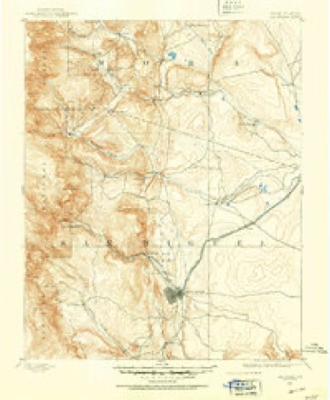
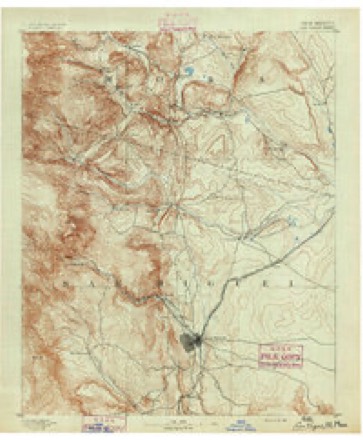
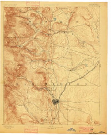
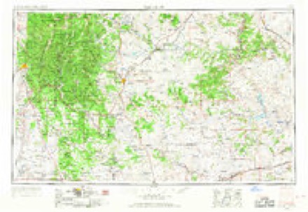
15 topographic sheets cover this place, the earliest surveyed in 1889 and the latest in 2002. It stands in the Las Vegas census division. It lies in ZIP code area 87742. It stands on Rito San Jose. The Survey maps it on the Rociada quadrangle. It stands 7,500 feet above sea level.
On record in Rociada
Buildings and businesses the archive holds for this place. Each opens its own page, with the source record it came from.
On the National Register 1 record
- Pendaries Grist Milllisted 1979
Topographic sheets covering this place
8 surveys from 15 printed sheetsMatched by testing this settlement's coordinate against the published boundary of every sheet in the United States Geological Survey's historical collection. Each opens the scanned sheet at the Survey.
- 1889 USGS Las Vegas quadrangle1:125000
- 1891 USGS Las Vegas quadrangle1:125000
- 1893 USGS Las Vegas quadrangle1:125000, 5 printings
- 1954 USGS Santa Fe quadrangle1:250000, 4 printings
- 1958 USGS Santa Fe quadrangle1:250000
- 1965 USGS Rociada quadrangle1:24000
- 1983 USGS Santa Fe quadrangle1:100000
- 2002 USGS Rociada quadrangle1:24000
Fires near this place
57 since 1993Regional context, not property-specific evidence. The federal wildfire occurrence database lists 57 fires within 5 miles of Rociada between 1993 and 2020, burning about 855 acres in total. 38 started naturally. None was recorded as arson. Distance is straight-line from the map coordinates, so a fire counted here may appear on a neighbouring settlement's page as well.
| Reported cause | Fires |
|---|---|
| Natural | 38 |
| Missing data/not specified/undetermined | 13 |
| Equipment and vehicle use | 3 |
| Debris and open burning | 2 |
| Recreation and ceremony | 1 |
The most recent of them, most recent first, with the day each was reported and the service that recorded it.
| Date | Cause | Size | Reported by | Name on the report |
|---|---|---|---|---|
| 10 September 2017 | Natural | 20 acres | Santa Fe National Forest | BEAVER CREEK |
| 8 August 2005 | Natural | under an acre | New Mexico State Forestry Division | CHARLIE |
| 6 August 2015 | Natural | 1.0 acres | Santa Fe National Forest | DAVY |
| 3 August 2000 | Natural | 1.0 acres | Santa Fe National Forest | BUELAH |
| 29 August 2015 | Natural | under an acre | Santa Fe National Forest | TIJERA |
| 18 August 2010 | Natural | 1.0 acres | Las Vegas District | PRITZLAFF |
| 1 August 2004 | Natural | under an acre | Santa Fe National Forest | THUNDER |
| 5 July 2000 | Natural | 4.5 acres | Santa Fe National Forest | MORPHY |
Settlements close enough to share some of these fires:
Mines and quarries near this place
10 of 17 shownRegional context, not property-specific evidence. The federal mineral resources record lists 17 workings within 5 miles of Rociada: 12 unknowns, 3 past producers, 2 occurrences. None of them still produces. What was taken out: Lithium, Zinc, Copper, Sand and Gravel, Construction. Distance is straight-line from the map coordinates, so a quarry counted here may appear on a neighbouring settlement's page as well.
| Where | Site | Commodity | Status | Recorded |
|---|---|---|---|---|
| Azure-Rising Sun Mine | Gold, Molybdenum, Copper | Past Producer | 1900, 1940 | |
| Iron Hole Mine | Lithium, Beryllium | Unknown | ||
| Joe Matt & Sam Adams Mine | Lead, Copper, Silver, Zinc | Unknown | ||
| Lepidolite Shaft | Lithium, Beryllium, Tantalum | Past Producer | ||
| Pidlite Pegmatite Mine | Lithium, Tantalum, Rubidium, Mica, Beryllium, Niobium (Columbium) | Past Producer | 1935 | |
| Azure Mine | Copper | Unknown | ||
| Joe and Jenny Prospect | Copper | Occurrence | ||
| Martinez Pit | Sand and Gravel, Construction | Unknown | ||
| Materials Pit | Sand and Gravel, Construction | Unknown | ||
| Good Hope Mine | Zinc | Unknown |
Storms near this place
10 since 2018Regional context, not property-specific evidence. The National Weather Service names Rociada in 10 storm reports between 2018 and 2025: 6 flash flood, 2 hail, 2 flood. No death or injury is recorded in these reports. Each account below is quoted exactly as the forecast office filed it, from the NOAA Storm Events Database, and each date opens the federal record of that event.
| When | Event | Place named | Harm | What the report says |
|---|---|---|---|---|
| August 2024 | Flash Flood | Rociada | $100,000 | Damage from flash flooding occurred along County Road A3A. Debris and rubble were scattered across roadways and driveways with some vehicles trapped in the debris. Another video in the same area showed vehicles trapped in flash flooding in Rincon Montoso southwest of Rociada. Property damage for cabins and vehicles is an estimate. |
| August 2022 | Flash Flood | Rociada | $100,000 | Heavy rain on the Calf Canyon burn scar ran into the Rito San Jose, causing it to overfill its banks. This caused significant flooding near Rociada as high and fast-moving water ran up against a house near Highway 105 and County Road A4B. Water nearly swept away a large propane tank as well. Reports were also received of water near another building in Rociada and with water up to the bumpers of several parks vehicles. Damages are a rough estimate. |
| August 2022 | Flash Flood | Rociada | $30,000 | Heavy rain on the Calf Canyon burn scar caused flash flooding in and around Rociada. Heaviest rains drained into Capulin Canyon flowing to the Rito San Jose and San Jose Church. Video shared on Twitter showed flood waters approaching homes, but exact damages are unknown. Damages are estimated. |
| August 2022 | Flash Flood | Rociada | $20,000 | Heavy rain on the Calf Canyon burn scar caused flooding along Highway 105 and Highway 276. This forced the closure of Highway 105 at mile marker 5 and the closure of Highway 276 at mile marker 0. Damages are estimated. |
| May 2025 | Flood | Rociada | - | A trained spotter reported that flooding from the rain on snow event that had ended on earlier in the week was continuing due to the fast warm-up in temperatures exacerbating the snowmelt. Flood impacts included streams and creeks overtopping area highways near Pendaries between Mora and Rociada and along the Sapello River. |
| May 2025 | Flood | Rociada | - | A trained spotter near Chacon, NM confirmed reports from various sources across social media and broadcast media of flooding across the east slopes of the Sangre de Cristo Mountains from a combination of heavy rain and heavy rain on snow within the Hermit's Peak/Calf Canyon burn scar. The Gallinas Creek in particular responded with high rises that flooded several low water crossings within Las Vegas, NM. Videos shared on Facebook showed flooding in Sapello, NM with other reports of flooding near Mineral Hill west of Las Vegas. |
| August 2022 | Flash Flood | Rociada | - | The IMET on the Calf Canyon fire reported flash flooding along New Mexico 276 due to the Maestas Creek overfilling its banks. Damages are not known. |
| July 2022 | Flash Flood | Rociada | - | Heavy rain on the Calf Canyon burn scar caused the Rito San Jose to overflow its banks and flood low water crossings along County Road A4 near Rociada. No damages were reported. |
| May 2021 | Hail | Rociada | - | A trained spotter reported two inch hail from a severe thunderstorm near Rociada. |
| July 2018 | Hail | Rociada | - | Hail up to the size of quarters in Rociada. |
Nearest settlements
The eight closest, with where each one stands in the county. Distances are straight-line, computed from the Geographic Names Information System coordinates.
| Map | Place | Distance | Sheets |
|---|---|---|---|
| Upper Rociada | 1.6 miles | 15 | |
| Pendaries Village | 1.7 miles | 15 | |
| Tierra Monte | 4.3 miles | 16 | |
| Peñasco Blanco | 4.5 miles | 16 | |
| San Ignacio | 5.5 miles | 16 | |
| Canoncito | 5.7 miles | 16 | |
| Las Dispensas | 6.8 miles | 16 | |
| Manuelitas | 7.8 miles | 16 |
Elsewhere
Matched on this settlement's Geographic Names Information System number rather than its name, so it cannot be a different place of the same name in another state.
| Wikipedia article on Rociada | An encyclopaedic summary. Its text is share-alike, so it is linked here rather than copied. |
| Wikidata item Q19818354 | The structured record the population and elevation above come from. Public domain (CC0). |
Provenance
This settlement is recorded in the Geographic Names Information System as feature 910357. The sheet list is computed by point-in-boundary test against the United States Geological Survey's historical topographic inventory. Both are works of the United States government and carry no copyright under 17 U.S.C. 105.
Wildfire. Short, Karen C. 2022. Spatial wildfire occurrence data for the United States, 1992-2020 [FPA_FOD_20221014]. 6th Edition. Fort Collins, CO: Forest Service Research Data Archive. https://doi.org/10.2737/RDS-2013-0009.6 Collected with United States Government funding and usable without additional permissions or fees.
Mines and quarries. USGS Mineral Resources Data System (MRDS) https://mrdata.usgs.gov/mrds/ A work of the United States government, no copyright under 17 U.S.C. 105.
Storms. NOAA National Centers for Environmental Information, Storm Events Database https://www.ncei.noaa.gov/stormevents/ A work of the United States government, no copyright under 17 U.S.C. 105. Narratives are quoted verbatim from the National Weather Service report and are not edited or summarised.