Block
From the record
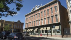
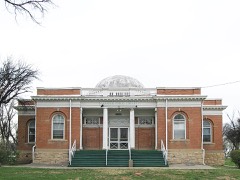
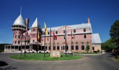
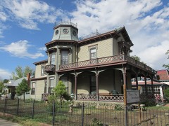
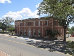
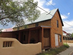
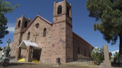
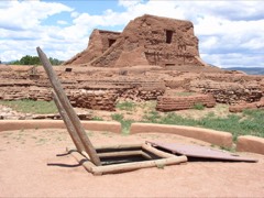
104 National Register listings published here, 3 of them National Historic Landmarks.
Sources: the county history on the Internet Archive · the National Register database, National Park Service
123 topographic sheets and 10 fire insurance atlases across 1 place.
104 National Register listings published here, 3 of them National Historic Landmarks.
Sources: the county history on the Internet Archive · the National Register database, National Park Service
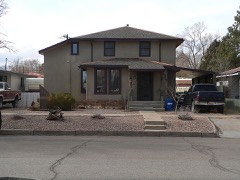
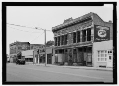
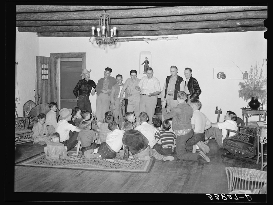
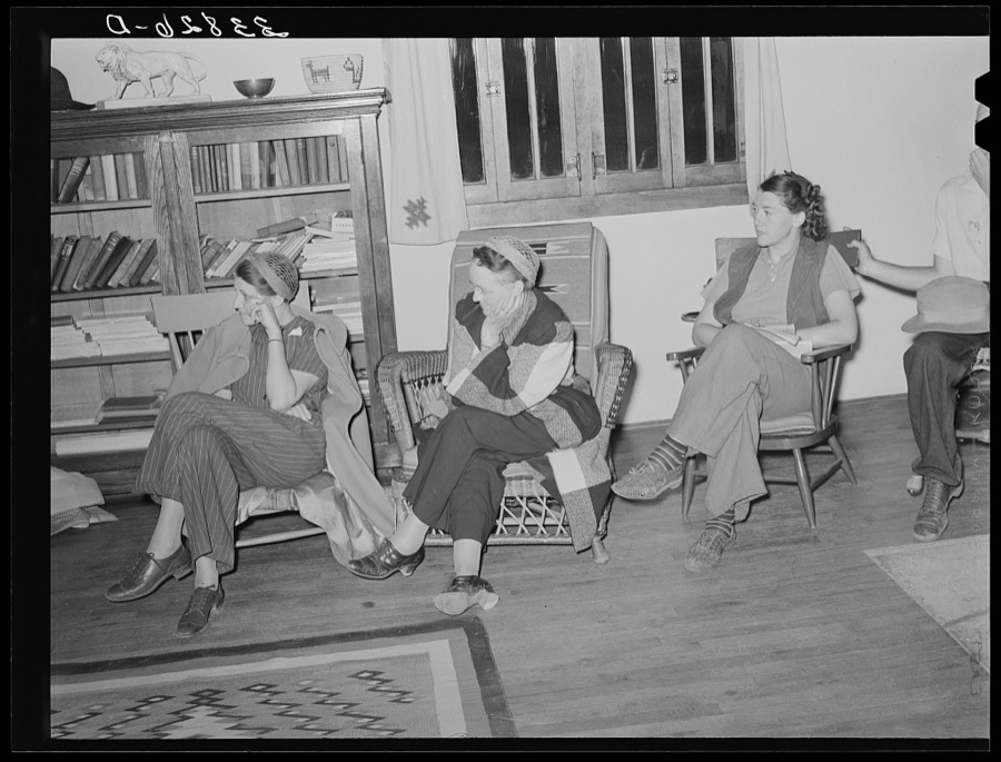
Taken for the Office of War Information and the Farm Security Administration, who photographed the country between 1935 and 1944. Works of United States government photographers, with no known restriction on use. Each opens its catalogue record.

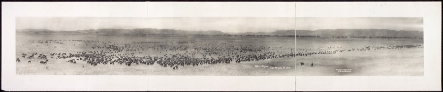
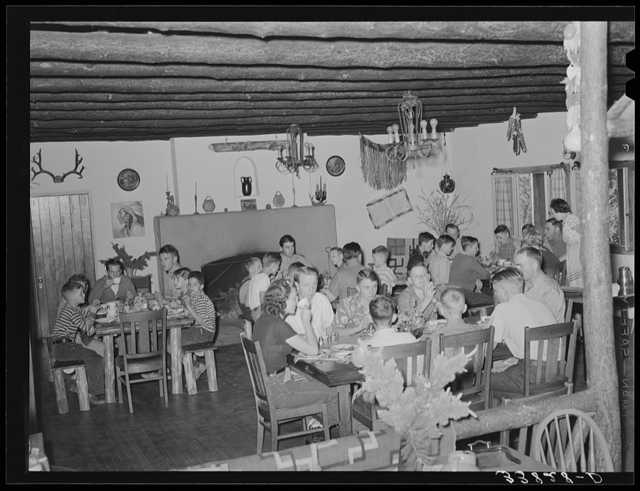

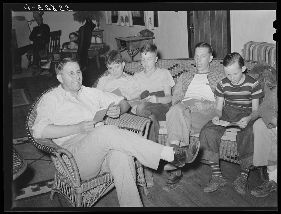


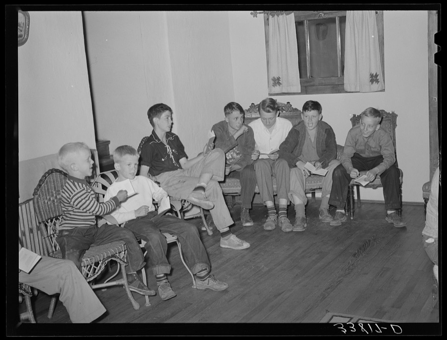

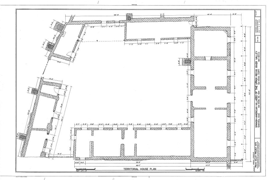
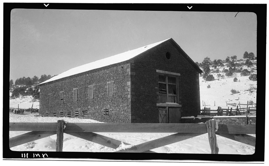
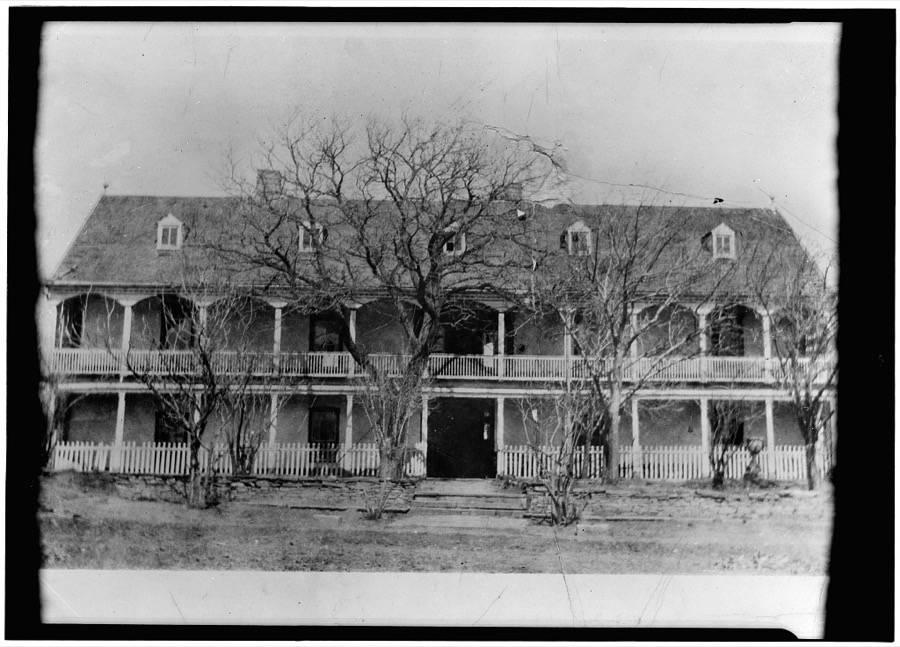
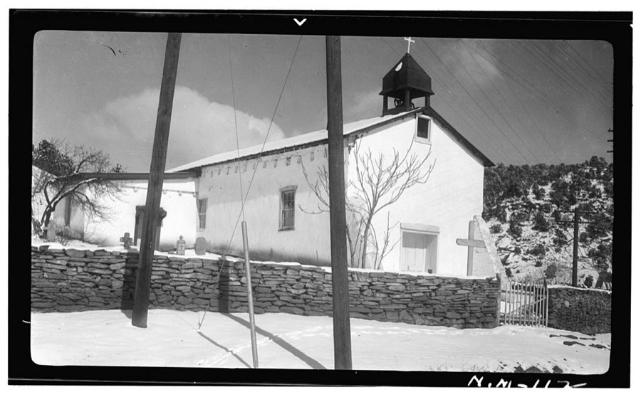
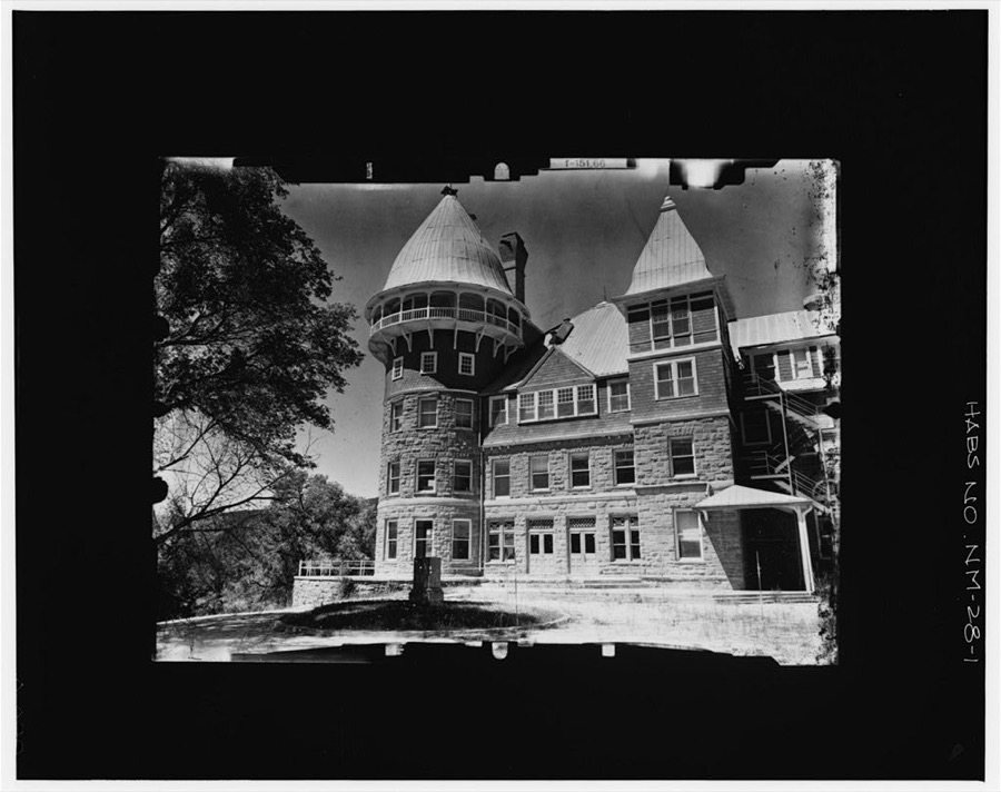
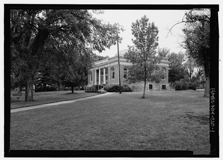
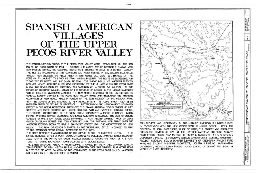
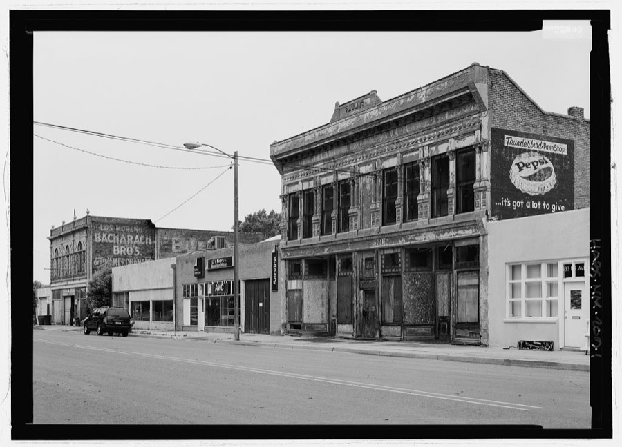
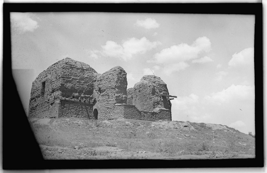
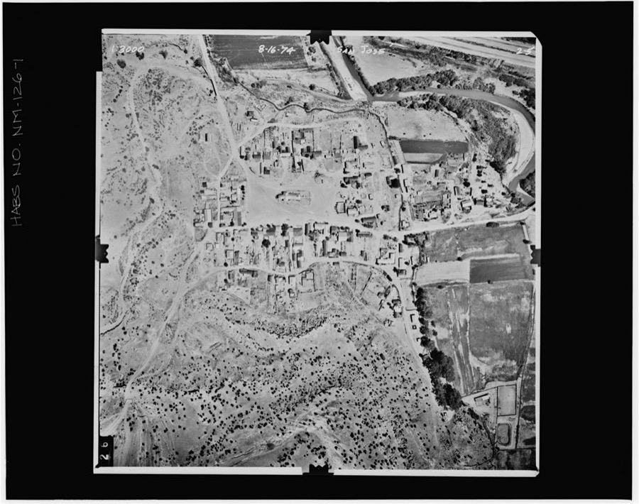
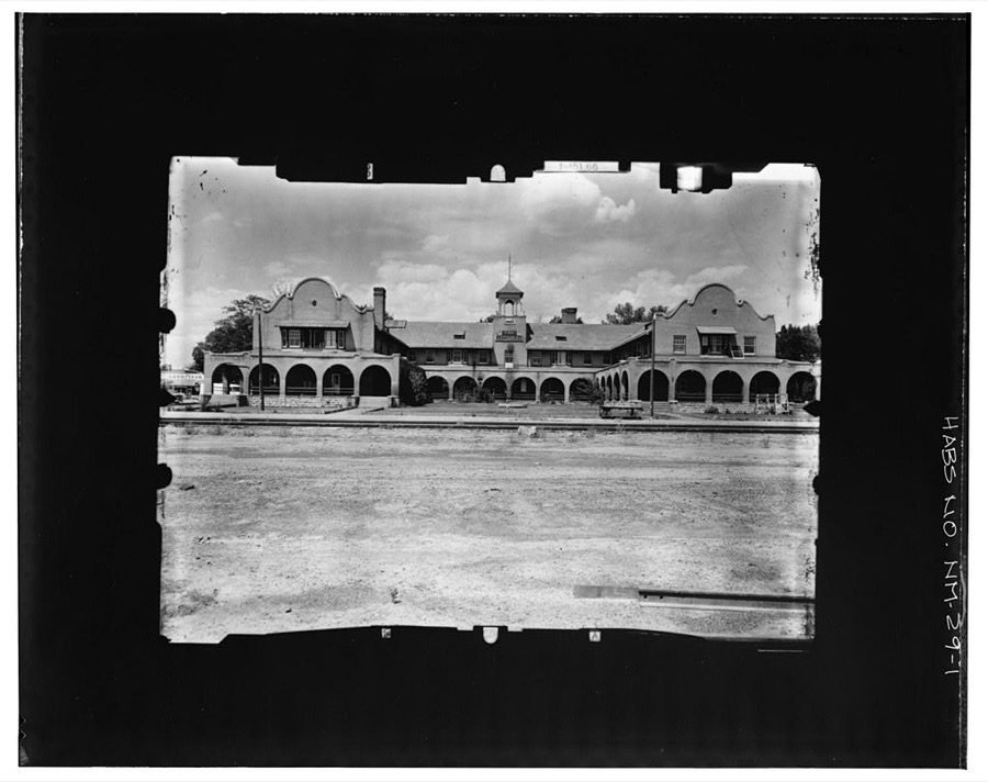
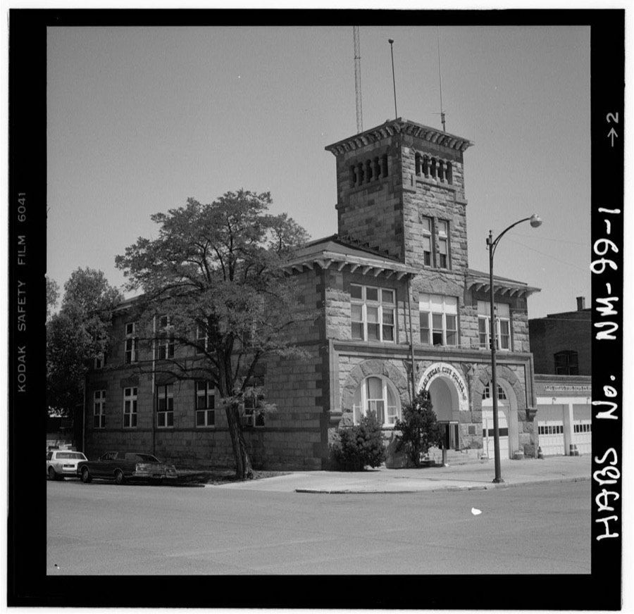
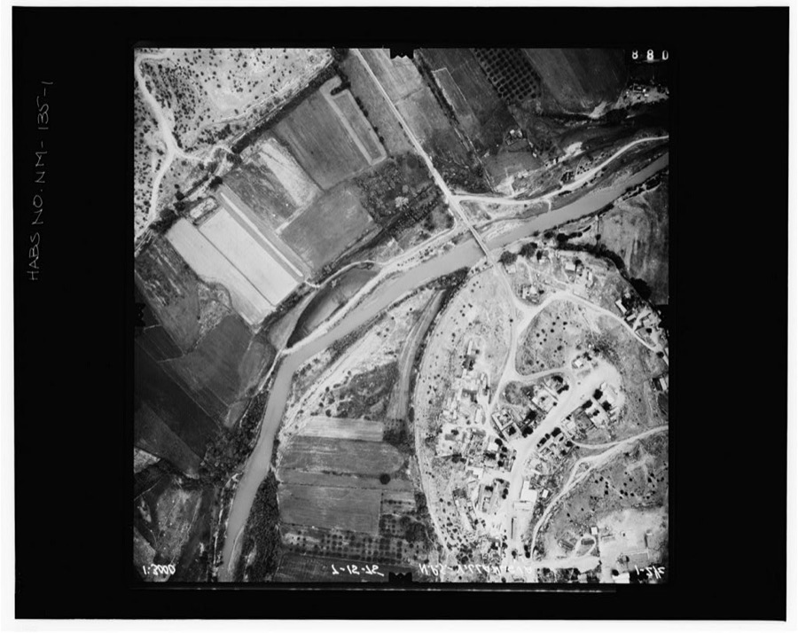
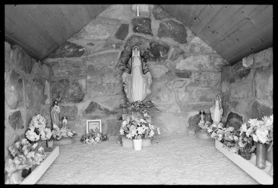
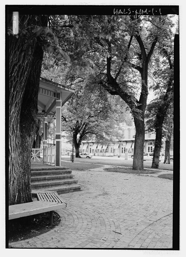
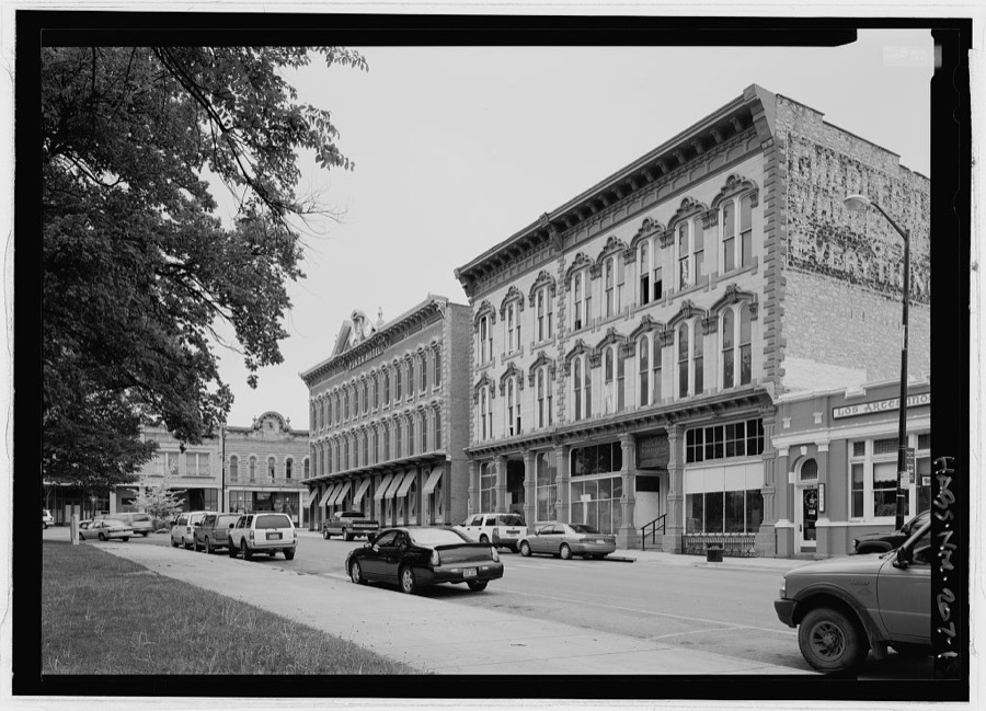
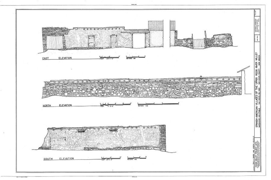
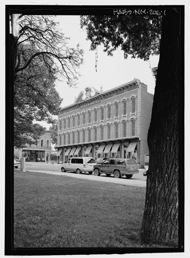
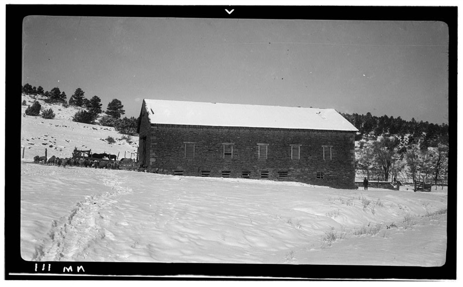
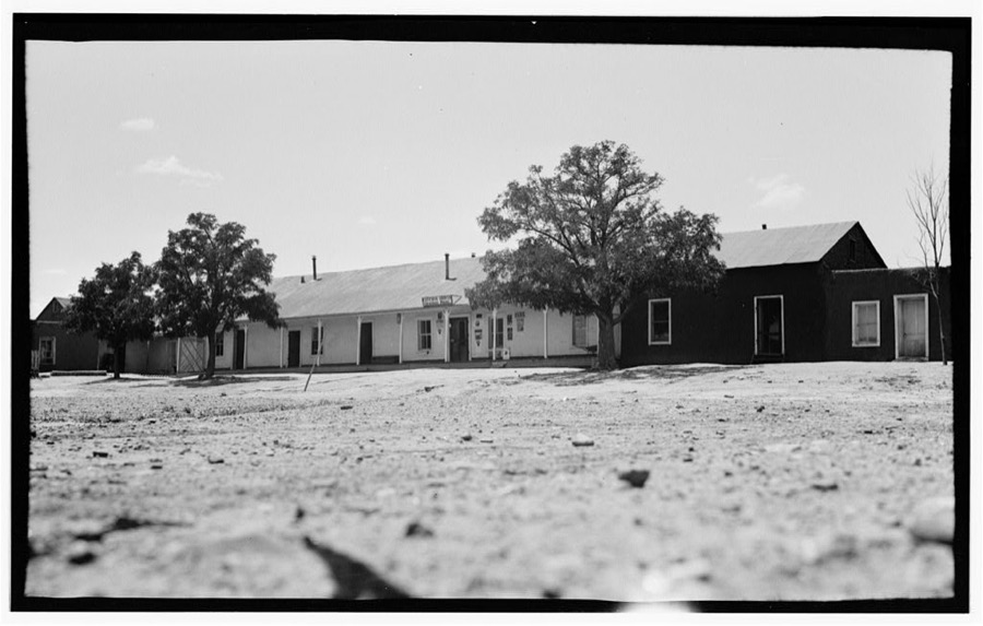
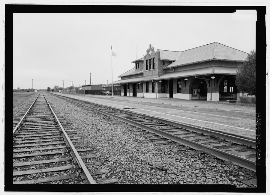
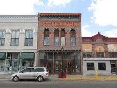
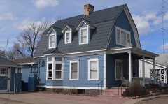
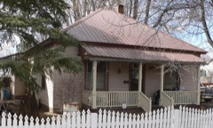
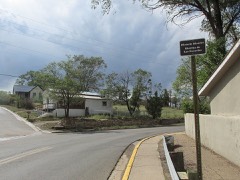
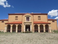
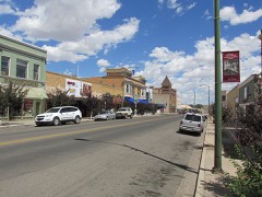
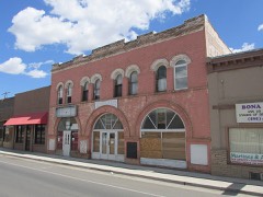
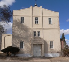
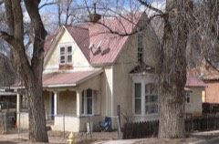
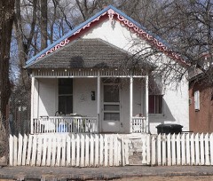
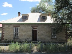
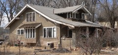
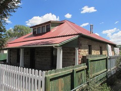
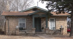
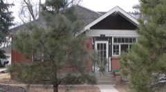
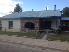
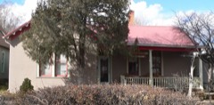
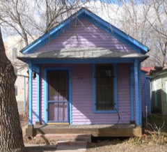
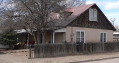
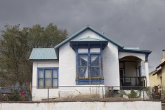
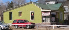
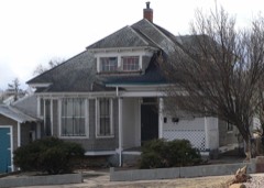
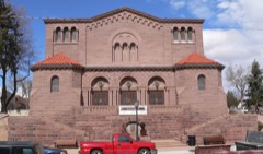
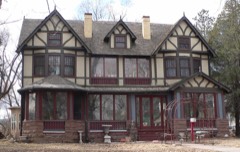
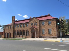
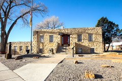
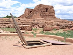
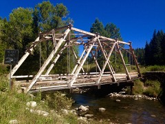
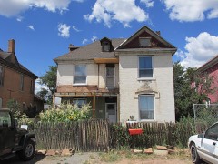
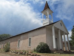
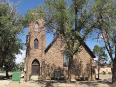
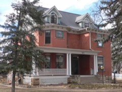
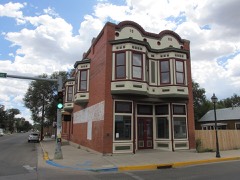
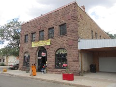
Every property in this county listed on the National Register of Historic Places, with the year it was listed and the federal nomination document.
Sampled issues, machine-read from the Library of Congress scan and published page by page, so every headline and column is searchable text.
Las Vegas, N.M., 1872 to 18??. Machine-read from the Library of Congress scan.
Las Vegas, N.M., 1880 to 1908. Machine-read from the Library of Congress scan.
[Las Vegas, N.M.], 1881 to 1886. Machine-read from the Library of Congress scan.
East Las Vegas, N.M., 1908 to 1921. Machine-read from the Library of Congress scan.
Las Vegas, N.M., 1898 to 190?. Machine-read from the Library of Congress scan.
Las Vegas, N.M., 18?? to 1881. Machine-read from the Library of Congress scan.
Las Vegas, N.M., 1879 to 1880. Machine-read from the Library of Congress scan.
Las Vegas [N.M.], 1886. Machine-read from the Library of Congress scan.
East Las Vegas, N.M., 1891 to 1???. Machine-read from the Library of Congress scan.
Drawn when these were printed as single large sheets: the town seen from the air, and the county divided into its farms with every owner named. Each opens the original at the Library of Congress.
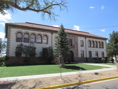
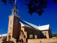
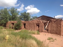
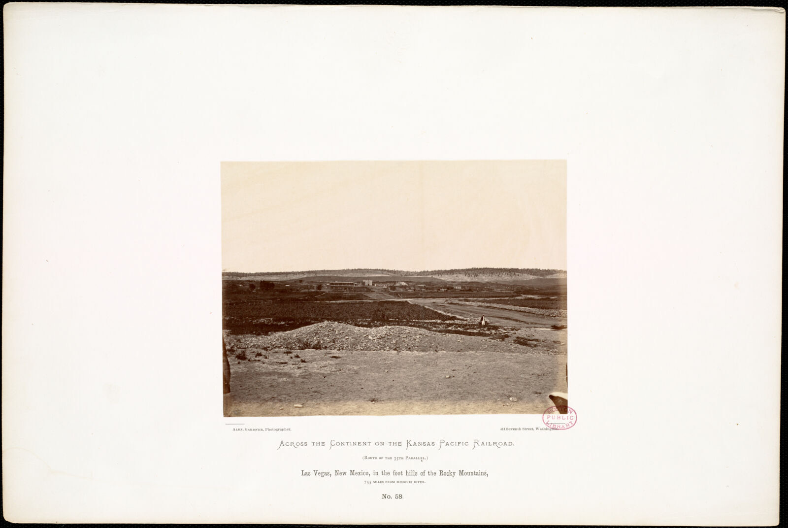
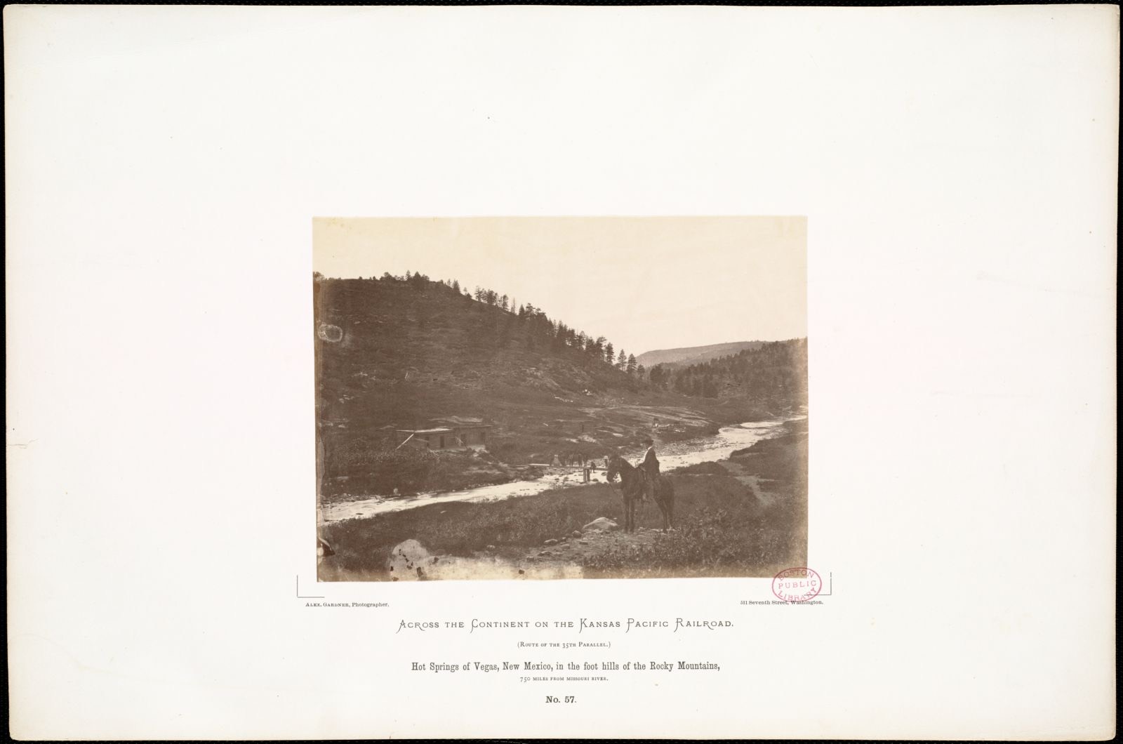
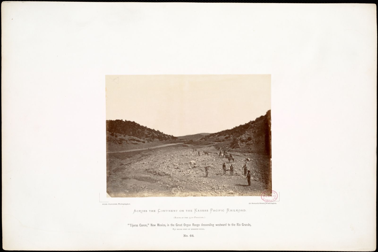
Selected from the Digital Public Library of America's 28 image records catalogued for this county. Every one shown here carries a public-domain status or a licence that permits reuse on a site that carries advertising; non-commercial, share-alike and restricted images are excluded. The selection is spread across the county's towns (at most eight per town), so no single institution's bulk upload crowds out the rest. Each opens the holding library's record, and the complete set at the Digital Public Library of America is one click away.
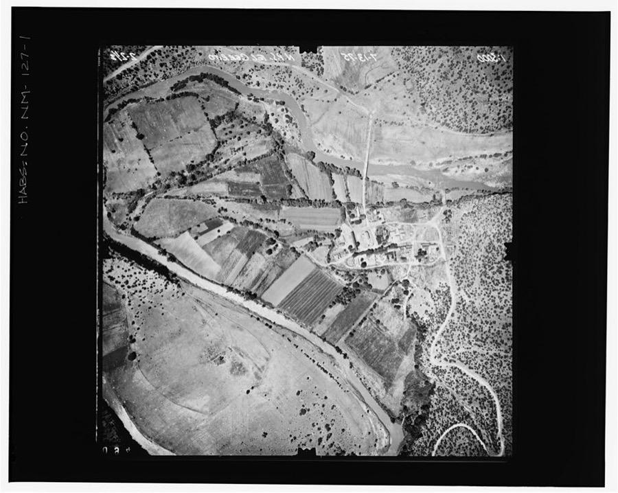
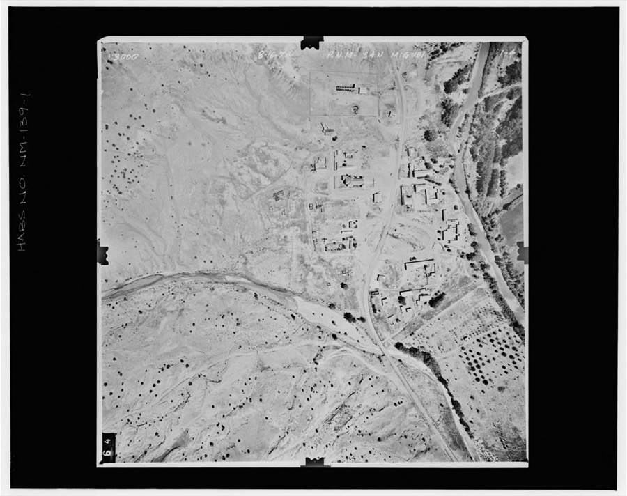
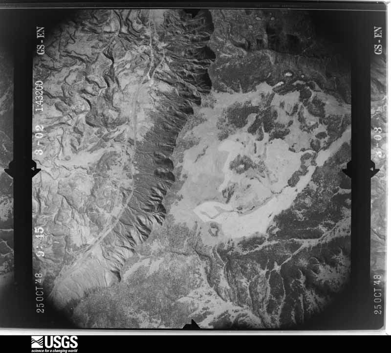
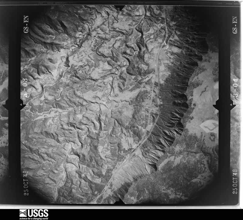
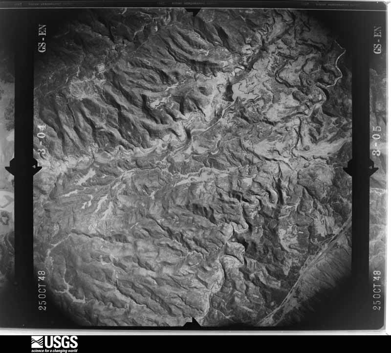
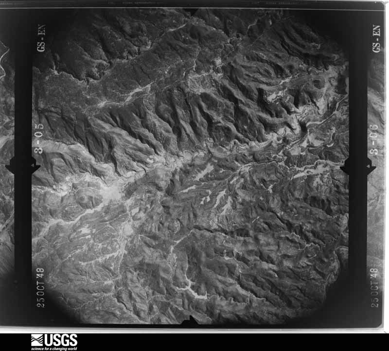
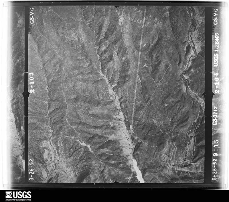
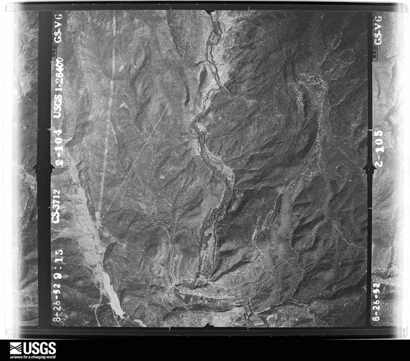
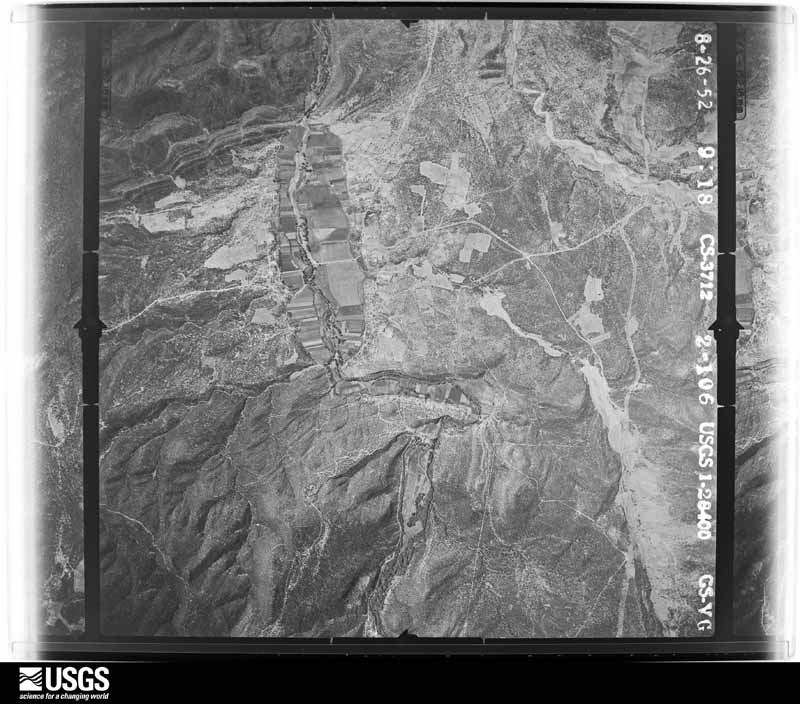
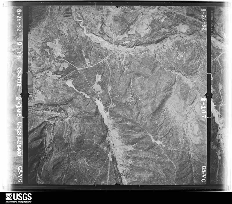
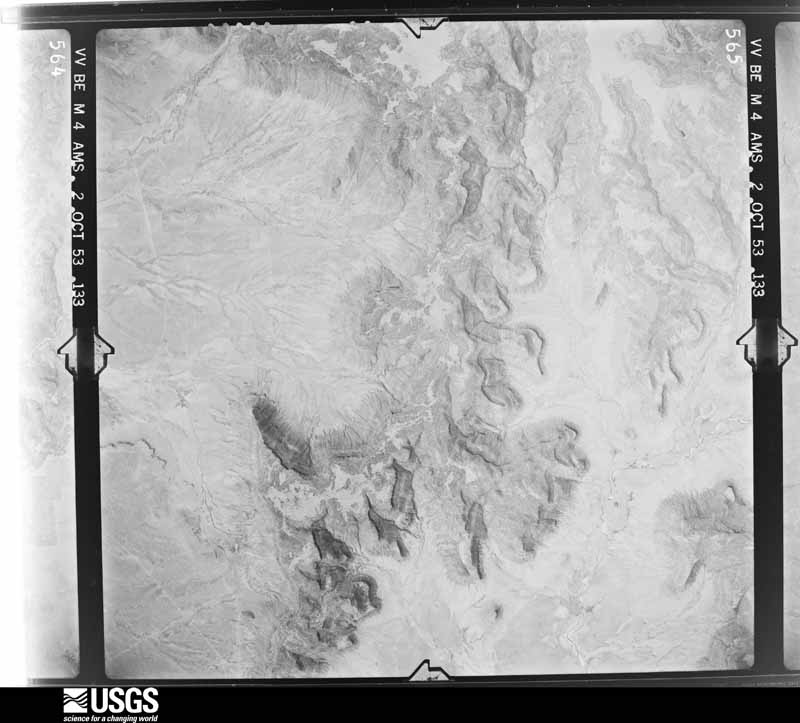
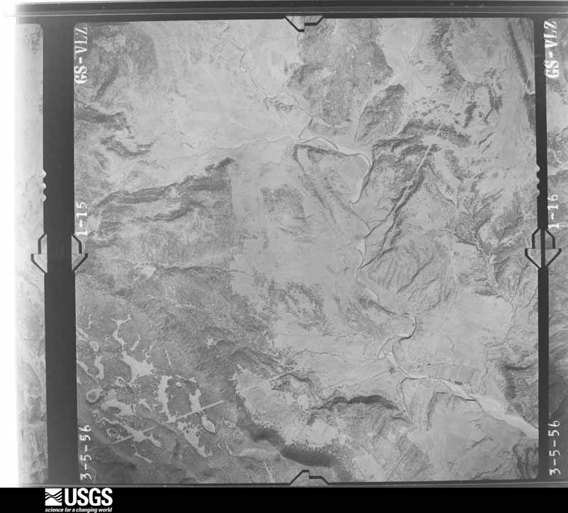
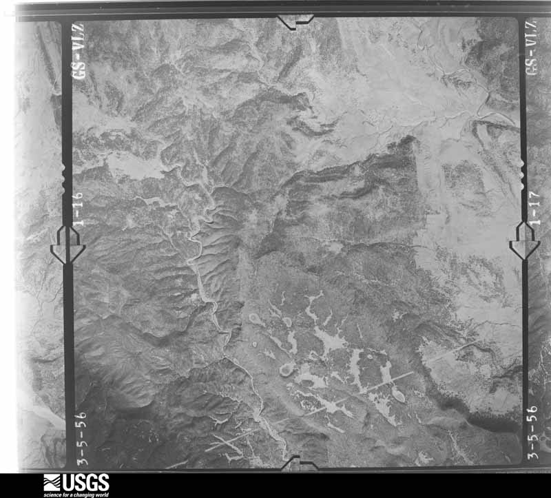
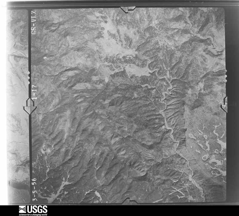
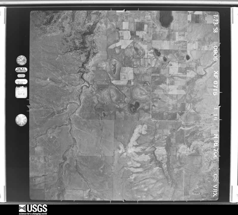
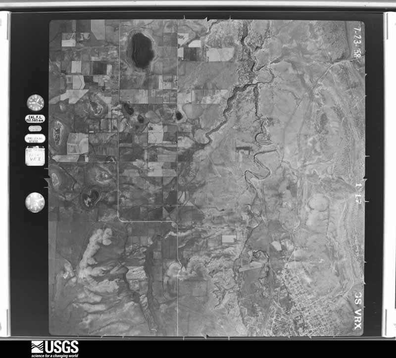
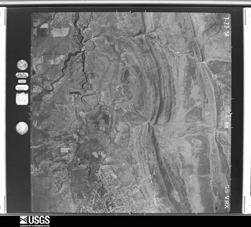
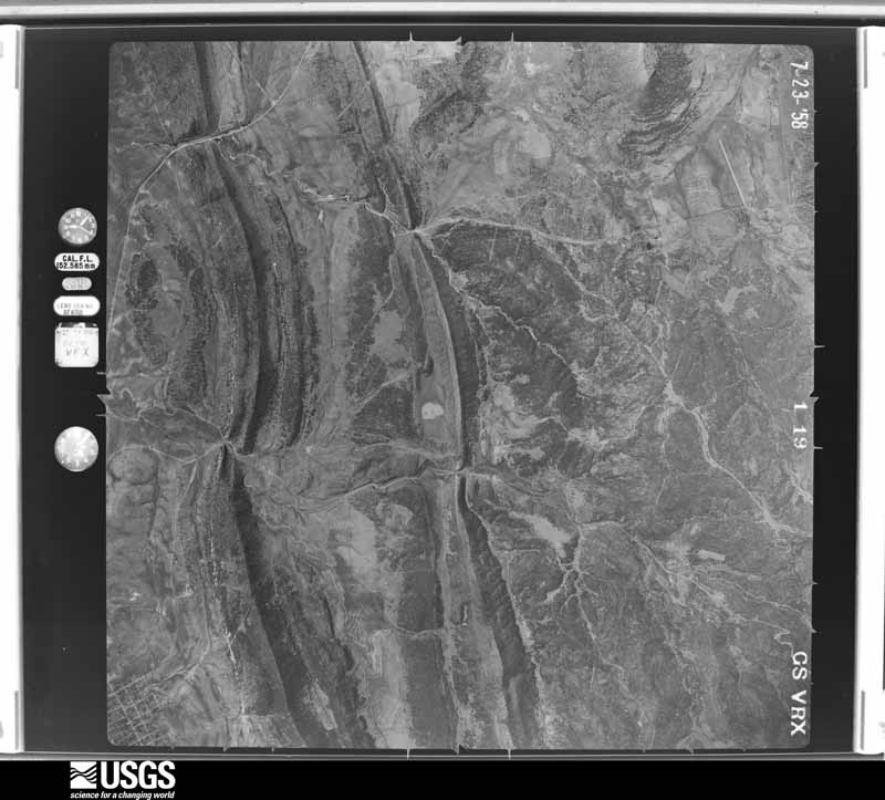
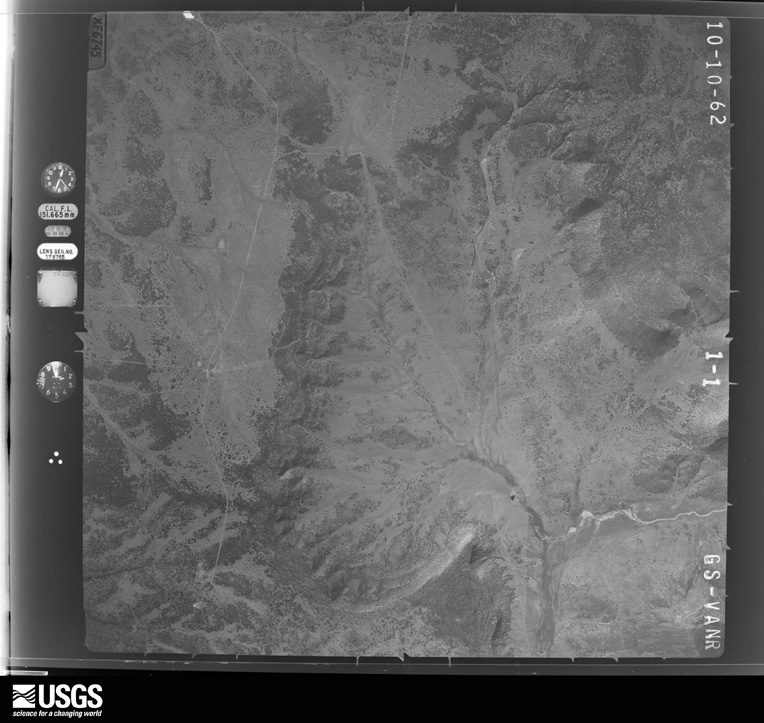
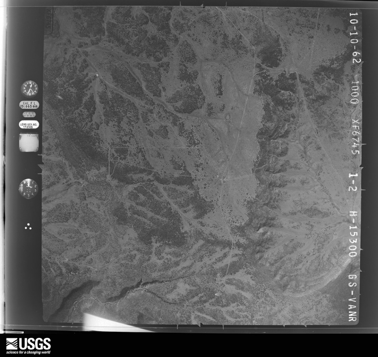
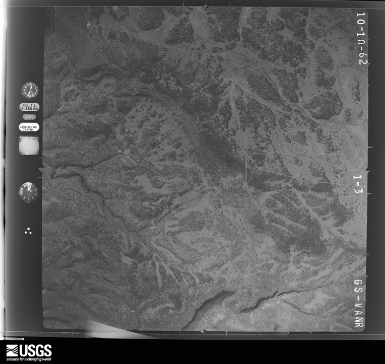
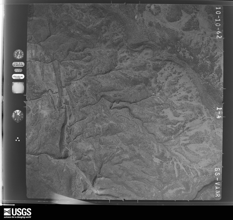
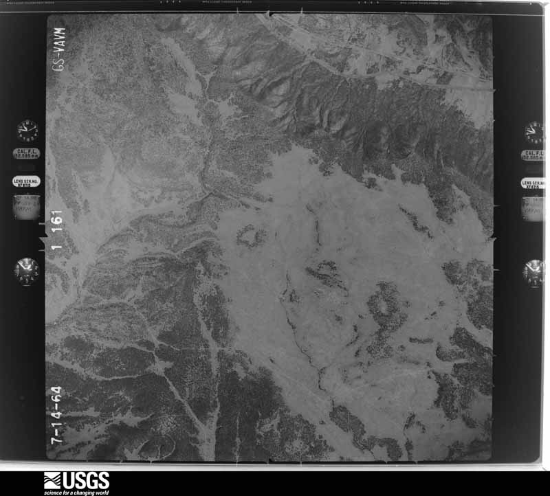
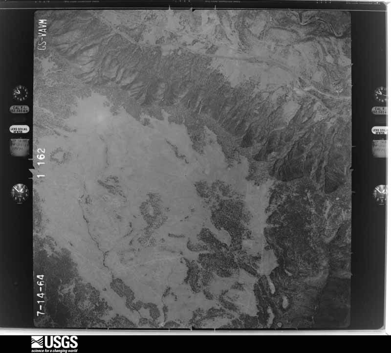
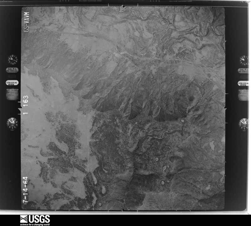
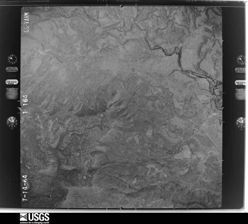
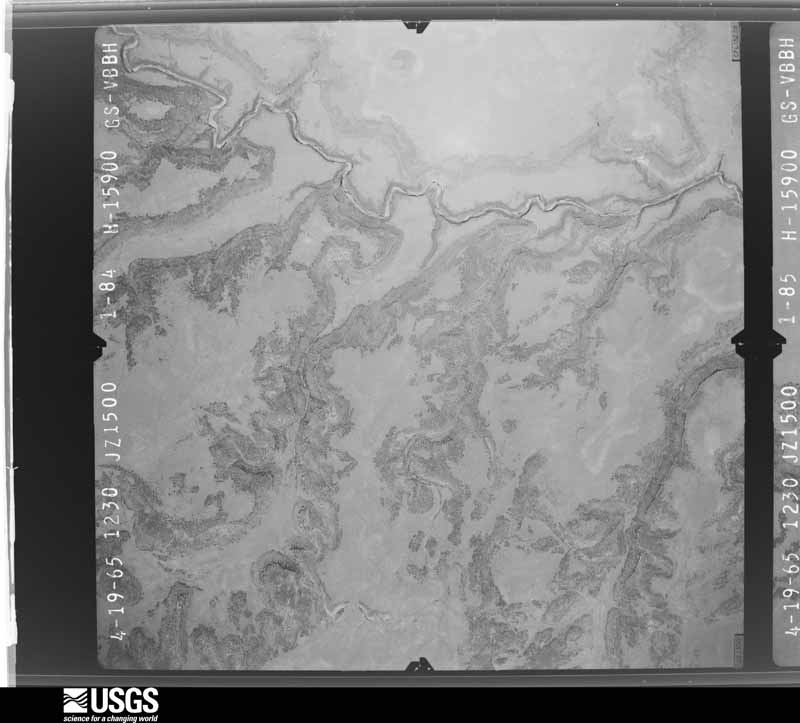
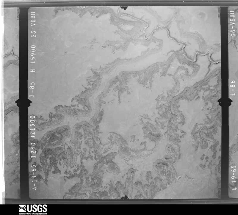
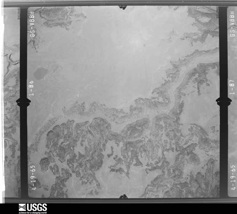
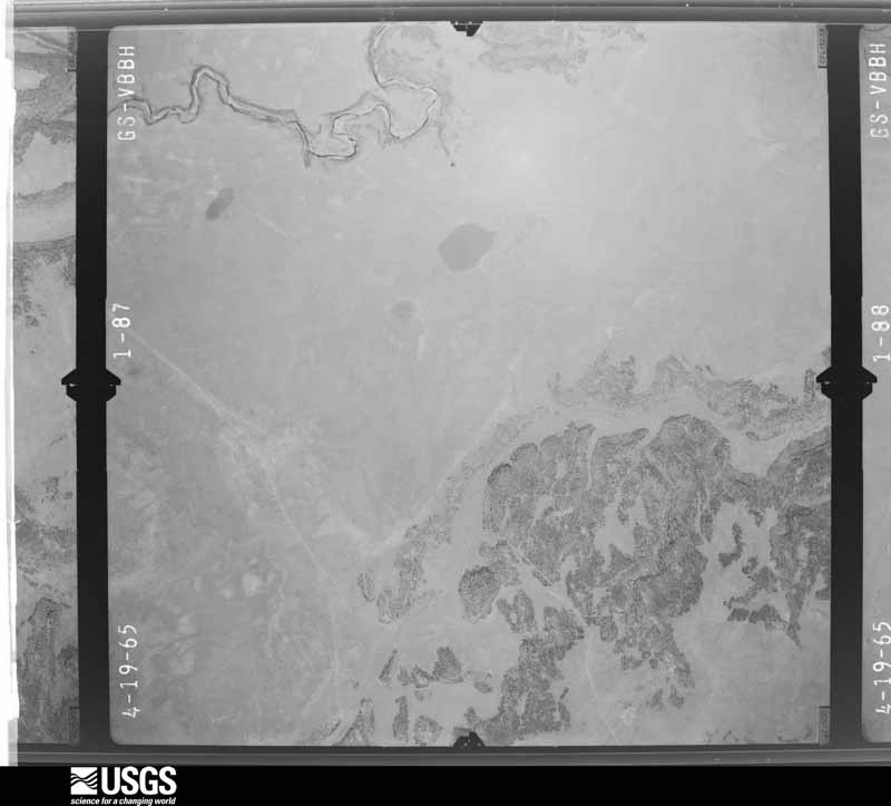
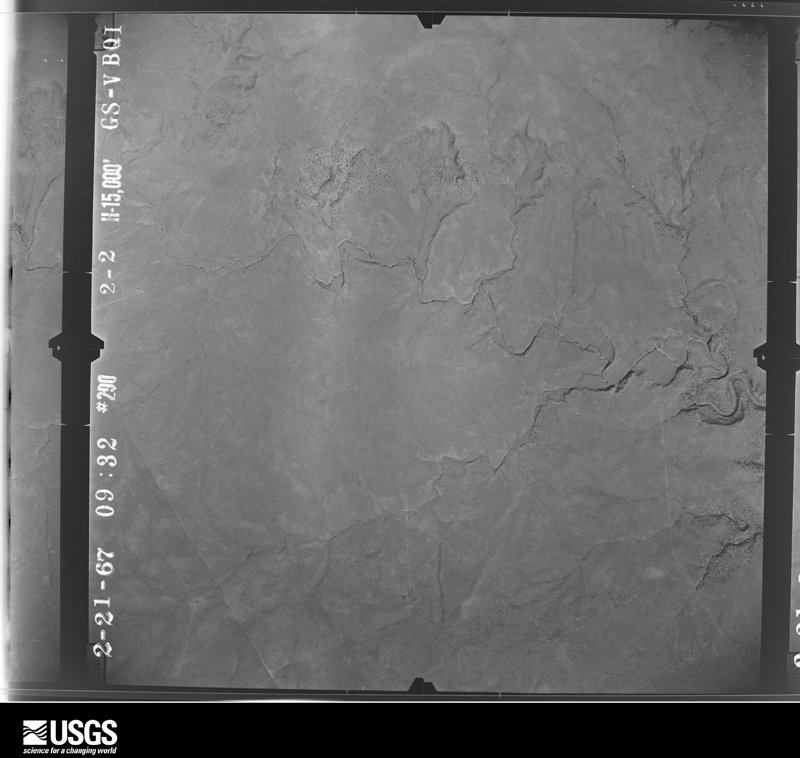
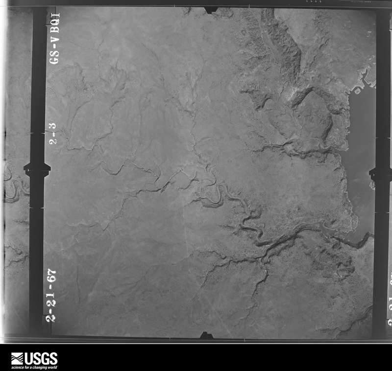
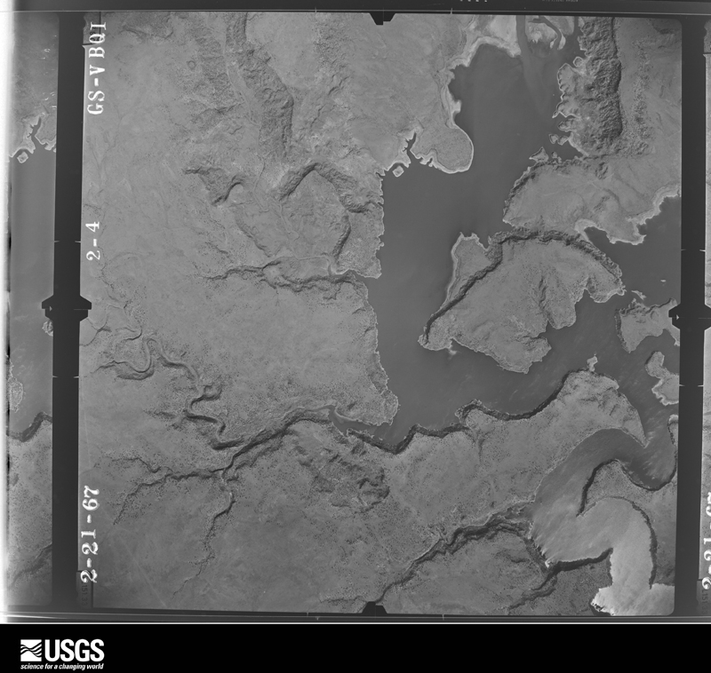
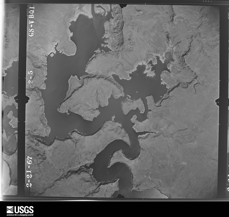
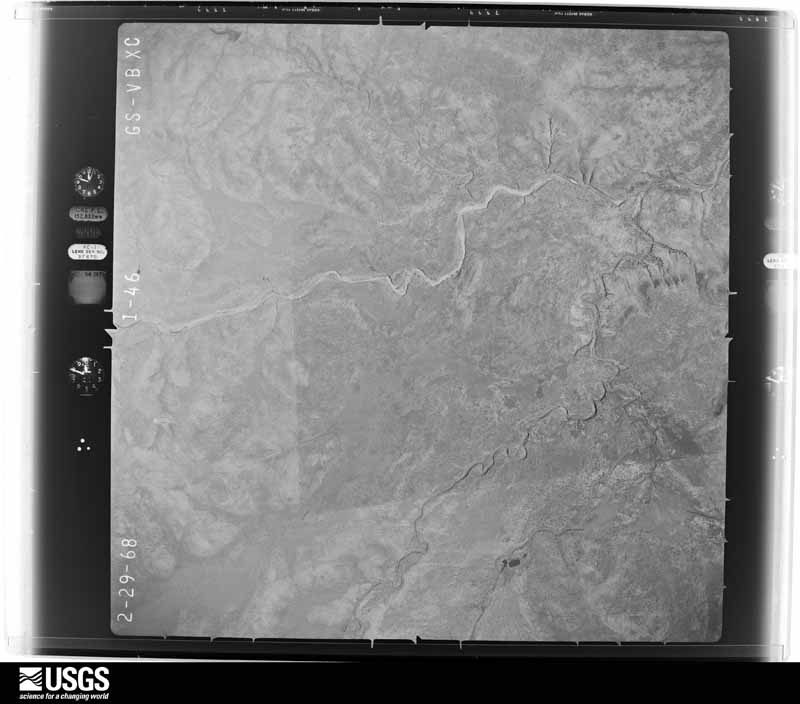
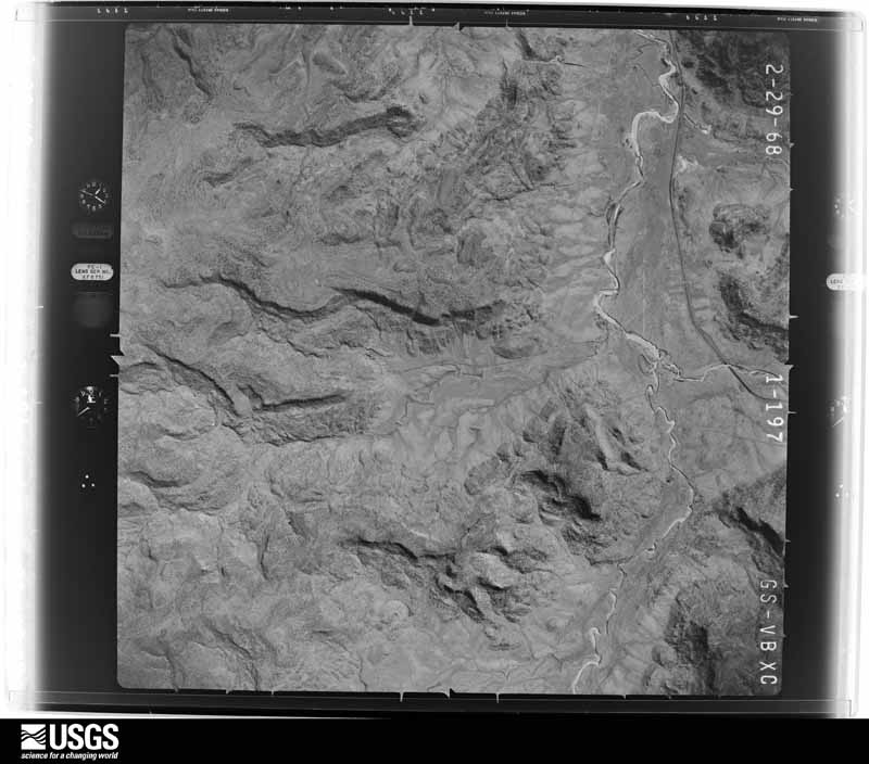
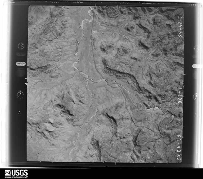
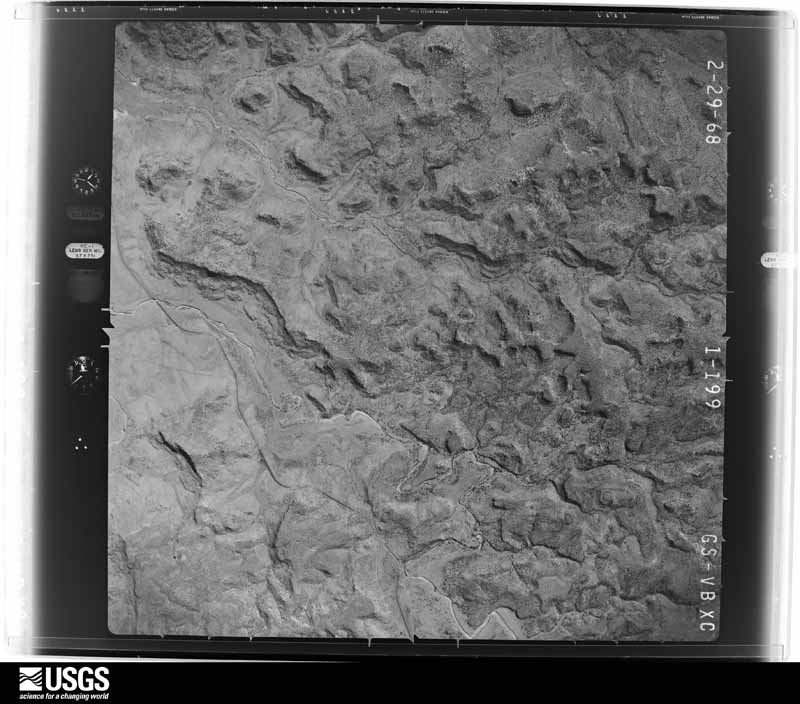
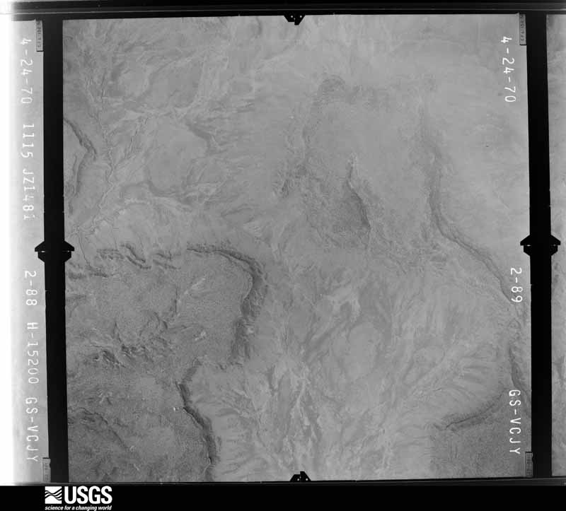
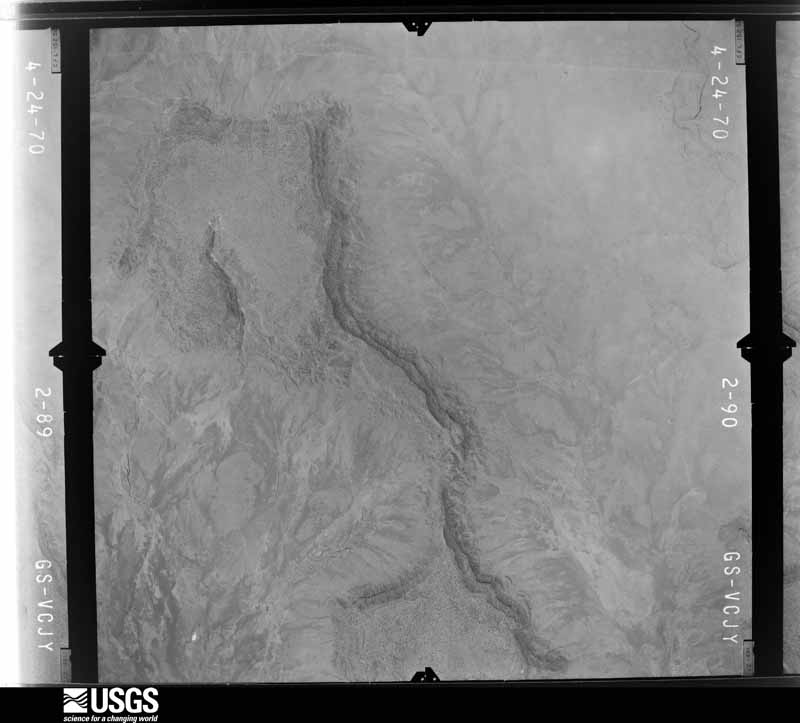
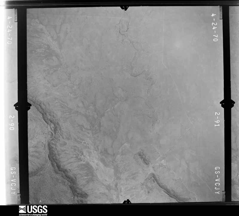
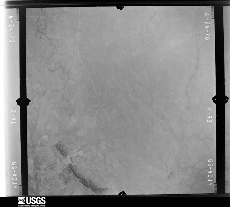
Flown by the U.S. Geological Survey between 1937 and 1989, the Aerial Photo Single Frames collection is the definitive mid-century view of the land: fields, roads and rivers as the camera saw them. The Survey holds 3,609 frames inside the rectangle that bounds this county; the 48 frames below were taken over the county itself, chosen across the decades of flights (at most four a year from that rectangle), so one flight cannot crowd out the rest. The full set is free to browse and download at EarthExplorer under the dataset Aerial Photo Single Frames.
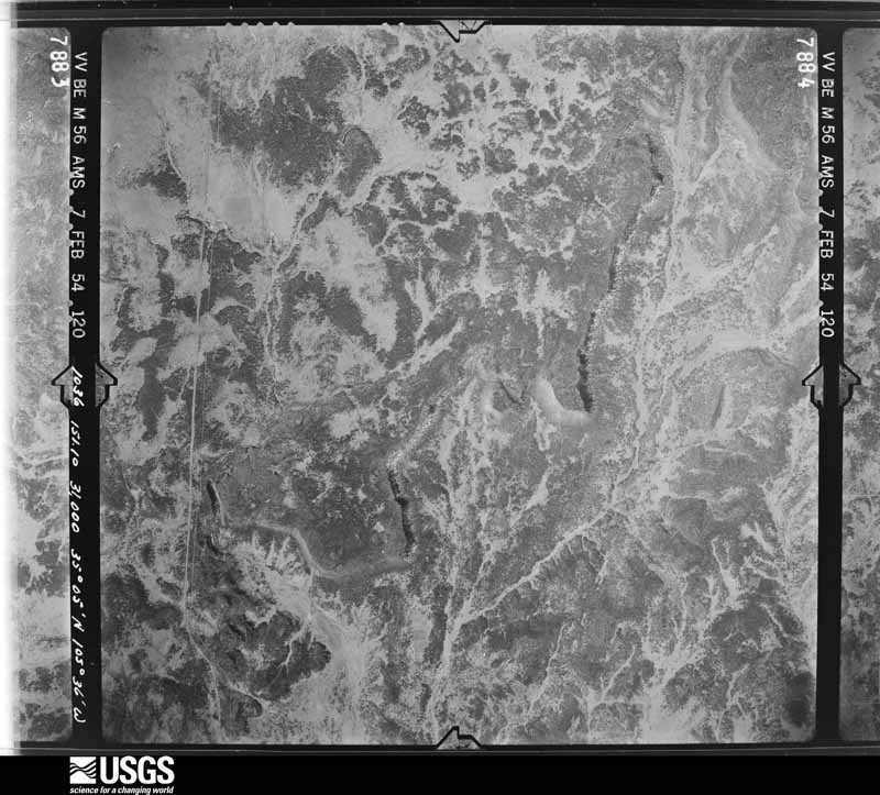
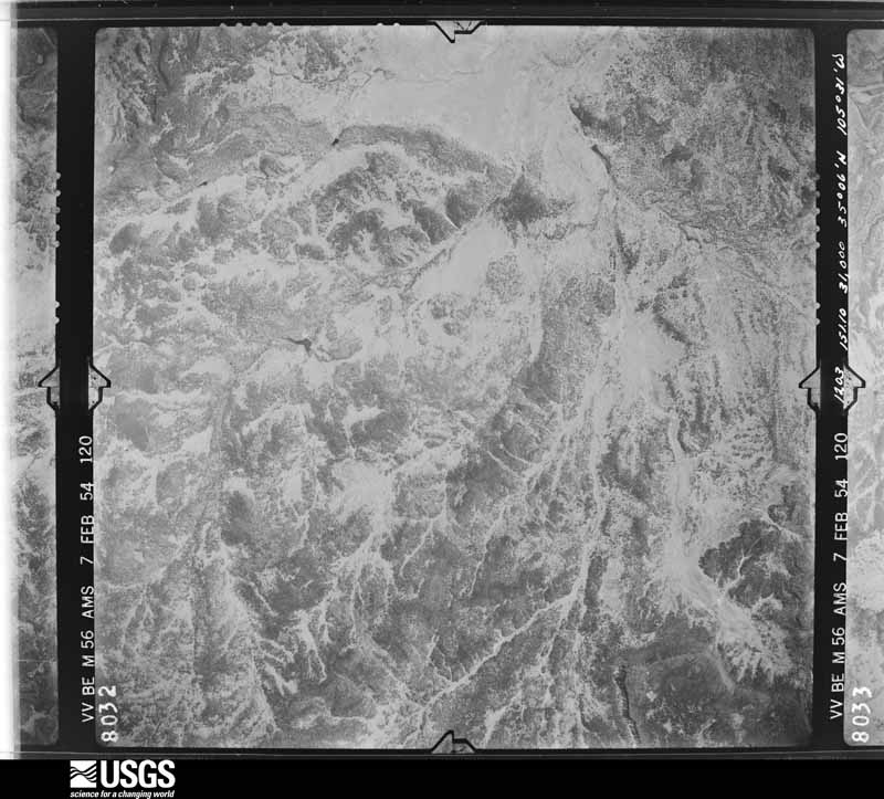
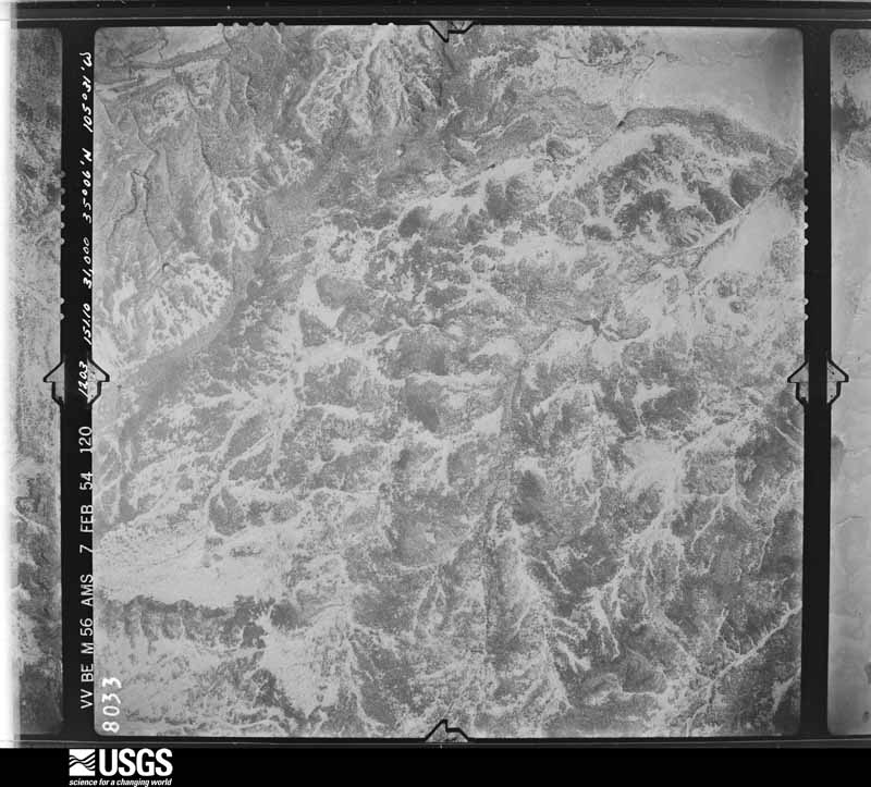
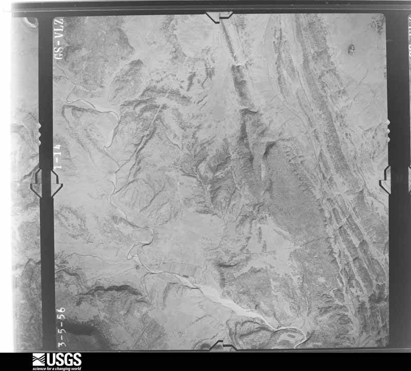
The thermometers that kept this county's weather, and the gages that measured the flow of its streams, as the federal records hold them. The extremes below are measured values from those records, not estimates.
Who lived here in 1950, one enumeration district at a time, as the Census Bureau described each district. Each row opens its official National Archives result, with Population Schedules and ED Maps available there.
Every wildfire the federal occurrence database records inside this county: 1,312 of them, burning about 141,428 acres. 641 started naturally and 17 were recorded as arson. Each settlement page carries the fires within five miles of it.
| Reported cause | Fires |
|---|---|
| Natural | 641 |
| Missing data/not specified/undetermined | 374 |
| Recreation and ceremony | 96 |
| Debris and open burning | 82 |
| Equipment and vehicle use | 55 |
| Smoking | 22 |
| Arson/incendiarism | 17 |
| Power generation/transmission/distribution | 15 |
| Misuse of fire by a minor | 6 |
| Other causes | 3 |
| Fireworks | 1 |
The five largest, by the area the report gives. None of them was recorded as arson.
| Date | Cause | Size | Reported by | Name on the report |
|---|---|---|---|---|
| 29 May 2000 | Missing data/not specified/undetermined | 28,348 acres | Santa Fe National Forest | VIVEASH |
| 30 May 2013 | Power generation/transmission/distribution | 10,219 acres | Santa Fe National Forest | TRES LAGUNAS |
| 13 March 1997 | Missing data/not specified/undetermined | 8,000 acres | New Mexico State Forestry Division | GARITA |
| 15 June 2002 | Natural | 5,800 acres | Santa Fe National Forest | TRAMPAS |
| 29 February 2016 | Missing data/not specified/undetermined | 5,006 acres | Las Vegas District | TRUCK |
| 17 February 1999 | Missing data/not specified/undetermined | 5,000 acres | New Mexico State Forestry Division | T-FOUR |
| 7 August 2000 | Natural | 3,600 acres | Las Vegas District | BELL |
| 28 February 2000 | Missing data/not specified/undetermined | 3,500 acres | New Mexico State Forestry Division | TRINCHERA |
Every settlement page carries the fires within five miles of it - see the settlement index below.
The NOAA Storm Events Database holds 417 reports for this county, causing 3 deaths, no injuries and about $7,814,590 in recorded property damage. Each settlement page carries the reports that name it.
| Kind of event | Reports |
|---|---|
| Hail | 281 |
| Flash Flood | 65 |
| Thunderstorm Wind | 36 |
| Tornado | 18 |
| Funnel Cloud | 7 |
| Flood | 5 |
| Heavy Rain | 2 |
| Debris Flow | 2 |
| Wildfire | 1 |
The most serious of them, by death, then injury, then recorded damage. The accounts are quoted exactly as the forecast office filed them.
| When | Event | Place named | Harm | What the report says |
|---|---|---|---|---|
| July 2022 | Flash Flood | Pendaries | 3 killed, $2,000,000 | Training thunderstorms across the southern portion of the Hermits Peak and Calf Canyon burn scar in San Miguel County produced an estimated 2 to 4 inches of rainfall within the Tecolote Creek and Gallinas Creek areas which caused significant and catastropic flash flooding. Flash flooding and debris flow washed out many roadways within the area, rendering them impassable. The camp director at the Camp Blue Haven said that their playground was underwater for about 40 minutes until water receded. At 2:40 PM MDT, the chief of the Cabo Lucero Volunteer Fire Department received a call about a vehicle floating within the flood waters. When officials responded to the floating vehicle, they also discovered two people dead nearby. While initially thought to have been in their vehicle, officials later determined that the two women, 62-year-old Linda June Cummings and 84-year-old Betty Greenhaw, were swept away from a destroyed home within the Tecolote Canyon subdivision. A third individual from the same home was reported missing, and the National Guard, New Mexico State Police, and San Miguel County Sheriff's Office assised in search and rescue for several days. Finally on Tuesday, July 26th, they found the body of 62-year-old Jimmy Chris Cummings. All three were from Hale Center, Texas, but had a 100-year-lease on a cabin in Tecolote Canyon on the Camp Blue Haven property which they were visiting at the time. Eight feet of water rushing down into the canyon took down two walls of the cabin and partially destroyed the other two walls. Damages for this event are estimated. |
| May 2000 | Wildfire | Pecos | $1,200,000 | no account filed |
| June 2024 | Flash Flood | Las Vegas | $1,000,000 | Flash flooding from heavy rains closed NM Highway 65 from mile markers 2 to 4 or one mile south of Montezuma where culverts were washed out. Flowing water 1 to 3 feet deep also reported over El Llano Road, Cinder Road, Palo Verde Road and at the intersection of 7th Street and Mills Avenue. Road closures were also reported along State Road 65 at Campus and El Camino, as well as along 8th Street north of Mills Avenue. Robertson Cardinal football field was completely covered in standing water. The Las Vegas Water Treatment Plant also flooded. A mandatory evacuation order was issued at 9:54pm MDT for this area due to the dangerous flooding across Las Vegas to Montezuma. Damage is an estimated given very limited information. |
| September 2013 | Flood | (Lvs)Las Vegas Airport | $1,000,000 | Major flooding observed along Gallina Creek near Las Vegas. Evacuations ordered for areas along the river from Montezuma east to Las Vegas. A major breach occurred on the Storrie Lake Diversion Channel. An estimated one year supply of water storage was lost for drinking water due to the breach. A Red Cross shelter was established at Robertson High School. An elderly couple was rescued overnight by the National Guard from the Pine Camp area. NM 283 was closed west of Las Vegas. A sink hole was reported near the South Diversion River Crossing Catwalk with damage to waste water components. A couple of homes and numerous vehicles and roadways were damaged. A bridge on CR-A1 near Sapello was closed due to high water. A total of 1,040 structures were damaged in this multi-day event. |
| June 2010 | Flash Flood | Ribera | $750,000 | Heavy rains caused the Pecos River to overflow its banks from Ribera south to nearly Villanueva. One home in Ribera was moderately damaged and two others had minor damage. Route 3, which runs along the Pecos River, was mostly under water. Three other roads were washed out in Ribera. Areas along and upstream from the Pecos received heavy rain, but so did many creeks and tributaries that flow into the river. Roads along these secondary creeks sustained as much, if not more, damage than in the town of Ribera. In Bernal, flooding creeks caused damage to County Roads B27 and B28A. Only one lane remained open after the shoulders were washed away. The flooding also washed out 300 feet of railway along the Burlington Northern Santa Fe Railroad near Bernal. Further upstream, flash flooding along Tecolote Creek caused one bridge to collapse and damaged five low water crossings. The fast moving water was 12 feet outside of its banks. Another low water crossing in Ojito Fritos along County Road A19A had standing water because culverts were blocked by debris. Despite the mud and debris along the road, one lane was kept open. |
| August 2017 | Hail | (Lvs)Las Vegas Airport | $250,000 | Hail up to the size of baseballs reported near New Mexico Highlands University. Significant damage occurred to vehicles, especially on the southeastern edge of Las Vegas. |
| September 2022 | Flash Flood | El Porvenir | $200,000 | A nearly stationary thunderstorm over El Porvenir produced over two inches of rainfall on this area of the Calf Canyon burn scar. This caused flash flooding on Beaver Creek and Gallinas Creek with significant debris found on Highway 65. The IMET on duty found several locations along Highway 65 that were covered in tree debris, rocks, and mud. Some buildings along the roadway were inundated with a couple of feet of water. The IMET also noted that water had threatened homes in the area as well, but these homes seemed to have been protected with sandbagging. Damages are estimated. |
| July 2022 | Flash Flood | Pendaries | $150,000 | Rainfall totals of 2 to 3 inches across southern portions of the Hermits Peak and Calf Canyon burn scar caused significant flash flooding and debris flow. Widespread flooding was observed along Highway 105 with drainages well out of their banks. A barn along Highway 105 was also flooded. This forced the closure of the highway for several hours on July 1st. County Road A4B was also flooded with debris flow across the roadway. Damages are estimated. |
| August 1997 | Flash Flood | Trujillo | $150,000 | Heavy rain in central San Miguel county produced rock and mud slides which closed Highway 104 about 15 miles west of Trujillo and washed away much of the road material along a 2.6 miles stretch of County Road C-51-A near Trujillo. Several homes in Trujillo were also flooded by runoff. |
| August 2024 | Flash Flood | Rociada | $100,000 | Damage from flash flooding occurred along County Road A3A. Debris and rubble were scattered across roadways and driveways with some vehicles trapped in the debris. Another video in the same area showed vehicles trapped in flash flooding in Rincon Montoso southwest of Rociada. Property damage for cabins and vehicles is an estimate. |
| October 2023 | Tornado (EF0) | Manuelitas | $100,000 | Damage assessment conducted by San Miguel Emergency Management discovered damage to a roof of one house, an overturned chicken coop near the damaged house, and power poles downed between Escondido Lane and Wyatt Dr. intersecting County Road A1. |
| August 2022 | Flash Flood | Rociada | $100,000 | Heavy rain on the Calf Canyon burn scar ran into the Rito San Jose, causing it to overfill its banks. This caused significant flooding near Rociada as high and fast-moving water ran up against a house near Highway 105 and County Road A4B. Water nearly swept away a large propane tank as well. Reports were also received of water near another building in Rociada and with water up to the bumpers of several parks vehicles. Damages are a rough estimate. |
| August 2013 | Flash Flood | Sanchez | $95,000 | Off duty NWS employee reported while traveling in northeast NM. Met with a highway patrol supervisor who gave information on a flash flood event that did considerable damage to sections of SR 419 just north of Trementina. NMDOT was in the process of replacing two bridges (1/8 mile apart) that span arroyos in this area and had temporary detours in place. The water took out a total of three 7 foot culverts that had been in place for over a decade and a local rancher said the water was 7-8 feet deep. It scoured the pavement. |
| June 1997 | Flash Flood | Pecos | $80,000 | The Pecos River, already swollen by late season snowmelt, rose quickly during 12 to 18 hours of steady rain which totaled nearly 3 inches in the watershed above Pecos. The combined heavy runoff caused damage to several private bridges and filled low crossings with mud and debris. |
| August 1996 | Hail | Las Vegas | $80,000 | no account filed |
| June 2024 | Flash Flood | Las Tusas | $50,000 | Flash flooding and debris flow within the eastern edge of the Hermit's Peak/Calf Canyon burn scar resulted in a bridge being washed out along County Road A3. Exact location is unknown and damage is an estimate. |
| June 2022 | Hail | Bell Ranch | $50,000 | A trained spotter near Bell Ranch reported baseball size hail. The very large hail broke three double-paned plexiglass skylights. Windshields on automobiles were also broken. The spotter remarked that this was the largest hail they had seen in fifty years. Damages are estimated. |
| May 2021 | Hail | Bell Ranch | $40,000 | A trained spotter east northeast of Bell Ranch reported hail up to 1.5 inches in diameter from a severe thunderstorm moving southeast through their area. The hail dented their vehicles and also broke three of their skylights. Damages are estimated for the vehicle damage and the broken skylights. |
| August 2022 | Flash Flood | Pendaries | $35,000 | Heavy rain on the Calf Canyon burn scar produced flash flooding in Rociada. Video shared by localy broadcast media showed fast moving debris flow overrunning property and structures. Damages are a rough estimate. |
| July 2023 | Flash Flood | San Ignacio | $30,000 | Local media shared a video on social media from a viewer showing flash flooding. Fast flowing water with hail and debris was flowing all across the property and beneath the home. Damage is an estimate. There were no reports of injuries or casualties. |
| August 2022 | Flash Flood | Rociada | $30,000 | Heavy rain on the Calf Canyon burn scar caused flash flooding in and around Rociada. Heaviest rains drained into Capulin Canyon flowing to the Rito San Jose and San Jose Church. Video shared on Twitter showed flood waters approaching homes, but exact damages are unknown. Damages are estimated. |
| July 2022 | Flash Flood | Mineral Hill | $25,000 | Heavy rain on Tecolote Creek on the Hermits Peak and Calf Canyon burn scar caused the creek to exceed its banks, flooding New Mexico State Road 283 and County Road A19A near Mineral Hill. Damages are estimated. |
| July 2022 | Flash Flood | Las Tusas | $25,000 | Heavy rain on the Calf Canyon burn scar caused water and debris to overtop a bridge along Highway 266 at the Sapello River. Damages are estimated. |
| July 2022 | Flash Flood | Manuelitas | $25,000 | Manuelitas Creek rose four to five feet and overtopped two bridges along County Road A1 east of State Road 94 between Sapello and Manuelitas. One CoCoRaHS observer near Sapello measured 3.76 inches of rain and remarked that it was the highest flooding levels they had seen in their 58 years at that residence. Damages are estimated. |
| August 2013 | Flash Flood | (Lvs)Las Vegas Airport | $25,000 | Law enforcement officials reported that roads were closed in Onava due to flooding. Reports from broadcast media also indicated that the Interstate 25 frontage road was washed over between the Las Vegas Airport and the Onava exit. Extensive damage also occurred to guardrails and a bridge located on CR-23. The flooding appeared to be the result of heavy rainfall that fell within the Pecos Arroyo farther upstream where the first flooding event occurred. |
| June 1992 | Tornado (F2) | not stated | $25,000 | no account filed |
| June 1974 | Tornado (F1) | not stated | $25,000 | no account filed |
| June 1966 | Tornado (F1) | not stated | $25,000 | no account filed |
| August 2022 | Flash Flood | Rociada | $20,000 | Heavy rain on the Calf Canyon burn scar caused flooding along Highway 105 and Highway 276. This forced the closure of Highway 105 at mile marker 5 and the closure of Highway 276 at mile marker 0. Damages are estimated. |
| August 2022 | Flash Flood | San Antonio | $20,000 | Heavy rain over the Calf Canyon burn scar during the afternoon drained towards the Las Vegas area through the evening hours. An inebriated motorcyclist attempted to cross a flooded low water crossing at Gallinas Creek and El Llano Road in Las Vegas, but had to be rescued when they failed. Any potential injuries to the motorcyclist are unknown. Timing of this event is a rough estimate given radar. Damages are estimated. |
| June 2014 | Hail | Pecos | $20,000 | Numerous reports of hail damage just north of Pecos from significant hailstones up to hen egg size in diameter. Several homes sustained window, skylight, and roof damage, including dents to a metal roof, as well as substantial damage to at least three vehicles. |
| July 2022 | Flash Flood | El Porvenir | $15,000 | Heavy rain on the Calf Canyon burn scar caused flash flooding and debris flow with a rock slide on County Road 65 near the E.V. Campground. Three people were rescued from flooding in this area. Damages are estimated. |
| June 2023 | Hail | Mineral Hill | $10,000 | Fire Dept. in Cabo Lucero relayed secondary reports of quarter size hail and accumulated hail 4 to 6 inches deep. Location estimated to be at Mineral Hill based on radar. There were secondary reports of hail damage knocking out windows as well. |
| June 2021 | Hail | (Lvs)Las Vegas Airport | $10,000 | Multiple storm chasers reported very large hail of 2 to 3 inches from a supercell tracking southeast near Las Vegas. The hail did break one storm chaser's windshield. Damage estimates are for the broken windshield. |
| June 2015 | Flash Flood | Conchas | $10,000 | Chunks of pavement removed from Big Mesa Road during heavy rainfall. High water was flowing over several portions of the roadway. |
| August 2013 | Flash Flood | Sabinoso | $10,000 | Sabinoso experienced a highly intense rainfall event that caused severe damage to CR-55-A. Runoff severely eroded the roadway including the complete removal of the sub-base and base course materials. Cutting of drainage ditches was severe and left deep crevasses along the edge of the driving lanes that created a severe safety issue for motor vehicles. |
| June 2000 | Flash Flood | Bell Ranch | $10,000 | Observer reported flooded ranch roads and fence damage following heavy rain of 1-2 inches in less than an hour. |
| June 1995 | Hail | Las Vegas | $10,000 | Hail ranging from quarter to golf ball-size damaged mobile homes and vehicles in Las Vegas and also five miles south of the city. |
| September 2007 | Thunderstorm Wind | Trementina | $4,000 | The general public reported that a barn roof was blown off. |
| June 1981 | Tornado (F1) | not stated | $2,500 | no account filed |
| June 2020 | Hail | San Geronimo | $2,000 | A trained spotter near San Pablo reported ping-pong size hail with a severe thunderstorm. The hail was large enough to cause damage to the spotter's outdoor deck and plastic picnic table. Damage amounts are rough estimates. |
| July 1998 | Flash Flood | Las Vegas | $2,000 | Heavy thunderstorms produced small hail and brief flash flooding from near Gallinas southeast into Las Vegas. Damage was limited to rural road washouts. |
| May 2025 | Hail | Manuelitas | $1,000 | A trained spotter near Tierra Monte observed quarter size diameter hail which resulted in minor damage to the spotter's vehicle. |
| October 2023 | Hail | Las Vegas | $1,000 | The Las Vegas Animal Care shelter suffered hail damage. A window was knocked out, and crates and kennels were damaged. There were no injuries reported. |
| October 2023 | Hail | Las Vegas | $1,000 | The District Ranger for the U.S. Forest Service in Las Vegas reported half-dollar sized hail at their district office building. Hail damage to the roof was reported with a leak resulting from the damage. |
| July 2010 | Flash Flood | El Porvenir | $1,000 | Heavy rains carried logs across a private roadway about one half mile downstream of the Tecolote Fire burn area, or about 1.5 miles north of Blue Haven Church Camp. The road was impassable for a time due to the logs and high water. The heavy rains also washed debris from the burn scar into Blue Creek, which doubled in size. |
| June 1982 | Tornado (F1) | not stated | $30 | no account filed |
| May 1959 | Tornado (F0) | not stated | $30 | no account filed |
| October 1957 | Tornado (F0) | not stated | $30 | no account filed |
| April 2025 | Hail | Variadero | - | A trained spotter 9 miles southeast of Variadero observed 2 inch hail from a severe thunderstorm. |
| May 2025 | Flood | Rociada | - | A trained spotter reported that flooding from the rain on snow event that had ended on earlier in the week was continuing due to the fast warm-up in temperatures exacerbating the snowmelt. Flood impacts included streams and creeks overtopping area highways near Pendaries between Mora and Rociada and along the Sapello River. |
| May 2025 | Flood | Rociada | - | A trained spotter near Chacon, NM confirmed reports from various sources across social media and broadcast media of flooding across the east slopes of the Sangre de Cristo Mountains from a combination of heavy rain and heavy rain on snow within the Hermit's Peak/Calf Canyon burn scar. The Gallinas Creek in particular responded with high rises that flooded several low water crossings within Las Vegas, NM. Videos shared on Facebook showed flooding in Sapello, NM with other reports of flooding near Mineral Hill west of Las Vegas. |
| May 2025 | Hail | Las Vegas | - | A trained spotter just west of downtown Las Vegas observed 2 inches of nickel size hail from a strong thunderstorm. |
| May 2025 | Tornado (EF0) | Montezuma | - | Viewer near San Geronimo looking to the northeast observed a tornado in the distance. |
| May 2025 | Flash Flood | San Antonio | - | The San Miguel County Fire Chief shared delayed reports of flash flooding occurring in several locations of the Hermit's Peak/Calf Canyon burn scar from a thunderstorm. Water flowing over roadways was reported southwest of Sapello at County Roads A2 and A3 near Las Dispensas, County Roads A18 and A19 near Mineral Hill, and over Cunningham Rd. and El Llano Rd. crossing Gallinas Peak between Montezuma and Las Vegas. |
| May 2025 | Hail | Romeroville | - | A spotter in Romeroville observed dime to quarter size hail from a severe thunderstorm. |
| June 2025 | Hail | Bell Ranch | - | A trained spotter in far eastern San Miguel County observed dime to ping pong ball size hail from a severe thunderstorm. The hail resulted in some minor dents to the spotter's vehicle. |
| August 2025 | Tornado (EFU) | (Lvs)Las Vegas Airport | - | Broadcast media shared a viewer photo of a landspout tornado in Las Vegas New Mexico. Location and time are an estimate based on information provided from broadcast media. |
| August 2025 | Hail | Rowe | - | A CoCoRaHS observer near Rowe observed a significant amount of penny to nickel size hail with a hail accumulation depth of over 2 inches. Some minor flooding was observed with a glacier like mass of ice and debris. The hail ended up destroying the observer's orchard, corn, and tomato crops. |
| July 2025 | Flash Flood | Manuelitas | - | Heavy rain over the Hermit's Peak/Calf Canyon burn scar produced high flow in an arroyo feeding into Manuelitas Creek. This overflowed banks and splashed over the bridge on County Road A4A. |
The Survey's mineral resources record lists 145 workings inside this county. 2 still produce and 143 are closed or unrecorded. Each settlement page carries the workings within five miles of it.
| Commodity | Workings |
|---|---|
| Sand and Gravel, Construction | 72 |
| Uranium | 31 |
| Copper | 9 |
| Lithium | 5 |
| Zinc | 4 |
| Molybdenum | 2 |
| Mica | 2 |
| Stone | 2 |
| Uranium, Vanadium | 2 |
| Geothermal | 2 |
| Molybdenum, Copper | 1 |
| Tantalum, Niobium (Columbium) | 1 |
| Copper, Tungsten, Bismuth | 1 |
| Zinc, Lead, Bismuth | 1 |
The least common of them first, because a county's hundredth gravel pit says nothing its first ten did not.
| Where | Site | Commodity | Status | Recorded |
|---|---|---|---|---|
| Azure-Rising Sun Mine | Gold, Molybdenum, Copper | Past Producer | 1900, 1940 | |
| Bert Hoover Lode No. 1 | Molybdenum, Copper, Tungsten, Bismuth | Past Producer | 1914, 1916, 1950 | |
| El Porvenir District | Copper, Tungsten, Molybdenum | Occurrence | QUARTZ PEGMATITE VEIN | |
| Elk Mountain District | Thorium, Uranium, REE, Niobium (Columbium), Tantalum | Occurrence | PEGMATITE | |
| Guy No 1 | REE, Uranium, Tantalum | Unknown | ||
| Guy No. 1 Pegmatite Mine | Mica, Tantalum, Beryllium, REE | Past Producer | 1930, 1942 | |
| Guy's Nickel Claims | Nickel | Occurrence | ||
| Iron Hole Mine | Lithium, Beryllium | Unknown | ||
| Joe Matt & Sam Adams Mine | Lead, Copper, Silver, Zinc | Unknown | ||
| Lester's Cabin | Vanadium, Copper, Uranium | Occurrence | ||
| Lloyd | Aluminum | Unknown | ||
| Old Priest | Niobium (Columbium), Beryllium, Mica, Tantalum, Thorium | Prospect | ||
| Old Priest Mine | Mica, Niobium (Columbium), Beryllium | Past Producer | 1825, 1960 | |
| Pecos Mine | Zinc, Lead, Bismuth | Occurrence | Replacement | |
| Pecos Mine | Zinc, Silver, Gold, Lead, Copper | Past Producer | ||
| Pidlite Pegmatite Mine | Lithium, Tantalum, Rubidium, Mica, Beryllium, Niobium (Columbium) | Past Producer | 1935 | |
| Porverir | Molybdenum, Copper | Occurrence | Malachite, Molybdenite, Scheelite | |
| Sparks - Stone Mine | Uranium, Tantalum, Niobium (Columbium) | Past Producer | 1955, 1956 | |
| Willow Creek District-New Mexico | Zinc, Lead, Copper, Gold, Silver | Occurrence | ||
| Bish No 2 Mine | Uranium, Vanadium | Past Producer | ||
| Con-O-Kull 1 Stevenson | Geothermal | Unknown | ||
| Elk Mountain Mine | Mica | Past Producer | 1936, 1942, 1958 | |
| Martinez Pit | Stone | Producer | ||
| Nine Bar Ranch Mine | Stone | Past Producer | ||
| Santo Nino | Molybdenum, Copper | Prospect | ||
| Southwest 1 Conchas | Geothermal | Unknown | ||
| Windy No. 9 Mine | Uranium, Vanadium | Past Producer | 1952, 1956 | |
| Good Hope Mine | Zinc | Unknown | ||
| Unnamed Mine | Zinc | Unknown | ||
| Unnamed Mine | Zinc | Unknown | ||
| Unnamed Prospects | Zinc | Occurrence | ||
| Rising Sun Mine | Lithium | Unknown | ||
| Unnamed Mine | Lithium | Unknown | ||
| Unnamed Mines | Lithium | Unknown | ||
| Zummach Shaft | Lithium | Unknown | ||
| Azure Mine | Copper | Unknown | ||
| Blake Mine | Copper | Past Producer | 1900, 1905 | |
| Blake Mine | Copper | Past Producer | ||
| Bonanza Mine | Copper | Past Producer | 1900, 1905 | |
| Bonanza Mine | Copper | Unknown | ||
| Hammond Mine | Copper | Past Producer | 1917, 1918 | |
| Hammond Mine | Copper | Past Producer | ||
| Joe and Jenny Prospect | Copper | Occurrence | ||
| Baker Gulch | Uranium | Occurrence | ||
| Black Nugget | Uranium | Occurrence | ||
| Bookout Ranch Section 25 | Uranium | Unknown | ||
| Bookout Ranch Section 31 | Uranium | Unknown | ||
| Cip Lujan | Uranium | Unknown | ||
| Conoco-Leatherwood-Reed No 1 Well | Uranium | Occurrence | ||
| East Point, Mesa Montosa | Uranium | Unknown | ||
| El Villa Claim | Uranium | Prospect | ||
| Eloy Estrado | Uranium | Unknown | ||
| Faith | Uranium | Unknown | ||
| High Peak | Uranium | Past Producer | ||
| Hunt Oil Co | Uranium | Unknown | ||
| Key Claims | Uranium | Unknown | ||
| Los Vigiles | Uranium | Occurrence | ||
| Lost Creek | Uranium | Prospect | ||
| Lujan Cattle Co | Uranium | Unknown | ||
| Lujan Ranch | Uranium | Prospect | ||
| Lujan Ranch West | Uranium | Unknown | ||
| Mikie V Claims | Uranium | Unknown | ||
| Neafus Claims | Uranium | Occurrence | ||
| Park Springs Ranch | Uranium | Unknown | ||
| Quintana | Uranium | Prospect | ||
| Sab | Uranium | Prospect | ||
| Santa Rosa Claims | Uranium | Occurrence | ||
| Sowell Ranch | Uranium | Occurrence | ||
| Sparks-Stone No 1 | Uranium | Past Producer | ||
| St Anne Claims | Uranium | Unknown | ||
| T Claims | Uranium | Unknown | ||
| Verde Mine | Uranium | Unknown | ||
| Windy No 9 Mine | Uranium | Prospect | ||
| Eugene R. Long Pit | Sand and Gravel, Construction | Producer | Sedimentary | |
| Marquez Pit | Sand and Gravel, Construction | Unknown | ||
| Martinez Pit | Sand and Gravel, Construction | Unknown | ||
| Materials Pit | Sand and Gravel, Construction | Unknown | ||
| Materials Pit | Sand and Gravel, Construction | Unknown | ||
| Materials Pit | Sand and Gravel, Construction | Unknown | ||
| Materials Pit | Sand and Gravel, Construction | Unknown | ||
| Materials Pit | Sand and Gravel, Construction | Unknown | ||
| Materials Pit | Sand and Gravel, Construction | Unknown | ||
| Materials Pit | Sand and Gravel, Construction | Unknown | ||
| Materials Pit | Sand and Gravel, Construction | Unknown | ||
| Materials Pit | Sand and Gravel, Construction | Unknown | ||
| Materials Pit | Sand and Gravel, Construction | Unknown | ||
| Materials Pit | Sand and Gravel, Construction | Unknown | ||
| Materials Pit | Sand and Gravel, Construction | Unknown | ||
| Materials Pit | Sand and Gravel, Construction | Unknown | ||
| Materials Pit | Sand and Gravel, Construction | Unknown | ||
| Materials Pit | Sand and Gravel, Construction | Unknown | ||
| Materials Pit | Sand and Gravel, Construction | Unknown | ||
| Materials Pit | Sand and Gravel, Construction | Unknown | ||
| Materials Pit | Sand and Gravel, Construction | Unknown | ||
| Materials Pit | Sand and Gravel, Construction | Unknown | ||
| Materials Pit | Sand and Gravel, Construction | Unknown | ||
| Materials Pit | Sand and Gravel, Construction | Unknown | ||
| Materials Pit | Sand and Gravel, Construction | Unknown | ||
| Materials Pit | Sand and Gravel, Construction | Unknown | ||
| Materials Pit | Sand and Gravel, Construction | Unknown | ||
| Materials Pit | Sand and Gravel, Construction | Unknown | ||
| Materials Pit | Sand and Gravel, Construction | Unknown | ||
| Materials Pit | Sand and Gravel, Construction | Unknown | ||
| Materials Pit | Sand and Gravel, Construction | Unknown | ||
| Materials Pit | Sand and Gravel, Construction | Unknown | ||
| Materials Pit | Sand and Gravel, Construction | Unknown | ||
| Materials Pit | Sand and Gravel, Construction | Unknown | ||
| Materials Pit | Sand and Gravel, Construction | Unknown | ||
| Materials Pit | Sand and Gravel, Construction | Unknown | ||
| Materials Pit | Sand and Gravel, Construction | Unknown | ||
| Materials Pit | Sand and Gravel, Construction | Unknown | ||
| Materials Pit | Sand and Gravel, Construction | Unknown | ||
| Materials Pit | Sand and Gravel, Construction | Unknown | ||
| Materials Pit | Sand and Gravel, Construction | Unknown | ||
| Materials Pit | Sand and Gravel, Construction | Unknown | ||
| Materials Pit | Sand and Gravel, Construction | Unknown | ||
| Materials Pit | Sand and Gravel, Construction | Unknown | ||
| Materials Pit | Sand and Gravel, Construction | Unknown | ||
| Materials Pit | Sand and Gravel, Construction | Unknown | ||
| Materials Pit | Sand and Gravel, Construction | Unknown | ||
| Materials Pit | Sand and Gravel, Construction | Unknown | ||
| Materials Pit | Sand and Gravel, Construction | Unknown | ||
| Materials Pit | Sand and Gravel, Construction | Unknown | ||
| Materials Pit | Sand and Gravel, Construction | Unknown | ||
| Materials Pit | Sand and Gravel, Construction | Unknown | ||
| Materials Pit | Sand and Gravel, Construction | Unknown | ||
| Materials Pit | Sand and Gravel, Construction | Unknown | ||
| Materials Pit | Sand and Gravel, Construction | Unknown | ||
| Materials Pit | Sand and Gravel, Construction | Unknown | ||
| Materials Pit | Sand and Gravel, Construction | Unknown | ||
| Materials Pit | Sand and Gravel, Construction | Unknown | ||
| Materials Pit | Sand and Gravel, Construction | Unknown | ||
| Materials Pit | Sand and Gravel, Construction | Unknown | ||
| Materials Pit | Sand and Gravel, Construction | Unknown | ||
| Materials Pit | Sand and Gravel, Construction | Unknown | ||
| Materials Pit | Sand and Gravel, Construction | Unknown | ||
| Materials Pit | Sand and Gravel, Construction | Unknown | ||
| Materials Pit | Sand and Gravel, Construction | Unknown | ||
| Materials Pit | Sand and Gravel, Construction | Unknown | ||
| Materials Pit | Sand and Gravel, Construction | Unknown | ||
| Materials Pit | Sand and Gravel, Construction | Unknown | ||
| Materials Pit | Sand and Gravel, Construction | Unknown | ||
| Materials Pit | Sand and Gravel, Construction | Unknown | ||
| Materials Pit | Sand and Gravel, Construction | Unknown | ||
| Materials Pit | Sand and Gravel, Construction | Unknown |
The part of each published history that is about one town: 1 chapter, each reproduced complete.
| Town | Chapter | From | Length |
|---|---|---|---|
| Las Vegas | History | Historical Sketch of Las Vegas, New Mexico (1880) | 7,244 words |
Named settlements recorded in the Geographic Names Information System, each with the topographic sheets covering it. Villages, hamlets and abandoned places alike. Each is shown with the nearest named watercourse or landform and the survey quadrangle it falls on. The 1 place that was also surveyed for fire insurance comes first, with the number of atlases and photographs held for them.
Las Vegas census division · 87701 · On Arroyo Hermanos · Las Vegas quadrangle
14 sheets, 1889 to 1983
Fire insurance: 10 atlases
Trementina census division · 88431 · Near Variadero Mesa · La Silla quadrangle
6 sheets, 1954 to 1972
Pecos census division · 87701 · Near Abeyta Canyon · Ojitos Frios quadrangle
15 sheets, 1889 to 2002
Conchas Dam census division · 87746 · Near Cañon Gonzales · Sabinoso quadrangle
7 sheets, 1954 to 1981
Las Vegas census division · 87701 · Near Middle Mesa · Apache Springs quadrangle
14 sheets, 1890 to 2002
Villanueva census division · 87560 · Near Cañon de Mucha Agua · Aurora quadrangle
15 sheets, 1890 to 2002
Villanueva census division · 87560 · Near Arroyo Vegoso · Sena quadrangle
15 sheets, 1890 to 2002
Villanueva census division · 87569 · Near Starvation Peak · Tecolote quadrangle
15 sheets, 1890 to 2002
Trementina census division · 87701 · Cabra Hill quadrangle
13 sheets, 1892 to 1972
No longer a settlement
Conchas Dam census division · 87746 · Near Polecat Canyon · Campana quadrangle
4 sheets, 1954 to 1969
Las Vegas census division · 87745 · Near Cañon de Cantor · Sapello quadrangle
16 sheets, 1889 to 2002
Las Vegas census division · 87701 · Near Cañon Lauriano · Chaperito quadrangle
13 sheets, 1892 to 1963
Conchas Dam census division · 88416 · Near Rattlesnake Island · Tenaja Mesa quadrangle
6 sheets, 1954 to 1967
Trementina census division · 88421 · Cerro De Corazon quadrangle
13 sheets, 1892 to 1972
No longer a settlement
Villanueva census division · 87560 · On Arroyo de Chamizal · Sena quadrangle
15 sheets, 1890 to 2002
Las Vegas census division · 87701 · On Arroyo Pajarito · Las Vegas quadrangle
14 sheets, 1889 to 1983
No longer a settlement
Pecos census division · 87552 · Near Alamitos Canyon · Pecos quadrangle
16 sheets, 1889 to 2002
Villanueva census division · 87560 · Near Manzanarez Canyon · San Jose quadrangle
15 sheets, 1890 to 2002
Villanueva census division · 87569 · Near El Cañon del Palo Amarillo · Villanueva quadrangle
15 sheets, 1890 to 2002
Pecos census division · 87701 · Near Lime Canyon · Montezuma quadrangle
16 sheets, 1889 to 2002
Pecos census division · 87552 · Near Macho Canyon · Rosilla Peak quadrangle
16 sheets, 1889 to 2002
Las Vegas census division · 87731 · Near Ranch Canyon · El Porvenir quadrangle
15 sheets, 1889 to 2002
Pecos census division · 87731 · Near Sandoval Canyon · Montezuma quadrangle
16 sheets, 1889 to 2002
Villanueva census division · 87560 · Near Arroyo Vegoso · Sena quadrangle
15 sheets, 1890 to 2002
Pecos census division · 87573 · Near Grass Mountain · Cowles quadrangle
17 sheets, 1889 to 2002
Villanueva census division · 87562 · Near Gusano Mesa · North San Ysidro quadrangle
14 sheets, 1894 to 2002
Villanueva census division · 87560 · Near Puerta de la Primera Agua · Aurora quadrangle
15 sheets, 1890 to 2002
Pecos census division · 87573 · On Bear Creek · Cowles quadrangle
17 sheets, 1889 to 2002
Pecos census division · 87573 · On Doctor Creek · Cowles quadrangle
17 sheets, 1889 to 2002
Conchas Dam census division · 88416 · Near Rattlesnake Island · Conchas Dam quadrangle
6 sheets, 1954 to 1968
Pecos census division · 87731 · Near Sebastian Canyon · Montezuma quadrangle
16 sheets, 1889 to 2002
Villanueva census division · 87565 · Near Cerrito Amarillo · North San Ysidro quadrangle
14 sheets, 1894 to 2002
Conchas Dam census division · On La Cinta Creek · Conchas Dam quadrangle
6 sheets, 1954 to 1968
No longer a settlement
Villanueva census division · 87560 · Near Arroyo Vegoso · Sena quadrangle
15 sheets, 1890 to 2002
Pecos census division · 87701 · On Cañada de Cabo Lucero · Ojitos Frios quadrangle
15 sheets, 1889 to 2002
Las Vegas census division · 87701 · Near Tres Hermanos Cañon · Apache Springs quadrangle
14 sheets, 1890 to 2002
Las Vegas census division · 87745 · On Deer Creek · Montezuma quadrangle
16 sheets, 1889 to 2002
Las Vegas census division · 87745 · On Manuelitas Creek · Sapello quadrangle
16 sheets, 1889 to 2002
Pecos census division · 87701 · Near The Creston · Ojitos Frios quadrangle
15 sheets, 1889 to 2002
Las Vegas census division · 87701 · Near Lime Canyon · Montezuma quadrangle
16 sheets, 1889 to 2002
Villanueva census division · 87560 · Near Gonzales Arroyo · Sena quadrangle
15 sheets, 1890 to 2002
Pecos census division · 87552 · On Bull Creek · Lower Colonias quadrangle
15 sheets, 1889 to 2002
Pecos census division · 87552 · Near Dry Gulch · Rosilla Peak quadrangle
16 sheets, 1889 to 2002
Villanueva census division · 87560 · Near Arroyo Vegoso · Sena quadrangle
15 sheets, 1890 to 2002
Villanueva census division · 87560 · In Lucero Canyon · San Jose quadrangle
15 sheets, 1890 to 2002
Las Vegas census division · 87745 · Near Canon de Duran · Sapello quadrangle
16 sheets, 1889 to 2002
Pecos census division · 87701 · On Cabo Lucero Creek · San Geronimo quadrangle
16 sheets, 1889 to 2002
Las Vegas census division · 87731 · Near Lime Canyon · Montezuma quadrangle
16 sheets, 1889 to 2002
Pecos census division · 87538 · Near Los Gavilanes Canyon · North San Ysidro quadrangle
14 sheets, 1894 to 2002
Pecos census division · 87701 · On Ojitos Frios Creek · Ojitos Frios quadrangle
15 sheets, 1889 to 2002
Pecos census division · 87552 · Near Cañon Pajarita · Rowe quadrangle
14 sheets, 1894 to 2002
Las Vegas census division · 87701 · On Pamilla Creek · Chaperito quadrangle
13 sheets, 1892 to 1963
Pecos census division · 87552 · Near Alamitos Canyon · Pecos quadrangle
16 sheets, 1889 to 2002
Villanueva census division · 87560 · Near Cañon de Jacinto · Aurora quadrangle
15 sheets, 1890 to 2002
Villanueva census division · 87560 · Near Manzanarez Canyon · Sena quadrangle
15 sheets, 1890 to 2002
Las Vegas census division · 87742 · On Rito San Jose · Rociada quadrangle
15 sheets, 1889 to 2002
Las Vegas census division · 87701 · Near Box Canyon · Las Vegas quadrangle
14 sheets, 1889 to 1983
Conchas Dam census division · 87746 · Near Cañon Sabinoso · Sabinoso quadrangle
7 sheets, 1954 to 1981
Trementina census division · 87701 · On Salitre Creek · Cabra Hill quadrangle
13 sheets, 1892 to 1972
Las Vegas census division · 87701 · Near Apache Canyon · Los Montoyas quadrangle
14 sheets, 1890 to 1989
Pecos census division · 87701 · On Falls Creek · San Geronimo quadrangle
16 sheets, 1889 to 2002
Las Vegas census division · 87745 · On Rito Colorado · Sapello quadrangle
16 sheets, 1889 to 2002
Villanueva census division · 87565 · Near Lucero Canyon · San Jose quadrangle
15 sheets, 1890 to 2002
Villanueva census division · 87560 · Near Arroyo Chimaja · San Juan quadrangle
15 sheets, 1890 to 2002
Villanueva census division · 87560 · On Arroyo de Chamizal · Sena quadrangle
15 sheets, 1890 to 2002
Pecos census division · 87701 · Near Dead Horse Canyon · San Geronimo quadrangle
16 sheets, 1889 to 2002
Trementina census division · 88439 · On Arroyo Hondo · Variadero quadrangle
6 sheets, 1954 to 1972
Las Vegas census division · 87745 · On Manuelitas Creek · Sapello quadrangle
16 sheets, 1889 to 2002
Villanueva census division · 87560 · Near Gonzales Arroyo · Sena quadrangle
15 sheets, 1890 to 2002
Pecos census division · 87569 · Near Starvation Peak · Tecolote quadrangle
15 sheets, 1890 to 2002
Pecos census division · 87538 · Near Tortolita Canyon · North San Ysidro quadrangle
14 sheets, 1894 to 2002
Las Vegas census division · 87711 · On Tecolote Creek · Anton Chico quadrangle
13 sheets, 1890 to 1983
Pecos census division · 87573 · On Davis Creek · Rosilla Peak quadrangle
16 sheets, 1889 to 2002
Pecos census division · 87573 · On Indian Creek · Rosilla Peak quadrangle
16 sheets, 1889 to 2002
Pecos census division · 87731 · In Trout Springs Canyon · Montezuma quadrangle
16 sheets, 1889 to 2002
Pecos census division · 87552 · On Rito Cola Largo · Lower Colonias quadrangle
15 sheets, 1889 to 2002
Pecos census division · 87552 · Near Dalton Canyon · Rosilla Peak quadrangle
16 sheets, 1889 to 2002
Villanueva census division · 87560 · On Arroyo del Pueblo · Sena quadrangle
15 sheets, 1890 to 2002
Las Vegas census division · 87742 · Near Capulin Canyon · Rociada quadrangle
15 sheets, 1889 to 2002
Trementina census division · 88421 · On Variadero Mesa · Variadero quadrangle
6 sheets, 1954 to 1972
Villanueva census division · 87583 · Near Cañon de la Presta · Villanueva quadrangle
15 sheets, 1890 to 2002
Pecos census division · 87573 · On Winsor Creek · Cowles quadrangle
17 sheets, 1889 to 2002
The vanished settlements of San Miguel County: the places named above that are no longer on the map.
14 topographic sheets and 10 fire insurance atlases, 1883 to 1948
The complete index, with nothing left out. Each of these is a separate record with its own page: a federal survey report, or the case file that argued a property on to the National Register. Both are public domain and reproduced word for word.
The vanished settlements of San Miguel County, the places these records name that are no longer on the map.