 Block
From the record
13 National Register listings published here, 1 of them a National Historic Landmark.
Sources: the National Register database, National Park Service
77 topographic sheets and 4 fire insurance atlases across 1 place.
13 National Register listings published here, 1 of them a National Historic Landmark.
Sources: the National Register database, National Park Service
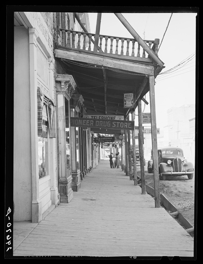
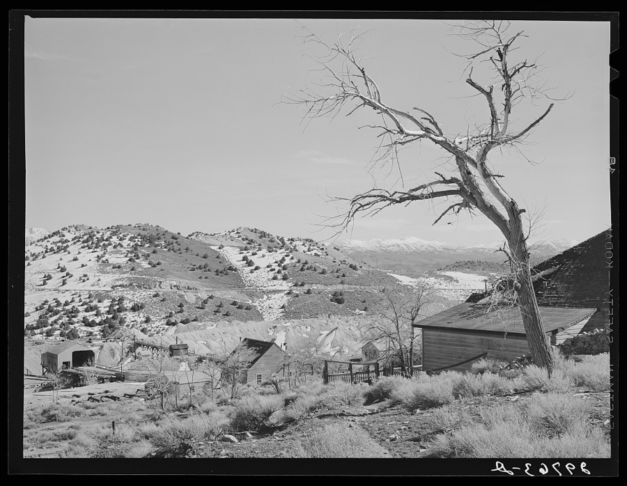
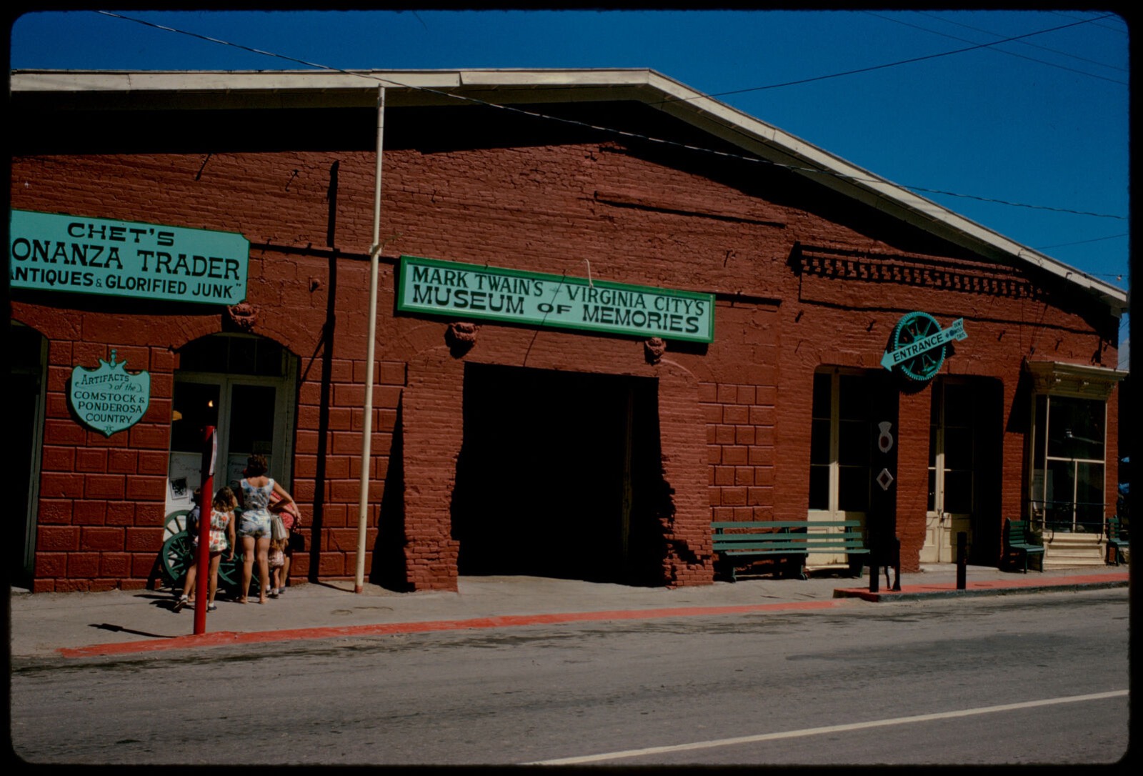
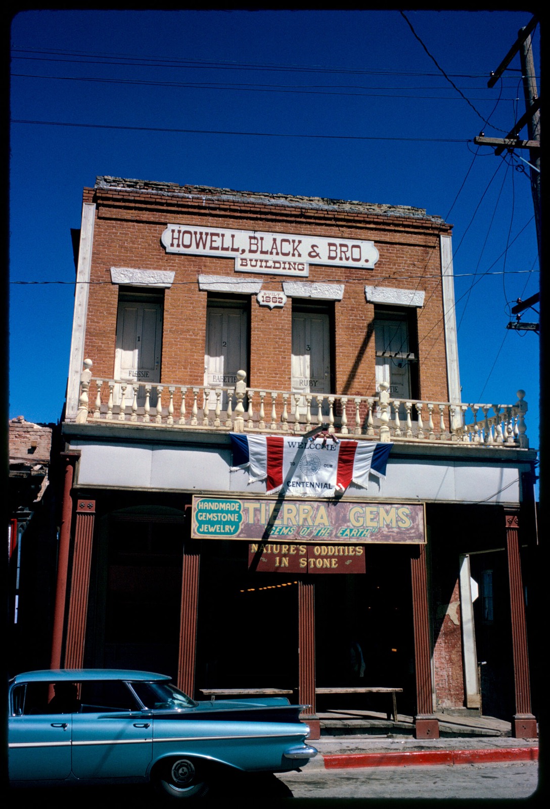
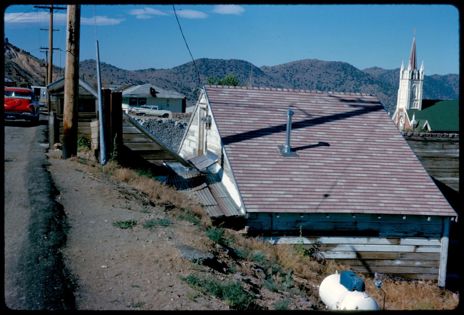
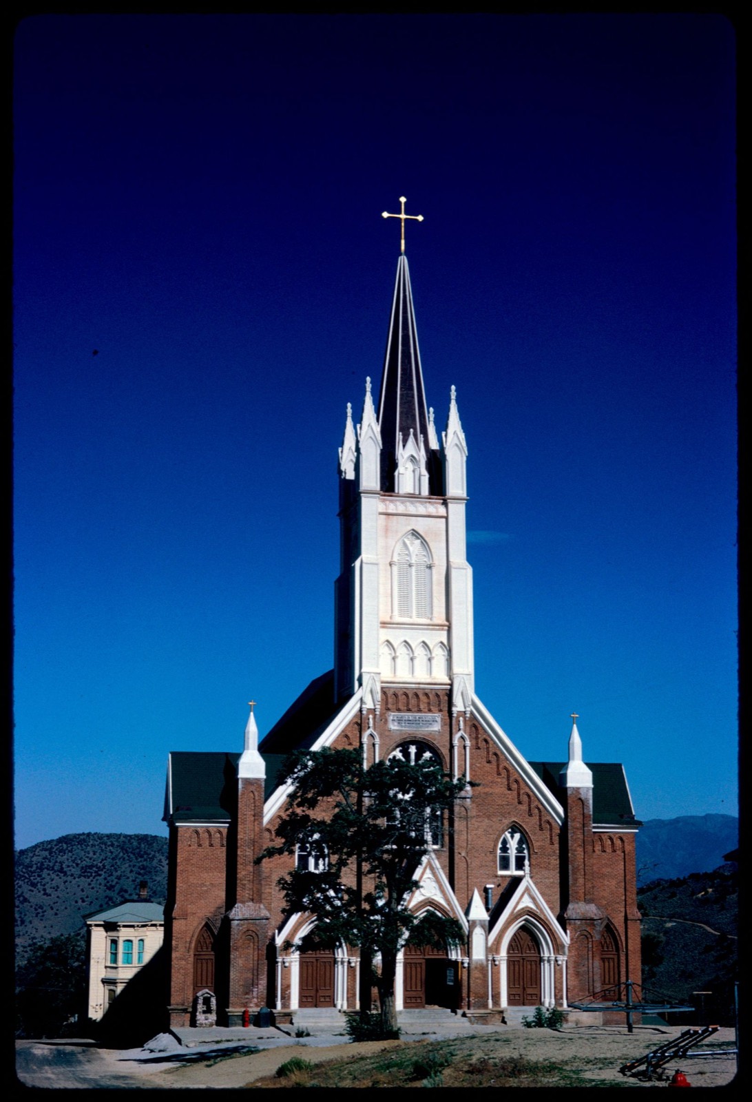
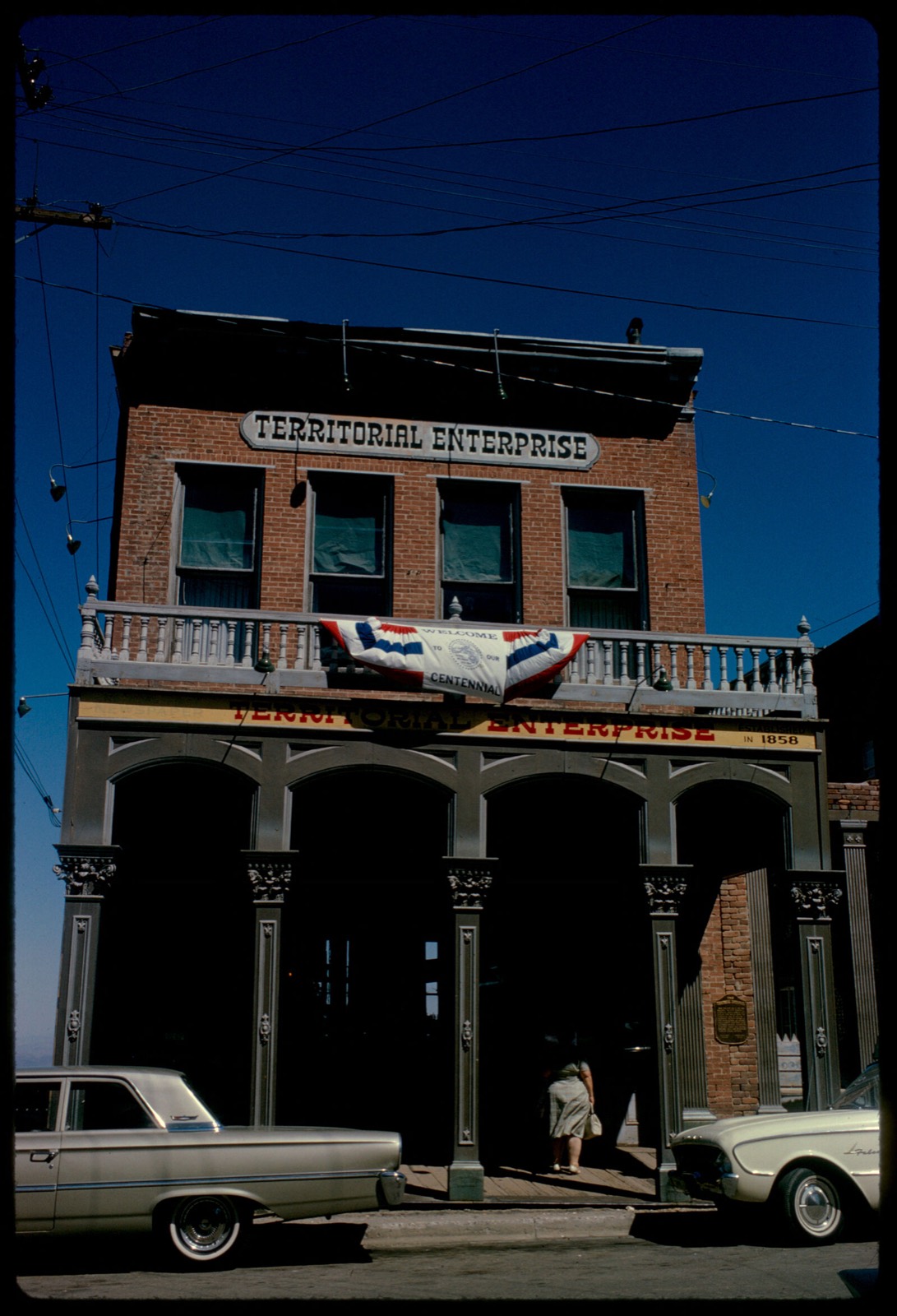
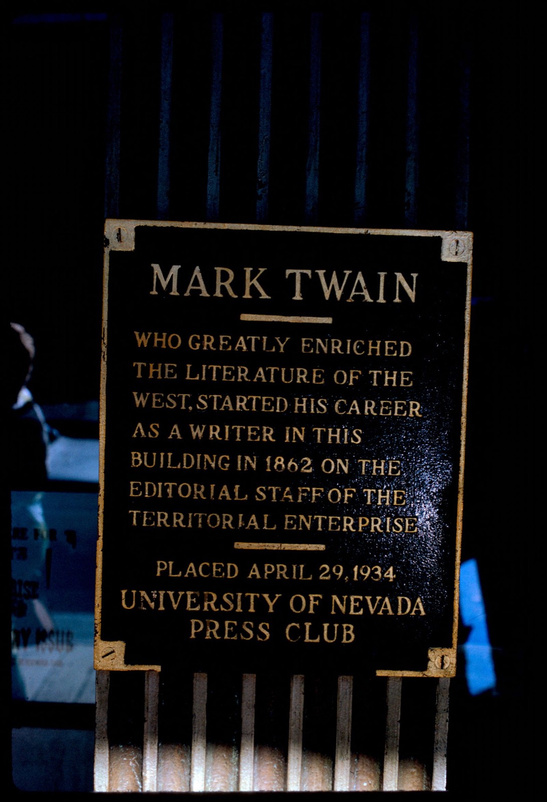
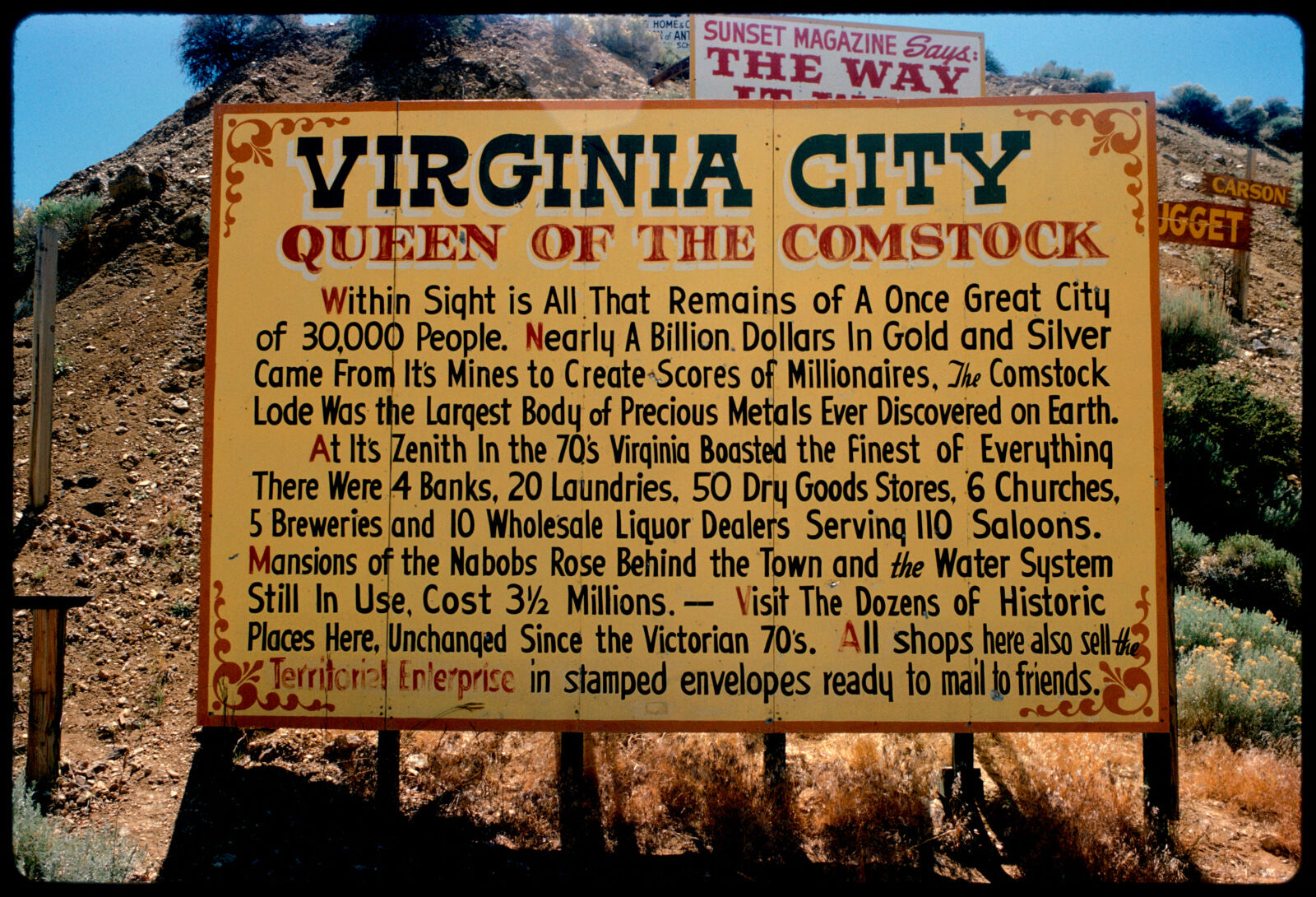
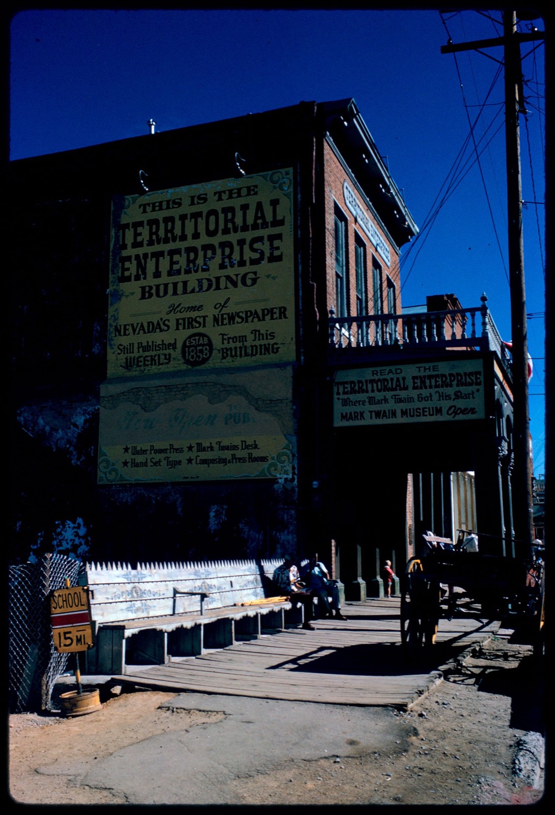
Taken for the Office of War Information and the Farm Security Administration, who photographed the country between 1935 and 1944. Works of United States government photographers, with no known restriction on use. Each opens its catalogue record.
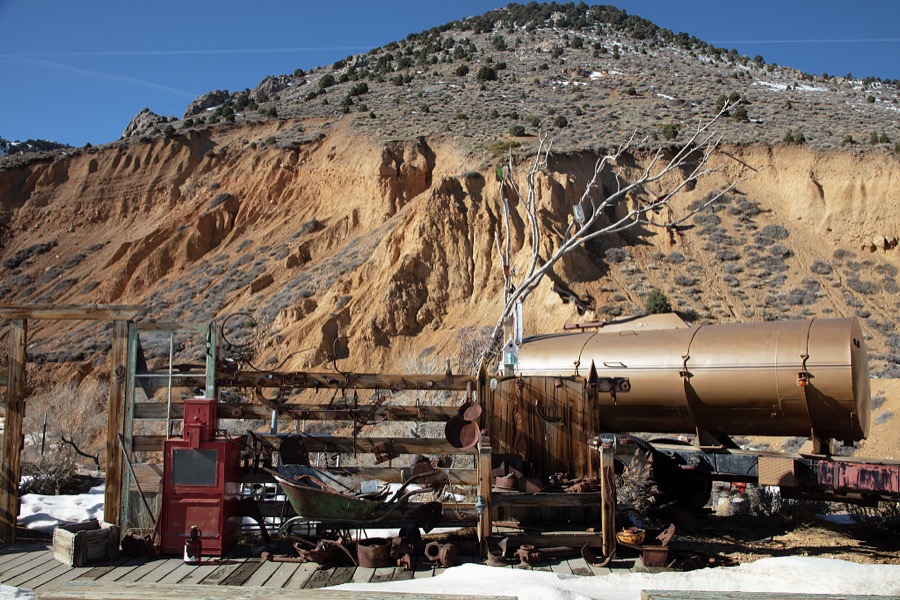
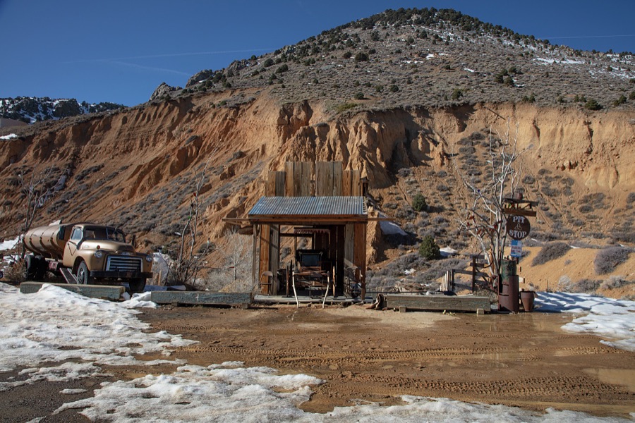
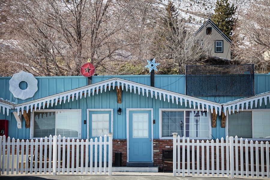
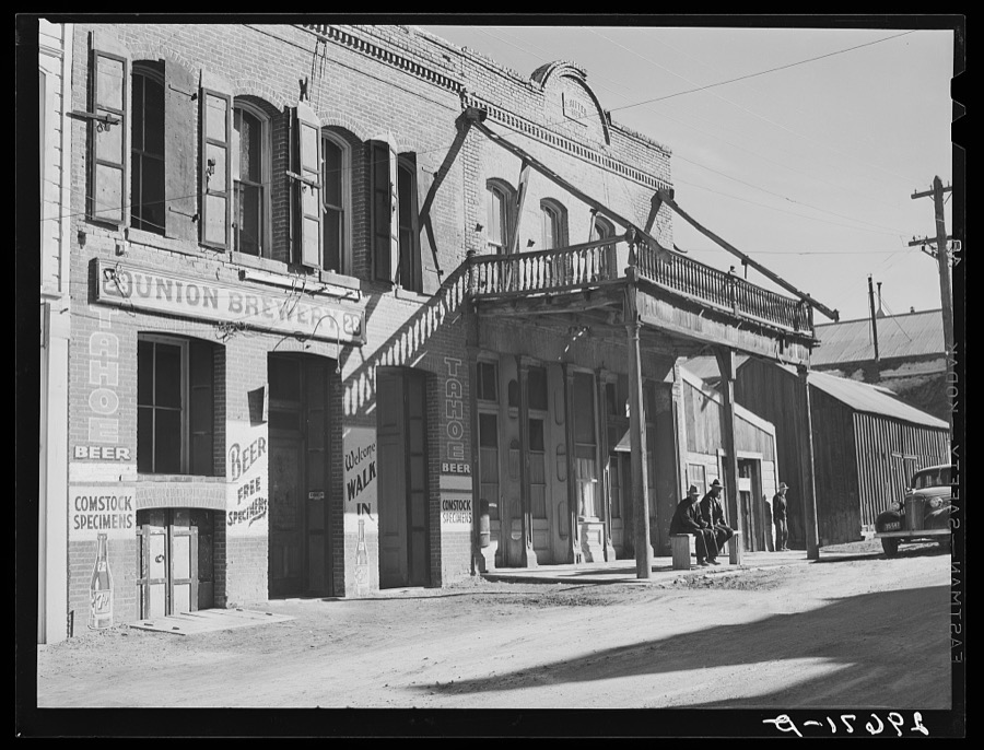
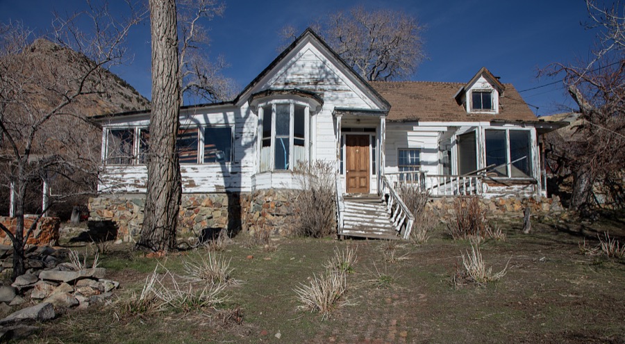
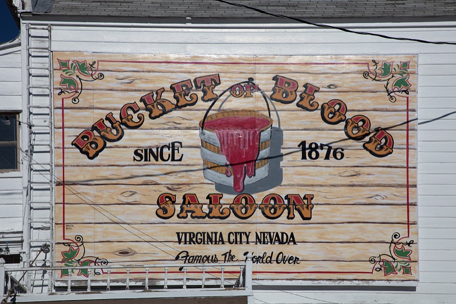
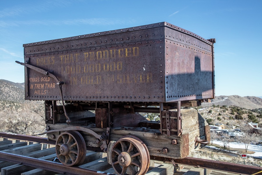
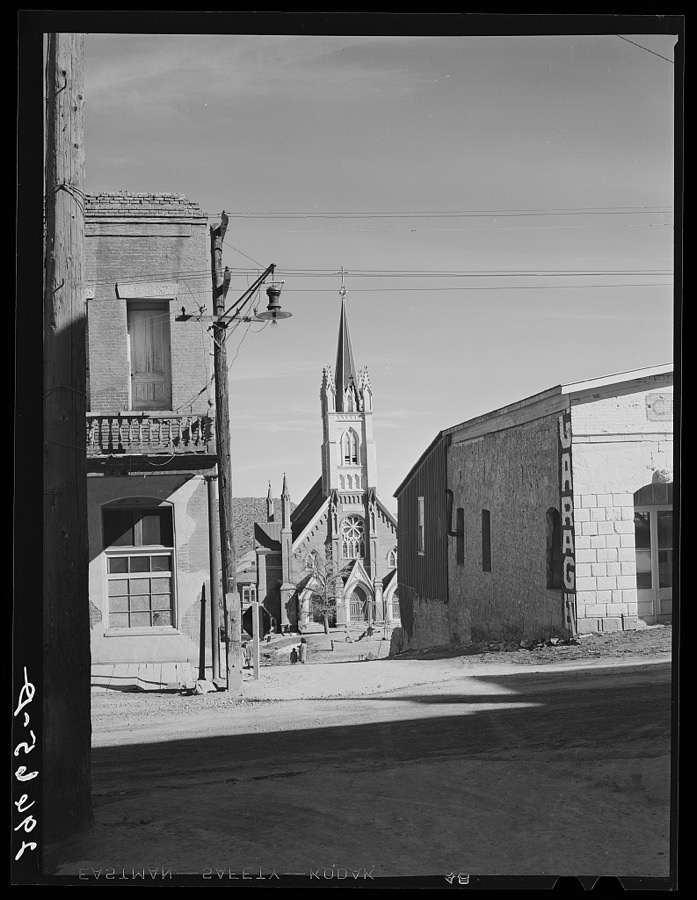
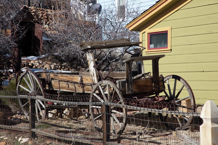
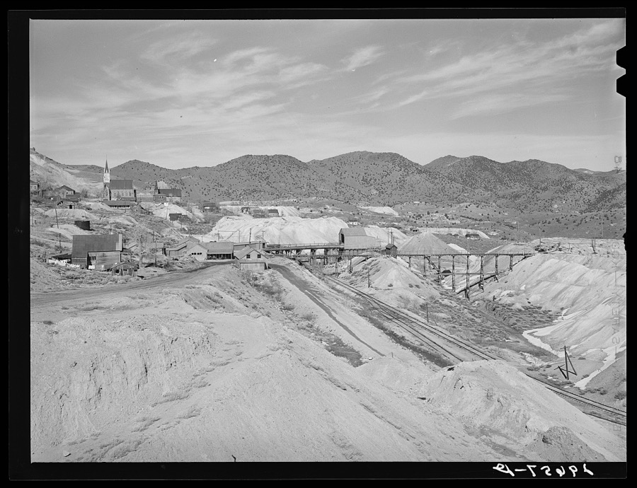
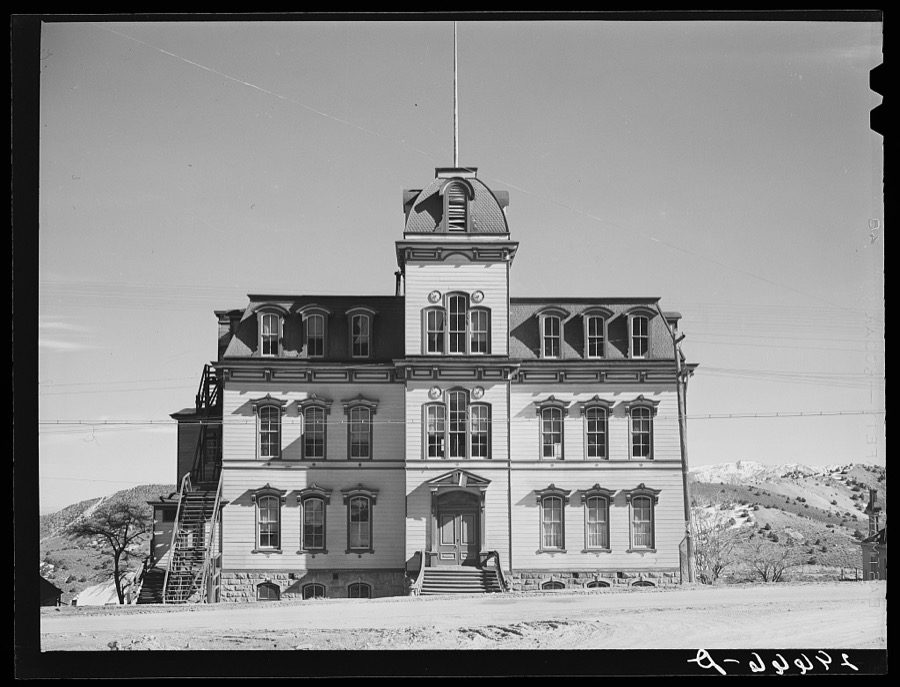
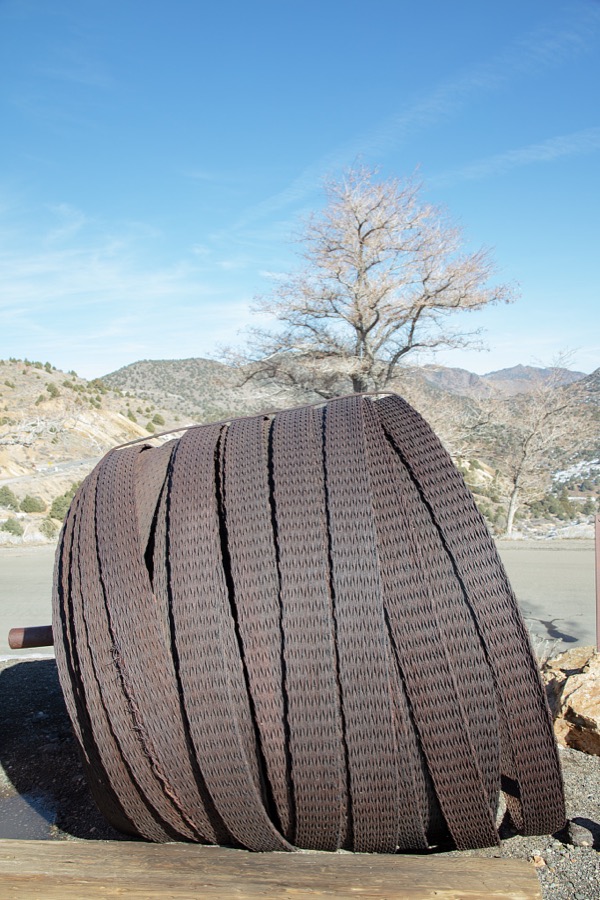
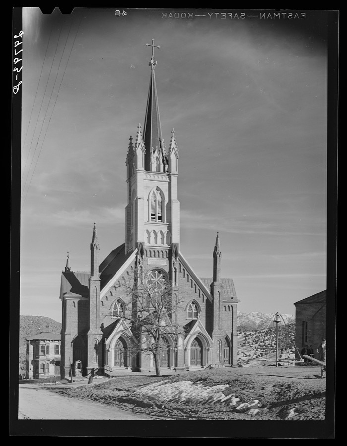
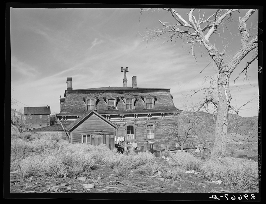
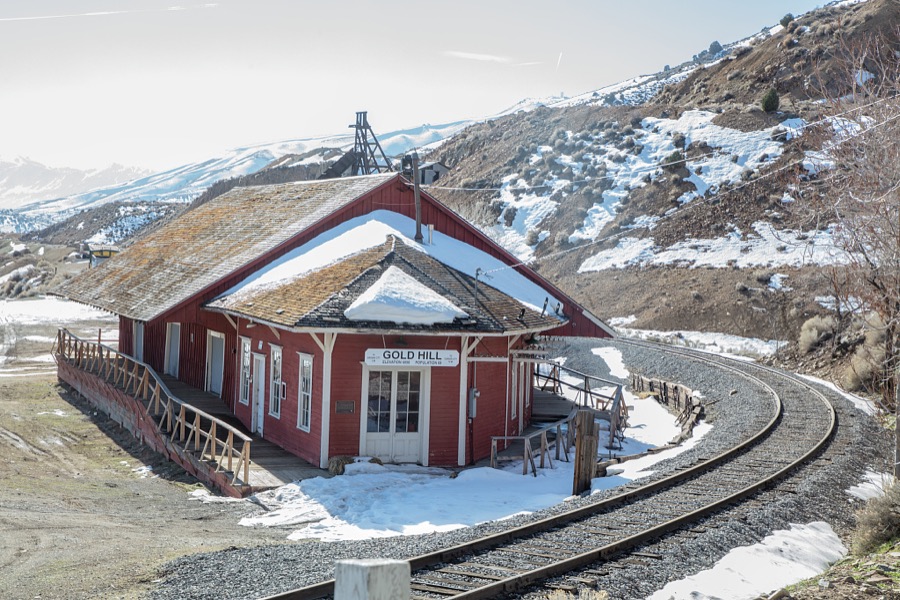
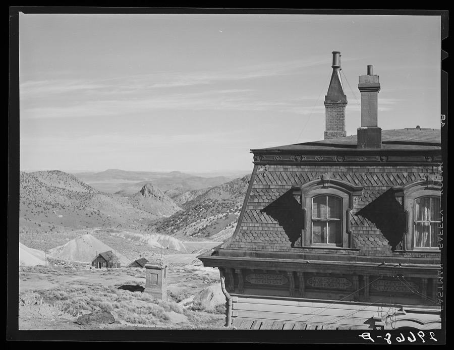
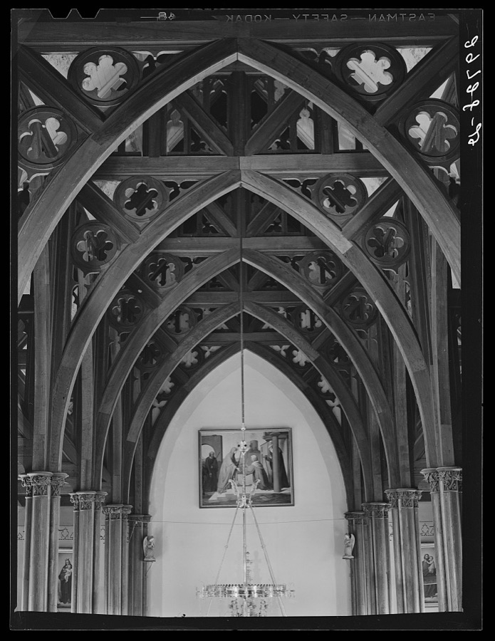
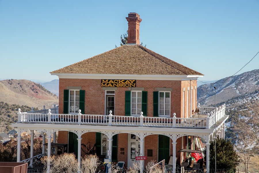
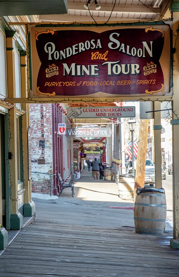
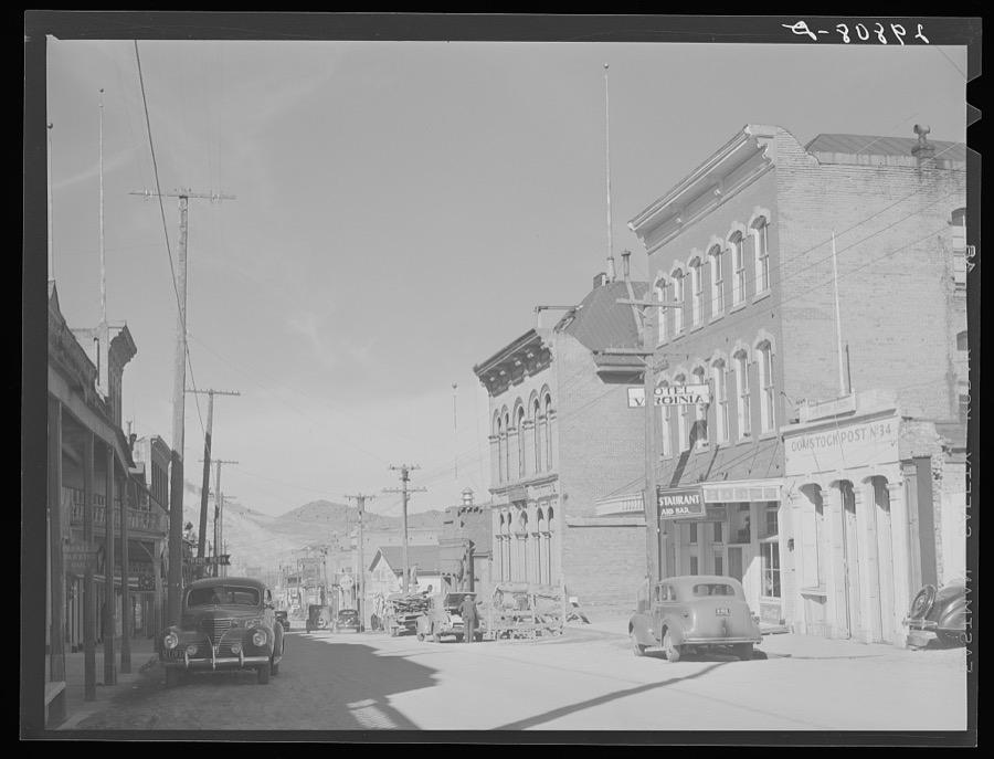
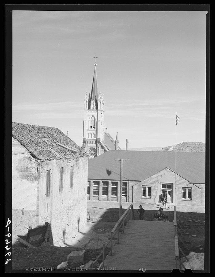
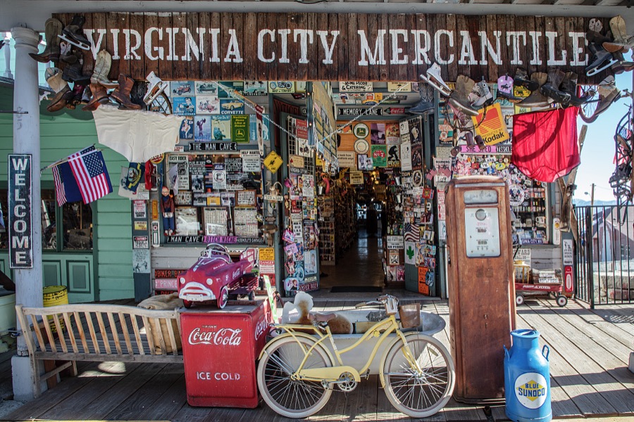
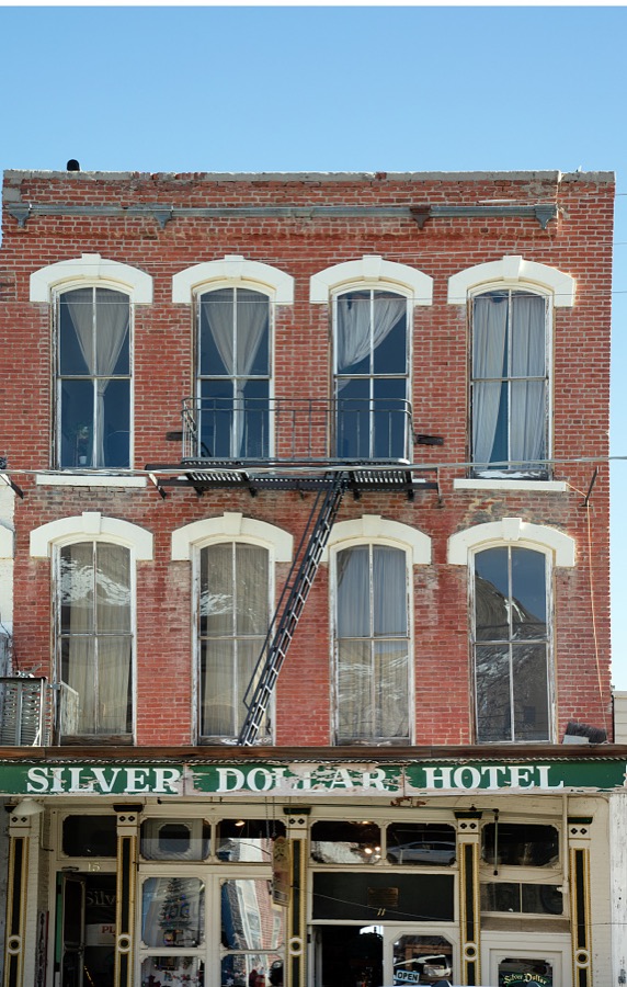
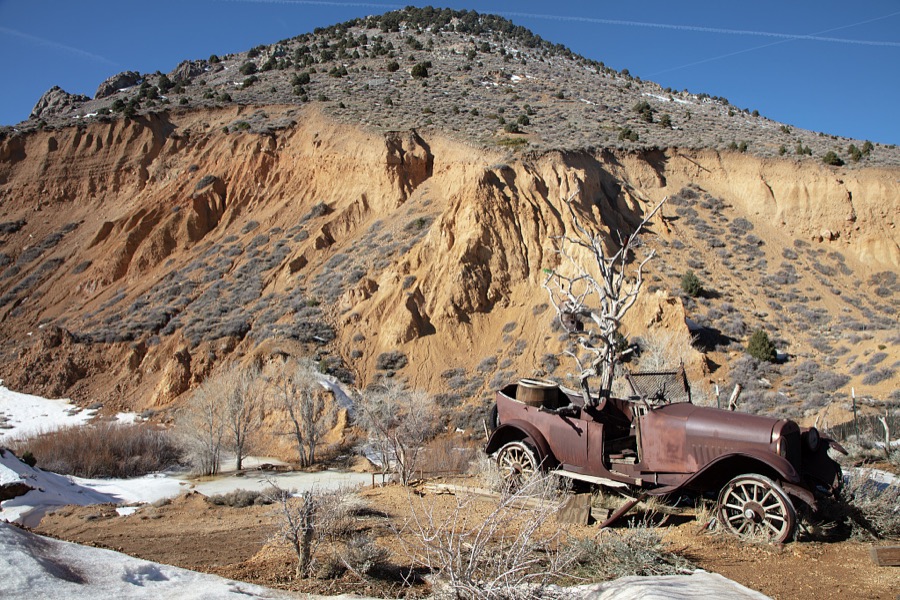
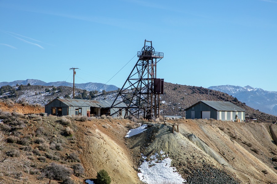
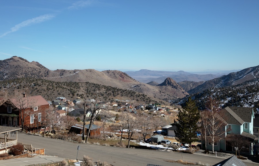
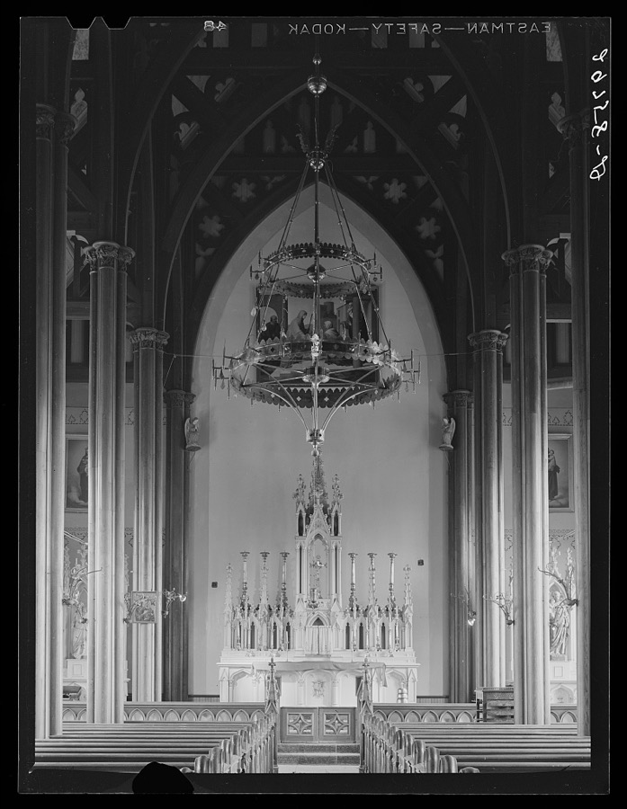
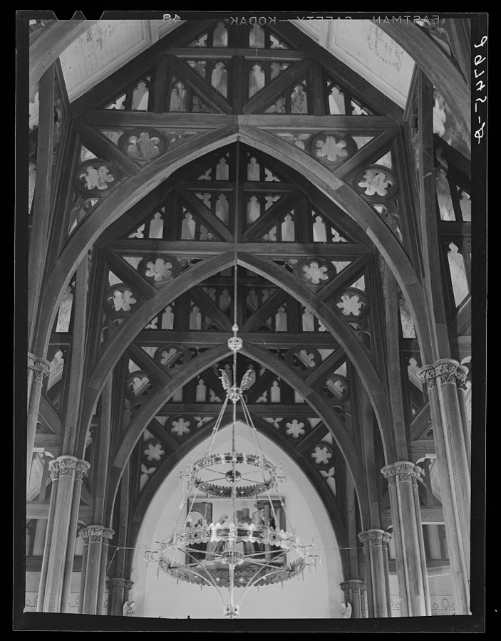
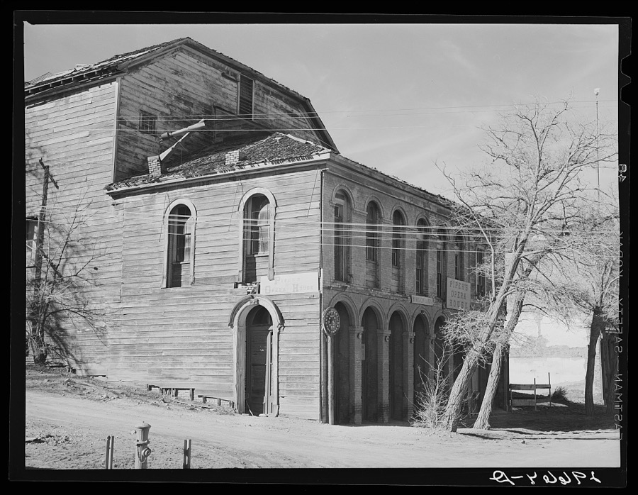
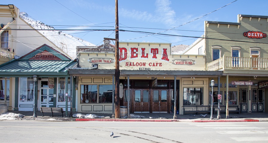
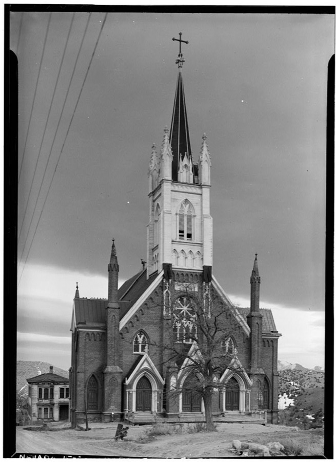
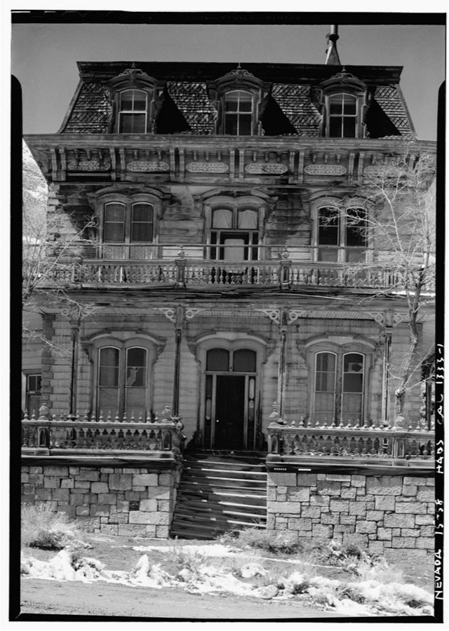
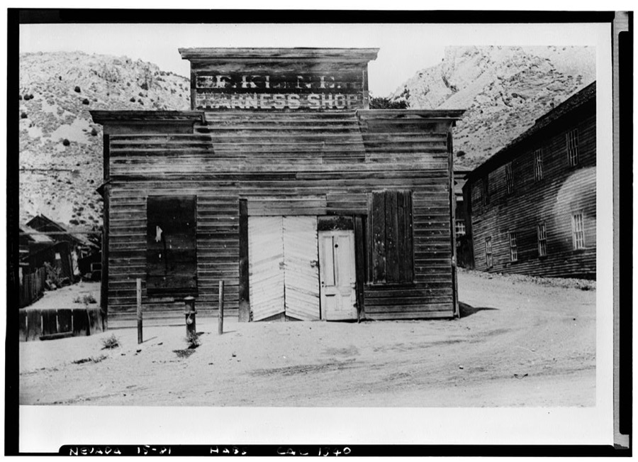
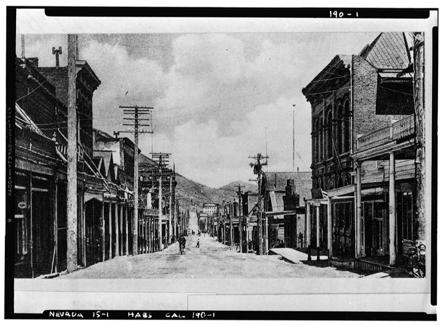
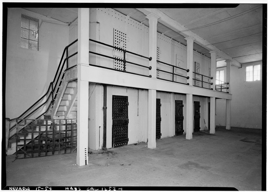
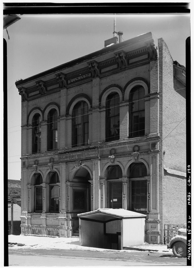
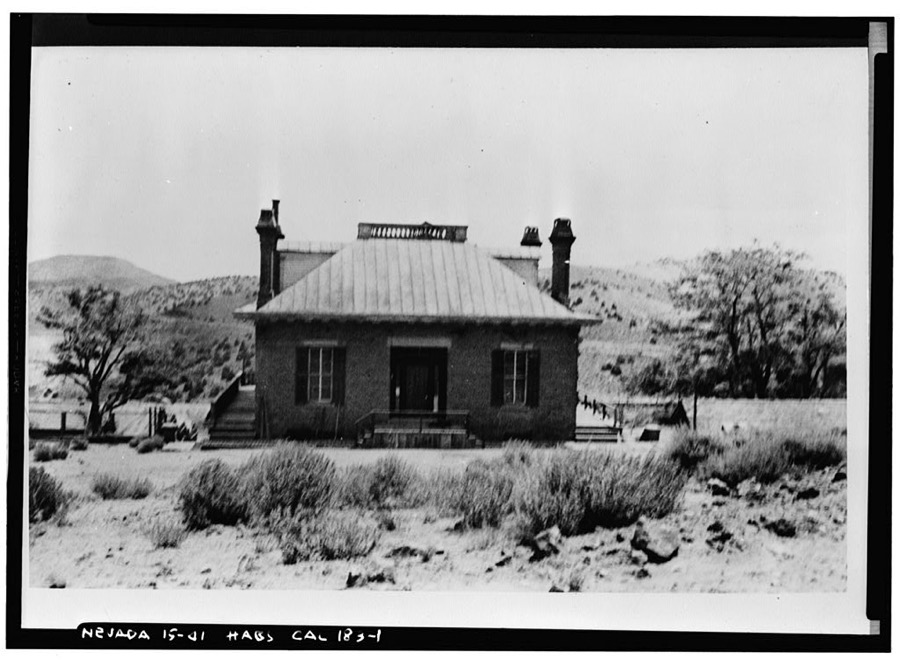
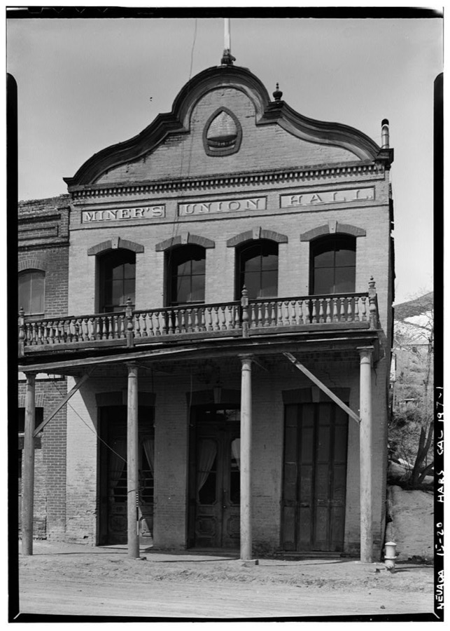
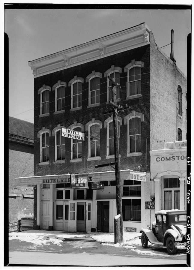
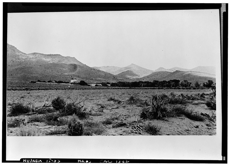
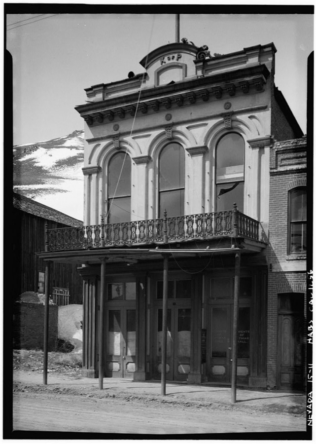
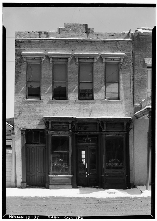
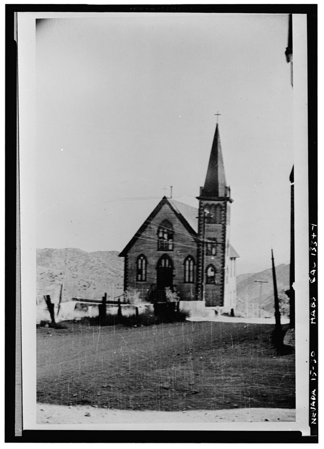
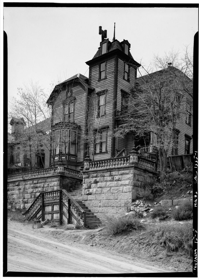
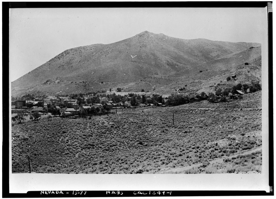
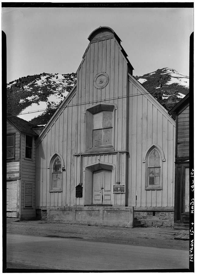
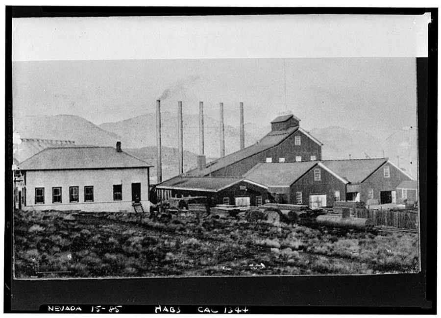
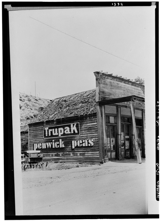
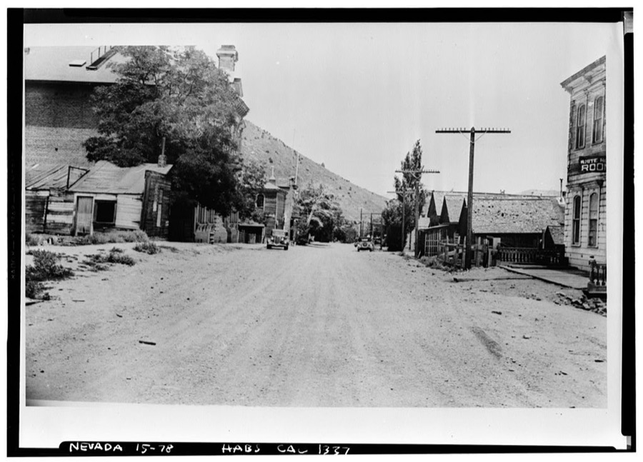
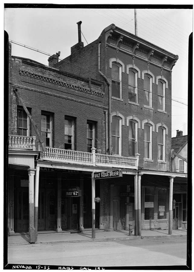
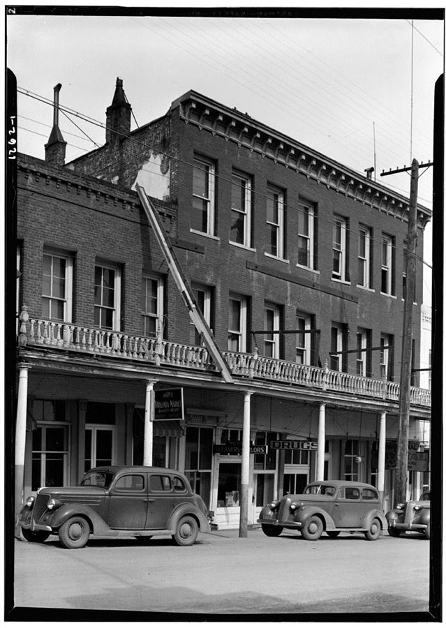
Every property in this county listed on the National Register of Historic Places, with the year it was listed and the federal nomination document.
| Photograph | Property | Type | Listed | Reference |
|---|---|---|---|---|
| Chollar Mansion | building | 1993 | 93000689 | |
 | Derby Diversion Dam | structure | 1978 | 78001727 |
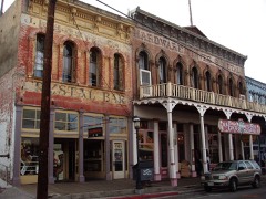 | Fourth Ward School | building | 1966 | 66000458 |
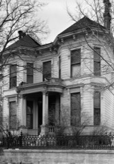 | King-McBride Mansion | building | 1998 | 98001086 |
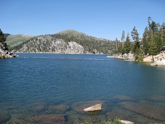 | Marlette Lake Water System | district | 1992 | 92001162 |
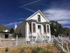 | McCarthy House | building | 1995 | 95001231 |
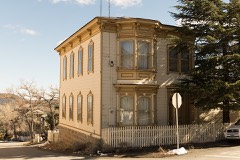 | Parish House | building | 1993 | 93000688 |
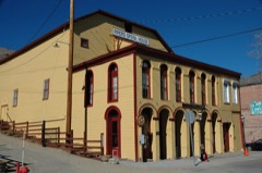 | Piper's Opera House | building | 1997 | 97000217 |
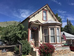 | Henry Piper House | building | 2011 | 11000254 |
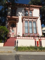 | Piper-Beebe House | building | 1993 | 93000684 |
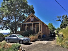 | C. J. Prescott House | building | 1993 | 93000687 |
| St. Mary's in the Mountains Catholic Church | building | 1966 | 66000458 |
| St. Paul's Episcopal Church | building | 1966 | 66000458 |
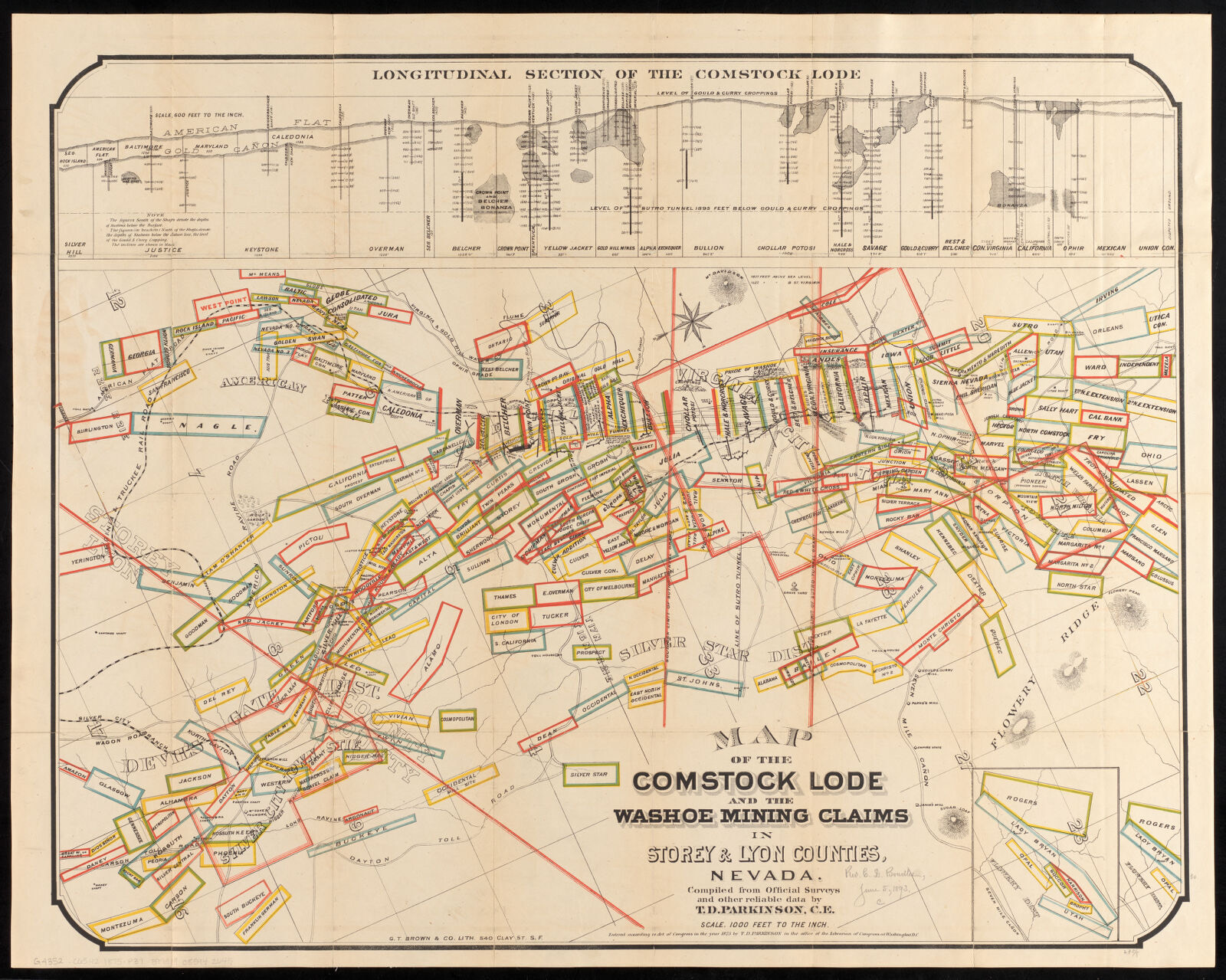
Drawn when these were printed as single large sheets: the town seen from the air, and the county divided into its farms with every owner named. Each opens the original at the Library of Congress.
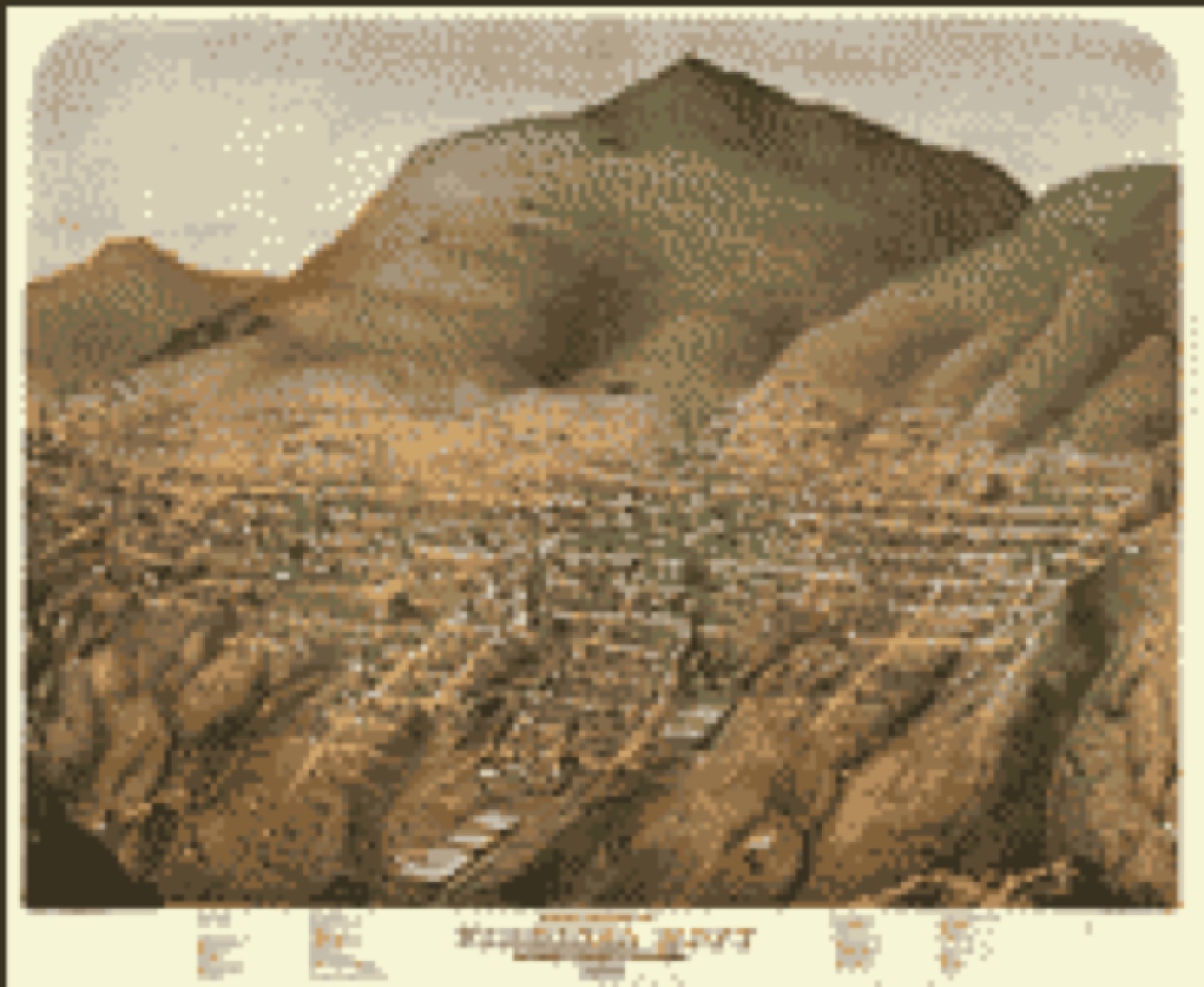
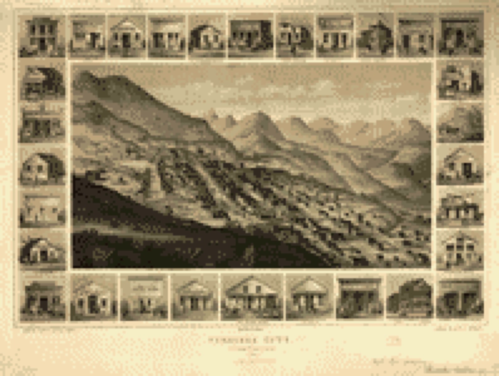
Selected from the Digital Public Library of America's 13 image records catalogued for this county. Every one shown here carries a public-domain status or a licence that permits reuse on a site that carries advertising; non-commercial, share-alike and restricted images are excluded. The selection is spread across the county's towns (at most eight per town), so no single institution's bulk upload crowds out the rest. Each opens the holding library's record, and the complete set at the Digital Public Library of America is one click away.
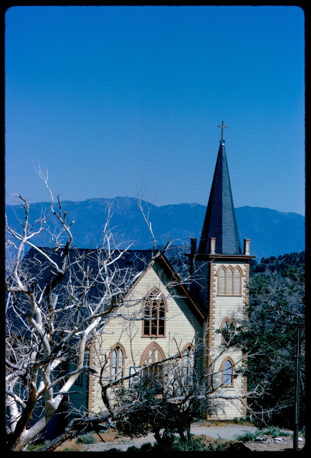
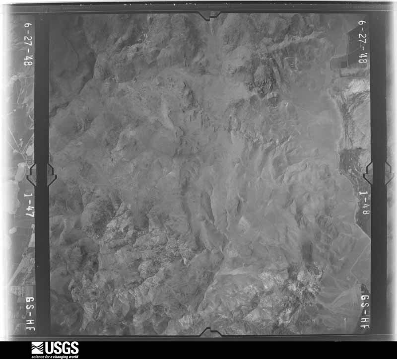
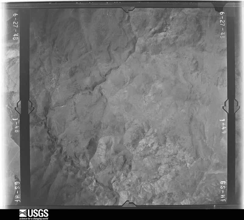
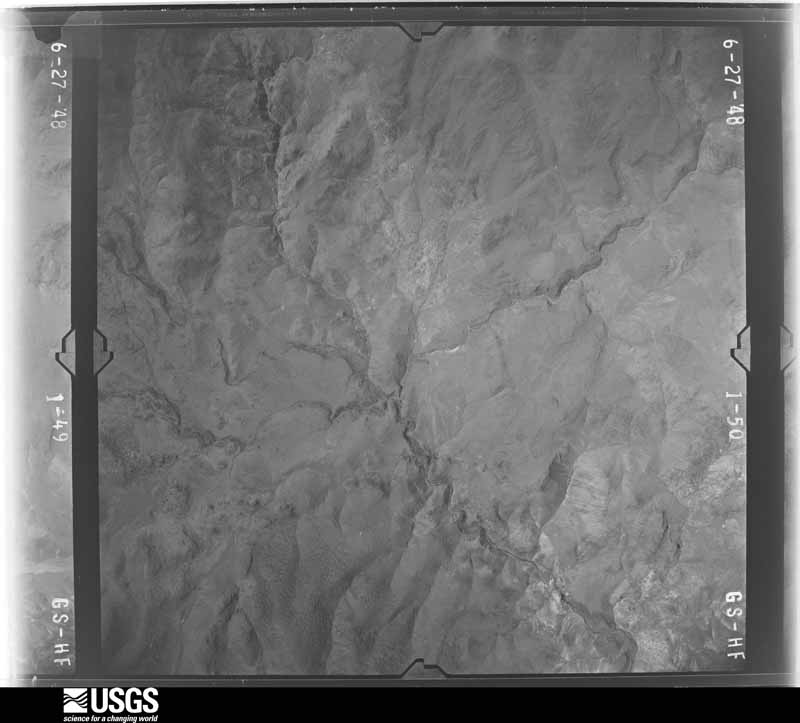
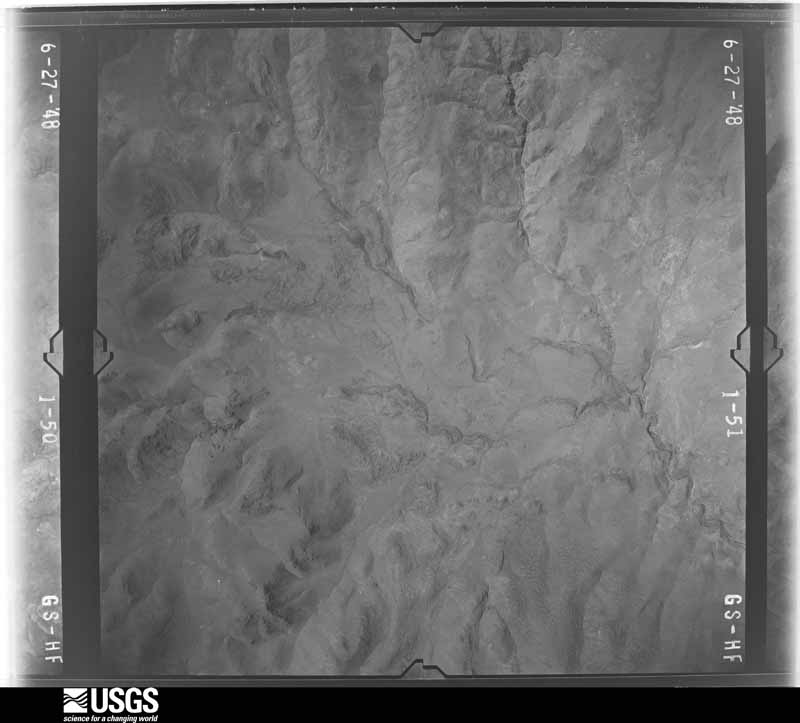
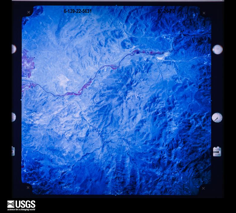
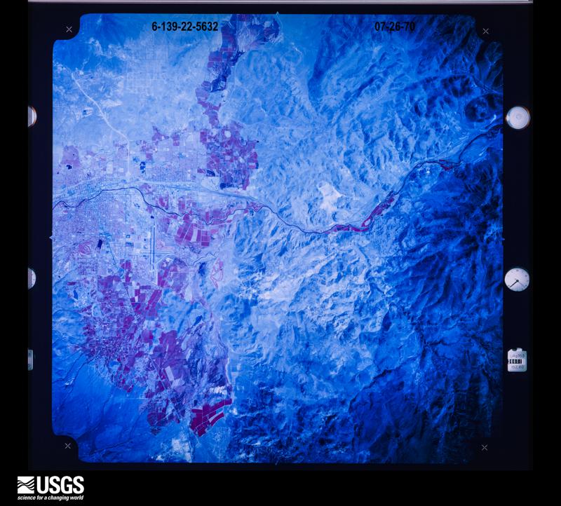
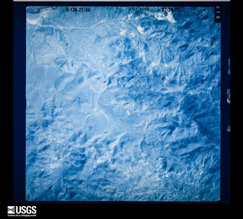
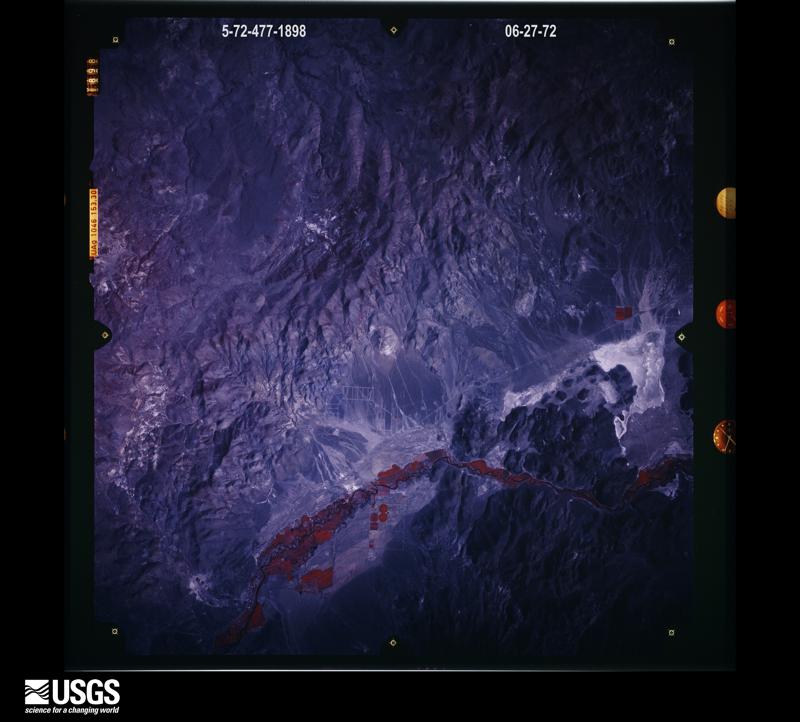
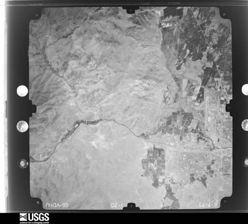
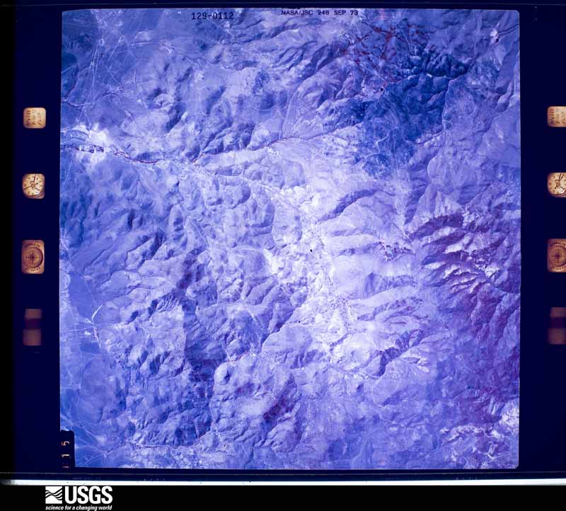
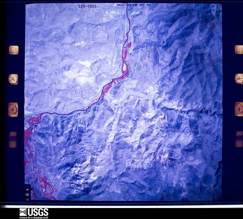
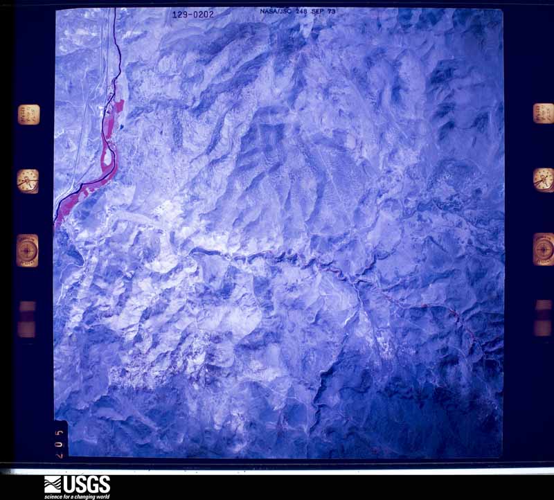
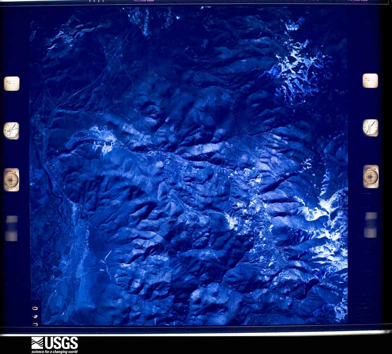
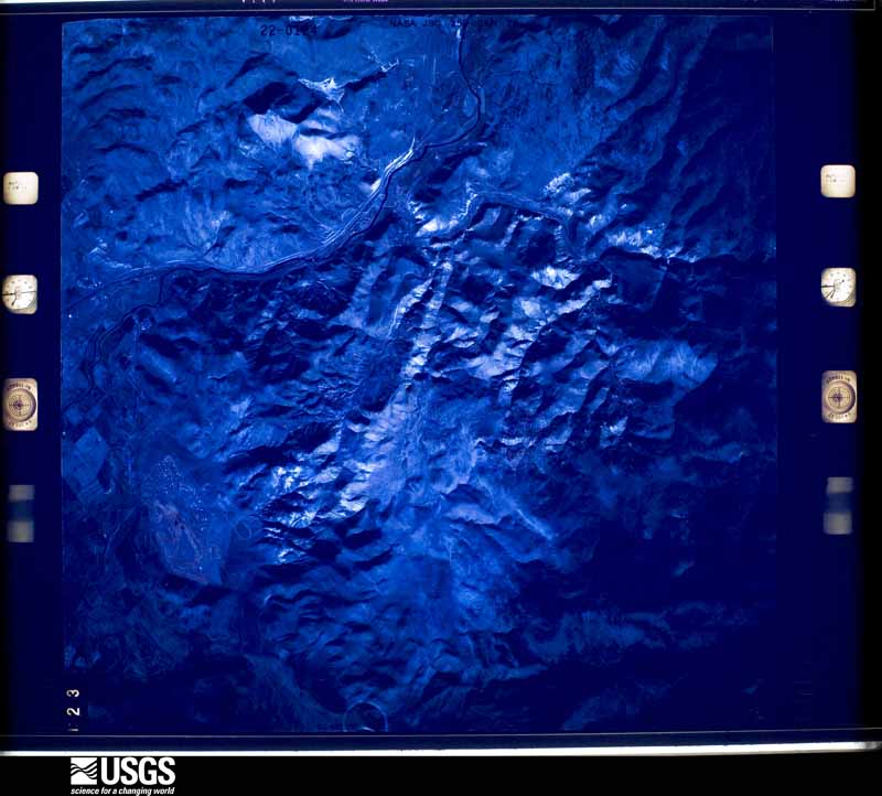
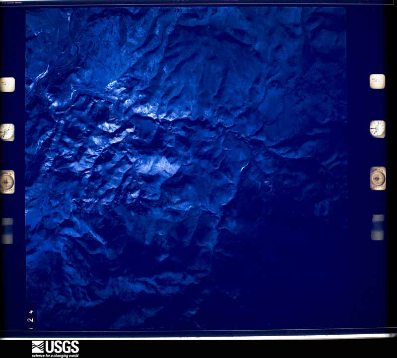
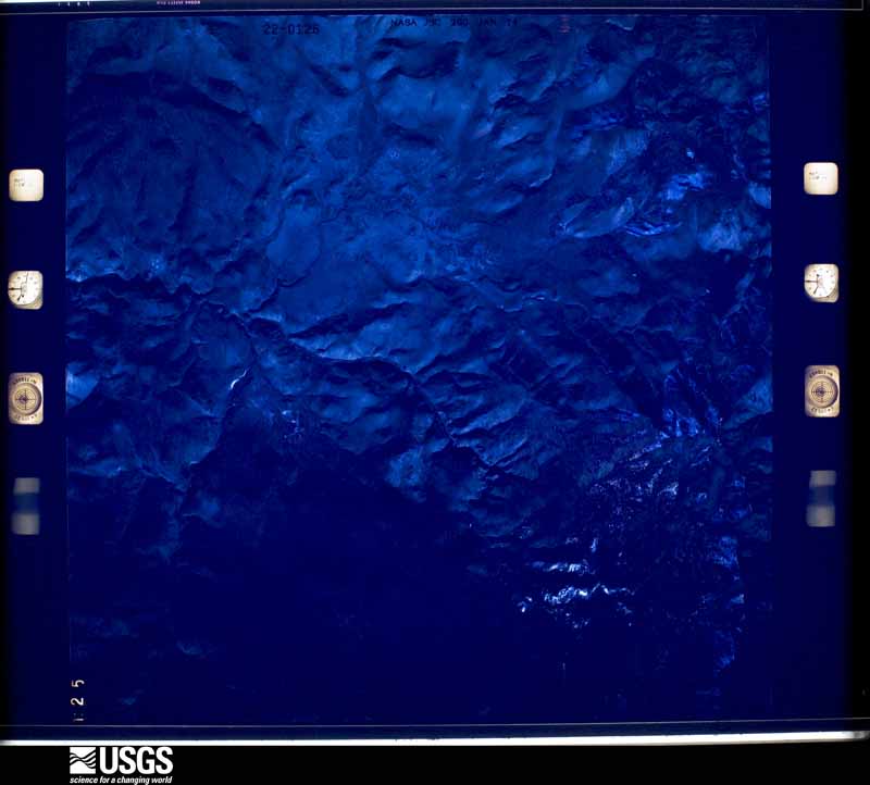
Flown by the U.S. Geological Survey between 1937 and 1989, the Aerial Photo Single Frames collection is the definitive mid-century view of the land: fields, roads and rivers as the camera saw them. The Survey holds 1,414 frames inside the rectangle that bounds this county; the 48 frames below were taken over the county itself, chosen across the decades of flights (at most four a year from that rectangle), so one flight cannot crowd out the rest. The full set is free to browse and download at EarthExplorer under the dataset Aerial Photo Single Frames.
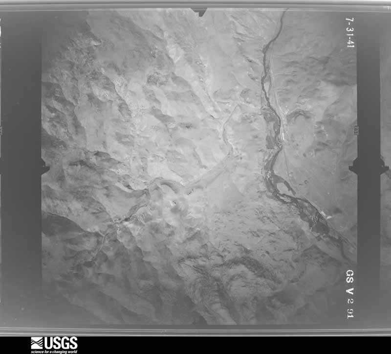
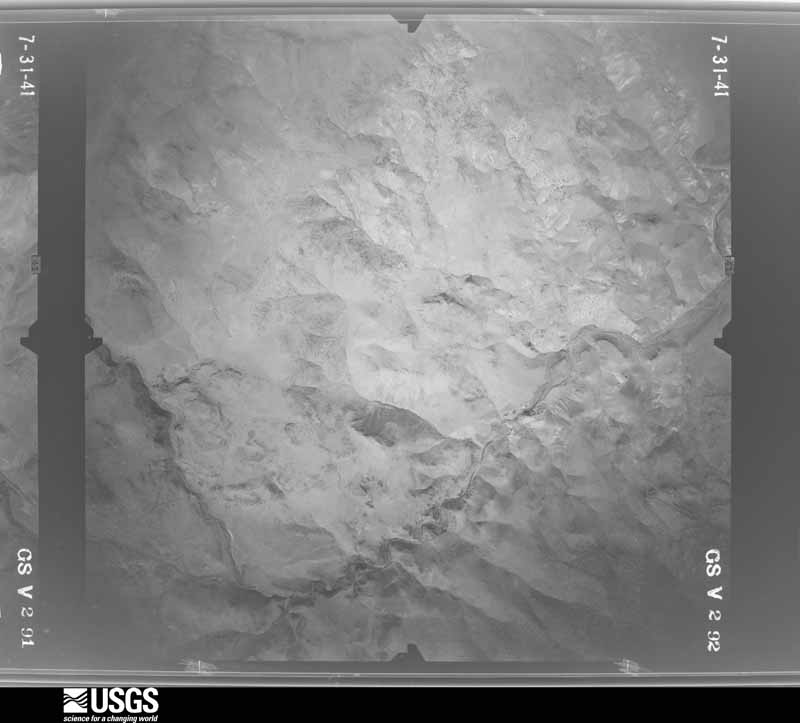
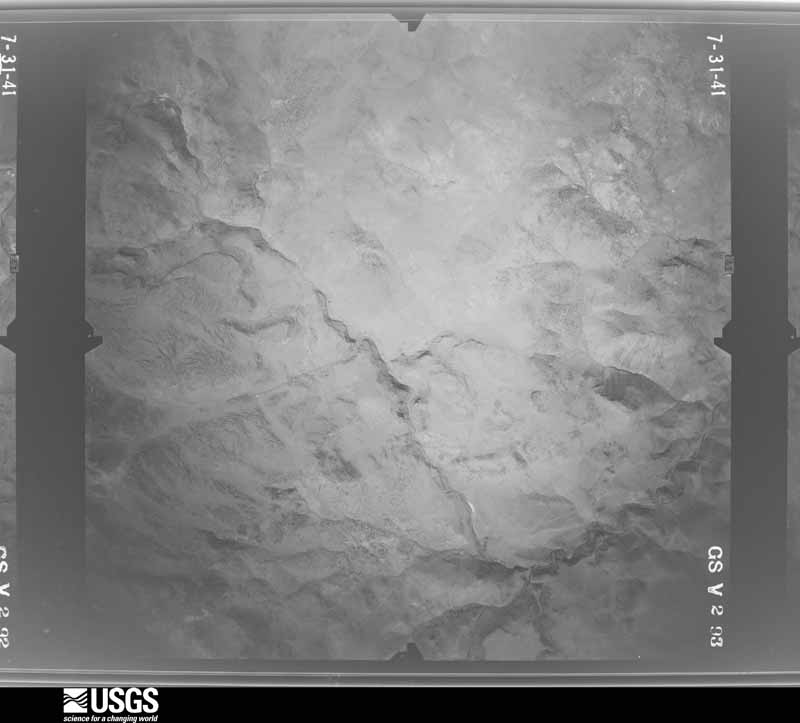
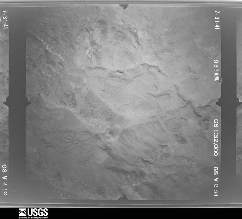
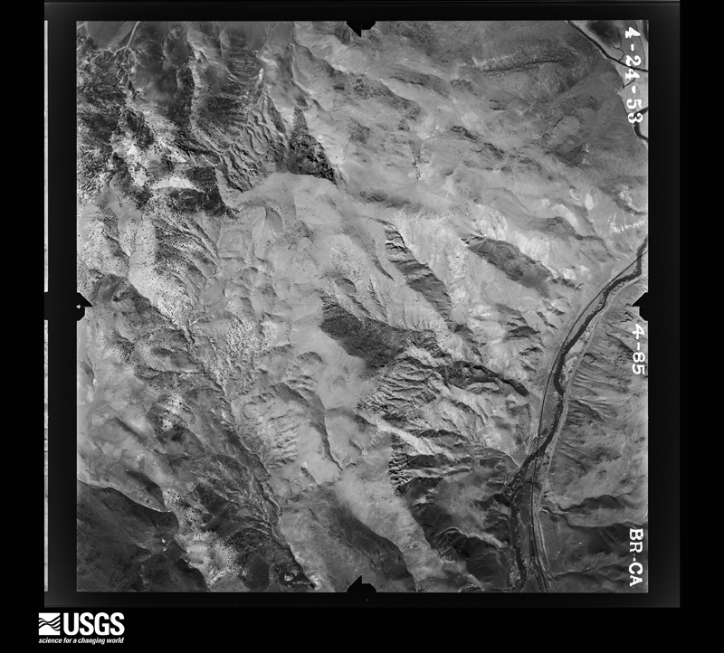
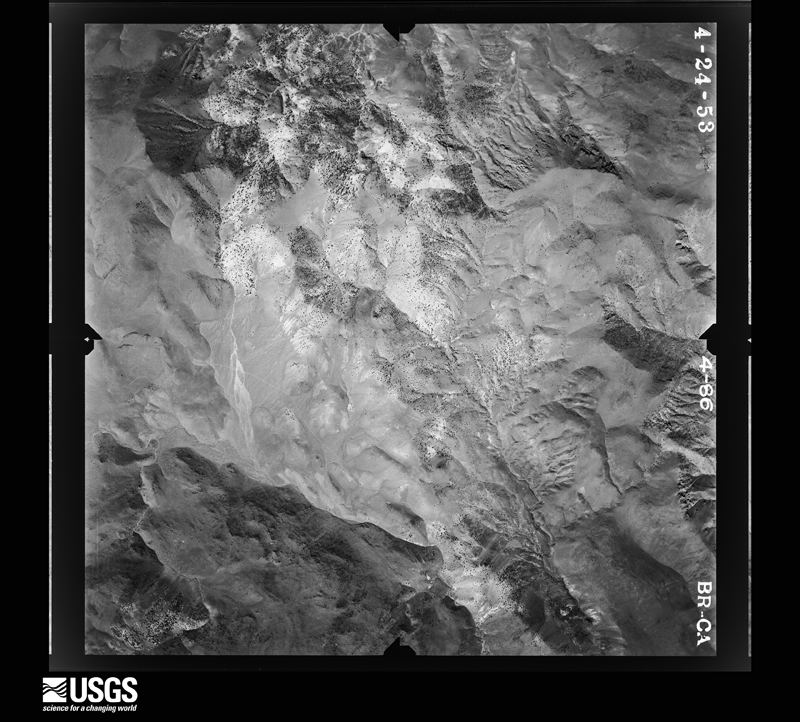
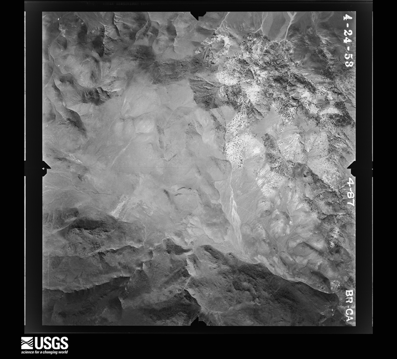
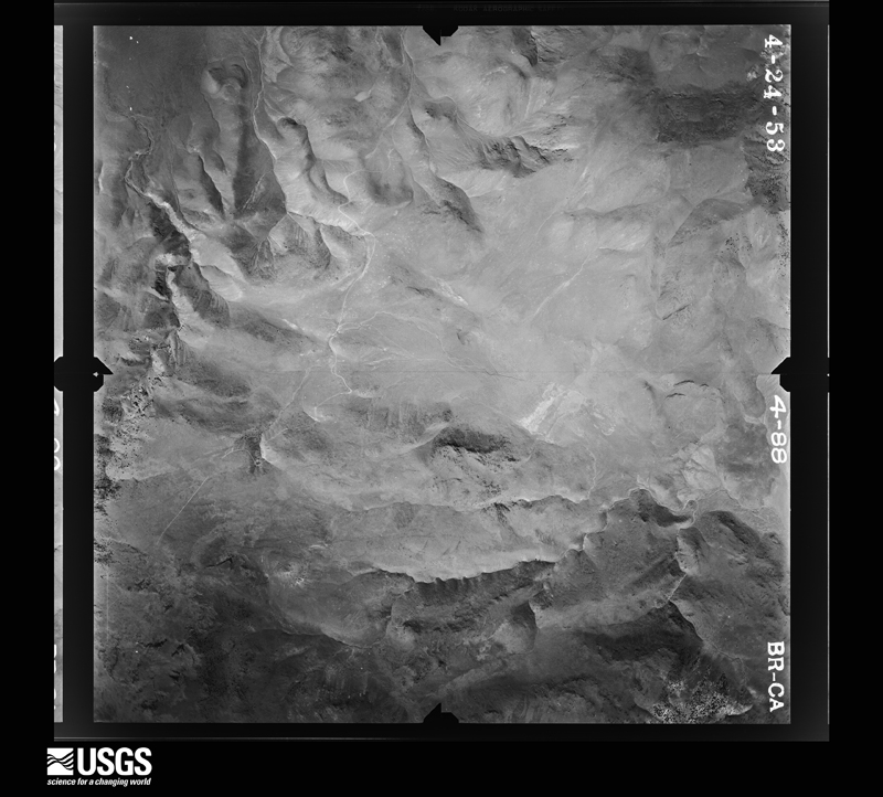
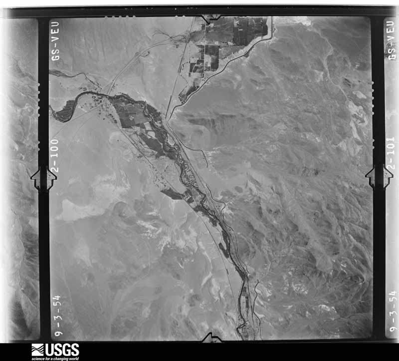
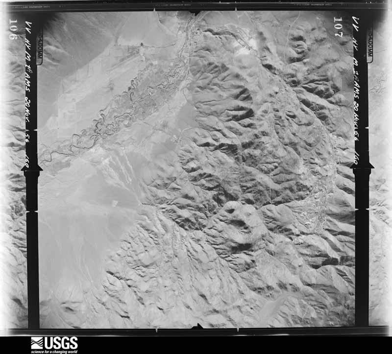
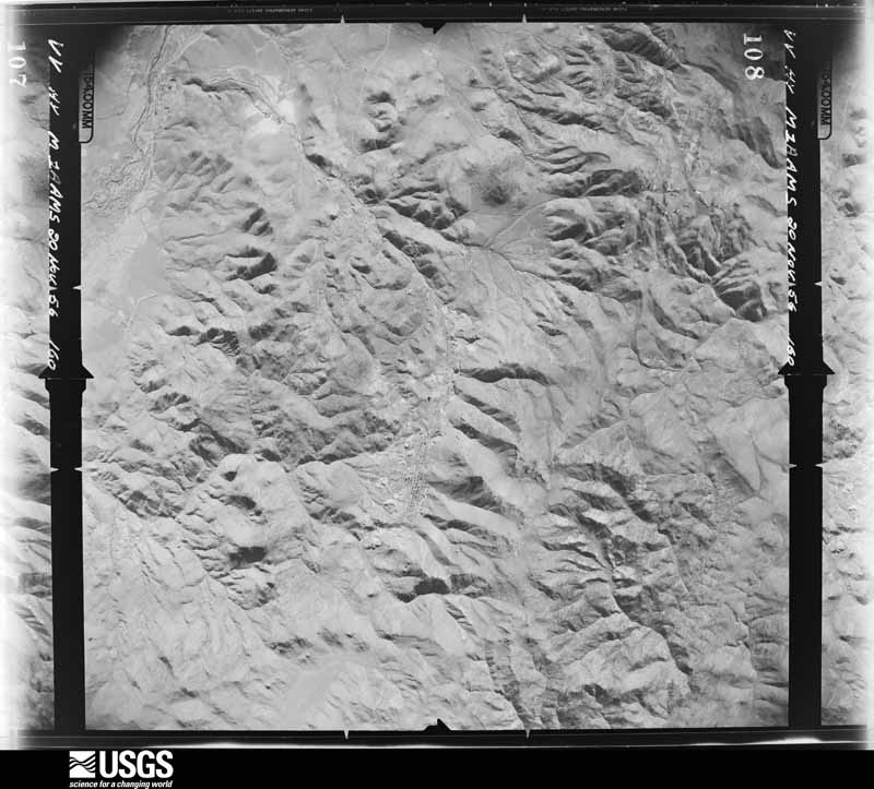
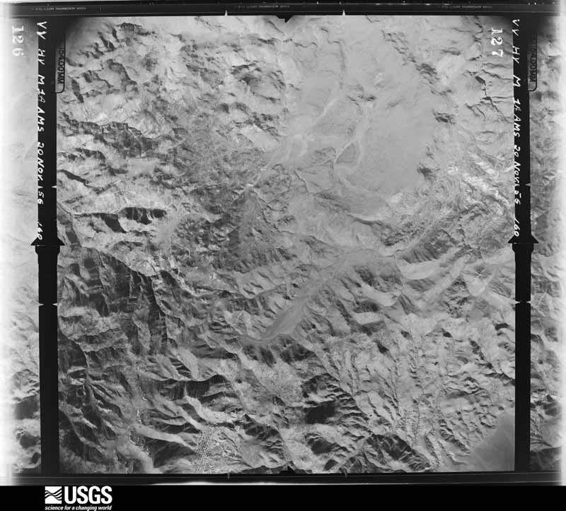
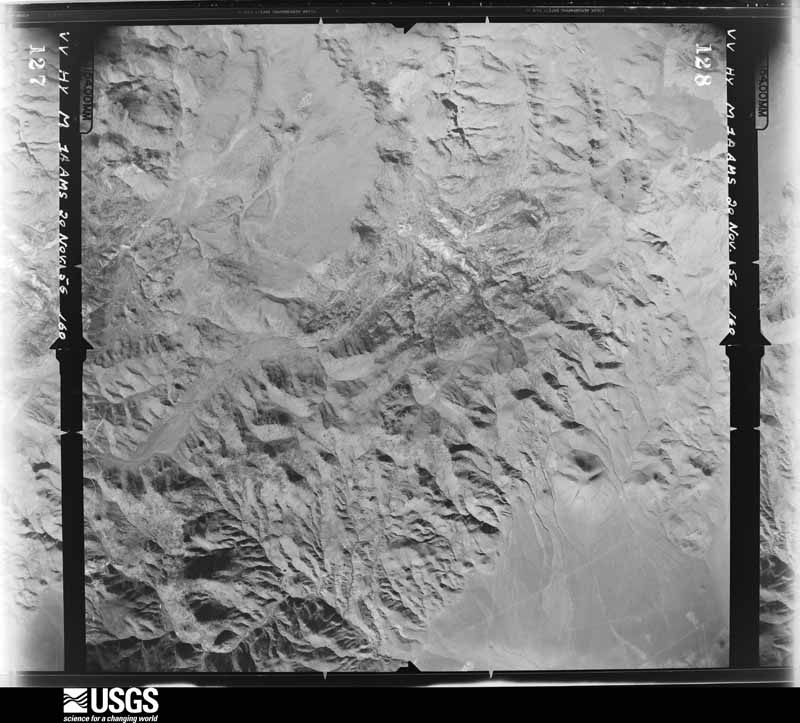
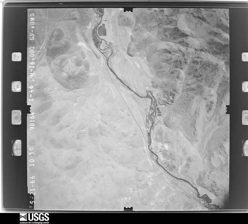
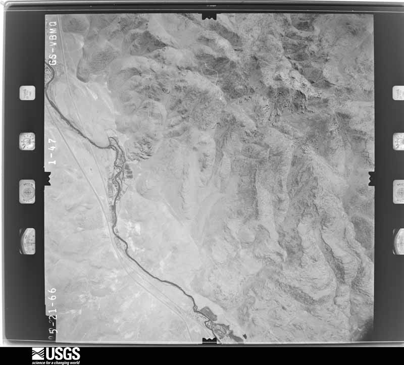
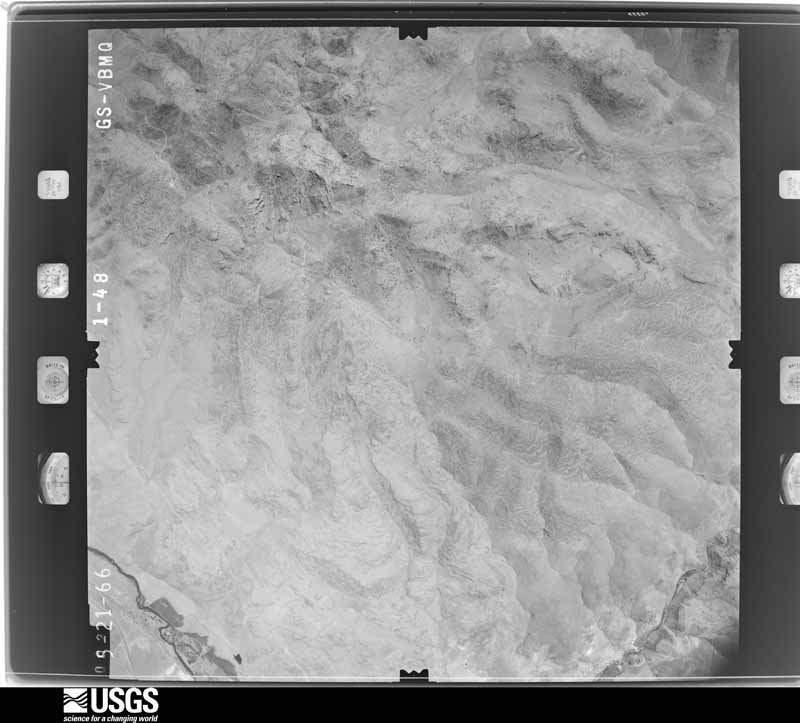
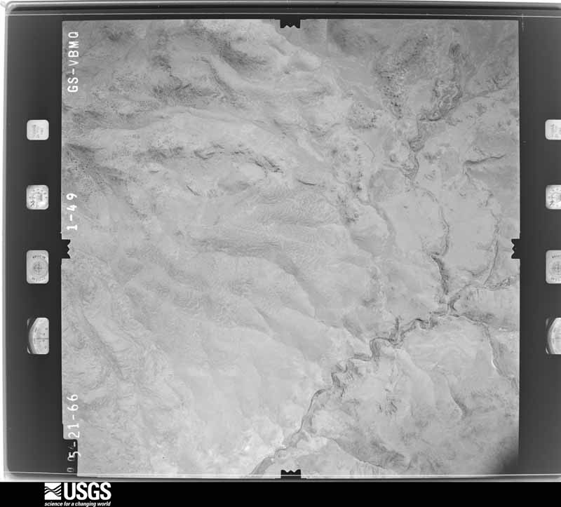
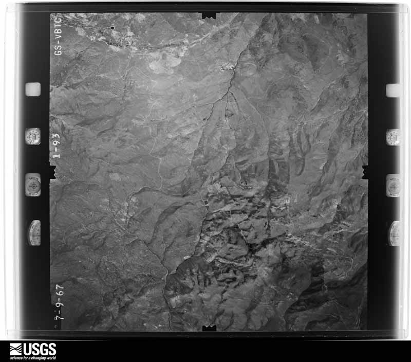
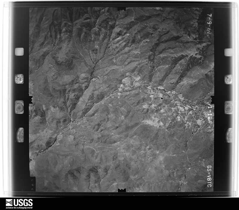
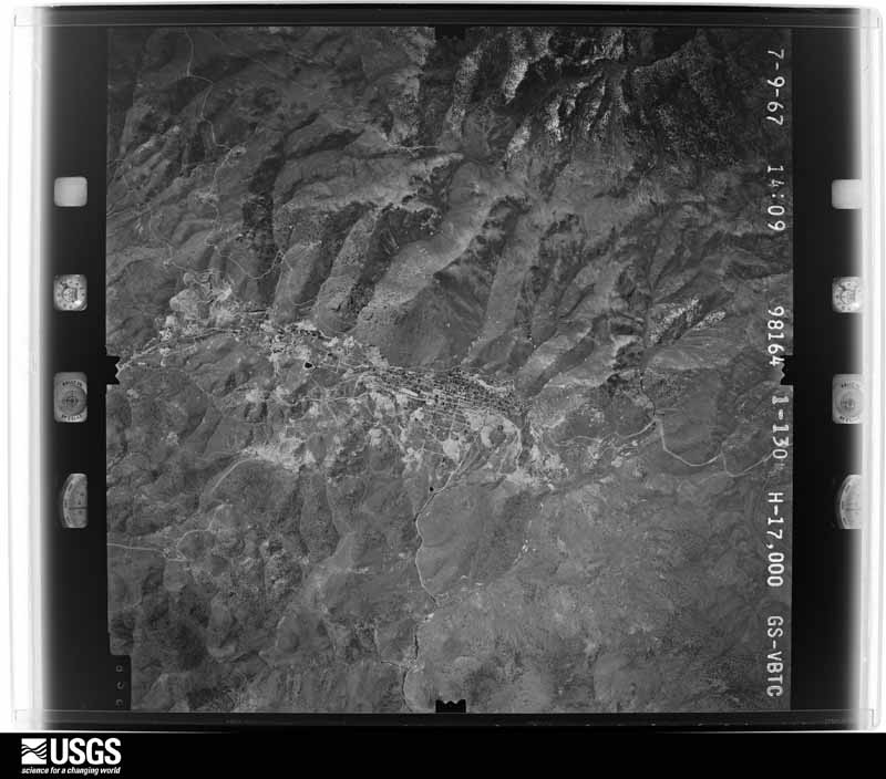
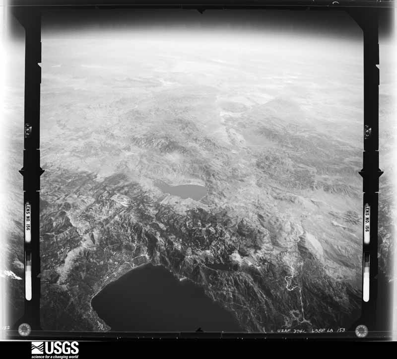
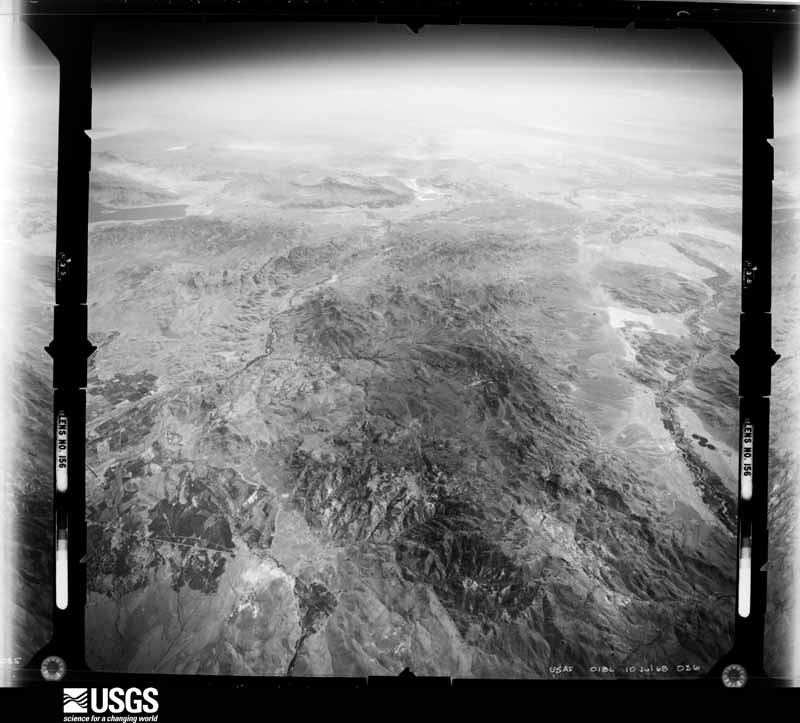
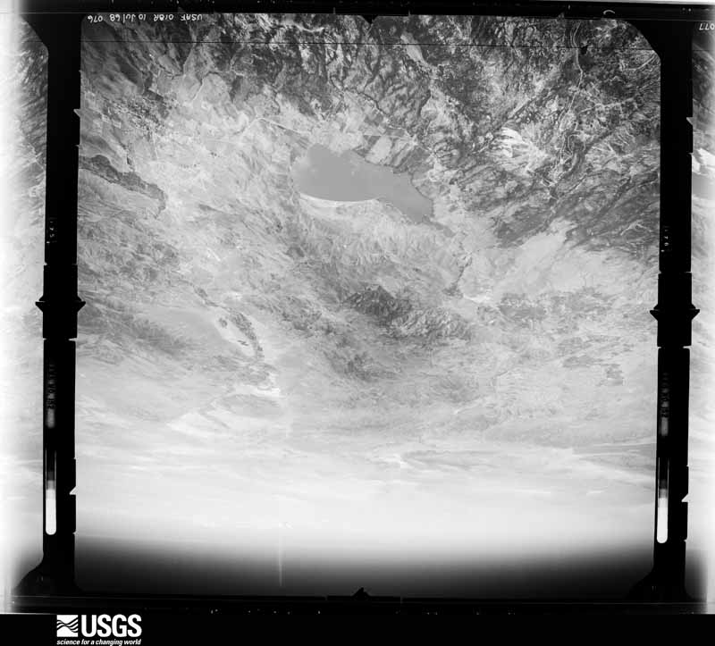
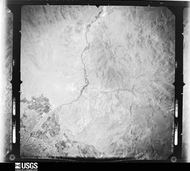
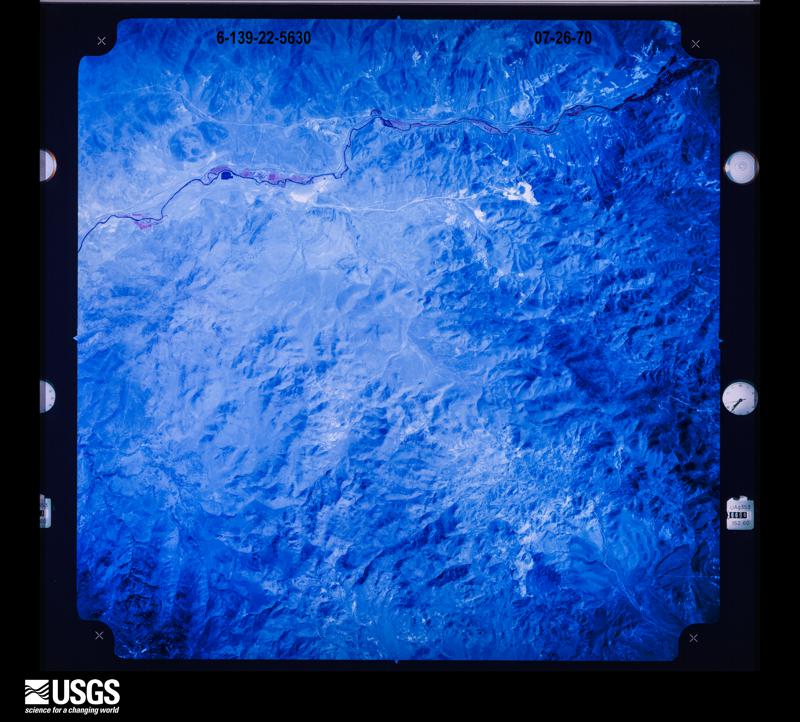
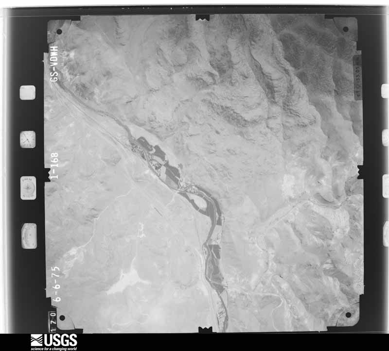
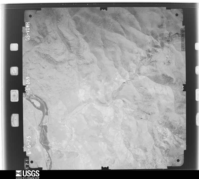
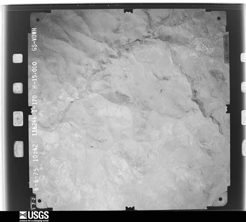
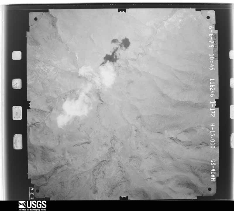
The thermometers that kept this county's weather, and the gages that measured the flow of its streams, as the federal records hold them. The extremes below are measured values from those records, not estimates.
Who lived here in 1950, one enumeration district at a time, as the Census Bureau described each district. Each row opens its official National Archives result, with Population Schedules and ED Maps available there.
Every wildfire the federal occurrence database records inside this county: 101 of them, burning about 31,162 acres. 25 started naturally and 3 were recorded as arson. Each settlement page carries the fires within five miles of it.
| Reported cause | Fires |
|---|---|
| Missing data/not specified/undetermined | 32 |
| Natural | 25 |
| Equipment and vehicle use | 13 |
| Debris and open burning | 10 |
| Recreation and ceremony | 5 |
| Firearms and explosives use | 4 |
| Arson/incendiarism | 3 |
| Smoking | 3 |
| Fireworks | 2 |
| Power generation/transmission/distribution | 2 |
| Railroad operations and maintenance | 1 |
| Other causes | 1 |
The five largest, by the area the report gives. None of them was recorded as arson.
| Date | Cause | Size | Reported by | Name on the report |
|---|---|---|---|---|
| 23 July 1999 | Missing data/not specified/undetermined | 15,584 acres | Nevada Division of Forestry - Western Region | LOCKWOOD |
| 29 June 2000 | Natural | 7,597 acres | Carson City District Office | RAMSEY |
| 16 July 2007 | Equipment and vehicle use | 2,701 acres | Humboldt-Toiyabe National Forest | HAWKENS |
| 22 July 2006 | Natural | 1,733 acres | Carson City District Office | SIX MILE 2 |
| 20 July 2016 | Equipment and vehicle use | 1,275 acres | Storey County Fire Department | SHOOTING RANGE |
| 8 September 2018 | Missing data/not specified/undetermined | 435 acres | Carson City District Office | ARC |
| 11 July 2020 | Firearms and explosives use | 306 acres | Carson City District Office | 10 MILE 2 |
| 6 August 2017 | Natural | 192 acres | Carson City District Office | CANYON |
Every settlement page carries the fires within five miles of it - see the settlement index below.
The NOAA Storm Events Database holds 28 reports for this county, causing no deaths, no injuries and about $1,417,000 in recorded property damage. Each settlement page carries the reports that name it.
| Kind of event | Reports |
|---|---|
| Flash Flood | 11 |
| Flood | 5 |
| Heavy Rain | 4 |
| Debris Flow | 4 |
| Hail | 3 |
| Thunderstorm Wind | 1 |
The most serious of them, by death, then injury, then recorded damage. The accounts are quoted exactly as the forecast office filed them.
| When | Event | Place named | Harm | What the report says |
|---|---|---|---|---|
| December 2005 | Flood | Countywide | $724,000 | Six Mile Canyon Road was closed between Dayton and Virginia City. |
| January 2017 | Flood | Virginia City | $350,000 | Six Mile Canyon Road was closed due to washouts and heavy damage. The cost to repair the damage is an estimate by the Storey County Public Works Director via a KTVN news article from April. |
| January 2006 | Flood | Countywide | $243,000 | no account filed |
| January 2017 | Flood | Sppc Tracy Pwr Stn | $50,000 | A bridge over Long Valley Creek in Lockwood was washed out after about 18 hours of moderate to heavy rain. The cost to repair the bridge is roughly estimated. |
| July 2025 | Debris Flow | Virginia City | $25,000 | Flash flooding leading to rockslides was reported by Storey County social media along Six Mile Canyon Rd. |
| July 2015 | Flash Flood | Virginia City | $10,000 | A spotter in the Six Mile Canyon/Samuel Clemens area reported 1.15 of rainfall in less than 30 minutes. Water was flowing into homes with property damage. |
| February 1996 | Flash Flood | Lockwood | $10,000 | no account filed |
| August 2010 | Flash Flood | Virginia City | $5,000 | C/O the Reno Gazette Journal: The Nevada Highway Patrol indicated that the V and T train derailed near Gold Hill at 1730PST. An official indicated that a mudslide covered the track and caused the derailment. Twelve passengers were on the train but no one was injured. Highway 342 remained closed until around 1145PST on the 9th as the train was put back on its track. |
| August 2025 | Flash Flood | Clark | - | SR-439 in both directions closed near Portofino Drive due to flooding. All lanes are blocked. |
| August 2025 | Flash Flood | Gold Hill | - | Storey County Sheriffs office reported flooding across roadways around Gold Hill on SR-342 south of Virginia City. |
| August 2025 | Flash Flood | Clark | - | Public reported mud and flooding on SR-439 south of Interstate 80. |
| August 2025 | Heavy Rain | Sppc Tracy Pwr Stn | - | Thunderstorm rainfall totals near I-80 and USA Parkway. Flash flooding was observed in the area. |
| August 2025 | Debris Flow | Sppc Tracy Pwr Stn | - | Public reported minor debris and flooding on SR-439 near Denmark Dr. |
| August 2025 | Debris Flow | Gold Hill | - | Minor debris and flooding along SR-342 in Virginia City. Road was blocked in both directions at S. Union St. |
| March 2023 | Flood | Virginia City | - | County official reported 2.0 mi WNW Six Mile Canyon that Six Mile Canyon Road was closed from R street in Virginia City, NV, to Sam Clemens St. in Dayton, NV, due to washouts and to allow crews time for road repairs. |
| June 2023 | Debris Flow | Virginia City | - | County officials reported 6 Mile Canyon Road was closed until further notice due to mud, rock and water on the roadway. Storey County Public Works was assessing and clearing drainages and debris along the roadway. |
| July 2019 | Flash Flood | Gold Hill | - | A trained weather spotter reported mud and water over the railroad tracks at Gold Hill. A nearby mesonet in Virginia City reported 0.28 inches of rainfall from 26 July 1400PST to 1451PST. No damage was reported. |
| July 2019 | Heavy Rain | Virginia City | - | CO-OP Observer in Virginia City reported 0.70 inches of rainfall during the afternoon of 26 July from thunderstorms in the area. |
| March 2018 | Heavy Rain | Virginia City | - | Mesonet station AU064 in Virginia City reported 1.40 inches of storm total rainfall from 20 March 0701PST to 23 March 0701PST. |
| May 2018 | Heavy Rain | Virginia City | - | Mesonet station AU064, Virginia City (elevation 6112 feet) reported 1.12 inches of rainfall in a 24-hour period from 24 May 0922PST to 25 May 0922PST. |
| July 2014 | Thunderstorm Wind | Virginia City | - | Wind gust at the Five Mile Flat NDOT sensor. The gust was caused by an outflow from earlier thunderstorms to the south of the sensor. |
| July 2006 | Flash Flood | Northwest Portion | - | Heavy rainfall caused flash flooding along Interstate 80 between Lockwood and Patrick. Minor mudslides left 4 to 5 inches of debris on roads in the area. |
| June 2005 | Hail | Virginia City | - | A Nevada Highway Patrol officer reported slushy hail "as big as a man's fist" along Interstate 80 near Mustang. |
| August 2004 | Flash Flood | North Central Portion | - | As a result of heavy rainfall, a total of 6 inches of water covered part of Interstate 80 three miles ENE of Patrick. The Tracy Clark exit was impassable. |
| August 2002 | Flash Flood | Virginia City | - | Flash Flood Virginia City Highlands |
| June 2000 | Flash Flood | West Portion | - | Storey County Sheriff reported boulders washed on to Geiger Grade (State Route 341) and lots of hail. |
| July 1998 | Hail | Sppc Tracy Pwr Stn | - | Golf ball size hail reported by Storey County Sheriff near Lockwood NV. No damage reported. |
| October 1993 | Hail | not stated | - | Golf ball sized hail was reported in Virginia City. |
The Survey's mineral resources record lists 167 workings inside this county. 12 still produce and 155 are closed or unrecorded. Each settlement page carries the workings within five miles of it.
| Commodity | Workings |
|---|---|
| Silver | 68 |
| Gold | 67 |
| Silver, Gold | 29 |
| Gold, Silver | 18 |
| Zinc, Iron | 16 |
| Mercury | 10 |
| Copper, Lead | 9 |
| Lead, Copper | 8 |
| Sand and Gravel, Construction | 5 |
| Pumice | 5 |
| Diatomite | 5 |
| Silver, Lead, Copper | 4 |
| Tungsten | 2 |
| Lead | 2 |
The least common of them first, because a county's hundredth gravel pit says nothing its first ten did not.
| Where | Site | Commodity | Status | Recorded |
|---|---|---|---|---|
| Andes Mine | Silver, Gold, Lead, Zinc, Copper | Past Producer | 1859, 1875 | |
| Blackhawk Mine | Tungsten, Copper, Iron | Past Producer | Unknown | |
| C & C Shaft | Gold, Silver, Lead, Copper, Iron, Zinc | Past Producer | 1872, 1873 | |
| Chollar Mine | Copper, Gold, Silver, Lead, Zinc, Iron, Manganese | Past Producer | 1860, 1866 | |
| Flowery Mine | Gold, Zinc, Lead, Silver, Copper, Manganese, Iron | Producer | 1868, 1995 | |
| Gooseberry Mine | Gold, Silver, Copper, Lead, Zinc | Producer | 1906, 1967, 1990 | |
| Hill and Burgner Prospect | Uranium | Prospect | ||
| Iron Blossom Prospect | Iron | Occurrence | ||
| Keystone Shaft | Gold, Copper, Lead, Silver | Past Producer | ||
| North Bonanza Mine | Gold, Silver, Lead | Past Producer | 1861, 1879 | |
| Ophir Claim | Silver, Gold, Lead, Zinc, Copper, Iron | Past Producer | 1859 | |
| Savage Mine | Silver, Gold, Copper, Lead, Zinc, Manganese, Iron | Past Producer | 1859, 1863 | |
| Sierra Nevada Shaft | Gold, Copper, Silver, Lead | Past Producer | ||
| Sutro Mine | Silver, Gold, Copper | Past Producer | ||
| Union Shaft | Gold, Silver, Copper | Past Producer | ||
| Andes Mine | Gold, Lead, Silver | Past Producer | ||
| Belcher Claim | Silver, Gold, Lead, Zinc, Iron | Past Producer | 1859, 1868 | |
| Blackhawk Mine | Tungsten | Prospect | ||
| Blackhawk Mine Area | Copper | Occurrence | ||
| Comstock Lode | Silver, Gold, Copper, Lead, Zinc, Iron, Manganese | Past Producer | 1859 | |
| Comstock Lode District | Gold, Silver, Copper | Past Producer | 1853, 1859 | |
| Yellow Jacket Shaft | Gold, Lead, Silver | Past Producer | ||
| Chollar-Potosi Mine | Gold, Silver, Lead, Copper | Past Producer | ||
| Gold Hill Mines | Gold, Silver, Lead, Copper | Plant | ||
| Overland Mine | Gold, Silver, Lead, Copper | Past Producer | ||
| Silver Hill-Hartford Group | Gold, Silver, Lead, Copper | Past Producer | ||
| All-Lite Pit and Plant | Sand and Gravel, Construction | Producer | ||
| Chalk Hills Area | Diatomite | Past Producer | ||
| Cinder Mtn | Pumice | Past Producer | ||
| Cinder Prospect | Pumice | Occurrence | ||
| Clark Mill | Diatomite | Plant | ||
| Clark Mine | Diatomite | Producer | 1918 | |
| Flowery Range Diatomite | Diatomite | Occurrence | ||
| Lockwood Pit | Sand and Gravel, Construction | Producer | ||
| Lower Naturalite Pit & Plant | Pumice | Producer | ||
| Mustang East Pit | Sand and Gravel, Construction | Producer | ||
| Mustang Pit | Sand and Gravel, Construction | Past Producer | ||
| Naturalite Property | Pumice | Past Producer | ||
| Porawski Sand Pit | Sand and Gravel, Construction | Past Producer | 1981 | |
| Truckee Canyon Deposit | Pumice | Past Producer | ||
| White Bird Prospect | Diatomite | Prospect | ||
| Alta Shaft | Silver, Gold, Lead, Copper, Zinc, Iron | Past Producer | 1859, 1879 | |
| California Mine | Silver, Gold, Lead, Copper, Zinc, Iron | Past Producer | 1859, 1876 | |
| Justice Shaft | Gold, Silver, Lead, Copper, Zinc, Iron | Past Producer | 1873 | |
| Mexican Mine | Gold, Silver, Lead, Copper, Zinc, Iron | Past Producer | 1867 | |
| Union Mine | Silver, Gold, Lead, Copper, Zinc, Iron | Past Producer | 1879 | |
| Woodville Shaft | Silver, Gold, Lead, Copper, Zinc, Iron | Past Producer | Vein | |
| Yellow Jacket Mine | Silver, Gold, Lead, Copper, Zinc, Iron | Past Producer | 1859, 1864 | |
| Bullion Mine | Silver, Gold, Copper, Lead, Zinc, Iron | Past Producer | 1859 | |
| Consolidated Virginia Mine | Silver, Gold, Copper, Lead, Zinc, Iron | Past Producer | 1872, 1873 | |
| Crown Point Mine | Silver, Gold, Copper, Lead, Zinc, Iron | Past Producer | 1859, 1864 | |
| Hale & Norcross Mine | Silver, Gold, Copper, Lead, Zinc, Iron | Past Producer | 1859, 1866 | |
| Kentuck Mine | Silver, Gold, Copper, Lead, Zinc, Iron | Past Producer | 1859, 1865 | |
| Monte Cristo Mine | Gold, Silver, Copper, Lead, Zinc, Iron | Past Producer | 1879, 1880 | |
| Potosi Mine | Silver, Gold, Copper, Lead, Zinc, Iron | Past Producer | 1860, 1866 | |
| Sierra Nevada Mine | Silver, Gold, Copper, Lead, Zinc, Iron | Past Producer | 1868 | |
| Butters | Mercury, Gold | Past Producer | Placer | |
| Castle Peak Mine | Mercury | Past Producer | 1927, 1929 | |
| Castle Peak Mine | Mercury | Past Producer | Calomel, Cinnabar, Mercury | |
| Castle Peak Quicksilver Mine | Mercury | Past Producer | 1927, 1929 | |
| Mercury Prospect | Mercury | Occurrence | ||
| Mercury Prospect | Mercury | Unknown | ||
| Taylor-Braach Prospect | Mercury | Past Producer | 1931 | |
| Taylor-Branch Prospect | Mercury | Past Producer | 1931, 1940 | |
| Washington Hill Mine | Mercury | Occurrence | 1941 | |
| Washington Hill Mine | Mercury | Past Producer | 1941 | |
| Baltimore Shaft | Gold, Silver | Past Producer | 1859, 1873 | |
| Caledonia Mine | Gold, Silver | Past Producer | 1859, 1871 | |
| Challenge and Confidence | Gold, Silver | Past Producer | 1859, 1867 | |
| Donouan Property | Gold, Silver | Past Producer | Vein | |
| Drysdale Mine | Gold, Silver | Past Producer | 1936 | |
| Globe Consolidated Mine | Gold, Silver | Past Producer | 1859, 1861 | |
| Knickerbocker Mine | Gold, Silver | Past Producer | 1859, 1860 | |
| Meri's Con Virginia #1 Mine | Gold, Silver | Occurrence | ||
| Overman 2 Mine | Gold, Silver | Past Producer | Vein | |
| Overman Claim | Gold, Silver | Past Producer | 1859, 1866 | |
| Scarpion Shaft | Gold, Silver | Past Producer | 1859, 1872 | |
| South Comstock Mine Comstock Proj | Gold, Silver | Plant | 1850, 1859 | |
| Alpha Claim | Silver, Gold | Past Producer | 1859 | |
| Best & Belcher Mine | Silver, Gold | Past Producer | 1859, 1902 | |
| Billy the Kid Pit | Silver, Gold | Prospect | Vein | |
| Exchequer Claim | Silver, Gold | Past Producer | 1859 | |
| Imperial Mine | Silver, Gold | Past Producer | 1859, 1864 | |
| Keyes Mine | Silver, Gold | Past Producer | 1880, 1933 | |
| Lady Washington Mine. | Silver, Gold | Occurrence | Vein | |
| Lucerne Pit | Silver, Gold | Prospect | 1936 | |
| Occidental Mine | Silver, Gold | Past Producer | 1866 | |
| Overland Mine | Silver, Gold | Past Producer | 1859, 1860 | |
| Succor Mine | Silver, Gold | Past Producer | 1860 | |
| Utah Shaft | Silver, Gold | Past Producer | 1859, 1868 | |
| Alpha Mine | Silver, Gold | Past Producer | ||
| Alta Shaft | Gold, Silver | Past Producer | ||
| American Flat Ii Mine & Mill | Gold, Silver | Unknown | ||
| Arizona Utah Mine | Gold, Silver | Past Producer | ||
| Badger | Silver, Gold | Past Producer | ||
| Baltimore Shaft | Gold, Silver | Past Producer | ||
| Belcher Mine | Gold, Silver | Past Producer | ||
| Best & Belcher | Gold, Silver | Prospect | ||
| Big Comstock Mine | Gold, Silver | Past Producer | ||
| Browne Adit | Silver, Gold | Past Producer | ||
| Bullion Shaft | Gold, Silver | Past Producer | ||
| C & C Shaft | Gold, Silver | Past Producer | ||
| Caledonia Mine | Gold, Silver | Past Producer | ||
| California | Gold, Silver | Past Producer | ||
| Capital Mine | Gold | Prospect | ||
| Combination Shaft | Gold, Silver | Past Producer | ||
| Con. Virginia Shaft | Gold, Silver | Past Producer | ||
| Concordia Mine | Gold | Prospect | ||
| Cook and Gray Mine | Gold | Prospect | ||
| Crown Point Mill | Gold | Producer | ||
| Crown Point Mine | Gold, Silver | Past Producer | ||
| Dean Mine | Gold | Prospect | ||
| Forman Shaft | Gold, Silver | Past Producer | ||
| Gould and Curry Mine | Silver, Gold | Past Producer | ||
| Hale & Norcross | Silver, Gold | Past Producer | ||
| Hardy Mine | Gold | Prospect | ||
| Hartford Mine | Gold, Silver | Past Producer | ||
| Holman Mine | Gold, Silver | Past Producer | ||
| Imperial Mine | Gold, Silver | Unknown | ||
| Justice Shaft | Silver, Gold | Past Producer | ||
| Kentuck Mine | Gold, Silver | Past Producer | ||
| Keyes Mine | Gold, Silver | Past Producer | ||
| Keystone Pit | Gold, Silver | Producer | ||
| Keystone Shaft | Gold | Past Producer | 1900, 1935 | |
| Lucerne Cut | Silver, Gold | Past Producer | ||
| Lucerne Mine | Gold, Silver | Unknown | ||
| Meri's Con Virginia No. 1 | Gold, Silver | Prospect | ||
| Mexican Shaft | Gold, Silver | Past Producer | ||
| Monte Cristo Mine | Gold, Silver | Past Producer | ||
| Mt Bullion Mine | Gold, Silver | Unknown | ||
| New Savage Mine | Gold, Silver | Prospect | ||
| New York Mine | Gold | Past Producer | Vein | |
| New York Mine | Silver, Gold | Past Producer | ||
| New York Shaft | Gold, Silver | Past Producer | ||
| North Bonanza Mine | Silver, Gold | Prospect | ||
| Occidental Mine | Gold, Silver | Past Producer | 1866 | |
| Ophir Shaft | Gold, Silver | Past Producer | ||
| Overman Shaft | Gold, Silver | Past Producer | ||
| S H & N Mill | Gold, Silver | Past Producer | ||
| San Juan Mine | Gold | Prospect | ||
| Savage Mine | Gold | Unknown | ||
| Six Mile Canyon Placers | Gold, Silver | Past Producer | ||
| Succor Mine | Gold, Silver | Past Producer | ||
| Upper Ophir Mine | Gold, Silver | Prospect | ||
| White Murphy | Gold, Silver | Past Producer | ||
| Woodville Shaft | Gold, Silver | Past Producer | ||
| Arrastra Mine | Silver | Prospect | ||
| Belmont-Uncle Sam Shaft | Silver | Prospect | ||
| Berry Glory Hole | Silver | Prospect | ||
| Caledonia New Shaft | Silver | Prospect | ||
| Clemons and Summit | Silver | Past Producer | ||
| Delaware Mine | Silver | Prospect | ||
| Drysdale Mine | Silver | Prospect | ||
| East Yellow Jacket Shaft | Silver | Prospect | ||
| Exchequer Mine | Silver | Past Producer | ||
| Globe Consolidated Mine | Silver | Prospect | ||
| Julia Mine | Silver | Prospect | ||
| Knickerbocker Mine | Silver | Prospect | ||
| Lady Washington Mine | Silver | Prospect | ||
| Mint Shaft | Silver | Prospect | ||
| Osbiston Shaft | Silver | Prospect | ||
| Pet Claim | Silver | Past Producer | Argentite | |
| Rock Island Mine | Silver | Prospect | ||
| Scorpion Shaft | Silver | Prospect | ||
| Tyler Mine | Silver | Prospect | ||
| Utah Shaft | Silver | Prospect | ||
| Ward Shaft | Silver | Prospect |
Named settlements recorded in the Geographic Names Information System, each with the topographic sheets covering it. Villages, hamlets and abandoned places alike. Each is shown with the nearest named watercourse or landform and the survey quadrangle it falls on. The 1 place that was also surveyed for fire insurance comes first, with the number of atlases and photographs held for them.
Virginia City census division · 89440 · Near Spanish Ravine · Virginia City quadrangle
32 sheets, 1891 to 1994
Fire insurance: 4 atlases
Virginia City census division · 89440 · Near American Flat · Virginia City quadrangle
32 sheets, 1891 to 1994
No longer a settlement
Virginia City census division · 89440 · On American Flat · Virginia City quadrangle
32 sheets, 1891 to 1994
No longer a settlement
Virginia City census division · 89440 · Near American Flat · Virginia City quadrangle
32 sheets, 1891 to 1994
No longer a settlement
Virginia City census division · 89440 · Near Bullion Ravine · Virginia City quadrangle
32 sheets, 1891 to 1994
Virginia City census division · 89521 · Near Sugarloaf · Flowery Peak quadrangle
31 sheets, 1891 to 1994
No longer a settlement
Virginia City census division · 89440 · Near Twin Peaks · Virginia City quadrangle
32 sheets, 1891 to 1994
No longer a settlement
Virginia City census division · 89440 · Near Crown Point Ravine · Virginia City quadrangle
32 sheets, 1891 to 1994
Clark census division · 89434 · Near Lagomarsino Canyon · Vista quadrangle
28 sheets, 1891 to 1980
Virginia City census division · 89440 · Near Hartford Hill · Virginia City quadrangle
32 sheets, 1891 to 1994
No longer a settlement
Virginia City census division · 89403 · On Virginia Creek · Flowery Peak quadrangle
31 sheets, 1891 to 1994
Clark census division · 89434 · On Long Valley Creek · Vista quadrangle
28 sheets, 1891 to 1980
Virginia City census division · 89521 · Near Fivemile Flat · Steamboat quadrangle
32 sheets, 1891 to 1994
The vanished settlements of Storey County: the places named above that are no longer on the map.
32 topographic sheets and 4 fire insurance atlases, 1890 to 1930
The complete index, with nothing left out. Each of these is a separate record with its own page: a federal survey report, or the case file that argued a property on to the National Register. Both are public domain and reproduced word for word.
The vanished settlements of Storey County, the places these records name that are no longer on the map.