 Block
Bracken, Nevada
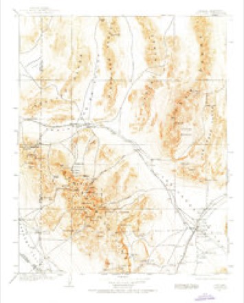
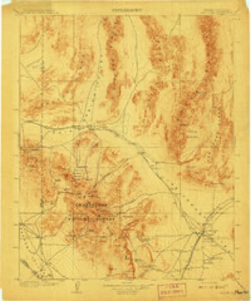
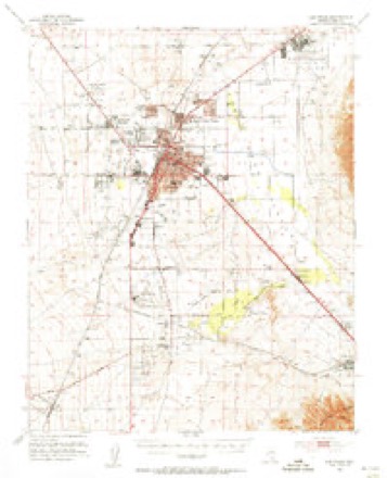
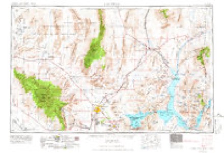
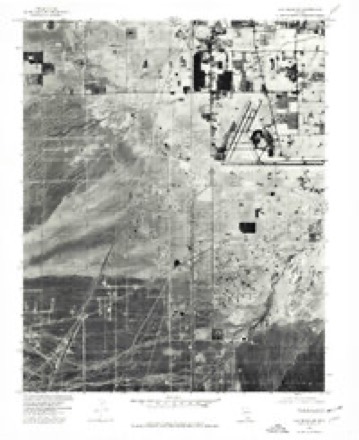
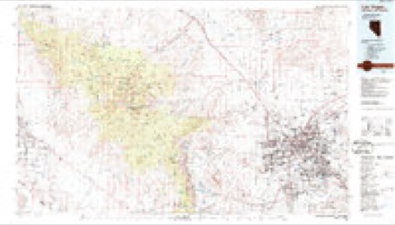
24 topographic sheets cover this place, the earliest surveyed in 1907 and the latest in 1986. It stands in the Clark census division. It lies in ZIP code area 89103. The Survey maps it on the Las Vegas SW quadrangle.
Topographic sheets covering this place
10 surveys from 24 printed sheetsMatched by testing this settlement's coordinate against the published boundary of every sheet in the United States Geological Survey's historical collection. Each opens the scanned sheet at the Survey.
- 1907 USGS Las Vegas quadrangle1:250000
- 1908 USGS Las Vegas quadrangle1:250000, 4 printings
- 1952 USGS Las Vegas quadrangle1:62500
- 1954 USGS Las Vegas quadrangle1:250000, 5 printings
- 1957 USGS Las Vegas quadrangle1:250000
- 1959 USGS Las Vegas quadrangle1:250000
- 1962 USGS Las Vegas quadrangle1:250000
- 1967 USGS Las Vegas SW quadrangle1:24000, 5 printings
- 1973 USGS Las Vegas SW quadrangle1:24000
- 1986 USGS Las Vegas quadrangle1:100000, 4 printings
Fires near this place
14 since 1998Regional context, not property-specific evidence. The federal wildfire occurrence database lists 14 fires within 5 miles of Bracken between 1998 and 2016, burning about 1 acre in total. None started naturally. 1 was recorded as arson. Distance is straight-line from the map coordinates, so a fire counted here may appear on a neighbouring settlement's page as well.
| Reported cause | Fires |
|---|---|
| Missing data/not specified/undetermined | 10 |
| Fireworks | 2 |
| Arson/incendiarism | 1 |
| Debris and open burning | 1 |
The most recent of them, most recent first, with the day each was reported and the service that recorded it.
| Date | Cause | Size | Reported by | Name on the report |
|---|---|---|---|---|
| 14 August 2016 | Fireworks | under an acre | Clark County Fire Department | CLRX 76 |
| 4 July 2016 | Missing data/not specified/undetermined | under an acre | Clark County Fire Department | CLRX 62 |
| 4 July 2016 | Fireworks | under an acre | Clark County Fire Department | CLRX 61 |
| 29 June 1998 | Arson/incendiarism | under an acre | Southern Nevada District Office | SHELL |
| 29 June 1998 | Debris and open burning | under an acre | Lake Mead National Recreation Area | CAMPER |
| 14 June 2016 | Missing data/not specified/undetermined | under an acre | Clark County Fire Department | CLRX 41 |
| 12 June 2016 | Missing data/not specified/undetermined | under an acre | Clark County Fire Department | CLRX 39 |
| 11 June 2012 | Missing data/not specified/undetermined | under an acre | Southern Nevada District Office | CCFD 9 |
Settlements close enough to share some of these fires:
Mines and quarries near this place
5 within 5 milesRegional context, not property-specific evidence. The federal mineral resources record lists 5 workings within 5 miles of Bracken: 4 past producers, 1 producer. 1 still produces. What was taken out: Sand and Gravel, Construction. Distance is straight-line from the map coordinates, so a quarry counted here may appear on a neighbouring settlement's page as well.
| Where | Site | Commodity | Status | Recorded |
|---|---|---|---|---|
| Arrow Ready Mix Pit and Mill | Sand and Gravel, Construction | Past Producer | ||
| Flamingo Road Pit | Sand and Gravel, Construction | Past Producer | ||
| Rico Paving & Grading Pit | Sand and Gravel, Construction | Past Producer | ||
| Spring Mountain Pit & Mill | Sand and Gravel, Construction | Past Producer | ||
| White Rock 5 Pit & Mill | Sand and Gravel, Construction | Producer |
Storms near this place
28 since 2008Regional context, not property-specific evidence. The National Weather Service names Bracken in 28 storm reports between 2008 and 2025: 10 flash flood, 5 heavy rain, 5 lightning, 4 hail. The reports record 3 deaths and 3 injuries. Each account below is quoted exactly as the forecast office filed it, from the NOAA Storm Events Database, and each date opens the federal record of that event.
| When | Event | Place named | Harm | What the report says |
|---|---|---|---|---|
| August 2023 | Flash Flood | Bracken | 1 killed, $100,000 | Flash flooding occurred on the Strip, which was described as a river, as well as nearby roads. Water came into at least two Strip casinos through light fixtures and/or failed ceilings. One person drowned after being swept down the Flamingo Wash, and another person was reported missing. |
| August 2022 | Heavy Rain | Bracken | 1 killed, $20,000 | Heavy rain damaged classrooms, books, and electronics at Rose Warren Elementary School and poured through the roof of the Planet Hollywood casino. One man drowned in a wash near Giles St and Mandalay Bay Rd. |
| August 2017 | Flash Flood | Bracken | 1 killed, $10,000 | Six people were rescued from the Flamingo Wash behind the Linq Hotel, and roads were closed in the area due to flooding. Two people were swept into the Flamingo Wash near Boulder Highway. One man, who had been rescuing people from the wash, was killed. |
| September 2021 | Lightning | Bracken | 3 hurt | A lightning strike injured three people. |
| July 2012 | Hail | Bracken | $50,000,000 | Hail up to 1.25 inches in diameter fell in a swath from Summerlin to North Las Vegas. According to a local body shop, ten thousand insurance claims were filed for hail damage to vehicles. |
| February 2014 | Heavy Rain | Bracken | $250,000 | Heavy rain in the Las Vegas Valley caused a power outage to 1263 customers; shorted out a railroad crossing sensor, causing the gate to block a major thoroughfare; and contributed to at least 43 vehicle crashes, resulting in eight injuries (indirect). |
| September 2011 | Flash Flood | Bracken | $20,000 | Two drivers had to be rescued from the southbound off ramp of the 215 Beltway at Flamingo Road when they got trapped in standing water 3-4 feet deep. |
| December 2010 | Heavy Rain | Bracken | $20,000 | Heavy rain caused major damage to the Opportunity Village Magical Forest Christmas display. |
| June 2024 | Dust Devil | Bracken | $10,000 | A dust devil damaged multiple mobile homes, including ripping awnings off porches, tearing panels off walls, and damaging a power transformer. |
| June 2016 | Lightning | Bracken | $10,000 | Lightning set fire to a house. |
| July 2014 | Flash Flood | Bracken | $10,000 | A swift water rescue was performed at the intersection of Decatur and Oakey when a car drove into deep water in the intersection. |
| September 2014 | Thunderstorm Wind | Bracken | $10,000 | Thunderstorm winds blew a heavy construction barricade into a car, causing significant damage. |
| July 2023 | Dust Devil | Bracken | $5,000 | A dust devil damaged a roof and destroyed a patio cover. |
| September 2014 | Flash Flood | Bracken | $5,000 | Several swift water rescues took place near and west of Fort Apache and Russell. At least six inches of water, mud, and rocks flowed over Tropicana and Grand Canyon. |
| September 2011 | Lightning | Bracken | $5,000 | Lightning struck a home, damaging the roof. |
| August 2022 | Flash Flood | Bracken | $1,000 | Charleston Blvd was flooded one to one and a half feet deep near Jones. |
| July 2015 | Lightning | Bracken | $1,000 | Lightning started four palm tree fires in the Las Vegas Valley. |
| September 2014 | Flash Flood | Bracken | $1,000 | Rapidly flowing water flooded the parking garage of the Quad Resort on the Las Vegas Strip. One construction worker was swept away but was not injured. |
| July 2012 | Dust Devil | Bracken | $1,000 | A dust devil destroyed a fireworks stand in front of the Walmart in the 4500 block of West Charleston Blvd. in Las Vegas. |
| July 2014 | Lightning | Bracken | $100 | Lightning set fire to a palm tree. |
| June 2025 | Hail | Bracken | - | There were multiple reports of 1 to 1.5 inch hail. |
| March 2015 | Heavy Rain | Bracken | - | Wet roads contributed to one vehicle accident with one minor injury (indirect). |
| September 2014 | Hail | Bracken | - | Public reported 3/4 hail at Charleston and Fort Apache. |
| September 2014 | Heavy Rain | Bracken | - | One vehicle was stuck in six to 12 inches of standing water on the Flamingo Road off ramp from I-215. |
| July 2011 | Hail | Bracken | - | A citizen posted a report of nickel size hail near the intersection of Sahara and Hualapai to WFO Las Vegas' Facebook page. |
| January 2010 | Flash Flood | Bracken | - | A Las Vegas television station reported at least six inches of water in the intersection of Decatur and Oakey. |
| January 2010 | Flash Flood | Bracken | - | Several roads were flooded both west and east of the Las Vegas Strip. |
| August 2008 | Flash Flood | Bracken | - | Torrey Pines Drive was flooded south of Desert Inn Road. |
Nearest settlements
The eight closest, with where each one stands in the county. Distances are straight-line, computed from the Geographic Names Information System coordinates.
| Map | Place | Distance | Sheets |
|---|---|---|---|
| Boulder Junction | 1.9 miles | 24 | |
| Paradise | 2.5 miles | 24 | |
| Spring Valley | 2.9 miles | 24 | |
| Winchester | 4.1 miles | 25 | |
| Bonanza Village | 5.4 miles | 25 | |
| Las Vegas | 5.5 miles | 25 | |
| Eastland Heights | 5.8 miles | 25 | |
| Whitney | 6.2 miles | 24 |
Provenance
This settlement is recorded in the Geographic Names Information System as feature 855977. The sheet list is computed by point-in-boundary test against the United States Geological Survey's historical topographic inventory. Both are works of the United States government and carry no copyright under 17 U.S.C. 105.
Wildfire. Short, Karen C. 2022. Spatial wildfire occurrence data for the United States, 1992-2020 [FPA_FOD_20221014]. 6th Edition. Fort Collins, CO: Forest Service Research Data Archive. https://doi.org/10.2737/RDS-2013-0009.6 Collected with United States Government funding and usable without additional permissions or fees.
Mines and quarries. USGS Mineral Resources Data System (MRDS) https://mrdata.usgs.gov/mrds/ A work of the United States government, no copyright under 17 U.S.C. 105.
Storms. NOAA National Centers for Environmental Information, Storm Events Database https://www.ncei.noaa.gov/stormevents/ A work of the United States government, no copyright under 17 U.S.C. 105. Narratives are quoted verbatim from the National Weather Service report and are not edited or summarised.