 Block
Las Vegas, Nevada
25 topographic sheets cover this place, the earliest surveyed in 1907 and the latest in 1986. It stands in the Clark census division. It lies in ZIP code area 89101. It lies near Cashman Field. The Survey maps it on the Las Vegas NW quadrangle. 641,903 people lived here at the 2020 count. It stands 2,001 feet above sea level.
Research this city
On record in Las Vegas
Buildings and businesses the archive holds for this place. Each opens its own page, with the source record it came from.
On the National Register 12 of 29 shown
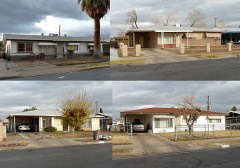 Berkley Squarelisted 2009
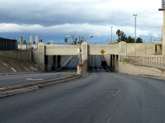 Clark Avenue Railroad Underpasslisted 2004
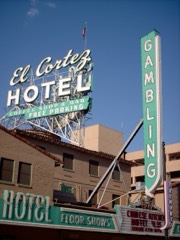 El Cortez Hotel and Casinolisted 2013
 Green Shacklisted 1994
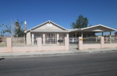 Harrison's Guest Houselisted 2016
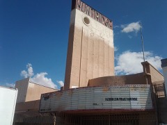 Huntridge Theaterlisted 1993
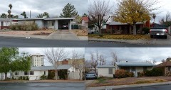 John S. Park Historic Districtlisted 2003
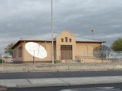 Las Vegas Grammar Schoollisted 1979
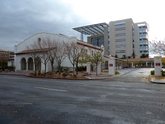 Las Vegas Grammar Schoollisted 1988
 Las Vegas High School Academic Building and Gymnasiumlisted 1986
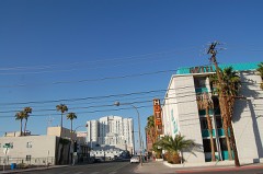 Las Vegas High School Neighborhood Historic Districtlisted 1991
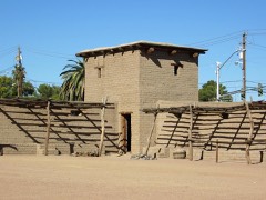 Las Vegas Mormon Fortlisted 1972
Surveyed buildings and structures 4 records
- Desert National Wildlife Refuge Residence, 1510 Decatur Boulevard, Las Vegasfederal building survey, 8 photographs
- United States Post Office & Court House, 300 East Steward Avenue, Las Vegasfederal building survey, 54 photographs
- Westside School, Annex, Corner of Washington Avenue and D Street, Las Vegasfederal building survey, 14 photographs
- Westside School, Corner of Washington Avenue and D Street, Las Vegasfederal building survey, 9 photographs
Population over time
13 figuresLas Vegas grew from 25 to 641,903 between 1900 and 2020. These are the recorded population figures Wikidata holds for this place, reached through the Geographic Names Information System number this page is keyed on rather than by name, so they belong to this place and not to another of the same name. Most are census counts, but not all are: an early figure may be a founding or settlement estimate, and an estimate published within five years of a census is left out. The change column is computed, and is left blank where more than 20 years separate a figure from the one before it, because a gap that long is not a change between two counts.
| Year | People | Change |
|---|---|---|
| 1900 | 25 | |
| 1910 | 800 | +775 (+3100%) |
| 1920 | 2,304 | +1,504 (+188%) |
| 1930 | 5,165 | +2,861 (+124%) |
| 1940 | 8,422 | +3,257 (+63%) |
| 1950 | 24,624 | +16,202 (+192%) |
| 1960 | 64,405 | +39,781 (+162%) |
| 1970 | 125,787 | +61,382 (+95%) |
| 1980 | 164,674 | +38,887 (+31%) |
| 1990 | 258,295 | +93,621 (+57%) |
| 2000 | 478,434 | +220,139 (+85%) |
| 2010 | 583,756 | +105,322 (+22%) |
| 2020 | 641,903 | +58,147 (+10%) |
Topographic sheets covering this place
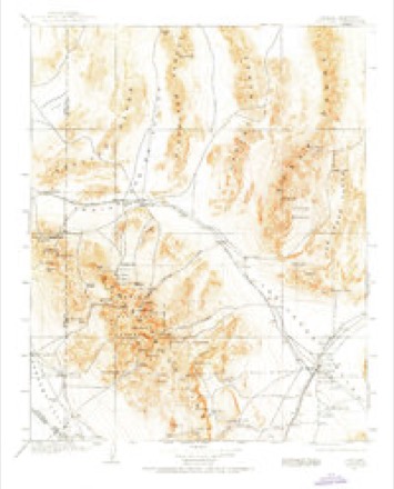
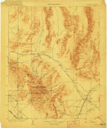
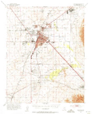
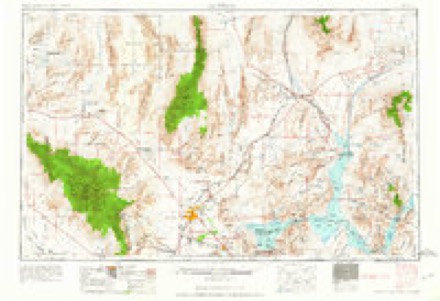
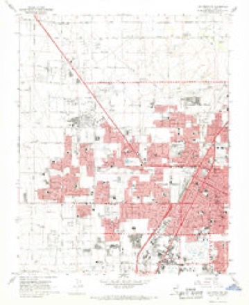
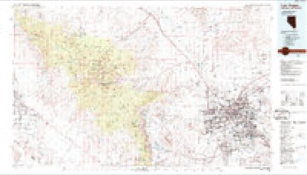
10 surveys from 25 printed sheetsMatched by testing this settlement's coordinate against the published boundary of every sheet in the United States Geological Survey's historical collection. Each opens the scanned sheet at the Survey.
- 1907 USGS Las Vegas quadrangle1:250000
- 1908 USGS Las Vegas quadrangle1:250000, 4 printings
- 1952 USGS Las Vegas quadrangle1:62500
- 1954 USGS Las Vegas quadrangle1:250000, 5 printings
- 1957 USGS Las Vegas quadrangle1:250000
- 1959 USGS Las Vegas quadrangle1:250000
- 1962 USGS Las Vegas quadrangle1:250000
- 1967 USGS Las Vegas NW quadrangle1:24000, 6 printings
- 1973 USGS Las Vegas NW quadrangle1:24000
- 1986 USGS Las Vegas quadrangle1:100000, 4 printings
Photographs
8 of 29 photographs shown, 1940 to 2022Taken for the Office of War Information and the Farm Security Administration, who photographed the country between 1935 and 1944. Works of United States government photographers, with no known restriction on use. Each opens its catalogue record.
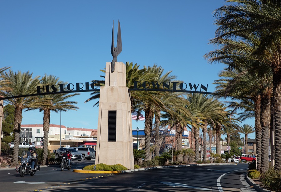
Highsmith, Carol M, 2022. Library of Congress
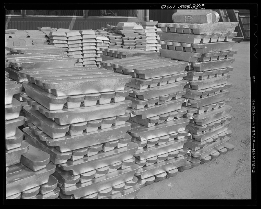
Henle, Fritz, 1942. Library of Congress
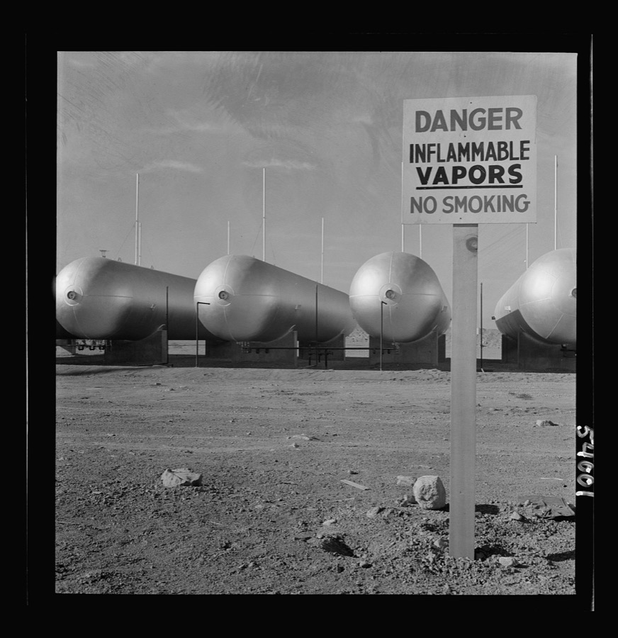
Henle, Fritz, 1942. Library of Congress
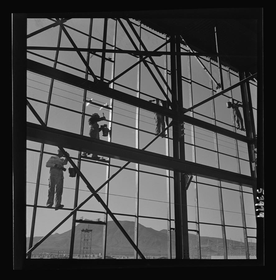
Henle, Fritz, 1942. Library of Congress
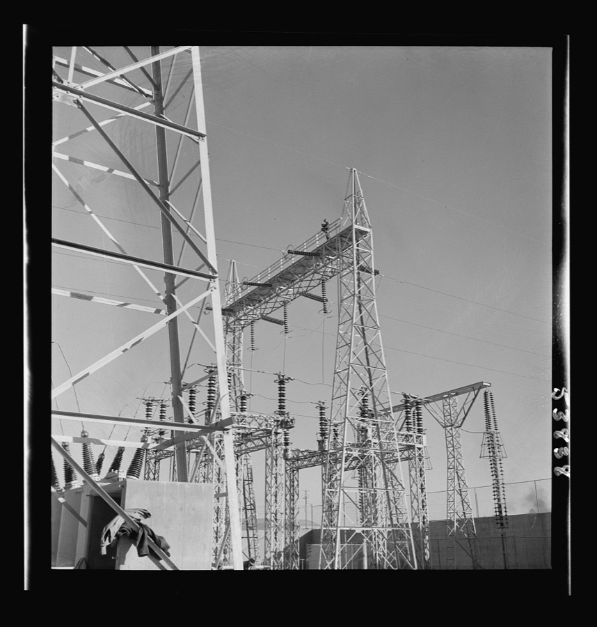
Henle, Fritz, 1942. Library of Congress
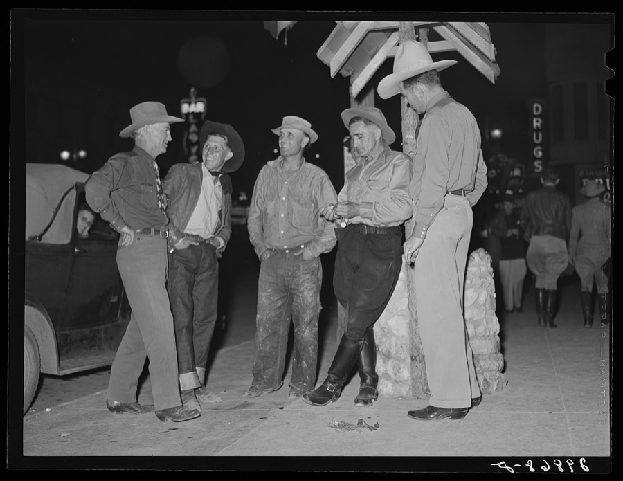
Rothstein, Arthur, 1940. Library of Congress
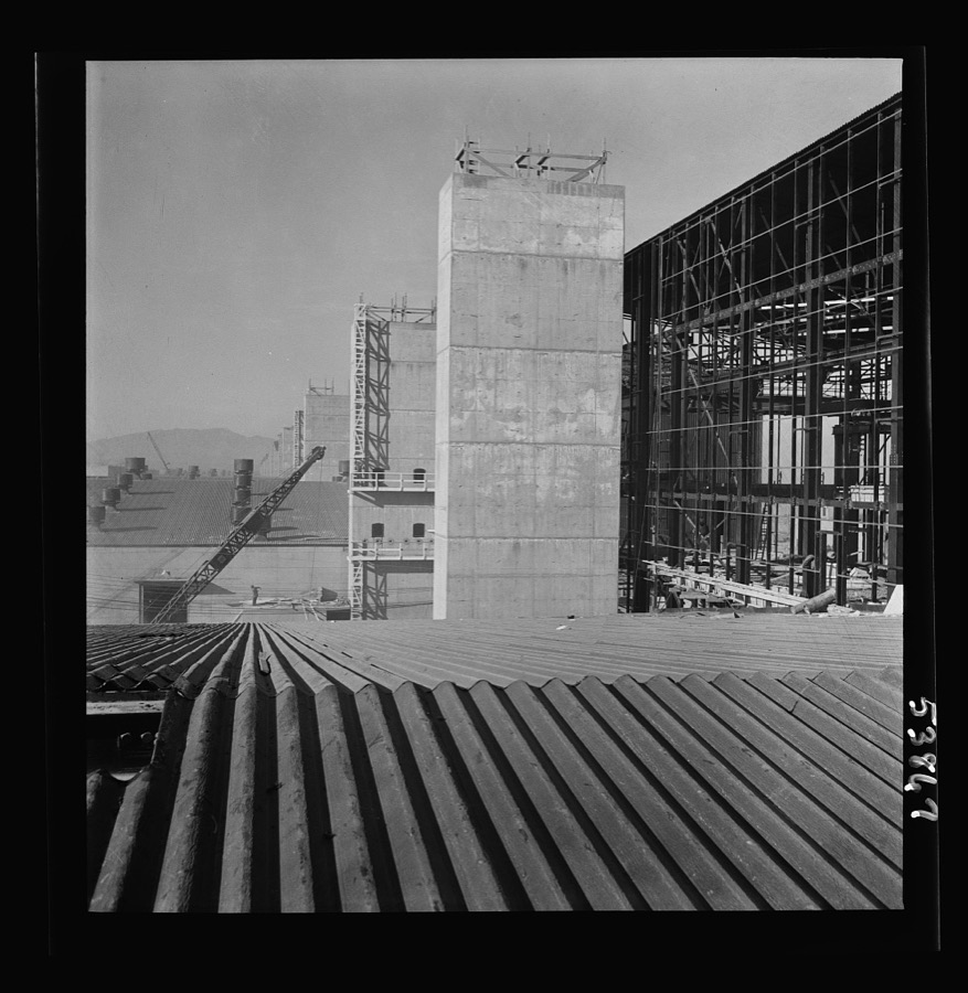
Henle, Fritz, 1942. Library of Congress
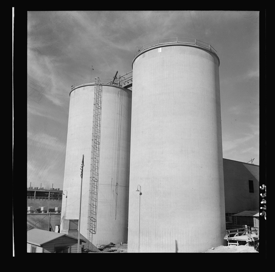
Henle, Fritz, 1942. Library of Congress
Every photograph of Clark County
Fires near this place
16 since 1995Regional context, not property-specific evidence. The federal wildfire occurrence database lists 16 fires within 5 miles of Las Vegas between 1995 and 2016, burning about 22,002 acres in total. 1 started naturally. 1 was recorded as arson. Distance is straight-line from the map coordinates, so a fire counted here may appear on a neighbouring settlement's page as well.
| Reported cause | Fires |
|---|---|
| Missing data/not specified/undetermined | 12 |
| Fireworks | 1 |
| Smoking | 1 |
| Arson/incendiarism | 1 |
| Natural | 1 |
The most recent of them, most recent first, with the day each was reported and the service that recorded it.
| Date | Cause | Size | Reported by | Name on the report |
|---|---|---|---|---|
| 14 August 2016 | Fireworks | under an acre | Clark County Fire Department | CLRX 76 |
| 7 July 2016 | Missing data/not specified/undetermined | under an acre | Clark County Fire Department | CLRX 66 |
| 11 July 2016 | Missing data/not specified/undetermined | under an acre | Clark County Fire Department | CLRX 68 |
| 11 July 2004 | Smoking | under an acre | Southern Nevada District Office | CALICO |
| 30 June 1995 | Arson/incendiarism | under an acre | Southern Nevada District Office | BLMDOYARD |
| 22 June 2005 | Natural | 22,000 acres | Desert National Wildlife Refuge | GASS |
| 12 June 2016 | Missing data/not specified/undetermined | under an acre | Clark County Fire Department | CLRX 39 |
| 27 May 2016 | Missing data/not specified/undetermined | under an acre | Clark County Fire Department | CLRX 34 |
Settlements close enough to share some of these fires:
Mines and quarries near this place
1 within 5 milesRegional context, not property-specific evidence. The federal mineral resources record lists 1 working within 5 miles of Las Vegas: 1 producer. All of them still produce. What was taken out: Sand and Gravel, Construction. Distance is straight-line from the map coordinates, so a quarry counted here may appear on a neighbouring settlement's page as well.
| Where | Site | Commodity | Status | Recorded |
|---|---|---|---|---|
| White Rock 5 Pit & Mill | Sand and Gravel, Construction | Producer |
Storms near this place
60 of 117 shownRegional context, not property-specific evidence. The National Weather Service names Las Vegas in 117 storm reports between 1996 and 2024: 33 flash flood, 26 thunderstorm wind, 19 hail, 14 lightning. The reports record 4 deaths and 4 injuries. Each account below is quoted exactly as the forecast office filed it, from the NOAA Storm Events Database, and each date opens the federal record of that event.
| When | Event | Place named | Harm | What the report says |
|---|---|---|---|---|
| November 2002 | Flash Flood | Las Vegas | 1 killed, 1 hurt | A fast moving rain storm produced just over half an inch of rain over north Las Vegas. The runoff in the cities drainage system caused flash flooding which trapped four homeless men. One man drowned and another was injured. |
| July 1999 | Flash Flood | Las Vegas | 1 killed, $25,000,000 | no account filed |
| July 1998 | Flash Flood | Las Vegas | 1 killed, $50,000 | no account filed |
| June 1996 | Dust Devil | Las Vegas | 1 killed | no account filed |
| July 2011 | Thunderstorm Wind | Las Vegas | 1 hurt, $200,000 | A severe thunderstorm developed near downtown Las Vegas and moved through North Las Vegas. The ASOS at North Las Vegas Airport (KVGT) measured a gust to 64 mph. At least two trees were blown down, one onto a house; numerous power poles and lines were blown down; and one child suffered minor injuries when part of a roof blew off an apartment building, flew into the building next door, and broke two windows and damaged four doors. |
| May 2024 | Dust Devil | Las Vegas | 1 hurt | A dust devil at the Neon Museum lofted two pop-up canopies, resulting in one injury. |
| April 1999 | Flood | Las Vegas | 1 hurt | no account filed |
| July 1998 | Heavy Rain | Las Vegas | $11,000,000 | no account filed |
| August 2007 | Flash Flood | Las Vegas | $5,000,000 | Flash flooding resulted in 22 swift water rescues in less than three hours. Floodwaters knocked down a 45-foot stretch of stucco wall behind an apartment complex, inundating garages with two feet of water. Many homes had water in them. The damage figure is an estimate. |
| August 2003 | Flash Flood | Las Vegas | $2,000,000 | A thunderstorm produced intense rainfall over the northwest portion of the Las Vegas valley with several automated and personal rain gauges recorded between 3 and 5 inches of rain in less than an hour. Many roads became completely impassable with nearly 60 swift water rescues being preformed. Several homes and businesses were severely damaged from flooding including the local chapter of the American Red Cross. Highway 95 was closed between Rainbow and Jones for several hours after becoming completely submerged. |
| August 2007 | Lightning | Las Vegas | $1,000,000 | The same storms which were responsible for major flooding also produced lightning strikes which set fire to at least ten buildings and more than 20 trees. Damage figure is an estimate. |
| November 2013 | Heavy Rain | Las Vegas | $800,000 | Heavy rain in the Las Vegas Valley contributed to 169 vehicle crashes, with 60 injuries (indirect) and one fatality (indirect). The heavy rain also caused 2000 customers in the Las Vegas Valley to lose power. |
| July 1998 | Lightning | Las Vegas | $250,000 | no account filed |
| September 1998 | Flash Flood | Las Vegas | $250,000 | no account filed |
| August 2000 | Flash Flood | Las Vegas | $200,000 | Heavy rainfall in and around the Las Vegas Valley caused flash flooding through much of the town. Rainfall amounts of 1-2 inches had fallen in just under 2 hours over many parts of the Valley. Several roads were closed and 10-15 swift water rescues where performed. Several homes received damage due to water running through them. |
| July 1996 | Heavy Rain | Las Vegas | $100,000 | no account filed |
| June 2009 | Dust Devil | East Las Vegas | $75,000 | A suspected dust devil damaged several mobile homes in the Desert Inn Estates Mobile Home Park. Debris from one of the homes also damaged a car. |
| September 1998 | Hail | Las Vegas | $75,000 | no account filed |
| August 1997 | Thunderstorm Wind | Las Vegas | $75,000 | no account filed |
| September 2013 | Lightning | North Las Vegas | $50,000 | Lightning damaged two major distribution circuits, knocking out power to about 2000 people. |
| May 2012 | Dust Devil | North Las Vegas | $50,000 | The dust devil uprooted trees and then struck a retail store, tearing off part of the roof and breaking water lines to the building's sprinkler system. Power was also knocked out to about 2,000 customers. |
| September 2008 | Lightning | Las Vegas | $50,000 | Lightning struck and damaged several trees and a power pole. One house was damaged by fire which spread from a burning tree. |
| August 1998 | Thunderstorm Wind | North Las Vegas | $50,000 | no account filed |
| October 2011 | Flash Flood | East Las Vegas | $30,000 | Spotters reported flowing water on Stephanie Street between Russell and Sunset, as well as on Marks Street between Warm Springs and American Pacific. Broadcast media reported that the intersection of Tropicana and Jimmy Durante flooded so quickly that several drivers were stranded in their cars, and had to be rescued. The heavy rain also damaged the soccer fields at Sam Boyd Stadium Park. |
| July 1998 | Flash Flood | Las Vegas | $30,000 | A series of thunderstorms dumped heavy rain on the Las Vegas Valley producing significant street flooding and flowing washes. Three occupants of a car caught in flood waters at Desert Inn and Durango had to be rescued by the fire department. Another person drove a luxury car into deep water at the intersection of Pecos and Twain Avenue, essentially totalling the vehicle. She escaped without injury. Several other streets and intersections were inundated for a few hours. |
| February 2005 | Flash Flood | Las Vegas | $25,000 | Heavy rains in the Las Vegas valley flooded a local cemetary damaging several grave sites. |
| August 2003 | Thunderstorm Wind | Las Vegas | $25,000 | Winds gusting to 50 mph blew down several trees in northwest Las Vegas. Visibility was reduced to below a quarter mile due to the blowing dust and debris. |
| August 1997 | Hail | Las Vegas | $25,000 | no account filed |
| July 2018 | Thunderstorm Wind | East Las Vegas | $20,000 | Thunderstorm winds blew trees down onto cars in the intersection of Desert Inn and Cabana. |
| February 2005 | Heavy Rain | Las Vegas | $20,000 | Heavy rains from over the past few days caused sections of a ceiling to collapse in a house causing $20,000 dollars. |
| August 1998 | Thunderstorm Wind | Las Vegas | $20,000 | High winds knocked down several power lines as thunderstorms rolled across the Las Vegas Valley. Brief power outages resulted throughout the city. |
| August 1997 | Thunderstorm Wind | Las Vegas | $20,000 | no account filed |
| July 2018 | Lightning | Las Vegas | $15,000 | Lightning hit a power pole, snapping it in half. The transformer and wires were resting on the ground. |
| September 2008 | Thunderstorm Wind | East Las Vegas | $15,000 | Thunderstorm winds damaged carports on two mobile homes, and blew down a fence. |
| May 2000 | Thunderstorm Wind | Las Vegas | $15,000 | Severe thunderstorms developed across the Las Vegas valley through the afternoon. Strong wind gusts were reported with the Las Vegas ASOS reporting a wind gust of 64 mph and a wind gust of 66 mph recorded at the NWS Las Vegas. Several trees were blown down and power outages were reported in Primm, Jean, and Goodsprings, NV. A sign was also blown over on the south end of the strip and visibility was reduced to near zero in blowing dust. |
| June 2015 | Heavy Rain | East Las Vegas | $10,000 | Heavy rain in the Las Vegas Valley left several inches of standing water on some streets, knocked out power to over 1700 customers, and contributed to several vehicle accidents which resulted in seven injuries (indirect). |
| October 2015 | Lightning | Las Vegas | $10,000 | Lightning set a power pole on fire, knocking out power to 1800 customers. |
| September 2011 | Thunderstorm Wind | Las Vegas | $10,000 | Thunderstorm winds knocked down power lines in downtown Las Vegas. |
| August 2008 | Lightning | Las Vegas | $5,000 | Near downtown Las Vegas, lightning struck a tree, which then fell into power lines. |
| September 1999 | Flash Flood | Las Vegas | $5,000 | no account filed |
| August 1998 | Lightning | Las Vegas | $5,000 | no account filed |
| February 1998 | Flood | Las Vegas | $5,000 | no account filed |
| August 1997 | Lightning | Las Vegas | $5,000 | no account filed |
| June 1996 | Dust Devil | Las Vegas | $5,000 | no account filed |
| September 1998 | Thunderstorm Wind | Las Vegas | $3,000 | no account filed |
| July 2022 | Thunderstorm Wind | North Las Vegas | $2,000 | Multiple large trees were blown down. |
| July 2018 | Flash Flood | East Las Vegas | $2,000 | Flooding closed all the ramps at Highway 95 and Flamingo, and also affected several other intersections in the area. |
| July 2018 | Thunderstorm Wind | Las Vegas | $2,000 | Two large trees were blown down. |
| January 2017 | Heavy Rain | Las Vegas | $2,000 | The ceiling of an apartment fell in due to heavy rain. |
| September 2013 | Flash Flood | East Las Vegas | $2,000 | Six to 18 inches of water with mud and debris flowed down Sunset Road from Mountain Vista to Arroyo Grande. |
| September 1998 | Thunderstorm Wind | Las Vegas | $2,000 | no account filed |
| July 2021 | Lightning | Las Vegas | $1,000 | Lightning struck a tree, snapping it and throwing the top into power lines. |
| January 2018 | Flash Flood | East Las Vegas | $1,000 | Stephanie Street was closed at Monson Channel due to flooding. |
| July 2018 | Lightning | Las Vegas | $1,000 | A palm tree caught fire from a lightning strike. |
| August 2016 | Thunderstorm Wind | East Las Vegas | $1,000 | Thunderstorm winds snapped a one to two foot diameter tree at Chaparral High School. |
| August 2016 | Flash Flood | East Las Vegas | $1,000 | The Flamingo Road on ramps to Highway 95 were closed due to flooding. |
| June 2016 | Thunderstorm Wind | Las Vegas | $1,000 | Thunderstorm winds destroyed one palm tree, damaged two others, and threw a glass table into a pool. |
| July 2015 | Dust Devil | East Las Vegas | $1,000 | A dust devil tore down two awnings at a mobile home park. |
| July 2013 | Flash Flood | East Las Vegas | $1,000 | One to two feet of water flowed down Harmon Rd. between Sandhill and Boulder Highway. The on-ramp from Flamingo to northbound highway 95 was closed due to flooding. |
| August 2012 | Flash Flood | East Las Vegas | $1,000 | Six inches of water along with rocks and debris flowed across the intersection of Tropicana and Stephanie. |
Nearest settlements
The eight closest, with where each one stands in the county. Distances are straight-line, computed from the Geographic Names Information System coordinates.
| Map | Place | Distance | Sheets |
|---|---|---|---|
| Hoover City (historical) | 1.5 miles | 25 | |
| Bonanza Village | 1.6 miles | 25 | |
| North Las Vegas | 2.0 miles | 25 | |
| Vegas Heights | 2.0 miles | 25 | |
| Eastland Heights | 2.9 miles | 25 | |
| Winchester | 3.3 miles | 25 | |
| Stewart (historical) | 4.2 miles | 25 | |
| Sunrise Manor | 4.2 miles | 25 |
Elsewhere
Matched on this settlement's Geographic Names Information System number rather than its name, so it cannot be a different place of the same name in another state.
| Wikipedia article on Las Vegas | An encyclopaedic summary. Its text is share-alike, so it is linked here rather than copied. |
| Wikidata item Q23768 | The structured record the population and elevation above come from. Public domain (CC0). |
Provenance
This settlement is recorded in the Geographic Names Information System as feature 847388. The sheet list is computed by point-in-boundary test against the United States Geological Survey's historical topographic inventory. Both are works of the United States government and carry no copyright under 17 U.S.C. 105.
Wildfire. Short, Karen C. 2022. Spatial wildfire occurrence data for the United States, 1992-2020 [FPA_FOD_20221014]. 6th Edition. Fort Collins, CO: Forest Service Research Data Archive. https://doi.org/10.2737/RDS-2013-0009.6 Collected with United States Government funding and usable without additional permissions or fees.
Mines and quarries. USGS Mineral Resources Data System (MRDS) https://mrdata.usgs.gov/mrds/ A work of the United States government, no copyright under 17 U.S.C. 105.
Storms. NOAA National Centers for Environmental Information, Storm Events Database https://www.ncei.noaa.gov/stormevents/ A work of the United States government, no copyright under 17 U.S.C. 105. Narratives are quoted verbatim from the National Weather Service report and are not edited or summarised.