 Block
Fallon, Nevada
23 topographic sheets cover this place, the earliest surveyed in 1908 and the latest in 1985. It stands in the Fallon census division. It lies in ZIP code area 89406. The Survey maps it on the Fallon quadrangle. 9,327 people lived here at the 2020 count. It stands 3,960 feet above sea level.
Research this city
On record in Fallon
Buildings and businesses the archive holds for this place. Each opens its own page, with the source record it came from.
On the National Register 12 of 13 shown
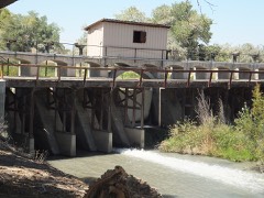 Carson River Diversion Damlisted 1981
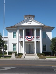 Churchill County Courthouselisted 1992
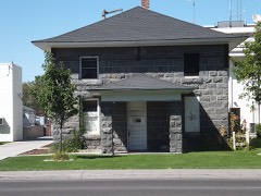 Churchill County Jaillisted 2002
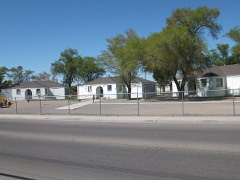 Cottage Schools, Thelisted 2008
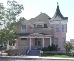 Robert L. Douglass Houselisted 2001
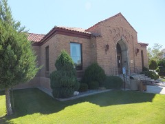 Fallon City Halllisted 2004
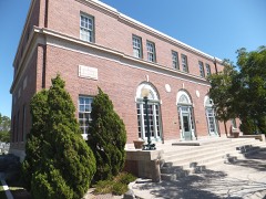 Federal Building and Post Officelisted 2006
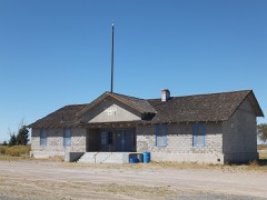 Harmon Schoollisted 1989
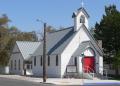 Holy Trinity Episcopal Churchlisted 2003
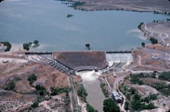 Lahontan Dam and Power Stationlisted 1981
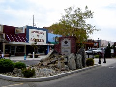 Maine Street Historic Districtlisted 2019
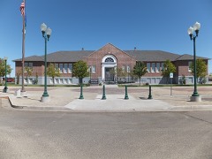 Oats Park Grammar Schoollisted 1990
Every listing in Churchill County
Surveyed buildings and structures 12 of 18 shown
- Boyer Ranch, Gilbert's Root Cellar, 44 miles east of Fallon, on U.S. Highway 50, Fallonfederal building survey, 8 photographs
- Boyer Ranch, Gilbert's Storeroom, 44 miles east of Fallon, on U.S. Highway 50, Fallonfederal building survey, 11 photographs
- Boyer Ranch, U.S. Highway 50, 44 miles east of Fallon, Fallonfederal building survey, 2 photographs
- Naval Air Station Fallon, 100-man Fallout Shelter, 800 Complex, off Carson Road near intersection of Pasture & Berney Roads, Fallonfederal building survey, 16 photographs
- Naval Air Station Fallon, Fuel Tanks, 800 Complex, off Carson Road near intersection of Pasture & Berney Roads, Fallonfederal building survey, 10 photographs
- Naval Air Station Fallon, Power Plant, 800 Complex, off Carson Road near intersection of Pasture & Berney Roads, Fallonfederal building survey, 23 photographs
- Truckee-Carson Irrigation District Facility Yard, Blacksmith Shop-Iron House, Sixth & Taylor Streets, Fallonfederal building survey, 7 photographs
- Truckee-Carson Irrigation District Facility Yard, Car Repair Shop, Sixth & Taylor Streets, Fallonfederal building survey, 7 photographs
- Truckee-Carson Irrigation District Facility Yard, Car Supplies Storehouse, Sixth & Taylor Streets, Fallonfederal building survey, 5 photographs
- Truckee-Carson Irrigation District Facility Yard, Electrical Warehouse, Sixth & Taylor Streets, Fallonfederal building survey, 10 photographs
- Truckee-Carson Irrigation District Facility Yard, Machine Shop, Sixth & Taylor Streets, Fallonfederal building survey, 9 photographs
- Truckee-Carson Irrigation District Facility Yard, Saw Shed, Sixth & Taylor Streets, Fallonfederal building survey, 1 photograph
Population over time
2 figuresFallon grew from 8,606 to 9,327 between 2010 and 2020. These are the recorded population figures Wikidata holds for this place, reached through the Geographic Names Information System number this page is keyed on rather than by name, so they belong to this place and not to another of the same name. Most are census counts, but not all are: an early figure may be a founding or settlement estimate, and an estimate published within five years of a census is left out. The change column is computed, and is left blank where more than 20 years separate a figure from the one before it, because a gap that long is not a change between two counts.
| Year | People | Change |
|---|---|---|
| 2010 | 8,606 | |
| 2020 | 9,327 | +721 (+8%) |
Topographic sheets covering this place
8 surveys from 23 printed sheetsMatched by testing this settlement's coordinate against the published boundary of every sheet in the United States Geological Survey's historical collection. Each opens the scanned sheet at the Survey.
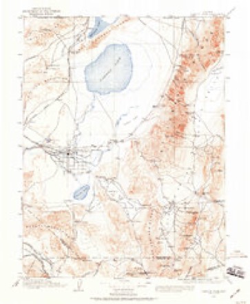
- 1908 USGS Carson Sink quadrangle1:250000, 3 printings
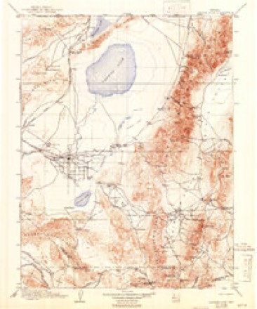
- 1910 USGS Carson Sink quadrangle1:250000, 5 printings
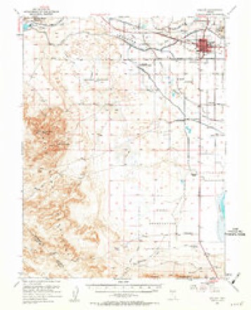
- 1951 USGS Fallon quadrangle1:62500, 3 printings
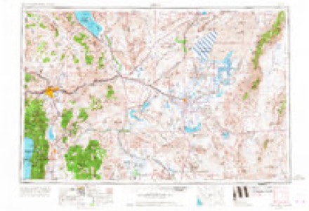
- 1957 USGS Reno quadrangle1:250000, 5 printings
- 1959 USGS Reno quadrangle1:250000
- 1960 USGS Reno quadrangle1:250000, 2 printings
- 1979 USGS Fallon quadrangle1:100000, 2 printings
- 1985 USGS Fallon quadrangle1:24000, 2 printings
Photographs
8 of 18 photographs shown,Taken for the Office of War Information and the Farm Security Administration, who photographed the country between 1935 and 1944. Works of United States government photographers, with no known restriction on use. Each opens its catalogue record.
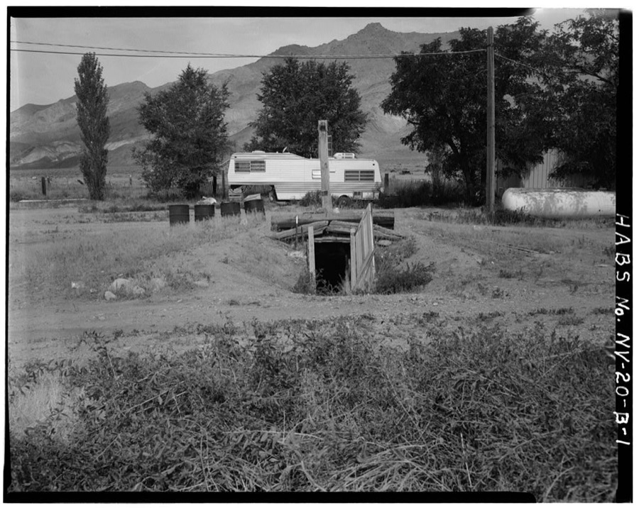
Photographer not recorded. Library of Congress
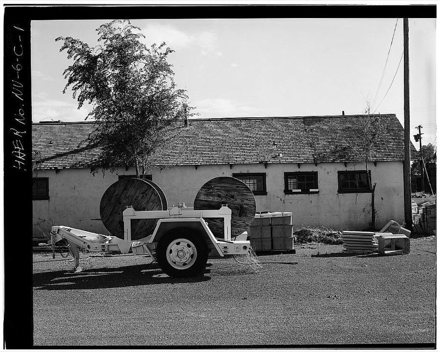
Photographer not recorded. Library of Congress
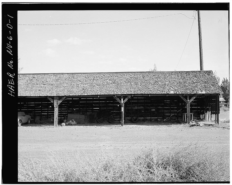
Photographer not recorded. Library of Congress
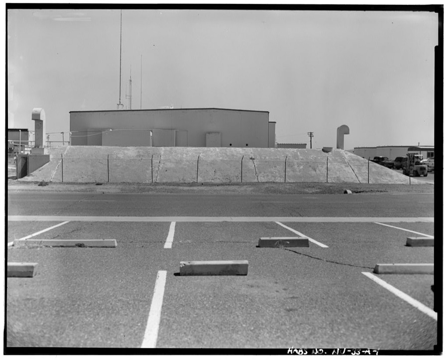
Photographer not recorded. Library of Congress
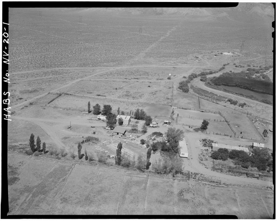
Photographer not recorded. Library of Congress
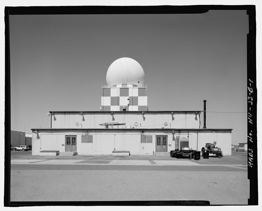
Photographer not recorded. Library of Congress
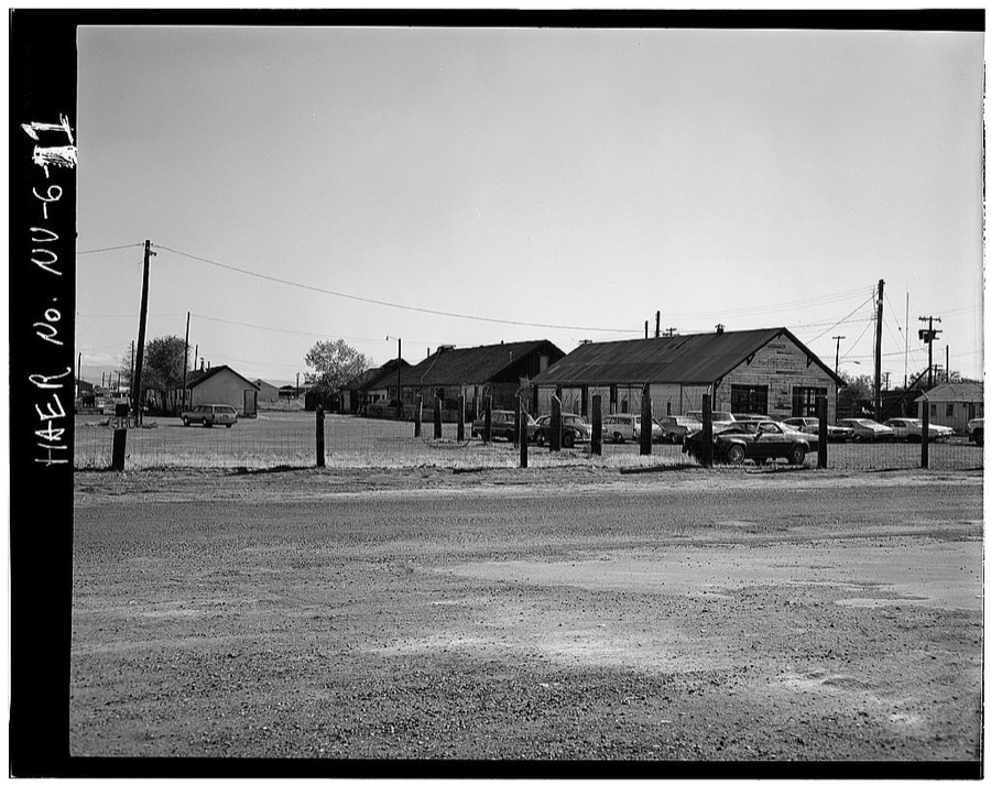
Photographer not recorded. Library of Congress
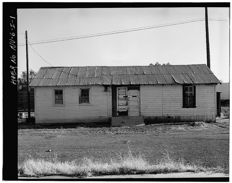
Photographer not recorded. Library of Congress
Every photograph of Churchill County
Fires near this place
2 since 1992Regional context, not property-specific evidence. The federal wildfire occurrence database lists 2 fires within 5 miles of Fallon between 1992 and 2011, burning about 162 acres in total. None started naturally. None was recorded as arson. Distance is straight-line from the map coordinates, so a fire counted here may appear on a neighbouring settlement's page as well.
| Reported cause | Fires |
|---|---|
| Debris and open burning | 1 |
| Recreation and ceremony | 1 |
The most recent of them, most recent first, with the day each was reported and the service that recorded it.
| Date | Cause | Size | Reported by | Name on the report |
|---|---|---|---|---|
| 23 August 1992 | Recreation and ceremony | 150 acres | Carson City District Office | WADE |
| 28 April 2011 | Debris and open burning | 12 acres | Stillwater National Wildlife Refuge | GRASTEIT |
Settlements close enough to share some of these fires:
Mines and quarries near this place
10 within 5 milesRegional context, not property-specific evidence. The federal mineral resources record lists 10 workings within 5 miles of Fallon: 9 past producers, 1 plant. 1 still produces. What was taken out: Sand and Gravel, Construction, Gold, Silver, Tungsten. Distance is straight-line from the map coordinates, so a quarry counted here may appear on a neighbouring settlement's page as well.
| Where | Site | Commodity | Status | Recorded |
|---|---|---|---|---|
| Fallon Plant Standard Slag Co. | Barium-Barite | Past Producer | ||
| John Young Mill | Tungsten | Past Producer | 1976 | |
| Amelia Mill No. 1 | Gold, Silver | Past Producer | 1989 | |
| Fallon Test Facility | Gold, Silver | Plant | 1981 | |
| Wheeler Mill | Gold | Past Producer | 1979 | |
| Borrow Pit | Sand and Gravel, Construction | Past Producer | ||
| Borrow Pit | Sand and Gravel, Construction | Past Producer | ||
| Navy Pit | Sand and Gravel, Construction | Past Producer | ||
| Twenty Mile Pit | Sand and Gravel, Construction | Past Producer | ||
| Unnamed Sand Deposit | Sand and Gravel, Construction | Past Producer |
Storms near this place
26 since 1994Regional context, not property-specific evidence. The National Weather Service names Fallon in 26 storm reports between 1994 and 2018: 15 thunderstorm wind, 5 hail, 2 funnel cloud, 2 heavy rain. No death or injury is recorded in these reports. Each account below is quoted exactly as the forecast office filed it, from the NOAA Storm Events Database, and each date opens the federal record of that event.
| When | Event | Place named | Harm | What the report says |
|---|---|---|---|---|
| October 2010 | Flood | Fallon | $25,000 | Two separate heavy rain events, one on the 4th and one on the 7th, caused ponding of water to more than one foot deep at the Ideal Mobile Home Park. Other areas of Fallon had periodic standing water and minor flooding, some due to poor drainage. |
| June 2003 | Thunderstorm Wind | Fallon | $10,000 | Thunderstorm outflow winds estimated at 75 mph caused scattered damage across Fallon including 5 downed power poles, a large tree blown into a fuel storage tank and a destroyed home gazebo. |
| August 2012 | Thunderstorm Wind | Fallon | $2,000 | Thunderstorm winds caused a 4 to 5 foot diameter tree to fall on St. Clair Street in Fallon. |
| May 2009 | Thunderstorm Wind | Fallon | $2,000 | A trained weather spotter reported wind gusts to 43 knots (50 mph) near Fallon Station. The strong wind produced blowing dust which reduced visibility to around 3 miles. A tree was blown over onto a power line which resulted in a loss of power for a few minutes. |
| June 2007 | Thunderstorm Wind | Fallon | $1,000 | A trained weather spotter reported numerous trees blown down by strong thunderstorm wind gusts six miles northwest of Fallon. |
| May 2009 | Thunderstorm Wind | Fallon | $500 | A trained weather spotter reported that a 20-ft tall 2-ft diameter tree was blown down onto a fence. Numerous small branches from other trees were also broken by the strong wind gusts. |
| July 1998 | Thunderstorm Wind | Fallon | $500 | Estimated peak wind gusts to 60 knots from thunderstorm outflow. Power lines, trees and a shed blown over. |
| April 2018 | Heavy Rain | Fallon | - | ASOS NFL, Fallon Naval Air Station (elevation 3934 feet) reported 0.59 inches of rainfall in a 24 hour period from 6 April 0956PST to 7 April 0956PST. |
| May 2018 | Heavy Rain | Fallon | - | ASOS station NFL, Fallon Naval Air Station (elevation 3934 feet) reported 0.52 inches of rainfall from 16 May 1341PST to 1856PST. |
| May 2016 | Thunderstorm Wind | Fallon | - | A line of thunderstorms approximately 15 to 30 miles west of Fallon produced outflow winds as high as 49 mph gusting to 60 mph at the Naval Air Station in Fallon. Visibility was reduced to between 1 and 2 miles as the wind kicked up large amounts of dust. |
| July 2015 | Thunderstorm Wind | Fallon | - | Wind gusts of 61 to 63 mph were recorded at the Naval Air Station in Fallon. The highest wind gust was recorded at at 1505PST. |
| April 2012 | Thunderstorm Wind | Fallon | - | The Naval Air Station in Fallon reported this wind gust. Sustained winds were 41 mph at 1452PST. |
| June 2009 | Hail | Fallon | - | A trained weather spotter located 3 miles southeast of Fallon reported hail of 1-inch diameter. |
| June 2008 | Thunderstorm Wind | Fallon | - | The wind sensor at NAS Fallon recorded a wind gust of 52 knots (60 mph). |
| July 2008 | Hail | Fallon | - | A trained weather spotter in Fallon reported one-inch-diameter hail. |
| July 2008 | Hail | Fallon | - | A National Weather Service employee reported three-quarter-inch-diameter hail in Fallon. |
| July 2008 | Funnel Cloud | Fallon | - | A trained weather spotter reported a funnel cloud just west of Fallon. |
| July 2008 | Thunderstorm Wind | Fallon | - | A trained weather spotter located 1 mile southwest of Fallon estimated wind gusts of 52 knots (60 mph). Power outages were reported along with areas of blowing dust. |
| July 2008 | Funnel Cloud | Fallon | - | A trained weather spotter reported a funnel cloud west of Fallon. |
| July 2008 | Hail | Fallon | - | A trained weather spotter located 1 mile southwest of Fallon reported one-and-a-quarter-inch-diameter hail. |
| July 2007 | Thunderstorm Wind | Fallon | - | A trained weather spotter located 4 miles SSW of Fallon reported a thunderstorm wind gust to 52 knots (60 mph). The wind gust produced an area of blowing dust which reduced visibility to less than 1 mile. |
| July 2007 | Thunderstorm Wind | Fallon | - | A trained weather spotter located 4 miles SSW of Fallon reported a thunderstorm wind gust of 61 knots (70 mph). |
| July 2004 | Thunderstorm Wind | Fallon | - | A large tree was blown down onto Stillwater Road. Blowing dust also reduced visibility to near zero. |
| September 2000 | Hail | Fallon | - | Sheriff's office in Fallon reported marble size hail and heavy rain that lasted 10-15 minutes. |
| July 1997 | Thunderstorm Wind | Fallon | - | A severe thunderstorm near Fallon produced a wind gust to 50 kts. A 50 foot cottonwood tree was reported blown down. |
| May 1994 | Tornado (F0) | Fallon | - | A small tornado was reported 20 miles east of Fallon moving north towards Dixie Valley. It lasted about six minutes. |
Nearest settlements
The eight closest, with where each one stands in the county. Distances are straight-line, computed from the Geographic Names Information System coordinates.
| Map | Place | Distance | Sheets |
|---|---|---|---|
| Saint Clair | 3.1 miles | 23 | |
| Saint Clair Station (historical) | 3.7 miles | 23 | |
| Island City (historical) | 4.9 miles | 23 | |
| Nevada City (historical) | 6.2 miles | 22 | |
| Ragtown (historical) | 7.7 miles | 22 | |
| Hill (historical) | 7.8 miles | 22 | |
| Leeteville (historical) | 8.6 miles | 22 | |
| Willowtown (historical) | 10.4 miles | 22 |
Elsewhere
Matched on this settlement's Geographic Names Information System number rather than its name, so it cannot be a different place of the same name in another state.
| Wikipedia article on Fallon | An encyclopaedic summary. Its text is share-alike, so it is linked here rather than copied. |
| Wikidata item Q985524 | The structured record the population and elevation above come from. Public domain (CC0). |
Provenance
This settlement is recorded in the Geographic Names Information System as feature 840412. The sheet list is computed by point-in-boundary test against the United States Geological Survey's historical topographic inventory. Both are works of the United States government and carry no copyright under 17 U.S.C. 105.
Wildfire. Short, Karen C. 2022. Spatial wildfire occurrence data for the United States, 1992-2020 [FPA_FOD_20221014]. 6th Edition. Fort Collins, CO: Forest Service Research Data Archive. https://doi.org/10.2737/RDS-2013-0009.6 Collected with United States Government funding and usable without additional permissions or fees.
Mines and quarries. USGS Mineral Resources Data System (MRDS) https://mrdata.usgs.gov/mrds/ A work of the United States government, no copyright under 17 U.S.C. 105.
Storms. NOAA National Centers for Environmental Information, Storm Events Database https://www.ncei.noaa.gov/stormevents/ A work of the United States government, no copyright under 17 U.S.C. 105. Narratives are quoted verbatim from the National Weather Service report and are not edited or summarised.