 Block
From the record
16 National Register listings published here.
Sources: the National Register database, National Park Service
120 topographic sheets and 5 fire insurance atlases across 1 place.
16 National Register listings published here.
Sources: the National Register database, National Park Service
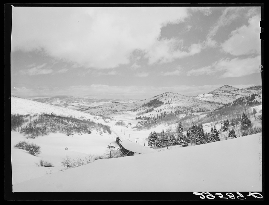
Taken for the Office of War Information and the Farm Security Administration, who photographed the country between 1935 and 1944. Works of United States government photographers, with no known restriction on use. Each opens its catalogue record.
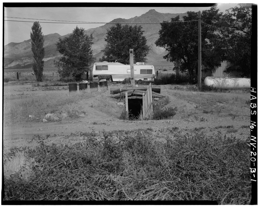
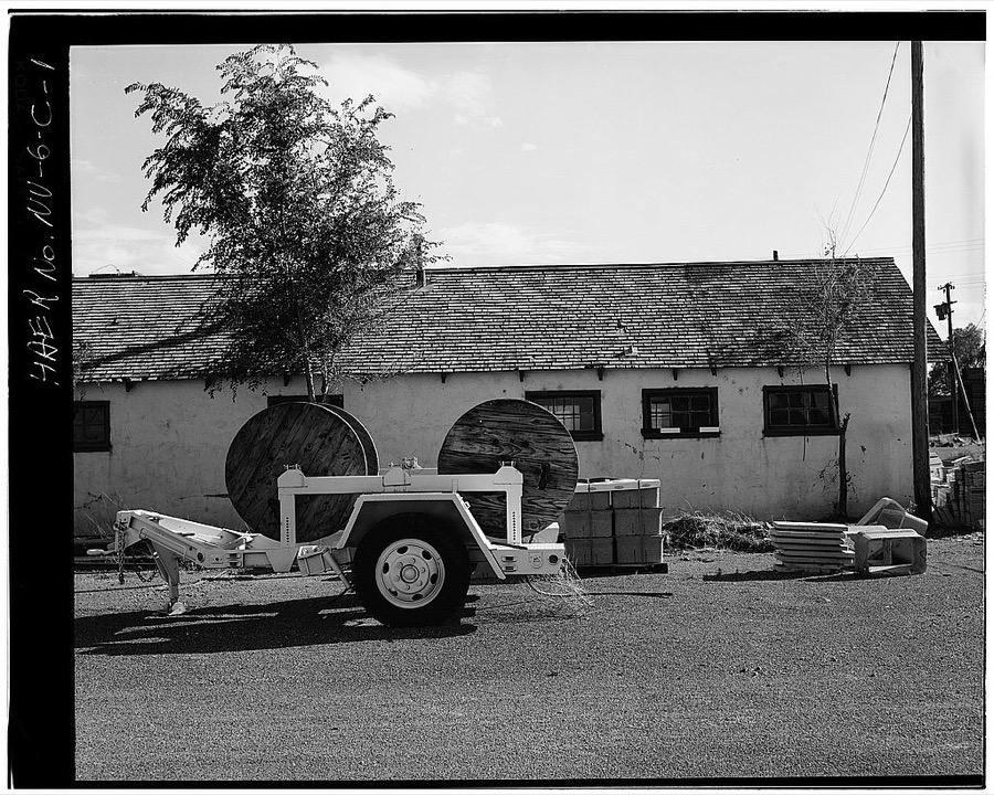
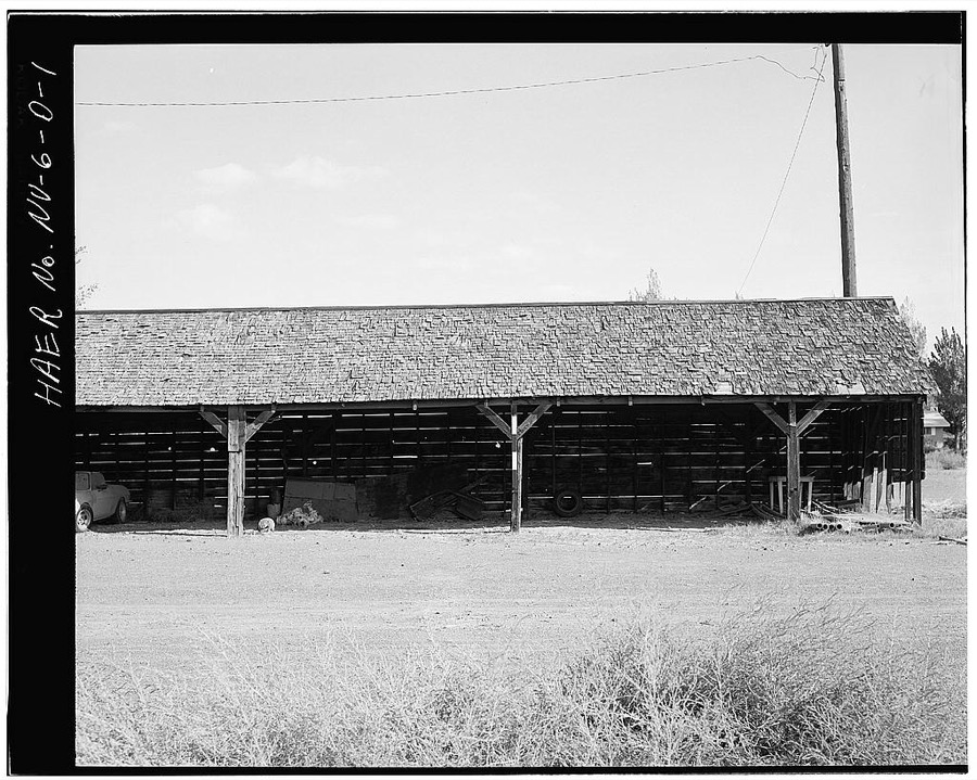
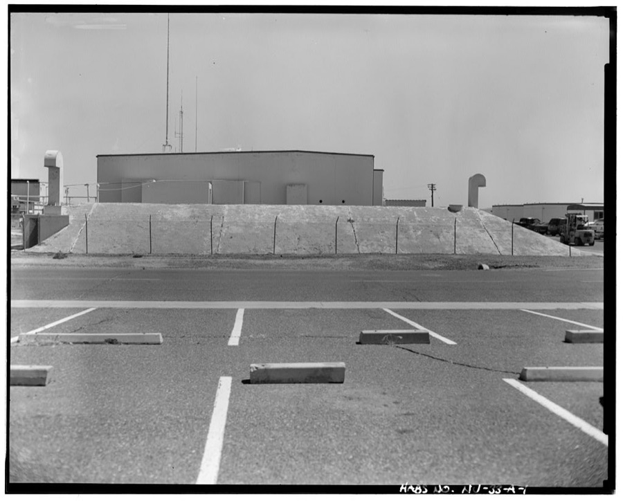
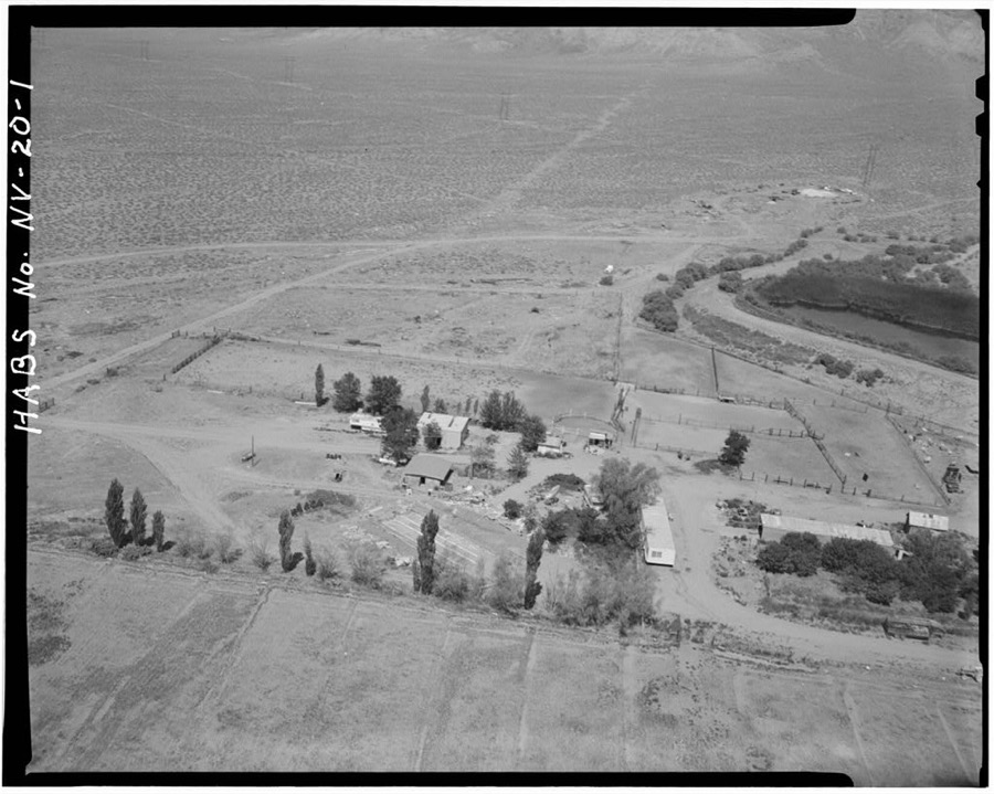
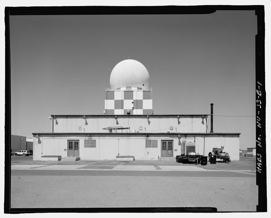
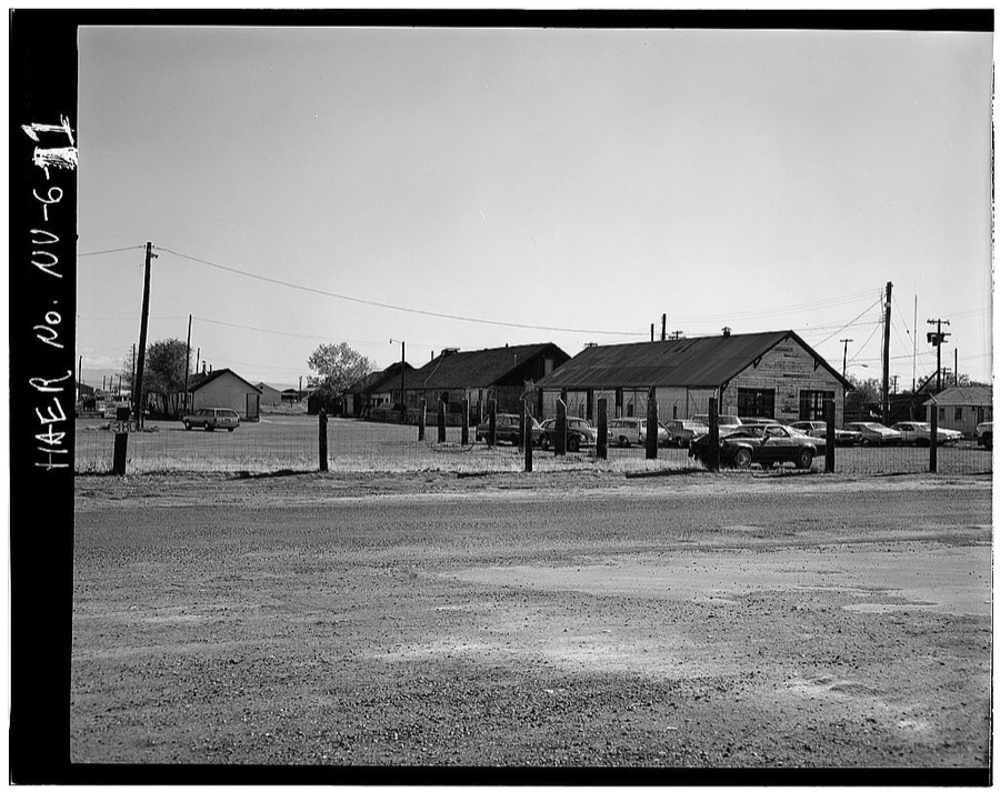
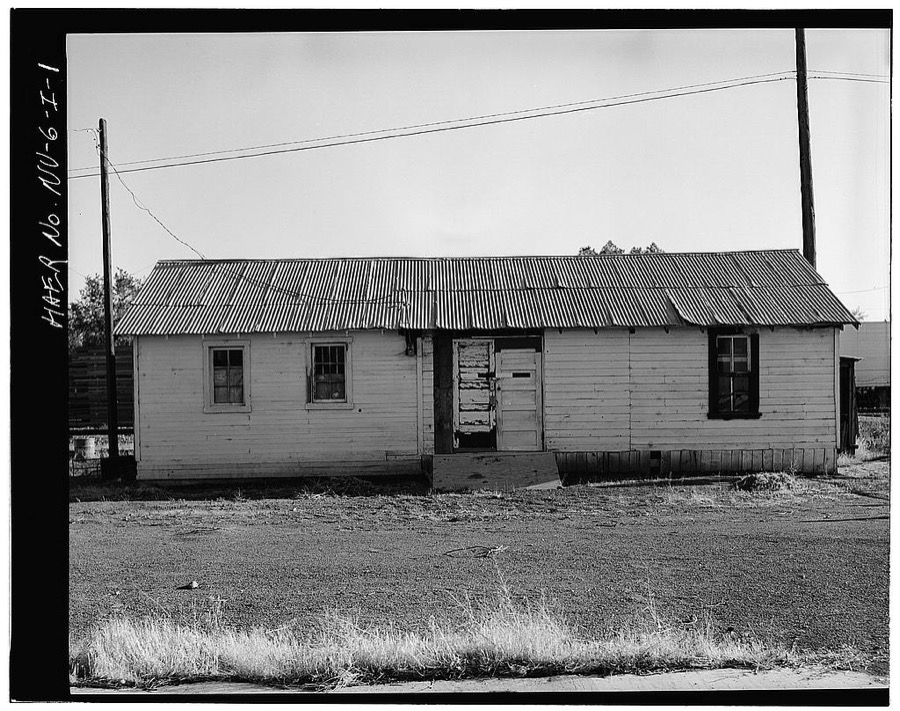
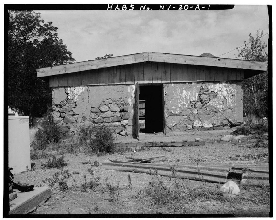
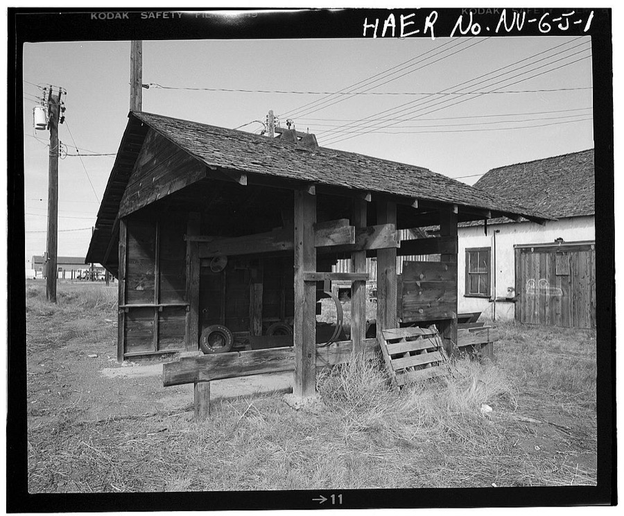
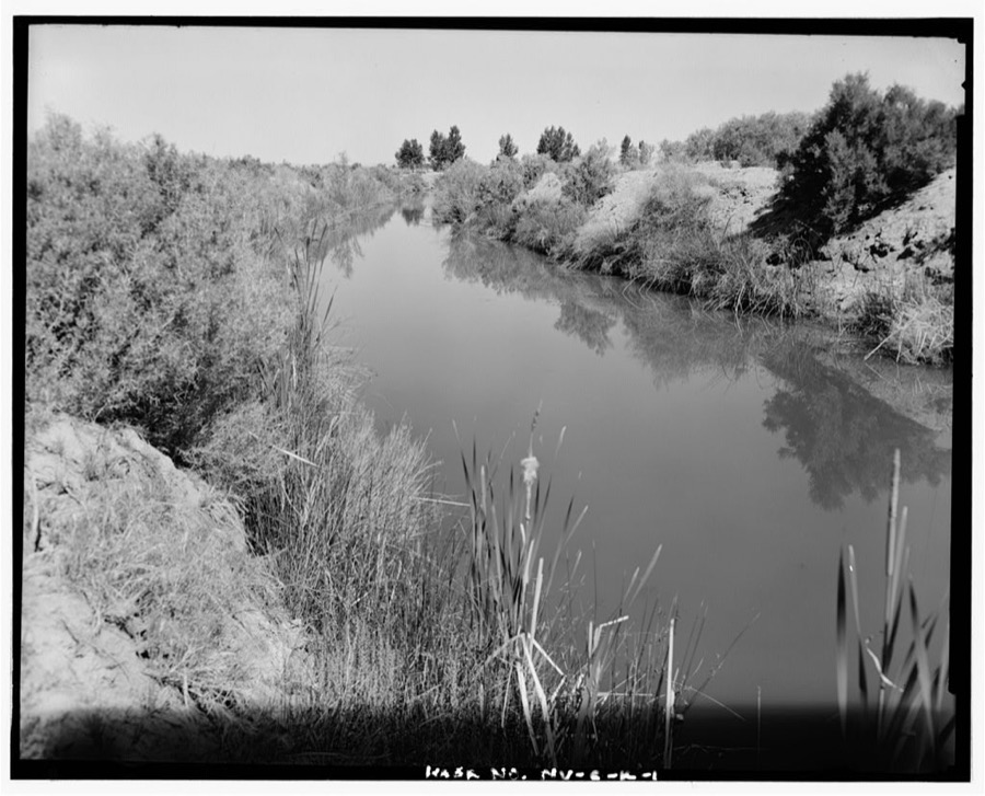
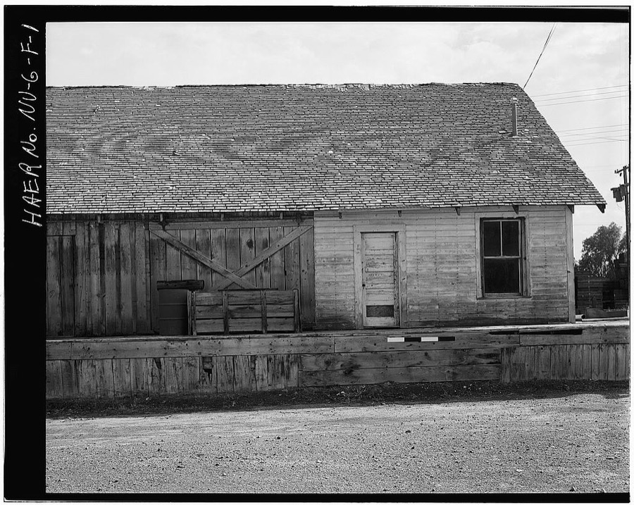
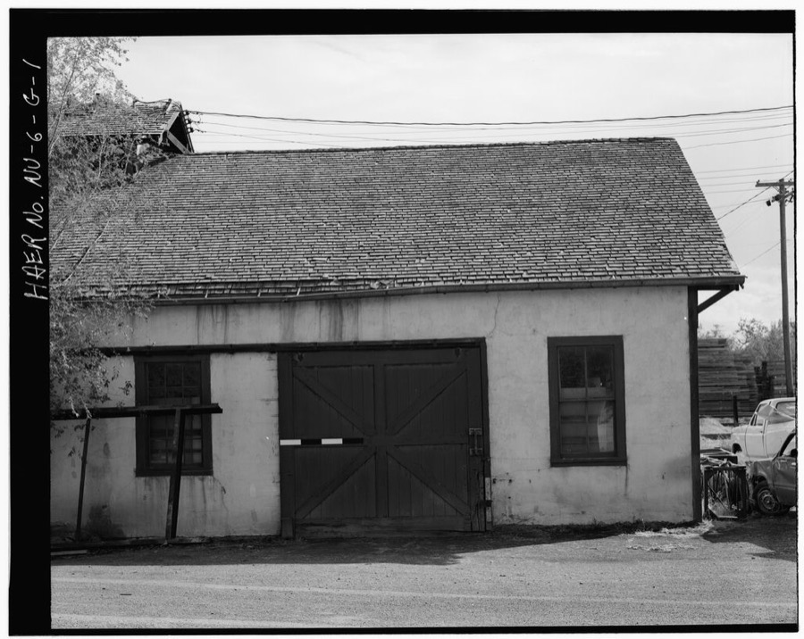
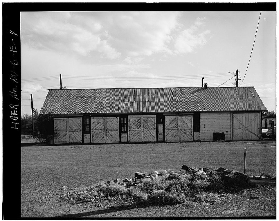
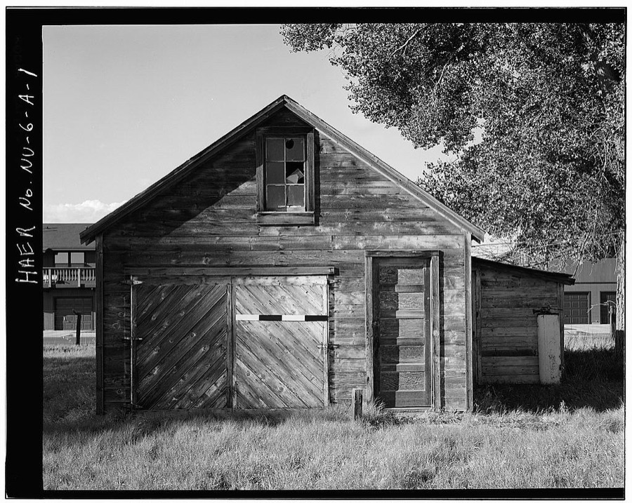
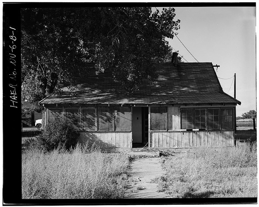
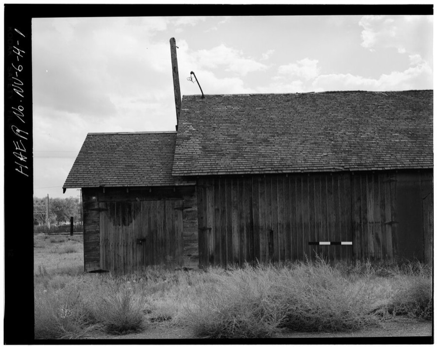
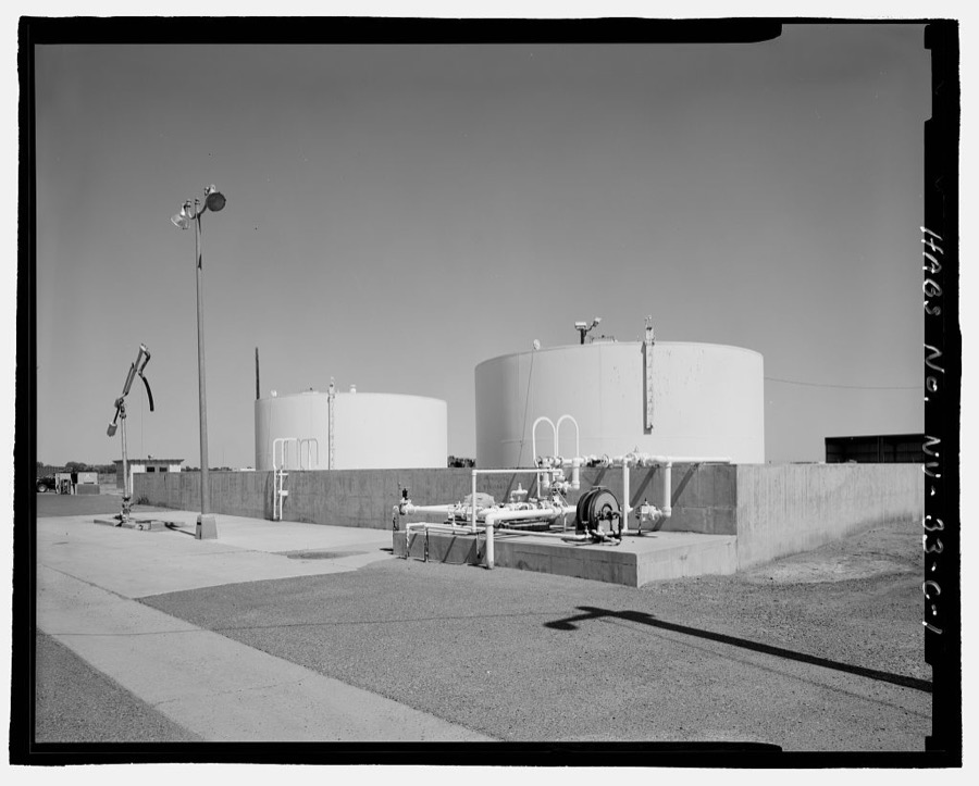
Every property in this county listed on the National Register of Historic Places, with the year it was listed and the federal nomination document.
| Photograph | Property | Type | Listed | Reference |
|---|---|---|---|---|
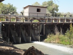 | Carson River Diversion Dam | structure | 1981 | 81000380 |
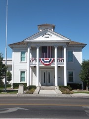 | Churchill County Courthouse | building | 1992 | 92001258 |
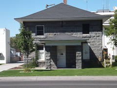 | Churchill County Jail | building | 2002 | 01001546 |
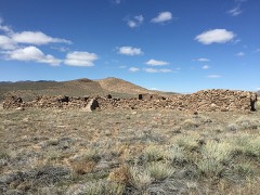 | Cold Springs Station Site | site | 1972 | 72000762 |
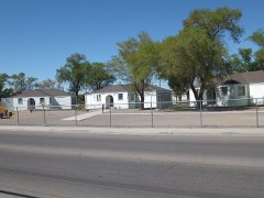 | Cottage Schools, The | building | 2008 | 08000509 |
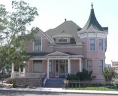 | Robert L. Douglass House | building | 2001 | 01000822 |
| Douglass-Frey Ranch | district | 2015 | 15000796 | |
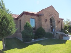 | Fallon City Hall | building | 2004 | 04001197 |
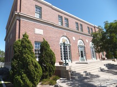 | Federal Building and Post Office | building | 2006 | 06000109 |
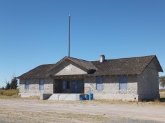 | Harmon School | building | 1989 | 89000055 |
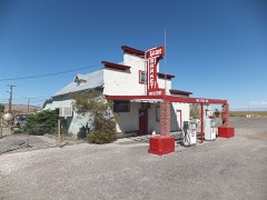 | Hazen Store | building | 2002 | 01001547 |
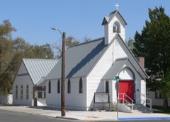 | Holy Trinity Episcopal Church | building | 2003 | 03000413 |
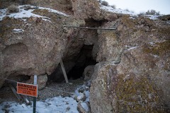 | Humboldt Cave | site | 1976 | 76001140 |
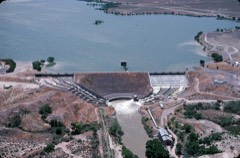 | Lahontan Dam and Power Station | structure | 1981 | 81000381 |
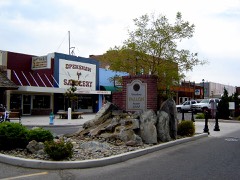 | Maine Street Historic District | district | 2019 | 100004098 |
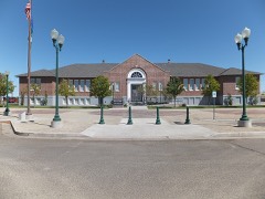 | Oats Park Grammar School | building | 1990 | 90000715 |
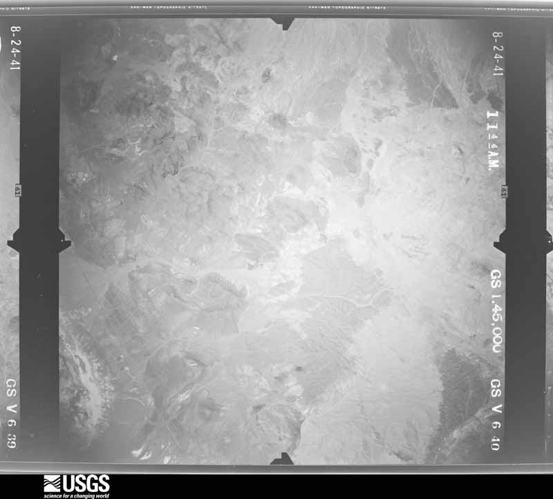
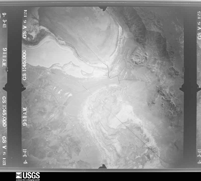
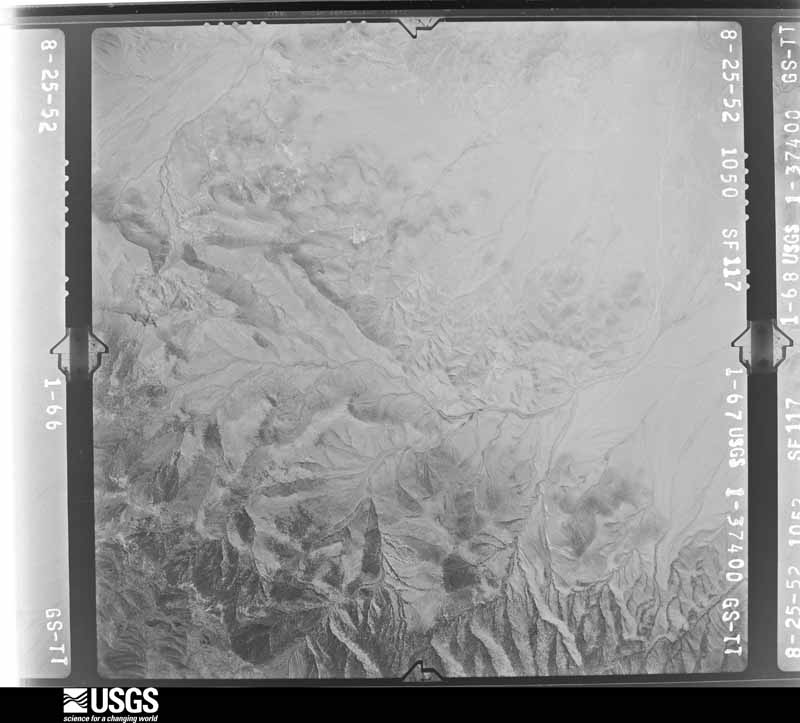
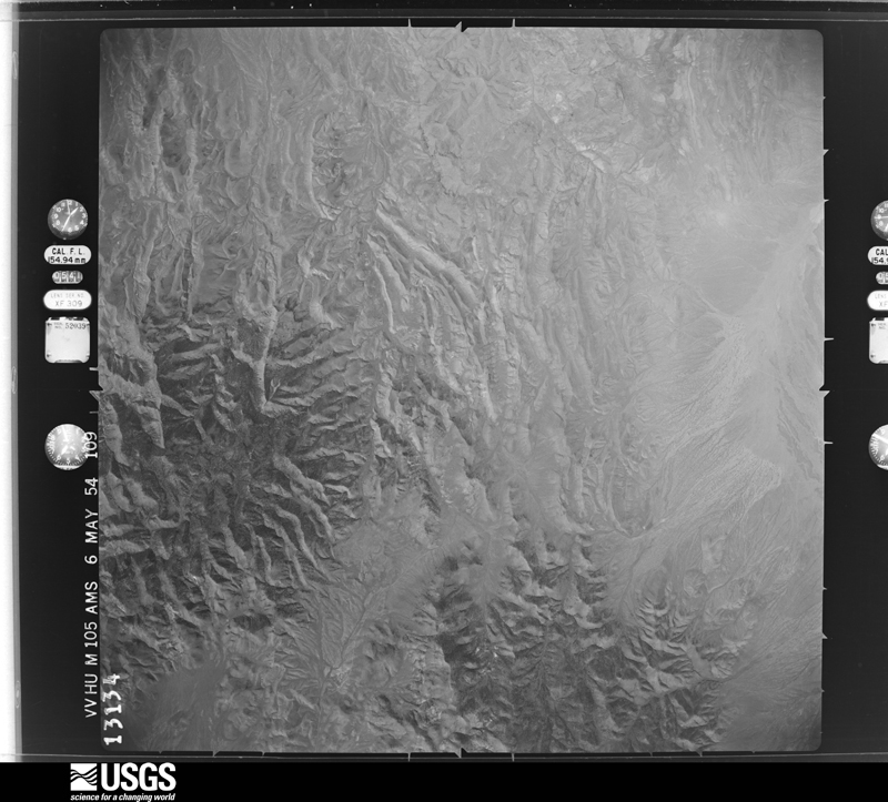
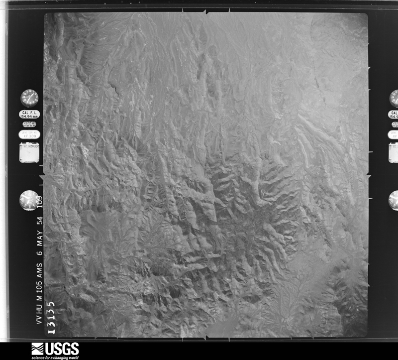
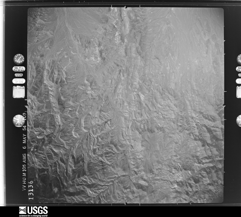
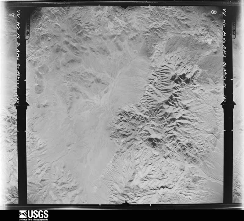
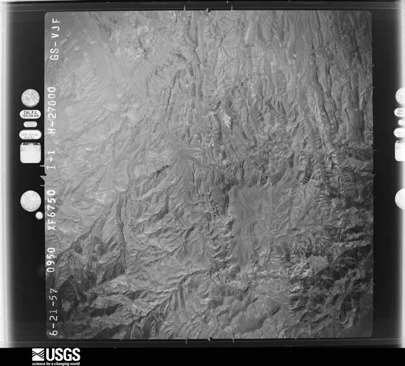
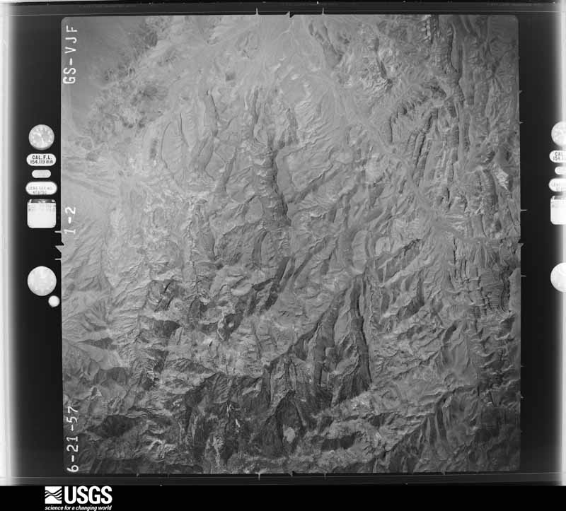
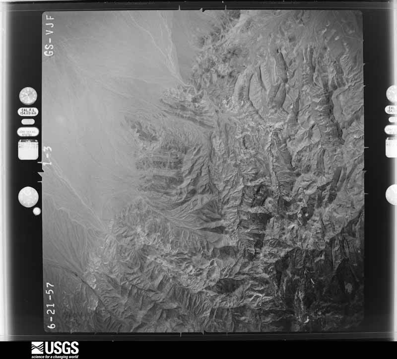
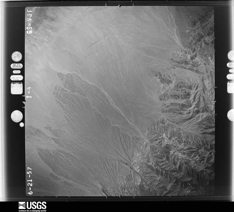
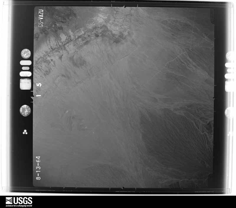
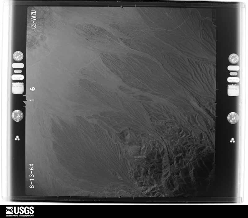
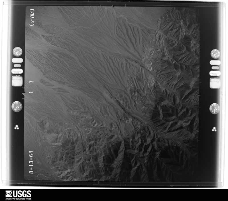
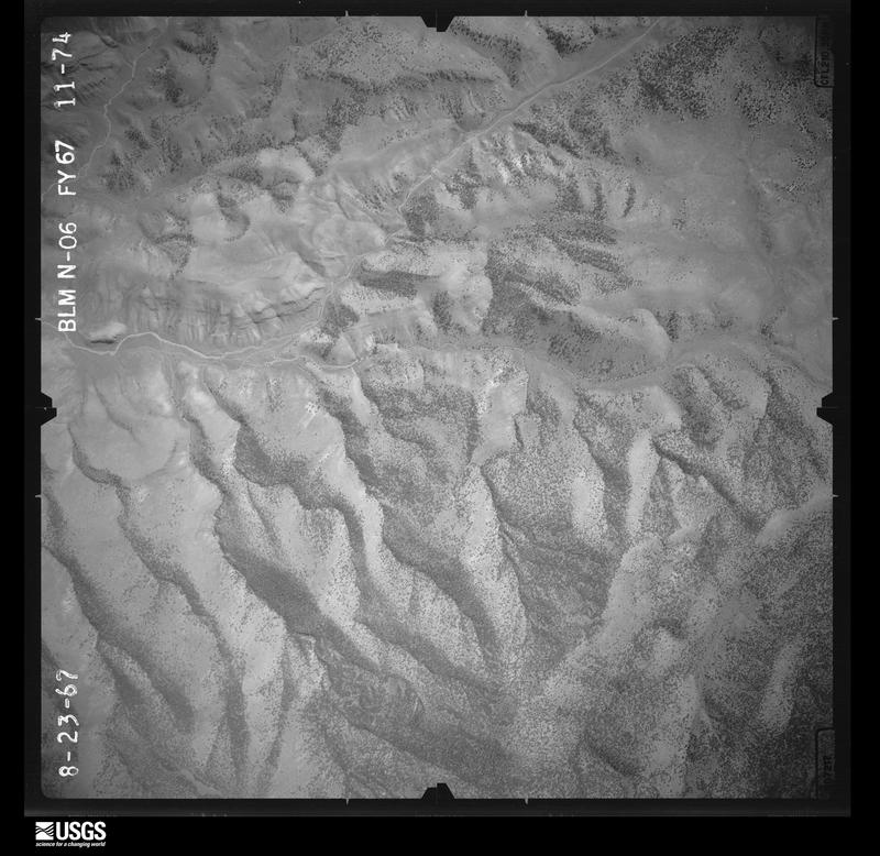
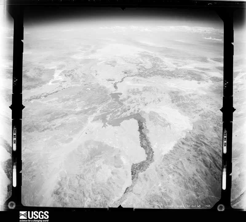
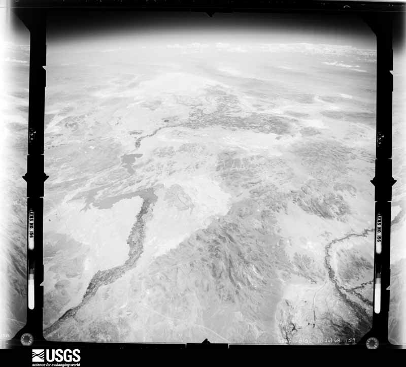
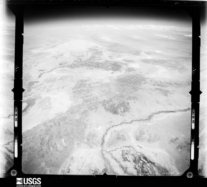
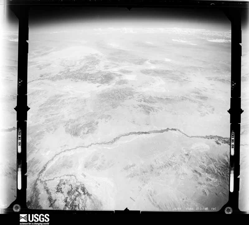
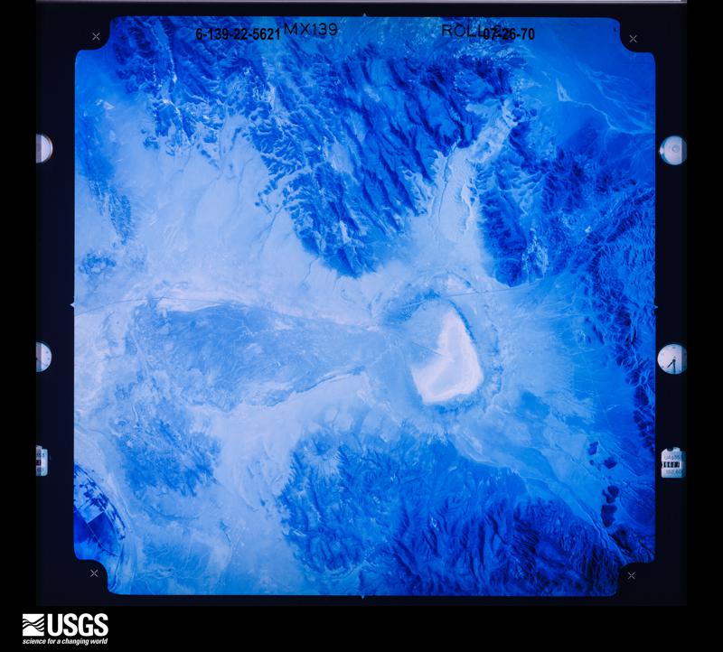
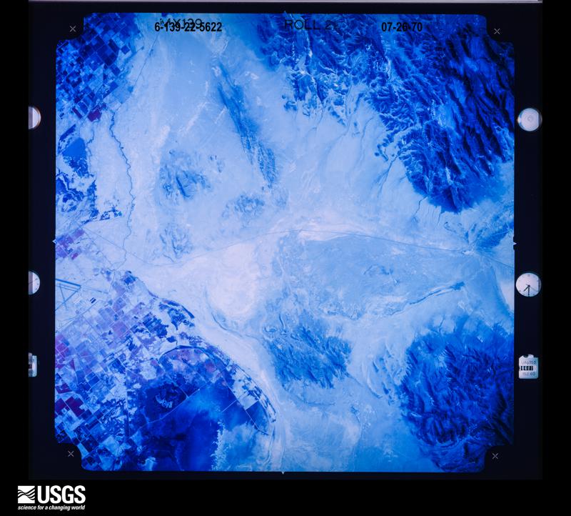
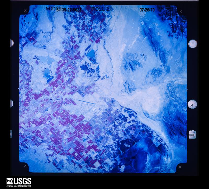
Flown by the U.S. Geological Survey between 1937 and 1989, the Aerial Photo Single Frames collection is the definitive mid-century view of the land: fields, roads and rivers as the camera saw them. The Survey holds 9,513 frames inside the rectangle that bounds this county; the 48 frames below were taken over the county itself, chosen across the decades of flights (at most four a year from that rectangle), so one flight cannot crowd out the rest. The full set is free to browse and download at EarthExplorer under the dataset Aerial Photo Single Frames.
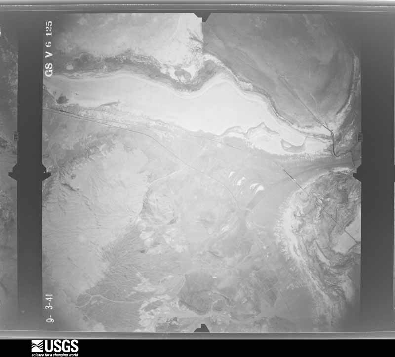
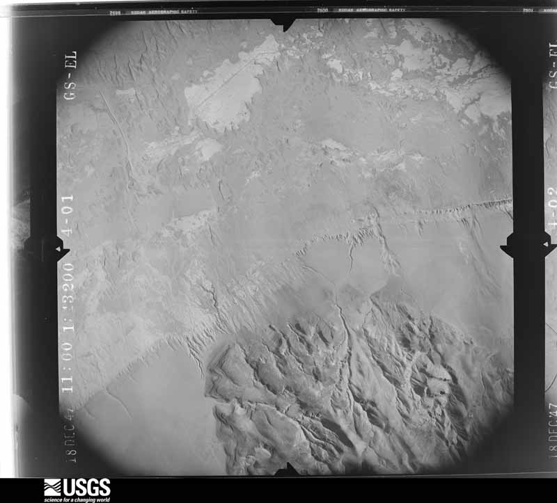
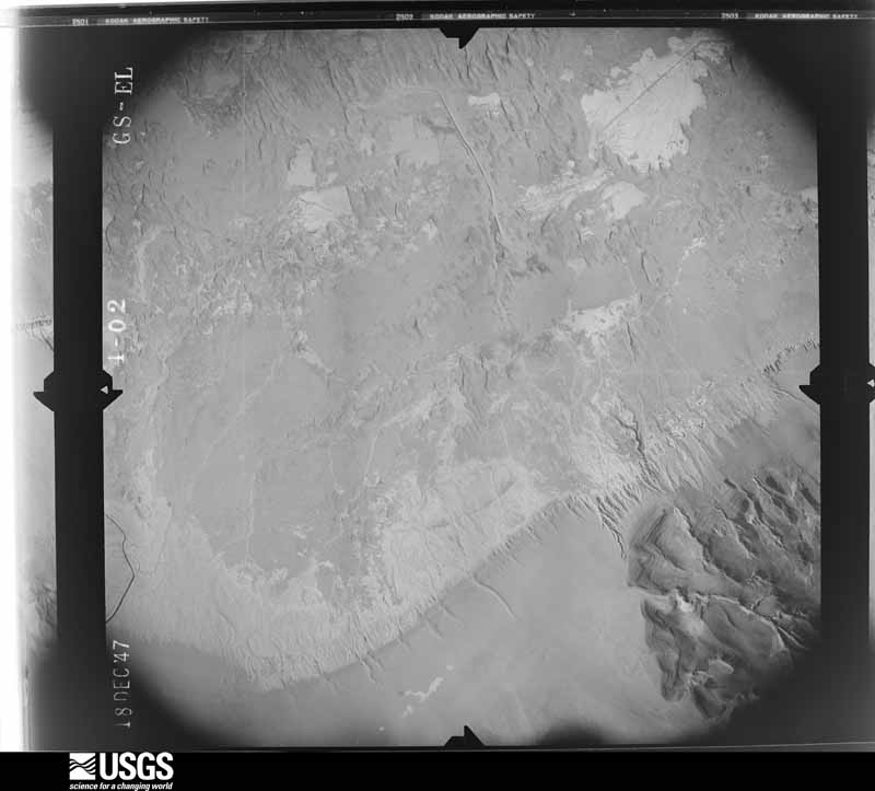
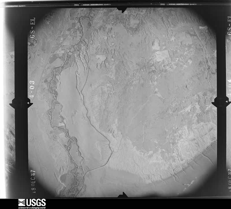
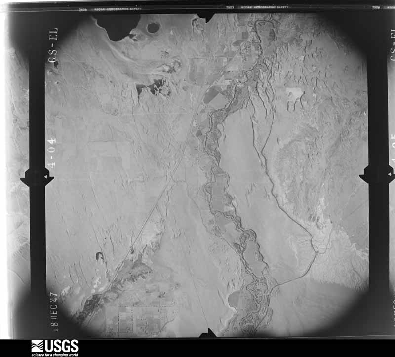
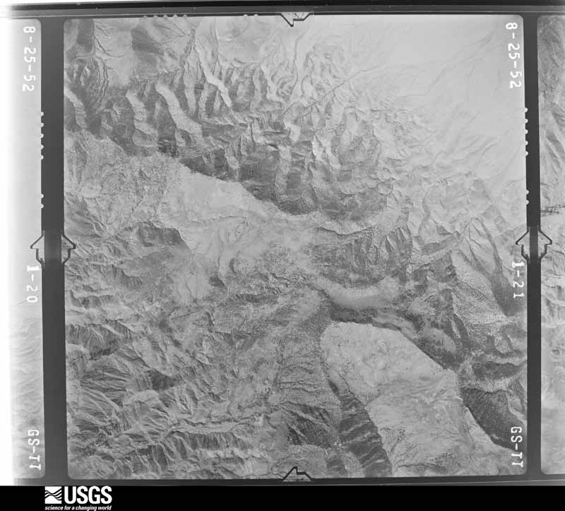
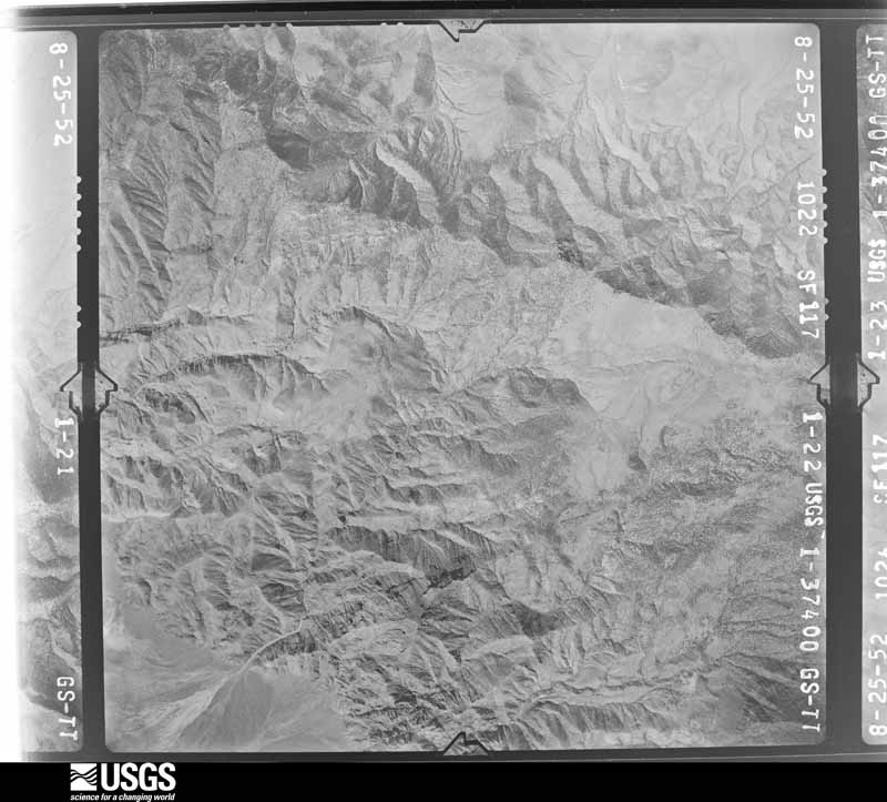
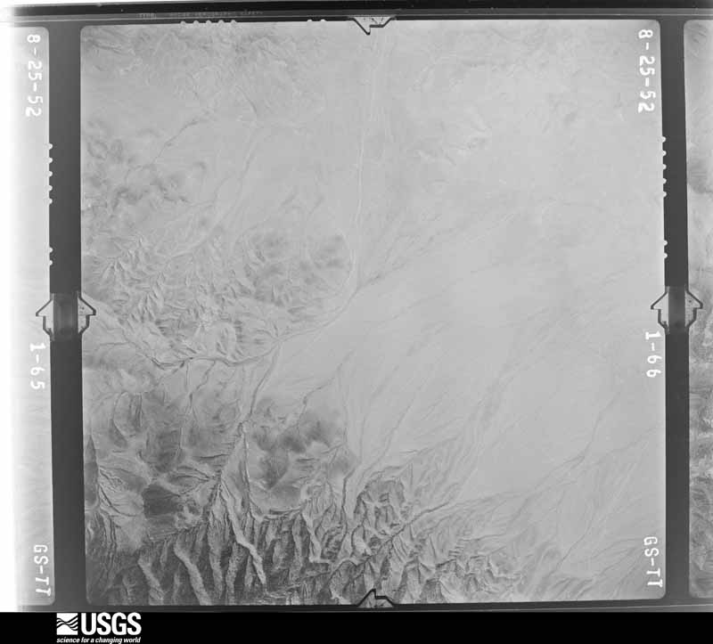
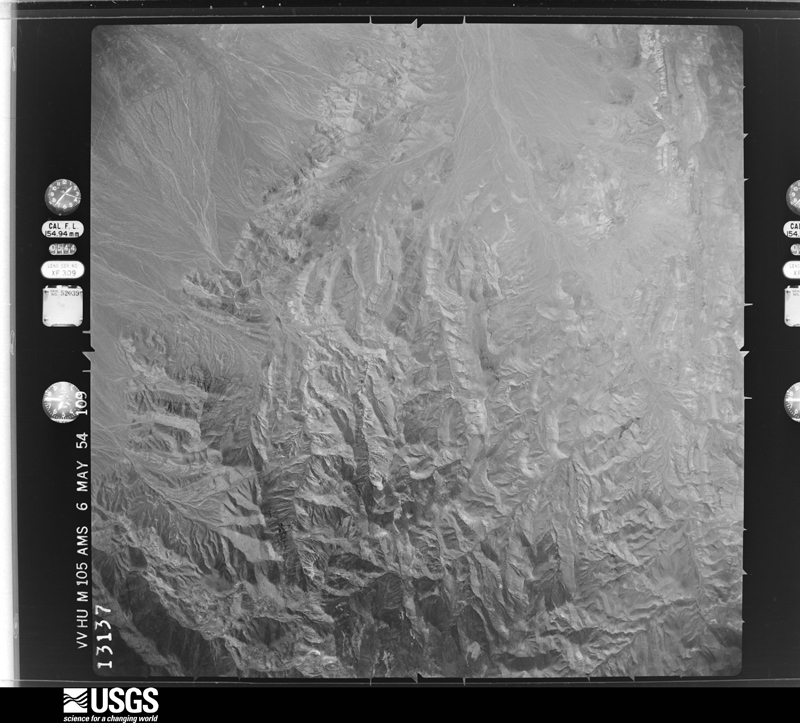
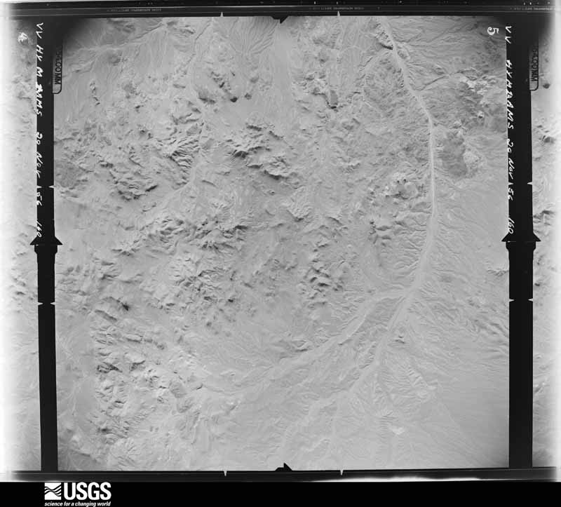
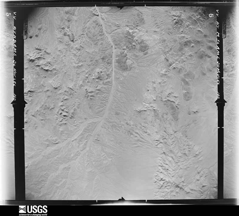
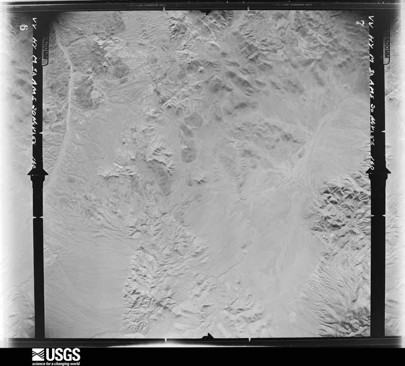
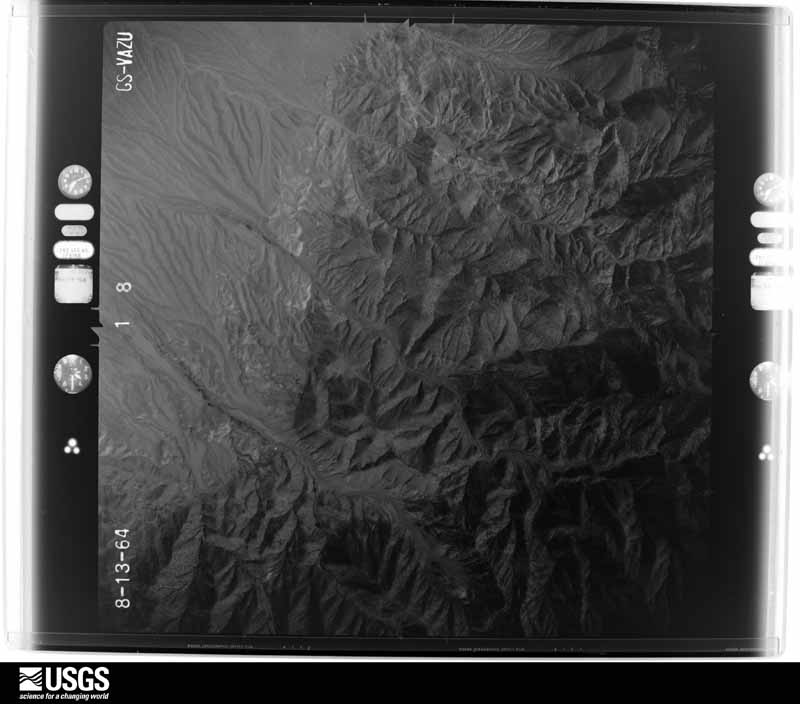
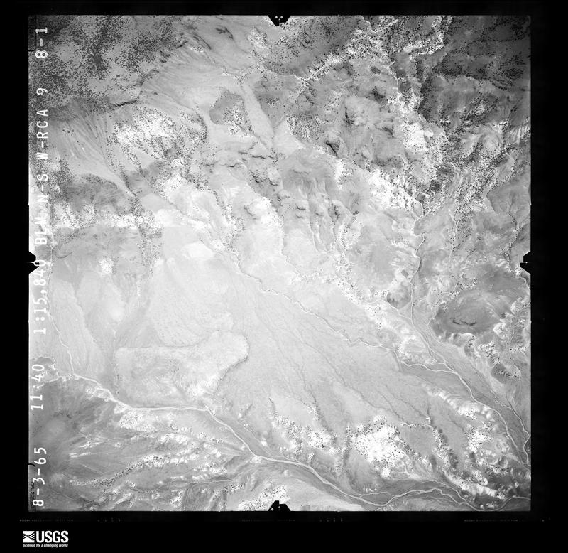
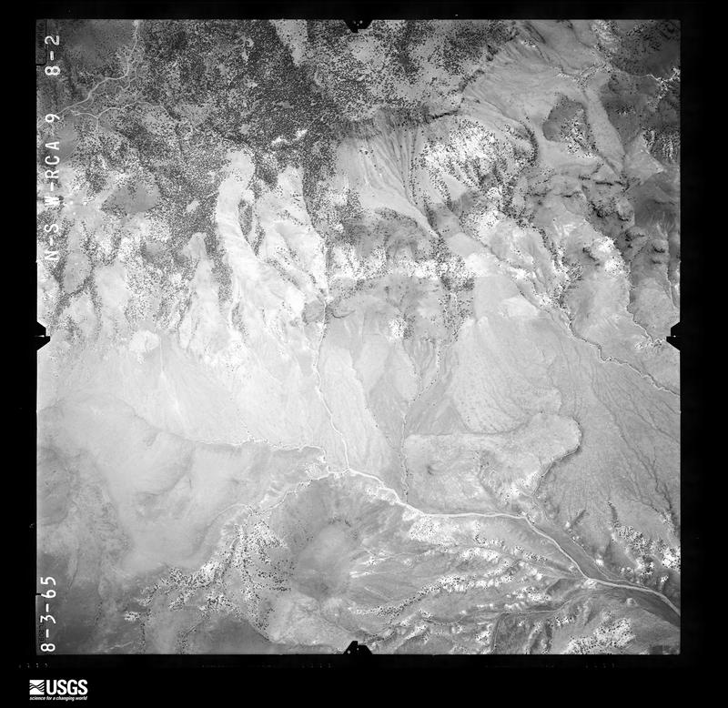
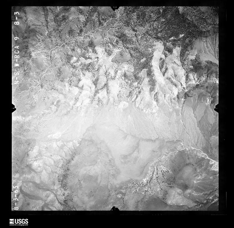
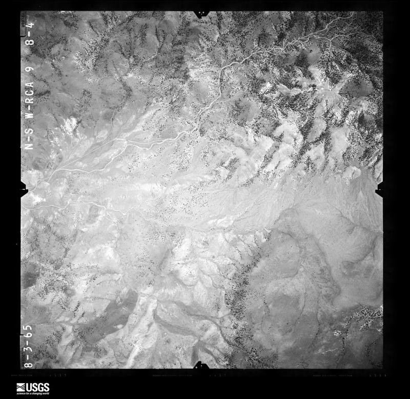
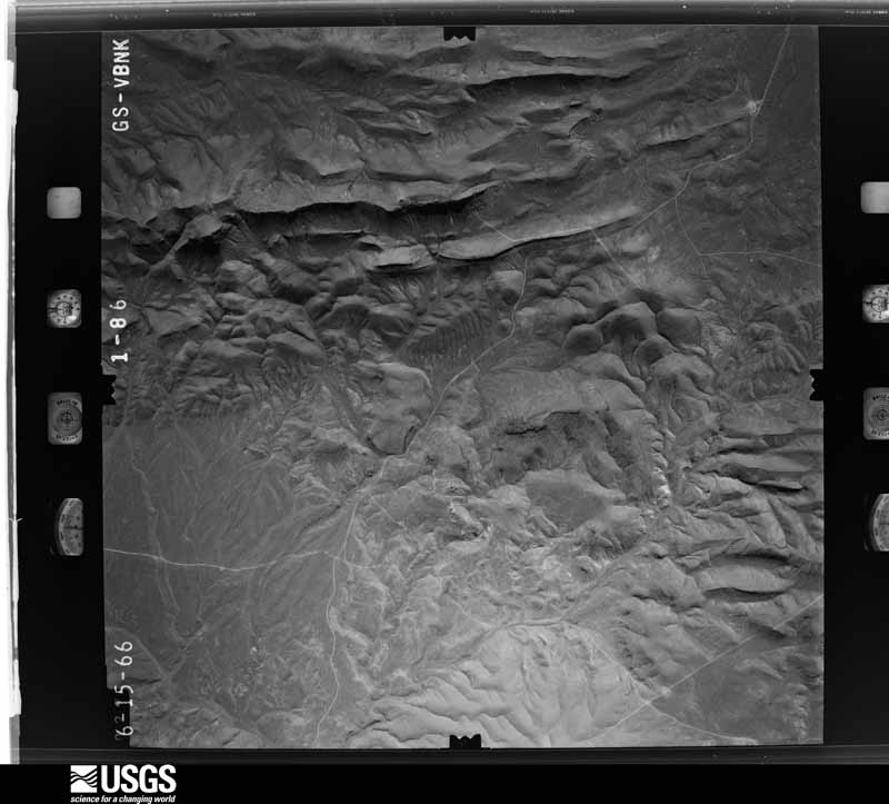
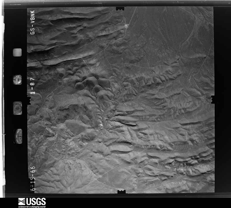
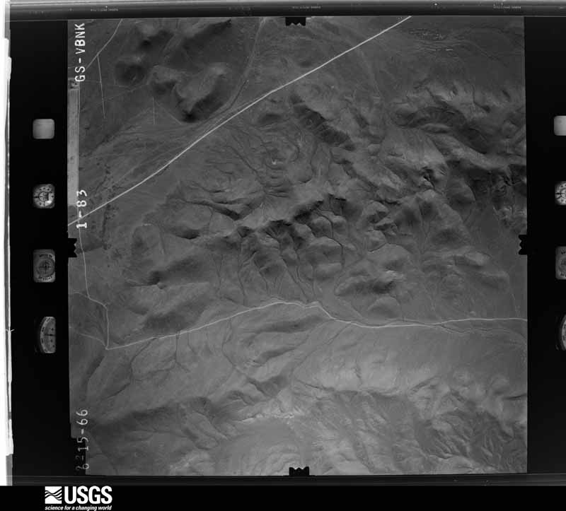
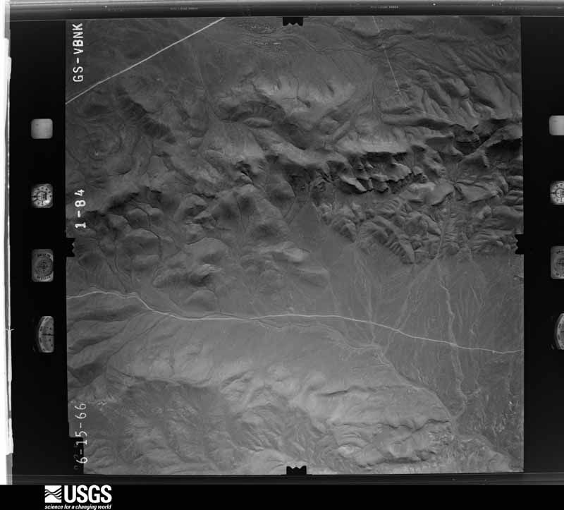
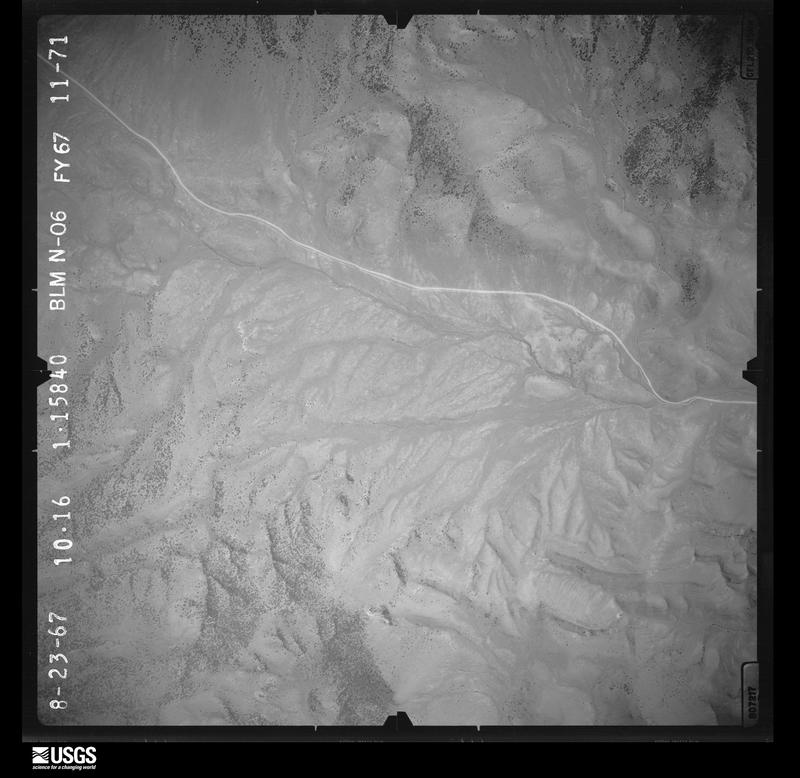
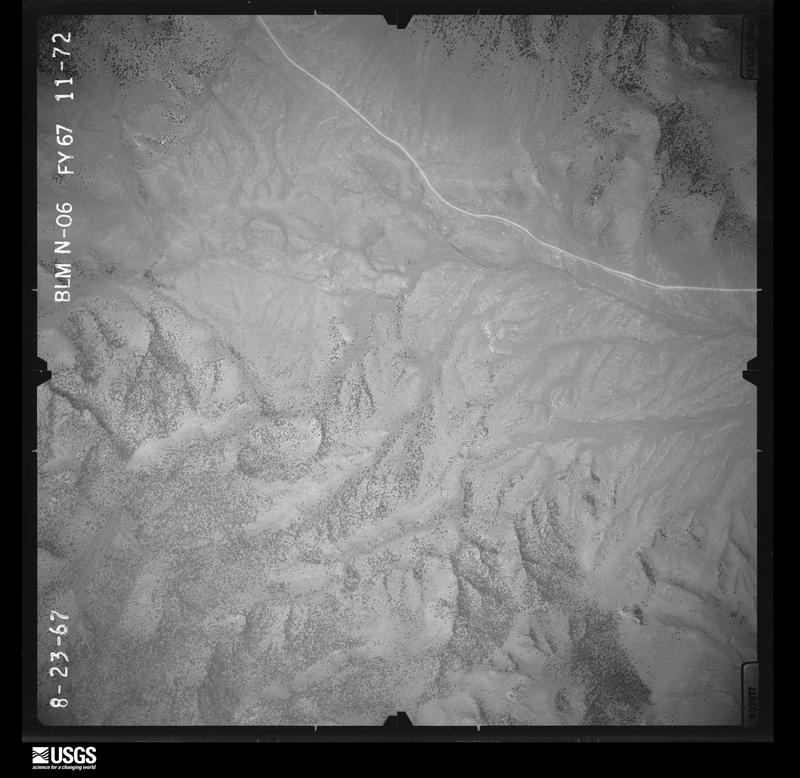
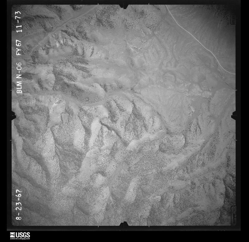
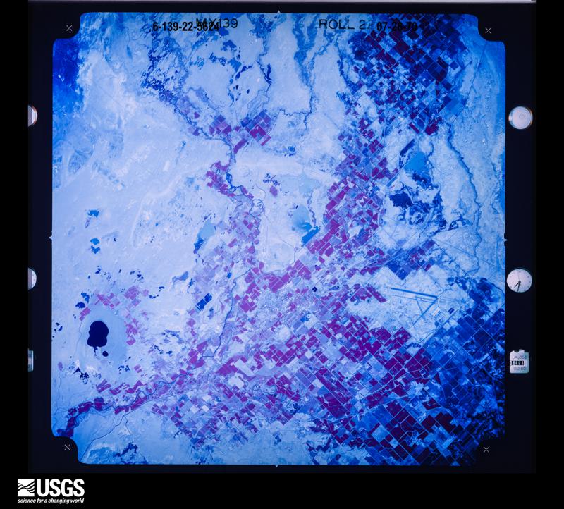
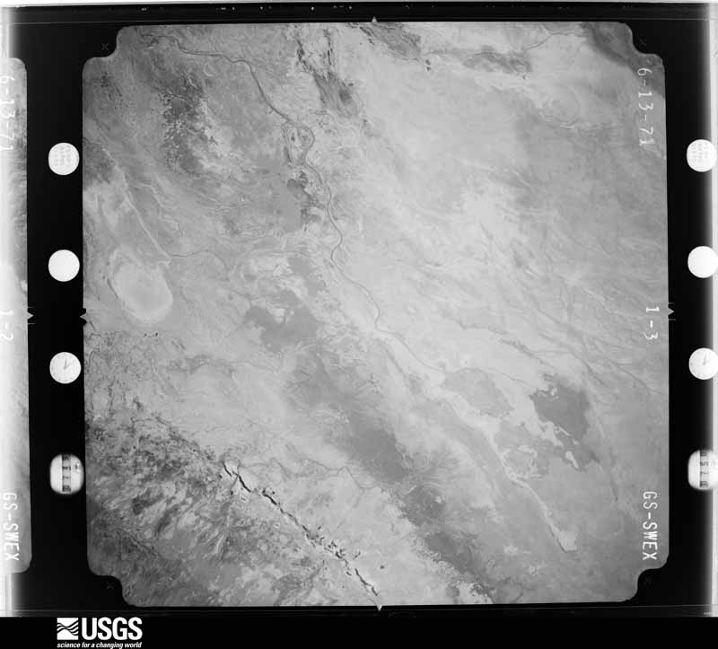
The thermometers that kept this county's weather, and the gages that measured the flow of its streams, as the federal records hold them. The extremes below are measured values from those records, not estimates.
Who lived here in 1950, one enumeration district at a time, as the Census Bureau described each district. Each row opens its official National Archives result, with Population Schedules and ED Maps available there.
Every wildfire the federal occurrence database records inside this county: 214 of them, burning about 306,896 acres. 125 started naturally and 4 were recorded as arson. Each settlement page carries the fires within five miles of it.
| Reported cause | Fires |
|---|---|
| Natural | 125 |
| Missing data/not specified/undetermined | 38 |
| Equipment and vehicle use | 18 |
| Debris and open burning | 14 |
| Firearms and explosives use | 7 |
| Arson/incendiarism | 4 |
| Recreation and ceremony | 4 |
| Smoking | 2 |
| Power generation/transmission/distribution | 2 |
The five largest, by the area the report gives. None of them was recorded as arson.
| Date | Cause | Size | Reported by | Name on the report |
|---|---|---|---|---|
| 4 August 1999 | Natural | 47,626 acres | Carson City District Office | NEW PASS |
| 1 August 2000 | Natural | 42,563 acres | Carson City District Office | TWIN PEAKS |
| 7 July 2017 | Natural | 27,506 acres | Carson City District Office | DRAW |
| 12 July 2017 | Firearms and explosives use | 23,387 acres | Carson City District Office | BRAVO17 |
| 16 May 2012 | Missing data/not specified/undetermined | 17,200 acres | Carson City District Office | WALL |
| 27 August 2017 | Natural | 16,755 acres | Carson City District Office | TUNGSTEN |
| 22 July 1999 | Debris and open burning | 15,360 acres | Carson City District Office | SANDSPRGS |
| 4 August 2000 | Natural | 13,348 acres | Winnemucca District Office | TRUCKEE |
Every settlement page carries the fires within five miles of it - see the settlement index below.
The NOAA Storm Events Database holds 75 reports for this county, causing no deaths, no injuries and about $46,500 in recorded property damage. Each settlement page carries the reports that name it.
| Kind of event | Reports |
|---|---|
| Thunderstorm Wind | 39 |
| Hail | 12 |
| Heavy Rain | 8 |
| Funnel Cloud | 6 |
| Tornado | 4 |
| Flash Flood | 2 |
| Dust Devil | 1 |
| Flood | 1 |
| Debris Flow | 1 |
| Lightning | 1 |
The most serious of them, by death, then injury, then recorded damage. The accounts are quoted exactly as the forecast office filed them.
| When | Event | Place named | Harm | What the report says |
|---|---|---|---|---|
| October 2010 | Flood | Fallon | $25,000 | Two separate heavy rain events, one on the 4th and one on the 7th, caused ponding of water to more than one foot deep at the Ideal Mobile Home Park. Other areas of Fallon had periodic standing water and minor flooding, some due to poor drainage. |
| June 2003 | Thunderstorm Wind | Fallon | $10,000 | Thunderstorm outflow winds estimated at 75 mph caused scattered damage across Fallon including 5 downed power poles, a large tree blown into a fuel storage tank and a destroyed home gazebo. |
| July 2007 | Thunderstorm Wind | Salt Wells | $5,000 | A trained weather spotter located on U.S. Highway 50 ten miles southeast of Salt Wells reported strong thunderstorm wind gusts which knocked down several large trees along with a power pole. |
| August 2012 | Thunderstorm Wind | Fallon | $2,000 | Thunderstorm winds caused a 4 to 5 foot diameter tree to fall on St. Clair Street in Fallon. |
| May 2009 | Thunderstorm Wind | Fallon | $2,000 | A trained weather spotter reported wind gusts to 43 knots (50 mph) near Fallon Station. The strong wind produced blowing dust which reduced visibility to around 3 miles. A tree was blown over onto a power line which resulted in a loss of power for a few minutes. |
| June 2007 | Thunderstorm Wind | Fallon | $1,000 | A trained weather spotter reported numerous trees blown down by strong thunderstorm wind gusts six miles northwest of Fallon. |
| May 2009 | Thunderstorm Wind | Fallon | $500 | A trained weather spotter reported that a 20-ft tall 2-ft diameter tree was blown down onto a fence. Numerous small branches from other trees were also broken by the strong wind gusts. |
| July 2008 | Thunderstorm Wind | La Hontan | $500 | A trained weather spotter reported that wind gusts estimated at 61 knots (70 mph) destroyed wire fencing near Lahontan Reservoir. One-half-inch-diameter hail also occurred with the thunderstorm. |
| July 1998 | Thunderstorm Wind | Fallon | $500 | Estimated peak wind gusts to 60 knots from thunderstorm outflow. Power lines, trees and a shed blown over. |
| May 2025 | Thunderstorm Wind | Dixie Vly | - | Peak outflow wind gust. Cherry Valley Mesonet station. Station Elevation: 7622 ft. |
| August 2025 | Thunderstorm Wind | Bango | - | Peak outflow gust 3.2 northeast of Lahontan Reservoir. |
| September 2025 | Thunderstorm Wind | Ocala | - | Mesonet station UP993, located 3.2 miles E of Trinity Junction. |
| July 2024 | Lightning | (Nfl)Nas Fallon | - | Thunderstorms moving N-NE across the Basin and Range/Fallon area initiated a cloud to ground lightning caused fire in one the distillery's Rye fields that burned away 25% of the Rye crop. The fire was quickly extinguished by the local fire department and neighboring farm/ranch workers. |
| October 2023 | Heavy Rain | Dixie Vly | - | A mesonet station (CYNV2-Cherry Valley ) located 7.0 mi E of Dixie Valley, NV reported a total rainfall amount of 0.59 inches. |
| September 2023 | Heavy Rain | Dixie Vly | - | A CoCoRAHs station (NV-CH-9) located 2.1 SSE of Fallon, NV, as well as mesonet stations located 13.6 mi NE of Schurz (RHDFL-DRI), 7.0 mi E of Dixie Valley (CYVN2-Cherry Valley), NV, and 9.8 mi NE of Cold Springs (EDCVY-DRI), NV, reported storm total rainfall amounts of 1.09, 0.91, 1.95, and 2.4 inches respectively. |
| December 2022 | Heavy Rain | Bango | - | Mesonet Station (EDCVY0) located 9.8 mi NE of Cold Springs, NV, and mesonet station (NBNG) located 3.2 mi NE of Lahontan Reservoir, NV, reported rainfall totals of 1.07 inches and 1.06 inches respectively. |
| August 2019 | Thunderstorm Wind | Frenchman | - | NDOT mesonet station 4 miles southeast of Sand Mountain recorded a 62 mph wind gust from the outflow of a nearby thunderstorm on 8 August 1337PST. |
| August 2019 | Thunderstorm Wind | Bradys Hot Spgs | - | NDOT mesonet station 14 miles west-southwest of Trinity Junction recorded a 60 mph wind gust from the outflow of a nearby thunderstorm on 7 August 1330PST. |
| December 2018 | Heavy Rain | (Nfl)Nas Fallon | - | Mesonet station DEDN2 near Dead Camel Mountain reported 0.5 inches of rainfall in a 24-hour period from 24 December 0647PST to 25 December 0647PST. Mesonet elevation 4549 feet MSL. |
| April 2018 | Heavy Rain | Fallon | - | ASOS NFL, Fallon Naval Air Station (elevation 3934 feet) reported 0.59 inches of rainfall in a 24 hour period from 6 April 0956PST to 7 April 0956PST. |
| April 2018 | Heavy Rain | Bango | - | Mesonet station AU485, 5 miles east-northeast of Lahontan Reservoir (elevation 4098 feet) reported 0.62 inches of rainfall in a 24 hour period from 6 April 0939PST to 7 April 0939PST. |
| April 2018 | Heavy Rain | Dixie Vly | - | Mesonet station BNCN2, Bernice Canyon (elevation 5812 feet) reported 0.65 inches of rainfall in a 24 hour period from 6 April 0720PST to 7 April 0720PST. |
| May 2018 | Heavy Rain | Fallon | - | ASOS station NFL, Fallon Naval Air Station (elevation 3934 feet) reported 0.52 inches of rainfall from 16 May 1341PST to 1856PST. |
| June 2017 | Thunderstorm Wind | Ocala | - | The wind gust was measured at Lovelock-Derby Field. Visibility was reduced to 1.25 miles due to blowing dust with the outflow winds. Another thunderstorm brought visibility as low as 1/4 mile between 1810PST and 1820PST (with gusts up to 53 mph). |
| August 2017 | Thunderstorm Wind | Parran | - | A pulse thunderstorm produced a 53-knot peak gust at the Hot Springs Mountain HADS site. |
| May 2016 | Thunderstorm Wind | Fallon | - | A line of thunderstorms approximately 15 to 30 miles west of Fallon produced outflow winds as high as 49 mph gusting to 60 mph at the Naval Air Station in Fallon. Visibility was reduced to between 1 and 2 miles as the wind kicked up large amounts of dust. |
| August 2015 | Thunderstorm Wind | (Nfl)Nas Fallon | - | Wind gust reported at the Dead Camel RAWS due to nearby very high-based showers. The time of the gust was between 0547PST and 0647PST, with exact time estimated by radar. |
| July 2015 | Thunderstorm Wind | Fallon | - | Wind gusts of 61 to 63 mph were recorded at the Naval Air Station in Fallon. The highest wind gust was recorded at at 1505PST. |
| September 2014 | Debris Flow | Frenchman | - | Up to 2 feet of mud was reported across state highway 121 (Dixie Valley Rd) around 10 miles north of the intersection with highway 50. |
| July 2014 | Thunderstorm Wind | (Nfl)Nas Fallon | - | Maximum wind gust measured at the Dead Camel RAWS between 1347PST and 1447PST. Time of gust estimated from radar. |
| July 2014 | Thunderstorm Wind | Ocala | - | The Lovelock airport measured sustained winds of 44 mph with gusts to 61 mph. |
| May 2014 | Flash Flood | Frenchman | - | A significant amount of water over state road 121 was reported by NDOT. There was also rock and dirt debris with the fast-flowing water which caused the closure of the road. The time of the flash flood was estimated based on radar as the reports were received after the actual event. |
| April 2012 | Thunderstorm Wind | Fallon | - | The Naval Air Station in Fallon reported this wind gust. Sustained winds were 41 mph at 1452PST. |
| August 2012 | Thunderstorm Wind | Bango | - | A sensor west of Ragtown near highway 50 reported gusts to 77 mph. |
| June 2009 | Hail | Fallon | - | A trained weather spotter located 3 miles southeast of Fallon reported hail of 1-inch diameter. |
| May 2009 | Flash Flood | Eastgate | - | The Churchill County Sheriff's Office reported flash flooding near Middlegate Station. The flash flooding was affecting Nevada Highway 722 and U.S. Highway 50 between Eastgate and Middlegate. |
| June 2008 | Thunderstorm Wind | Fallon | - | The wind sensor at NAS Fallon recorded a wind gust of 52 knots (60 mph). |
| June 2008 | Thunderstorm Wind | Ocala | - | The DRI wind sensor in the Carson Sink recorded a wind gust of 56 knots (64 mph). The gusty winds were the result of outflows from earlier thunderstorms near Fallon. |
| July 2008 | Hail | Fallon | - | A trained weather spotter in Fallon reported one-inch-diameter hail. |
| July 2008 | Hail | Fallon | - | A National Weather Service employee reported three-quarter-inch-diameter hail in Fallon. |
| July 2008 | Funnel Cloud | Fallon | - | A trained weather spotter reported a funnel cloud just west of Fallon. |
| July 2008 | Funnel Cloud | Fallon Arpt | - | A trained weather spotter reported a funnel cloud north of Fallon. |
| July 2008 | Funnel Cloud | (Nfl)Nas Fallon | - | A trained weather spotter located 4 miles southeast of Fallon reported the occurrence of numerous funnel clouds. |
| July 2008 | Hail | La Hontan | - | A trained weather spotter reported 3/4 inch hail on U.S. Highway 95 between Yerington and Silver Springs. |
| July 2008 | Hail | La Hontan | - | A trained weather spotter reported nickel-sized hail. |
| July 2008 | Thunderstorm Wind | La Hontan | - | A trained weather spotter located 3 miles east of Lahontan Reservoir reported a 58-knot (67-mph) wind gust. |
| July 2008 | Funnel Cloud | La Hontan | - | A trained weather spotter reported a wall cloud and a funnel cloud over Lahontan Reservoir. |
| July 2008 | Thunderstorm Wind | Fallon | - | A trained weather spotter located 1 mile southwest of Fallon estimated wind gusts of 52 knots (60 mph). Power outages were reported along with areas of blowing dust. |
| July 2008 | Hail | Fallon Arpt | - | A trained weather spotter located 4 miles north of Fallon reported nickel-sized hail. |
| June 2008 | Thunderstorm Wind | La Hontan | - | A wind gust of 51 knots (59 mph) was recorded at the Dead Camel RAWS site. |
| June 2008 | Thunderstorm Wind | (Nfl)Nas Fallon | - | A wind gust of 52 knots (60 mph) was recorded by the DRI sensor at Rawhide Flats. |
| July 2008 | Funnel Cloud | Fallon | - | A trained weather spotter reported a funnel cloud west of Fallon. |
| July 2008 | Hail | Fallon | - | A trained weather spotter located 1 mile southwest of Fallon reported one-and-a-quarter-inch-diameter hail. |
| July 2007 | Thunderstorm Wind | Huxley | - | A trained weather spotter reported a wind gust of 56 knots (65 mph) on Interstate 80 near mile marker 86. |
| July 2007 | Thunderstorm Wind | Fallon | - | A trained weather spotter located 4 miles SSW of Fallon reported a thunderstorm wind gust to 52 knots (60 mph). The wind gust produced an area of blowing dust which reduced visibility to less than 1 mile. |
| July 2007 | Thunderstorm Wind | (Nfl)Nas Fallon | - | The Fallon Naval Air Station ASOS recorded a thunderstorm wind gust of 50 knots (58 mph). |
| July 2007 | Thunderstorm Wind | Dixie Vly | - | A trained weather spotter reported a wind gust of 55 knots (63 mph) in northern Churchill County. |
| July 2007 | Thunderstorm Wind | Fallon | - | A trained weather spotter located 4 miles SSW of Fallon reported a thunderstorm wind gust of 61 knots (70 mph). |
| August 2006 | Dust Devil | Ocala | - | Nevada Highway Patrol reported a large dust devil just south of Interstate 80, two miles west of Ocala. The dust devil was reported to be the diameter of a football field. |
| July 2004 | Thunderstorm Wind | Fallon | - | A large tree was blown down onto Stillwater Road. Blowing dust also reduced visibility to near zero. |
The Survey's mineral resources record lists 786 workings inside this county. 47 still produce and 739 are closed or unrecorded. Each settlement page carries the workings within five miles of it.
| Commodity | Workings |
|---|---|
| Gold | 179 |
| Silver | 130 |
| Silver, Gold | 111 |
| Gold, Silver | 63 |
| Sand and Gravel, Construction | 52 |
| Tungsten | 50 |
| Antimony | 40 |
| Diatomite | 39 |
| Copper | 32 |
| Lead | 26 |
| Iron | 23 |
| Mercury | 21 |
| Fluorine-Fluorite | 18 |
| Molybdenum | 14 |
The least common of them first, because a county's hundredth gravel pit says nothing its first ten did not.
| Where | Site | Commodity | Status | Recorded |
|---|---|---|---|---|
| Afterthought | Lead, Iron, Copper, Gold, Zinc, Molybdenum | Past Producer | 1963 | |
| Antimony King Mine | Antimony, Silver, Gold, Zinc, Arsenic, Iron | Producer | Vein | |
| Bell Nickel Mine | Nickel, Cobalt | Prospect | ||
| Berg Claims | Zinc, Silver, Lead, Molybdenum, Iron, Calcium, Titanium, Metal, Manganese, Boron-Borates, Beryllium, Bismuth, Cadmium, Copper, Niobium (Columbium), Vanadium, Tungsten | Prospect | Hemimorphite | |
| Bernice Mine | Antimony, Silver, Gold, Iron, Arsenic | Past Producer | 1886, 1890 | |
| Big Dea, Silver Duke Claims | Lead, Copper, Silver, Zinc, Tungsten | Prospect | ||
| Big Ledge #3 Adit | Silver, Gold, Copper, Manganese, Lead | Past Producer | 1906 | |
| Black Butte Mine | Gold, Silver, Lead, Iron, Zinc | Past Producer | Vein | |
| Black Joe Prospect | Iron, Phosphorus-Phosphates | Occurrence | 1942 | |
| Black Prince Group | Silver, Copper, Iron, Lead, Zinc, Gold | Past Producer | ||
| Blue Jacket | Lead, Zinc, Silver, Tungsten | Occurrence | ||
| Camp Terrill | Gold, Zinc, Silver, Manganese, Lead | Past Producer | ||
| Chalk Mountain Mine | Lead, Copper, Zinc, Tungsten, Silver, Molybdenum, Gold, Uranium | Past Producer | ||
| Chalk Mountain Silver-Lead Mine | Silver, Lead, Arsenic, Gold, Zinc, Iron, Molybdenum | Past Producer | Anglesite, Cerargyrite, Copper, Plumbojarosite, Vanadinite, Wulfenite | |
| Copper Canyon | Copper, Zinc, Silver, Gold | Prospect | ||
| Copper Queen Mine | Copper, Tungsten | Occurrence | Scheelite | |
| Coppereid | Copper, Iron, Tin, Silver, Gold | Past Producer | Contact Metamorphic | |
| Coppereid Mine | Copper, Zinc, Lead, Iron, Tin, Fluorine-Fluorite | Past Producer | 1869, 1893 | |
| Corral Canyon Titanium | Gold, Silver, Zinc, Iron, Titanium, Metal | Past Producer | 1925, 1927, 1935 | |
| Cottonwood Canyon Area | Copper, Rhodium, Palladium, Platinum | Occurrence | Unknown | |
| Creore Mine | Lead, Copper, Silver | Occurrence | Underground | |
| Cyclone Group | Fluorine-Fluorite, Silver, Lead, Gold | Past Producer | ||
| Desert Peak Pumice | Stone | Past Producer | Pumice | |
| Dixie Marsh Borax | Halite, Boron-Borates, Bromine | Past Producer | 1861, 1872 | |
| Erway Quicksilver | Mercury, Sulfur, Gypsum-Anhydrite | Prospect | 1943 | |
| Fairview | Mercury, Gold | Occurrence | Vein | |
| Fairview Eagle | Silver, Gold, Mercury, Manganese | Past Producer | Vein | |
| Fallon Eagle Mine | Gold, Silver, Arsenic, Boron-Borates, Copper | Past Producer | Vein | |
| Fbs Prospect | Gold, Silver, Molybdenum | Prospect | ||
| Fireball Ridge | Silver, Copper, Lead, Gold, Tungsten, Zinc | Prospect | vein | |
| Flint Rock | Silica | Past Producer | ||
| Gamma Group Nos. 1 and 2 | Uranium, Lignite | Prospect | ||
| Gianinni Lead-Silver Prospect | Lead, Zinc, Silver, Gold, Copper | Past Producer | ||
| Golconda-Gold Wedge Group | Silver, Gold, Copper, Molybdenum | Past Producer | 1925 | |
| Gold Basin Mine | Gold, Zinc, Silver, Lead, Copper | Past Producer | ||
| Gold Ore Claims | Silver, Zinc, Lead, Gold | Occurrence | ||
| Good Hope Prospect | Silver, Copper, Gold | Occurrence | Gold | |
| Hard-To-Find Mine | Copper, Silver, Tungsten | Occurrence | Melaconite | |
| Hard-To-Find Mine | Tungsten, Molybdenum, Copper, Stone, Crushed/Broken | Prospect | ||
| Hazel Mine | Silver, Antimony, Lead, Selenium | Past Producer | 1865 | |
| Hazel Mine | Lead, Silver, Antimony | Past Producer | ||
| Hoyt Mine | Silver, Antimony, Tungsten | Producer | Scheelite, Stibnite, Tetrahedrite | |
| Hoyt Mine | Antimony, Silver, Arsenic, Iron | Past Producer | Vein | |
| Hoyt Mine | Silver, Lead, Gold, Antimony | Past Producer | ||
| Jaybird Mine | Tungsten, Gold, Molybdenum | Past Producer | ||
| Jessup Gold Prospect | Silver, Gold, Arsenic, Mercury, Tungsten, Antimony | Past Producer | 1908, 1940 | |
| K.D. Group | Copper, Iron, Uranium | Occurrence | ||
| La Plata Project | Molybdenum, Tungsten, Copper | Prospect | ||
| Lovelock Mine | Cobalt, Nickel, Copper | Past Producer | 1875 | |
| Lovelock Mine | Nickel, Uranium, Cobalt | Prospect | ||
| M. H. Claims | Gold, Copper | Occurrence | Chalcopyrite, Tetrahedrite | |
| Mottini Mine | Gold, Silver, Zinc, Lead, Copper, Iron, Nickel | Past Producer | 1875 | |
| NBMG Sample Site 2648 | Silver, Gold, Copper, Barium-Barite | Occurrence | Vein | |
| NBMG Sample Site 2880 | Silver, Gold, Copper, Boron-Borates | Past Producer | 1935 | |
| NBMG Sample Site 2880 | Silver, Gold, Boron-Borates | Prospect | ||
| NBMG Sample Site 2883 | Gold, Silver, Lead, Zinc, Bismuth, Copper | Past Producer | Vein | |
| NBMG Sample Site 2883 | Silver, Zinc, Lead, Gold, Copper, Bismuth | Prospect | ||
| NBMG Sample Site 2982 | Sulfur, Mercury, Silver, Antimony | Occurrence | ||
| NBMG Sample Site 2982 | Mercury, Silver, Antimony, Gypsum-Anhydrite | Prospect | ||
| NBMG Sample Site 3805 | Silver, Gold, Copper, Lead, Antimony | Occurrence | Vein | |
| NBMG Sample Site 3829 | Molybdenum, Silver, Gold | Occurrence | Vein | |
| NBMG Sample Site 3835 | Silver, Manganese, Lead, Zinc, Gold, Copper, Molybdenum, Strontium | Occurrence | Contact Metamorphic | |
| NBMG Sample Site 3837 | Gold, Silver, Lead, Copper, Manganese, Zinc, Molybdenum | Past Producer | Contact Metamorphic | |
| NBMG Sample Site 3873 | Lead, Zinc, Copper, Silver | Prospect | Vein | |
| NBMG Sample Site 3874 | Silver, Lead, Tungsten, Copper, Molybdenum, Zinc | Prospect | ||
| NBMG Sample Site 3875 | Lead, Silver, Zinc, Tungsten, Molybdenum | Occurrence | ||
| NBMG Sample Site 3876 | Lead, Silver, Zinc, Tungsten | Occurrence | Scheelite | |
| NBMG Sample Site 3879 | Lead, Copper, Molybdenum, Zinc, Arsenic, Cadmium | Occurrence | Galena | |
| NBMG Sample Site 3881 | Lead, Silver, Tin, Zinc | Occurrence | ||
| NBMG Sample Site 3885 | Copper, Silver, Zinc | Occurrence | ||
| NBMG Sample Site 3933 | Silver, Copper, Molybdenum, Lead, Gold, Antimony | Prospect | 1976 | |
| NBMG Sample Site 3934 | Copper, Silver, Lead, Bismuth, Antimony | Prospect | 1976 | |
| NBMG Sample Site 3943 | Molybdenum, Silver, Lead, Bismuth | Prospect | 1976 | |
| NBMG Sample Site 3944 | Silver, Copper, Gold, Lead, Bismuth, Molybdenum | Prospect | Vein | |
| NBMG Sample Site 3945 | Silver, Copper, Gold, Bismuth, Antimony, Zinc | Prospect | Vein | |
| NBMG Sample Site 3947 | Silver, Copper, Molybdenum, Lead, Antimony, Zinc, Bismuth | Occurrence | Chalcopyrite, Tetrahedrite | |
| NBMG Sample Site 3948 | Silver, Copper, Molybdenum, Tungsten, Lead, Zinc, Manganese | Occurrence | 1865 | |
| NBMG Sample Site 3949 | Silver, Copper, Molybdenum, Lead, Bismuth | Occurrence | Chalcopyrite, Molybdenite, Tetrahedrite | |
| NBMG Sample Site 3950 | Tungsten, Silver, Molybdenum, Copper, Manganese | Occurrence | Scheelite | |
| NBMG Sample Site 3951 | Silver, Copper, Lead, Molybdenum, Antimony, Bismuth | Occurrence | 1865 | |
| NBMG Sample Sites 3864 and 3865 | Silver, Lead, Barium-Barite | Occurrence | Vein | |
| NBMG Sample Sites 3866 and 3867 | Copper, Silver, Lead, Zinc, Iron, Manganese | Occurrence | Hematite | |
| NBMG Sample Sites 3890, 3926 | Silver, Gold, Lead, Antimony | Past Producer | 1925 | |
| Nevada Crown Shafts | Silver, Gold, Lead, Zinc, Molybdenum | Prospect | Gold | |
| Nevada Gold Group | Silver, Lead, Zinc, Gold, Copper | Past Producer | 1939 | |
| Nevada Hills Mine | Gold, Silver, Copper, Lead, Antimony, Zinc | Past Producer | Vein | |
| Nevada Hills Mine and Mill | Gold, Copper, Silver, Lead | Past Producer | ||
| Nevada Wonder Mine | Gold, Silver, Copper, Molybdenum, Lead, Zinc | Producer | 1906 | |
| Nevada Wonder Mine | Silver, Zinc, Molybdenum, Lead, Gold, Copper | Past Producer | ||
| Nezelda Mine | Gold, Silver, Lead | Past Producer | ||
| Pyramid Mine | Silver, Lead, Manganese, Zinc, Gold | Past Producer | Comstock epithermal vein | |
| Quick - Tung Property | Gold, Tungsten, Mercury, Antimony | Past Producer | Cinnabar, Scheelite, Stibnite | |
| Quik-Tung Mine | Gold, Tungsten, Silver, Mercury, Iron, Antimony | Past Producer | 1956 | |
| Red Edge Lovelock Indian Cave | Limestone, General, Gold, Stone, Crushed/Broken | Occurrence | ||
| Short Day Claim Group | Copper, Silver, Tungsten, Molybdenum | Prospect | ||
| Silver Occurrence | Silver, Manganese, Gold | Past Producer | ||
| Silver Prospect | Silver, Lead, Copper, Antimony, Molybdenum | Prospect | ||
| St Anthony Mine | Tungsten, Fluorine-Fluorite, Zinc, Lead, Copper | Past Producer | Chalcopyrite, Galena, Scheelite, Sphalerite | |
| Standard Tungsten Claims | Tungsten, Manganese, Lead, Zinc | Occurrence | Contact Metamorphic | |
| Treasure Hill Claims | Lead, Molybdenum, Tungsten, Zinc | Prospect | Vein | |
| Trinity Limestone | Stone, Crushed/Broken | Occurrence | ||
| Tungsten Mountain Mine | Tungsten, Zinc, Lead | Past Producer | 1954 | |
| Unnamed Claims | Lead, Antimony, Silver, Gold | Occurrence | Vein | |
| Unnamed Magnesia Alum Deposit | Magnesite | Occurrence | ||
| Unnamed Prospect | Gold, Antimony | Occurrence | ||
| Unnamed Prospect | Lead, Tungsten, Silver, Copper, Zinc | Prospect | ||
| Unnamed Prospect | Lead, Silver, Molybdenum, Copper, Antimony | Prospect | ||
| Unnamed Prospect | Copper, Molybdenum, Tungsten | Prospect | ||
| Unnamed Prospect | Silver, Gold, Copper, Barium-Barite | Prospect | ||
| West Side Mines Co Mine | Lead, Silver, Zinc, Arsenic, Iron, Vanadium, Gold | Occurrence | Anglesite, Cerargyrite, Copper, Plumbojarosite, Wulfenite | |
| Williams Mine | Antimony, Iron, Gold, Silver | Past Producer | ||
| Wonder Gold Property | Gold, Silver, Lead, Copper, Iron, Manganese, Barium-Barite | Past Producer | 1906, 1907, 1980 | |
| Big Ben Claim Group | Lead, Zinc, Silver | Prospect | ||
| Buena Vista Mine | Iron, Vanadium | Producer | 1898, 1951, 1960 | |
| Colorado Deposit | Gold, Silver, Arsenic, Antimony, Mercury, Barium-Barite, Tungsten | Producer | Gold | |
| Cottonwood Canyon Nickel Deposit | Nickel, Cobalt, Copper | Past Producer | 1882, 1907 | |
| Dixie Marsh | Halite, Potassium | Past Producer | 1861 | |
| Eastgate Stone Quarry | Volcanic Materials | Past Producer | ||
| Fondaway Canyon Mine | Gold, Silver, Arsenic, Antimony, Mercury, Barium-Barite, Tungsten | Producer | 1870 | |
| Fred Branch Property | Silver, Gold, Manganese, Copper | Occurrence | 1934 | |
| Green Mine | Antimony, Selenium | Past Producer | ||
| Iron King Mine Area | Gold, Mercury, Copper | Past Producer | ||
| Jay Bird Mine | Tungsten, Molybdenum, Manganese | Past Producer | 1938, 1955 | |
| Jessup Gold Prospect | Gold, Silver, Mercury, Copper | Prospect | ||
| Lahontan Deposit | Bentonite | Occurrence | ||
| Last Chance Claims | Titanium, Metal, Mercury | Occurrence | Cinnabar | |
| Lovelock | Nickel, Cobalt, Copper | Past Producer | Annabergite, Brochantite, Erythrite, Tetrahedrite | |
| NBMG Sample Site 2882 | Gold, Silver, Tungsten | Occurrence | Surface/Underground | |
| NBMG Sample Site 3833 | Silver, Lead, Copper, Barium-Barite | Occurrence | Vein | |
| NBMG Sample Site 3846 | Gold, Silver, Copper, Lead, Molybdenum, Manganese | Occurrence | ||
| NBMG Sample Site 3853 | Gold, Silver, Lead, Zinc, Barium-Barite, Molybdenum | Occurrence | ||
| NBMG Sample Site 3872 | Zinc, Lead, Copper | Prospect | Vein | |
| NBMG Sample Site 3877 | Copper, Silver, Tin | Prospect | ||
| NBMG Sample Site 3938 | Lead, Silver | Prospect | 1986 | |
| NBMG Sample Site 3946 | Tungsten, Molybdenum, Manganese, Vanadium | Prospect | Contact Metamorphic | |
| Natural | Tin | Occurrence | ||
| Nevada Chalk Mountain Mine | Lead, Zinc, Silver | Past Producer | ||
| Salt Wells | Boron-Borates, Potassium | Past Producer | 1870 | |
| Salt Wells Bentonite Mine & Mill | Bentonite | Past Producer | ||
| Sand Springs Dune Titanium Occurrence | Titanium, Metal, Iron | Occurrence | ||
| Shady Run Canyon Arsenic | Arsenic | Prospect | ||
| Stardust Claims | Tungsten, Manganese, Copper | Past Producer | Scheelite | |
| Torix Claim | Silver, Gold, Barium-Barite, Molybdenum | Prospect | Vein | |
| Tungsten Mountain Mine | Gold, Silver, Tungsten, Arsenic | Past Producer | 1954, 1980 | |
| Unnamed Deposit | Volcanic Materials | Occurrence | ||
| Unnamed Mine | Gold, Silver, Lead, Copper | Prospect | ||
| Unnamed Prospect | Strontium, Barium-Barite | Prospect | ||
| West Job Canyon-North | Gold, Silver, Copper, Lead, Zinc | Occurrence | ||
| West Job Canyon-South | Gold, Silver, Copper, Lead, Zinc | Occurrence | ||
| Best Bet | Gold, Perlite | Occurrence | ||
| Big Soda Lake | Sodium | Past Producer | 1875 | |
| Building Stone Quarry | Stone, Dimension | Past Producer | 1865 | |
| Carson Sink | Montmorillonite | Occurrence | ||
| Corral Canyon Titanium | Titanium | Prospect | ||
| Desert Mountains Perlite Deposit | Perlite | Prospect | ||
| Gamma Group, Nos. 1&2 | Stone, Dimension, Zeolites | Occurrence | 1948 | |
| Last Chance Claims | Titanium | Occurrence | ||
| Little Soda Lake | Sodium | Past Producer | 1868 | |
| Midday Prospects | Silver, Copper, Molybdenum, Lead, Zinc | Occurrence | Vein | |
| Mopung Hills Gypsum | Gypsum-Anhydrite | Prospect | ||
| NBMG Sample Site 3836 | Silver, Copper, Lead, Zinc | Occurrence | Contact Metamorphic | |
| NBMG Sample Site 3941 | Silver, Copper, Lead | Occurrence | Vein | |
| Sand Springs Dune | Titanium | Occurrence | ||
| Sodium Nitrate Occurrence | Sodium | Occurrence | ||
| Some Tuesday | Montmorillonite | Occurrence | ||
| Trinity Deposit | Montmorillonite | Occurrence | ||
| Unknown Name | Gypsum-Anhydrite, Gold | Prospect | ||
| Unknown Name Decorative Stone | Stone, Dimension | Past Producer | ||
| West Humboldt | Gypsum-Anhydrite | Occurrence | ||
| White Throne Mts. Perlite Deposit | Perlite | Prospect | ||
| Eagle Marsh | Halite, Boron-Borates | Past Producer | 1870, 1871 | |
| Huck Salt Plant | Halite | Producer | 1980 | |
| White Plains Salt Deposit | Halite | Past Producer | 1870 | |
| Desatoya Zeolites | Zeolites | Occurrence | ||
| Dixie Marsh Borax | Boron-Borates | Past Producer | ||
| Loma Grade | Clay | Occurrence | ||
| Middlegate | Clay | Occurrence | ||
| Middlegate Clay | Clay | Occurrence | Clay | |
| Popcorn Prospect | Tungsten, Molybdenum | Prospect | Scheelite | |
| Popcorn Prospect | Tungsten, Molybdenum | Occurrence | Vein | |
| Sand Springs Marsh | Boron-Borates | Past Producer | ||
| Scott Prospect | Gold, Tungsten, Molybdenum | Past Producer | Molybdenite | |
| Soda Lake | Boron-Borates | Prospect | ||
| Unknown Name Claims | Diatomite, Zeolites | Prospect | ||
| Unknown Name Prospect | Clay | Occurrence | ||
| Upsal | Clay | Occurrence | ||
| Ze O Bras Claims | Zeolites | Occurrence | ||
| Ze Obras | Zeolites | Occurrence | ||
| Antimony King and Drakin | Antimony, Zinc | Prospect | ||
| Bell Mountain Mine | Silver, Gold, Copper, Lead, Manganese | Past Producer | 1905 | |
| Black Diamond Iron | Iron, Zinc | Occurrence | ||
| Brady Hot Springs | Geothermal | Producer | ||
| Buffalo Hump Mine | Gold, Silver, Lead, Copper | Past Producer | 1936 | |
| Desert Peak Pumice | Pumice | Occurrence | ||
| Dixie Comstock Mine | Gold, Silver, Copper, Lead | Producer | 1934, 1935, 1980 | |
| Dixie Hot Spring | Geothermal | Producer | ||
| Gold Trail Group | Gold, Silver, Copper, Lead | Past Producer | ||
| Hot Springs Mtns Pumice | Pumice | Past Producer | ||
| Lee Hot Springs | Geothermal | Producer | ||
| Lofthouse Mine | Antimony, Lead, Copper | Past Producer | Vein | |
| NBMG Sample Site 2876 | Gemstone | Prospect | ||
| NBMG Sample Site 3834 | Copper, Silver, Zinc | Occurrence | Contact Metamorphic | |
| NBMG Sample Site 3850 | Silver, Copper, Lead | Occurrence | 1906 | |
| NBMG Sample Site 3931 | Silver, Copper, Molybdenum, Lead | Prospect | 1976 | |
| NBMG Sample Site 3932 | Copper, Silver, Lead | Prospect | 1976 | |
| NBMG Sample Site 3942 | Silver, Copper, Molybdenum | Occurrence | Vein | |
| One Mile Claim Group | Gold, Copper, Silver | Prospect | ||
| Porter and Squires Property | Pumice | Prospect | 1963 | |
| R. C. Wilcox Mining | Gemstone | Past Producer | ||
| Red Mountain | Gemstone | Past Producer | ||
| Sehoo-Rainbow Mtn. Saddle Deposit | Pumice | Past Producer | 1951 | |
| Shoshone Mine | Gemstone | Producer | 1980 | |
| Shoshone Mine | Gemstone | Past Producer | ||
| Silver Range Mines Co Deposits | Silver, Gold, Copper, Lead | Past Producer | Vein | |
| Soda Lake Geothermal Wells | Geothermal | Producer | ||
| Stillwater Geothermal Wells | Geothermal | Producer | ||
| Unknown Name | Gemstone, Gold | Past Producer | ||
| Unnamed Claim Group | Gold, Copper, Silver | Prospect | ||
| Unnamed Mine | Gold, Copper, Silver | Prospect | ||
| Unnamed Mine | Pumice | Past Producer | ||
| Unnamed Pumice Deposit | Pumice | Occurrence | ||
| Western States Geothermal | Geothermal | Producer | ||
| Wild Horse Group | Silver, Lead, Copper, Gold | Occurrence | Vein | |
| Bonanza Group | Gold, Silver, Lead | Past Producer | ||
| Desert Queen Mine | Gold, Silver, Lead | Past Producer | ||
| Nezelda Mine | Gold, Silver, Lead | Past Producer | ||
| Unnamed Prospect | Silver, Lead | Occurrence | ||
| Unnamed Prospect | Silver, Lead | Past Producer | ||
| Fly By Nite Hot Mine | Gold, Uranium | Past Producer | ||
| Johnson Group | Uranium | Prospect | ||
| K D Group | Uranium | Prospect | ||
| Martin Claims | Uranium | Prospect | ||
| Mustang Group Nos.1-7 | Uranium | Prospect | ||
| NBMG Sample Site 2866 | Gold, Silver, Copper | Prospect | ||
| NBMG Sample Site 2874 | Gold, Silver, Copper | Prospect | ||
| NBMG Sample Site 3855 | Uranium | Occurrence | Sedimentary | |
| NBMG Sample Site 3859 | Silver, Copper, Molybdenum | Occurrence | Vein | |
| Patriot Group | Uranium | Occurrence | ||
| Silver Bell Mine | Lead, Silver, Copper | Prospect | ||
| Unnamed Mine | Gold, Silver, Copper | Prospect | ||
| Unnamed Prospect | Gold, Silver, Copper | Prospect | ||
| Barite Prospect | Silver, Barium-Barite | Prospect | ||
| Blow Sand Mountains | Limestone, General | Occurrence | ||
| Chalk Mountain Limestone | Limestone, General | Occurrence | ||
| Fallon Plant Standard Slag Co. | Barium-Barite | Past Producer | ||
| Hot Springs Limestone Occurrence | Limestone, General | Occurrence | ||
| NBMG Sample Site 3860 | Barium-Barite | Occurrence | Vein | |
| NBMG Sample Site 3883 | Barium-Barite, Gold | Occurrence | Unknown | |
| NBMG Sample Site 3939 | Molybdenum, Barium-Barite | Occurrence | ||
| NBMG Sample Site 3940 | Silver, Barium-Barite | Occurrence | ||
| Silver Center Mine | Gold, Silver, Barium-Barite | Producer | ||
| Trinity Range Limestone | Limestone, General | Occurrence | ||
| Unnamed Limestone Deposit | Limestone, General | Occurrence | ||
| Unnamed Limestone Deposit | Limestone, General | Occurrence | ||
| Unnamed Limestone Deposit | Limestone, General | Occurrence | ||
| Unnamed Limestone Deposit | Limestone, General | Occurrence | ||
| Black Joe Mine | Manganese | Prospect | ||
| Blackout | Manganese | Prospect | ||
| Bullion Mine | Manganese | Past Producer | ||
| Bullion Prospect | Manganese | Past Producer | 1918 | |
| Manganese Prospect | Manganese | Prospect | ||
| NBMG Sample Site 3858 | Tungsten, Manganese | Occurrence | Contact Metamorphic | |
| Nevada Lincoln Mine | Silver, Gold, Manganese | Past Producer | 1870, 1875 | |
| Unnamed Manganese Mine | Manganese | Past Producer | Replacement | |
| Carson Sink Salt Deposits | Salt | Occurrence | ||
| Dixie Marsh | Salt | Past Producer | 1861 | |
| Eagle Marsh | Salt | Past Producer | 1870 | |
| Ff Prospect | Salt, Gold | Prospect | ||
| Huck Salt Plant | Salt | Producer | ||
| Parran Salt Deposit | Salt | Past Producer | ||
| Unknown Name | Salt | Prospect | ||
| Unknown Name Brine Well | Salt | Prospect | ||
| Unnamed Salt Deposit | Salt | Occurrence | ||
| Unnamed Salt Deposit | Salt | Occurrence | ||
| Unnamed Salt Occurrence | Salt | Occurrence | ||
| White Plains Flat | Salt | Past Producer | ||
| White Plains Salt Desert Crystal | Salt | Past Producer | ||
| Copper Kettle Prospect | Copper, Gold, Silver, Molybdenum | Past Producer | 1908, 1917 | |
| Midnight Mine | Tungsten, Molybdenum | Past Producer | 1941 | |
| NBMG Sample Site 3815 | Silver, Gold, Molybdenum | Prospect | ||
| NBMG Sample Site 3816 | Silver, Gold, Molybdenum | Prospect | ||
| NBMG Sample Site 3839 | Silver, Gold, Molybdenum | Occurrence | Vein | |
| Nevada Wonder Mine | Gold, Silver, Molybdenum | Past Producer | Vein | |
| Rex Claim #5 | Silver, Gold, Molybdenum | Prospect | Vein | |
| Scott Prospect | Gold, Molybdenum | Past Producer | ||
| Tes and Sas Claims | Molybdenum | Occurrence | Vein | |
| Tungsten Prospect | Tungsten, Molybdenum | Prospect | ||
| Black Hills Prospect | Fluorine-Fluorite | Prospect | ||
| Charlies Claim Group | Fluorine-Fluorite | Prospect | ||
| Dixie Fluorspar Mine | Fluorine-Fluorite | Past Producer | ||
| Dixie Mine | Fluorine-Fluorite | Past Producer | ||
| J J Group | Fluorine-Fluorite | Prospect | ||
| La Plata Prospect | Fluorine-Fluorite | Occurrence | 1939 | |
| Little Jim Prospect | Fluorine-Fluorite | Occurrence | 1952 | |
| Little Jim Prospect | Fluorine-Fluorite | Unknown | ||
| Madraso Prospect | Fluorine-Fluorite | Occurrence | ||
| Merkt Prospect | Fluorine-Fluorite | Occurrence | 1953 | |
| Merkt Prospect | Fluorine-Fluorite | Prospect | ||
| Michigan Prospect | Fluorine-Fluorite | Prospect | ||
| Purple Spar Prospect | Fluorine-Fluorite | Occurrence | 1944 | |
| Purple Star Prospect | Fluorine-Fluorite | Prospect | ||
| Revenue Group | Fluorine-Fluorite | Past Producer | 1935, 1943 | |
| Revenuegroup Mine | Fluorine-Fluorite | Producer | 1938 | |
| Unnamed Fluorite Prospect | Fluorine-Fluorite | Occurrence | Fluorite | |
| Apache Mercury Claims | Mercury | Occurrence | 1970 | |
| Cinnabar Hill Mine | Mercury | Past Producer | 1938 | |
| Cinnabar Hill Mine | Mercury, Silver, Gold | Past Producer | ||
| Connell Prospect | Mercury | Occurrence | ||
| Connell Prospect | Mercury | Unknown | ||
| Eastgate Prospect | Mercury | Occurrence | Cinnabar | |
| Erway Property | Mercury | Occurrence | 1943 | |
| Lee's Hot Springs | Mercury | Occurrence | Hot Spring | |
| Mccoy Mine | Mercury | Past Producer | ||
| Red Bird Group | Mercury | Occurrence | ||
| Red Bird Group | Mercury | Past Producer | ||
| Red Bird Mine | Mercury | Past Producer | Cinnabar | |
| Red Bird Mine | Mercury | Prospect | ||
| Rosebud Hg Prospect | Mercury | Past Producer | 1927, 1941 | |
| Rosebud Prospect | Mercury | Occurrence | Cinnabar | |
| Vargas and Basquez Prospect | Mercury | Unknown | ||
| Wildhorse Mine | Mercury, Antimony | Past Producer | 1939, 1940 | |
| Anderson Anomaly | Iron | Occurrence | ||
| Aspiring Prospect | Iron | Occurrence | ||
| Black Joe Prospect | Iron | Prospect | ||
| Buena Vista Mine | Iron | Past Producer | 1898, 1952 | |
| Buzanes Copper | Copper, Iron | Prospect | ||
| Clipper Canyon Prospect | Iron, Copper, Gold | Occurrence | Hematite, Magnetite | |
| Emery-Fisk Prospect | Iron | Occurrence | Hematite, Magnetite | |
| Emery-Fisk Prospect | Iron | Occurrence | ||
| Far South Marguerite Prospect | Antimony, Iron | Occurrence | Pyrite, Stibnite | |
| Fondeway Mine | Gold, Iron | Plant | ||
| Iron Mine Stockpile | Iron | Producer | Magnetite | |
| North Group | Iron | Past Producer | 1898, 1911 | |
| Oas Iron Mine | Iron | Occurrence | ||
| South Group | Iron | Occurrence | Contact Metamorphic | |
| Unnamed Iron Prospect | Iron | Past Producer | Hematite, Magnetite | |
| Unnamed Iron Prospect | Iron | Occurrence | 1930 | |
| Unnamed Prospects | Iron | Occurrence | Vein | |
| White Rock Prospect | Iron | Occurrence | Hematite, Magnetite | |
| White Rock Prospect | Iron | Occurrence | ||
| Gold Ledge Mine | Silver, Gold, Lead, Copper | Producer | 1906 | |
| Gold Ledge Mine | Gold, Silver, Lead | Past Producer | ||
| NBMG Sample Site 3845 | Silver, Gold, Lead | Occurrence | Vein | |
| NBMG Sample Site 3847 | Gold, Silver, Lead | Occurrence | 1906 | |
| Spider Prospect | Silver, Gold, Lead | Occurrence | Vein | |
| Treasure Hill Claim #1196 | Silver, Gold, Lead | Occurrence | Vein | |
| Unnamed Prospect | Lead | Prospect | ||
| West Side Mining Co. Mine | Lead, Silver | Past Producer | ||
| 11 Mile Adit | Copper, Silver, Gold | Past Producer | ||
| Badger Patent | Gold, Silver, Copper | Occurrence | Gold | |
| Boyer Copper Deposit | Copper | Past Producer | 1861, 1862 | |
| Bradshaw Property | Copper | Occurrence | Vein | |
| Centurion Prospect | Silver, Gold, Copper | Prospect | 1925 | |
| Copper Deposits of Copper Kettle Canyon | Copper, Silver | Past Producer | 1917 | |
| Copper Kettle Mine | Copper, Silver | Past Producer | 1908, 1917 | |
| Copper Prospect | Copper, Gold, Silver | Prospect | ||
| Copper Queen Mine | Copper | Prospect | ||
| Deep Creek Copper Deposits | Copper, Gold | Prospect | ||
| Desert Queen Mine | Gold, Silver, Copper | Past Producer | 1860 | |
| Dv Claims | Gold, Copper | Occurrence | ||
| Fred Branch Property | Gold, Silver, Copper | Occurrence | Vein | |
| M.H. Claims | Gold, Copper | Prospect | ||
| Old English Mine | Gold, Silver, Copper | Past Producer | Gold | |
| Popcorn & Wrangell Prospect | Copper, Gold | Past Producer | ||
| Red Ant Mine | Tungsten, Copper | Past Producer | Copper, Scheelite | |
| Treasure Box Hill Copper Prospect | Copper | Prospect | ||
| Baxter Diatomaceous Earth Deposit | Diatomite | Occurrence | ||
| Brady Pit | Diatomite | Producer | 1980 | |
| Brady Pit | Diatomite | Producer | ||
| Bradys Hot Springs Diatomite | Diatomite | Occurrence | ||
| Cr Pit Diatomite | Diatomite | Producer | ||
| Desert Mtns. Diatomite Occurrence | Diatomite | Prospect | ||
| Diatome Placer Claims | Diatomite | Past Producer | Diatomite | |
| Diatome Placer Claims | Diatomite | Occurrence | ||
| Fox Group | Diatomite | Prospect | ||
| Fox Prospects Diatomite | Diatomite | Prospect | ||
| Hazen Pit | Diatomite | Past Producer | ||
| Highway I-80 | Diatomite | Prospect | ||
| Highway I-80 Quarry | Diatomite | Past Producer | Sedimentary | |
| Moltan Mine & Plant | Diatomite | Producer | ||
| Russell Pass | Diatomite | Producer | ||
| Section 17 Mine | Diatomite | Producer | 1980 | |
| Section 17 Mine | Diatomite | Past Producer | ||
| Section 20 Mine | Diatomite | Past Producer | ||
| Unknown Name Prospect Diatomite | Diatomite | Prospect | ||
| Unknown Name Prospect Diatomite | Diatomite | Prospect | ||
| Unknown Name Prospect Diatomite | Diatomite | Prospect | ||
| Unknown Name Prospect Diatomite | Diatomite | Prospect | ||
| Unknown Name Prospect Diatomite | Diatomite | Occurrence | ||
| Unnamed Diatomite Deposit | Diatomite | Prospect | ||
| Unnamed Diatomite Deposit | Diatomite | Occurrence | ||
| Unnamed Diatomite Occurrence | Diatomite | Occurrence | ||
| Unnamed Diatomite Occurrence | Diatomite | Occurrence | ||
| Unnamed Diatomite Occurrence | Diatomite | Occurrence | ||
| Unnamed Diatomite Prospect | Diatomite | Prospect | ||
| Unnamed Diatomite Prospect | Diatomite | Prospect | ||
| Unnamed Diatomite Prospect | Diatomite | Prospect | ||
| Unnamed Prospect | Diatomite | Prospect | ||
| White Hill Deposit | Diatomite | Prospect | ||
| White Hill Diatomaceous Deposit | Diatomite | Past Producer | Sedimentary | |
| Wild Horse Claims | Diatomite | Occurrence | Sedimentary | |
| Wildhorse Claim Group | Diatomite | Prospect | ||
| Wildhorse Claim Group | Diatomite | Prospect | ||
| Wildhorse Claim Group | Diatomite | Prospect | ||
| Antimony King Mine | Antimony | Producer | Pyrite, Sphalerite, Stibnite | |
| Arrance Prospect | Antimony | Producer | Pyrite, Stibnite | |
| Arrance Prospect | Antimony | Past Producer | Stibnite | |
| Arrance Prospect | Antimony | Past Producer | ||
| Blue Eagle Group | Antimony | Occurrence | Stibnite | |
| Blue Eagle Group | Antimony, Silver, Gold | Occurrence | Vein | |
| Blue Eagle Mine | Antimony, Silver, Gold | Past Producer | ||
| Caddy Mine | Antimony | Prospect | ||
| Camp Gregory Mine | Silver, Gold, Antimony | Occurrence | ||
| Drumm Mine | Antimony, Gold, Silver | Past Producer | Gold, Stibnite | |
| Drumm Mine | Antimony | Producer | Stibnite | |
| Drumm Mine | Antimony | Past Producer | 1940 | |
| Far South Marguerite Prospect | Antimony | Prospect | ||
| Green Prospect | Antimony | Producer | Bindheimite, Stibnite | |
| Green Prospect | Antimony | Past Producer | Bindheimite, Stibnite | |
| Hazel Mine | Antimony | Producer | Vein | |
| Hoyt Mine | Antimony, Silver | Producer | Marcasite, Pyrite, Stibnite, Tetrahedrite | |
| I. H. X. Mine | Antimony | Producer | Pyrite, Stibnite | |
| I.H.X. Mine | Antimony | Past Producer | Cervantite, Stibnite | |
| I.X.H. Mine | Antimony | Past Producer | 1915 | |
| Last Hope Prospect | Antimony, Silver | Occurrence | Vein | |
| Last Hope Prospect | Antimony, Gold, Silver | Prospect | ||
| Lofthouse Mine | Antimony | Past Producer | ||
| Marguerite Group | Antimony, Silver, Gold | Occurrence | Gold, Stibnite | |
| Marguerite No. 1 Propsect | Antimony | Prospect | ||
| Marguerite No. 2 Prospect | Antimony | Prospect | ||
| Marguerite No. 3 Prospect | Antimony | Prospect | ||
| Quick-Tung Tungsten Mine | Tungsten, Antimony | Past Producer | Scheelite | |
| Spring Creek Prospect | Antimony, Silver, Gold | Past Producer | ||
| Spring Creek Prospect | Antimony, Silver, Gold | Prospect | ||
| Vandenburg Group | Antimony | Past Producer | ||
| Buena Vista Placer Mine | Tungsten | Past Producer | ||
| Crescent Canyon Deposit | Tungsten | Occurrence | ||
| Gila Peak Mine | Tungsten | Prospect | 1955 | |
| Gold King Claim and Valley King Claims | Silver, Gold, Tungsten | Past Producer | 1908 | |
| Granite Mine | Tungsten | Past Producer | Scheelite | |
| Hilltop Mine | Tungsten | Producer | Scheelite | |
| Jimmy-W Mine | Tungsten | Past Producer | ||
| John Young Mill | Tungsten | Past Producer | 1976 | |
| Jones Scheelite Mine | Tungsten | Past Producer | Scheelite | |
| Jones Scheelite Mine | Tungsten | Past Producer | 1953 | |
| Jones Scheelite Mine | Tungsten | Past Producer | ||
| Lobo and Pay Day Tungsten | Tungsten | Prospect | 1940 | |
| Midday Claims | Tungsten | Past Producer | Contact Metamorphic | |
| Midday Mine | Tungsten | Past Producer | ||
| Midnight Bell Flat | Tungsten | Occurrence | ||
| Midnight Mine | Tungsten | Past Producer | 1941, 1951 | |
| NBMG Sample Site 3882 | Tungsten | Occurrence | Scheelite | |
| Payday and Lobo Claims | Tungsten | Past Producer | 1940, 1942 | |
| Red Ant Mine | Tungsten | Past Producer | 1941 | |
| Red Top Mine | Tungsten | Past Producer | Scheelite | |
| Red Top Mine | Tungsten | Past Producer | 1941 | |
| Red Top Mine | Tungsten | Past Producer | ||
| Sand Springs District | Tungsten | Producer | SKARN | |
| Scheelite Queen Prospect | Tungsten | Past Producer | Scheelite | |
| Slate Mine | Tungsten | Past Producer | Contact Metamorphic | |
| St. Anthony Mine | Tungsten | Past Producer | 1908, 1915 | |
| Stardust Claims | Tungsten | Past Producer | 1951 | |
| Sunshine No. 1 & 2 | Gold, Silver, Tungsten | Prospect | ||
| Tungsten Mountain Mine and Mill | Tungsten | Past Producer | ||
| Twilight Mine | Tungsten | Past Producer | ||
| United Tungsten Prospect Area | Tungsten | Prospect | ||
| Unknown Name Millsite | Tungsten | Past Producer | ||
| Unknown Name Prospect Tactite | Gold, Tungsten | Prospect | ||
| Unknown Name Tungsten Mine | Tungsten, Gold | Past Producer | ||
| Unnamed Prospect | Tungsten | Prospect | ||
| Unnamed Prospect | Tungsten | Prospect | ||
| 20 Mile Pit | Sand and Gravel, Construction | Producer | ||
| Blm Community Pit | Sand and Gravel, Construction | Producer | ||
| Borrow Pit | Sand and Gravel, Construction | Past Producer | ||
| Borrow Pit | Sand and Gravel, Construction | Past Producer | ||
| Borrow Pit | Sand and Gravel, Construction | Past Producer | ||
| Borrow Pit | Sand and Gravel, Construction | Past Producer | ||
| Borrow Pit | Sand and Gravel, Construction | Past Producer | ||
| Borrow Pit | Sand and Gravel, Construction | Past Producer | ||
| Borrow Pit | Sand and Gravel, Construction | Past Producer | ||
| Borrow Pit | Sand and Gravel, Construction | Past Producer | ||
| Borrow Pit | Sand and Gravel, Construction | Past Producer | ||
| Borrow Pit | Sand and Gravel, Construction | Past Producer | ||
| Borrow Pit | Sand and Gravel, Construction | Past Producer | ||
| Borrow Pit | Sand and Gravel, Construction | Past Producer | ||
| Borrow Pit | Sand and Gravel, Construction | Past Producer | ||
| Borrow Pit | Sand and Gravel, Construction | Past Producer | ||
| Borrow Pit | Sand and Gravel, Construction | Past Producer | ||
| Borrow Pit | Sand and Gravel, Construction | Past Producer | ||
| Borrow Pit | Sand and Gravel, Construction | Past Producer | ||
| Borrow Pit | Sand and Gravel, Construction | Past Producer | ||
| Borrow Pit | Sand and Gravel, Construction | Past Producer | ||
| Dot Work Order No. 22098 | Sand and Gravel, Construction | Past Producer | ||
| Gravel Pit | Sand and Gravel, Construction | Past Producer | ||
| Gravel Pit | Sand and Gravel, Construction | Past Producer | ||
| Grimes Flat Pit | Sand and Gravel, Construction | Past Producer | 1979 | |
| Grimes Point Pit | Sand and Gravel, Construction | Past Producer | ||
| Hazen Sand & Gravel Pit | Sand and Gravel, Construction | Producer | ||
| Hot Springs Pit | Sand and Gravel, Construction | Past Producer | ||
| Middle Gate Pit | Sand and Gravel, Construction | Past Producer | ||
| Navy Pit | Sand and Gravel, Construction | Past Producer | ||
| Old Navy Pit | Sand and Gravel, Construction | Producer | ||
| Portable Plant No. 1 | Sand and Gravel, Construction | Producer | ||
| Salt Wells Pit | Sand and Gravel, Construction | Past Producer | ||
| Sand Springs Pit #1 | Sand and Gravel, Construction | Past Producer | ||
| Sand Springs Pit #2 | Sand and Gravel, Construction | Past Producer | ||
| Schaffer Pit | Sand and Gravel, Construction | Past Producer | ||
| Scheelite Pit | Sand and Gravel, Construction | Past Producer | ||
| State Highway Pit Ch 37-10 | Sand and Gravel, Construction | Past Producer | ||
| Swingle Bench Pit | Sand and Gravel, Construction | Past Producer | ||
| Tcid Pit | Sand and Gravel, Construction | Past Producer | ||
| Twenty Mile Pit | Sand and Gravel, Construction | Past Producer | ||
| Unknown Name Gravel Pit | Sand and Gravel, Construction | Past Producer | ||
| Unknown Name Gravel Pit | Sand and Gravel, Construction | Past Producer | ||
| Unknown Name Mine Sand and Gravel | Sand and Gravel, Construction | Past Producer | ||
| Unknown Name Sand and Gravel | Sand and Gravel, Construction | Past Producer | ||
| Unknown Name Sand and Gravel Pits | Sand and Gravel, Construction | Past Producer | ||
| Unnamed Gravel Deposit | Sand and Gravel, Construction | Occurrence | ||
| Unnamed Gravel Deposit | Sand and Gravel, Construction | Occurrence | ||
| Unnamed Pit | Sand and Gravel, Construction | Past Producer | ||
| Unnamed Sand Deposit | Sand and Gravel, Construction | Occurrence | ||
| Unnamed Sand Deposit | Sand and Gravel, Construction | Past Producer | ||
| West Lee Canyon Gravel Pit | Sand and Gravel, Construction | Producer | ||
| Bell Mountain Mine | Gold, Silver | Past Producer | Vein | |
| Big Ledge #3 Prospect | Gold, Silver | Occurrence | 1906 | |
| Big Ledge Mine | Gold, Silver | Past Producer | 1906 | |
| Bimetal Group | Gold, Silver | Occurrence | Vein | |
| Bonanza Claim Group | Gold, Silver | Occurrence | Vein | |
| Branch Canyon Prospects | Gold, Silver | Occurrence | ||
| Ciran Prospect | Gold, Silver | Occurrence | Vein | |
| Clipper Group | Gold, Silver | Occurrence | Vein | |
| Cripple Queen Mine | Gold, Silver | Past Producer | 1913 | |
| Desert Rat Mine | Gold, Silver | Occurrence | ||
| E and A Mining | Gold, Silver | Occurrence | ||
| Gold Basin Mine | Gold, Silver | Past Producer | ||
| Gold Basin Mine | Gold, Silver | Past Producer | 1915 | |
| Gold Coin #2 Mine | Gold, Silver | Past Producer | 1906 | |
| Gold Ore Claims | Gold, Silver | Occurrence | ||
| Jack Pot Mine | Gold, Silver | Past Producer | Vein | |
| Kimberly Group | Gold, Silver | Occurrence | Vein | |
| Lansing Prospect | Gold, Silver | Occurrence | Vein | |
| Mineralized Site No. 2 | Gold, Silver | Occurrence | ||
| NBMG Sample Site 3830 | Gold, Silver | Occurrence | Vein | |
| NBMG Sample Site 3937 | Gold, Silver | Prospect | 1986 | |
| Nevada Fairview Mine | Gold, Silver | Past Producer | Vein | |
| Nevada Hills Florence Mine | Gold, Silver | Occurrence | Vein | |
| Ohio Group | Gold, Silver | Occurrence | Vein | |
| Rex Claim #6 | Gold, Silver | Prospect | Vein | |
| Rex Claim #8 | Gold, Silver | Prospect | Vein | |
| Rollo Claims | Gold, Silver | Prospect | ||
| Treasure Hill Claim #1067 | Gold, Silver | Prospect | 1925 | |
| Treasure Hill Claim #1177 | Gold, Silver | Occurrence | ||
| Treasure Hill Claim #1211 | Gold, Silver | Occurrence | Contact Metamorphic | |
| Unnamed Property | Gold, Silver | Occurrence | ||
| Unnamed Prospect | Gold, Silver | Occurrence | ||
| Unnamed Prospect | Gold, Silver | Occurrence | ||
| Unnamed Prospect | Gold, Silver | Past Producer | Vein | |
| Vulture Mine | Gold, Silver | Past Producer | Vein | |
| Williams Mine | Gold, Silver | Past Producer | 1862, 1865 | |
| Williams Prospect | Gold, Silver | Past Producer | Vein | |
| Wolverton Prospect | Gold, Silver | Occurrence | Vein | |
| Wonder Mine | Gold, Silver | Occurrence | ||
| 4 X 4 Mine | Silver, Gold | Occurrence | ||
| Bell Mountain Mine | Silver, Gold | Producer | 1900, 1927 | |
| Big Ledge #2 | Silver, Gold | Past Producer | 1906 | |
| Big Ledge Mine | Silver, Gold | Past Producer | 1906 | |
| Bluff Mine | Silver, Gold | Past Producer | Vein | |
| Buff Claims | Silver, Gold | Prospect | Vein | |
| Bumblebee-Grey Horse Prospect | Silver, Gold | Occurrence | 1906 | |
| Cedar Creek | Silver, Gold | Occurrence | ||
| Cold Springs Claims | Silver, Gold | Prospect | ||
| Desert Star Mine | Silver, Gold | Prospect | 1980 | |
| Dickey Prospect | Silver, Gold | Occurrence | Vein | |
| Fairview Sec. 7 Patent | Silver, Gold | Past Producer | ||
| Geiger Shaft | Silver, Gold | Past Producer | Vein | |
| Gold Bug Mine | Silver, Gold | Past Producer | 1924 | |
| Goldfield Group | Silver, Gold | Occurrence | Vein | |
| Grand Central Mine | Silver, Gold | Past Producer | Vein | |
| Hailstone Group | Silver, Gold | Occurrence | Vein | |
| Healy Prospect | Silver, Gold | Past Producer | 1910 | |
| Hercules Prospect | Silver, Gold | Occurrence | Gold | |
| Hot Onion Group | Silver, Gold | Occurrence | Vein | |
| Jelinek Mine | Silver, Gold | Past Producer | 1906 | |
| Jet Claims | Silver, Gold | Prospect | Epithermal stockwork veining | |
| King Midas Group | Silver, Gold | Occurrence | Vein | |
| Last Chance Claims | Silver, Gold | Prospect | ||
| Last Chance and Tony Pan Patented Claims | Silver, Gold | Past Producer | Vein | |
| Lena Group | Silver, Gold | Occurrence | Vein | |
| Livingstone Group | Silver, Gold | Occurrence | Vein | |
| Mineralized Site No. 11 | Silver, Gold | Occurrence | ||
| Mineralized Site No. 14 | Silver, Gold | Occurrence | ||
| Mineralized Site No. 22 | Silver, Gold | Occurrence | ||
| Mineralized Site No. 24 | Silver, Gold | Occurrence | ||
| Mineralized Site No. 3 | Silver, Gold | Occurrence | ||
| Mineralized Site No. 4 | Silver, Gold | Occurrence | ||
| Mineralized Site No. 8 | Silver, Gold | Occurrence | ||
| Mineralized Site No. 9 | Silver, Gold | Occurrence | ||
| Mizpah Mine | Silver, Gold | Past Producer | Vein | |
| NBMG Sample 3897 | Silver, Gold | Occurrence | 1907 | |
| NBMG Sample 3930 | Silver, Gold | Occurrence | ||
| NBMG Sample Site 3821 | Silver, Gold | Prospect | Vein | |
| NBMG Sample Site 3826 | Silver, Gold | Occurrence | ||
| NBMG Sample Site 3827 | Silver, Gold | Occurrence | Vein | |
| NBMG Sample Site 3831 | Silver, Gold | Occurrence | Vein | |
| NBMG Sample Site 3840 | Silver, Gold | Occurrence | Vein | |
| NBMG Sample Site 3851 | Silver, Gold | Occurrence | ||
| NBMG Sample Site 3891 | Silver, Gold | Occurrence | 1925 | |
| NBMG Sample Site 3892 | Silver, Gold | Occurrence | Gold | |
| NBMG Sample Site 3893 | Silver, Gold | Occurrence | Vein | |
| NBMG Sample Site 3894 | Silver, Gold | Past Producer | 1907 | |
| NBMG Sample Site 3895 | Silver, Gold | Occurrence | ||
| NBMG Sample Site 3896 | Silver, Gold | Occurrence | Vein | |
| NBMG Sample Site 3899 | Silver, Gold | Occurrence | Vein | |
| NBMG Sample Site 3903 | Silver, Gold | Occurrence | ||
| NBMG Sample Site 3923 | Silver, Gold | Occurrence | ||
| NBMG Sample Site 3925 | Silver, Gold | Past Producer | 1925 | |
| NBMG Sample Site 3935 | Silver, Gold | Prospect | ||
| NBMG Sample Site 3936 | Silver, Gold | Prospect | 1986 | |
| NBMG Sample Sites 3927, 3928 | Silver, Gold | Past Producer | Vein | |
| Nevada Crown Mine | Silver, Gold | Past Producer | Vein | |
| New Pass Mine | Silver, Gold | Past Producer | ||
| New Yorker Group | Silver, Gold | Occurrence | Vein | |
| Pyramid Shaft | Silver, Gold | Occurrence | 1906 | |
| Red Rock Mines Group | Silver, Gold | Occurrence | Vein | |
| Rock Creek Claims | Silver, Gold | Prospect | ||
| Ruby-June Rose Group | Silver, Gold | Past Producer | ||
| Seymour Fraction | Silver, Gold | Occurrence | Vein | |
| Spider and Wasp Prospect | Silver, Gold | Occurrence | Vein | |
| Summit King-Dan Tucker Mine | Silver, Gold | Past Producer | 1905, 1912, 1990 | |
| Treasure Hill Claim #1061 | Silver, Gold | Prospect | Vein | |
| Treasure Hill Claim #1066 | Silver, Gold | Prospect | 1925 | |
| Treasure Hill Claim #1157 | Silver, Gold | Occurrence | ||
| Treasure Hill Claim #1213 | Silver, Gold | Occurrence | Galena | |
| Treasure Hill Claim #1417 | Silver, Gold | Occurrence | Underground | |
| Unnamed Property | Silver, Gold | Occurrence | ||
| Unnamed Prospect | Silver, Gold | Prospect | ||
| Unnamed Prospect | Silver, Gold | Prospect | ||
| Unnamed Prospect | Silver, Gold | Prospect | ||
| Unnamed Prospect | Silver, Gold | Occurrence | ||
| Windlass Mine | Silver, Gold | Past Producer | 1875, 1912 | |
| Amelia Mill No. 1 | Gold, Silver | Past Producer | 1989 | |
| Bimetal Mine | Gold, Silver | Past Producer | ||
| Bluff Mine | Silver, Gold | Past Producer | ||
| Buffalo Hump Mine | Gold, Silver | Past Producer | ||
| Camp Gregory Mine | Gold, Silver | Prospect | ||
| Carson Valley Sand Mine | Gold, Silver | Past Producer | ||
| Centurian Claim Group | Gold, Silver | Prospect | ||
| Clan Alpine Mine | Silver | Past Producer | ||
| Colorado Vein Group ? | Gold, Silver | Prospect | ||
| Corsair-Raven-Bluebird Claims | Gold, Silver | Past Producer | ||
| Creston Prospect | Silver | Past Producer | ||
| Cyclone Group | Silver | Occurrence | Vein | |
| Cyclops | Gold, Silver | Past Producer | ||
| Dan Tucker Mine | Gold, Silver | Past Producer | 1905 | |
| Desert Rat Mine | Gold, Silver | Plant | ||
| Desert Star Mine | Gold, Silver | Past Producer | ||
| Dromedary Hump Mine | Silver, Gold | Past Producer | Vein | |
| Dromedary Hump Mine | Gold, Silver | Past Producer | ||
| Elusive Claim Group | Gold, Silver | Prospect | ||
| Fallon Eagle Mine | Silver, Gold | Prospect | ||
| Fallon Test Facility | Gold, Silver | Plant | 1981 | |
| Fat Cat Claim Group | Silver, Gold | Prospect | ||
| Florence | Gold, Silver | Past Producer | ||
| Fondaway Mine | Gold, Silver | Producer | ||
| Freedom # 1 Deposit | Gold, Silver | Occurrence | ||
| Geiger Claim Group | Gold, Silver | Prospect | ||
| Gold Coin Mine | Gold, Silver | Past Producer | ||
| Gold Coin No. 2 Mine | Gold, Silver | Prospect | ||
| Gold King Claim Group | Gold, Silver | Prospect | ||
| Great Basin Resources Claim Area | Gold, Silver | Occurrence | ||
| Healy Prospect | Silver, Gold | Prospect | ||
| High Divide ? Claim Group | Gold, Silver | Prospect | ||
| Huntsman Claim Group | Gold, Silver | Prospect | ||
| Jack Pot Mine | Gold, Silver | Past Producer | ||
| Jelinek | Gold, Silver | Past Producer | ||
| Jessup Mine | Silver, Gold | Past Producer | ||
| Jet Claim Group | Gold, Silver | Prospect | ||
| Kinney Claims | Silver, Gold | Past Producer | ||
| Kinney Prospect | Gold, Silver | Past Producer | 1913 | |
| Landsources | Gold, Silver | Past Producer | ||
| Laplata Claim Group | Gold, Silver | Prospect | ||
| Lena | Silver, Gold | Past Producer | ||
| Lorraine Mine & Mill | Gold, Silver | Past Producer | ||
| Lovestedt Mill | Gold, Silver | Past Producer | ||
| Mabel B Claims | Gold, Silver | Prospect | ||
| Marie Claim Group | Gold, Silver | Prospect | ||
| Mineralized Site No. 1 | Gold, Silver | Occurrence | ||
| Mineralized Site No. 12 | Gold, Silver | Occurrence | ||
| Mining Lady Claims | Gold, Silver | Prospect | ||
| Mizpah Mine | Gold, Silver | Past Producer | ||
| Mohawk | Gold, Silver | Past Producer | ||
| NBMG Sample Site 2869 | Gold, Silver | Prospect | ||
| NBMG Sample Site 2873 | Gold, Silver | Prospect | ||
| NBMG Sample Site 2877 and 2878 | Gold, Silver | Prospect | ||
| NBMG Sample Site 2879 | Gold, Silver | Prospect | ||
| NBMG Sample Site 3832 | Silver | Occurrence | Vein | |
| NBMG Sample Site 3849 | Silver | Occurrence | 1907 | |
| NBMG Sample Site 3854 | Silver | Occurrence | Vein | |
| Nevada Crown Mine | Gold, Silver | Past Producer | ||
| Nevada Florence Mine | Gold, Silver | Past Producer | ||
| Nevada Hills Extention | Gold, Silver | Past Producer | ||
| Nevada Hills Mine | Silver, Gold | Past Producer | ||
| Nevada Hills Mine Tailings | Gold, Silver | Past Producer | ||
| Oasis Mine and Mill | Gold, Silver | Past Producer | ||
| Pyramid Mine | Gold, Silver | Past Producer | ||
| Rainbow | Gold, Silver | Past Producer | ||
| Rainbow Placer Mine | Gold, Silver | Past Producer | ||
| Red Camel Project | Gold, Silver | Prospect | ||
| Red Star Gold Mine & Mill | Gold, Silver | Past Producer | ||
| Rex Claim Group | Gold, Silver | Prospect | ||
| Scotia Mine | Silver | Past Producer | 1915 | |
| Shamrock Group | Gold, Silver | Past Producer | ||
| Silver Center Mine | Silver, Gold | Prospect | ||
| Silver Hill Mine | Silver, Gold | Past Producer | ||
| Silver and Gold Mine | Silver, Gold | Prospect | ||
| Spider & Wasp Claim Group | Gold, Silver | Prospect | ||
| Summit King Mine | Silver, Gold | Past Producer | ||
| Summit Queen Mine | Silver, Gold | Past Producer | ||
| Sunlite No. 1 | Gold, Silver | Occurrence | ||
| Superior Mining Claim | Gold, Silver | Prospect | ||
| Thomas W. Mine | Gold, Silver | Past Producer | ||
| Unnamed Mine | Gold, Silver | Past Producer | ||
| Unnamed Prospect | Gold, Silver | Prospect | ||
| Unnamed Prospect | Gold, Silver | Prospect | ||
| Unnamed Prospect | Gold, Silver | Prospect | ||
| Unnamed Prospect | Gold, Silver | Prospect | ||
| Unnamed Prospect | Gold, Silver | Prospect | ||
| Unnamed Prospect | Gold, Silver | Prospect | ||
| Unnamed Prospect | Gold, Silver | Prospect | ||
| Unnamed Prospect | Gold, Silver | Prospect | ||
| Unnamed Prospect | Gold, Silver | Prospect | ||
| Unnamed Prospect | Gold, Silver | Prospect | ||
| Unnamed Prospect | Gold, Silver | Prospect | ||
| Unnamed Prospect | Silver, Gold | Prospect | ||
| Unnamed Prospect | Gold, Silver | Prospect | ||
| Unnamed Prospects | Silver | Past Producer | Vein | |
| Unnamed Silver Prospects Near Cold Springs | Silver | Occurrence | Silver | |
| Valley King Group | Silver, Gold | Past Producer | ||
| Vulture Mine | Gold, Silver | Past Producer | ||
| Water Shaft Mine | Silver, Gold | Past Producer | 1910 | |
| Wonder | Gold, Silver | Plant | ||
| Badger Patent | Gold | Prospect | ||
| Bolide Prospect | Gold | Prospect | ||
| Branch Canyon Placers | Gold | Past Producer | Placer | |
| Cox Canyon Deposits | Gold | Prospect | ||
| Gold Bar Group | Gold | Past Producer | 1910 | |
| Gold Bar Group | Gold | Past Producer | ||
| Gold Belt Mine | Gold | Past Producer | ||
| Gold Hill Mine | Gold | Past Producer | ||
| Gold Trail Group | Gold | Past Producer | Gold | |
| Golden Eagle Prospect | Gold | Occurrence | ||
| Hot Streak Prospect | Gold | Occurrence | ||
| Hs Hot Spring Group | Gold | Prospect | ||
| Kesilgore Placer | Gold | Prospect | ||
| Lakeview Prospect | Gold | Occurrence | ||
| Mule Train Mine | Gold | Prospect | ||
| NBMG Sample Site 2648 | Gold | Prospect | ||
| NBMG Sample Site 2875 | Gold | Prospect | ||
| NBMG Sample Site 2882 | Gold | Prospect | ||
| NBMG Sample Site 2990 | Gold | Prospect | ||
| New Day Prospect | Gold | Occurrence | ||
| New Hope/Goldie Prospect | Gold | Prospect | ||
| Ocala Prospect | Gold | Occurrence | ||
| Rare Dime Fbs; Fw | Gold | Occurrence | ||
| Reed Deposit | Gold | Past Producer | ||
| Rutile Group | Gold | Past Producer | ||
| Shamrock Mine | Gold | Past Producer | ||
| Sol's Grub Stake | Gold | Prospect | Contact Metamorphic | |
| South Mouth Deposit | Gold | Past Producer | ||
| Sundown | Gold | Prospect | ||
| Sunlite Mine | Gold | Past Producer | ||
| Unknown Name | Gold | Occurrence | ||
| Unknown Name | Gold | Prospect | ||
| Unknown Name | Gold | Prospect | ||
| Unknown Name Prospect | Gold | Prospect | ||
| Unknown Name Prospect | Gold | Prospect | ||
| Unknown Name Prospect | Gold | Prospect | ||
| Unknown Name Prospect | Gold | Prospect | ||
| Unknown Name Prospect Gold | Gold | Prospect | ||
| Unknown Name Prospect Tungsten | Gold | Prospect | ||
| Unknown Name Shaft | Gold | Past Producer | ||
| Unknwon Name Prospect | Gold | Occurrence | ||
| Unnamed Prospect | Gold | Occurrence | Gold | |
| Unnknown Name Jasperoid Occurrence | Gold | Occurrence | ||
| West Zone Prospect Wjs | Gold | Occurrence | ||
| Wheeler Mill | Gold | Past Producer | 1979 |
Named settlements recorded in the Geographic Names Information System, each with the topographic sheets covering it. Villages, hamlets and abandoned places alike. Each is shown with the nearest named watercourse or landform and the survey quadrangle it falls on. The 1 place that was also surveyed for fire insurance comes first, with the number of atlases and photographs held for them.
Fallon census division · 89406 · Fallon quadrangle
23 sheets, 1908 to 1985
Fire insurance: 5 atlases
Dixie Valley census division · 89406 · Bernice Canyon quadrangle
9 sheets, 1955 to 1990
No longer a settlement
Dixie Valley census division · Bolivia quadrangle
9 sheets, 1955 to 1990
No longer a settlement
Dixie Valley census division · On Cottonwood Creek · Boyer Ranch quadrangle
9 sheets, 1955 to 1990
Dixie Valley census division · 89406 · Near Starr Canyon · Clan Alpine Ranch quadrangle
9 sheets, 1955 to 1990
No longer a settlement
Carson Sink census division · Buena Vista Hills South quadrangle
21 sheets, 1908 to 1990
No longer a settlement
Dixie Valley census division · 89406 · In Cold Springs Canyon · Cold Springs quadrangle
11 sheets, 1955 to 1985
Dixie Valley census division · Near White Cloud Canyon · Fondaway Canyon quadrangle
21 sheets, 1908 to 1990
No longer a settlement
Dixie Valley census division · Near Iron Hat Canyon · Dixie Hot Springs quadrangle
21 sheets, 1908 to 1990
Dixie Valley census division · Near Lucky Boy Canyon · Chukar Canyon quadrangle
20 sheets, 1908 to 1980
No longer a settlement
Dixie Valley census division · 89406 · On Big Den Creek · Eastgate quadrangle
9 sheets, 1955 to 1985
Dixie Valley census division · 89406 · On Cedar Creek · Clan Alpine Ranch quadrangle
9 sheets, 1955 to 1990
No longer a settlement
Carson Sink census division · 89408 · Desert Peak quadrangle
22 sheets, 1908 to 1986
No longer a settlement
Fallon census division · Near The Nipple · Sheckler Reservoir quadrangle
22 sheets, 1908 to 1985
No longer a settlement
Dixie Valley census division · 89406 · By Grimes Point · Grimes Point quadrangle
22 sheets, 1908 to 1985
No longer a settlement
Fallon census division · 89406 · Fallon quadrangle
23 sheets, 1908 to 1985
No longer a settlement
Dixie Valley census division · 89406 · Near Dickey Peak · Wonder Mountain quadrangle
21 sheets, 1908 to 1979
No longer a settlement
Carson Sink census division · 89408 · Eagle Rock quadrangle
21 sheets, 1890 to 1985
No longer a settlement
Fallon census division · 89406 · Soda Lake West quadrangle
22 sheets, 1908 to 1985
No longer a settlement
Dixie Valley census division · 89406 · On Bench Creek · West Gate quadrangle
19 sheets, 1908 to 1979
Fallon census division · 89406 · Grimes Point quadrangle
22 sheets, 1908 to 1985
No longer a settlement
Dixie Valley census division · 89406 · Bell Canyon quadrangle
20 sheets, 1908 to 1979
No longer a settlement
Fallon census division · 89406 · Lahontan Dam quadrangle
22 sheets, 1891 to 1985
No longer a settlement
Fallon census division · 89406 · Soda Lake West quadrangle
22 sheets, 1908 to 1985
No longer a settlement
Dixie Valley census division · 89406 · Near Pirouette Mountain · Wonder Mountain quadrangle
21 sheets, 1908 to 1979
No longer a settlement
Fallon census division · 89406 · Fallon quadrangle
23 sheets, 1908 to 1985
No longer a settlement
Dixie Valley census division · 89406 · On Salt Wells Mountain · Lahontan Mountains quadrangle
22 sheets, 1908 to 1985
Dixie Valley census division · 89406 · Near Fourmile Flat · Fourmile Flat quadrangle
21 sheets, 1908 to 1979
No longer a settlement
Dixie Valley census division · 89406 · Fourmile Flat quadrangle
21 sheets, 1908 to 1979
No longer a settlement
Fallon census division · 89406 · Sheckler Reservoir quadrangle
22 sheets, 1908 to 1985
No longer a settlement
The vanished settlements of Churchill County: the places named above that are no longer on the map.
23 topographic sheets and 5 fire insurance atlases, 1905 to 1943
The complete index, with nothing left out. Each of these is a separate record with its own page: a federal survey report, or the case file that argued a property on to the National Register. Both are public domain and reproduced word for word.
The vanished settlements of Churchill County, the places these records name that are no longer on the map.