 Block
Frenchman, Nevada
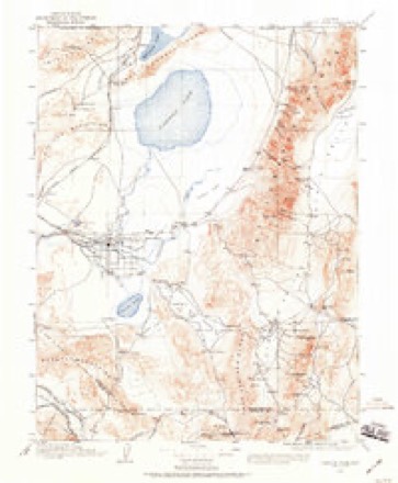
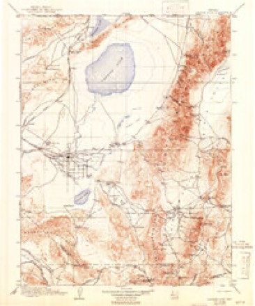
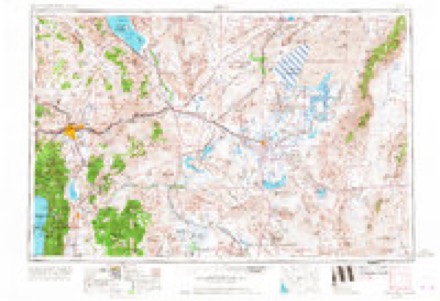
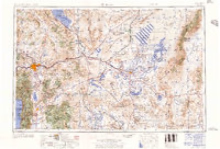
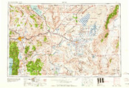
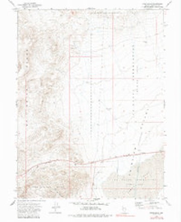
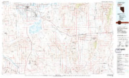
20 topographic sheets cover this place, the earliest surveyed in 1908 and the latest in 1979. It stands in the Dixie Valley census division. It lies in ZIP code area 89406. The Survey maps it on the Frenchman quadrangle. It stands 4,157 feet above sea level.
Topographic sheets covering this place
7 surveys from 20 printed sheetsMatched by testing this settlement's coordinate against the published boundary of every sheet in the United States Geological Survey's historical collection. Each opens the scanned sheet at the Survey.
- 1908 USGS Carson Sink quadrangle1:250000, 3 printings
- 1910 USGS Carson Sink quadrangle1:250000, 5 printings
- 1957 USGS Reno quadrangle1:250000, 5 printings
- 1959 USGS Reno quadrangle1:250000
- 1960 USGS Reno quadrangle1:250000, 2 printings
- 1972 USGS Frenchman quadrangle1:24000, 2 printings
- 1979 USGS Fallon quadrangle1:100000, 2 printings
Mines and quarries near this place
10 of 32 shownRegional context, not property-specific evidence. The federal mineral resources record lists 32 workings within 5 miles of Frenchman: 14 past producers, 13 occurrences, 4 prospects, 1 producer. 1 still produces. What was taken out: Tungsten, Silver, Gold, Silver, Gold. Distance is straight-line from the map coordinates, so a quarry counted here may appear on a neighbouring settlement's page as well.
| Where | Site | Commodity | Status | Recorded |
|---|---|---|---|---|
| Johnson Group | Uranium | Prospect | ||
| NBMG Sample Site 3833 | Silver, Lead, Copper, Barium-Barite | Occurrence | Vein | |
| NBMG Sample Site 3834 | Copper, Silver, Zinc | Occurrence | Contact Metamorphic | |
| NBMG Sample Site 3835 | Silver, Manganese, Lead, Zinc, Gold, Copper, Molybdenum, Strontium | Occurrence | Contact Metamorphic | |
| NBMG Sample Site 3836 | Silver, Copper, Lead, Zinc | Occurrence | Contact Metamorphic | |
| NBMG Sample Site 3853 | Gold, Silver, Lead, Zinc, Barium-Barite, Molybdenum | Occurrence | ||
| NBMG Sample Site 3858 | Tungsten, Manganese | Occurrence | Contact Metamorphic | |
| NBMG Sample Site 3859 | Silver, Copper, Molybdenum | Occurrence | Vein | |
| Standard Tungsten Claims | Tungsten, Manganese, Lead, Zinc | Occurrence | Contact Metamorphic | |
| Stardust Claims | Tungsten, Manganese, Copper | Past Producer | Scheelite |
Storms near this place
3 since 2014Regional context, not property-specific evidence. The National Weather Service names Frenchman in 3 storm reports between 2014 and 2019: 1 debris flow, 1 flash flood, 1 thunderstorm wind. No death or injury is recorded in these reports. Each account below is quoted exactly as the forecast office filed it, from the NOAA Storm Events Database, and each date opens the federal record of that event.
| When | Event | Place named | Harm | What the report says |
|---|---|---|---|---|
| August 2019 | Thunderstorm Wind | Frenchman | - | NDOT mesonet station 4 miles southeast of Sand Mountain recorded a 62 mph wind gust from the outflow of a nearby thunderstorm on 8 August 1337PST. |
| September 2014 | Debris Flow | Frenchman | - | Up to 2 feet of mud was reported across state highway 121 (Dixie Valley Rd) around 10 miles north of the intersection with highway 50. |
| May 2014 | Flash Flood | Frenchman | - | A significant amount of water over state road 121 was reported by NDOT. There was also rock and dirt debris with the fast-flowing water which caused the closure of the road. The time of the flash flood was estimated based on radar as the reports were received after the actual event. |
Nearest settlements
The eight closest, with where each one stands in the county. Distances are straight-line, computed from the Geographic Names Information System coordinates.
| Map | Place | Distance | Sheets |
|---|---|---|---|
| Nevada Hills (historical) | 4.4 miles | 20 | |
| Sand Springs (historical) | 7.6 miles | 21 | |
| Sand Hill Station (historical) | 8.2 miles | 21 | |
| Eagleville (historical) | 9.1 miles | 20 | |
| Middlegate | 12.9 miles | 19 | |
| Red Top (historical) | 15.1 miles | 21 | |
| Kingston (historical) | 17.1 miles | 21 | |
| Salt Wells | 17.8 miles | 22 |
Elsewhere
Matched on this settlement's Geographic Names Information System number rather than its name, so it cannot be a different place of the same name in another state.
| Wikipedia article on Frenchman | An encyclopaedic summary. Its text is share-alike, so it is linked here rather than copied. |
| Wikidata item Q5502715 | The structured record the population and elevation above come from. Public domain (CC0). |
Provenance
This settlement is recorded in the Geographic Names Information System as feature 857995. The sheet list is computed by point-in-boundary test against the United States Geological Survey's historical topographic inventory. Both are works of the United States government and carry no copyright under 17 U.S.C. 105.
Mines and quarries. USGS Mineral Resources Data System (MRDS) https://mrdata.usgs.gov/mrds/ A work of the United States government, no copyright under 17 U.S.C. 105.
Storms. NOAA National Centers for Environmental Information, Storm Events Database https://www.ncei.noaa.gov/stormevents/ A work of the United States government, no copyright under 17 U.S.C. 105. Narratives are quoted verbatim from the National Weather Service report and are not edited or summarised.