 Block
Lux, Nevada
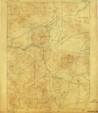
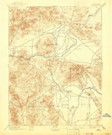
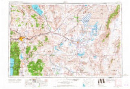
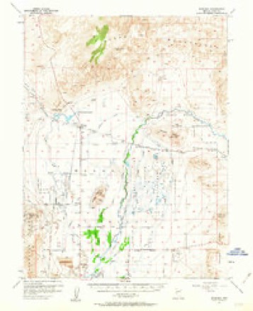
21 topographic sheets cover this place, the earliest surveyed in 1891 and the latest in 1987. It stands in the Yerington census division. It lies in ZIP code area 89447. It stands on Perk Slough. The Survey maps it on the Parker Butte quadrangle.
Topographic sheets covering this place
8 surveys from 21 printed sheetsMatched by testing this settlement's coordinate against the published boundary of every sheet in the United States Geological Survey's historical collection. Each opens the scanned sheet at the Survey.
- 1891 USGS Wabuska quadrangle1:125000
- 1894 USGS Wabuska quadrangle1:125000, 6 printings
- 1957 USGS Reno quadrangle1:250000, 5 printings
- 1957 USGS Wabuska quadrangle1:62500, 2 printings
- 1959 USGS Reno quadrangle1:250000
- 1960 USGS Reno quadrangle1:250000, 2 printings
- 1979 USGS Carson City quadrangle1:100000, 2 printings
- 1987 USGS Parker Butte quadrangle1:24000, 2 printings
Fires near this place
2 since 2009Regional context, not property-specific evidence. The federal wildfire occurrence database lists 2 fires within 5 miles of Lux between 2009 and 2015, burning about 625 acres in total. None started naturally. None was recorded as arson. Distance is straight-line from the map coordinates, so a fire counted here may appear on a neighbouring settlement's page as well.
| Reported cause | Fires |
|---|---|
| Missing data/not specified/undetermined | 2 |
The most recent of them, most recent first, with the day each was reported and the service that recorded it.
| Date | Cause | Size | Reported by | Name on the report |
|---|---|---|---|---|
| 29 September 2015 | Missing data/not specified/undetermined | 8.6 acres | Nevada Division of Forestry - Western Region | WILDLIFE |
| 24 September 2009 | Missing data/not specified/undetermined | 616 acres | Nevada Division of Forestry - Western Region | MILLER |
Settlements close enough to share some of these fires:
Mines and quarries near this place
6 within 5 milesRegional context, not property-specific evidence. The federal mineral resources record lists 6 workings within 5 miles of Lux: 2 past producers, 2 occurrences, 1 prospect, 1 producer. 1 still produces. What was taken out: Bentonite, Sodium, Salt, Copper. Distance is straight-line from the map coordinates, so a quarry counted here may appear on a neighbouring settlement's page as well.
| Where | Site | Commodity | Status | Recorded |
|---|---|---|---|---|
| Airport Deposit | Copper | Prospect | ||
| Graftenstein Sodium Sulphate Depos. | Sodium | Occurrence | ||
| Little John Claims | Gold | Occurrence | ||
| Wabuska Hot Springs | Geothermal | Producer | ||
| Wabuska Plant | Bentonite | Past Producer | 1981 | |
| Wabuska Salt Wells | Salt | Past Producer |
Storms near this place
3 since 2008Regional context, not property-specific evidence. The National Weather Service names Lux in 3 storm reports between 2008 and 2017: 2 flash flood, 1 hail. The reports record 1 death and 2 injuries. Each account below is quoted exactly as the forecast office filed it, from the NOAA Storm Events Database, and each date opens the federal record of that event.
| When | Event | Place named | Harm | What the report says |
|---|---|---|---|---|
| May 2008 | Hail | Lux | 1 killed, 2 hurt, $5,000 | The Lahontan Valley News reported that a woman lost control of her vehicle on slick pavement due to an accumulation of small hail. She was ejected from her SUV as it rolled down an embankment. The accident occurred on U.S. Highway 95 near Lyon County Road 2. According to the newspaper she was pronounced dead at the scene of the accident by the Lyon County coroner. |
| June 2017 | Flash Flood | Lux | $25,000 | Thunderstorms with heavy rainfall persisted for almost 2 hours in the hills east of Yerington (near the Lyon/Mineral County line). A deputy sheriff reported a large wall of water coming down from the hills (in a typically dry wash). A National Weather Service employee investigated the scene a week later and noticed high water marks as much as 2.5 feet above Prospect St, with water damage to landscaping for multiple properties. Appreciable sediment was noted on Bybee Ln, Almond Rd, and Prospect St, with damage to Bybee Ln. (unpaved road). Damage roughly estimated based on little or no known home damage (mainly landscaping, unpaved roads). |
| July 2015 | Flash Flood | Lux | $1,000 | Photographic evidence shows a vehicle stuck in flood waters on Prospect St. The occupant abandoned the vehicle and was rescued by fire department officials. |
Nearest settlements
The eight closest, with where each one stands in the county. Distances are straight-line, computed from the Geographic Names Information System coordinates.
| Map | Place | Distance | Sheets |
|---|---|---|---|
| Wabuska | 3.9 miles | 21 | |
| Thompson (historical) | 5.1 miles | 21 | |
| Greenville | 7.2 miles | 21 | |
| Yerington | 10.1 miles | 22 | |
| Weed Heights | 10.9 miles | 22 | |
| Davis Station | 11.8 miles | 22 | |
| Mason | 12.9 miles | 22 | |
| Churchill | 13.3 miles | 22 |
Provenance
This settlement is recorded in the Geographic Names Information System as feature 856073. The sheet list is computed by point-in-boundary test against the United States Geological Survey's historical topographic inventory. Both are works of the United States government and carry no copyright under 17 U.S.C. 105.
Wildfire. Short, Karen C. 2022. Spatial wildfire occurrence data for the United States, 1992-2020 [FPA_FOD_20221014]. 6th Edition. Fort Collins, CO: Forest Service Research Data Archive. https://doi.org/10.2737/RDS-2013-0009.6 Collected with United States Government funding and usable without additional permissions or fees.
Mines and quarries. USGS Mineral Resources Data System (MRDS) https://mrdata.usgs.gov/mrds/ A work of the United States government, no copyright under 17 U.S.C. 105.
Storms. NOAA National Centers for Environmental Information, Storm Events Database https://www.ncei.noaa.gov/stormevents/ A work of the United States government, no copyright under 17 U.S.C. 105. Narratives are quoted verbatim from the National Weather Service report and are not edited or summarised.