 Block
From the record
8 National Register listings published here, 1 of them a National Historic Landmark.
Sources: the National Register database, National Park Service
171 topographic sheets and 7 fire insurance atlases across 2 places.
8 National Register listings published here, 1 of them a National Historic Landmark.
Sources: the National Register database, National Park Service
Taken for the Office of War Information and the Farm Security Administration, who photographed the country between 1935 and 1944. Works of United States government photographers, with no known restriction on use. Each opens its catalogue record.
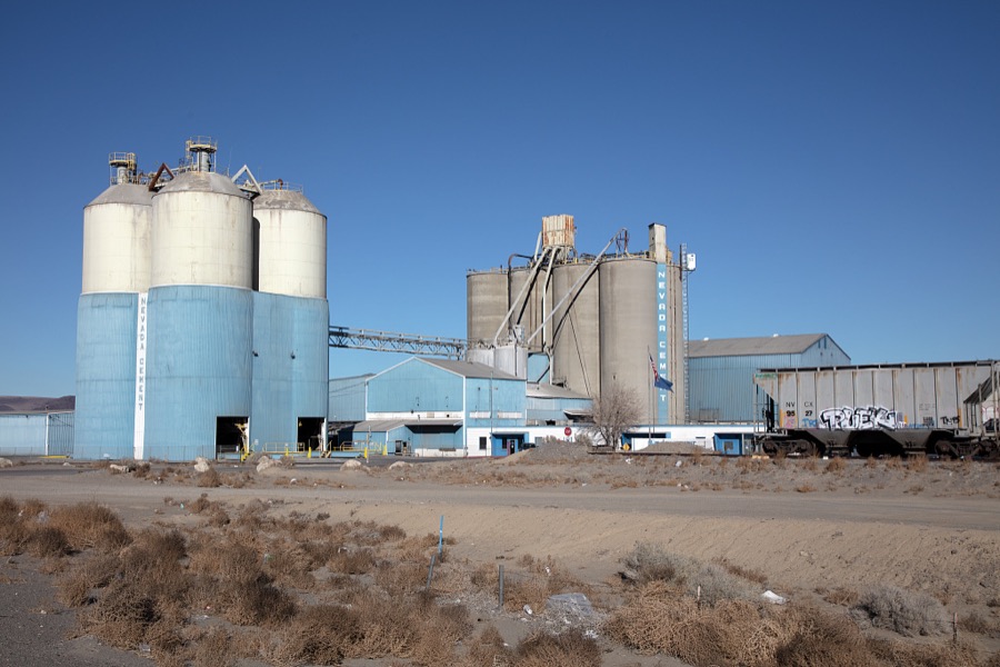
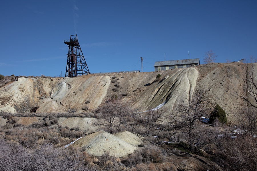
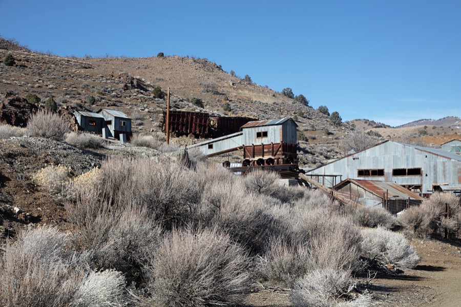
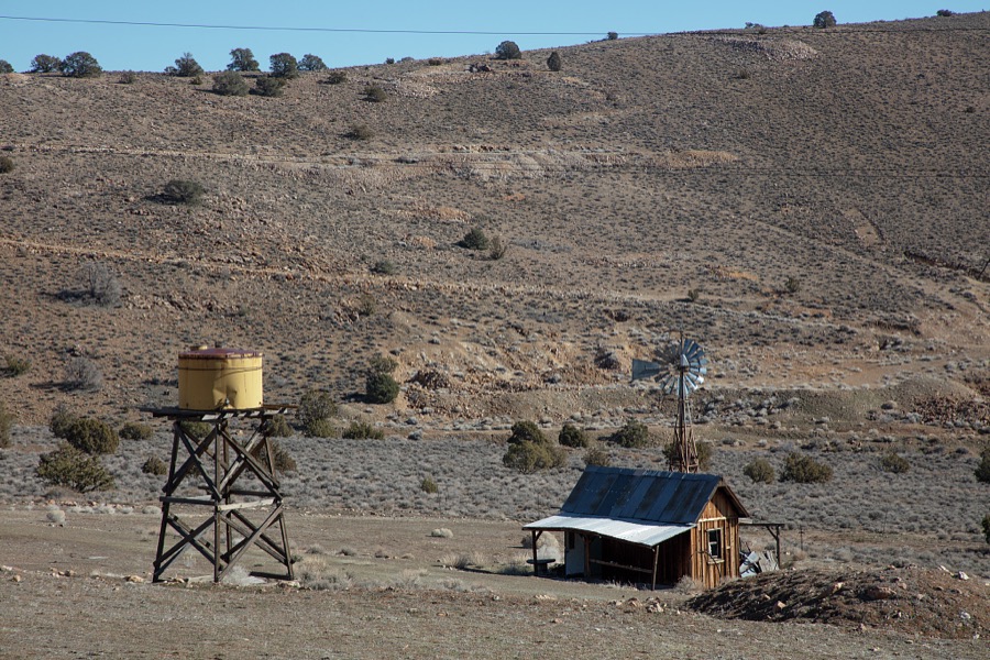
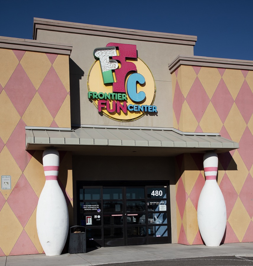
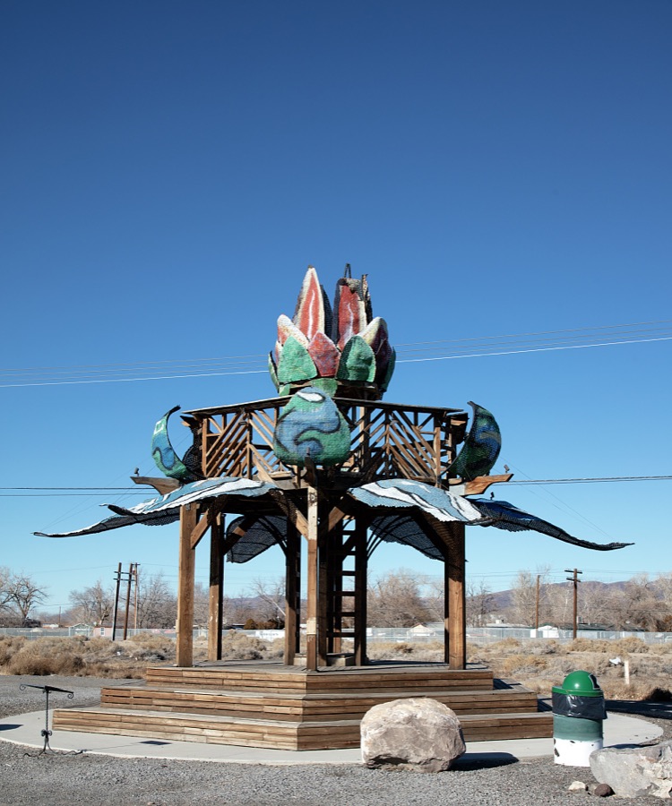
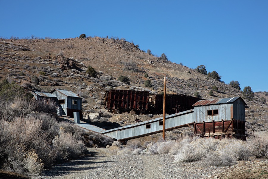
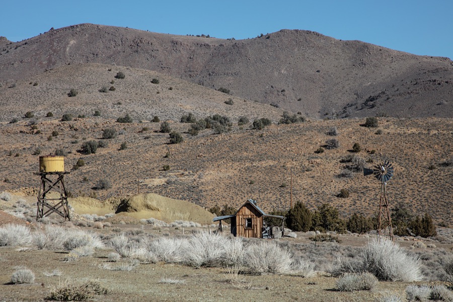
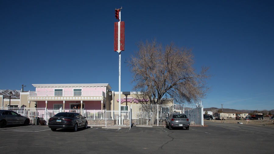
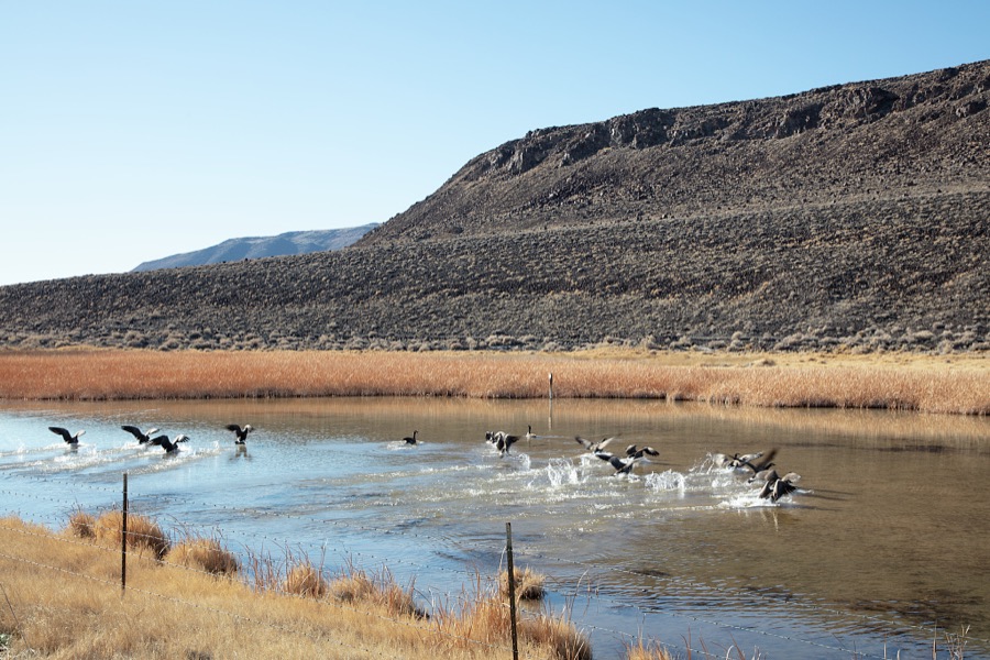
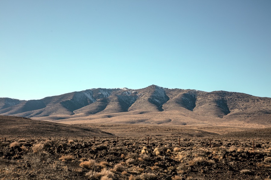
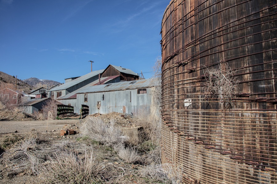
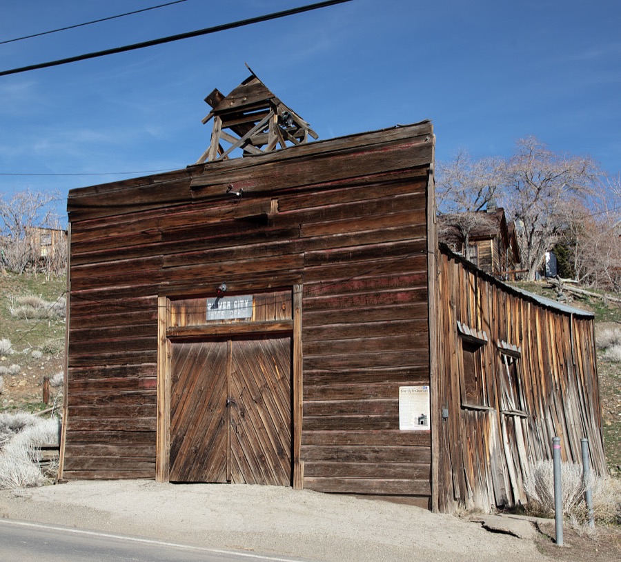
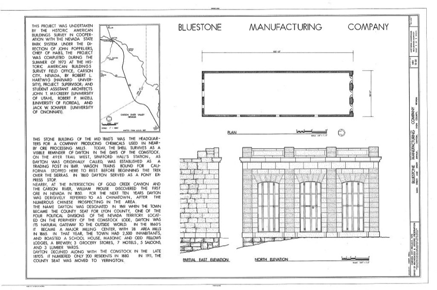
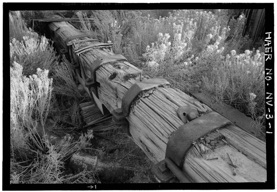
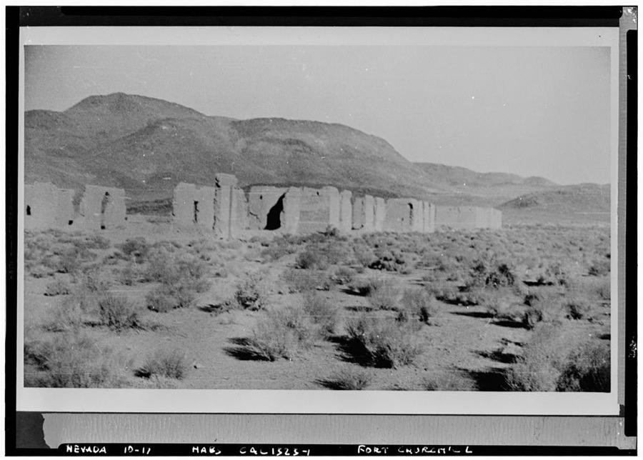
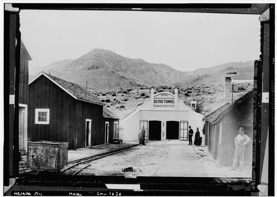
Every property in this county listed on the National Register of Historic Places, with the year it was listed and the federal nomination document.
| Photograph | Property | Type | Listed | Reference |
|---|---|---|---|---|
 | Buckland Station | building | 1997 | 97001546 |
 | Fernley Community Church | building | 2003 | 03000414 |
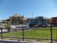 | Fernley and Lassen Railway Depot | building | 2005 | 05000513 |
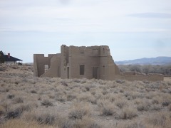 | Fort Churchill | district | 1966 | 66000456 |
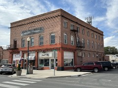 | I.O.O.F. Building, Mason Valley | building | 1983 | 83001111 |
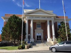 | Lyon County Courthouse | building | 1983 | 83001112 |
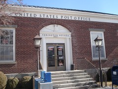 | US Post Office-Yerington Main | building | 1990 | 90000138 |
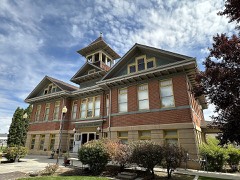 | Yerington Grammar School | building | 1984 | 84002075 |
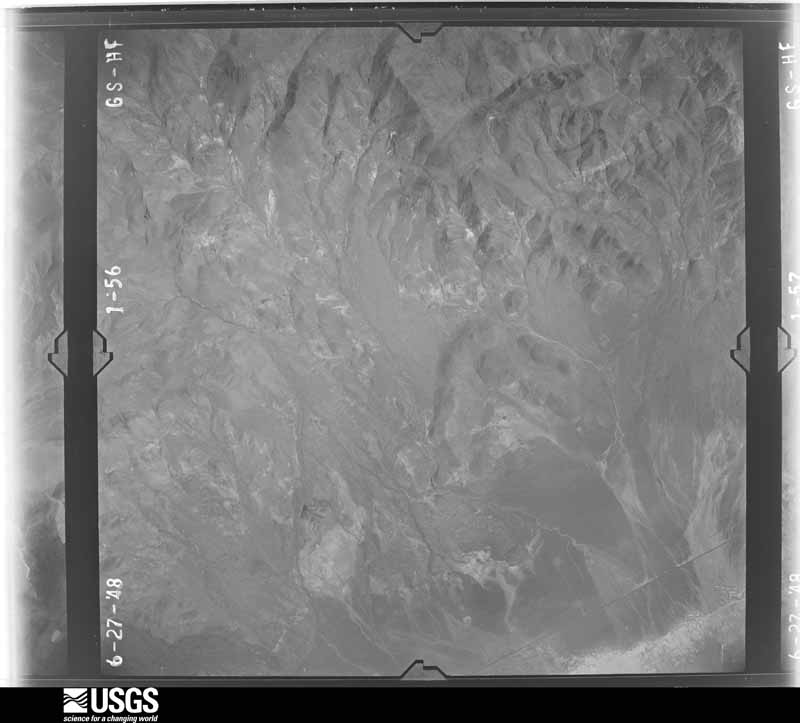
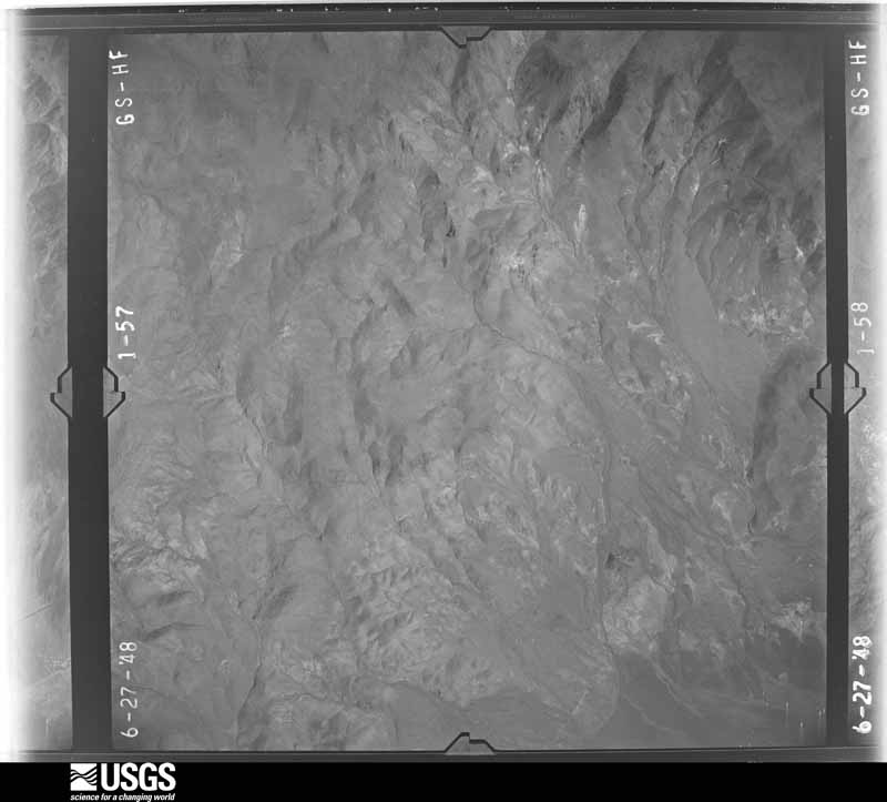
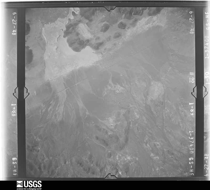
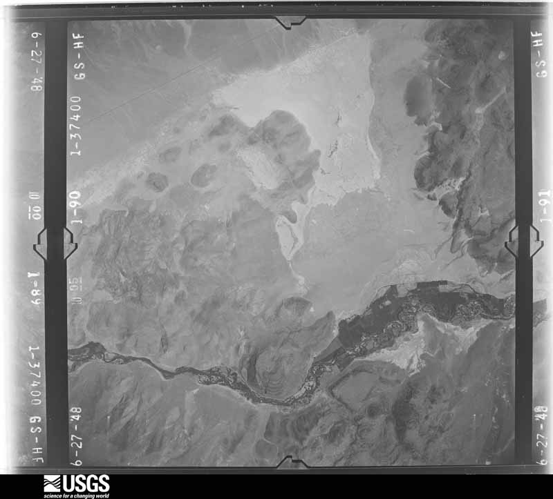
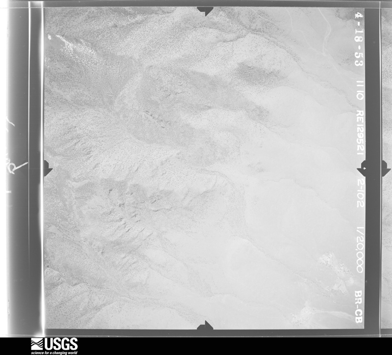
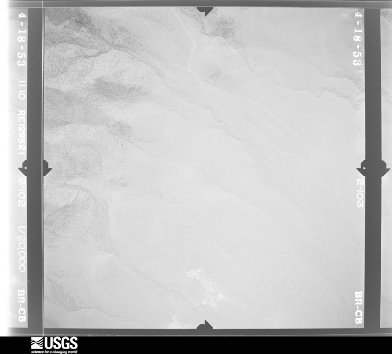
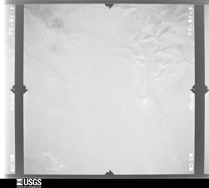
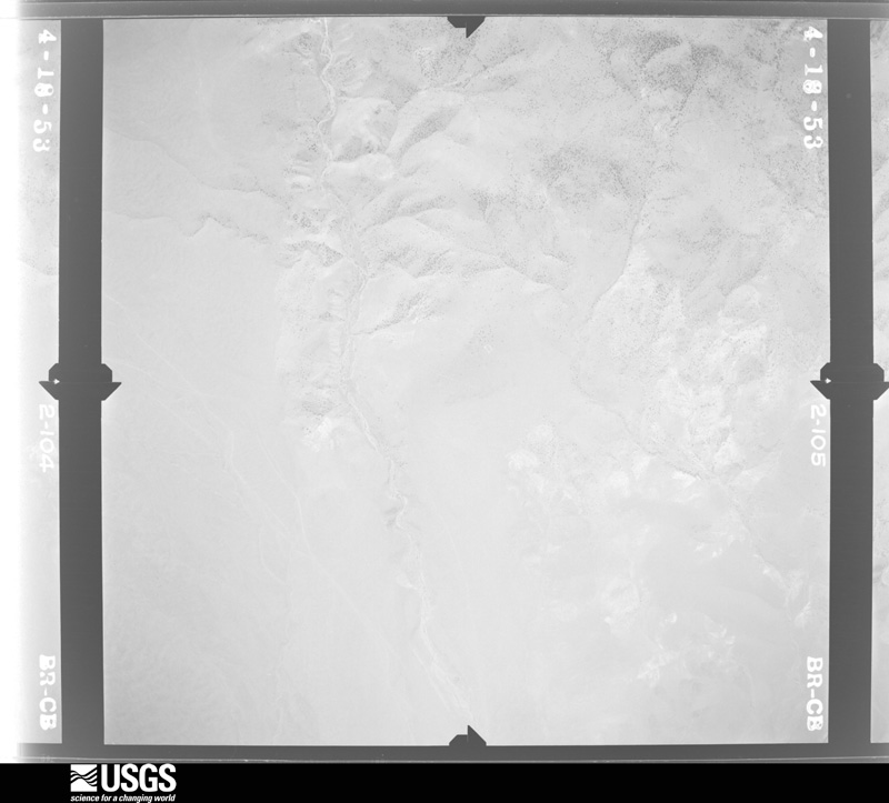
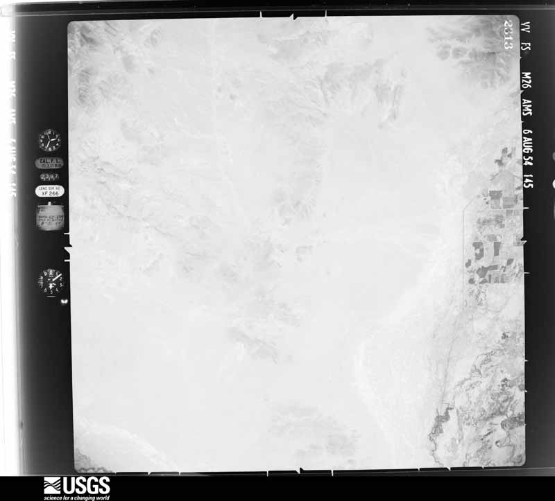
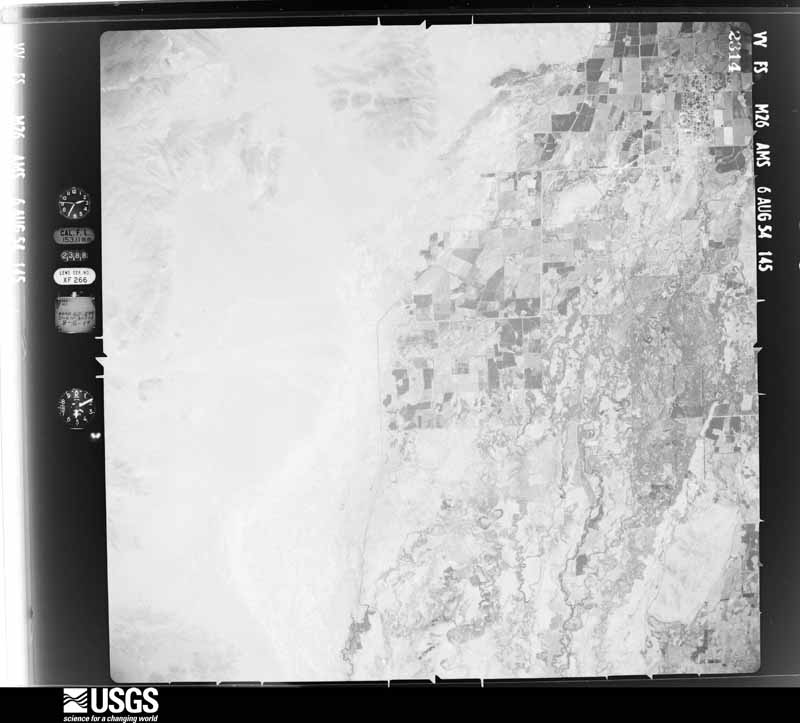
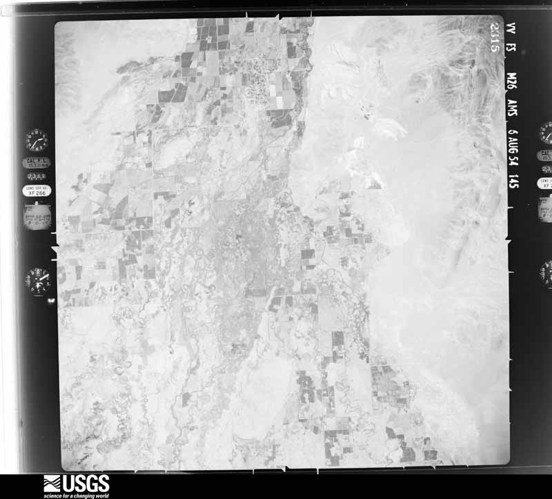
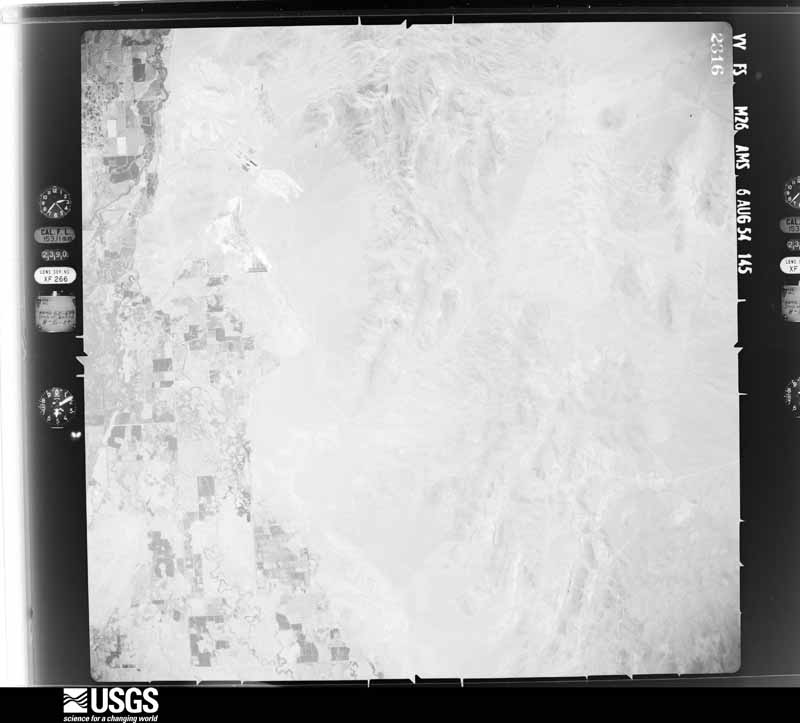
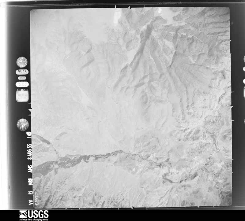
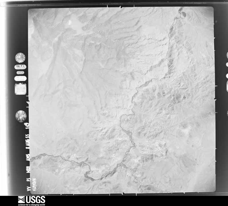
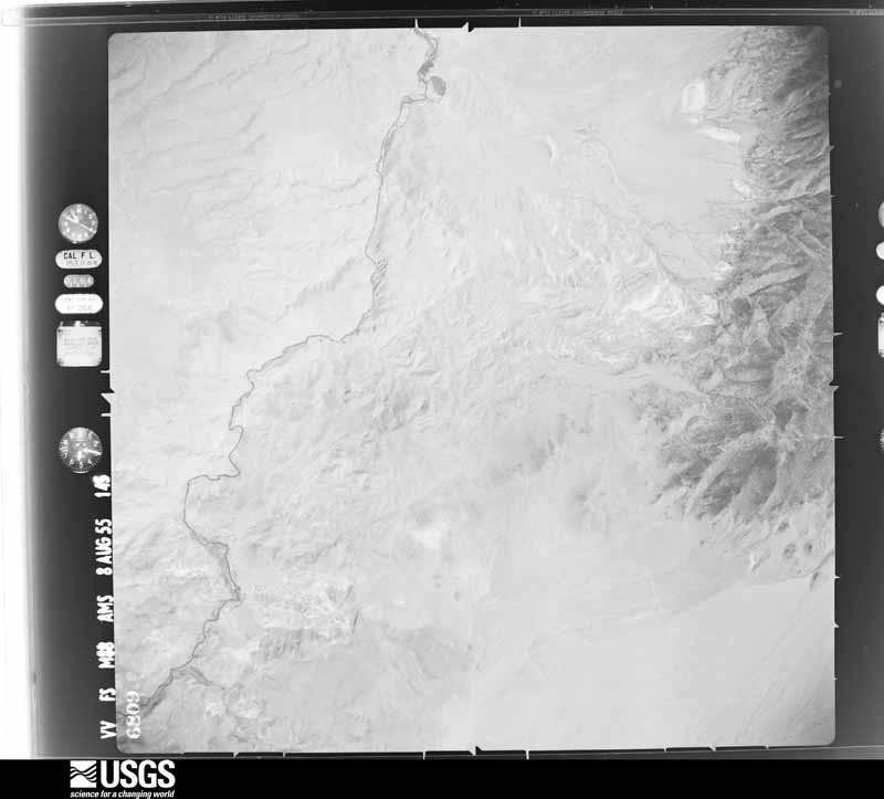
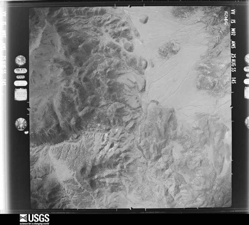
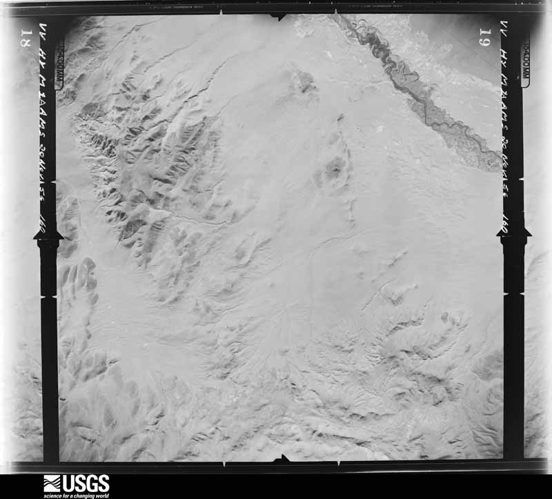
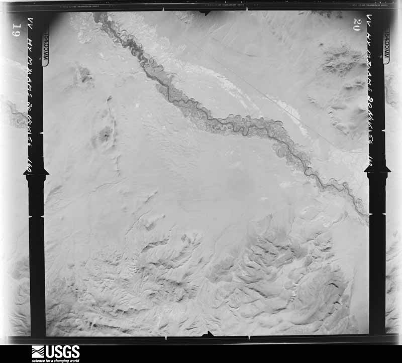
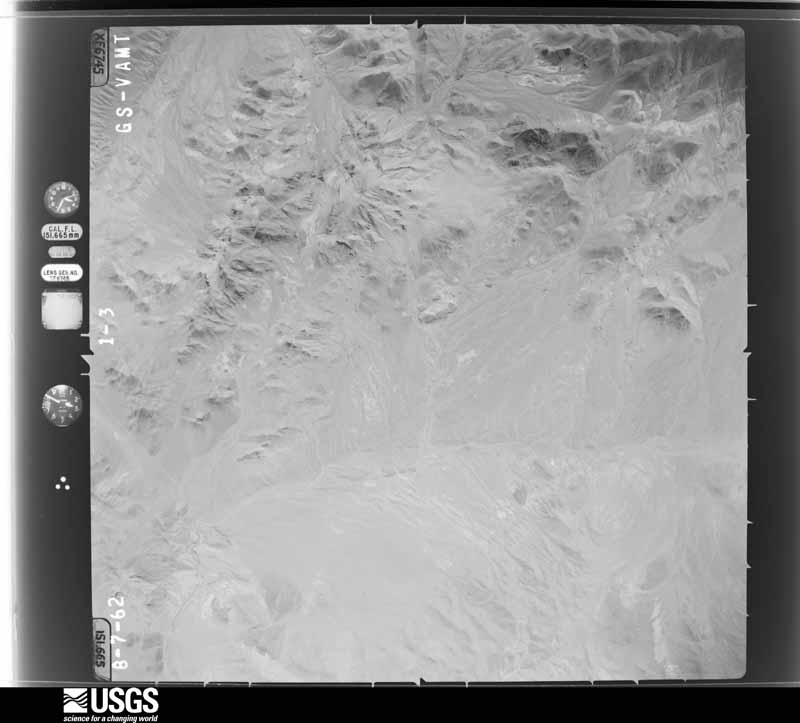
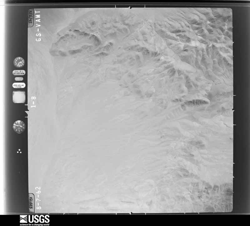
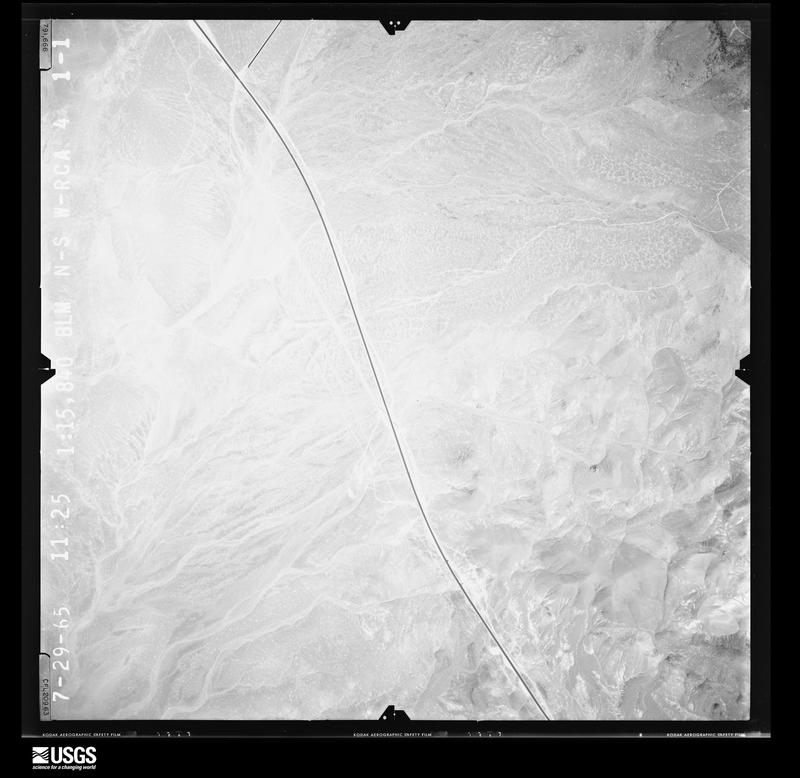
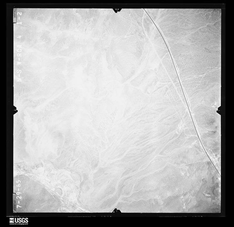
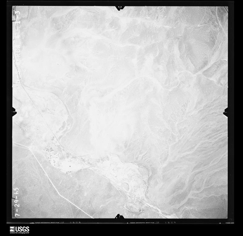
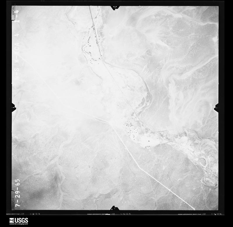
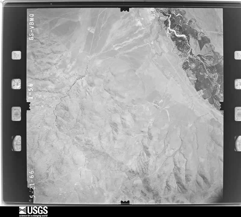
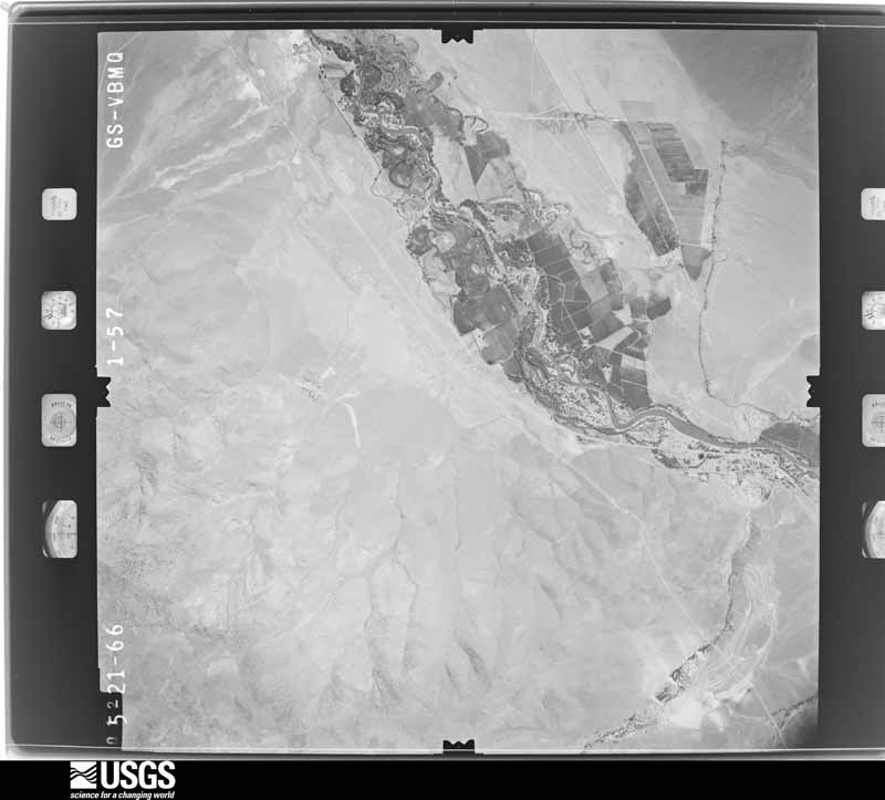
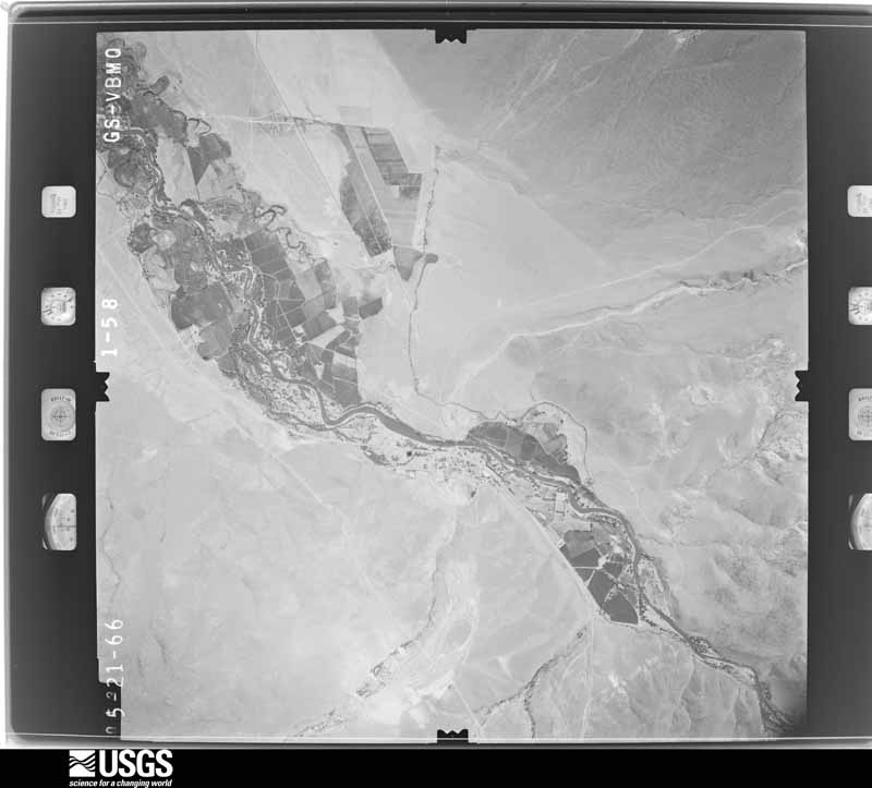
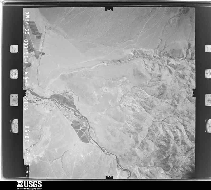
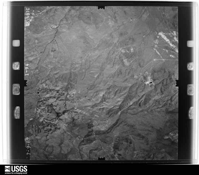
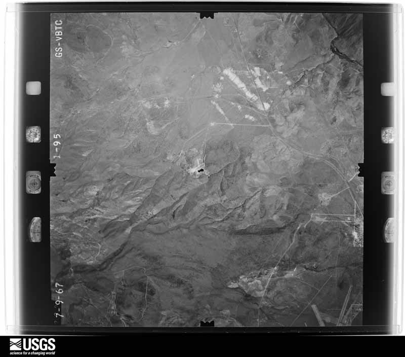
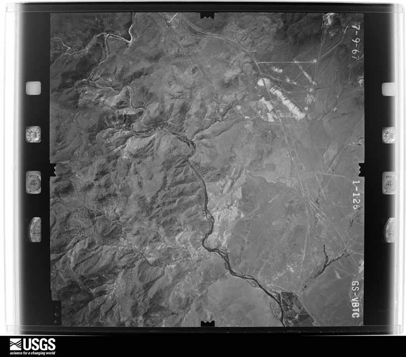
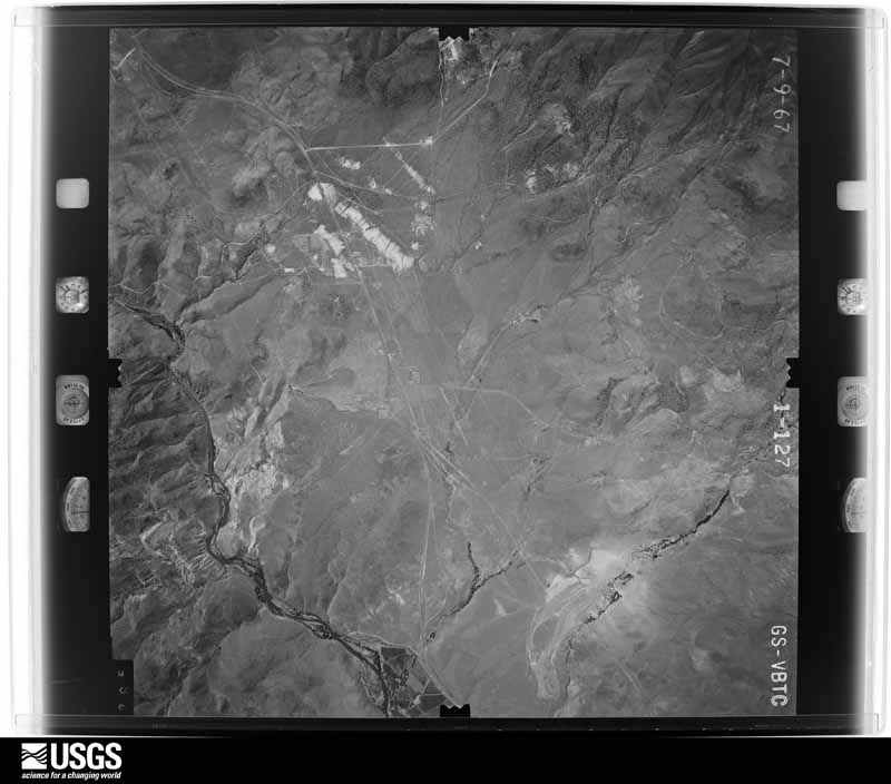
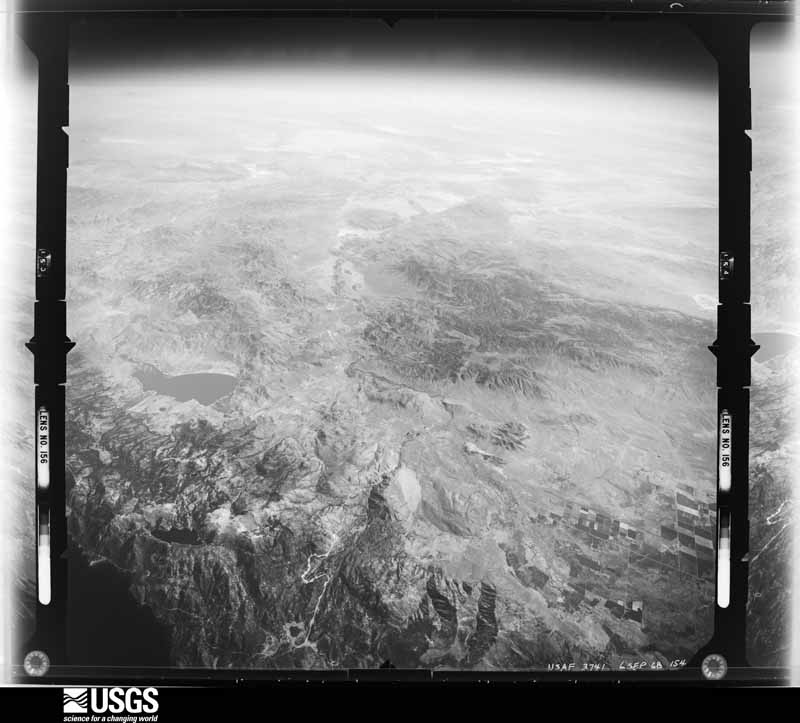
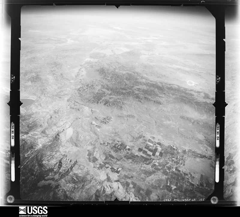
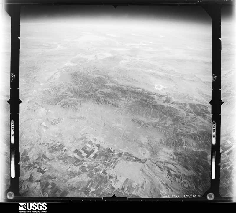
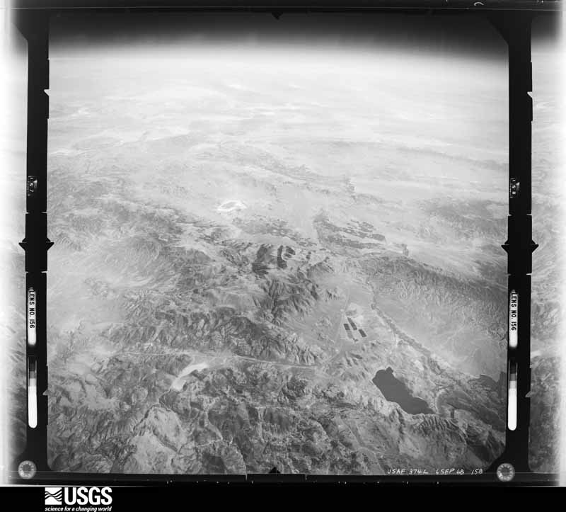
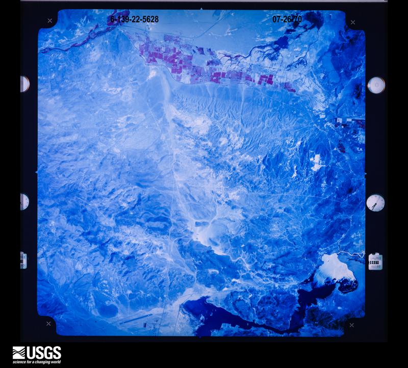
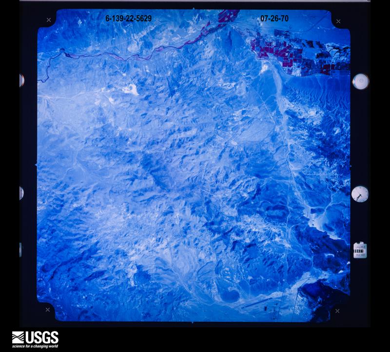
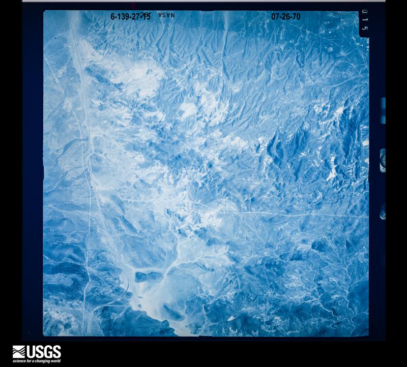
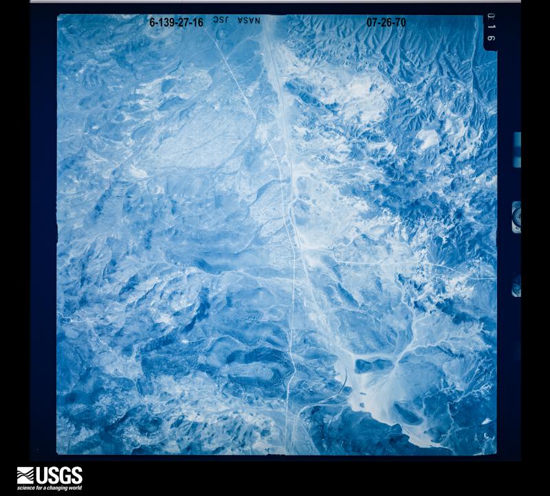
Flown by the U.S. Geological Survey between 1937 and 1989, the Aerial Photo Single Frames collection is the definitive mid-century view of the land: fields, roads and rivers as the camera saw them. The Survey holds 7,720 frames inside the rectangle that bounds this county; the 48 frames below were taken over the county itself, chosen across the decades of flights (at most four a year from that rectangle), so one flight cannot crowd out the rest. The full set is free to browse and download at EarthExplorer under the dataset Aerial Photo Single Frames.
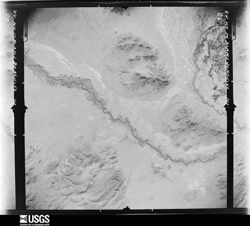
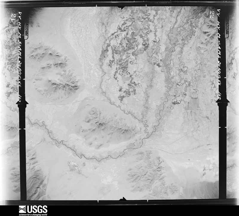
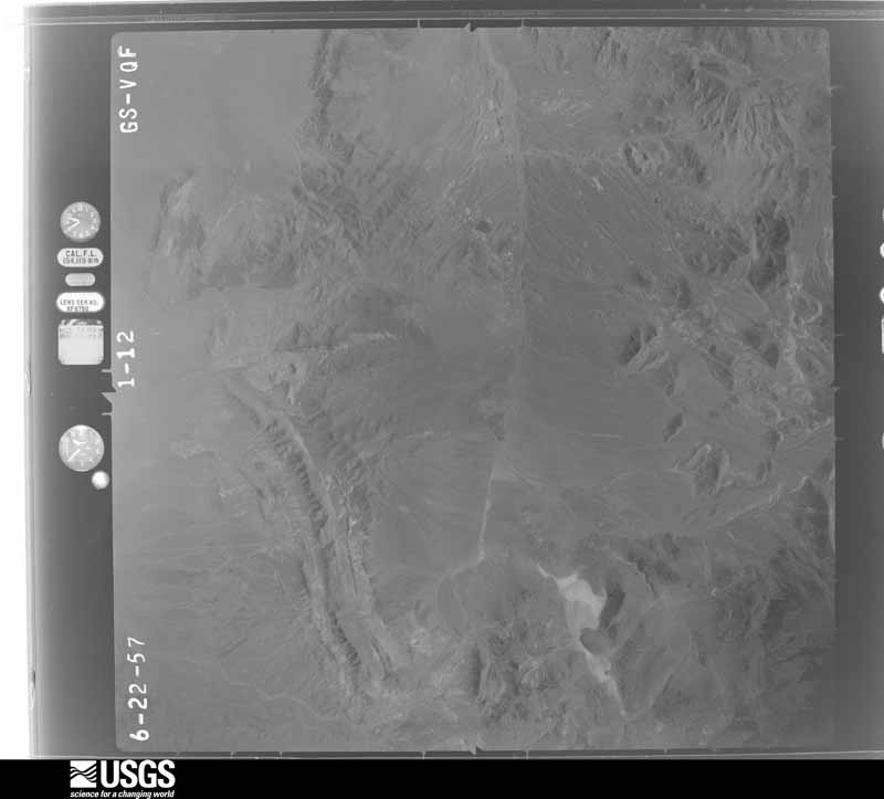
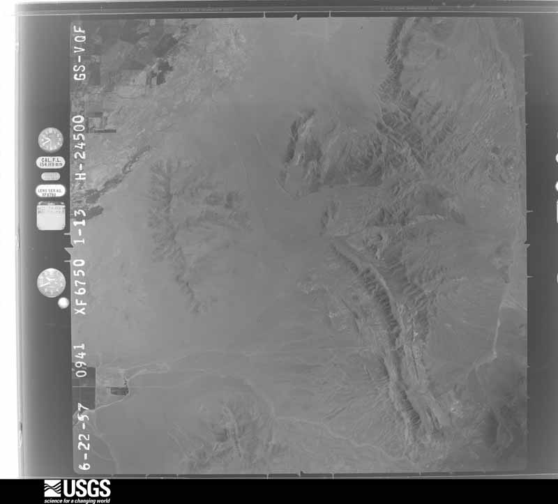
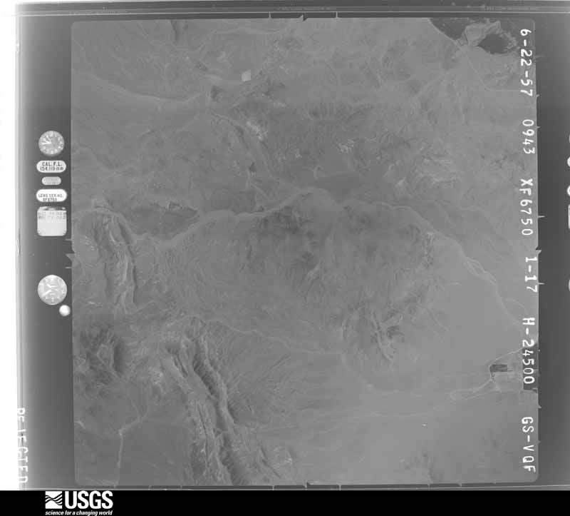
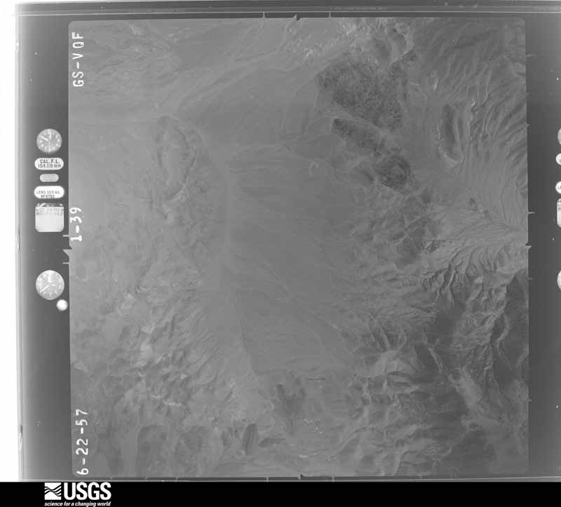
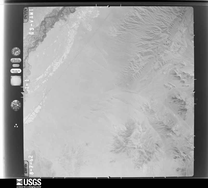
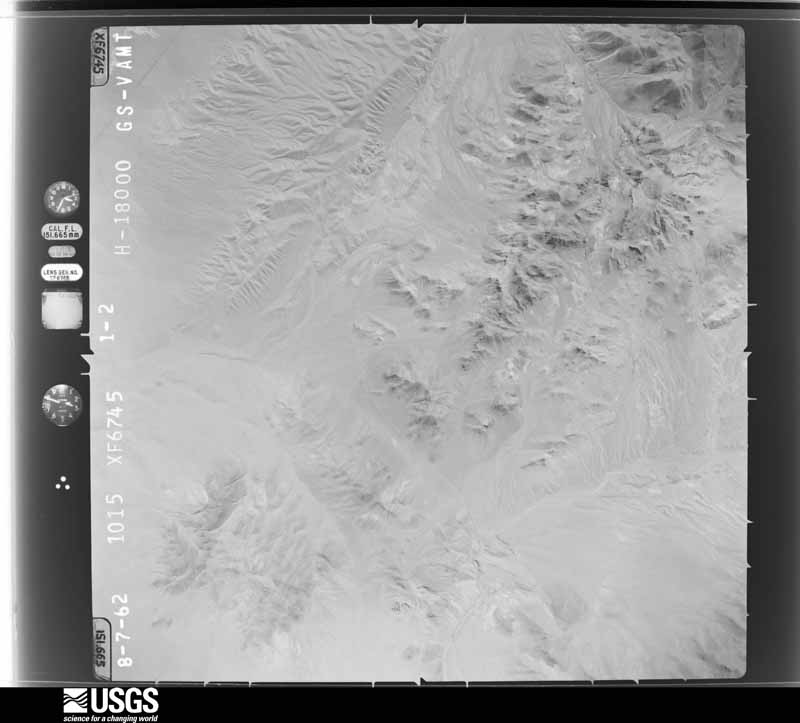
The thermometers that kept this county's weather, and the gages that measured the flow of its streams, as the federal records hold them. The extremes below are measured values from those records, not estimates.
Who lived here in 1950, one enumeration district at a time, as the Census Bureau described each district. Each row opens its official National Archives result, with Population Schedules and ED Maps available there.
Every wildfire the federal occurrence database records inside this county: 355 of them, burning about 40,587 acres. 163 started naturally and 9 were recorded as arson. Each settlement page carries the fires within five miles of it.
| Reported cause | Fires |
|---|---|
| Natural | 163 |
| Missing data/not specified/undetermined | 72 |
| Recreation and ceremony | 32 |
| Equipment and vehicle use | 20 |
| Debris and open burning | 14 |
| Smoking | 13 |
| Arson/incendiarism | 9 |
| Fireworks | 8 |
| Other causes | 8 |
| Misuse of fire by a minor | 7 |
| Firearms and explosives use | 5 |
| Power generation/transmission/distribution | 3 |
| Railroad operations and maintenance | 1 |
The five largest, by the area the report gives. None of them was recorded as arson.
| Date | Cause | Size | Reported by | Name on the report |
|---|---|---|---|---|
| 6 July 2007 | Natural | 14,004 acres | Carson City District Office | ADRIAN 1 |
| 26 June 2006 | Natural | 4,600 acres | Carson City District Office | VIIRGINIA |
| 14 June 2012 | Natural | 3,872 acres | Carson City District Office | WEEKS |
| 4 July 1996 | Fireworks | 3,656 acres | Carson City District Office | SUNRISE |
| 3 June 2018 | Firearms and explosives use | 3,438 acres | Carson City District Office | CHAVES |
| 22 August 2017 | Natural | 1,626 acres | Carson City District Office | LYONS |
| 22 August 2017 | Natural | 1,560 acres | Carson City District Office | MICRO |
| 17 June 2018 | Equipment and vehicle use | 1,202 acres | Carson City District Office | UPPER COLONY |
Every settlement page carries the fires within five miles of it - see the settlement index below.
The NOAA Storm Events Database holds 102 reports for this county, causing 2 deaths, 2 injuries and about $8,714,500 in recorded property damage. Each settlement page carries the reports that name it.
| Kind of event | Reports |
|---|---|
| Thunderstorm Wind | 29 |
| Flash Flood | 22 |
| Heavy Rain | 19 |
| Hail | 10 |
| Flood | 8 |
| Debris Flow | 5 |
| Tornado | 4 |
| Funnel Cloud | 2 |
| Lightning | 2 |
| Winter Weather | 1 |
The most serious of them, by death, then injury, then recorded damage. The accounts are quoted exactly as the forecast office filed them.
| When | Event | Place named | Harm | What the report says |
|---|---|---|---|---|
| May 2008 | Hail | Lux | 1 killed, 2 hurt, $5,000 | The Lahontan Valley News reported that a woman lost control of her vehicle on slick pavement due to an accumulation of small hail. She was ejected from her SUV as it rolled down an embankment. The accident occurred on U.S. Highway 95 near Lyon County Road 2. According to the newspaper she was pronounced dead at the scene of the accident by the Lyon County coroner. |
| January 2002 | Winter Weather | Fernley | 1 killed | no account filed |
| January 2008 | Flash Flood | Fernley | $6,600,000 | A 40-foot-long break in the Truckee Canal released floodwater into portions of Fernley, Nevada on the morning of January 5th. Local newspapers reported that approximately 1500 people had to be evacuated from their homes. Water 2 to 4 feet deep affected as many as 500 homes. The Reno Gazette-Journal newspaper reported that more than $1.75 million in federal disaster housing assistance had been provided. In addition to this, Fernley city officials estimated that the cost to repair roads would be over $720,000. |
| January 2017 | Flood | Dayton | $1,300,000 | Twenty five structures, including at least 10 homes (one 8-plex and two single-family homes), were damaged by flood waters in Dayton by the morning of the 9th. Flooding of the two single family homes in East Dayton may have been largely due to breaks in ditches and culverts incapable of handling the exceptionally large volume of water. Water depth varied from 6 inches to as much as 3 feet on the south side of the Carson River. Standing flood waters lasted for at least several days after the initial flood surge on the 8th. Schools were closed county-wide on the 9th. The damage estimate from the Lyon County Emergency Manager is considered very low-end and could actually be several million dollars for Dayton alone. In February, a Federal Disaster Declaration was approved for the January flooding. |
| December 2005 | Flood | Wellington | $305,000 | In Dayton, flooding from the Carson River flooded the Marina Street area. River Road was also closed. Water covered part of U.S. Highway 50 in Dayton and Stagecoach. Floodwaters with depths up to four feet covered some areas in Dayton, Silver City, and Stagecoach. Power outages were reported by residents in Mason Valley and Yerington. |
| January 2006 | Flood | Wellington | $165,000 | no account filed |
| June 2011 | Flood | Wilson Canyon | $50,000 | Heavy snowmelt caused minor to moderate lowland flooding late in June and into early July in the Mason Valley south of Yerington with some backyards and crop fields flooded. |
| July 2002 | Thunderstorm Wind | Dayton | $50,000 | Several downed power poles and four small trailers destroyed. |
| May 2006 | Flood | Wellington | $50,000 | no account filed |
| July 2007 | Lightning | Dayton | $40,000 | Lightning struck the Mark Twain Fire Station building in Dayton. The building was severely damaged. A 1952 International fire engine that was being stored in the building was also damaged. |
| June 2017 | Flash Flood | Lux | $25,000 | Thunderstorms with heavy rainfall persisted for almost 2 hours in the hills east of Yerington (near the Lyon/Mineral County line). A deputy sheriff reported a large wall of water coming down from the hills (in a typically dry wash). A National Weather Service employee investigated the scene a week later and noticed high water marks as much as 2.5 feet above Prospect St, with water damage to landscaping for multiple properties. Appreciable sediment was noted on Bybee Ln, Almond Rd, and Prospect St, with damage to Bybee Ln. (unpaved road). Damage roughly estimated based on little or no known home damage (mainly landscaping, unpaved roads). |
| July 2013 | Flash Flood | Wellington | $25,000 | Flash flooding and a road wash out on highway 338 was reported by Nevada DOT. Several days of thunderstorms with heavy rainfall noted on highway 338 near Sweetwater Summit. |
| July 2013 | Flash Flood | Fernley | $25,000 | The Lyon County sheriff reported house and yard flooding near Saddlehorn Way, Mallard Way and Jenny's Lane. In addition, the Wendy's in central Fernley noted flooding. Three waves of heavy thunderstorm rainfall produced up to 1.3 inches of rain (per spotter reports) between about 1500PST and 1900PST. |
| June 2015 | Flash Flood | Dayton | $20,000 | Per a spotter report, 1.13 inches of rain fell in about an hour in the Six Mile Canyon area near the Lyon and Storey County line. Lyon County Emergency Management received reports of significant yard and landscaping damage as well as water in garages. Also, heavy equipment was required to remove mud from streets in the Mark Twain community as well as in Six Mile Canyon (Storey County). |
| July 2013 | Flash Flood | Fernley | $10,000 | Training thunderstorms brought very heavy rain to the Fernley area during the afternoon and evening of the 4th. Flash flooding caused a 10 ft sinkhole to form near the intersection of Cable Canyon Rd and Seabiscuit Dr. |
| September 2011 | Thunderstorm Wind | Silver Spgs Arpt | $8,000 | A spotter in Stagecoach measured a thunderstorm wind gust to 70 mph which caused a power outage and possibly the breaking of a utility pole. |
| September 2013 | Debris Flow | Nevada Hot Spgs | $5,000 | Lyon County officials reported a debris flow (mainly mud/small rocks) which covered Artesia Road to a depth of 3 feet and a width of 200 to 300 feet during the evening of the 14th. The flow was caused by heavy thunderstorm rain on the Bison Fire scar. |
| July 2011 | Flash Flood | Wilson Canyon | $5,000 | Lyon County Emergency Management reported a significant amount of water over East Walker and Pine Grove Roads with one truck in water up to the bottom of its cab. The deepest water was in the area of the Flying M Ranch. |
| June 2003 | Thunderstorm Wind | Yerington | $5,000 | A thunderstorm wind gust blew a patio cover off it's foundation and back onto a house roof in Yerington, NV. The wind gust was estimated at 60 mph. |
| July 2003 | Flash Flood | Southeast Portion | $5,000 | The Lyon County Sheriff reported flash flooding in rural Lyon County about 10 miles southeast of Yerington. Several gravel roads were washed out or covered by debris and needed clearing and/or repair. |
| July 2002 | Thunderstorm Wind | Fernley | $5,000 | no account filed |
| June 1989 | Tornado (F0) | not stated | $2,500 | no account filed |
| June 2004 | Lightning | Dayton | $2,000 | Lightning caused power outage in Dayton. A total of 1600 people were without power for more than two hours. |
| July 1997 | Thunderstorm Wind | Fernley | $2,000 | A severe thunderstorm produced an estimated wind gust to 65 kts in Fernley. Tree limbs and a phone line were reported down. Power outages also occurred in the area. Alternate Highway 50 was closed briefly due to blowing dust. |
| July 2015 | Flash Flood | Lux | $1,000 | Photographic evidence shows a vehicle stuck in flood waters on Prospect St. The occupant abandoned the vehicle and was rescued by fire department officials. |
| June 2013 | Flash Flood | Carson City Arpt | $1,000 | A Facebook video from the public showed rapidly flowing water over Milan Drive in an industrial area. The water overflowed the drainage ditch alongside the road. |
| July 2013 | Flash Flood | Fernley | $1,000 | Three feet of standing water was reported on Scott Drive in Fernley. |
| July 2010 | Flash Flood | Wellington | $1,000 | The Lyon County Sheriff Office reported shallow water over Desert Creek Road around 2200PST. However, the Desert Creek stream gauge reported much higher flow (near flood stage) between 2000PST and 2130PST so it is likely that the road was impassable in places previous to the report. |
| July 2002 | Thunderstorm Wind | Dayton | $1,000 | no account filed |
| July 2025 | Thunderstorm Wind | Silver Spgs Arpt | - | Recorded at station STGNV 2.8 E Stagecoach. There were also several reports of wind gusts between 45 to 55 mph. |
| August 2025 | Flash Flood | Dayton | - | Nevada Department of Transportation reported flash flooding with mud and debris on US-50 near Bryce Road. Additionally, minor debris and flooding was reported on US-50 near US-95 ALT near Silver Springs. |
| September 2025 | Thunderstorm Wind | Wabuska | - | Mesonet station WBKNV, located 1.9 miles NW of Wabuska. At approximately 5:04 PM, a trained spotter reported a dust storm with 35 mph wind gusts and also 200 ft. visibility. |
| July 2024 | Flash Flood | Wellington | - | Emergency Manager reported a mudslide 2.0 mi SW of Wellington, NV, along Hoye Canyon Road due to heavy rainfall. |
| September 2024 | Heavy Rain | Smith | - | NV Energy site at Pine Grove Mountain located 11.0 mi SE of Smith Valley, NV, and mesonet station (YRNGT) located in Yerington, NV, reported 24 hour storm total rainfall amounts of 1.06 inches, and 0.63 inches respectively. |
| January 2023 | Debris Flow | Wilson Canyon | - | A massive landslide on State Route 208 through Wilson Canyon forced the closure of the highway for an indeterminate amount of time. The Nevada Department of Transportation (NDOT) says the rockslide was likely caused by the recent heavy precipitation. The debris fell across roughly 400 feet of roadway around 6:00 PM Tuesday night, NDOT estimates.||There were no immediate indications of any injuries due to the landslide. |
| March 2023 | Heavy Rain | Smith | - | A CO-OP observer (YRGN2) located 0.8 mi NE of Yerington, NV, and mesonet station (NSMV) located 2.4 mi S of Smith Valley, NV, reported 24-hour rainfall totals of 1.50 inches and 1.44 inches respectively. |
| March 2023 | Flood | Wellington | - | The public reported 4.0 mi SE of Wellington, NV, that Smith Valley fields are ponding and backing up into culverts causing additional problems near desert creek at SR-338. |
| March 2023 | Debris Flow | Wellington | - | The public reported 7.0 mi SSE of Sweetwater Summit (Walker River Canyon) of minor debris flows and rock slides. The route was closed from Bridgeport, CA, to Mason, NV, due to flooding along NV-338 on Nevada side. |
| March 2023 | Debris Flow | Wilson Canyon | - | NDOT reported on social media 8.0 mi ENE of Smith, NV, that SR-208 in Wilson canyon was closed due a rockslide. |
| June 2023 | Flash Flood | Dayton | - | A county official reported flash flooding that caused hazardous road conditions in the Dayton, NV area. |
| July 2023 | Flash Flood | Wellington | - | Flooding was reported along NV 338, which closed the highway from Wellington to the CA/NV border. Location is approximate based on radar. |
| October 2023 | Heavy Rain | Fernley | - | A mesonet station (CW2857-Fernley) located 2.0 mi WSW of Fernley, NV reported a total rainfall amount of 0.50 inches. |
| August 2022 | Heavy Rain | Dayton | - | Trained spotter located 2.0 mi ESE of Six Mile Canyon reported a one hour total rainfall amount of 1.56 inches between 5:00 PM and 6:00 PM LST. |
| July 2021 | Flood | Fernley | - | Spotter reported flooding on some roadways in the Fernley area due to thunderstorms. 0.25 inch of rainfall in 15 minutes. |
| December 2021 | Heavy Rain | Dayton | - | COCORAHS station (nv-ly-15) 3.4 mi NE of Dayton,NV reported 1.52 of heavy rain. |
| December 2018 | Heavy Rain | Churchill | - | Mesonet EW8905 5 miles west-southwest of Stagecoach reported 0.68 inches of rainfall in a 24-hour period from 24 December 0715PST to 25 December 0715PST. Mesonet elevation 4543 feet MSL. |
| July 2018 | Debris Flow | Wellington | - | Nevada Department of Transportation reported that State Route 338 was closed in both directions from the California State Line to approximately Lyon County milepost 20 due to multiple debris flows. State Route 338 was closed from approximately 20 July 1313PST to 1948PST. No damage/cleanup estimates were available. |
| March 2018 | Heavy Rain | Mason | - | CoCoRaHS station NV-LY-3 in Mason reported 0.76 inches of storm total rainfall from 20 March 0645PST to 23 March 0645PST. |
| April 2018 | Heavy Rain | Fernley | - | CoCoRaHS station NV-LY-14, 3 miles west-northwest of Fernley reported 0.69 inches of rainfall in a 24 hour period from 6 April 0700PST to 7 April 0700PST. |
| April 2018 | Heavy Rain | Fernley | - | CoCoRaHS station NV-LY-29, 1 mile southeast of Fernley reported 0.58 inches of rainfall in a 24 hour period from 6 April 0700PST to 7 April 0700PST. |
| April 2018 | Heavy Rain | Dayton | - | CoCoRaHS station NV-LY-15, 2 miles east-southeast of Six Mile Canyon reported 0.67 inches of rainfall in a 24 hour period from 6 April 0700PST to 7 April 0700PST. |
| May 2018 | Heavy Rain | Mason | - | CoCoRaHS station NV-LY-31, 8 miles southeast of Mason reported 0.69 inches of rainfall in a 24-hour period from 16 May 0600PST to 17 May 0600PST. |
| May 2018 | Heavy Rain | Wellington | - | Mesonet station SMVN2, Smith Valley NOAWRC (elevation 4848 feet) reported 0.51 inches of rainfall in a two-hour period from 21 May 1640PST to 1840PST. |
| May 2018 | Heavy Rain | Wellington | - | Mesonet station SMVN2, Smith Valley NOAWRC (elevation 4848 feet) reported 0.92 inches of rainfall in a 24-hour period from 24 May 0840PST to 25 May 0840PST. |
| May 2018 | Heavy Rain | Dayton | - | CoCoRaHS station NV-LY-15, 2 miles east-southeast of Six Mile Canyon reported 1.52 inches of rainfall in a 24-hour period from 24 May 0700PST to 25 May 0700PST. |
| October 2018 | Heavy Rain | Silver Spgs | - | CoCoRaHS station NV-LY-19, 5 miles south-southeast of Silver Springs reported 0.81 inches of rainfall in a 24-hour period from 3 October 0700PST to 4 October 0700PST. |
| October 2018 | Heavy Rain | Fernley | - | CoCoRaHS station NV-LY-14, 3 miles west-northwest of Fernley reported 0.78 inches of rainfall in a 24-hour period from 3 October 0700PST to 4 October 0700PST. |
| October 2018 | Heavy Rain | Fernley | - | A trained weather spotter 1-mile south-southwest of Fernley reported 0.78 inches of rainfall in a 24-hour period from 3 October 0915PST to 4 October 0915PST. |
| September 2017 | Funnel Cloud | Mason | - | United States Forest Service employee reported a confirmed funnel cloud near the Rafter 7 Ranch. The funnel cloud was also photographed by Nevada Creeks and Communities at an event at Rafter 7 Ranch. The position was estimated based on the observation from the USFS employee. |
| July 2017 | Flash Flood | Silver Spgs Arpt | - | A mud and debris flow caused the closure of the Ramsey Weeks Cutoff between Highway 50 and Alternate US 50 on the afternoon of the 24th. |
The Survey's mineral resources record lists 420 workings inside this county. 31 still produce and 389 are closed or unrecorded. Each settlement page carries the workings within five miles of it.
| Commodity | Workings |
|---|---|
| Gold | 118 |
| Copper | 105 |
| Silver | 80 |
| Uranium | 35 |
| Sand and Gravel, Construction | 31 |
| Gold, Silver | 26 |
| Silver, Gold | 14 |
| Iron | 13 |
| Gypsum-Anhydrite | 12 |
| Tungsten | 11 |
| Diatomite | 8 |
| Perlite | 6 |
| Molybdenum | 5 |
| Iron, Gold | 3 |
The least common of them first, because a county's hundredth gravel pit says nothing its first ten did not.
| Where | Site | Commodity | Status | Recorded |
|---|---|---|---|---|
| Anderson Pit & Mill | Sand and Gravel, Construction, Gold | Occurrence | ||
| Ann Mason Copper Deposit | Copper, Molybdenum, Silver, Gold | Prospect | 1960 | |
| Bluestone Mine | Copper, Gold, Silver, Gypsum-Anhydrite | Past Producer | 1885 | |
| Boulder Hill Mine | Fluorine-Fluorite | Past Producer | ||
| Como Gold-Silver Property | Gold, Silver, Copper, Zinc, Lead | Past Producer | 1860, 1930 | |
| Dayton Iron Deposits | Iron, Sulfur, Phosphorus-Phosphates | Prospect | 1903 | |
| Dayton Mine | Gold, Silver, Zinc, Copper | Plant | ||
| De Longchamps Prospect | Antimony, Mercury, Gold | Prospect | ||
| Earth Sciences Fmr North | Aluminum, Potassium | Occurrence | 1973 | |
| Eureka Canyon Quarry | Volcanic Materials | Past Producer | ||
| Flyboy Nos. 1-11 Claims | Uranium, Molybdenum, Copper | Past Producer | 1961 | |
| Graftenstein Sodium Sulphate Depos. | Sodium | Occurrence | ||
| High-Line Mining Claims | Zinc, Silver, Lead | Prospect | ||
| Homestake Copper Mine | Copper, Uranium, Silver, Lead, Gold | Past Producer | ||
| Homestake Mine | Copper, Lead, Silver, Gold | Past Producer | Galena | |
| Jackrabbit Mine | Lead, Copper, Zinc, Silver, Gold | Past Producer | ||
| Lago Deposit | Copper, Molybdenum, Silver, Gold | Prospect | 1961 | |
| Lgcs Claims | Tungsten, Silver | Occurrence | Scheelite | |
| Limestone Mine | Stone, Crushed/Broken | Producer | ||
| Lucky 9 Uranium Claims | Uranium, Zirconium, Titanium, Metal | Occurrence | 1958 | |
| Lucky 9 Uranium Claims | Uranium, Titanium, Zirconium | Prospect | ||
| Ludwig Mine | Copper, Silver, Gypsum-Anhydrite, Gold, Nickel | Past Producer | 1865 | |
| Malachite Mine | Copper, Silver, Gypsum-Anhydrite, Gold | Past Producer | Sedimentary | |
| Mason Valley Mine | Copper, Gold, Silver, Gypsum-Anhydrite, Iron | Past Producer | 1865, 1870 | |
| Mccoy Prospect | Molybdenum, Copper, Uranium | Occurrence | Chalcopyrite | |
| Mohawk Mine | Gold, Silver, Copper | Past Producer | ||
| Montana - Yerington Mine | Copper, Silver, Gold, Iron | Past Producer | Replacement | |
| Nevada Cement Co. Plant | Calcium | Producer | ||
| Northwest Willys Group | Uranium, Copper, Lead | Occurrence | 1950 | |
| Nw Section 31 Copper-Gold Prospect | Gold, Copper | Occurrence | Pyrite | |
| Old Soldier Mine | Molybdenum, Gold, Lead, Silver, Tungsten | Prospect | ||
| Pony Meadows Mines | Gold, Silver, Lead, Copper | Past Producer | ||
| Rink Copper Mine | Copper, Uranium, Silver | Past Producer | ||
| Rink Quartz Crystal Deposit | Quartz | Prospect | ||
| Silver City Lode Deposits | Gold, Silver, Manganese, Iron | Past Producer | 1859, 1873 | |
| Silver City Mine | Gold, Silver, Molybdenum | Past Producer | ||
| Silver Hill Mine | Silver, Gold, Iron, Manganese | Past Producer | 1859, 1873 | |
| Silver King Mine | Silver, Gold, Copper, Lead, Antimony | Past Producer | 1867 | |
| Singatse Range Wollastonite Deposit | Wollastonite | Occurrence | ||
| Smith Valley Mine | Lead, Zinc, Silver, Copper | Past Producer | ||
| Talapoosa Deposit | Gold, Silver, Mercury, Copper, Zinc, Lead | Producer | 1864, 1926 | |
| Talco Prospect | Talc-Soapstone | Prospect | ||
| Tede Boy Claims | Tungsten, Copper, Gold | Occurrence | Vein | |
| Unnamed Zeolite Occurrence | Zeolites | Occurrence | ||
| Wabuska Plant | Bentonite | Past Producer | 1981 | |
| Wabuska Salt Wells | Salt | Past Producer | ||
| Wilson Mine | Gold, Copper, Silver | Past Producer | ||
| Yerington Mine | Copper, Iron, Gold, Molybdenum, Silver, Uranium | Past Producer | 1865, 1953 | |
| Blue Metal Prospect | Aluminum | Occurrence | Andalusite, Corundum | |
| Cambridge Mine | Gold, Uranium, Silver, Copper | Past Producer | ||
| Cowboy Mine | Tungsten, Lead, Silver | Past Producer | 1941 | |
| Cowboy Mine | Tungsten, Lead, Silver | Past Producer | 1941 | |
| De Longchamps Prospect | Mercury, Antimony | Occurrence | Cinnabar, Stibnite | |
| Far West Willys | Gold, Silver, Uranium | Occurrence | Vein | |
| G.B. Martin Claims | Copper, Gold, Silver | Occurrence | ||
| Mcarthur Copper Mine | Copper, Silver, Lead, Gold | Past Producer | 1943 | |
| Mercury Prospect | Mercury | Occurrence | ||
| Nevada Cement | Aluminum | Past Producer | ||
| Pumpkin Hollow | Iron, Copper, Gold, Silver | Prospect | 1960 | |
| Silver Pick | Gold, Silver, Uranium | Occurrence | ||
| Taubert Number 1 Mine | Gemstone | Past Producer | 1908 | |
| Taubert Number 2 Prospect | Gemstone | Past Producer | 1908 | |
| West Willys | Uranium, Silver, Copper | Occurrence | Argentite, Chalcocite, Chrysocolla, Pitchblende, Torbernite | |
| Western Nevada Copper Co Mine | Copper, Silver, Lead, Gold | Past Producer | ||
| Big Crystal Deposit | Silica | Occurrence | ||
| Big Crystal Deposit | Silica | Occurrence | ||
| Bookman Copper Prospect | Copper, Zinc, Silver, Lead, Gold | Prospect | ||
| Bovard Mine | Silica | Prospect | ||
| Casting Copper Mine | Copper, Silver, Gypsum-Anhydrite, Gold | Past Producer | Chalcocite, Chalcopyrite, Chrysocolla, Covellite | |
| Churchill Clay | Montmorillonite | Past Producer | ||
| Douglas Hill Mine | Copper, Silver, Gypsum-Anhydrite, Gold | Past Producer | Sedimentary | |
| El Dorado Canyon | Limestone, General | Occurrence | ||
| Eureka Copper Property | Copper, Zinc, Silver, Lead, Gold | Past Producer | ||
| Grant View Hot Spring | Geothermal, Uranium | Producer | ||
| Hinds Hot Springs | Geothermal | Producer | ||
| Jackrabbit Mine | Lead, Zinc | Past Producer | 1949 | |
| Jupiter Bleaching Clay | Montmorillonite | Past Producer | ||
| Mason Valley Mine | Copper, Zinc, Silver, Lead, Gold | Past Producer | ||
| Nevada - Denver Mine | Copper, Silver, Gypsum-Anhydrite, Gold | Past Producer | 1875 | |
| Nevada Cement | Limestone, General | Producer | ||
| Pumpkin Hollow Copper Project | Copper, Iron, Gold | Past Producer | 1960 | |
| Quartz Mine | Uranium, Copper | Occurrence | ||
| Smith Valleu Mine | Lead, Zinc | Past Producer | Lead | |
| South Section 6 Prospects | Iron, Gold | Occurrence | ||
| Teddy Claims | Uranium, Copper | Occurrence | Chrysocolla, Malachite, Uraninite, Uranophane | |
| Telluride Claims | Lead, Zinc | Past Producer | Vein | |
| Tuttle Mine | Montmorillonite | Producer | ||
| Wabuska Hot Springs | Geothermal | Producer | ||
| Wabuska Limestone | Limestone, General | Past Producer | ||
| West Willys Group | Silver, Uranium, Copper | Past Producer | 1880, 1949 | |
| Ann Mason Deposit | Copper, Molybdenum | Prospect | Underground | |
| Desert Creek Peak | Molybdenum | Prospect | ||
| Sweetwater | Molybdenum | Occurrence | ||
| W & P Mine | Molybdenum, Copper | Prospect | ||
| Horse Shoe Claims ? | Gold, Silver, Perlite | Past Producer | 1928 | |
| Hoye Canyon | Perlite | Occurrence | ||
| Perlite Deposit | Perlite | Occurrence | ||
| Pine Grove Hills Deposit | Perlite | Occurrence | ||
| Wellington Hills Deposit | Perlite | Occurrence | ||
| West Section 14 Prospect | Perlite | Occurrence | ||
| Cr Minerals Mill | Diatomite | Producer | ||
| Diatomite Deposit | Diatomite | Past Producer | ||
| Hazen Diatomite Pit | Diatomite | Producer | ||
| Marvel | Diatomite | Past Producer | ||
| Pine Grove Hills | Diatomite | Occurrence | ||
| Section 8 Mine | Diatomite | Producer | ||
| Weeks Deposit | Diatomite | Prospect | ||
| White Horse and Paleface Claims | Diatomite | Prospect | ||
| Churchill Butte Mine | Tungsten | Past Producer | 1941 | |
| Mountain View Group | Tungsten | Prospect | ||
| Pearl Harbor Mine | Tungsten | Past Producer | 1943 | |
| Pearl Harbor Tungsten Mine | Tungsten | Past Producer | Scheelite | |
| Ruth Mine | Tungsten | Past Producer | Scheelite | |
| Section 15 Tungsten Mine | Tungsten | Past Producer | Scheelite | |
| Section 9 Tungsten Prospect | Tungsten | Occurrence | Scheelite | |
| Tungsten Occurrence | Tungsten | Past Producer | 1940 | |
| Unnamed Prospectnce | Tungsten | Past Producer | ||
| Adams Claims | Gypsum-Anhydrite | Producer | ||
| Adams Mine | Gypsum-Anhydrite | Producer | ||
| Gypsum Deposit | Gypsum-Anhydrite | Prospect | ||
| Gypsum Quarry | Gypsum-Anhydrite | Past Producer | 1911 | |
| Ludwig Gypsum Mine | Gypsum-Anhydrite, Copper | Past Producer | Sedimentary | |
| Ludwig Mine | Gypsum-Anhydrite | Past Producer | ||
| Mcconnell Mine | Copper, Silver, Gold, Gypsum-Anhydrite | Past Producer | 1912 | |
| Mound House | Gypsum-Anhydrite | Past Producer | ||
| Mound House Mine | Gypsum-Anhydrite | Past Producer | 1914 | |
| Regan Deposit | Gypsum-Anhydrite | Past Producer | ||
| Section 36 Prospect | Gypsum-Anhydrite | Occurrence | Sedimentary | |
| Sections 36 , 31 Prospects | Copper, Gypsum-Anhydrite | Occurrence | Sedimentary | |
| Afterthought Prospect | Iron | Prospect | ||
| Columbia-Geneva Prospects | Iron, Copper | Prospect | ||
| Dayton Iron Deposit | Iron | Occurrence | Replacement | |
| Easter Prospect | Iron | Prospect | ||
| Iron Blossom Prospect | Iron | Occurrence | Magnetite | |
| North Section 16 Prospects | Iron | Occurrence | ||
| Owen Prospect | Iron | Occurrence | Vein | |
| Owens Iron Deposit | Iron | Occurrence | Magnetite | |
| Owens Iron Deposit | Iron, Silver, Gold | Prospect | ||
| South Section 6 Prospects | Iron, Gold | Prospect | ||
| Sw Section 10 Prospects | Gold, Iron | Occurrence | ||
| Copper Canyon Claims | Copper, Silver, Gold | Prospect | ||
| Hulley-Logan | Silver, Gold, Copper | Past Producer | Vein | |
| Malachite Mine | Copper, Silver, Gold | Past Producer | ||
| Queen Charlotte | Copper, Silver, Gold | Prospect | ||
| Rapidan | Silver, Gold | Past Producer | Vein | |
| Sections 27/28 Shaft and Adit | Silver, Gold | Occurrence | ||
| The Stone Cabin Claims | Silver, Gold | Occurrence | Vein | |
| Unnamed Prospect | Silver, Gold | Prospect | ||
| Western Nevada | Copper, Silver, Gold | Past Producer | Replacement | |
| Cambridge Mine | Gold, Silver | Past Producer | Vein | |
| Como-Eureka | Gold, Silver, Copper | Past Producer | Vein | |
| Dayton Mine | Gold, Silver | Past Producer | 1870, 1875 | |
| Florida Shaft | Gold, Silver | Occurrence | ||
| Hercules Property | Gold, Silver | Past Producer | 1995 | |
| Kossuth Mine | Gold, Silver | Past Producer | 1870, 1875 | |
| Ludwig Mine | Copper, Gold, Silver | Prospect | ||
| Lyon Deposit | Copper, Gold, Silver | Occurrence | 1960 | |
| Ne Section 23 Prospects | Gold, Silver | Occurrence | ||
| Oest Mine | Gold, Silver | Past Producer | 1887, 1888 | |
| Pony Meadows Claims | Gold, Silver | Past Producer | Vein | |
| Ramsey | Gold, Silver | Occurrence | Vein | |
| Section 13 Shafts and Adits | Gold, Silver | Occurrence | ||
| Section 30 Prospects | Gold, Silver | Occurrence | ||
| Section 32 Adit | Gold, Silver | Past Producer | Pyrite | |
| Sections 31 and 36 Prospects | Gold, Silver | Occurrence | 1866 | |
| Ser Mines Prospect | Gold, Silver | Occurrence | ||
| South Comstock Mine | Gold, Silver | Past Producer | 1870, 1875 | |
| Trio Mine and Mill | Gold, Silver | Producer | Placer | |
| Volcano Mine | Gold, Silver | Past Producer | Argentite, Electrum, Silver | |
| Wilson District | Gold, Silver | Producer | 1866, 1869 | |
| Yerington District | Copper, Gold, Silver | Past Producer | 1906, 1945 | |
| Alkali Flat Pit | Sand and Gravel, Construction | Past Producer | ||
| Browne Pit | Sand and Gravel, Construction | Past Producer | ||
| C-B Aggregate Pit | Sand and Gravel, Construction | Past Producer | ||
| Canyon Rock Pit | Sand and Gravel, Construction | Producer | ||
| County Pit | Sand and Gravel, Construction | Past Producer | ||
| Dayton Sand & Gravel Pit | Sand and Gravel, Construction | Producer | ||
| Dayton Sand Pit | Sand and Gravel, Construction | Past Producer | ||
| Desert Creek Pit | Sand and Gravel, Construction | Producer | ||
| Fernley No. 1 State Pit | Sand and Gravel, Construction | Past Producer | ||
| Fernley Pit | Sand and Gravel, Construction | Past Producer | ||
| Hall Pit | Sand and Gravel, Construction | Past Producer | ||
| Hazen Pit & Mill | Sand and Gravel, Construction | Producer | ||
| Hughes Rock & Sand Pit | Sand and Gravel, Construction | Producer | ||
| Johnson Pit | Sand and Gravel, Construction | Past Producer | ||
| Mason Pit | Sand and Gravel, Construction | Past Producer | ||
| Morgan Pit | Sand and Gravel, Construction | Past Producer | ||
| Ralph Herman Sand Pit | Sand and Gravel, Construction | Past Producer | ||
| Sand & Gravel Pit | Sand and Gravel, Construction | Past Producer | ||
| Sand and Gravel Pit | Sand and Gravel, Construction | Past Producer | ||
| Sand and Gravel Pit | Sand and Gravel, Construction | Past Producer | ||
| Sand and Gravel Pit | Sand and Gravel, Construction | Past Producer | ||
| Sand and Gravel Pit | Sand and Gravel, Construction | Past Producer | ||
| Sand and Gravel Pit | Sand and Gravel, Construction | Past Producer | ||
| Sand and Gravel Pit | Sand and Gravel, Construction | Past Producer | ||
| Silver Springs Community Pit | Sand and Gravel, Construction | Producer | ||
| Silver Springs County Pit | Sand and Gravel, Construction | Producer | ||
| State Highway Contract 1728 Pit | Sand and Gravel, Construction | Past Producer | ||
| State Highway Pit | Sand and Gravel, Construction | Past Producer | ||
| Walker River Precast Pit | Sand and Gravel, Construction | Past Producer | ||
| Wassuk Pit | Sand and Gravel, Construction | Past Producer | ||
| Wellington Pit | Sand and Gravel, Construction | Past Producer | ||
| Boerlin Ranch Property | Uranium | Occurrence | ||
| Boerlin Ranch Property | Uranium | Occurrence | ||
| Boerlin Ranch Prospect | Uranium | Occurrence | ||
| Cambridge Mine | Gold, Silver, Uranium | Past Producer | ||
| Eagle Feather Group | Uranium | Occurrence | ||
| Far West Willys Group | Uranium | Prospect | ||
| Glacier King No. 1 Claim | Uranium | Prospect | ||
| Halloween Mine | Uranium | Occurrence | ||
| Halloween Mine | Uranium | Prospect | ||
| Jeep Prospect | Uranium | Occurrence | ||
| Kateydid Claim | Uranium | Occurrence | 1950 | |
| Kateydid Claim | Uranium | Prospect | ||
| Lava Cap Group | Uranium | Prospect | ||
| Little Red Head Group | Uranium | Occurrence | ||
| Noonday Claims No.S 1 - 4 | Uranium | Occurrence | ||
| Noonday Nos. 1-4 Claims | Uranium | Prospect | ||
| Northwest Willys | Uranium | Occurrence | ||
| Northwest Willys Group | Uranium | Prospect | ||
| Pitch Claims | Uranium | Occurrence | ||
| Pitch Claims | Uranium | Prospect | ||
| Quartz Mine Group | Uranium | Prospect | ||
| Ramsey Prospects | Uranium | Occurrence | ||
| River Road Mine | Uranium | Past Producer | Sedimentary | |
| River Road Mine | Uranium | Past Producer | 1956 | |
| Silver Pick Property | Uranium | Prospect | ||
| Snowball No. 1 Prospect | Uranium | Prospect | ||
| Snowball Prospect | Uranium | Occurrence | ||
| Teddy Claims Nos 1-24 | Uranium | Prospect | ||
| Well 13/23-25 Cbl | Uranium | Producer | ||
| West Willys Group | Uranium, Silver | Prospect | ||
| White Rose & White Rose No.1 Claims | Uranium | Prospect | ||
| White Rose Prospect | Uranium | Occurrence | Sedimentary | |
| Alhambra Mine | Silver | Prospect | ||
| American Ravine Mine | Gold, Silver | Unknown | ||
| Benjamin | Gold, Silver | Prospect | ||
| Blacksmith Shop Adit | Silver | Past Producer | ||
| Bovie Lew Placer | Gold, Silver | Unknown | ||
| Boyle Tunnel | Gold, Silver | Prospect | ||
| Buckeye | Gold, Silver | Past Producer | ||
| Buckeye Mine | Gold, Silver | Past Producer | Vein | |
| Carson River Project | Gold, Silver | Unknown | ||
| Comstock Bonanza Shaft Pat. 56 | Gold, Silver | Unknown | ||
| Cromer | Gold, Silver | Past Producer | ||
| Dayton Placer | Gold, Silver | Past Producer | ||
| Dyke Mine | Gold, Silver | Prospect | ||
| Emma Nevada Mine | Silver | Past Producer | 1885 | |
| Gold Bug Mine | Gold, Silver | Plant | ||
| Goodman | Gold, Silver | Prospect | ||
| Gordon Mine | Silver | Past Producer | ||
| Grant | Gold, Silver | Prospect | ||
| Haywood Leach Facility | Gold, Silver | Producer | 1989 | |
| Haywood Mine | Silver | Prospect | ||
| Horse Shoe Claims? | Gold, Silver | Prospect | 1928 | |
| Hulley-Logan Mine | Gold, Silver | Past Producer | ||
| Industry | Gold, Silver | Prospect | ||
| Kossuth Mine | Silver | Prospect | ||
| Leboeuf Exploration Drift | Gold, Silver | Prospect | ||
| Logan Mine | Gold, Silver | Past Producer | ||
| Long Canyon Adit | Silver | Past Producer | ||
| May Day Mine | Gold, Silver | Prospect | ||
| Milwaukee Mine | Silver | Past Producer | ||
| Mountain Bullion Mine | Silver | Past Producer | ||
| Ne Section 23 Prospects | Gold, Silver | Prospect | ||
| Negro Ravine Mine | Silver | Prospect | ||
| Nevada Mine | Gold, Silver | Unknown | ||
| No Name | Gold, Silver | Prospect | ||
| Oest Mine | Gold, Silver | Past Producer | ||
| Orion Mine | Silver, Gold | Past Producer | ||
| Pedroli Mine | Silver | Past Producer | ||
| Pine Grove Placer | Gold, Silver | Unknown | ||
| Poker Flat Mine | Gold, Silver | Past Producer | ||
| Ramsey Comstock Mine | Gold, Silver | Past Producer | Vein | |
| Ramsey Shaft | Gold, Silver | Past Producer | ||
| Ramsey-Comstock Mine | Gold, Silver | Past Producer | ||
| Rockland Mine | Gold, Silver, Copper | Past Producer | 1867, 1870 | |
| Rockland Mine | Gold, Silver | Past Producer | ||
| Rockland Mines | Gold, Silver | Past Producer | Vein | |
| Rodger Sherman Mine | Gold, Silver | Prospect | ||
| Santiago Mine | Gold, Silver | Plant | 1984 | |
| Section 13 Shafts and Adits | Gold, Silver | Prospect | ||
| Section 30 Prospects | Gold, Silver | Prospect | ||
| Section 32 Adit | Gold, Silver | Prospect | ||
| Sections 31 and 36 Prospect | Gold, Silver | Prospect | ||
| Shaft & Prospects | Silver, Gold | Past Producer | ||
| South Comstock Mill | Gold, Silver | Past Producer | ||
| South Comstock Patent No. 79 | Gold, Silver | Producer | ||
| Spencer Claim | Silver | Prospect | ||
| Star of the West Mine | Gold, Silver | Past Producer | ||
| Thanksgiving Mine | Copper, Silver | Past Producer | ||
| Trio Mine | Gold, Silver | Plant | ||
| Unnamed Prospect | Gold, Silver | Prospect | ||
| Unnamed Prospect | Silver | Prospect | ||
| Unnamed Prospect | Gold, Silver | Prospect | ||
| Unnamed Prospect | Gold, Silver | Prospect | ||
| Unnamed Prospect | Gold, Silver | Prospect | ||
| Unnamed Shaft | Silver | Prospect | ||
| Vulcano Mine | Silver | Prospect | ||
| Wheeler Mine | Gold, Silver | Past Producer | Vein | |
| Wheeler Mine | Gold, Silver, Copper | Past Producer | 1866, 1873 | |
| Wheeler Mine | Gold, Silver | Past Producer | ||
| Wilson Mine | Gold, Silver, Copper | Past Producer | 1866, 1870 | |
| Wilson Mine | Gold, Silver | Past Producer | 1866 | |
| Wilson and Wheeler Mine Area | Gold, Silver, Copper | Past Producer | 1866, 1870, 1899 | |
| Airport Deposit | Copper | Prospect | ||
| Angelus Basic Copper | Copper | Prospect | ||
| Ann Mason | Copper | Occurrence | 1960 | |
| Black Diamond | Copper | Unknown | ||
| Black Rock Mine | Copper | Past Producer | Pyrite | |
| Black Rock Prospect | Copper | Prospect | ||
| Blue Jay Mine | Copper | Past Producer | Brochantite, Chalcopyrite | |
| Blue Jay Mine | Copper | Prospect | ||
| Blue Jay Mine | Copper, Gold | Past Producer | ||
| Blue Rose Claims | Copper | Past Producer | ||
| Bluestone Mine | Copper | Past Producer | ||
| Bradley Mine | Copper | Past Producer | ||
| Bradley Prospect | Copper | Prospect | ||
| Casting Copper Mine | Copper | Past Producer | ||
| Cmb Claim #6 | Copper | Occurrence | Vein | |
| Copper King | Copper | Prospect | ||
| Copper Occurrence | Copper | Prospect | ||
| Copper Ridge Mine | Copper | Past Producer | Chalcopyrite | |
| Copper Ridge Mine | Copper | Prospect | ||
| Copper Tek Mine & Mill | Copper | Producer | ||
| Douglas Hill Mine | Copper | Past Producer | ||
| East Section 21 Prospects | Copper | Occurrence | Chalcopyrite, Pyrite | |
| Empire Nevada M & S Co. | Copper | Past Producer | ||
| Four Crows Prospect | Copper | Past Producer | ||
| Gap Claim | Copper | Past Producer | ||
| Greenwood Prospect | Copper | Prospect | ||
| Intervalley Mine | Copper | Prospect | ||
| MacArthur Copper Deposit | Copper | Past Producer | 1995, 1997 | |
| Martha Washington Shaft | Copper | Occurrence | ||
| May Queen Mine | Copper | Past Producer | ||
| May Queen Mine | Copper | Prospect | ||
| Native Copper | Copper | Occurrence | Replacement | |
| Native Copper | Copper | Prospect | ||
| Ne Section 13 Prospects | Copper | Occurrence | ||
| Ne Section 25 Prospects | Copper | Occurrence | ||
| Nevada-Denver Mine | Copper | Past Producer | ||
| No. Section 14 Prospects | Copper | Occurrence | ||
| North Section 25 Prospects | Copper | Occurrence | ||
| Nw Section 19 Prospect | Copper | Occurrence | ||
| Nw Section 21 Prospects | Copper | Occurrence | Vein | |
| Nw Section 30 Prospect | Copper | Occurrence | ||
| Occaision Claim | Copper | Occurrence | ||
| Rocky Mountain King | Copper | Unknown | ||
| Santa Fe Mine | Copper | Past Producer | ||
| Se Section 2 Prospect | Copper | Occurrence | ||
| Section 13 Copper Prospects | Copper | Occurrence | Vein | |
| Section 14 Prospects | Copper | Occurrence | ||
| Section 15 Prospects | Copper | Occurrence | ||
| Section 17 Prospects | Copper | Occurrence | ||
| Section 18 Prospects | Copper | Occurrence | ||
| Section 23 Prospects | Copper | Occurrence | ||
| Section 23 and 26 Prospects | Gold, Copper | Occurrence | Vein | |
| Section 24/19 Prospects | Copper | Occurrence | ||
| Section 30 Prospects | Copper | Occurrence | ||
| Section 35 Prospects | Copper | Occurrence | Replacement | |
| Section 8 Prospects | Copper | Occurrence | ||
| Sections 13 and 18 Prospects | Copper | Occurrence | ||
| Sections 20 , 21 , 28 , 29 Prospects | Copper | Occurrence | ||
| Sections 25 and 26 Prospects | Copper | Occurrence | ||
| Spragg Mine | Copper | Past Producer | Replacement | |
| Thanksgiving Mine | Copper | Past Producer | Replacement | |
| Unnamed Mine | Copper | Past Producer | Vein | |
| Unnamed Mine | Copper | Prospect | ||
| Unnamed Prospect | Copper | Prospect | ||
| Unnamed Prospect | Copper | Prospect | ||
| Webster | Copper | Prospect | ||
| 6-Mile Quarry & Mill | Gold | Plant | ||
| Adams-Rice Property | Gold | Prospect | ||
| Amazon Pit | Gold | Unknown | ||
| Best and Belcher | Gold | Prospect | ||
| Como Comet Group | Gold | Past Producer | ||
| Coyote #6 Claim | Gold | Occurrence | ||
| Daney Mine | Gold | Prospect | ||
| Gold Canyon Dredging Co | Gold | Past Producer | 1920 | |
| Gold Dyke | Gold | Unknown | ||
| Gold Occurrence | Gold | Prospect | ||
| Grey Eagle | Gold | Past Producer | ||
| Guild Bovard Mine | Gold | Past Producer | Placer | |
| Guild Placer Mines | Gold | Past Producer | Placer | |
| Guild-Bovard Mine | Gold | Past Producer | ||
| Hall Placer | Gold | Unknown | ||
| Hercules Mine | Gold | Past Producer | ||
| Ida Mine | Gold | Prospect | ||
| Jim Beatty Prospect | Gold | Past Producer | ||
| Korc Placer Mine & Mill | Gold | Unknown | ||
| Little John Claims | Gold | Occurrence | ||
| Mg #2 Claim | Gold | Occurrence | ||
| Mg #2 Claim | Gold | Prospect | ||
| Momi #7 Mine | Gold | Past Producer | ||
| Ne Section 16 Prospects | Gold | Occurrence | Placer | |
| Norex Decline | Gold | Occurrence | ||
| Nw Section 14 Prospects | Gold | Occurrence | Placer | |
| Old Hall Claims | Gold | Occurrence | ||
| Poison Rock Claims East | Gold | Past Producer | ||
| Poison Rock Claims West | Gold | Occurrence | ||
| Ramazon Mine | Gold | Prospect | ||
| S Area | Gold | Past Producer | 1988 | |
| Section 10 Gold Prospect | Gold | Past Producer | Pyrite | |
| Section 11 Shafts and Prospects | Gold | Occurrence | ||
| Section 12 Shafts | Gold | Past Producer | ||
| Section 12 Shafts and Prospects | Gold | Occurrence | ||
| Section 13 Adits | Gold | Prospect | Vein | |
| Section 14 Shaft | Gold | Occurrence | Lead | |
| Section 24 Mines | Gold | Occurrence | ||
| Section 24 Shaft | Gold | Occurrence | ||
| Section 9 Prospects | Gold | Occurrence | Vein | |
| Silver City Placers | Gold | Past Producer | 1849 | |
| Terry & Mcfarland Prospect | Gold | Prospect | ||
| Unnamed Mine | Gold | Past Producer | Vein | |
| Unnamed Placer Mine | Gold | Prospect | ||
| Unnamed Placer Prospect | Gold | Prospect | ||
| Unnamed Prospect | Gold | Prospect | ||
| Unnamed Prospects | Gold | Prospect | ||
| Unnamed Shaft | Gold | Occurrence | ||
| Valemar Claim | Gold | Occurrence |
Named settlements recorded in the Geographic Names Information System, each with the topographic sheets covering it. Villages, hamlets and abandoned places alike. Each is shown with the nearest named watercourse or landform and the survey quadrangle it falls on. The 2 places that were also surveyed for fire insurance come first, with the number of atlases and photographs held for them.
Dayton census division · 89403 · Near Gold Canyon · Dayton quadrangle
25 sheets, 1891 to 1993
Fire insurance: 4 atlases
Yerington census division · 89447 · Yerington quadrangle
22 sheets, 1891 to 1986
Fire insurance: 3 atlases
Smith Valley census division · 89444 · Artesia Lake quadrangle
23 sheets, 1891 to 1986
No longer a settlement
Silver Springs census division · 89429 · Churchill Butte quadrangle
22 sheets, 1891 to 1985
No longer a settlement
Yerington census division · 89447 · Pine Grove Spring quadrangle
21 sheets, 1891 to 1988
No longer a settlement
Silver Springs census division · 89429 · Churchill Butte quadrangle
22 sheets, 1891 to 1985
Silver Springs census division · 89447 · Silver Springs South quadrangle
22 sheets, 1891 to 1985
Smith Valley census division · On Rough Creek · The Elbow quadrangle
24 sheets, 1909 to 1989
No longer a settlement
Dayton census division · 89706 · In Eureka Canyon · New Empire quadrangle
29 sheets, 1891 to 1994
No longer a settlement
Smith Valley census division · 89444 · In Hoye Canyon · Oreana Peak quadrangle
23 sheets, 1891 to 1986
No longer a settlement
Yerington census division · 89447 · Smith quadrangle
23 sheets, 1891 to 1986
No longer a settlement
Dayton census division · Near Long Canyon · Flowery Peak quadrangle
31 sheets, 1891 to 1994
No longer a settlement
Yerington census division · 89447 · Artesia Lake quadrangle
23 sheets, 1891 to 1986
No longer a settlement
Yerington census division · 89447 · On Perk Slough · Parker Butte quadrangle
21 sheets, 1891 to 1987
Silver Springs census division · 89429 · Silver Springs South quadrangle
22 sheets, 1891 to 1985
No longer a settlement
Yerington census division · 89447 · Near McConnell Canyon · Yerington quadrangle
22 sheets, 1891 to 1986
Dayton census division · 89706 · Near Lenihan Canyon · New Empire quadrangle
29 sheets, 1891 to 1994
Silver Springs census division · 89429 · Silver Springs North quadrangle
22 sheets, 1891 to 1985
No longer a settlement
Yerington census division · 89447 · On East Walker River · Yerington quadrangle
22 sheets, 1891 to 1986
Dayton census division · 89403 · Como quadrangle
22 sheets, 1891 to 1987
No longer a settlement
Smith Valley census division · 89447 · Near Sugarloaf · Pine Grove Spring quadrangle
21 sheets, 1891 to 1988
Silver Springs census division · 89429 · Martin Canyon quadrangle
22 sheets, 1891 to 1985
No longer a settlement
Silver Springs census division · 89429 · Stockton Flat Well quadrangle
22 sheets, 1891 to 1985
Dayton census division · 89428 · Near American Ravine · Virginia City quadrangle
32 sheets, 1891 to 1994
Silver Springs census division · 89429 · Silver Springs North quadrangle
22 sheets, 1891 to 1985
Smith Valley census division · 89430 · On Desert Creek · Smith quadrangle
23 sheets, 1891 to 1986
Silver Springs census division · 89429 · Churchill Butte quadrangle
22 sheets, 1891 to 1985
Dayton census division · 89403 · Como quadrangle
22 sheets, 1891 to 1987
No longer a settlement
Smith Valley census division · 89447 · Near Sand Canyon · Desert Creek Peak quadrangle
22 sheets, 1891 to 1988
Smith Valley census division · Sweetwater Creek quadrangle
25 sheets, 1909 to 1989
No longer a settlement
Silver Springs census division · 89429 · Stockton Flat Well quadrangle
22 sheets, 1891 to 1985
Silver Springs census division · 89429 · On Perazzo Slough · Wabuska quadrangle
21 sheets, 1891 to 1987
No longer a settlement
Yerington census division · 89447 · Near Wilson Canyon · Wilson Canyon quadrangle
22 sheets, 1891 to 1986
No longer a settlement
Dayton census division · 89428 · Near Basalt Mesa · Virginia City quadrangle
32 sheets, 1891 to 1994
Yerington census division · 89447 · On Perazzo Slough · Wabuska quadrangle
21 sheets, 1891 to 1987
Smith Valley census division · 89430 · Smith quadrangle
23 sheets, 1891 to 1986
No longer a settlement
Yerington census division · 89447 · Near The Canyon · Yerington quadrangle
22 sheets, 1891 to 1986
Silver Springs census division · 89429 · Churchill Butte quadrangle
22 sheets, 1891 to 1985
No longer a settlement
Smith Valley census division · 89444 · Near Hoye Canyon · Oreana Peak quadrangle
23 sheets, 1891 to 1986
Smith Valley census division · 89447 · Wilson Canyon quadrangle
22 sheets, 1891 to 1986
The vanished settlements of Lyon County: the places named above that are no longer on the map.
25 topographic sheets and 4 fire insurance atlases, 1890 to 1930
22 topographic sheets and 3 fire insurance atlases, 1909 to 1943
The complete index, with nothing left out. Each of these is a separate record with its own page: a federal survey report, or the case file that argued a property on to the National Register. Both are public domain and reproduced word for word.
The vanished settlements of Lyon County, the places these records name that are no longer on the map.