 Block
Topaz Lake, Nevada
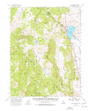
28 topographic sheets cover this place, the earliest surveyed in 1889 and the latest in 1988. It stands in the Topaz Lake census division. It lies in ZIP code area 89410. It stands on Nevada Creek. The Survey maps it on the Topaz Lake quadrangle.
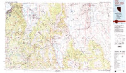
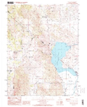
Topographic sheets covering this place
10 surveys from 28 printed sheetsMatched by testing this settlement's coordinate against the published boundary of every sheet in the United States Geological Survey's historical collection. Each opens the scanned sheet at the Survey.
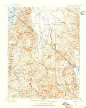
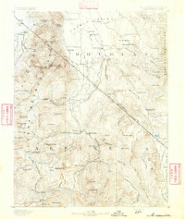
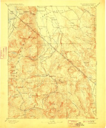
- 1889 USGS Markleeville quadrangle1:125000
- 1891 USGS Markleeville quadrangle1:125000
- 1893 USGS Markleeville quadrangle1:125000, 9 printings
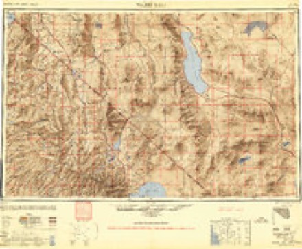
- 1948 USGS Walker Lake quadrangle1:250000, 2 printings
- 1956 USGS Topaz Lake quadrangle1:62500, 4 printings
- 1957 USGS Walker Lake quadrangle1:250000, 4 printings
- 1962 USGS Walker Lake quadrangle1:250000
- 1964 USGS Walker Lake quadrangle1:250000, 2 printings
- 1985 USGS Smith Valley quadrangle1:100000, 2 printings
- 1988 USGS Topaz Lake quadrangle1:24000, 2 printings
Fires near this place
62 since 1992Regional context, not property-specific evidence. The federal wildfire occurrence database lists 62 fires within 5 miles of Topaz Lake between 1992 and 2020, burning about 23,372 acres in total. 28 started naturally. 2 were recorded as arson. Distance is straight-line from the map coordinates, so a fire counted here may appear on a neighbouring settlement's page as well.
| Reported cause | Fires |
|---|---|
| Natural | 28 |
| Missing data/not specified/undetermined | 16 |
| Equipment and vehicle use | 6 |
| Recreation and ceremony | 5 |
| Debris and open burning | 3 |
| Arson/incendiarism | 2 |
| Smoking | 1 |
| Misuse of fire by a minor | 1 |
The most recent of them, most recent first, with the day each was reported and the service that recorded it.
| Date | Cause | Size | Reported by | Name on the report |
|---|---|---|---|---|
| 7 September 1997 | Recreation and ceremony | under an acre | Central California District | WATER |
| 28 September 1996 | Smoking | under an acre | Humboldt-Toiyabe National Forest | WILD OAT |
| 16 September 2018 | Missing data/not specified/undetermined | under an acre | East Fork Fire and Paramedic District | TOPAZ RANCH |
| 14 September 2003 | Equipment and vehicle use | 5.0 acres | Humboldt-Toiyabe National Forest | TOPAZ HILL |
| 10 September 2011 | Missing data/not specified/undetermined | 133 acres | Carson City District Office | EFKX 3 |
| 9 August 2014 | Natural | under an acre | Carson City District Office | TOPAZ |
| 8 August 1994 | Arson/incendiarism | 6,469 acres | Carson City District Office | HOLBROOK |
| 6 August 1997 | Natural | under an acre | Humboldt-Toiyabe National Forest | LODGE |
Settlements close enough to share some of these fires:
Mines and quarries near this place
10 of 23 shownRegional context, not property-specific evidence. The federal mineral resources record lists 23 workings within 5 miles of Topaz Lake: 13 past producers, 8 occurrences, 1 prospect, 1 unknown. None of them still produces. What was taken out: Gold, Silver, Lead, Tungsten. Distance is straight-line from the map coordinates, so a quarry counted here may appear on a neighbouring settlement's page as well.
| Where | Site | Commodity | Status | Recorded |
|---|---|---|---|---|
| A and C Mine | Tungsten, Zinc, Lead, Arsenic | Past Producer | ||
| Carbonate Hills Lead Prospect | Lead, Silver, Zinc | Past Producer | ||
| Lead-Zinc Occurrence | Lead, Zinc | Prospect | ||
| Sweet Water Mine | Molybdenum | Past Producer | ||
| Topaz Ranch Estates Pit | Sand and Gravel, Construction | Past Producer | ||
| Topz Lead-Silver | Lead, Silver, Copper | Past Producer | Underground | |
| Unnamed Mine | Lead, Gold | Occurrence | Vein | |
| Antimony | Lead, Silver, Gold | Past Producer | Replacement | |
| Section 7 Prospects | Gold, Silver | Occurrence | Vein | |
| Section 8 Prospects | Gold, Silver | Past Producer | Vein |
Storms near this place
10 since 2000Regional context, not property-specific evidence. The National Weather Service names Topaz Lake in 10 storm reports between 2000 and 2025: 3 flood, 3 debris flow, 2 hail, 1 thunderstorm wind. No death or injury is recorded in these reports. Each account below is quoted exactly as the forecast office filed it, from the NOAA Storm Events Database, and each date opens the federal record of that event.
| When | Event | Place named | Harm | What the report says |
|---|---|---|---|---|
| December 2022 | Flood | Topaz Lake | $5,000,000 | Heavy rains contributed to flooding and minor rock and mud flow along US-395 near Topaz Lake in Douglas County. |
| December 2005 | Flood | Topaz Lake | $973,000 | Flooding was reported in the Sunset Hills area of Mason Valley. U.S. Highway 395 was closed when floodwater from the Carson River covered Cradlebaugh Bridge. Mudslides occurred in the Foothill area of Douglas County. Highway 88 and Kimmerling Road were both closed when they were blocked by debris. |
| September 2022 | Debris Flow | Topaz Lake | $19,000 | Heavy rainfall over the eastern portion of the Tamarack burn scar caused a mud slide across Highland Way, 1.0 mi WSW Holbrook Junction in Douglas County. |
| July 2025 | Hail | Topaz Lake | - | Public reported via photo on social media. |
| September 2024 | Heavy Rain | Topaz Lake | - | NV Energy site at Wild Oat Mountain located 1.0 mi SSE of Holbrook Junction, NV, reported 24 hour storm total rainfall amount of 0.85 inches. |
| March 2023 | Debris Flow | Topaz Lake | - | NDOT reported 3.0 mi NNW of Holbrook Junction that US-395 was closed from Holbrook Jct. to Leviathan Mine Road due to mud and water flows on road. |
| June 2021 | Flood | Topaz Lake | - | Video shared on social media showed water flowing in ditches very near homes in Holbrook Junction. From slow moving thunderstorms. Radar estimated 1.5 to 2 inches of rain in one hour. |
| May 2018 | Debris Flow | Topaz Lake | - | A collapsing core within a thunderstorm produced heavy rainfall over the Slinkard burn scar west of Topaz Lake, which caused two pronounced debris flows off the burn scar onto U.S. Highway 395 near the California/Nevada state line. The debris flows were up to 5 feet deep in a few places and closed the highway for over 18 hours while crews removed the flow. Nearly 200 people from the nearby Topaz Lodge were forced to the second floor as mud hit the exterior part of the first floor. No injuries were reported. No damage estimates were available from Topaz Lodge. The portable RAWS site above the Slinkard Fire burn scar (NCRC1; elevation 7451 feet) recorded 0.27 inches of rainfall in 15 minutes at the time two debris flows were reported (21 May 1727PST). A total of 0.90 inches of rainfall eventually fell on the burn scar in a two and a half hour time period from 21 May 1652PST to 1922PST. The cost to clear the debris flow for the Nevada Department of Transportation was a total of $51,476, which includes labor and equipment costs. |
| June 2000 | Hail | Topaz Lake | - | Douglas County Sheriff reported 3/4 inch hail in Holbrook Junction. |
| July 2010 | Thunderstorm Wind | Topaz Lake | - | no account filed |
Nearest settlements
The eight closest, with where each one stands in the county. Distances are straight-line, computed from the Geographic Names Information System coordinates.
| Map | Place | Distance | Sheets |
|---|---|---|---|
| Holbrook Junction | 2.7 miles | 28 | |
| Mountain House (historical) | 3.8 miles | 28 | |
| Double Springs (historical) | 7.2 miles | 26 | |
| Mammoth Ledge (historical) | 9.4 miles | 26 | |
| Carman Heights | 9.9 miles | 26 | |
| Dresslerville | 16.7 miles | 29 | |
| Gardnerville Ranchos | 16.9 miles | 29 | |
| Twelvemile House | 16.9 miles | 29 |
Provenance
This settlement is recorded in the Geographic Names Information System as feature 862137. The sheet list is computed by point-in-boundary test against the United States Geological Survey's historical topographic inventory. Both are works of the United States government and carry no copyright under 17 U.S.C. 105.
Wildfire. Short, Karen C. 2022. Spatial wildfire occurrence data for the United States, 1992-2020 [FPA_FOD_20221014]. 6th Edition. Fort Collins, CO: Forest Service Research Data Archive. https://doi.org/10.2737/RDS-2013-0009.6 Collected with United States Government funding and usable without additional permissions or fees.
Mines and quarries. USGS Mineral Resources Data System (MRDS) https://mrdata.usgs.gov/mrds/ A work of the United States government, no copyright under 17 U.S.C. 105.
Storms. NOAA National Centers for Environmental Information, Storm Events Database https://www.ncei.noaa.gov/stormevents/ A work of the United States government, no copyright under 17 U.S.C. 105. Narratives are quoted verbatim from the National Weather Service report and are not edited or summarised.