Block
From the record
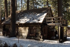
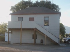
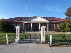
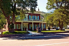
24 National Register listings published here.
Sources: the National Register database, National Park Service
112 topographic sheets and 7 fire insurance atlases across 2 places.
24 National Register listings published here.
Sources: the National Register database, National Park Service
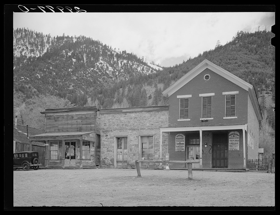
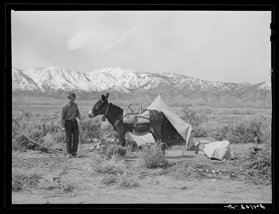
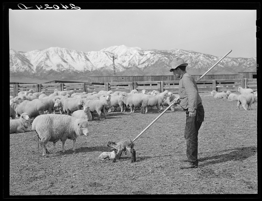
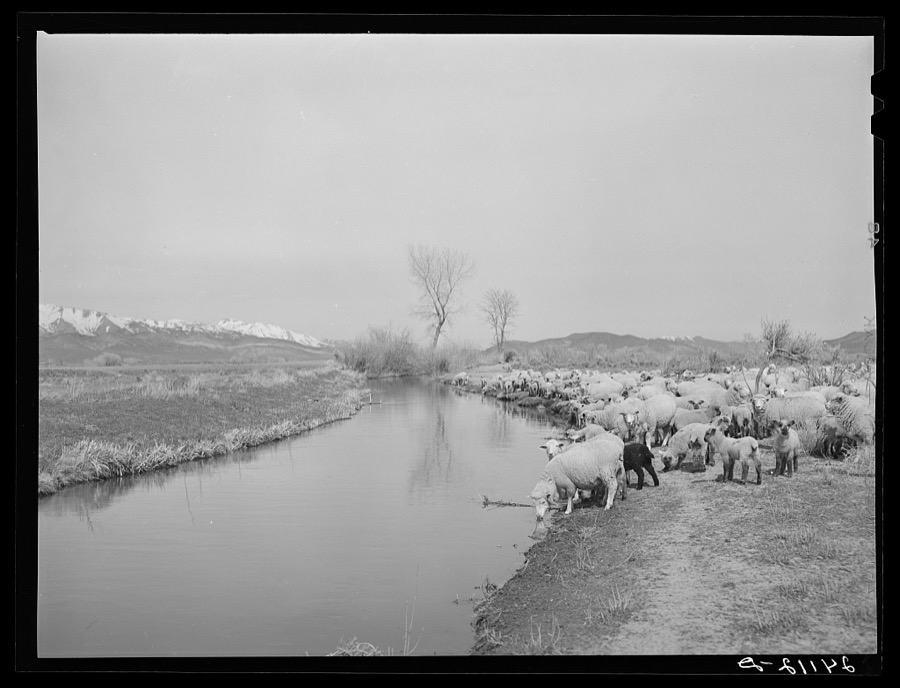
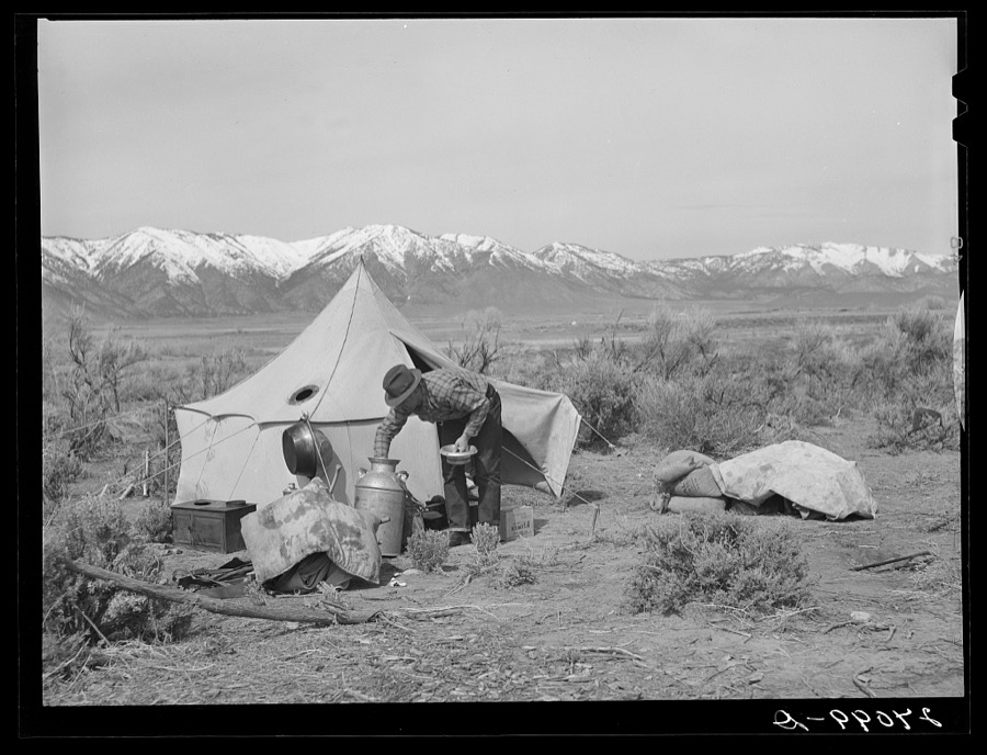
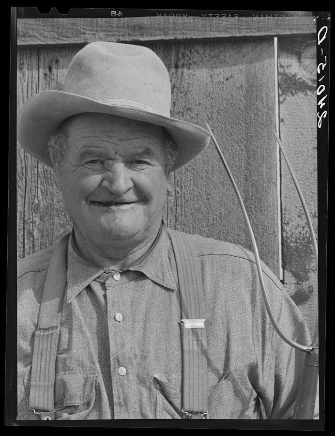
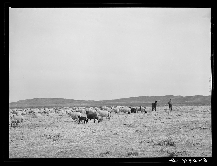
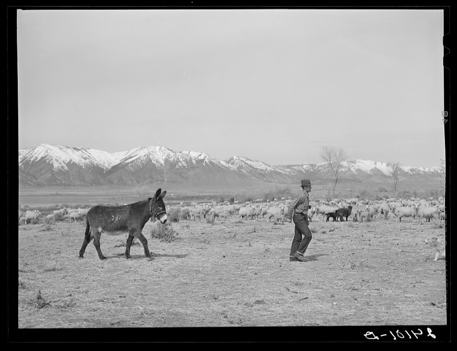
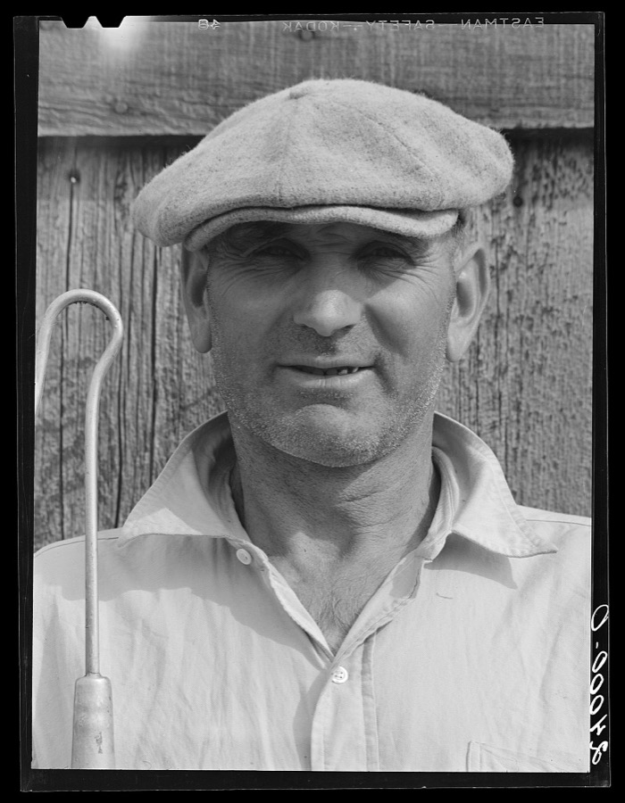
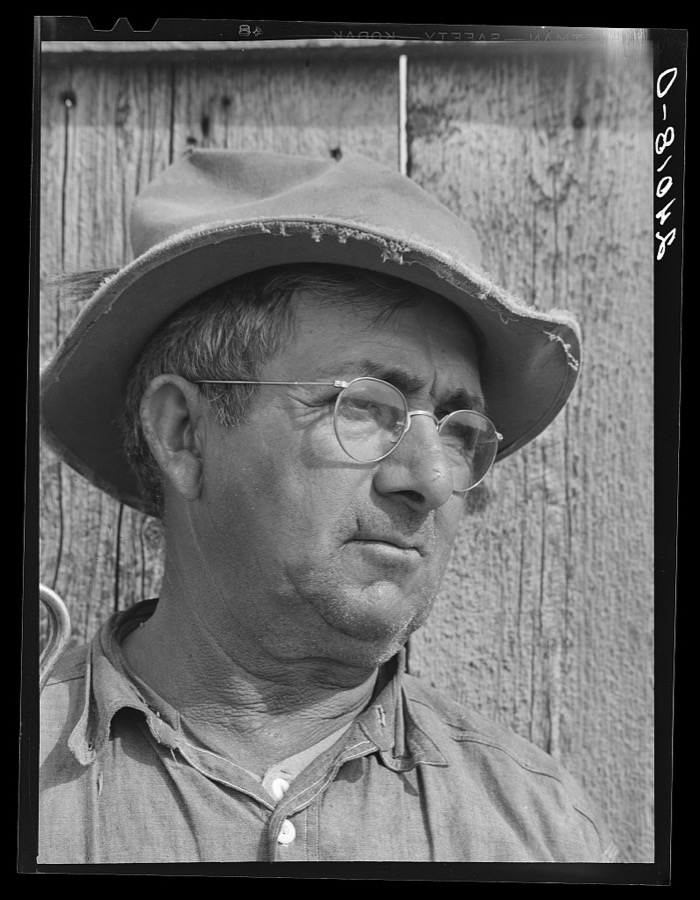
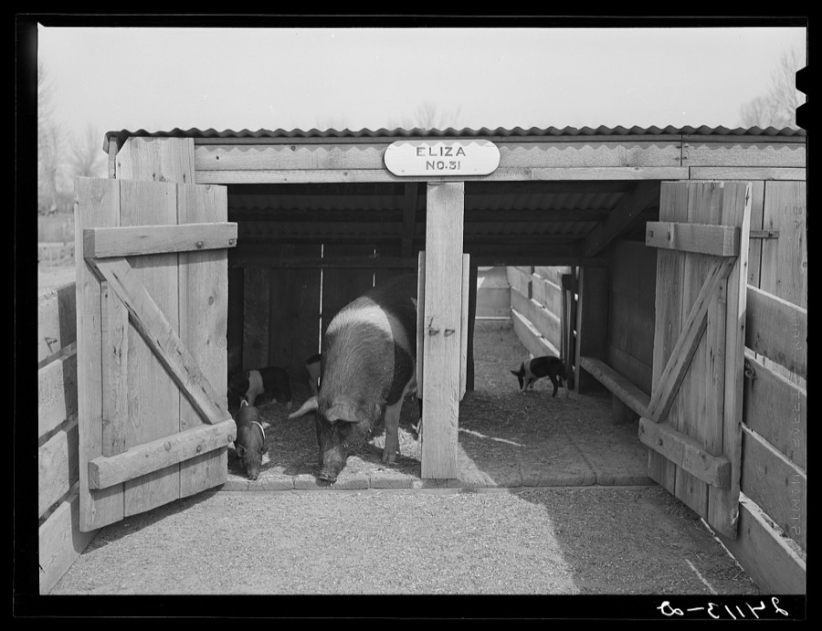
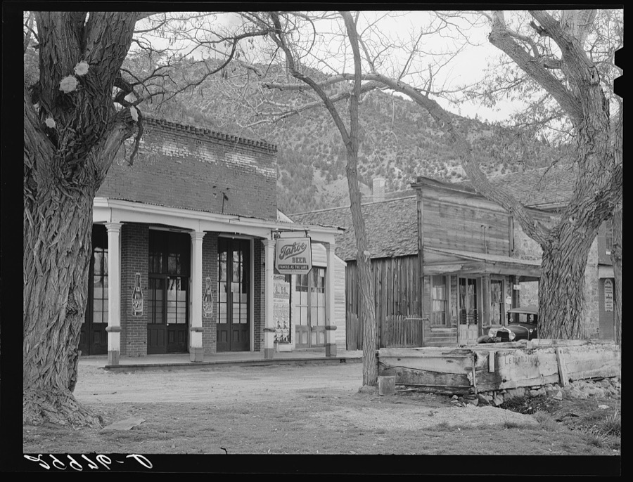
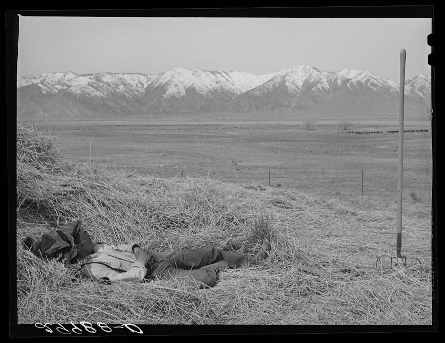
Taken for the Office of War Information and the Farm Security Administration, who photographed the country between 1935 and 1944. Works of United States government photographers, with no known restriction on use. Each opens its catalogue record.
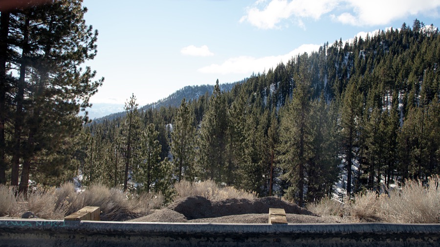
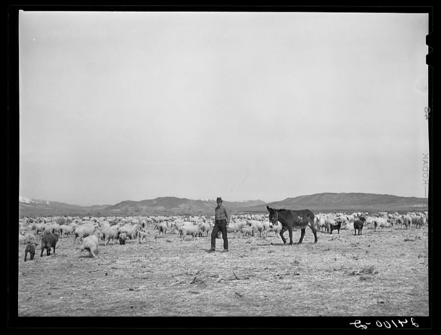
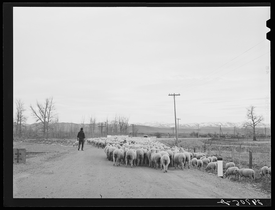
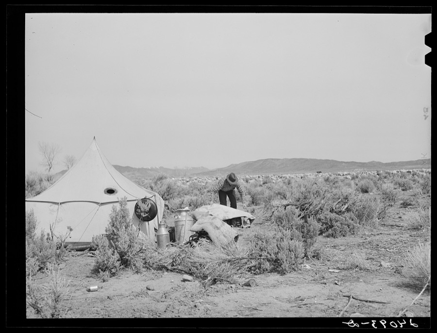
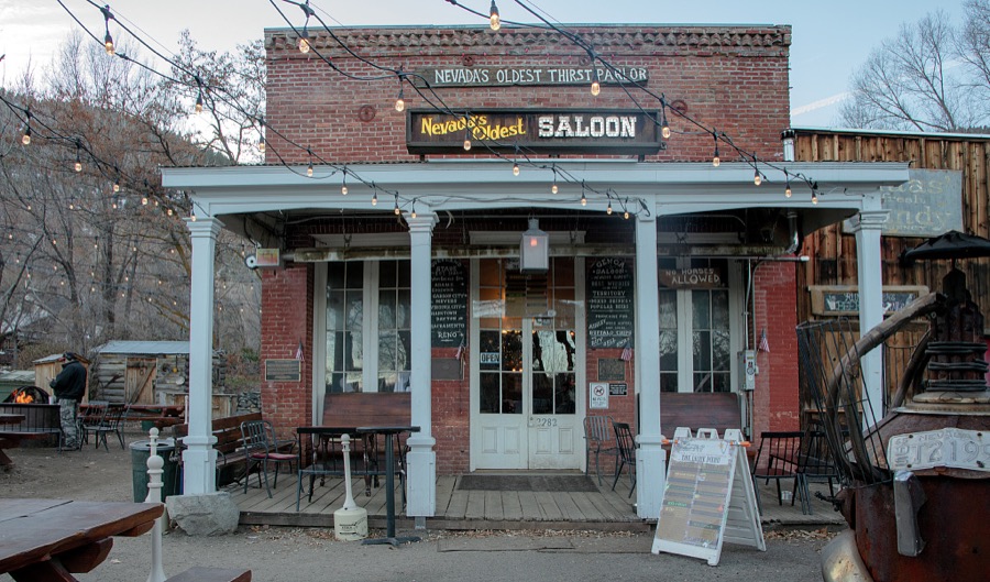
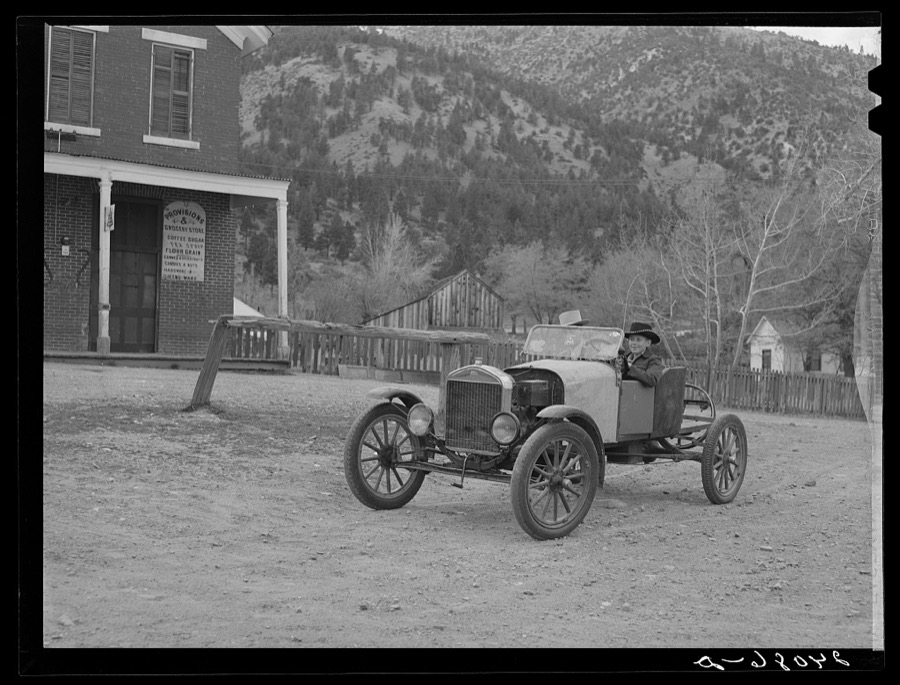
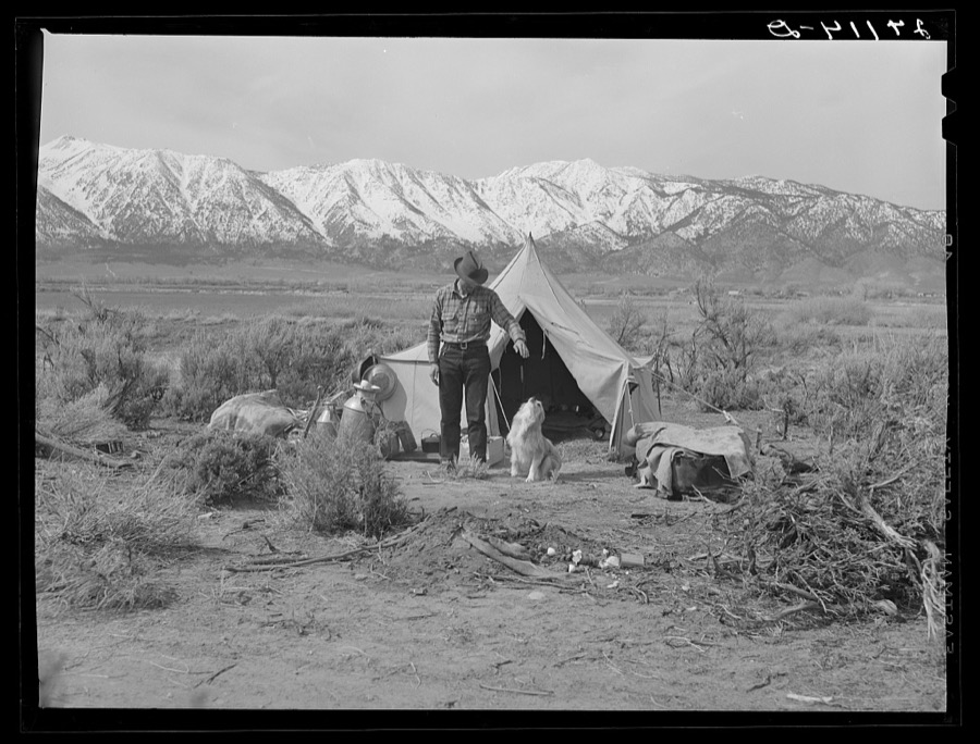
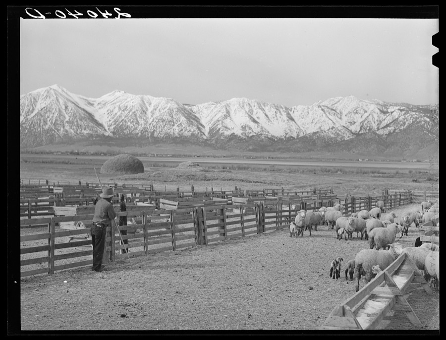
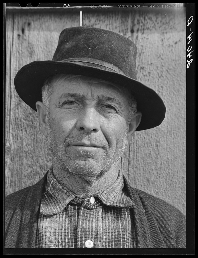
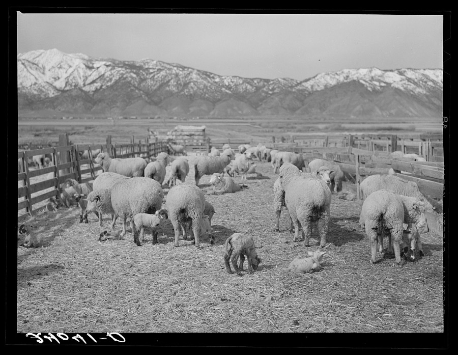
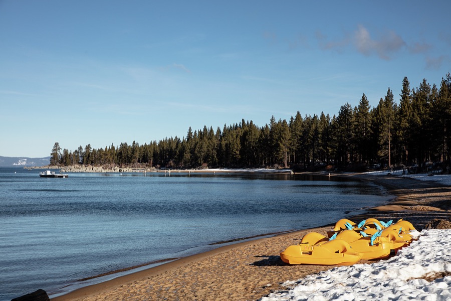
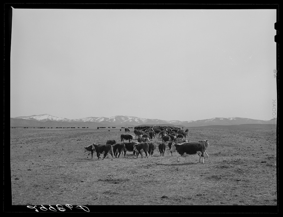
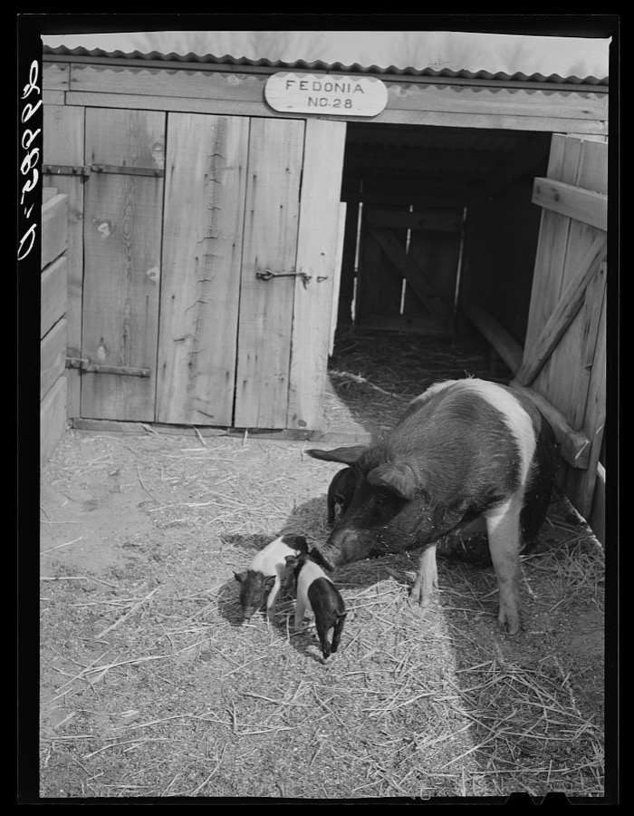
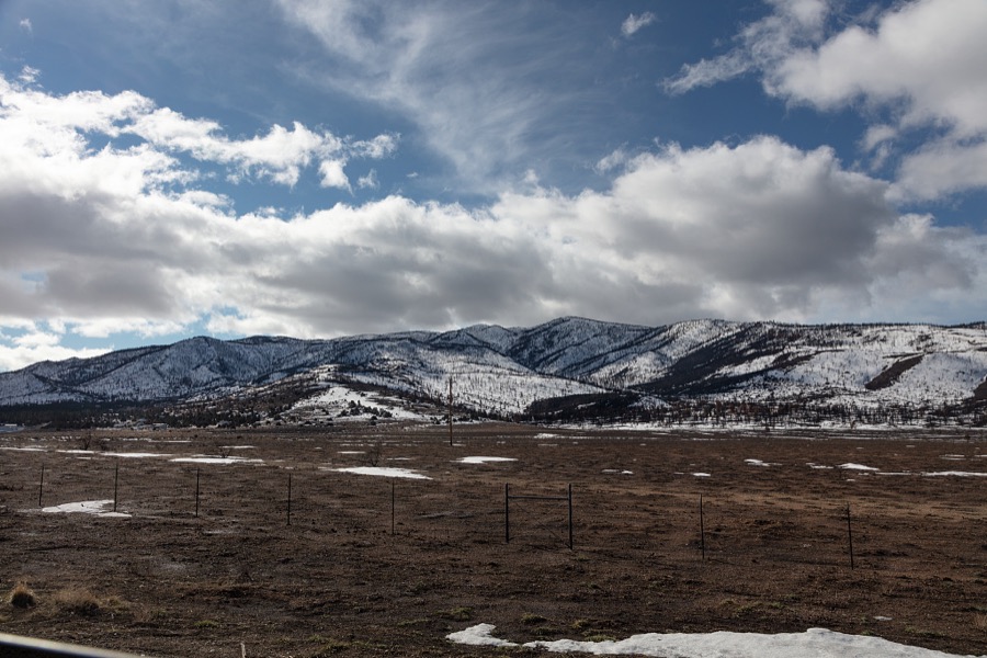
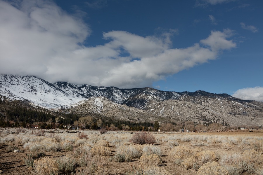
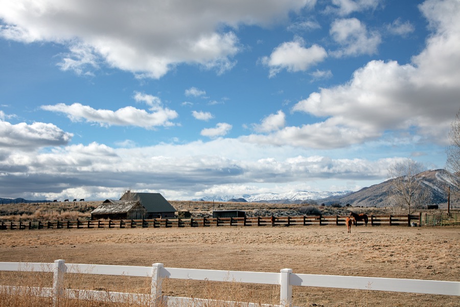
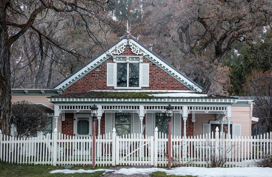
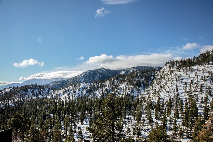
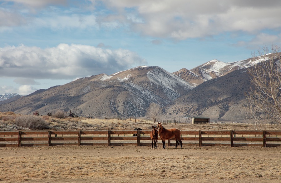

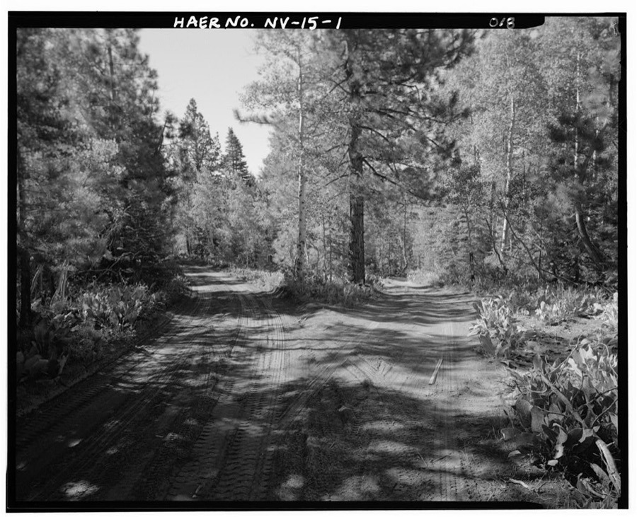
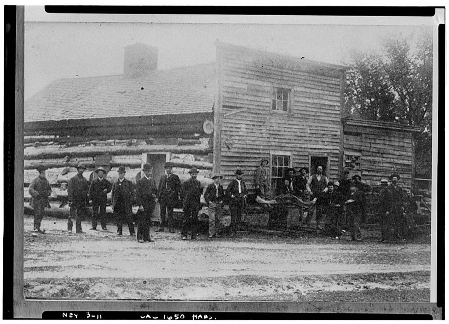
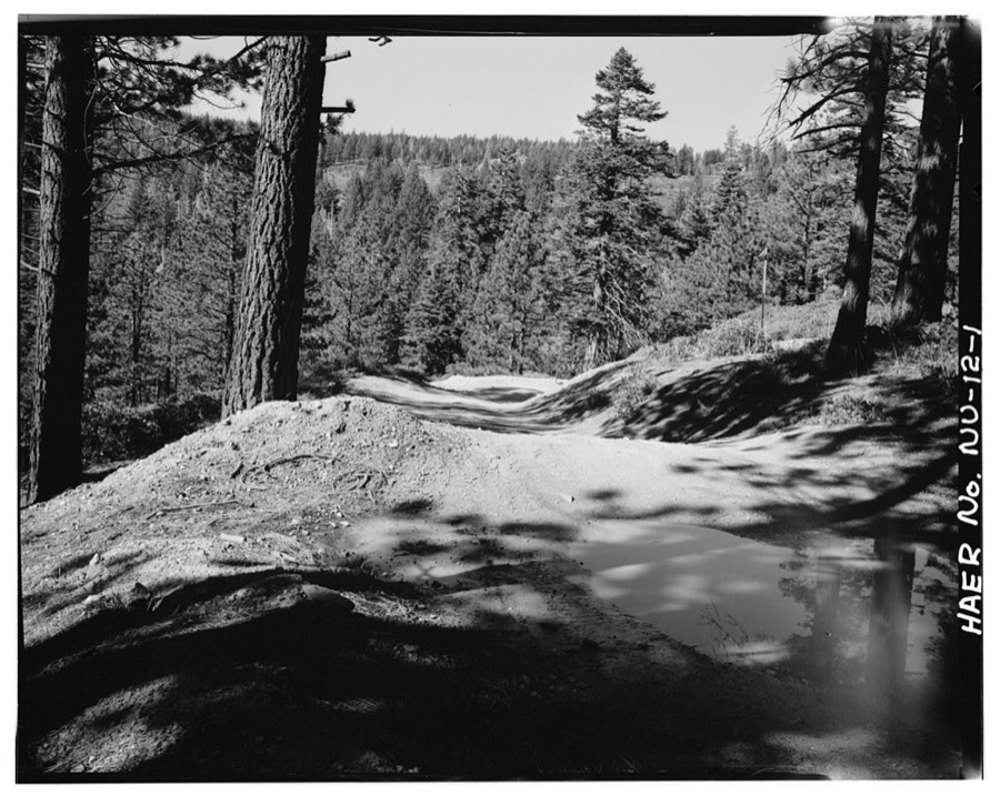
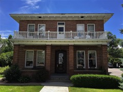
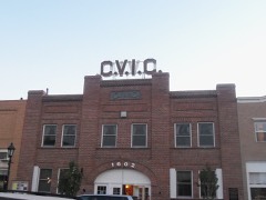
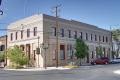
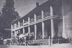
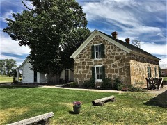
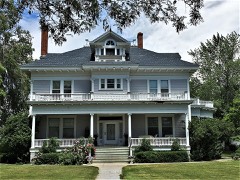
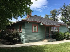
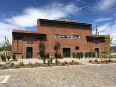
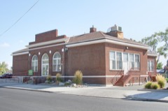
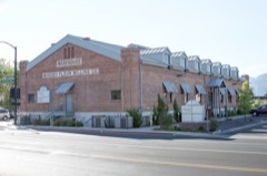
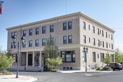
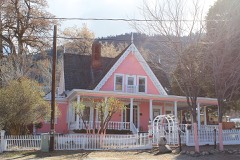
Every property in this county listed on the National Register of Historic Places, with the year it was listed and the federal nomination document.
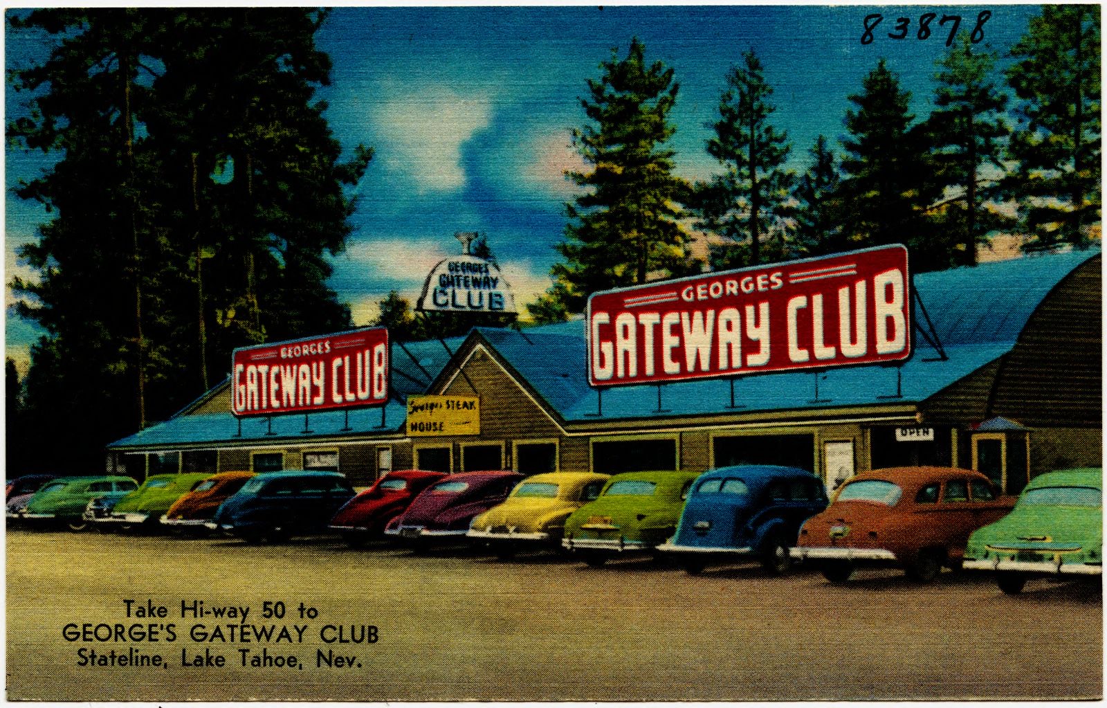
Selected from the Digital Public Library of America's 1 image records catalogued for this county. Every one shown here carries a public-domain status or a licence that permits reuse on a site that carries advertising; non-commercial, share-alike and restricted images are excluded. The selection is spread across the county's towns (at most eight per town), so no single institution's bulk upload crowds out the rest. Each opens the holding library's record, and the complete set at the Digital Public Library of America is one click away.
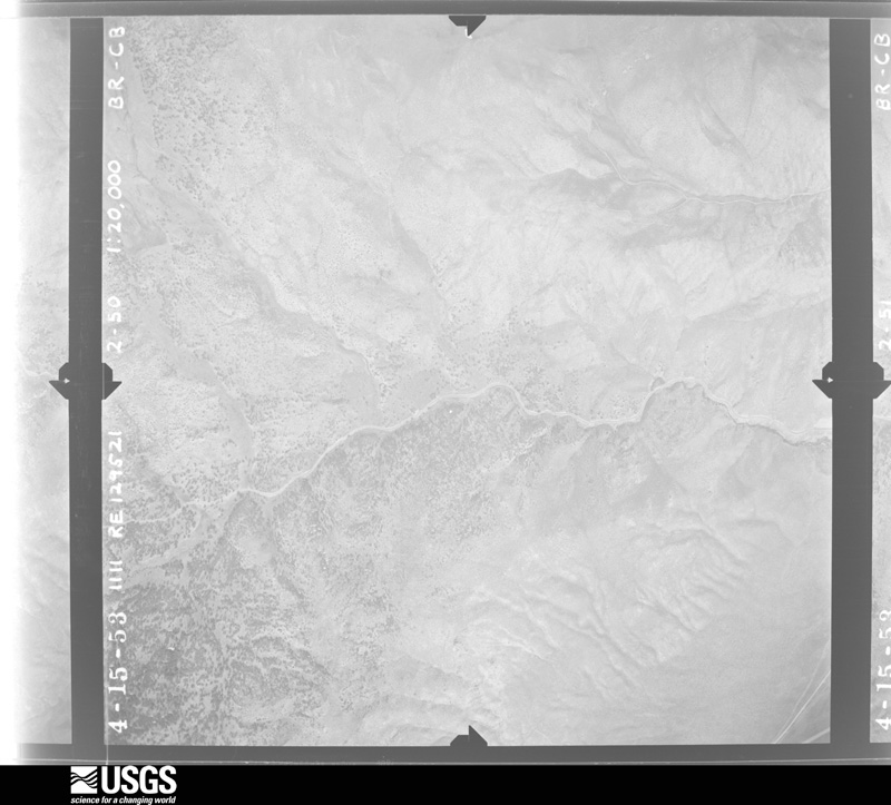
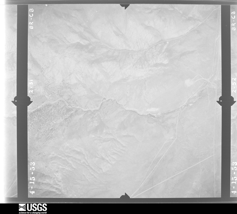
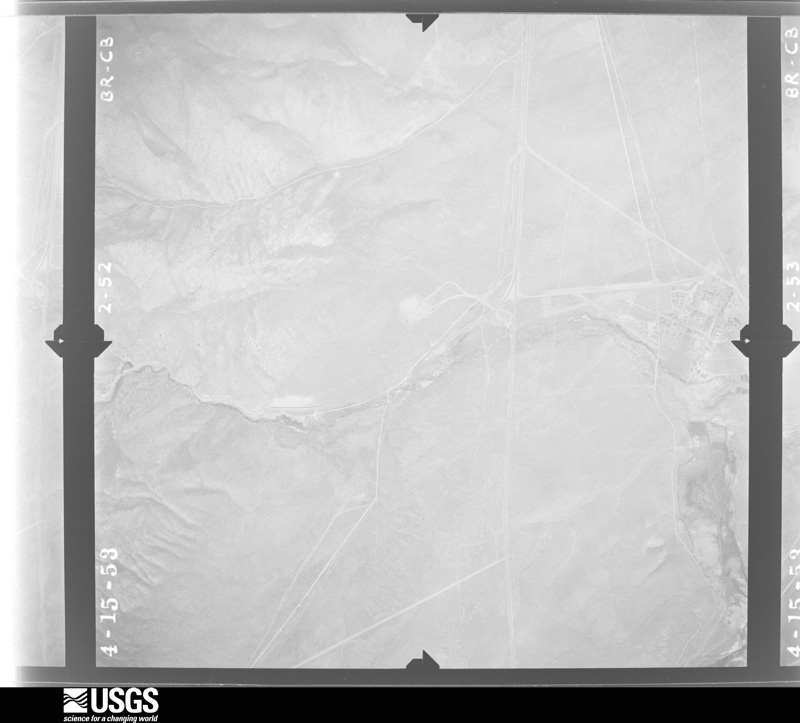
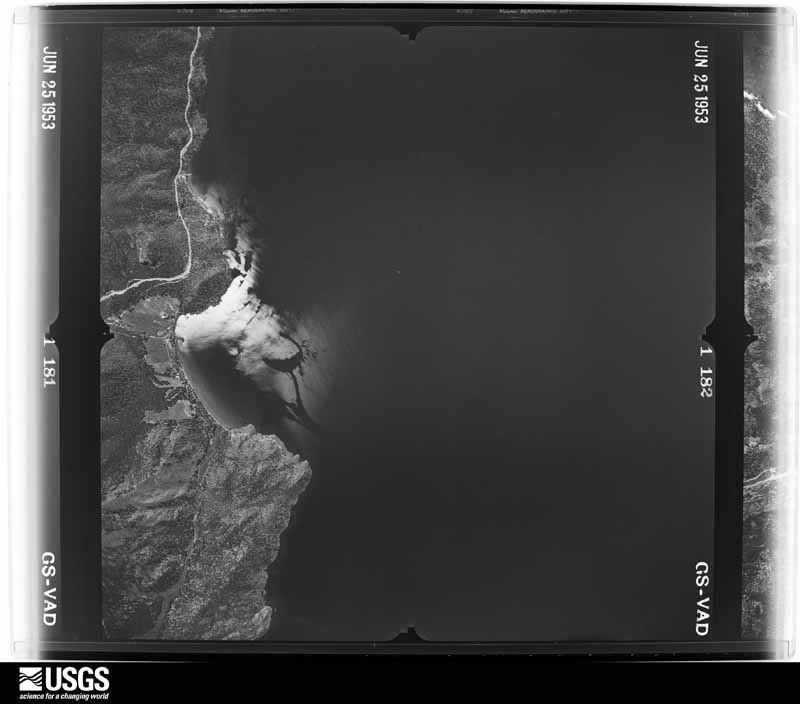
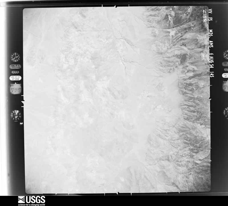
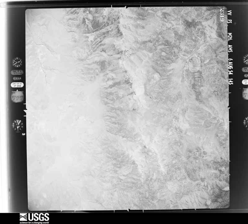
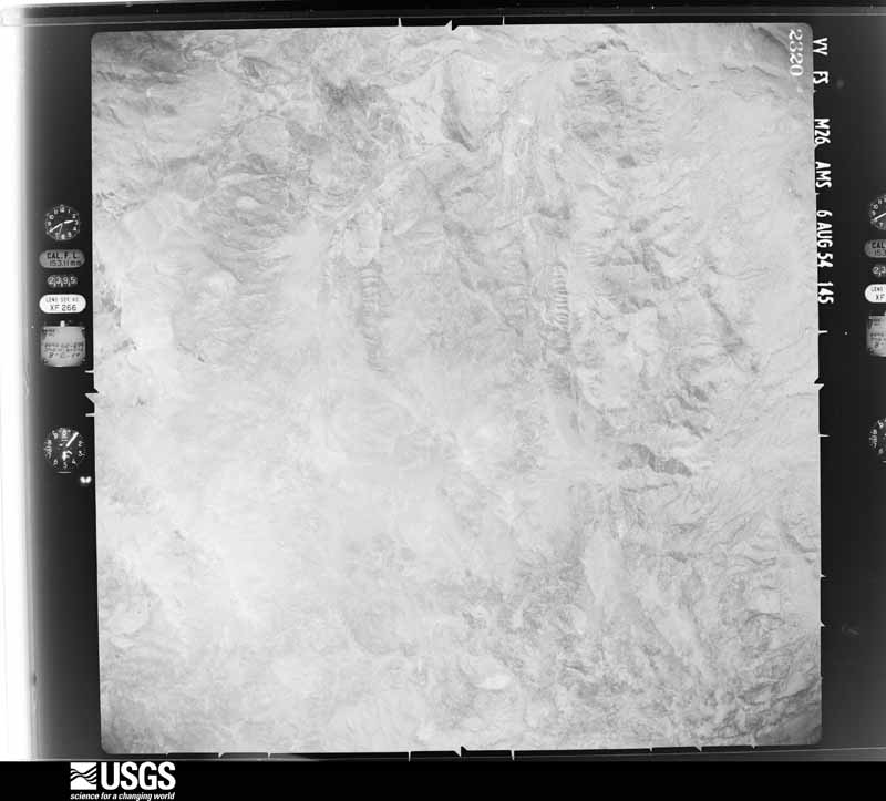
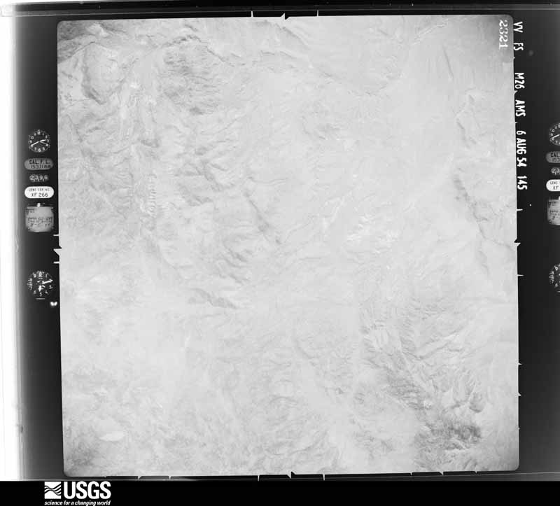
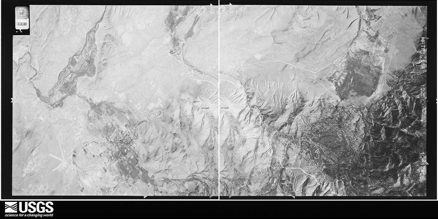
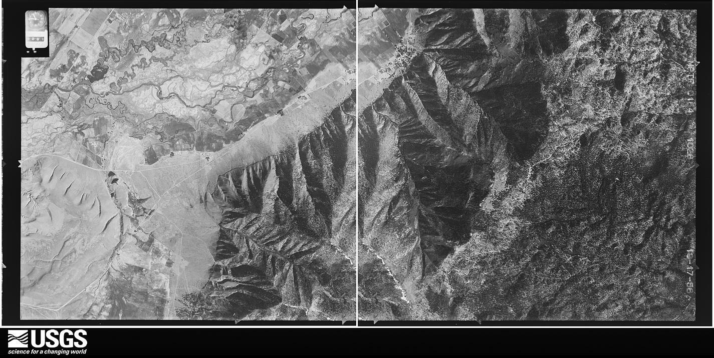
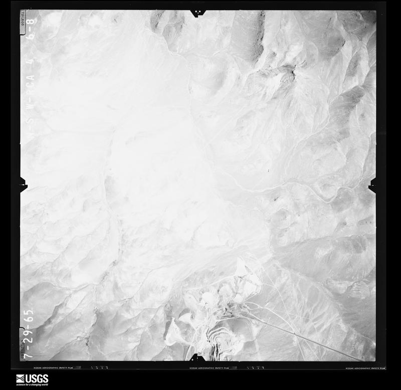
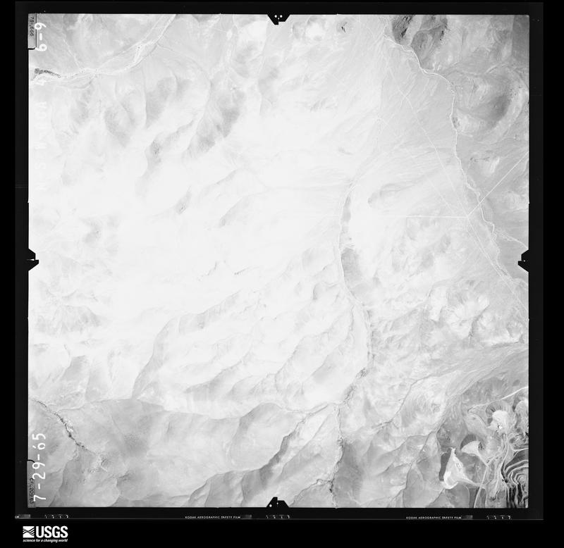
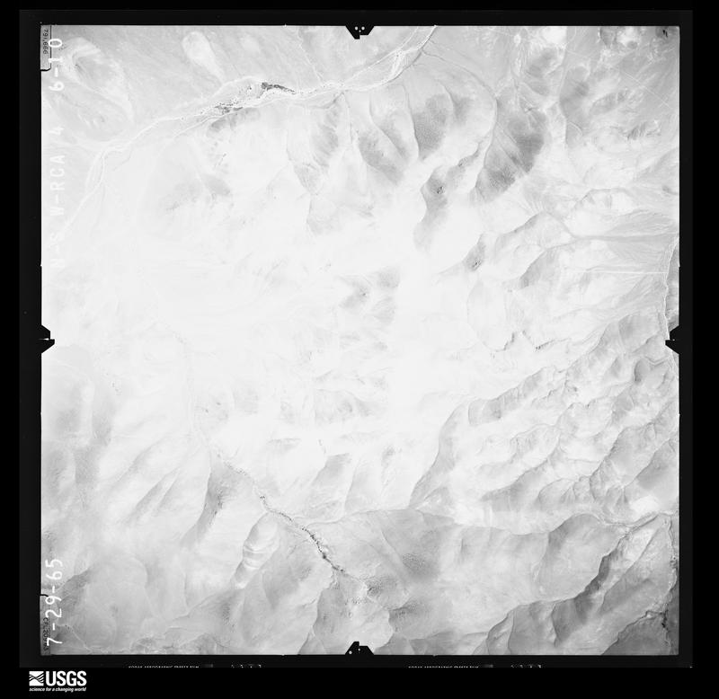
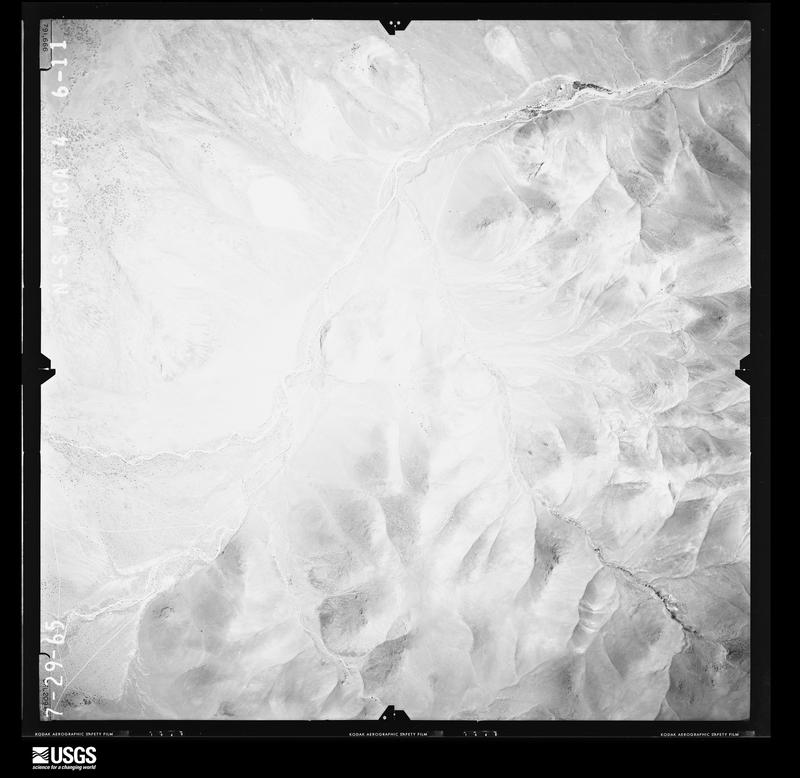
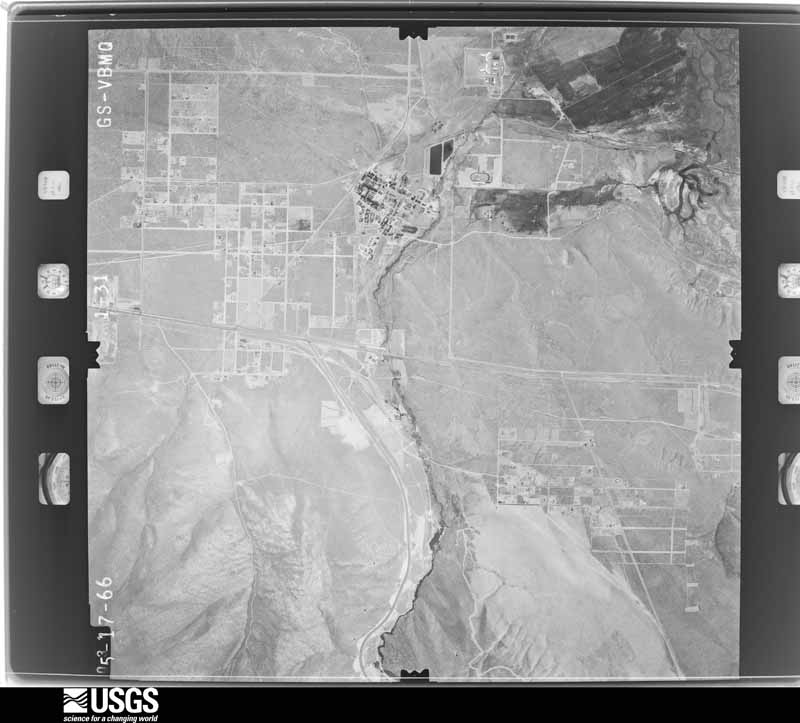
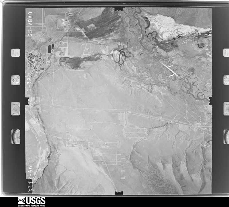
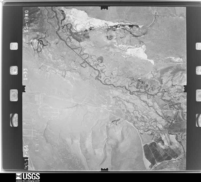
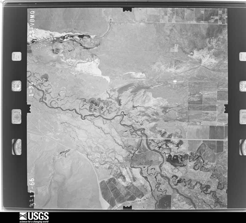
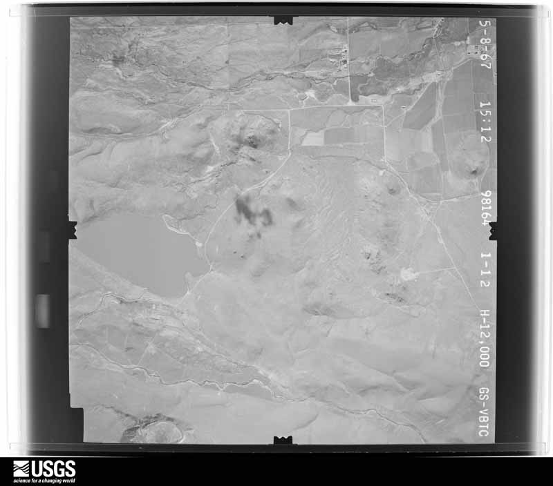
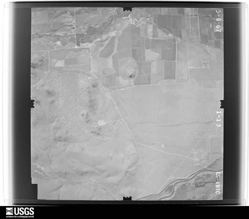
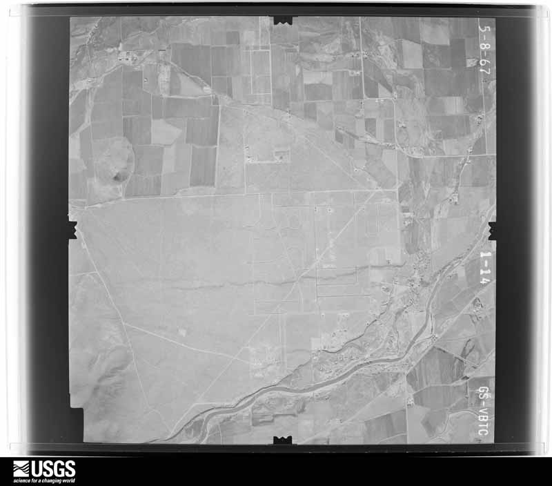
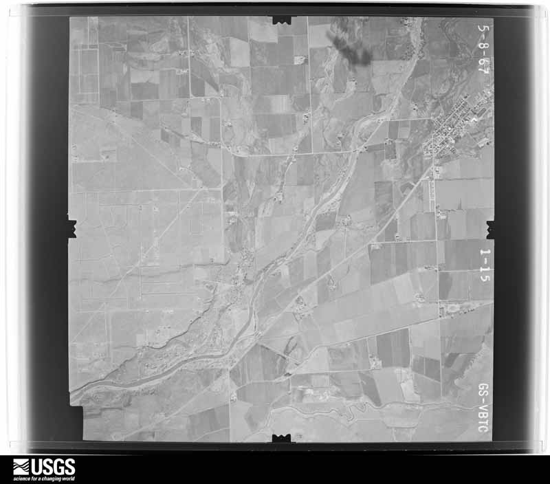
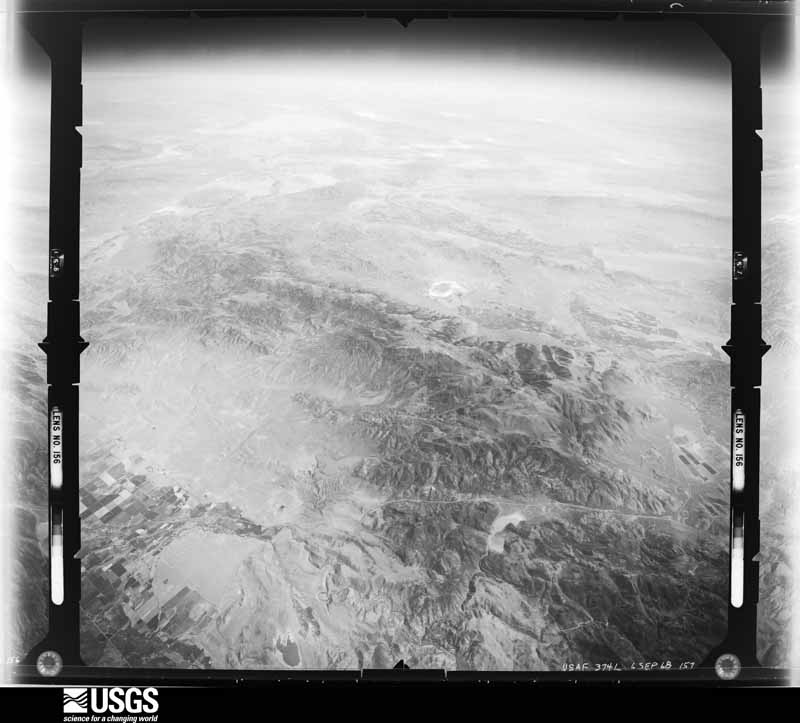
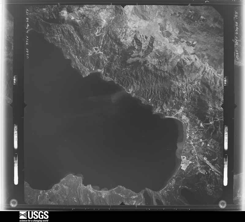
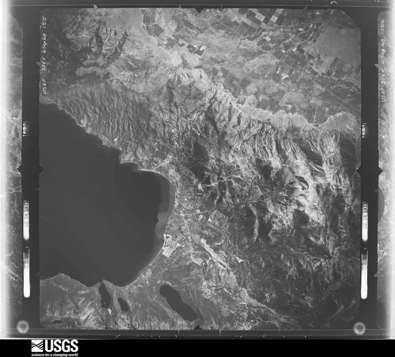
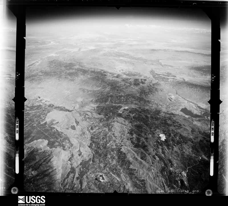
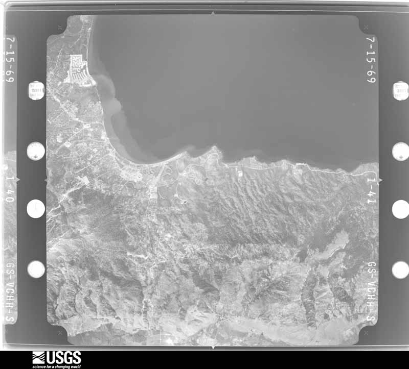
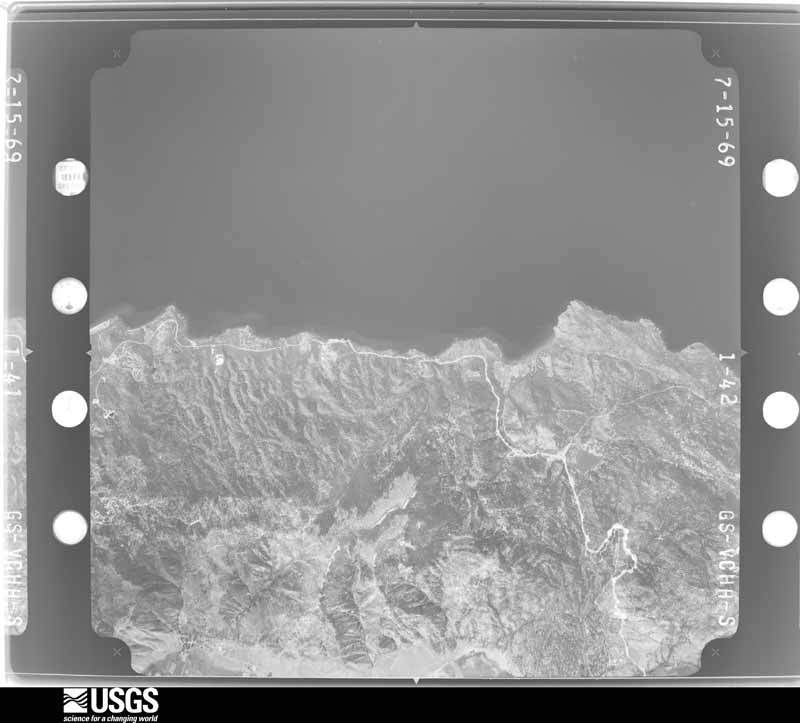
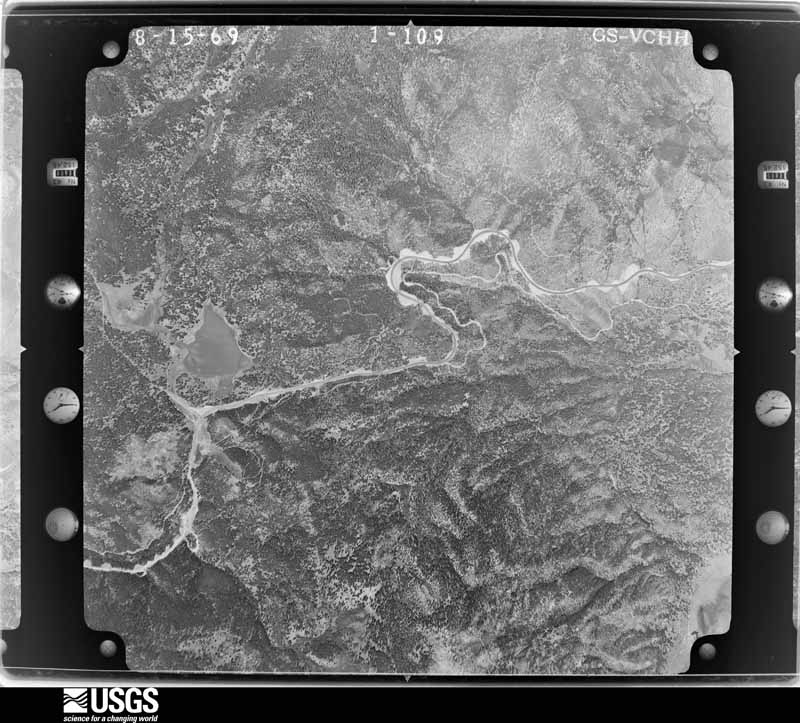
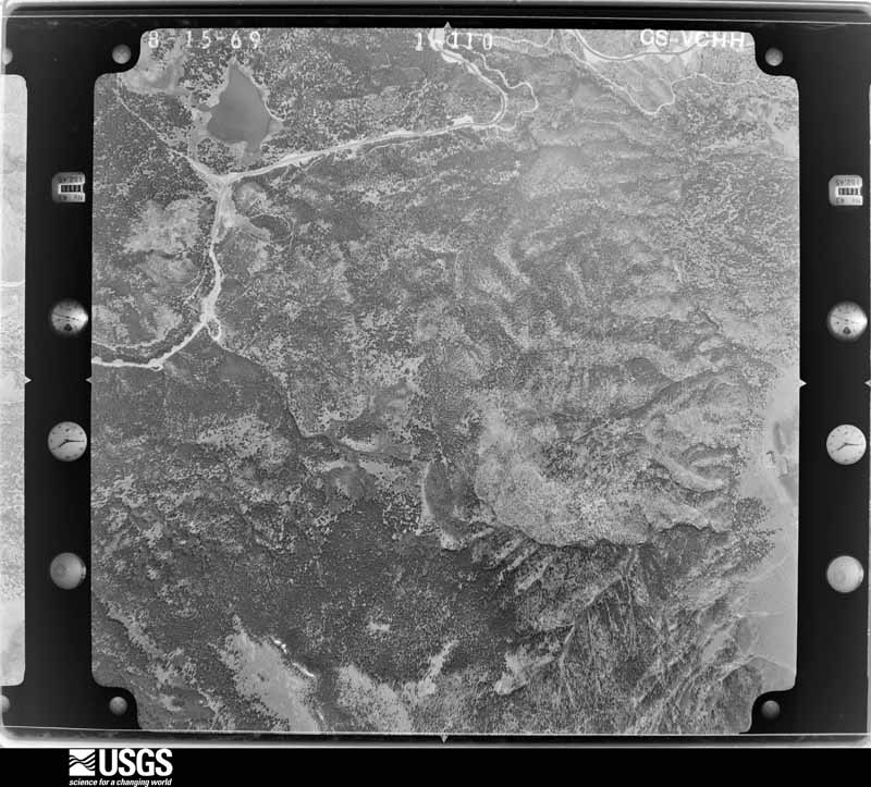
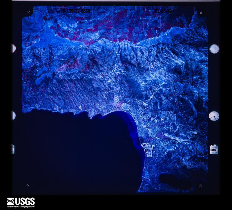
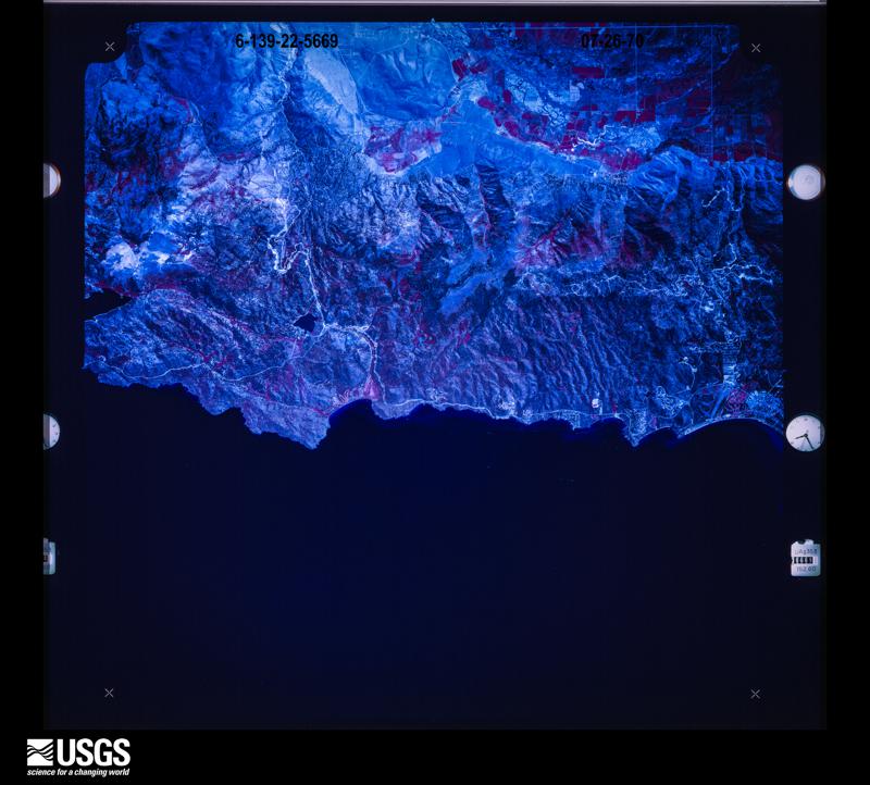
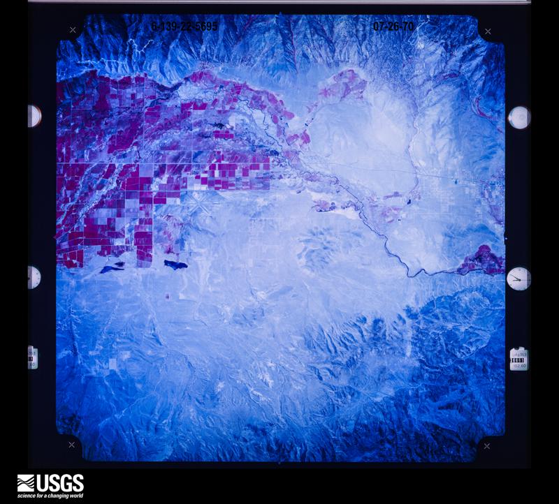
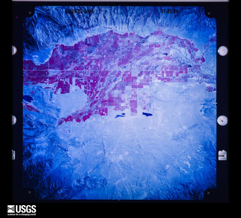
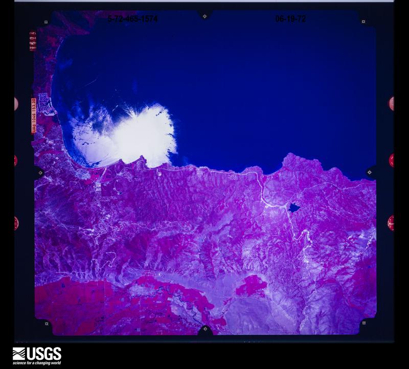
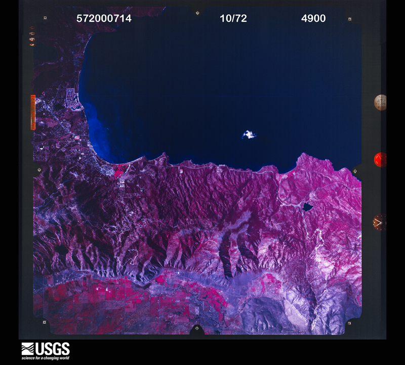
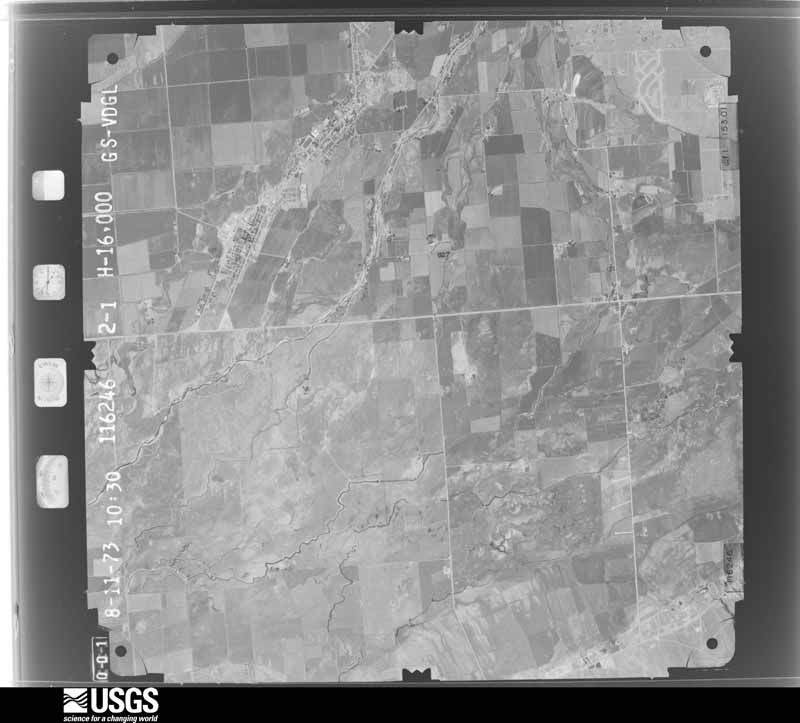
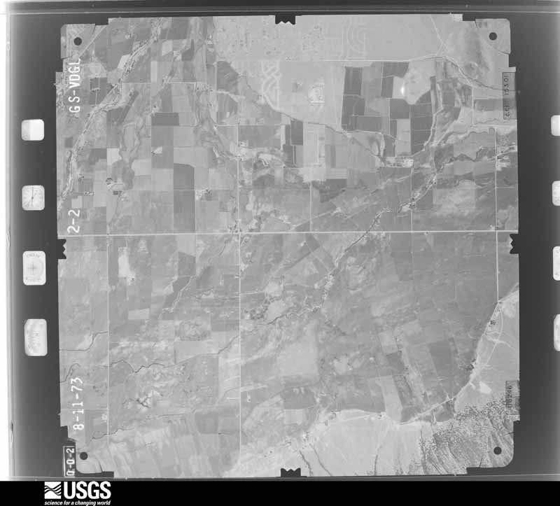
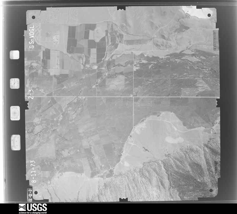
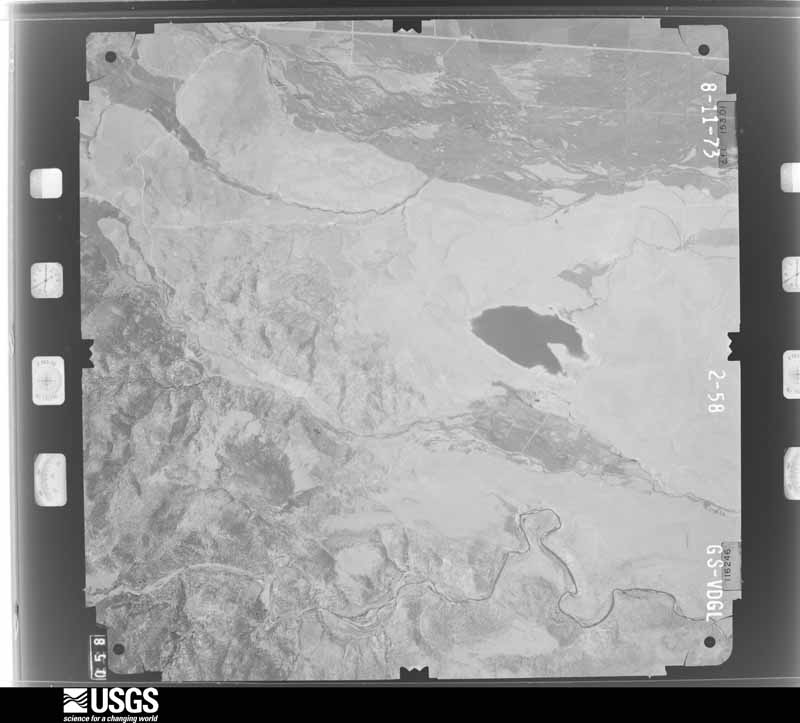
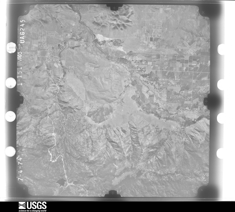
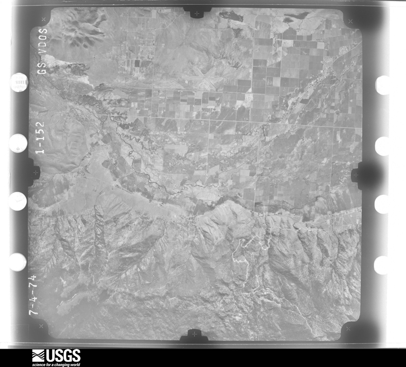
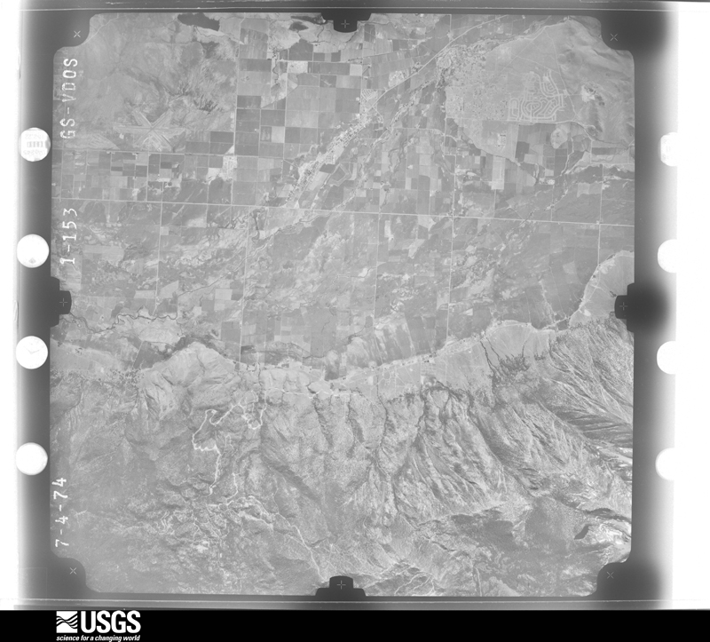
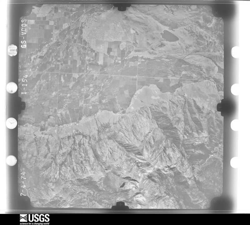
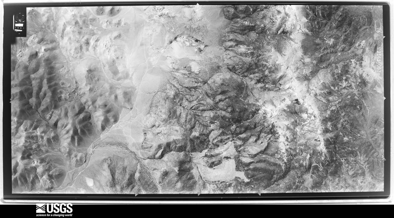
Flown by the U.S. Geological Survey between 1937 and 1989, the Aerial Photo Single Frames collection is the definitive mid-century view of the land: fields, roads and rivers as the camera saw them. The Survey holds 2,945 frames inside the rectangle that bounds this county; the 48 frames below were taken over the county itself, chosen across the decades of flights (at most four a year from that rectangle), so one flight cannot crowd out the rest. The full set is free to browse and download at EarthExplorer under the dataset Aerial Photo Single Frames.

The thermometers that kept this county's weather, and the gages that measured the flow of its streams, as the federal records hold them. The extremes below are measured values from those records, not estimates.
Who lived here in 1950, one enumeration district at a time, as the Census Bureau described each district. Each row opens its official National Archives result, with Population Schedules and ED Maps available there.
Every wildfire the federal occurrence database records inside this county: 715 of them, burning about 79,489 acres. 396 started naturally and 29 were recorded as arson. Each settlement page carries the fires within five miles of it.
| Reported cause | Fires |
|---|---|
| Natural | 396 |
| Missing data/not specified/undetermined | 99 |
| Recreation and ceremony | 71 |
| Equipment and vehicle use | 33 |
| Arson/incendiarism | 29 |
| Debris and open burning | 25 |
| Misuse of fire by a minor | 18 |
| Smoking | 14 |
| Fireworks | 13 |
| Firearms and explosives use | 7 |
| Other causes | 5 |
| Power generation/transmission/distribution | 5 |
The five largest, by the area the report gives. One of them was set deliberately.
| Date | Cause | Size | Reported by | Name on the report |
|---|---|---|---|---|
| 4 July 2013 | Natural | 24,140 acres | Carson City District Office | BISON |
| 6 July 2020 | Equipment and vehicle use | 18,380 acres | Carson City District Office | NUMBERS |
| 22 May 2012 | Debris and open burning | 7,153 acres | Carson City District Office | TRE |
| 8 August 1994 | Arson/incendiarism | 6,469 acres | Carson City District Office | HOLBROOK |
| 24 July 2017 | Natural | 5,386 acres | Carson City District Office | PREACHER |
| 16 August 2011 | Missing data/not specified/undetermined | 3,815 acres | Carson City District Office | WNA 20 |
| 24 June 2020 | Natural | 2,500 acres | Carson City District Office | MONARCH |
| 3 October 2017 | Equipment and vehicle use | 1,683 acres | Carson City District Office | CUTTER |
Every settlement page carries the fires within five miles of it - see the settlement index below.
The NOAA Storm Events Database holds 106 reports for this county, causing no deaths, 1 injury and about $9,641,000 in recorded property damage. Each settlement page carries the reports that name it.
| Kind of event | Reports |
|---|---|
| Heavy Rain | 48 |
| Flash Flood | 18 |
| Hail | 10 |
| Thunderstorm Wind | 8 |
| Flood | 8 |
| Debris Flow | 7 |
| Lightning | 5 |
| Wildfire | 1 |
| Tornado | 1 |
The most serious of them, by death, then injury, then recorded damage. The accounts are quoted exactly as the forecast office filed them.
| When | Event | Place named | Harm | What the report says |
|---|---|---|---|---|
| August 2004 | Lightning | Gardnerville | 1 hurt | A 12-year-old girl was struck by lightning in Gardnerville during the afternoon of the 12th. The condition of the girl was not known at the time of the report. |
| December 2022 | Flood | Topaz Lake | $5,000,000 | Heavy rains contributed to flooding and minor rock and mud flow along US-395 near Topaz Lake in Douglas County. |
| July 2015 | Flash Flood | Douglas Co Arpt | $2,000,000 | Very heavy rainfall caused water to overflow washes and overwhelm drainage infrastructure in the Johnson Lane area. Water damage to 141 properties, including major damage to 4 homes and minor damage to 7 homes, was reported by Douglas County Emergency Management officials. Damages are estimated and may include some costs from flooding on July 9 (total damage 2.2M between the two days). |
| December 2005 | Flood | Topaz Lake | $973,000 | Flooding was reported in the Sunset Hills area of Mason Valley. U.S. Highway 395 was closed when floodwater from the Carson River covered Cradlebaugh Bridge. Mudslides occurred in the Foothill area of Douglas County. Highway 88 and Kimmerling Road were both closed when they were blocked by debris. |
| January 2017 | Flood | Genoa | $750,000 | Kingsbury Grade (Highway 207) was closed due to a previously-repaired (in December 2016) sinkhole re-opening with the heavy rain. The damage estimate is based on the contracts awarded for repairing both the December and January incidents. |
| January 2006 | Flood | Minden | $524,000 | no account filed |
| July 2015 | Flash Flood | Douglas Co Arpt | $200,000 | Multiple videos from Reno news media (on Facebook) showed fast-flowing water over Stephanie Way and over low-water crossings at East Valley Road and Nye Dr. (near Johnson Lane). Douglas County sheriff's deputies noted several road closures in the area. Around 21 properties experienced damage from the flash flooding. Damages are approximate and based on the dividing of Douglas County Emergency Management's damage estimates for both July 8 and 9. |
| August 2014 | Flash Flood | Gardnerville | $50,000 | The Minden-Gardnerville Record Courier noted that a Douglas County fire marshal stated that 9 houses had interior damage due to flooding. Also, emergency officials indicated that 2 feet of water had flowed over Fish Springs Rd. A power pole was broken near Jacobsen Ln due to the flash flood. |
| July 2014 | Flash Flood | Douglas Co Arpt | $30,000 | Homeowner called 911 to report water flowing into his home at 1319PST. At least 5 other homes indicated mud (up to 3 to 5 feet) and water flows, with a video showing fast-flowing water down a street. |
| July 2014 | Debris Flow | Jacks Vly | $20,000 | A Facebook photo and a report from Douglas County Emergency Management indicated a large mud flow across Long Dr. The time of the event is estimated but was likely between 1330PST and 1430PST. |
| September 2022 | Debris Flow | Topaz Lake | $19,000 | Heavy rainfall over the eastern portion of the Tamarack burn scar caused a mud slide across Highland Way, 1.0 mi WSW Holbrook Junction in Douglas County. |
| August 2005 | Lightning | Gardnerville | $15,000 | Lightning struck the roof of a house in Gardnerville, starting a fire in the attic. Lightning also caused power outages in Gardnerville and Minden. Up to 2,100 people were temporarily without power as a result. |
| June 2015 | Flash Flood | Dresslerville | $10,000 | The Douglas County Emergency Manager reported 9 homes with damage due to flooding near the low water crossings in the Ruhenstroth subdivision area. A fire chief noted that the completely dry Pine Nut Creek was rapidly filled with a 4 to 5 foot wall of water. |
| August 2014 | Flash Flood | Dresslerville | $10,000 | A spotter reported that Pine Nut Creek was flooding near Lena Lane. The Minden-Gardnerville Record Courier received a report from the owner of City of Refuge (just downstream from Lena Ln) indicating flooding of the property's orchards. One home was flooded on Blue Sage Rd. |
| August 2012 | Debris Flow | Dresslerville | $10,000 | Large rocks and mud covered highway 395 near the Ray May burn scar as heavy rain caused the hillside to give way. The debris flow/rock slide caused highway 395 to be closed as heavy equipment was required to remove the rocks from the road. |
| June 2007 | Lightning | Genoa | $10,000 | The Nevada Appeal newspaper reported that lightning struck a house in Genoa around 5:30 pm PDT. The lightning strike tore a hole in the roof. The newspaper article stated that no fire or injuries from the lightning bolt were reported. |
| August 2022 | Debris Flow | Mottsville | $8,000 | NDOT and CHP reported mud, dirt, and rock in roadway making Jackson Ranch Road impassible. |
| June 2015 | Flash Flood | Gardnerville | $5,000 | The Douglas County Emergency Manager reported flash flooding impacts near low water crossings along Sawmill and Arroyo Roads. |
| August 2014 | Flash Flood | Douglas Co Arpt | $5,000 | Up to a foot of water over low spots in Johnson Lane. Water reported in two homes. |
| July 2001 | Lightning | Minden | $2,000 | no account filed |
| February 2025 | Heavy Rain | Gardnerville | - | CoCORAHS (NV-DG-4 Gardnerville) located 3.0 ESE of Heavenly Valley, NV, reported a 24 hour storm total rainfall amount of 1.59 inches. |
| July 2025 | Hail | Topaz Lake | - | Public reported via photo on social media. |
| September 2025 | Flash Flood | Dresslerville | - | Video and pictures from a fire department employee and public show Buckskin Ct road flooding along with multiple houses and stables in the vicinity. |
| September 2025 | Flash Flood | Dresslerville | - | Nevada DOT reported minor debris and flooding on both directions of US-395 with both lanes blocked. |
| February 2024 | Heavy Rain | Mottsville | - | A CoCORAHS station (NV-DG-23) located 3.0 mi ESE of Heavenly Valley, NV, reported a 24 hr rainfall storm total of 1.50. |
| July 2024 | Heavy Rain | Glenbrook | - | A mesonet station NSPO located on Spooner Summit, CA, reported a total rainfall amount of 1.06 inches. |
| July 2024 | Heavy Rain | Gardnerville | - | A Cocorahs station (NV-DG-11- Gardnerville) located 3.9 S of Gardnerville, NV, reported a total rainfall amount of 0.60 inches. |
| September 2024 | Heavy Rain | Topaz Lake | - | NV Energy site at Wild Oat Mountain located 1.0 mi SSE of Holbrook Junction, NV, reported 24 hour storm total rainfall amount of 0.85 inches. |
| December 2024 | Heavy Rain | Gardnerville | - | A trained spotter located 4.0 mi W of Gardnerville Ranch, NV, reported 24 hour storm total rainfall of 0.54 inches. |
| November 2024 | Heavy Rain | Gardnerville | - | CoCORAHS (NV-DG-23 Gardnerville) located 5.7 miles W of Gardnerville, NV, reported 24 hour storm total rainfall of 0.92 inches. |
| March 2023 | Heavy Rain | Gardnerville | - | A COCORAHS (NV-DG-23 Gardnerville) located 5.7 mi W of Gardnerville, NV, reported a 24-hour rainfall total of 2.27 inches. |
| March 2023 | Debris Flow | Topaz Lake | - | NDOT reported 3.0 mi NNW of Holbrook Junction that US-395 was closed from Holbrook Jct. to Leviathan Mine Road due to mud and water flows on road. |
| October 2023 | Heavy Rain | Genoa | - | A CO-OP Observer station (DAGN2 ) located at Dagget Pass, NV reported a total rainfall amount of 0.62 inches. |
| March 2023 | Heavy Rain | Gardnerville | - | A COCORAHS (NV-DG-11 Gardnerville) located 3.9 mi S of Gardnerville, NV, and a CO-OP Observer (MINN2) located in Minden, NV, reported 24-hour rainfall totals of 1.78 and 1.52 inches respectively. |
| June 2023 | Heavy Rain | Gardnerville | - | A mesonet station (FISN2-Fish Springs) located 5.0 mi ESE of Gardnerville, NV, reported a total rainfall amount of 0.96 inches. |
| December 2023 | Heavy Rain | Glenbrook | - | Mesonet station (NSPO) located at Spooner Summit, NV (DRI), reported a 24hr rainfall storm total of 0.86 inches. |
| September 2023 | Heavy Rain | Glenbrook | - | A CO-OP Observer located 1.0 mi S of Glenbrook, NV, reported a storm total rainfall amount of 0.67 inches. |
| September 2022 | Flash Flood | Dresslerville | - | Heavy rainfalls lead to water over the road near US-395 and Spring Valley drive. |
| August 2022 | Heavy Rain | Centerville | - | Trained weather spotter located 3.0 miles WSW of Gardnerville Ranch reported a total rainfall amount of 3.1 inches from 12:00 PM to 17:25 PM LST. Spotter also reported flooding issues along Foothill Road in the area. |
| August 2022 | Heavy Rain | Douglas Co Arpt | - | Trained weather spotter located 1.0 miles W of Johnson Lane reported a total rainfall amount of 2.5 inches that fell during the period from 12:00 PM to 18:33 PM. |
| September 2022 | Heavy Rain | Zephyr Cove | - | Mesonet stations SKYN2-Skyland (2.0 mi NNE of Zephyr Cove, NV) and FW9917 (in Glenbrook, NV) reported heavy rainfall amounts of 0.54 and 0.63 inches respectively. |
| August 2022 | Flood | Centerville | - | Trained spotter located 3.0 mi WSW of Garnerville Ranch, NV, reported some mud over foothill road, and also some minor flooding impacts. Rainfall total over a 1.5 hour period was reported as 1.98 inches. |
| December 2022 | Heavy Rain | Genoa | - | Mesonet Station (NCVA) NW Minden located 3.0 mi ESE of of Genoa, NV, and mesonet station (NSPO) located at Spooner Summit, NV, reported rainfall totals of 2.37 inches and 2.19 inches respectively. |
| July 2021 | Flash Flood | Gardnerville | - | Spotter reported 4-6 inches of water running where Fish Springs and Jacobsen Lane meet. Nearby Pine Nut Creek full due to runoff on the Numbers Fire burn scar. |
| June 2021 | Flood | Topaz Lake | - | Video shared on social media showed water flowing in ditches very near homes in Holbrook Junction. From slow moving thunderstorms. Radar estimated 1.5 to 2 inches of rain in one hour. |
| November 2021 | Heavy Rain | Gardnerville | - | Trained spotter 3 mi WSW of Gardnerville Ranchos reported 0.81 inches of rainfall measured in 12 hour period. |
| August 2021 | Thunderstorm Wind | Centerville | - | Local media reported branches down on Waterloo Lane. Nearby mesonet stations reported wind gusts over 50 MPH. |
| December 2021 | Heavy Rain | Centerville | - | A trained spotter reported heavy rain total of 1.13 during this period. |
| December 2021 | Heavy Rain | Gardnerville | - | Trained spotter reported 1.13 of heavy rain. |
| March 2019 | Heavy Rain | Glenbrook | - | Mesonet station NSPO at Spooner Summit reported 0.78 inches of rainfall from 27 March 0830PST to 28 March 0830PST. Mesonet elevation 7040 feet MSL. |
| March 2019 | Heavy Rain | Jacks Vly | - | Mesonet station E8944, 1 east-northeast of Indian Hills reported 0.67 inches of rainfall in a 24 hour period from 27 March 0943PST to 28 March 0943PST. Mesonet elevation 4845 feet MSL. |
| January 2019 | Heavy Rain | Mottsville | - | CoCoRaHS station NV-DG-23 3 miles east-southeast of Heavenly Valley reported 1.06 inches of rainfall in a 24 hour period from 16 January 0800PST to 17 January 0800PST. |
| January 2019 | Heavy Rain | Douglas Co Arpt | - | Mesonet D9477 1 mile southeast of Johnson Lane reported 0.94 inches of rainfall in a 24 hour period from 16 January 0325PST to 17 January 0325PST. Mesonet elevation 5000 feet MSL. |
| March 2019 | Heavy Rain | Gardnerville | - | CoCoRaHS station NV-DG-4 in 5 miles west of Gardnerville reported 0.75 inches of rainfall in a 24 hour period from 27 March 0600PST to 28 March 0600PST. |
| March 2019 | Heavy Rain | Mottsville | - | CoCoRaHS station NV-DG-4 5 miles west of Gardnerville reported 0.62 inches of rainfall from 6 March 0700PST to 7 March 0700PST. |
| December 2019 | Heavy Rain | Mottsville | - | CoCoRaHS station NV-DG-23 6 miles west of Gardnerville reported 1.47 inches of rainfall in a 24-hour period from 7 December 0700PST to 8 December 0700PST. |
| December 2019 | Heavy Rain | Centerville | - | Trained weather spotter 3 miles west-southwest of Gardnerville Ranchos reported 1.29 inches of rainfall in a 48-hour period from 6 December 1835PST to 8 December 1835PST. |
| December 2018 | Heavy Rain | Gardnerville | - | Trained weather spotter 3 miles west-southwest of Gardnerville Ranchos reported 0.87 inches of rainfall in a 24-hour period from 24 December 0807PST to 25 December 0807PST. |
| March 2018 | Heavy Rain | Gardnerville | - | CoCoRaHS station NV-DG-11, Gardnerville reported 2.33 inches of storm total rainfall from 20 March 0520PST to 23 March 0520PST. |
| March 2018 | Heavy Rain | Douglas Co Arpt | - | CoCoRaHS station NV-DG-2, Johnson Lane reported 1.61 inches of storm total rainfall from 20 March 0600PST to 23 March 0600PST. |
The Survey's mineral resources record lists 172 workings inside this county. 11 still produce and 161 are closed or unrecorded. Each settlement page carries the workings within five miles of it.
| Commodity | Workings |
|---|---|
| Gold | 52 |
| Tungsten | 22 |
| Sand and Gravel, Construction | 18 |
| Uranium | 15 |
| Copper | 15 |
| Silver | 15 |
| Gold, Silver | 7 |
| Sulfur | 6 |
| Lead | 6 |
| Molybdenum | 5 |
| Gold, Copper | 4 |
| Antimony | 3 |
| Silver, Silica | 3 |
| Silver, Gold | 2 |
The least common of them first, because a county's hundredth gravel pit says nothing its first ten did not.
| Where | Site | Commodity | Status | Recorded |
|---|---|---|---|---|
| A and C Mine | Tungsten, Zinc, Lead, Arsenic | Past Producer | ||
| Arrowhead Extension Mine | Lead, Silver | Past Producer | Galena, Scheelite | |
| Artesia Blue Mine | Gemstone | Past Producer | ||
| B.C. Claims | Silver, Copper, Gold | Occurrence | Pyrite | |
| Blue Metal Corundum | Titanium, Metal | Occurrence | ||
| Blue Metal Group | Corundum, Titanium | Prospect | ||
| Boulder Hill Mine | Silver, Fluorine-Fluorite, Tungsten | Past Producer | ||
| Buckskin Mine | Copper, Lead, Silver, Gold | Plant | 1984 | |
| Carbonate Hills Lead Prospect | Lead, Silver, Zinc | Past Producer | ||
| Danite Mine | Silver, Manganese, Antimony | Past Producer | ||
| Duval Prospects | Gold, Copper, Arsenic, Antimony, Iron | Occurrence | ||
| Eureka Mine and Mill | Gold, Silver, Copper | Unknown | ||
| Gardnerville Alpine Mill | Tungsten, Molybdenum | Past Producer | Powellite, Scheelite | |
| Gold Mint Mine | Gold, Tellurium, Bismuth | Prospect | ||
| Granite Group | Uranium, Copper | Occurrence | Chrysocolla | |
| Hunch and Lucky Strike Claims | Uranium, Thorium | Occurrence | Allanite | |
| Jackpot Mine | Lead, Zinc, Silver, Copper, Molybdenum | Past Producer | ||
| Kingbury Queen Prospect | Quartz, Uranium | Prospect | ||
| Last Dollar Claim | Gold, Silver, Copper | Occurrence | Magnetite | |
| Longfellow Mine | Gold, Silver, Copper, Iron, Lead | Past Producer | Vein | |
| Lucky Bill Mine | Gold, Silver, Lead, Antimony | Past Producer | ||
| Minnesota Mine | Copper, Iron, Silver | Past Producer | 1900, 1916 | |
| N Section 31 Prospect | Copper, Tungsten, Silver | Occurrence | ||
| Ne Section 22 Shafts and Adit | Barium-Barite, Silver | Occurrence | Barite | |
| North Section 27 Prospects | Copper, Gold, Tungsten | Occurrence | Pyrite, Scheelite | |
| Nw Section 33 Prospects | Gold, Tungsten, Copper | Occurrence | ||
| Pine Nut Molybdenum Prospect | Molybdenum, Tungsten, Gold, Copper | Past Producer | 1937, 1956, 1960 | |
| Se Section 22 Shafts and Adits | Copper, Silver, Barium-Barite | Occurrence | ||
| Sections 2 and 3 Prospects | Gold, Silver, Lead, Bismuth, Manganese | Occurrence | Iron | |
| Sericite Claims | Mica | Prospect | ||
| Smith Valley Mine | Lead, Zinc, Silver, Copper, Molybdenum, Tungsten, Arsenic | Past Producer | ||
| Suprise Mine | Copper, Silver, Gold | Past Producer | Malachite | |
| Top Claim | Kyanite | Occurrence | ||
| Unnamed Mine | Lead, Gold | Occurrence | Vein | |
| Veta Grande Mine | Silver, Copper, Gold, Lead, Silica | Past Producer | ||
| Victor Prajer Claims | Magnesite | Prospect | ||
| Winters Mine | Silver, Gold, Iron, Copper, Lead, Antimony | Past Producer | 1865 | |
| Winters Mine | Gold, Silver, Lead, Copper, Antimony | Past Producer | ||
| Doud Spring | Geothermal | Producer | ||
| Environmental Community BLM Pit | Stone, Crushed/Broken | Past Producer | ||
| Genoa Claims | Gold, Copper, Silver | Unknown | ||
| Iron Boy Claim | Iron, Copper | Unknown | ||
| Iron Butte Iron Deposit | Iron | Prospect | ||
| Lead-Zinc Occurrence | Lead, Zinc | Prospect | ||
| Lindsey-Barry Claims | Lead, Zinc | Prospect | ||
| Ne Section 33 Prospects | Gold, Copper, Tungsten | Occurrence | ||
| Sawmill Pit | Stone, Crushed/Broken | Producer | ||
| Sections 27 and 34 Prospects | Gold, Copper, Tungsten | Occurrence | ||
| Sw 1/4 Section 10 Deposit | Perlite | Occurrence | ||
| Taylor Hill Mine | Gold, Copper, Silver | Past Producer | ||
| Valleys Hot Spring | Geothermal | Producer | ||
| Victory Claims | Perlite | Occurrence | ||
| Willard - Mcdonald Mine | Silver, Gold | Past Producer | Vein | |
| Bromide Mine | Antimony | Prospect | ||
| Danite Mine | Silver, Antimony | Past Producer | Vein | |
| Fullstone Prospect | Antimony, Silver | Occurrence | Vein | |
| Ollie Lode | Silver, Silica, Gold | Past Producer | ||
| Veta Grande Mine | Silver, Silica, Gold | Producer | 1960, 1977 | |
| Veta Grande Mine and Mill | Silver, Silica, Gold | Producer | Argentite, Gold, Quartz, Stephanite | |
| Arrowhead Mine | Tungsten, Gold, Copper, Molybdenum | Past Producer | Chalcopyrite, Malachite, Molybdenite, Powellite, Scheelite | |
| Buckskin Mine | Gold, Copper | Producer | ||
| Buckskin Mine | Gold, Copper | Producer | 1981, 1986 | |
| Minnesota Mine | Molybdenum | Past Producer | 1944, 1971 | |
| Risue Canyon | Molybdenum, Tungsten | Occurrence | ||
| Sweet Water Mine | Molybdenum | Past Producer | ||
| Sweetwater Mine | Tungsten, Molybdenum | Past Producer | 1951 | |
| Defiance Mines Co. | Lead, Silver | Past Producer | ||
| High Jacks | Tungsten, Copper, Lead | Past Producer | Galena, Pyrite, Scheelite | |
| Lucky Bill | Silver, Copper, Lead | Past Producer | Replacement | |
| Red Canyon Claims | Copper, Sulfur | Past Producer | Contact Metasomatic | |
| Section 10 Gravel Pit | Sand and Gravel, Construction, Sulfur | Occurrence | ||
| Section 15 Gravel Pit | Sand and Gravel, Construction, Sulfur | Occurrence | ||
| Section 26 Sulfur Pit | Sulfur | Occurrence | ||
| Section 5 Gravel Pit | Sand and Gravel, Construction, Sulfur | Occurrence | ||
| West Section 31 Gravel Pit | Sand and Gravel, Construction, Sulfur | Occurrence | Sedimentary | |
| Bar Claims | Gold, Silver | Occurrence | ||
| Gold Prospect 4 | Gold, Silver | Occurrence | ||
| Ruby Hill Mine | Copper, Gold, Silver | Past Producer | 1908 | |
| Ruby Hill Mine | Copper, Gold, Silver | Past Producer | ||
| Section 7 Prospects | Gold, Silver | Occurrence | Vein | |
| Section 8 Prospects | Gold, Silver | Past Producer | Vein | |
| Granite Group Nos 1-5 | Uranium | Prospect | ||
| Hi - Boy Claims | Uranium | Occurrence | ||
| Hi-Boy Claims | Uranium | Prospect | ||
| Hunch and Lucky Strike Claims | Uranium | Prospect | ||
| Julietta | Uranium | Occurrence | ||
| Julietta Prospect | Uranium | Prospect | ||
| Kingsbury Queen | Uranium | Occurrence | Acmite, Torbernite | |
| Longfellow Mine | Gold, Silver | Past Producer | ||
| Monarch Mine | Gold, Silver | Past Producer | ||
| Monarch Mine | Gold, Silver | Past Producer | ||
| Mountain View Group | Uranium | Occurrence | ||
| Mountain View Group | Uranium | Prospect | ||
| Peek-A-Boo Claims | Uranium, Gold | Occurrence | ||
| Peek-A-Boo Claims | Gold, Uranium | Prospect | ||
| Pine Nut Consolidated Claims | Gold, Silver | Past Producer | ||
| Preachers Mine | Copper, Gold | Past Producer | Underground | |
| Premier Mine | Gold, Silver | Past Producer | ||
| Roosevelt Tunnel | Gold, Silver | Prospect | ||
| Section 1/2 Prospect | Copper | Occurrence | ||
| Section 21 Prospect | Copper | Occurrence | Vein | |
| South Camp Mines | Copper | Past Producer | Vein | |
| Triangle Claims | Uranium | Occurrence | ||
| Triangle Group | Uranium | Occurrence | ||
| Triangle Group | Uranium | Occurrence | ||
| United Mining Co. | Copper | Prospect | ||
| United Mining Co. Mine | Copper | Occurrence | Malachite | |
| Willard-Mcdonald Mine | Gold, Silver | Past Producer | ||
| Wyandotte Mining Co. | Gold, Silver | Prospect | ||
| Yankee Girl Claims | Copper | Past Producer | Vein | |
| Bing Materials Pit & Plant | Sand and Gravel, Construction | Producer | ||
| Dresslerville Pit | Sand and Gravel, Construction | Producer | ||
| Gravel Pit | Sand and Gravel, Construction | Past Producer | ||
| Gravel Pit | Sand and Gravel, Construction | Past Producer | ||
| Gravel Pit | Sand and Gravel, Construction | Past Producer | ||
| Gravel Pit | Sand and Gravel, Construction | Past Producer | ||
| Johnson Genoa Pit | Sand and Gravel, Construction | Past Producer | ||
| Nev. Contractors Sand & Gravel Pit | Sand and Gravel, Construction | Past Producer | ||
| Pine Nut Common Use Area | Sand and Gravel, Construction | Producer | ||
| Rancho Pit | Sand and Gravel, Construction | Past Producer | ||
| Sand and Gravel Pit | Sand and Gravel, Construction | Past Producer | ||
| Settelmeyer Sand & Gravel Pit | Sand and Gravel, Construction | Past Producer | ||
| Sierra Creek Sand | Sand and Gravel, Construction | Past Producer | ||
| Topaz Ranch Estates Pit | Sand and Gravel, Construction | Past Producer | ||
| A & C Prospect | Tungsten | Past Producer | 1955 | |
| Boulder Hill Claims South | Tungsten | Occurrence | Scheelite | |
| Cherokee Mine | Tungsten | Past Producer | 1943, 1955 | |
| Coleville Area Sweetwater Mining Co | Tungsten | Occurrence | Scheelite | |
| Divide Mine | Tungsten | Past Producer | 1944 | |
| Gardnerville Mine | Tungsten | Past Producer | 1937 | |
| High Jacksprospect | Tungsten | Past Producer | 1954 | |
| Last Laugh/Divide Mines | Tungsten | Past Producer | 1936 | |
| Pioneer Mine | Tungsten | Past Producer | Scheelite | |
| Pioneer Mine | Tungsten | Past Producer | 1943 | |
| Piri #3 Claim | Tungsten | Past Producer | Scheelite | |
| Tungsten Hills Mine | Tungsten | Past Producer | 1943 | |
| Tungsten Prospect | Tungsten | Prospect | ||
| Valley View Mine | Tungsten | Past Producer | ||
| Vera Jo Prospect | Tungsten | Past Producer | Scheelite | |
| War Bond Mine | Tungsten | Past Producer | Contact Metasomatic | |
| War Bond Tungsten Mine | Tungsten | Past Producer | ||
| Aqua Claim | Gold | Occurrence | Pyrite | |
| Bentley Prospects | Gold | Occurrence | Underground | |
| Bovie-Lew Placers | Gold | Past Producer | ||
| Duval Prospects | Gold | Prospect | ||
| Gold Bug Mine | Gold | Occurrence | ||
| Gold Prospect | Gold | Prospect | ||
| Gold Prospect | Gold | Prospect | ||
| Gold Prospect | Gold | Prospect | ||
| Gold Prospect | Gold | Unknown | ||
| Gold Prospect | Gold | Prospect | ||
| Imperial Claims | Gold | Prospect | ||
| Mountain Gold Claims | Gold | Past Producer | Vein | |
| Mountain Gold Mine | Gold | Unknown | ||
| Preachers Mine | Gold | Prospect | ||
| Red Canyon Claims | Gold | Prospect | ||
| San Juan-El Capitan Mine | Gold | Past Producer | ||
| Se Section 6 Prospect | Gold | Occurrence | ||
| Section 10 Washoe Claim | Gold | Occurrence | ||
| Section 19 Workings | Gold | Occurrence | ||
| Section 27/28 Shaft | Gold | Occurrence | ||
| Section 31 Gold Prospect | Gold | Occurrence | ||
| Sections 4 & 5 Prospects | Gold | Occurrence | Vein | |
| Slater Placer Mine | Gold | Past Producer | ||
| Slaters Mine | Gold | Occurrence | ||
| South Camp Mine | Gold | Prospect | ||
| Sun #4 & #5 Claims | Gold | Occurrence | ||
| Unnamed Adit | Gold | Occurrence | ||
| Unnamed Mine and Prospects | Gold | Occurrence | Vein | |
| Unnamed Mine and Prospects | Gold | Past Producer | Vein | |
| Washoe Claims | Gold | Occurrence | Vein | |
| Washoe Claims | Gold | Prospect |
Named settlements recorded in the Geographic Names Information System, each with the topographic sheets covering it. Villages, hamlets and abandoned places alike. Each is shown with the nearest named watercourse or landform and the survey quadrangle it falls on. The 2 places that were also surveyed for fire insurance come first, with the number of atlases and photographs held for them.
Gardnerville-Minden census division · 89410 · Gardnerville quadrangle
29 sheets, 1889 to 1985
Fire insurance: 5 atlases
Gardnerville-Minden census division · 89423 · On Cottonwood Slough · Minden quadrangle
32 sheets, 1889 to 1985
Fire insurance: 2 atlases
Genoa-Jacks Valley census division · 89423 · On Williams Slough · Genoa quadrangle
28 sheets, 1891 to 1994
Gardnerville-Minden census division · 89423 · On Buckeye Creek · Gardnerville quadrangle
29 sheets, 1889 to 1985
Pine Nut census division · Artesia Lake quadrangle
23 sheets, 1891 to 1986
No longer a settlement
Pine Nut census division · Near Granite Peak · Double Spring quadrangle
26 sheets, 1889 to 1986
Genoa-Jacks Valley census division · 89460 · On Rocky Slough · Minden quadrangle
32 sheets, 1889 to 1985
Genoa-Jacks Valley census division · 89423 · On Williams Slough · Genoa quadrangle
28 sheets, 1891 to 1994
No longer a settlement
Topaz Lake census division · 89410 · Near Double Spring Flat · Double Spring quadrangle
26 sheets, 1889 to 1986
No longer a settlement
Gardnerville-Minden census division · 89460 · Gardnerville quadrangle
29 sheets, 1889 to 1985
Zephyr Cove census division · 89449 · On Edgewood Creek · South Lake Tahoe quadrangle
34 sheets, 1889 to 1992
Zephyr Cove census division · 89448 · Near Round Mound · South Lake Tahoe quadrangle
34 sheets, 1889 to 1992
Gardnerville-Minden census division · 89460 · Gardnerville quadrangle
29 sheets, 1889 to 1985
Genoa-Jacks Valley census division · 89411 · Near Schoolhouse Canyon · Genoa quadrangle
28 sheets, 1891 to 1994
Zephyr Cove census division · 89413 · On Glenbrook Creek · Glenbrook quadrangle
30 sheets, 1891 to 1992
Zephyr Cove census division · 89448 · Near Round Mound · South Lake Tahoe quadrangle
34 sheets, 1889 to 1992
No longer a settlement
Topaz Lake census division · 89410 · Near Gold Hill · Topaz Lake quadrangle
28 sheets, 1889 to 1988
Genoa-Jacks Valley census division · 89705 · Near Carson Valley · Genoa quadrangle
28 sheets, 1891 to 1994
Gardnerville-Minden census division · 89423 · Near Hot Springs Mountain · McTarnahan Hill quadrangle
28 sheets, 1891 to 1994
Zephyr Cove census division · 89449 · Near Folsom Peak · South Lake Tahoe quadrangle
34 sheets, 1889 to 1992
Zephyr Cove census division · 89449 · Near Folsom Peak · South Lake Tahoe quadrangle
34 sheets, 1889 to 1992
Zephyr Cove census division · 89449 · Near Folsom Peak · South Lake Tahoe quadrangle
34 sheets, 1889 to 1992
Zephyr Cove census division · 89413 · On Lincoln Creek · Glenbrook quadrangle
30 sheets, 1891 to 1992
Zephyr Cove census division · 89413 · On Lincoln Creek · Glenbrook quadrangle
30 sheets, 1891 to 1992
Zephyr Cove census division · 89413 · On Logan House Creek · Glenbrook quadrangle
30 sheets, 1891 to 1992
Gardnerville-Minden census division · 89410 · Double Spring quadrangle
26 sheets, 1889 to 1986
No longer a settlement
Genoa-Jacks Valley census division · 89460 · Near Mott Canyon · Minden quadrangle
32 sheets, 1889 to 1985
Topaz Lake census division · 89410 · Near Gold Hill · Topaz Lake quadrangle
28 sheets, 1889 to 1988
No longer a settlement
Zephyr Cove census division · 89448 · Near Round Mound · South Lake Tahoe quadrangle
34 sheets, 1889 to 1992
Genoa-Jacks Valley census division · 89460 · Near Jobs Canyon · Minden quadrangle
32 sheets, 1889 to 1985
Zephyr Cove census division · 89448 · On Lincoln Creek · Glenbrook quadrangle
30 sheets, 1891 to 1992
Zephyr Cove census division · 89449 · On Burke Creek · South Lake Tahoe quadrangle
34 sheets, 1889 to 1992
Zephyr Cove census division · 89449 · Near Kingsbury Canyon · South Lake Tahoe quadrangle
34 sheets, 1889 to 1992
Zephyr Cove census division · 89449 · On Burke Creek · South Lake Tahoe quadrangle
34 sheets, 1889 to 1992
Topaz Lake census division · 89410 · On Nevada Creek · Topaz Lake quadrangle
28 sheets, 1889 to 1988
Gardnerville-Minden census division · 89410 · Gardnerville quadrangle
29 sheets, 1889 to 1985
Genoa-Jacks Valley census division · 89460 · Near Fay Canyon · Woodfords quadrangle
28 sheets, 1889 to 1985
No longer a settlement
Genoa-Jacks Valley census division · 89460 · On Brockliss Slough · Minden quadrangle
32 sheets, 1889 to 1985
Zephyr Cove census division · 89448 · On McFaul Creek · Glenbrook quadrangle
30 sheets, 1891 to 1992
The vanished settlements of Douglas County: the places named above that are no longer on the map.
29 topographic sheets and 5 fire insurance atlases, 1899 to 1943
32 topographic sheets and 2 fire insurance atlases, 1923 to 1943
The complete index, with nothing left out. Each of these is a separate record with its own page: a federal survey report, or the case file that argued a property on to the National Register. Both are public domain and reproduced word for word.
The vanished settlements of Douglas County, the places these records name that are no longer on the map.