 Block
Treasure City, Nevada
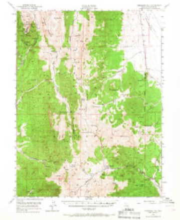
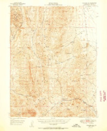
15 topographic sheets cover this place, the earliest surveyed in 1949 and the latest in 1990. It stands in the Lund census division. It lies near Bromide Flat. The Survey maps it on the Treasure Hill quadrangle. The federal gazetteer marks this settlement historical: it is no longer a populated place, though the surveys that recorded it still are.
Topographic sheets covering this place
7 surveys from 15 printed sheetsMatched by testing this settlement's coordinate against the published boundary of every sheet in the United States Geological Survey's historical collection. Each opens the scanned sheet at the Survey.
- 1949 USGS Treasure Hill quadrangle1:62500, 2 printings
- 1950 USGS Treasure Hill quadrangle1:62500, 2 printings
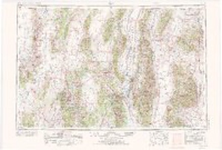
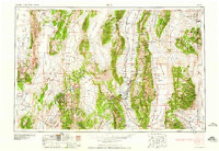
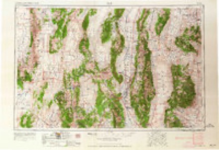
- 1956 USGS Ely quadrangle1:250000, 5 printings
- 1959 USGS Ely quadrangle1:250000, 2 printings
- 1963 USGS Ely quadrangle1:250000
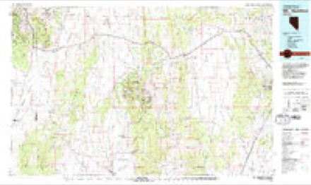
- 1979 USGS Mt. Hamilton quadrangle1:100000, 2 printings
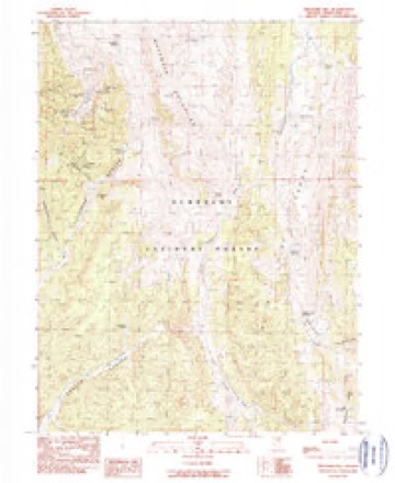
- 1990 USGS Treasure Hill quadrangle1:24000
Fires near this place
5 since 1993Regional context, not property-specific evidence. The federal wildfire occurrence database lists 5 fires within 5 miles of Treasure City (historical) between 1993 and 2013, burning about 2 acres in total. 5 started naturally. None was recorded as arson. Distance is straight-line from the map coordinates, so a fire counted here may appear on a neighbouring settlement's page as well.
| Reported cause | Fires |
|---|---|
| Natural | 5 |
The most recent of them, most recent first, with the day each was reported and the service that recorded it.
| Date | Cause | Size | Reported by | Name on the report |
|---|---|---|---|---|
| 9 August 1994 | Natural | under an acre | Humboldt-Toiyabe National Forest | not named |
| 4 August 2003 | Natural | under an acre | Humboldt-Toiyabe National Forest | SOLID |
| 4 August 1993 | Natural | under an acre | Humboldt-Toiyabe National Forest | not named |
| 18 August 2013 | Natural | under an acre | Humboldt-Toiyabe National Forest | SELIGMAN |
| 15 August 2011 | Natural | under an acre | Humboldt-Toiyabe National Forest | POGONIP |
Settlements close enough to share some of these fires:
Mines and quarries near this place
10 of 51 shownRegional context, not property-specific evidence. The federal mineral resources record lists 51 workings within 5 miles of Treasure City (historical): 22 past producers, 12 unknowns, 11 occurrences, 4 prospects. 2 still produce. What was taken out: Silver, Lead, Copper, Gold, Silver, Zinc, Lead, Silver. Distance is straight-line from the map coordinates, so a quarry counted here may appear on a neighbouring settlement's page as well.
| Where | Site | Commodity | Status | Recorded |
|---|---|---|---|---|
| Bull Terrier Patented Mines | Lead, Gold | Occurrence | Vein | |
| Dog Star Mine | Lead, Silver, Zinc, Gold, Copper | Past Producer | ||
| Fay Mine | Copper, Zinc, Silver, Lead | Past Producer | ||
| Grand Prize | Lead, Gold, Zinc, Silver, Copper | Past Producer | ||
| Great Valley | Lead, Silver, Copper, Zinc, Gold | Past Producer | ||
| Hamilton Range | Barium-Barite | Unknown | ||
| Hidden Treasure | Silver, Copper, Gold, Lead | Past Producer | ||
| Jennie A | Lead, Silver, Copper, Gold | Prospect | ||
| Mobile & Equality Patented Mine | Silver, Lead, Copper | Occurrence | ||
| Molybdenum Occurrence | Molybdenum | Unknown |
Newspapers printed here
6,238 digitised pages1 paper published in this town, digitised by the Library of Congress and free to read: 1,544 issues, 6,238 pages. Every page is searchable, so a name or a street can be looked for directly in what the town printed about itself at the time.
| Newspaper | Published |
|---|---|
| The White Pine News | 1868 to 1906 |
What the paper printed
5,264 wordsFront pages of the local paper, read from the Library of Congress scans: 3 issues spread across its run from 1869 to 1906, 5,264 words in total. Each is reproduced on its own page, exactly as the recogniser returned it.
These pages read less well than anything else here, and the number is worth stating: about three words in four come through cleanly, against nine in ten for the building records. An 1896 broadsheet sets eight-point type in seven columns on microfilm, which is the hardest thing in this archive to read by machine. We tested our own recognisers against the Library's and they were not better, so the Library's text is what appears, with the wholly unreadable columns removed. Read it as a guide to what the paper covered, and follow the link to the scan before quoting anything.
| Issue | Paper | Length |
|---|---|---|
| 1869-02-27 | The White Pine News | 1,787 words |
| 1870-07-21 | The White Pine News | 3,206 words |
| 1906-12-25 | The White Pine News | 271 words |
Nearest settlements
The eight closest, with where each one stands in the county. Distances are straight-line, computed from the Geographic Names Information System coordinates.
| Map | Place | Distance | Sheets |
|---|---|---|---|
| Picotillo (historical) | 0.4 miles | 15 | |
| White Pine City (historical) | 0.8 miles | 15 | |
| Pogonip | 0.9 miles | 15 | |
| Greenville (historical) | 1.2 miles | 15 | |
| Swansea (historical) | 1.2 miles | 15 | |
| Menken (historical) | 1.5 miles | 15 | |
| Hamilton | 1.6 miles | 15 | |
| Babylon (historical) | 2.1 miles | 15 |
Provenance
This settlement is recorded in the Geographic Names Information System as feature 862773. The sheet list is computed by point-in-boundary test against the United States Geological Survey's historical topographic inventory. Both are works of the United States government and carry no copyright under 17 U.S.C. 105.
Wildfire. Short, Karen C. 2022. Spatial wildfire occurrence data for the United States, 1992-2020 [FPA_FOD_20221014]. 6th Edition. Fort Collins, CO: Forest Service Research Data Archive. https://doi.org/10.2737/RDS-2013-0009.6 Collected with United States Government funding and usable without additional permissions or fees.
Mines and quarries. USGS Mineral Resources Data System (MRDS) https://mrdata.usgs.gov/mrds/ A work of the United States government, no copyright under 17 U.S.C. 105.