 Block
From the record
21 National Register listings published here, 3 of them National Historic Landmarks.
Sources: the National Register database, National Park Service
160 topographic sheets and 4 fire insurance atlases across 1 place.
21 National Register listings published here, 3 of them National Historic Landmarks.
Sources: the National Register database, National Park Service
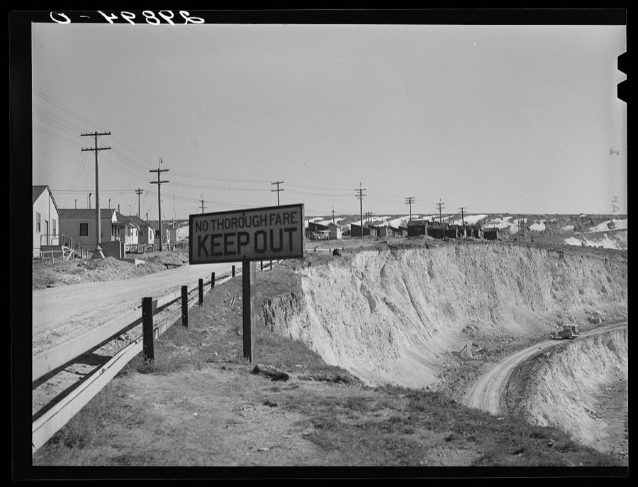
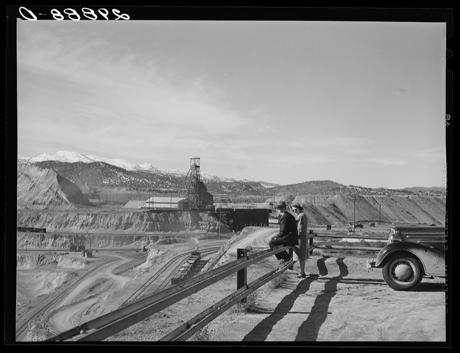
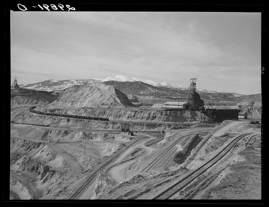
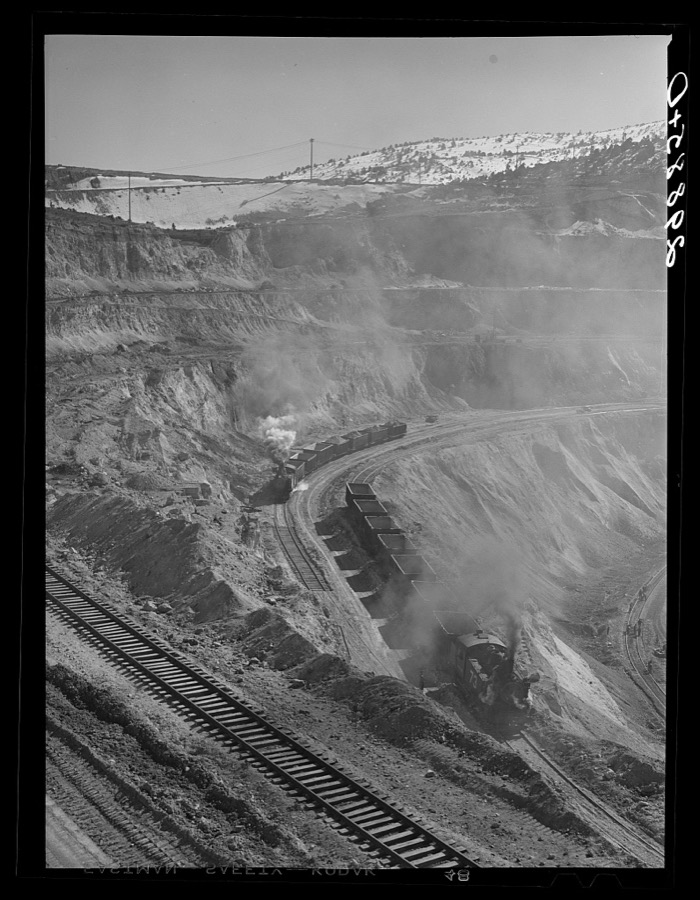
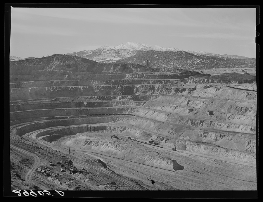
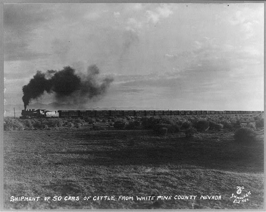
Taken for the Office of War Information and the Farm Security Administration, who photographed the country between 1935 and 1944. Works of United States government photographers, with no known restriction on use. Each opens its catalogue record.
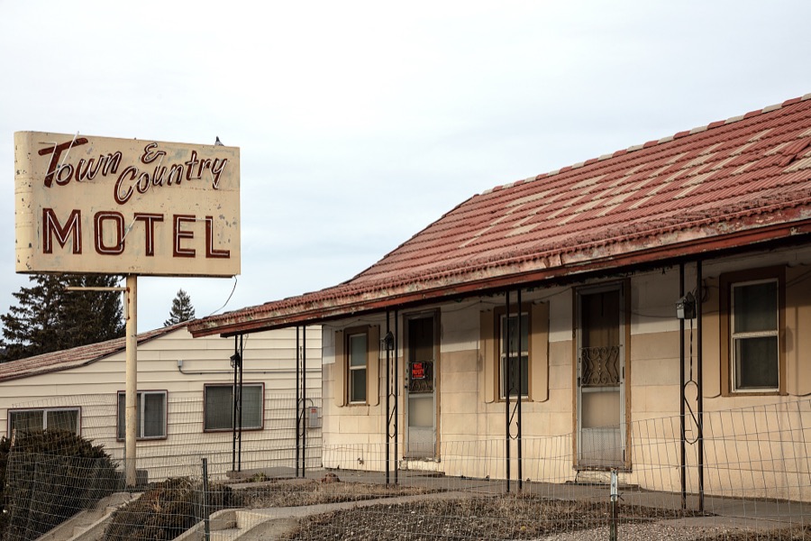
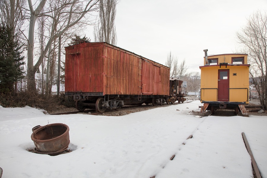
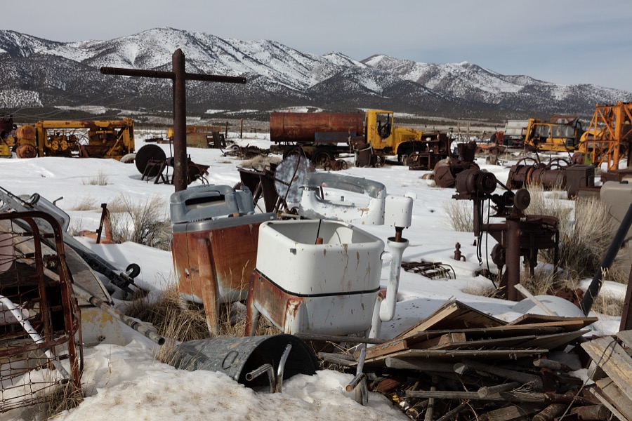
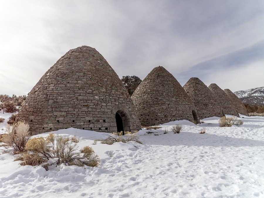
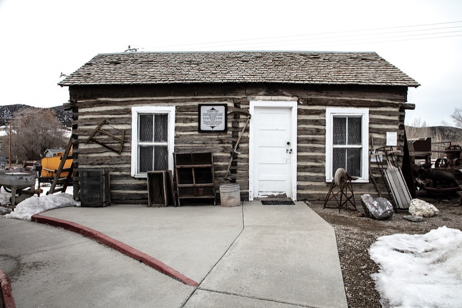
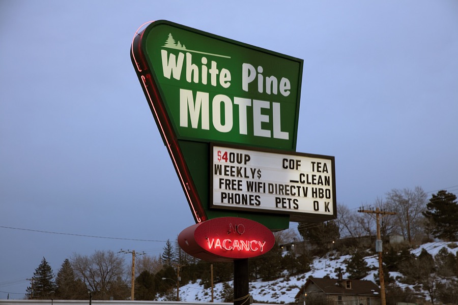
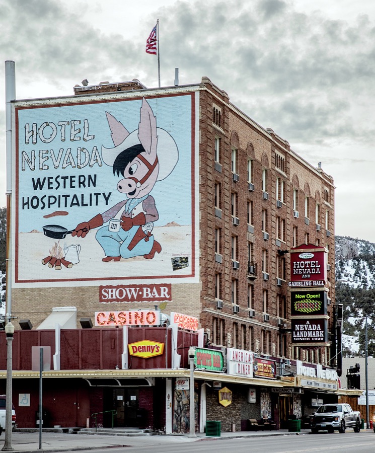
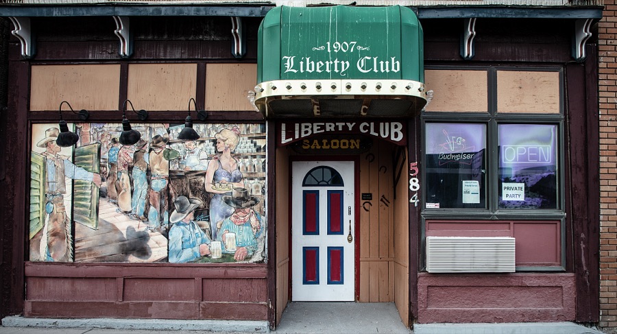
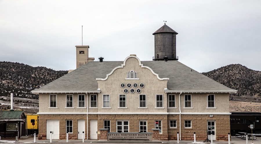
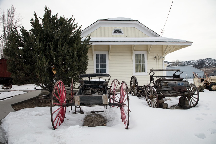
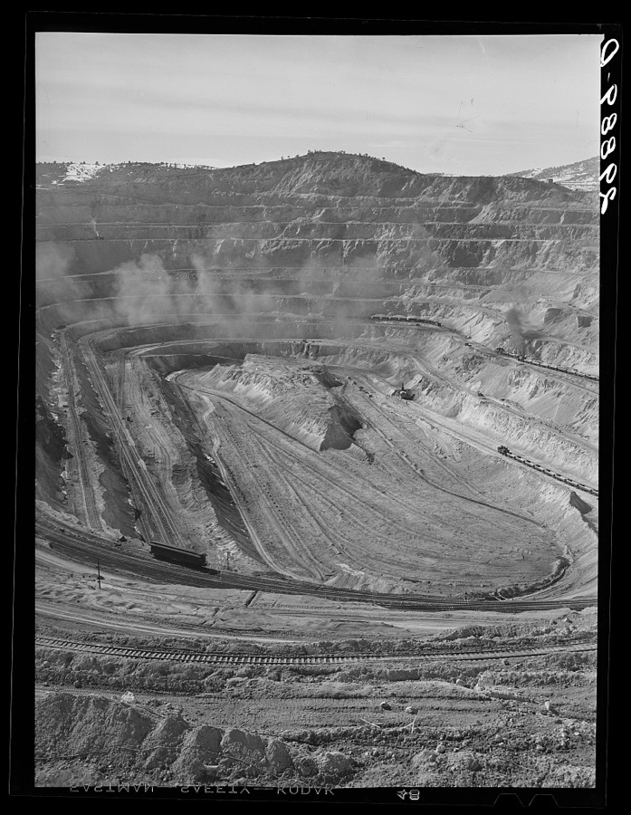
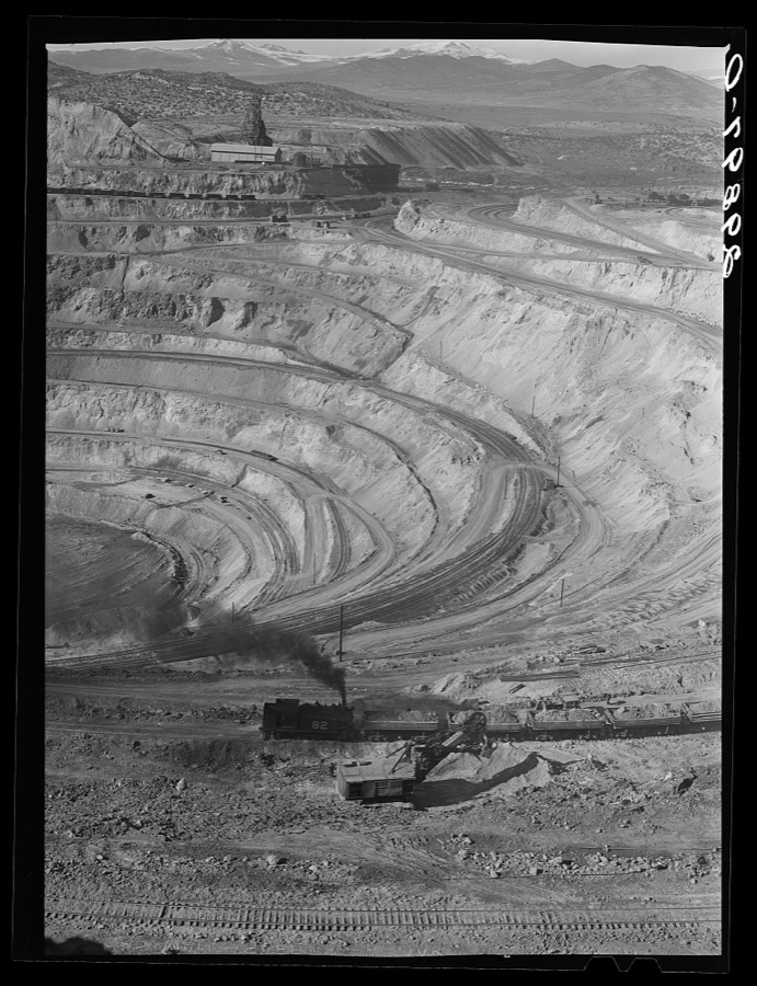
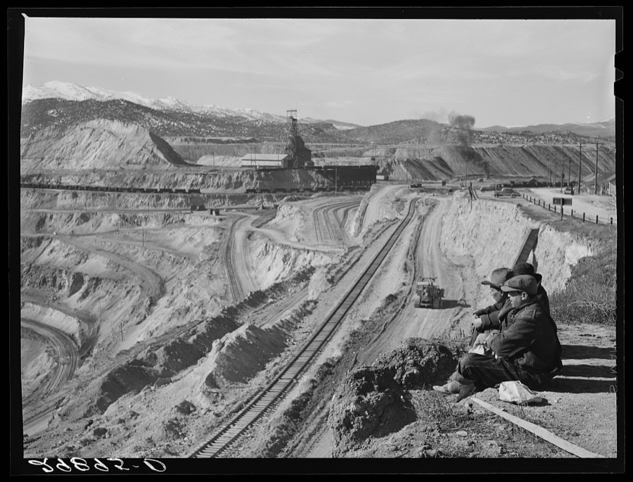
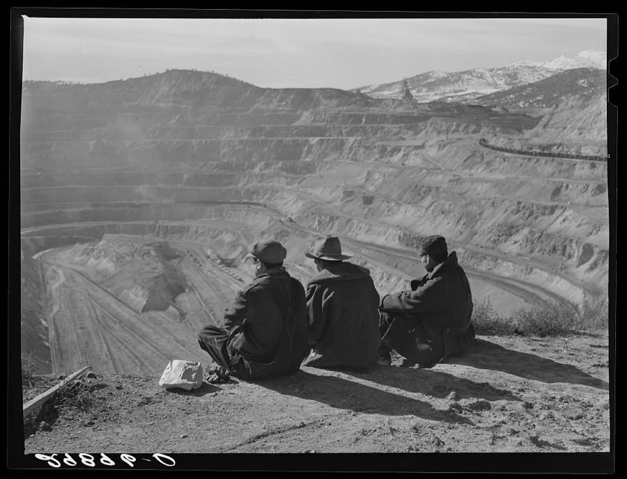
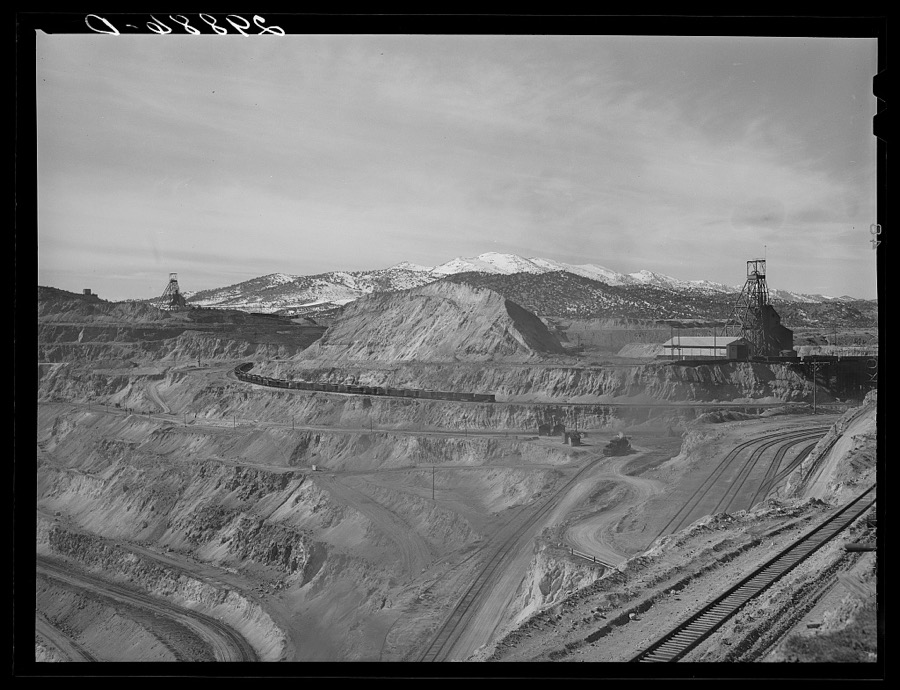
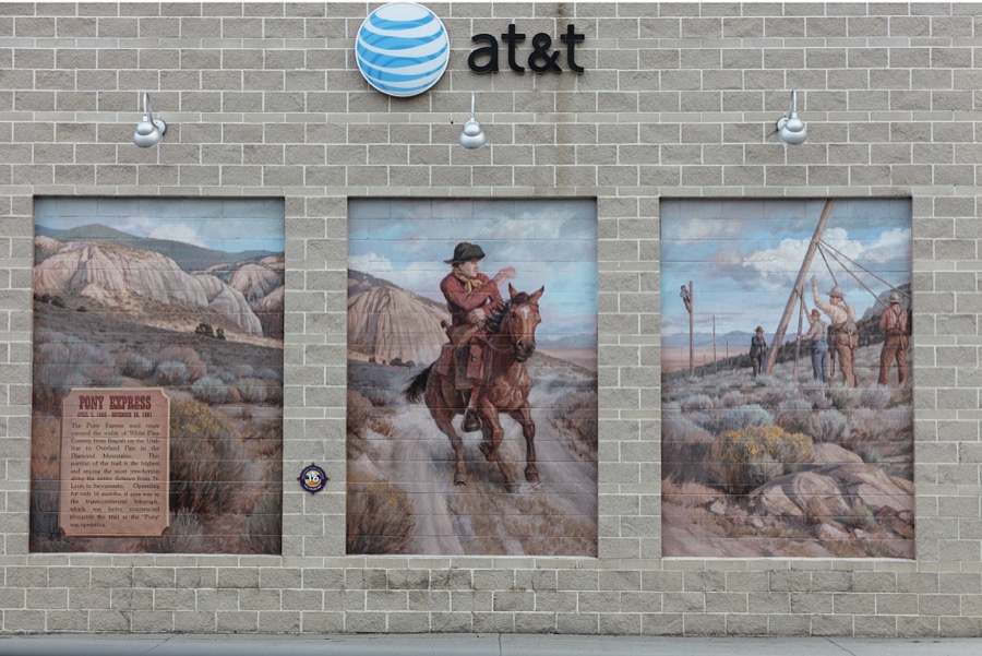
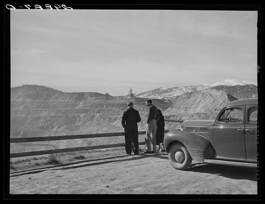
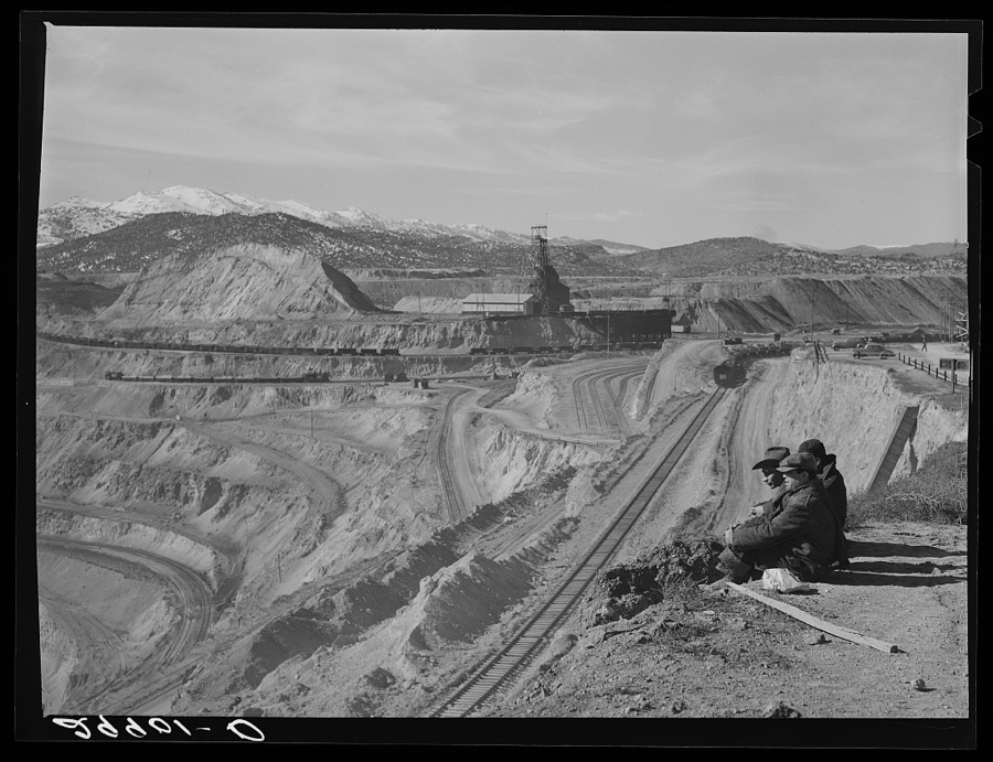
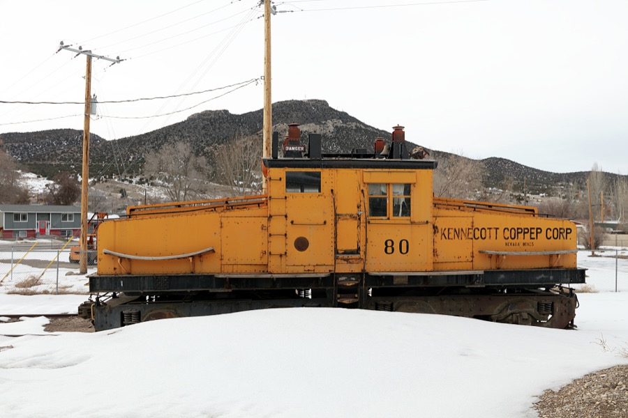
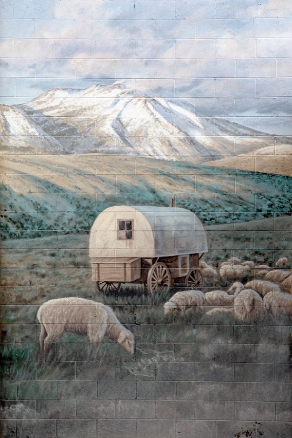
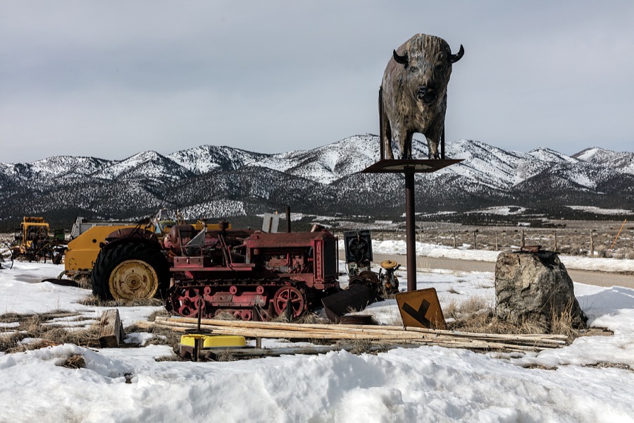
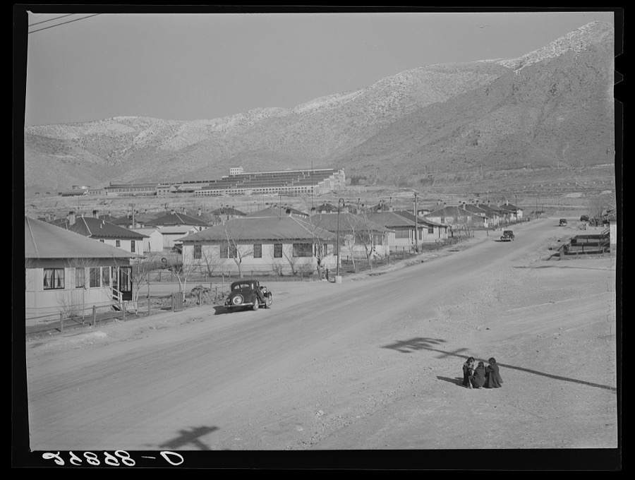
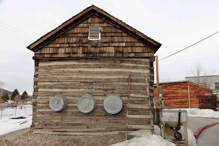
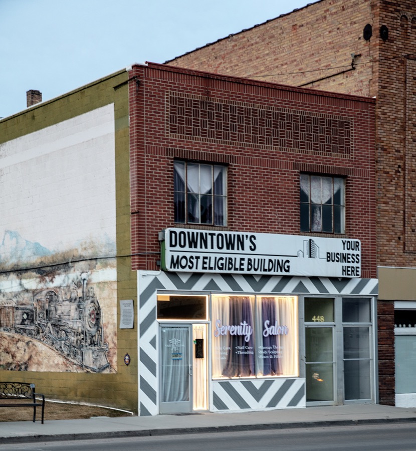
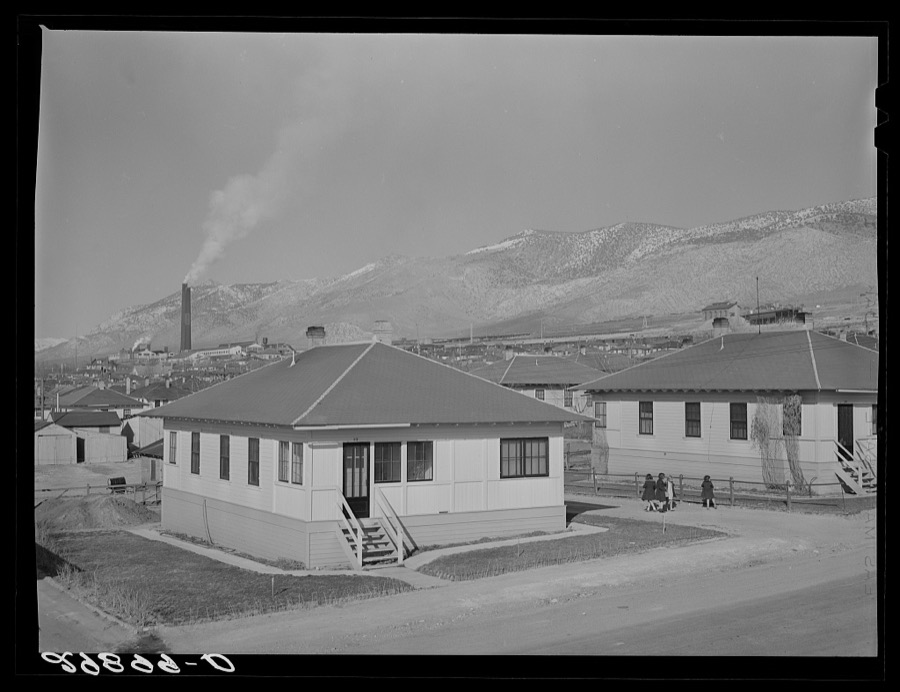
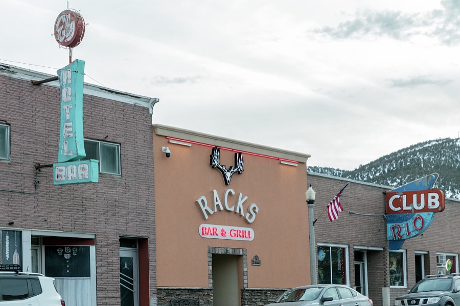
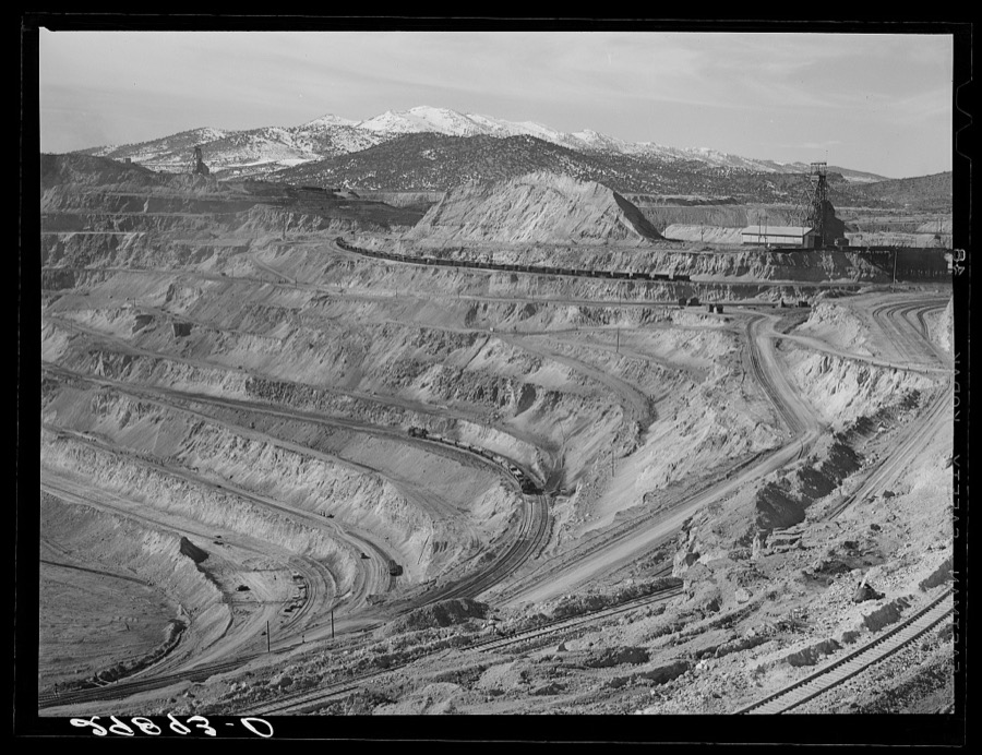
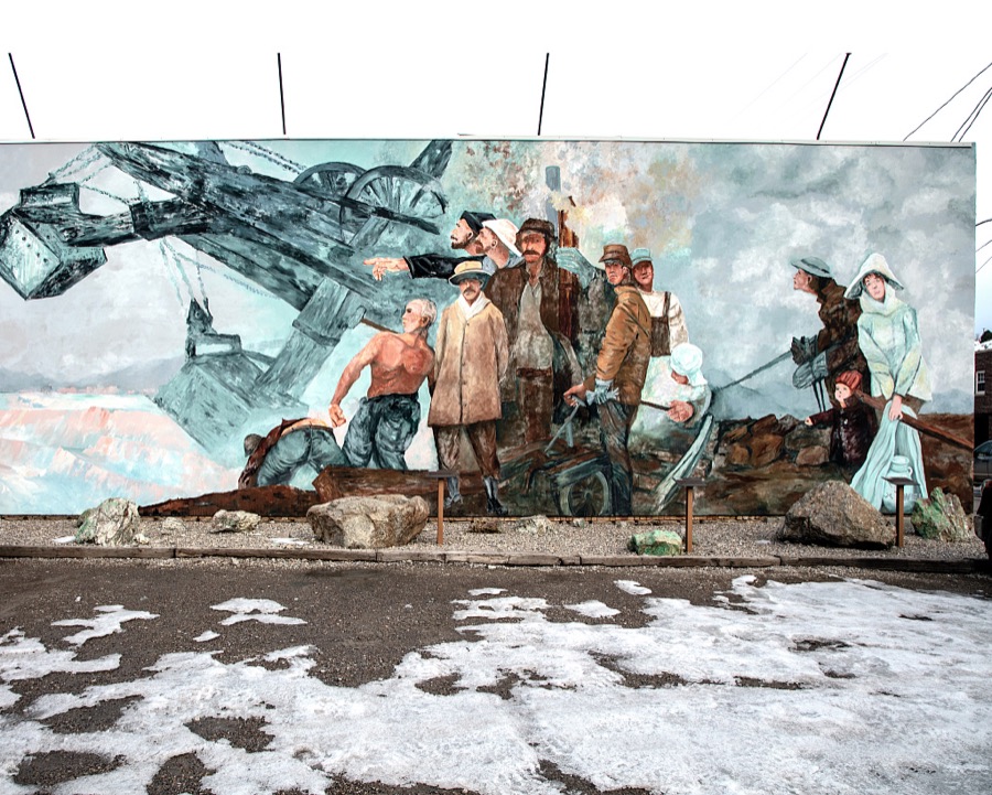
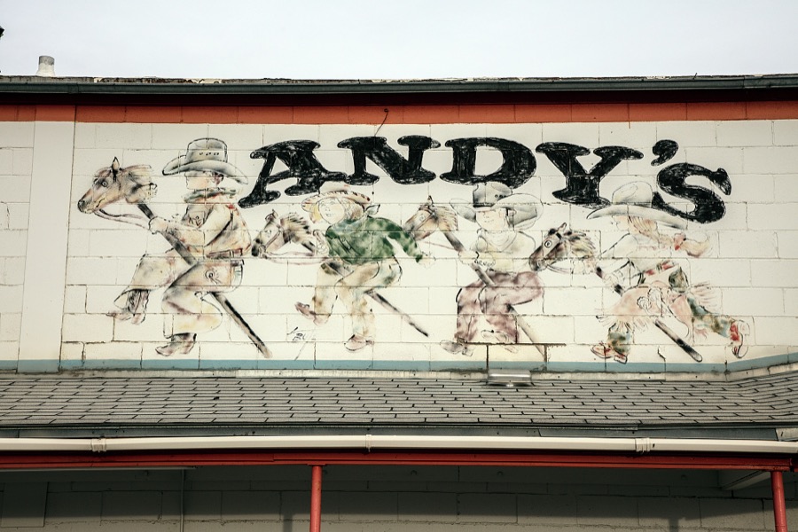
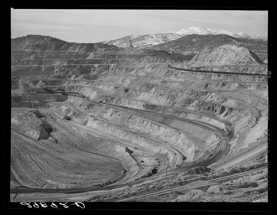
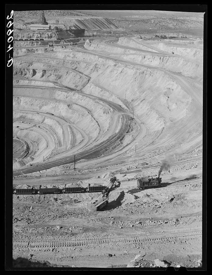
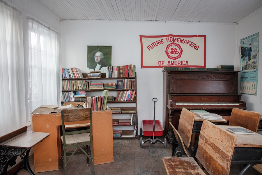
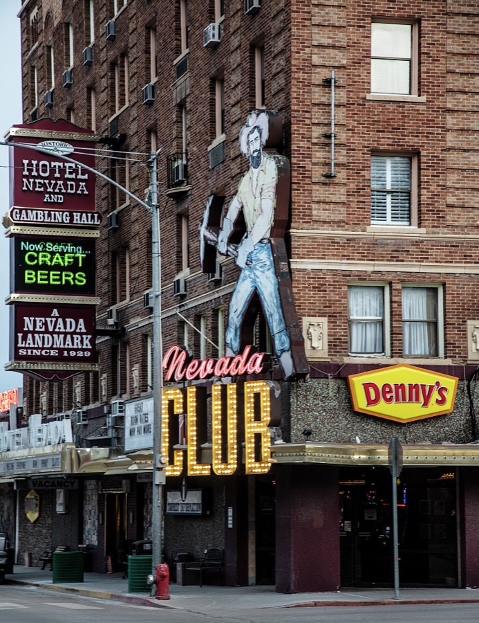
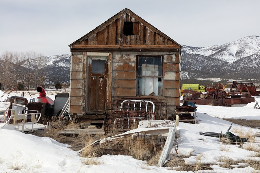
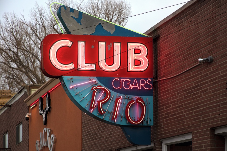
Every property in this county listed on the National Register of Historic Places, with the year it was listed and the federal nomination document.
| Photograph | Property | Type | Listed | Reference |
|---|---|---|---|---|
 | American Legion Hall | building | 1994 | 94001404 |
 | Baker Ranger Station | building | 1995 | 95001224 |
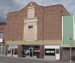 | Capital Theater | building | 1993 | 93000692 |
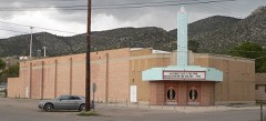 | Central Theater | building | 1993 | 93000691 |
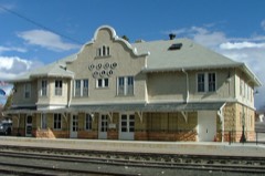 | East Ely Depot | building | 1984 | 84002082 |
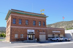 | Ely City Hall and Fire Station | building | 2018 | 100002071 |
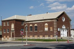 | Ely L. D. S. Stake Tabernacle | building | 1993 | 93000685 |
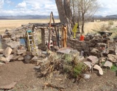 | Fort Ruby | building | 1966 | 66000460 |
| Fort Schellbourne | site | 1972 | 72000768 | |
| Fort Schellbourne (Boundary Increase) | site | 1977 | 77001544 | |
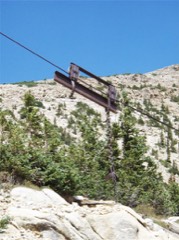 | Johnson Lake Mine Historic District | district | 1995 | 95001225 |
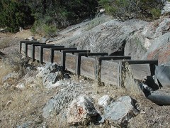 | Lehman Orchard and Aqueduct | district | 1975 | 75000181 |
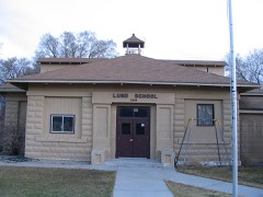 | Lund Grade School | building | 2018 | 100003200 |
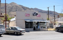 | McGill Drug Store | building | 1998 | 97001301 |
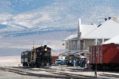 | NNRy Locomotive #40 | structure | 1993 | 93000693 |
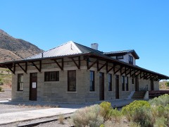 | Nevada Northern Railway-McGill Depot | building | 2015 | 15000010 |
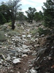 | Osceola (East) Ditch | structure | 1996 | 96000584 |
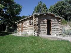 | Rhodes Cabin | building | 1975 | 75000180 |
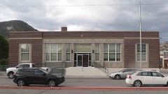 | US Post Office, Ely, Nevada | building | 2005 | 05001122 |
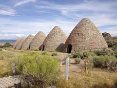 | Ward Charcoal Ovens | structure | 1971 | 71000491 |
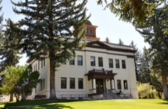 | White Pine County Courthouse | building | 1986 | 86001958 |
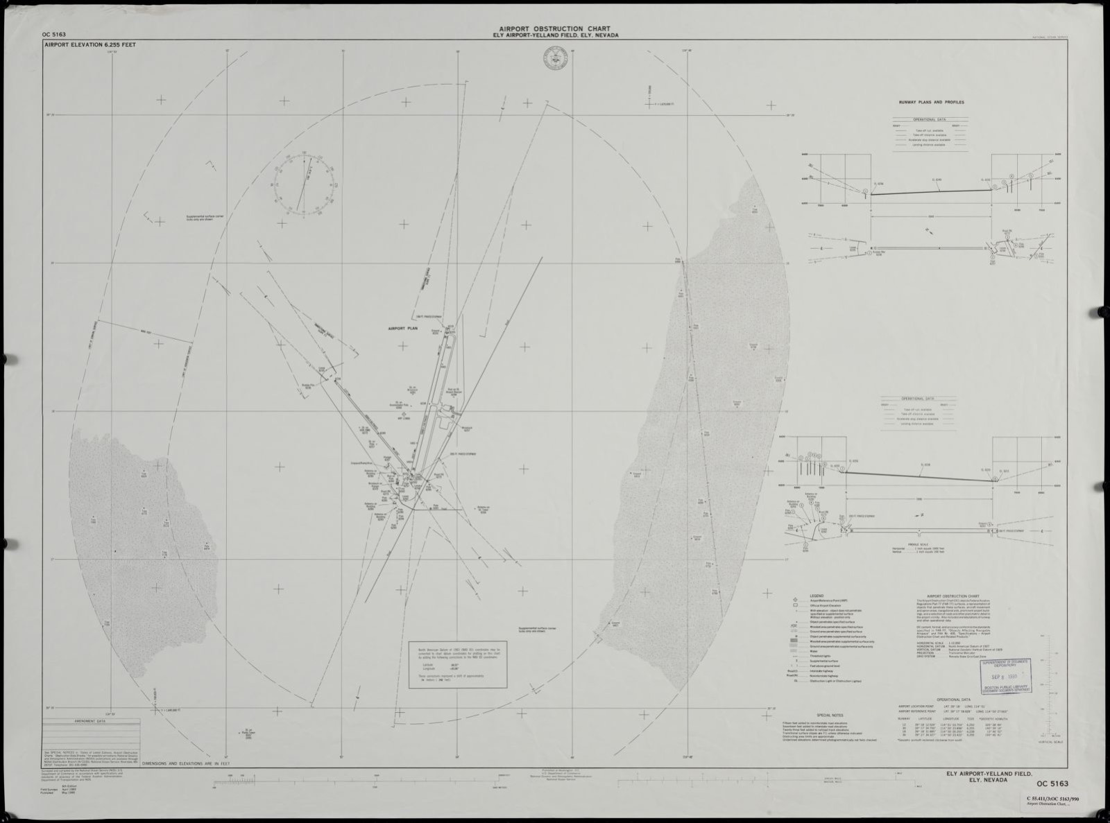
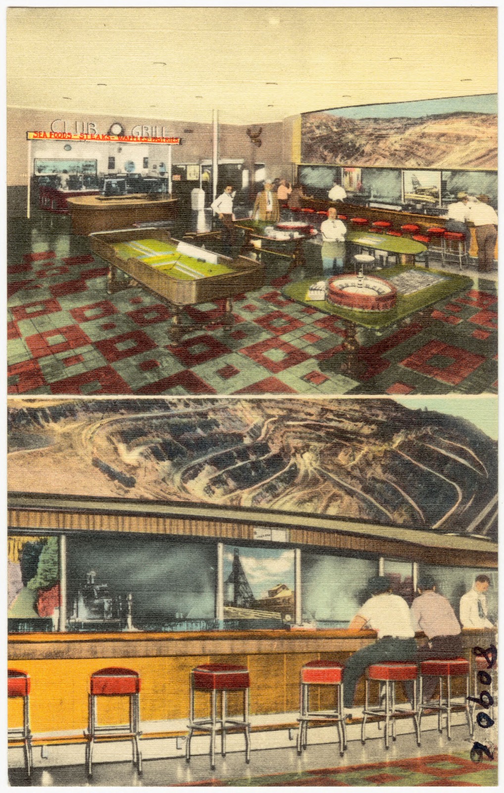
Selected from the Digital Public Library of America's 2 image records catalogued for this county. Every one shown here carries a public-domain status or a licence that permits reuse on a site that carries advertising; non-commercial, share-alike and restricted images are excluded. The selection is spread across the county's towns (at most eight per town), so no single institution's bulk upload crowds out the rest. Each opens the holding library's record, and the complete set at the Digital Public Library of America is one click away.
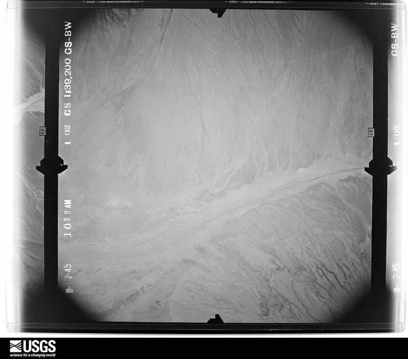
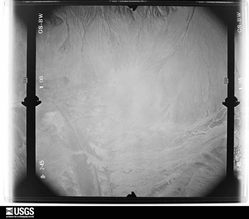
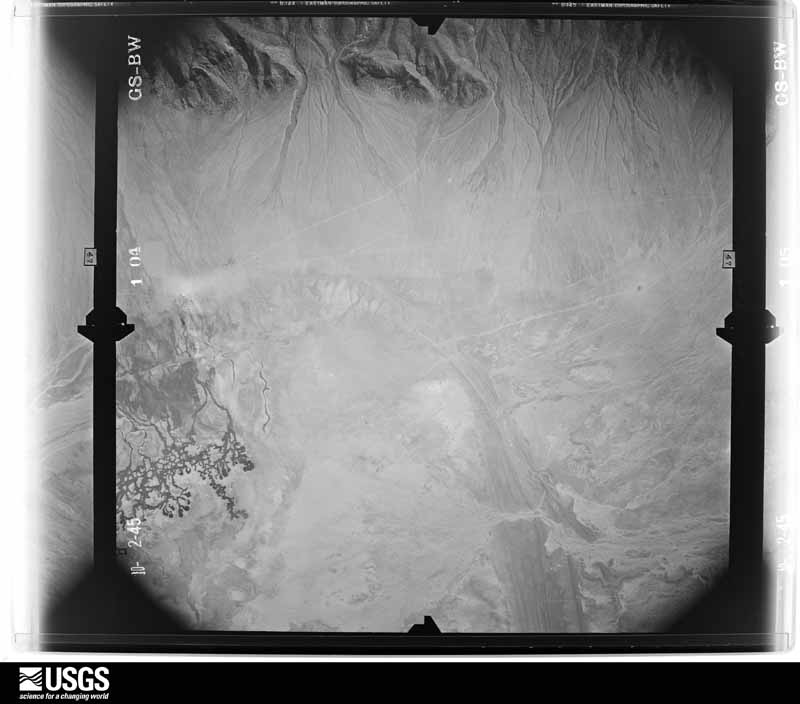
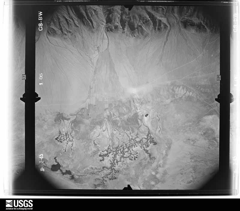
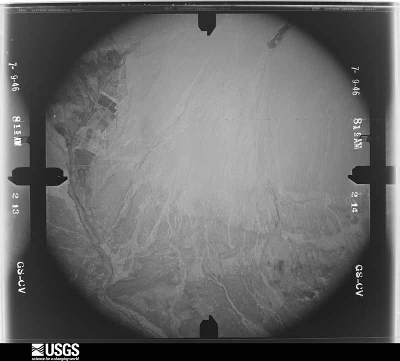
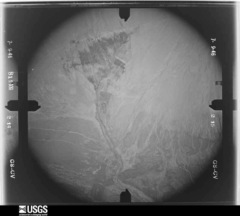
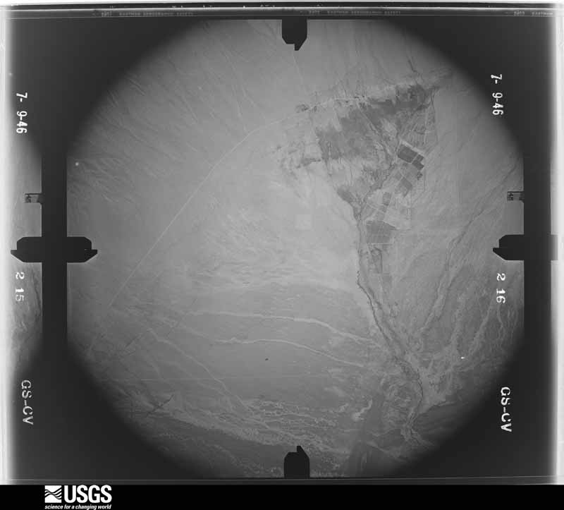
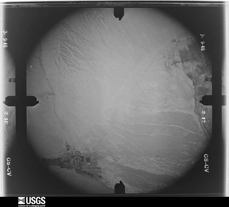
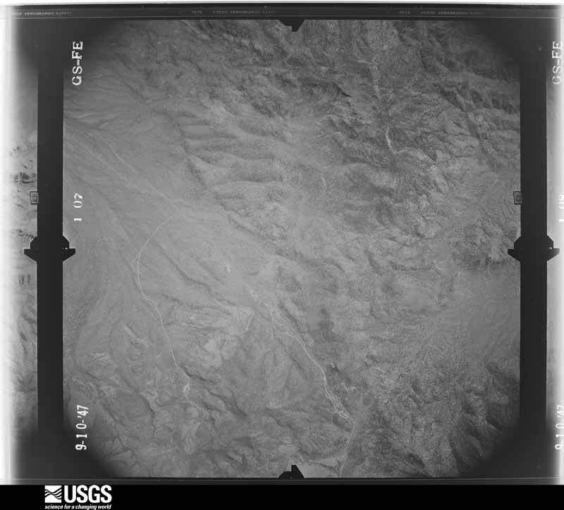
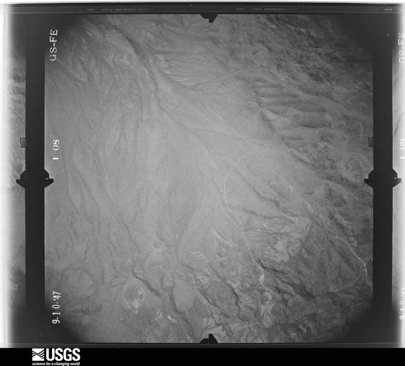
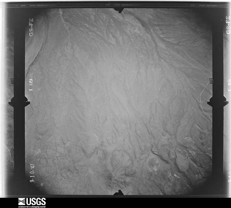
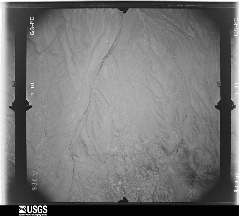
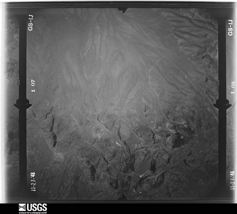
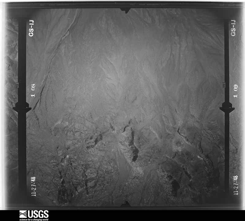
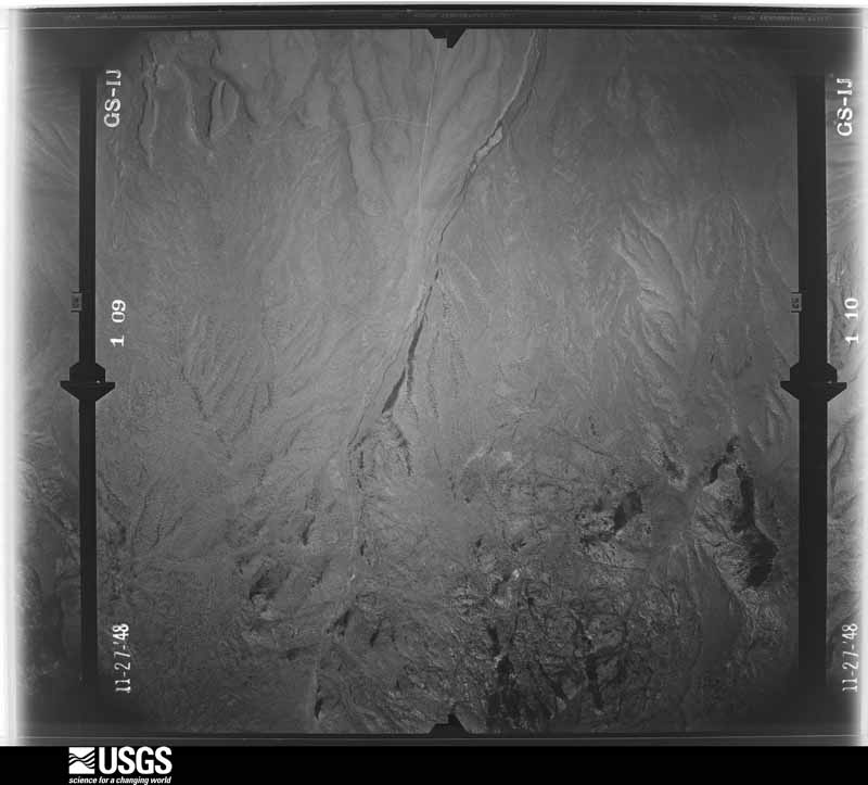
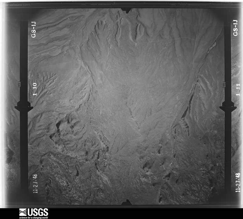
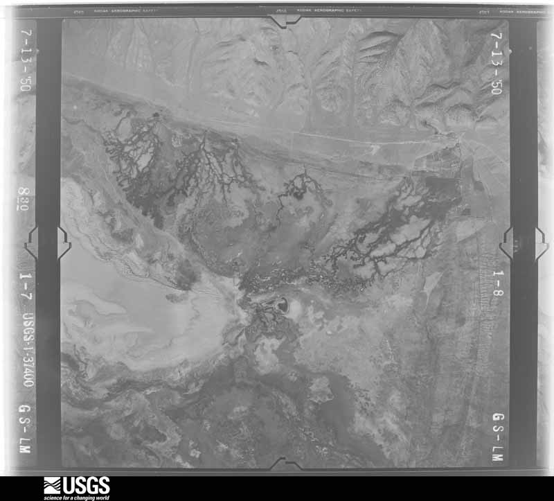
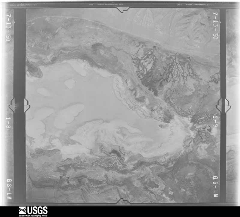
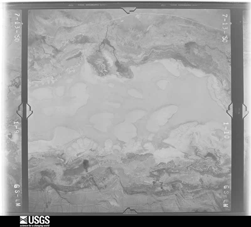
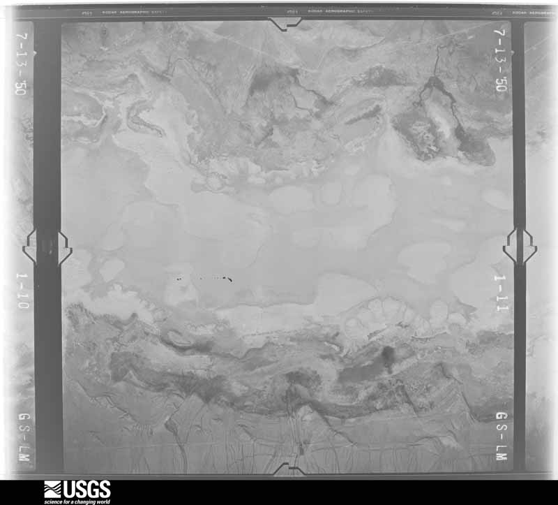
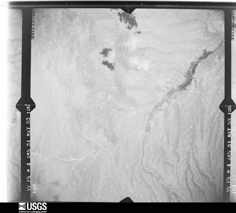
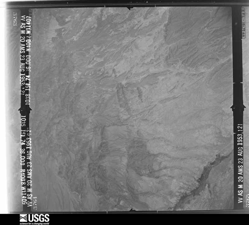
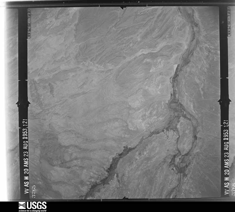
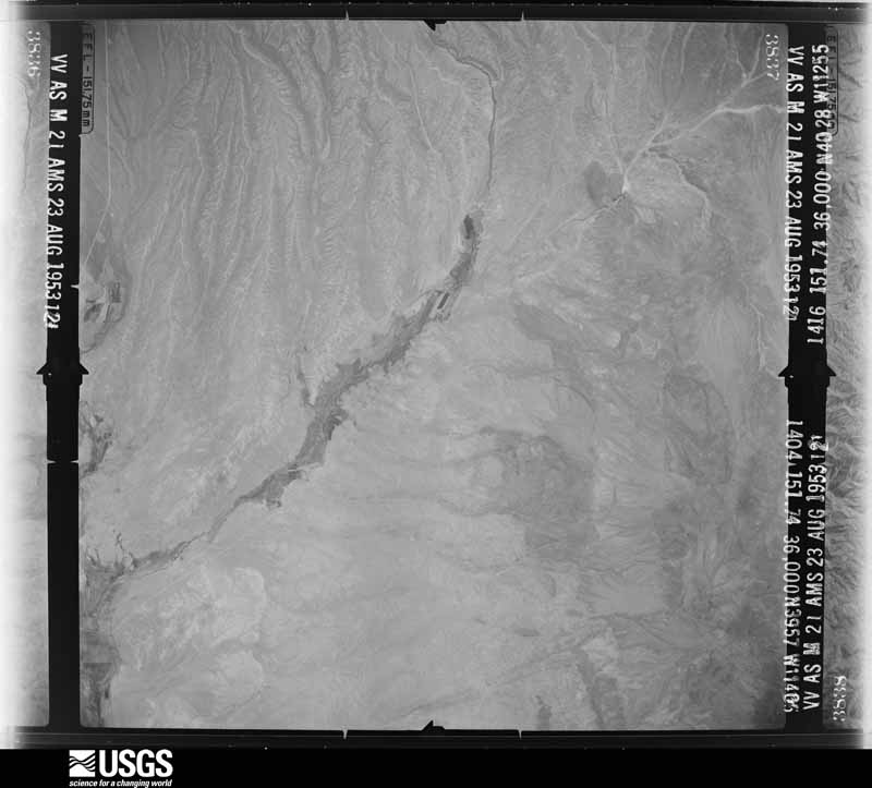
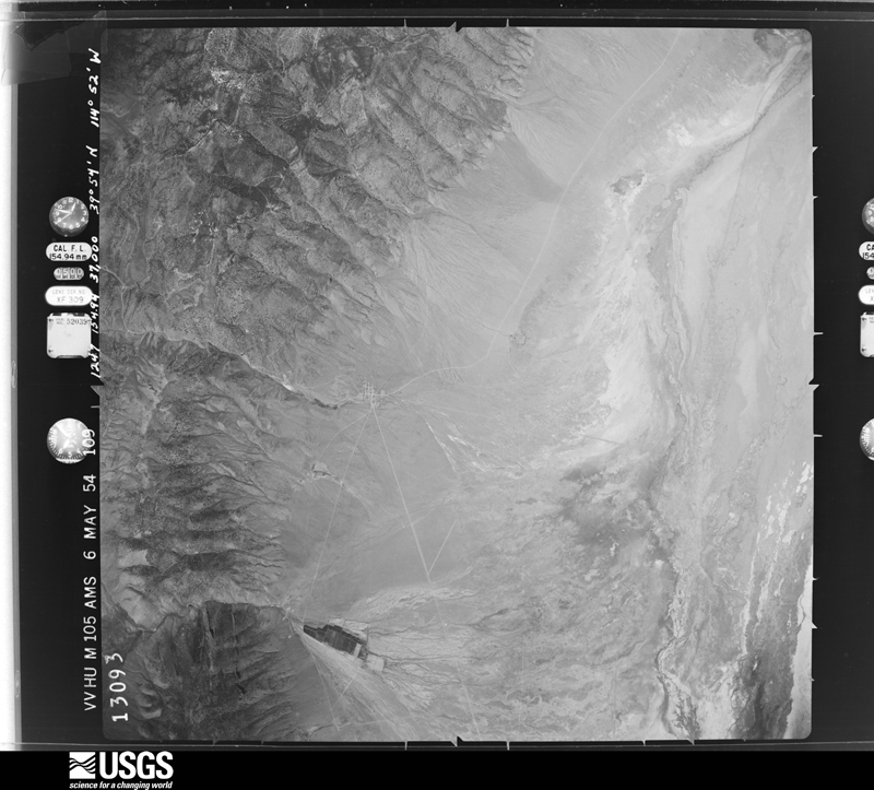
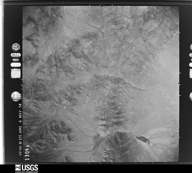
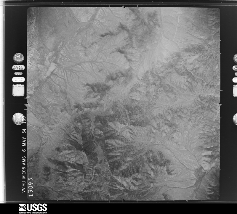
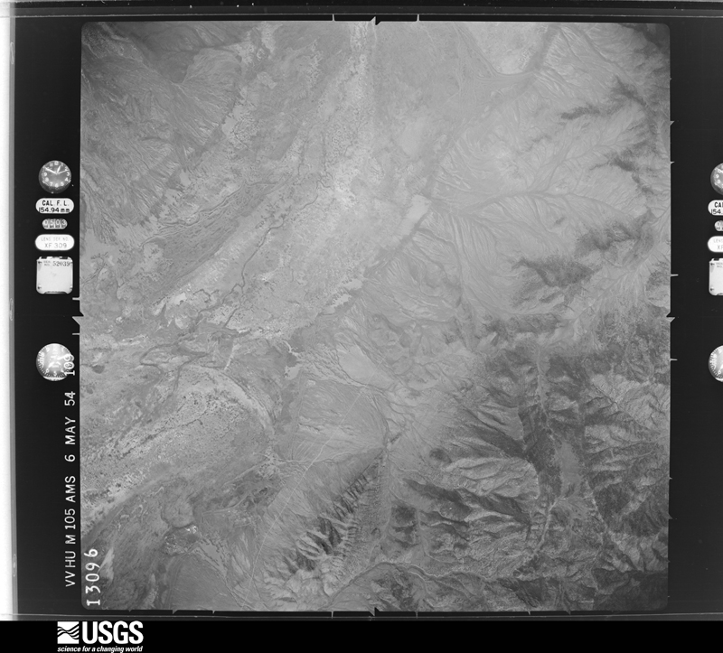
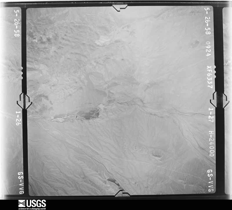
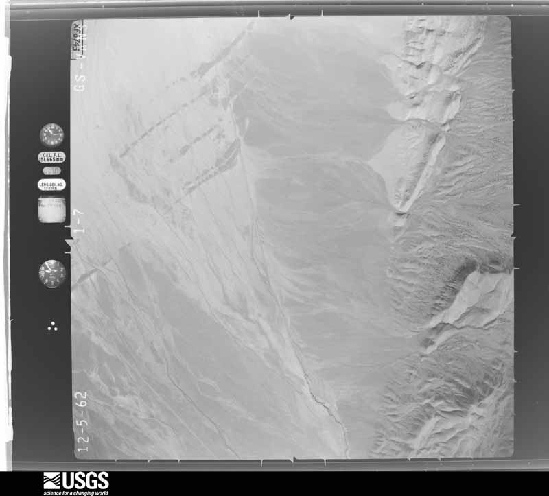
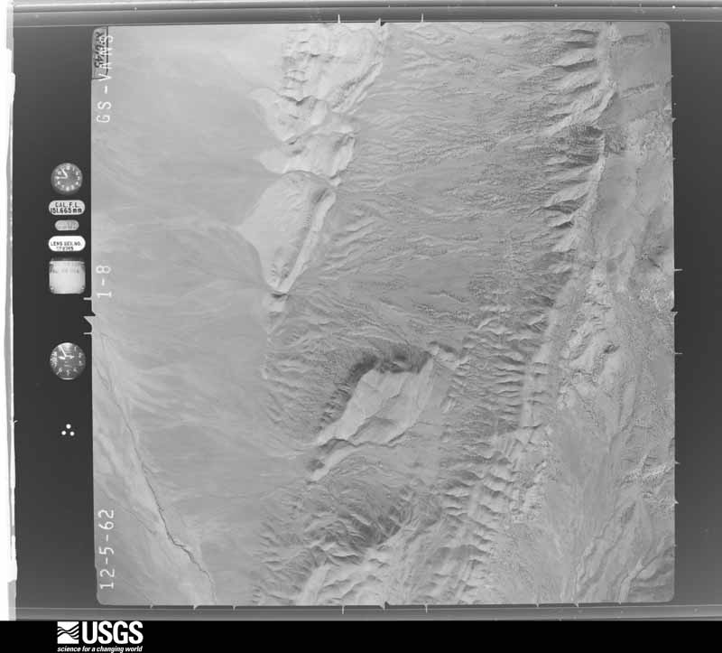
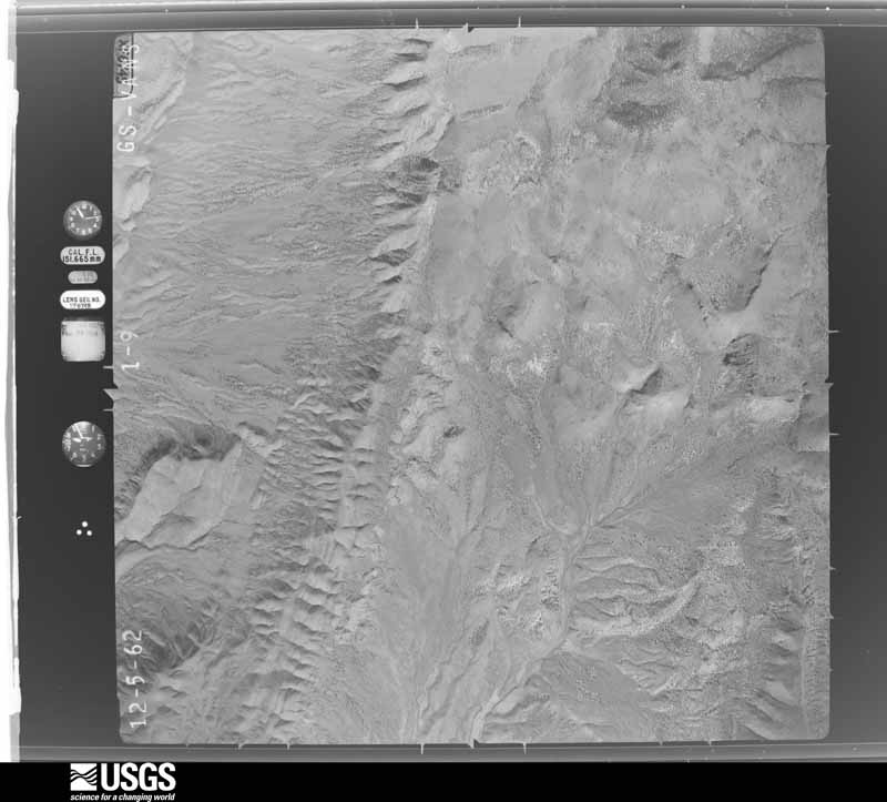
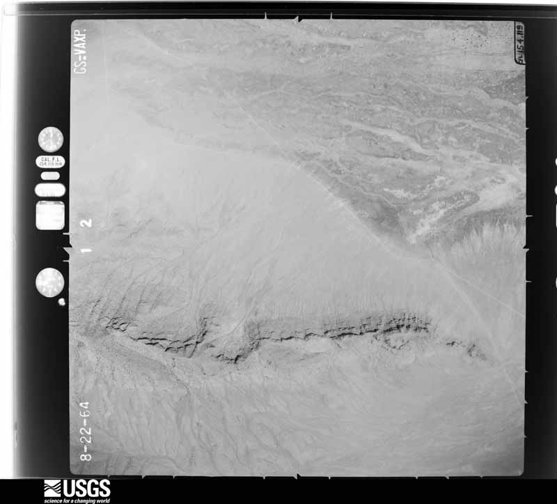
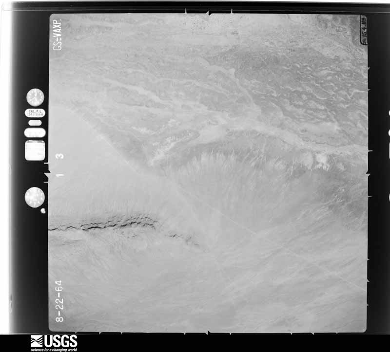
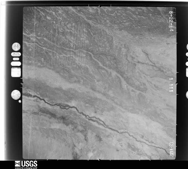
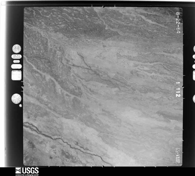
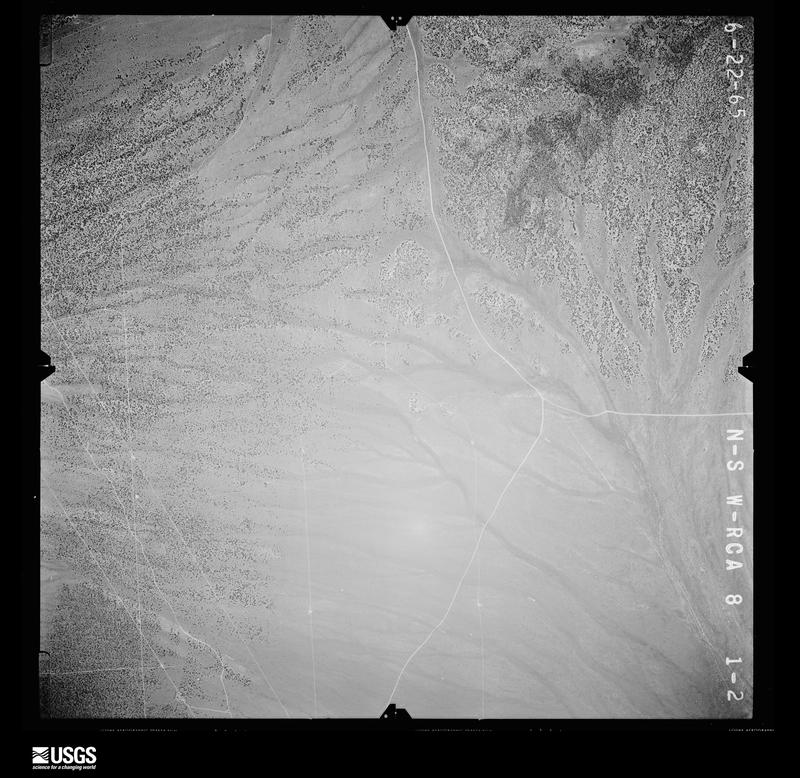
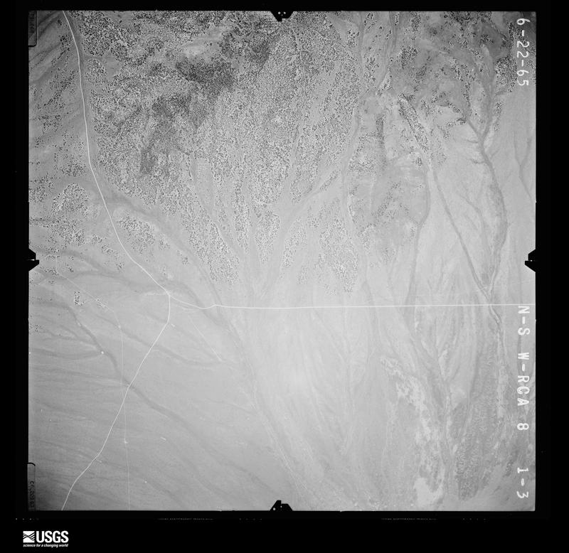
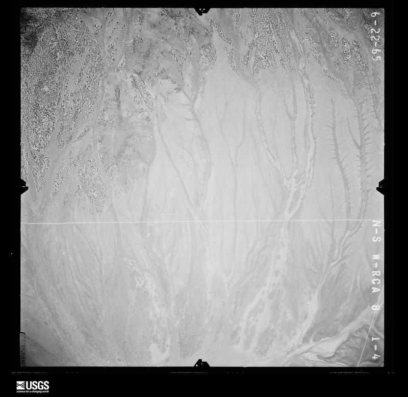
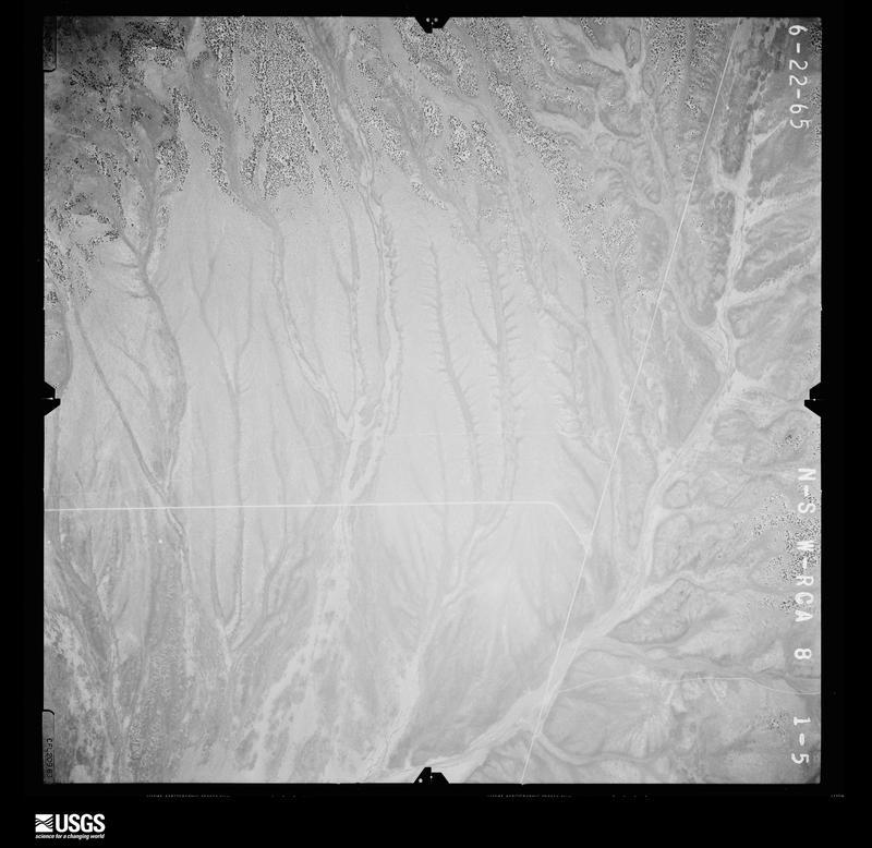
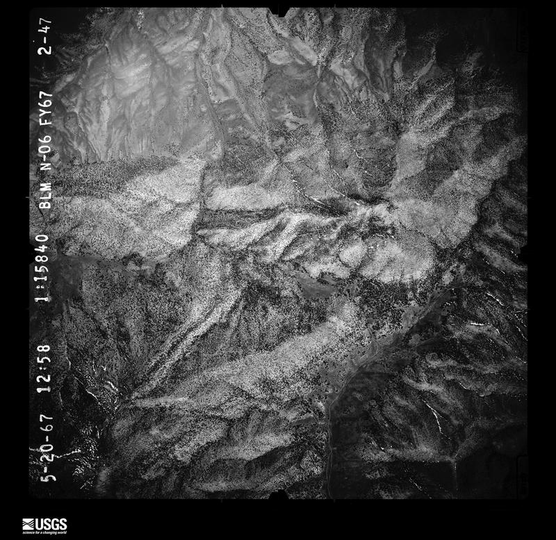
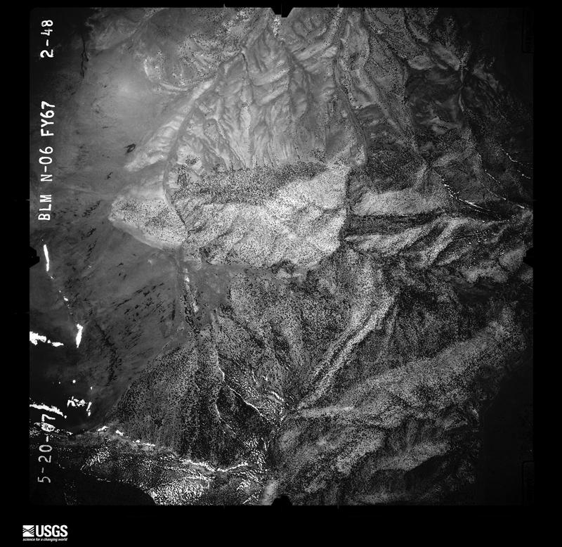
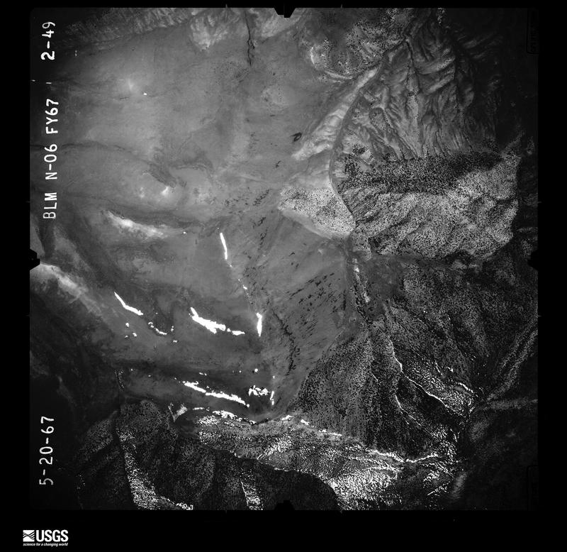
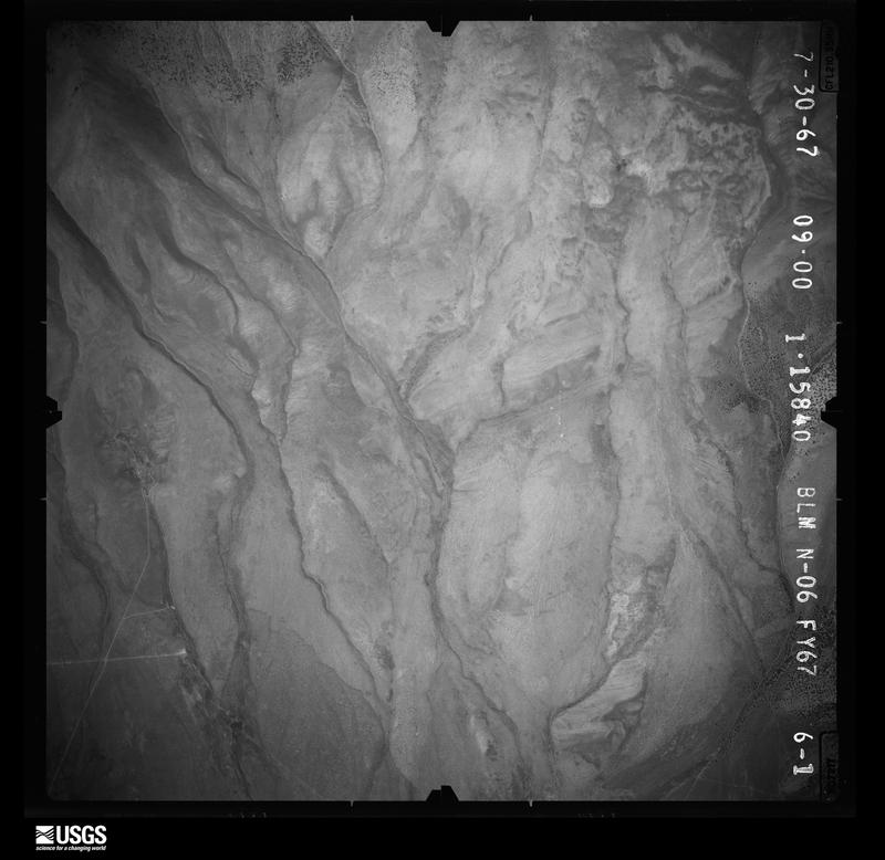
Flown by the U.S. Geological Survey between 1937 and 1989, the Aerial Photo Single Frames collection is the definitive mid-century view of the land: fields, roads and rivers as the camera saw them. The Survey holds 17,784 frames inside the rectangle that bounds this county; the 48 frames below were taken over the county itself, chosen across the decades of flights (at most four a year from that rectangle), so one flight cannot crowd out the rest. The full set is free to browse and download at EarthExplorer under the dataset Aerial Photo Single Frames.
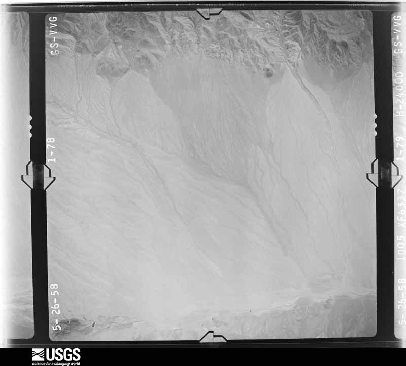
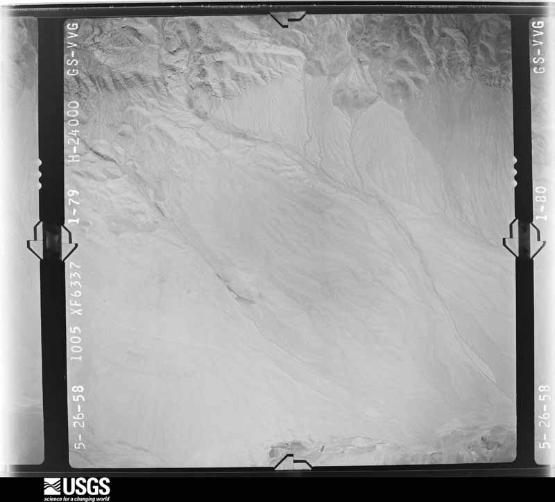
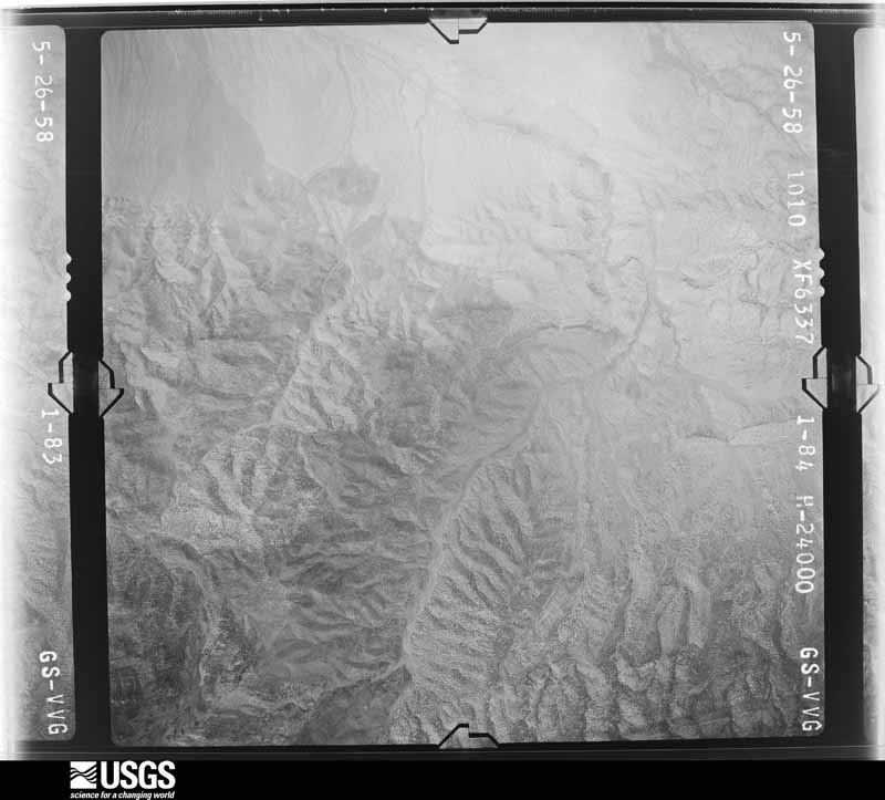
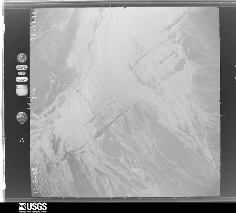
The thermometers that kept this county's weather, and the gages that measured the flow of its streams, as the federal records hold them. The extremes below are measured values from those records, not estimates.
Who lived here in 1950, one enumeration district at a time, as the Census Bureau described each district. Each row opens its official National Archives result, with Population Schedules and ED Maps available there.
Every wildfire the federal occurrence database records inside this county: 2,007 of them, burning about 218,044 acres. 1,708 started naturally and 17 were recorded as arson. Each settlement page carries the fires within five miles of it.
| Reported cause | Fires |
|---|---|
| Natural | 1708 |
| Missing data/not specified/undetermined | 163 |
| Recreation and ceremony | 53 |
| Equipment and vehicle use | 34 |
| Arson/incendiarism | 17 |
| Debris and open burning | 10 |
| Railroad operations and maintenance | 7 |
| Fireworks | 5 |
| Power generation/transmission/distribution | 3 |
| Smoking | 3 |
| Misuse of fire by a minor | 2 |
| Firearms and explosives use | 1 |
| Other causes | 1 |
The five largest, by the area the report gives. None of them was recorded as arson.
| Date | Cause | Size | Reported by | Name on the report |
|---|---|---|---|---|
| 13 August 2018 | Natural | 32,215 acres | Ely District Office | GOSHUTE CAVE |
| 16 July 2014 | Natural | 12,550 acres | Humboldt-Toiyabe National Forest | HAMPTON |
| 17 June 2012 | Natural | 12,046 acres | Humboldt-Toiyabe National Forest | NORTH SCHELL |
| 2 July 2014 | Missing data/not specified/undetermined | 9,100 acres | Ely District Office | LAGES |
| 11 July 2000 | Natural | 8,401 acres | Ely District Office | CHERRY |
| 24 June 2020 | Missing data/not specified/undetermined | 8,268 acres | Ely District Office | BROWN |
| 8 August 2016 | Natural | 7,695 acres | Ely District Office | OVERLAND |
| 30 June 2012 | Equipment and vehicle use | 7,238 acres | Ely District Office | EGAN |
Every settlement page carries the fires within five miles of it - see the settlement index below.
The NOAA Storm Events Database holds 96 reports for this county, causing no deaths, 1 injury and about $44,100 in recorded property damage. Each settlement page carries the reports that name it.
| Kind of event | Reports |
|---|---|
| Thunderstorm Wind | 43 |
| Flash Flood | 22 |
| Tornado | 9 |
| Hail | 9 |
| Funnel Cloud | 4 |
| Debris Flow | 3 |
| Flood | 3 |
| Heavy Rain | 2 |
| High Wind | 1 |
The most serious of them, by death, then injury, then recorded damage. The accounts are quoted exactly as the forecast office filed them.
| When | Event | Place named | Harm | What the report says |
|---|---|---|---|---|
| May 1964 | Tornado | not stated | 1 hurt, $25,000 | no account filed |
| August 2015 | Flash Flood | Baker Arpt | $5,000 | Nevada Department of Wildlife Spring Creek rearing station reported a loss of 1500 head of fish at the hatchery from flash flooding runoff of Snake Creek due to heavy rain. Recorded rain measurement of 1.35 inches in 2 hours from a nearby observer. Nearby roads were also flooded. |
| September 2014 | Flash Flood | Preston | $2,000 | Water and debris from flash flooding flowed across US Highway 6. Debris came down from an old burn scar. A rain gauge in the vicinity recorded 1.11 inches of rain. Damages are estimated. |
| August 2014 | Flash Flood | Warm Spgs | $2,000 | Thunderstorms produced flash flooding on State Route 893 at mile marker 40. Lots of debris was washed onto the roadway. Damages estimated. |
| August 2014 | Debris Flow | Baker | $2,000 | A large debris flow occurred on the Hampton fire burn scar with debris flowing 4 miles into the valley below the fire burn area. A mesonet site about 5 miles away reported 0.90 inches of rain in 80 minutes. A private residence was impacted by the debris flow. Damages are estimated. |
| August 2014 | Flash Flood | Lages Station | $2,000 | Thunderstorms with heavy rain caused flash flooding on alternate State Route 93 near Lages Station. A 2 mile section of the highway was flooded and a car was washed off the road. Partial washouts on dirt roads in the area were observed. Damages are estimated. |
| August 2023 | Debris Flow | Preston | $1,100 | NVDOT reported a rockslide blocking the westbound lane on US-6, near NF-607. Heavy precipitation from Tropical Storm Hilary preceded the rockslide. Many sites reported 1-3 inches of rainfall with this event. Cattle Camp Raws, located 23 miles east of the rockslide, measured 2.17 inches of rain. |
| August 2014 | Flash Flood | Kimberly | $1,000 | Flash flooding was reported on Duckwater Road in White Pine county near Pogues station.|Damages estimated. |
| September 2014 | Flash Flood | Osceola | $1,000 | Ten inches of water was observed flowing over US Highway 6 near Sacramento Pass. Damages estimated. |
| August 2014 | Flash Flood | Lages Station | $1,000 | Water ran across State Highway 93 near Lages Station. Debris was observed in the middle of the roadway. Multiple areas of flooding was also observed near the Station as well as the slopes of the burn scar. Damages estimated. |
| August 2013 | Flash Flood | Kimberly | $1,000 | Emergency manager and Duckwater Health Department reported flash flooding along White Pine County Road north of town through the Pancake mountain range which caused a significant washout in the road. |
| August 2014 | Flash Flood | Steptoe | $500 | Thunderstorms produced flash flooding that washed debris over State Route 892 between mile marker 24 and 26 in the Newark Valley. Damages estimated. |
| August 2012 | Flash Flood | Ely | $500 | no account filed |
| March 2024 | Thunderstorm Wind | Uvada | - | Station (CEDN2) Cedar Pass Raws, Elevation 7314 feet. |
| July 2024 | Thunderstorm Wind | Steptoe | - | Station (ALLN2) Alligator Ridge, Elevation 6675 ft. |
| August 2024 | Thunderstorm Wind | Baker | - | Station (MTHN2) Mather, Elevation 9268 ft. |
| July 2023 | Thunderstorm Wind | Shoshone | - | Station (DNEP2) 3.1 E Shoshone dri, Elevation 7225 feet. |
| July 2023 | Thunderstorm Wind | Shoshone | - | Station (DNEP2) 3.1 E Shoshone (dri) Elevation 7225 feet. |
| June 2023 | Thunderstorm Wind | Baker | - | Station (MTHN2) Mather Raws, Elevation 9268 feet. |
| June 2023 | Thunderstorm Wind | Baker | - | Station (MTHN2) Mather Raws, Elevation 9268 feet. |
| March 2023 | Flood | Warm Spgs | - | Warm temperatures, rainfall, and snowmelt caused flooding of of Monte Neva Road near McGill, causing a section of road to be eroded through, the road has been closed. |
| May 2023 | Thunderstorm Wind | Uvada | - | Station (CEDN2) Cedar Pass Raws, Elevation 7314 feet. |
| May 2023 | High Wind | not stated | - | Station (BKRNV) US-6 @ SR487 Baker ndot, Elevation 5613 feet. Resulting from outflow of a nearby thunderstorm. |
| September 2023 | Thunderstorm Wind | Uvada | - | Station (CEDN2) Cedar Pass Raws, Elevation 7314 feet. |
| September 2023 | Thunderstorm Wind | Baker | - | Station (MTHN2) Mather Raws, Elevation 9268 feet. |
| September 2023 | Thunderstorm Wind | Steptoe | - | Station (ALLN2) Alligator Ridge Raws, Elevation 6674 feet. |
| September 2023 | Funnel Cloud | Majors Place | - | Storm Chaser Carter Murphy posted a photo of a funnel cloud on social media time stamped at 20:50 LT. Time was then estimated to be around 18:00 LT based on radar and satellite. The location was south of US-50, along US-93. |
| May 2022 | Thunderstorm Wind | Baker Arpt | - | Downburst wind at station (DNEP8) 4.3 E Baker, Elevation 5185 feet. |
| August 2022 | Debris Flow | Kimberly | - | A COOP Observer from Moorman Ranch reported 24-hour rainfall at his location of 2.94 inches. He added between 16 and 1800LT a portion of his mountain/hillside came down due to the heavy rain, and he had to clear/repair his driveway with his excavator. Some additional details of note; of the 2.94 inches that fell that Friday, 0.54 inches fell between 2000 that evening and 0400LT the next morning. It was the most rain our observer has seen in a 24-hour period in his 30 years in the area. |
| August 2022 | Flash Flood | Kimberly | - | Duckwater road near Fish Creek was closed due to a dirt portion of the road being washed out by flooding. This occurred south of the Eureka county line in White Pine county. Monsoonal moisture aided in producing thunderstorms with the capability of producing brief heavy rain, or storms with high rainfall rates. |
| July 2022 | Thunderstorm Wind | Majors Place | - | Station (SCHNV) 12.1 Southeast of Ely, Elevation 6687 feet. |
| August 2022 | Flash Flood | Ely | - | Spotter reported via Facebook, that water running over US Highway 50, about 2 miles SE of Ruth. The observer sent a photo and estimated the water was about 6 to 12 inches over the road. Some sand and silt were noted in the photo as well. |
| July 2022 | Thunderstorm Wind | Baker Arpt | - | Station (DNEP8) Salt Desert Shrub, Elevation 5185 feet. |
| June 2021 | Flood | Glenn | - | Heavy rain and runoff caused minor flooding. Two inches of mud had to be removed from US Highway 93 north of McGill. This lasted about an hour. The mud flow occurred around mile marker 67 and was about 0.3 miles in length. |
| July 2021 | Flood | Majors Place | - | Heavy rain at Major Place caused approximately 2 to 3 inches of water to flow over US Highways 6 and 50. No damage was caused. |
| July 2021 | Thunderstorm Wind | Majors Place | - | Station (SCHNV) 12.1 SE Ely (Ndot), Elevation 6687 feet. |
| August 2021 | Heavy Rain | Baker | - | One and fifty-one hundreth inches of rain fell at DRI site (DNEP7), 2 miles west of Baker. Water was reported to be running onto an adjacent road in NV-488. Elevation 6035 feet. |
| August 2021 | Flash Flood | Baker | - | Heavy rain was reported in the are with some estimates of 1-2 inches of rainfall. Law Enforcement reported several inches of water over US Highway 50 at mile marker 9. They also reported several inches of water across SR-488, 487, and US-6. |
| June 2019 | Funnel Cloud | Greens | - | Public reported a rope funnel cloud 5 miles west of US Highway 93 near Palomino Hills. NO ground circulation was seen and funnel lasted about 5 minutes. |
| June 2019 | Thunderstorm Wind | (Ely)Yelland Fld Ely | - | Thunderstorm gust occurred at Ely ASOS, elevation 6262 feet. |
| August 2019 | Thunderstorm Wind | (Ely)Yelland Fld Ely | - | Residents near the airport reported strong winds that caused broken tree limbs. The diameter of the tree limbs were about 1.5 inches. |
| May 2019 | Funnel Cloud | Preston | - | Public sent in picture of well developed cold air funnel. No ground circulation present. |
| October 2018 | Heavy Rain | Baker | - | Mesonet Station BKRN2, Great Basin National Park CRN rainfall of 0.75 inches measured in 15 minutes. |
| June 2017 | Hail | Cherry Creek | - | A report was received via social media of hail roughly the size of quarters near Bald Mountain Mine. |
| September 2017 | Thunderstorm Wind | Baker | - | Thunderstorm winds knocked down power lines in Baker. Power was out through the night. |
| July 2015 | Thunderstorm Wind | (Ely)Yelland Fld Ely | - | A thunderstorm wind gust to 63 mph was recorded at the Ely ASOS. |
| July 2015 | Thunderstorm Wind | Lund | - | Strong downburst winds broke off numerous 10-12 inch tree branches and damaged a sheet metal roof in Lund. |
| July 2015 | Thunderstorm Wind | Steptoe | - | The Alligator Ridge RAWS reported a wind gust to 58 mph. |
| August 2013 | Flash Flood | Lund | - | Department of Highways and law enforcement reported a flash flood occurred along state route 318 near mile marker 6 with one to one and a half feet of water, mud, large pine trees, and other debris flowing across the roadway. The road was impassable and the debris was cleared with a snowplow. |
| June 2010 | Thunderstorm Wind | Kimberly | - | A 64 mph wind gust was reported at the Pancake Ridge Mesonet site and a 58 mph wind gust was reported at the Alligator Ridge RAWS site. |
| July 2008 | Thunderstorm Wind | (Ely)Yelland Fld Ely | - | A microburst produced a wind gust to 61 mph at the Ely airport. |
| August 2005 | Flash Flood | Ely | - | Streets in downtown Ely were temporarily closed due to flooding. |
| August 2003 | Flash Flood | Baker | - | Flash floods closed highway 50 for over two hours five miles northeast of Baker. Mudslides caused closure of highway 50 near Sacramento Summit 18 miles northwest of Baker. Flash flooding on highway 93 twenty miles south of Majors Place caused a vehicle accident. |
| July 2003 | Flash Flood | Ely | - | The Nevada Highway Patrol reported mud and rocks washed across highway 50 near Antelope Summit. |
| July 2003 | Flash Flood | Baker | - | Heavy rains washed mud across road going into the Great Basin National Park. |
| September 2002 | Flash Flood | Ruth | - | Heavy rains pushed mud and debris across road in Ruth. |
| June 2001 | Thunderstorm Wind | Ely Arpt | - | In Ely winds blew over a tree which fell on power lines and snapped power pole in half. |
| August 2001 | Flash Flood | Cherry Creek | - | White Pine County sheriff reported flash flooding at the intersection of Cherry Creek road and Highway 93. |
| August 2001 | Hail | Schellbourne | - | A weather spotter at Lages Station reported hail up to dime size covering the ground. |
| August 2001 | Flash Flood | Schellbourne | - | The Nevada Highway Patrol reported water over Highway 93 15 miles north of Schellbourne or 5 miles south of Lages Station. |
The Survey's mineral resources record lists 833 workings inside this county. 67 still produce and 766 are closed or unrecorded. Each settlement page carries the workings within five miles of it.
| Commodity | Workings |
|---|---|
| Gold | 178 |
| Silver | 172 |
| Tungsten | 137 |
| Copper | 93 |
| Lead | 93 |
| Gold, Silver | 37 |
| Sand and Gravel, Construction | 24 |
| Silver, Gold | 21 |
| Magnesite | 17 |
| Manganese | 16 |
| Lead, Silver | 16 |
| Antimony | 14 |
| Copper, Lead | 12 |
| Copper, Silver | 9 |
The least common of them first, because a county's hundredth gravel pit says nothing its first ten did not.
| Where | Site | Commodity | Status | Recorded |
|---|---|---|---|---|
| Alligator Ridge Mine | Gold, Silver, Antimony, Mercury | Producer | 1976, 1981, 1996 | |
| Antelope | Silver, Tungsten, Copper, Fluorine-Fluorite | Past Producer | 1946 | |
| Antelope | Tungsten, Copper, Fluorine-Fluorite, Silver | Past Producer | ||
| Arch Canyon Prospects | Lead, Copper, Silver, Zinc | Occurrence | Vein | |
| Bald Mountain Mine | Gold, Silver, Bismuth, Tellurium, Copper, Zinc, Arsenic, Antimony, Mercury | Producer | 1983 | |
| Bald Mountain Mine | Gold, Silver, Zinc, Arsenic, Antimony, Mercury, Bismuth, Tellurium, Copper | Producer | 1977, 1983 | |
| Bay State | Tungsten, Zinc, Silver, Lead, Gold, Copper | Past Producer | ||
| Bay State Mine | Lead, Zinc, Tungsten, Silver, Copper | Past Producer | Galena, Scheelite, Sphalerite, Tetrahedrite | |
| Bedlam | Silver, Fluorine-Fluorite, Gold, Iron, Lead | Past Producer | ||
| Big Wash Property | Tungsten, Copper, Silver, Lead | Past Producer | Galena, Scheelite | |
| Blair and Kearsarge Claim | Copper, Aluminum | Past Producer | ||
| Bonita Mine | Gold, Fluorine-Fluorite, Lead, Silver, Tungsten | Past Producer | 1913 | |
| Box Canyon Claims | Sulfides | Occurrence | ||
| Calumet Group | Copper, Gold, Silver, Zinc | Past Producer | ||
| Cherry Creek District Mines; Egan Mine Area | Silver, Gold, Tungsten, Copper, Zinc, Lead | Past Producer | 1864, 1941 | |
| Cherry Creek Tungsten | Copper, Manganese, Silver, Tungsten | Past Producer | 1940 | |
| Cleve Creek Prospects | Copper, Manganese, Tungsten, Iron | Occurrence | Vein | |
| Columbia Mine | Manganese, Silver, Zinc, Copper, Gold, Lead | Past Producer | ||
| Consolidated Copper Mines | Chromium, Gold, Lead, Manganese, Silver, Zinc, Copper | Past Producer | ||
| Crown Point Mine | Silver, Antimony, Gold, Copper, Sulfur | Past Producer | Vein | |
| Crown Point Mine | Antimony, Copper, Silver, Gold | Past Producer | ||
| Cumberland Mine | Gold, Silver, Copper, Fluorine-Fluorite | Past Producer | ||
| Dog Star Mine | Lead, Silver, Zinc, Gold, Copper | Past Producer | ||
| Drill Rds & Trenches Nw of Nev. Sb. Mine | Gold, Molybdenum | Occurrence | ||
| Elijah Claim | Lead, Silver, Gold, Copper, Fluorine-Fluorite | Past Producer | ||
| Ely District (Robinson) | Copper, Gold, Nickel, Palladium, Platinum | Producer | 1868 | |
| Ely Gibraltar Claims | Lead, Copper, Gold, Iron, Silver, Zinc | Past Producer | ||
| Ely Gold Mine | Mercury, Lead, Zinc, Manganese, Gold, Copper, Silver | Past Producer | Placer | |
| Ely Gold Mine | Mercury, Copper, Silver, Lead, Gold | Unknown | ||
| Fay Mine | Copper, Zinc, Silver, Lead | Past Producer | ||
| Galena Mine | Zinc, Lead, Copper, Silver | Past Producer | Galena, Malachite | |
| Gilded Age No. 1 Mine | Gold, Silver, Lead, Copper, Zinc | Past Producer | ||
| Giroux Group | Copper, Gold, Lead, Zinc, Silver | Past Producer | ||
| Gold Crown Mine | Manganese, Gold, Iron, Silver | Past Producer | ||
| Gold King | Antimony, Copper, Silver, Tellurium, Gold | Past Producer | ||
| Grand Deposit | Copper, Gold, Lead, Silver, Zinc, Iron | Past Producer | ||
| Grand Prize | Lead, Gold, Zinc, Silver, Copper | Past Producer | ||
| Great Valley | Lead, Silver, Copper, Zinc, Gold | Past Producer | ||
| Greco-American Group | Lead, Iron, Manganese, Silver | Unknown | ||
| Green Springs Mine | Gold, Silver, Lead, Zinc, Iron, Barium-Barite | Producer | 1986, 1988, 1991 | |
| Green Stake | Lead, Zinc, Gold, Iron, Silver | Past Producer | ||
| Griffon Mine | Gold, Silver, Barium-Barite, Antimony, Thallium, Mercury | Producer | 1988, 1997, 1999 | |
| Happy #1 Claim | Tungsten, Antimony | Occurrence | 1973 | |
| Hendrix | Copper, Lead, Zinc, Silver, Gold, Fluorine-Fluorite | Past Producer | Vein | |
| Hendrix | Copper, Gold, Zinc, Silver, Lead | Past Producer | ||
| Hendrys Creek Prospects | Copper, Silver, Lead, Barium-Barite | Occurrence | Barite, Galena, Malachite | |
| Hi Oh Mine | Silver, Copper, Lead, Zinc | Unknown | ||
| High Point Mine | Lead, Silver, Zinc, Gold | Past Producer | ||
| Hub Basin Mine | Tungsten, Silver, Gold, Fluorine-Fluorite | Past Producer | 1900 | |
| Hub Mine | Tungsten, Lead, Fluorine-Fluorite, Gold, Silver, Copper | Past Producer | 1889, 1899 | |
| Imperial Mine | Silver, Copper, Gold, Lead, Zinc | Past Producer | ||
| Isaacs Claim | Silver, Copper, Gold, Iron, Lead, Manganese, Zinc | Past Producer | ||
| Jackpot Claims | Gold, Tungsten, Silver, Fluorine-Fluorite | Past Producer | Scheelite, Wolframite | |
| Johnson | Tungsten, Silver, Lead, Antimony, Copper | Past Producer | 1908, 1943 | |
| Johnson Mine | Tungsten, Silver, Copper, Antimony, Lead | Past Producer | ||
| Kansas Mine | Copper, Silver, Gold, Lead, Iron, Sulfur | Past Producer | 1882 | |
| Kansas Mine | Copper, Gold, Lead, Silver, Zinc | Past Producer | ||
| Keystone Dumps | Copper, Molybdenum, Lead, Gold, Potassium | Past Producer | ||
| Kimbley Pit | Gold, Silver, Mercury, Copper | Past Producer | ||
| LJ Ridge Deposit | Gold, Silver, Copper, Zinc, Arsenic, Antimony, Mercury, Bismuth, Tellurium | Producer | 1983, 2000 | |
| Lead King Claims | Lead, Copper, Gold, Zinc, Silver | Past Producer | ||
| Lead King Mine | Lead, Silver, Copper, Zinc, Gold | Past Producer | 1905 | |
| Liberty Pit | Copper, Molybdenum, Gold, Palladium, Zinc, Lead, Platinum, Silver | Producer | 1907 | |
| Limousine Butte Gold Deposits | Silver, Gold, Tungsten, Copper, Bismuth, Arsenic | Past Producer | Porphyry copper-gold, skarn-related, sediment-hosted gold | |
| Little Flower | Tungsten, Manganese, Lead | Past Producer | Lead, Scheelite | |
| Location #7 of Sayeed | Iron, Tungsten | Occurrence | ||
| Lucky Deposit Mine | Copper, Lead, Silver, Zinc, Gold | Past Producer | ||
| Manganese Mining Co. | Zinc, Silver, Silica, Manganese, Lead, Iron, Aluminum, Gold, Phosphorus-Phosphates | Past Producer | 1910, 1917 | |
| Marich Claims Area | Silver, Gold, Copper, Mercury, Lead | Prospect | ||
| Mary Anne | Gold, Copper, Zinc, Silver, Lead | Producer | Bornite, Chalcopyrite, Galena, Gold, Scheelite, Sphalerite, Tetrahedrite | |
| Michelle No. 1-7 Claims | Manganese, Copper, Tungsten | Occurrence | Vein | |
| Monte Cristo | Copper, Zinc, Lead, Silver | Unknown | ||
| Monte Neva Hot Springs | Geothermal | Unknown | ||
| Mount Hamilton Mine | Molybdenum, Tungsten, Silver, Gold, Copper, Lead, Zinc, Tellurium, Bismuth, Arsenic, Antimony | Producer | Poly-metallic skarn | |
| Mount Wheeler | Silver, Copper, Tungsten, Lead, Zinc, Lithium, REE, Beryllium | Past Producer | 1947 | |
| Mount Wheeler Area | Uranium, REE | Occurrence | ||
| Mount Wheeler Mine | Tungsten, Beryllium, Fluorine-Fluorite | Past Producer | 1870 | |
| New Century Tunnel | Silver, Copper, Gold, Iron, Lead | Unknown | ||
| North Creek Spring Prospect | Silver, Zinc, Gold, Barium-Barite | Prospect | ||
| North Selox Claims. | Gold, Barium-Barite | Occurrence | ||
| Osceola District Lode Deposits | Gold, Tungsten, Lead, Molybdenum, Manganese | Past Producer | 1872, 1940 | |
| Phoenix and Hayes Veins | Gold, Silver, Lead, Iron, Copper | Past Producer | ||
| Piermont | Silver, Gold, Copper, Lead | Past Producer | 1869, 1870 | |
| Pk Lode Claims | Silver, Lead, Zinc, Antimony, Copper | Occurrence | Galena, Sphalerite | |
| Placer Gold, Tungsten | Diatomite, Tungsten | Unknown | ||
| Platinum - Palladium Occurrence | Platinum, Palladium, Gold | Occurrence | Stream Placer | |
| Pleiades Shaft | Zinc, Copper, Gold, Lead, Silver | Past Producer | ||
| RBM Deposit | Gold, Silver, Mercury, Arsenic, Lead, Zinc, Copper, Tellurium, Bismuth, Antimony | Producer | 1988 | |
| Red Head Claim | Gold, Silver, Copper, Lead, Zinc | Past Producer | ||
| Red Hills Mine | Lead, Silver, Copper, Gold, Zinc, Bismuth | Past Producer | Replacement | |
| Rees | Tungsten, Silver, Copper | Producer | 1940 | |
| Regan Tungsten Prospects | Tungsten, Bismuth, Fluorine-Fluorite | Unknown | ||
| Robinson District | Gold, Copper, Zinc, Silver, Lead, Rhenium, Platinum, Palladium, Molybdenum | Producer | 1867, 1907 | |
| Robinson Mine | Copper, Gold, Molybdenum, Silver | Producer | 1860, 1868, 2009 | |
| Ruth Kimberly Underground | Gold, Copper, Molybdenum, Silver | Past Producer | 1900 | |
| Ruth Mine | Copper, Rhenium, Gold, Silver, Molybdenum | Past Producer | 1902, 1925 | |
| Shoestring | Tungsten, Zinc, Gold, Lead, Silver | Past Producer | ||
| Siegel Mine | Silver, Manganese, Gold, Lead | Past Producer | 1882 | |
| Silica Claim | Tungsten, Silica | Occurrence | 1956 | |
| Silver Bell Mine | Tungsten, Silver, Lead, Gold, Copper | Past Producer | 1915 | |
| Silverado | Silver, Lead, Copper, Gold | Occurrence | ||
| Smith Creek Prospect | Silver, Barium-Barite | Occurrence | Barite | |
| Solar Salt Mine | Halite | Past Producer | ||
| Sophie Claim | Copper, Silver, Gold, Lead | Past Producer | ||
| Spring Valley Crystal Mine | Quartz | Prospect | ||
| St Lawrence Mine | Lead, Silver, Copper, Gold, Tungsten, Zinc, Antimony | Past Producer | ||
| St. Lawrence Mine | Lead, Zinc, Tungsten, Silver, Copper, Antimony | Past Producer | 1881 | |
| Star Dust | Quartz, Stone, Crushed/Broken | Past Producer | Quartzite | |
| Star Dust Mine | Stone, Dimension | Unknown | ||
| Star Mine | Lead, Zinc, Silver, Iron, Copper | Past Producer | Chalcopyrite, Copper, Galena, Gold, Pyrite, Sphalerite | |
| Star Mine | Gold, Copper, Lead, Silver, Tungsten, Zinc | Past Producer | ||
| Star Pointer Gold Mine | Gold, Silver, Copper, Lead, Zinc, Arsenic, Tellurium, Antimony, Thallium, Fluorine-Fluorite | Producer | 1910, 1985, 1987 | |
| Sunrise | Silver, Copper, Lead, Gold | Past Producer | ||
| Taylor Mine, Ely Dist | Tungsten, Copper | Occurrence | ||
| Top, Mahoney Canyon, and Sage Flat Deposits | Gold, Silver, Antimony, Tellurium, Mercury, Copper, Zinc, Bismuth, Arsenic | Producer | 1869, 1985, 2004 | |
| Treasure Hill Mine Area | Silver, Copper, Manganese, Iron | Past Producer | 1867, 1868, 1888 | |
| Tungstonia Mine | Tungsten, Copper, Silver, Lead, Zinc, Fluorine-Fluorite | Past Producer | Chalcopyrite, Huebnerite | |
| Unnamed Limestone Deposit | Stone | Past Producer | Sedimentary | |
| Unnamed Near Becky Claims | Silver, Lead, Zinc, Gold | Occurrence | ||
| Unnamed Prospect | Silver, Molybdenum, Copper, Lead | Prospect | ||
| Unnamed Prospects | Copper, Silver, Zinc, Lead | Prospect | ||
| Usbm Sample Locality #10 | Lead, Silver, Molybdenum, Copper | Occurrence | Unknown | |
| Usbm Sample Locality #17. | Silver, Lead, Tungsten | Occurrence | Unknown | |
| Usbm Sample Locality #26 | Tungsten, Copper, Lead | Occurrence | Unknown | |
| Usbm Sample Locality #30 | Lead, Tungsten | Occurrence | Unknown | |
| Usbm Sample Locality #5 | Copper, REE | Occurrence | ||
| Veteran-Tripp Lo-Grade Open Pit | Copper, Mercury, Silver | Prospect | 1900 | |
| Veteran-Tripp Open Pit | Molybdenum, Mercury, Zinc, Silver, Copper, Lead, Gold | Past Producer | 1900 | |
| Veteran-Tripp Underground | Copper, Molybdenum, Silver | Prospect | 1900 | |
| Victory | Lead, Zinc, Gold, Copper, Silver | Past Producer | ||
| Ward | Silver, Copper, Zinc, Gold, Lead, Cadmium, Molybdenum | Producer | 1968, 1989 | |
| Washington Mine | Tungsten, Lead, Copper, Zinc, Silver, Antimony, Gold | Occurrence | 1869 | |
| Welcome Stranger Tunnel | Lead, Zinc, Iron | Unknown | ||
| White Horse | Tungsten, Copper, Antimony | Past Producer | 1952 | |
| White Pine Gold Deposit | Gold, Silver, Antimony, Mercury, Bismuth, Tellurium, Copper, Zinc, Arsenic | Producer | 1983, 1987, 1993 | |
| White Pine Gold Mine | Silver, Gold, Tellurium, Bismuth, Mercury, Antimony, Arsenic, Zinc, Copper | Producer | 1987, 1989, 1990 | |
| Willard Property | Zinc, Gold, Silver, Lead, Copper | Past Producer | ||
| Yellow Jacket Claims | Fluorine-Fluorite, Tungsten, Molybdenum | Occurrence | ||
| Amargosa Group | Lead, Gold, Copper, Zinc, Silver | Past Producer | 1882 | |
| Black Horse Group Mine | Tungsten, Gold, Silver | Past Producer | Scheelite | |
| Boston-Ely Group | Copper, Zinc, Silver, Lead, Gold | Past Producer | ||
| Bruno #1 | Lead, Copper | Occurrence | ||
| Cathedral Canyon Area | Iron, Manganese | Occurrence | ||
| Defiance Mine | Copper, Tungsten | Past Producer | Scheelite | |
| Defiance Mine | Copper, Tungsten, Gold, Silver, Lead | Past Producer | 1882 | |
| Gilligan Vein | Silver, Gold, Lead, Copper | Past Producer | ||
| Glenco Property | Gold, Silver, Lead, Copper, Zinc | Past Producer | 1880 | |
| Grand Deposit Mine | Lead, Copper, Gold, Zinc, Silver | Past Producer | 1871 | |
| Hannah Group | Lead, Silver, Zinc, Copper, Gold | Past Producer | ||
| Hunter Mine | Lead, Silver, Zinc, Copper, Gold | Past Producer | ||
| Jennie A | Lead, Silver, Copper, Gold | Prospect | ||
| Jeppson Claims | Beryllium, Tungsten, Fluorine-Fluorite | Prospect | ||
| Le Donna Prospect | Lead, Copper, Silver, Zinc | Past Producer | 1938 | |
| Lucky Deposit | Silver, Lead, Copper, Gold, Iron, Manganese | Past Producer | Copper | |
| Marble Monster Claim | Stone, Dimension, Stone, Crushed/Broken | Past Producer | 1891 | |
| Marble Vale Claim | Stone, Dimension, Stone, Crushed/Broken | Past Producer | 1891 | |
| Midnight Claim | Zinc, Silver, Lead, Gold, Copper | Past Producer | ||
| Mother Lode | Silver, Lead, Iron | Past Producer | ||
| Mount Moriah Mine | Lead, Copper, Silver, Zinc | Occurrence | ||
| Mountain View Group | Copper, Lead, Silver, Zinc | Past Producer | ||
| Muncy Creek Mine | Copper, Lead, Zinc, Silver | Past Producer | 1882 | |
| Osceola Mine & Mill | Gold, Zinc, Silver, Lead, Copper | Past Producer | ||
| Paymaster Mine | Zinc, Silver, Lead, Gold, Copper | Past Producer | ||
| Pea Ridge Mine | Tungsten, Gold | Past Producer | 1916 | |
| Pieler Property | Copper, Gold, Manganese, Silver | Unknown | ||
| Poljack Property | Tungsten, Gold, Silver | Past Producer | 1939 | |
| Red Hills Mine | Lead, Copper, Gold, Silver | Past Producer | ||
| Richard Mine | Copper, Zinc, Silver, Lead, Gold | Past Producer | ||
| Rose Cave | Phosphorus-Phosphates | Past Producer | 1917 | |
| Rose Cave Phosphate | Phosphorus-Phosphates | Occurrence | ||
| Saw Mill Mine | Copper, Lead, Zinc | Unknown | ||
| Sawmill Canyon Mine | Fluorine-Fluorite, Silver, Copper, Gold | Past Producer | ||
| Seligman Mine | Lead, Silver, Zinc, Gold, Copper | Past Producer | ||
| Serpent Claim | Gold, Lead, Silver, Zinc | Past Producer | ||
| Siegel Mines | Manganese, Gold, Lead, Silver, Copper | Past Producer | ||
| Silver Peak | Gold, Lead, Silver, Copper | Past Producer | ||
| Taylor | Tungsten, Copper, Gold, Silver | Past Producer | ||
| Taylor Copper Mine | Copper, Tungsten, Gold, Silver | Past Producer | Chalcocite, Chalcopyrite, Pyrite, Scheelite | |
| Taylor Deposit | Silver, Gold, Antimony, Copper, Zinc, Lead | Producer | 1860, 1868, 1985 | |
| Taylor Mine | Silver, Gold, Antimony, Copper, Zinc, Lead | Producer | 1868 | |
| Union Chief | Silver, Gold, Lead, Copper | Unknown | ||
| Unnamed Prospect | Silver, Lead, Zinc | Past Producer | ||
| Unnamed Prospects | Tungsten, Fluorine-Fluorite | Past Producer | Vein | |
| Unnamed Workings | Lead, Copper, Zinc | Past Producer | ||
| Wide West Group | Gold, Silver, Lead, Iron | Occurrence | Vein | |
| Yellow Girl | Gold, Zinc, Silver, Lead, Copper | Past Producer | ||
| Yellowstone Claim | Lead, Gold, Manganese, Silver | Past Producer | ||
| Alligator Ridge Gypsum | Gypsum-Anhydrite | Occurrence | ||
| Black Point | Gold, Silver, Lead | Past Producer | 1939 | |
| Blaine Prospect | Gold, Iron, Silver | Past Producer | ||
| Bull Terrier Patented Mines | Lead, Gold | Occurrence | Vein | |
| C-B-H Claims | Beryllium | Unknown | ||
| Carbonate Group | Copper, Lead, Silver, Gold | Plant | ||
| Clay Deposit | Clay | Prospect | ||
| Copper Occurrence | Copper, Gold, Lead, Silver | Past Producer | ||
| Dotty | Copper, Lead, Silver, Gold | Past Producer | ||
| Easy Junior Mine | Gold, Silver, Mercury, Thallium, Antimony, Barium-Barite | Producer | 1986, 1989 | |
| Ely Gibraltar Claims | Lead, Gold, Copper, Zinc | Past Producer | Anglesite, Copper, Galena | |
| Gilligan Vein | Gold, Silver, Lead | Past Producer | Vein | |
| Glenco Property | Gold, Iron, Silver | Unknown | ||
| Good Hope Mine | Tungsten, Silver, Copper, Lead | Past Producer | Galena, Malachite, Scheelite | |
| Gore | Silver, Lead, Gold, Copper | Past Producer | ||
| Grand View Prospect | Tungsten, Lead | Occurrence | 1943 | |
| Gypsum Deposit | Gypsum-Anhydrite | Occurrence | ||
| Gypsum Deposit | Gypsum-Anhydrite | Occurrence | ||
| Keystone Mine | Manganese, Silver, Gold, Copper | Past Producer | ||
| Kolchek | Gold, Tungsten, Silver | Past Producer | 1907 | |
| Lead King Claims | Lead, Gold | Past Producer | Galena, Silver | |
| Mcdonald-Ely Group | Gold, Silver, Copper, Lead | Past Producer | ||
| Mcdonough Clay | Clay | Past Producer | ||
| Mount Moriah Mine | Silver, Lead, Zinc, Copper | Past Producer | 1948 | |
| Ne Plus Ultra | Lead, Silver, Gold, Copper | Past Producer | ||
| Nevada Clay Sample 9 | Clay | Prospect | ||
| Nighthawk Ridge Mine | Gold, Silver, Mercury, Thallium, Antimony, Barium-Barite | Producer | 1986, 1989 | |
| Pan Mine | Gold, Silver, Mercury, Thallium, Antimony, Barium-Barite | Producer | sediment-hosted gold | |
| Piermont Mine | Silver, Lead, Gold, Copper | Past Producer | ||
| Pole Canyon | Fluorine-Fluorite, Beryllium | Unknown | ||
| Rainy Day | Lead, Silver, Gold | Occurrence | ||
| Rand Claims Prospect. | Copper, Zinc | Past Producer | ||
| Robinson Sag Mill & Concentrator | Silver, Gold, Copper | Plant | 1867, 1995 | |
| Sam Loc. 720 | Zinc, Copper | Occurrence | ||
| Smokey Group | Copper, Gold, Lead, Silver | Past Producer | ||
| Stinson Mine | Gold, Iron, Silver | Past Producer | ||
| Streator Mine | Silver, Lead, Gold, Copper | Past Producer | ||
| Success Mine | Silver, Lead, Gold | Past Producer | ||
| Taylor Mill | Lead, Zinc, Copper | Past Producer | ||
| Unnamed Prospect | Copper, Zinc | Occurrence | ||
| Usbm Sample Locality #28 | Silver, Copper, Lead | Occurrence | Unknown | |
| Usbm Sample Locality #29 | Tungsten, Lead, Gold | Occurrence | Unknown | |
| Usbm Sample Location #27. | Tungsten, Lead | Occurrence | Vein | |
| Woodman | Tungsten, Gold, Lead, Silver | Past Producer | ||
| Amargosa Group | Lead, Silver, Zinc | Occurrence | ||
| Bellview Mine | Lead, Silver, Zinc | Past Producer | ||
| Commodore Mine | Silver, Zinc | Producer | 1979, 1980 | |
| Farnsworth-Ely Metal Mine | Gold, Silver, Lead, Copper | Past Producer | ||
| Garnet Hill Deposit | Garnet | Occurrence | Garnet | |
| Garnet Hill Deposit | Garnet | Prospect | ||
| Garnet Placer | Garnet | Occurrence | Placer | |
| Garnet Placer | Garnet | Occurrence | ||
| Last Chance | Tungsten, Copper, Gold, Lead, Silver, Zinc | Past Producer | ||
| Little Bald Mountain Mine | Gold, Silver, Mercury | Producer | 1984, 1985, 2004 | |
| Merrimac Mine | Antimony, Copper, Gold, Lead, Silver, Zinc | Past Producer | ||
| Minerva District | Silver, Tungsten | Past Producer | 1915, 1916 | |
| Mobile & Equality Patented Mine | Silver, Lead, Copper | Occurrence | ||
| Only Chance Mine | Silver, Tungsten | Past Producer | ||
| Pinenut | Tungsten, Copper, Gold, Lead, Silver, Zinc | Past Producer | ||
| Rat Deposit | Gold, Mercury | Producer | 1993 | |
| Rees Tungsten Deposit | Tungsten, Copper, Gold, Lead, Silver, Zinc | Past Producer | ||
| Teacup Biscuit Mine | Tungsten, Silver, Gold | Past Producer | Argentite, Scheelite | |
| Usbm Sample Locality #133 | Tungsten, Silver, Copper | Occurrence | Vein | |
| Usbm Sample Locality #134 | Tungsten, Silver | Occurrence | Vein | |
| Usbm Sample Locality #20 | Silver, Tungsten, Copper, Lead | Occurrence | Unknown | |
| Valley View Mine | Tungsten, Silver, Lead | Past Producer | Galena, Scheelite | |
| Wide West Group | Gold, Silver, Lead, Copper | Past Producer | ||
| Cappy's Diggins | Silver, Lead, Copper, Barium-Barite | Prospect | Underground | |
| Copper King Group | Copper, Gold | Past Producer | Pyrite | |
| Cue Ball | Barium-Barite | Past Producer | Barite | |
| Doty | Lead, Silver, Copper, Gold | Producer | 1909 | |
| Hamilton Range | Barium-Barite | Unknown | ||
| Morning Star | Silver, Lead, Copper, Gold | Past Producer | 1862, 1886 | |
| Pehar Barite Mine | Barium-Barite | Past Producer | ||
| Rc | Copper, Gold | Occurrence | ||
| Unnamed Barite | Barium-Barite | Occurrence | Barite | |
| Arnold | Zinc, Copper, Lead | Past Producer | ||
| Badger Claim | Lead, Zinc, Silver, Gold, Copper | Past Producer | ||
| Ben Lamoud | Lead, Silver, Copper | Occurrence | ||
| Carbonate and Eldorado Claims | Silver, Gold, Lead | Unknown | ||
| Cuba Mine | Lead, Zinc, Silver, Gold, Copper | Past Producer | ||
| Diamond Copper Mine | Copper, Zinc, Silver | Past Producer | ||
| Egan Mill | Lead, Zinc, Silver | Past Producer | 1979 | |
| Emma Mine Pit | Silver, Copper | Past Producer | ||
| Gunman Property | Zinc, Silver | Prospect | 2000 | |
| Mary Ellen Mine | Lead, Zinc, Silver, Gold, Copper | Past Producer | ||
| Mcmurry Prospect | Molybdenum | Prospect | ||
| Molybdenum Occurrence | Molybdenum | Unknown | ||
| Monto Cristo Springs Property | Tungsten, Molybdenum | Occurrence | ||
| Oddie Tunnel | Molybdenum, Copper | Prospect | ||
| Oddie Tunnel Bald Mtn., Blue Bell Group | Copper, Molybdenum | Occurrence | Azurite, Molybdenite, Pyrite | |
| Phyllis & Young Treasure | Lead, Zinc, Silver, Gold, Copper | Past Producer | ||
| Poljack Claim | Lead, Silver, Copper, Gold | Past Producer | ||
| Rabbit Mine | Lead, Zinc, Silver, Gold, Copper | Past Producer | ||
| Rocco Homestake Mine | Lead, Zinc, Silver, Gold, Copper | Past Producer | ||
| Serpent Claim | Gold, Lead | Past Producer | 1908 | |
| Tilford | Silver, Gold, Zinc, Copper | Past Producer | Vein | |
| Trail Canyon Prospect | Silver, Copper | Occurrence | Malachite | |
| Treasure Hill Mine | Silver, Gold, Lead | Past Producer | ||
| Young America | Lead, Silver, Copper | Occurrence | ||
| Birch | Uranium, Fluorine-Fluorite | Occurrence | Surface/Underground | |
| Blackstone and Union Claims | Iron | Unknown | ||
| Cherry Creek Hot Spring | Uranium | Unknown | ||
| Commodore Claim | Iron | Unknown | ||
| Defiance Mine | Silver, Iron | Unknown | ||
| Defiance Prospect | Copper, Iron | Occurrence | ||
| Essex Tunnel | Gold, Iron | Past Producer | Gold, Pyrite | |
| Evening Star | Silver, Copper, Gold, Lead | Past Producer | ||
| Exchequer Tunnel | Silver, Copper, Gold, Lead | Past Producer | ||
| Flurite #2 | Fluorine-Fluorite, Uranium | Occurrence | ||
| Grand Prize and Mayflower Claims | Uranium | Prospect | ||
| Hidden Treasure | Silver, Copper, Gold, Lead | Past Producer | ||
| Mary Anne Mine | Silver, Copper, Gold, Lead | Past Producer | ||
| Maryland | Silver, Copper, Gold, Lead | Prospect | ||
| Ruby Hill Mine | Silver, Copper, Gold, Lead | Past Producer | ||
| Ruggles Leader Claims | Uranium | Prospect | ||
| Stinson Mine | Gold, Iron | Past Producer | Metamorphic | |
| Tungsten Queen Property | Tungsten, Copper, Gold, Lead | Past Producer | Vein | |
| Uranium Occurrence | Uranium | Prospect | ||
| Water Canyon Prospects | Iron, Lead | Occurrence | ||
| Belmont | Lead, Copper, Gold, Silver, Zinc | Past Producer | ||
| Cherry Creek | Fluorine-Fluorite, Gold, Silver | Past Producer | ||
| Copper King Group | Gold, Copper, Lead, Silver | Past Producer | ||
| Ely Amalgamated Copper Co | Lead, Copper, Gold, Silver, Zinc | Past Producer | ||
| Galena Mine | Lead, Copper, Gold, Silver, Zinc | Past Producer | ||
| Good Luck Shaft | Lead, Copper, Gold, Silver, Zinc | Past Producer | ||
| Goodman Mine | Gold, Copper, Lead, Silver | Past Producer | ||
| Grey Eagle Vein | Gold, Copper, Lead, Silver | Past Producer | ||
| Hamilton Mine | Lead, Copper, Gold, Silver, Zinc | Past Producer | ||
| Joanna Mine | Gold, Copper, Lead, Silver | Past Producer | ||
| May Queen Mines | Lead, Copper, Gold, Silver, Zinc | Past Producer | ||
| Moniter | Gold, Copper, Lead, Silver | Past Producer | ||
| Onetha | Lead, Copper, Gold, Silver, Zinc | Past Producer | ||
| Oro | Lead, Copper, Gold, Silver, Zinc | Past Producer | ||
| Rainbow | Fluorine-Fluorite | Prospect | ||
| Rattlesnake Heaven | Fluorine-Fluorite | Unknown | ||
| Ray Dar #2 | Copper, Lead, Silver | Occurrence | ||
| San Pedro Mine | Gold, Copper, Lead, Silver | Past Producer | ||
| Unnamed Fluorite | Fluorine-Fluorite | Occurrence | Fluorite | |
| Vulcan | Gold, Copper, Lead, Silver | Past Producer | ||
| Caroline | Lead, Copper, Silver | Occurrence | ||
| Chainman Group | Gold, Silver, Lead | Past Producer | ||
| Copper Basin Group | Gold, Copper, Silver | Past Producer | ||
| Elijah Mine | Silver, Lead | Past Producer | Replacement | |
| Hatch Rock Quarries | Stone, Crushed/Broken | Producer | 1955 | |
| Kinsley | Lead, Copper, Silver | Occurrence | ||
| Limekiln Quarry | Stone, Crushed/Broken | Past Producer | ||
| Limestone Occurrence | Stone, Crushed/Broken | Unknown | ||
| Limestone Plant | Stone, Crushed/Broken | Past Producer | ||
| Limestone Quarry | Stone, Crushed/Broken | Past Producer | ||
| Lucky Boy Mine | Silver, Lead | Past Producer | Vein | |
| Marble Monster Claim | Stone, Crushed/Broken | Occurrence | ||
| Marble Vale Claim | Stone, Crushed/Broken | Occurrence | ||
| Mountain Pride | Lead, Copper, Silver | Occurrence | ||
| NBMG Sample Sites 068, 069 | Copper, Silver | Occurrence | Limonite | |
| Pleasant Valley Prospects | Lead, Copper, Silver | Unknown | ||
| Scheelite Chief Mine | Tungsten, Copper, Silver | Past Producer | 1869 | |
| Silent Friend Patented Mine | Silver, Lead | Occurrence | Vein | |
| Skipper Mine Shipper? | Tungsten, Silver, Lead, Gold | Past Producer | Scheelite | |
| Stone Quarries | Stone, Crushed/Broken | Unknown | ||
| Stone Quarriessandstone | Stone, Crushed/Broken | Unknown | ||
| Swallow Canyon Adit | Silver, Lead, Tungsten | Occurrence | Vein | |
| Alameda Mine | Silver, Copper, Lead | Occurrence | ||
| Breechloader | Silver, Copper, Lead | Occurrence | ||
| Gimme | Silver, Copper, Lead | Past Producer | ||
| Lexington Mine | Tungsten, Copper, Lead, Silver | Past Producer | 1916, 1918 | |
| Plat and Taylor Mine | Silver, Copper, Lead | Occurrence | ||
| Sam. Loc. 944&945 | Copper, Lead | Occurrence | Galena | |
| Sample Location 942 | Copper, Lead | Occurrence | Replacement | |
| Usbm Sample Locality #15 | Copper, Lead | Occurrence | Unknown | |
| Usbm Sample Locality #25 | Tungsten, Copper, Lead | Occurrence | Unknown | |
| Usbm Sample Locality #8 | Copper, Lead | Occurrence | Unknown | |
| August Munter Prospect | Tungsten, Antimony | Occurrence | ||
| Bennett Prospect | Antimony | Occurrence | ||
| Columbia Mine | Silver, Antimony | Past Producer | Vein | |
| Dees Mine | Antimony | Past Producer | Antimony, Stibnite | |
| Dees Mine | Antimony | Past Producer | ||
| Gold King Group | Gold, Antimony | Prospect | Vein | |
| Lage Antimony Prospect | Antimony | Prospect | ||
| Loge Antimony Claims | Antimony | Unknown | ||
| Nevada Antimony Mine | Antimony, Silver | Prospect | ||
| Ruby Hill Mines | Silver, Antimony | Past Producer | 1871 | |
| Usbm Sample Locality #42 | Lead, Silver, Copper, Antimony | Occurrence | ||
| Becky Claims? | Lead, Silver | Occurrence | 1963 | |
| Bellander | Lead, Silver, Manganese | Past Producer | 1933 | |
| Belleview Claims | Lead, Silver | Occurrence | ||
| Bellview Mine | Lead, Silver | Past Producer | Galena | |
| Big Buck Manganese Claim | Manganese, Tungsten | Occurrence | ||
| Black Devil | Manganese | Unknown | ||
| Black Diamond | Manganese, Gold, Silver | Past Producer | ||
| Columbia Mine | Manganese | Past Producer | Braunite, Pyrolusite | |
| Cuba Mine | Manganese | Past Producer | Braunite, Pyrolusite | |
| Federal Ely | Manganese, Copper | Unknown | ||
| Gold Crown Mine | Silver, Lead, Manganese | Past Producer | 1882, 1898 | |
| Greco-American Group | Lead, Manganese | Past Producer | 1881 | |
| Hunter | Lead, Silver, Gold | Past Producer | Anglesite, Galena, Gold, Lead, Malachite | |
| Keystone Mine | Manganese, Silver | Past Producer | Braunite, Pyrolusite | |
| May Queen Group | Lead, Silver | Past Producer | 1872 | |
| Nettie Mccurdy Mine | Lead, Silver | Past Producer | 1870 | |
| Sample Locality 893 | Lead, Silver | Occurrence | ||
| Treasure Hill #71 | Lead, Silver | Occurrence | ||
| Valley View | Tungsten, Lead, Silver | Unknown | ||
| Vellview #2, #3 | Lead, Silver | Occurrence | ||
| Willoughby Lease | Manganese | Unknown | ||
| Ala-Mar East Deposit | Magnesite | Unknown | ||
| Ala-Mar Magnesite Property | Magnesite | Past Producer | Magnesite | |
| Ala-Mar West Deposit | Magnesite | Occurrence | ||
| Caroline Nichols | Magnesite | Occurrence | ||
| Chester | Magnesite | Occurrence | ||
| Pine Lode | Magnesite | Occurrence | ||
| Pine Lode Deposit | Magnesite | Unknown | ||
| Rex Deposit | Magnesite | Unknown | ||
| Rex Rex-Pine | Magnesite | Producer | Magnesite | |
| Snow Ball and Snow Ball No 1 | Magnesite | Occurrence | ||
| Snowball | Magnesite | Occurrence | Magnesite | |
| Snowball Deposit | Magnesite | Unknown | ||
| Snowball Group | Magnesite | Unknown | ||
| White Knolls | Magnesite | Occurrence | Magnesite | |
| White Knolls Group | Magnesite | Occurrence | ||
| Windous | Magnesite | Past Producer | Magnesite | |
| Windous Deposit | Magnesite | Past Producer | ||
| Alpha Mine | Copper, Silver, Gold | Past Producer | ||
| Deep Ruth | Copper, Silver, Gold | Past Producer | ||
| East Robinson Project & Lone Tree Mill | Silver, Gold | Occurrence | ||
| Elephant Mine | Silver, Gold | Occurrence | 1869 | |
| Ely Central Group | Copper, Silver, Gold | Past Producer | ||
| Joe Bar No. 2 | Silver, Gold | Past Producer | ||
| Liberty | Copper, Silver, Gold | Past Producer | ||
| Nutmeg Grater | Silver, Gold | Past Producer | Vein | |
| Piedmont | Tungsten, Silver, Gold | Past Producer | ||
| Red Hills Claims. | Silver, Gold | Occurrence | ||
| Richard Oxide Mine | Copper, Silver, Gold | Past Producer | ||
| Saxton Claim | Copper, Silver, Gold | Unknown | ||
| Schell Creek Mines | Silver, Gold | Occurrence | Vein | |
| Silver Peak | Lead, Silver, Gold | Past Producer | Replacement | |
| Spear Mine | Silver, Gold | Occurrence | 1869 | |
| Success Mine | Lead, Silver, Gold | Past Producer | Replacement | |
| Wedge Mine | Copper, Silver, Gold | Past Producer | ||
| Blackjack Pit | Sand and Gravel, Construction | Past Producer | ||
| Blm Community Pit | Sand and Gravel, Construction | Past Producer | ||
| City of Ely Pit | Sand and Gravel, Construction | Past Producer | ||
| County Pit | Sand and Gravel, Construction | Past Producer | ||
| East Creek Top Soil Site | Sand and Gravel, Construction | Past Producer | ||
| Ely Nevada Project | Sand and Gravel, Construction | Producer | ||
| Ely Screening Plant | Sand and Gravel, Construction | Plant | ||
| Gravel Pit | Sand and Gravel, Construction | Unknown | ||
| Highline Gravel Pit | Sand and Gravel, Construction | Past Producer | ||
| Hoops Pit | Sand and Gravel, Construction | Past Producer | ||
| Isbel Pit | Sand and Gravel, Construction | Past Producer | ||
| Nevada Northern Pit | Sand and Gravel, Construction | Past Producer | ||
| Nevada Northern Railway | Sand and Gravel, Construction | Past Producer | ||
| Nevada State Pit | Sand and Gravel, Construction | Producer | ||
| Nevada State Pit - Ely | Sand and Gravel, Construction | Producer | ||
| Pioche Highway Top Soil Site | Sand and Gravel, Construction | Past Producer | ||
| Pole Line Road Top Soil Site | Sand and Gravel, Construction | Past Producer | ||
| Prospect | Sand and Gravel, Construction | Prospect | ||
| Reck Sand & Gravel Pit | Sand and Gravel, Construction | Past Producer | ||
| Sand and Gravel Pit | Sand and Gravel, Construction | Prospect | ||
| Sawmill Canyon | Sand and Gravel, Construction | Past Producer | ||
| Spf 093-41 Pit | Sand and Gravel, Construction | Past Producer | ||
| Spring Valley Pit | Sand and Gravel, Construction | Past Producer | ||
| Spring Valley Pit | Sand and Gravel, Construction | Past Producer | ||
| Bellview Deposit | Gold, Silver, Lead | Past Producer | 1988 | |
| Black Horse | Tungsten, Gold, Silver | Past Producer | ||
| Black Metal Mine | Gold, Silver | Past Producer | Vein | |
| Black Mule Mine | Tungsten, Gold, Silver | Past Producer | 1930 | |
| Blue Bell | Tungsten, Gold, Silver | Past Producer | ||
| Cleve Creek | Tungsten, Gold, Silver | Prospect | ||
| Copper Queen Claim | Copper, Gold, Silver | Past Producer | ||
| Copper Queen Mine | Copper, Gold, Silver | Producer | Replacement | |
| Decker Flats Deposit | Gold, Silver | Prospect | ||
| Ely Consolidated Group | Copper, Gold, Silver | Past Producer | ||
| Fred R. Salisbury Placer | Gold, Silver | Occurrence | ||
| Golden Butte Gold Mine | Gold, Silver | Past Producer | 1987, 1991 | |
| Illipah Mine | Gold, Silver | Past Producer | 1981, 1987, 1989 | |
| Joe Bar Mine | Gold, Silver | Occurrence | Unknown | |
| Last Chance Mine | Gold, Silver | Occurrence | Unknown | |
| Latrobe Mine | Gold, Silver | Occurrence | 1869 | |
| Little Flower | Tungsten, Gold, Silver | Past Producer | ||
| Lucky Strike | Tungsten, Gold, Silver | Past Producer | ||
| May Mine | Lead, Gold, Silver | Past Producer | ||
| Piedmont Prospect | Gold, Silver, Tungsten | Producer | Ferberite, Galena, Gold, Scheelite, Wolframite | |
| Piedmont Tungsten Mine | Tungsten, Gold, Silver | Past Producer | ||
| Pioneer Copper Mine | Copper, Gold, Silver | Past Producer | ||
| Unknown | Gold, Silver | Occurrence | ||
| Unnamed Prospects Just South of the White River = 2 Mi E of Hwy 6 | Gold, Silver | Occurrence | ||
| Unnamed Shafts 873 | Gold, Silver | Past Producer | ||
| Victoriue Claims | Gold, Silver | Occurrence | ||
| (Facility) Mc Gill Smelter | Copper | Plant | ||
| Alpha Mine | Copper | Past Producer | Replacement | |
| Arizona | Lead, Silver | Occurrence | ||
| Becky #1 | Lead | Occurrence | ||
| Beehive and Tonopah Claims | Copper | Unknown | ||
| Bellander Mine | Lead, Silver | Past Producer | ||
| Blair and Pine Grove Claims | Copper | Unknown | ||
| Brant and Arnold Claims | Copper | Unknown | ||
| Bunker Hill and Sullivan Mine | Lead, Silver | Past Producer | ||
| Bunker-Morris Mine | Copper | Past Producer | ||
| Carbonate Group | Copper | Occurrence | Copper | |
| Comanche | Lead, Silver | Unknown | ||
| Copper Basin Group | Copper, Gold | Producer | Chrysocolla, Malachite, Pyrolusite | |
| Copper Flat Mine | Copper | Unknown | ||
| Copper Prospect | Copper | Unknown | ||
| Cuba Mine | Lead, Gold | Past Producer | Anglesite, Galena | |
| Diane Mine | Copper | Unknown | ||
| El Capitan Mine | Silver, Copper | Unknown | ||
| Ely Centennial Tunnel | Copper | Unknown | ||
| Ely Northern Group | Copper | Past Producer | ||
| Enterprise | Lead | Occurrence | ||
| Garcia Prospect | Copper | Occurrence | ||
| Goat Spring Prospect | Copper | Occurrence | ||
| Good Chance Lead-Silver Prospect | Lead, Silver | Unknown | ||
| Hampton and Skyline Claims | Gold, Tungsten, Copper | Past Producer | 1896 | |
| Horton Claim | Lead, Silver | Occurrence | ||
| Joana Mine | Gold, Lead | Past Producer | Chalcopyrite, Galena, Gold | |
| Johnny | Gold, Lead | Past Producer | Chalcopyrite, Galena, Gold, Pyrite | |
| Jupiter-Wedge Group | Copper | Past Producer | ||
| Keno #3 Drill Rd & Workings | Copper | Past Producer | Vein | |
| Keno Claims #8 | Lead | Occurrence | 1974 | |
| Lead Occurrence | Lead | Occurrence | ||
| Lucky Boy Mine | Lead, Silver | Prospect | ||
| Mammoth Tunnel | Silver, Lead | Unknown | ||
| May Queen Group | Lead, Silver | Unknown | ||
| Mcmahon Mine | Silver, Copper | Past Producer | 1871 | |
| Morris-Brooks Shaft | Copper | Past Producer | Chalcocite, Chalcopyrite, Fluorite, Molybdenite, Pyrite | |
| Mountain View Group | Copper | Occurrence | Copper | |
| Mulligan Prospect | Copper | Occurrence | ||
| Muncy Creek Mine | Copper, Silver | Past Producer | ||
| Nebraska | Lead, Silver | Occurrence | ||
| Nettie Mccurdy | Lead | Prospect | ||
| Precipitation Plant | Copper | Past Producer | ||
| Providence | Lead, Silver | Past Producer | ||
| Redbird Group | Copper | Prospect | Copper | |
| Redbird Group | Copper | Unknown | ||
| Robinson Prospect | Copper | Occurrence | ||
| Robinson Prospect | Copper | Prospect | ||
| Sago-Nevada Copper Co. | Copper | Unknown | ||
| Sam Loc. 715 | Copper | Occurrence | ||
| Sam Loc. 951&952 | Copper | Occurrence | ||
| Sam. Loc. 718 | Copper | Occurrence | ||
| Signal Mine | Copper, Gold | Unknown | ||
| Silver Occurrence | Silver, Lead | Occurrence | ||
| Silver-Lead Prospect | Silver, Lead | Occurrence | ||
| Silver-Lead Prospect | Silver, Lead | Occurrence | ||
| Silver-Lead Prospect | Silver, Lead | Occurrence | ||
| Snake Creek Mine | Tungsten, Lead | Past Producer | 1913 | |
| Steptoe Drill Road. | Copper | Past Producer | ||
| Storm Ledge | Silver, Copper | Past Producer | Vein | |
| Swansea | Lead, Silver | Unknown | ||
| Tiger Claim | Lead, Silver | Occurrence | ||
| Tonapah Mine | Copper | Past Producer | ||
| Tonopah Exploration Co Mine | Lead, Silver | Past Producer | ||
| Tripp Pit | Copper | Producer | Chalcocite, Chalcopyrite, Molybdenite | |
| Unnamed Prospect | Copper | Occurrence | Copper | |
| Unnamed Prospect | Lead | Prospect | ||
| Unnamed Prospect | Silver, Lead | Prospect | ||
| Unnamed Prospect | Copper | Prospect | ||
| Unnamed Prospect | Copper, Lead | Prospect | ||
| Unnamed Prospect | Copper | Prospect | ||
| Unnamed Prospect 860 | Copper | Occurrence | ||
| Unnamed Prospects Near Majors Place | Copper | Occurrence | Vein | |
| Usbm Sample Locality #16 | Lead | Occurrence | Unknown | |
| Usbm Sample Locality #31 | Lead | Occurrence | Unknown | |
| Usbm Sample Locality #4. | Lead | Occurrence | ||
| Usbm Sample Locality #43 | Lead | Occurrence | ||
| Usbm Sample Locality #9 | Lead | Occurrence | Unknown | |
| Usbm Sample Locality 65 | Lead | Occurrence | Unknown | |
| Veteran Pit | Copper | Producer | Chalcocite, Chalcopyrite | |
| Ward Exploration Co | Lead, Silver | Unknown | ||
| Westphalia Claims | Copper | Unknown | ||
| Witch Group | Copper | Unknown | ||
| Antelope Mining Claims | Tungsten | Past Producer | ||
| Bald Mountain Tungsten | Tungsten | Producer | Scheelite | |
| Bald Mtn. Tungsten Mine | Tungsten | Past Producer | ||
| Baltimore Camas Mines Inc | Tungsten | Occurrence | ||
| Big Giant | Tungsten | Unknown | ||
| Big Giant Mine | Tungsten | Past Producer | Scheelite | |
| Big Wash Claims | Tungsten | Past Producer | 1916 | |
| Black Mule Mine | Tungsten, Gold | Past Producer | 1875 | |
| Boundy Mill | Tungsten | Past Producer | 1977 | |
| Cable | Tungsten | Prospect | ||
| Calcite | Tungsten | Occurrence | ||
| Calcite Mine | Tungsten | Past Producer | Scheelite, Wolframite | |
| Campanella | Tungsten | Unknown | ||
| Canary Yellow Mine | Tungsten | Past Producer | 1942 | |
| Chance | Tungsten | Past Producer | 1918 | |
| Chance Mine | Tungsten, Silver | Past Producer | Scheelite | |
| Chance Mine | Tungsten | Past Producer | ||
| Cherry Creek Mill | Tungsten | Past Producer | ||
| Christiansen | Tungsten | Unknown | ||
| Christianson Prospect | Tungsten | Occurrence | Unknown | |
| Deer Trail | Tungsten | Past Producer | Vein | |
| Deer Trail Tungsten Mine | Tungsten | Past Producer | ||
| Dirty Shirt Mine | Tungsten, Gold | Past Producer | 1928 | |
| Dirty Shirt Mine | Tungsten | Past Producer | 1941 | |
| Eagle Claim | Tungsten | Occurrence | Vein | |
| East Everit Mine | Tungsten | Prospect | ||
| Egan Creek Prospect | Gold, Tungsten | Occurrence | Unknown | |
| Everett Mines | Tungsten | Past Producer | Scheelite | |
| Everit Mines | Tungsten | Past Producer | 1915, 1957 | |
| Exchequer | Tungsten | Unknown | ||
| Fillmore Mine | Tungsten | Past Producer | Scheelite | |
| Georgia | Tungsten | Unknown | ||
| Georgia Claims | Tungsten | Past Producer | Scheelite | |
| Georgia Claims | Tungsten | Past Producer | Scheelite | |
| Gilded Age 1 and 2 | Tungsten | Past Producer | ||
| Grand View | Tungsten | Occurrence | ||
| Granite Claims | Tungsten | Occurrence | Scheelite | |
| Gypsy | Tungsten | Past Producer | Scheelite | |
| Gypsy | Tungsten | Occurrence | ||
| Hill Top | Tungsten | Past Producer | 1916 | |
| Hilltop Mine | Tungsten | Past Producer | 1915, 1916 | |
| Hope Mine | Tungsten | Past Producer | ||
| Horse Canyon Adit | Tungsten | Occurrence | Vein | |
| J and R Mine | Tungsten | Past Producer | ||
| Jack Pot | Tungsten | Past Producer | 1939, 1942 | |
| King Midas | Tungsten | Unknown | ||
| Lane Tilford | Tungsten | Occurrence | Scheelite | |
| Lexington Canyon Bonanzy | Tungsten | Producer | Scheelite | |
| Lexington Canyon Mine | Tungsten | Past Producer | 1916 | |
| Lone Buck Prospect | Tungsten | Occurrence | Vein | |
| Lone Buck Prospect | Tungsten | Prospect | ||
| Lone Bulk | Tungsten | Occurrence | Scheelite | |
| Mocking Bird Mine | Tungsten | Unknown | ||
| Monte Cristo W-Cu-Mo Deposit | Tungsten | Producer | Scheelite | |
| Murphy | Tungsten | Unknown | ||
| Nora | Silver, Tungsten | Prospect | ||
| Only Chance | Tungsten | Unknown | ||
| Oriole | Tungsten, Gold | Past Producer | Surface/Underground | |
| Oriole Mine | Tungsten | Past Producer | 1943 | |
| Pine Prospect | Tungsten | Occurrence | Scheelite | |
| Poljack Prospect | Gold, Tungsten | Prospect | 1939, 1942 | |
| Sacramento Mine | Tungsten | Past Producer | Scheelite | |
| Sacramento Pass | Tungsten | Unknown | ||
| Schafer | Tungsten | Unknown | ||
| Scheelite Chief | Tungsten | Past Producer | 1915 | |
| Scheelite King | Tungsten | Occurrence | ||
| Scheelite Placer | Tungsten | Occurrence | Placer | |
| Searchlight Group No 1-10 | Tungsten | Unknown | ||
| Skipper Mine | Tungsten | Past Producer | 1916 | |
| Snow Bank | Tungsten | Unknown | ||
| Snow Bank Property | Tungsten | Past Producer | 1972 | |
| Snow White Claims | Tungsten | Occurrence | Contact Metamorphic | |
| Star Claim | Tungsten | Occurrence | Vein | |
| Taylor | Tungsten | Producer | Scheelite | |
| Teresa | Tungsten | Unknown | ||
| Three Partner | Tungsten | Unknown | ||
| Three Partners Claims | Tungsten | Occurrence | Scheelite | |
| Three Sisters Placer | Tungsten | Unknown | ||
| Tungsten Claim | Tungsten | Occurrence | Vein | |
| Tungsten Prospect | Tungsten | Occurrence | ||
| Tungsten Queen | Tungsten, Silver | Past Producer | Vein | |
| Tungstic Claim | Tungsten | Occurrence | Vein | |
| Tungstonia District | Tungsten | Producer | QUARTZ VEINS | |
| Tungstonia Mine | Tungsten | Past Producer | ||
| Unnamed Prospect | Tungsten | Prospect | ||
| Unnamed Prospect | Tungsten | Prospect | ||
| Unnamed Prospect | Tungsten | Prospect | ||
| Usbm Sample Locality #12 | Tungsten | Occurrence | Unknown | |
| Usbm Sample Locality #14 | Tungsten | Occurrence | Unknown | |
| Usbm Samples #184 and #185 | Tungsten | Occurrence | ||
| West Everit | Tungsten, Silver | Past Producer | Scheelite | |
| West Everit | Tungsten | Past Producer | ||
| White Horse | Tungsten | Occurrence | ||
| Yellow Jacket Claims | Tungsten | Occurrence | ||
| Zig Zag Mine | Tungsten | Past Producer | Scheelite | |
| Zig Zag Mine | Tungsten | Past Producer | Scheelite | |
| Zig Zag Mine | Tungsten | Past Producer | 1942 | |
| Alligator Ridge Plant | Gold, Silver | Plant | ||
| Alvin Mine | Gold, Silver | Past Producer | ||
| Antelope Claims | Silver | Occurrence | ||
| Argus Extension | Silver, Gold | Past Producer | ||
| Aurora | Silver, Gold | Past Producer | ||
| Autumn No. 2 | Silver | Occurrence | ||
| Bald Mountain/Alig Ridg-Yankee Mine | Gold, Silver | Plant | 1975, 1983 | |
| Black Metal Mine | Silver | Occurrence | ||
| Blue Lead | Silver | Occurrence | ||
| Blue Vein | Silver, Gold | Occurrence | ||
| Boundy Mine | Gold, Silver | Past Producer | ||
| Bull Hill Mine | Gold, Silver | Past Producer | ||
| Bullionaire Claim | Silver | Occurrence | Vein | |
| Butterfield | Gold, Silver | Past Producer | ||
| California | Silver | Past Producer | ||
| Campbell Group | Gold, Silver | Past Producer | ||
| Capitol Hills | Silver, Gold | Past Producer | ||
| Caroline | Silver | Past Producer | ||
| Carrick | Silver | Occurrence | ||
| Carrie Ann #3 & #4 | Silver | Past Producer | ||
| Chainman | Gold, Silver | Past Producer | Vein | |
| Chloride Flat Group | Silver | Prospect | ||
| Cocomungo Claims | Gold, Silver | Past Producer | ||
| Cooper | Silver | Occurrence | ||
| Duquett | Silver | Occurrence | ||
| Durand Lode Mining Claim | Silver | Occurrence | Vein | |
| East Robinson Project & Lone Tree | Silver, Gold | Producer | ||
| Easy Junior Mine | Gold, Silver | Plant | 1989 | |
| Eberhardt | Silver | Past Producer | ||
| Eberhardt Tunnel | Silver | Occurrence | ||
| Eclipse | Silver | Occurrence | ||
| Egan Mine | Gold, Silver | Past Producer | ||
| Enterprise Mine | Silver | Prospect | ||
| Exchequer Mine | Silver | Past Producer | ||
| Exchequer Tunnel | Silver | Past Producer | Underground | |
| Fairplay | Silver | Past Producer | ||
| Fairplay | Silver | Occurrence | ||
| Fairplay Mine | Silver | Unknown | ||
| Golden Butte Mine | Gold, Silver | Plant | 1989 | |
| Green Springs | Gold, Silver | Past Producer | ||
| Green Springs Mine | Gold, Silver | Producer | 1986, 1988 | |
| Green Springs Plant | Gold, Silver | Plant | ||
| Hidden Treasure Second South Ext | Silver | Unknown | ||
| Independence Prospect | Gold, Silver | Occurrence | ||
| Last Chance Mine | Gold, Silver | Past Producer | ||
| Lincoln Canyon Tunnel | Silver | Past Producer | ||
| Mammoth | Silver | Occurrence | ||
| Meister | Silver | Unknown | ||
| Mineral Farm | Silver, Gold | Past Producer | ||
| Minnie Minora Claim | Gold, Silver | Past Producer | ||
| Mollie Rutter | Silver | Occurrence | ||
| Mt Hamilton | Gold, Silver | Plant | 1865, 1994 | |
| North Star | Silver | Past Producer | ||
| Old Quaker | Silver | Occurrence | ||
| Old Wheelbarrow | Silver | Occurrence | ||
| Oro Fino | Gold, Silver | Occurrence | ||
| Pocotillo | Silver | Unknown | ||
| Posthole | Silver | Prospect | ||
| Potomac | Silver | Occurrence | ||
| Queen | Silver | Past Producer | ||
| Queen Mine | Silver | Unknown | ||
| Quincy Mine | Gold, Silver | Past Producer | ||
| Rappahannock | Silver | Occurrence | ||
| Recent Drill Holes-Red Hills Area | Silver | Occurrence | Unknown | |
| Red Hills Group | Silver | Past Producer | ||
| Rescue | Silver | Prospect | ||
| Rodeo Claims | Silver | Occurrence | ||
| San Francisco Claim | Silver | Past Producer | Vein | |
| Sand and Gravel Pit | Silver | Occurrence | ||
| Silver Canyon Lode | Silver | Occurrence | Vein | |
| Silver Glance Workings and Claim | Silver | Occurrence | Vein | |
| Silver Occurrence | Silver | Unknown | ||
| Silverstone | Silver | Occurrence | ||
| Six Claim Block | Silver | Occurrence | Vein | |
| St. Patrick #1 Claim | Silver | Occurrence | Vein | |
| Stafford Mine | Silver, Gold | Past Producer | ||
| Strawberry Creek | Silver | Past Producer | ||
| Summit Group | Gold, Silver | Past Producer | ||
| Summit Mine | Silver | Past Producer | 1871 | |
| Taylor | Silver, Gold | Plant | 1962, 1965 | |
| Taylor Mine | Silver, Gold | Past Producer | ||
| Taylor Shaft | Silver | Past Producer | ||
| Teacup Mine | Silver, Gold | Past Producer | ||
| Tilford Mine | Gold, Silver | Past Producer | ||
| Trench | Silver | Unknown | ||
| Unnamed Shaft | Silver | Occurrence | ||
| Unnamed Workings | Silver | Past Producer | ||
| Usbm Sample Locality #21 | Silver | Occurrence | Unknown | |
| Usbm Sample Locality #32 | Silver | Occurrence | ||
| Usbm Sample Locality #54. | Silver | Occurrence | Unknown | |
| Ward Beecher | Silver | Unknown | ||
| Wheeler | Silver | Unknown | ||
| White Pine Mine | Gold, Silver | Plant | 1986 | |
| Yankee Mine | Gold, Silver | Producer | 1992, 2004 | |
| Anna Tunnel | Gold | Occurrence | Gold | |
| Anna Tunnel | Gold | Unknown | ||
| Armstrong | Gold | Prospect | ||
| Ben Hur Mine | Gold | Past Producer | ||
| Bida Mine | Gold | Producer | sediment-hosted gold | |
| Buck Mountain Gold Prospect | Gold | Prospect | ||
| Bulliionaire Prospect | Gold | Prospect | ||
| Burning Question Group | Gold | Past Producer | ||
| California Mine | Gold | Unknown | ||
| Casino Mine | Gold | Producer | 1990, 1992 | |
| Casino/Winrock Mine | Gold | Past Producer | 1990 | |
| Cedars Claim | Gold | Occurrence | Unknown | |
| Crescent Mine | Gold | Past Producer | Vein | |
| Crown Point Prospect | Gold | Prospect | ||
| Cumberland Mine | Gold | Past Producer | 1872, 1908 | |
| Cummings Claim | Gold | Unknown | ||
| D.J. Mine | Gold | Past Producer | ||
| Dandy Sue Workings | Gold | Occurrence | Placer | |
| Drummer Claim | Gold | Prospect | ||
| Drummer Shaft | Gold | Past Producer | Vein | |
| Dry Gulch Gold Placers | Gold | Past Producer | ||
| Exchange | Gold | Past Producer | Vein | |
| Fraction Workings | Gold | Prospect | Placer | |
| Fubar Claims No. 3 and No. 4 | Gold | Occurrence | Placer | |
| Galaxy Mine | Gold | Producer | 1991, 1992 | |
| Gold Bar Placer | Gold | Past Producer | ||
| Gold Crown | Gold | Past Producer | Gold | |
| Gold Exchange Group | Gold | Past Producer | 1872 | |
| Gold Exchange Group | Gold | Past Producer | ||
| Gold Hill | Gold | Past Producer | Gold | |
| Gold Placers | Gold | Unknown | ||
| Golden Eagle | Gold | Past Producer | Vein | |
| Golden Eagle Mine | Gold | Unknown | ||
| Griffon | Gold | Plant | ||
| Horseshoe Mine | Gold | Producer | 1991, 1992 | |
| Huckaley Mine | Gold | Unknown | ||
| John John Workings | Gold | Occurrence | Placer | |
| Johnny Mine | Gold | Occurrence | ||
| June | Gold | Past Producer | Unknown | |
| King | Gold | Past Producer | Gold, Pyrite | |
| Last Chance Placer | Gold | Past Producer | ||
| Little Girl Workings | Gold | Prospect | Unknown | |
| Lucky Laura #8 Claims | Gold | Occurrence | Placer | |
| Lucky Laura #9 Workings | Gold | Prospect | Placer | |
| Lucky No. 13 Prospect | Gold | Prospect | ||
| Lucky Strike Claim | Gold | Occurrence | Unknown | |
| Mary Ann Canyon Placer | Gold | Past Producer | 1879 | |
| Mayday | Gold | Past Producer | Vein | |
| Mayday Claim | Gold | Prospect | ||
| Mulligan Group | Gold | Past Producer | Vein | |
| Mulligan Group | Gold | Unknown | ||
| New Moon Mine | Gold | Prospect | ||
| Newk Claims | Gold | Occurrence | ||
| No. Slope 18 Claim | Gold | Occurrence | Unknown | |
| No. Slope 19 | Gold | Occurrence | Unknown | |
| Old West Mining Claim 1-30 | Gold | Occurrence | ||
| Orphus | Gold | Occurrence | ||
| Osceola District Placer Deposits | Gold | Past Producer | 1877 | |
| Osceola Division Placer | Gold | Past Producer | ||
| Osceola Placer Mine | Gold | Past Producer | ||
| Osceola Placer Project | Gold | Occurrence | 1877 | |
| Queen | Gold | Past Producer | Gold | |
| Saga Mine | Gold | Producer | sediment-hosted gold | |
| San Pedro Mine | Gold | Unknown | ||
| Snowdrift Prospect | Gold | Prospect | ||
| Solomon Placer | Gold | Prospect | Placer | |
| Strawberry Valley Mill | Gold | Plant | ||
| Sullivan Claims | Gold | Past Producer | ||
| Sullivan Mine | Gold | Prospect | Unknown | |
| Summit Group | Gold | Past Producer | ||
| T Q Claims #14-#29 | Gold | Prospect | Unknown | |
| Taylor Mine | Gold | Occurrence | Unknown | |
| Time Check | Gold | Past Producer | Vein | |
| Unnamed | Gold | Occurrence | ||
| Unnamed Prospect 883 | Gold | Occurrence | ||
| Usbm Sample Locality #25 | Gold | Occurrence | ||
| Victoria | Gold | Prospect | ||
| Water Canyon Placers | Gold | Past Producer | ||
| Weaver Creek | Gold | Prospect | ||
| Weaver Creek Placer | Gold | Producer | 1885 | |
| West Side Mine | Gold | Occurrence | Unknown | |
| Whitney Group | Gold | Past Producer | Vein | |
| Whitney Group | Gold | Past Producer | ||
| Winrock Mine | Gold | Producer | 1991, 1992 |
Named settlements recorded in the Geographic Names Information System, each with the topographic sheets covering it. Villages, hamlets and abandoned places alike. Each is shown with the nearest named watercourse or landform and the survey quadrangle it falls on. The 1 place that was also surveyed for fire insurance comes first, with the number of atlases and photographs held for them.
Ely census division · 89301 · Near Murry Point · Ely quadrangle
20 sheets, 1952 to 1987
Fire insurance: 4 atlases
Baker census division · Near Silver Canyon · Silver Canyon quadrangle
11 sheets, 1956 to 1988
No longer a settlement
Lund census division · On Babylon Ridge · Mount Hamilton quadrangle
15 sheets, 1951 to 1990
No longer a settlement
Lund census division · 89317 · On Smith Creek · Badger Hole Spring quadrangle
6 sheets, 1956 to 1980
No longer a settlement
Baker census division · 89301 · On Bassett Creek · North Schell Peak quadrangle
18 sheets, 1952 to 1987
No longer a settlement
Baker census division · 89311 · In Black Horse Canyon · Sacramento Pass quadrangle
14 sheets, 1956 to 1987
No longer a settlement
Baker census division · 84034 · Ferber Peak SE quadrangle
9 sheets, 1955 to 1987
No longer a settlement
Baker census division · Silver Canyon quadrangle
11 sheets, 1956 to 1988
No longer a settlement
Cherry Creek census division · 89301 · In Cherry Creek Canyon · Exchequer Spring quadrangle
11 sheets, 1956 to 1988
Baker census division · 89301 · On Indian Creek · Yelland Dry Lake quadrangle
12 sheets, 1956 to 1987
No longer a settlement
Ely census division · In Cooper Canyon · Majors Place quadrangle
18 sheets, 1952 to 1987
No longer a settlement
Ely census division · 89301 · Near Murry Point · East Ely quadrangle
17 sheets, 1952 to 1987
Lund census division · In Eberhardt Canyon · Treasure Hill quadrangle
15 sheets, 1949 to 1990
Cherry Creek census division · 89301 · On Egan Peak · Egan Canyon quadrangle
11 sheets, 1956 to 1988
No longer a settlement
Baker census division · Near Lowes Canyon · Blue Mass Canyon quadrangle
11 sheets, 1956 to 1988
No longer a settlement
Baker census division · 89301 · On Goshute Creek · Goshute Lake South quadrangle
9 sheets, 1955 to 1987
Lund census division · Near Babylon Ridge · Treasure Hill quadrangle
15 sheets, 1949 to 1990
No longer a settlement
Cherry Creek census division · Sherman Mountain quadrangle
15 sheets, 1934 to 1988
No longer a settlement
Baker census division · 89301 · Near Mary Ann Canyon · Hogum quadrangle
15 sheets, 1956 to 1987
McGill census division · 89301 · Telegraph Peak quadrangle
11 sheets, 1956 to 1988
No longer a settlement
Cherry Creek census division · Illipah quadrangle
15 sheets, 1951 to 1990
No longer a settlement
Cherry Creek census division · Near Little Bald Mountain · Big Bald Mountain quadrangle
13 sheets, 1956 to 1990
No longer a settlement
McGill census division · 89301 · Duck Creek Valley quadrangle
18 sheets, 1952 to 1987
No longer a settlement
Ruth census division · 89301 · Near Keystone Hill · Ruth quadrangle
18 sheets, 1952 to 1987
Ely census division · 89301 · Near The Rabbit Canyon · Ruth quadrangle
18 sheets, 1952 to 1987
Baker census division · 89301 · On McCoy Creek · South Schell Peak quadrangle
18 sheets, 1952 to 1987
No longer a settlement
McGill census division · 89301 · On Big Indian Creek · Monte Neva Hot Springs quadrangle
11 sheets, 1956 to 1988
No longer a settlement
Lund census division · Near Eberhardt Canyon · Treasure Hill quadrangle
15 sheets, 1949 to 1990
No longer a settlement
Ely census division · 89301 · Near Elijah Hill · Ruth quadrangle
18 sheets, 1952 to 1987
Baker census division · Kalamazoo Creek quadrangle
12 sheets, 1956 to 1988
No longer a settlement
Cherry Creek census division · 89316 · Near Mining Canyon · Diamond Peak quadrangle
13 sheets, 1953 to 1990
No longer a settlement
Baker census division · On Gravel Wash · Skinner Canyon quadrangle
11 sheets, 1956 to 1988
No longer a settlement
Lund census division · On Picotillo Flat · Treasure Hill quadrangle
15 sheets, 1949 to 1990
No longer a settlement
Cherry Creek census division · 89316 · Near Silverado Mountain · Silverado Mountain quadrangle
15 sheets, 1953 to 1990
No longer a settlement
Baker census division · Near Pete Neece Canyon · Skinner Canyon quadrangle
11 sheets, 1956 to 1988
No longer a settlement
Baker census division · Tippett Canyon quadrangle
11 sheets, 1956 to 1988
No longer a settlement
Baker census division · 89301 · On Little Negro Creek · North Schell Peak quadrangle
18 sheets, 1952 to 1987
No longer a settlement
Baker census division · Mattier Creek quadrangle
11 sheets, 1956 to 1988
No longer a settlement
Ely census division · Near Hayes Ridge · Ruth quadrangle
18 sheets, 1952 to 1987
No longer a settlement
Baker census division · 89311 · Near Red Canon · Windy Peak quadrangle
15 sheets, 1956 to 1987
No longer a settlement
Lund census division · Seligman Canyon quadrangle
14 sheets, 1951 to 1990
No longer a settlement
Lund census division · Near Rocco Canyon · Mount Hamilton quadrangle
15 sheets, 1951 to 1990
Baker census division · Silver Canyon quadrangle
11 sheets, 1956 to 1988
No longer a settlement
Cherry Creek census division · 89316 · Near Little Canyon · Cold Creek Ranch quadrangle
13 sheets, 1956 to 1990
No longer a settlement
Lund census division · 89317 · Near Windous Butte · Badger Hole Spring quadrangle
6 sheets, 1956 to 1980
No longer a settlement
Baker census division · Near Mud Springs Draw · Stonehouse quadrangle
11 sheets, 1956 to 1988
Cherry Creek census division · 89316 · Rattlesnake Mountain quadrangle
13 sheets, 1953 to 1990
No longer a settlement
Ruth census division · Near Puritan Dump · Ruth quadrangle
18 sheets, 1952 to 1987
No longer a settlement
Lund census division · Near Rocco Canyon · Mount Hamilton quadrangle
15 sheets, 1951 to 1990
No longer a settlement
Baker census division · 89301 · On South Taft Creek · Yelland Dry Lake quadrangle
12 sheets, 1956 to 1987
No longer a settlement
McGill census division · 89301 · Near Wagner Hill · Comins Lake quadrangle
19 sheets, 1952 to 1987
No longer a settlement
Lund census division · Near Bromide Flat · Treasure Hill quadrangle
15 sheets, 1949 to 1990
No longer a settlement
Baker census division · Near Sims Canyon · Blue Mass Canyon quadrangle
11 sheets, 1956 to 1988
No longer a settlement
Baker census division · Skinner Canyon quadrangle
11 sheets, 1956 to 1988
No longer a settlement
Ruth census division · Near Rusty Ridge (historic) · Riepetown quadrangle
16 sheets, 1956 to 1979
No longer a settlement
Ely census division · 89301 · In Ward Gulch · Ward Charcoal Ovens quadrangle
16 sheets, 1952 to 1990
No longer a settlement
McGill census division · 89301 · On Fitzhugh Creek · Monte Neva Hot Springs quadrangle
11 sheets, 1956 to 1988
Lund census division · Near Pogonip Flat · Treasure Hill quadrangle
15 sheets, 1949 to 1990
No longer a settlement
Lund census division · On Indian Creek · Willow Grove quadrangle
15 sheets, 1949 to 1990
Baker census division · 89301 · On Taft Creek · Yelland Dry Lake quadrangle
12 sheets, 1956 to 1987
No longer a settlement
The vanished settlements of White Pine County: the places named above that are no longer on the map.
20 topographic sheets and 4 fire insurance atlases, 1907 to 1945
The complete index, with nothing left out. Each of these is a separate record with its own page: a federal survey report, or the case file that argued a property on to the National Register. Both are public domain and reproduced word for word.
The vanished settlements of White Pine County, the places these records name that are no longer on the map.