BlockBefore
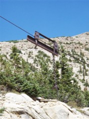
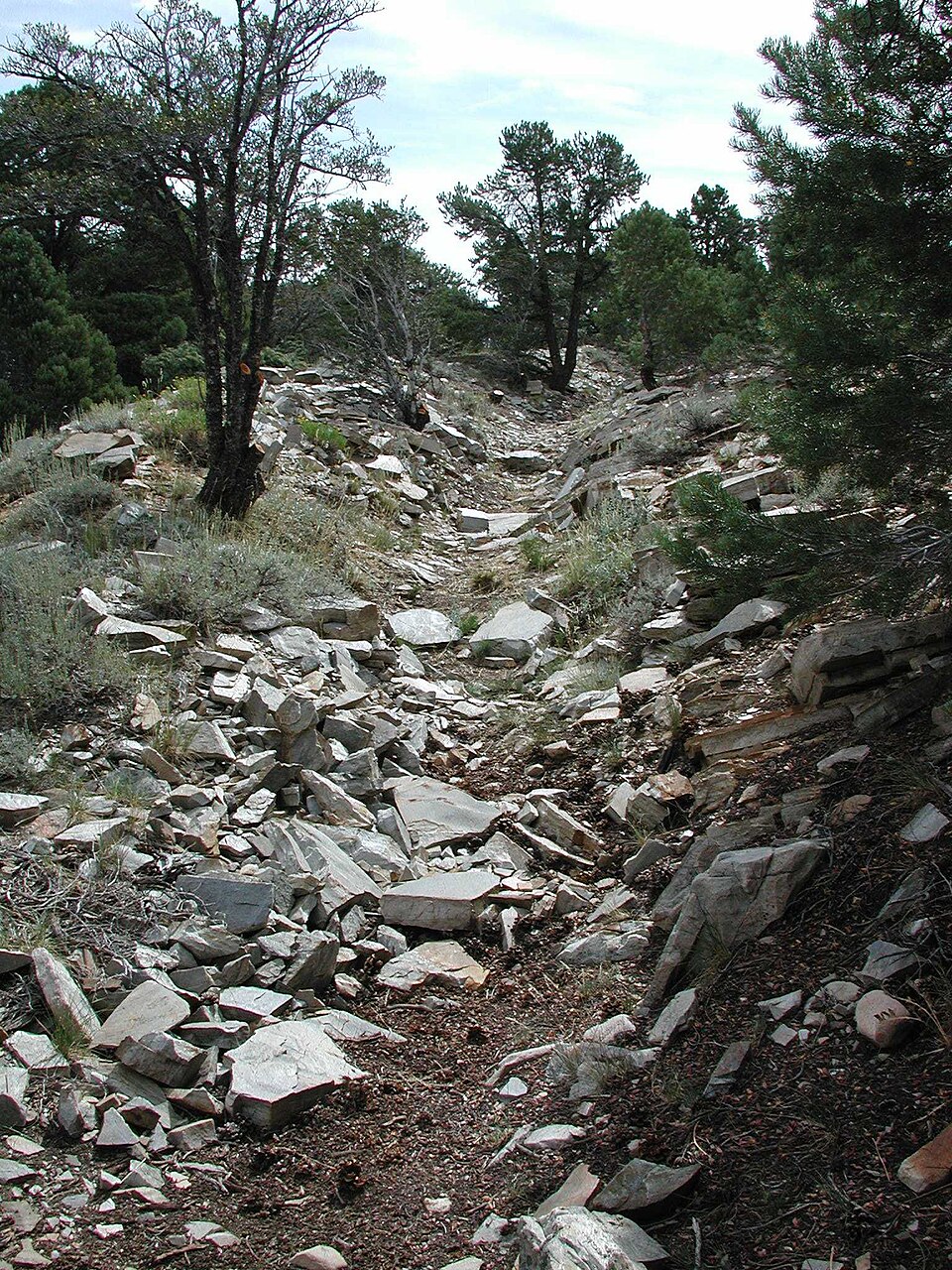
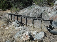
Photograph of Osceola Ditch
Photograph by National Park Service, Public domain. Via Wikimedia Commons.

Osceola (East) Ditch

Listed on the National Register of Historic Places in 1996.

From the record

“The Osceola Ditch, also known as the East Ditch, was built in 1889-1890 to convey water from Lehman Creek, Nevada to a hydraulic mine operation at Osceola. Extending for 18 mi (29 km), the ditch includes a 600 ft (180 m) tunnel as well as wooden flumes.”

Wikipedia article Osceola Ditch, CC BY-SA 4.0.

One of 21 National Register listings published here for White Pine County · listed in 1996 · category: Structure.

Sources: the Wikipedia article · the case file at the National Archives · the National Register database, National Park Service
The listing

Fires near this property

43 since 1999

Regional context, not property-specific evidence. The federal wildfire occurrence database lists 43 fires within 5 miles of Osceola (East) Ditch between 1999 and 2020, burning about 4,830 acres in total. 32 started naturally. 1 was recorded as arson. Distance is straight-line from the map coordinates, so a fire counted here may appear on a neighbouring settlement's page as well.

Reported cause Fires
Natural32
Missing data/not specified/undetermined5
Equipment and vehicle use2
Recreation and ceremony2
Arson/incendiarism1
Debris and open burning1

The most recent of them, most recent first, with the day each was reported and the service that recorded it.

DateCause SizeReported by Name on the report
28 September 2014Naturalunder an acreEly District OfficeSUMMIT
20 September 2017Missing data/not specified/undeterminedunder an acreEly District OfficeLEHMAN
2 September 2001Missing data/not specified/undeterminedunder an acreGreat Basin National ParkWHEELER RD
16 September 2002Naturalunder an acreGreat Basin National ParkUPPER LEHM
8 August 2016Natural4,656 acresGreat Basin National ParkSTRAWBERRY
5 August 2017Recreation and ceremonyunder an acreEly District OfficeUPPER SIXTEEN
4 August 2013Naturalunder an acreEly District OfficeSHERMAN
30 August 2001Naturalunder an acreGreat Basin National ParkROBINSON

Every fire recorded in White Pine County

Mines and quarries near this property

10 of 17 shown

Regional context, not property-specific evidence. The federal mineral resources record lists 17 workings within 5 miles of Osceola (East) Ditch: 7 occurrences, 5 prospects, 4 past producers, 1 producer. 1 still produces. What was taken out: Tungsten, Gold, Lead, Silver. Distance is straight-line from the map coordinates, so a quarry counted here may appear on a neighbouring settlement's page as well.

Where SiteCommodity StatusRecorded
Lucky Boy MineSilver, LeadPast ProducerVein
Usbm Sample Locality #15Copper, LeadOccurrenceUnknown
Lucky Boy MineLead, SilverProspect
Strawberry CreekSilverPast Producer
Unnamed ProspectSilver, LeadProspect
Usbm Sample Locality #4.LeadOccurrence
No. Slope 18 ClaimGoldOccurrenceUnknown
Weaver CreekGoldProspect
Weaver Creek PlacerGoldProducer1885
Whitney GroupGoldPast Producer

Every working recorded in White Pine County

Storms near this property

13 since 2003

Regional context, not property-specific evidence. The National Weather Service names Baker, the town this property stands in, in 13 storm reports between 2003 and 2024: 7 thunderstorm wind, 3 flash flood, 2 heavy rain, 1 debris flow. No death or injury is recorded in these reports. Each account below is quoted exactly as the forecast office filed it, from the NOAA Storm Events Database, and each date opens the federal record of that event.

WhenEvent Place namedHarm What the report says
August 2014Debris FlowBaker$2,000A large debris flow occurred on the Hampton fire burn scar with debris flowing 4 miles into the valley below the fire burn area. A mesonet site about 5 miles away reported 0.90 inches of rain in 80 minutes. A private residence was impacted by the debris flow. Damages are estimated.
August 2024Thunderstorm WindBaker-Station (MTHN2) Mather, Elevation 9268 ft.
June 2023Thunderstorm WindBaker-Station (MTHN2) Mather Raws, Elevation 9268 feet.
September 2023Thunderstorm WindBaker-Station (MTHN2) Mather Raws, Elevation 9268 feet.
August 2021Heavy RainBaker-One and fifty-one hundreth inches of rain fell at DRI site (DNEP7), 2 miles west of Baker. Water was reported to be running onto an adjacent road in NV-488. Elevation 6035 feet.
August 2021Flash FloodBaker-Heavy rain was reported in the are with some estimates of 1-2 inches of rainfall. Law Enforcement reported several inches of water over US Highway 50 at mile marker 9. They also reported several inches of water across SR-488, 487, and US-6.
October 2018Heavy RainBaker-Mesonet Station BKRN2, Great Basin National Park CRN rainfall of 0.75 inches measured in 15 minutes.
September 2017Thunderstorm WindBaker-Thunderstorm winds knocked down power lines in Baker. Power was out through the night.
August 2003Flash FloodBaker-Flash floods closed highway 50 for over two hours five miles northeast of Baker. Mudslides caused closure of highway 50 near Sacramento Summit 18 miles northwest of Baker. Flash flooding on highway 93 twenty miles south of Majors Place caused a vehicle accident.
July 2003Flash FloodBaker-Heavy rains washed mud across road going into the Great Basin National Park.
July 2013Thunderstorm WindBaker-no account filed
June 2005Thunderstorm WindBaker-no account filed

Every storm recorded in White Pine County

Map coverage status

No historic map-sheet match is published for this property yet. That does not mean no map exists. This record needs a coordinate-quality review before it can be joined to a sheet boundary. Browse the county's mapped places while that work is pending.

Listed places nearby

3 within 8 miles

Other National Register properties close enough to walk or drive between, ordered by distance from this one. Both positions come from the same geocoding pass that matched these properties to their map sheets.

Photograph PropertyDistance Listed
Rhodes Cabin3.9 miles1975
Lehman Orchard and Aqueduct4.0 miles1975
Johnson Lake Mine Historic District6.4 miles1995

Sources for this property

National Archives recordThe nomination case file for reference 96000584 in Record Group 79.
Wikipedia articleCommunity-written account of this property, licensed CC BY-SA.
White Pine CountyAll 21 listed properties in this county.

Provenance

  • Listing record. National Park Service National Register of Historic Places, listed-properties dataset, current to 2026-05-22.
  • Map join. Address geocoded through the United States Census geocoder, then tested against the published boundary of every sheet in the USGS Historical Topographic Map Collection.
  • How this page is made. Listing fields come from federal records; map-sheet coverage is a labelled coordinate-to-boundary calculation, not a source-field claim.
  • Wildfire. Short, Karen C. 2022. Spatial wildfire occurrence data for the United States, 1992-2020 [FPA_FOD_20221014]. 6th Edition. Fort Collins, CO: Forest Service Research Data Archive. https://doi.org/10.2737/RDS-2013-0009.6 Collected with United States Government funding and usable without additional permissions or fees.
  • Mines and quarries. USGS Mineral Resources Data System (MRDS) https://mrdata.usgs.gov/mrds/ A work of the United States government, no copyright under 17 U.S.C. 105.
  • Storms. NOAA National Centers for Environmental Information, Storm Events Database https://www.ncei.noaa.gov/stormevents/ A work of the United States government, no copyright under 17 U.S.C. 105. Narratives are quoted verbatim from the National Weather Service report and are not edited or summarised.