Block
BlockFrom the record
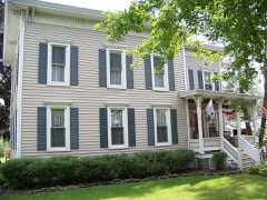
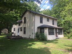
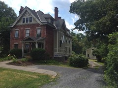
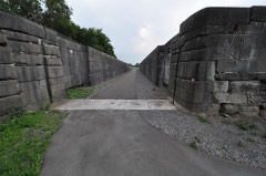
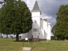
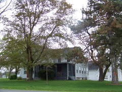
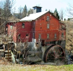
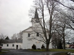
71 National Register listings published here, 4 of them National Historic Landmarks.
Sources: the National Register database, National Park Service
170 topographic sheets cover 118 settlements here, and 71 properties are on the National Register of Historic Places.
71 National Register listings published here, 4 of them National Historic Landmarks.
Sources: the National Register database, National Park Service
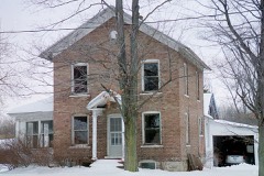
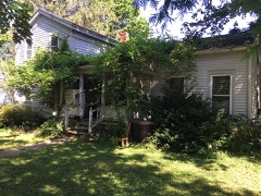
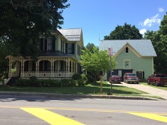
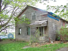
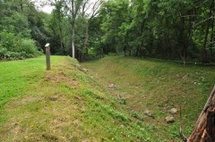
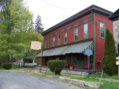
Every property in this county listed on the National Register of Historic Places, with the year it was listed and the federal nomination document.
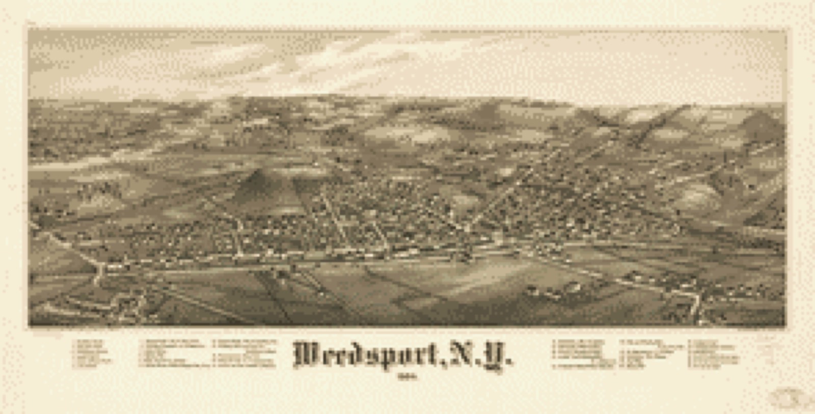
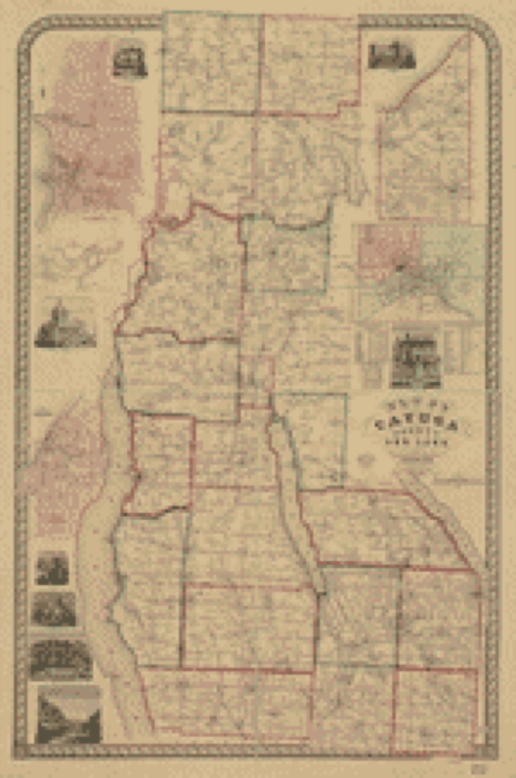
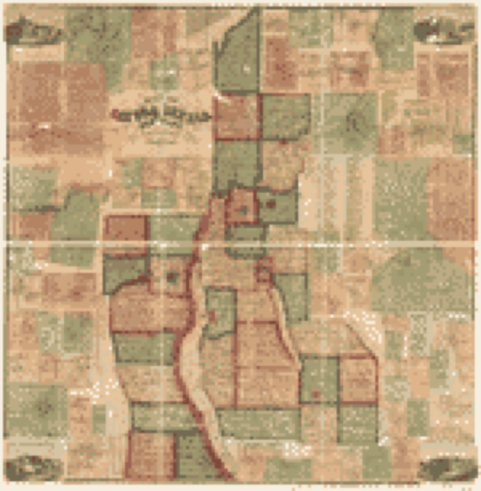
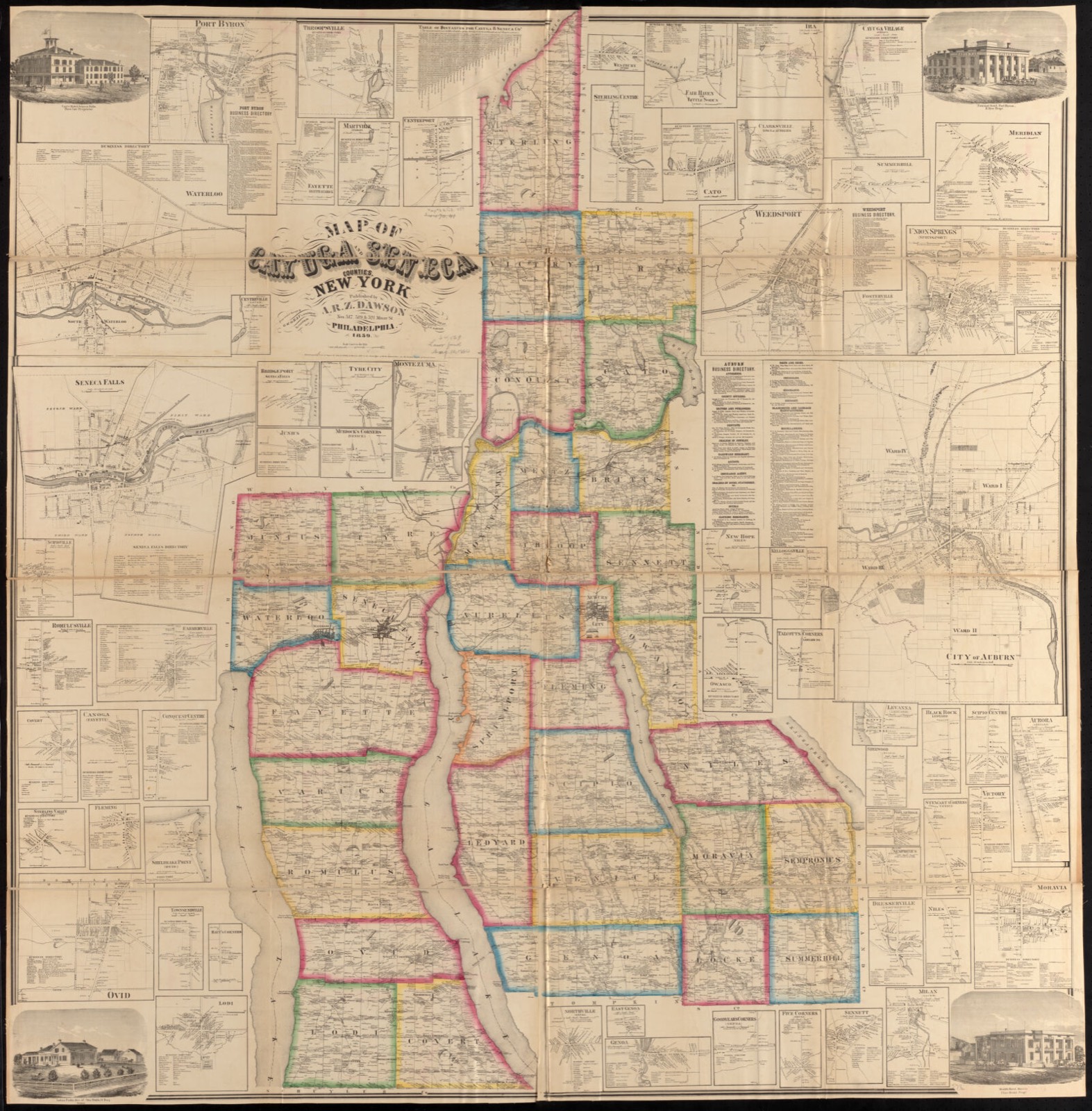
Drawn when these were printed as single large sheets: the town seen from the air, and the county divided into its farms with every owner named. Each opens the original at the Library of Congress.
Selected from the Digital Public Library of America's 39 image records catalogued for this county. Every one shown here carries a public-domain status or a licence that permits reuse on a site that carries advertising; non-commercial, share-alike and restricted images are excluded. The selection is spread across the county's towns (at most eight per town), so no single institution's bulk upload crowds out the rest. Each opens the holding library's record, and the complete set at the Digital Public Library of America is one click away.
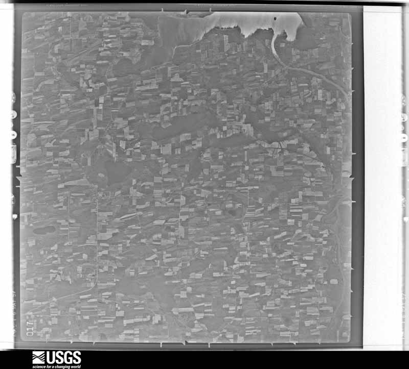
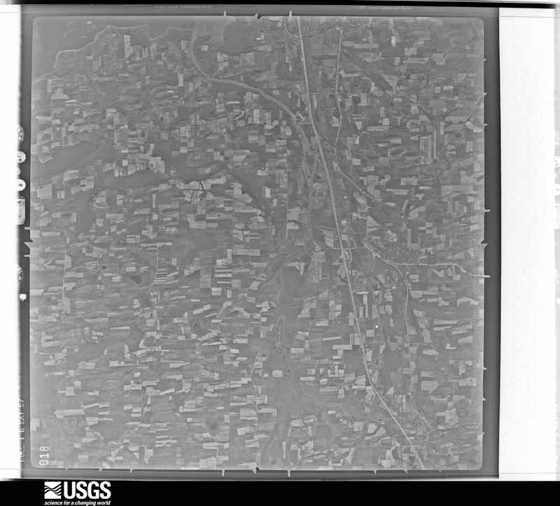
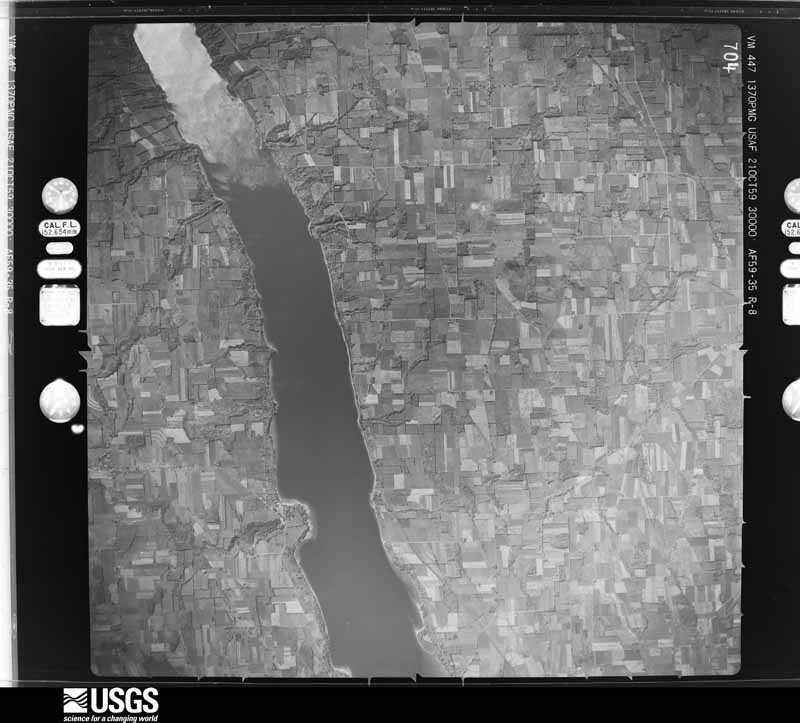
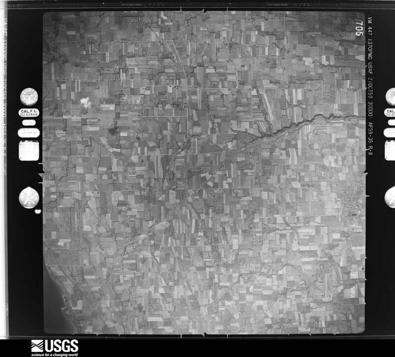
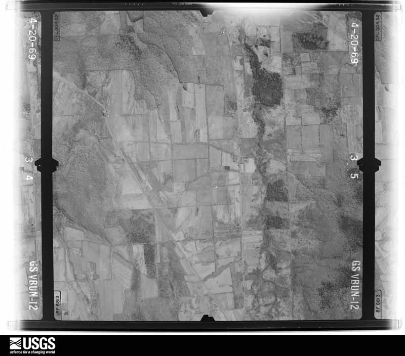
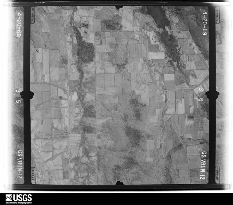
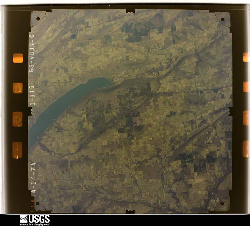
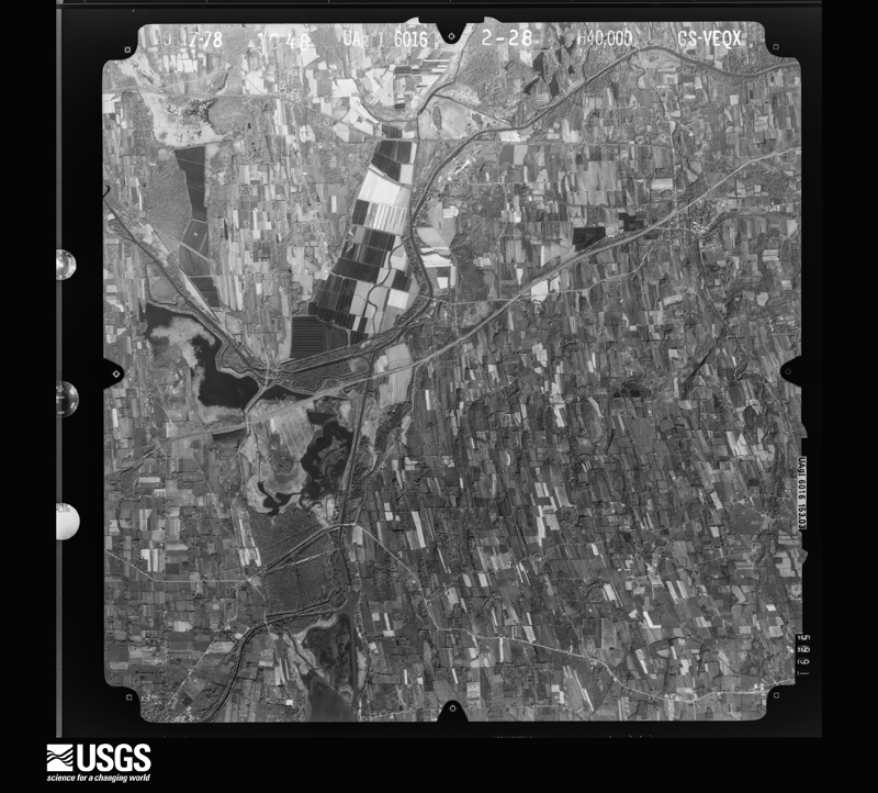
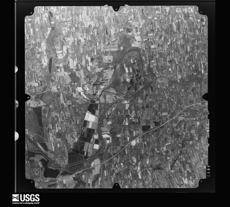
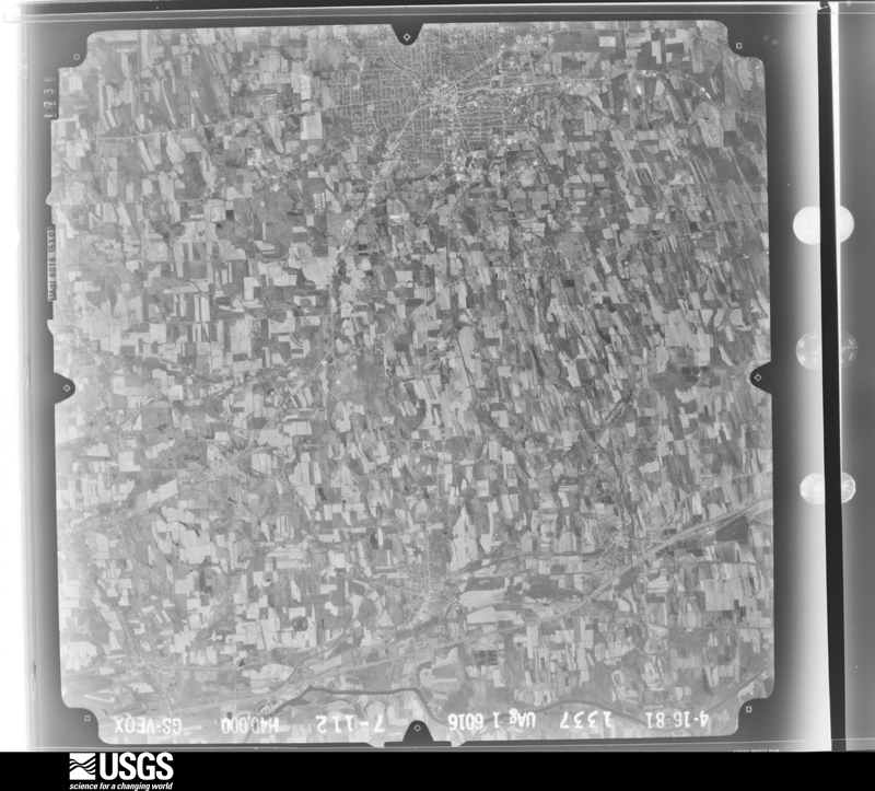
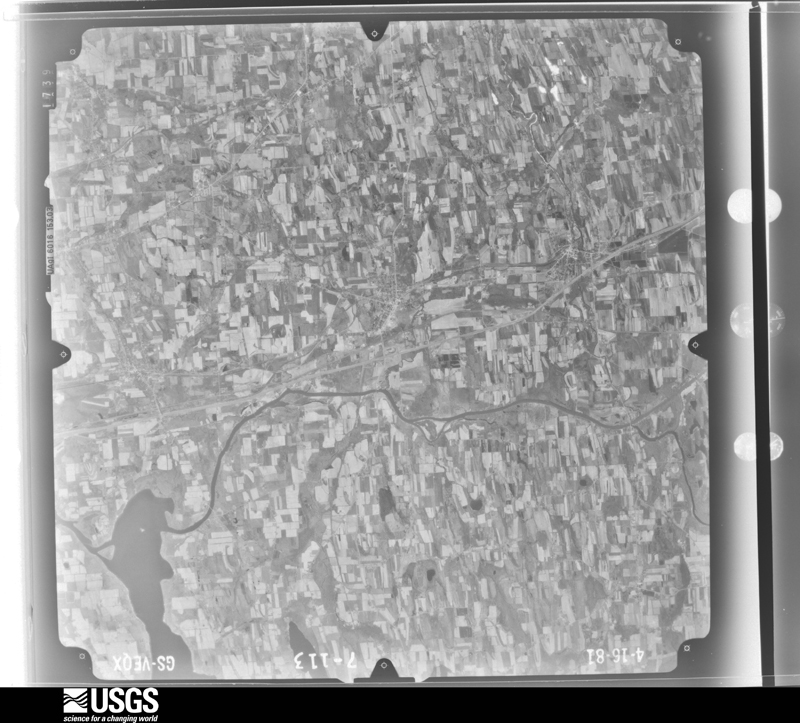
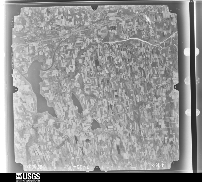
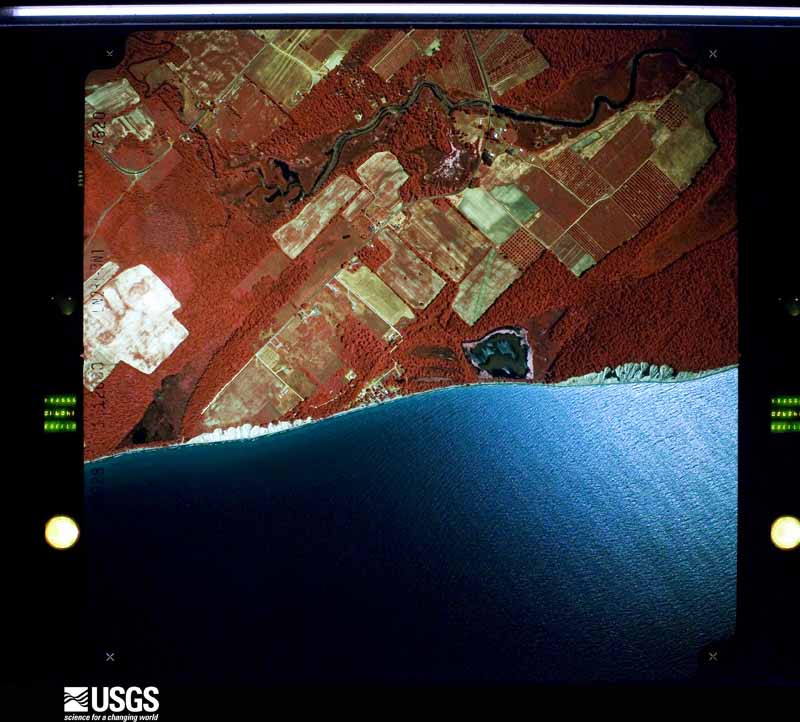
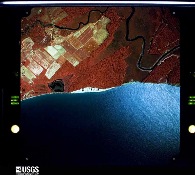
Flown by the U.S. Geological Survey between 1937 and 1989, the Aerial Photo Single Frames collection is the definitive mid-century view of the land: fields, roads and rivers as the camera saw them. The Survey holds 1,636 frames inside the rectangle that bounds this county; the 48 frames below were taken over the county itself, chosen across the decades of flights (at most four a year from that rectangle), so one flight cannot crowd out the rest. The full set is free to browse and download at EarthExplorer under the dataset Aerial Photo Single Frames.
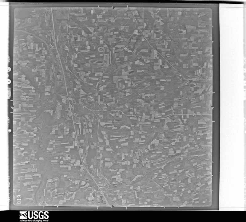
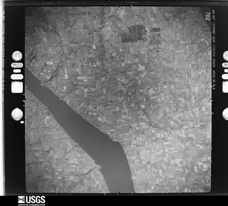
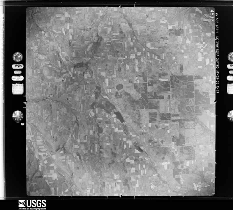
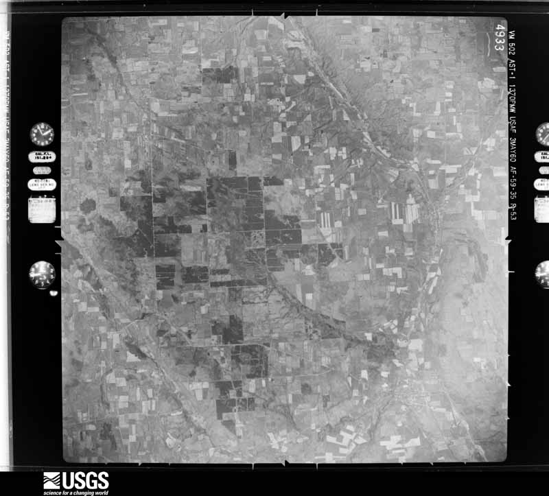
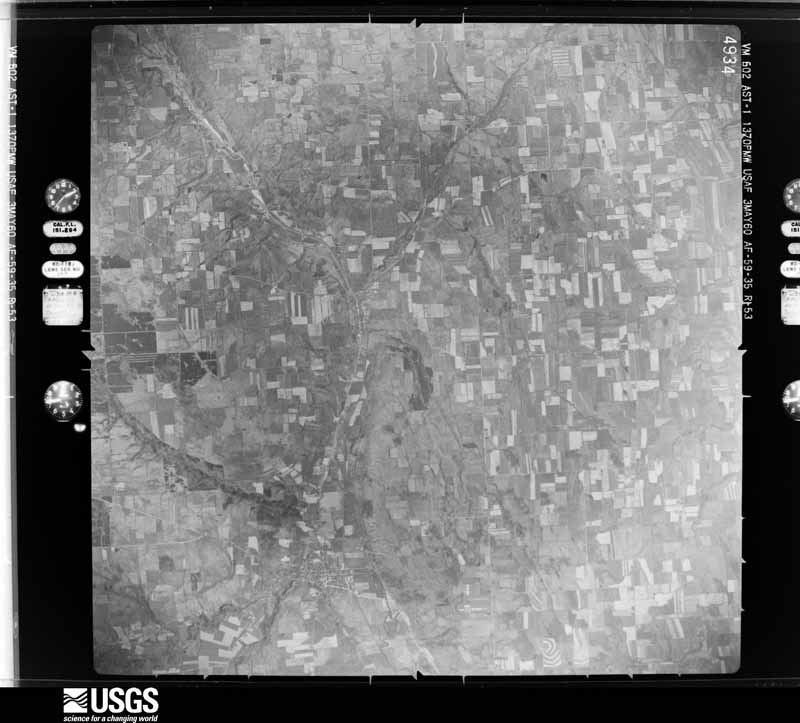




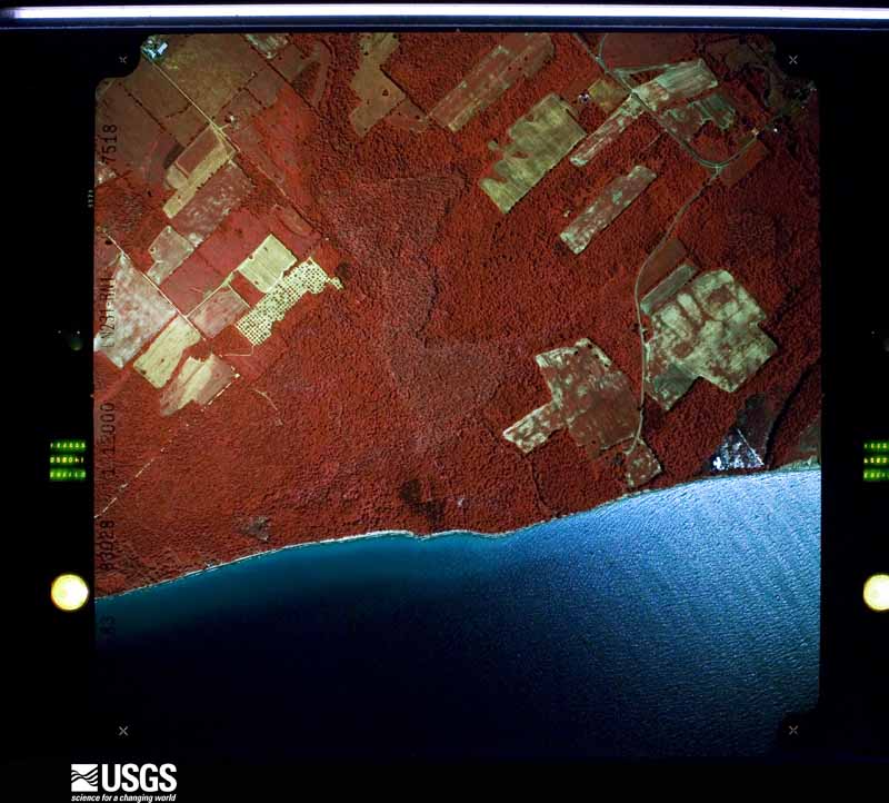
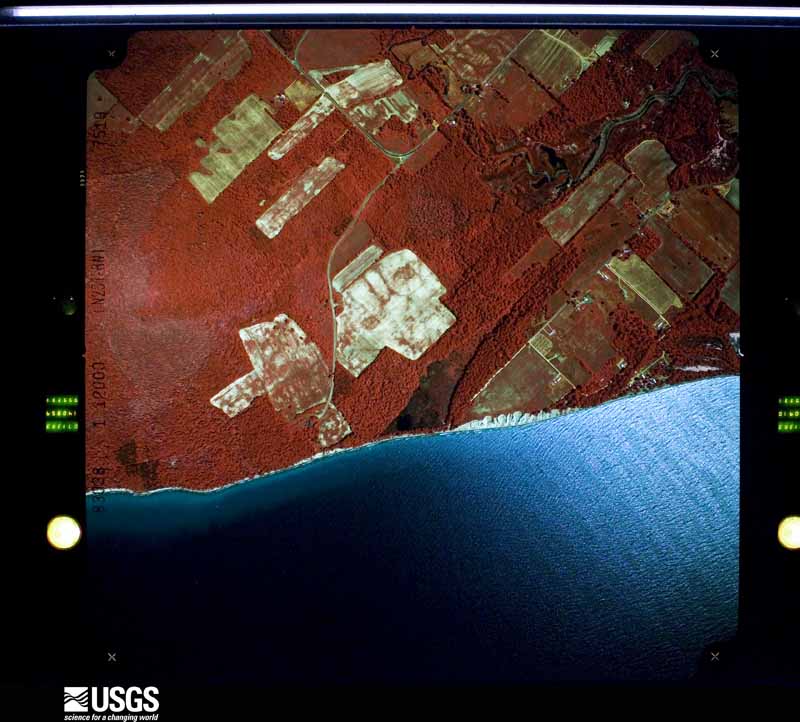

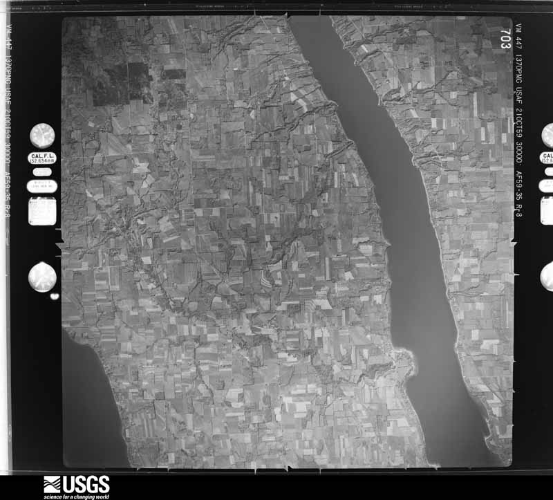

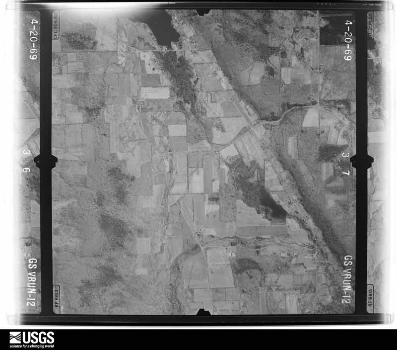
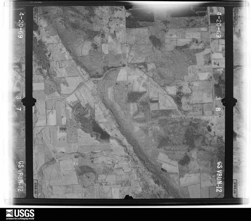

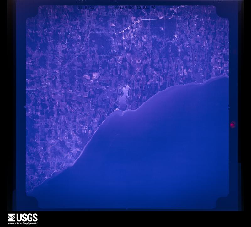

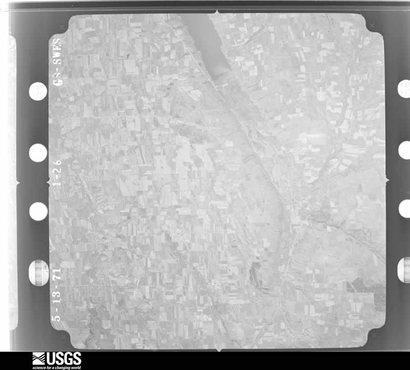
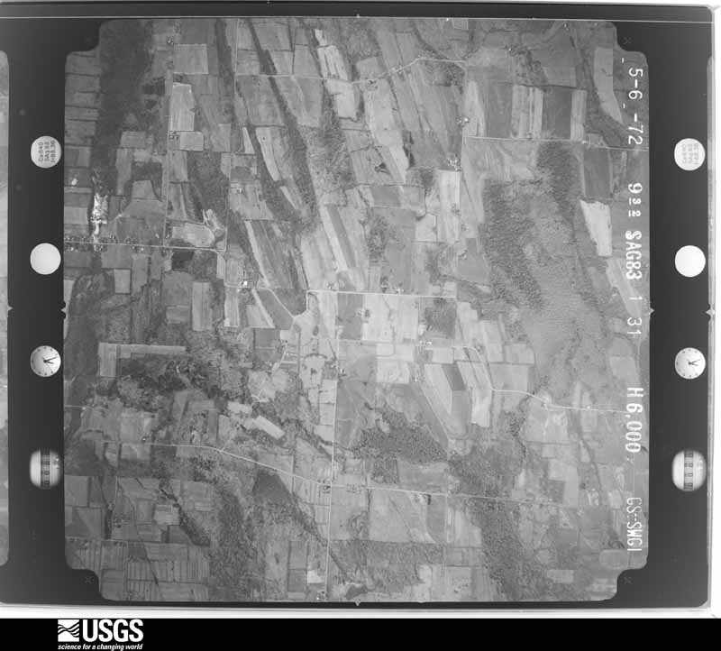
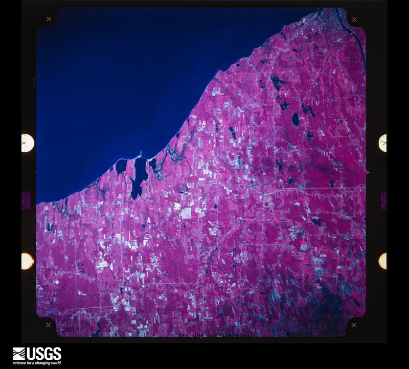
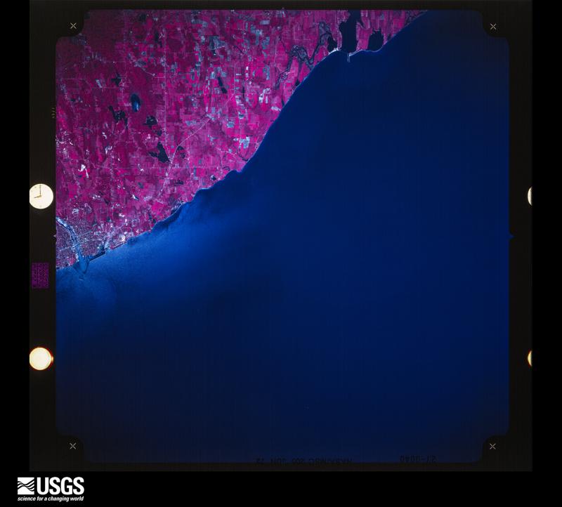

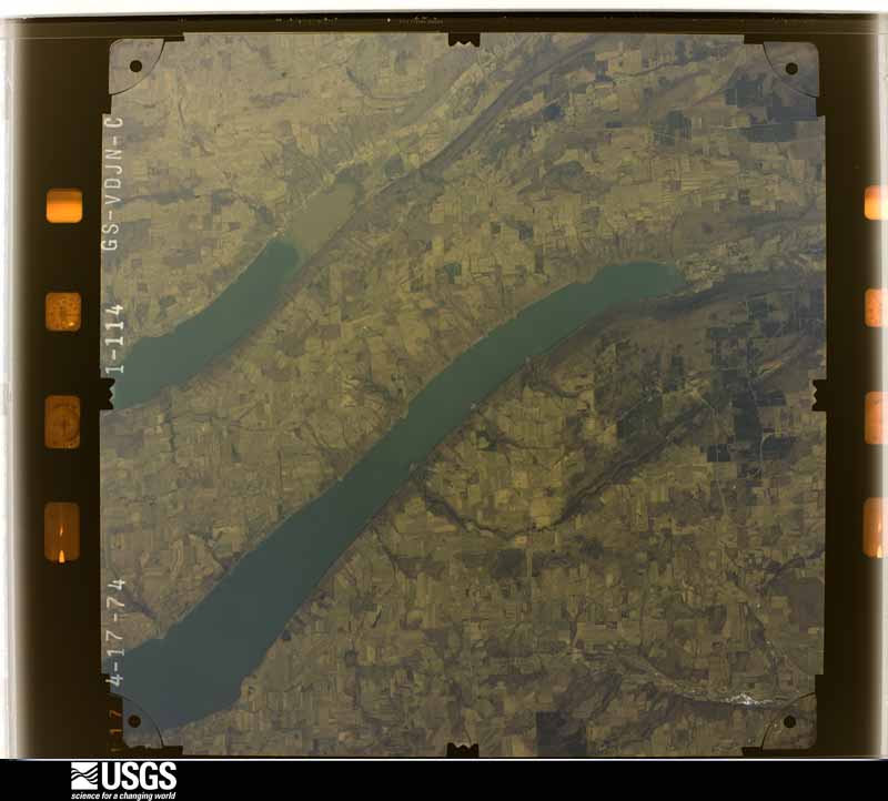





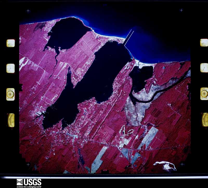
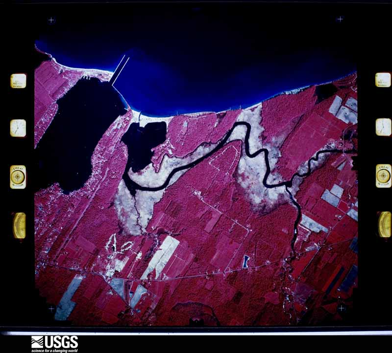
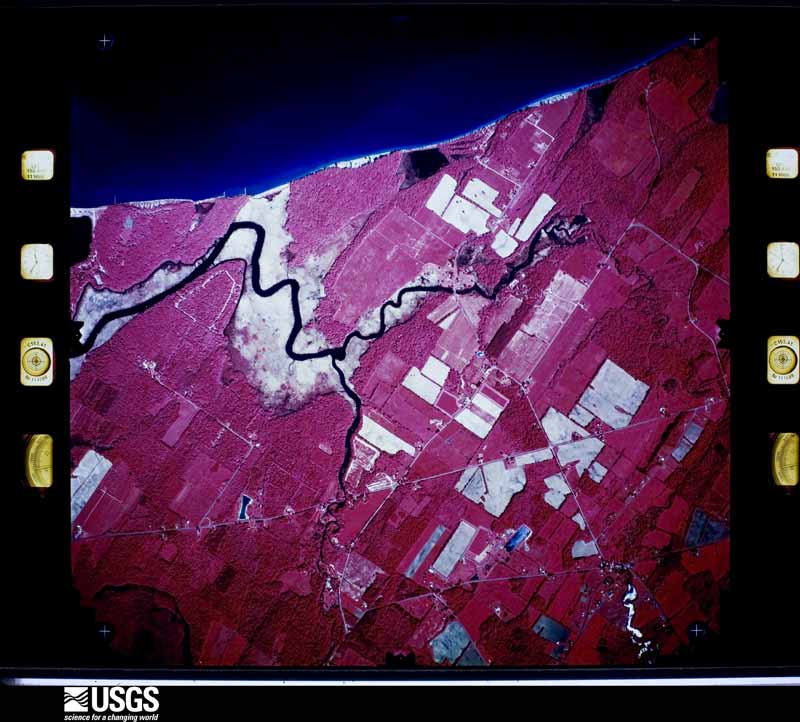

The thermometers that kept this county's weather, and the gages that measured the flow of its streams, as the federal records hold them. The extremes below are measured values from those records, not estimates.
Who lived here in 1950, one enumeration district at a time, as the Census Bureau described each district. Each row opens its official National Archives result, with Population Schedules and ED Maps available there.
Every wildfire the federal occurrence database records inside this county: 667 of them, burning about 560 acres. 44 started naturally and 139 were recorded as arson. Each settlement page carries the fires within five miles of it.
| Reported cause | Fires |
|---|---|
| Missing data/not specified/undetermined | 307 |
| Arson/incendiarism | 139 |
| Debris and open burning | 92 |
| Natural | 44 |
| Equipment and vehicle use | 33 |
| Smoking | 26 |
| Recreation and ceremony | 9 |
| Power generation/transmission/distribution | 8 |
| Other causes | 6 |
| Misuse of fire by a minor | 2 |
| Railroad operations and maintenance | 1 |
The five largest, by the area the report gives. Four of them were set deliberately.
| Date | Cause | Size | Reported by | Name on the report |
|---|---|---|---|---|
| 26 September 2016 | Debris and open burning | 6.3 acres | Fire Department of New York | N/A |
| 14 November 2016 | Debris and open burning | 6.3 acres | Fire Department of New York | N/A |
| 26 September 2016 | Debris and open burning | 6.3 acres | Fire Department of New York | N/A |
| 14 November 2016 | Arson/incendiarism | 6.3 acres | Fire Department of New York | N/A |
| 16 May 2016 | Arson/incendiarism | 6.3 acres | Fire Department of New York | N/A |
| 19 April 2016 | Natural | 6.3 acres | Fire Department of New York | N/A |
| 26 September 2016 | Arson/incendiarism | 6.3 acres | Fire Department of New York | N/A |
| 13 November 2016 | Arson/incendiarism | 6.3 acres | Fire Department of New York | N/A |
Every settlement page carries the fires within five miles of it - see the settlement index below.
The NOAA Storm Events Database holds 526 reports for this county, causing 2 deaths, 8 injuries and about $38,694,250 in recorded property damage. Each settlement page carries the reports that name it.
| Kind of event | Reports |
|---|---|
| Thunderstorm Wind | 358 |
| Hail | 93 |
| Flash Flood | 46 |
| Flood | 11 |
| Lightning | 8 |
| Tornado | 5 |
| Funnel Cloud | 4 |
| Heavy Rain | 1 |
The most serious of them, by death, then injury, then recorded damage. The accounts are quoted exactly as the forecast office filed them.
| When | Event | Place named | Harm | What the report says |
|---|---|---|---|---|
| May 1983 | Tornado (F3) | not stated | 1 killed, $2,500,000 | no account filed |
| January 1996 | Flash Flood | Countywide | 1 killed, $1,400,000 | no account filed |
| September 1998 | Thunderstorm Wind | Montezuma | 3 hurt, $20,000,000 | The derecho which inflicted wind damage upstream to the northwest, including Seneca county, ripped across northern and central parts of Cayuga county between 100 and 130 am EDT. Much wind damage resulted. Most of the damage was in the form of downed trees and power lines, but there was a concentrated area of structural damage from Port Byron southwestward to Montezuma. The line of severe thunderstorms first entered the county around 100 am EDT and affected an area from Montezuma to Throop to Port Byron between 100 and 110 am. It was in this region that the greatest damage occurred in the county. In the town of Port Byron, a 150 year old Presbyterian Church was nearly leveled by the ferocity of the wind. Portions of its steeple and bell tower were blown several hundred yards and actually caused some damage to adjacent structures. In Montezuma and Throop, many trees and utility poles were uprooted, with several landing on nearby cars and homes. Dozens of homes in this area sustained siding and/or roof damage. In the city of Auburn, the storm came through around 115 am EDT and felled numerous trees and power lines. On the north side of town, damage to homes was more pronounced with roofs torn off of several buidings, including a department store. A few minor injuries were caused by flying debris in this section of town. The storms exited the county shortly before 125 am EDT with more tree damage in the town of Owasco. Ten vacation homes in the Highland Beach area on the eastern side of Owasco Lake took on minor damage in the form of blown out windows, ripped off shingles, and damaged aluminum siding. Damage estimates were close to 20 million dollars for the county. Portions of Port Byron and Auburn in the hardest hit areas were without electrical power for close to 3 days. Cayuga county eventually qualified to receive federal disaster relief money. |
| July 2006 | Lightning | Meridian | 3 hurt | no account filed |
| June 2022 | Thunderstorm Wind | North Fair Haven | 1 hurt, $50,000 | Multiple mobile homes were damaged. Two were destroyed. One injury was reported. |
| June 2025 | Lightning | Locke | 1 hurt | A man was injured after being struck by lightning while closing windows on an enclosed porch. |
| September 1998 | Thunderstorm Wind | Cato | $5,000,000 | no account filed |
| July 2017 | Flash Flood | King Ferry | $900,000 | Widespread flash flooding of most creeks and urbanized areas occurred throughout the town of Genoa. Many residents were evacuated from their homes in low lying areas. The US Post Office in the village was inundated by flood waters. Culverts and roads were washed out in several places. |
| July 2017 | Flash Flood | Ledyard | $725,000 | Widespread flash flooding of most creeks and urbanized areas occurred throughout the town of Venice. Culverts and roads were washed out in several locations. Some residences and businesses experienced flooding. |
| July 2017 | Flash Flood | Kelloggsville | $725,000 | Widespread flash flooding of most creeks and urbanized areas occurred throughout the town of Sempronius. Culverts and roads were washed out in several places. Some residences and businesses experienced flooding. |
| April 2020 | Flash Flood | Moravia | $500,000 | Water rapidly rushed through Moravia, NY along Mill Creek and into the Owasco Lake Inlet. A dozen structures in the heart of the village experienced minor to moderate flood damage. One structure was heavily damaged by flooding. The Owasco Inlet crested at 9.44 feet which was near record flooding. |
| April 2004 | Thunderstorm Wind | Ledyard | $500,000 | Thunderstorms caused scattered straight line wind damage across a large area of southern Cayuga County. About 20 to 30 structures sustained at least minor damage. The towns affected were Ledyard, Venice, Scipio, Genoa, and Moravia. The most significant damage was a roof that was ripped off a home in Poplar Ridge (town of Venice) and damage to several barns and silos in Venice, Venice Center, and Scipio. Numerous trees were also snapped off or uprooted in these areas. A tornado also occurred at about the same time in the southeast corner of Scipio Township. |
| July 2017 | Flash Flood | Casowasco | $400,000 | Widespread flash flooding of most creeks and urbanized areas occurred throughout Moravia. Many residents were evacuated from their homes in low lying areas. Culverts and roads were washed out in many locations. Public and private infrastructure damage was extensive. |
| July 2017 | Flash Flood | Moravia Vans Arpt | $360,000 | Widespread flash flooding of most creeks and urbanized areas occurred throughout the town of Locke. Culverts and roads were washed out in several places. Some residences and businesses experienced flooding. |
| July 2006 | Flash Flood | Conquest | $300,000 | no account filed |
| April 1991 | Tornado (F1) | not stated | $250,000 | no account filed |
| June 1969 | Tornado | not stated | $250,000 | no account filed |
| October 2021 | Flash Flood | Locke | $200,000 | There was significant flash flooding of roads, yards, outbuildings and homes in Locke near the junction of NY-90 and NY-38. |
| July 2017 | Flash Flood | Casowasco | $200,000 | Widespread flash flooding continued along most creeks and urbanized areas throughout Moravia. Many residents were evacuated from their homes in low lying areas. Culverts and roads were washed out in many locations. The Owasco Lake Inlet exceeded its major flood stage. |
| October 2021 | Flash Flood | Moravia | $150,000 | Flash flooding along Mill Creek inundated several roads and homes. |
| October 2021 | Flash Flood | Union Spgs | $100,000 | Numerous roads and homes were flooding in the area. |
| October 2021 | Flash Flood | Locke | $100,000 | Widespread flooding of roads and homes was occurring in the area. |
| August 2015 | Thunderstorm Wind | Meridian | $100,000 | The county emergency manager reported damage at Crosslake Park. |
| August 2011 | Tornado (EF2) | Spring Lake | $100,000 | A tornado moved from Wayne county to Conquest in northern Cayuga county. |
| June 2005 | Thunderstorm Wind | Moravia | $100,000 | Thunderstorm winds did extensive damage in a small area on Oak Hill Road in Moravia. The damage was thought to be due to a microburst. The winds took the roof off a large barn extension, collapsed a 70 foot tall grain elevator, and downed trees. Other trees were downed on Rockefeller Road. |
| April 2004 | Tornado (F0) | Edgewater | $100,000 | A small tornado touched down briefly in the southeast part of the town of Scipio in southern Cayuga County near Mathers Road. The tornado tracked east southeast before lifting before it hit the southern end of Owasco Lake. The tornado's path length was about one half mile long with a width of about 75 yards. Maximum winds with this tornado were estimated to be 70 mph. The tornado knocked down or uprooted many trees along its path. There was also minor damage to about 10 structures. Most of the structural damage was to shingles and siding. There was 1 home that had part of its roof blown off. A small boat was overturned and a row boat was blown up into a tree by the tornado. Other areas of southern Cayuga County had damage from straight line thunderstorm winds. |
| July 1999 | Thunderstorm Wind | Countywide | $100,000 | Tents blown down at the Cayuga County Fairgrounds located in Weedsport. Boats capsized at Owasco Lake. Trees and powerlines down throughout the county. |
| June 2019 | Flood | North Fair Haven | $100,000 | no account filed |
| April 2005 | Flash Flood | South Portion | $100,000 | no account filed |
| November 1996 | Flash Flood | Countywide | $100,000 | no account filed |
| February 2016 | Flash Flood | Locke | $75,000 | An ice jam developed on the Owasco Inlet and Hemlock Creek between the villages of Locke and Moravia. Water was reported to be flowing across State Route 38. Several homes along State Route 38 near the creeks were impacted by flood waters. |
| April 2017 | Flood | Cato | $75,000 | no account filed |
| May 2022 | Thunderstorm Wind | Venice Center | $67,500 | A 90 mph microburst was determined to have hit Roach's Farm in|Venice, NY. There were four barns that sustained roof damage with|metal panels being lofted. The furthest debris was about 200 |yards from the barn. Some of the metal panels had been lofted into|the power lines along Stewart's Corners Rd but had been cleaned |prior to our survey. There were several pieces of metal roofing |that were still located in trees at the time of our survey. At the|intersection of Ford Rd and Stewart's Corners Rd, there was a |Davis weather station that was sheltered from the southwest, but |recorded a measured 59 mph gust during the storm. ||The strongest damage indicators were on the northwestern edge of |the damage path along Ford Rd, where several trees were snapped. |Three of the hemlock trees lining Ford road were snapped roughly |10 to 15 feet off the ground. Behind those trees, there were a |group of maple trees with several of those being snapped in |addition to the hemlocks. One of the maple trees fell onto a farm |building and shifted the entire building off the wooden foundation|to the east northeast. The building likely shifted due to the |tree falling, however the wooden polls on the northwestern edge of|the building had been lifted out of the ground by about 4 inches.|Other damage was also seen around the area, generally to the east|where another farm building lost metal roofing and a large |hardwood tree had its trunk snapped, however they were not along |the path of the stronger winds. |
| July 2023 | Thunderstorm Wind | Union Spgs | $65,000 | The core of a severe thunderstorm descended right onto Cayuga Lake around |224 PM EDT on July 24, 2023, blasting the immediate eastern shore with a |microburst of 70 to 80 mph winds at Union Springs. Numerous trees had |large branches snapped and a few were uprooted right at the edge of the |lake, also causing downed wires and a power pole. At least two houses, |and one shed, sustained moderate roof damage from large branches falling |on them. Several others had more cosmetic or minor damage from small |branches. There were also downed trees, a broken metal sign, and minor |boat damage at a marina. The property manager there even observed a |miniature seiche of sorts, with the power of the wind causing water to |surge a bit into the marina during the storm, then it flowed back out |shortly after. |
| April 2026 | Flood | Sheldrake | $50,000 | Heavy rainfall within the Owasco Lake Inlet basin caused a rapid response and major flooding at the streamgage near Moravia. The inlet crested at 10.28 feet early in the morning of April 1st. The Major flood stage is 9.5 feet. |
| October 2021 | Flash Flood | Moravia | $50,000 | Significant flooding along Owasco Inlet and in the Village of Moravia occurred. Water was deep across West Cayuga Street. |
| October 2017 | Thunderstorm Wind | Auburn | $50,000 | A line of thunderstorms produced damaging wind gusts which knocked down trees and wires. |
| July 2017 | Flash Flood | Southeast Owasco | $50,000 | Flash flooding reportedly caused the collapse of Oak Hill Road. |
| June 2005 | Thunderstorm Wind | Auburn | $50,000 | Thunderstorm winds downed trees. The wind also ripped off the roof of the landfill maintenance building. The roof was blown across the street into a radio station service structure. The roof also snapped wires and utility poles as it crossed the street. 4,400 electric customers were without power. |
| June 1998 | Hail | King Ferry | $50,000 | The same severe thunderstorm that produced damage earlier in both Yates and Seneca counties plowed eastward across southern Cayuga county. Widespread wind damage in the form of downed trees and power lines occurred in Kings Ferry, Auburn, Moravia, and Niles. The cell also produced nickel sized hail in Moravia and nearly golf ball sized hail in Kings Ferry. |
| July 2019 | Flood | North Fair Haven | $50,000 | no account filed |
| May 2019 | Flood | North Fair Haven | $50,000 | no account filed |
| July 2008 | Thunderstorm Wind | Cato | $50,000 | no account filed |
| July 2006 | Flash Flood | Fair Haven | $50,000 | no account filed |
| August 1994 | Thunderstorm Wind | Conquest | $50,000 | no account filed |
| September 1994 | Thunderstorm Wind | of Weedsport | $50,000 | no account filed |
| May 1993 | Thunderstorm Wind | Auburn | $50,000 | no account filed |
| August 1993 | Thunderstorm Wind | Sterling | $50,000 | no account filed |
| August 1993 | Thunderstorm Wind | Auburn | $50,000 | no account filed |
| August 1993 | Thunderstorm Wind | Sennett | $50,000 | no account filed |
| May 1993 | Thunderstorm Wind | Auburn | $50,000 | no account filed |
| June 2019 | Flood | Locke | $40,000 | The stream gauge on the Owasco Inlet near Moravia crested at 9.7 feet around 2:30 PM. This is considered major flooding and many roads and residences were flooded along Aurora Street and Route 38A. |
| February 2025 | Flood | Farleys Pt | $35,000 | Flooding from a large ice jam affected two properties along Great Gully Cove Road. |
| June 2002 | Flash Flood | Conquest | $35,000 | no account filed |
| November 1996 | Flash Flood | Weedsport | $35,000 | no account filed |
| June 2002 | Lightning | Auburn | $30,000 | Lightning struck the jail and the sheriff's department in Sennett knocking out 911 service briefly. This strike damaged the radio tower. Another lightning strike hit the Auburn Police Department's transmitter. |
| July 1999 | Thunderstorm Wind | Fair Haven | $30,000 | no account filed |
| May 2013 | Thunderstorm Wind | Niles | $25,000 | Thunderstorm winds blew a barn down and downed a lot of trees in and around Niles. |
| June 2008 | Hail | Meridian | $25,000 | no account filed |
| June 2008 | Hail | Cato | $25,000 | no account filed |
The Survey's mineral resources record lists 28 workings inside this county. 7 still produce and 21 are closed or unrecorded. Each settlement page carries the workings within five miles of it.
| Commodity | Workings |
|---|---|
| Sand and Gravel, Construction | 20 |
| Gypsum-Anhydrite | 3 |
| Iron | 3 |
| Salt | 2 |
The least common of them first, because a county's hundredth gravel pit says nothing its first ten did not.
| Where | Site | Commodity | Status | Recorded |
|---|---|---|---|---|
| Aurora Well | Salt | Past Producer | ||
| J.C.Mahaney Well | Salt | Past Producer | ||
| Cayuga Junction Quarry | Gypsum-Anhydrite | Past Producer | ||
| Cross Roads Station Quarry | Gypsum-Anhydrite | Past Producer | ||
| Fair Haven Iron Company Property | Iron | Past Producer | ||
| Furnaceville Iron Co. | Iron | Past Producer | 1887 | |
| Hibiscus Point Quarry | Gypsum-Anhydrite | Past Producer | ||
| Swartout Opening | Iron | Past Producer | ||
| Franklin Street Pit | Sand and Gravel, Construction | Producer | ||
| Franklin Street Pit and Mill | Sand and Gravel, Construction | Past Producer | Sedimentary | |
| Harkington Sand and Gravel Pit | Sand and Gravel, Construction | Past Producer | Sedimentary | |
| Harkington Sand and Gravel Pit | Sand and Gravel, Construction | Producer | ||
| O'Toole Pit | Sand and Gravel, Construction | Producer | ||
| Scipio-O'Toole Pit | Sand and Gravel, Construction | Producer | ||
| Sennett Pit | Sand and Gravel, Construction | Producer | ||
| Town of Genoa Pit | Sand and Gravel, Construction | Past Producer | Sedimentary | |
| Town of Genoa Pit | Sand and Gravel, Construction | Past Producer | ||
| Town of Locke Pit | Sand and Gravel, Construction | Past Producer | Sedimentary | |
| Town of Locke Pit | Sand and Gravel, Construction | Past Producer | ||
| Town of Niles Pit | Sand and Gravel, Construction | Past Producer | Sedimentary | |
| Town of Niles Pit | Sand and Gravel, Construction | Past Producer | ||
| Town of Scipio Pit | Sand and Gravel, Construction | Past Producer | Sedimentary | |
| Town of Scipio Pit | Sand and Gravel, Construction | Producer | ||
| Town of Summerhill Pit | Sand and Gravel, Construction | Past Producer | Sedimentary | |
| Town of Summerhill Pit | Sand and Gravel, Construction | Past Producer | ||
| Town of Victory Pit | Sand and Gravel, Construction | Past Producer | Sedimentary | |
| Town of Victory Pit | Sand and Gravel, Construction | Past Producer | ||
| Venice-O'Toole Pit | Sand and Gravel, Construction | Producer |
Named settlements recorded in the Geographic Names Information System, each with the topographic sheets covering it. Villages, hamlets and abandoned places alike. Each is shown with the nearest named watercourse or landform and the survey quadrangle it falls on.
Springport town · On Yawger Creek · Union Springs quadrangle
27 sheets, 1899 to 1986
Owasco town · 13021 · On Dutch Hollow Brook · Scipio Center quadrangle
26 sheets, 1899 to 1986
Sempronius town · 13118 · On Mill Brook · Sempronius quadrangle
22 sheets, 1898 to 1986
Springport town · 13160 · Near Great Gully · Union Springs quadrangle
27 sheets, 1899 to 1986
Sterling town · 13111 · Near Gulf Hill · Fair Haven quadrangle
24 sheets, 1900 to 1985
Owasco town · 13021 · On Dutch Hollow Brook · Auburn quadrangle
28 sheets, 1899 to 1986
Sterling town · 13156 · On Ninemile Creek · West Ninemile Point quadrangle
22 sheets, 1900 to 1985
Sterling town · 13156 · On Sterling Creek · Fair Haven quadrangle
24 sheets, 1900 to 1985
Sterling town · 13156 · Near Sidmans Hill · Hannibal quadrangle
24 sheets, 1900 to 1985
Sterling town · 13111 · Near Gulf Hill · Fair Haven quadrangle
24 sheets, 1900 to 1985
Brutus town · 13166 · On Putnam Brook · Weedsport quadrangle
27 sheets, 1902 to 1985
Brutus town · 13080 · On Skaneateles Creek · Weedsport quadrangle
27 sheets, 1902 to 1985
Fleming town · 13021 · On Veness Brook · Auburn quadrangle
28 sheets, 1899 to 1986
Conquest town · 13140 · On Spring Lake Outlet · Victory quadrangle
24 sheets, 1902 to 1985
Brutus town · 13166 · On Putnam Brook · Weedsport quadrangle
27 sheets, 1902 to 1985
No longer a settlement
Moravia town · 13118 · Near Jewett Hill · Moravia quadrangle
25 sheets, 1898 to 1986
Springport town · 13160 · Near Frontenac Island · Union Springs quadrangle
27 sheets, 1899 to 1986
Fleming town · 13021 · On Dutch Hollow Brook · Scipio Center quadrangle
26 sheets, 1899 to 1986
The vanished settlements of Cayuga County: the places named above that are no longer on the map.