Block
BlockFrom the record
79 National Register listings published here, 1 of them a National Historic Landmark.
Sources: the National Register database, National Park Service
186 topographic sheets cover 122 settlements here, and 79 properties are on the National Register of Historic Places.
79 National Register listings published here, 1 of them a National Historic Landmark.
Sources: the National Register database, National Park Service
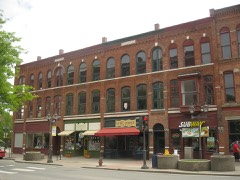
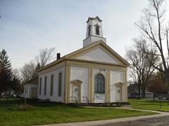
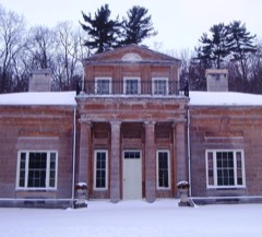
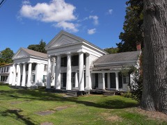
Every property in this county listed on the National Register of Historic Places, with the year it was listed and the federal nomination document.
Otsego County has 1 covered bridge on the National Register. Each is a listed structure with a federal nomination on file.
 | Hyde Hall Covered Bridge | Listed 1998, 17 map sheets show this crossing |
Drawn when these were printed as single large sheets: the town seen from the air, and the county divided into its farms with every owner named. Each opens the original at the Library of Congress.

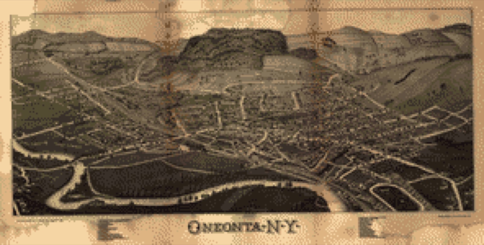
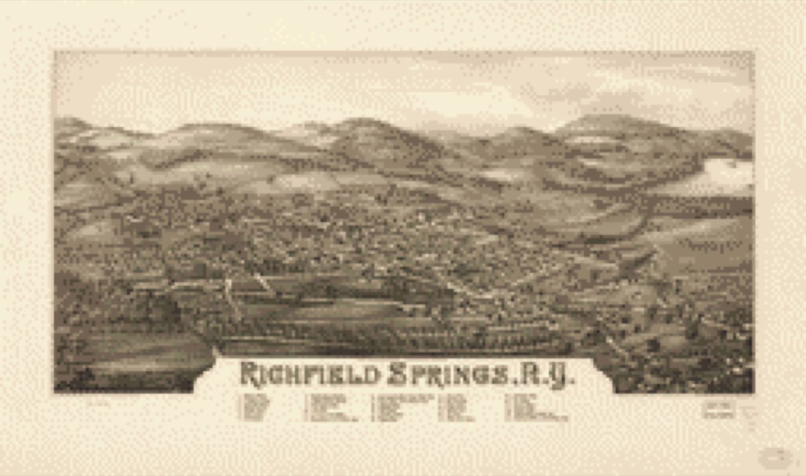
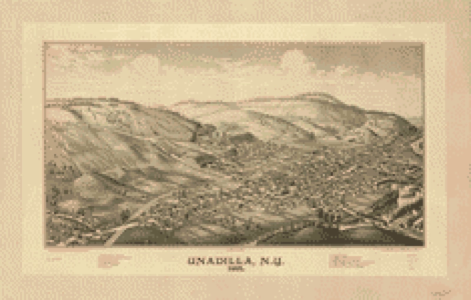
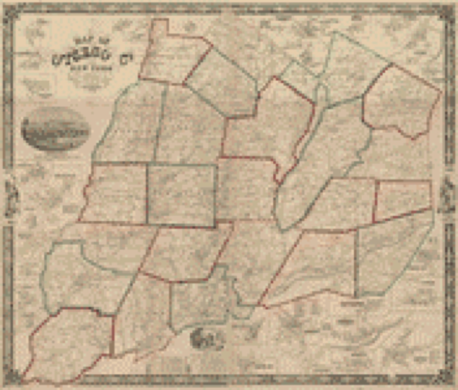
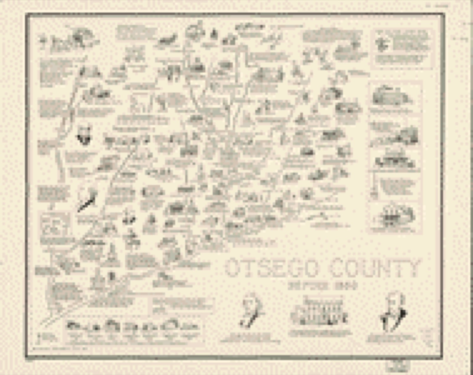
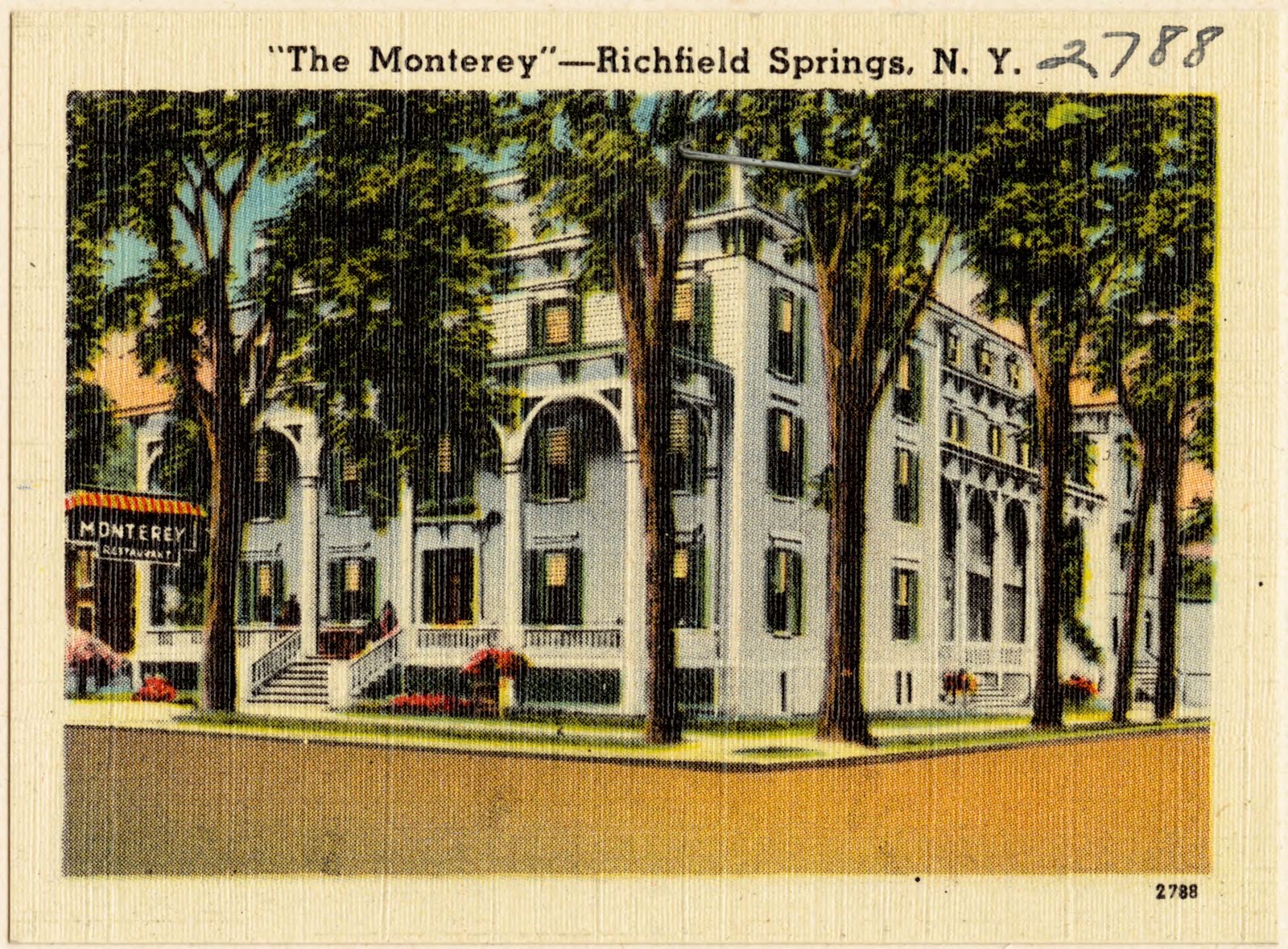
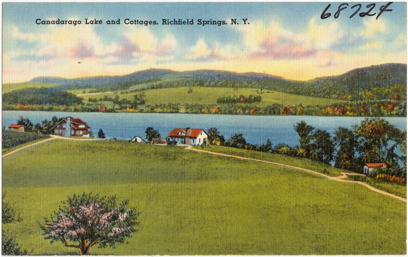
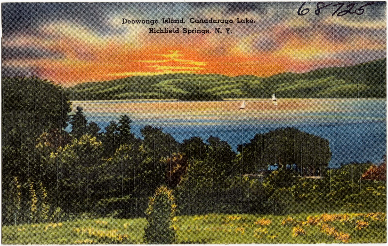
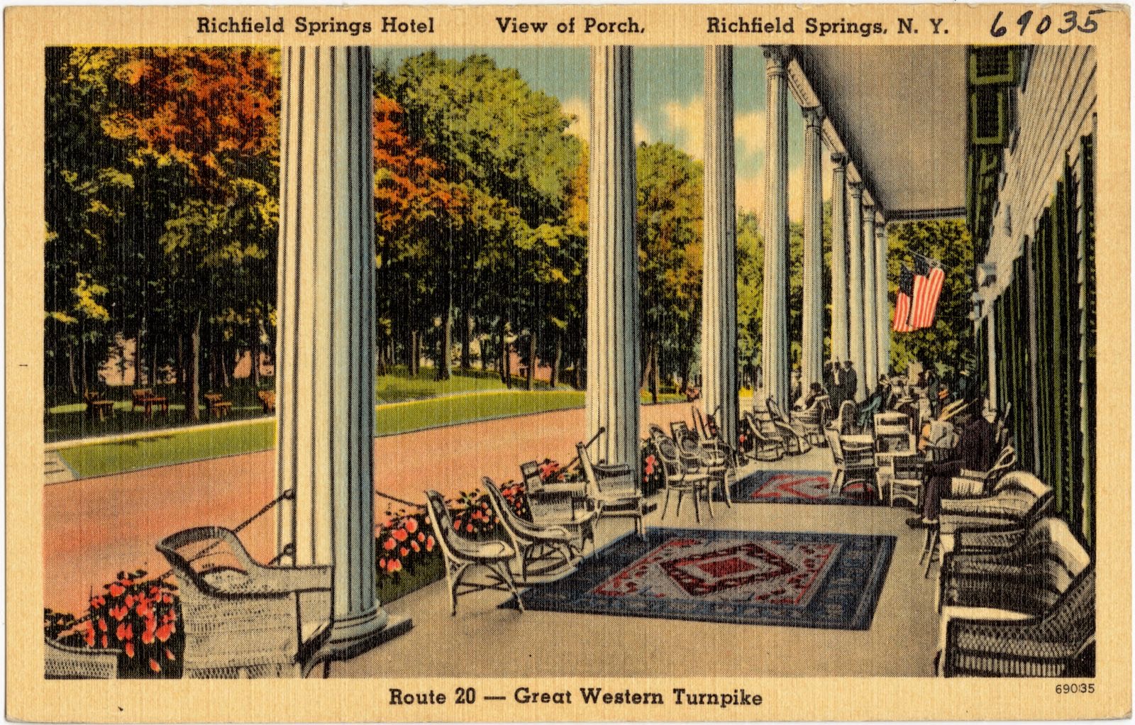
Selected from the Digital Public Library of America's 37 image records catalogued for this county. Every one shown here carries a public-domain status or a licence that permits reuse on a site that carries advertising; non-commercial, share-alike and restricted images are excluded. The selection is spread across the county's towns (at most eight per town), so no single institution's bulk upload crowds out the rest. Each opens the holding library's record, and the complete set at the Digital Public Library of America is one click away.
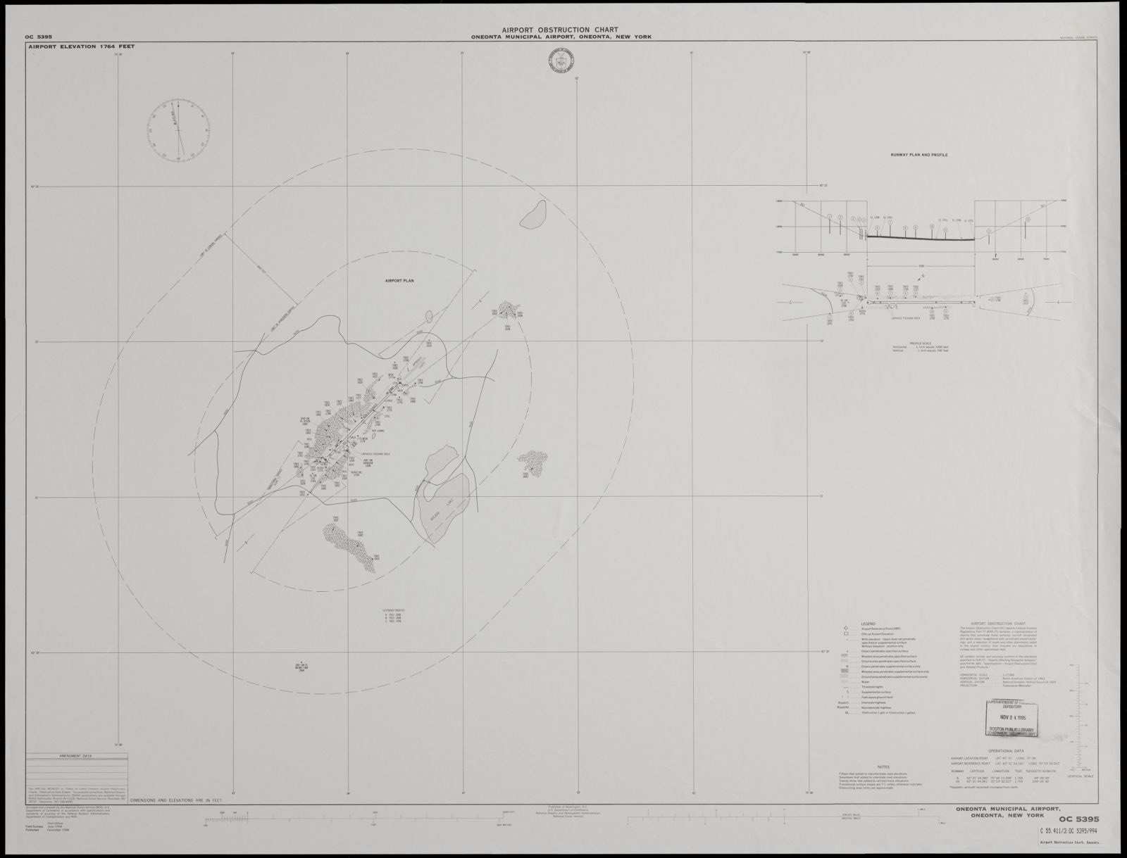
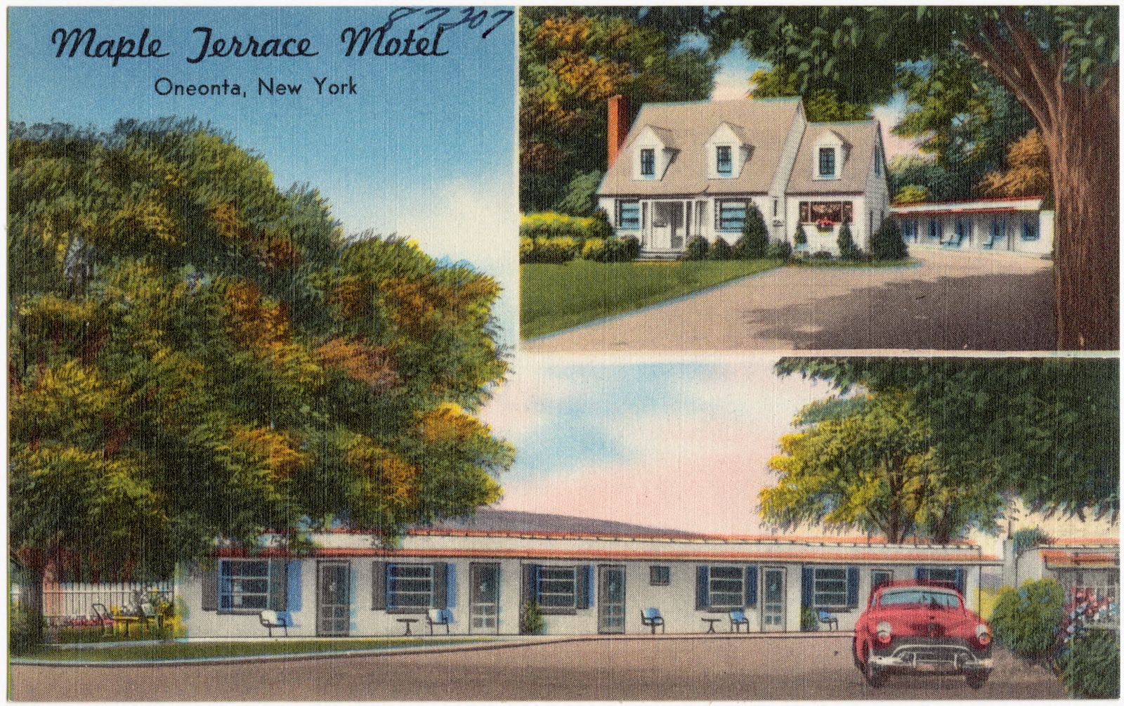
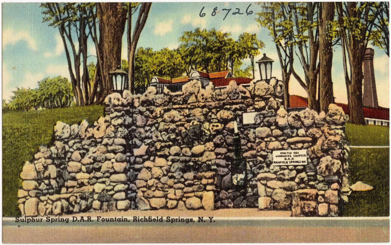
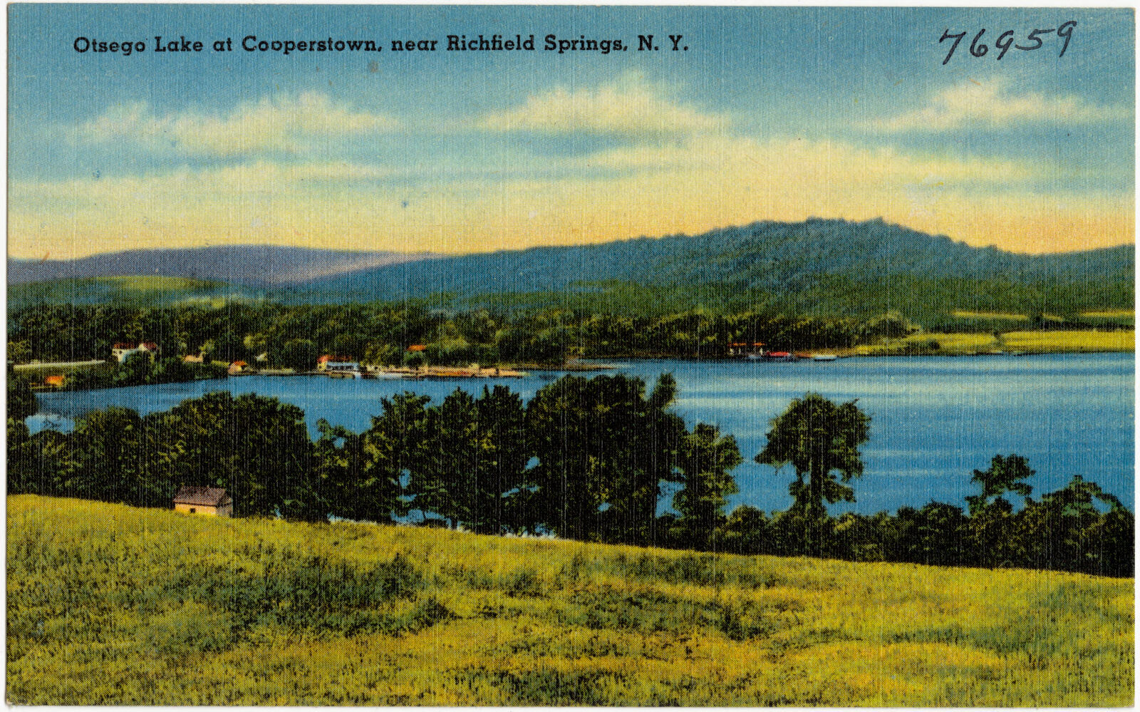
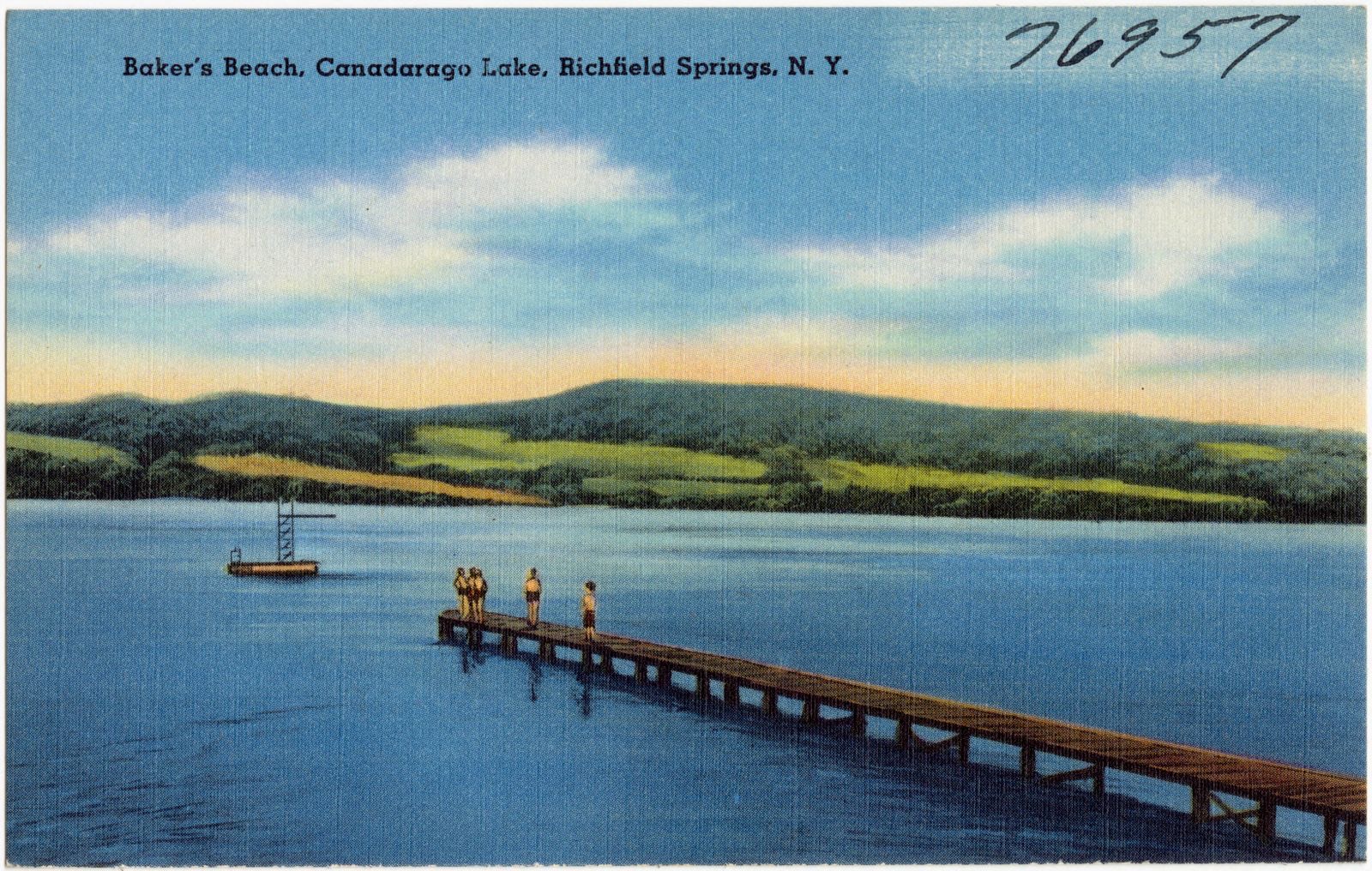
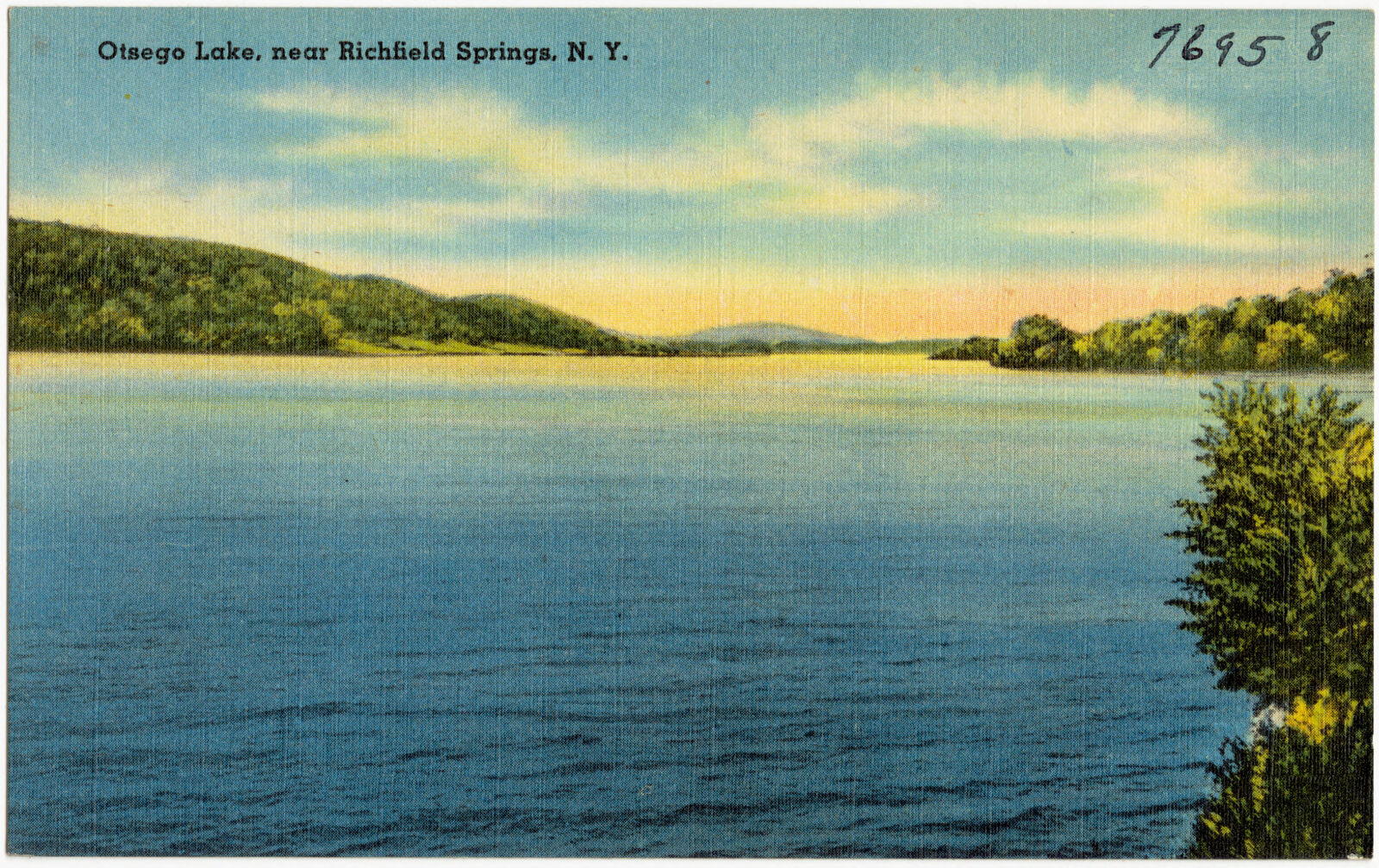
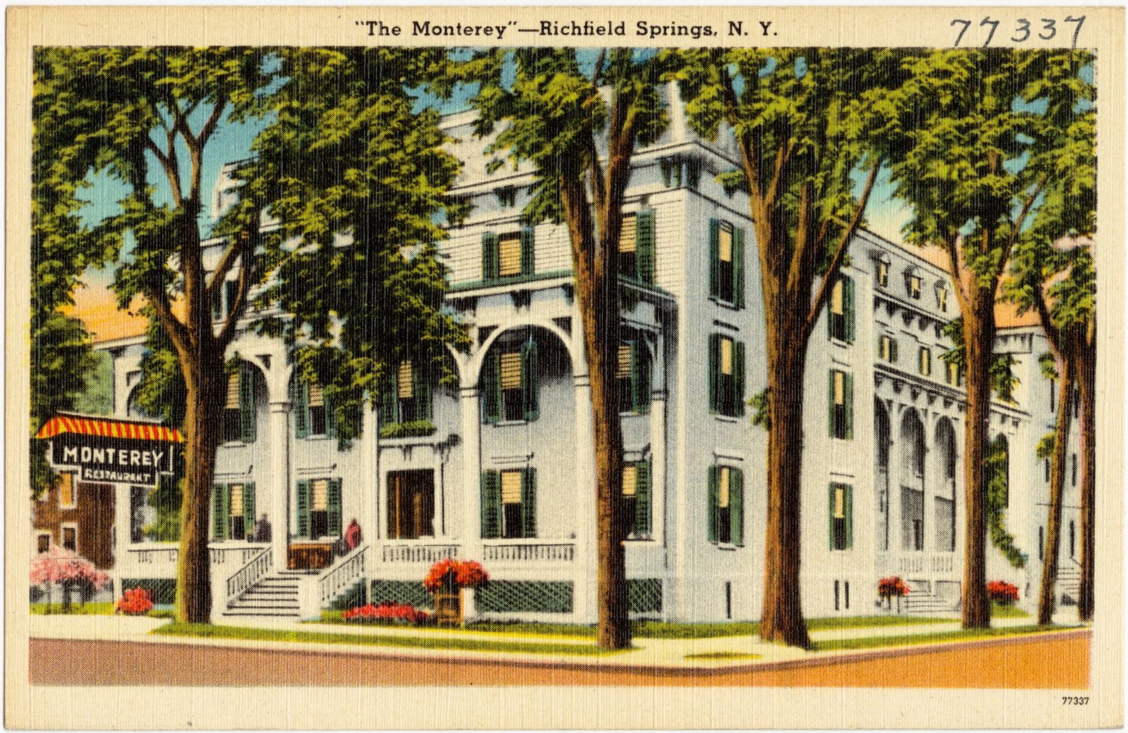
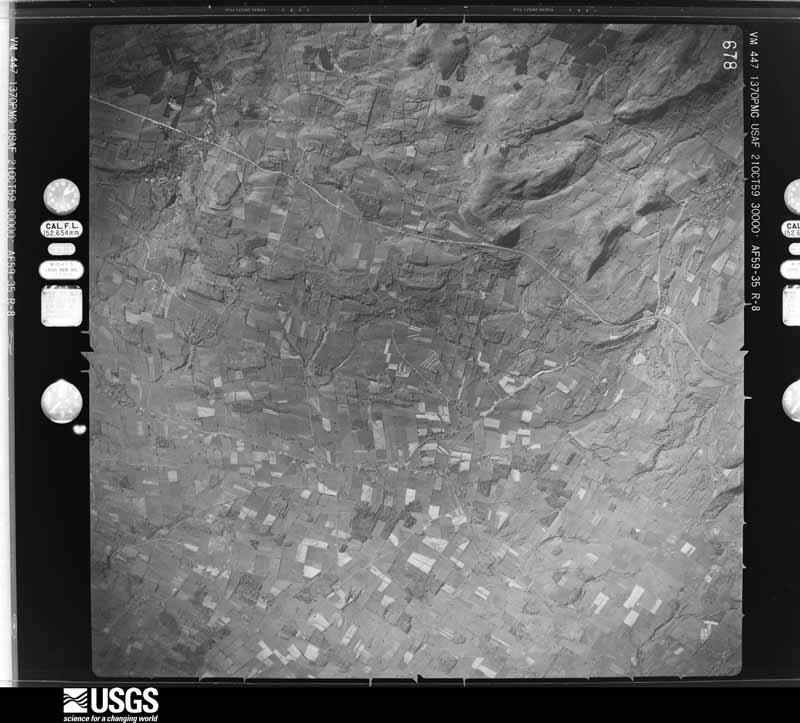
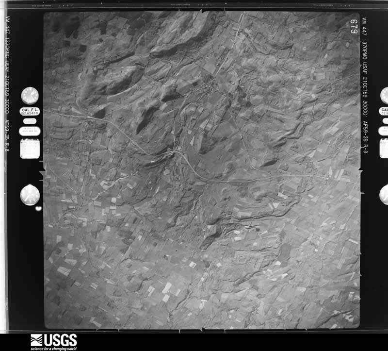
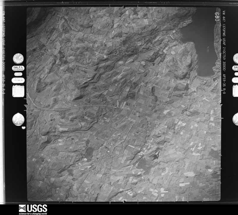
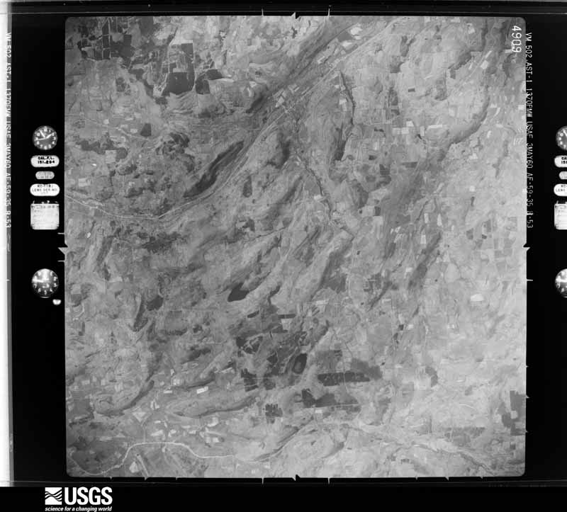
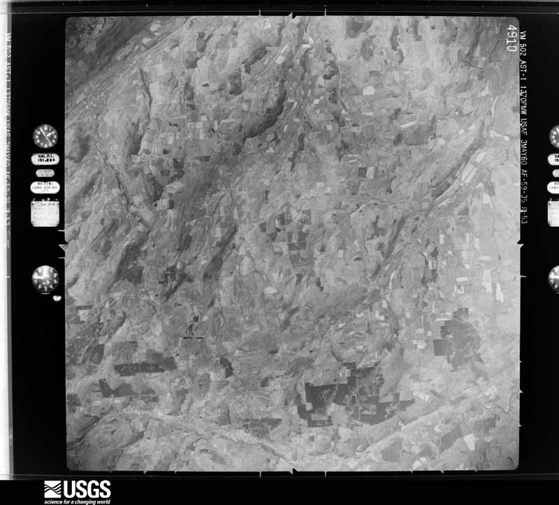
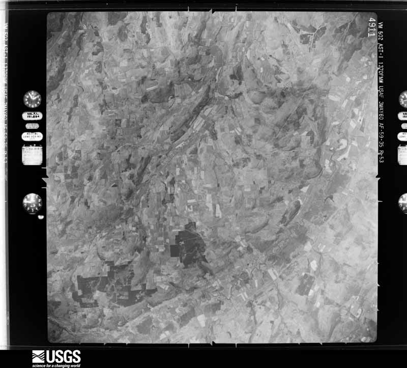
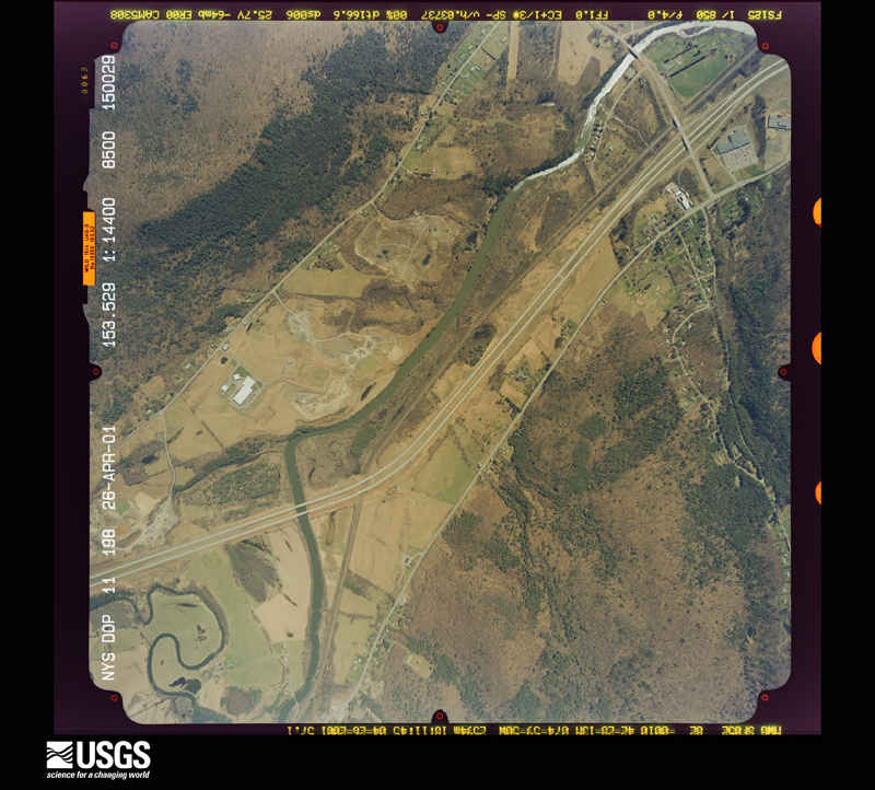
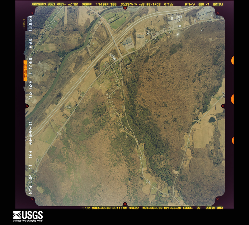
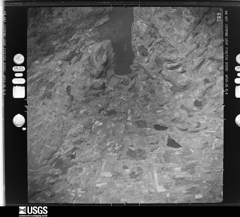
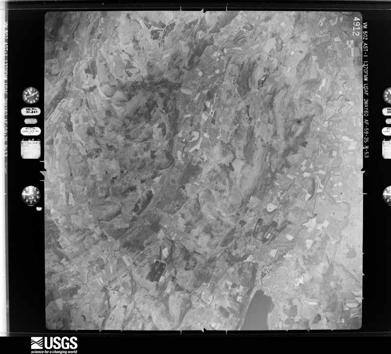
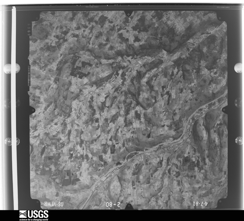
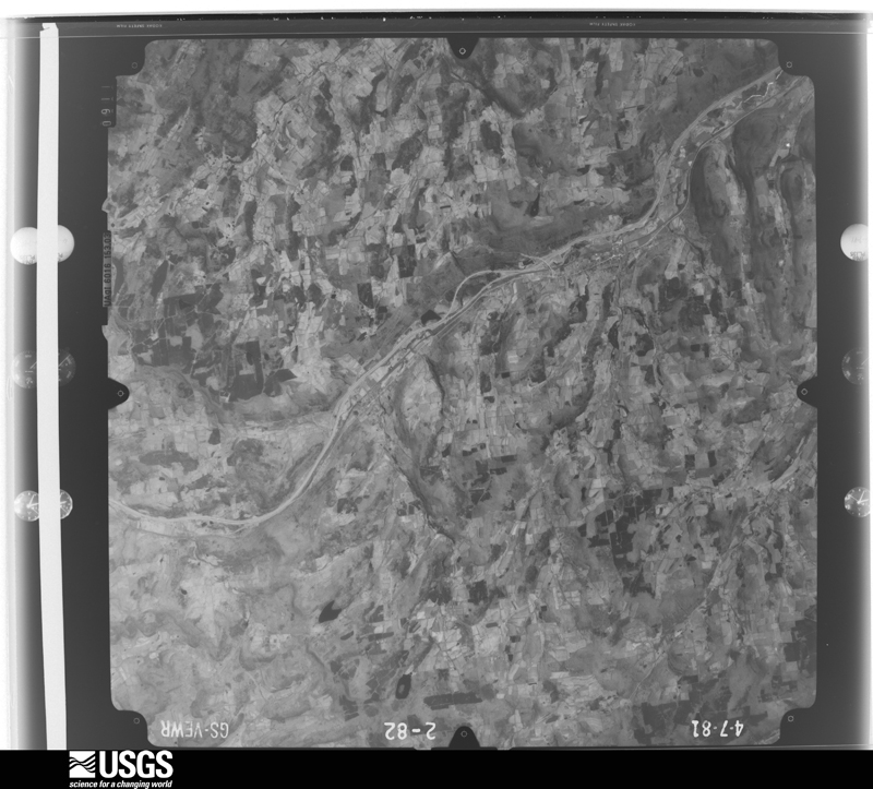
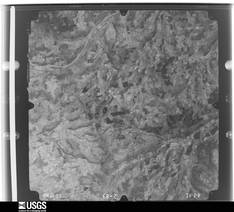
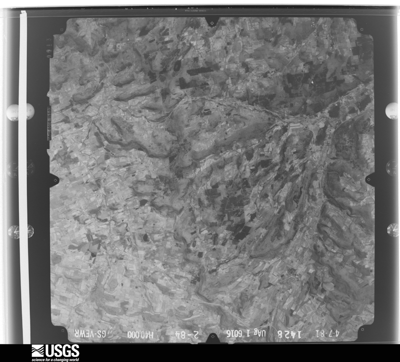
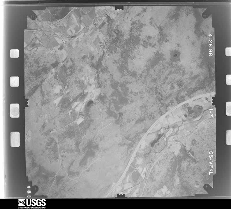
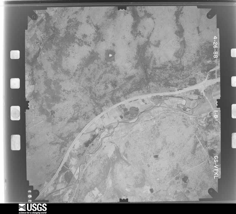
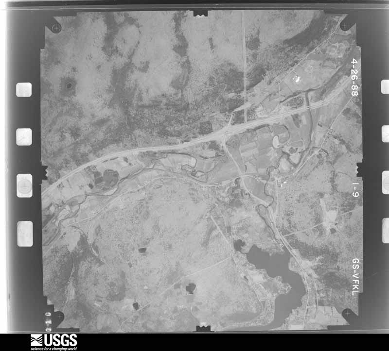
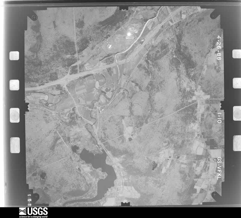
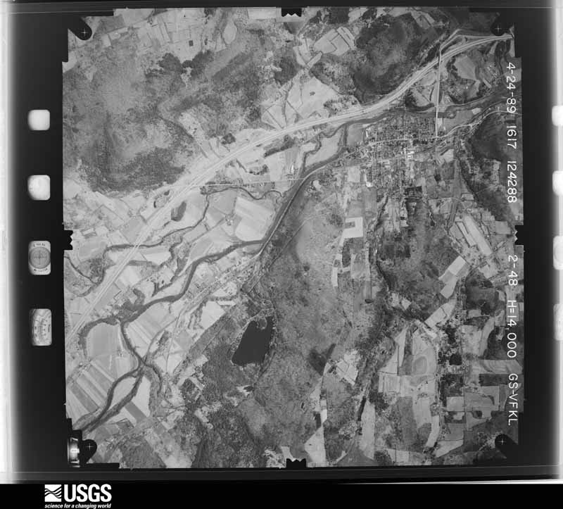
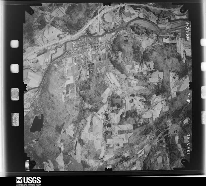
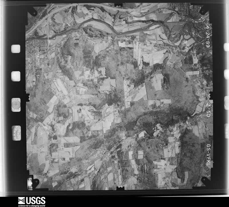
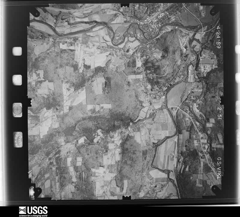
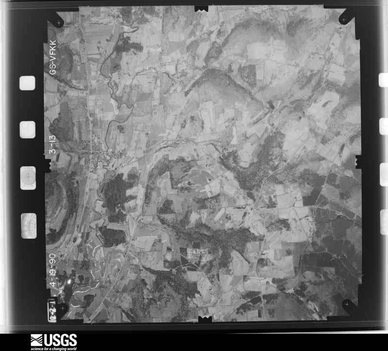
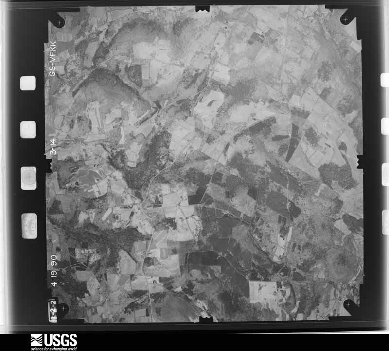
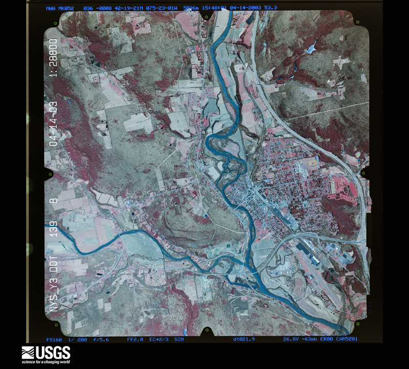
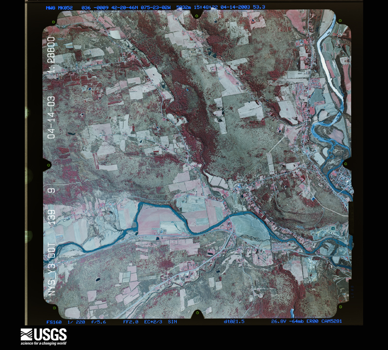
Flown by the U.S. Geological Survey between 1937 and 1989, the Aerial Photo Single Frames collection is the definitive mid-century view of the land: fields, roads and rivers as the camera saw them. The Survey holds 1,514 frames inside the rectangle that bounds this county; the 37 frames below were taken over the county itself, chosen across the decades of flights (at most four a year from that rectangle), so one flight cannot crowd out the rest. The full set is free to browse and download at EarthExplorer under the dataset Aerial Photo Single Frames.
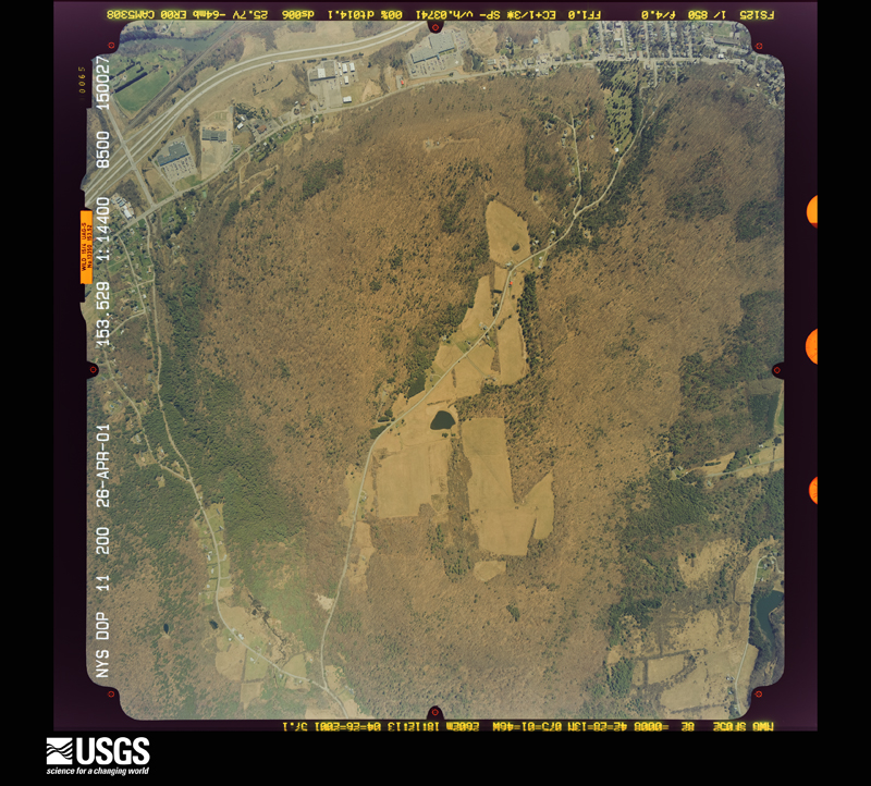
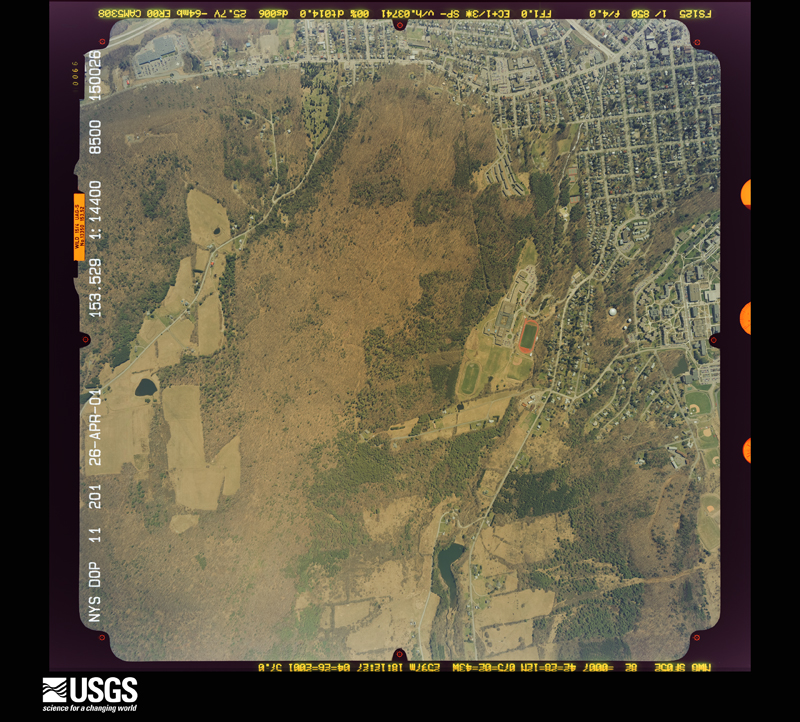
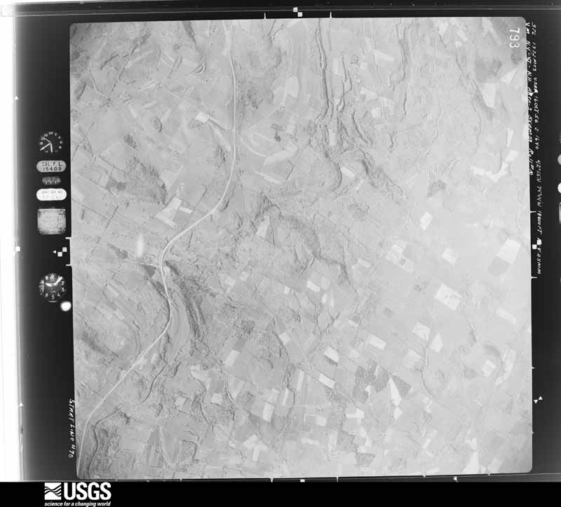
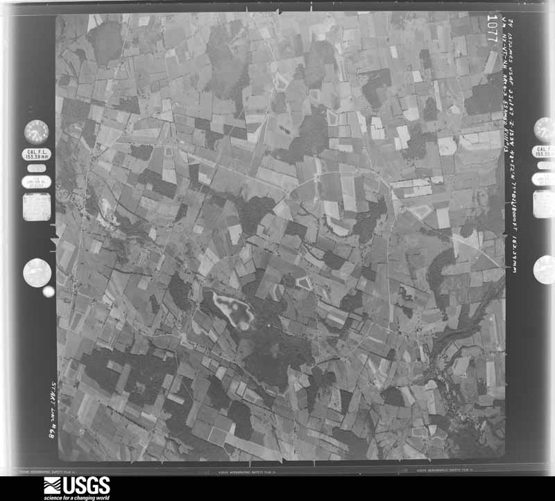



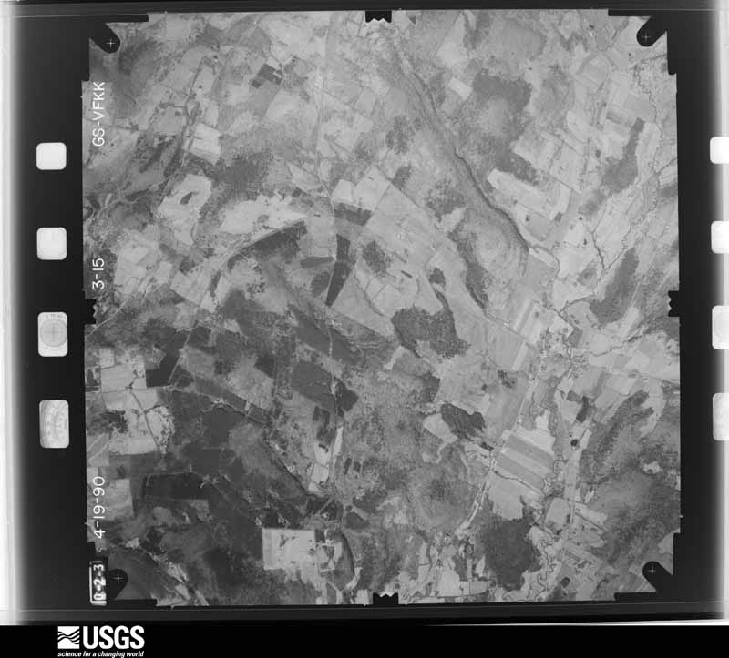
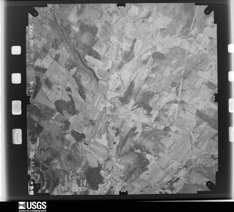
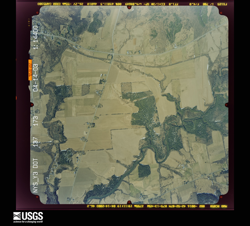
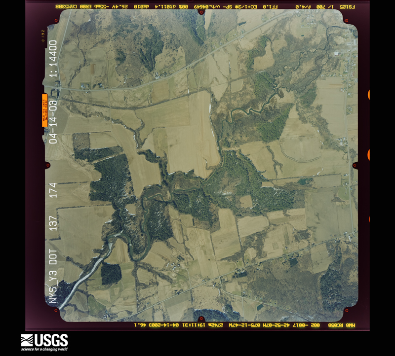
The thermometers that kept this county's weather, and the gages that measured the flow of its streams, as the federal records hold them. The extremes below are measured values from those records, not estimates.
Who lived here in 1950, one enumeration district at a time, as the Census Bureau described each district. Each row opens its official National Archives result, with Population Schedules and ED Maps available there.
Every wildfire the federal occurrence database records inside this county: 632 of them, burning about 744 acres. 43 started naturally and 64 were recorded as arson. Each settlement page carries the fires within five miles of it.
| Reported cause | Fires |
|---|---|
| Missing data/not specified/undetermined | 340 |
| Debris and open burning | 103 |
| Arson/incendiarism | 64 |
| Natural | 43 |
| Equipment and vehicle use | 26 |
| Smoking | 21 |
| Misuse of fire by a minor | 11 |
| Recreation and ceremony | 10 |
| Power generation/transmission/distribution | 7 |
| Railroad operations and maintenance | 4 |
| Other causes | 3 |
The five largest, by the area the report gives. None of them was recorded as arson.
| Date | Cause | Size | Reported by | Name on the report |
|---|---|---|---|---|
| 26 March 1995 | Debris and open burning | 45 acres | New York Forest Rangers | not named |
| 29 October 1994 | Smoking | 22 acres | New York Forest Rangers | not named |
| 1 May 2001 | Smoking | 12 acres | New York Forest Rangers | not named |
| 11 May 1997 | Debris and open burning | 10 acres | New York Forest Rangers | not named |
| 27 March 1995 | Smoking | 10 acres | New York Forest Rangers | not named |
| 8 April 1999 | Debris and open burning | 9.0 acres | New York Forest Rangers | not named |
| 3 October 2017 | Other causes | 8.2 acres | New York Forest Rangers | FISH AND GAME FIRE |
| 17 April 2009 | Recreation and ceremony | 7.1 acres | Fire Department of New York | not named |
Every settlement page carries the fires within five miles of it - see the settlement index below.
The NOAA Storm Events Database holds 664 reports for this county, causing 2 deaths, 22 injuries and about $125,532,250 in recorded property damage. Each settlement page carries the reports that name it.
| Kind of event | Reports |
|---|---|
| Thunderstorm Wind | 444 |
| Hail | 134 |
| Flash Flood | 67 |
| Tornado | 13 |
| Lightning | 3 |
| Funnel Cloud | 2 |
| Flood | 1 |
The most serious of them, by death, then injury, then recorded damage. The accounts are quoted exactly as the forecast office filed them.
| When | Event | Place named | Harm | What the report says |
|---|---|---|---|---|
| May 1998 | Thunderstorm Wind | Cooperstown | 1 killed, 5 hurt, $100,000 | Severe thunderstorms moved across the county during the afternoon. Trees and wires were blown down in Cooperstown and Laurens between 4:30 and 4:35 pm EDT. Numerous trees and wires were also downed by the wind in Schenevus at 4:45 pm and Oneonta at 4:50 pm EDT. Transmission towers and large signs were also toppled in Oneonta. Numerous roads were blocked due to the downed trees and many of them were closed for several hours. In Oneonta, a 32 year old man was struck and killed by a large tree limb. Several additonal injuries were sustained from flying debris. |
| June 1986 | Thunderstorm Wind | not stated | 1 killed | no account filed |
| May 1998 | Thunderstorm Wind | Cooperstown | 10 hurt, $125,000 | Severe thunderstorms produced widespread damage across the county. Trees and wires were blown down in Cooperstown and northern Burlington Flats between 3:30 and 3:40 pm EDT. Several roads were blocked due to the downed trees and wires. People were trapped in their vehicles by falling trees and some sustained injury from flying debris, broken glass, or falling wires. |
| May 1998 | Tornado (F3) | Laurens | 3 hurt, $800,000 | A supercell thunderstorm became tornadic as it crossed southern portions of the county around 6:30 pm EDT. The storm cut nearly a 5 mile path from Laurens eastward into Milford township. This twister incurred major damage to heavily forested areas. Thousands of trees were laid out with the width of damage varying up to nearly a half mile in spots. Trees were blown over in a chaotic and almost circular pattern as viewed from aerial damage surveys. Several homes within the path of the twister also sustained heavy damage. In the town of Laurens, a well built home was nearly destroyed with only the back and a portion of the side wall left in tact. Many local roads were closed for up to 3 days as fallen trees made them completely impassable. This included portions of routes 12 and 44. The cell appeared to weaken as it approached Interstate 88 just east of Milford. County emergency officials estimated damage totals in excess of three quarters of a million dollars from this twister. Most of it stemmed from deforestation, repair of utility poles, and other repairs to homes and public structures. Three minor injuries were sustained from falling tree limbs and flying debris. |
| August 2007 | Thunderstorm Wind | Edmeston | 1 hurt, $3,000 | Several trees were blown down including a tree that fell on a motorcyclist. |
| July 2023 | Thunderstorm Wind | Schenevus | 1 hurt, $2,500 | Strong thunderstorm winds knocked down a tree onto a vehicle, injuring the driver. |
| July 2010 | Thunderstorm Wind | Laurens | 1 hurt, $2,000 | Numerous trees were blown down in the town of Laurens. One tree fell on a golf cart, injuring one person. |
| July 1990 | Thunderstorm Wind | not stated | 1 hurt | no account filed |
| September 2011 | Flood | Unadilla | $58,000,000 | Major flooding occurred along the Susquehanna River near Unadilla, NY from September 7, 2011 to September 10, 2011. The river crested at 16.34 feet on September 8 at 9:15 PM. The hardest hit area was the village of Sidney, NY which incurred tens of millions of dollars in property damage. |
| June 2006 | Flash Flood | Countywide | $50,000,000 | no account filed |
| January 1996 | Flash Flood | Countywide | $5,400,000 | no account filed |
| July 1992 | Tornado (F1) | not stated | $2,500,000 | no account filed |
| September 2011 | Flash Flood | Otego | $2,000,000 | Numerous roads were closed due to flooding. A state of emergency was declared in Otego. |
| April 2011 | Flash Flood | Gilbertsville | $1,000,000 | Scattered roads were washed out and floods were reported throughout the county. |
| September 2004 | Flash Flood | Southeast Portion | $1,000,000 | Heavy rain with amounts of 3 to 4.5 inches in the southeast half of the county caused flash flooding. The rain which fell from the 16th to the 18th was due to the remnants of hurricane Ivan. A trailer park near Oneonta started experiencing severe flooding around 4:30 AM. County highway 5 flooded in the town of Otego. Several other roadways also had water on them. Several creeks and streams, including Schenevus Creek, went out of its banks. |
| April 2005 | Flash Flood | Countywide | $500,000 | no account filed |
| June 1986 | Tornado (F0) | not stated | $250,000 | no account filed |
| June 1976 | Tornado (F2) | not stated | $250,000 | no account filed |
| June 2025 | Flash Flood | Gilbertsville | $100,000 | Numerous roads, bridges, and homes were flooded in and around the village. |
| August 2019 | Flash Flood | Otego | $100,000 | Wheaton Creek rapidly flooded and washed out a large section of Wheaton Creek Road at the bridge crossing. Heavy damage to the bridge forced closure of the road for several days. |
| August 2011 | Flash Flood | Cooperstown | $100,000 | Flash flooding reported in many locations around Otsego county. At least 8 roads closed due to flooding. |
| April 2011 | Tornado (EF1) | Gilbertsville | $100,000 | A tornado touched down in woods near Route 51 between Mount Upton and Gilbertsville, producing EF0 damage until reaching Copes Corners Road where it strengthened to EF1, snapping and uprooting trees through a heavily wooded area. It moved up the hill and across the athletic fields of the Gilbertsville-Mount Upton Central School. Here, it threw metal bleachers several hundred yards to the north. It also tore a press box off steel beams, hurled a railroad tie used in a parking lot over a hundred feet into a fence, broke off metal poles used for hanging netting, and bent a soccer goal back in the southward direction. The field was littered with small tree missiles pointing in both directions with a southward direction on the left side of the path. A portable toilet was lifted and dropped about a half mile away and some other light material was found almost a mile away. The tornado continued to the northeast passing south of Gilbertsville, with damage primarily to trees. The path continued to narrow and weaken, ending a couple miles east of Gilbertsville. |
| June 2009 | Flash Flood | Otego | $100,000 | Flash flooding from heavy rain caused one structure to collapse and one home was flooded. Streets were flooded in Otego. Interstate 88 was closed temporarily due to mud flow. Radar indicated an area of 2.50 to 4.00 inches of rain fell as far as 4 miles north and east of Otego. |
| August 2007 | Thunderstorm Wind | Wells Bridge | $75,000 | A National Weather Service storm survey found straight-line wind damage across southern Otsego and northern Delaware counties. Tree damage occurred along an 8 mile long and 6 mile wide stretch from Otego and Unadilla through Wells Bridge in Otsego county, into Sidney and Franklin in Delaware county. Two homes were damaged along the path. Estimated wind speeds were between 85 and 95 mph, rating an EF1 on the Enhanced Fujita Scale. |
| May 1998 | Tornado (F0) | Portlandville | $75,000 | A severe thunderstorm briefly became tornadic early in the evening as it crossed over the ridges of the Crumhorn mountains and into the Portlandville/Maryland area. Damage consisted of tree tops twisted off in about a 30 yard wide area. The path of the twister was around three quarters of a mile with the intensity rated as F0. Just beyond Morehouse Brook in Maryland township, the tornado appeared to lift back into the cloud base with no visible signs of damage downstream. |
| July 1999 | Flash Flood | East Portion | $75,000 | no account filed |
| May 1998 | Thunderstorm Wind | Exeter Center | $60,000 | A line of severe thunderstorms moved across Otsego County during the afternoon. Trees and wires were knocked down in Exeter Center at 2:55 pm, Hartwick at 3:20 pm, Morris at 3:27 pm, and Unadilla at 4:12 pm EDT. |
| August 2024 | Flash Flood | Wells Bridge | $50,000 | A section of Route 7 between Wells Bridge and Unadilla was washed out by severe flash flooding. |
| July 2021 | Flash Flood | Morris | $50,000 | A bridge was flooded. Hay bales were blocking the creek underpass. The local fire department was flooded out. |
| July 2013 | Flash Flood | Oneonta | $50,000 | Area roads were severely flooded. Oneonta City Hall was flooded. |
| June 2013 | Flash Flood | Cooperstown | $50,000 | Water was flooding over most streets in the village. Some roads washed out. |
| August 2011 | Flash Flood | Cherry Vly | $50,000 | Fifty people evacuated in Cherry Valley due to flooding. 5 inches of rain was reported. |
| September 2011 | Flash Flood | Oneonta | $50,000 | Numerous roads flooded in the City of Oneonta. SUNY Oneonta was almost cut off on the hill above the flooding. |
| July 1999 | Thunderstorm Wind | Oneonta | $50,000 | Numerous cars and houses sustained minor damage throughout the city and surrounding areas of Oneonta as strong thunderstorm gusts uprooted trees and transmission poles and lines. |
| September 1998 | Thunderstorm Wind | Springfield | $50,000 | The southern tail end of a line of thunderstorms that produced wind damage upstream to the northwest also produced isolated wind damage in the far northern portions of Otsego county late in the evening. Strong winds damaged a door and blew in part of a small wall at a house along route 20 in Springfield Township around 1110 pm EDT. Only a short time later, the roof was blown off of a trailer in East Springfield. |
| July 1997 | Thunderstorm Wind | Gilbertsville | $50,000 | The same severe thunderstorm that produced widespread wind damage in northern Broome and southern Chenango counties ripped through southern Otsego county. Again, wind damage was the main story. To the southwest of Gilbertsville, trees and wires were blown down across Route 18. Further to the east, many additional trees and utility poles were toppled in both Otego and Oneonta. |
| July 1994 | Thunderstorm Wind | Oneonta | $50,000 | no account filed |
| July 1994 | Thunderstorm Wind | not stated | $50,000 | no account filed |
| July 1994 | Thunderstorm Wind | Hartwick Seminary | $50,000 | no account filed |
| August 1993 | Thunderstorm Wind | Cooperstown | $50,000 | no account filed |
| May 2011 | Flash Flood | Emmons | $35,000 | Heavy rain caused flooding in and around the Oneonta area. Main Street in Oneonta experienced flooding, from Main Street south on County Route 28 toward the Franklin Mountain area. Small streams and basements flooded, with water running down hillsides through some homes. An automated rain gauge east of Oneonta recorded 2.86 inches. |
| June 1998 | Thunderstorm Wind | Oneonta | $35,000 | A thunderstorm became severe across southern sections of the county. Many trees and wires were downed in Oneonta around 9 pm EDT. The storm then continued eastward into Milford and produced additional wind damage in the form of toppled trees and utility poles. One such tree fell across a house and damaged its front porch. |
| May 2014 | Flash Flood | Edmeston | $25,000 | A road washout occurred along State Highway 20 near Edmeston. |
| July 2013 | Flash Flood | Oneonta | $25,000 | Heavy rainfall caused extensive urban and storm drain flash flooding throughout the City of Oneonta. Cars and people were stranded on local roadways. |
| June 2013 | Flash Flood | Springfield | $25,000 | Widespread flooding of roads was occurring in the area. Some washouts were reported. |
| May 2004 | Thunderstorm Wind | Worcester | $25,000 | Numerous trees down with two silos sustaining minor damage from thunderstorm winds. |
| June 1998 | Thunderstorm Wind | Richfield Spgs | $25,000 | A thunderstorm became severe as it accelerated across northern sections of the county late in the afternoon. Trees and wires were downed in Richfield Springs around 410 pm EDT. Almost 30 minutes later in the northeastern corner of the county, the same cell was responsible for additional downed trees in Cherry Valley. |
| June 1996 | Flash Flood | Edmeston | $25,000 | no account filed |
| May 1995 | Thunderstorm Wind | Unadilla | $25,000 | no account filed |
| July 1987 | Tornado (F0) | not stated | $25,000 | no account filed |
| June 1987 | Tornado (F0) | not stated | $25,000 | no account filed |
| August 1961 | Tornado (F0) | not stated | $25,000 | no account filed |
| August 1958 | Tornado (F1) | not stated | $25,000 | no account filed |
| July 2021 | Thunderstorm Wind | Oneonta | $22,000 | Strong thunderstorm winds knocked down a tree onto power lines which then landed on a residence with smoke filling the house. |
| July 2020 | Thunderstorm Wind | Otego | $20,000 | Strong thunderstorm winds snapped dozens of trees along a swath from Route 7 to Interstate 88. Roof shingles and a barn door was also ripped off a building on Route 48. |
| May 2006 | Thunderstorm Wind | Richfield Spgs | $20,000 | Silo/grain elevator blown 500 feet into a house. |
| June 2005 | Thunderstorm Wind | Oneonta | $20,000 | Thunderstorm winds downed numerous trees wires. Metal was pulled off a roof just south of Milford. Oneonta was particularly hard hit. |
| August 1999 | Thunderstorm Wind | Oneonta | $20,000 | Trees felled by thunderstorm wind gusts damaged a fence at a residence and tore down cables and electric lines leading to the home. |
| December 1996 | Flash Flood | Countywide | $20,000 | no account filed |
| July 1995 | Thunderstorm Wind | Gilbertsville | $20,000 | no account filed |
The Survey's mineral resources record lists 6 workings inside this county. 5 still produce and 1 is closed or unrecorded. Each settlement page carries the workings within five miles of it.
| Commodity | Workings |
|---|---|
| Sand and Gravel, Construction | 5 |
| Stone, Crushed/Broken | 1 |
The least common of them first, because a county's hundredth gravel pit says nothing its first ten did not.
| Where | Site | Commodity | Status | Recorded |
|---|---|---|---|---|
| Springfield Quarry | Stone, Crushed/Broken | Past Producer | ||
| Colliersville Pit | Sand and Gravel, Construction | Producer | ||
| Hemlock Road Pit | Sand and Gravel, Construction | Producer | ||
| Robertson Number 1 | Sand and Gravel, Construction | Producer | ||
| Unadilla Concrete Prods S & G | Sand and Gravel, Construction | Producer | ||
| Valley View Road | Sand and Gravel, Construction | Producer |
Named settlements recorded in the Geographic Names Information System, each with the topographic sheets covering it. Villages, hamlets and abandoned places alike. Each is shown with the nearest named watercourse or landform and the survey quadrangle it falls on.
Burlington town · 13315 · On Fly Brook · Edmeston quadrangle
16 sheets, 1910 to 1986
Richfield town · 13439 · Near Gunset Hill · Schuyler Lake quadrangle
17 sheets, 1907 to 1986
Burlington town · 13315 · On Fly Brook · Edmeston quadrangle
16 sheets, 1910 to 1986
Worcester town · 12064 · Near Stone Quarry Hill · South Valley quadrangle
17 sheets, 1904 to 1985
Hartwick town · 13807 · Near Hinman Hollow · Milford quadrangle
19 sheets, 1907 to 1985
Milford town · 13820 · On Schenevus Creek · West Davenport quadrangle
17 sheets, 1909 to 1986
Milford town · 12116 · On Schenevus Creek · West Davenport quadrangle
17 sheets, 1909 to 1986
Butternuts town · 13776 · On Dry Brook · Gilbertsville quadrangle
17 sheets, 1915 to 1985
Springfield town · 13333 · Near Briar Hill · East Springfield quadrangle
17 sheets, 1903 to 1985
Worcester town · 12064 · Near Brooker Hollow · Charlotteville quadrangle
17 sheets, 1904 to 1985
Maryland town · 12155 · On Little Elk Creek · Schenevus quadrangle
19 sheets, 1907 to 1985
Exeter town · 13315 · Near Angel Hill · Schuyler Lake quadrangle
17 sheets, 1907 to 1986
New Lisbon town · 13810 · On Falls Brook · Mount Vision quadrangle
18 sheets, 1910 to 1986
Hartwick town · 13348 · Near Hawkins Hill · Hartwick quadrangle
17 sheets, 1910 to 1986
Butternuts town · 13825 · Near Filer Hill · Gilbertsville quadrangle
17 sheets, 1915 to 1985
Butternuts town · 13825 · On Dunderberg Creek · Gilbertsville quadrangle
17 sheets, 1915 to 1985
Decatur town · 12197 · Near Algerine Hill · South Valley quadrangle
17 sheets, 1904 to 1985
New Lisbon town · 13315 · Near Wooley Hill · Edmeston quadrangle
16 sheets, 1910 to 1986
Butternuts town · 13776 · On Dunderberg Creek · Gilbertsville quadrangle
17 sheets, 1915 to 1985
Decatur town · 12197 · Near Elliot Hill · South Valley quadrangle
17 sheets, 1904 to 1985
Hartwick town · 13326 · On Black Brook · Cooperstown quadrangle
19 sheets, 1907 to 1985
Butternuts town · 13808 · On Cahoon Creek · Gilbertsville quadrangle
17 sheets, 1915 to 1985
Pittsfield town · 13411 · On Wharton Creek · New Berlin North quadrangle
17 sheets, 1910 to 1986
Middlefield town · 13326 · Near Hogs Back · East Springfield quadrangle
17 sheets, 1903 to 1985
Exeter town · 13348 · On Lidell Creek · Schuyler Lake quadrangle
17 sheets, 1907 to 1986
Plainfield town · 13491 · Near Mount Markham · Unadilla Forks quadrangle
16 sheets, 1907 to 1986
Springfield town · 13333 · Near Pine Cobble · East Springfield quadrangle
17 sheets, 1903 to 1985
Middlefield town · 13450 · On O'Connell Brook · Westford quadrangle
18 sheets, 1907 to 1985
Middlefield town · 13326 · Near Hogs Back · East Springfield quadrangle
17 sheets, 1903 to 1985
Laurens town · 13810 · On Keyes Brook · Mount Vision quadrangle
18 sheets, 1910 to 1986
Otsego town · 13337 · On Fly Creek · Cooperstown quadrangle
19 sheets, 1907 to 1985
Burlington town · 13315 · On Dundee Brook · Unadilla Forks quadrangle
16 sheets, 1907 to 1986
Hartwick town · 13326 · Near Hawkins Hill · Hartwick quadrangle
17 sheets, 1910 to 1986
Middlefield town · 13326 · On Oaks Creek · Cooperstown quadrangle
19 sheets, 1907 to 1985
Otsego town · 13326 · Near Wedderspoon Hollow · Richfield Springs quadrangle
16 sheets, 1903 to 1985
Roseboom town · 13320 · On Snyder Creek · Westford quadrangle
18 sheets, 1907 to 1985
Richfield town · 13439 · Near Pray Hill · Schuyler Lake quadrangle
17 sheets, 1907 to 1986
Richfield town · 13439 · Near Canadarago Hill · Richfield Springs quadrangle
16 sheets, 1903 to 1985
Butternuts town · 13825 · Near Filer Hill · Gilbertsville quadrangle
17 sheets, 1915 to 1985
Unadilla town · 13849 · On Indian Creek · Gilbertsville quadrangle
17 sheets, 1915 to 1985
Maryland town · 12155 · On Sparrowhawk Brook · Schenevus quadrangle
19 sheets, 1907 to 1985
Pittsfield town · 13411 · On Wharton Creek · New Berlin South quadrangle
16 sheets, 1910 to 1986
Hartwick town · 13810 · Near Bunn Hill · Mount Vision quadrangle
18 sheets, 1910 to 1986
Roseboom town · 13320 · Near Honey Hill · South Valley quadrangle
17 sheets, 1904 to 1985
Springfield town · 13468 · Near Pine Cobble · East Springfield quadrangle
17 sheets, 1903 to 1985
Springfield town · 13468 · On Hayden Creek · Richfield Springs quadrangle
16 sheets, 1903 to 1985
Springfield town · 13468 · East Springfield quadrangle
17 sheets, 1903 to 1985
Hartwick town · 13326 · Near Hawkins Hill · Hartwick quadrangle
17 sheets, 1910 to 1986
Otsego town · 13337 · Near Panther Mountain · Richfield Springs quadrangle
16 sheets, 1903 to 1985
Butternuts town · 13808 · On Thorp Brook · Gilbertsville quadrangle
17 sheets, 1915 to 1985
Plainfield town · 13491 · Near Mount Markham · Unadilla Forks quadrangle
16 sheets, 1907 to 1986
Unadilla town · 13859 · On Sand Hill Creek · Franklin quadrangle
16 sheets, 1915 to 1985
Burlington town · 13315 · On Fly Brook · Edmeston quadrangle
16 sheets, 1910 to 1986
Exeter town · 13491 · Near Welch Hill · Unadilla Forks quadrangle
16 sheets, 1907 to 1986
Middlefield town · 13326 · On Bliss Creek · Cooperstown quadrangle
19 sheets, 1907 to 1985
Unadilla town · 13849 · Near Sisson Hill · Gilbertsville quadrangle
17 sheets, 1915 to 1985